Block
From the record
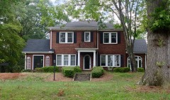
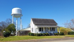
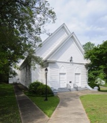
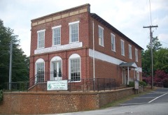
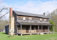
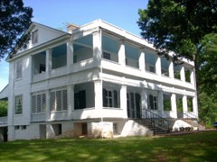
26 National Register listings published here.
Sources: the National Register database, National Park Service
76 topographic sheets and 18 fire insurance atlases across 3 places.
26 National Register listings published here.
Sources: the National Register database, National Park Service
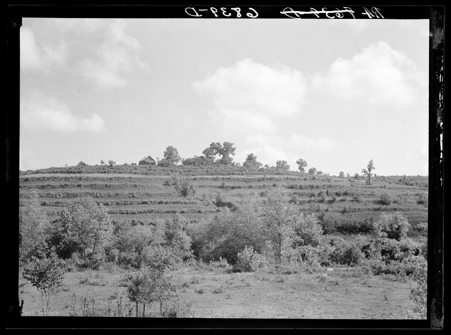
Taken for the Office of War Information and the Farm Security Administration, who photographed the country between 1935 and 1944. Works of United States government photographers, with no known restriction on use. Each opens its catalogue record.

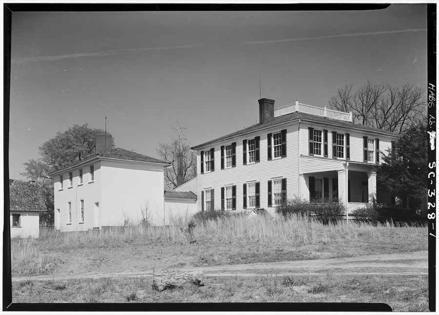
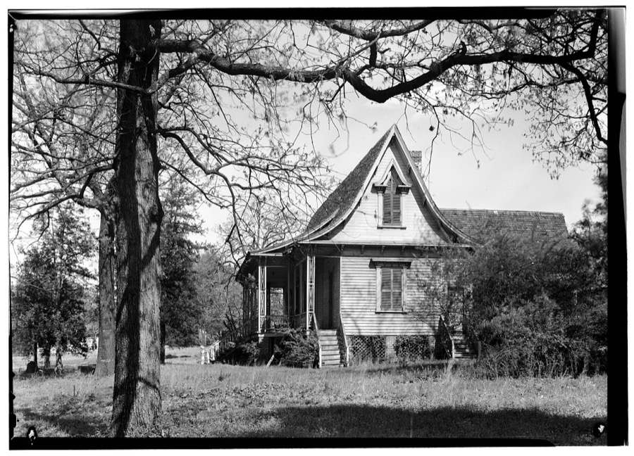
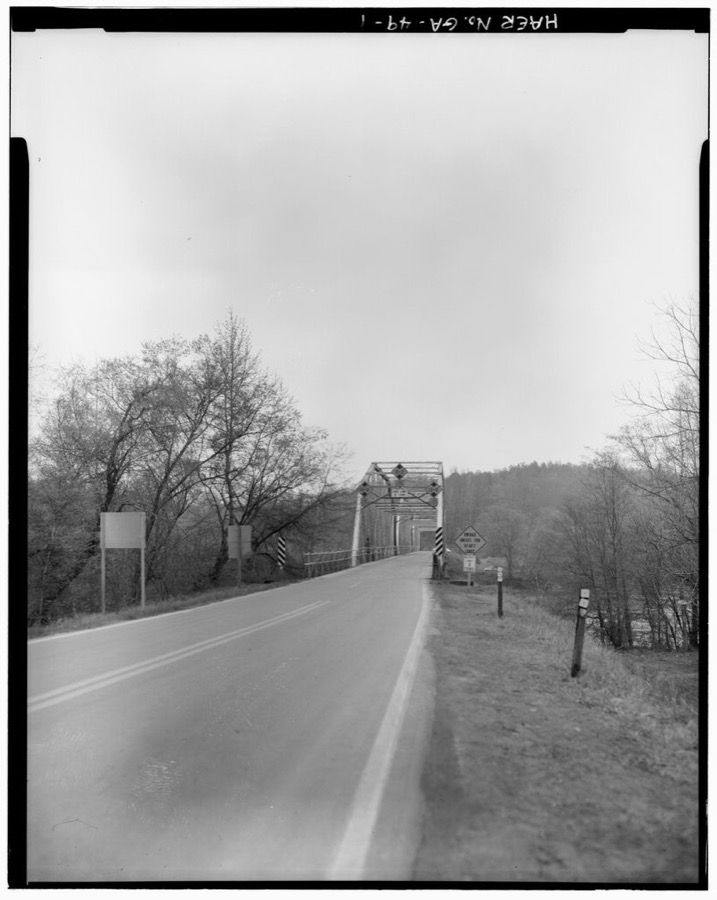
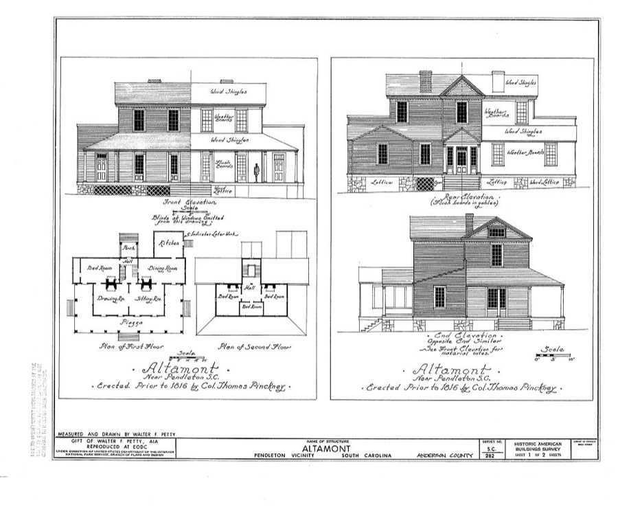
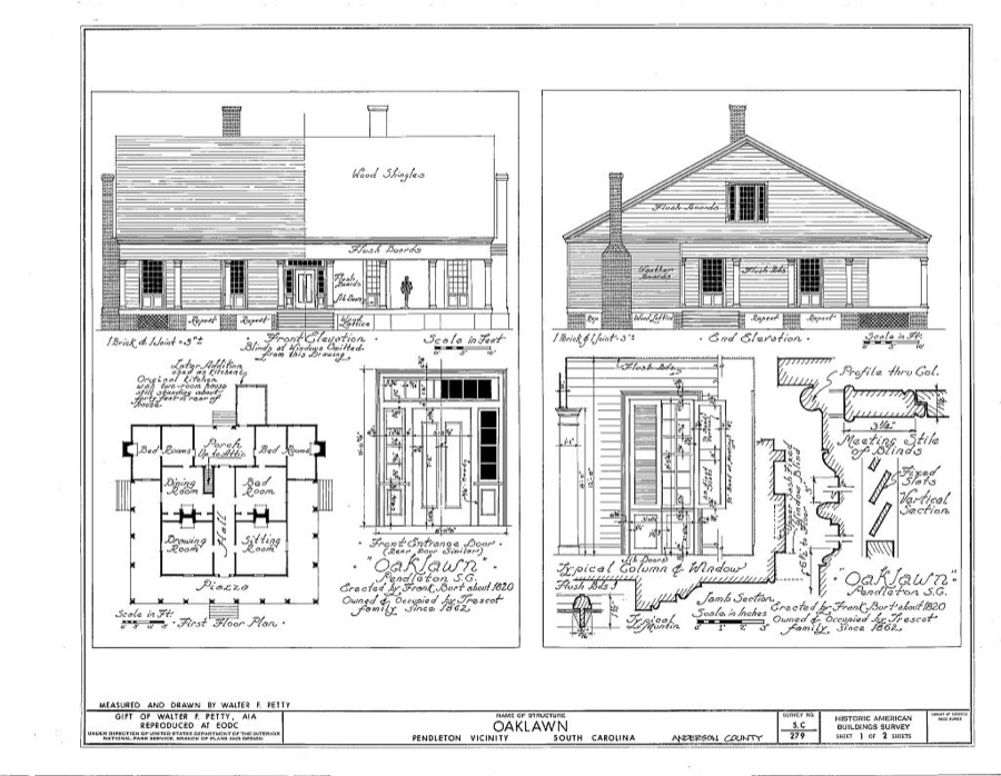
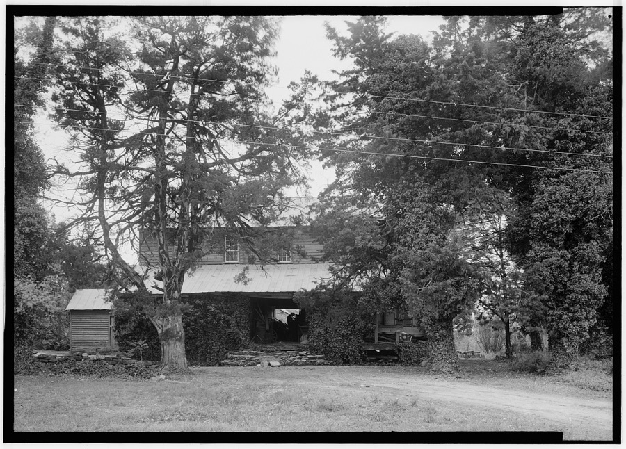
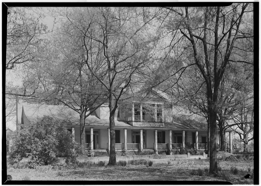
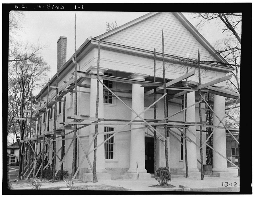
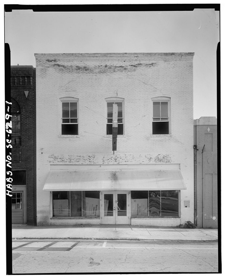
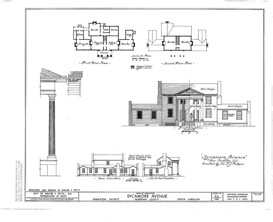
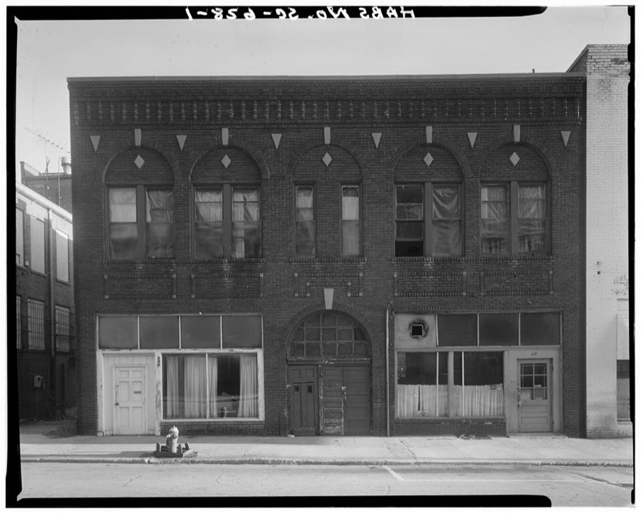
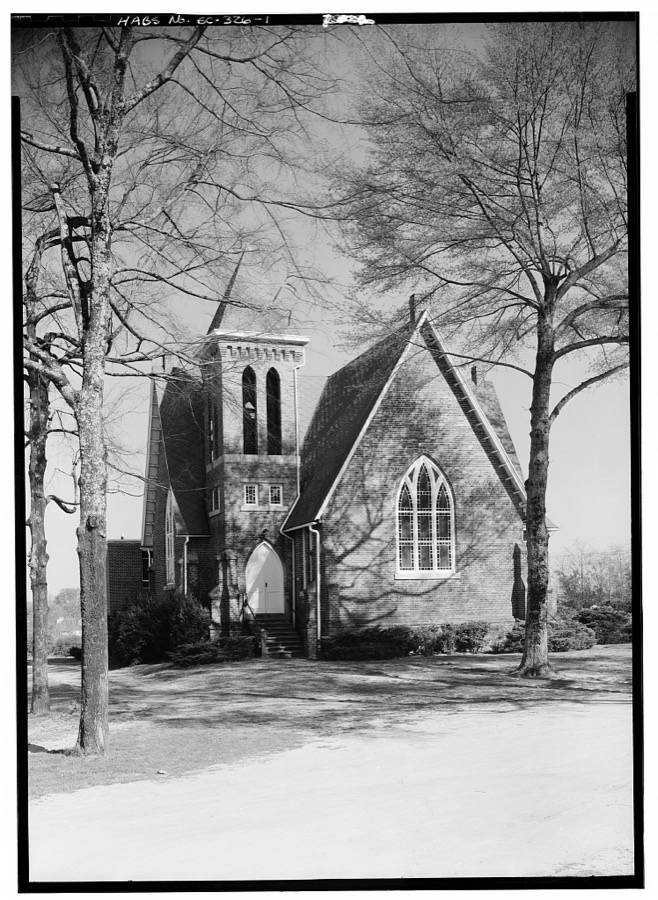
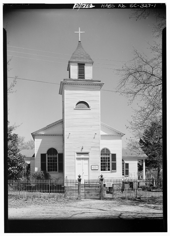
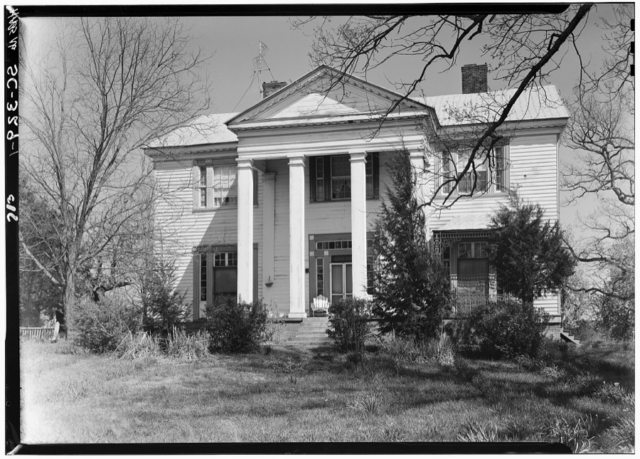
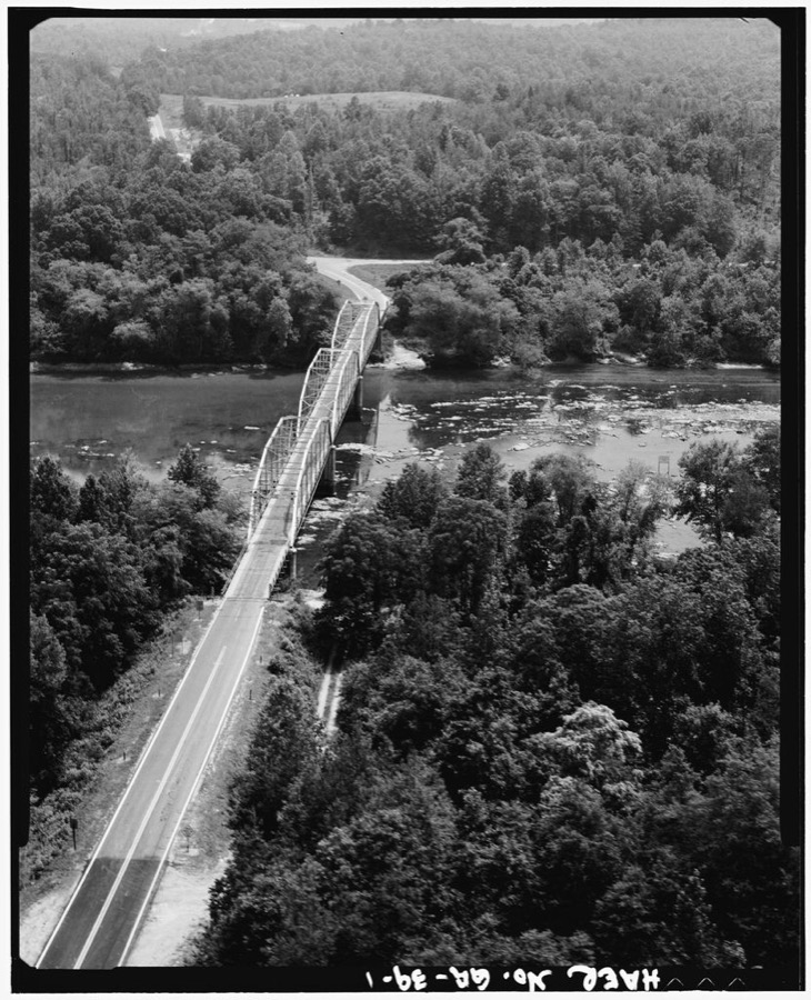

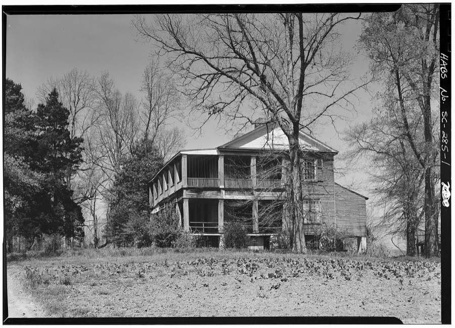
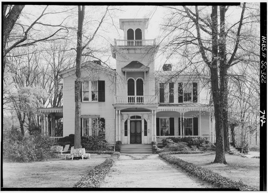
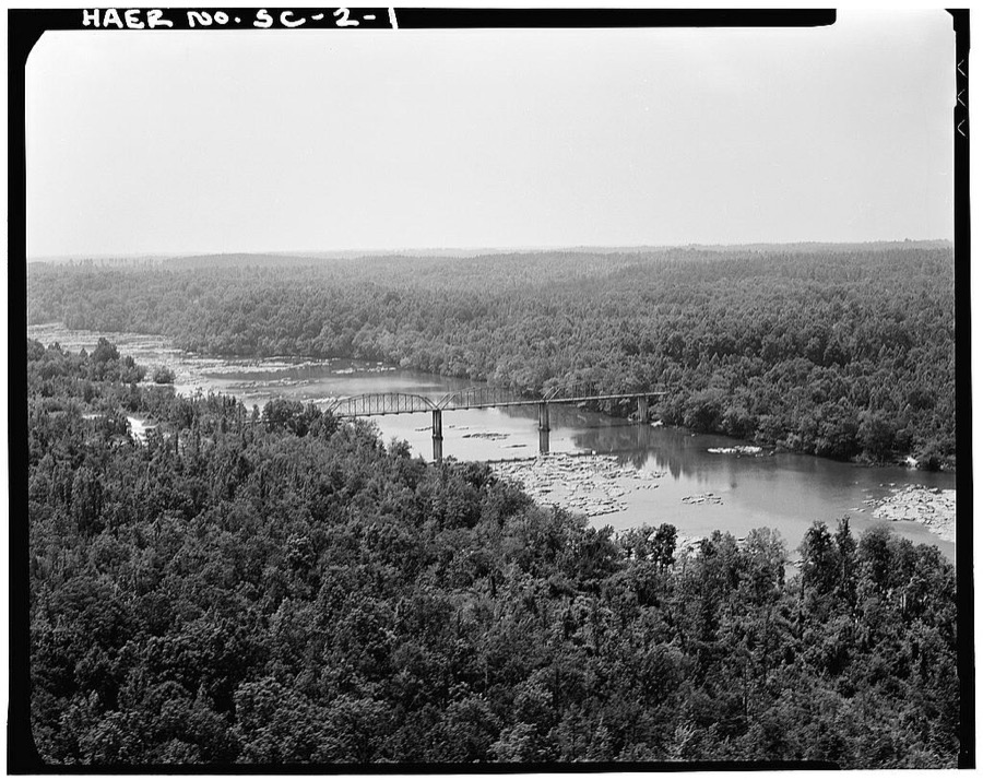
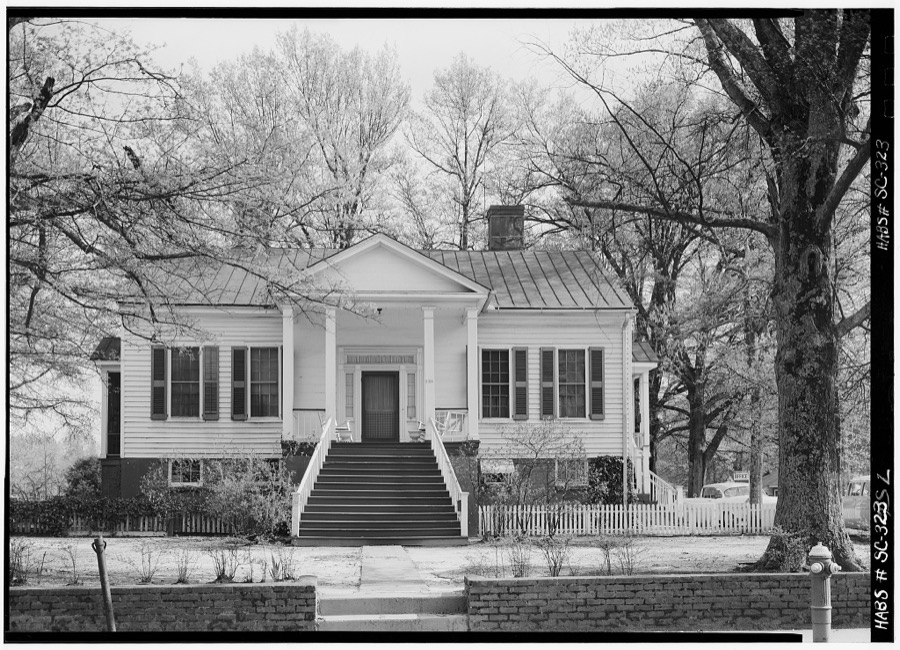
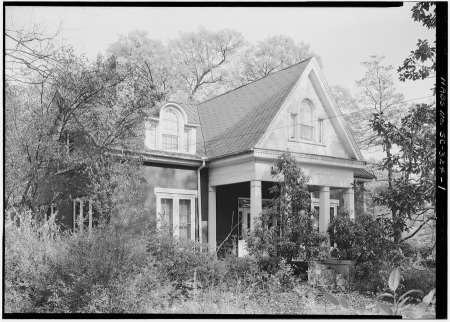
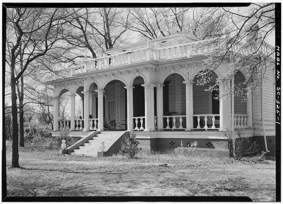
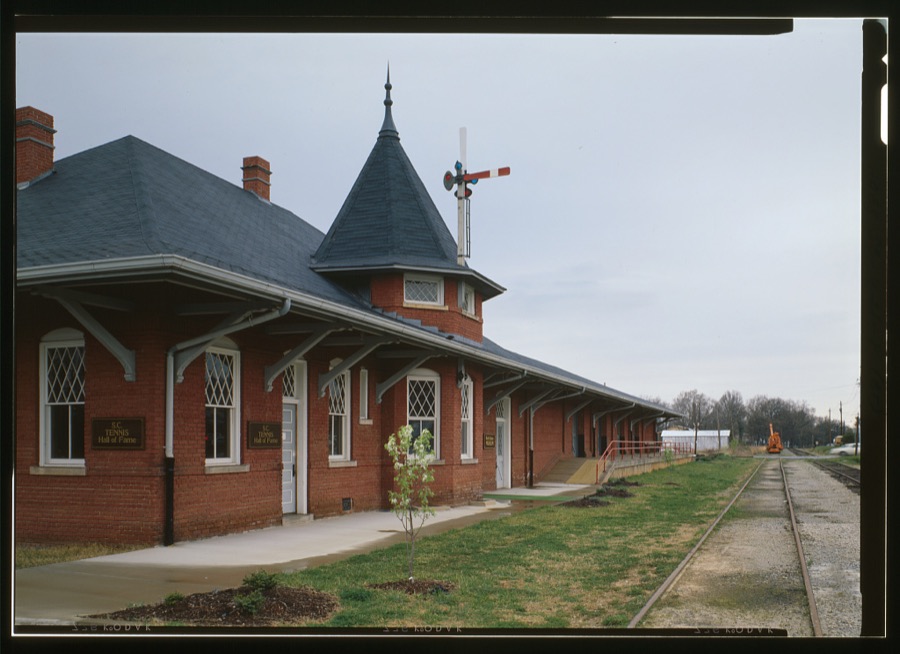
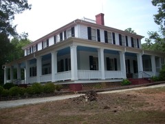
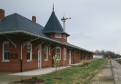
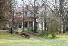
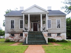
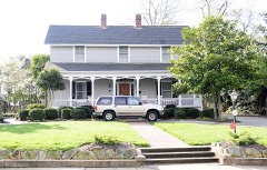
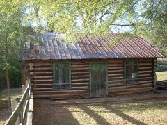
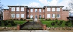
Every property in this county listed on the National Register of Historic Places, with the year it was listed and the federal nomination document.
Sampled issues, machine-read from the Library of Congress scan and published page by page, so every headline and column is searchable text.
Anderson, S.C., 1915 to 1917. Machine-read from the Library of Congress scan.
Anderson, S.C., 1914 to 1917. Machine-read from the Library of Congress scan.
Anderson, S.C., 1914 to 1915. Machine-read from the Library of Congress scan.
Drawn when these were printed as single large sheets: the town seen from the air, and the county divided into its farms with every owner named. Each opens the original at the Library of Congress.


Selected from the Digital Public Library of America's 5 image records catalogued for this county. Every one shown here carries a public-domain status or a licence that permits reuse on a site that carries advertising; non-commercial, share-alike and restricted images are excluded. The selection is spread across the county's towns (at most eight per town), so no single institution's bulk upload crowds out the rest. Each opens the holding library's record, and the complete set at the Digital Public Library of America is one click away.
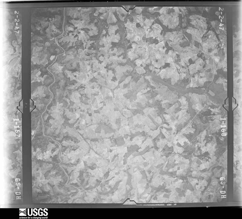
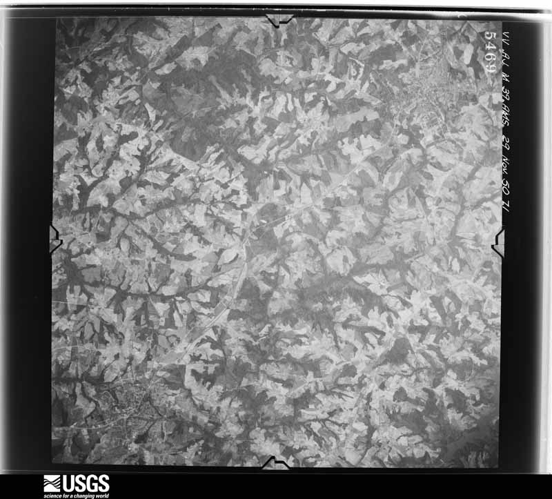
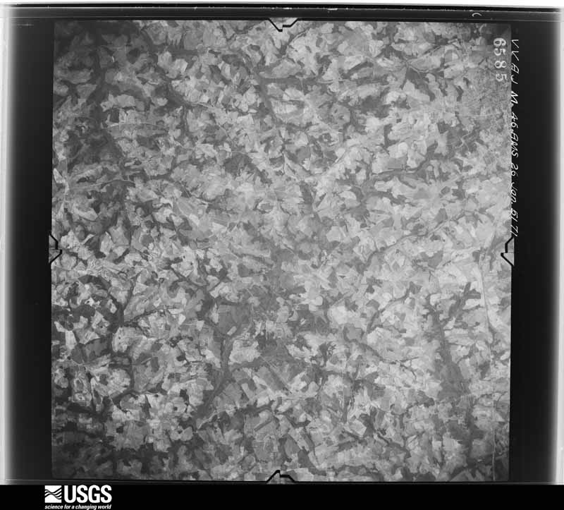
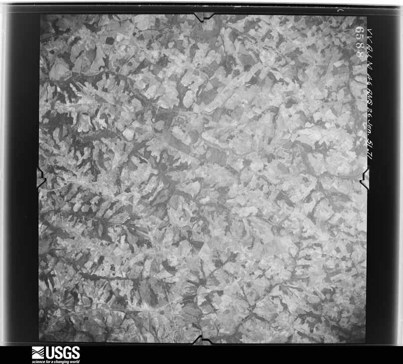
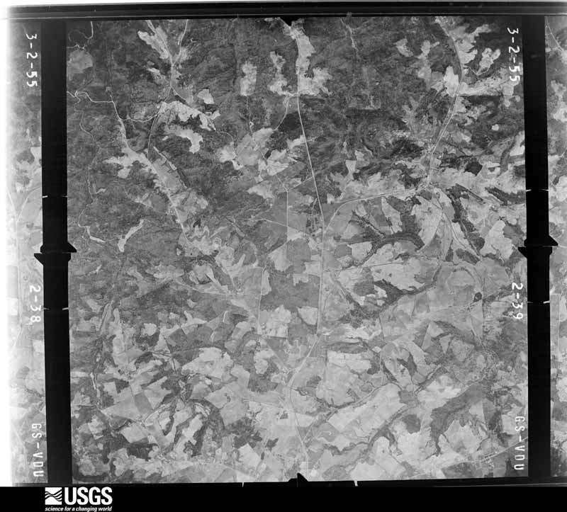
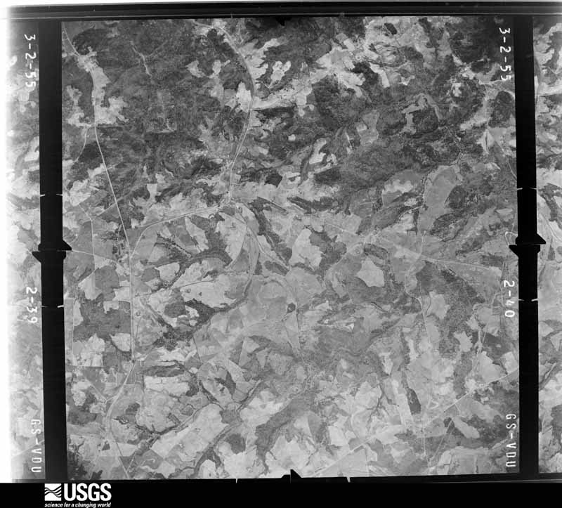
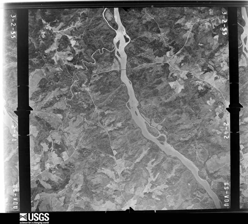
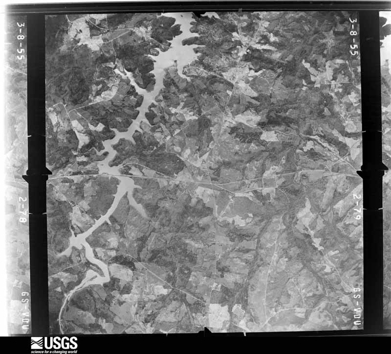
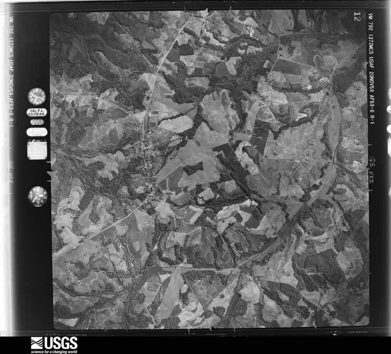
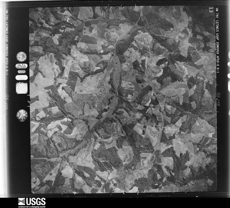
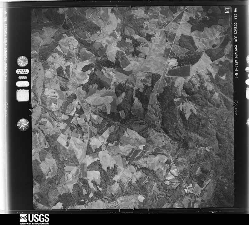
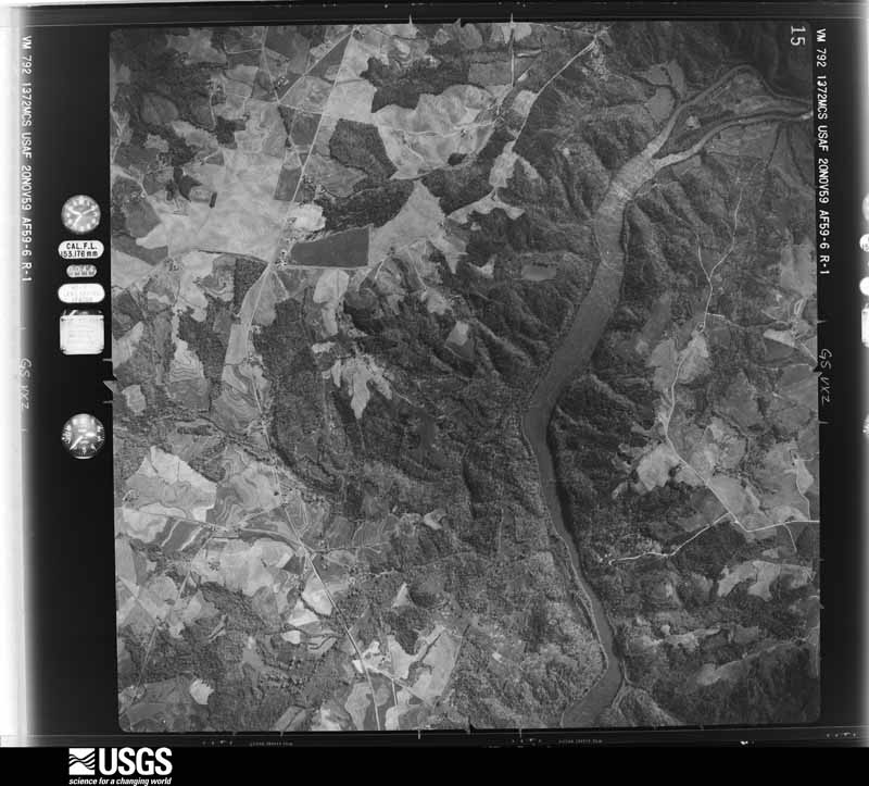
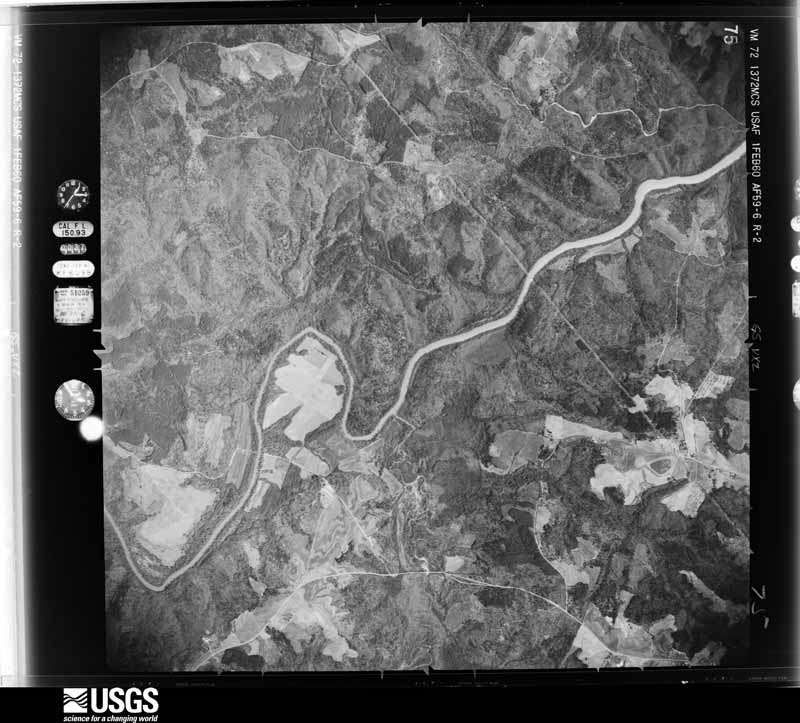
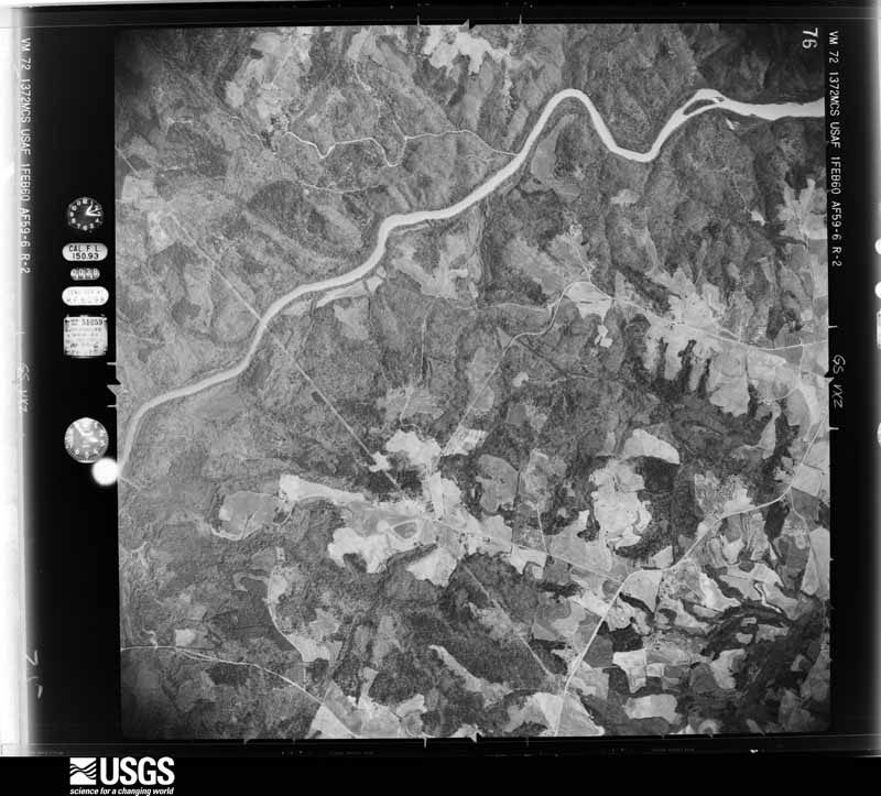
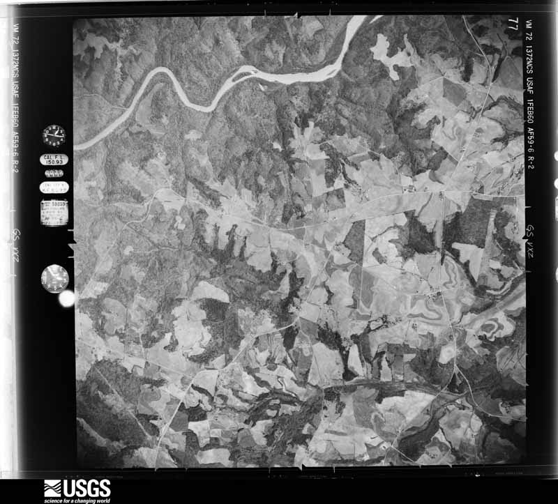
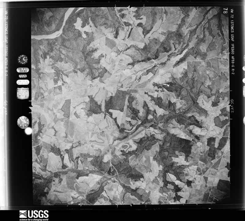
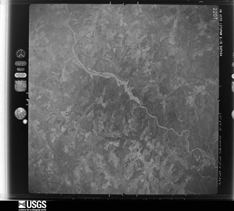
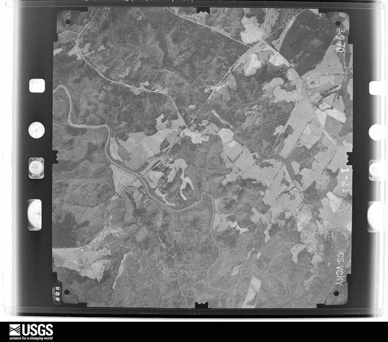
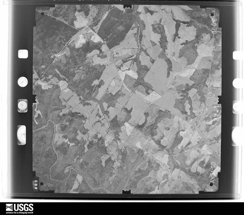
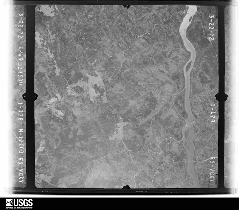
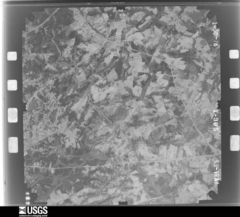
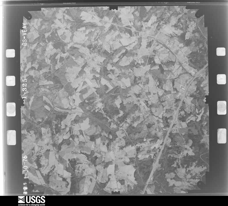
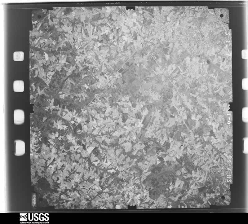
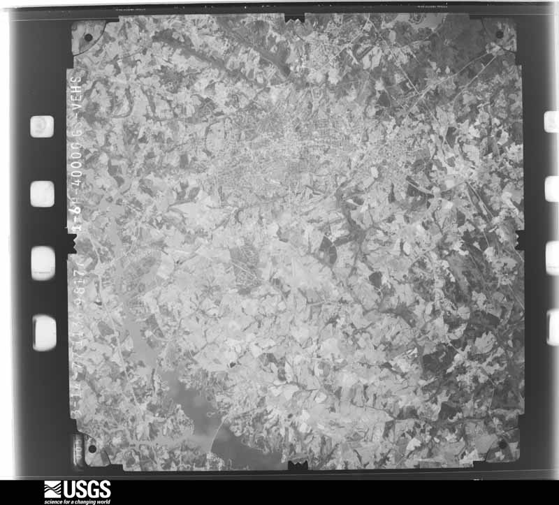
Flown by the U.S. Geological Survey between 1937 and 1989, the Aerial Photo Single Frames collection is the definitive mid-century view of the land: fields, roads and rivers as the camera saw them. The Survey holds 1,342 frames inside the rectangle that bounds this county; the 48 frames below were taken over the county itself, chosen across the decades of flights (at most four a year from that rectangle), so one flight cannot crowd out the rest. The full set is free to browse and download at EarthExplorer under the dataset Aerial Photo Single Frames.
























The thermometers that kept this county's weather, and the gages that measured the flow of its streams, as the federal records hold them. The extremes below are measured values from those records, not estimates.
Who lived here in 1950, one enumeration district at a time, as the Census Bureau described each district. Each row opens its official National Archives result, with Population Schedules and ED Maps available there.
Every wildfire the federal occurrence database records inside this county: 935 of them, burning about 3,884 acres. 19 started naturally and 93 were recorded as arson. Each settlement page carries the fires within five miles of it.
| Reported cause | Fires |
|---|---|
| Missing data/not specified/undetermined | 347 |
| Debris and open burning | 268 |
| Arson/incendiarism | 93 |
| Misuse of fire by a minor | 59 |
| Equipment and vehicle use | 49 |
| Smoking | 47 |
| Recreation and ceremony | 32 |
| Natural | 19 |
| Power generation/transmission/distribution | 9 |
| Other causes | 8 |
| Fireworks | 3 |
| Railroad operations and maintenance | 1 |
The five largest, by the area the report gives. None of them was recorded as arson.
| Date | Cause | Size | Reported by | Name on the report |
|---|---|---|---|---|
| 19 June 2007 | Recreation and ceremony | 325 acres | South Carolina Forestry Commission | SHAW ISLAND |
| 10 June 2008 | Missing data/not specified/undetermined | 202 acres | South Carolina Forestry Commission | not named |
| 26 May 2011 | Equipment and vehicle use | 79 acres | South Carolina Forestry Commission | not named |
| 27 January 2001 | Smoking | 63 acres | South Carolina Forestry Commission | not named |
| 4 June 2016 | Natural | 55 acres | South Carolina Forestry Commission | not named |
| 16 March 2006 | Smoking | 54 acres | South Carolina Forestry Commission | not named |
| 1 April 2014 | Debris and open burning | 52 acres | South Carolina Forestry Commission | not named |
| 15 March 1994 | Missing data/not specified/undetermined | 47 acres | South Carolina Forestry Commission | not named |
Every settlement page carries the fires within five miles of it - see the settlement index below.
The NOAA Storm Events Database holds 861 reports for this county, causing 3 deaths, 27 injuries and about $21,908,000 in recorded property damage. Each settlement page carries the reports that name it.
| Kind of event | Reports |
|---|---|
| Thunderstorm Wind | 515 |
| Hail | 226 |
| Flash Flood | 43 |
| Tornado | 38 |
| Lightning | 20 |
| Heavy Rain | 9 |
| Flood | 8 |
| Funnel Cloud | 2 |
The most serious of them, by death, then injury, then recorded damage. The accounts are quoted exactly as the forecast office filed them.
| When | Event | Place named | Harm | What the report says |
|---|---|---|---|---|
| September 2024 | Flash Flood | Powdersville | 1 killed, $300,000 | Stream gauges on the Saluda River in west Greenville and west Pelzer indicated flash flooding developed along the river after 8-15 inches of rain fell across the foothills in three days, with 1.5 to 2.5 inches of that falling in less than three hours on the morning of the 27th. Multiple homes and structures were inundated and damaged on the Anderson County side of the river from Powdersville down to Pelzer, including on Lakeview Dr, Birch River Rd, and on River Rd. A 60-year-old woman was killed when her vehicle was swept away in floodwater. |
| August 2023 | Thunderstorm Wind | Evergreen Hills | 1 killed, $30,000 | Ham radio operator and emergency manager reported numerous trees and limbs blown down, along with some power lines down from the Centerville area across the north side of Anderson. A 15-year-old male was killed by a tree falling on an outbuilding on Arnold Drive. Other trees fell on and blocked roads, while trees fell on homes on Oak Hill Dr and on Town Creek Dr. |
| July 2017 | Thunderstorm Wind | Starr | 1 killed | Department of Natural Resources reported a man and woman were thrown from their boat by a strong thunderstorm wind gust on Lake Hartwell near the Singing Pines recreation area. While the woman was quickly rescued by other boaters, the 54-year-old man was presumed drowned, as his body was never recovered. |
| August 2011 | Thunderstorm Wind | Starr | 7 hurt | A camping trailer was overturned on Campers Way, with minor injuries to seven occupants. Another trailer at this site was knocked off its supporting jack. |Numerous trees were blown down in the area as well, with one tree on a vehicle. |
| April 1980 | Tornado (F2) | not stated | 5 hurt, $2,500,000 | no account filed |
| April 1990 | Thunderstorm Wind | not stated | 4 hurt | no account filed |
| September 1996 | Tornado (F2) | Sandy Spgs | 2 hurt, $3,000,000 | no account filed |
| March 2010 | Lightning | Anderson | 2 hurt, $5,000 | Lightning struck a power line on Fawn Hill Rd, which resulted in minor injuries to two people in two different homes. Small fires ignited in both homes, causing some minor damage. |
| July 1997 | Thunderstorm Wind | Piedmont | 1 hurt, $8,000 | no account filed |
| July 2012 | Thunderstorm Wind | Pendleton | 1 hurt | A tree was blown down on Mechanic St. The tree fell on a fire fighter, causing minor injuries. |
| April 2011 | Thunderstorm Wind | Iva | 1 hurt | Several trees were blown down around Iva. One tree fell on a home, causing minor injuries to an occupant. |
| August 2002 | Lightning | Anderson | 1 hurt | A 16-year-old male received minor injuries when lightning struck a nearby tree. |
| August 2002 | Lightning | Sandy Spgs | 1 hurt | A man received minor injuries when lightning struck a nearby tree. |
| April 1999 | Thunderstorm Wind | West Pelzer | 1 hurt | no account filed |
| July 1999 | Lightning | Powdersville | 1 hurt | no account filed |
| May 1996 | Lightning | Starr | $5,000,000 | no account filed |
| July 2001 | Thunderstorm Wind | Anderson | $1,500,000 | A trained spotter measured a wind gust to 58 mph. Lightning struck a church in the Cheddar community, between Williamston and Belton. The resulting fire destroyed the main building. |
| September 1996 | Tornado (F1) | (And)Anderson Co Arp | $1,000,000 | no account filed |
| September 1996 | Tornado (F1) | Piedmont | $1,000,000 | no account filed |
| February 2020 | Flash Flood | Powdersville | $500,000 | Stream gauges indicated flash flooding developed across northeast Anderson County after 4 to 6 inches of rain fell across the area in about 24 hours, with much of the falling during the morning and early afternoon of the 6th. A stream gauge on Eighteen Mile Creek near Pendleton indicated flooding of Central Rd and Bishop Branch Rd. Meanwhile, rare flash flooding of a main stem river occurred along the Saluda River from west Greenville/ Powdersville to West Pelzer, flooding multiple roads in the Anderson County side of the river. Newspaper reported multiple other roads closed due to a combination of poor drainage and small stream flooding across Powdersville, Anderson, and Willimaston. These included Shackleburg Rd, Scotts Bridge Rd, Mountain Springs Rd, and Orr Rd. |
| February 2020 | Flood | Pendleton | $500,000 | Although heavy rainfall steadily tapered off across the area through the afternoon into the evening, flooding continued along the Eighteen Mile Creek and Saluda River basins into the evening, with major flooding developing along the Saluda in the west Greenville by late evening. Several homes were inundated with water, including along Lakeview Dr in Powdersville, Guy St and Adger St in Pelzer. Flooding persisted along the Saluda through the 7th. |
| June 2001 | Thunderstorm Wind | Anderson | $500,000 | Severe thunderstorm winds caused damage to some buildings at the county fairgrounds, resulting in postponement of a bingo tournament. Roofs were blown off three buildings. |
| June 1994 | Thunderstorm Wind | Pendleton | $500,000 | no account filed |
| February 1993 | Tornado (F1) | Belton | $500,000 | no account filed |
| April 1998 | Flash Flood | Anderson | $480,000 | no account filed |
| April 2009 | Tornado (EF1) | Townville | $300,000 | NWS survey found an area of tornado damage that began on Dry Rock Rd near its intersection with Andersonville Rd. (It is possible that the tornado began over Lake Hartwell.) Damage was mainly confined to uprooted or snapped trees at this point, although two mobile homes were shifted off their foundation at this location.. The most significant damage occurred just east of this location, in the Snyder Rd area. A storage shelter was destroyed in this area and a travel trailer blown off concretet blocks. Other storage shelters received signifiumerous trees were snapped off or uprooted along Snyder Rd, with trees falling on several homes. The tornado traveled east from Snyder Rd, crossing an inlet of Lake Hartwell before re-emerging in the Sandy Shores Dr area. The tornado continued east, moving back over Lake Hartwell, where some trees were blown down on islands. The tornado apparently dissipated over the lake. East of Snyder Rd, damage was almost exclusively confined to snapped and uprooted trees, although some boat shelters and docks on Lake Hartwell were lifted and tossed as much as 100 feet. This tornado was produced by a supercell thunderstorm. |
| May 2024 | Thunderstorm Wind | (And)Anderson Co Arp | $250,000 | Dept of highways and public reported numerous trees and power lines blown down through the city of Anderson and vicinity. At least one tree fell on a vehicle. Multiple buildings received mostly minor roof damage and damaged awnings in downtown Anderson. A 60 mph gust was measured by the ASOS at the Anderson Regional Airport. |
| June 2010 | Thunderstorm Wind | Denver | $250,000 | Numerous trees and power lines were blown down across the north and east side of Anderson. One tree fell through a residence on Towne Creek Trl, and another heavily damaged a home on Marshall Ave. The roof of a business was damaged near the intersection of East North Ave and Whitehall Rd. Several trees fell on automobiles. The roof was blown off a barn near the intersection of Hayes Rd and highway 28. |
| June 2003 | Flash Flood | Pendleton | $250,000 | Seven-and-a-half inches of rain fell in 3 hours along the Anderson/Pickens County line just after midnight on the nineteenth. The result was flooding of numerous bridges, roads, and buildings. A vehicle was swept from a road by rushing water, and the driver required rescuing. Trees were washed away along highways 8, 81 and 178. |
| April 1989 | Tornado (F2) | not stated | $250,000 | no account filed |
| July 2015 | Thunderstorm Wind | Evergreen Hills | $200,000 | HAM radio operator reported multiple trees blown down at Sussex Way and Stonehaven Dr in the Centerville area. The National Weather Service automated observing system (ASOS) at the Anderson Regional Airport measured wind gusts as high as 58 kts (67 mph), and a spotter reported numerous trees blown down with minor roof damage to homes in the Homeland Park area. Also, the public reported a tree blown down on a home near the intersection of Kelly St and J st in Anderson. |
| July 2014 | Hail | Belton | $200,000 | A slow moving, but persistent severe thunderstorm produced up to golf ball size hail in the Belton area for at least 15 minutes. |
| June 2013 | Tornado (EF1) | (And)Anderson Co Arp | $150,000 | An NWS storm survey found the path of a weak tornado that began in a field east of Lake Hartwell, just west of highway 187 north of the Country Meadows intersection. The tornado traveled east northeast to a farmstead on highway 187, blowing away a small outbuilding and peeling some metal panels off the roof of a larger shed. The tornado continued ENE to Busby Rd, where a portion of the roof was removed from a home. The house also shifted slightly on its foundation while a deck was lifted and tossed and a garage door caved in. The track has lost at this point, as the tornado moved over open fields. However, the path was picked up again at Mar-Mac Rd, near the Martin Rd intersection, where numerous trees were uprooted or snapped. Some shingles were removed from a home and some outbuildings damaged in this areas we well. The end of the damage path was found near Tiffany Dr and Oak Noll Terrace, where two large pine trees were blown onto a home, causing substantial damage. |
| July 2005 | Tornado (F1) | Anderson | $150,000 | This tornado began over the northern part of Lake Hartwell, possibly over the lake, as the initial damage was to docks and around a dozen sailboats on the northeast shore of the lake. One boat was tossed about 100 yards. Several trees were also blown down onshore. Newspaper reported damage to the docks alone was 60k. |
| June 1996 | Lightning | Saylors Xrds | $150,000 | no account filed |
| April 2017 | Thunderstorm Wind | Starr | $100,000 | EM and other sources reported widespread downed trees and power lines and light to moderate damage to structures. While the swath of damaging winds impacted practically the entire county, the worst damage was found from Starr and Iva to the Honea Path area. |
| July 2013 | Thunderstorm Wind | Pendleton | $100,000 | A combination of gusty winds and extremely heavy rainfall caused a tree to fall on and destroy a home on East Main St. |
| August 2011 | Lightning | Pendleton | $100,000 | Lightning struck a home on Ridge Rd, igniting a fire that destroyed the structure. |
| June 2010 | Thunderstorm Wind | Evergreen Hills | $100,000 | Numerous trees were blown down in and around the city, including the downtown area, with a tree on a home on Marshall Ave, and another on a home on Riley street about 4 miles south southwest of the city center. A turret on top of a building was damaged near downtown and the tin roof of another building was damaged. A tree was also blown down at the beginning of the microburst path on Whitehall Rd about 4 miles northwest of town. |
| April 2010 | Tornado (EF1) | La France | $100,000 | A tornado damage path began in the Harper Rd area of Pendleton. A large detached garage had its windward-facing doors blown in. This caused a large cargo door on the back side of the garage to blow out. Several horse stables on Harper Rd had metal roofs partially peeled back or blown off. Numerous trees were snapped off in this area, with a few large trees uprooted. The tornado continued northeast to Liberty Highway, just south of the Cherry St extension. The metal roofing was partially torn off a barn at this location, and several outbuildings were damaged or blown away. A large, well-constructed home received minor eaves damage. The tornado turned in a more east northeasterly direction at this point, dissipating shortly after crossing Liberty Highway. |
| June 2004 | Flash Flood | Anderson | $100,000 | Very heavy rainfall resulted in development of severe urban flooding across the northern part of the city. Numerous roads and streets were covered with water. West of town, a portion of Quail Ridge Rd was washed out severely. |
| July 2003 | Hail | Piedmont | $100,000 | Wind-driven large hail caused considerable damage just ahead of the tornado, particularly in the community of Wren. |
| November 2002 | Thunderstorm Wind | Anderson | $100,000 | Numerous trees were blown down, along with light structural damage to houses. An unoccupied, unanchored mobile home was destroyed by the wind. Another mobile home was shifted off of its foundation. Also, some trees fell on homes and vehicles. |
| August 2000 | Thunderstorm Wind | Starr | $100,000 | A cabinet shop was blown apart and strewn across a highway. Its contents which were valued at $75K were destroyed. |
| January 1998 | Thunderstorm Wind | Pendleton | $100,000 | A one mile long swath of damage occurred in northern Anderson county in the Double Springs community. An eye-witness describes a swirl of wind that came across a lake and damaged a couple of residences as well as downed a few large trees. This quite possibly could have been a tornado, but the report was received too late to do a damage survey. |
| July 2022 | Thunderstorm Wind | La France | $75,000 | Multiple sources reported numerous trees blown down across northeast Anderson County from Six and Twenty Rd across I-85 to Hopewell Rd and Midway Rd. Multiple trees fell on houses. Additionally, the public reported a barn was destroyed and the debris tossed into an adjacent field on Furman Gambrell Rd. |
| April 1996 | Tornado (F1) | Anderson Co Arpt | $75,000 | no account filed |
| July 2023 | Lightning | La France | $50,000 | County comms reported lightning struck a house, causing a structure fire. |
| October 2021 | Flash Flood | Denver | $50,000 | County comms reported flash flooding developed over northeast Anderson County after 3 to 5 inches of rain fell in just a couple of hours in association with a slow-moving thunderstorm. Affected streams included Jones Creek, which inundated Scotts Bridge Rd and also completely washed out Shackleburg Rd. A motorist was briefly trapped and had to be rescued after high water swept away his vehicle on Scotts Bridge Rd. A couple of other vehicles were also trapped in high water in this area. Hurricane Creek also inundated Highway 17, causing the highway to be closed for some time. |
| July 2018 | Thunderstorm Wind | Saylors Xrds | $50,000 | While wind damage was reported throughout Anderson County in association with a line of strong to severe thunderstorms, NWS storm survey found an area of intense downburst damage in the Jones Chapel community west of Honea Path. A home was significantly damaged in this area. |
| May 2016 | Thunderstorm Wind | (And)Anderson Co Arp | $50,000 | County comms and spotters reported numerous trees down, mainly from the city of Anderson to the Greenville County line, although sporadic damage was also reported near Lake Hartwell. Several trees fell on houses in the city. A gust of 59 mph was measured by the ASOS at the Anderson Airport at 1715 EST. |
| September 2014 | Flash Flood | Anderson | $50,000 | County comms reported Whitner Creek overflowed its banks on the west side of downtown Anderson after more than three inches of rain fell in only a couple of hours. Multiple homes were flooded along Cunningham Dr, with additional property damage reported nearby along Mimosa Park. |
| June 2011 | Lightning | Toxaway | $50,000 | Lightning struck an unoccupied home on High Shoals Rd, igniting a fire that destroyed the structure. |
| July 2008 | Lightning | Piedmont | $50,000 | Lightning ignited a fire at a home on Mountain Springs Rd, causing significant damage. |
| June 2004 | Flash Flood | Iva | $50,000 | A tributary of Crooked Creek overflowed its banks, destroying a bridge over Sam Turner Rd. In addition, the flood waters took down several trees and washed out road pavement. |
| September 2004 | Flash Flood | Anderson | $50,000 | no account filed |
| June 2005 | Thunderstorm Wind | Anderson | $40,000 | Numerous trees down along highway 88 between Pendleton and Pelzer. In addition, 8 large oak trees down in the Stonewall Woods subdivision. One tree fell on a pickup truck. Another tree fell on a home, causing extensive damage to the roof. |
| July 2005 | Thunderstorm Wind | Anderson | $40,000 | Straight line winds, estimated at 70 mph, blew down numerous trees, some on roads, houses, and vehicles in southern Anderson county. Most of the damage was concentrated in areas in and around the communities of Ebenezer and Craytonville, especially along Jones Chapel Rd between highway 185 and 20. |
| July 2013 | Flash Flood | Townville | $35,000 | Pearman Dairy Road/SC28 flooded near Westside High School. A foot of water was flowing over the road with a car in a ditch at the intersection of Old Asbury Road and Whitehall Road (7 W Anderson). Flooding at the intersection of highway 24 and New Hope Road (6 W Anderson). A sink hole opened up on Hattons Ford Road during very heavy rain. Two utility trucks were damaged after driving into the hole which was about 3 feet deep and spanned the entire road (4.5 SE Townville). Indian Trail Road near highway 24 was flooded by a stream near highway 24. |
| July 2013 | Flash Flood | Pendleton | $30,000 | Two people were trapped in their cars by a flooded creek on Cherry St Extension. A least one of the cars was swept into the stream. West Queen Street was Flooded by Eighteen Mile Creek (4 SSE Clemson). There was also considerable urban flooding in Pendleton with water entering a few businesses. |
The Survey's mineral resources record lists 39 workings inside this county. 7 still produce and 32 are closed or unrecorded. Each settlement page carries the workings within five miles of it.
| Commodity | Workings |
|---|---|
| Mica | 24 |
| Stone, Crushed/Broken | 5 |
| Sand and Gravel, Construction | 3 |
| Thorium, Titanium, Zirconium | 2 |
| Gold | 2 |
| Iron, Titanium | 1 |
| Titanium, Iron | 1 |
| Feldspar | 1 |
| Gemstone | 1 |
| Sand | 1 |
The least common of them first, because a county's hundredth gravel pit says nothing its first ten did not.
| Where | Site | Commodity | Status | Recorded |
|---|---|---|---|---|
| Beaver Creek | Titanium, Iron | Unknown | Vein Outcrop Exposure | |
| Mcconnell Prospect | Mica, Gemstone | Prospect | ||
| River Road Plant | Sand | Producer | Sedimentary | |
| Smith | Iron, Titanium | Unknown | Magnetite Vein | |
| Todd Prospect | Feldspar, Mica | Prospect | ||
| Big Generostee Creek | Thorium, Titanium, Zirconium | Unknown | Placer-Modern-Fluvial | |
| Big Mountain Creek | Thorium, Titanium, Zirconium | Unknown | Alluvial Placer | |
| Henderson Prospect | Gold | Past Producer | Vein | |
| Henderson Prospect | Gold | Prospect | ||
| Piedmont Dredge | Sand and Gravel, Construction | Producer | ||
| Sadula Dredge | Sand and Gravel, Construction | Producer | ||
| Saluda River Plant | Sand and Gravel, Construction | Unknown | Sedimentary | |
| Anderson Quarry | Stone, Crushed/Broken | Producer | 1973 | |
| Anderson Quarry | Stone, Crushed/Broken | Producer | ||
| Broadway Mine | Stone, Crushed/Broken | Producer | ||
| Tribble Quarry | Stone, Crushed/Broken | Producer | Metamorphic | |
| Unnamed Crushed Stone Pit | Stone, Crushed/Broken | Past Producer | Granite Pluton | |
| Bell Prospect | Mica | Prospect | ||
| Ben Martin Mine | Mica | Past Producer | 1944 | |
| Ben Martin Mine | Mica | Past Producer | ||
| Burgess Mine | Mica | Past Producer | 1889, 1944 | |
| Burgess Mine | Mica | Past Producer | ||
| Cliff Webb Prospect | Mica | Prospect | ||
| D J Tucker Deposit | Mica | Occurrence | ||
| Fretwell North Prospect | Mica | Prospect | ||
| Fretwell South Prospect | Mica | Prospect | ||
| Gaillard Mine | Mica | Past Producer | 1906, 1943 | |
| Gaillard Mine | Mica | Past Producer | ||
| J A Jones Prospect | Mica | Prospect | ||
| Keown Mine | Mica | Prospect | ||
| McKee Prospect | Mica | Prospect | ||
| Mcmurtley Deposit | Mica | Occurrence | ||
| Patton Mine | Mica | Past Producer | ||
| Sherard Mine | Mica | Past Producer | Mica Pegmatite | |
| Sherard Mine | Mica | Past Producer | ||
| Terry Prospect | Mica | Prospect | ||
| Welborn Prospect | Mica | Prospect | ||
| Wharton Mine | Mica | Past Producer | 1923 | |
| Wharton Mine | Mica | Past Producer |
Named settlements recorded in the Geographic Names Information System, each with the topographic sheets covering it. Villages, hamlets and abandoned places alike. Each is shown with the nearest named watercourse or landform and the survey quadrangle it falls on. The 3 places that were also surveyed for fire insurance come first, with the number of atlases and photographs held for them.
Anderson census division · 29624 · On Dye Creek · Anderson North quadrangle
17 sheets, 1888 to 1991
Fire insurance: 9 atlases
Belton census division · 29627 · Belton East quadrangle
9 sheets, 1954 to 1991
Fire insurance: 5 atlases
Williamston-Pelzer census division · 29669 · Pelzer quadrangle
10 sheets, 1954 to 1991
Fire insurance: 4 atlases
Anderson census division · 29621 · On Cox Creek · Anderson North quadrangle
17 sheets, 1888 to 1991
Starr census division · 29626 · On Lazy Branch · Hartwell NE quadrangle
15 sheets, 1893 to 1979
Anderson census division · 29621 · On Depot Creek · Saylors Crossroads quadrangle
13 sheets, 1893 to 1979
Anderson census division · 29621 · Anderson North quadrangle
17 sheets, 1888 to 1991
Townville census division · 29643 · On Seneca River · Hartwell NE quadrangle
15 sheets, 1893 to 1979
No longer a settlement
Anderson census division · 29621 · On Town Creek · Anderson North quadrangle
17 sheets, 1888 to 1991
Anderson census division · 29626 · On Dye Creek · Anderson South quadrangle
14 sheets, 1893 to 1979
Anderson census division · 29621 · On Cox Creek · Belton West quadrangle
17 sheets, 1888 to 1991
Anderson census division · 29626 · On Three and Twenty Creek · La France quadrangle
17 sheets, 1888 to 1991
Pendleton census division · 29621 · On Hembree Creek · Anderson North quadrangle
17 sheets, 1888 to 1991
Anderson census division · 29621 · On Neals Creek · Saylors Crossroads quadrangle
13 sheets, 1893 to 1979
Anderson census division · 29621 · On Town Creek · Anderson North quadrangle
17 sheets, 1888 to 1991
Anderson census division · 29624 · On Dye Creek · Anderson South quadrangle
14 sheets, 1893 to 1979
Anderson census division · 29621 · Anderson North quadrangle
17 sheets, 1888 to 1991
Belton census division · 29627 · On Cupboard Creek · Belton West quadrangle
17 sheets, 1888 to 1991
Anderson census division · 29625 · On Three and Twenty Creek · La France quadrangle
17 sheets, 1888 to 1991
Anderson census division · 29624 · On Depot Creek · Anderson South quadrangle
14 sheets, 1893 to 1979
Anderson census division · 29621 · On Town Creek · Anderson North quadrangle
17 sheets, 1888 to 1991
Anderson census division · 29625 · Anderson North quadrangle
17 sheets, 1888 to 1991
Starr census division · 29626 · Near Little Mountain · Anderson South quadrangle
14 sheets, 1893 to 1979
Anderson census division · 29625 · On Hurricane Creek · Anderson North quadrangle
17 sheets, 1888 to 1991
Anderson census division · 29626 · On Dye Creek · Anderson South quadrangle
14 sheets, 1893 to 1979
Anderson census division · 29624 · Anderson South quadrangle
14 sheets, 1893 to 1979
Anderson census division · 29626 · On Threemile Creek · Anderson South quadrangle
14 sheets, 1893 to 1979
Anderson census division · 29621 · On Beaverdam Creek · Belton West quadrangle
17 sheets, 1888 to 1991
Anderson census division · 29621 · On Cox Creek · Anderson North quadrangle
17 sheets, 1888 to 1991
Anderson census division · 29621 · On Beaverdam Creek · Belton West quadrangle
17 sheets, 1888 to 1991
Honea Path census division · 29627 · On Cherokee Creek · Honea Path quadrangle
13 sheets, 1892 to 1979
Anderson census division · 29625 · On Three and Twenty Creek · La France quadrangle
17 sheets, 1888 to 1991
Belton census division · 29627 · On Cupboard Creek · Belton West quadrangle
17 sheets, 1888 to 1991
Pendleton census division · 29625 · On Hurricane Creek · Anderson North quadrangle
17 sheets, 1888 to 1991
Anderson census division · 29626 · Anderson North quadrangle
17 sheets, 1888 to 1991
Anderson census division · 29625 · Anderson North quadrangle
17 sheets, 1888 to 1991
Anderson census division · 29625 · Anderson North quadrangle
17 sheets, 1888 to 1991
Townville census division · 29689 · On East Prong Little Beaver Dam Creek · Fair Play quadrangle
17 sheets, 1888 to 1991
Anderson census division · 29625 · On Hurricane Creek · Anderson North quadrangle
17 sheets, 1888 to 1991
Belton census division · 29627 · On Cupboard Creek · Belton West quadrangle
17 sheets, 1888 to 1991
Anderson census division · 29625 · Anderson North quadrangle
17 sheets, 1888 to 1991
Anderson census division · 29621 · On Depot Creek · Saylors Crossroads quadrangle
13 sheets, 1893 to 1979
Anderson census division · 29621 · On Depot Creek · Saylors Crossroads quadrangle
13 sheets, 1893 to 1979
Anderson census division · 29625 · Anderson North quadrangle
17 sheets, 1888 to 1991
Anderson census division · 29621 · On Town Creek · Anderson North quadrangle
17 sheets, 1888 to 1991
Anderson census division · 29621 · On Beaverdam Creek · Belton West quadrangle
17 sheets, 1888 to 1991
Anderson census division · 29624 · Anderson South quadrangle
14 sheets, 1893 to 1979
Anderson census division · 29626 · On Dye Creek · Anderson South quadrangle
14 sheets, 1893 to 1979
Anderson census division · 29625 · On Salem Creek · Anderson North quadrangle
17 sheets, 1888 to 1991
Anderson census division · 29621 · On Town Creek · Anderson North quadrangle
17 sheets, 1888 to 1991
Anderson census division · 29626 · On Dye Creek · Anderson South quadrangle
14 sheets, 1893 to 1979
Anderson census division · 29621 · On Beaverdam Creek · Belton West quadrangle
17 sheets, 1888 to 1991
Anderson census division · 29621 · On Cox Creek · Anderson North quadrangle
17 sheets, 1888 to 1991
Anderson census division · 29621 · On Cox Creek · Belton West quadrangle
17 sheets, 1888 to 1991
Anderson census division · 29621 · On Town Creek · Anderson North quadrangle
17 sheets, 1888 to 1991
Anderson census division · 29625 · On Steel Creek · Anderson North quadrangle
17 sheets, 1888 to 1991
Anderson census division · 29626 · On Six and Twenty Creek · La France quadrangle
17 sheets, 1888 to 1991
Anderson census division · 29621 · Anderson North quadrangle
17 sheets, 1888 to 1991
Anderson census division · 29625 · On Prichards Branch · La France quadrangle
17 sheets, 1888 to 1991
Anderson census division · 29626 · On Threemile Creek · Anderson South quadrangle
14 sheets, 1893 to 1979
Anderson census division · 29621 · On Cox Creek · Belton West quadrangle
17 sheets, 1888 to 1991
Anderson census division · 29621 · On Town Creek · Anderson North quadrangle
17 sheets, 1888 to 1991
Anderson census division · 29621 · On Cox Creek · Anderson North quadrangle
17 sheets, 1888 to 1991
Anderson census division · 29621 · Anderson North quadrangle
17 sheets, 1888 to 1991
Anderson census division · 29621 · On Town Creek · Anderson North quadrangle
17 sheets, 1888 to 1991
Pendleton census division · 29670 · On Town Creek · La France quadrangle
17 sheets, 1888 to 1991
Anderson census division · 29625 · On Dye Creek · Anderson North quadrangle
17 sheets, 1888 to 1991
Anderson census division · 29621 · On Town Creek · Anderson North quadrangle
17 sheets, 1888 to 1991
Pendleton census division · 29625 · On Hurricane Creek · Anderson North quadrangle
17 sheets, 1888 to 1991
Anderson census division · 29621 · On Hembree Creek · Anderson North quadrangle
17 sheets, 1888 to 1991
Anderson census division · 29621 · Saylors Crossroads quadrangle
13 sheets, 1893 to 1979
Anderson census division · 29621 · On Beaverdam Creek · Belton West quadrangle
17 sheets, 1888 to 1991
Anderson census division · 29624 · On Dye Creek · Anderson South quadrangle
14 sheets, 1893 to 1979
Anderson census division · 29621 · On Beaverdam Creek · Belton West quadrangle
17 sheets, 1888 to 1991
Pendleton census division · 29625 · On Steel Creek · La France quadrangle
17 sheets, 1888 to 1991
Belton census division · 29627 · On Pea Creek · Saylors Crossroads quadrangle
13 sheets, 1893 to 1979
Anderson census division · 29625 · Anderson North quadrangle
17 sheets, 1888 to 1991
Anderson census division · 29621 · On Cox Creek · Anderson North quadrangle
17 sheets, 1888 to 1991
Anderson census division · 29621 · On Hembree Creek · Anderson North quadrangle
17 sheets, 1888 to 1991
Iva census division · 29655 · On East Prong Little Generostee Creek · Iva quadrangle
14 sheets, 1893 to 1979
Starr census division · 29626 · Near Little Mountain · Anderson South quadrangle
14 sheets, 1893 to 1979
Anderson census division · 29621 · On Pea Creek · Saylors Crossroads quadrangle
13 sheets, 1893 to 1979
Anderson census division · 29621 · On Pea Creek · Saylors Crossroads quadrangle
13 sheets, 1893 to 1979
Anderson census division · 29621 · On Pea Creek · Saylors Crossroads quadrangle
13 sheets, 1893 to 1979
Anderson census division · 29625 · Anderson North quadrangle
17 sheets, 1888 to 1991
Anderson census division · 29625 · On Hurricane Creek · Anderson North quadrangle
17 sheets, 1888 to 1991
Anderson census division · 29621 · On Pea Creek · Saylors Crossroads quadrangle
13 sheets, 1893 to 1979
Anderson census division · 29621 · On Pea Creek · Saylors Crossroads quadrangle
13 sheets, 1893 to 1979
Pendleton census division · 29670 · Anderson North quadrangle
17 sheets, 1888 to 1991
Anderson census division · 29621 · On Town Creek · Anderson North quadrangle
17 sheets, 1888 to 1991
Townville census division · 29689 · On East Prong Little Beaver Dam Creek · La France quadrangle
17 sheets, 1888 to 1991
Anderson census division · 29621 · On Town Creek · Anderson North quadrangle
17 sheets, 1888 to 1991
Powdersville-Piedmont census division · 29673 · On Big Brushy Creek · Pelzer quadrangle
10 sheets, 1954 to 1991
Williamston-Pelzer census division · 29697 · Piercetown quadrangle
17 sheets, 1888 to 1991
Anderson census division · 29626 · On Threemile Creek · Anderson South quadrangle
14 sheets, 1893 to 1979
Anderson census division · 29621 · On Beaverdam Creek · Belton West quadrangle
17 sheets, 1888 to 1991
Powdersville-Piedmont census division · 29611 · Greenville quadrangle
14 sheets, 1935 to 1991
Townville census division · 29643 · Hartwell NE quadrangle
15 sheets, 1893 to 1979
No longer a settlement
Anderson census division · 29625 · On Salem Creek · La France quadrangle
17 sheets, 1888 to 1991
Anderson census division · 29625 · On Salem Creek · La France quadrangle
17 sheets, 1888 to 1991
Pendleton census division · 29625 · On Prichards Branch · La France quadrangle
17 sheets, 1888 to 1991
Anderson census division · 29626 · On Threemile Creek · Anderson South quadrangle
14 sheets, 1893 to 1979
Anderson census division · 29626 · On Little Beaverdam Creek · Hartwell NE quadrangle
15 sheets, 1893 to 1979
No longer a settlement
Pendleton census division · 29670 · On Millwee Creek · Anderson North quadrangle
17 sheets, 1888 to 1991
Honea Path census division · 29627 · Saylors Crossroads quadrangle
13 sheets, 1893 to 1979
Pendleton census division · 29625 · On Eighteenmile Creek · La France quadrangle
17 sheets, 1888 to 1991
Pendleton census division · 29621 · On Town Creek · Anderson North quadrangle
17 sheets, 1888 to 1991
Anderson census division · 29625 · On Steel Creek · Anderson North quadrangle
17 sheets, 1888 to 1991
Anderson census division · 29625 · On Hembree Creek · Anderson North quadrangle
17 sheets, 1888 to 1991
Iva census division · On Hencoop Creek · Antreville quadrangle
12 sheets, 1893 to 1979
No longer a settlement
Anderson census division · 29621 · Anderson North quadrangle
17 sheets, 1888 to 1991
Pendleton census division · 29621 · On Town Creek · Anderson North quadrangle
17 sheets, 1888 to 1991
Pendleton census division · 29621 · On Town Creek · Anderson North quadrangle
17 sheets, 1888 to 1991
Anderson census division · 29621 · On Town Creek · Anderson North quadrangle
17 sheets, 1888 to 1991
Pendleton census division · 29625 · On Six and Twenty Creek · La France quadrangle
17 sheets, 1888 to 1991
Belton census division · 29627 · On Toney Creek · Belton East quadrangle
9 sheets, 1954 to 1991
Anderson census division · 29621 · On Town Creek · Anderson North quadrangle
17 sheets, 1888 to 1991
Anderson census division · 29624 · On Depot Creek · Anderson South quadrangle
14 sheets, 1893 to 1979
Anderson census division · 29621 · On Town Creek · Anderson North quadrangle
17 sheets, 1888 to 1991
Anderson census division · 29626 · On Rocky Branch · Anderson South quadrangle
14 sheets, 1893 to 1979
Anderson census division · 29624 · On Nesbit Creek · Saylors Crossroads quadrangle
13 sheets, 1893 to 1979
No longer a settlement
Anderson census division · 29626 · Anderson South quadrangle
14 sheets, 1893 to 1979
Anderson census division · 29625 · On Hembree Creek · Anderson North quadrangle
17 sheets, 1888 to 1991
Pendleton census division · On Hurricane Creek · Anderson North quadrangle
17 sheets, 1888 to 1991
Anderson census division · 29626 · On Dye Creek · Anderson North quadrangle
17 sheets, 1888 to 1991
Anderson census division · 29626 · On Three and Twenty Creek · La France quadrangle
17 sheets, 1888 to 1991
Williamston-Pelzer census division · 29669 · On Camp Creek · Pelzer quadrangle
10 sheets, 1954 to 1991
Anderson census division · 29624 · On Dye Creek · Anderson South quadrangle
14 sheets, 1893 to 1979
Williamston-Pelzer census division · 29669 · Piercetown quadrangle
17 sheets, 1888 to 1991
Anderson census division · 29621 · On Cox Creek · Anderson North quadrangle
17 sheets, 1888 to 1991
Williamston-Pelzer census division · 29697 · On Camp Creek · Belton East quadrangle
9 sheets, 1954 to 1991
Williamston-Pelzer census division · 29621 · Belton West quadrangle
17 sheets, 1888 to 1991
Anderson census division · 29621 · On Cox Creek · Anderson North quadrangle
17 sheets, 1888 to 1991
The vanished settlements of Anderson County: the places named above that are no longer on the map.
17 topographic sheets and 9 fire insurance atlases, 1884 to 1948
9 topographic sheets and 5 fire insurance atlases, 1906 to 1930
10 topographic sheets and 4 fire insurance atlases, 1902 to 1939
The complete index, with nothing left out. Each of these is a separate record with its own page: a federal survey report, or the case file that argued a property on to the National Register. Both are public domain and reproduced word for word.
The vanished settlements of Anderson County, the places these records name that are no longer on the map.