 Block
Ashleigh, South Carolina
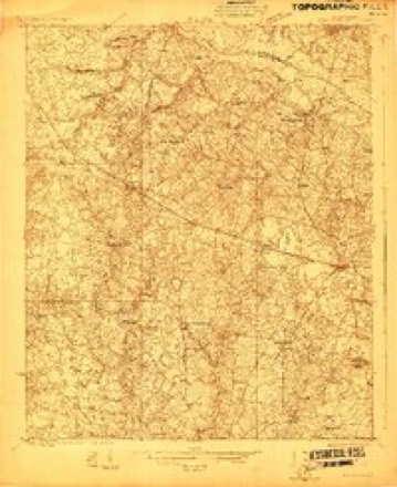
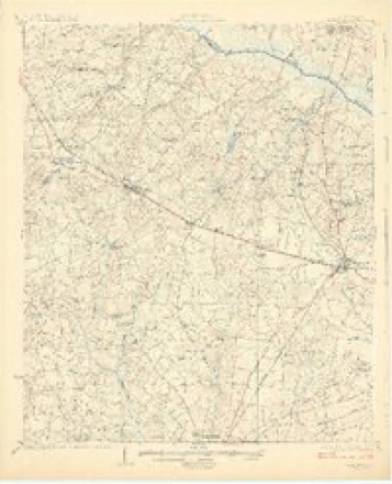
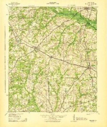
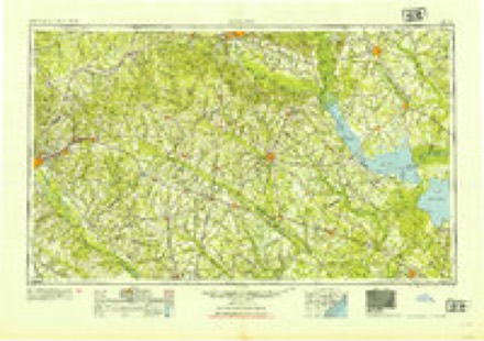
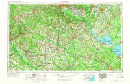
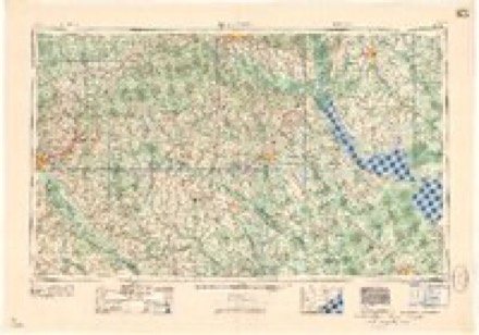
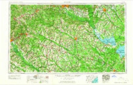
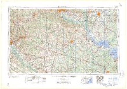
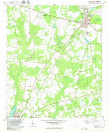
16 topographic sheets cover this place, the earliest surveyed in 1923 and the latest in 1982. It stands in the Blackville census division. It lies in ZIP code area 29817. The Survey maps it on the Blackville quadrangle.
Topographic sheets covering this place
10 surveys from 16 printed sheetsMatched by testing this settlement's coordinate against the published boundary of every sheet in the United States Geological Survey's historical collection. Each opens the scanned sheet at the Survey.
- 1923 USGS Williston quadrangle1:48000
- 1927 USGS Williston quadrangle1:62500, 2 printings
- 1943 USGS Williston quadrangle1:62500, 2 printings
- 1954 USGS Augusta quadrangle1:250000
- 1957 USGS Augusta quadrangle1:250000, 3 printings
- 1958 USGS Augusta quadrangle1:250000
- 1961 USGS Augusta quadrangle1:250000, 2 printings
- 1962 USGS Augusta quadrangle1:250000
- 1979 USGS Blackville quadrangle1:24000, 2 printings
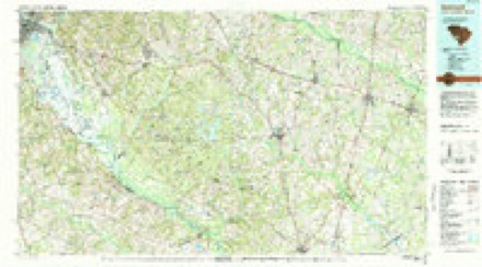
- 1982 USGS Barnwell quadrangle1:100000
Fires near this place
245 since 1992Regional context, not property-specific evidence. The federal wildfire occurrence database lists 245 fires within 5 miles of Ashleigh between 1992 and 2020, burning about 1,143 acres in total. 4 started naturally. 11 were recorded as arson. Distance is straight-line from the map coordinates, so a fire counted here may appear on a neighbouring settlement's page as well.
| Reported cause | Fires |
|---|---|
| Missing data/not specified/undetermined | 96 |
| Debris and open burning | 92 |
| Equipment and vehicle use | 25 |
| Arson/incendiarism | 11 |
| Misuse of fire by a minor | 9 |
| Smoking | 5 |
| Natural | 4 |
| Power generation/transmission/distribution | 2 |
| Recreation and ceremony | 1 |
The most recent of them, most recent first, with the day each was reported and the service that recorded it.
| Date | Cause | Size | Reported by | Name on the report |
|---|---|---|---|---|
| 7 September 1997 | Misuse of fire by a minor | under an acre | South Carolina Forestry Commission | not named |
| 7 September 1996 | Missing data/not specified/undetermined | under an acre | South Carolina Forestry Commission | not named |
| 5 September 2009 | Debris and open burning | 1.0 acres | South Carolina Forestry Commission | not named |
| 3 September 2017 | Debris and open burning | 7.0 acres | South Carolina Forestry Commission | not named |
| 29 September 1993 | Missing data/not specified/undetermined | under an acre | South Carolina Forestry Commission | not named |
| 28 September 2017 | Debris and open burning | 1.0 acres | South Carolina Forestry Commission | not named |
| 26 September 2019 | Smoking | under an acre | South Carolina Forestry Commission | not named |
| 25 September 2017 | Debris and open burning | under an acre | South Carolina Forestry Commission | not named |
Settlements close enough to share some of these fires:
Storms near this place
8 since 2013Regional context, not property-specific evidence. The National Weather Service names Ashleigh in 8 storm reports between 2013 and 2025: 5 thunderstorm wind, 3 tornado. The reports record 1 injury. Each account below is quoted exactly as the forecast office filed it, from the NOAA Storm Events Database, and each date opens the federal record of that event.
| When | Event | Place named | Harm | What the report says |
|---|---|---|---|---|
| January 2017 | Tornado (EF2) | Ashleigh | 1 hurt | The tornado initially touched down just west of Monarch Road in Barnwell County about 4.5 miles north of the town of Barnwell. It tracked to the ENE through Barnwell State Park, then across Highway 3, and Bufords Branch Road, just south of Blackville, then continued to the ENE and moved out of Barnwell County and into Bamberg County near US Hwy 78. Most of the damage observed along the path was rated EF0 or EF1, but the tornado did briefly strengthen into a weak EF2 as it crossed|through Barnwell State Park. Hundreds of hardwood and softwood trees were either snapped at the trunk or uprooted. Numerous trees fell on homes resulting in roof damage. Several structures were either heavily damaged or destroyed. The greatest structural damage occurred to a single wide mobile home along Highway 3 just SW of Blackville which rolled several times and had the floors separated from the undercarriage. The female resident of this home was trapped and sustained injuries. Other structures suffered extensive roof damage, including several chicken houses. |
| January 2015 | Thunderstorm Wind | Ashleigh | $4,000 | Public reported several trees down along SC6-169 between Hwy 37 and Hwy 3 which is between Barnwell and Blackville. |
| July 2013 | Thunderstorm Wind | Ashleigh | $2,000 | Highway Patrol reported trees dwon along Hwy 3 near Barnwell State Park. |
| May 2025 | Thunderstorm Wind | Ashleigh | - | SC highway patrol reported trees down along Ashleigh Road north of Barnwell. |
| April 2020 | Tornado (EF3) | Ashleigh | - | A tornado started just south of Blackville, SC east of Whitehall Drive near Toby Creek. The tornado damaged several chicken houses by causing the walls to collapse in a few places. The tornado then moved northeast crossing a large empty field, before intensifying as it approached a fiberglass coating facility near Lake Cynthia Road. The tornado collapsed a large segment of a 75 ft tall, 150 ft x 150 ft warehouse, with large steel support beams twisted. Thirty cylindrical containers weighing up to 20- 25 thousand pounds each lifted out of their u-shaped saddles and rolled throughout the facility. There was evidence of minimal tree damage east of Blackville but not enough damage to suggest the tornado track continued that far north. As a result, the tornado likely lifted prior to reaching Highway 3. The tornado path length was just under 1.5 miles and had a width of about 40 yards. The tornado was rated EF-3, with peak winds of 140 mph. |
| April 2020 | Tornado (EF1) | Ashleigh | - | A strong, long-track tornado began just south of the town of Elko in Barnwell Co SC, then moved in a general northeast direction through Orangeburg Co SC, where it reached EF-3 intensity and caused 2 fatalities. The tornado dissipated shortly after crossing into Calhoun Co SC southwest of St. Matthews before reaching I-26. ||While in Barnwell Co, the tornado was rated as EF-1. The tornado began near Orchard Rd and SC Hwy 37. Along its entire path, there was widespread tree damage. The tornado snapped 7 wood power poles near US Hwy 78 and Turkey Creek. The tornado strengthened as it approached SC Hwy 3 and Gardenia Rd, where it destroyed and tossed a wood framed home anchored to the ground, lifted a significant portion of a roof on a brick home, destroyed a fifth wheel camper, and knocked over a pivot irrigation system. The tornado continued moving to the NE and crossed into Orangeburg Co. |
| February 2017 | Thunderstorm Wind | Ashleigh | - | Trees were reported down, mainly in the vicinity of Reynolds Rd and Ashleigh Rd, about 5 miles SSE of Elko. |
| September 2014 | Thunderstorm Wind | Ashleigh | - | Barnwell Dispatch reported multiple trees and power lines down near the intersection of Highway 3 and Palimino Lane. |
Nearest settlements
The eight closest, with where each one stands in the county. Distances are straight-line, computed from the Geographic Names Information System coordinates.
| Map | Place | Distance | Sheets |
|---|---|---|---|
| Yale (historical) | 1.6 miles | 16 | |
| Farrells Mill | 3.2 miles | 16 | |
| Long Branch | 4.0 miles | 16 | |
| Hilda | 4.2 miles | 15 | |
| Barnwell | 4.4 miles | 16 | |
| Reynold | 4.6 miles | 16 | |
| Blackville | 4.7 miles | 16 | |
| Happy Bottom | 4.8 miles | 16 |
Provenance
This settlement is recorded in the Geographic Names Information System as feature 1220251. The sheet list is computed by point-in-boundary test against the United States Geological Survey's historical topographic inventory. Both are works of the United States government and carry no copyright under 17 U.S.C. 105.
Wildfire. Short, Karen C. 2022. Spatial wildfire occurrence data for the United States, 1992-2020 [FPA_FOD_20221014]. 6th Edition. Fort Collins, CO: Forest Service Research Data Archive. https://doi.org/10.2737/RDS-2013-0009.6 Collected with United States Government funding and usable without additional permissions or fees.
Storms. NOAA National Centers for Environmental Information, Storm Events Database https://www.ncei.noaa.gov/stormevents/ A work of the United States government, no copyright under 17 U.S.C. 105. Narratives are quoted verbatim from the National Weather Service report and are not edited or summarised.