 Block
From the record
6 National Register listings published here.
Sources: the National Register database, National Park Service
65 topographic sheets and 21 fire insurance atlases across 3 places.
6 National Register listings published here.
Sources: the National Register database, National Park Service
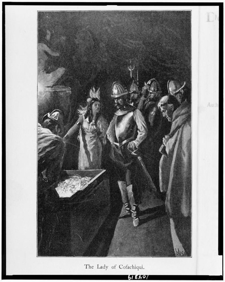
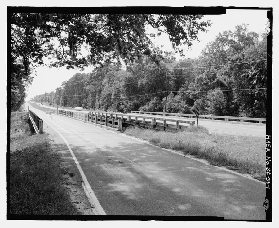
Taken for the Office of War Information and the Farm Security Administration, who photographed the country between 1935 and 1944. Works of United States government photographers, with no known restriction on use. Each opens its catalogue record.
Every property in this county listed on the National Register of Historic Places, with the year it was listed and the federal nomination document.
| Photograph | Property | Type | Listed | Reference |
|---|---|---|---|---|
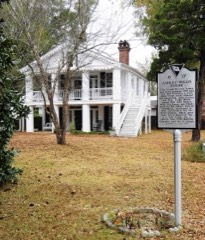 | Ashley-Willis House | building | 2004 | 04000650 |
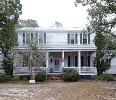 | Banksia Hall | building | 1974 | 74001821 |
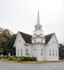 | Bethlehem Baptist Church | building | 1979 | 79002374 |
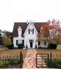 | Church of the Holy Apostles Rectory | building | 1972 | 72001189 |
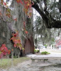 | Church of the Holy Apostles, Episcopal | building | 1972 | 72001188 |
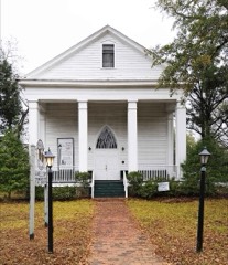 | Old Presbyterian Church | building | 1972 | 72001190 |
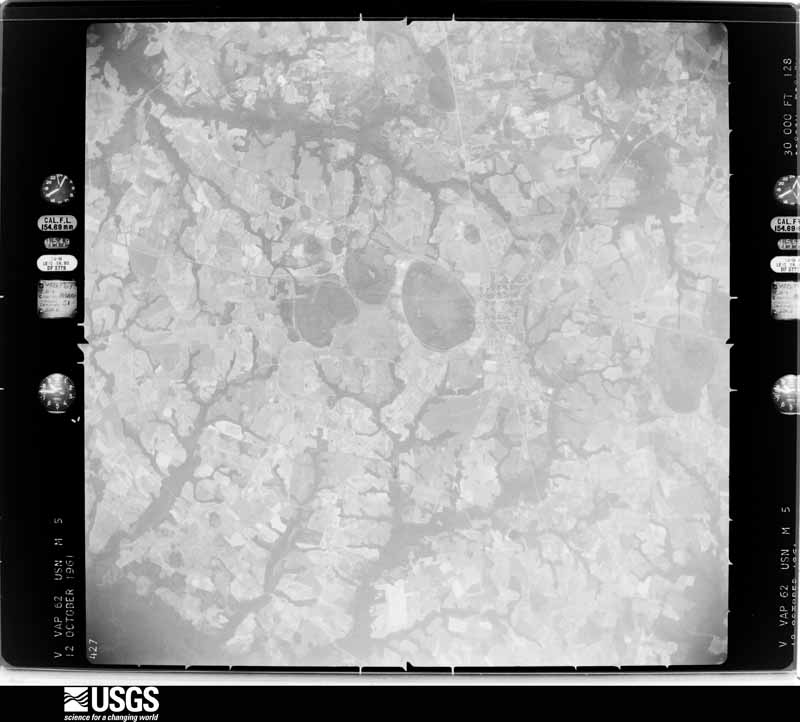
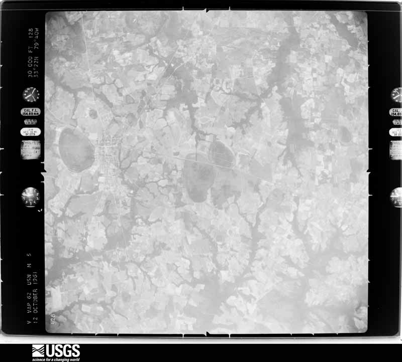
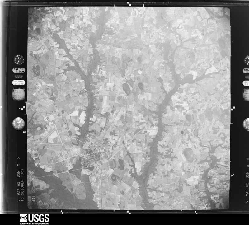
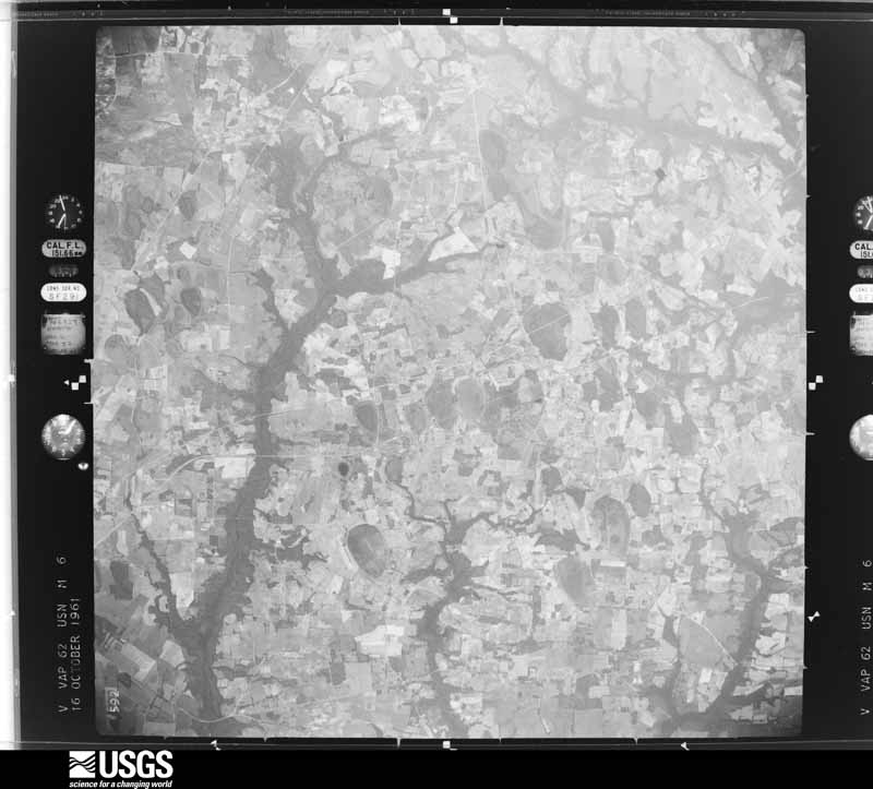
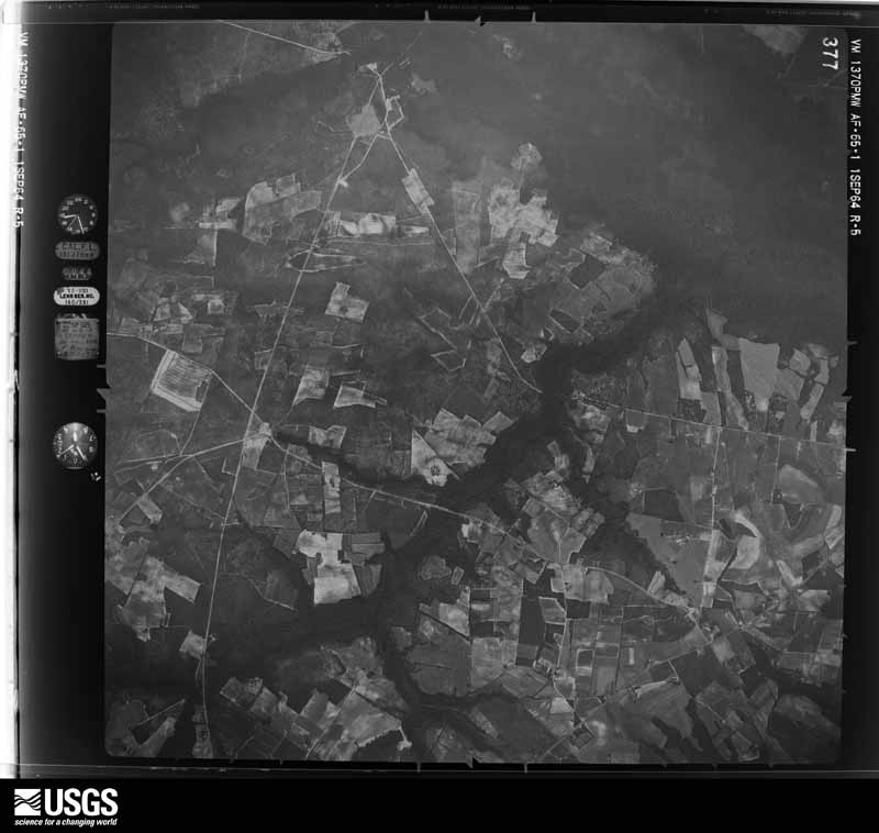
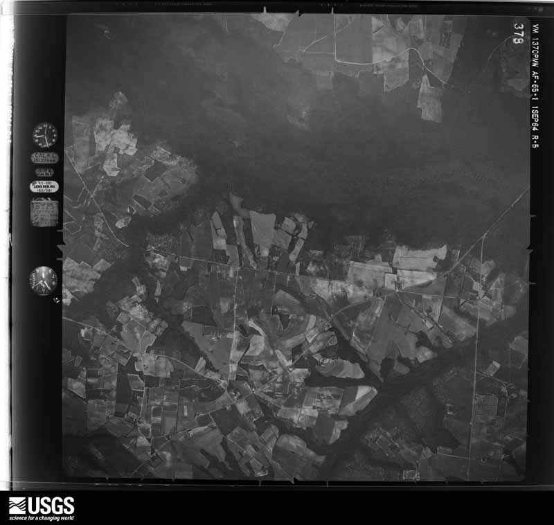
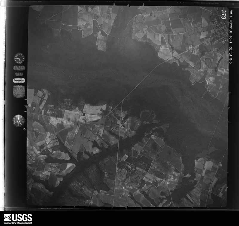
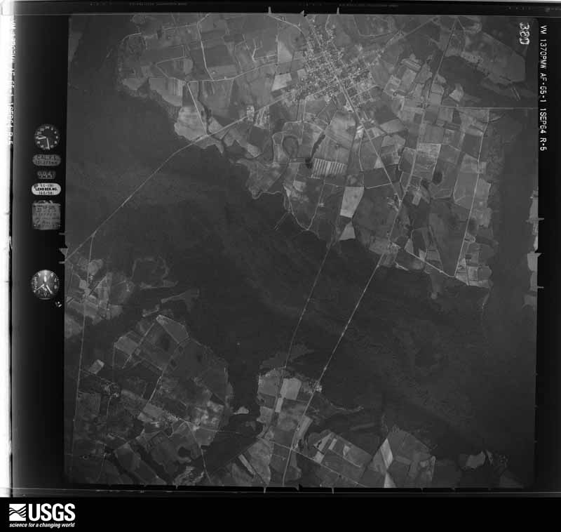
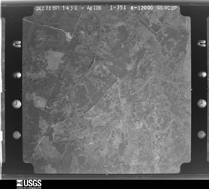
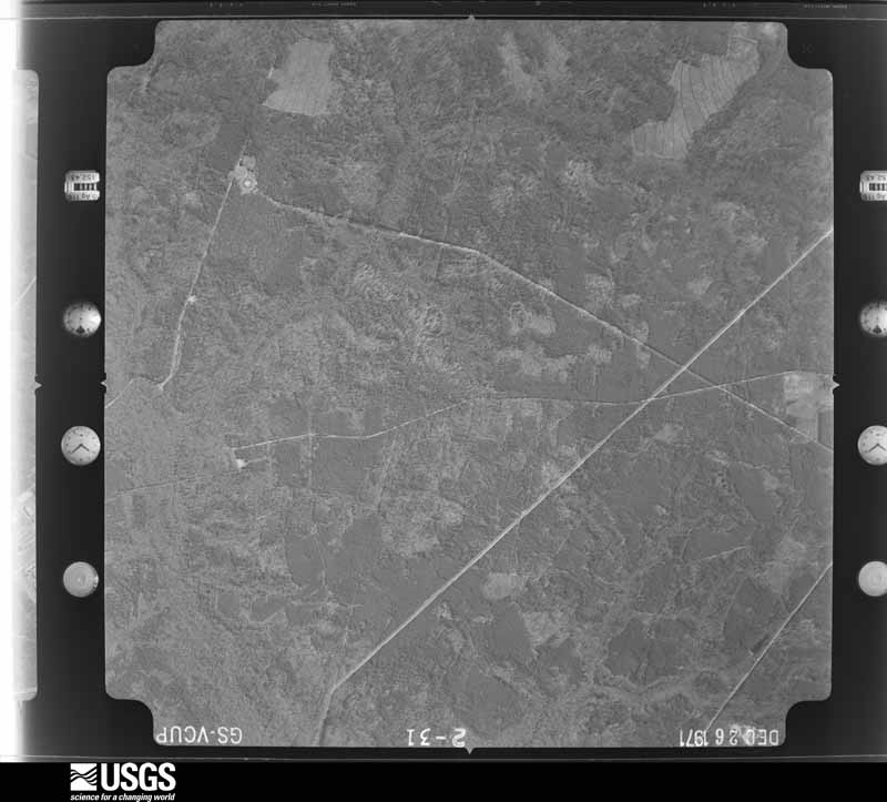
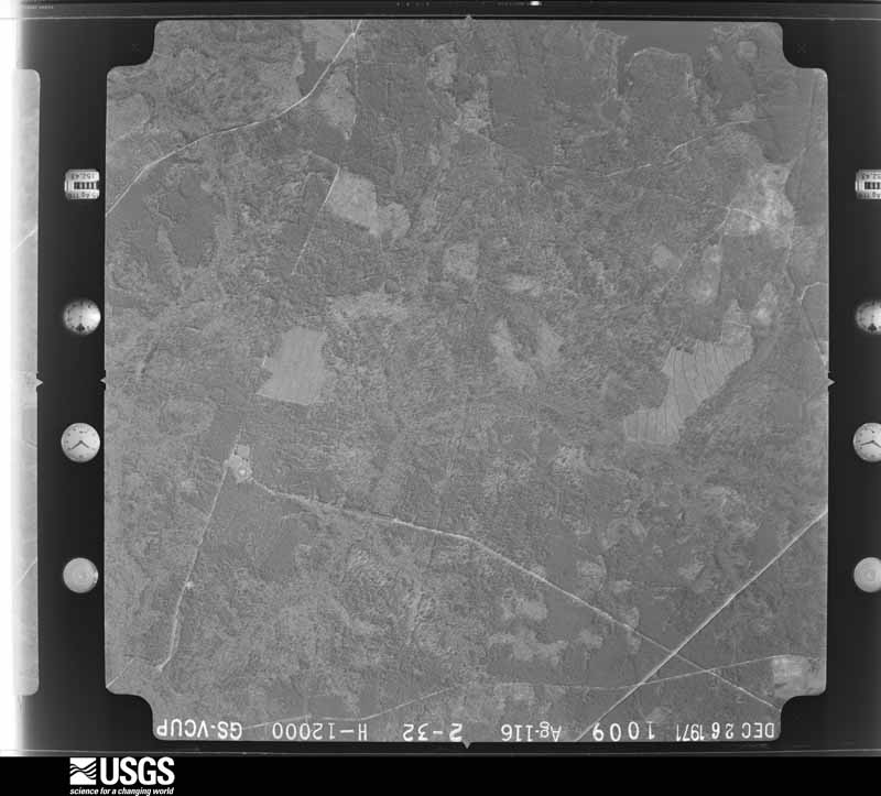
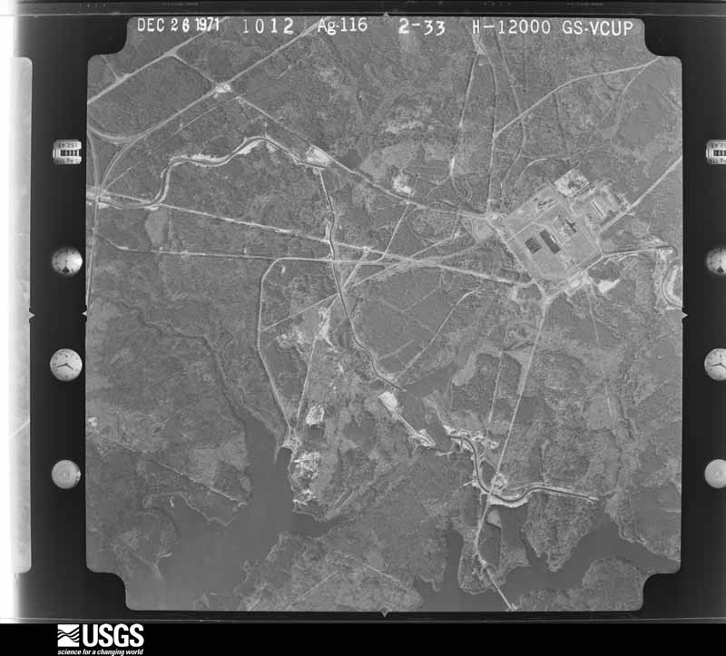
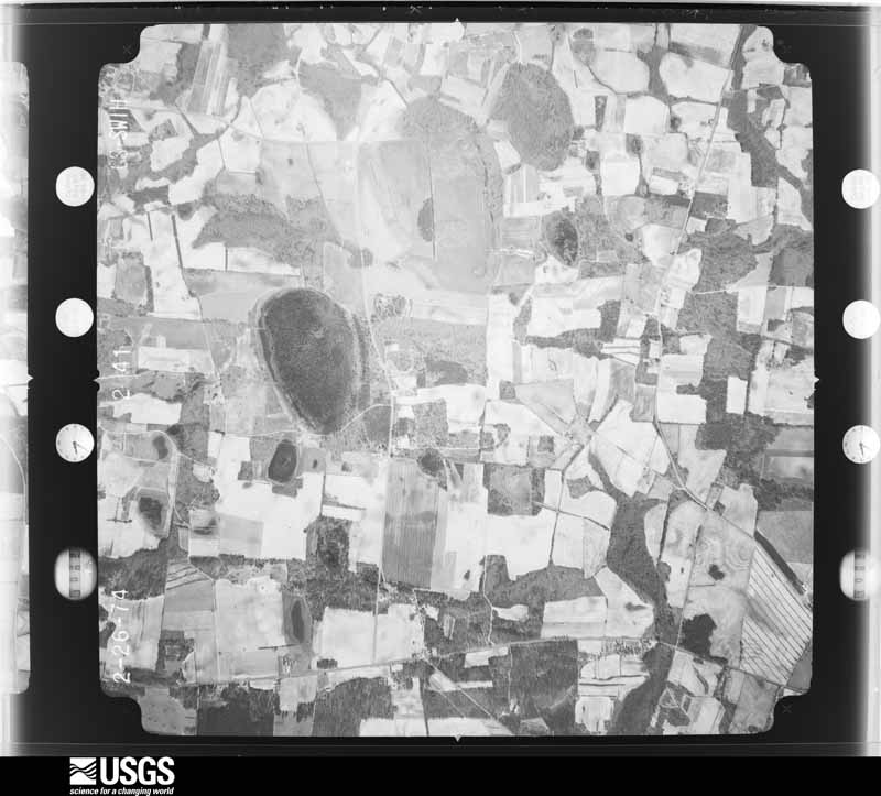
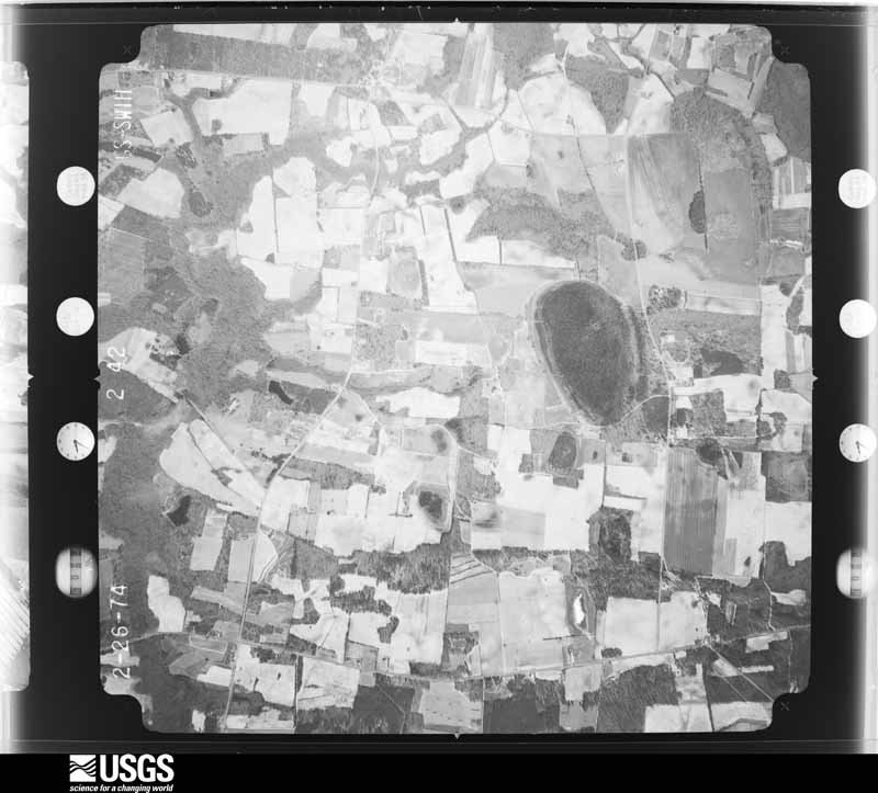
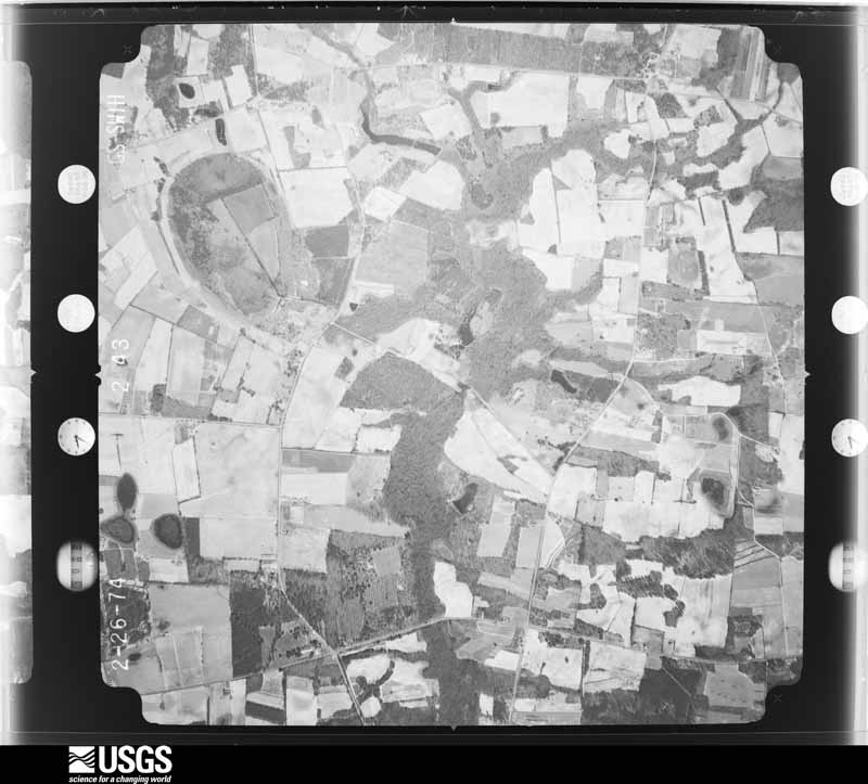
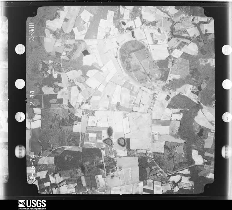
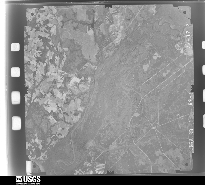
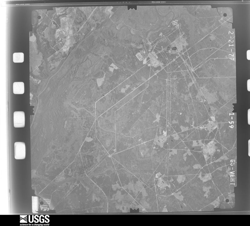
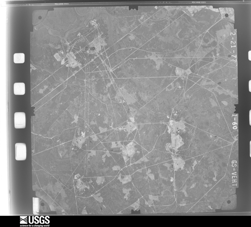
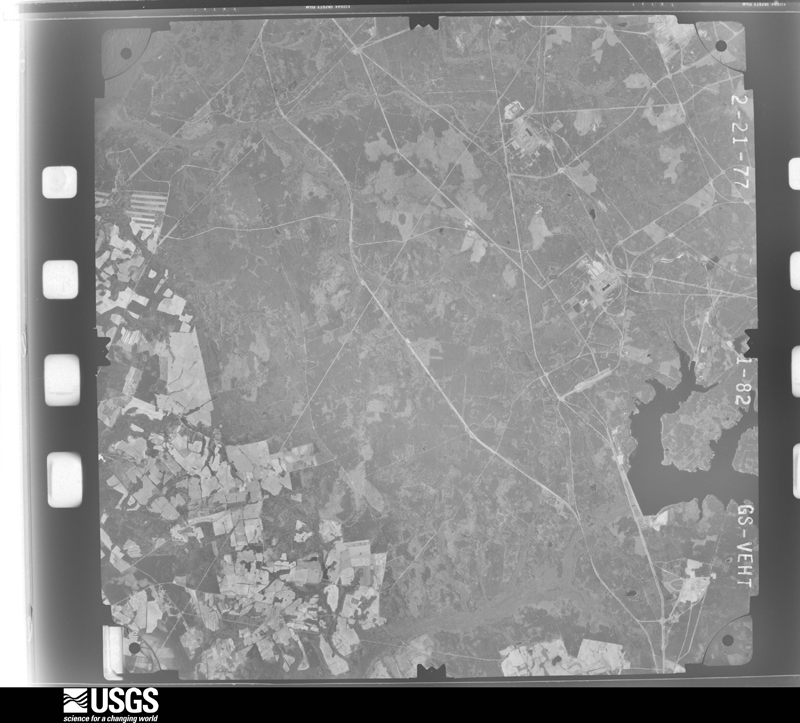
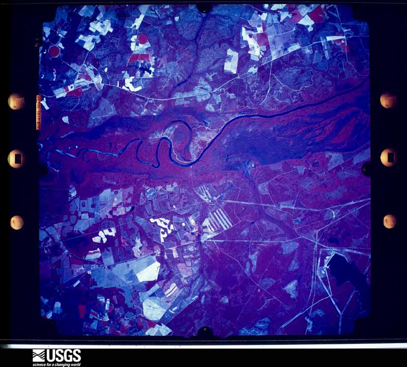
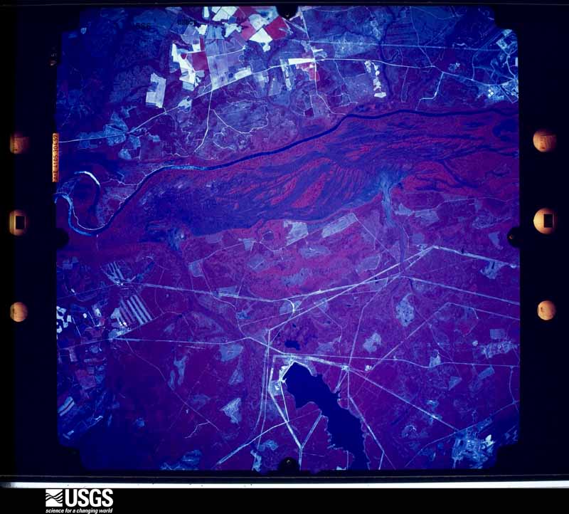
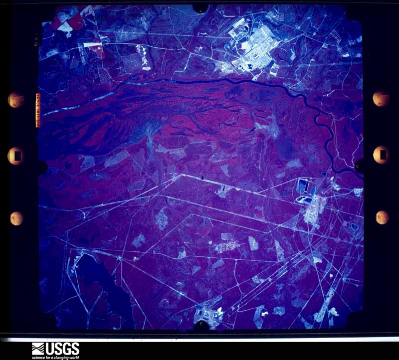
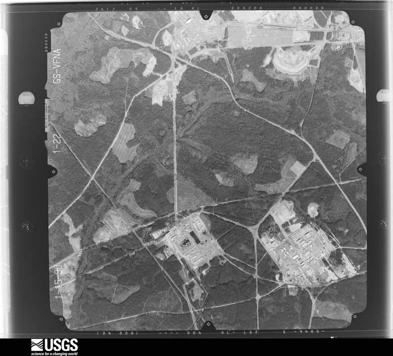
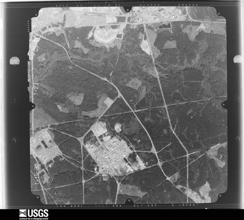
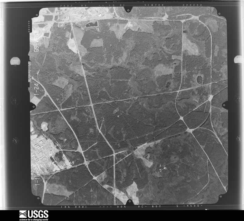
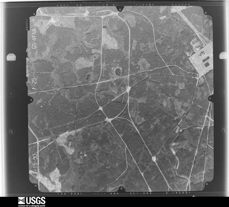
Flown by the U.S. Geological Survey between 1937 and 1989, the Aerial Photo Single Frames collection is the definitive mid-century view of the land: fields, roads and rivers as the camera saw them. The Survey holds 900 frames inside the rectangle that bounds this county; the 27 frames below were taken over the county itself, chosen across the decades of flights (at most four a year from that rectangle), so one flight cannot crowd out the rest. The full set is free to browse and download at EarthExplorer under the dataset Aerial Photo Single Frames.
The thermometers that kept this county's weather, and the gages that measured the flow of its streams, as the federal records hold them. The extremes below are measured values from those records, not estimates.
Who lived here in 1950, one enumeration district at a time, as the Census Bureau described each district. Each row opens its official National Archives result, with Population Schedules and ED Maps available there.
Every wildfire the federal occurrence database records inside this county: 1,110 of them, burning about 6,672 acres. 88 started naturally and 80 were recorded as arson. Each settlement page carries the fires within five miles of it.
| Reported cause | Fires |
|---|---|
| Missing data/not specified/undetermined | 356 |
| Debris and open burning | 337 |
| Equipment and vehicle use | 134 |
| Natural | 88 |
| Arson/incendiarism | 80 |
| Misuse of fire by a minor | 48 |
| Smoking | 25 |
| Power generation/transmission/distribution | 19 |
| Railroad operations and maintenance | 11 |
| Other causes | 4 |
| Fireworks | 3 |
| Firearms and explosives use | 3 |
| Recreation and ceremony | 2 |
The five largest, by the area the report gives. One of them was set deliberately.
| Date | Cause | Size | Reported by | Name on the report |
|---|---|---|---|---|
| 16 February 2002 | Missing data/not specified/undetermined | 300 acres | Savannah River Forest | SNELLING |
| 23 May 1999 | Natural | 231 acres | Savannah River Forest | SNELLING |
| 24 March 2011 | Debris and open burning | 183 acres | South Carolina Forestry Commission | TIMPLETON CREECH |
| 9 February 1996 | Missing data/not specified/undetermined | 170 acres | South Carolina Forestry Commission | not named |
| 15 August 2015 | Power generation/transmission/distribution | 147 acres | South Carolina Forestry Commission | not named |
| 8 May 2018 | Debris and open burning | 134 acres | South Carolina Forestry Commission | not named |
| 15 February 2016 | Debris and open burning | 125 acres | South Carolina Forestry Commission | not named |
| 14 March 2018 | Arson/incendiarism | 82 acres | South Carolina Forestry Commission | not named |
Every settlement page carries the fires within five miles of it - see the settlement index below.
The NOAA Storm Events Database holds 310 reports for this county, causing no deaths, 22 injuries and about $13,516,280 in recorded property damage. Each settlement page carries the reports that name it.
| Kind of event | Reports |
|---|---|
| Thunderstorm Wind | 201 |
| Hail | 67 |
| Tornado | 25 |
| Flash Flood | 6 |
| Lightning | 6 |
| Flood | 3 |
| Heavy Rain | 2 |
The most serious of them, by death, then injury, then recorded damage. The accounts are quoted exactly as the forecast office filed them.
| When | Event | Place named | Harm | What the report says |
|---|---|---|---|---|
| May 1989 | Tornado (F2) | not stated | 12 hurt, $2,500,000 | no account filed |
| February 1975 | Tornado (F2) | not stated | 5 hurt, $250,000 | no account filed |
| April 1983 | Tornado (F3) | not stated | 2 hurt, $2,500,000 | no account filed |
| January 2017 | Tornado (EF2) | Ashleigh | 1 hurt | The tornado initially touched down just west of Monarch Road in Barnwell County about 4.5 miles north of the town of Barnwell. It tracked to the ENE through Barnwell State Park, then across Highway 3, and Bufords Branch Road, just south of Blackville, then continued to the ENE and moved out of Barnwell County and into Bamberg County near US Hwy 78. Most of the damage observed along the path was rated EF0 or EF1, but the tornado did briefly strengthen into a weak EF2 as it crossed|through Barnwell State Park. Hundreds of hardwood and softwood trees were either snapped at the trunk or uprooted. Numerous trees fell on homes resulting in roof damage. Several structures were either heavily damaged or destroyed. The greatest structural damage occurred to a single wide mobile home along Highway 3 just SW of Blackville which rolled several times and had the floors separated from the undercarriage. The female resident of this home was trapped and sustained injuries. Other structures suffered extensive roof damage, including several chicken houses. |
| August 2005 | Lightning | Barnwell | 1 hurt | Emergency Manager reported one person was injured by lightning. |
| June 2000 | Thunderstorm Wind | Blackville | 1 hurt | EOC reported trees down on homes. |
| October 1989 | Tornado (F2) | not stated | $2,500,000 | no account filed |
| January 1972 | Tornado (F1) | not stated | $2,500,000 | no account filed |
| August 2023 | Lightning | Barnwell | $2,000,000 | Hagood Avenue Baptist Church in the town of Barnwell was struck by lightning and caught fire. The fire caused extensive damage to the church. |
| June 1995 | Thunderstorm Wind | Barnwell | $500,000 | Trees and powerlines down in Barnwell. |
| June 1952 | Tornado (F1) | not stated | $250,000 | no account filed |
| April 2011 | Lightning | Barnwell | $80,000 | The People-Sentinel reported a home was destroyed by fire that was started by a lightning strike. |
| June 1995 | Thunderstorm Wind | Barnwell | $50,000 | Winds blew down many trees and powerlines throughout county. |
| April 2011 | Thunderstorm Wind | Blackville | $46,000 | Sheriff reported numerous trees down in the towns of Blackville and Barnwell. Some trees fell through an outbuilding and into a garage apartment on Hagood Ave. in Barnwell. |
| February 2003 | Lightning | Blackville | $30,000 | A mobile home was destroyed by a fire started by a lightning strike. |
| June 2007 | Thunderstorm Wind | Barnwell | $25,000 | Emergency Manager reported an intense microburst destroyed a 40'X 60' building, took down many trees (one split a home), took siding off a few homes, and twisted metal fences. |
| May 1973 | Tornado (F1) | not stated | $25,000 | no account filed |
| June 2010 | Thunderstorm Wind | Blackville | $18,000 | Edisto Electric reported powerlines down across much of northern Barnwell county. |
| May 1998 | Thunderstorm Wind | Blackville | $15,000 | Police report tree down on car. Many other large branches down in area. |
| June 2015 | Thunderstorm Wind | Williston | $12,000 | Williston City Police had multiple reports of trees and powerlines down including Janet Street. Dime size hail also occurred. |
| July 2012 | Thunderstorm Wind | Barnwell Co Arpt | $12,000 | Sheriff reported trees and powerlines down at the Barnwell County Airport. |
| April 2011 | Thunderstorm Wind | Snelling | $12,000 | Sheriff reported numerous trees down in the Snelling area. |
| August 2009 | Thunderstorm Wind | Snelling | $10,000 | Savannah River Site reported a measured wind gust to 73 mph with numerous trees down on site. |
| March 2013 | Thunderstorm Wind | Snelling | $8,000 | DOT reported trees down in the Snelling area. |
| June 2011 | Thunderstorm Wind | Barnwell | $8,000 | Sheriff reported trees and powerlines down in the Barnwell area along with street flooding. |
| June 2010 | Thunderstorm Wind | Hilda | $8,000 | Sheriff reported large trees down on November and Hartzog roads. |
| September 2000 | Thunderstorm Wind | Williston | $7,000 | Sheriff reported trees down in Williston, one fell onto a liquor store. |
| November 2011 | Thunderstorm Wind | Barnwell | $6,000 | Sheriff reported trees down in the Barnwell area. |
| November 2011 | Thunderstorm Wind | Hilda | $6,000 | Sheriff reported trees down in the Hilda area. |
| November 2011 | Thunderstorm Wind | Blackville | $6,000 | Sheriff reported trees down in the Blackville area. |
| August 2007 | Thunderstorm Wind | Barnwell | $6,000 | Emergency Manager reported 2 mobile homes were moved off their foundations and had minor damage to them. A few trees and numerous large branches were also down. |
| June 2010 | Thunderstorm Wind | Barnwell | $5,000 | Sheriff reported a couple of trees down from Hwy 3 and Pineneedle road to near Galilee and South Toby Creek roads. |
| January 2015 | Thunderstorm Wind | Ashleigh | $4,000 | Public reported several trees down along SC6-169 between Hwy 37 and Hwy 3 which is between Barnwell and Blackville. |
| November 2014 | Thunderstorm Wind | Robbins | $4,000 | Local law enforcement reported trees down on the Savannah River Site on State Road 125 near the Allendale county line. |
| July 2013 | Thunderstorm Wind | Elko | $4,000 | Sheriff reported trees down on Ferrells Mill Road. |
| August 2013 | Thunderstorm Wind | Williston | $4,000 | Utility Company reported some outages due to large limbs on lines near the town of Williston. |
| January 2013 | Thunderstorm Wind | Barnwell | $4,000 | Sheriff reported a few trees down southwest of Barnwell. |
| July 2012 | Thunderstorm Wind | Snelling | $4,000 | EM reported trees down on Seven Pines Road 1/2 mile north of Hwy 64. |
| July 2010 | Thunderstorm Wind | Blackville | $4,000 | DOT reported trees down near Blackville on secondary roads. |
| July 2010 | Thunderstorm Wind | Robbins | $4,000 | Savannah River Site reported trees down on the east side of the facility just southwest of Hwy 125. |
| May 2009 | Flash Flood | Blackville | $4,000 | Sheriff reported flooding on several roads in and around Blackville with 1 to 3 feet of water. |
| April 2015 | Thunderstorm Wind | Barnwell | $3,000 | DOT reported several trees down between Barnwell and Williston. |
| July 2015 | Thunderstorm Wind | Healing Spgs | $3,000 | SKYWARN spotter reported several trees down along Gardenia Road. |
| June 2013 | Thunderstorm Wind | Lyndhurst | $3,000 | The County Dispatch reported trees down on Kingfisher Road. |
| June 2013 | Thunderstorm Wind | Yenome | $3,000 | The County Dispatch reported trees down along Hwy 3 near Red Oak Road. |
| June 2013 | Thunderstorm Wind | Kline | $3,000 | The County Dispatch reported trees down along Poplar Road near Hwy 278. |
| July 2013 | Flash Flood | Kline | $3,000 | County Dispatch reported flooding at the intersection of Equire Road and Big Fork Road and also on Hwy 278 flooded near the Allendale County line just south of Kline. |
| June 2013 | Thunderstorm Wind | Williston | $3,000 | Augusta TV station reported trees down in Williston. |
| August 2012 | Thunderstorm Wind | Healing Spgs | $3,000 | Sheriff reported trees down near the intersection of Ebenezer and Healing Springs Road. |
| August 2012 | Thunderstorm Wind | Robbins | $3,000 | SRS dispatch reported trees down on SC Hwy 125 and on Savannah River Site Road F. |
| June 2010 | Thunderstorm Wind | Blackville | $3,000 | Sheriff reported a couple of trees down in Blackville. |
| July 2010 | Thunderstorm Wind | Williston | $3,000 | Savannah River Site reported trees down near the Williston barricade. |
| June 2010 | Thunderstorm Wind | Healing Spgs | $3,000 | DOT reported several trees down on Jones Bridge road. |
| April 1999 | Tornado (F1) | Williston | $3,000 | KC4JMV and damage survey confirmed an F1 tornado took down numerous trees and powerlines along a 2 mile path. Minor damage was also done to a home. |
| April 1999 | Tornado (F0) | Hilda | $3,000 | An F0 touched down on the east side of Hilda and damaged a small farm. One shed was destroyed, some equipment, and a few trees were down. |
| May 1995 | Hail | Snelling | $3,000 | ,,,,,,,,Thunderstorm Winds Trees blown down by thunderstorm winds |
| July 2015 | Thunderstorm Wind | Elko | $2,000 | Highway Patrol reported trees down at Williston Way and Deering Road. |
| August 2015 | Thunderstorm Wind | Snelling | $2,000 | Dispatch reported powerlines down in Snelling. |
| April 2015 | Thunderstorm Wind | Yenome | $2,000 | Sheriff reported trees down on Hwy 300 and Annie Laurie Drive. |
| July 2013 | Thunderstorm Wind | Ashleigh | $2,000 | Highway Patrol reported trees dwon along Hwy 3 near Barnwell State Park. |
The Survey's mineral resources record lists 1 working inside this county. It is closed or unrecorded. Each settlement page carries the workings within five miles of it.
| Commodity | Workings |
|---|---|
| Sand and Gravel, Construction | 1 |
The least common of them first, because a county's hundredth gravel pit says nothing its first ten did not.
| Where | Site | Commodity | Status | Recorded |
|---|---|---|---|---|
| Kennedy Pit | Sand and Gravel, Construction | Past Producer |
Named settlements recorded in the Geographic Names Information System, each with the topographic sheets covering it. Villages, hamlets and abandoned places alike. Each is shown with the nearest named watercourse or landform and the survey quadrangle it falls on. The 3 places that were also surveyed for fire insurance come first, with the number of atlases and photographs held for them.
Barnwell census division · 29812 · On Barnwell Hill · Barnwell quadrangle
16 sheets, 1919 to 1982
Fire insurance: 7 atlases
Blackville census division · 29817 · Blackville quadrangle
16 sheets, 1923 to 1982
Fire insurance: 8 atlases
Williston census division · 29853 · Williston quadrangle
16 sheets, 1923 to 1982
Fire insurance: 6 atlases
Kline-Snelling census division · Girard NW quadrangle
18 sheets, 1920 to 1982
No longer a settlement
Kline-Snelling census division · 29812 · Snelling quadrangle
16 sheets, 1919 to 1982
Kline-Snelling census division · Girard NE quadrangle
17 sheets, 1920 to 1982
No longer a settlement
Kline-Snelling census division · 29836 · Girard NE quadrangle
17 sheets, 1920 to 1982
No longer a settlement
Kline-Snelling census division · Shell Bluff Landing quadrangle
17 sheets, 1920 to 1982
No longer a settlement
Williston census division · 29853 · On Shrub Branch · Blackville quadrangle
16 sheets, 1923 to 1982
Kline-Snelling census division · New Ellenton SE quadrangle
18 sheets, 1920 to 1982
No longer a settlement
Barnwell census division · 29812 · On Jordan Branch · Barnwell quadrangle
16 sheets, 1919 to 1982
Barnwell census division · 29812 · Near Barnwell Hill · Barnwell quadrangle
16 sheets, 1919 to 1982
Kline-Snelling census division · 29836 · On Pen Branch · Millett quadrangle
16 sheets, 1920 to 1982
Blackville census division · 29817 · On Sheepford Branch · Springfield quadrangle
15 sheets, 1923 to 1982
Barnwell census division · 29812 · Near Barnwell Hill · Barnwell quadrangle
16 sheets, 1919 to 1982
Kline-Snelling census division · Girard NW quadrangle
18 sheets, 1920 to 1982
No longer a settlement
Kline-Snelling census division · 29812 · Snelling quadrangle
16 sheets, 1919 to 1982
Kline-Snelling census division · 29812 · On Big Branch · Snelling quadrangle
16 sheets, 1919 to 1982
Kline-Snelling census division · On Meyers Branch · Girard NW quadrangle
18 sheets, 1920 to 1982
No longer a settlement
Blackville census division · 29817 · Denmark quadrangle
15 sheets, 1919 to 1982
No longer a settlement
Barnwell census division · 29817 · Blackville quadrangle
16 sheets, 1923 to 1982
No longer a settlement
Kline-Snelling census division · 29812 · On Riley Mill Branch · Barnwell quadrangle
16 sheets, 1919 to 1982
The vanished settlements of Barnwell County: the places named above that are no longer on the map.
16 topographic sheets and 8 fire insurance atlases, 1890 to 1943
16 topographic sheets and 7 fire insurance atlases, 1891 to 1943
The complete index, with nothing left out. Each of these is a separate record with its own page: a federal survey report, or the case file that argued a property on to the National Register. Both are public domain and reproduced word for word.
The vanished settlements of Barnwell County, the places these records name that are no longer on the map.