 Block
Beaufort, South Carolina
19 topographic sheets cover this place, the earliest surveyed in 1944 and the latest in 1998. It stands in the Beaufort-Port Royal census division. It lies in ZIP code area 29902. It sits by Barnwell Bluff. The Survey maps it on the Beaufort quadrangle. 13,607 people lived here at the 2020 count. It stands 10 feet above sea level.
Research this city
On record in Beaufort
Buildings and businesses the archive holds for this place. Each opens its own page, with the source record it came from.
On the National Register 12 of 15 shown
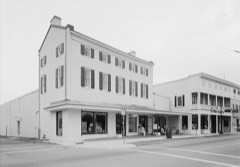 1313 Congress St, Beaufort Historic DistrictNational Historic Landmark · listed 1969
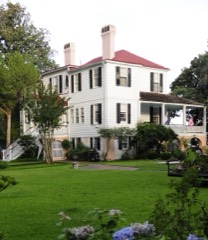 MarshlandsNational Historic Landmark · listed 1973
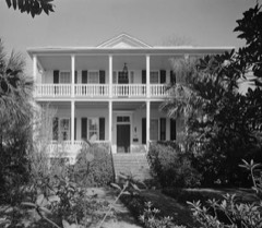 Robert Smalls HouseNational Historic Landmark · listed 1974
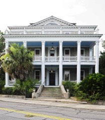 Anchorage, Thelisted 1971
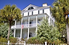 William Barnwell Houselisted 1971
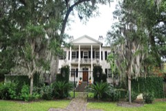 Barnwell-Gough Houselisted 1972
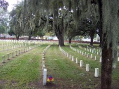 Beaufort National Cemeterylisted 1997
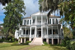 John A. Cuthbert Houselisted 1972
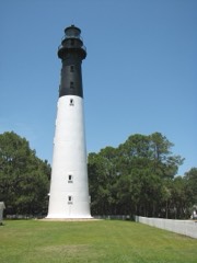 Hunting Island State Park Lighthouselisted 1970
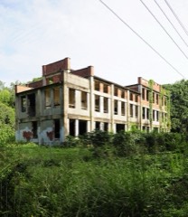 Seacoast Packing Companylisted 2008
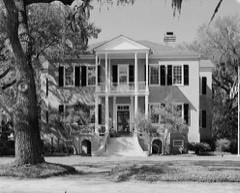 Tabby Manselisted 1971
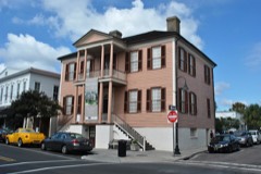 John Mark Verdier Houselisted 1971
Every listing in Beaufort County
Surveyed buildings and structures 12 of 50 shown
- Beaufort Baptist Church, 600 Charles Street, Beaufortfederal building survey, 17 photographs
- Beaufort National Cemetery, 1601 Boundary Street, Beaufortfederal building survey, 1 photograph
- Beaufort National Cemetery, Lodge, 1601 Boundary Street, Beaufortfederal building survey, 1 photograph
- Beaufort National Cemetery, Wall, 1601 Boundary Street, Beaufortfederal building survey, 16 photographs
- Beaufort Volunteer Artillery, 713 Craven Street, Beaufortfederal building survey, 5 photographs
- Berners Barnwell Sams House, 201 Laurens Street, Beaufortfederal building survey, 21 photographs
- Berners Barnwell Sams House, Dependencies, 201 Laurens Street, Beaufortfederal building survey, 5 photographs
- Cassena (House), 315 Federal Street, Beaufortfederal building survey, 11 photographs
- Colonel Edward Means House, 604 Pinckney Street, Beaufortfederal building survey, 23 photographs
- Dr. Joseph Johnson House, 411 Craven Street, Beaufortfederal building survey, 17 photographs
- Elizabeth Barnwell Gough House, 705 Washington Street, Beaufortfederal building survey, 22 photographs
- Elliot House, 1103 Bay Street, Beaufortfederal building survey, 3 photographs
Population over time
2 figuresBeaufort grew from 12,361 to 13,607 between 2010 and 2020. These are the recorded population figures Wikidata holds for this place, reached through the Geographic Names Information System number this page is keyed on rather than by name, so they belong to this place and not to another of the same name. Most are census counts, but not all are: an early figure may be a founding or settlement estimate, and an estimate published within five years of a census is left out. The change column is computed, and is left blank where more than 20 years separate a figure from the one before it, because a gap that long is not a change between two counts.
| Year | People | Change |
|---|---|---|
| 2010 | 12,361 | |
| 2020 | 13,607 | +1,246 (+10%) |
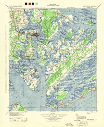
Topographic sheets covering this place
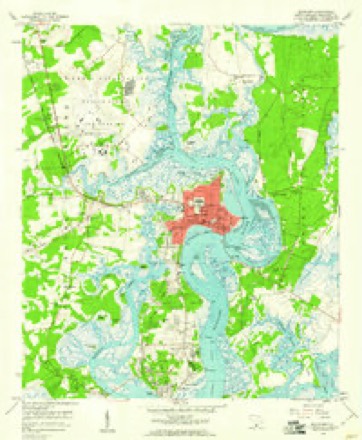
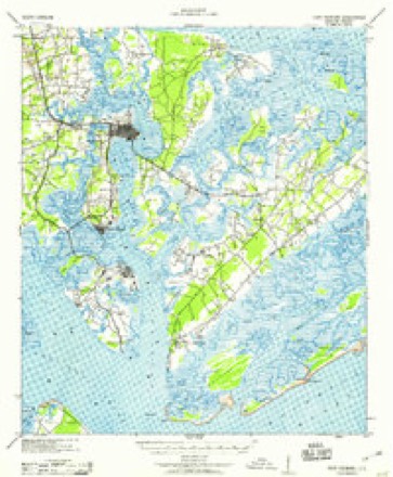
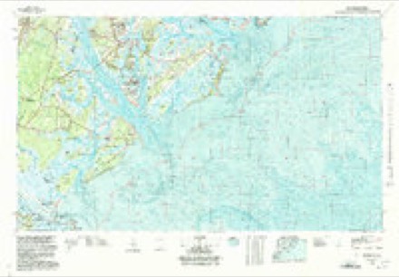
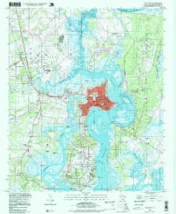
10 surveys from 19 printed sheetsMatched by testing this settlement's coordinate against the published boundary of every sheet in the United States Geological Survey's historical collection. Each opens the scanned sheet at the Survey.
- 1944 USGS Fort Fremont quadrangle1:62500
- 1947 USGS Savannah quadrangle1:250000
- 1948 USGS Savannah quadrangle1:250000
- 1957 USGS Savannah quadrangle1:250000, 4 printings
- 1958 USGS Beaufort quadrangle1:24000, 5 printings
- 1959 USGS Fort Fremont quadrangle1:62500
- 1960 USGS Savannah quadrangle1:250000
- 1961 USGS Savannah quadrangle1:250000, 2 printings
- 1978 USGS Beaufort quadrangle1:100000, 2 printings
- 1998 USGS Beaufort quadrangle1:24000
Photographs
8 of 14 photographs shown, 1938 to 2017Taken for the Office of War Information and the Farm Security Administration, who photographed the country between 1935 and 1944. Works of United States government photographers, with no known restriction on use. Each opens its catalogue record.
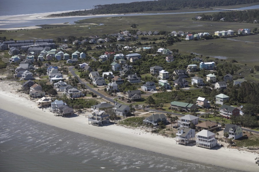
Highsmith, Carol M, 2017. Library of Congress
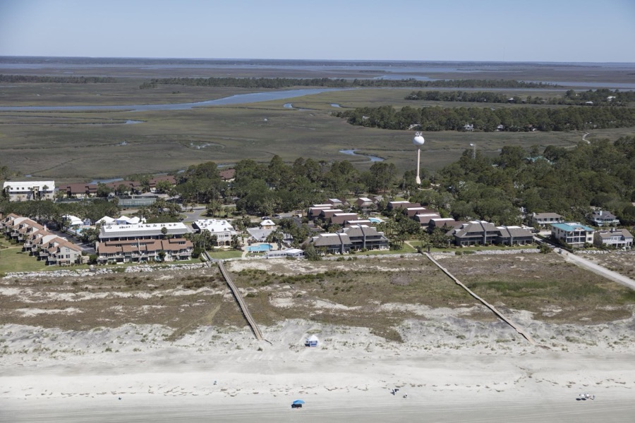
Highsmith, Carol M, 2017. Library of Congress
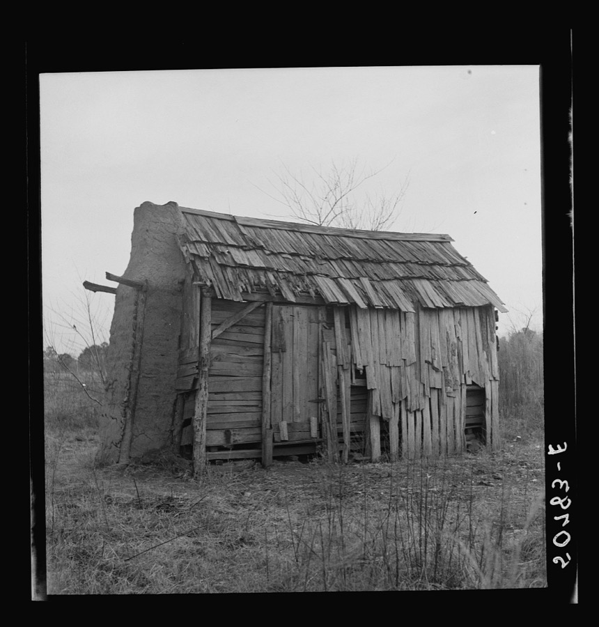
Wolcott, Marion Post, 1938. Library of Congress
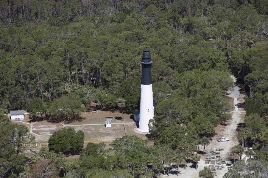
Highsmith, Carol M, 2017. Library of Congress
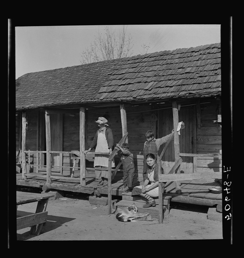
Wolcott, Marion Post, 1938. Library of Congress
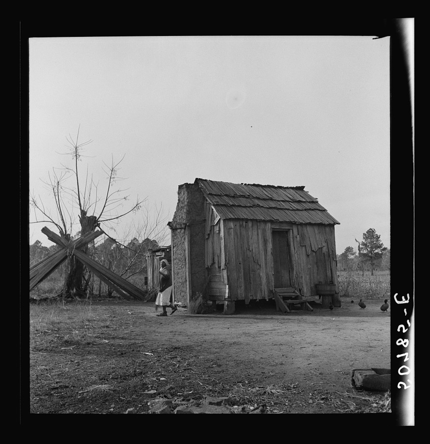
Wolcott, Marion Post, 1938. Library of Congress
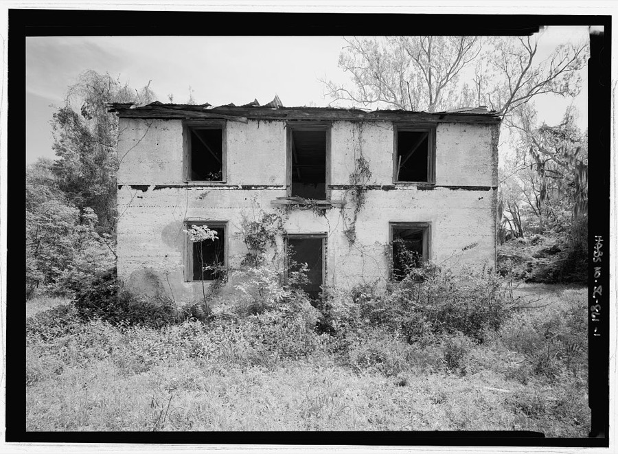
Photographer not recorded. Library of Congress
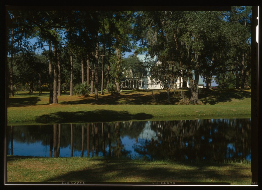
Photographer not recorded. Library of Congress
Every photograph of Beaufort County
Fires near this place
105 since 1992Regional context, not property-specific evidence. The federal wildfire occurrence database lists 105 fires within 5 miles of Beaufort between 1992 and 2019, burning about 376 acres in total. None started naturally. 23 were recorded as arson. Distance is straight-line from the map coordinates, so a fire counted here may appear on a neighbouring settlement's page as well.
| Reported cause | Fires |
|---|---|
| Debris and open burning | 42 |
| Arson/incendiarism | 23 |
| Missing data/not specified/undetermined | 21 |
| Misuse of fire by a minor | 14 |
| Recreation and ceremony | 2 |
| Equipment and vehicle use | 2 |
| Fireworks | 1 |
The most recent of them, most recent first, with the day each was reported and the service that recorded it.
| Date | Cause | Size | Reported by | Name on the report |
|---|---|---|---|---|
| 6 September 1997 | Arson/incendiarism | under an acre | South Carolina Forestry Commission | not named |
| 6 August 1993 | Missing data/not specified/undetermined | under an acre | South Carolina Forestry Commission | not named |
| 5 August 2008 | Debris and open burning | under an acre | South Carolina Forestry Commission | not named |
| 20 August 2007 | Debris and open burning | under an acre | South Carolina Forestry Commission | not named |
| 2 August 2001 | Debris and open burning | 8.0 acres | South Carolina Forestry Commission | not named |
| 14 August 2000 | Debris and open burning | 1.0 acres | South Carolina Forestry Commission | not named |
| 5 July 1993 | Missing data/not specified/undetermined | 1.0 acres | South Carolina Forestry Commission | not named |
| 3 July 1996 | Missing data/not specified/undetermined | 1.0 acres | South Carolina Forestry Commission | not named |
Settlements close enough to share some of these fires:
Storms near this place
60 of 110 shownRegional context, not property-specific evidence. The National Weather Service names Beaufort in 110 storm reports between 1994 and 2025: 74 thunderstorm wind, 19 hail, 8 lightning, 6 flash flood. The reports record 1 injury. Each account below is quoted exactly as the forecast office filed it, from the NOAA Storm Events Database, and each date opens the federal record of that event.
| When | Event | Place named | Harm | What the report says |
|---|---|---|---|---|
| August 1999 | Lightning | Beaufort | 1 hurt | Lightning injured a man on Lady's Island. |
| August 2008 | Thunderstorm Wind | Beaufort | $100,000 | The Beaufort County 911 Dispatch center reported numerous trees and power lines down across the county. Two trees were reported down on vehicles and three trees were reported down on homes. Two boats also sank in the Broad River when strong thunderstorm winds caused them to capsize. |
| September 1996 | Lightning | Beaufort | $35,000 | no account filed |
| May 1997 | Thunderstorm Wind | Beaufort | $25,000 | A house was damaged on Harbour Island and several trees down. |
| August 2008 | Thunderstorm Wind | Beaufort | $20,000 | A large tree was reported down on a car at a car dealership off Highway 21 in Beaufort, South Carolina. The top of the car was crushed. |
| July 2008 | Thunderstorm Wind | Beaufort | $10,000 | A large tree was reported down on an unoccupied home near the intersection of Lafayette Street and Spectable Street in Beaufort, South Carolina. |
| August 1999 | Lightning | Beaufort | $10,000 | Lightning strike resulted in a fire on Lady's Island. |
| March 2008 | Lightning | Beaufort | $5,000 | Law Enforcement reported a house on fire due to a lightning strike. |
| May 2006 | Thunderstorm Wind | Beaufort | $5,000 | Trees and powerlines down on Goothey Road. |
| June 1995 | Thunderstorm Wind | Beaufort | $5,000 | Trees down. |
| May 2010 | Thunderstorm Wind | Beaufort | $3,000 | Law Enforcement reported 6 trees down in Beaufort, South Carolina. Trees were reported down at the intersections of the following roads, Cloverdale and Kings Neck, Morrall and Murray, Big Estate and River, Old Sheldon Church and Trask Parkway. Trees were also reported down at the following residences 4349 Joe Frazier Road and 536 Joe Frazier Road. |
| July 2012 | Thunderstorm Wind | Beaufort | $2,000 | Tree down on a house on Laudonniere Street. |
| June 2011 | Thunderstorm Wind | Beaufort | $2,000 | A dispatch center reported trees down on Colony Gardens Road. |
| June 2010 | Thunderstorm Wind | Beaufort | $2,000 | The police reported at least one tree down at the intersection of 4th and Centerview Drive. |
| August 2006 | Thunderstorm Wind | Beaufort | $2,000 | 2 large trees down on Coffin Point Road. |
| June 2016 | Thunderstorm Wind | Beaufort | $1,750 | The Beaufort County 911 Call Center reported a tree limb brought down a power line at the 500 block of Battery Creek Road. |
| September 2021 | Thunderstorm Wind | Beaufort | $1,500 | Beaufort County Sheriff's Office reported three trees down in the area. One tree was down on a house at 411 Meritta Avenue. Another tree was down at the end of 16th Street in Port Royal. Finally, another tree was down and blocking one lane of traffic on Talbird Road near the intersection with Waddell Road. |
| June 2011 | Thunderstorm Wind | Beaufort | $1,500 | The public reported power lines down and on fire along Highway 21 in the Pristine area. |
| October 2008 | Thunderstorm Wind | Beaufort | $1,500 | The public reported that 1 tree was down on a house near the intersection of Morris Street and Sycamore Street in Beaufort, South Carolina. |
| June 2019 | Thunderstorm Wind | Beaufort | $1,250 | The Beaufort County 911 Call Center reported power lines down on Sams Point Road. |
| August 2023 | Thunderstorm Wind | Beaufort | $1,000 | The Beaufort County 911 Call Center reported a tree down on Hogarth Street. |
| August 2019 | Lightning | Beaufort | $1,000 | An emergency manager reported a tree down along Pickpocket Plantation Drive due to lightning. |
| July 2012 | Thunderstorm Wind | Beaufort | $1,000 | One Palmetto tree was reported down. Very strong wind that lasted 2 to 3 minutes. |
| August 2011 | Thunderstorm Wind | Beaufort | $1,000 | A county official reported a tree down and blocking Adventure Street. |
| August 2008 | Thunderstorm Wind | Beaufort | $1,000 | A tree was reported down on a power line in Beaufort, South Carolina. |
| August 2006 | Thunderstorm Wind | Beaufort | $1,000 | Tree down on MLK Boulevard and Highway 21 on St. Helena Island. |
| August 2006 | Thunderstorm Wind | Beaufort | $1,000 | Large tree down along Highway 21 at the Chowan Creek Bridge. |
| August 1999 | Lightning | Beaufort | $1,000 | Lightning strike resulted in a residence fire. |
| June 2024 | Thunderstorm Wind | Beaufort | $500 | A spotter reported several large tree limbs down near the intersection of Carteret Street and Craven Street. |
| December 2020 | Thunderstorm Wind | Beaufort | $500 | A Beaufort County emergency manager reported construction scaffolding blown down onto Highway 21 northbound, closing the road for 50 minutes. |
| August 2012 | Thunderstorm Wind | Beaufort | $500 | Beaufort County warning point reported a tree down on Oyster Cove Road. |
| June 2011 | Thunderstorm Wind | Beaufort | $500 | The public reported 6 inch diameter tree branches blown down. |
| September 2011 | Thunderstorm Wind | Beaufort | $500 | Beaufort County 911 Center reported 1 tree down on Waight Street in Beaufort. |
| March 2011 | Hail | Beaufort | $500 | The Public reported half dollar size hail broke a car window on Shell Point Road in Beaufort, South Carolina. |
| December 2008 | Thunderstorm Wind | Beaufort | $500 | Law enforcement reported a tree down on Middle Road in Beaufort, South Carolina. |
| August 2008 | Thunderstorm Wind | Beaufort | $250 | The public reported glass was blown out of a McDonald's sign on Highway 21 in Beaufort, South Carolina. |
| October 2008 | Thunderstorm Wind | Beaufort | $50 | The public reported a large branch down on the roadway near the intersection of Ribaut Road and Hermitage Road in Beaufort, South Carolina. |
| May 2025 | Thunderstorm Wind | Beaufort | - | Beaufort County Emergency Management reported a tree down at the halfway point of Sea Gull Drive. |
| May 2025 | Thunderstorm Wind | Beaufort | - | Beaufort County Emergency Management reported a tree down near the intersection of Brickyard Point Road and Marsh Drive. |
| May 2025 | Thunderstorm Wind | Beaufort | - | Beaufort County Emergency Management reported a tree down in the 1800 block of Oconnell Street. |
| August 2025 | Flash Flood | Beaufort | - | The Beaufort County Sheriff Office reported a vehicle stalled in floodwaters near the intersection of Charles Street and Craven Street. |
| August 2025 | Flash Flood | Beaufort | - | The Beaufort County Sheriff Office reported a vehicle stalled in floodwaters in the 2100 Block Boundary Street. |
| May 2024 | Hail | Beaufort | - | Beaufort County Emergency Management reported nickel sized hail on Lady's Island. |
| April 2022 | Thunderstorm Wind | Beaufort | - | A Beaufort County emergency manager reported a tree down near the intersection of Duke Street and Marsh Road. |
| April 2022 | Thunderstorm Wind | Beaufort | - | A Beaufort County emergency manager reported a tree down along North Hermitage Road. |
| April 2022 | Thunderstorm Wind | Beaufort | - | A Beaufort County emergency manager reported a tree down along Boundary Street. |
| April 2022 | Thunderstorm Wind | Beaufort | - | A Beaufort County emergency manager reported a tree down along Sycamore Street. |
| June 2022 | Thunderstorm Wind | Beaufort | - | The Beaufort County Dispatch reported a tree down on Ribaut road near the intersection with North Street. |
| June 2022 | Thunderstorm Wind | Beaufort | - | The Beaufort County Dispatch reported a tree down near the intersection of Marsh Road and Duke Street. |
| June 2021 | Thunderstorm Wind | Beaufort | - | A Beaufort County emergency manager reported a tree down and blocking both lanes of Wilmington Street near the intersection with Prince Street. |
| April 2020 | Thunderstorm Wind | Beaufort | - | The Beaufort County 911 Call Center reported a tree fell onto a power line along Center Drive West. |
| April 2020 | Thunderstorm Wind | Beaufort | - | Law enforcement reported a tree down and blocking Ribaut Road between Hermitage Road and Depot Road. |
| April 2020 | Thunderstorm Wind | Beaufort | - | A trained spotter reported a seven inch diameter tree uprooted, roof shingles blown off a home, three wooden storm shutters torn from anchors and several large tree limbs down near the intersection of Carteret Street and Craven Street. |
| April 2019 | Thunderstorm Wind | Beaufort | - | A Beaufort County emergency manager reported a tree down near the intersection of Ribaut Road and Allison Road. |
| June 2016 | Thunderstorm Wind | Beaufort | - | Law enforcement reported trees down throughout the city of Beaufort. Several trees were down on houses along Tekoa Lane and on cars on Center Drive East, Ribaut Road, Boundary Street and North Hermitage. |
| July 2015 | Thunderstorm Wind | Beaufort | - | Beaufort County Emergency Management reported a tree blown down at the intersection of Baggett Street and Union Street. |
| July 2015 | Thunderstorm Wind | Beaufort | - | Beaufort County dispatch reported that there were numerous trees down in and around Beaufort. |
| July 2015 | Thunderstorm Wind | Beaufort | - | Beaufort County dispatch reported a tree down on Lafayette Street. |
| July 2015 | Thunderstorm Wind | Beaufort | - | Beaufort County dispatch reported a tree down near the intersection of Bay Street and Ribaut Road. |
| July 2014 | Thunderstorm Wind | Beaufort | - | Beaufort County emergency manager reported a tree down on a vehicle on Ladys Island Drive. |
Newspapers printed here
1,593 digitised pages7 papers published in this town, digitised by the Library of Congress and free to read: 399 issues, 1,593 pages. Every page is searchable, so a name or a street can be looked for directly in what the town printed about itself at the time.
| Newspaper | Published |
|---|---|
| Port Royal Standard and Commercial | 1874 to 1876 |
| Beaufort Republican | 1871 to 1873 |
| The Free South | 1863 to 1864 |
| The Tribune | 1874 to 1876 |
| The Beaufort Republican and Sea Island Chronicle | 1869 to 1871 |
| The Beaufort Tribune and Port Royal Commercial | 1877 to 1879 |
| The Crescent | 1879 to 1881 |
What the paper printed
58,204 wordsFront pages of the local paper, read from the Library of Congress scans: 28 issues spread across its run from 1863 to 1879, 58,204 words in total. Each is reproduced on its own page, exactly as the recogniser returned it.
These pages read less well than anything else here, and the number is worth stating: about three words in four come through cleanly, against nine in ten for the building records. An 1896 broadsheet sets eight-point type in seven columns on microfilm, which is the hardest thing in this archive to read by machine. We tested our own recognisers against the Library's and they were not better, so the Library's text is what appears, with the wholly unreadable columns removed. Read it as a guide to what the paper covered, and follow the link to the scan before quoting anything.
| Issue | Paper | Length |
|---|---|---|
| 1871-10-12 | Beaufort Republican | 2,204 words |
| 1871-11-09 | Beaufort Republican | 1,914 words |
| 1871-11-23 | Beaufort Republican | 1,945 words |
| 1871-11-30 | Beaufort Republican | 1,654 words |
| 1871-12-21 | Beaufort Republican | 1,597 words |
| 1873-10-16 | Beaufort Republican | 2,439 words |
| 1863-01-17 | The Free South | 2,835 words |
| 1863-05-23 | The Free South | 1,667 words |
| 1863-07-11 | The Free South | 1,456 words |
| 1863-08-15 | The Free South | 1,721 words |
| 1863-10-10 | The Free South | 1,750 words |
| 1864-11-19 | The Free South | 1,393 words |
| 1874-08-20 | Port Royal Standard and Commercial | 2,313 words |
| 1876-12-28 | Port Royal Standard and Commercial | 2,581 words |
| 1874-11-25 | The Tribune | 2,226 words |
| 1874-12-02 | The Tribune | 2,187 words |
| 1874-12-09 | The Tribune | 2,170 words |
| 1874-12-16 | The Tribune | 2,260 words |
| 1874-12-23 | The Tribune | 2,472 words |
| 1876-12-20 | The Tribune | 2,637 words |
| 1870-05-21 | The Beaufort Republican and Sea Island Chronicle | 1,559 words |
| 1877-01-04 | The Beaufort Tribune and Port Royal Commercial | 2,239 words |
| 1877-03-15 | The Beaufort Tribune and Port Royal Commercial | 3,073 words |
| 1877-05-24 | The Beaufort Tribune and Port Royal Commercial | 2,602 words |
| 1877-08-09 | The Beaufort Tribune and Port Royal Commercial | 2,780 words |
| 1877-10-18 | The Beaufort Tribune and Port Royal Commercial | 2,448 words |
| 1877-12-27 | The Beaufort Tribune and Port Royal Commercial | 1,932 words |
| 1879-09-11 | The Crescent | 150 words |
Nearest settlements
The eight closest, with where each one stands in the county. Distances are straight-line, computed from the Geographic Names Information System coordinates.
| Map | Place | Distance | Sheets |
|---|---|---|---|
| Sangster Village | 1.0 miles | 19 | |
| Country Club Bluff | 1.2 miles | 19 | |
| Colony Gardens Estates | 1.2 miles | 19 | |
| Red Oak | 1.3 miles | 19 | |
| Blue Heron Bluff | 1.3 miles | 19 | |
| Marsh Harbor | 1.4 miles | 19 | |
| Bluff Farm | 1.4 miles | 19 | |
| Gay Oaks | 1.5 miles | 19 |
Elsewhere
Matched on this settlement's Geographic Names Information System number rather than its name, so it cannot be a different place of the same name in another state.
| Wikipedia article on Beaufort | An encyclopaedic summary. Its text is share-alike, so it is linked here rather than copied. |
| Wikidata item Q813376 | The structured record the population and elevation above come from. Public domain (CC0). |
Provenance
This settlement is recorded in the Geographic Names Information System as feature 1245003. The sheet list is computed by point-in-boundary test against the United States Geological Survey's historical topographic inventory. Both are works of the United States government and carry no copyright under 17 U.S.C. 105.
Wildfire. Short, Karen C. 2022. Spatial wildfire occurrence data for the United States, 1992-2020 [FPA_FOD_20221014]. 6th Edition. Fort Collins, CO: Forest Service Research Data Archive. https://doi.org/10.2737/RDS-2013-0009.6 Collected with United States Government funding and usable without additional permissions or fees.
Storms. NOAA National Centers for Environmental Information, Storm Events Database https://www.ncei.noaa.gov/stormevents/ A work of the United States government, no copyright under 17 U.S.C. 105. Narratives are quoted verbatim from the National Weather Service report and are not edited or summarised.