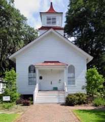
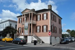
Block
From the record
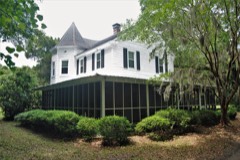
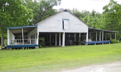
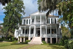
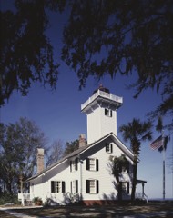
62 National Register listings published here, 4 of them National Historic Landmarks.
Sources: the National Register database, National Park Service
101 topographic sheets and 8 fire insurance atlases across 1 place.
62 National Register listings published here, 4 of them National Historic Landmarks.
Sources: the National Register database, National Park Service
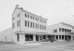
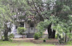
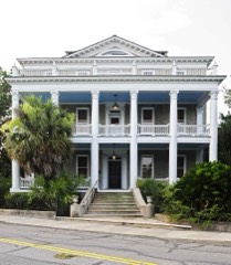
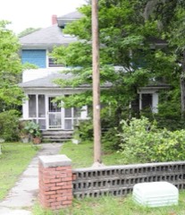
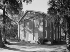
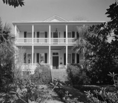
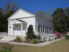
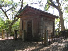
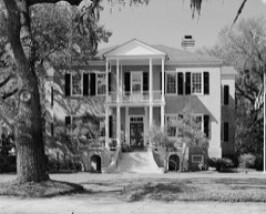
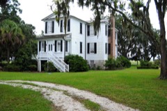
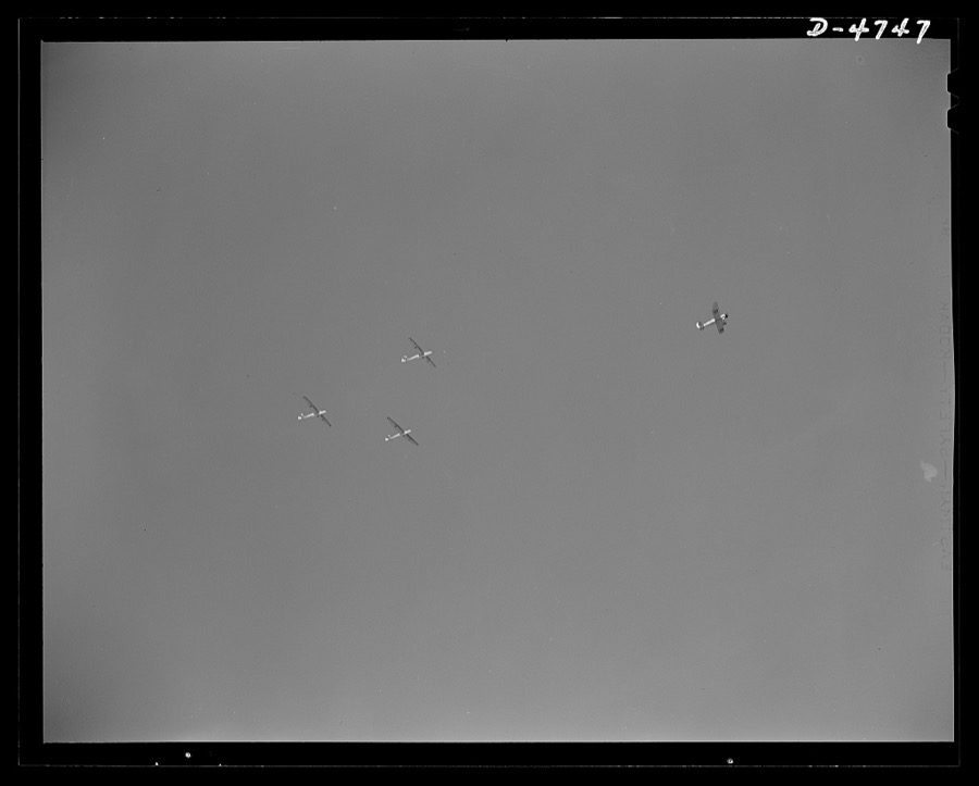
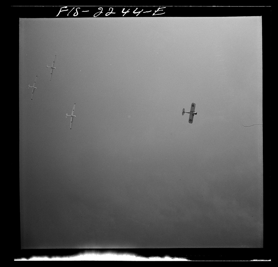
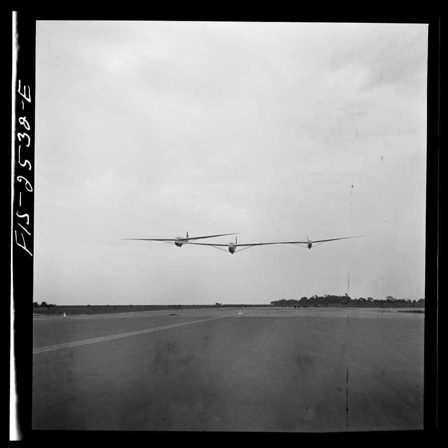
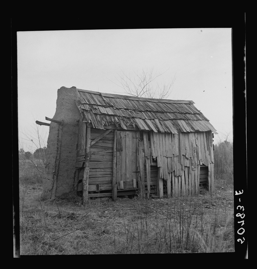
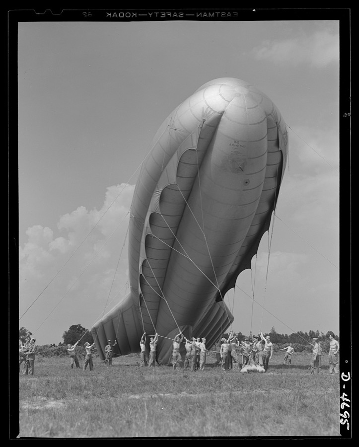
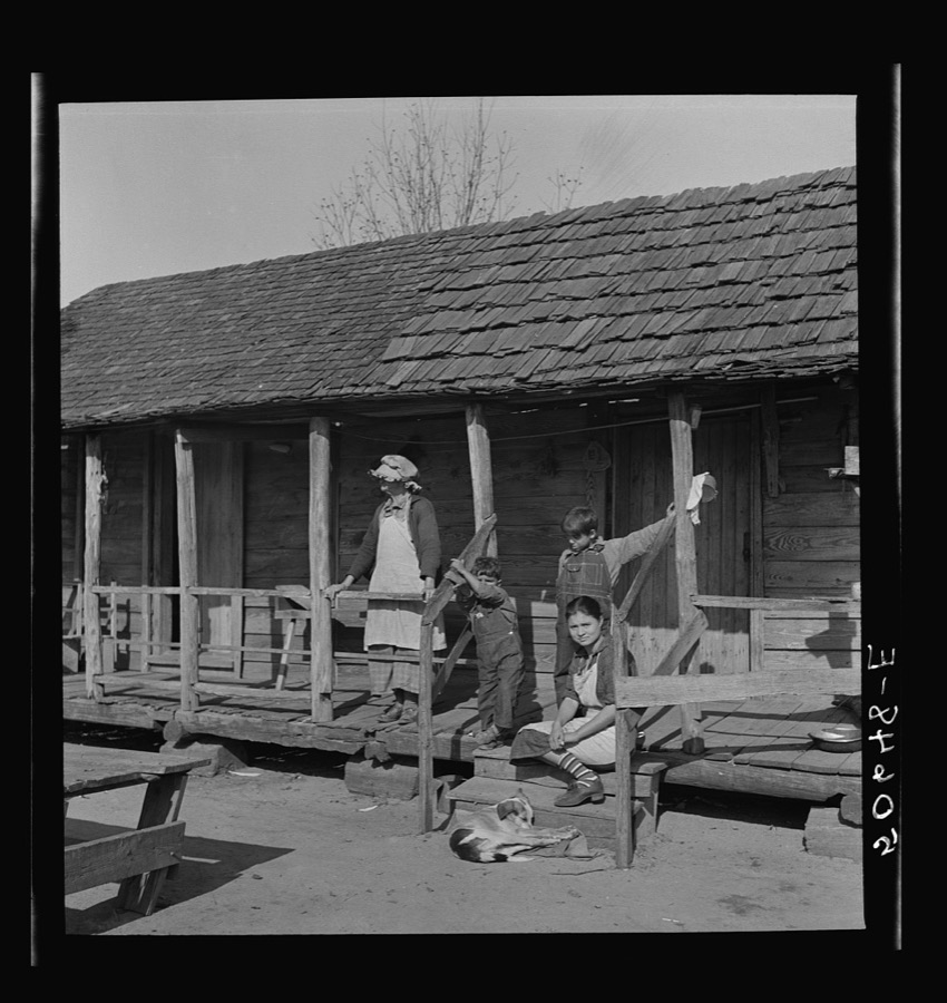
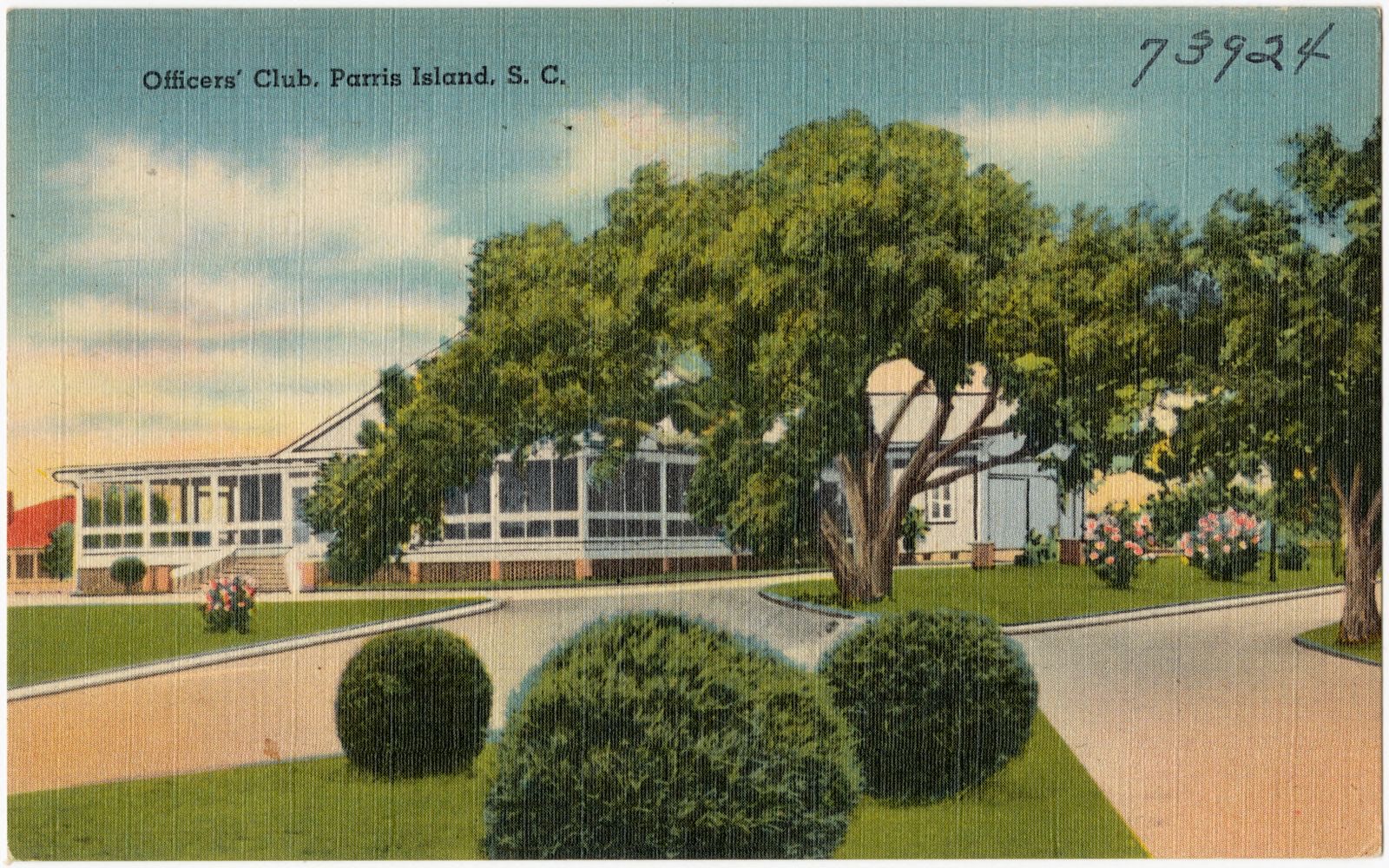
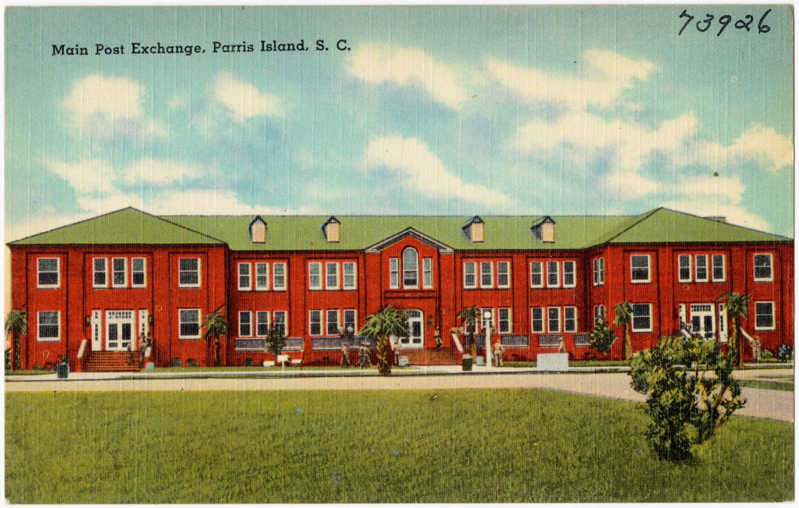
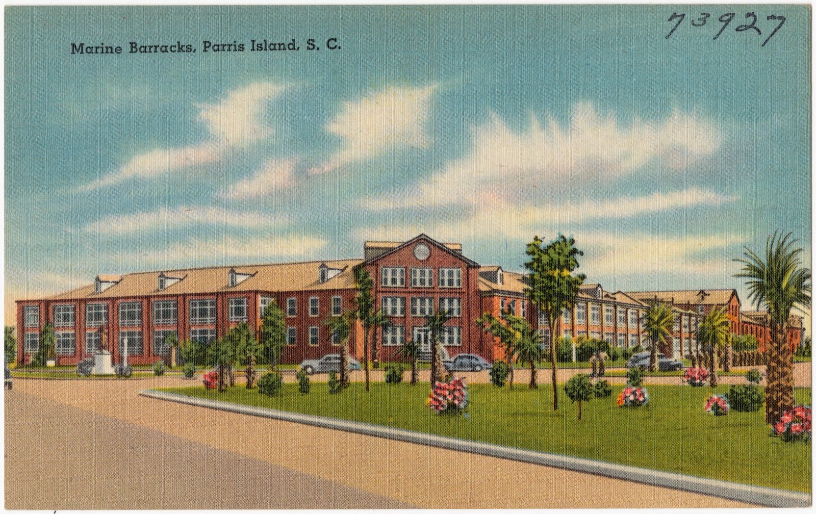
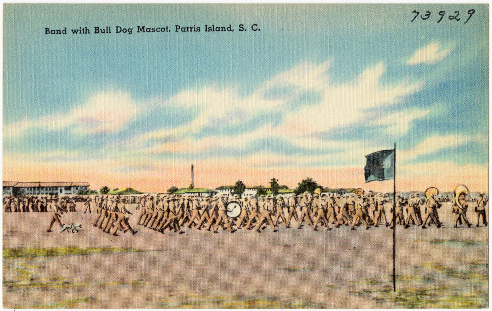
Taken for the Office of War Information and the Farm Security Administration, who photographed the country between 1935 and 1944. Works of United States government photographers, with no known restriction on use. Each opens its catalogue record.
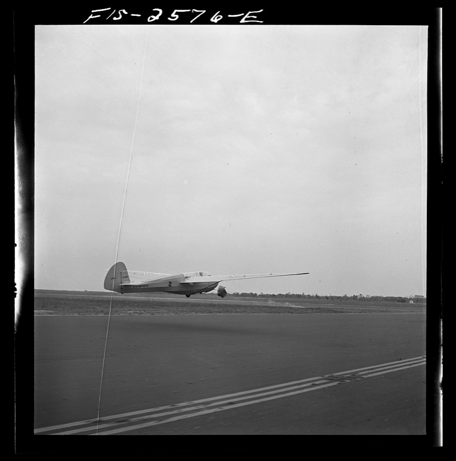


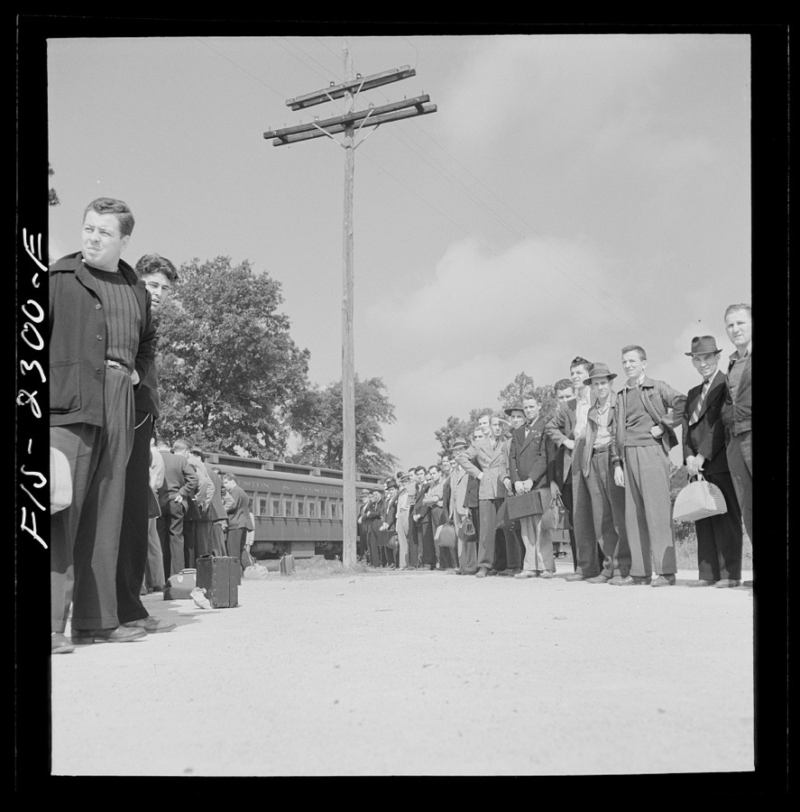
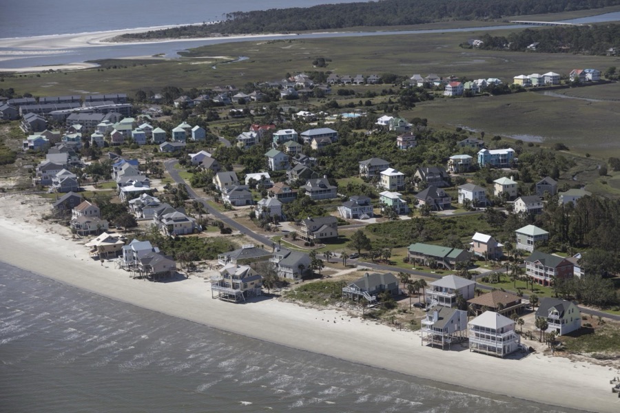
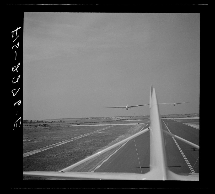

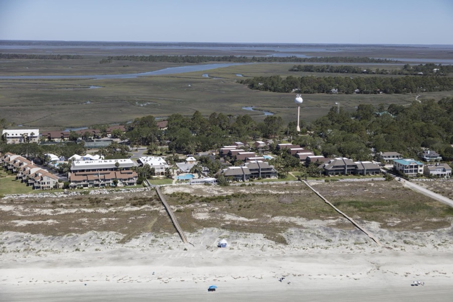
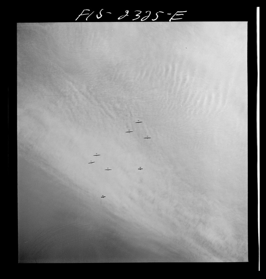
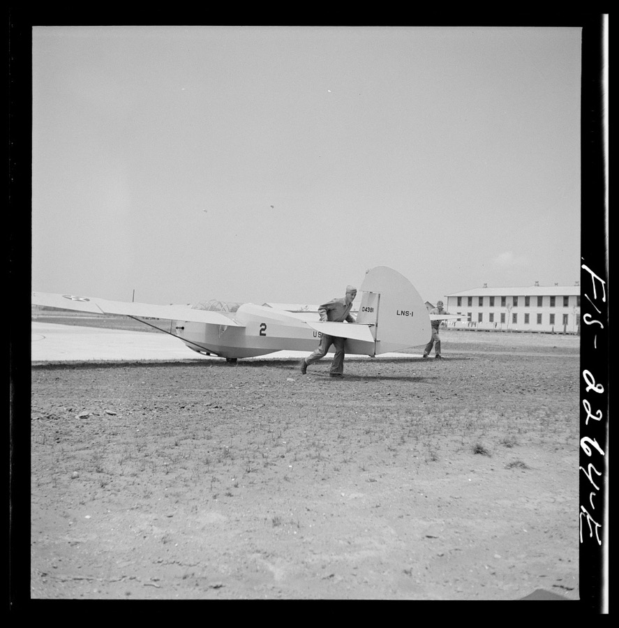
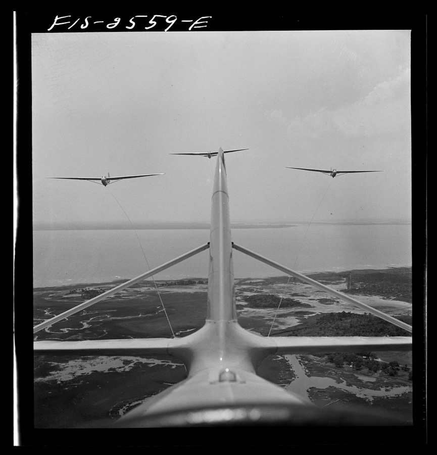

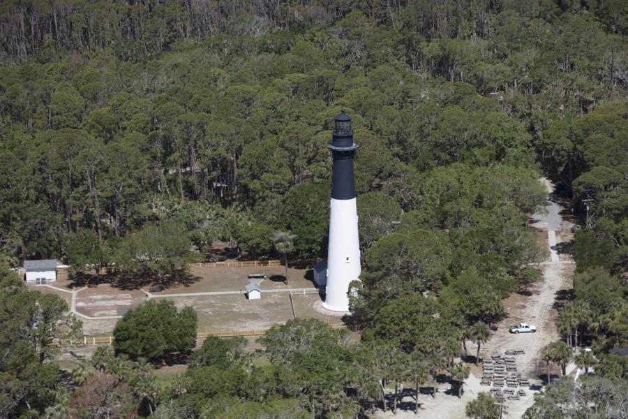


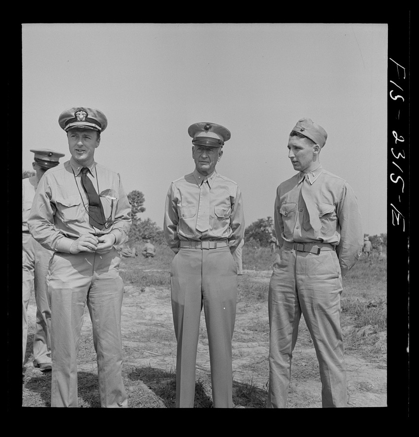

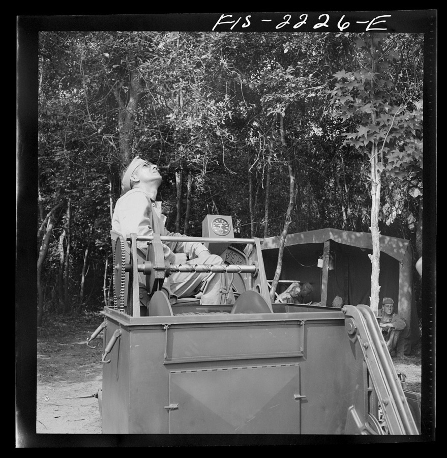

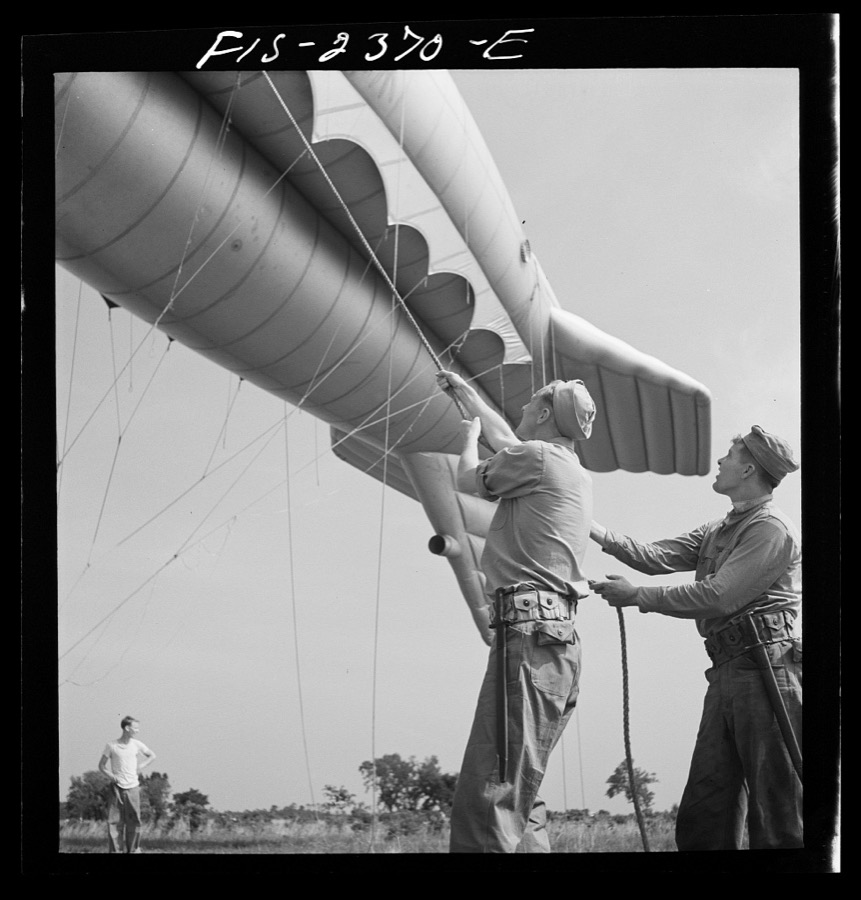

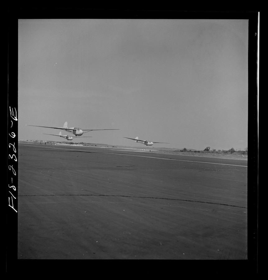
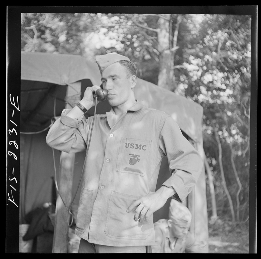
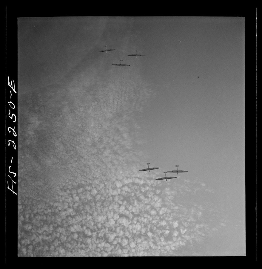
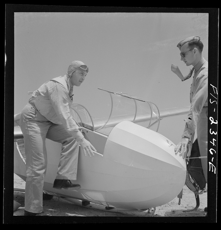
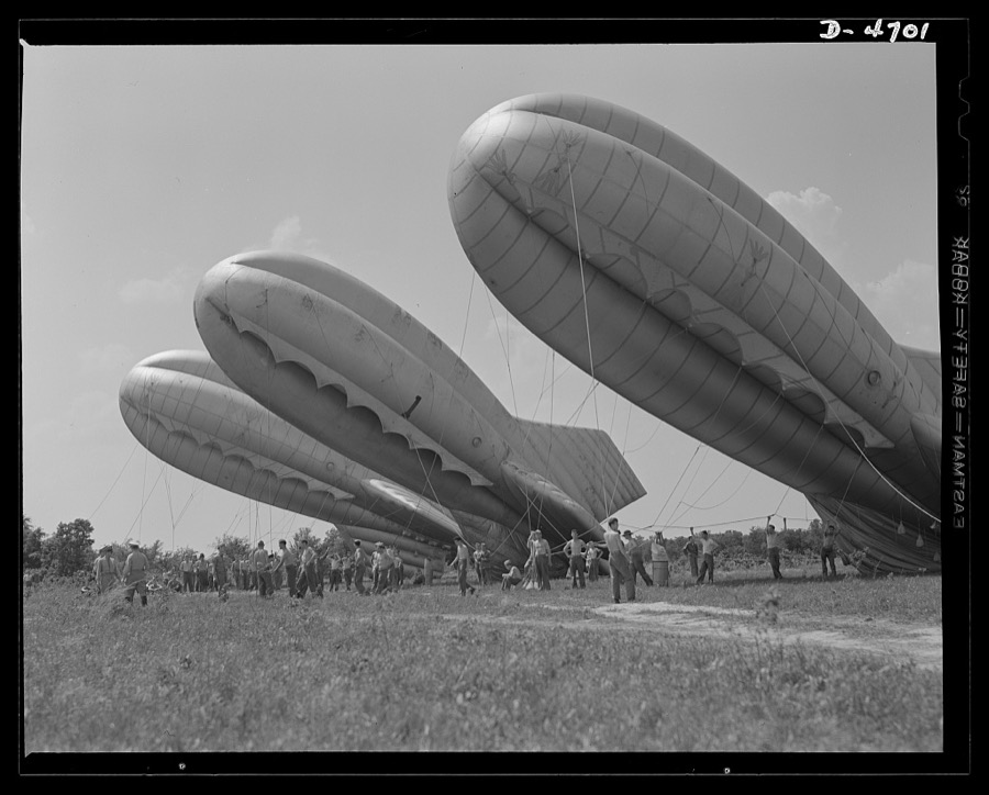
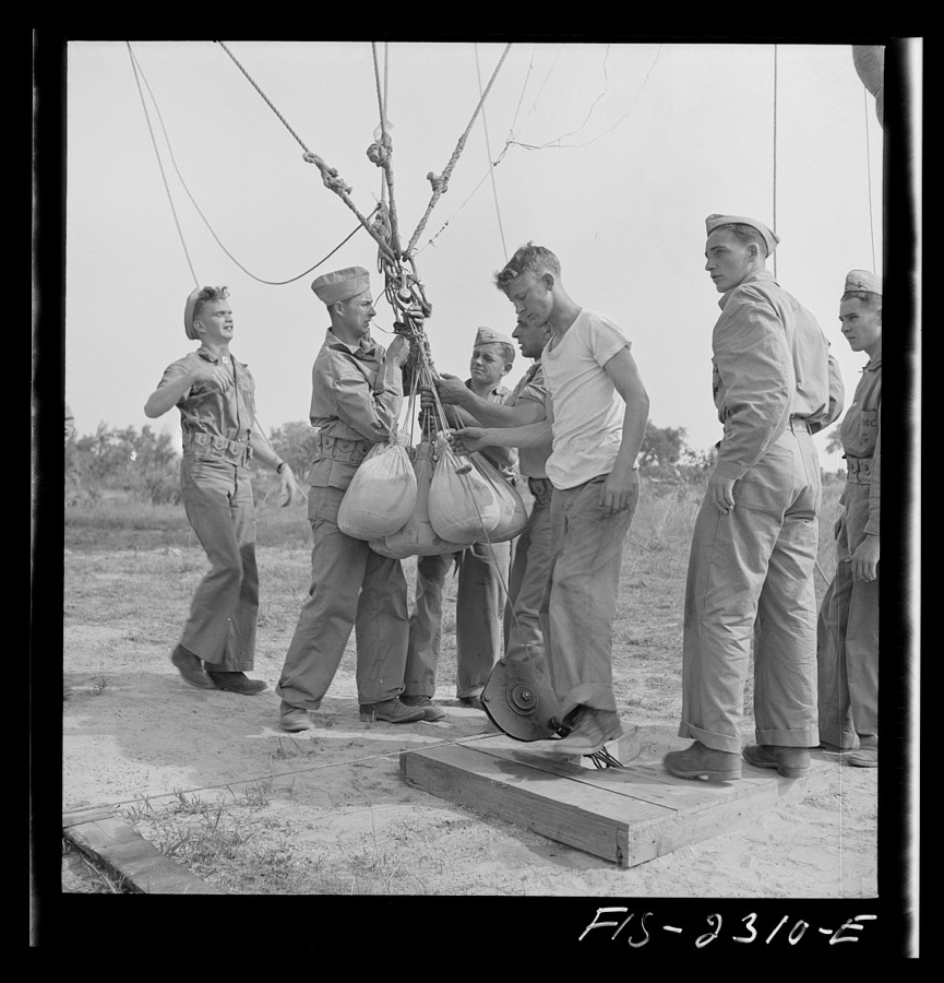
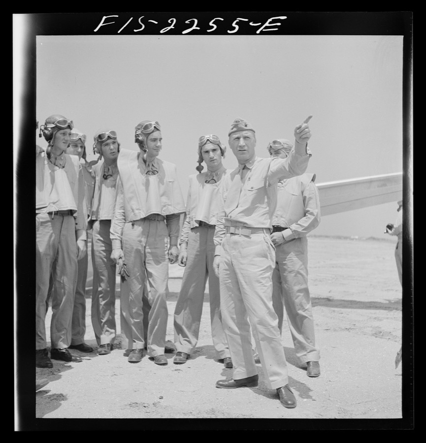
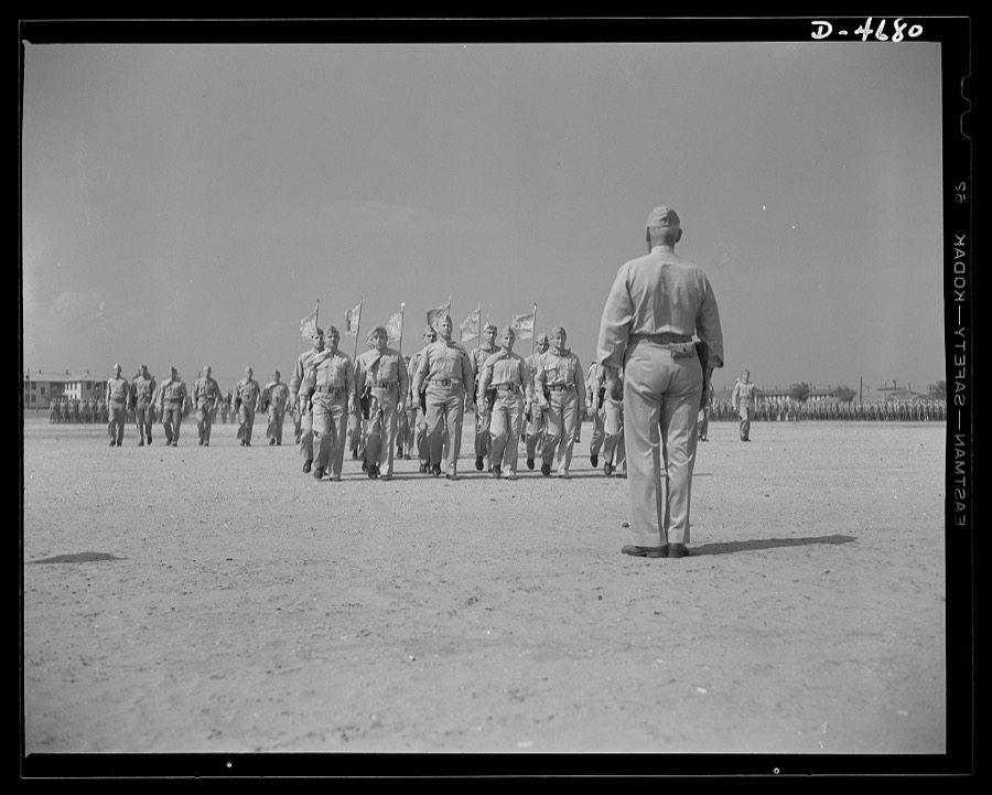
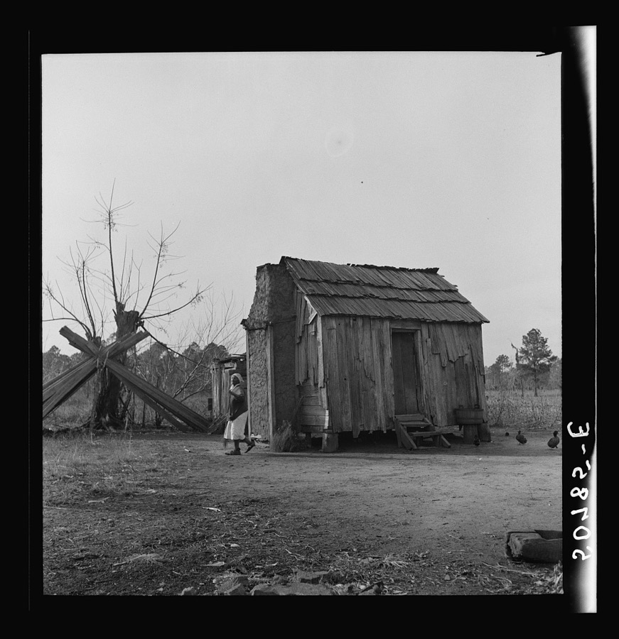
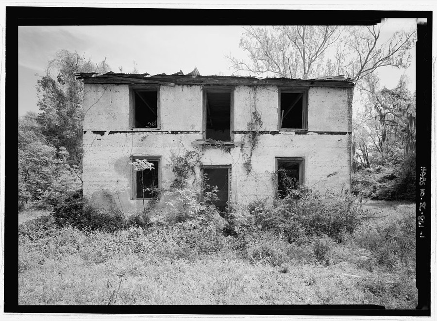
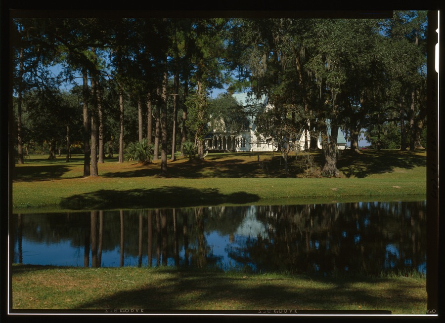
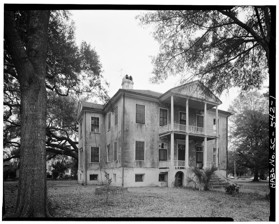
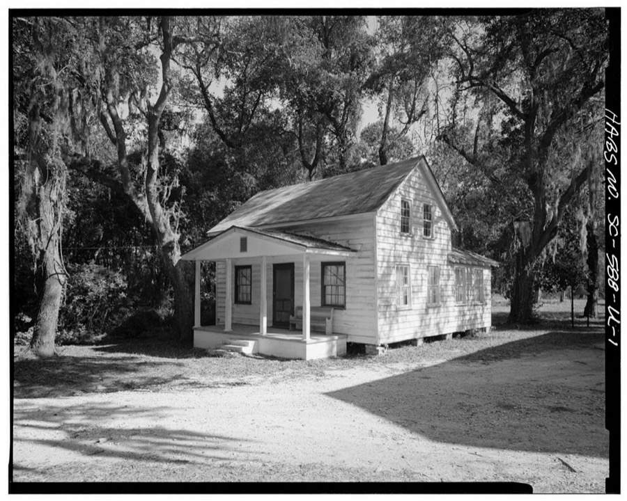
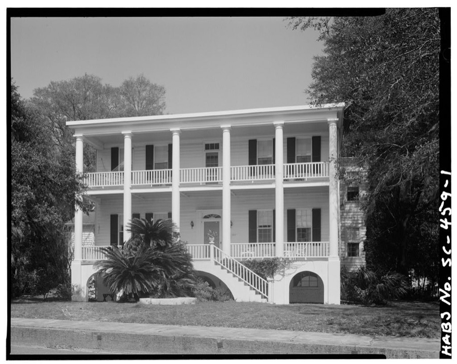
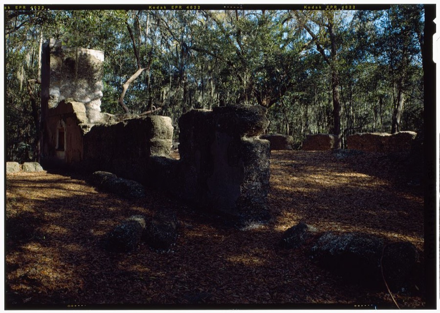
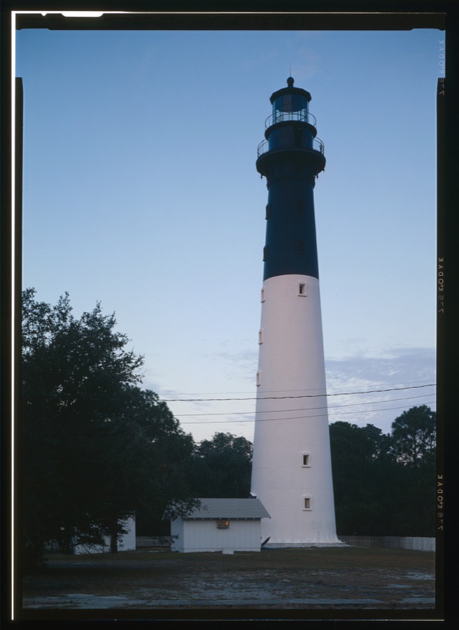
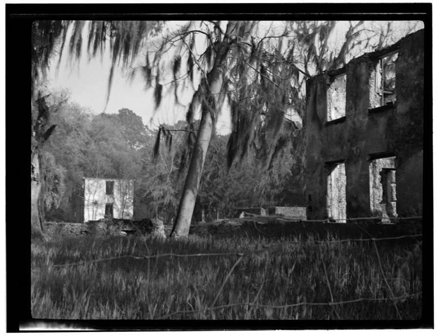
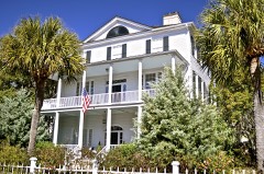
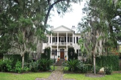
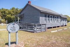
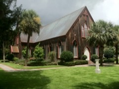
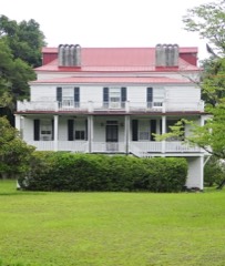
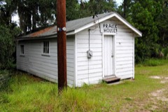
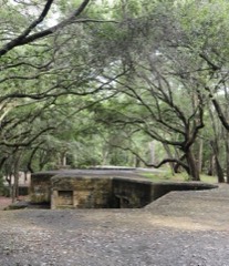
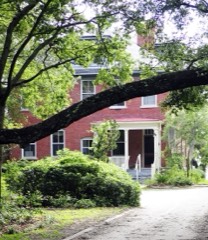
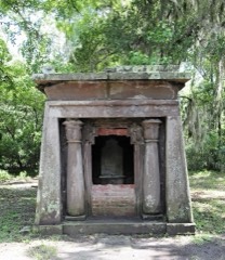
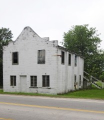
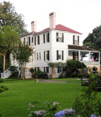
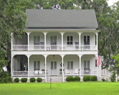
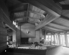
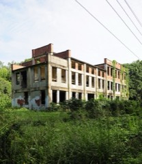
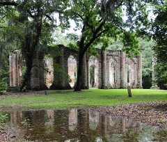
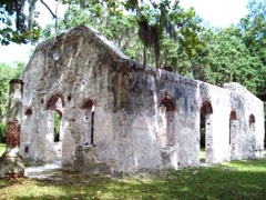
Every property in this county listed on the National Register of Historic Places, with the year it was listed and the federal nomination document.
Sampled issues, machine-read from the Library of Congress scan and published page by page, so every headline and column is searchable text.
Port Royal, S.C., 1862 to 1867. Machine-read from the Library of Congress scan.
Beaufort, S.C., 1871 to 1873. Machine-read from the Library of Congress scan.
Beaufort, S.C., 1863 to 1864. Machine-read from the Library of Congress scan.
Port Royal, S.C., 1864. Machine-read from the Library of Congress scan.
Beaufort, S.C., 1874 to 1876. Machine-read from the Library of Congress scan.
Port Royal, S.C., 1873 to 1874. Machine-read from the Library of Congress scan.
Beaufort, S.C., 1874 to 1876. Machine-read from the Library of Congress scan.
Beaufort, S.C., 1869 to 1871. Machine-read from the Library of Congress scan.
Beaufort, S.C., 1877 to 1879. Machine-read from the Library of Congress scan.
Beaufort, S.C., 1879 to 1881. Machine-read from the Library of Congress scan.
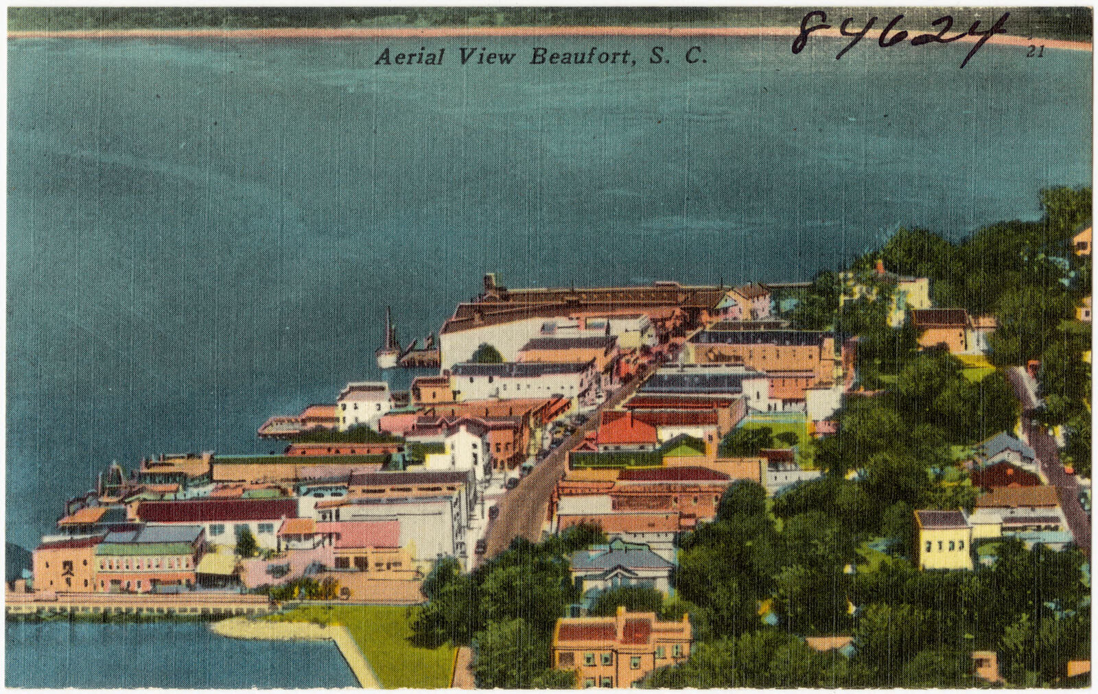
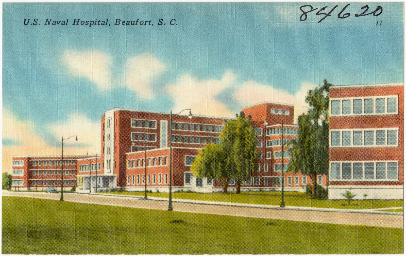
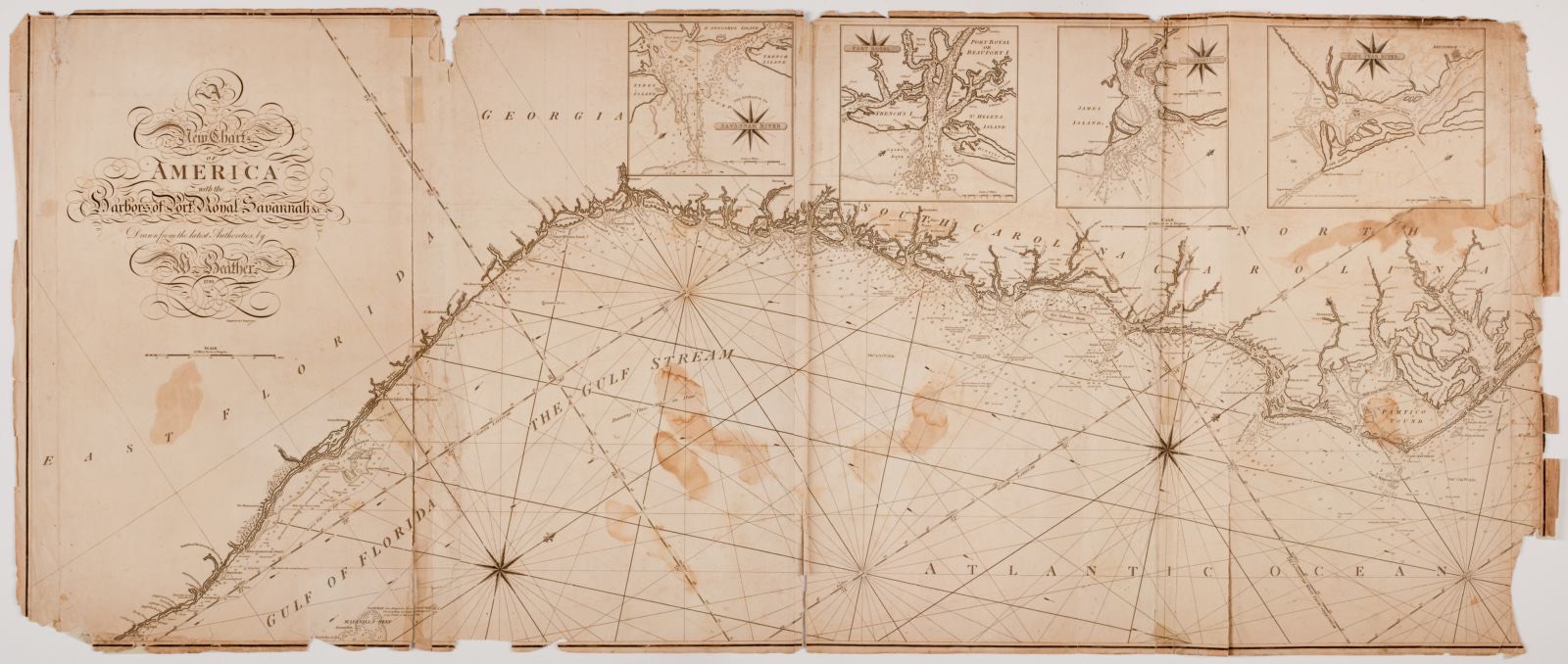
Drawn when these were printed as single large sheets: the town seen from the air, and the county divided into its farms with every owner named. Each opens the original at the Library of Congress.
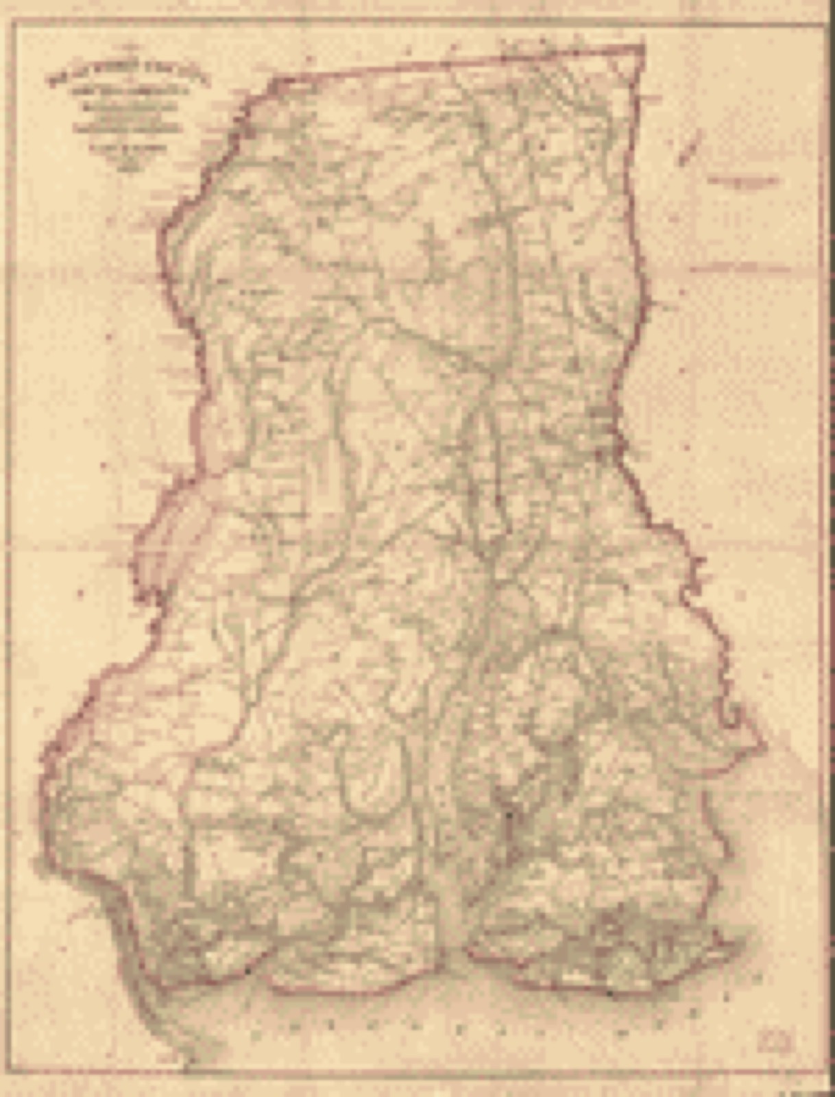
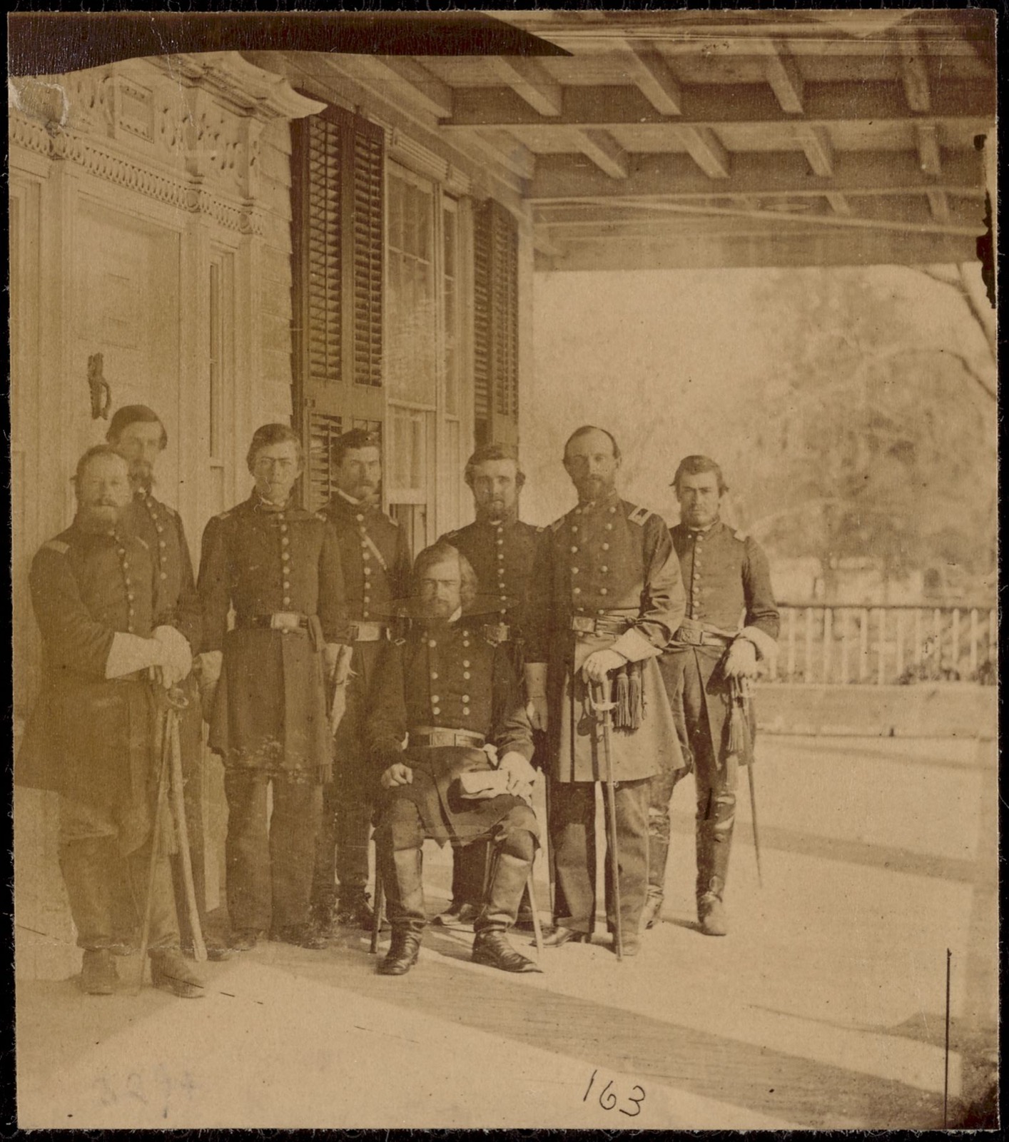
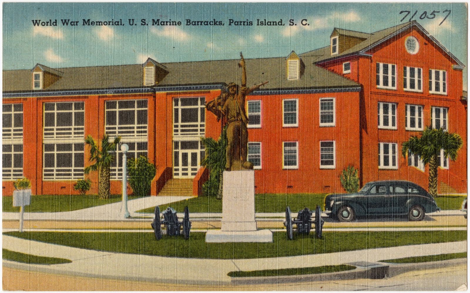
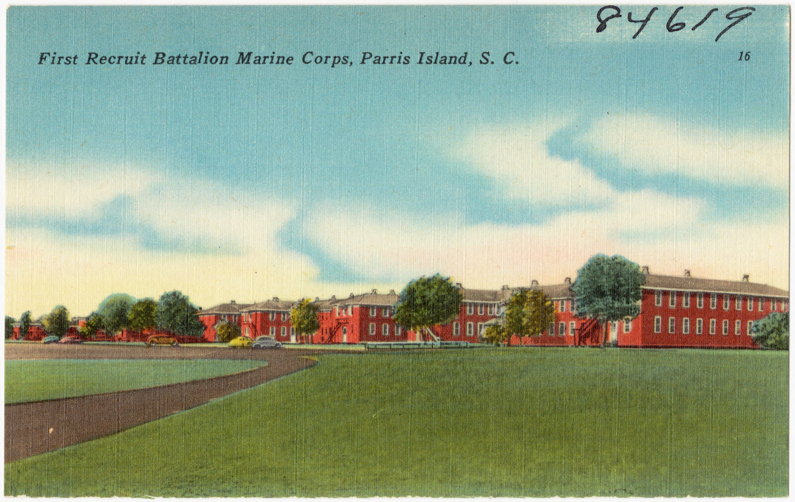
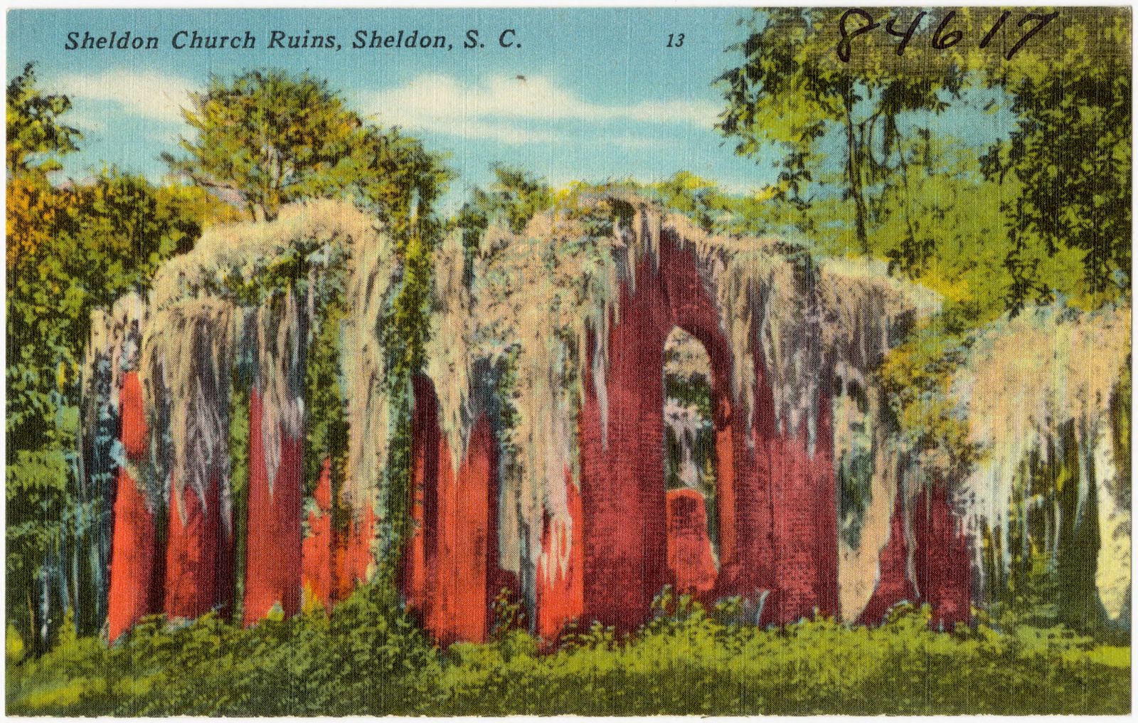
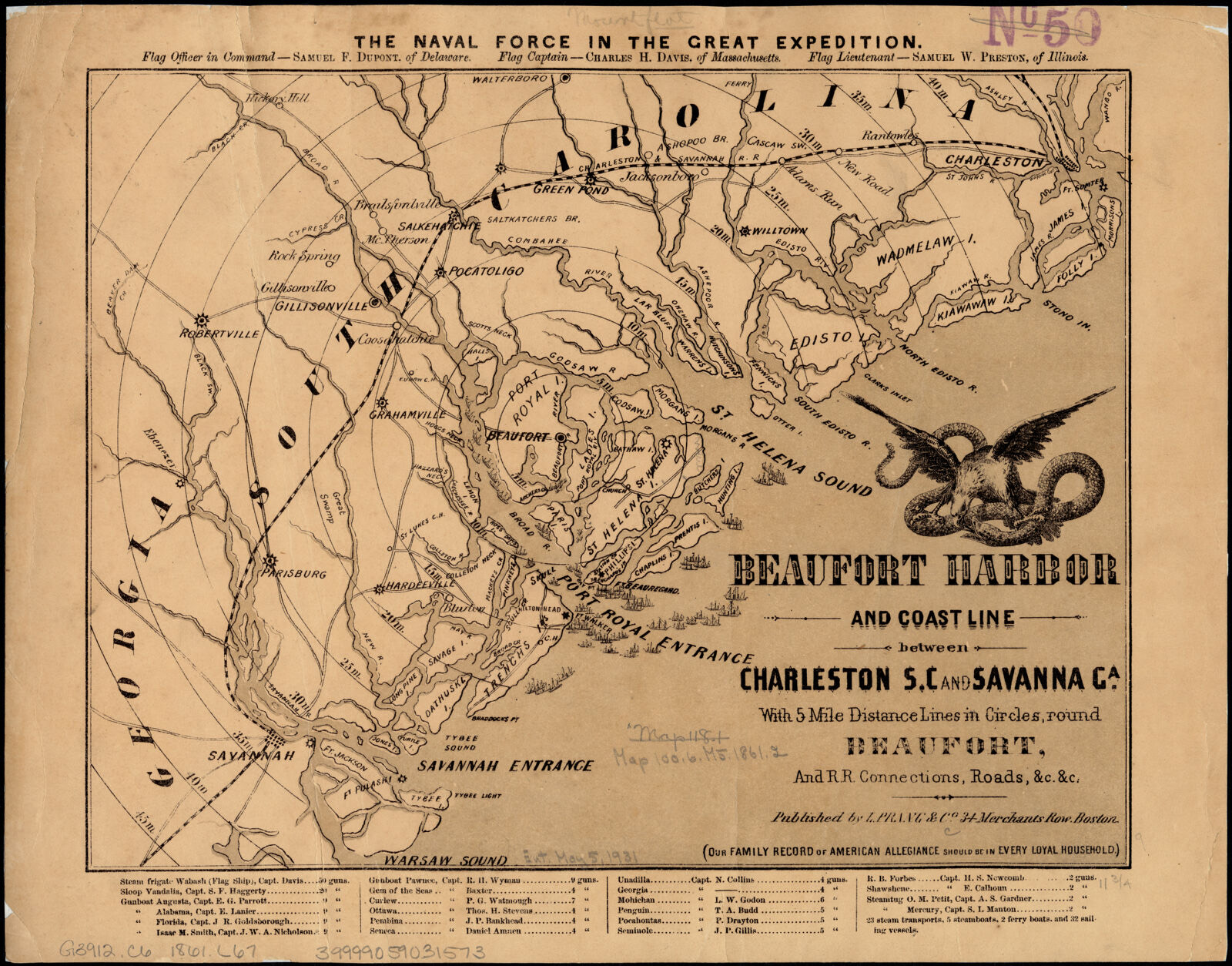
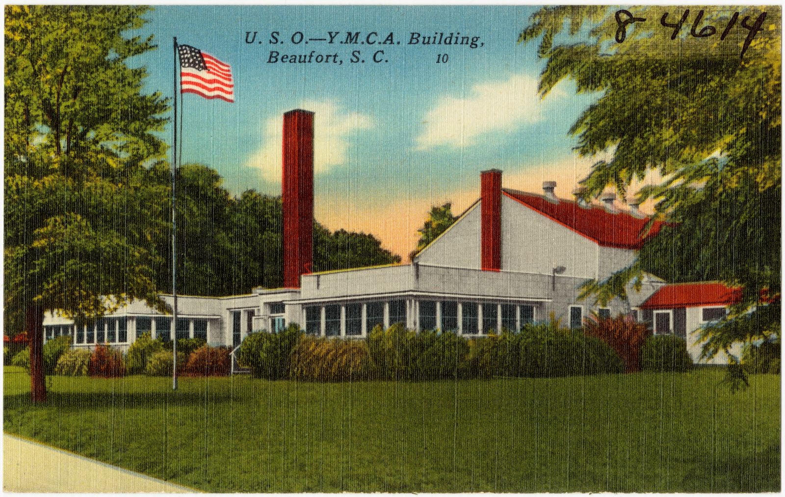
Selected from the Digital Public Library of America's 74 image records catalogued for this county. Every one shown here carries a public-domain status or a licence that permits reuse on a site that carries advertising; non-commercial, share-alike and restricted images are excluded. The selection is spread across the county's towns (at most eight per town), so no single institution's bulk upload crowds out the rest. Each opens the holding library's record, and the complete set at the Digital Public Library of America is one click away.
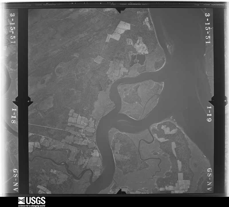
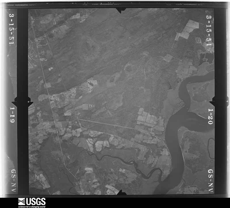
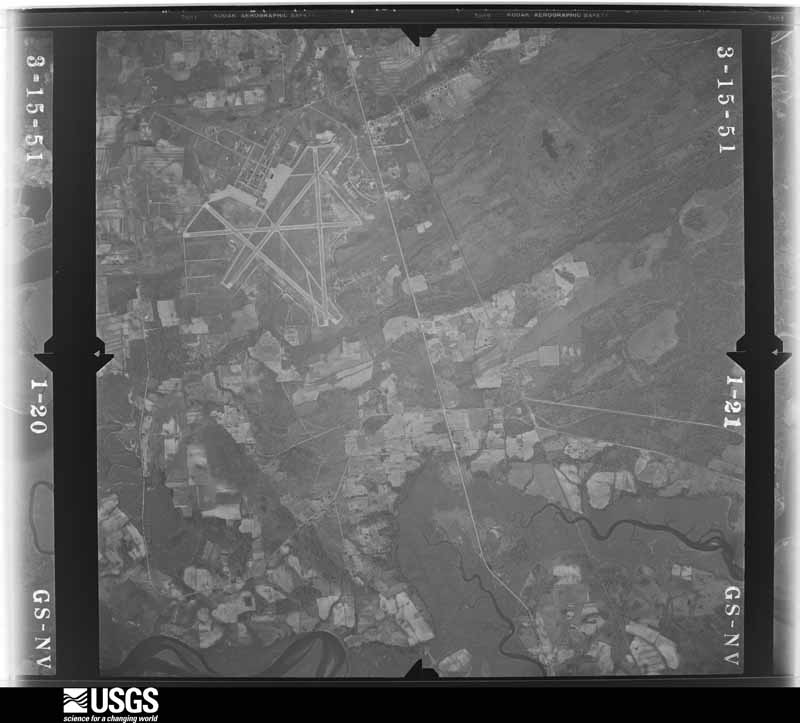
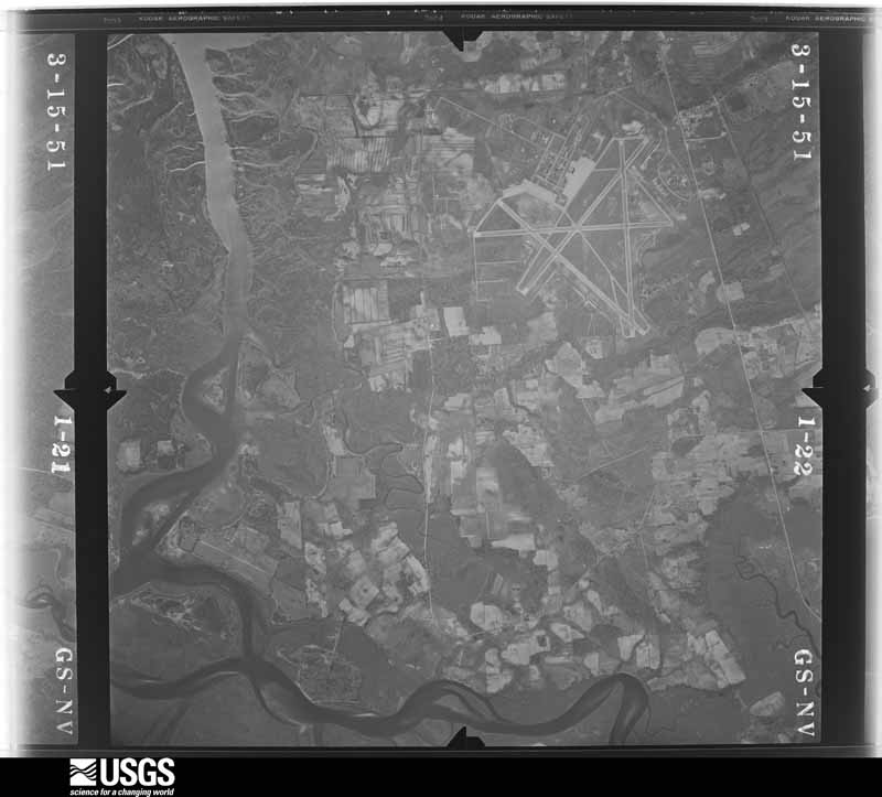
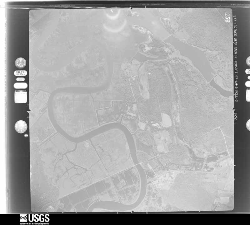
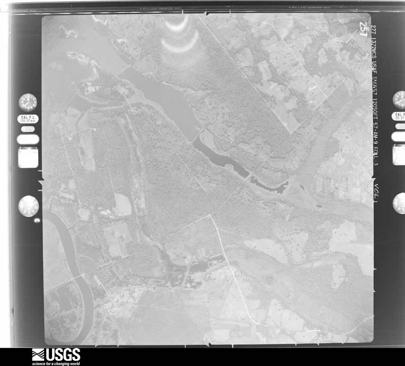
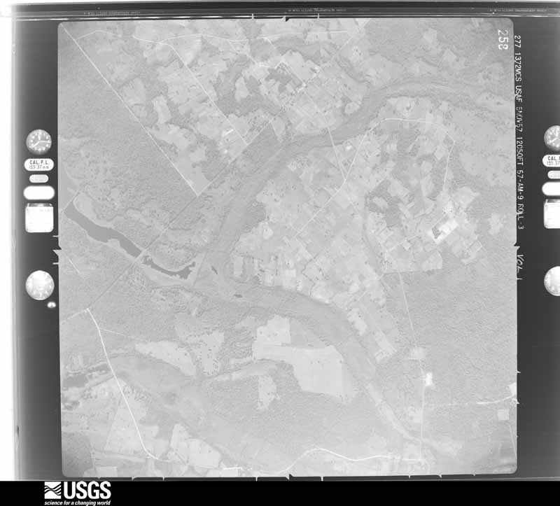
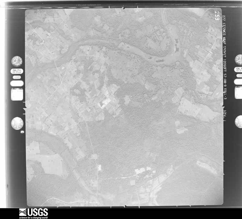
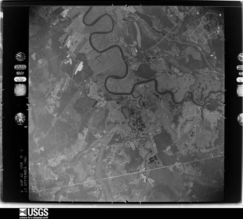
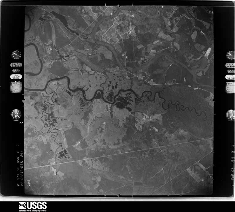
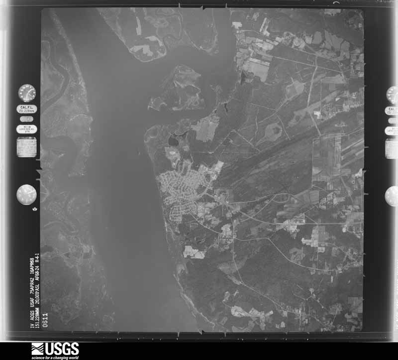
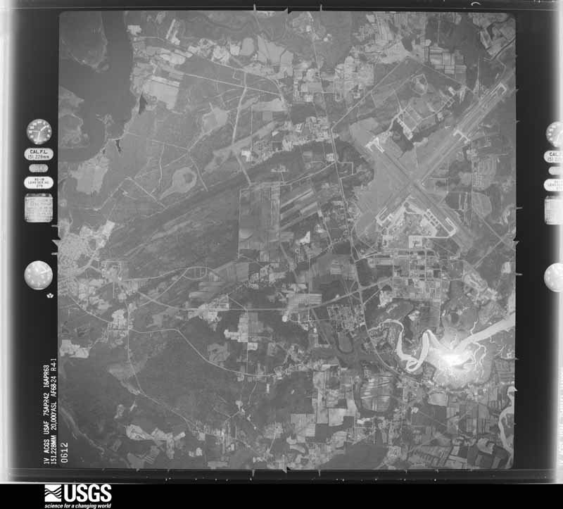
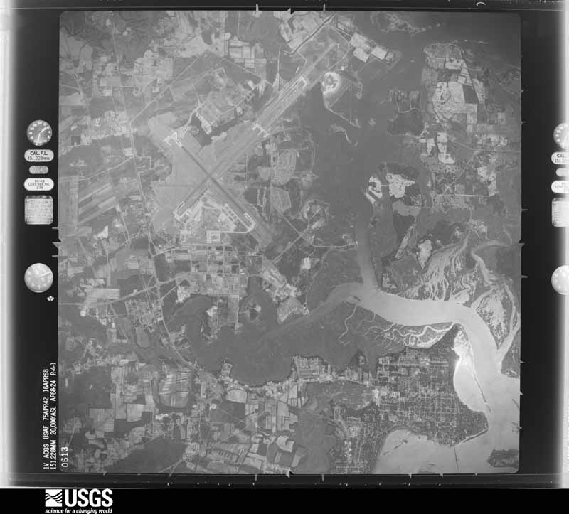
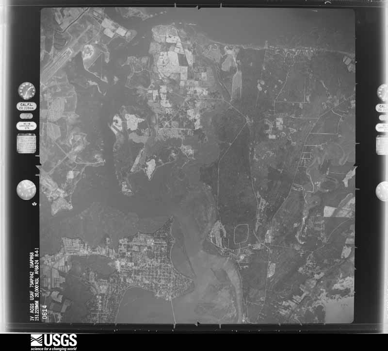
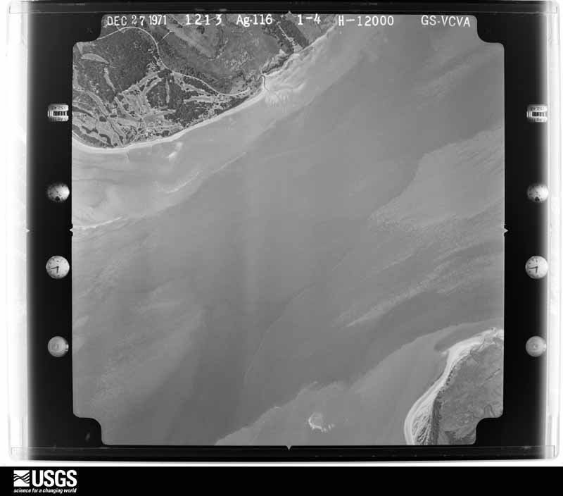
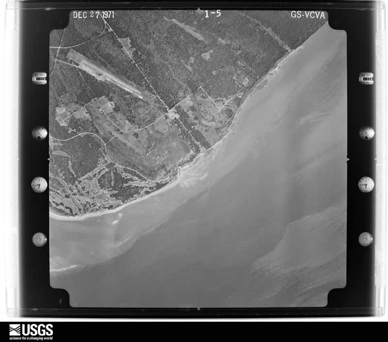
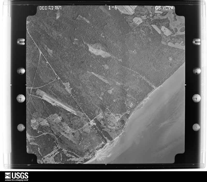
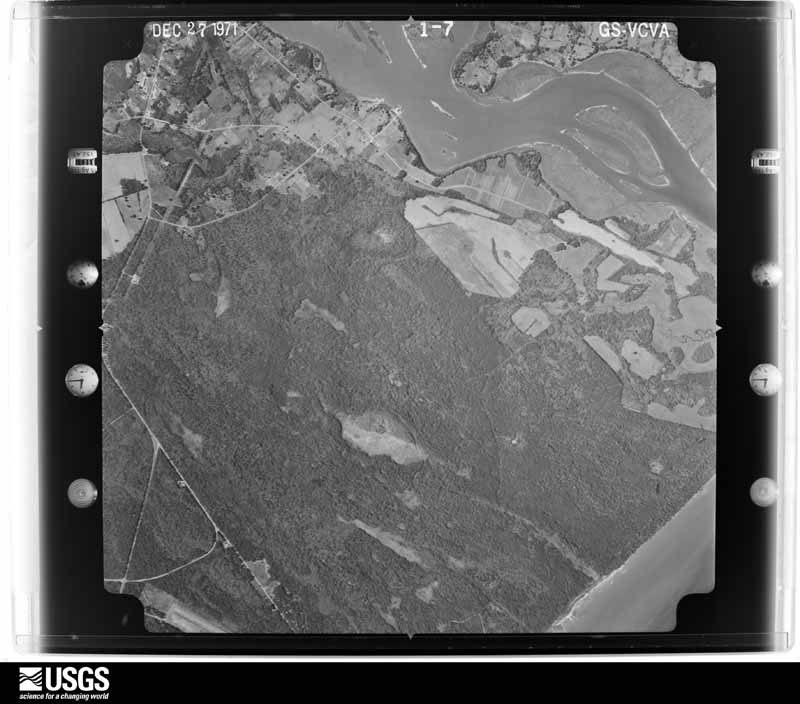
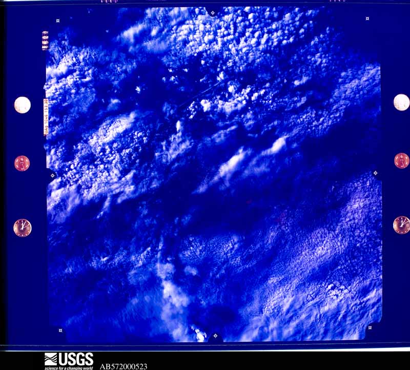
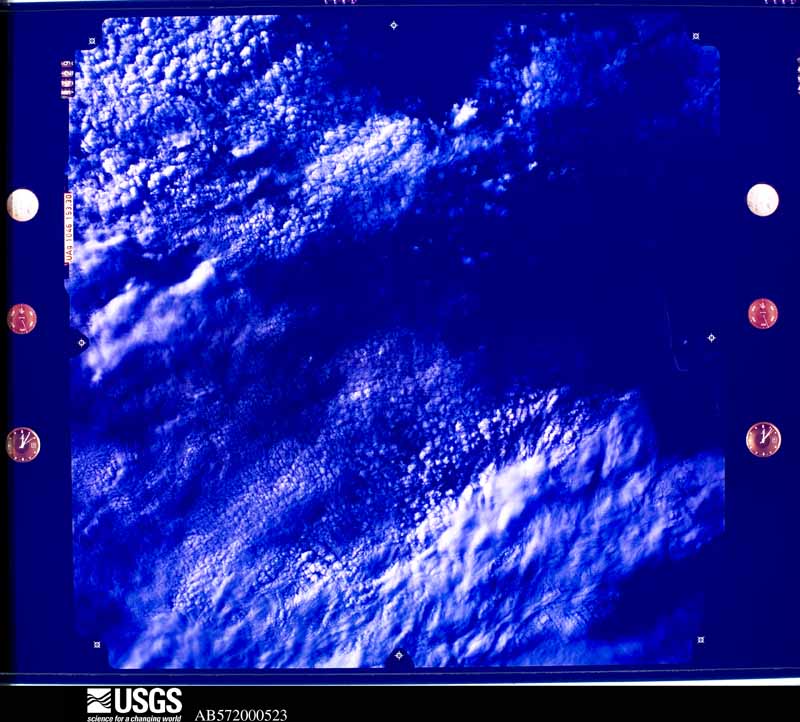
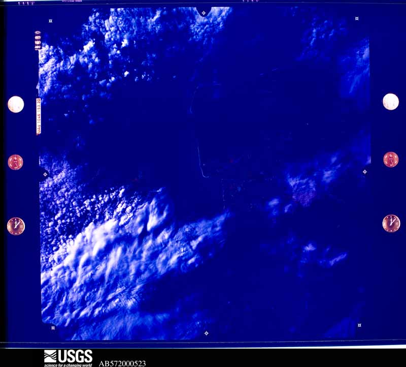
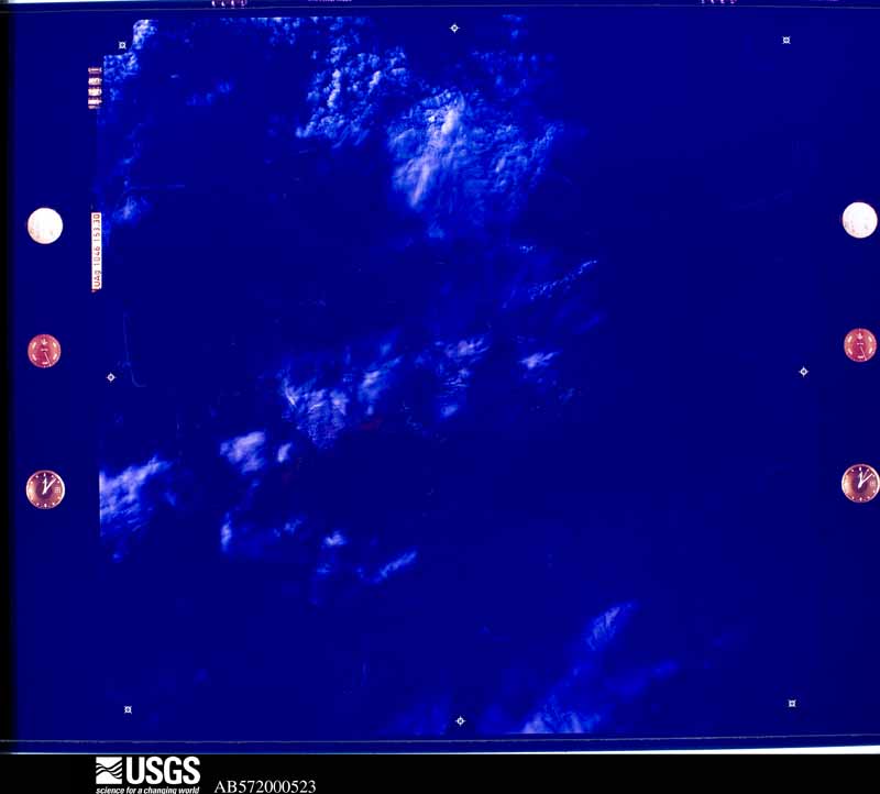
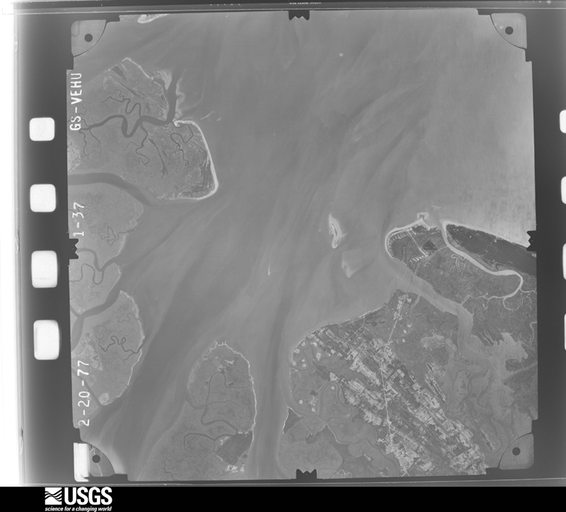
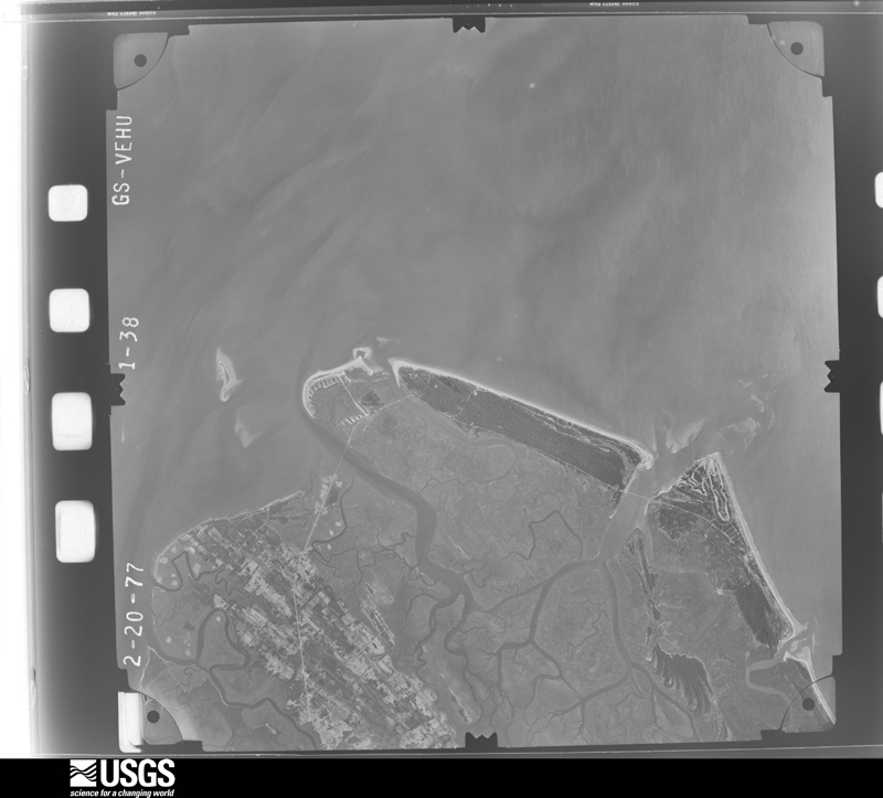
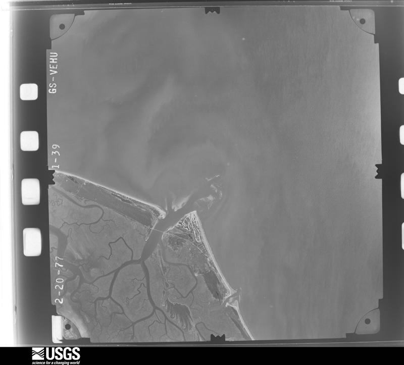
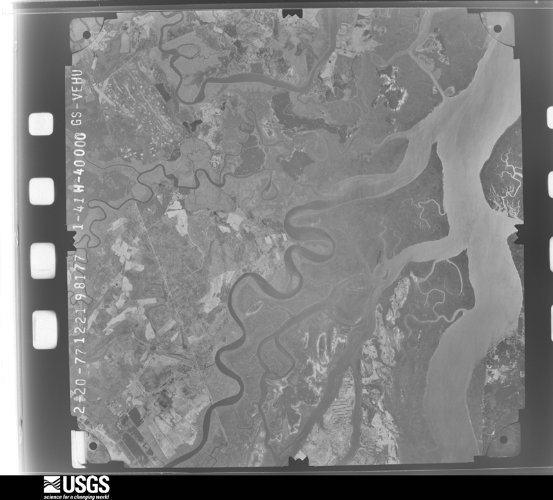
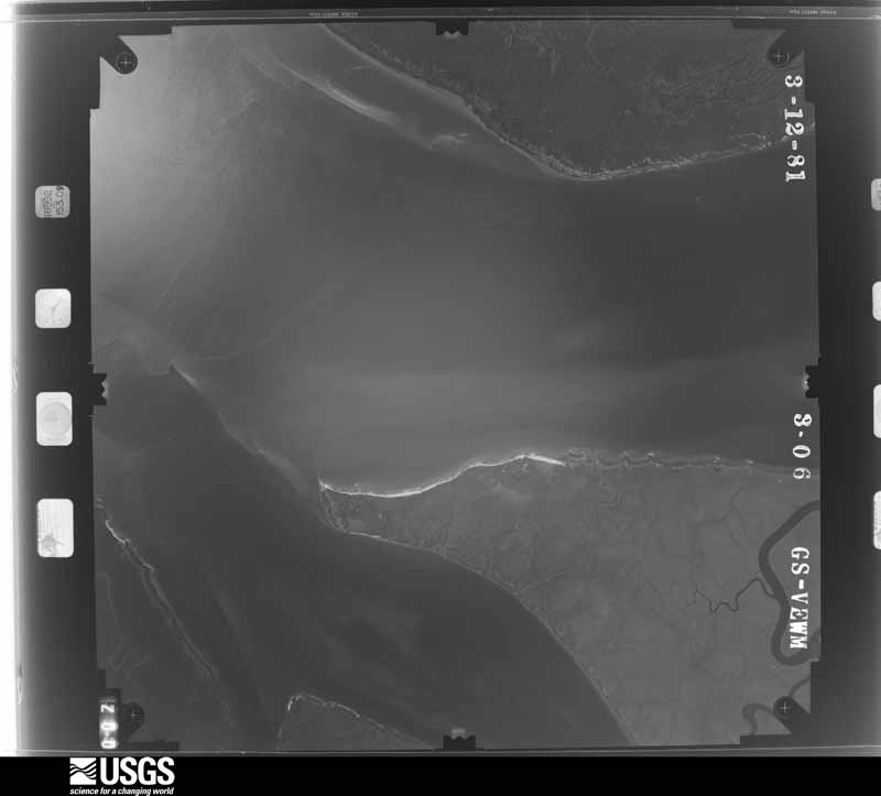
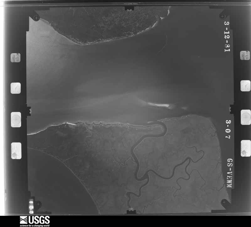
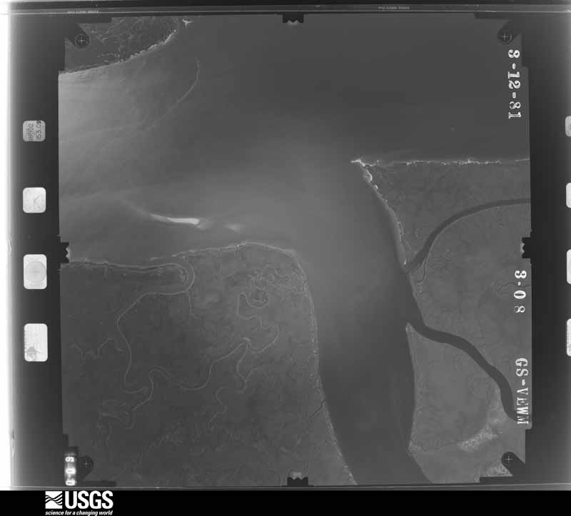
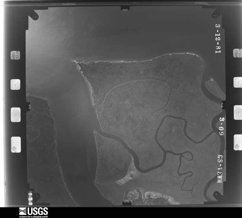
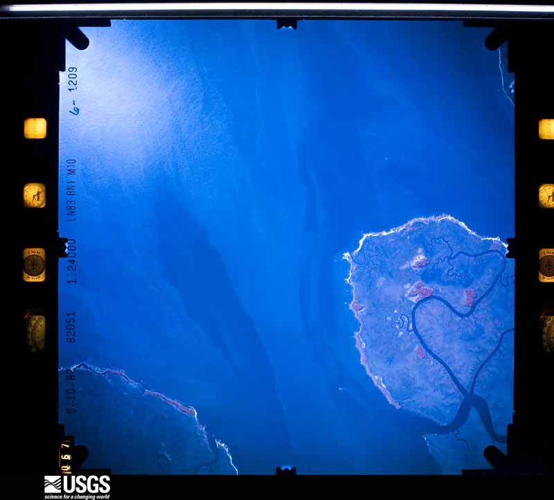
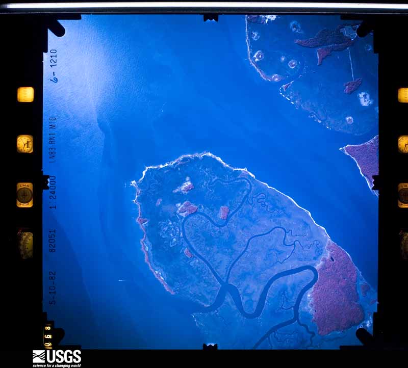
Flown by the U.S. Geological Survey between 1937 and 1989, the Aerial Photo Single Frames collection is the definitive mid-century view of the land: fields, roads and rivers as the camera saw them. The Survey holds 1,726 frames inside the rectangle that bounds this county; the 48 frames below were taken over the county itself, chosen across the decades of flights (at most four a year from that rectangle), so one flight cannot crowd out the rest. The full set is free to browse and download at EarthExplorer under the dataset Aerial Photo Single Frames.
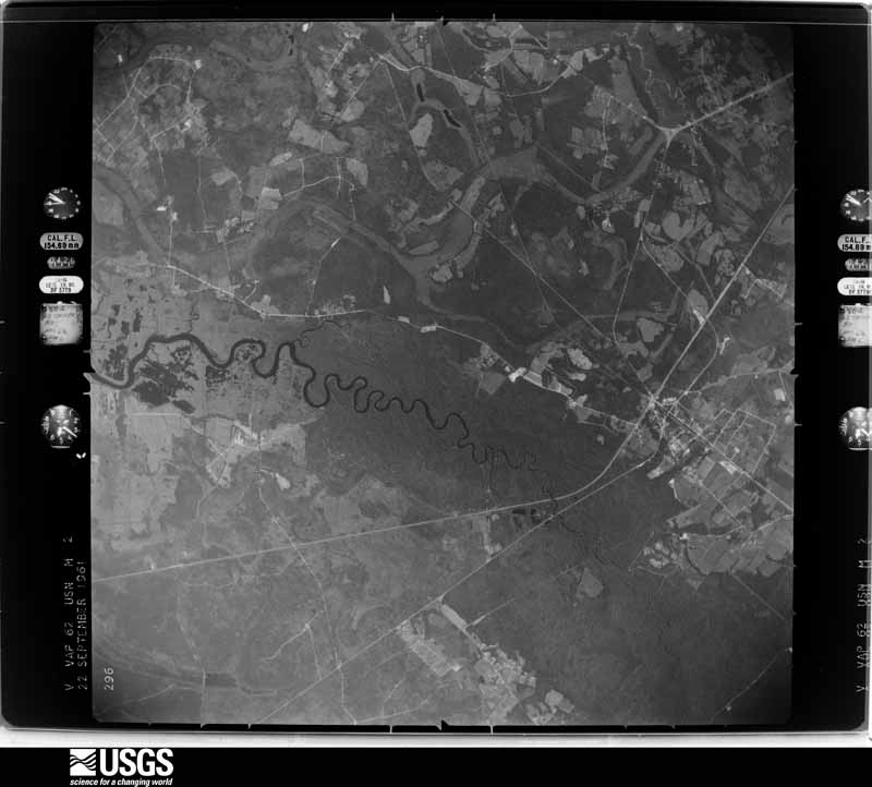
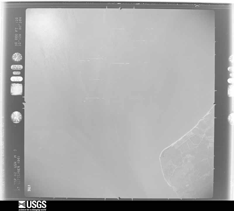
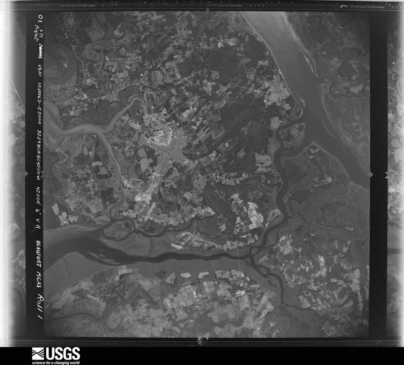
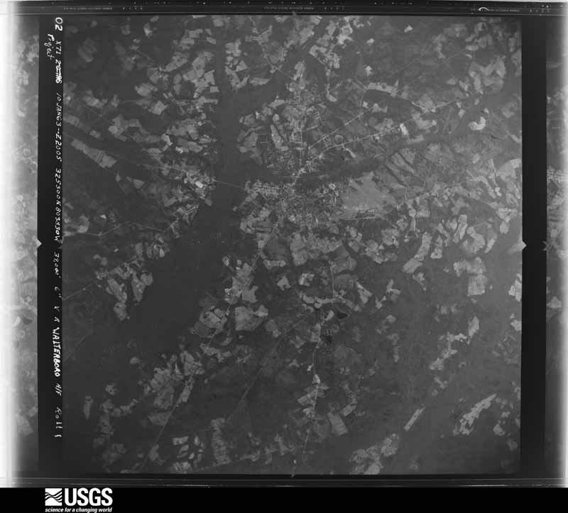
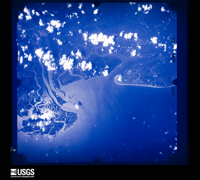
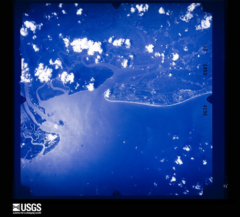
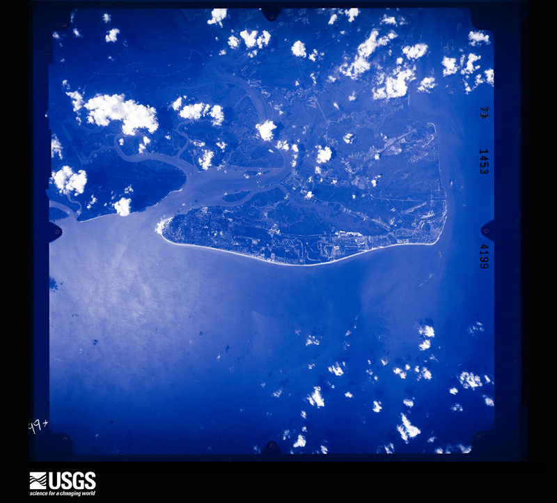
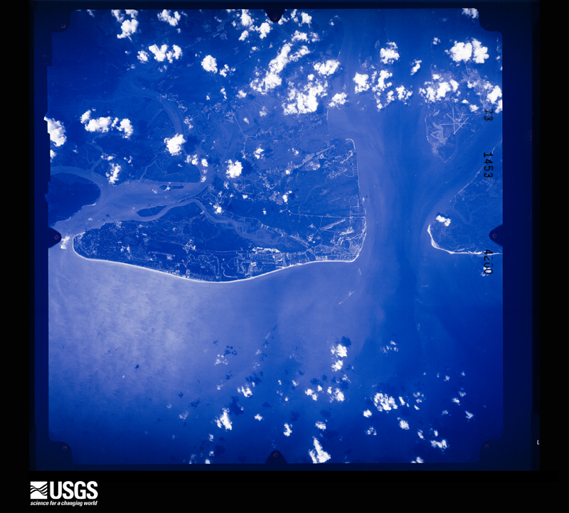
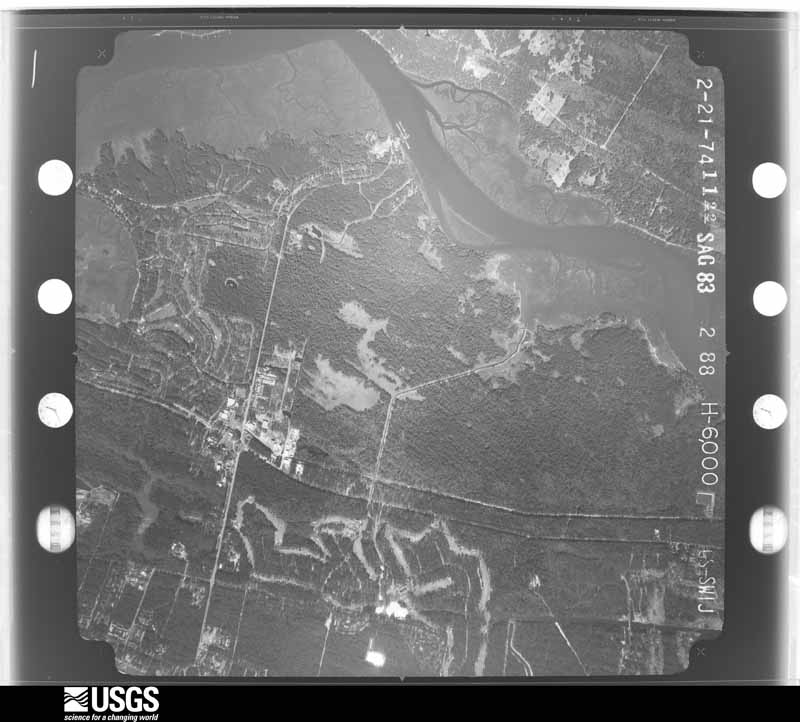
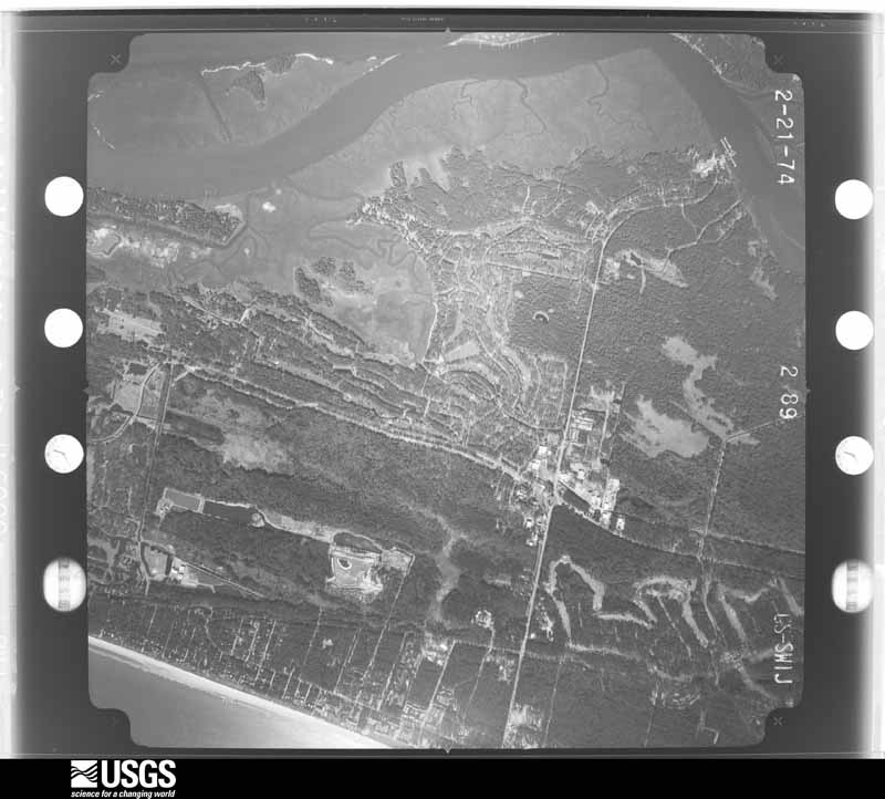
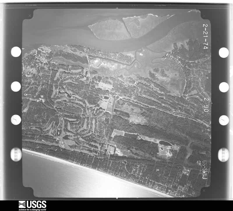
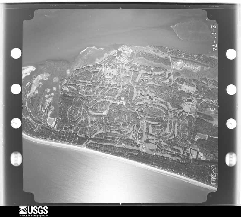
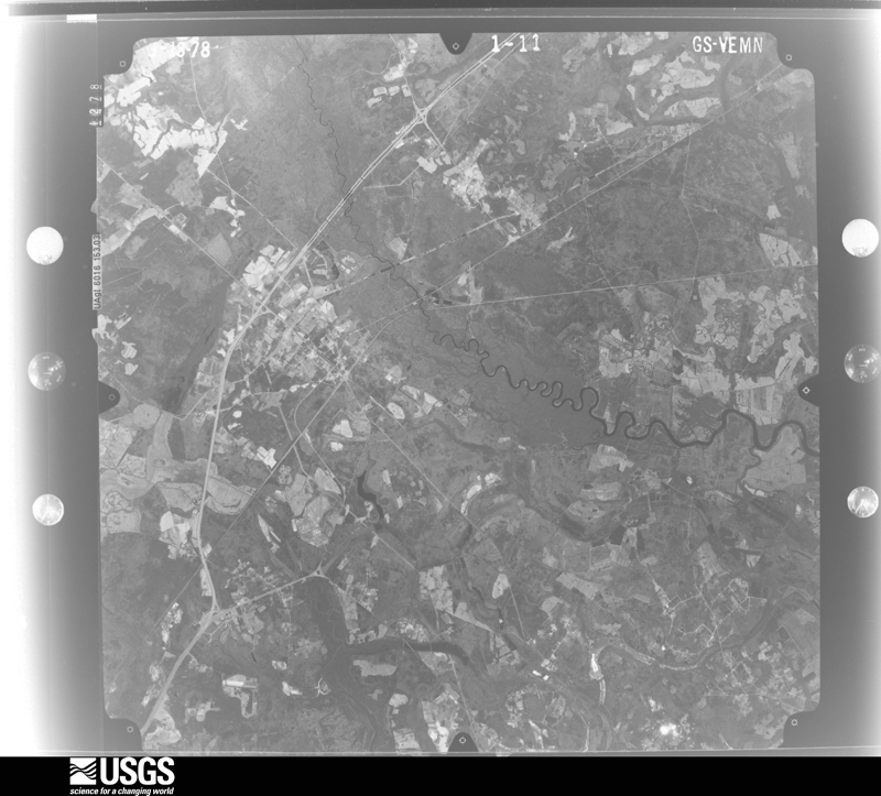
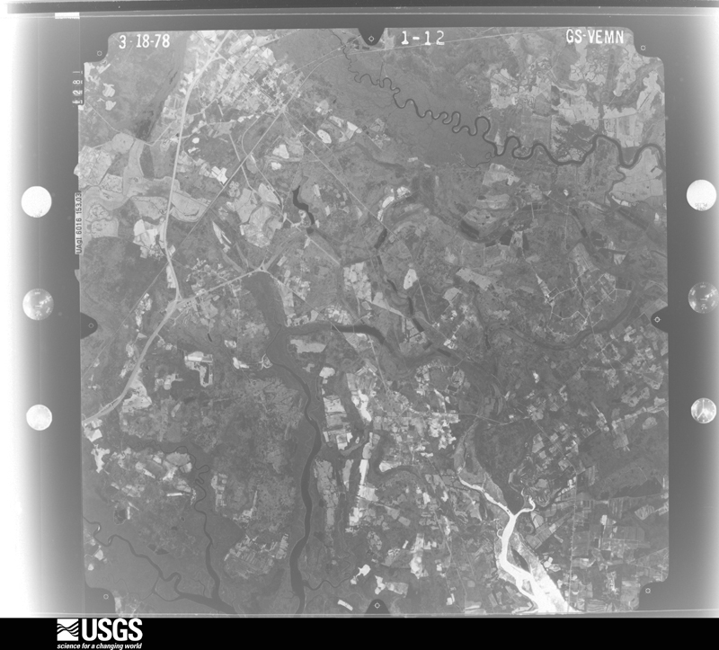
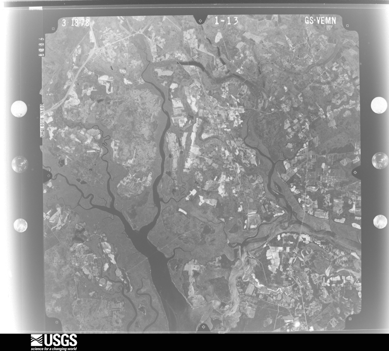
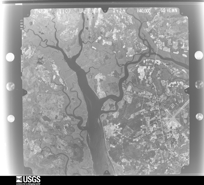
The thermometers that kept this county's weather, and the gages that measured the flow of its streams, as the federal records hold them. The extremes below are measured values from those records, not estimates.
Who lived here in 1950, one enumeration district at a time, as the Census Bureau described each district. Each row opens its official National Archives result, with Population Schedules and ED Maps available there.
Every wildfire the federal occurrence database records inside this county: 1,403 of them, burning about 8,110 acres. 14 started naturally and 385 were recorded as arson. Each settlement page carries the fires within five miles of it.
| Reported cause | Fires |
|---|---|
| Missing data/not specified/undetermined | 523 |
| Debris and open burning | 396 |
| Arson/incendiarism | 385 |
| Misuse of fire by a minor | 51 |
| Equipment and vehicle use | 17 |
| Natural | 14 |
| Smoking | 5 |
| Recreation and ceremony | 5 |
| Fireworks | 3 |
| Power generation/transmission/distribution | 2 |
| Railroad operations and maintenance | 2 |
The five largest, by the area the report gives. Two of them were set deliberately.
| Date | Cause | Size | Reported by | Name on the report |
|---|---|---|---|---|
| 8 March 1999 | Debris and open burning | 480 acres | South Carolina Forestry Commission | not named |
| 6 August 1993 | Missing data/not specified/undetermined | 149 acres | South Carolina Forestry Commission | not named |
| 3 March 1992 | Debris and open burning | 114 acres | Pinckney Island National Wildlife Refuge | PK01 |
| 22 March 2017 | Arson/incendiarism | 85 acres | South Carolina Forestry Commission | not named |
| 12 March 2005 | Debris and open burning | 80 acres | South Carolina Forestry Commission | not named |
| 4 March 2018 | Arson/incendiarism | 80 acres | South Carolina Forestry Commission | not named |
| 11 March 2017 | Debris and open burning | 70 acres | South Carolina Forestry Commission | not named |
| 4 June 2001 | Natural | 60 acres | South Carolina Forestry Commission | not named |
Every settlement page carries the fires within five miles of it - see the settlement index below.
The NOAA Storm Events Database holds 861 reports for this county, causing 4 deaths, 25 injuries and about $8,014,150 in recorded property damage. Each settlement page carries the reports that name it.
| Kind of event | Reports |
|---|---|
| Thunderstorm Wind | 579 |
| Hail | 133 |
| Lightning | 66 |
| Flash Flood | 43 |
| Tornado | 31 |
| Heavy Rain | 3 |
| Flood | 3 |
| Waterspout | 2 |
| Funnel Cloud | 1 |
The most serious of them, by death, then injury, then recorded damage. The accounts are quoted exactly as the forecast office filed them.
| When | Event | Place named | Harm | What the report says |
|---|---|---|---|---|
| September 1998 | Tornado (F2) | Frogmore | 1 killed, 4 hurt, $360,000 | Thirteen homes were destroyed and another thirteen were heavily damaged, most of them were mobile homes. One mobile home was flipped in the air and smashed to the ground where a 66 -year old female was crushed to death. Numerous trees were snapped off 5 to 15 feet above the ground with others uprooted. The worse of the damage was concentrated in an area approximately 2.5 to 3 miles long across Fripp Island to near Morgan Island. The tornado then crossed the St Helena Sound and moved into Colleton County. |
| July 2007 | Lightning | Hilton Head Is | 1 killed, 1 hurt | A 22 year old male was struck and killed by lightning while walking along the beach. His mother who was walking with him was also struck by lightning and injured. |
| August 2002 | Lightning | Daufuskie Is | 1 killed | Lightning struck and killed a 61 year old male while he and his wife were out shrimping. |
| July 1998 | Lightning | Hilton Head Is | 1 killed | Female who was injured on July 27 when lightning hit a nearby tree and "jumped" over to her, died several days four days later. |
| June 2016 | Thunderstorm Wind | Hilton Head Is | 2 hurt | Law enforcement reported 2 people injured when a large tree fell in the 40 block of Jenkins Road. |
| April 2006 | Thunderstorm Wind | Hilton Head Is | 2 hurt | Thunderstorm winds knocked down trees from Hilton Head to Bluffton. |
| June 1998 | Thunderstorm Wind | Bluffton | 2 hurt | Trees down. A couple suffered minor injuries when a tree fell on their car. |
| June 1995 | Tornado (F1) | St. Helena Island | 1 hurt, $60,000 | A large thunderstorm moved across Fripp, St. Helena and Harbor Islands blowing down trees and causing considerable wind damage. A tornado touched down near a migrant workers camp. One dormitory lost its roof and there were trees twisted off above ground level. The storm required the evacuation of 150 people and more than 100 power outages. |
| June 1995 | Thunderstorm Wind | Fripp/St. Helena | 1 hurt, $50,000 | no account filed |
| September 2020 | Lightning | Baileys Lndg | 1 hurt, $25,000 | The Beaufort County Emergency Manager reported that a male was struck by lightning in a house at 324 Old Oak Road. The individual was working inside a house under construction when lightning struck the house, causing moderate damage to an exterior wall. The individual was leaning against the wall, had no visible injuries, but was shaken up. He walked to the ambulance under his own power. |
| July 2025 | Lightning | Forest Beach | 1 hurt | Beaufort County Emergency Management reported that a lightning strike caused a branch to fall out of a tree, striking an individual and resulting in minor injuries. |
| September 2022 | Lightning | Folly Field | 1 hurt | Beaufort County Emergency Management reported that a woman was struck by lightning on the beach at Hilton Head near Palmetto Dunes. The woman was struck on the shoulder with distinct entrance and exit wounds. The woman stopped breathing but was successfully revived with CPR. Three people standing approximately 15 feet away from the victim observed their hair stand on end before the strike and were knocked to the ground by the jolt, but uninjured. |
| August 2011 | Thunderstorm Wind | Bluffton | 1 hurt | A fire department reported one tree down and on a car near the intersection of Highway 46 and Rose DHU Creek Plantation. One person was injured. Extent of injuries unknown. |
| July 2009 | Lightning | Grays Hill | 1 hurt | Law Enforcement reported that a man was struck by lightning near a home on Lawson Road. He was reported to be conscious and alert after being struck, but no other information was available regarding the condition of the victim. |
| April 2001 | Lightning | Hilton Head Is | 1 hurt | One man was injured when lightning struck a nearby tree and then grounded through the man and his car while he was loading some items in the car. |
| August 1999 | Lightning | Beaufort | 1 hurt | Lightning injured a man on Lady's Island. |
| June 1998 | Lightning | Bluffton | 1 hurt | A 62 year old man was struck by lightning while standing under a tree. |
| July 1998 | Lightning | Hilton Head Is | 1 hurt | Lightning struck a 21 year old female while riding a bicycle. |
| July 1998 | Lightning | Hilton Head Is | 1 hurt | Lightning struck a 12 year old boy while riding a bicycle. |
| August 1996 | Lightning | Hilton Head Is | 1 hurt | no account filed |
| August 1988 | Thunderstorm Wind | not stated | 1 hurt | no account filed |
| August 2018 | Lightning | (Nbc)Mcas Beaufort | $1,700,000 | The Island Packet Newspaper reported a house in the Pleasant Point neighborhood was struck by lightning and burned to the ground. |
| August 2001 | Lightning | Hilton Head Is | $1,250,000 | Lightning caused fire burned down a 7500 square foot home. |
| July 2021 | Tornado (EF1) | Port Royal | $1,000,000 | A National Weather Service (NWS) storm survey team determined that an EF-1 tornado occurred near Port Royal in Beaufort County. This tornado was likely part of the same storm that hit Parris Island just to the south. It began near 11th Street, between Paris and London Avenues, where it snapped several trees including one tree that hit a home on 11th Street. The tornado continued northward across 14th and 15th Streets, close to Paris Avenue. Many hardwood trees and large limbs were snapped in this area, which also took down some powerlines along Paris Avenue. The tornado then moved across the southern portion of Paris Avenue West, snapping more trees and limbs with some falling on a few homes and buildings. Finally, the tornado crossed Ribaut Road, ending just north of the intersection of Ribaut and Royal Palms Roads. All total, the tornado damaged at least 44 buildings in Port Royal and caused an estimated one million dollars in damage. The maximum strength of the tornado was estimated to be EF-1, with peak winds of 95 mph. |
| March 2008 | Hail | Hilton Head Is Arpt | $1,000,000 | The Beaufort County Emergency Manager and the fixed airport base operator reported that sixty two planes sustained damage due to golf ball to baseball sized hail. Approximately ten percent of the planes were reported a total loss, twenty five percent were no longer air worthy, and the rest had repairable damage. In addition numerous cars sustained damage. |
| June 1995 | Tornado (F1) | Hilton Head Island | $500,000 | no account filed |
| October 1965 | Tornado (F1) | not stated | $250,000 | no account filed |
| April 2001 | Lightning | Hilton Head Is | $175,000 | Lightning caused fire struck a home and did extensive damage. |
| September 2023 | Lightning | Pritchardville | $100,000 | Bluffton Fire Department reported that lightning struck a home on Pine View Drive as well as a nearby tree. The lightning strike started a fire in the attic of the home and produced significant damage. |
| September 2021 | Thunderstorm Wind | Waddell Gardens | $100,000 | Beaufort County Emergency Management reported a tree down on a house at 3138 Palamino Drive. The tree caused major damage to the home and displaced 2 adults, 1 child, and 2 pets. |
| August 2008 | Thunderstorm Wind | Beaufort | $100,000 | The Beaufort County 911 Dispatch center reported numerous trees and power lines down across the county. Two trees were reported down on vehicles and three trees were reported down on homes. Two boats also sank in the Broad River when strong thunderstorm winds caused them to capsize. |
| July 2024 | Lightning | Forest Beach | $50,000 | Hilton Head Island Emergency Management reported four structures struck by lightning near the Harbour Town area. The lightning strikes occurred between 8 pm EST and 9 pm EST. A fire occurred at one of the structures. |
| July 2016 | Thunderstorm Wind | Hilton Head Is | $50,000 | Beaufort County dispatch reported a tree down on a house in the 70 block of Crosstree Drive North. |
| June 2009 | Thunderstorm Wind | Baileys Lndg | $50,000 | The public reported approximately 100 trees were blown down on the Callawassie Creek Golf Course, near Chelsea, South Carolina. |
| May 2000 | Lightning | Hilton Head Is | $50,000 | Lighting strike to a residence in Hilton Head Plantation caused considerable damage. |
| October 1993 | Thunderstorm Wind | Hilton Head | $50,000 | An intense low pressure area formed over northern Georgia late on the 29th and moved northeastward to a position off Virginia early on the 31st. A squall line developed in southeastern South Carolina ahead of the cold frontal passage and was accompanied by several small but rapid-moving thunderstorm cells. Several homes and cars were damaged by falling trees at Hilton Head. A 130 ft radio tower at Hilton Head was also downed. |
| June 2008 | Thunderstorm Wind | Hilton Head Is | $42,000 | The Beaufort county Emergency Manager reported four trees down causing roof damage to several homes in the Sea Pines Subdivision on the southern end of Hilton Head Island. In addition, one tree was reported down on a commercial building, two trees were reported down on automobiles, 1 tree was knocked down on a power line, two trees were blocking residents driveways, and 10 trees were reported to be blocking roads. In all, there were 21 trees reported down across the Island. |
| April 2010 | Tornado (EF0) | Bluffton | $40,000 | The National Weather Service in Charleston, South Carolina, in conjunction with Beaufort county Emergency Management, confirmed a small EF-0 tornado touched down at 1111 pm on April 8, 2010, two miles west of Bluffton and traveled northeast approximately 0.15 miles before dissipating. The tornado snapped off the tops of a few pine trees, a few of which landed on and damaged vehicles, tore off some aluminum flashing from homes, knocked down several fences, destroyed a shed and damaged a swing set. Maximum winds were estimated near 75 mph and the maximum path width was around 20 yards wide. |
| August 1996 | Lightning | Bluffton | $40,000 | no account filed |
| September 1996 | Lightning | Beaufort | $35,000 | no account filed |
| June 2009 | Thunderstorm Wind | Hilton Head Is Arpt | $30,000 | A Beaufort county official, reported that 6 to 7 vehicles were damaged and 1 tree was blown down damaging a fence at the Hilton Head Island Airport. |
| May 2025 | Lightning | Burton | $25,000 | Beaufort County Emergency Management reported a lightning strike started a house fire near the intersection of Petigru Drive and Bryan Drive. |
| July 2025 | Lightning | Bluffton | $25,000 | Beaufort County Fire Department reported that a lightning strike ignited a fire in the lower portion of a home resulting in moderate damage to the structure. |
| May 1997 | Thunderstorm Wind | Beaufort | $25,000 | A house was damaged on Harbour Island and several trees down. |
| May 1984 | Tornado (F1) | not stated | $25,000 | no account filed |
| May 1973 | Tornado (F1) | not stated | $25,000 | no account filed |
| October 1965 | Tornado (F1) | not stated | $25,000 | no account filed |
| April 1961 | Tornado | not stated | $25,000 | no account filed |
| August 2022 | Lightning | Pritchardville | $20,000 | The Beaufort County 911 Call Center reported a lightning strike to a multi-story apartment complex along Parklands Drive, resulting in a hole in the attic where rain entered and eventually reached the lower levels. |
| September 2021 | Lightning | Waddell Gardens | $20,000 | Beaufort County Sheriff's Office reported a couple of homes struck by lightning around the Beaufort area. One home that was struck was located on Isabelle Boulevard near Parris Island Gateway and the other was at 3060 Mink Point Boulevard. The degree of damage to the homes is unknown. |
| July 2019 | Thunderstorm Wind | Port Royal | $20,000 | Beaufort County Emergency Management reported a tree down on power lines at 16th Street and Old Shell Road. There were also two trees down on a residence on 17th Street. |
| August 2008 | Thunderstorm Wind | Beaufort | $20,000 | A large tree was reported down on a car at a car dealership off Highway 21 in Beaufort, South Carolina. The top of the car was crushed. |
| July 2025 | Thunderstorm Wind | Coosaw | $15,000 | Beaufort County Emergency Management reported a tree down on a house on Fieldfare Way. |
| June 2015 | Lightning | Beaufort Co Arpt | $15,000 | A member of the broadcast media relayed a report from the Fire Department of a house that was struck by lightning. Lightning hit the rear of the home and flames eventually came through the roof. |
| May 2010 | Thunderstorm Wind | Baileys Lndg | $15,000 | Beaufort county Emergency Management reported damage to 2 homes from falling trees on Callawassie Island. No injuries were reported. |
| May 2010 | Thunderstorm Wind | Grays Hill | $15,000 | A trained weather spotter reported trees down on houses as well as downed power lines in the Park Circle subdivision, 2 miles northeast of Laurel Bay, South Carolina. |
| March 2008 | Thunderstorm Wind | Dale | $12,500 | Approximately 25 trees were reported down in a 150 yard long and 40 yard wide path in the 8200 block of Coakley Road in Dale, South Carolina. |
| August 2009 | Thunderstorm Wind | Port Royal | $12,000 | Broadcast Media relayed a report of trees down on a house and power lines on Paris Avenue in Port Royal, South Carolina. |
| July 2008 | Thunderstorm Wind | Dale | $11,000 | The Beaufort county Emergency Manager reported 20 trees snapped in half with 1 pecan tree completely uprooted. Additionally a water pump was blown away from a barn and 2 windows were broken. |
| May 2025 | Lightning | Grays Hill | $10,000 | Beaufort County Emergency Management reported a lightning strike to a tree that started a fire that spread to a power pole at the intersection of Parker Drive and Trask Parkway. |
The Survey's mineral resources record lists 6 workings inside this county. None of them still produces: all are closed or unrecorded. Each settlement page carries the workings within five miles of it.
| Commodity | Workings |
|---|---|
| Sand and Gravel, Construction | 2 |
| Clay | 1 |
| Zirconium, Titanium, Thorium | 1 |
| REE | 1 |
| Zirconium, Titanium | 1 |
| Sand | 1 |
The least common of them first, because a county's hundredth gravel pit says nothing its first ten did not.
| Where | Site | Commodity | Status | Recorded |
|---|---|---|---|---|
| Hilton Head Island | Zirconium, Titanium, Thorium | Unknown | Placer-Modern-Fluvial | |
| Hilton Head Island Deposit | REE, Zirconium, Titanium | Past Producer | 1879 | |
| Unnamed Clay Pit. | Clay | Unknown | Sedimentary | |
| Ward #1 Mine | Sand | Unknown | Sedimentary | |
| Cleckley Number 5 | Sand and Gravel, Construction | Past Producer | Sedimentary | |
| Gumtree Road Pit | Sand and Gravel, Construction | Past Producer | Sedimentary |
Named settlements recorded in the Geographic Names Information System, each with the topographic sheets covering it. Villages, hamlets and abandoned places alike. Each is shown with the nearest named watercourse or landform and the survey quadrangle it falls on. The 1 place that was also surveyed for fire insurance comes first, with the number of atlases and photographs held for them.
Beaufort-Port Royal census division · 29902 · By Barnwell Bluff · Beaufort quadrangle
19 sheets, 1944 to 1998
Fire insurance: 8 atlases
St. Helena Island census division · 29907 · Near Warsaw Flats · Beaufort quadrangle
19 sheets, 1944 to 1998
St. Helena Island census division · 29907 · On Point Creek · Frogmore quadrangle
16 sheets, 1944 to 1978
St. Helena Island census division · 29907 · On Rock Springs Creek · Beaufort quadrangle
19 sheets, 1944 to 1998
Bluffton census division · 29909 · By Okatee Bluff · Jasper quadrangle
16 sheets, 1920 to 1978
Beaufort-Port Royal census division · 29902 · Near Little Buzzard Island · Beaufort quadrangle
19 sheets, 1944 to 1998
Hilton Head Island census division · 29928 · On Point Comfort Creek · Bluffton quadrangle
18 sheets, 1920 to 1978
St. Helena Island census division · 29907 · On Broomfield Creek · Beaufort quadrangle
19 sheets, 1944 to 1998
St. Helena Island census division · 29907 · Near Ladys Island · Beaufort quadrangle
19 sheets, 1944 to 1998
Bluffton census division · 29910 · By Kirk Bluff · Bluffton quadrangle
18 sheets, 1920 to 1978
Beaufort-Port Royal census division · 29906 · Near Little Buzzard Island · Beaufort quadrangle
19 sheets, 1944 to 1998
Hilton Head Island census division · 29926 · Near Hilton Head Island · Hilton Head quadrangle
17 sheets, 1920 to 1978
Bluffton census division · 29910 · By Kirk Bluff · Bluffton quadrangle
18 sheets, 1920 to 1978
Beaufort-Port Royal census division · 29906 · Near Corn Island · Laurel Bay quadrangle
15 sheets, 1920 to 1978
Bluffton census division · 29910 · On Barataria Creek · Bluffton quadrangle
18 sheets, 1920 to 1978
Bluffton census division · 29910 · Near Goat Island · Bluffton quadrangle
18 sheets, 1920 to 1978
Beaufort-Port Royal census division · 29906 · Near Port Royal Island · Beaufort quadrangle
19 sheets, 1944 to 1998
Hilton Head Island census division · 29928 · Near Long Island · Bluffton quadrangle
18 sheets, 1920 to 1978
Beaufort-Port Royal census division · 29906 · Near Shepherd Island · Laurel Bay quadrangle
15 sheets, 1920 to 1978
St. Helena Island census division · 29920 · On Ward Creek · Saint Helena Sound quadrangle
18 sheets, 1920 to 1978
Beaufort-Port Royal census division · 29902 · Near Buzzard Island · Beaufort quadrangle
19 sheets, 1944 to 1998
Beaufort-Port Royal census division · 29906 · On Habersham Creek · Laurel Bay quadrangle
15 sheets, 1920 to 1978
Sheldon census division · 29940 · Near Horse Island · Wiggins quadrangle
18 sheets, 1918 to 1990
Sheldon census division · 29940 · On Briars Creek · Dale quadrangle
18 sheets, 1918 to 1990
Beaufort-Port Royal census division · 29906 · Near Port Royal Island · Beaufort quadrangle
19 sheets, 1944 to 1998
St. Helena Island census division · 29907 · On Broomfield Creek · Beaufort quadrangle
19 sheets, 1944 to 1998
Bluffton census division · 29915 · Near Daufuskie Island · Bluffton quadrangle
18 sheets, 1920 to 1978
Sheldon census division · 29940 · On Huspa Creek · Sheldon quadrangle
19 sheets, 1918 to 1990
Bluffton census division · 29909 · On Callawassie Creek · Spring Island quadrangle
17 sheets, 1920 to 1978
St. Helena Island census division · 29907 · On Broomfield Creek · Beaufort quadrangle
19 sheets, 1944 to 1998
Sheldon census division · 29940 · Near Halfmoon Island · Dale quadrangle
18 sheets, 1918 to 1990
St. Helena Island census division · 29907 · On Rock Springs Creek · Beaufort quadrangle
19 sheets, 1944 to 1998
St. Helena Island census division · 29920 · Near Datha Island · Frogmore quadrangle
16 sheets, 1944 to 1978
Bluffton census division · 29915 · Near Daufuskie Island · Fort Pulaski quadrangle
17 sheets, 1920 to 1978
Beaufort-Port Royal census division · 29902 · Near Little Buzzard Island · Beaufort quadrangle
19 sheets, 1944 to 1998
Hilton Head Island census division · 29928 · Near Long Island · Bluffton quadrangle
18 sheets, 1920 to 1978
Hilton Head Island census division · 29928 · Hilton Head quadrangle
17 sheets, 1920 to 1978
Hilton Head Island census division · 29928 · Hilton Head quadrangle
17 sheets, 1920 to 1978
Beaufort-Port Royal census division · 29906 · Near Buzzard Island · Beaufort quadrangle
19 sheets, 1944 to 1998
St. Helena Island census division · 29920 · On Means Creek · Parris Island quadrangle
18 sheets, 1944 to 1978
Bluffton census division · 29909 · By Chechessee Bluff · Spring Island quadrangle
17 sheets, 1920 to 1978
St. Helena Island census division · 29920 · Near Indian Hill · Frogmore quadrangle
16 sheets, 1944 to 1978
Hilton Head Island census division · 29926 · On Fish Haul Creek · Hilton Head quadrangle
17 sheets, 1920 to 1978
Sheldon census division · 29940 · On Barnwell Creek · Dale quadrangle
18 sheets, 1918 to 1990
No longer a settlement
Hilton Head Island census division · 29928 · Hilton Head quadrangle
17 sheets, 1920 to 1978
Beaufort-Port Royal census division · 29906 · Beaufort quadrangle
19 sheets, 1944 to 1998
Beaufort-Port Royal census division · 29906 · Near Doggie Island · Beaufort quadrangle
19 sheets, 1944 to 1998
Hilton Head Island census division · 29928 · On Heddy Gutter Creek · Bluffton quadrangle
18 sheets, 1920 to 1978
Hilton Head Island census division · 29928 · On Heddy Gutter Creek · Bluffton quadrangle
18 sheets, 1920 to 1978
St. Helena Island census division · 29907 · Near Gibbs Island · Beaufort quadrangle
19 sheets, 1944 to 1998
Hilton Head Island census division · 29928 · On Baynard Cove Creek · Bluffton quadrangle
18 sheets, 1920 to 1978
Hilton Head Island census division · 29926 · Near Hog Island · Bluffton quadrangle
18 sheets, 1920 to 1978
Hilton Head Island census division · 29926 · On Coggin Creek · Hilton Head quadrangle
17 sheets, 1920 to 1978
Hilton Head Island census division · 29926 · Near Jenkins Island · Bluffton quadrangle
18 sheets, 1920 to 1978
Hilton Head Island census division · 29926 · On Park Creek · Parris Island quadrangle
18 sheets, 1944 to 1978
Hilton Head Island census division · 29926 · Near Hilton Head Island · Hilton Head quadrangle
17 sheets, 1920 to 1978
Bluffton census division · 29926 · Near Buzzard Island · Bluffton quadrangle
18 sheets, 1920 to 1978
Hilton Head Island census division · 29926 · Near Hilton Head Island · Hilton Head quadrangle
17 sheets, 1920 to 1978
Beaufort-Port Royal census division · 29906 · Near Corn Island · Laurel Bay quadrangle
15 sheets, 1920 to 1978
St. Helena Island census division · 29907 · On Rock Springs Creek · Beaufort quadrangle
19 sheets, 1944 to 1998
St. Helena Island census division · 29920 · Near Saint Phillips Island · Parris Island quadrangle
18 sheets, 1944 to 1978
Beaufort-Port Royal census division · 29906 · Laurel Bay quadrangle
15 sheets, 1920 to 1978
Hilton Head Island census division · 29928 · Near Long Island · Bluffton quadrangle
18 sheets, 1920 to 1978
Hilton Head Island census division · 29928 · Near Hilton Head Island · Hilton Head quadrangle
17 sheets, 1920 to 1978
Hilton Head Island census division · 29928 · Near Hilton Head Island · Hilton Head quadrangle
17 sheets, 1920 to 1978
St. Helena Island census division · 29920 · Saint Phillips Island quadrangle
18 sheets, 1944 to 1978
St. Helena Island census division · 29907 · On Rock Springs Creek · Beaufort quadrangle
19 sheets, 1944 to 1998
Beaufort-Port Royal census division · 29902 · Near Little Buzzard Island · Beaufort quadrangle
19 sheets, 1944 to 1998
Beaufort-Port Royal census division · 29935 · On Battery Creek · Beaufort quadrangle
19 sheets, 1944 to 1998
St. Helena Island census division · 29907 · On Mulligan Creek · Beaufort quadrangle
19 sheets, 1944 to 1998
St. Helena Island census division · 29907 · On Broomfield Creek · Beaufort quadrangle
19 sheets, 1944 to 1998
Beaufort-Port Royal census division · 29902 · Near Deer Island · Beaufort quadrangle
19 sheets, 1944 to 1998
St. Helena Island census division · 29907 · Near Warsaw Flats · Beaufort quadrangle
19 sheets, 1944 to 1998
Bluffton census division · 29910 · Near Potato Island · Bluffton quadrangle
18 sheets, 1920 to 1978
St. Helena Island census division · 29920 · On Ward Creek · Saint Helena Sound quadrangle
18 sheets, 1920 to 1978
Beaufort-Port Royal census division · 29906 · On Habersham Creek · Laurel Bay quadrangle
15 sheets, 1920 to 1978
St. Helena Island census division · 29907 · Near Warsaw Flats · Beaufort quadrangle
19 sheets, 1944 to 1998
Hilton Head Island census division · 29928 · Near Middle Marsh Island · Bluffton quadrangle
18 sheets, 1920 to 1978
St. Helena Island census division · 29907 · Near Gibbs Island · Beaufort quadrangle
19 sheets, 1944 to 1998
Hilton Head Island census division · 29926 · Near Hilton Head Island · Hilton Head quadrangle
17 sheets, 1920 to 1978
Bluffton census division · 29910 · Near Crane Island · Pritchardville quadrangle
17 sheets, 1920 to 1978
Hilton Head Island census division · 29928 · Hilton Head quadrangle
17 sheets, 1920 to 1978
Beaufort-Port Royal census division · 29902 · Near Deer Island · Beaufort quadrangle
19 sheets, 1944 to 1998
Hilton Head Island census division · 29926 · On Fish Haul Creek · Hilton Head quadrangle
17 sheets, 1920 to 1978
St. Helena Island census division · 29907 · On Pigeon Point Creek · Beaufort quadrangle
19 sheets, 1944 to 1998
Beaufort-Port Royal census division · 29906 · Near Port Royal Island · Beaufort quadrangle
19 sheets, 1944 to 1998
St. Helena Island census division · 29907 · On Rock Springs Creek · Beaufort quadrangle
19 sheets, 1944 to 1998
Bluffton census division · 29909 · On Okatee River · Jasper quadrangle
16 sheets, 1920 to 1978
Bluffton census division · 29909 · Near Spring Island · Spring Island quadrangle
17 sheets, 1920 to 1978
St. Helena Island census division · 29907 · On Broomfield Creek · Beaufort quadrangle
19 sheets, 1944 to 1998
Beaufort-Port Royal census division · 29906 · Laurel Bay quadrangle
15 sheets, 1920 to 1978
Beaufort-Port Royal census division · 29906 · On Habersham Creek · Laurel Bay quadrangle
15 sheets, 1920 to 1978
St. Helena Island census division · 29907 · On Mulligan Creek · Beaufort quadrangle
19 sheets, 1944 to 1998
Hilton Head Island census division · 29928 · On Point Comfort Creek · Bluffton quadrangle
18 sheets, 1920 to 1978
Hilton Head Island census division · 29928 · On Point Comfort Creek · Bluffton quadrangle
18 sheets, 1920 to 1978
Beaufort-Port Royal census division · 29902 · On Salt Creek · Beaufort quadrangle
19 sheets, 1944 to 1998
Beaufort-Port Royal census division · 29935 · On Battery Creek · Beaufort quadrangle
19 sheets, 1944 to 1998
Beaufort-Port Royal census division · 29935 · Near Gibbs Island · Beaufort quadrangle
19 sheets, 1944 to 1998
Hilton Head Island census division · 29928 · On Fish Haul Creek · Hilton Head quadrangle
17 sheets, 1920 to 1978
Beaufort-Port Royal census division · 29906 · On Habersham Creek · Laurel Bay quadrangle
15 sheets, 1920 to 1978
St. Helena Island census division · 29907 · Near Ladys Island · Beaufort quadrangle
19 sheets, 1944 to 1998
Sheldon census division · 29945 · White Hall quadrangle
18 sheets, 1918 to 1990
No longer a settlement
St. Helena Island census division · 29907 · On Mulligan Creek · Beaufort quadrangle
19 sheets, 1944 to 1998
St. Helena Island census division · 29907 · Near Gibbs Island · Beaufort quadrangle
19 sheets, 1944 to 1998
Beaufort-Port Royal census division · 29906 · On Habersham Creek · Laurel Bay quadrangle
15 sheets, 1920 to 1978
Bluffton census division · 29909 · By Chechessee Bluff · Laurel Bay quadrangle
15 sheets, 1920 to 1978
Beaufort-Port Royal census division · 29935 · Near Gibbs Island · Beaufort quadrangle
19 sheets, 1944 to 1998
Beaufort-Port Royal census division · 29906 · Near Port Royal Island · Beaufort quadrangle
19 sheets, 1944 to 1998
St. Helena Island census division · 29907 · Near Ladys Island · Beaufort quadrangle
19 sheets, 1944 to 1998
Beaufort-Port Royal census division · 29902 · Near Rabbit Island · Beaufort quadrangle
19 sheets, 1944 to 1998
Beaufort-Port Royal census division · 29906 · On Salt Creek · Beaufort quadrangle
19 sheets, 1944 to 1998
St. Helena Island census division · 29907 · Beaufort quadrangle
19 sheets, 1944 to 1998
Beaufort-Port Royal census division · 29902 · On Means Creek · Parris Island quadrangle
18 sheets, 1944 to 1978
No longer a settlement
St. Helena Island census division · 29920 · Near Capers Island · Saint Phillips Island quadrangle
18 sheets, 1944 to 1978
Hilton Head Island census division · 29928 · On Heddy Gutter Creek · Bluffton quadrangle
18 sheets, 1920 to 1978
Hilton Head Island census division · 29928 · Bluffton quadrangle
18 sheets, 1920 to 1978
Hilton Head Island census division · 29928 · Bluffton quadrangle
18 sheets, 1920 to 1978
Beaufort-Port Royal census division · 29940 · On Haulover Creek · Sheldon quadrangle
19 sheets, 1918 to 1990
Hilton Head Island census division · 29926 · Near Bobb Island · Parris Island quadrangle
18 sheets, 1944 to 1978
Beaufort-Port Royal census division · 29906 · Near Little Buzzard Island · Beaufort quadrangle
19 sheets, 1944 to 1998
Beaufort-Port Royal census division · 29906 · Near Doggie Island · Beaufort quadrangle
19 sheets, 1944 to 1998
Hilton Head Island census division · 29928 · Near Hilton Head Island · Hilton Head quadrangle
17 sheets, 1920 to 1978
St. Helena Island census division · 29907 · Beaufort quadrangle
19 sheets, 1944 to 1998
Hilton Head Island census division · 29928 · Hilton Head quadrangle
17 sheets, 1920 to 1978
Hilton Head Island census division · 29928 · On Calibogue Creek · Tybee Island North quadrangle
17 sheets, 1920 to 1978
Hilton Head Island census division · 29926 · On Old House Creek · Bluffton quadrangle
18 sheets, 1920 to 1978
St. Helena Island census division · 29907 · On Rock Springs Creek · Beaufort quadrangle
19 sheets, 1944 to 1998
Beaufort-Port Royal census division · 29902 · Near Buzzard Island · Beaufort quadrangle
19 sheets, 1944 to 1998
St. Helena Island census division · 29907 · On McCalleys Creek · Beaufort quadrangle
19 sheets, 1944 to 1998
St. Helena Island census division · 29907 · Near Ladys Island · Beaufort quadrangle
19 sheets, 1944 to 1998
Beaufort-Port Royal census division · 29906 · On Salt Creek · Beaufort quadrangle
19 sheets, 1944 to 1998
Beaufort-Port Royal census division · 29902 · Near Deer Island · Beaufort quadrangle
19 sheets, 1944 to 1998
Hilton Head Island census division · 29928 · Bluffton quadrangle
18 sheets, 1920 to 1978
Beaufort-Port Royal census division · 29906 · Near Port Royal Island · Laurel Bay quadrangle
15 sheets, 1920 to 1978
St. Helena Island census division · 29907 · Near Goat Island · Frogmore quadrangle
16 sheets, 1944 to 1978
Hilton Head Island census division · 29926 · Near Jenkins Island · Bluffton quadrangle
18 sheets, 1920 to 1978
Hilton Head Island census division · 29926 · Hilton Head quadrangle
17 sheets, 1920 to 1978
St. Helena Island census division · 29907 · Near Gibbs Island · Beaufort quadrangle
19 sheets, 1944 to 1998
The vanished settlements of Beaufort County: the places named above that are no longer on the map.
19 topographic sheets and 8 fire insurance atlases, 1884 to 1942
The complete index, with nothing left out. Each of these is a separate record with its own page: a federal survey report, or the case file that argued a property on to the National Register. Both are public domain and reproduced word for word.
The vanished settlements of Beaufort County, the places these records name that are no longer on the map.