 Block
Bethany, South Carolina
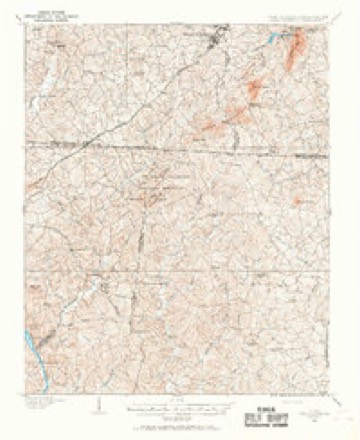
18 topographic sheets cover this place, the earliest surveyed in 1906 and the latest in 1991. It stands in the Clover census division. It lies in ZIP code area 29710. The Survey maps it on the Filbert quadrangle.
On record in Bethany
Buildings and businesses the archive holds for this place. Each opens its own page, with the source record it came from.
On the National Register 1 record
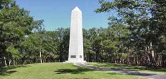 Kings Mountain National Military Parklisted 1966
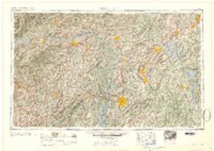
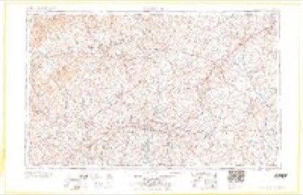
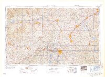
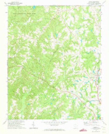
Topographic sheets covering this place
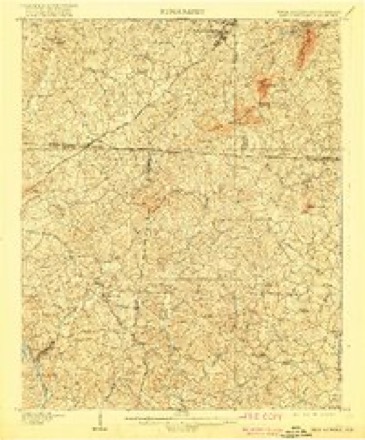
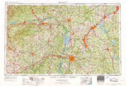
9 surveys from 18 printed sheetsMatched by testing this settlement's coordinate against the published boundary of every sheet in the United States Geological Survey's historical collection. Each opens the scanned sheet at the Survey.
- 1906 USGS Kings Mountain quadrangle1:62500
- 1908 USGS Kings Mountain quadrangle1:62500, 6 printings
- 1953 USGS Charlotte quadrangle1:250000, 3 printings
- 1954 USGS Charlotte quadrangle1:250000, 2 printings
- 1960 USGS Charlotte quadrangle1:250000, 2 printings
- 1962 USGS Charlotte quadrangle1:250000
- 1971 USGS Filbert quadrangle1:24000
- 1986 USGS Gastonia quadrangle1:100000
- 1991 USGS Gastonia quadrangle1:100000
Fires near this place
98 since 1992Regional context, not property-specific evidence. The federal wildfire occurrence database lists 98 fires within 5 miles of Bethany between 1992 and 2019, burning about 240 acres in total. 2 started naturally. 3 were recorded as arson. Distance is straight-line from the map coordinates, so a fire counted here may appear on a neighbouring settlement's page as well.
| Reported cause | Fires |
|---|---|
| Missing data/not specified/undetermined | 36 |
| Debris and open burning | 35 |
| Equipment and vehicle use | 10 |
| Misuse of fire by a minor | 6 |
| Arson/incendiarism | 3 |
| Recreation and ceremony | 2 |
| Power generation/transmission/distribution | 2 |
| Smoking | 2 |
| Natural | 2 |
The most recent of them, most recent first, with the day each was reported and the service that recorded it.
| Date | Cause | Size | Reported by | Name on the report |
|---|---|---|---|---|
| 8 September 1997 | Debris and open burning | under an acre | South Carolina Forestry Commission | not named |
| 6 September 2007 | Missing data/not specified/undetermined | under an acre | North Carolina Forest Service | not named |
| 5 September 2007 | Equipment and vehicle use | 5.0 acres | South Carolina Forestry Commission | not named |
| 25 September 2010 | Equipment and vehicle use | under an acre | North Carolina Forest Service | COPPERHEAD |
| 2 September 1993 | Missing data/not specified/undetermined | 10 acres | South Carolina Forestry Commission | not named |
| 19 September 2007 | Debris and open burning | 8.0 acres | South Carolina Forestry Commission | not named |
| 14 September 1998 | Missing data/not specified/undetermined | 1.0 acres | South Carolina Forestry Commission | not named |
| 25 August 1992 | Missing data/not specified/undetermined | under an acre | South Carolina Forestry Commission | not named |
Settlements close enough to share some of these fires:
Mines and quarries near this place
10 of 35 shownRegional context, not property-specific evidence. The federal mineral resources record lists 35 workings within 5 miles of Bethany: 17 unknowns, 14 past producers, 3 prospects, 1 occurrence. None of them still produces. What was taken out: Gold, Barium-Barite, Kyanite, Gold, Copper. Distance is straight-line from the map coordinates, so a quarry counted here may appear on a neighbouring settlement's page as well.
| Where | Site | Commodity | Status | Recorded |
|---|---|---|---|---|
| Allison Prospect | Gold, Sulfur, Copper | Prospect | ||
| Ford Biotite Granite Quarry | Stone | Unknown | 1900 | |
| Granite Quarry | Granite | Unknown | Intrusive Granite | |
| Henry Knob Mine | Kyanite, Iron-Pyrite | Past Producer | 1846, 1948, 1969 | |
| Ryan-Purcley Sillimanite Property | Kyanite, Quartz | Unknown | Stratabound | |
| Unnamed Granite Quarry Fl-039 | Stone, Crushed/Broken | Past Producer | Igneous | |
| Allison Prospect | Gold, Copper | Unknown | 1908 | |
| Ellis Mine | Gold, Copper | Unknown | 1934, 1935 | |
| Ellis Mine | Iron | Past Producer | ||
| Ferguson Mine | Gold, Sulfur | Past Producer |
Storms near this place
23 since 1996Regional context, not property-specific evidence. The National Weather Service names Bethany in 23 storm reports between 1996 and 2024: 13 thunderstorm wind, 7 hail, 2 tornado, 1 flash flood. The reports record 4 injuries. Each account below is quoted exactly as the forecast office filed it, from the NOAA Storm Events Database, and each date opens the federal record of that event.
| When | Event | Place named | Harm | What the report says |
|---|---|---|---|---|
| March 1996 | Thunderstorm Wind | Bethany | 4 hurt, $10,000 | no account filed |
| December 2024 | Tornado (EF0) | Bethany | - | NWS damage survey found the path of en EF0 tornado that began along Highway 161 just south of the intersection with Highway 55 where several trees were uprooted. The tornado moved northeast, crossing Wilmoth Rd, Beamguard Rd and Highway 55 where additional trees were uprooted and large limbs snapped. The tornado dissipated shortly after crossing Knox Rd. |
| May 2022 | Hail | Bethany | - | Spotter reported golf ball size hail near Kings Mountain State Park. |
| August 2022 | Thunderstorm Wind | Bethany | - | Park svc employee reported multiple trees blow down throughout Kings Mountain National Military Park. |
| May 2016 | Thunderstorm Wind | Bethany | - | Ham radio operator reported numerous trees from the Kings Mountain State Park area to Clover. |
| June 2014 | Hail | Bethany | - | Spotter reported pea to quarter size hail at Whitworth Rd and Highway 161. |
| January 2014 | Thunderstorm Wind | Bethany | - | Multiple trees and power lines were blown down across the northern portion of the county. |
| July 2012 | Thunderstorm Wind | Bethany | - | A tree was blown down at highway 55 and Henry Knob Rd and another tree was blown down at highway 55 and 161 a few miles to the west of Clover. |
| May 2011 | Tornado (EF0) | Bethany | - | A short tornado track was found, embedded within downburst wind damage, in the Knox Rd area of York County. Multiple trees fell in a concentrated area, with one tree on a recreational vehicle. A home also incurred some minor damage. |
| April 2011 | Hail | Bethany | - | Golf ball size hail fell at Kings Mountain State Park. |
| February 2011 | Thunderstorm Wind | Bethany | - | Trees were blown down about three miles west of Clover. |
| August 2011 | Thunderstorm Wind | Bethany | - | Multiple trees were blown down from Kings Mountain State Park to the Bethany area. |
| May 2011 | Thunderstorm Wind | Bethany | - | Widespread tree damage extended from the North Carolina border west of Clover, across Clover, to Lake Wylie, to Rock Hill and Fort Mill. Numerous trees fell on vehicles, homes and other structures and blocked roads. Although structural damage was mainly limited to falling trees, some direct damage occurred, especially in the Clover area, where the roof was blown off a church. Awnings were also blown off some businesses in the Lake Wylie and Rock Hill areas. Some areas were without power for two days or more. |
| June 2009 | Thunderstorm Wind | Bethany | - | Numerous trees were blown down in the area around Kings Mountain National Park.|A tree was also blown down on highway 55 near the Ce Stewart Rd intersection. |
| June 2009 | Hail | Bethany | - | Hail reported on highway 55 near the Ce Stewart Rd intersection. |
| February 2009 | Thunderstorm Wind | Bethany | - | Two trees were blown down near the intersection of Bush Rd and highway 55. |
| August 2008 | Flash Flood | Bethany | - | Oak Park Rd was flooded by Tools Fork Creek and Reese Roach Rd was also flooded at McConnells Highway in the same area. Old Limestone Rd was closed at Southbend Rd and Portions of highway 72 were covered with water from Stoney Fork Creek. |
| May 2012 | Hail | Bethany | - | no account filed |
| June 2005 | Hail | Bethany | - | no account filed |
| July 1999 | Thunderstorm Wind | Bethany | - | no account filed |
| May 1998 | Hail | Bethany | - | no account filed |
| July 1998 | Thunderstorm Wind | Bethany | - | no account filed |
| February 1997 | Thunderstorm Wind | Bethany | - | no account filed |
Nearest settlements
The eight closest, with where each one stands in the county. Distances are straight-line, computed from the Geographic Names Information System coordinates.
| Map | Place | Distance | Sheets |
|---|---|---|---|
| Zadok (historical) | 3.0 miles | 18 | |
| Clover | 4.2 miles | 14 | |
| Filbert | 5.5 miles | 18 | |
| Bowling Green | 5.5 miles | 15 | |
| Beersheba | 5.5 miles | 18 | |
| Piedmont Springs | 5.9 miles | 20 | |
| Smyrna | 7.4 miles | 20 | |
| Bethel (historical) | 8.3 miles | 14 |
Provenance
This settlement is recorded in the Geographic Names Information System as feature 1220522. The sheet list is computed by point-in-boundary test against the United States Geological Survey's historical topographic inventory. Both are works of the United States government and carry no copyright under 17 U.S.C. 105.
Wildfire. Short, Karen C. 2022. Spatial wildfire occurrence data for the United States, 1992-2020 [FPA_FOD_20221014]. 6th Edition. Fort Collins, CO: Forest Service Research Data Archive. https://doi.org/10.2737/RDS-2013-0009.6 Collected with United States Government funding and usable without additional permissions or fees.
Mines and quarries. USGS Mineral Resources Data System (MRDS) https://mrdata.usgs.gov/mrds/ A work of the United States government, no copyright under 17 U.S.C. 105.
Storms. NOAA National Centers for Environmental Information, Storm Events Database https://www.ncei.noaa.gov/stormevents/ A work of the United States government, no copyright under 17 U.S.C. 105. Narratives are quoted verbatim from the National Weather Service report and are not edited or summarised.