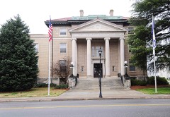
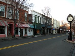
Block
From the record
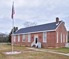
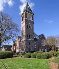
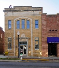
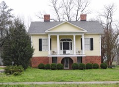
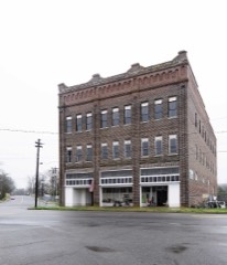
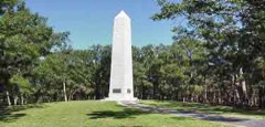
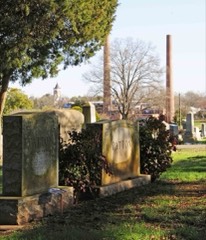
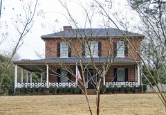
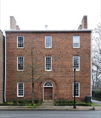
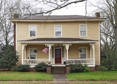
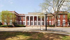
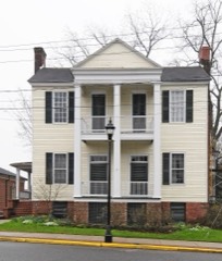
62 National Register listings published here.
Sources: the National Register database, National Park Service
82 topographic sheets and 22 fire insurance atlases across 4 places.
62 National Register listings published here.
Sources: the National Register database, National Park Service
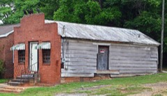
Taken for the Office of War Information and the Farm Security Administration, who photographed the country between 1935 and 1944. Works of United States government photographers, with no known restriction on use. Each opens its catalogue record.
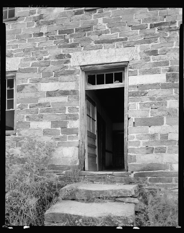
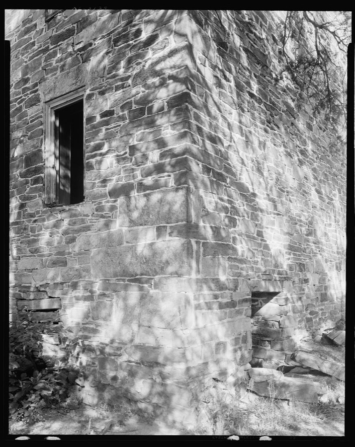
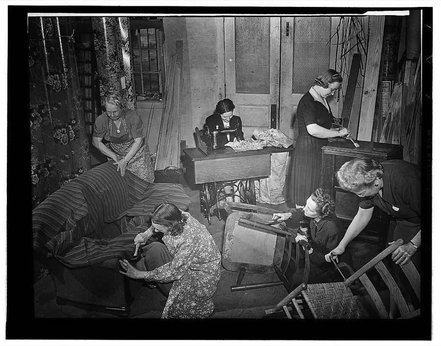
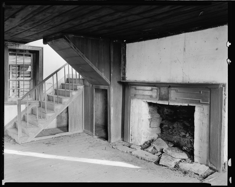
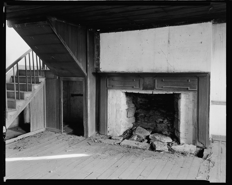
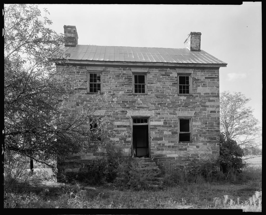
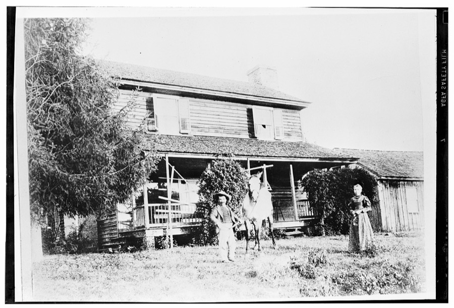
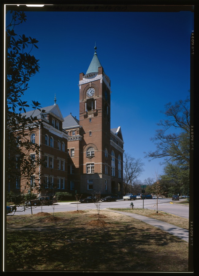
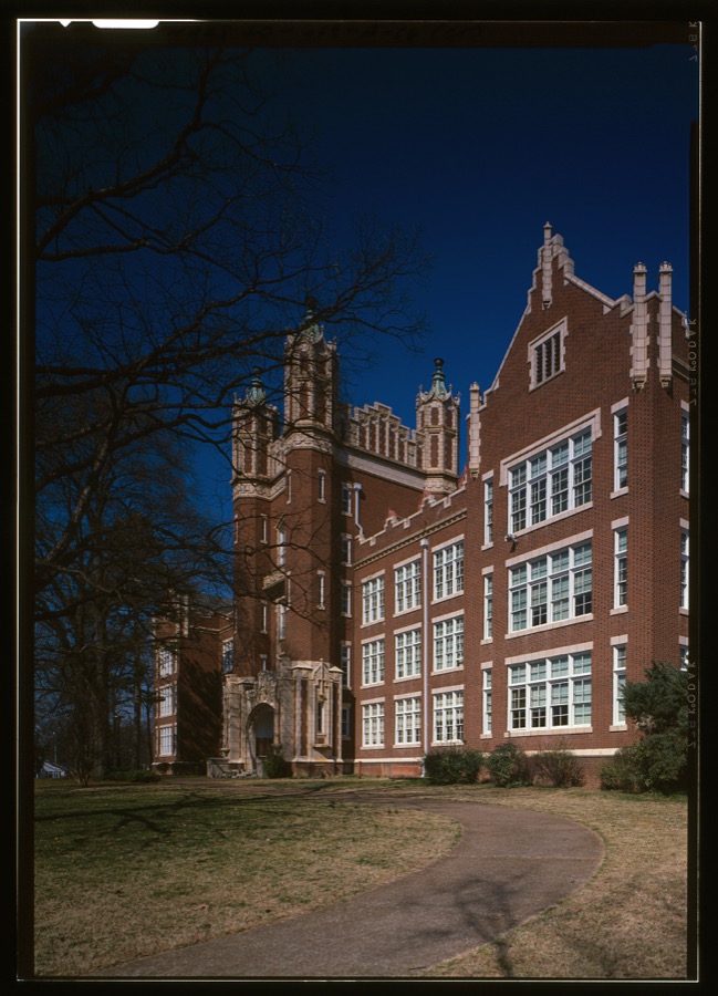
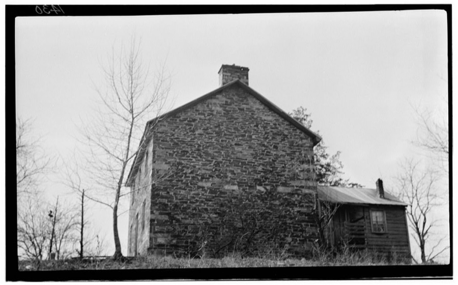
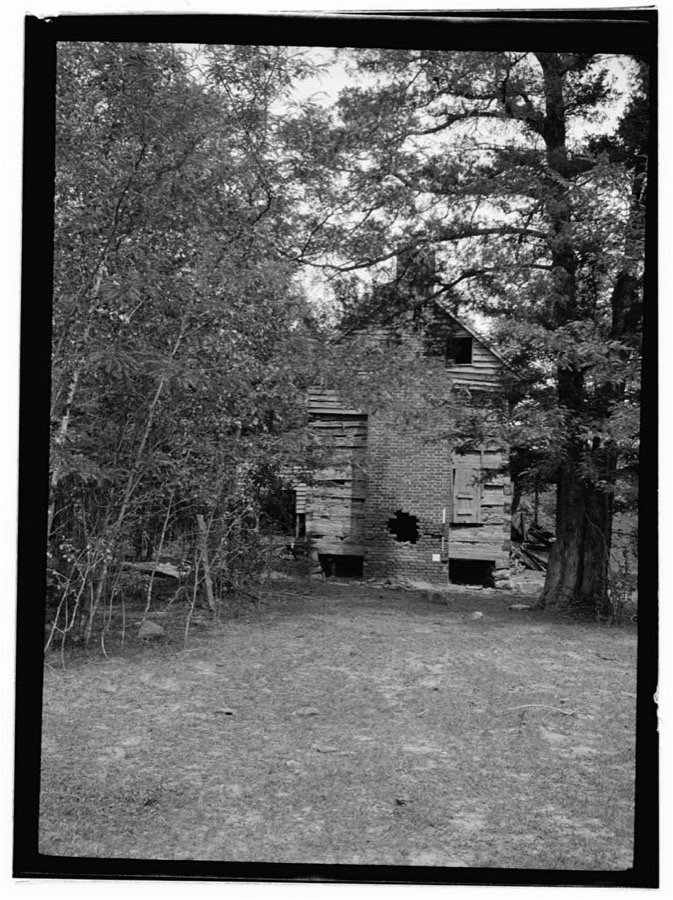
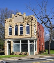
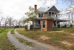
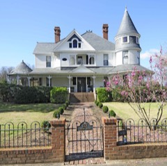
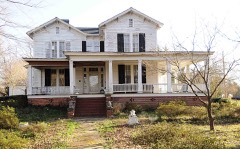
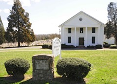
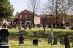
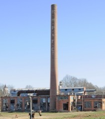
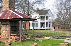
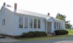
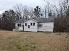
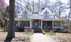
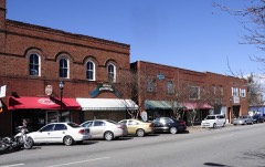
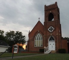
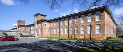
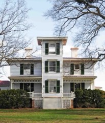
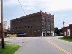
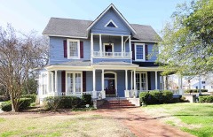
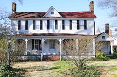
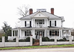
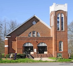
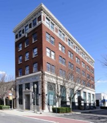
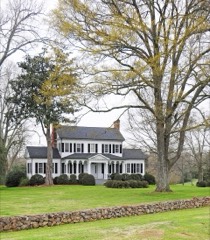
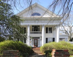
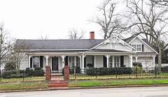
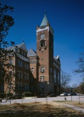
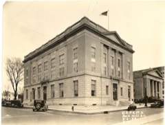
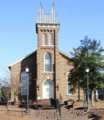
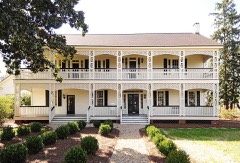
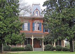
Every property in this county listed on the National Register of Historic Places, with the year it was listed and the federal nomination document.
Sampled issues, machine-read from the Library of Congress scan and published page by page, so every headline and column is searchable text.
Rock Hill, S.C., 1896 to 1921. Machine-read from the Library of Congress scan.
Fort Mill, S.C., 1892 to 2020. Machine-read from the Library of Congress scan.
Fort Mill, S.C., 1890 to 1892. Machine-read from the Library of Congress scan.
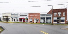
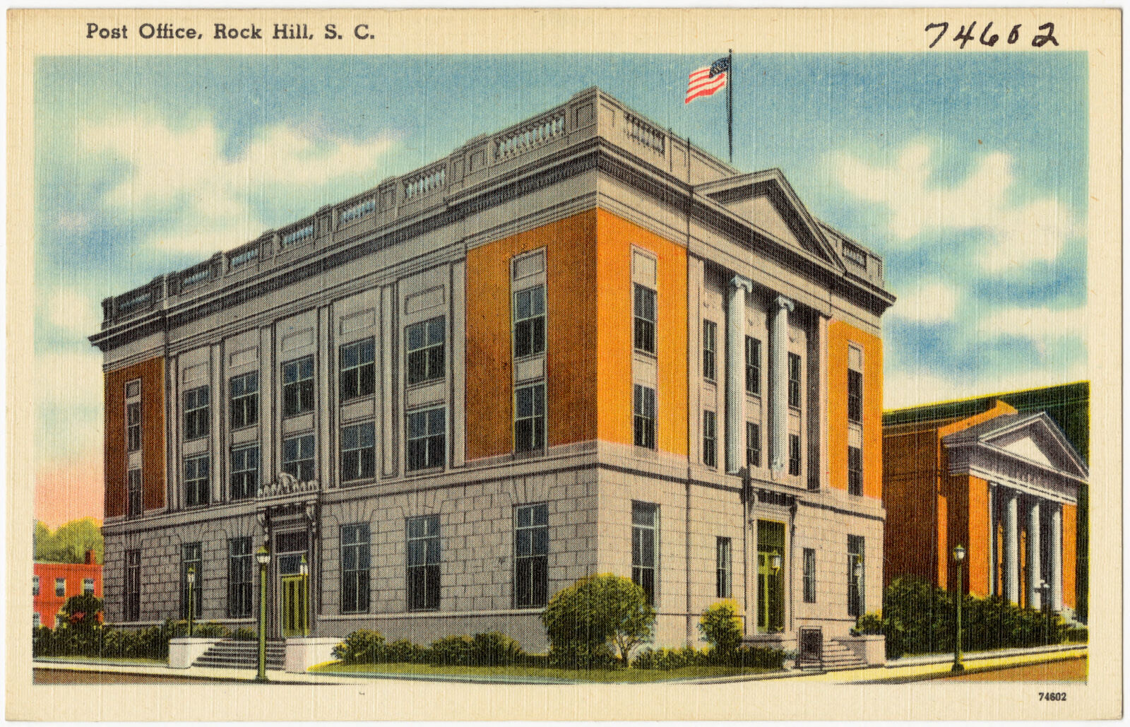
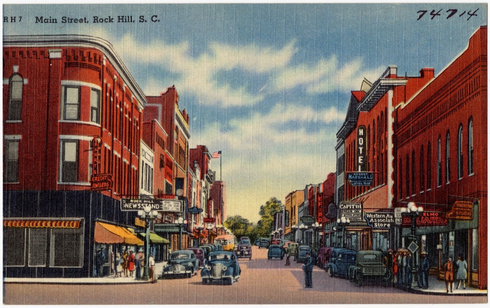
Selected from the Digital Public Library of America's 2 image records catalogued for this county. Every one shown here carries a public-domain status or a licence that permits reuse on a site that carries advertising; non-commercial, share-alike and restricted images are excluded. The selection is spread across the county's towns (at most eight per town), so no single institution's bulk upload crowds out the rest. Each opens the holding library's record, and the complete set at the Digital Public Library of America is one click away.
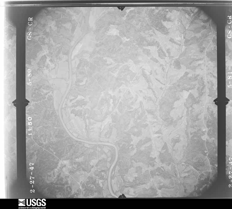
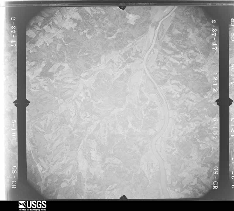
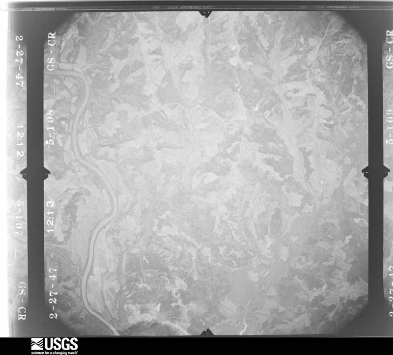
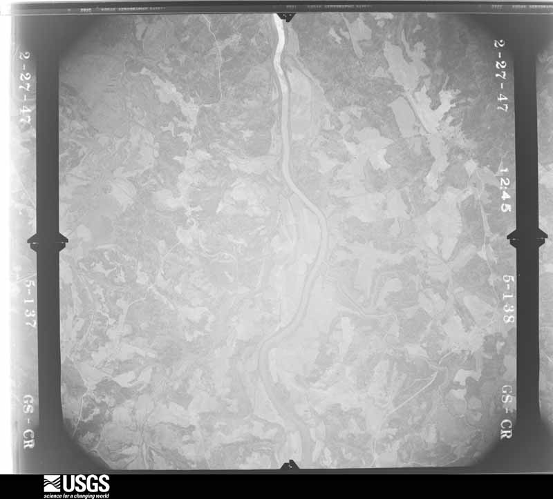
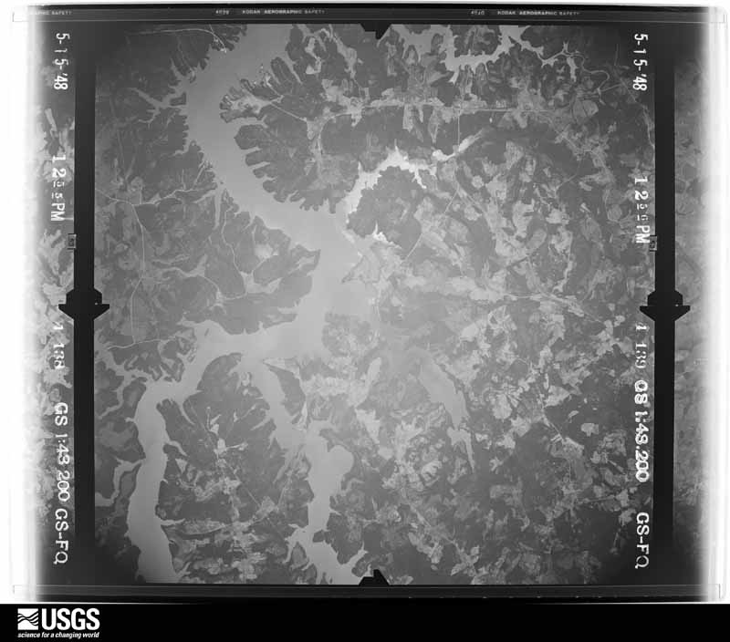
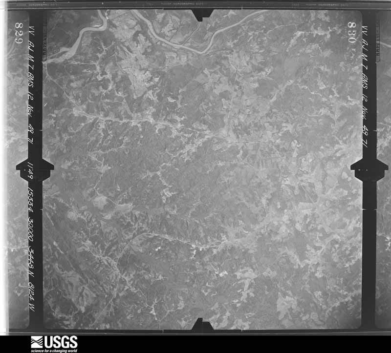
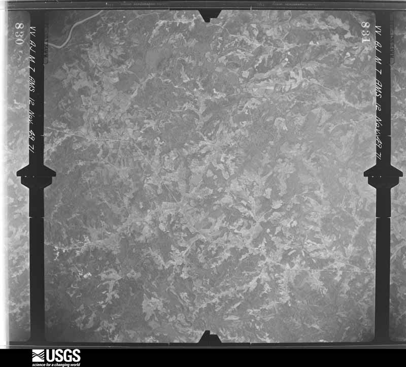
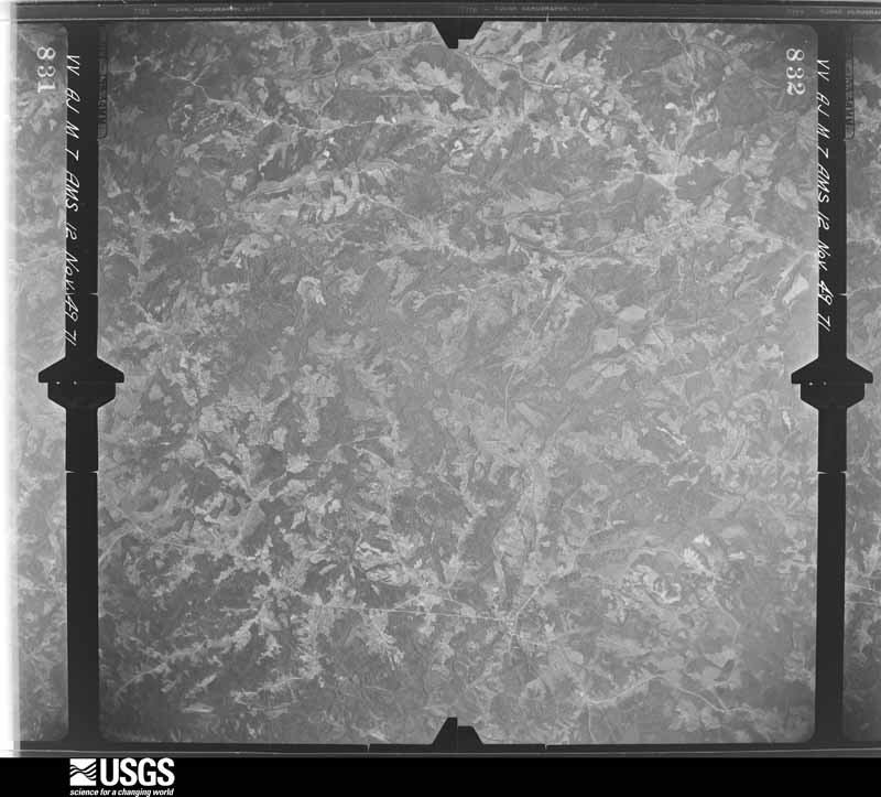
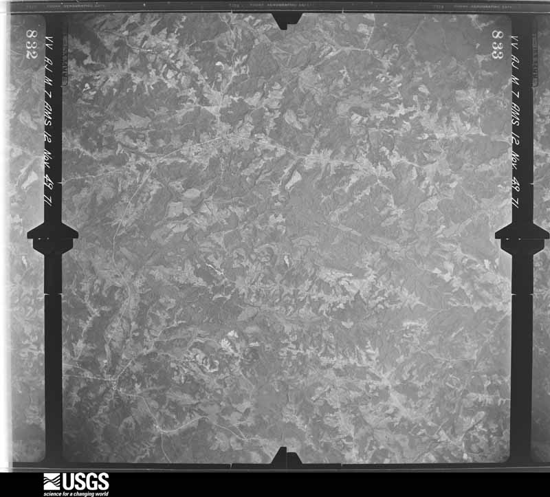
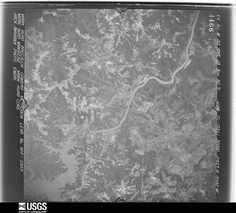
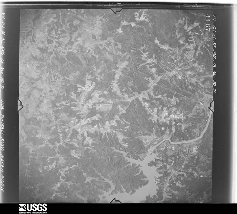
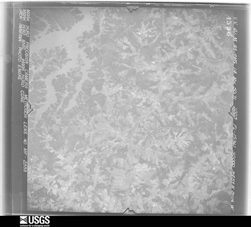
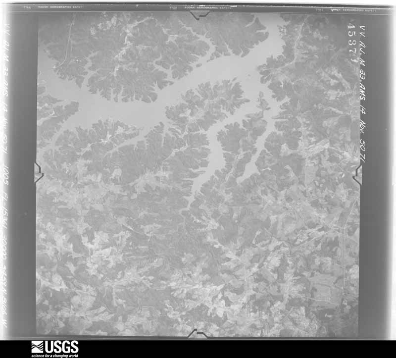
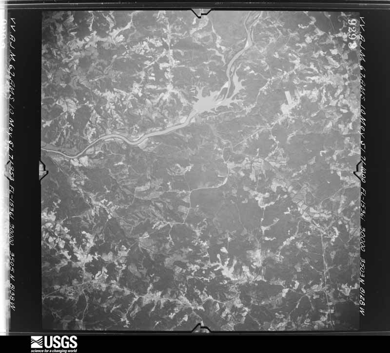
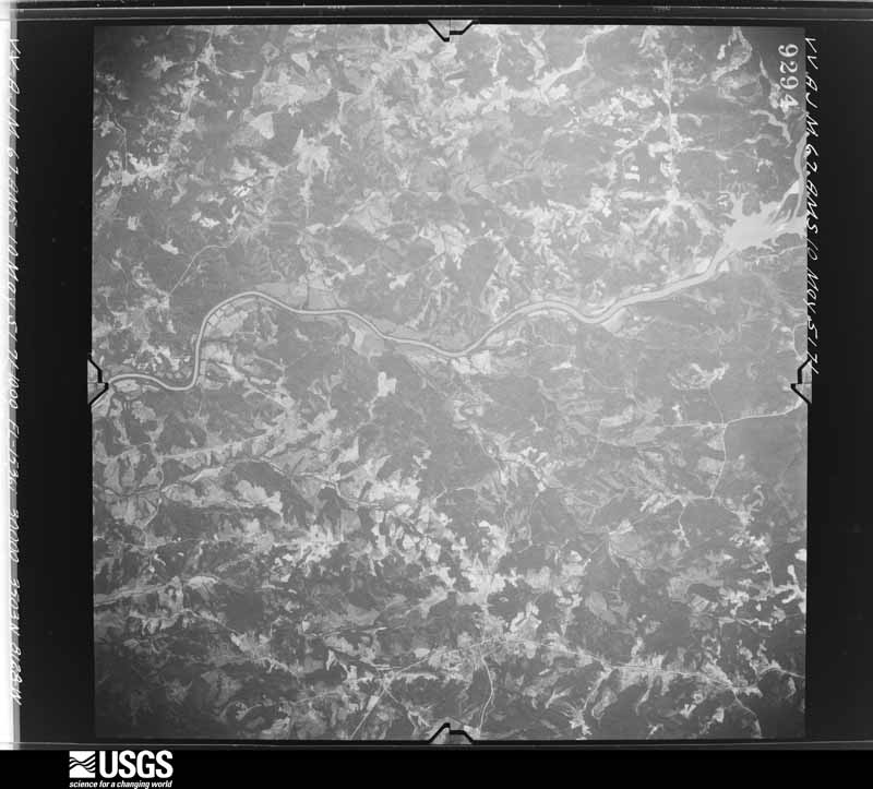
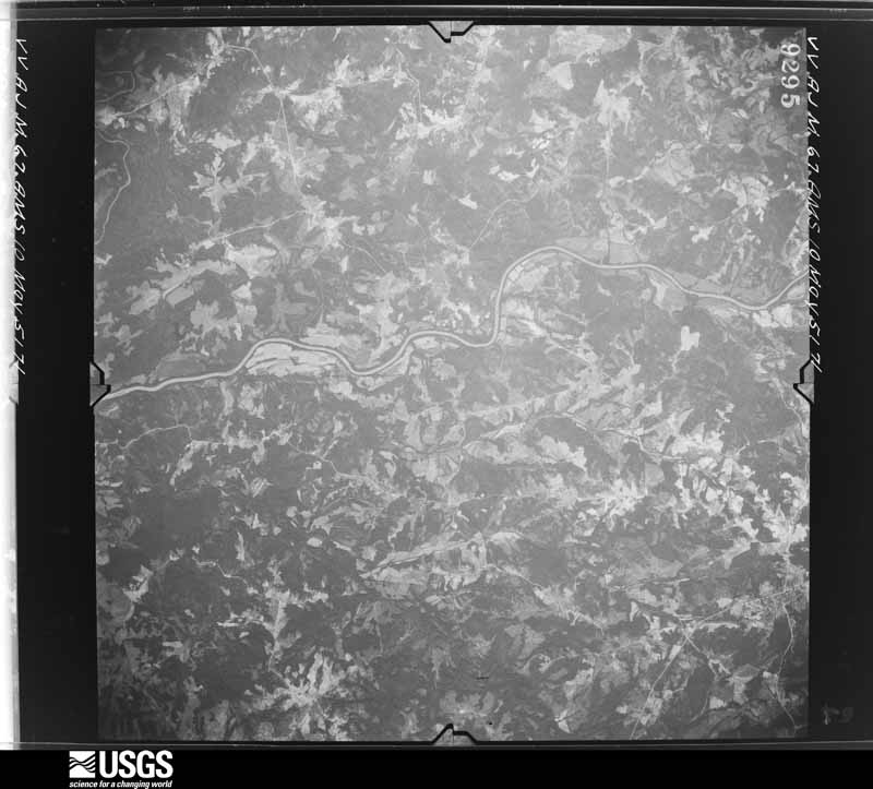
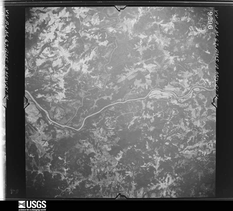
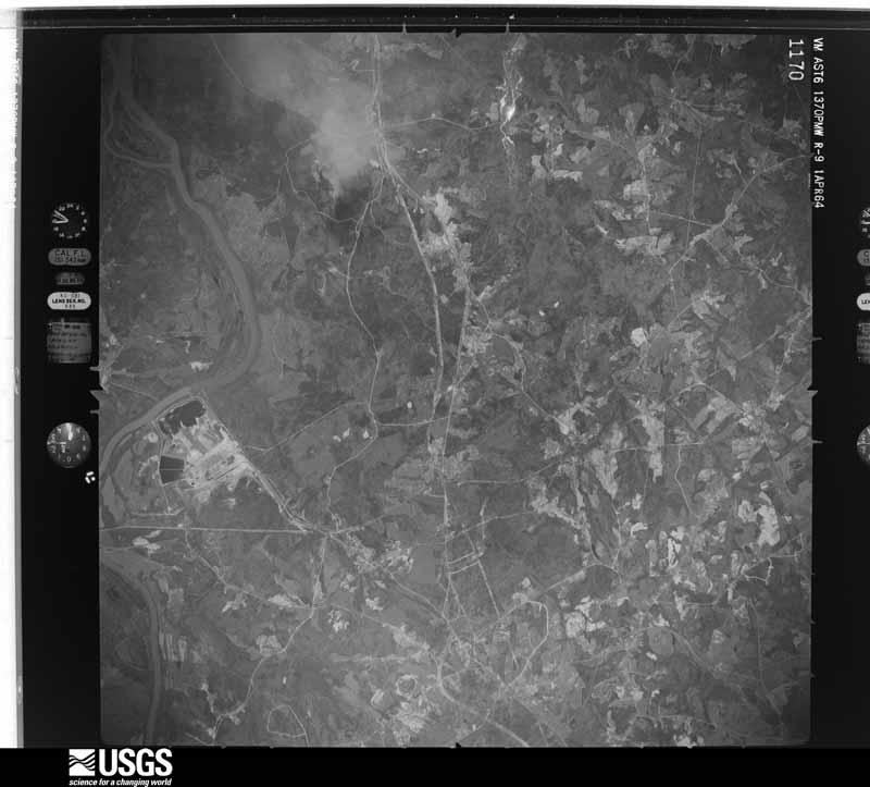
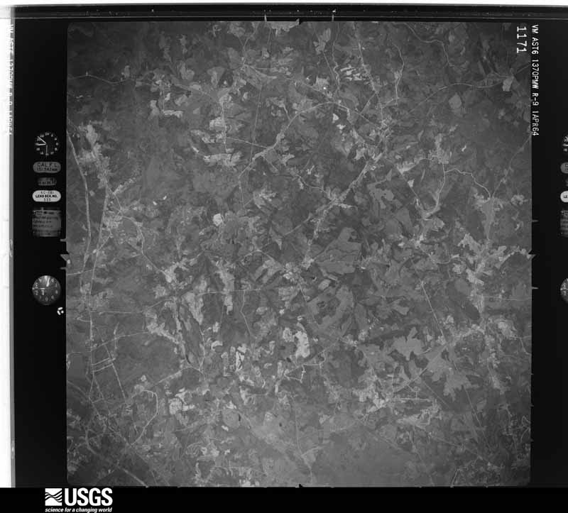
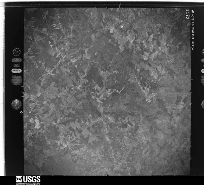
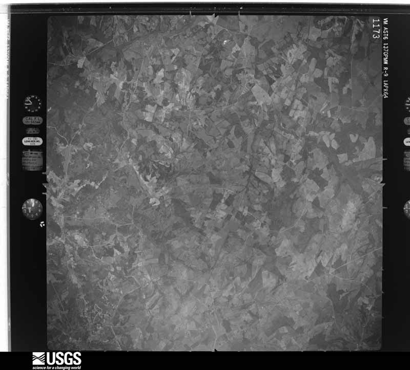
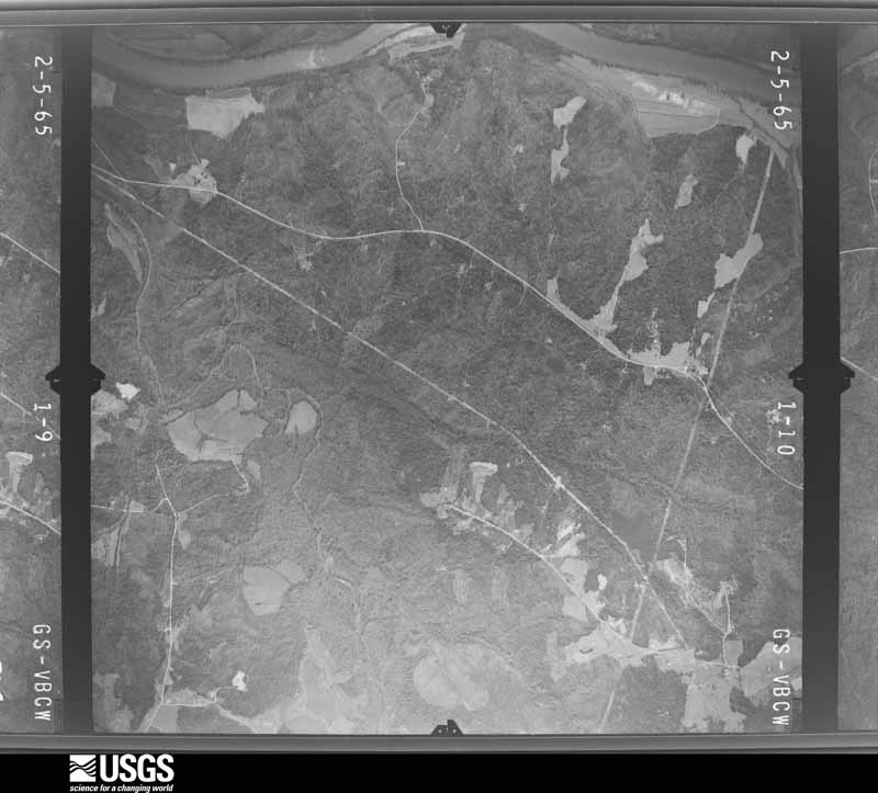
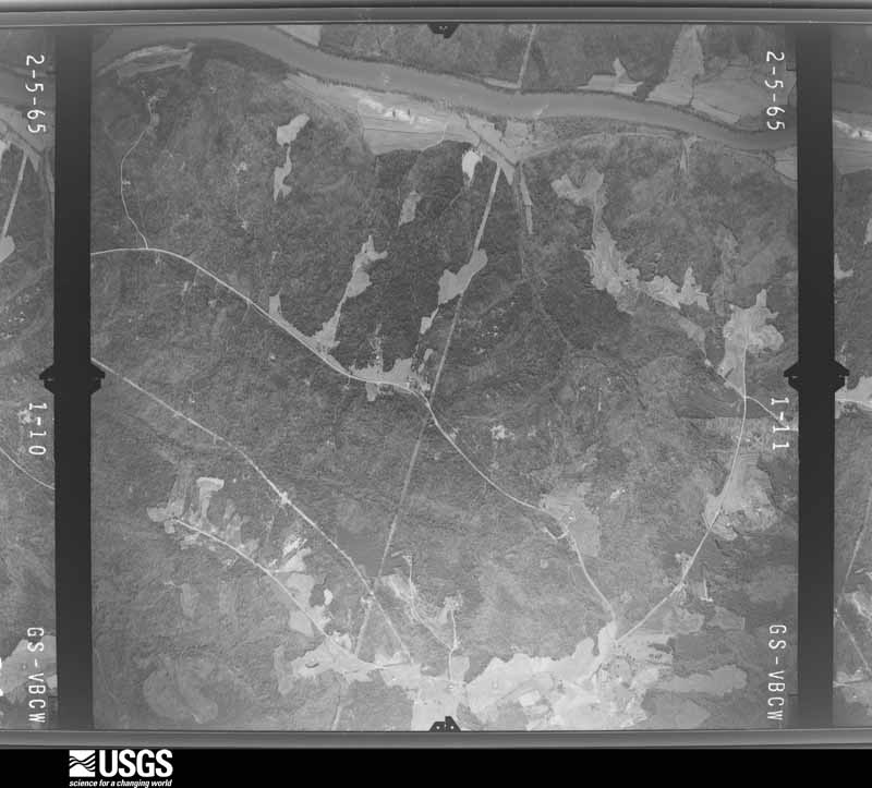
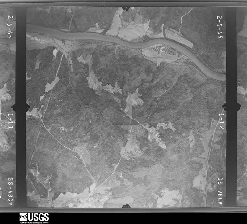
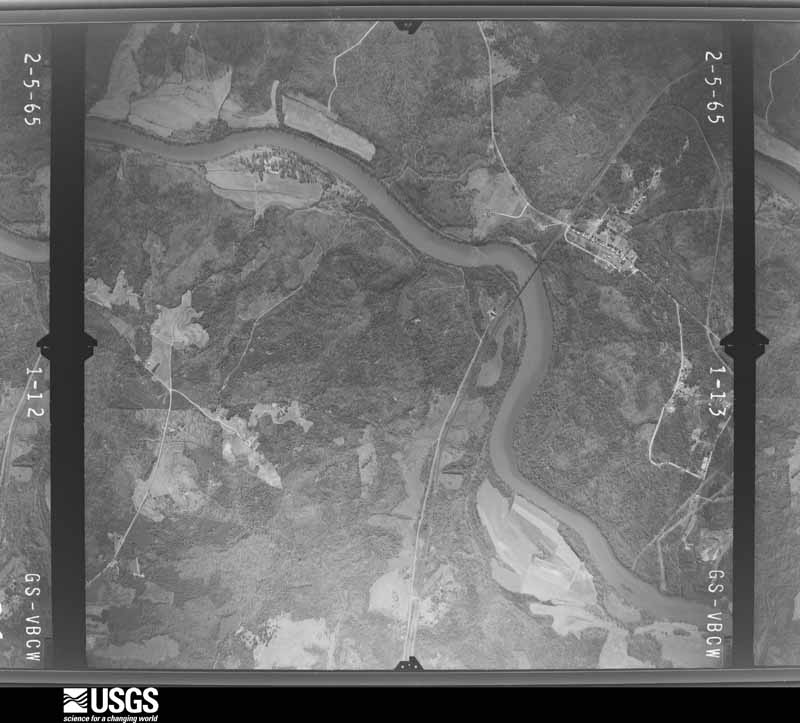
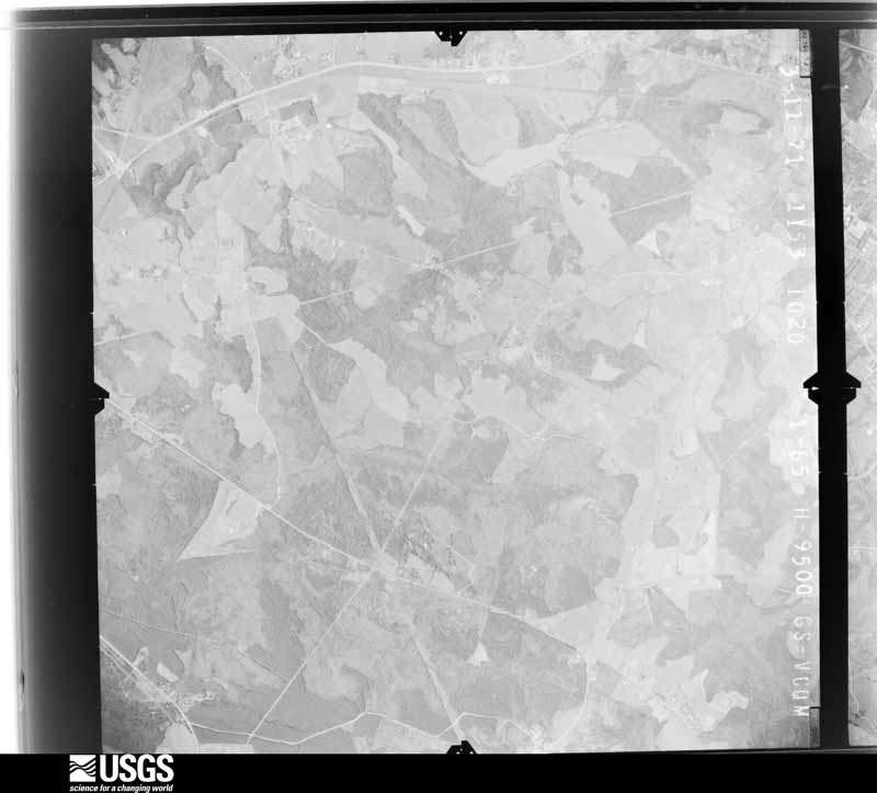
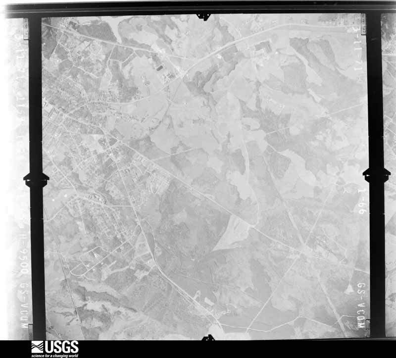
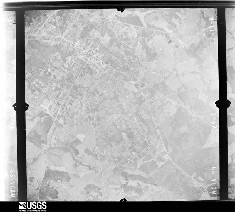
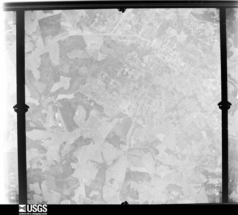
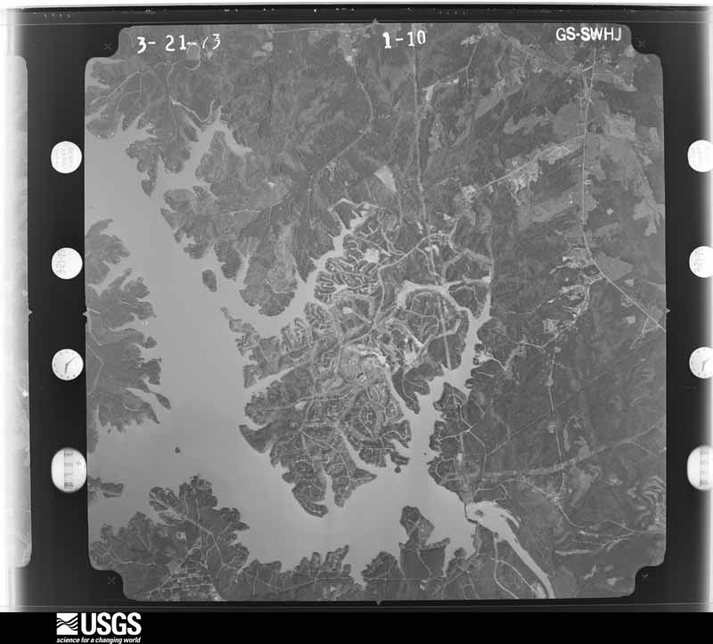
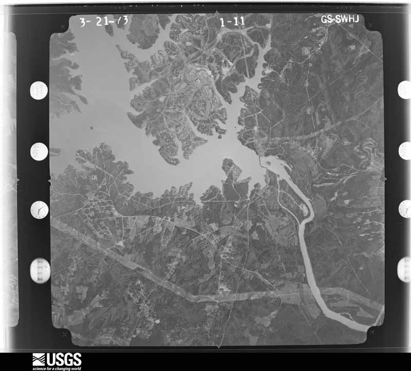
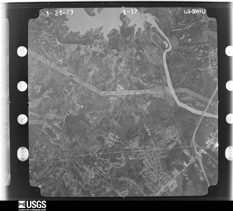
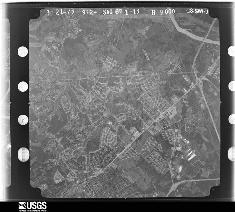
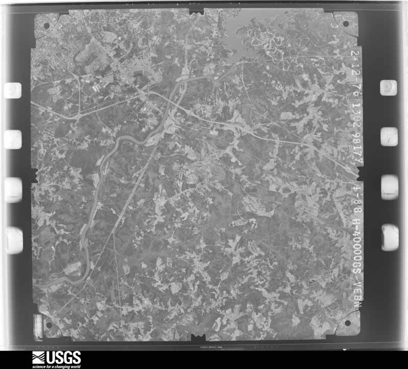
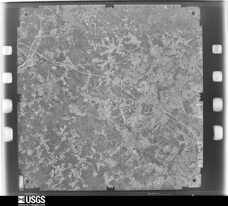
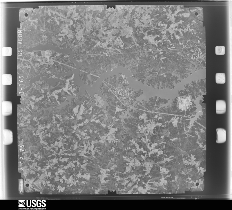
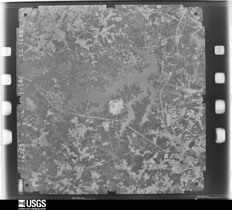
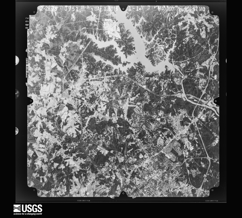
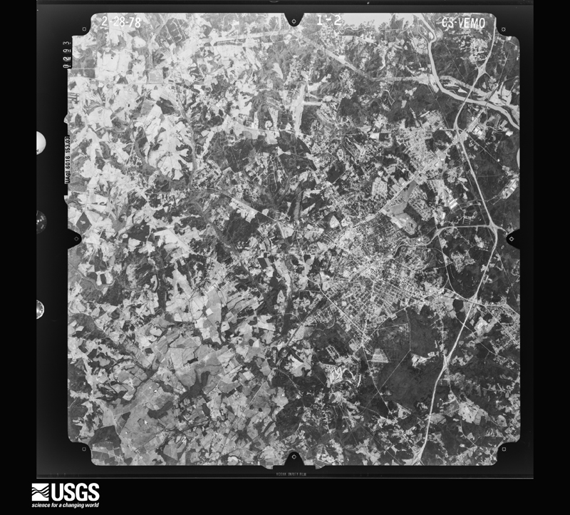
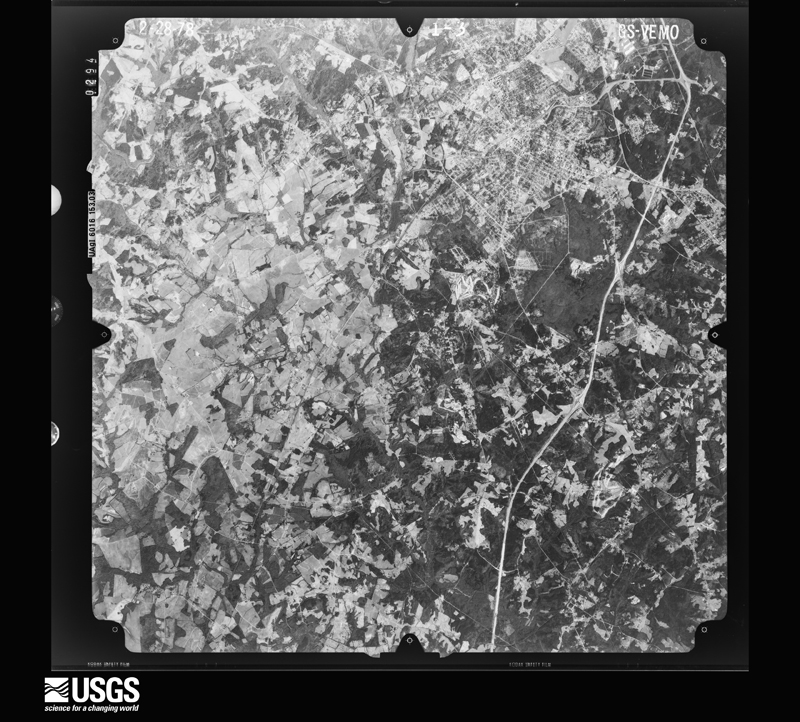
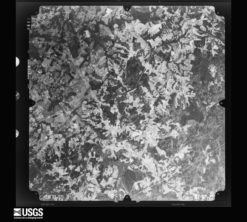
Flown by the U.S. Geological Survey between 1937 and 1989, the Aerial Photo Single Frames collection is the definitive mid-century view of the land: fields, roads and rivers as the camera saw them. The Survey holds 1,203 frames inside the rectangle that bounds this county; the 48 frames below were taken over the county itself, chosen across the decades of flights (at most four a year from that rectangle), so one flight cannot crowd out the rest. The full set is free to browse and download at EarthExplorer under the dataset Aerial Photo Single Frames.
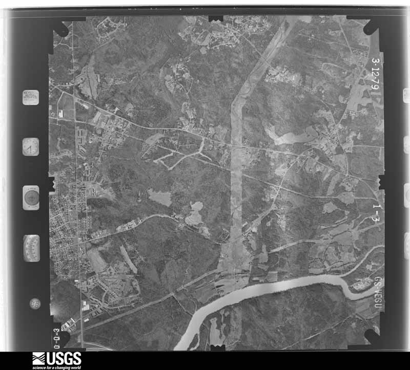
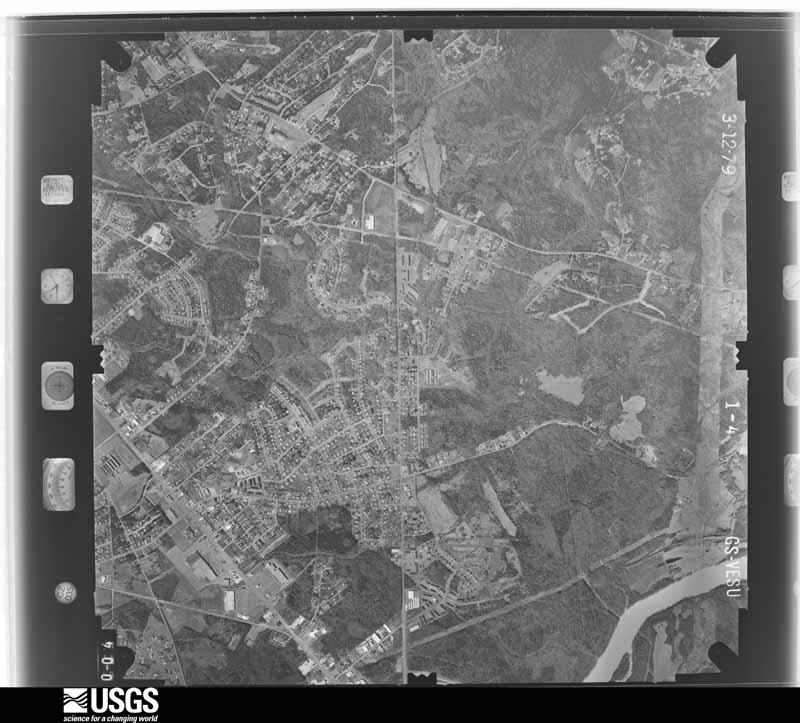
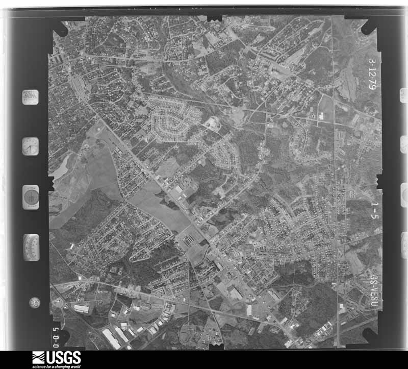
The thermometers that kept this county's weather, and the gages that measured the flow of its streams, as the federal records hold them. The extremes below are measured values from those records, not estimates.
Who lived here in 1950, one enumeration district at a time, as the Census Bureau described each district. Each row opens its official National Archives result, with Population Schedules and ED Maps available there.
Every wildfire the federal occurrence database records inside this county: 754 of them, burning about 2,583 acres. 9 started naturally and 46 were recorded as arson. Each settlement page carries the fires within five miles of it.
| Reported cause | Fires |
|---|---|
| Missing data/not specified/undetermined | 326 |
| Debris and open burning | 226 |
| Misuse of fire by a minor | 60 |
| Equipment and vehicle use | 46 |
| Arson/incendiarism | 46 |
| Smoking | 14 |
| Railroad operations and maintenance | 10 |
| Recreation and ceremony | 10 |
| Natural | 9 |
| Other causes | 4 |
| Power generation/transmission/distribution | 2 |
| Fireworks | 1 |
The five largest, by the area the report gives. One of them was set deliberately.
| Date | Cause | Size | Reported by | Name on the report |
|---|---|---|---|---|
| 20 July 1993 | Missing data/not specified/undetermined | 140 acres | South Carolina Forestry Commission | not named |
| 14 April 1992 | Missing data/not specified/undetermined | 60 acres | South Carolina Forestry Commission | not named |
| 11 March 2004 | Missing data/not specified/undetermined | 60 acres | South Carolina Forestry Commission | not named |
| 19 February 2011 | Debris and open burning | 50 acres | South Carolina Forestry Commission | not named |
| 20 February 2008 | Arson/incendiarism | 42 acres | South Carolina Forestry Commission | not named |
| 5 July 1993 | Missing data/not specified/undetermined | 35 acres | South Carolina Forestry Commission | not named |
| 23 October 2000 | Debris and open burning | 30 acres | South Carolina Forestry Commission | not named |
| 1 September 2011 | Missing data/not specified/undetermined | 30 acres | South Carolina Forestry Commission | not named |
Every settlement page carries the fires within five miles of it - see the settlement index below.
The NOAA Storm Events Database holds 614 reports for this county, causing 7 deaths, 21 injuries and about $36,324,550 in recorded property damage. Each settlement page carries the reports that name it.
| Kind of event | Reports |
|---|---|
| Thunderstorm Wind | 338 |
| Hail | 178 |
| Flash Flood | 26 |
| Tornado | 25 |
| Lightning | 20 |
| Flood | 18 |
| Heavy Rain | 9 |
The most serious of them, by death, then injury, then recorded damage. The accounts are quoted exactly as the forecast office filed them.
| When | Event | Place named | Harm | What the report says |
|---|---|---|---|---|
| November 2011 | Tornado (EF2) | Mc Connells | 3 killed, 5 hurt, $1,000,000 | The tornado that touched down near Lowrys in extreme northern Chester County moved into York County southeast of McConnells, just east of Darby Rd. The damage path was non-continuous for the first three miles of its track across York County, although open farmland made it difficult to determine if the tornado was in constant contact with the ground in this area. Damage was generally confined to scattered downed trees. Damage intensified as the tornado approached the Williamson Rd area, near its intersection with Erby Rd, where tree damage became more concentrated. The tornado became very strong and increased in size as it approached and crossed highway 324 in the Ogden Community, near its intersection with Skyline Rd and Williamson Rd. Around a dozen homes were damaged in this area, with one double-wide mobile home being rolled about 75 yards. Two occupants of this home were killed. Another man was killed when the roof of his home was blown off, causing a chimney to collapse on him. Five other people were injured in the Ogden area. A number of sheds and outbuildings were damaged or destroyed and several automobiles were also flipped. The tornado lifted east of Skyline Rd, just short of Vernsdale Rd. The tornado was the strongest to hit York County in almost 40 years, and was the county's first known killer tornado since 1926. The thunderstorm that spawned the tornado was a mini-supercell that traveled over 110 miles before dissipating shortly after the second tornado lifted. |
| February 2020 | Thunderstorm Wind | Boyd Hill | 1 killed, $25,000 | EM reported a tree was blown down on a moving vehicle on Pleasant Rd in Fort Mill killing the 80-year-old female driver. Other trees were blown down in Rock Hill, including a large tree that fell across three parked vehicles on Park Ave. |
| May 2002 | Thunderstorm Wind | Ft Mill | 1 killed, $3,000 | Numerous trees and powerlines were blown down in the Tega Cay area. An 86-year-old woman was killed on the morning of the 14th, when a tree, apparently weakened by the strong winds, fell on her. |
| August 2006 | Lightning | York | 1 killed | Lightning struck and killed a 36-year-old man on Golden Pond Dr. |
| July 2002 | Lightning | Clover | 1 killed | Lightning struck a tree, which fell on and killed a bicyclist. |
| March 1975 | Tornado (F1) | not stated | 5 hurt, $250,000 | no account filed |
| March 1996 | Thunderstorm Wind | Bethany | 4 hurt, $10,000 | no account filed |
| May 1973 | Tornado (F2) | not stated | 2 hurt, $250,000 | no account filed |
| March 1994 | Tornado (F1) | Clover | 1 hurt, $500,000 | Tornado developed near North Carolina/South Carolina border and moved into North Carolina within a short distance from where Highway SC49 crosses North Carolina line at 1844 EST. One mobile home in the Lake Wylie Mobile Home Park along Stateline Road was completely destroyed with debris scattered in a cyclonic pattern. Several other mobile homes were heavily damaged, an outbuilding completely disappeared, many trees were downed and one person injured. The tornado apparently developed from the same storm that earlier had caused spotty damage across the County. |
| April 2011 | Thunderstorm Wind | Hickory Grove | 1 hurt | County comms reported numerous trees blown down across the county. Around a dozen homes were damaged by falling trees. One woman was injured on Owens Rd in York when a tree fell on her home. Several other homes were damaged or destroyed in|the York area. Other homes damaged by falling trees included a home near downtown Rock Hill and two homes on Lakeview Dr in Fort Mill. The ASOS at the Rock Hill airport measured a 58 mph gust at 1:00 AM. |
| July 1999 | Thunderstorm Wind | Mc Connells | 1 hurt | no account filed |
| May 1996 | Lightning | Rock Hill | 1 hurt | no account filed |
| February 1985 | Thunderstorm Wind | not stated | 1 hurt | no account filed |
| April 2024 | Hail | York | $25,000,000 | Multiple sources reported an almost continuous swath of very large hail ranging from 2-inch diameter up to baseball size from the city of York through the city of Rock Hill. Intense downbursts producing wind gusts as high as 90 mph resulted in areas of wind-driven hail that produced extensive damage to structures and vehicles. The largest hail and most intense damage was in the city of Rock Hill, especially just south of the city center. Extensive roof damage, blown out windows, and facade/siding damage shredded by very large hail resulted in more than a dozen structures being considered a total loss. Hundreds of other structures experienced at least minor damage. Thousands of vehicles were damaged or destroyed. A few minor injuries also occurred. |
| May 2014 | Hail | Rock Hill | $3,000,000 | National Severe Storms Lab relayed multiple public reports of up to golf ball size hail on the north side of Rock Hill. |
| April 2024 | Thunderstorm Wind | Ebenezer | $1,000,000 | Within a larger swath of wind damage, an especially intense downburst producing wind gusts of around 90 mph developed over the city of Rock Hill. Mostly minor structural damage due solely to wind occurred to hundreds of structures, mainly just south of the city center. Wind-driven very large hail further exacerbated the damage (see York County large hail entry for more info). |
| May 2014 | Hail | York | $1,000,000 | National Severe Storms Lab relayed multiple public reports, corroborated by spotters and law enforcement, of up to golf ball size hail with a second severe thunderstorm that tracked from the city of York, across the north side of Rock Hill to near Tega Kay and Ft Mill. |
| April 2024 | Thunderstorm Wind | York | $500,000 | NWS storm survey found a virtually continuous path of downburst damage from the city of York, southeast across the city of Rock Hill, across the Catawba community to the Lancaster County border. Widespread trees and power lines were blow down along this path. Numerous homes experienced mostly minor structural damage. |
| March 1994 | Thunderstorm Wind | Clover | $500,000 | Downburst winds during a thunderstorm destroyed a mobile home, damaged a nearby residence and destroyed outbuilding and felled trees on C.E. Stewart Road about 7 miles WSW of Clover. |
| May 2021 | Tornado (EF1) | Smyrna | $350,000 | Nws storm survey found the path of a weak tornado along Highway 55 in far western York County. The tornado touched down in an open field just east of Clark Fork, before moving east northeast through a cluster of outbuildings at a farm site. One of these was completely destroyed, and two others severely damaged. 4000 turkeys housed here were killed. Two other buildings lost metal roof panels, and roof debris was carried along the path of the tornado. The only damage along the remainder of the path was numerous snapped and/or uprooted trees and downed limbs. The tornado lifted about one half mile west of the intersection of Highway 55 and Enon Church Rd. |
| August 1985 | Tornado (F1) | not stated | $250,000 | no account filed |
| August 1985 | Tornado (F0) | not stated | $250,000 | no account filed |
| May 1984 | Tornado (F1) | not stated | $250,000 | no account filed |
| July 1997 | Flash Flood | Ft Mill | $207,000 | no account filed |
| July 2008 | Lightning | Rock Hill Bryant Arp | $150,000 | Lightning struck a large house on Anchorage Lane, igniting a fire that destroyed much of the roof and the attic. |
| January 2010 | Flash Flood | Tirzah | $120,000 | Numerous roads were flooded, mainly across the eastern half of the county. This included highway 274, 10 miles north northwest of Rock Hill, which was impassable. A small creek overflowed its banks, flooding several townhomes located on highway 21 in the Fort Mill area. Severe urban flooding developed on the east side of Rock Hill, with 5 motorists requiring rescue from their automobiles at Red Rock Rd and Dave Lyle Bvd. Additionally, several stream gauges exceeded established flood stage across the|eastern half of the county, including Wildcat Creek and Big Dutchman Creek. Roads affected by these flooding streams include Mount Gallant Rd, West Oak Rd, McConnels Highway, and Ogden Rd. |
| August 2008 | Heavy Rain | Smyrna | $100,000 | Elevated stream levels on Wolf Creek caused a debris dam to form beneath a bridge on River Road, damaging the pilings and eventually causing it to collapse. |
| July 1998 | Thunderstorm Wind | York | $75,000 | no account filed |
| June 2022 | Thunderstorm Wind | Filbert | $50,000 | York County emergency management reported numerous trees blown throughout York County, from northwest of York to the southeast corner of the county. A tree fell on a structure on Propst Rd. Another tree fell across two vehicles near Northwestern High School in Rock Hill. Minor damage occurred to a factory building and a trailer was flipped on its side in the Catawba area. |
| April 2020 | Thunderstorm Wind | York | $50,000 | Public reported (via Social Media) a large oak tree toppled by wind on Devinney Rd, multiple trees down on Billy Wilson Rd and Park Place Rd in York, and trees down on a mobile home on Woodland Dr in Rock Hill. The ASOS at the Rock Hill Airport measured a wind gust of 64 mph (56 kts. Media reported additional trees down on Neely Store Rd southeast of Rock Hill. Other trees and limbs were blown down in the Carowinds area. |
| November 2020 | Flash Flood | Ft Mill | $50,000 | A stream gauge and the public reported flash flooding developed across York County after 3 to 5 inches fell across the eastern part of the county. Public reported a tributary of Sugar Creek overflowed its banks and inundated roads and buildings in the vicinity of Regent Parkway and Heritage Blvd. A stream gauge on Tools Fork Creek northwest of Rock Hill exceeded its established flood stage, indicating partial flooding of Highway 5. |
| April 2018 | Tornado (EF0) | Lake Wylie | $50,000 | NWS Storm Survey found the path of a weak tornado that began along Mountainview Road, where large tree branches were broken. The tornado moved very quickly northeast, crossing Highway 55, where it then passed through the Timberlake Subdivision. Several homes in the subdivision sustained roof, siding, and window damage. A number of hardwood trees were also uprooted, with large branches downed from others. A plastic fence also was destroyed. The tornado proceeded northeast, uprooting additional hardwood trees before dissipating near Kerrydale Ct. |
| July 2017 | Thunderstorm Wind | Boyd Hill | $50,000 | EM reported parts of roofs were blown off of three warehouse-style commercial buildings in the Rock Hill area. |
| August 2011 | Lightning | Smyrna | $50,000 | Lightning struck a home on Mason Montgomery Rd, starting a fire that destroyed most of the home's interior. |
| July 2008 | Thunderstorm Wind | Ft Mill | $50,000 | Trees and power lines were blown down, with one tree causing significant damage to a manufactured home on Hensley Rd. |
| July 2003 | Thunderstorm Wind | Rock Hill | $50,000 | Numerous trees, power lines, and power poles were blown down. One tree fell on a house, causing extensive damage. |
| May 2003 | Thunderstorm Wind | Rock Hill | $50,000 | Numerous trees and power lines were blown down, many of which fell on homes and vehicles. |
| May 2002 | Thunderstorm Wind | York | $50,000 | Numerous trees, including some large oak trees, were blown down, some onto vehicles and homes. |
| April 2001 | Thunderstorm Wind | Rock Hill | $50,000 | A large sign was blown down at Cherry Park. A new roof under construction at a church was blown off. Trees were downed, with at least one falling on a vehicle. |
| June 2001 | Lightning | Ft Mill | $50,000 | Lightning caused a couple of house fires, which heavily damaged the houses. |
| May 1995 | Tornado (F0) | not stated | $50,000 | Tornado moved from SC46-43 in southwest York northeastward to U.S. 321 in northern York. The tornado was mostly a "tree-topper" with four separate touchdowns. The first touchdown blew trees on a home, flattened a garage onto a car with total damage of 20K, The second touchdown destroyed a large lumber storage building at ACE Hardware and partially deroofed another causing a loss of $15,000. The third touchdown took down a grove of trees and sheared off the top of others. The last touchdown took half the roof off a building with a loss of $10,000. Thunderstorm blew down trees and power lines in Clover. |
| March 1994 | Thunderstorm Wind | Smyrna | $50,000 | Trees Down, power outages, and considerable other minor damage. |
| March 1994 | Thunderstorm Wind | Clover | $50,000 | Trees down, 2 barns destroyed, power lines down. |
| April 2016 | Flash Flood | Industrial | $45,000 | Multiple sources reported flash flooding developed in Rock Hill and vicinity after 3-5 inches of rain fell in just a few hours. Flooding sources were due to a combination of small streams overflowing their banks as well as urban drainage problems. The worst flooding occurred in east Rock Hill along Dave Lyle Blvd, where a small tributary of Manchester Creek overflowed its banks. A vehicle drove into the floodwater and the driver had to be rescued. At least one other water rescue also occurred along Dave Lyle Blvd. Another vehicle rescue occurred near the intersection of Doby Dr and King Dr, due to flooding along a tributary of Fishing Creek. A stream gauge on Wildcat Creek on the west side of Rock Hill exceeded its established flood stage, indicating flooding of multiple roads, including McConnells Highway and Highway 324. Additional flooding of multiple roads was reported due to poor drainage. |
| January 2024 | Flash Flood | Ogden | $30,000 | Multiple sources reported flash flooding developed in the Rock Hill and Form Mill areas after 3 to 5 inches of rain fell in around 12 hours, with about half of that falling in just a couple of hours during the late morning and early afternoon. Multiple streams overflowed their banks and inundated roads and even some structures. Impacted streams included Wildcat Creek, which inundated Ogden Rd and McConnells Highway and Big Dutchman Creek, which flooded West Oak Dr and Mount Gallant Rd, and Stony Creek, which inundated Highway 324. Poor drainage flooding also resulted in a motorist becoming stranded at Celanese Rd and Museum Rd and water entering homes on Hamilton Forest Rd in Fort Mill and on Beachwood Cove Dr in Tega Cay. |
| June 2010 | Thunderstorm Wind | Bowling Green | $30,000 | Numerous trees were blown down around the Rhyne Rd area. At least one tree fell on a mobile home in this area. Other homes received minor damage due to flying debris. |
| July 2003 | Lightning | Ft Mill | $30,000 | Lightning ignited a house fire. |
| August 2024 | Flash Flood | Ogden | $25,000 | Multiple sources reported flash flooding developed across a portion of York County, mainly in areas just west and southwest of Rock Hill, after 4 to 7 inches of rain fell. The main streams impacted were Wildcat Creek, Fishing Creek and their tributaries. Water from a tributary inundated King Drive and College Downs Park with several inches of water. Stony Fork flooded Skyline Road and Highway 324, as well as Rambo Rd, with water over several driveways and entering the crawlspace of at least one home and surrounding another. Water from a tributary of Stony Fork inundated Williamson Rd. Fishing Creek overflowed onto Ogden Rd. Finally, a stream gauge on Wildcat Creek at Robertson Rd exceeded its established flood stage, indicating inundation of McConnells Highway. In addition, Calabash Branch overflowed onto Calabash Rd in the Clover area. |
| September 2024 | Flash Flood | Celriver | $25,000 | A stream gauge on the Catawba River indicated flash flooding developed after 5-9 inches of rain fell over the basin over two days. One to two inches of that fell in less than six hours during the morning of the 27th. The main impacts were just downstream of the Highway 21 bridge, where Herrons Ferry Rd and Brakefield Rd and adjacent parks/greenways and parking lots were inundated. Additionally, Wildcat Creek briefly overtopped its banks and inundated McConnells Highway. |
| June 2019 | Flood | Celriver | $25,000 | A stream gauge on the Catawba River northeast of Rock Hill exceeded its established flood stage on the morning of the 10th and remained there through much of the day. This occurred as runoff from an extreme rainfall event on June 8th/9th that resulted in widespread 4 to 7 inches in the North Carolina foothills worked its way downstream. The main impacts were inundation of water into parking lots and some buildings on Herrons Ferry Rd, as well as flooding of trails along Brakefield Dr. |
| June 2005 | Lightning | York | $25,000 | Lightning sparked a house fire. |
| March 1989 | Tornado (F0) | not stated | $25,000 | no account filed |
| December 1977 | Tornado (F1) | not stated | $25,000 | no account filed |
| May 1973 | Tornado (F2) | not stated | $25,000 | no account filed |
| June 1964 | Tornado (F1) | not stated | $25,000 | no account filed |
| August 2023 | Thunderstorm Wind | Hickory Grove | $20,000 | Emergency manager reported numerous trees and power lines blown down across all of York County. At least one tree fell through the roof of a house near York and another tree fell on a fence. |
| August 2021 | Thunderstorm Wind | Lake Wylie | $20,000 | Public and emergency manager reported numerous trees blown down from the north side of Tega Cay to the north side of Rock Hill. Trees fell on homes on Creek Bluff Rd in Tega Cay and on Malvern Rd in Rock Hill. Additional trees were blown down on Morgan St in Fort Mill. |
| February 2020 | Flood | Rock Hill Bryant Arp | $20,000 | A stream gauge on the Catawba River near Rock Hill indicated minor flooding developed in response to the 3.5 to 5.5 inches of rain that fell throughout the basin during the 5th and 6th. The main impacts were inundation of parking lots and minor flooding of buildings on Herrons Ferry Rd in northeast Rock Hill. |
| April 2018 | Thunderstorm Wind | York | $20,000 | Multiple sources reported wind damage, mainly in the form of downed trees and limbs from the York area to Lake Wylie. With several trees on homes and power lines. One tree fell on a vehicle at Allison Creek Rd and Highway 274, injuring an occupant. A wind gust of 55 mph was reported at the Rock Hill Airport shortly after 1500 local time, but this was several miles south of the main damage area. |
| August 2010 | Thunderstorm Wind | Sharon | $20,000 | Multiple large trees were uprooted and others snapped near the intersection of Hord Rd and Old Pinckney Rd. One tree fell on and significantly damaged a home. |
The Survey's mineral resources record lists 159 workings inside this county. 12 still produce and 147 are closed or unrecorded. Each settlement page carries the workings within five miles of it.
| Commodity | Workings |
|---|---|
| Gold | 89 |
| Sand and Gravel, Construction | 23 |
| Stone, Crushed/Broken | 13 |
| Sulfur | 13 |
| Copper | 9 |
| Barium-Barite | 8 |
| Kyanite | 6 |
| Iron, Sulfur | 4 |
| Gold, Copper | 3 |
| Clay | 3 |
| Iron | 3 |
| Copper, Sulfur | 3 |
| Lead | 2 |
| Copper, Gold | 2 |
The least common of them first, because a county's hundredth gravel pit says nothing its first ten did not.
| Where | Site | Commodity | Status | Recorded |
|---|---|---|---|---|
| Castles Prospect | Gold, Lead, Silver | Unknown | 1952 | |
| Castles Prospect | Gold, Lead, Silver, Sulfur | Prospect | ||
| Dewitt Blanton Property | Manganese | Prospect | ||
| Ford Biotite Granite Quarry | Stone | Unknown | 1900 | |
| Granite Quarry | Granite | Unknown | Intrusive Granite | |
| Henry Knob Mine | Kyanite, Iron-Pyrite | Past Producer | 1846, 1948, 1969 | |
| Hull Prospect and Placer | Gold, Tellurium, Bismuth | Unknown | 1960 | |
| McKnight Prospect | Lead, Zinc | Occurrence | ||
| Mccaw Mine | Silver, Copper, Gold, Iron, Sulfur | Unknown | 1904, 1905 | |
| Ryan-Purcley Sillimanite Property | Kyanite, Quartz | Unknown | Stratabound | |
| Wheat Mine | Gold, Sulfur-Pyrite | Occurrence | ||
| Allison Prospect | Gold, Sulfur, Copper | Prospect | ||
| Beaver Dam Creek Brook Corundum Prospect | Corundum | Unknown | 1900 | |
| Carroll and Ross Mine | Gold, Sulfur, Copper | Past Producer | ||
| Cassady Mine | Copper, Gold, Sulfur, Iron | Unknown | 1910 | |
| Clover Quarry | Granite, Stone, Crushed/Broken | Past Producer | 1976 | |
| Darwin Mine | Copper, Gold | Unknown | 1856, 1857 | |
| La Peire Prospect | Gold, Sulfur, Iron | Unknown | 1934 | |
| Lowrys Quarry | Granite, Stone, Crushed/Broken | Producer | 1981 | |
| Rickard Mine | Corundum | Past Producer | Metamorphic | |
| Wright Mine | Gold, Lead | Unknown | 1900 | |
| Allison Prospect | Gold, Copper | Unknown | 1908 | |
| Almathea Mine | Gold, Copper | Unknown | 1913 | |
| Ashe Mine | Clay | Unknown | Sedimentary | |
| Ashe Mine | Clay | Past Producer | ||
| Cassady Mine | Gold, Copper, Sulfur | Past Producer | ||
| Ellis Mine | Gold, Copper | Unknown | 1934, 1935 | |
| John Barnette Mine | Clay | Past Producer | Unconsolidated Sediments | |
| Magnolia Mine | Gold, Copper, Sulfur | Past Producer | ||
| Mccaw Iron Mine | Iron | Unknown | 1900, 1901 | |
| Mccaw Prospect | Iron | Prospect | ||
| Nanny Mountain Mine | Iron | Unknown | 1760, 1820 | |
| Smith Mine | Gold, Copper, Sulfur | Past Producer | ||
| Jingles Mine | Gold, Iron, Sulfur | Past Producer | ||
| Little Wilson Mine | Gold, Iron, Sulfur, Copper | Unknown | 1904, 1905 | |
| Ross Prospect | Iron, Sulfur | Unknown | 1900 | |
| Henry Knob Mines | Kyanite | Past Producer | ||
| Smyrna-Broad River Occurrence | Kyanite | Occurrence | ||
| Worth Mountain Kyanite Prospect | Kyanite | Unknown | Metamorphic | |
| Worth Mtn Occurrence | Kyanite | Occurrence | ||
| Imc Custom Grinding/ York, S.C. | Barium-Barite | Unknown | ||
| Mary Mine | Copper, Gold, Barium-Barite | Unknown | 1850, 1856 | |
| Piedmont Springs Barite Mine | Barium-Barite | Past Producer | 1900 | |
| Piedmont Springs Barite Mine | Barium-Barite | Unknown | 1900 | |
| Unnamed Barite Mine Fl-114 | Barium-Barite | Unknown | 1900 | |
| Unnamed Barite Prospect Fl-027 | Barium-Barite | Unknown | 1900 | |
| Wyatt Mine | Barium-Barite | Unknown | 1930 | |
| Wyatt Mine | Barium-Barite | Past Producer | ||
| Brown Mine | Gold, Copper | Unknown | 1904 | |
| Brown Mine | Gold, Copper | Past Producer | ||
| Carroll and Ross Mine | Gold, Copper | Unknown | 1890 | |
| Mcgill Mine | Gold, Copper | Unknown | 1895 | |
| Smith Mine | Gold, Copper | Unknown | 1900 | |
| Wilson Au-Cu/Little Wilson Mines | Gold, Copper | Unknown | Vein | |
| Wilson Mine Or Big Wilson Mine | Gold, Copper | Unknown | 1848 | |
| Barnett Mine | Gold, Sulfur | Past Producer | ||
| Bolin Prospect | Gold, Sulfur | Prospect | ||
| Clover Quarry | Stone, Crushed/Broken | Past Producer | ||
| Ferguson Mine | Gold, Sulfur | Past Producer | ||
| Hardin Mine | Gold, Sulfur | Past Producer | ||
| Hull Prospect | Gold, Sulfur | Prospect | ||
| Kings Creek Quarry | Stone, Crushed/Broken | Unknown | Metamorphosed Pluton | |
| La Peire Prospect | Gold, Sulfur | Past Producer | ||
| Love No. 1 Prospect | Gold, Sulfur | Prospect | ||
| Lowrys Quarry | Stone, Crushed/Broken | Producer | ||
| Mccaw Mine | Gold, Sulfur | Past Producer | ||
| Patterson Mine | Gold, Sulfur | Past Producer | ||
| Pineville Quarry | Stone, Crushed/Broken | Past Producer | Metamorphic | |
| Project 317 | Stone, Crushed/Broken | Past Producer | ||
| Quinn Mine | Gold, Sulfur | Past Producer | ||
| Rock Hill Quarry | Stone, Crushed/Broken | Unknown | Igneous | |
| Rock Hill Quarry | Stone, Crushed/Broken | Producer | ||
| Scoggins Prospect | Gold, Sulfur | Prospect | ||
| Unnamed Granite Quarry | Stone, Crushed/Broken | Unknown | Igneous | |
| Unnamed Granite Quarry | Stone, Crushed/Broken | Past Producer | Granite Pluton | |
| Unnamed Granite Quarry Fl-039 | Stone, Crushed/Broken | Past Producer | Igneous | |
| Unnamed Quarry | Stone, Crushed/Broken | Unknown | Intrusive | |
| Wallace Mine | Gold, Sulfur | Past Producer | ||
| Wilson Mine | Gold, Sulfur | Past Producer | ||
| York County Mines | Stone, Crushed/Broken | Producer | ||
| York Mill | Stone, Crushed/Broken | Producer | ||
| Catawba River Pit | Sand and Gravel, Construction | Unknown | Sedimentary | |
| Catawba River Pit | Sand and Gravel, Construction | Producer | ||
| Dickerson Sand Pit | Sand and Gravel, Construction | Unknown | Sedimentary | |
| Dickerson Sand Pit | Sand and Gravel, Construction | Unknown | Sedimentary | |
| Dickerson Sand Pit | Sand and Gravel, Construction | Unknown | Sedimentary | |
| Dickerson Sand Pit | Sand and Gravel, Construction | Producer | ||
| Dickerson Sand Pit | Sand and Gravel, Construction | Producer | ||
| Fewell Island Sand Pit | Sand and Gravel, Construction | Past Producer | Sedimentary | |
| Rea Sand Pit | Sand and Gravel, Construction | Unknown | Sedimentary | |
| Rea Sand Pit | Sand and Gravel, Construction | Unknown | Sedimentary | |
| Rea Sand Pit | Sand and Gravel, Construction | Unknown | Sedimentary | |
| Rea Sand Pit | Sand and Gravel, Construction | Producer | ||
| Rea Sand Pit | Sand and Gravel, Construction | Producer | ||
| Rea Sand Pit | Sand and Gravel, Construction | Producer | ||
| Sand Pit 101 | Sand and Gravel, Construction | Unknown | Unconsolidated Sediments | |
| Sand Pit 102 | Sand and Gravel, Construction | Unknown | Unconsolidated Sediments | |
| Sand Pit 24 | Sand and Gravel, Construction | Unknown | Unconsolidated Sediments | |
| Unnamed Gravel Pit | Sand and Gravel, Construction | Unknown | Residual, Igneous | |
| Unnamed Gravel Pit | Sand and Gravel, Construction | Unknown | Residual, Igneous | |
| Unnamed Gravel Pit | Sand and Gravel, Construction | Unknown | Residual, Igneous | |
| Unnamed Gravel Pits | Sand and Gravel, Construction | Unknown | Residual, Igneous | |
| Unnamed Gravel Pits | Sand and Gravel, Construction | Unknown | Residual, Igneous | |
| York County Mine | Sand and Gravel, Construction | Producer | ||
| Arrowwood Mine | Gold | Unknown | Vein | |
| Arrowwood Mine | Gold | Past Producer | ||
| Barnett Mine | Gold | Unknown | 1910 | |
| Barnett Mine | Gold | Past Producer | ||
| Boheler Prospect | Gold | Unknown | Quartz Vein | |
| Boheler Prospect | Gold | Prospect | ||
| Bradley Place Mine | Gold | Unknown | 1850 | |
| Cal Parker Prospect | Gold | Prospect | ||
| Campbell Mine | Gold | Unknown | 1934, 1935 | |
| Clawson Mine Or Sutton Mine | Gold | Unknown | 1856 | |
| Dickey Mine | Gold | Past Producer | ||
| Dorothy Mine | Gold | Past Producer | ||
| Faulkner Mine | Gold | Unknown | 1930 | |
| Faulkner Mine | Gold | Past Producer | ||
| Ferguson Mine | Gold | Unknown | 1905, 1906 | |
| Hardin Mine | Gold | Unknown | 1900 | |
| Hatley Mine | Gold | Occurrence | ||
| Horn Mine | Gold | Unknown | 1904, 1905 | |
| Horn Mine | Gold | Past Producer | ||
| Jingles Mine | Gold | Unknown | 1934, 1935 | |
| Leach Mine | Gold | Unknown | 1856 | |
| Little Wilson Mine | Gold | Past Producer | ||
| Little Wison Mine | Gold | Unknown | ||
| Logan Mine | Gold | Unknown | 1910 | |
| Logan Mine | Gold | Past Producer | ||
| Love Mine-#1 | Gold | Unknown | 1906 | |
| Love Mine-#2 | Gold | Unknown | 1912, 1913 | |
| Love No. 2 Mine | Gold | Past Producer | ||
| Martin Mine | Gold | Unknown | 1836 | |
| Martin Mine | Gold | Past Producer | ||
| Mccarter Mine | Gold | Unknown | 1910, 1911 | |
| Mccarter Mine | Gold | Past Producer | ||
| Mcgill Mine | Gold | Past Producer | ||
| Mercer Mine | Gold | Past Producer | ||
| Parker No. 2 Mine | Gold | Past Producer | ||
| Patterson Mine | Gold | Unknown | 1912, 1913 | |
| Quinn Mine | Gold | Unknown | 1938 | |
| Ramsay Mine | Gold | Unknown | 1900 | |
| Schlegelmilch Mine | Gold | Past Producer | ||
| Scoggins Mine | Gold | Unknown | 1932, 1933 | |
| Tate Mine | Gold | Unknown | Vein | |
| Thunderhead Prospect | Gold | Past Producer | ||
| Unknown Au Mine | Gold | Unknown | 1900 | |
| Unnamed | Gold | Unknown | 1900 | |
| Unnamed Gold Mine | Gold | Unknown | 1900 | |
| Unnamed Gold Mine Fl-025 | Gold | Unknown | 1850 | |
| Unnamed Gold Prospect | Gold | Unknown | 1900 | |
| Unnamed Gold Prospect Fl-021 | Gold | Unknown | 1850 | |
| Unnamed Gold Prospect Fl-022 | Gold | Unknown | 1850 | |
| Wallace Mine | Gold | Past Producer | 1897 | |
| Wallace Prospect | Gold | Unknown | 1912, 1913 | |
| Wheat Mine | Gold | Unknown | 1900, 1901 | |
| Whisenant Prospect | Gold | Occurrence | ||
| Wright Mine | Gold | Past Producer | ||
| Wylie Mine | Gold | Past Producer |
Named settlements recorded in the Geographic Names Information System, each with the topographic sheets covering it. Villages, hamlets and abandoned places alike. Each is shown with the nearest named watercourse or landform and the survey quadrangle it falls on. The 4 places that were also surveyed for fire insurance come first, with the number of atlases and photographs held for them.
Clover census division · 29710 · Clover quadrangle
14 sheets, 1947 to 1991
Fire insurance: 2 atlases
Fort Mill census division · 29715 · On Jones Branch · Fort Mill quadrangle
26 sheets, 1905 to 1993
Fire insurance: 2 atlases
Rock Hill census division · 29730 · Rock Hill West quadrangle
16 sheets, 1941 to 1986
Fire insurance: 10 atlases
Rock Hill census division · 29732 · On Little Dutchman Creek · Rock Hill West quadrangle
16 sheets, 1941 to 1986
Hickory Grove census division · 29717 · On Beaverdam Creek · Hickory Grove quadrangle
16 sheets, 1907 to 1986
No longer a settlement
Hickory Grove census division · 29710 · On Rocky Branch · Filbert quadrangle
18 sheets, 1906 to 1991
Rock Hill census division · 29732 · Lake Wylie quadrangle
16 sheets, 1947 to 1993
No longer a settlement
Clover census division · 29710 · On Camp Run · Clover quadrangle
14 sheets, 1947 to 1991
No longer a settlement
Hickory Grove census division · 29742 · On Prater Branch · Hickory Grove quadrangle
16 sheets, 1907 to 1986
No longer a settlement
Rock Hill census division · 29732 · On Little Dutchman Creek · Rock Hill West quadrangle
16 sheets, 1941 to 1986
Rock Hill census division · 29732 · On Little Dutchman Creek · Rock Hill West quadrangle
16 sheets, 1941 to 1986
Clover census division · 29710 · On Crowders Creek · Lake Wylie quadrangle
16 sheets, 1947 to 1993
Rock Hill census division · 29732 · Rock Hill West quadrangle
16 sheets, 1941 to 1986
Rock Hill census division · 29732 · On Little Dutchman Creek · Rock Hill West quadrangle
16 sheets, 1941 to 1986
Rock Hill census division · 29732 · On Hidden Creek · Rock Hill East quadrangle
15 sheets, 1941 to 1986
Rock Hill census division · 29732 · On Hidden Creek · Rock Hill East quadrangle
15 sheets, 1941 to 1986
Rock Hill census division · 29732 · Rock Hill West quadrangle
16 sheets, 1941 to 1986
Rock Hill census division · 29730 · On Tools Fork · Rock Hill West quadrangle
16 sheets, 1941 to 1986
Rock Hill census division · 29730 · On Wildcat Creek · Rock Hill West quadrangle
16 sheets, 1941 to 1986
Rock Hill census division · 29730 · On Tools Fork · Rock Hill West quadrangle
16 sheets, 1941 to 1986
Clover census division · 29745 · Near Long Island (historical) · Lake Wylie quadrangle
16 sheets, 1947 to 1993
Hickory Grove census division · 29742 · Lockhart quadrangle
16 sheets, 1907 to 1986
No longer a settlement
Rock Hill census division · 29730 · Rock Hill West quadrangle
16 sheets, 1941 to 1986
Rock Hill census division · 29732 · Rock Hill West quadrangle
16 sheets, 1941 to 1986
Rock Hill census division · 29730 · On Wildcat Creek · Edgemoor quadrangle
15 sheets, 1941 to 1986
Rock Hill census division · 29732 · On Little Dutchman Creek · Rock Hill West quadrangle
16 sheets, 1941 to 1986
Clover census division · 29710 · On Crowders Creek · Lake Wylie quadrangle
16 sheets, 1947 to 1993
Clover census division · 29710 · Near Barnett Mountain · Lake Wylie quadrangle
16 sheets, 1947 to 1993
Rock Hill census division · 29730 · On Tools Fork · Rock Hill West quadrangle
16 sheets, 1941 to 1986
Rock Hill census division · 29732 · On Allison Creek · Lake Wylie quadrangle
16 sheets, 1947 to 1993
Rock Hill census division · 29732 · On Little Dutchman Creek · Rock Hill West quadrangle
16 sheets, 1941 to 1986
Hickory Grove census division · 29742 · On Bullock Creek · Lockhart quadrangle
16 sheets, 1907 to 1986
No longer a settlement
Rock Hill census division · 29732 · Rock Hill West quadrangle
16 sheets, 1941 to 1986
Clover census division · 29710 · On Mill Creek · Lake Wylie quadrangle
16 sheets, 1947 to 1993
Hickory Grove census division · 29717 · Hickory Grove quadrangle
16 sheets, 1907 to 1986
Rock Hill census division · 29732 · On Allison Creek · Lake Wylie quadrangle
16 sheets, 1947 to 1993
Clover census division · 29710 · On Crowders Creek · Lake Wylie quadrangle
16 sheets, 1947 to 1993
Clover census division · 29710 · On Mill Creek · Lake Wylie quadrangle
16 sheets, 1947 to 1993
Hickory Grove census division · 29742 · On Dowdle Branch · Hickory Grove quadrangle
16 sheets, 1907 to 1986
Hickory Grove census division · 29717 · On McDaniel Branch · Hickory Grove quadrangle
16 sheets, 1907 to 1986
Rock Hill census division · 29730 · Rock Hill East quadrangle
15 sheets, 1941 to 1986
Rock Hill census division · 29732 · Near Fewell Island · Lake Wylie quadrangle
16 sheets, 1947 to 1993
Rock Hill census division · 29732 · On Allison Creek · Lake Wylie quadrangle
16 sheets, 1947 to 1993
Fort Mill census division · 29715 · On Jones Branch · Fort Mill quadrangle
26 sheets, 1905 to 1993
Rock Hill census division · 29730 · Rock Hill West quadrangle
16 sheets, 1941 to 1986
Rock Hill census division · 29732 · On Little Dutchman Creek · Rock Hill West quadrangle
16 sheets, 1941 to 1986
Rock Hill census division · 29732 · Rock Hill West quadrangle
16 sheets, 1941 to 1986
Rock Hill census division · 29732 · On Allison Creek · Lake Wylie quadrangle
16 sheets, 1947 to 1993
Rock Hill census division · 29732 · On Allison Creek · Lake Wylie quadrangle
16 sheets, 1947 to 1993
Rock Hill census division · 29732 · On Little Dutchman Creek · Rock Hill West quadrangle
16 sheets, 1941 to 1986
Rock Hill census division · 29732 · Rock Hill West quadrangle
16 sheets, 1941 to 1986
Rock Hill census division · 29732 · On Little Dutchman Creek · Rock Hill West quadrangle
16 sheets, 1941 to 1986
Fort Mill census division · 29715 · Rock Hill East quadrangle
15 sheets, 1941 to 1986
No longer a settlement
Rock Hill census division · 29730 · On Wildcat Creek · Rock Hill West quadrangle
16 sheets, 1941 to 1986
Rock Hill census division · 29730 · On Wildcat Creek · Rock Hill West quadrangle
16 sheets, 1941 to 1986
Clover census division · 29710 · On Crowders Creek · Lake Wylie quadrangle
16 sheets, 1947 to 1993
Rock Hill census division · 29732 · On Little Dutchman Creek · Rock Hill West quadrangle
16 sheets, 1941 to 1986
Fort Mill census division · 29715 · On Jones Branch · Fort Mill quadrangle
26 sheets, 1905 to 1993
Rock Hill census division · 29732 · Rock Hill West quadrangle
16 sheets, 1941 to 1986
Rock Hill census division · 29732 · On Hidden Creek · Rock Hill East quadrangle
15 sheets, 1941 to 1986
Clover census division · 29702 · On Biggers Branch · Kings Creek quadrangle
20 sheets, 1906 to 1991
Rock Hill census division · 29730 · On Tools Fork · Rock Hill West quadrangle
16 sheets, 1941 to 1986
Rock Hill census division · 29732 · On Little Dutchman Creek · Rock Hill West quadrangle
16 sheets, 1941 to 1986
Rock Hill census division · 29732 · Rock Hill West quadrangle
16 sheets, 1941 to 1986
Rock Hill census division · 29732 · Rock Hill West quadrangle
16 sheets, 1941 to 1986
Rock Hill census division · 29730 · On Manchester Creek · Rock Hill East quadrangle
15 sheets, 1941 to 1986
Clover census division · 29710 · On Crowders Creek · Lake Wylie quadrangle
16 sheets, 1947 to 1993
Fort Mill census division · 29708 · On Jones Branch · Fort Mill quadrangle
26 sheets, 1905 to 1993
Rock Hill census division · 29732 · On Little Dutchman Creek · Rock Hill West quadrangle
16 sheets, 1941 to 1986
Hickory Grove census division · 29743 · On Saltlick Branch · Kings Creek quadrangle
20 sheets, 1906 to 1991
Clover census division · 29710 · On Crowders Creek · Lake Wylie quadrangle
16 sheets, 1947 to 1993
Rock Hill census division · 29730 · Rock Hill West quadrangle
16 sheets, 1941 to 1986
Rock Hill census division · 29730 · Rock Hill East quadrangle
15 sheets, 1941 to 1986
Rock Hill census division · 29730 · On Tools Fork · Rock Hill West quadrangle
16 sheets, 1941 to 1986
Rock Hill census division · 29730 · On Tools Fork · Rock Hill West quadrangle
16 sheets, 1941 to 1986
Rock Hill census division · 29730 · Rock Hill West quadrangle
16 sheets, 1941 to 1986
Rock Hill census division · 29730 · Rock Hill East quadrangle
15 sheets, 1941 to 1986
Clover census division · 29710 · On Crowders Creek · Lake Wylie quadrangle
16 sheets, 1947 to 1993
Rock Hill census division · 29730 · On Tools Fork · Rock Hill West quadrangle
16 sheets, 1941 to 1986
York census division · 29745 · On Ross Branch · Sharon quadrangle
15 sheets, 1907 to 1986
No longer a settlement
Rock Hill census division · 29732 · On Little Dutchman Creek · Rock Hill West quadrangle
16 sheets, 1941 to 1986
Fort Mill census division · 29708 · On Allison Creek · Lake Wylie quadrangle
16 sheets, 1947 to 1993
Clover census division · 29710 · On Crowders Creek · Lake Wylie quadrangle
16 sheets, 1947 to 1993
Rock Hill census division · 29732 · Rock Hill West quadrangle
16 sheets, 1941 to 1986
Rock Hill census division · 29730 · On Tools Fork · Rock Hill West quadrangle
16 sheets, 1941 to 1986
Rock Hill census division · 29730 · Rock Hill West quadrangle
16 sheets, 1941 to 1986
Clover census division · 29745 · Filbert quadrangle
18 sheets, 1906 to 1991
No longer a settlement
The vanished settlements of York County: the places named above that are no longer on the map.
16 topographic sheets and 10 fire insurance atlases, 1884 to 1949
0 topographic sheets and 8 fire insurance atlases, 1884 to 1933
14 topographic sheets and 2 fire insurance atlases, 1934
The complete index, with nothing left out. Each of these is a separate record with its own page: a federal survey report, or the case file that argued a property on to the National Register. Both are public domain and reproduced word for word.
The vanished settlements of York County, the places these records name that are no longer on the map.