 Block
Charleston, South Carolina
18 topographic sheets cover this place, the earliest surveyed in 1919 and the latest in 1994. It stands in the Charleston Central census division. It lies in ZIP code area 29401. It stands on Ashley River. The Survey maps it on the Charleston quadrangle. 150,227 people lived here at the 2020 count. It stands 20 feet above sea level.
Research this city
On record in Charleston
Buildings and businesses the archive holds for this place. Each opens its own page, with the source record it came from.
On the National Register 12 of 110 shown
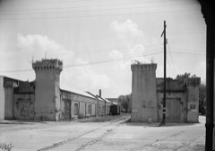 William Aiken House and Associated Railroad StructuresNational Historic Landmark · listed 1966
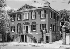 William Blacklock HouseNational Historic Landmark · listed 1973
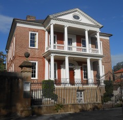 Miles Brewton HouseNational Historic Landmark · listed 1966
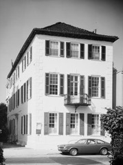 Robert Brewton HouseNational Historic Landmark · listed 1966
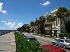 Charleston Historic DistrictNational Historic Landmark · listed 1966
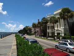 Charleston Historic DistrictNational Historic Landmark · listed 1978
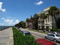 Charleston Historic District (Boundary Increase)National Historic Landmark · listed 1984
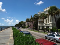 Charleston Historic District (Boundary Increase)National Historic Landmark · listed 1970
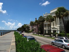 Charleston Old and Historic District (Boundary Increase)National Historic Landmark · listed 1986
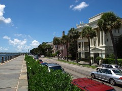 Charleston Old and Historic District (Boundary Increase)National Historic Landmark · listed 1985
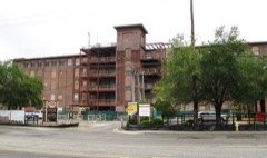 Cigar FactoryNational Historic Landmark
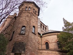 Circular Congregational Church and Parish HouseNational Historic Landmark · listed 1973
Every listing in Charleston County
Surveyed buildings and structures 12 of 399 shown
- 1 Atlantic Street (House), Charlestonfederal building survey, 1 photograph
- 1-28 Elliott Street, Charlestonfederal building survey, 5 photographs
- 10 Charlotte Street (House), Charlestonfederal building survey, 3 photographs
- 10 Exchange Street (House), Charlestonfederal building survey, 3 photographs
- 10 Legare Street (House), Charlestonfederal building survey, 3 photographs
- 10-38 Chalmers Street (Gates), Charlestonfederal building survey, 5 photographs
- 100 Block of Broad Street, Charlestonfederal building survey, 5 photographs
- 100 Block of Church Street, Charlestonfederal building survey, 6 photographs
- 101 Rutledge Avenue (House), Charlestonfederal building survey, 1 photograph
- 101-107 Bull Street (Townhouses), Charlestonfederal building survey, 3 photographs
- 102 Broad Street (House), Charlestonfederal building survey, 2 photographs
- 117 Broad Street (House), Charlestonfederal building survey, 4 photographs
Population over time
2 figuresCharleston grew from 120,083 to 150,227 between 2010 and 2020. These are the recorded population figures Wikidata holds for this place, reached through the Geographic Names Information System number this page is keyed on rather than by name, so they belong to this place and not to another of the same name. Most are census counts, but not all are: an early figure may be a founding or settlement estimate, and an estimate published within five years of a census is left out. The change column is computed, and is left blank where more than 20 years separate a figure from the one before it, because a gap that long is not a change between two counts.
| Year | People | Change |
|---|---|---|
| 2010 | 120,083 | |
| 2020 | 150,227 | +30,144 (+25%) |
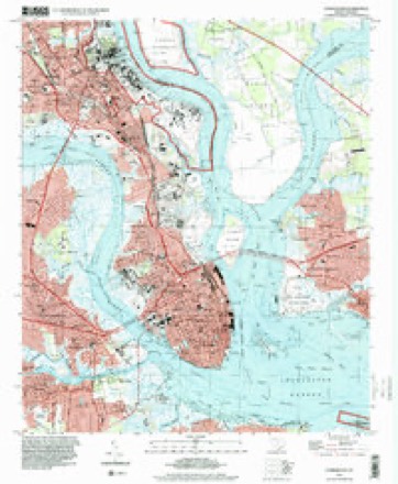
Topographic sheets covering this place
9 surveys from 18 printed sheetsMatched by testing this settlement's coordinate against the published boundary of every sheet in the United States Geological Survey's historical collection. Each opens the scanned sheet at the Survey.
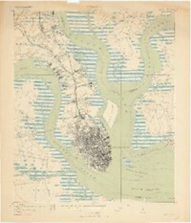
- 1919 USGS Charleston quadrangle1:21120, 3 printings
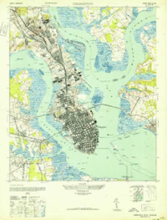
- 1948 USGS Charleston quadrangle1:24000, 2 printings
- 1948 USGS James Island quadrangle1:250000, 2 printings
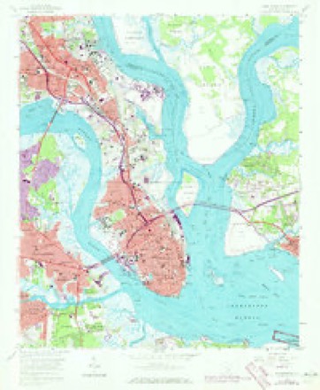
- 1958 USGS Charleston quadrangle1:24000, 5 printings
- 1968 USGS James Island quadrangle1:250000
- 1969 USGS James Island quadrangle1:250000, 2 printings
- 1986 USGS James Island quadrangle1:100000
- 1990 USGS James Island quadrangle1:100000
- 1994 USGS Charleston quadrangle1:24000
Photographs
8 of 59 photographs shown, 1936 to 1938Taken for the Office of War Information and the Farm Security Administration, who photographed the country between 1935 and 1944. Works of United States government photographers, with no known restriction on use. Each opens its catalogue record.
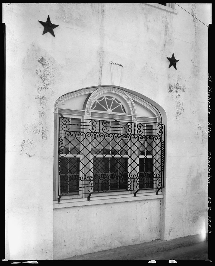
Johnston, Frances Benjamin, 1937. Library of Congress
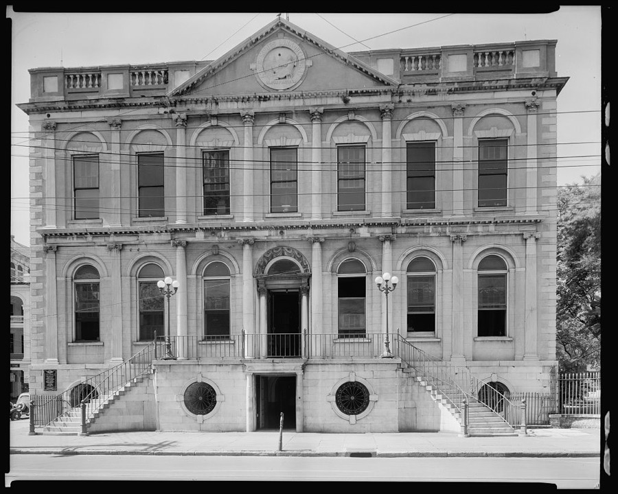
Johnston, Frances Benjamin, 1937. Library of Congress
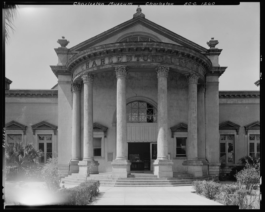
Johnston, Frances Benjamin, 1937. Library of Congress
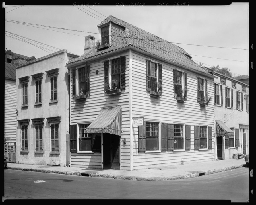
Johnston, Frances Benjamin, 1937. Library of Congress
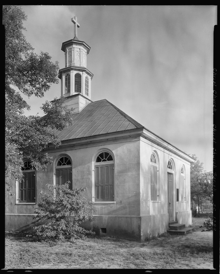
Johnston, Frances Benjamin, 1938. Library of Congress
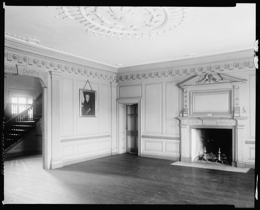
Johnston, Frances Benjamin, 1938. Library of Congress
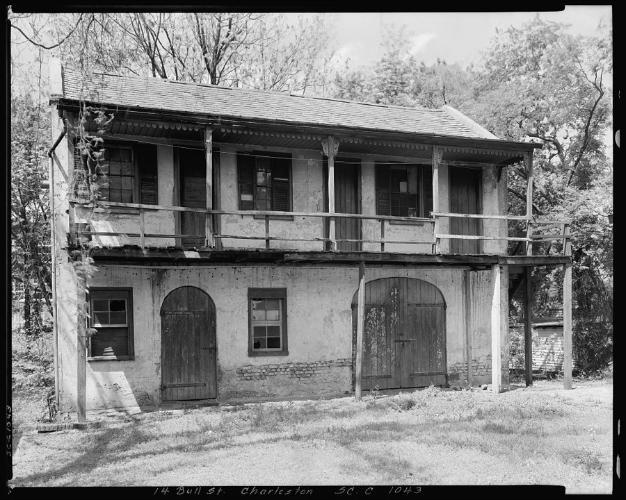
Johnston, Frances Benjamin, 1937. Library of Congress
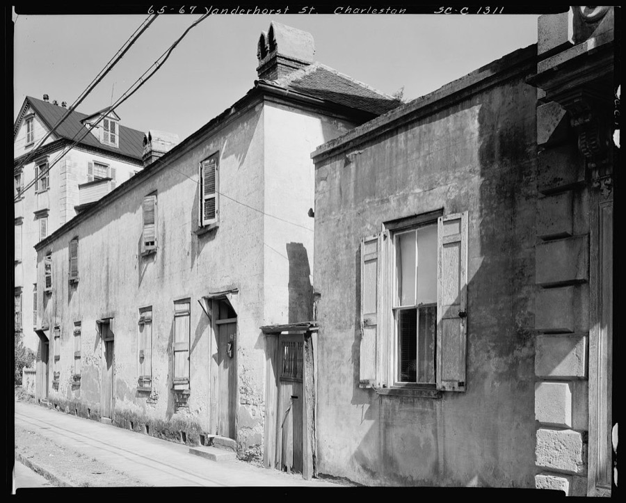
Johnston, Frances Benjamin, 1936. Library of Congress
Every photograph of Charleston County
Fires near this place
8 since 1993Regional context, not property-specific evidence. The federal wildfire occurrence database lists 8 fires within 5 miles of Charleston between 1993 and 2012, burning about 61 acres in total. None started naturally. 4 were recorded as arson. Distance is straight-line from the map coordinates, so a fire counted here may appear on a neighbouring settlement's page as well.
| Reported cause | Fires |
|---|---|
| Arson/incendiarism | 4 |
| Recreation and ceremony | 1 |
| Debris and open burning | 1 |
| Missing data/not specified/undetermined | 1 |
| Fireworks | 1 |
The most recent of them, most recent first, with the day each was reported and the service that recorded it.
| Date | Cause | Size | Reported by | Name on the report |
|---|---|---|---|---|
| 12 September 1999 | Arson/incendiarism | 4.0 acres | South Carolina Forestry Commission | not named |
| 7 July 2012 | Fireworks | 8.0 acres | South Carolina Forestry Commission | not named |
| 11 June 2000 | Arson/incendiarism | 5.0 acres | South Carolina Forestry Commission | not named |
| 5 April 2006 | Arson/incendiarism | 7.5 acres | South Carolina Forestry Commission | not named |
| 11 April 2012 | Recreation and ceremony | 1.4 acres | South Carolina Forestry Commission | not named |
| 1 March 2006 | Arson/incendiarism | 3.0 acres | South Carolina Forestry Commission | not named |
| 25 December 2000 | Debris and open burning | 30 acres | South Carolina Forestry Commission | not named |
| 26 January 1993 | Missing data/not specified/undetermined | 2.0 acres | South Carolina Forestry Commission | not named |
Settlements close enough to share some of these fires:
Mines and quarries near this place
7 within 5 milesRegional context, not property-specific evidence. The federal mineral resources record lists 7 workings within 5 miles of Charleston: 3 producers, 2 unknowns, 1 plant, 1 past producer. 4 still produce. What was taken out: Sand and Gravel, Construction, REE, Thorium, Iron. Distance is straight-line from the map coordinates, so a quarry counted here may appear on a neighbouring settlement's page as well.
| Where | Site | Commodity | Status | Recorded |
|---|---|---|---|---|
| (Facility) Charleston Smelter | Chromium | Plant | ||
| Airco Alloys | Iron | Unknown | ||
| Charleston County Mine | REE, Thorium | Producer | ||
| Fort Moultrie Quadrangle | Zirconium, Titanium, Iron, Thorium | Unknown | Placer , Modern , Beach | |
| Cross Country Mine | Sand and Gravel, Construction | Producer | ||
| Cross Creek Mine | Sand and Gravel, Construction | Producer | ||
| Mt Pleasant Pit | Sand and Gravel, Construction | Past Producer | Sedimentary |
Storms near this place
60 of 176 shownRegional context, not property-specific evidence. The National Weather Service names Charleston in 176 storm reports between 1993 and 2025: 74 flash flood, 52 thunderstorm wind, 36 hail, 4 lightning. The reports record 3 injuries. Each account below is quoted exactly as the forecast office filed it, from the NOAA Storm Events Database, and each date opens the federal record of that event.
| When | Event | Place named | Harm | What the report says |
|---|---|---|---|---|
| August 2006 | Flash Flood | North Charleston | 3 hurt | Emergency Management reported a large concrete commercial building at Goer industries experienced a 40 X 40 foot section of collapsed roof. 3 people had minor injuries. |
| August 2012 | Flash Flood | Charleston | $750,000 | The College of Charleston Emergency Manager reports that twenty three buildings on campus have sustained damage from flash flooding. Flood waters are still in place across much of the campus. |
| October 2015 | Flash Flood | Charleston | $728,550 | Law enforcement and firefighters reported widespread flooding in downtown Charleston resulting in several water rescues and numerous road closures. Roads and intersections closed due to flooding included Beaufain Street between Lockwood Boulevard and Coming Street, Washington Street between Calhoun Street and Hassell Street, Morris Street between Coming Street and Smith Street, Huger Street between Senate Street and Benson Street, Rutledge Avenue and Ashely Avenue between Calhoun Street and Bennett Street, Vanderhorst Street between Rutledge Avenue and Coming Street, Rutledge Avenue between Fishburne Street and Sheppard Street, President Street between Highway 17 and Fishburne Street, Pinckney Street between Meeting Street and Church Street, Highway 17 between Cannon Street and Coming Street, the Crosstown Expressway, Calhoun Street at the intersection of Smith Street and Lockwood Boulevard at the intersection of Broad Street. |
| October 2015 | Flash Flood | Charleston | $728,550 | A Charleston County emergency manager and law enforcement reported numerous roads closed due to flooding in downtown Charleston. Roads closed included Hasell Street between Meeting Street and Washington Street. Interstate 26 exits to Meeting Street and East Bay Street were also closed due to flooding. Water was also reported entering homes and businesses at the intersection of Tradd Street and Council Street. Swift water rescues were also being reported by broadcast media in downtown Charleston. |
| September 1998 | Flash Flood | North Charleston | $413,500 | no account filed |
| August 2000 | Thunderstorm Wind | Charleston | $200,000 | A container crane at a loading dock was blown into two other cranes causing several large shipping containers to be thrown into the water. |
| June 1997 | Flash Flood | Charleston | $125,000 | no account filed |
| August 1998 | Thunderstorm Wind | North Charleston | $80,000 | Winds blew a 60-foot yacht off its stand and into a shed causing considerable damaga to the yacht. |
| July 2013 | Flash Flood | Charleston | $50,000 | Police reported numerous streets in Downtown Charleston were closed due to flooding...King, Line, Cannon, St Philips, President, Cross, Market, Felix, Radcliffe, Smith, Fishburne, Moultrie, Vanderhorst, Ogier Streets, along with Ashley Ave. |
| September 1994 | Thunderstorm Wind | North Charleston | $50,000 | At Parc Circle in North Charleston, trees down, bleachers damaged, fence mangled, and scoreboard destroyed. The damage was $25,000. |
| October 2008 | Flash Flood | Charleston | $15,000 | City officials in Charleston reported that widespread flooding was occurring in downtown Charleston, South Carolina. Numerous motorists were stranded in vehicles along with several road closures. |
| March 2024 | Flash Flood | Charleston | $10,000 | An employee at the Gold Creations store in the Charleston City Market provided a picture showing a high water mark of 10 inches of inundation from inside the enclosed store building. |
| July 2012 | Flash Flood | Charleston | $10,000 | Tabbuli Grill on North Market Street flooded with several inches of water inside the building. Numerous side streets near the market were flooded with a half foot of water. Flooding was also reported at East Bay and Calhoun Streets. They were not officially closed, but were impassable in spots. |
| December 2009 | Flash Flood | Charleston | $10,000 | Law enforcement reported 10 to 15 automobiles stalled in downtown Charleston due to flooding. At least 1 automobile had water flowing into its doors. |
| April 2006 | Thunderstorm Wind | North Charleston | $10,000 | Wind damaged observed at the Hess Terminal near the base of the Don Holt Bridge. Hess sign bent parallel to the ground. SC DOT portable lighted sign blown down. Rail crossing gate damaged. |
| August 2006 | Thunderstorm Wind | North Charleston | $10,000 | 60 foot tall oak tree fell and crushed car and did damage to small shed at Midland Park on Stall Road. Numerous large trees down on buildings at midland park. Powerlines down on Stall Road. |
| August 2006 | Thunderstorm Wind | North Charleston | $10,000 | Numerous large trees down on Rivers Ave. Sign down on Dunlap Street. Pool furniture blown into pool at Summit Place Apartments. One trailer blown over. |
| July 1997 | Thunderstorm Wind | North Charleston | $10,000 | A 40x80 foot section of the roof at the ABF Freight System, Inc was blown off . |
| April 2006 | Thunderstorm Wind | Charleston | $6,000 | Trees down on power lines on Bees Ferry Road in West Ashley. |
| April 2006 | Thunderstorm Wind | Charleston | $6,000 | Trees and power lines down along Ashley River Road. |
| July 2014 | Flash Flood | Charleston | $5,000 | Numerous reports of road closures due to flash flooding in and around downtown Charleston. South Market Street was closed between Meeting Street and State Street due to flooding. North Market Street was closed between East Bay Street and Meeting Street due to flooding. The roadway was closed due to flooding at the intersection of Ashley Avenue and Fishburne Street. The road was closed due to flooding on Bennett Street between Ashley Avenue and Rutledge Avenue. The road was closed due to flooding at the intersection of King Street and Huger Street. Ogier Street was flooded and impassable due to flooding with water surrounding homes. President Street north of the Crosstown was also closed due to flooding. |
| May 2006 | Thunderstorm Wind | North Charleston | $5,000 | Trees down on several homes in the Park Circle area. |
| August 2006 | Thunderstorm Wind | North Charleston | $5,000 | Large tree down in bank parking lot at intersection of Rivers and Ashley Phosphate. Street light pole down at Northwoods mall. |
| June 1995 | Thunderstorm Wind | Charleston | $5,000 | Power outages to over 2,500 homes and very heavy rain. |
| January 2006 | Thunderstorm Wind | Charleston | $3,000 | Thunderstorm winds knocked down trees on Chadwick Drive and Windermere Blvd. in the West Ashley section of Charleston. Two trees were also blown down on Sullivan's Island. |
| June 2006 | Tornado (F0) | Charleston | $3,000 | NWS damage survey confirms brief F0 tornado touch down near the Medical University of South Carolina Hospital. Storm track was 1 mile long with tornado path 30 yards. Tree damage was observed at the MUSC Hospital parking lot as well as numerous cars damaged from flying debris at the hospital and nearby hotel parking lot. The tornado crossed Highway 17 and produced additional tree damage off Lockwood Blvd and damaged police cars at the Charleston Police station motorpool. Winds estimated at 60 to 70 mph. |
| July 2006 | Thunderstorm Wind | Charleston | $2,000 | Trees down along Highway 61 near Drayton Hall. |
| July 2019 | Lightning | Charleston | $1,000 | A social media post reported that lightning struck St. Matthew's Lutheran Church in Downtown Charleston near the corner of King Street and Vanderhorst Street. |
| July 2009 | Flash Flood | Charleston | $1,000 | The public reported around 2 feet of standing water near Market and Meeting Streets, making portions of the roads impassable in downtown Charleston, South Carolina. |
| April 2006 | Thunderstorm Wind | Charleston | $1,000 | Trees down near intersection of Sam Rittenburg and Ashley Road. |
| August 2025 | Flash Flood | Charleston | - | Law enforcement reported the intersection of Ogier Street and Calhoun Street closed due to flooding. |
| August 2025 | Flash Flood | Charleston | - | Law enforcement reported Ashley Avenue closed between Calhoun Street and Bull Street due to rainfall around high tide. |
| August 2025 | Flash Flood | Charleston | - | Law enforcement reported the intersection of Barre Street and Montagu Street closed due to rainfall around high tide. |
| August 2025 | Flash Flood | Charleston | - | Emergency management reported Ogier Street closed between Calhoun Street and Vanderhorst Street due to flooding. |
| August 2025 | Flash Flood | Charleston | - | Emergency management reported Calhoun Street closed between Pitt Street and Ashley Avenue due to flooding. |
| August 2025 | Flash Flood | Charleston | - | Emergency management reported Washington Street closed between Laurens Street and Society Street due to flooding. |
| August 2025 | Flash Flood | Charleston | - | Emergency management reported 29 different road closures across the city of Charleston due to flooding. |
| August 2025 | Flash Flood | Charleston | - | Emergency management reported Concord Street and Charlotte Street closed due to flooding. |
| August 2025 | Flash Flood | Charleston | - | Emergency management reported Ogier street closed due to flooding. |
| August 2025 | Flash Flood | Charleston | - | Emergency management reported the intersection of Washington Street and Society Street closed due to flooding. |
| August 2025 | Flash Flood | Charleston | - | Emergency management reported the intersection of Ashley Avenue and Calhoun Street closed due to flooding. |
| August 2025 | Flash Flood | Charleston | - | The Charleston Police Department reported the intersection of Calhoun Street and Ogier Street closed due to flash flooding. |
| August 2025 | Flash Flood | Charleston | - | The Charleston Police Department reported a large section of Washington Street closed due to flash flooding near the intersection of Washington Street and Society Street. |
| August 2025 | Flash Flood | Charleston | - | A member of the public reported water entering businesses and the bottom floors of a few homes along Calhoun Street near the intersection with Ogier Street. |
| August 2025 | Flash Flood | Charleston | - | The Charleston Police Department reported Broad Street closed between Ashley Avenue and Rutledge Avenue due to flash flooding. |
| September 2025 | Flash Flood | Charleston | - | Charleston Police Department reported that Ashley Avenue was closed between Calhoun Street and Bennett Street due to flooding. |
| September 2025 | Flash Flood | Charleston | - | Charleston Police Department reported that the intersection of Ogier Street and Calhoun Street was closed due to flooding. |
| September 2025 | Flash Flood | Charleston | - | Charleston Police Department reported that the intersection of Bennett Street and Barre Street was closed due to flooding. |
| September 2025 | Flash Flood | Charleston | - | Charleston Police Department reported that Washington Street was closed between Laurens Street and Society Street due to flooding. |
| September 2025 | Flash Flood | Charleston | - | Charleston Police Department reported that the intersection of Barre Street and Wentworth Street was closed due to flooding. |
| January 2024 | Thunderstorm Wind | Charleston | - | The Weatherflow site at Shutes Folly in Charleston Harbor measured a peak wind gust of 67 mph (58.2 knots). |
| May 2023 | Hail | Charleston | - | Hail ranging from the size of nickels up to quarters was reported in downtown Charleston near Meeting Street and Cumberland Street. The hail lasted for about 10 minutes. |
| May 2023 | Thunderstorm Wind | Charleston | - | The Weatherflow site at Shutes Folly measured a 54.5 knot (63 mph) wind gust due to a thunderstorm. |
| July 2023 | Thunderstorm Wind | Charleston | - | The Weatherflow site located at Shutes Folly in Charleston Harbor measured a peak wind gust of 53 knots. |
| December 2023 | Flash Flood | Charleston | - | A video shared via social media showed water entering a business along South Market Street. Saltwater flooding approximately 18 inches deep was also reported in a business inside the City Market. |
| December 2023 | Flash Flood | Charleston | - | A video relayed via social media showed water inside a building along Drake Street. |
| April 2022 | Thunderstorm Wind | Charleston | - | The public reported several aircraft on the USS Yorktown moved by high winds and three trees down at the Cold War Memorial. |
| April 2022 | Thunderstorm Wind | Charleston | - | The Shutes Folly Weatheflow sensor recorded a peak wind gust of 67 mph at 659 PM. |
| April 2022 | Hail | Charleston | - | Broadcast media relayed a video via social media of pea to nickel size hail along Church Street in downtown Charleston. |
| June 2021 | Flash Flood | Charleston | - | Emergency management and social media indicated several businesses along Market Street flooded with 8 to 16 inches of standing water inside buildings. Additionally, rainfall amounts around 3.5 inches resulted in the following streets, intersections, and areas in downtown Charleston to be closed due to flooding: Calhoun Street between Rutledge Avenue and Smith Street, Chisolm Street between Broad Street and Tradd Street, Colonial Street between Broad Street and Tradd Street, Hagood Avenue at Fishburne Street, King Street at Huger Street, Market Street between Meeting Street and East Bay Street, Romney Street at North Nassau Street, Smith Street at Marion Street, Tradd Street between Chisholm Street and East Bay Street, the Crosstown Expressway between Coming Street and Norman Street, Washington Street and Concord Street between Laurens Street and Queens Street, the Harleston Village area and the White Point Gardens area. |
Newspapers printed here
54,202 digitised pages6 papers published in this town, digitised by the Library of Congress and free to read: 7,778 issues, 54,202 pages. Every page is searchable, so a name or a street can be looked for directly in what the town printed about itself at the time.
| Newspaper | Published |
|---|---|
| The Charleston Daily News | 1865 to 1873 |
| Missionary Record | 1868 to 1879 |
| The Afro-American Citizen | 1899 to 1902 |
| South Carolina Leader | 1865 to 18?? |
| The Charleston Advocate | 1867 to 1868 |
| The Free Press | 1868 to 186? |
What the paper printed
69,301 wordsFront pages of the local paper, read from the Library of Congress scans: 12 issues spread across its run from 1865 to 1900, 69,301 words in total. Each is reproduced on its own page, exactly as the recogniser returned it.
These pages read less well than anything else here, and the number is worth stating: about three words in four come through cleanly, against nine in ten for the building records. An 1896 broadsheet sets eight-point type in seven columns on microfilm, which is the hardest thing in this archive to read by machine. We tested our own recognisers against the Library's and they were not better, so the Library's text is what appears, with the wholly unreadable columns removed. Read it as a guide to what the paper covered, and follow the link to the scan before quoting anything.
| Issue | Paper | Length |
|---|---|---|
| 1873-07-05 | Missionary Record | 4,801 words |
| 1876-04-01 | Missionary Record | 4,447 words |
| 1900-01-17 | The Afro-American Citizen | 7,389 words |
| 1865-10-07 | South Carolina Leader | 6,129 words |
| 1865-10-28 | South Carolina Leader | 4,849 words |
| 1865-12-16 | South Carolina Leader | 6,023 words |
| 1868-04-05 | The Free Press | 5,878 words |
| 1868-04-11 | The Free Press | 6,585 words |
| 1865-08-29 | The Charleston Daily News | 5,653 words |
| 1865-10-12 | The Charleston Daily News | 4,266 words |
| 1865-11-22 | The Charleston Daily News | 5,306 words |
| 1873-04-05 | The Charleston Daily News | 7,975 words |
Nearest settlements
The eight closest, with where each one stands in the county. Distances are straight-line, computed from the Geographic Names Information System coordinates.
| Map | Place | Distance | Sheets |
|---|---|---|---|
| Anson Borough Homes | 0.8 miles | 18 | |
| Wragg Borough Homes | 1.1 miles | 18 | |
| Gadsden Green Homes | 1.5 miles | 18 | |
| Harbor View | 1.9 miles | 18 | |
| Wappo Heights | 2.0 miles | 18 | |
| Lakeview of Lawton Bluff | 2.0 miles | 15 | |
| The Crescent | 2.1 miles | 18 | |
| Country Club Estates | 2.3 miles | 18 |
Elsewhere
Matched on this settlement's Geographic Names Information System number rather than its name, so it cannot be a different place of the same name in another state.
| Wikipedia article on Charleston | An encyclopaedic summary. Its text is share-alike, so it is linked here rather than copied. |
| Wikidata item Q47716 | The structured record the population and elevation above come from. Public domain (CC0). |
Provenance
This settlement is recorded in the Geographic Names Information System as feature 1221516. The sheet list is computed by point-in-boundary test against the United States Geological Survey's historical topographic inventory. Both are works of the United States government and carry no copyright under 17 U.S.C. 105.
Wildfire. Short, Karen C. 2022. Spatial wildfire occurrence data for the United States, 1992-2020 [FPA_FOD_20221014]. 6th Edition. Fort Collins, CO: Forest Service Research Data Archive. https://doi.org/10.2737/RDS-2013-0009.6 Collected with United States Government funding and usable without additional permissions or fees.
Mines and quarries. USGS Mineral Resources Data System (MRDS) https://mrdata.usgs.gov/mrds/ A work of the United States government, no copyright under 17 U.S.C. 105.
Storms. NOAA National Centers for Environmental Information, Storm Events Database https://www.ncei.noaa.gov/stormevents/ A work of the United States government, no copyright under 17 U.S.C. 105. Narratives are quoted verbatim from the National Weather Service report and are not edited or summarised.