Block
From the record
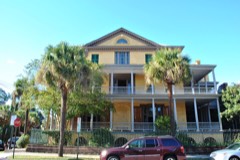
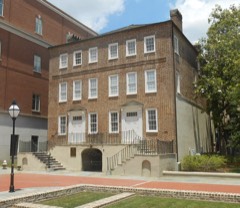
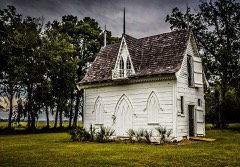
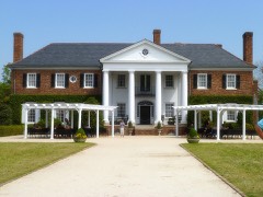
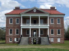
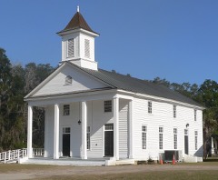
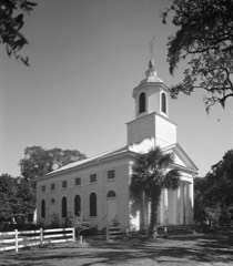
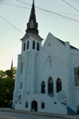
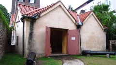
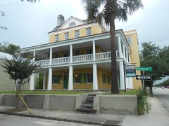
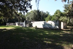
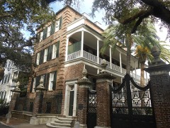
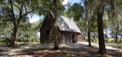
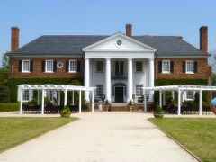
227 National Register listings published here, 48 of them National Historic Landmarks.
Sources: the National Register database, National Park Service
199 topographic sheets and 19 fire insurance atlases across 3 places.
227 National Register listings published here, 48 of them National Historic Landmarks.
Sources: the National Register database, National Park Service
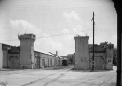
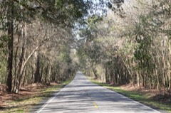
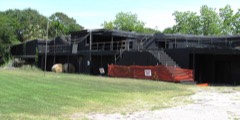
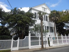
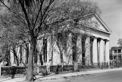
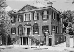
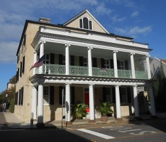
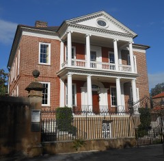
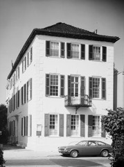
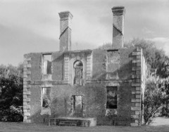
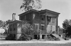
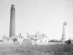
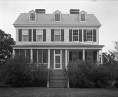
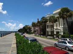
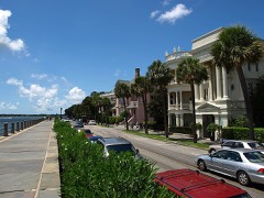
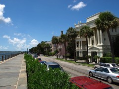
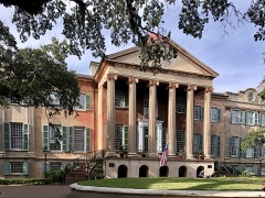
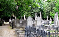
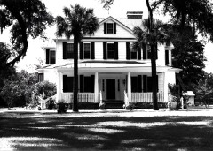
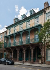
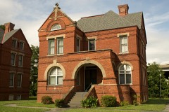
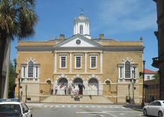
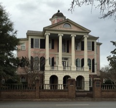
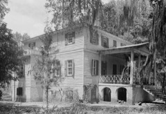
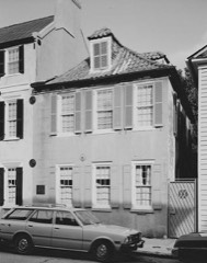
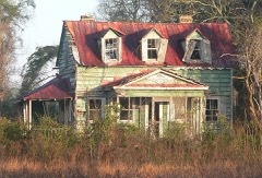
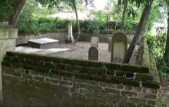
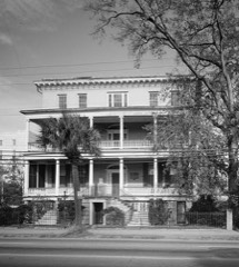
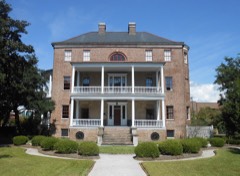
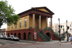
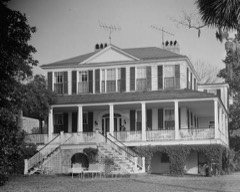
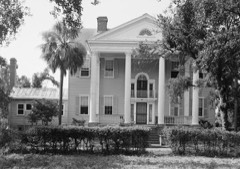
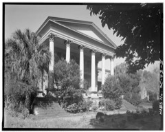
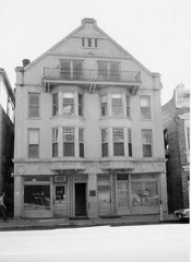
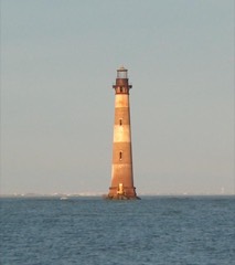
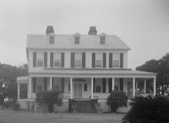
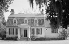
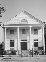
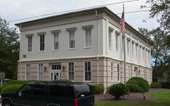
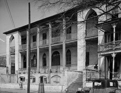
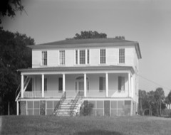
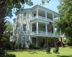
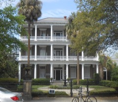
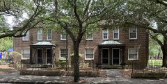
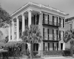
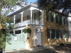
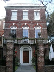
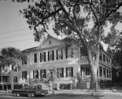
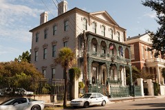
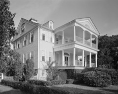
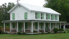
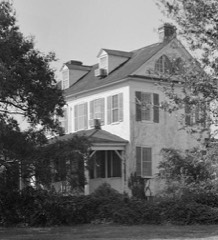
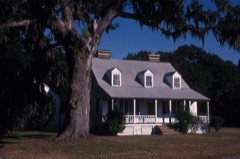
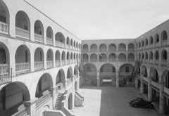
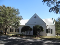
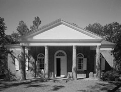
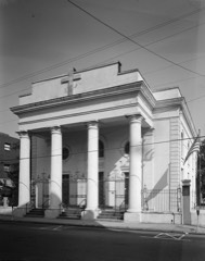
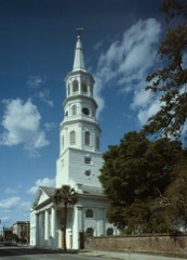
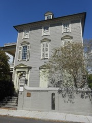
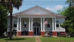
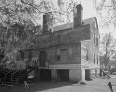
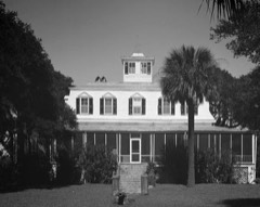
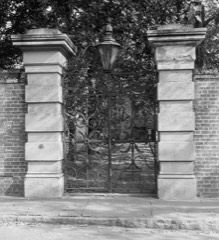
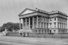
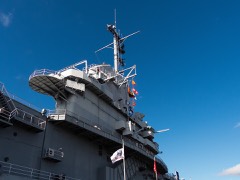
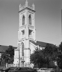
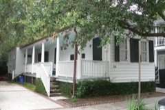
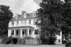
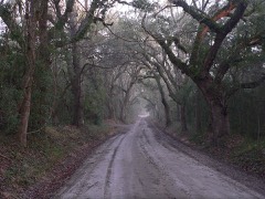
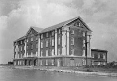
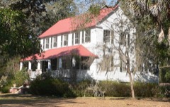
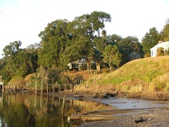
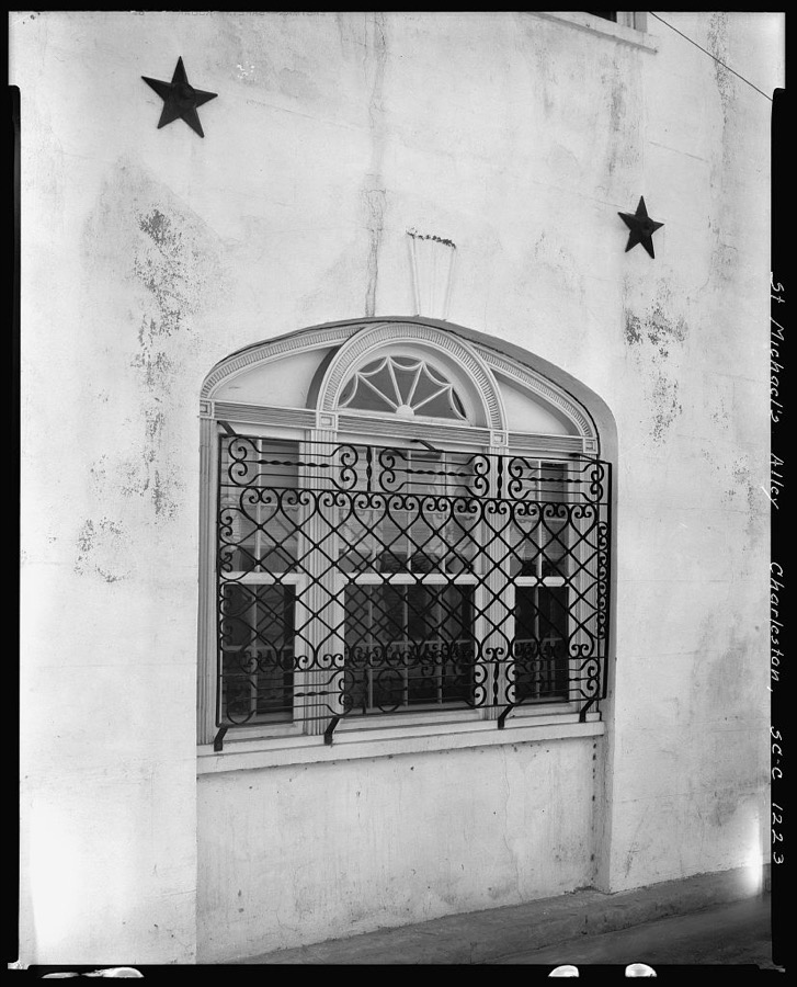
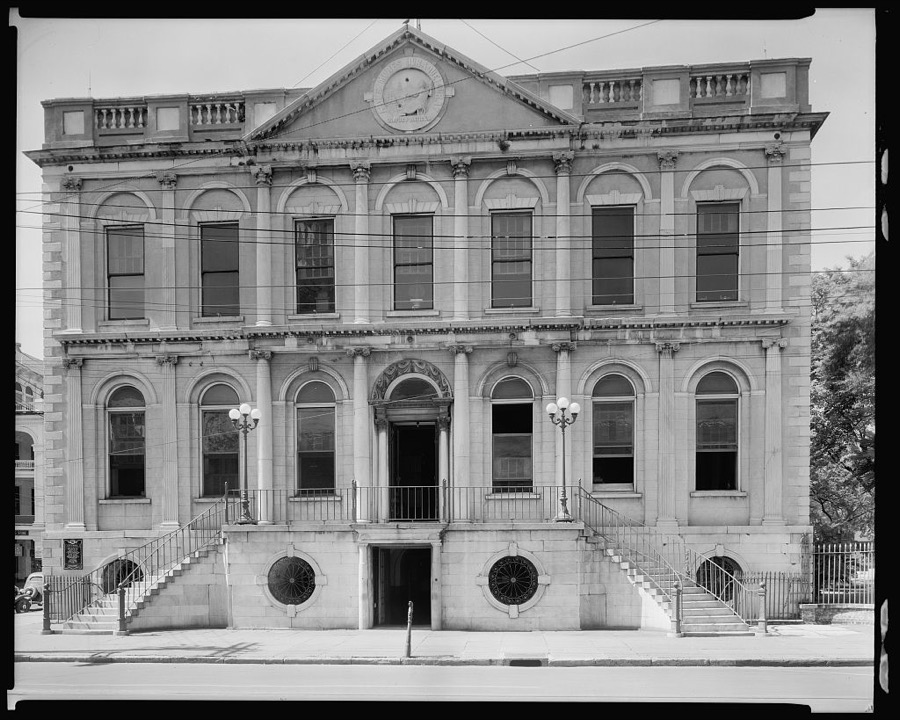
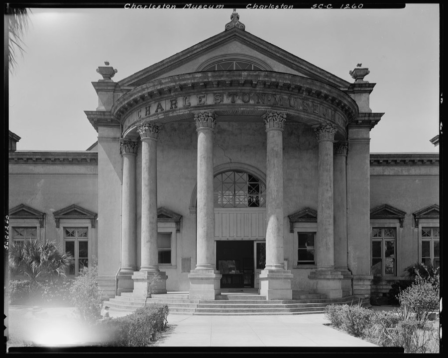
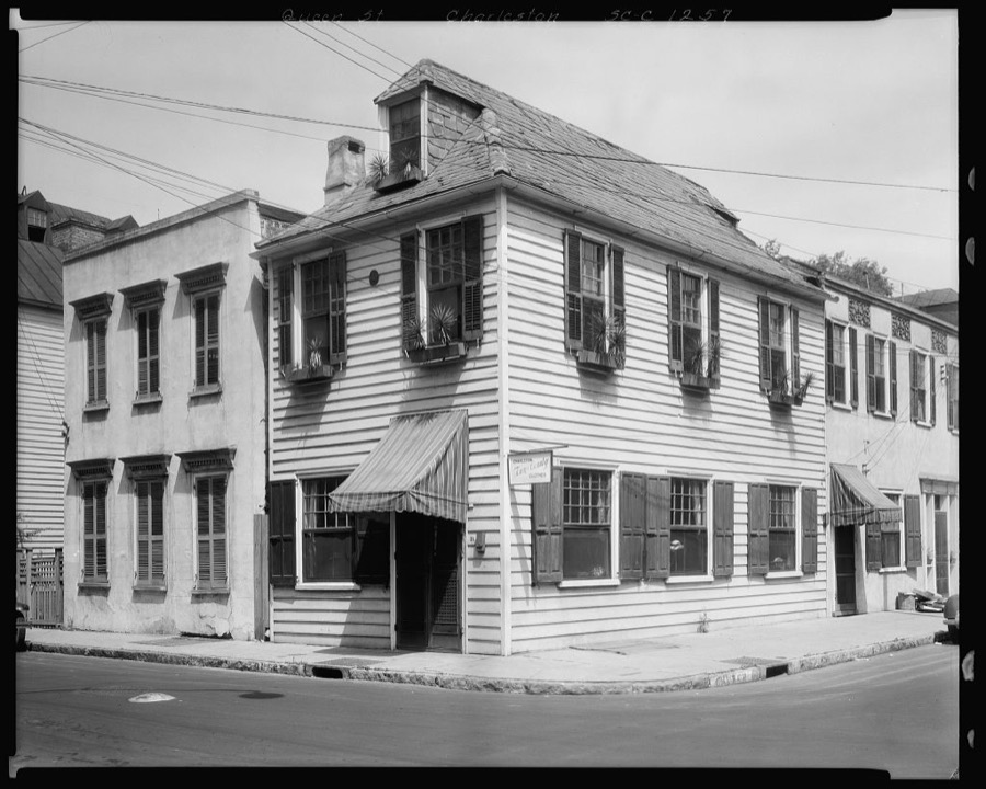
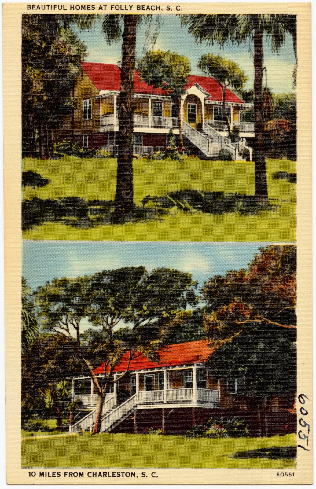
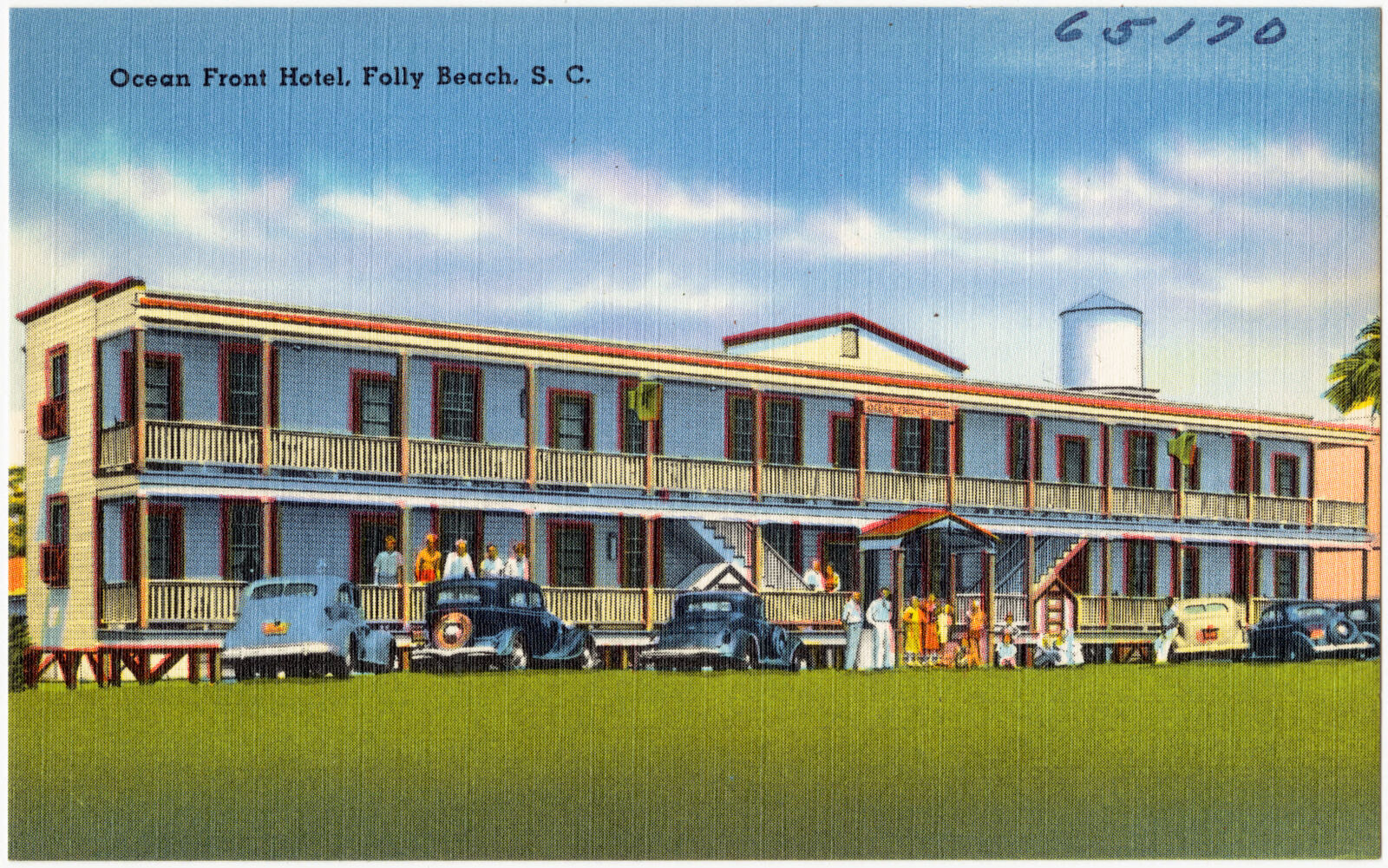
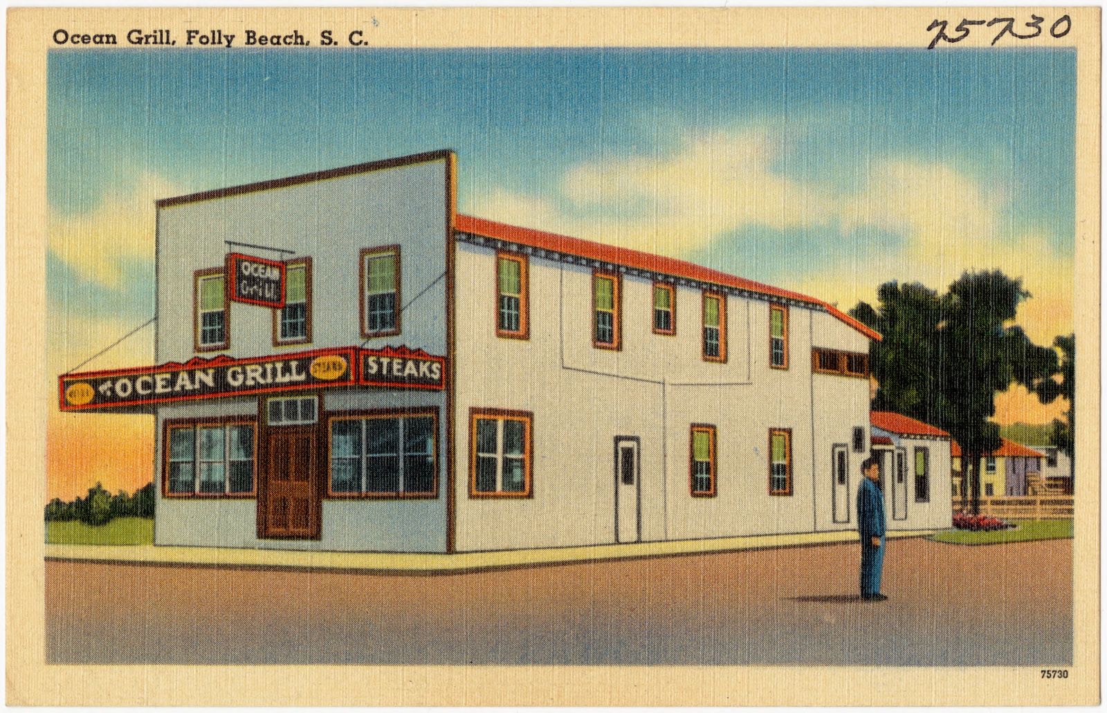
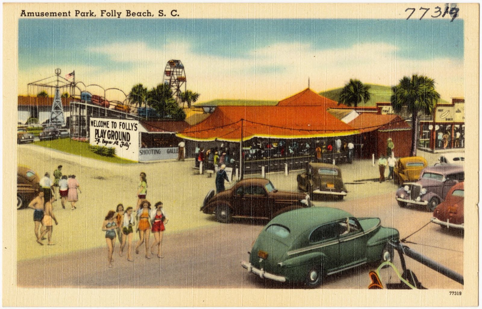
Taken for the Office of War Information and the Farm Security Administration, who photographed the country between 1935 and 1944. Works of United States government photographers, with no known restriction on use. Each opens its catalogue record.
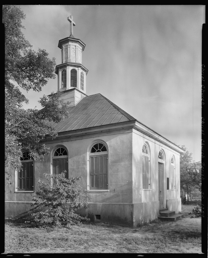
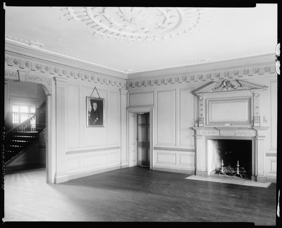
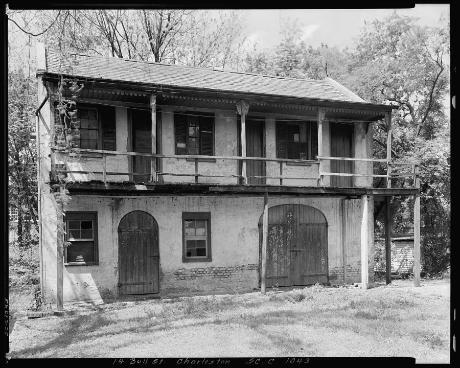
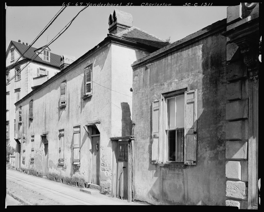
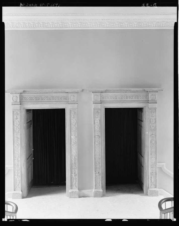
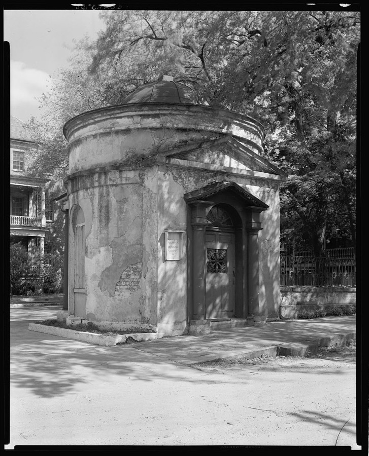
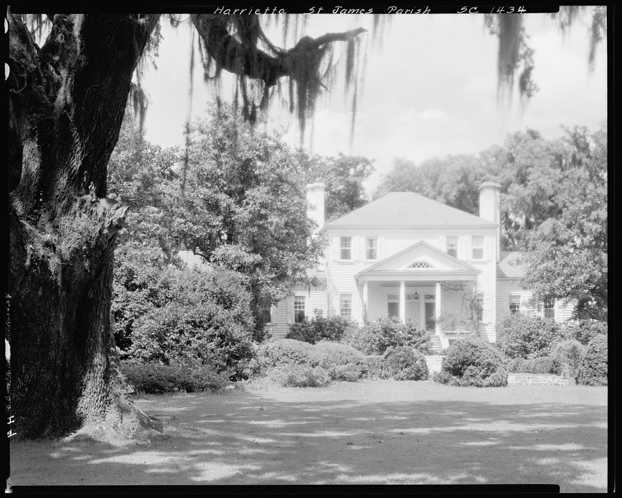
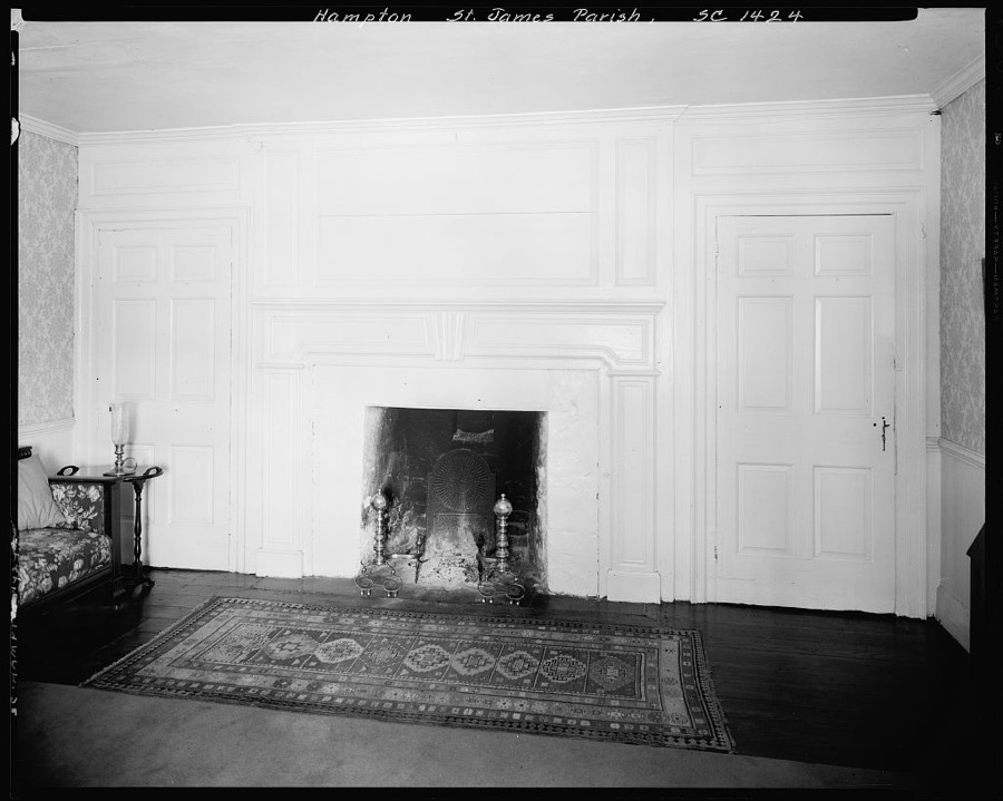
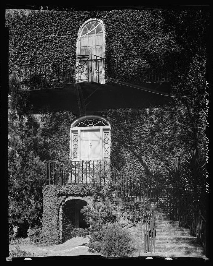
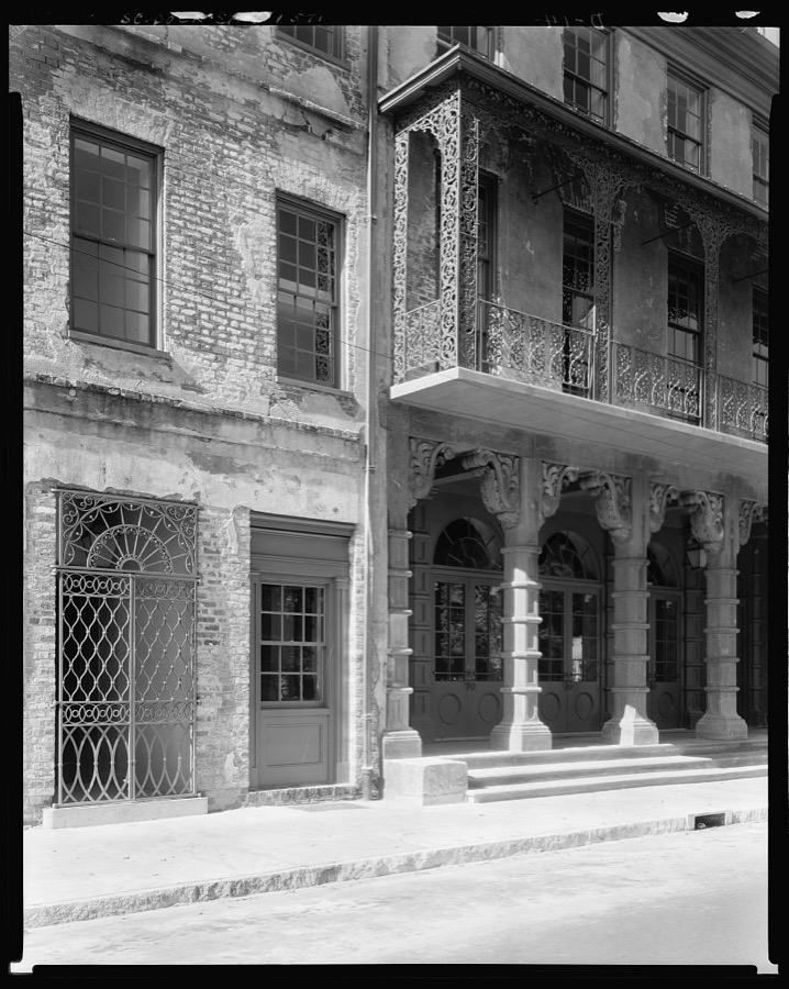
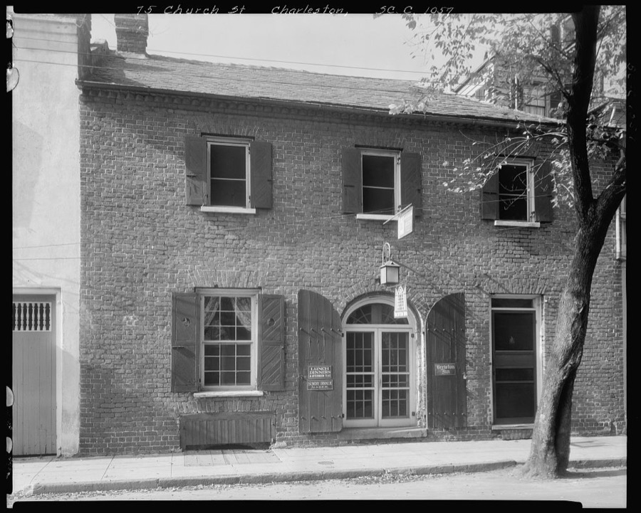
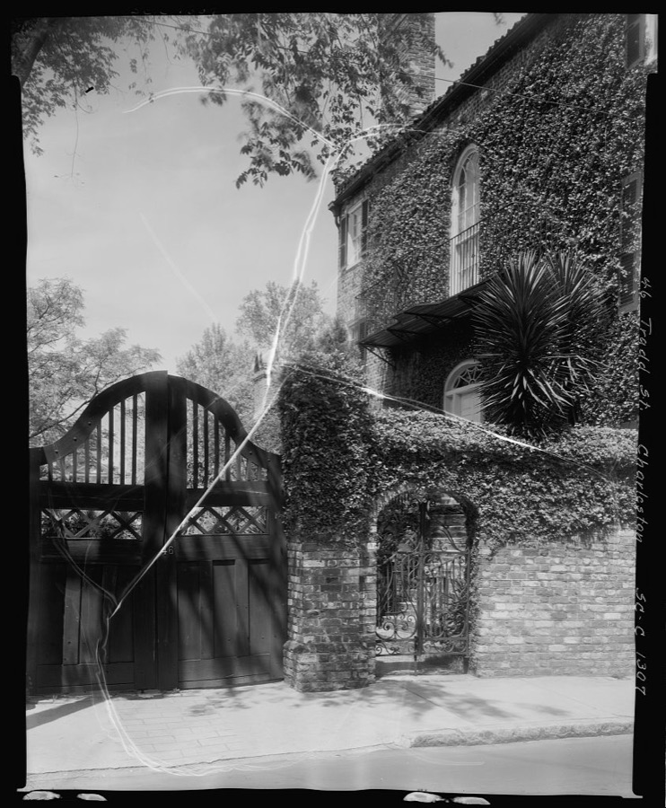
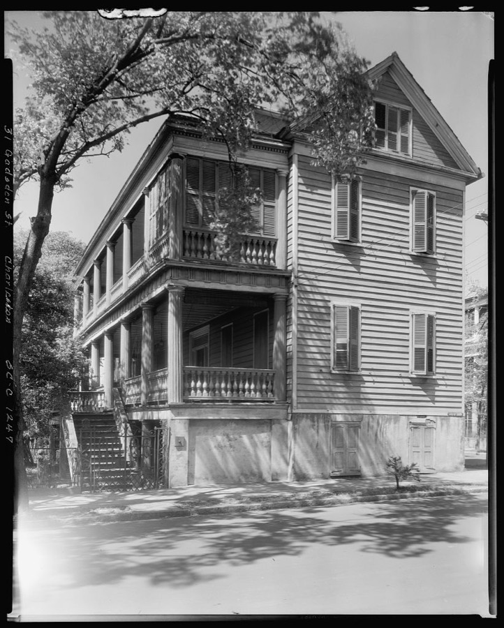
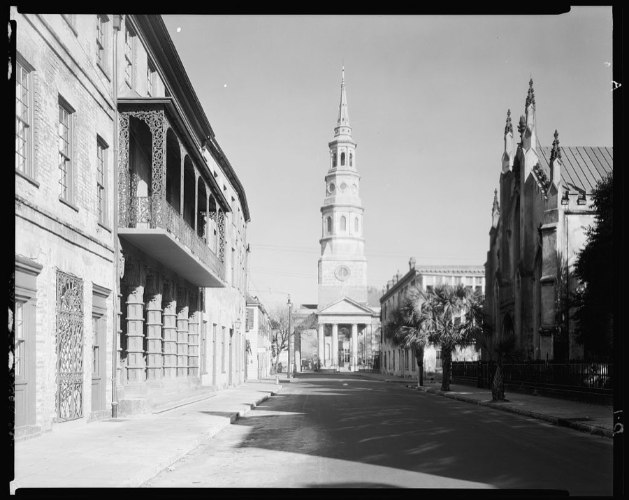
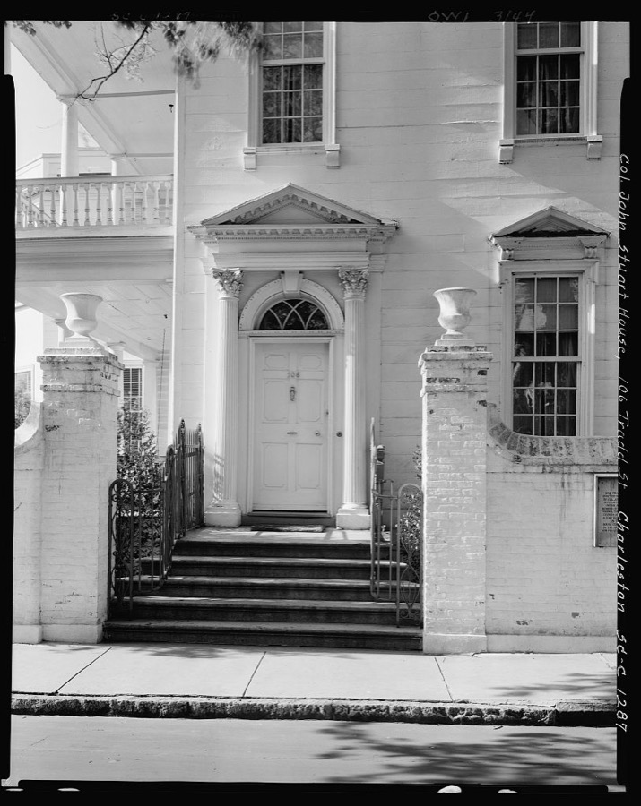
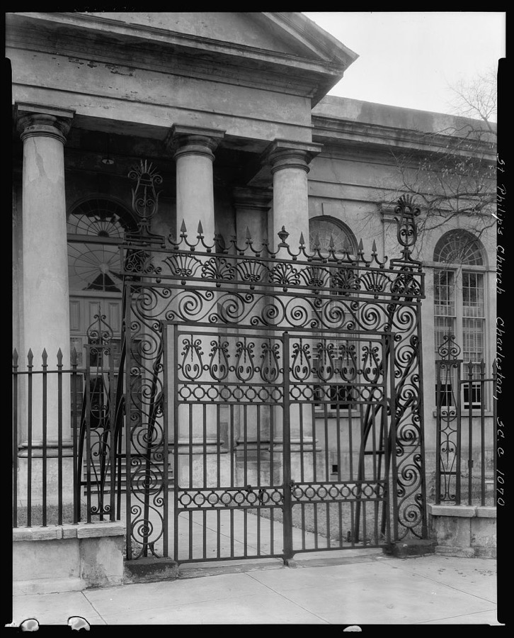
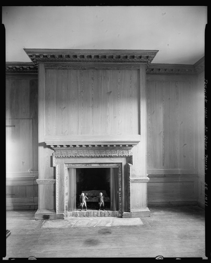
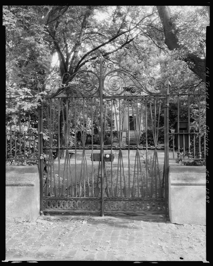
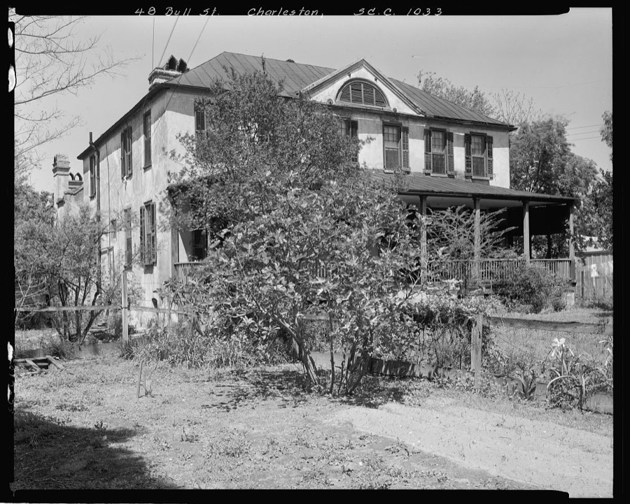
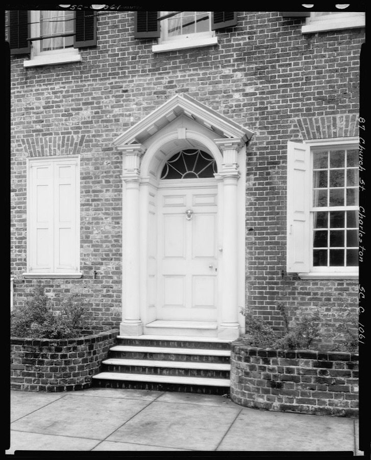
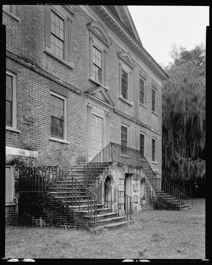
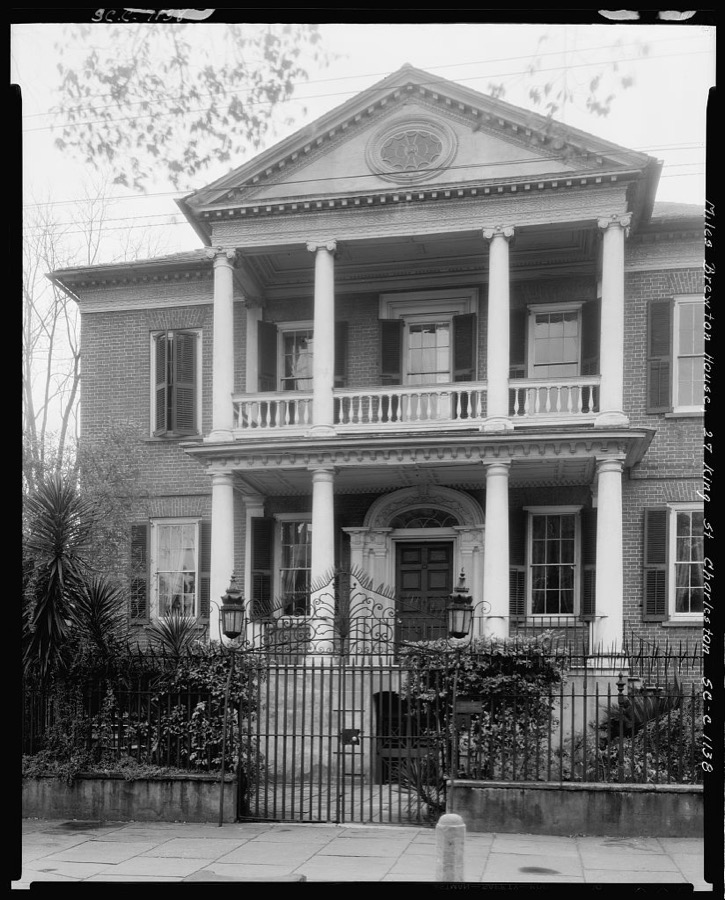
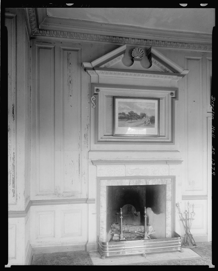
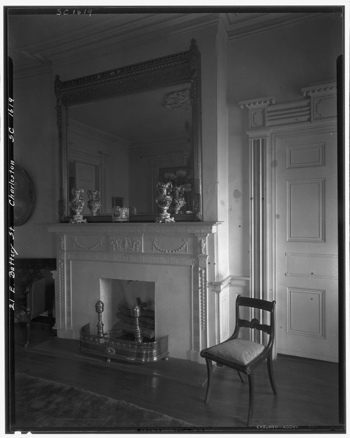
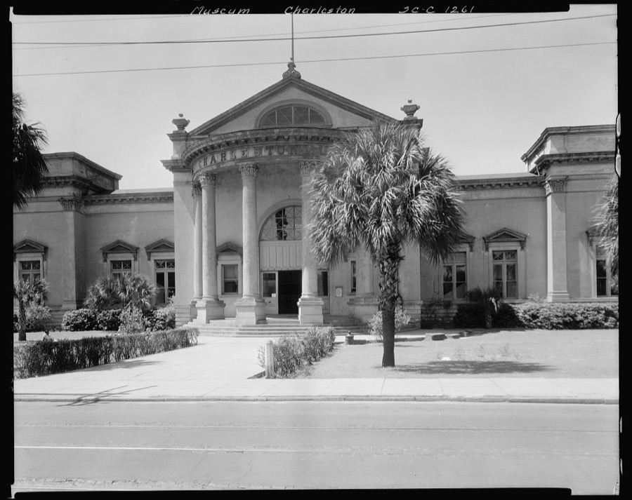
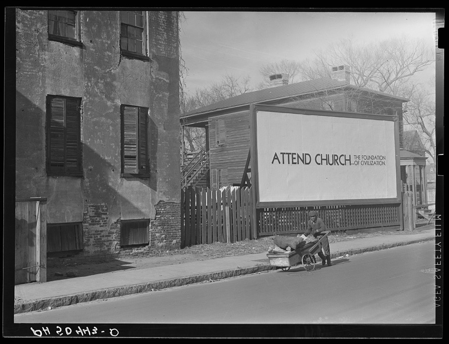
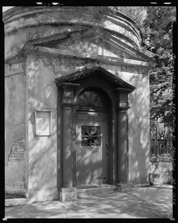
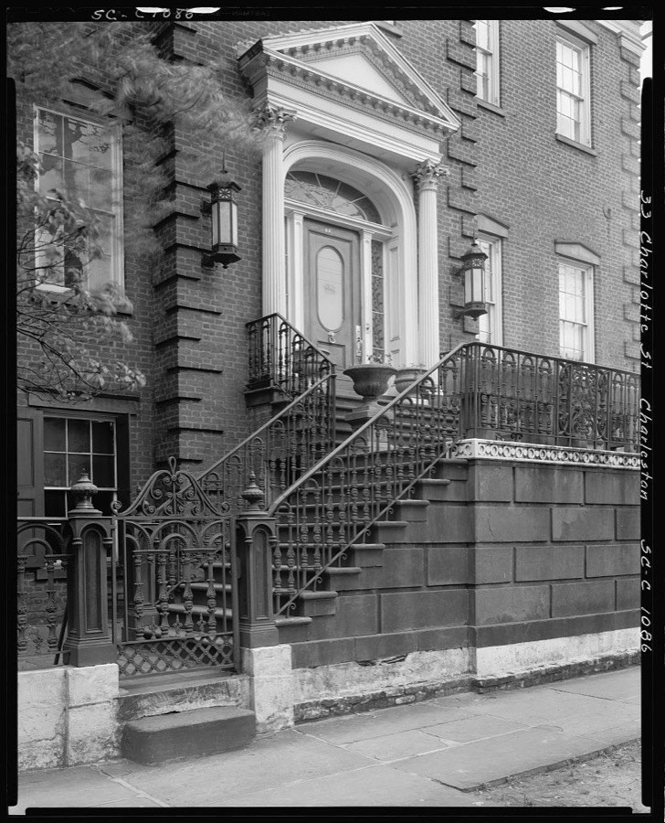
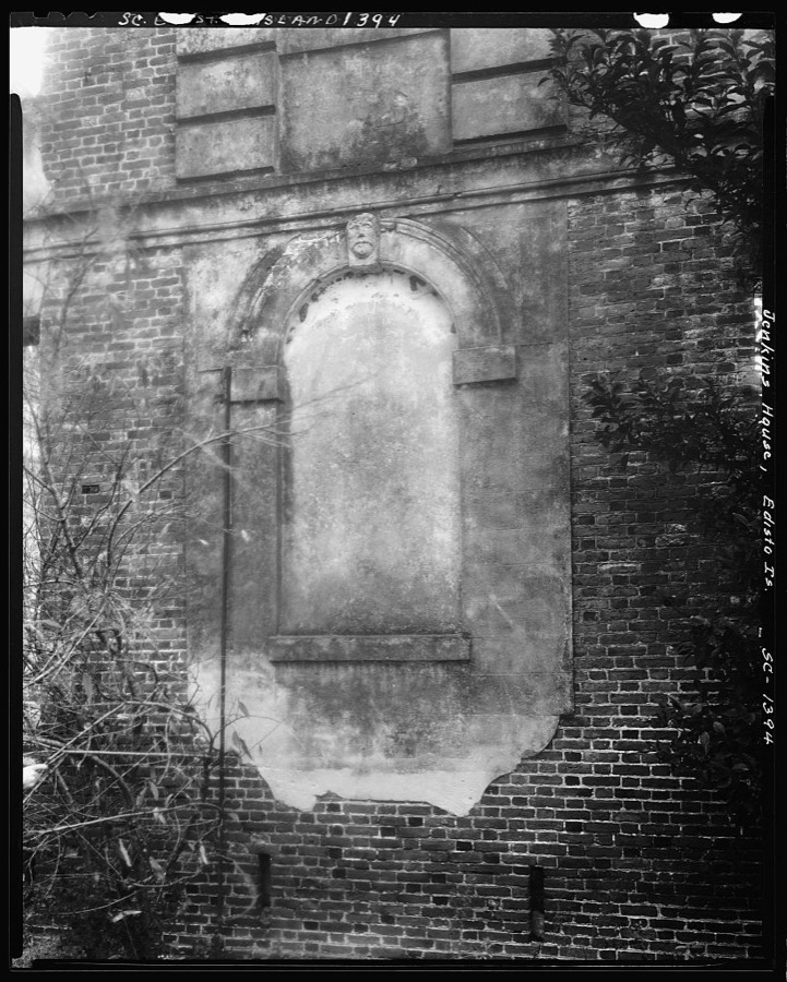
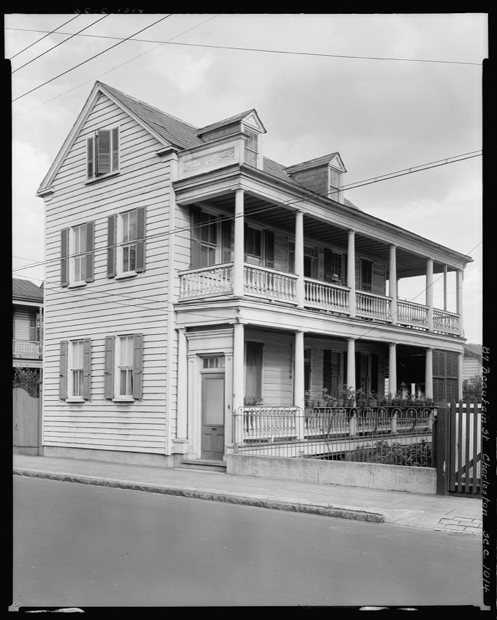
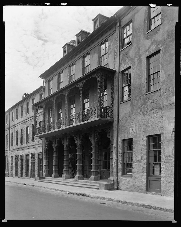
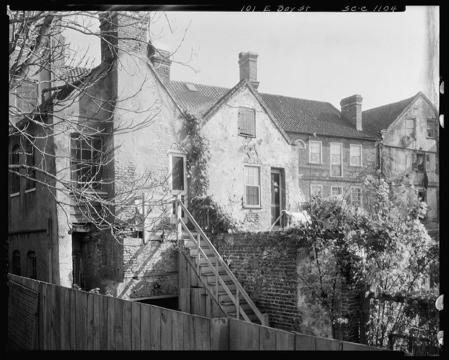
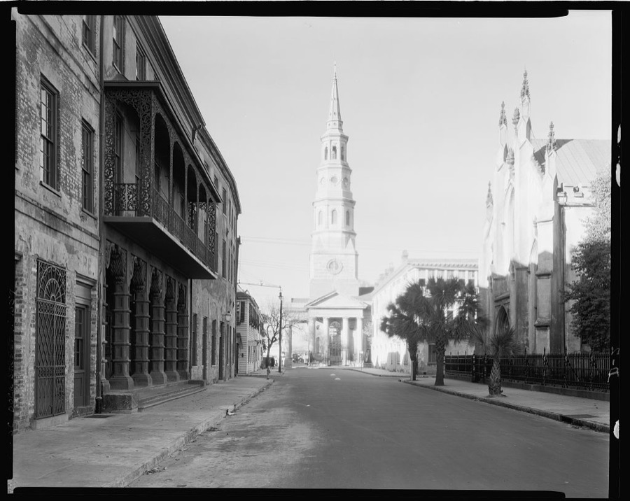
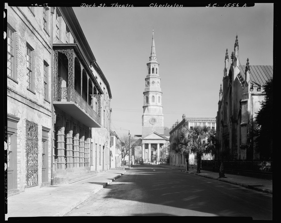
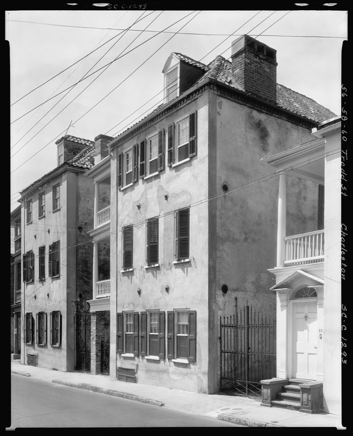
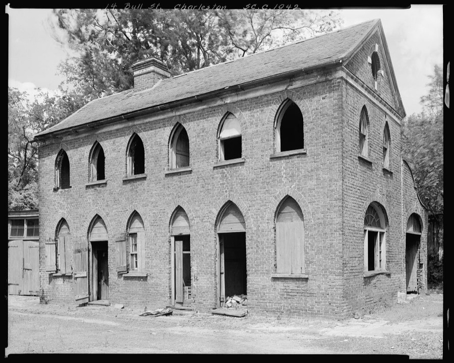
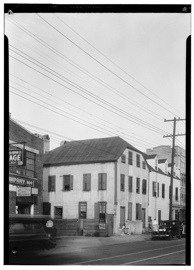
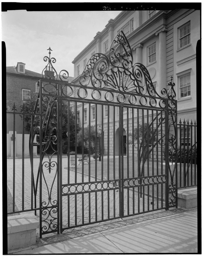
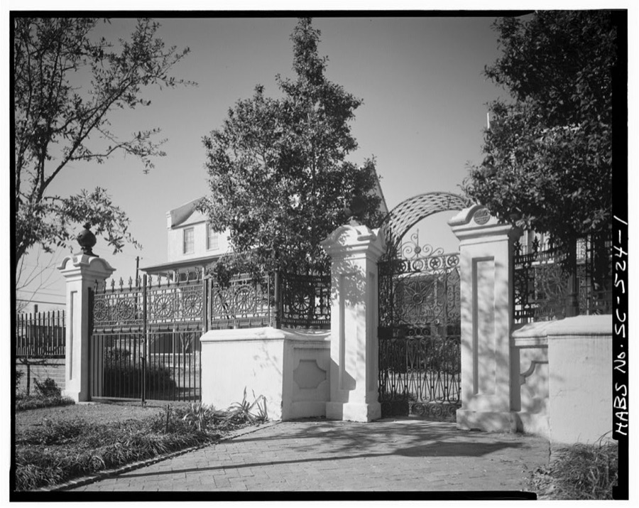
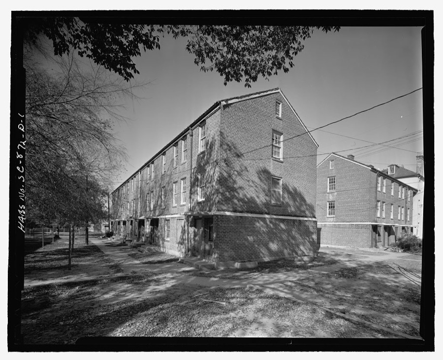
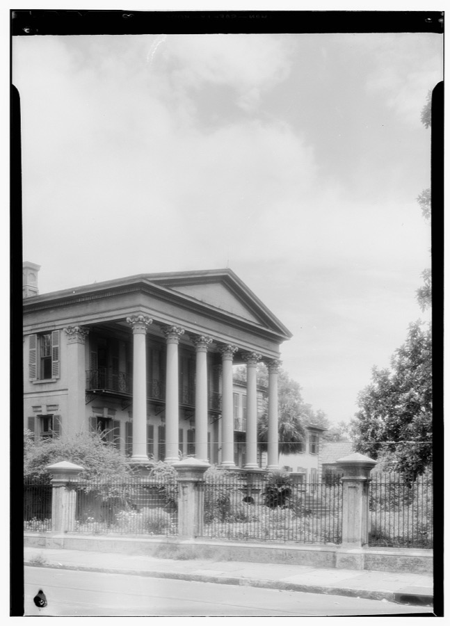
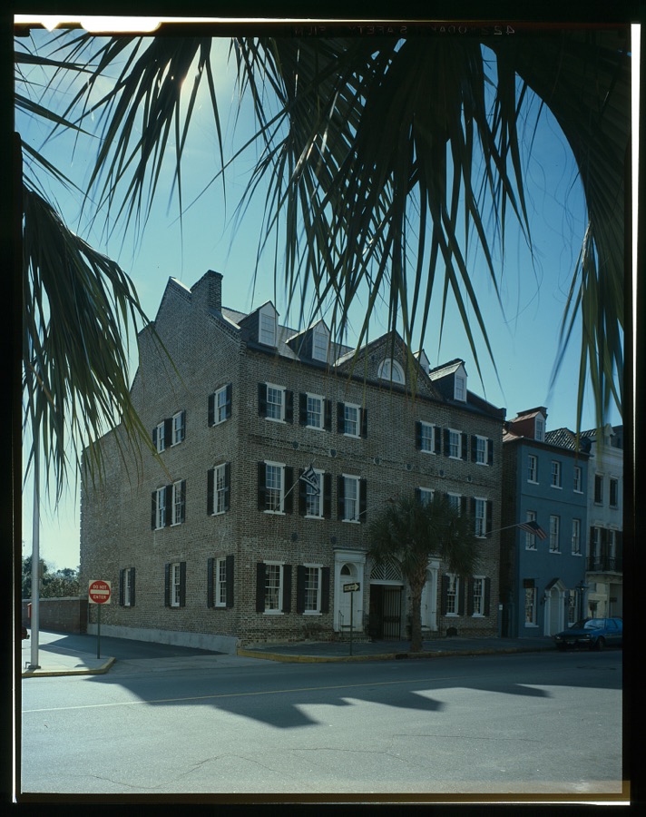
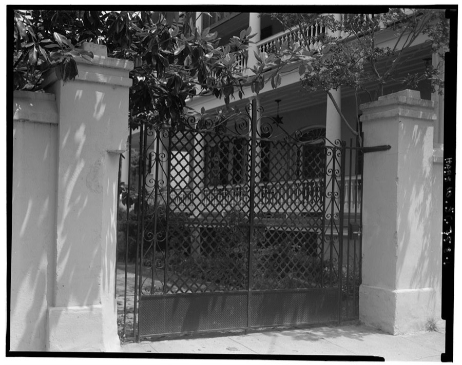
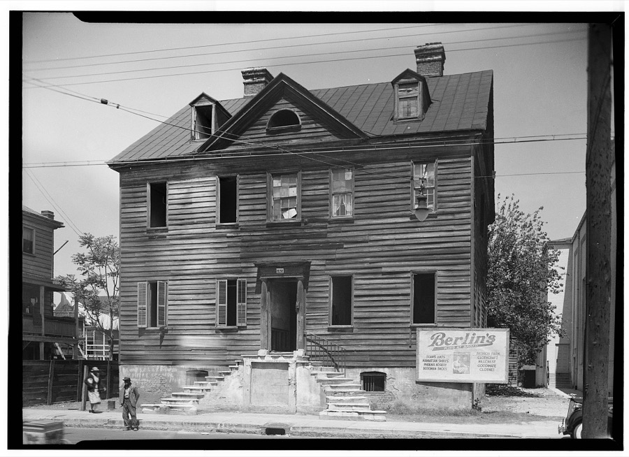
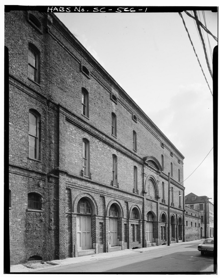
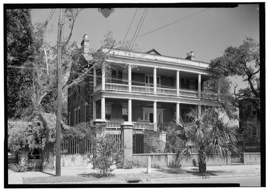
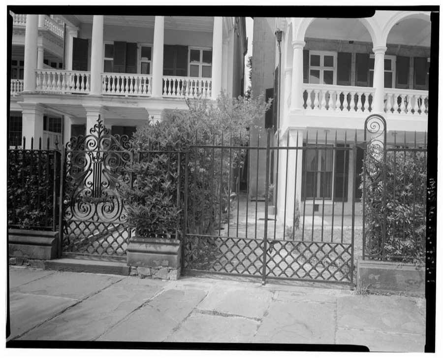
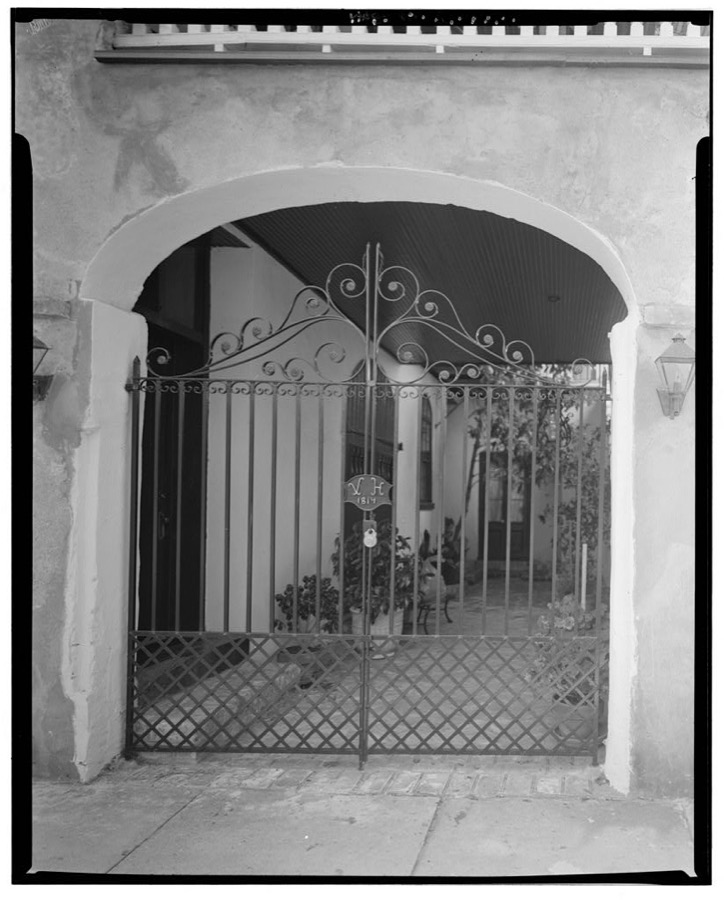
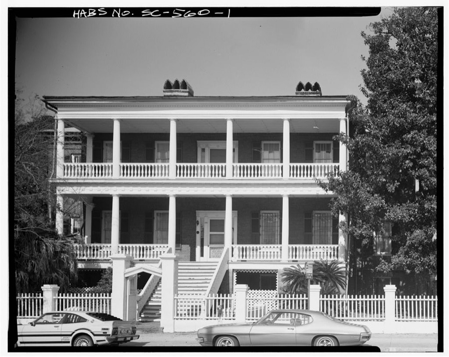
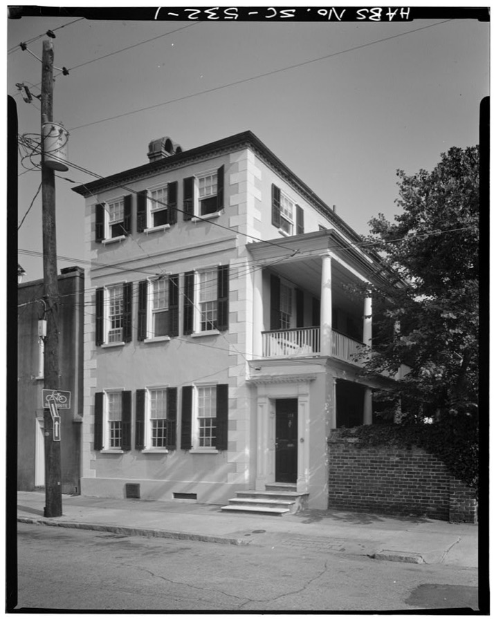
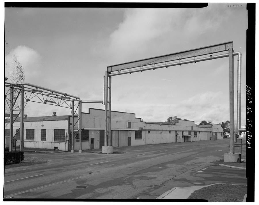
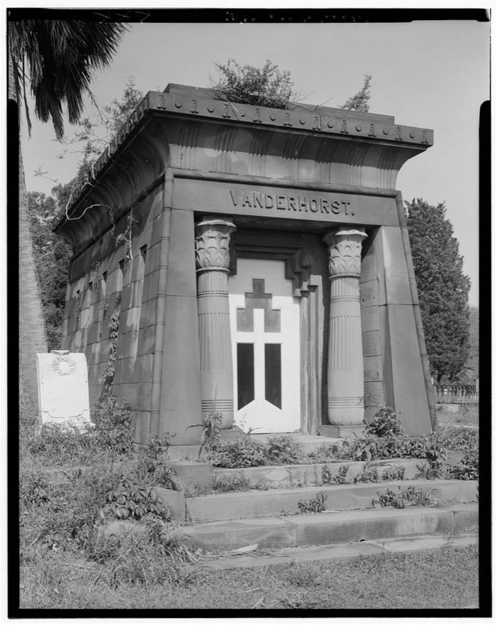
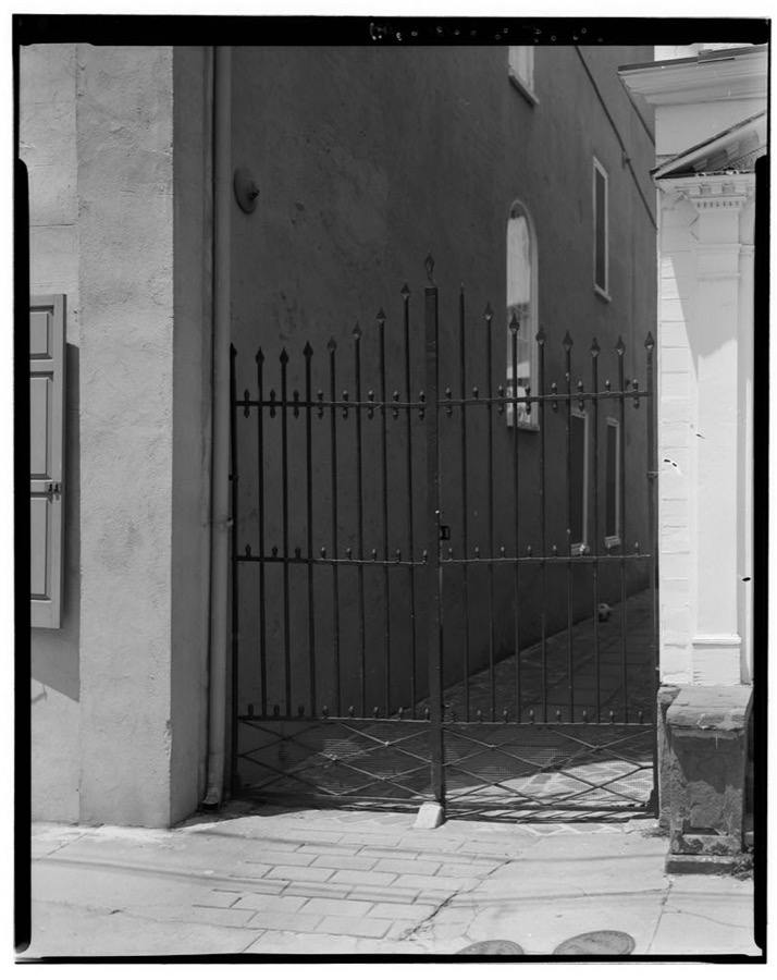
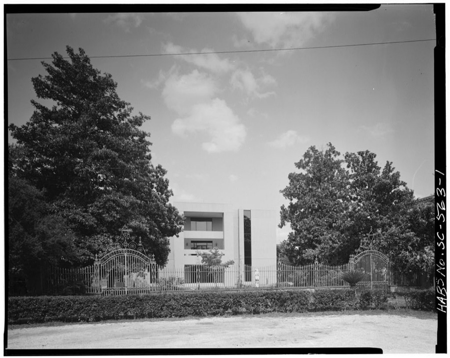
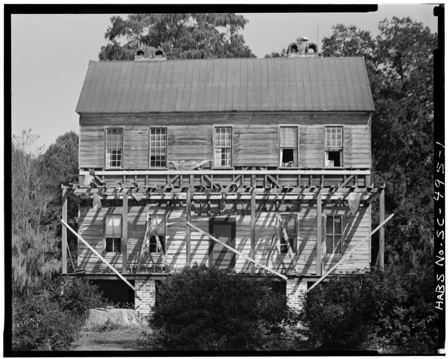
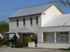
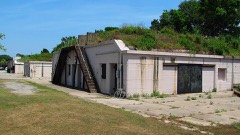
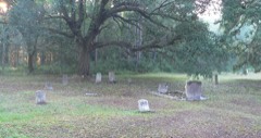
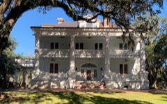
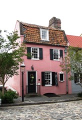
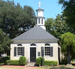
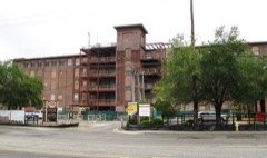
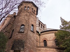
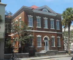
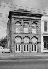
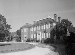
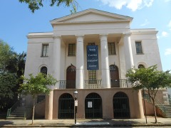
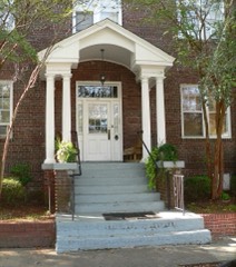
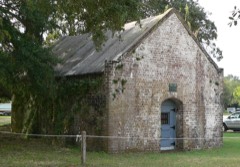
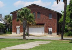
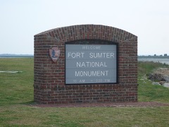
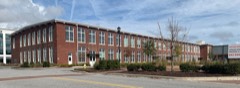
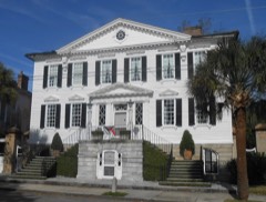
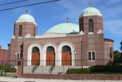
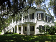
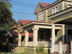
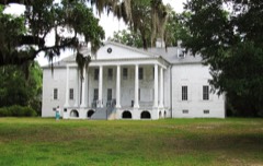
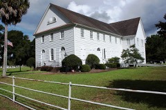
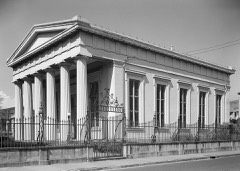
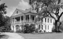
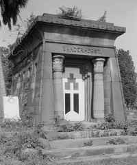
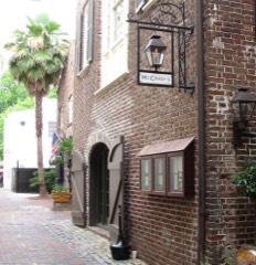
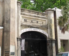
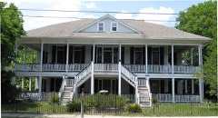
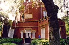
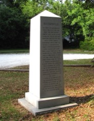
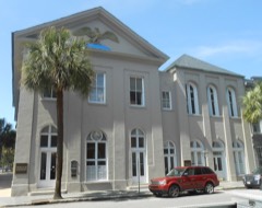
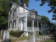
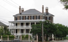
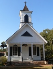
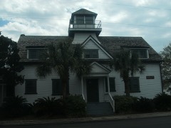
Every property in this county listed on the National Register of Historic Places, with the year it was listed and the federal nomination document.
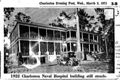
Sampled issues, machine-read from the Library of Congress scan and published page by page, so every headline and column is searchable text.
Charleston, S.C., 1868 to 1879. Machine-read from the Library of Congress scan.
Charleston, S.C., 1899 to 1902. Machine-read from the Library of Congress scan.
Charleston, S.C., 1865 to 18??. Machine-read from the Library of Congress scan.
Charleston, S.C., 1868 to 186?. Machine-read from the Library of Congress scan.
Charleston, S.C., 1865 to 1873. Machine-read from the Library of Congress scan.
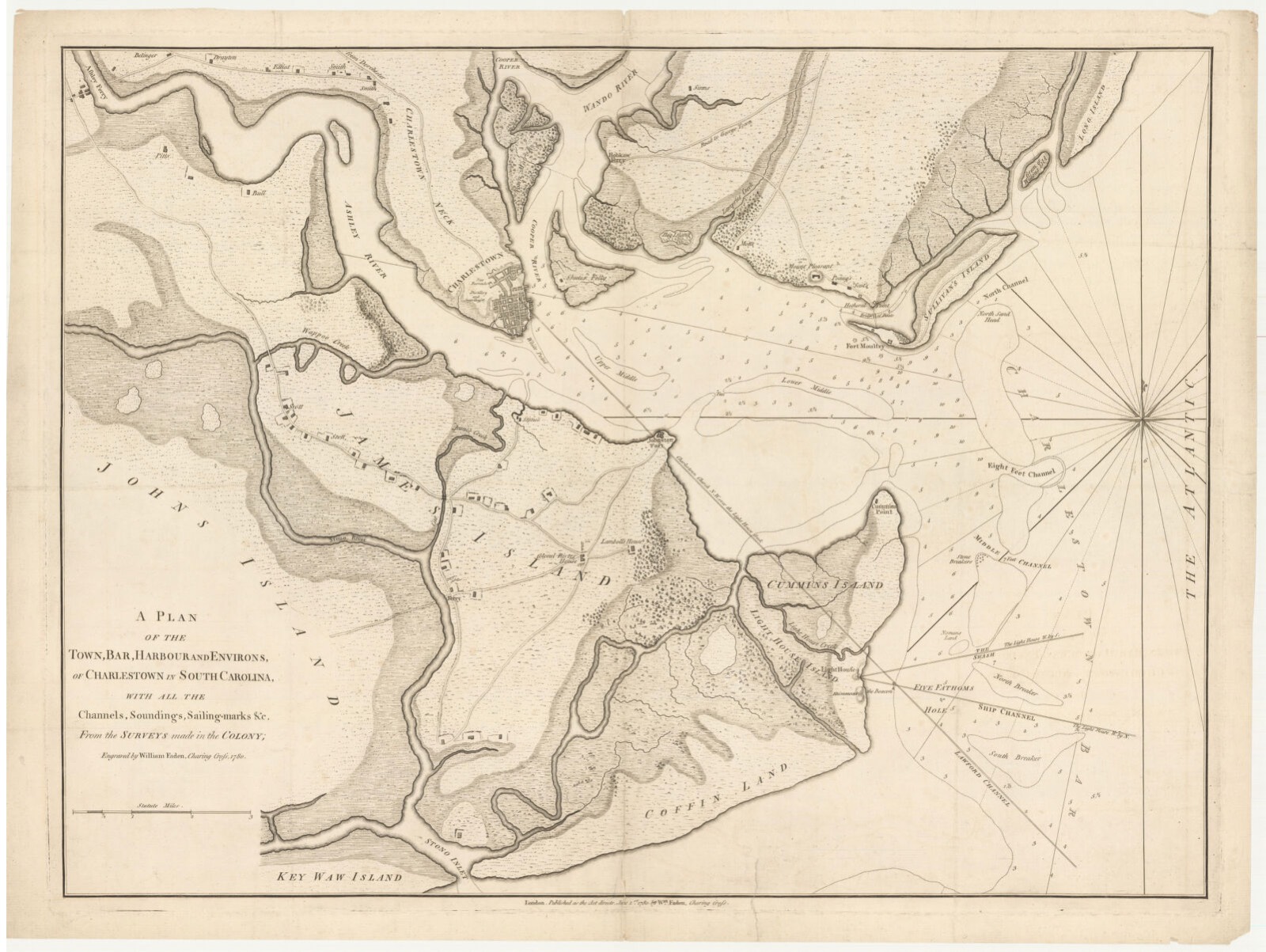
Drawn when these were printed as single large sheets: the town seen from the air, and the county divided into its farms with every owner named. Each opens the original at the Library of Congress.
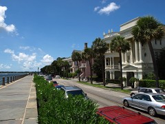
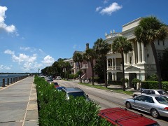
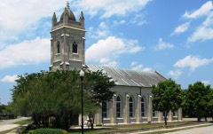
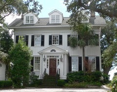
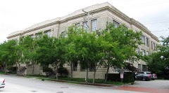
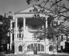
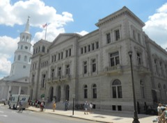
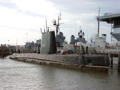
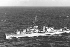
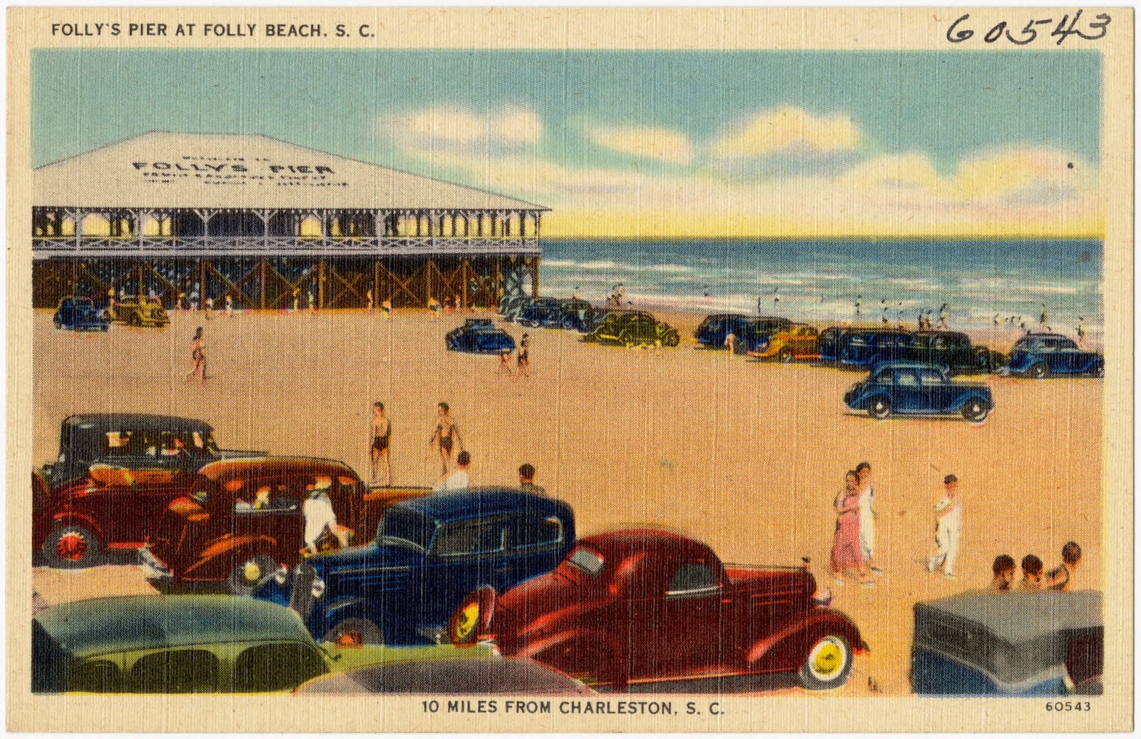
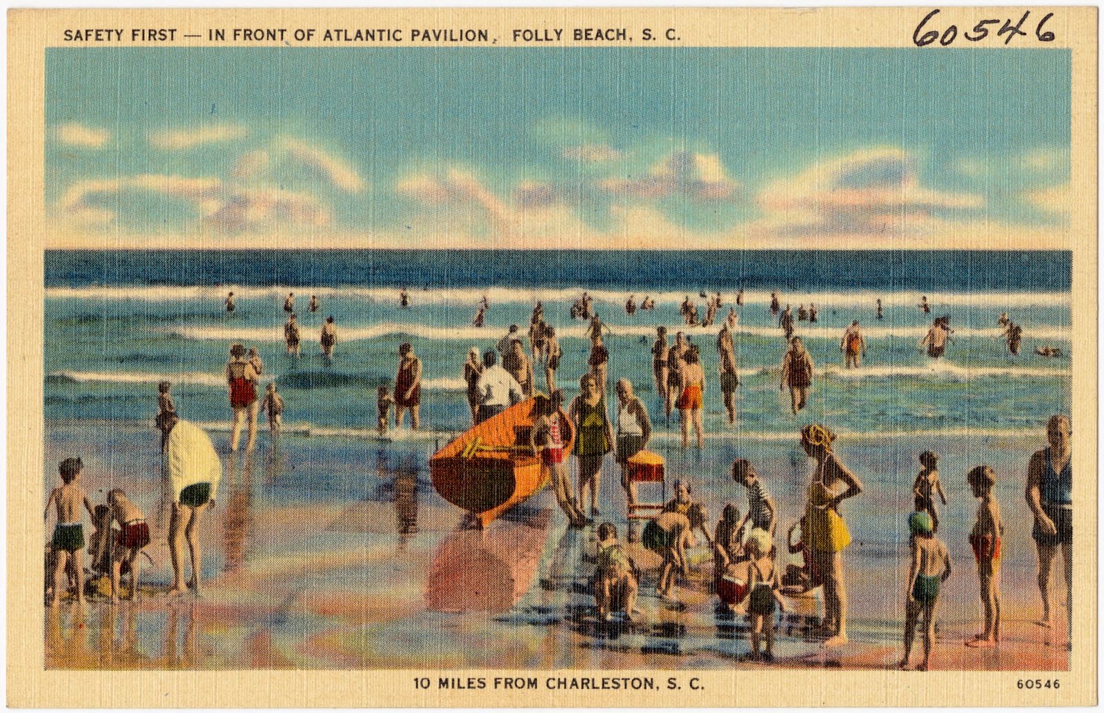
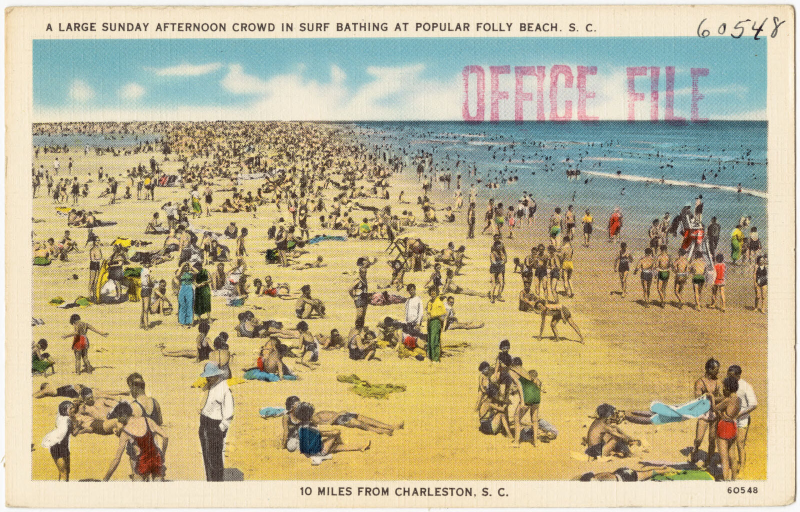
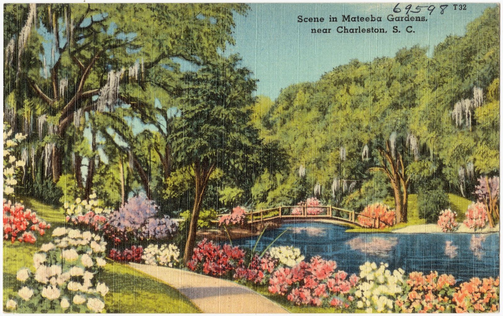
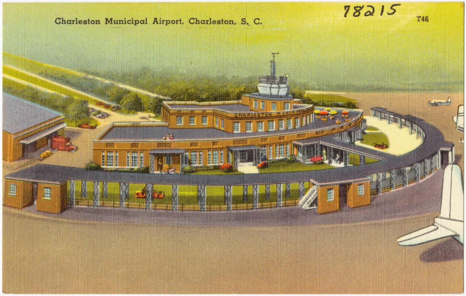
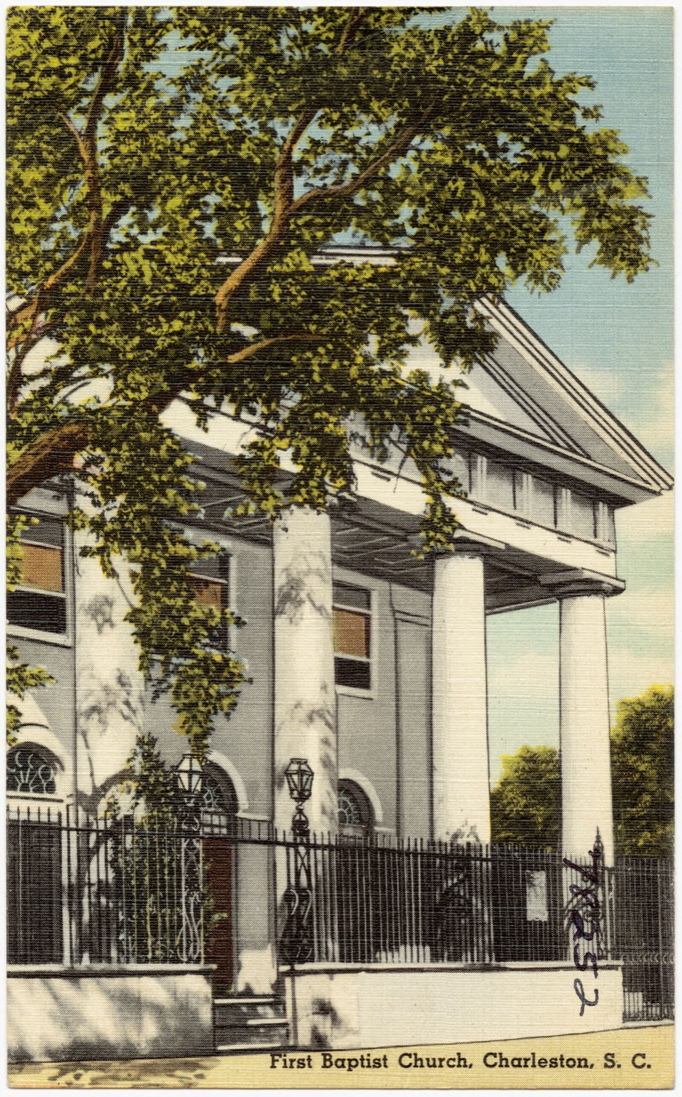
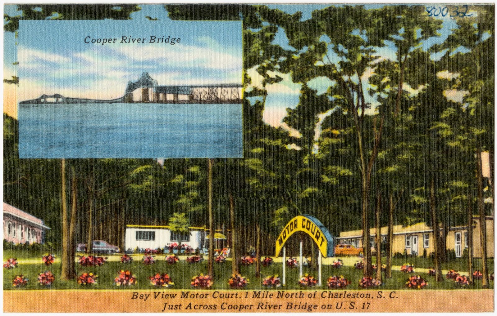
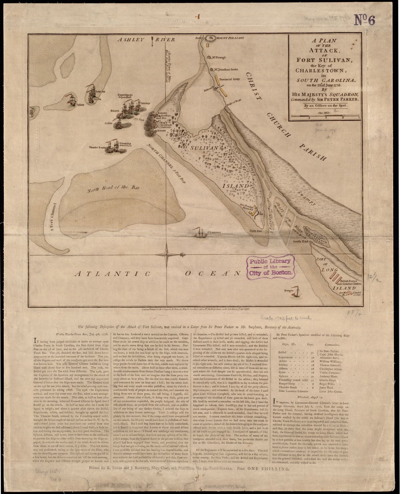
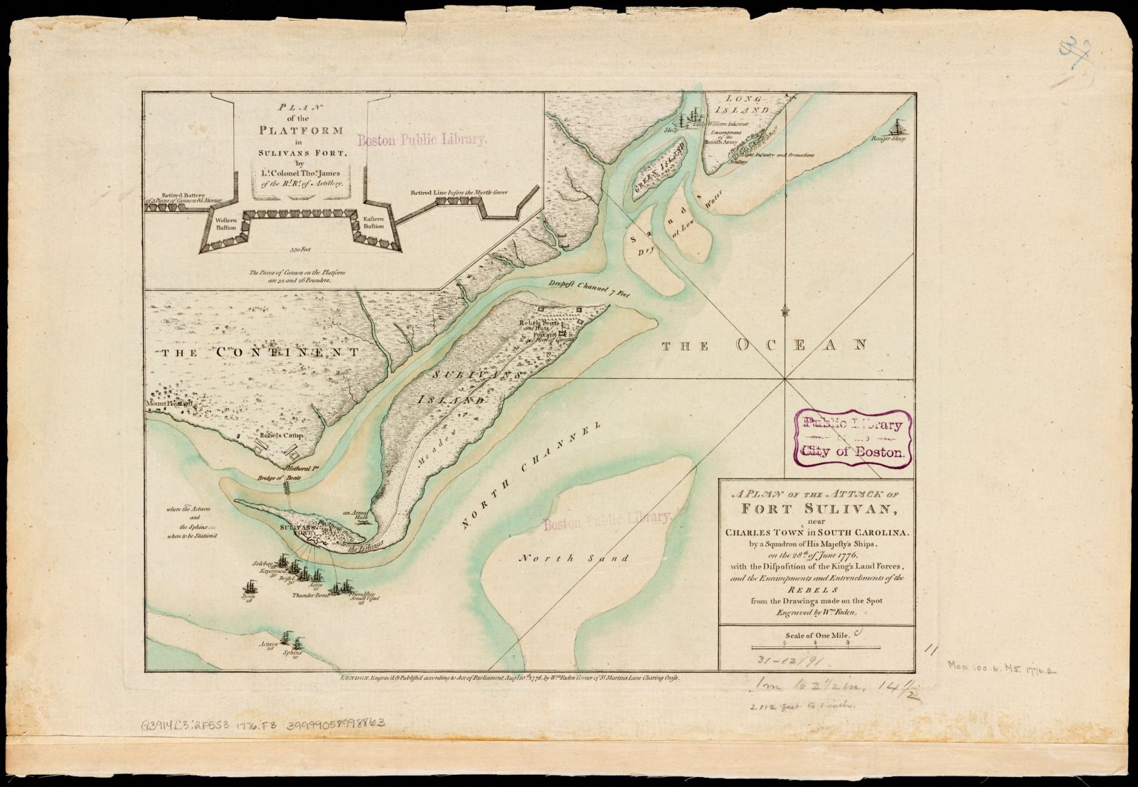
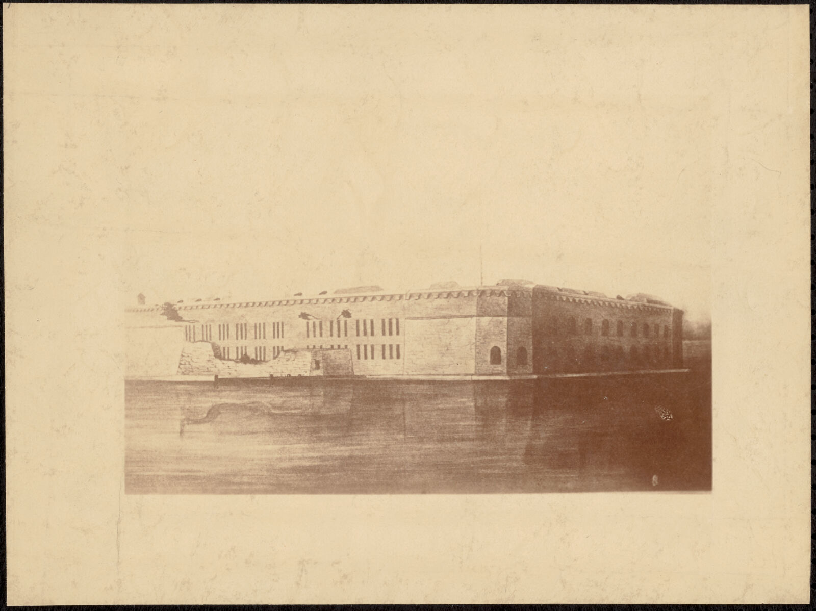
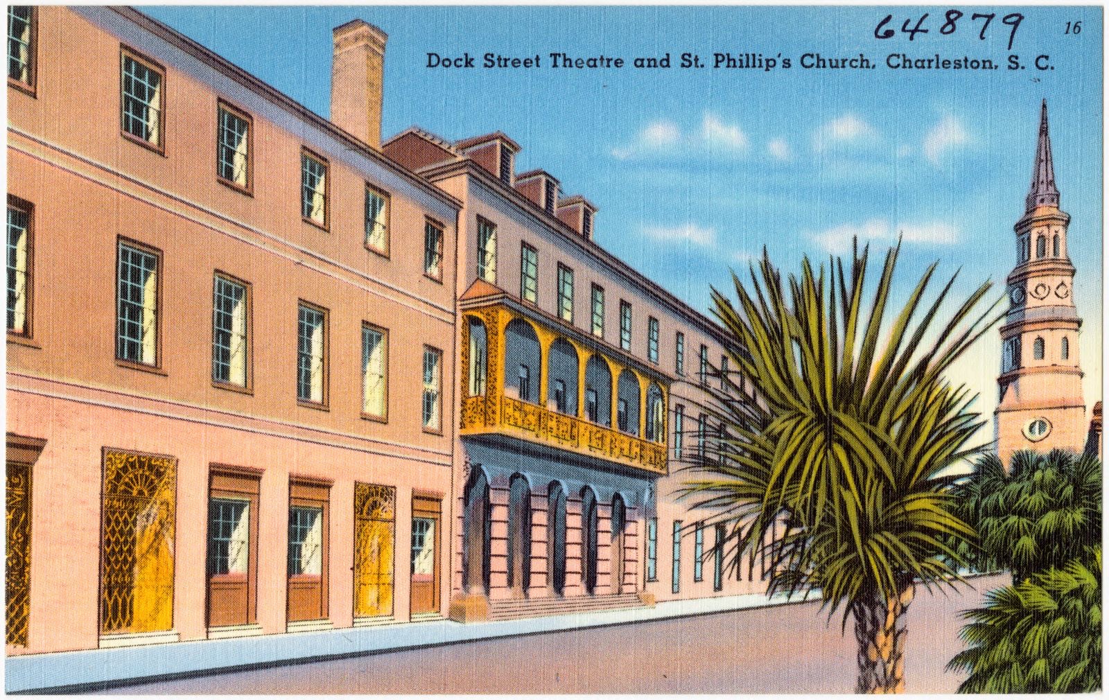
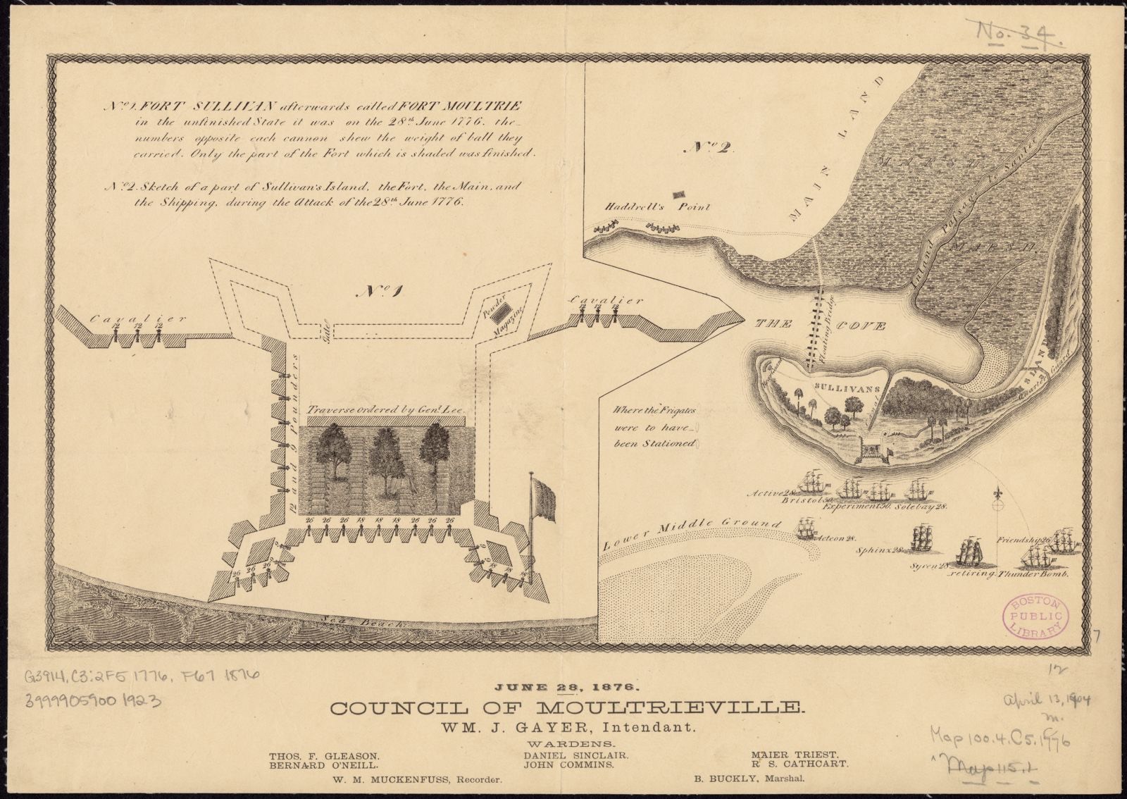
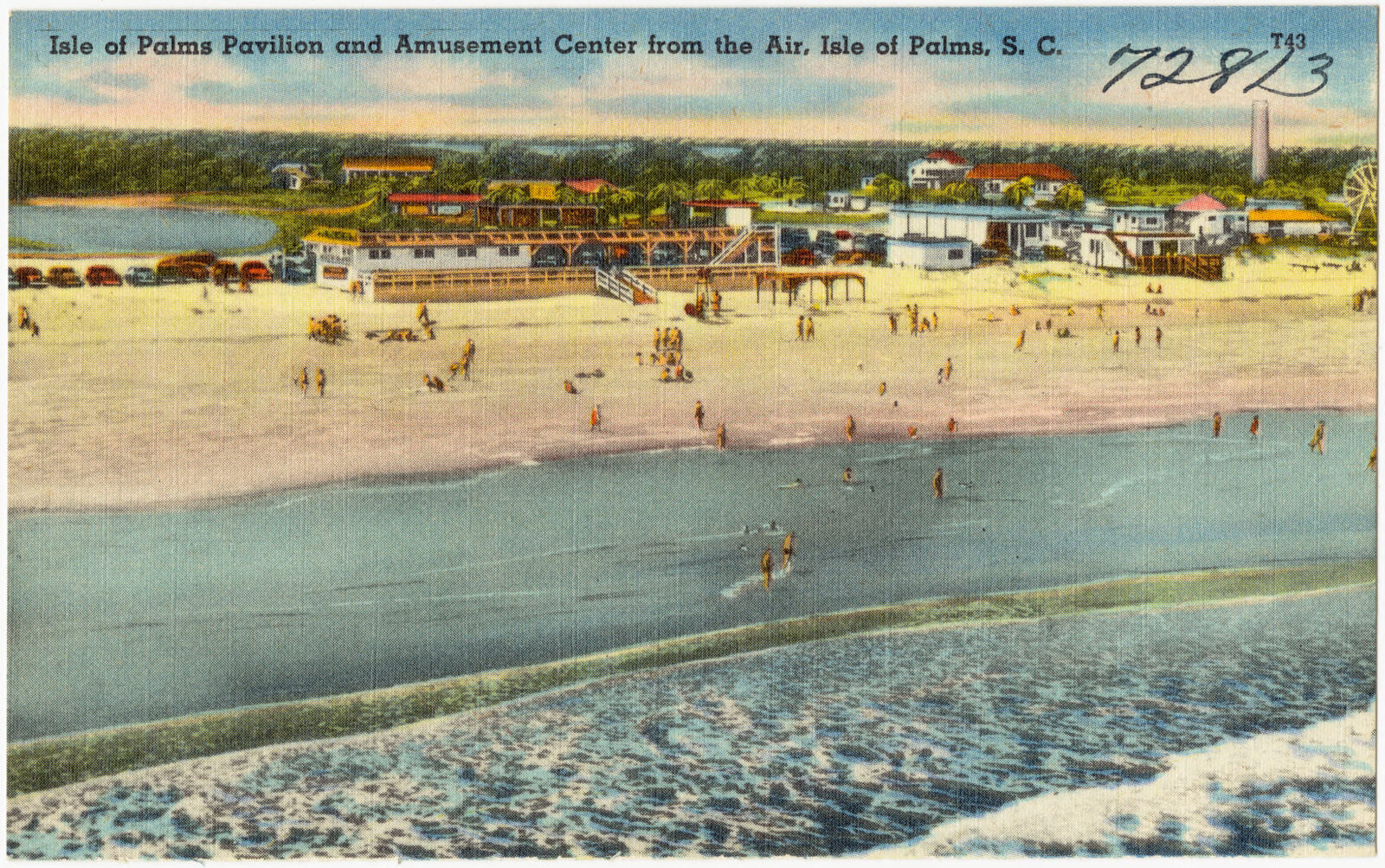
Selected from the Digital Public Library of America's 331 image records catalogued for this county. Every one shown here carries a public-domain status or a licence that permits reuse on a site that carries advertising; non-commercial, share-alike and restricted images are excluded. The selection is spread across the county's towns (at most eight per town), so no single institution's bulk upload crowds out the rest. Each opens the holding library's record, and the complete set at the Digital Public Library of America is one click away.
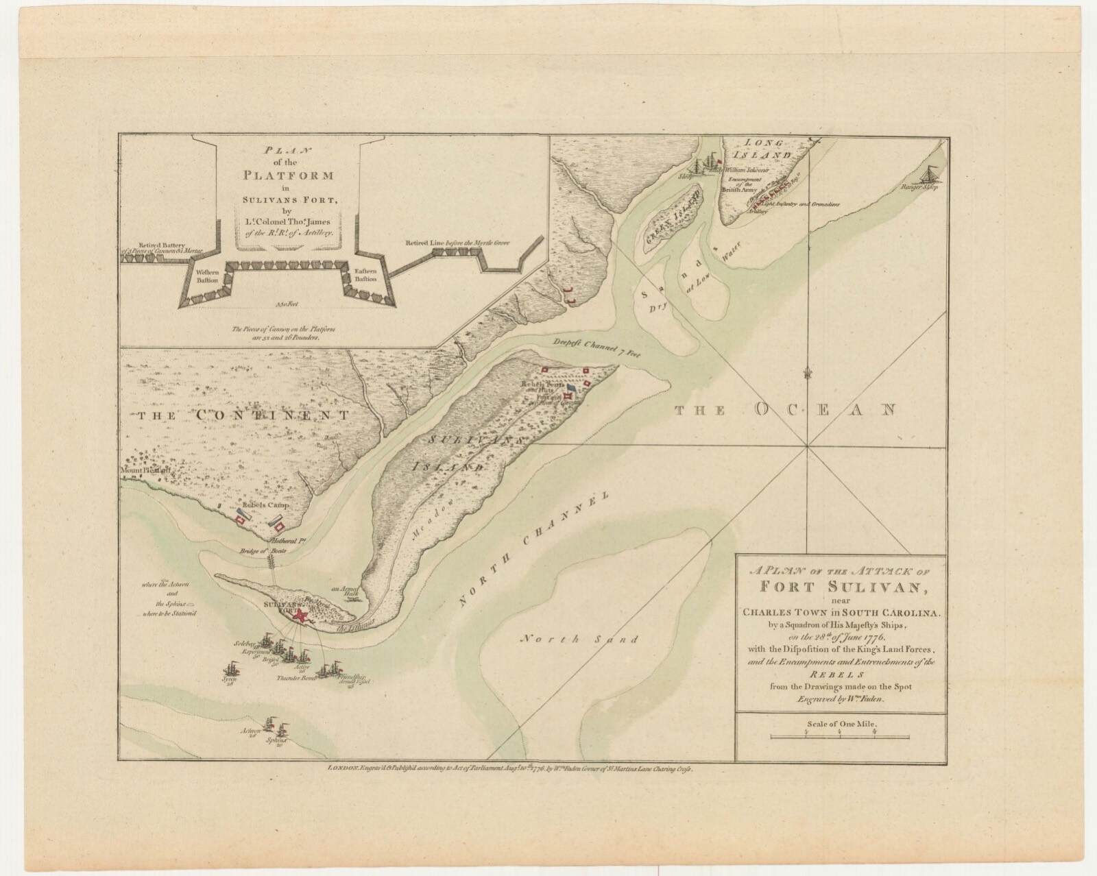
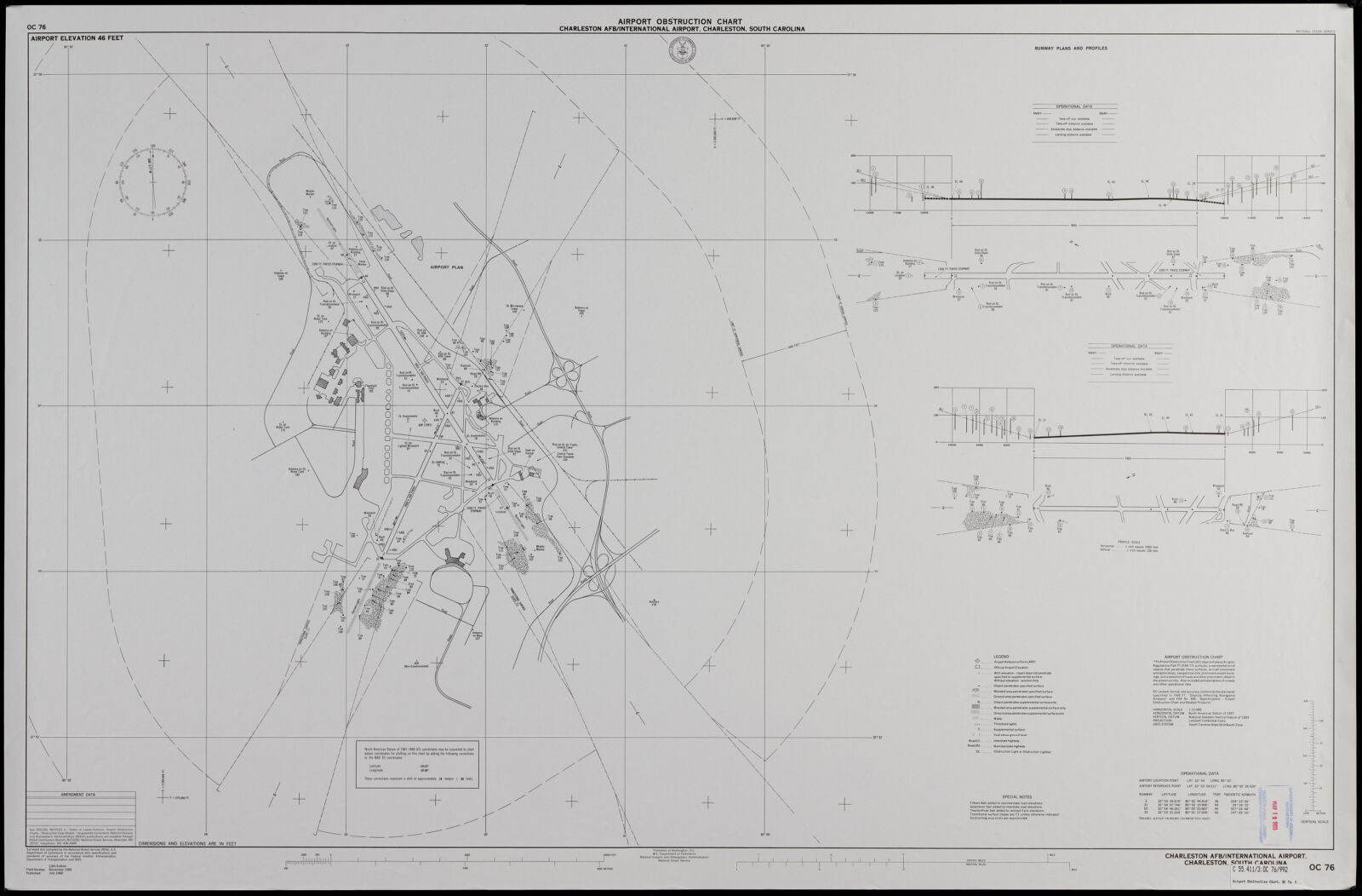
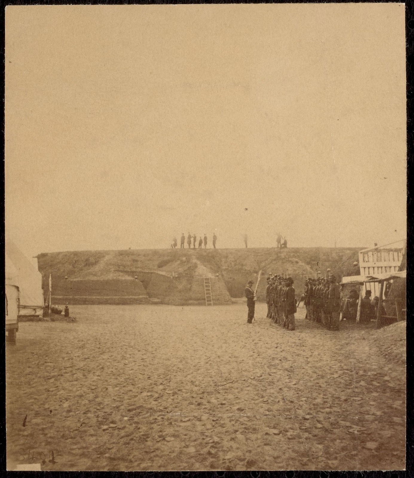
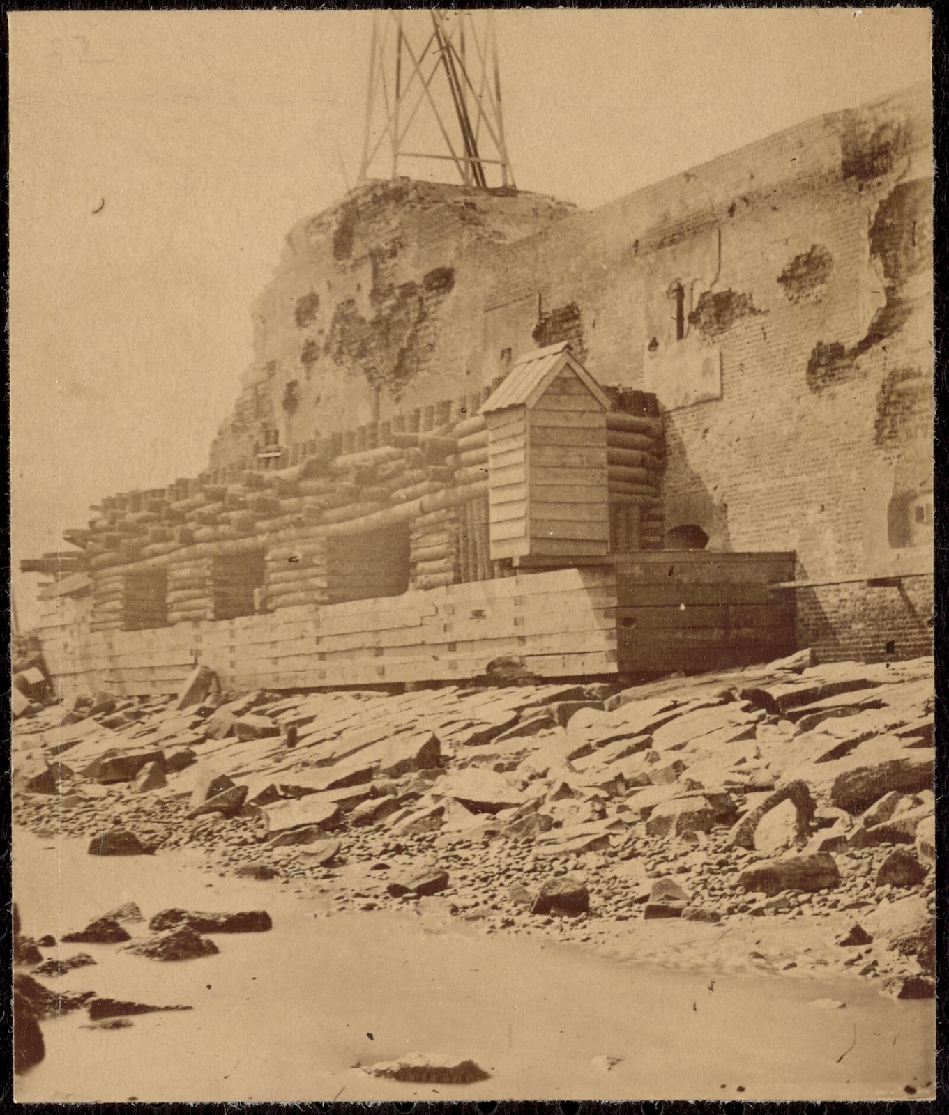
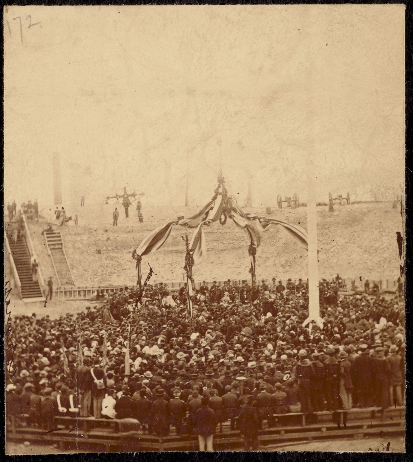
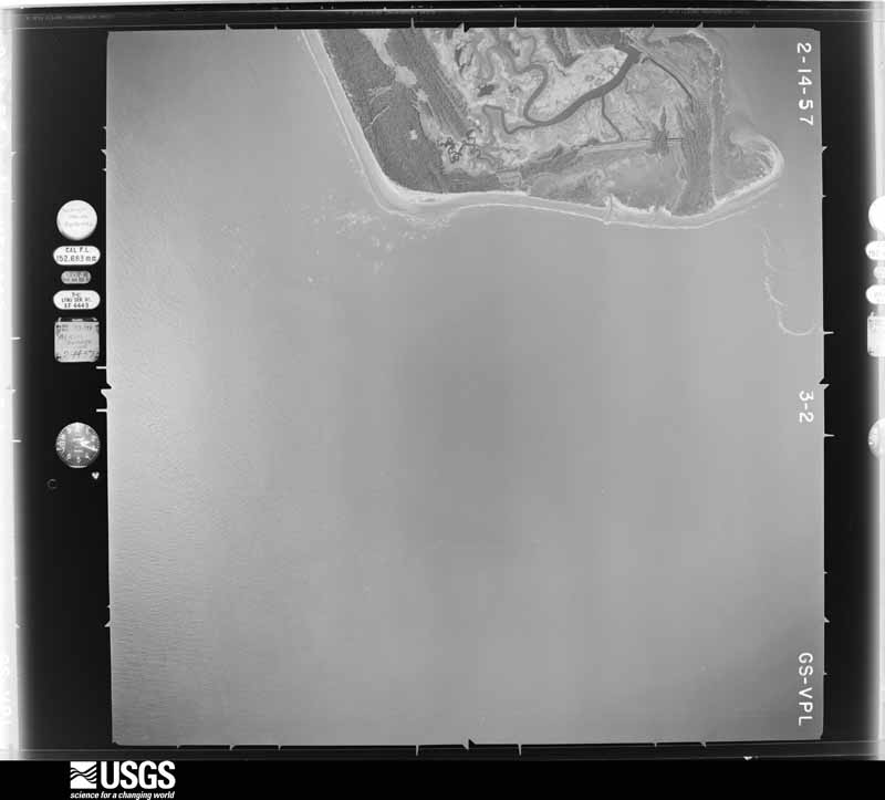
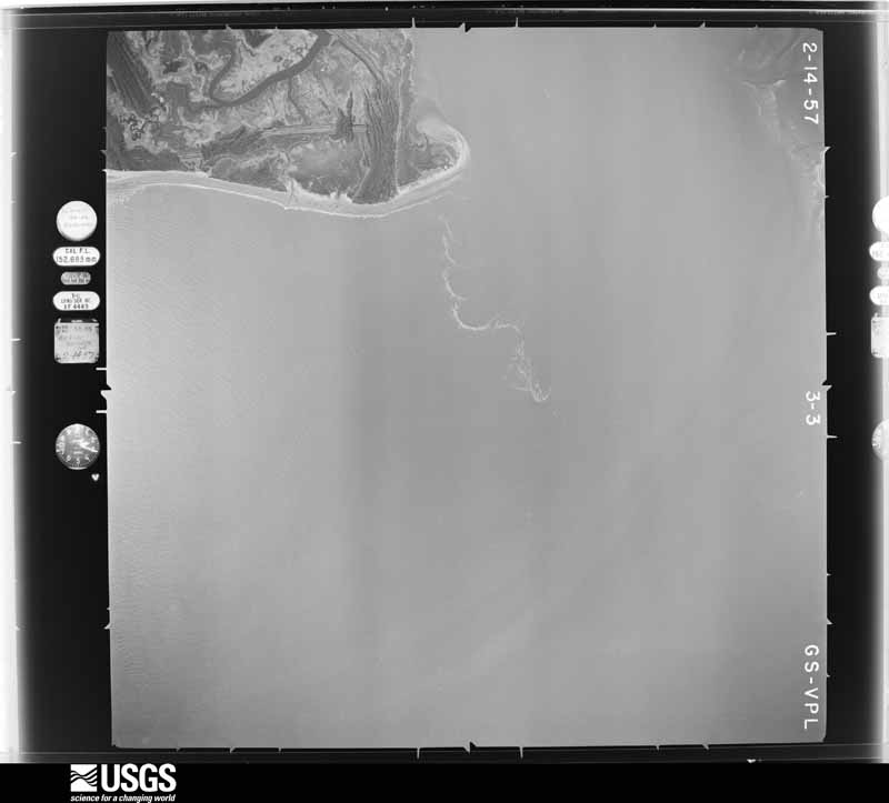
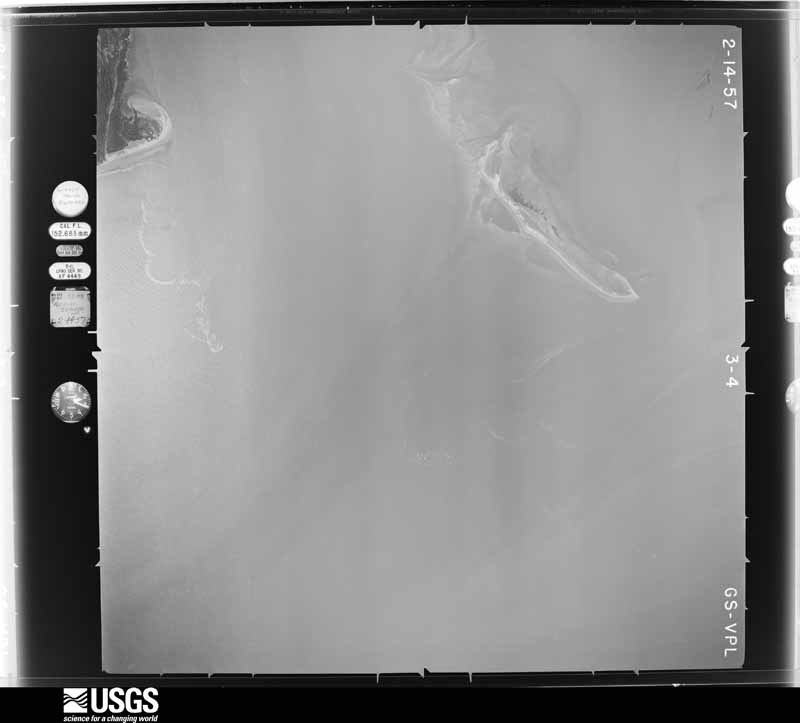
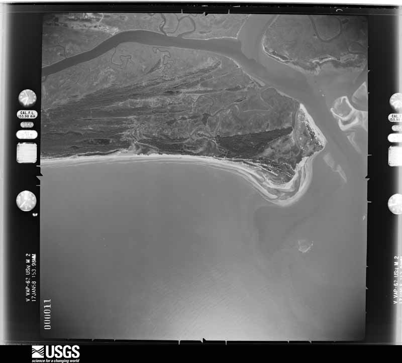
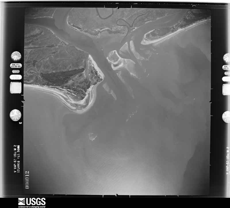
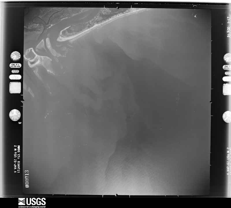
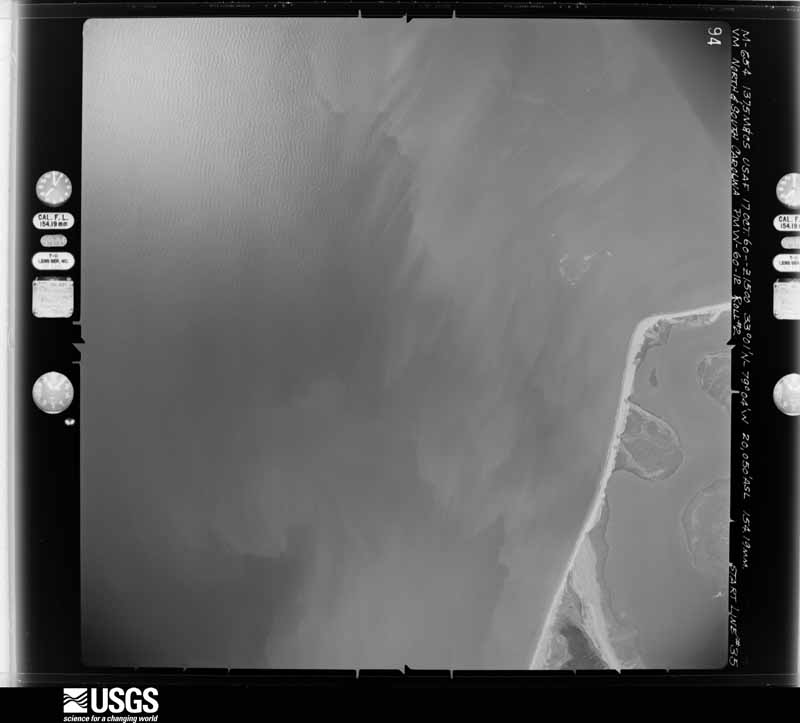
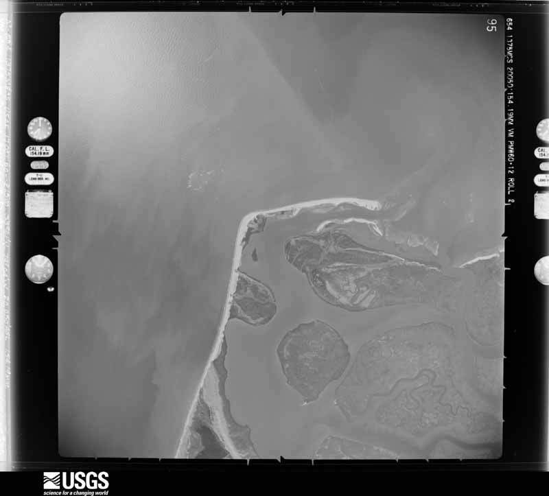
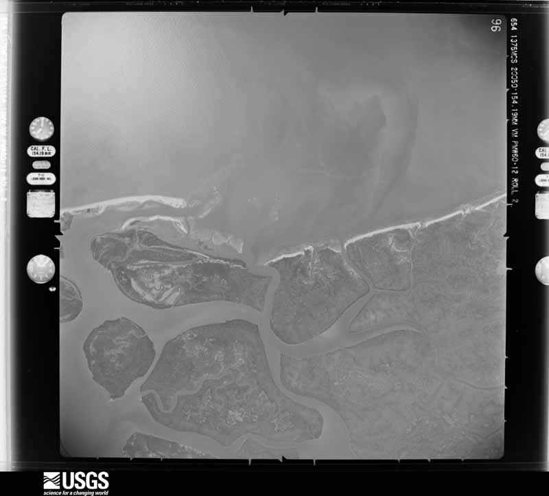
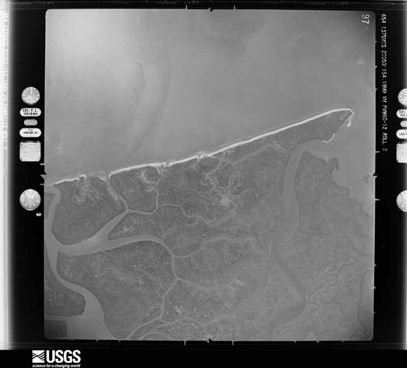
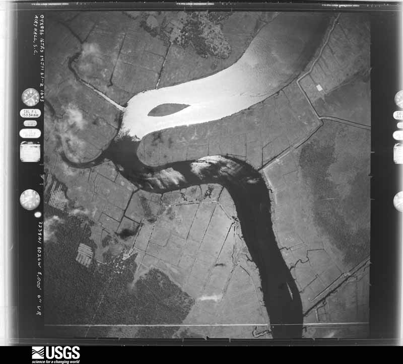
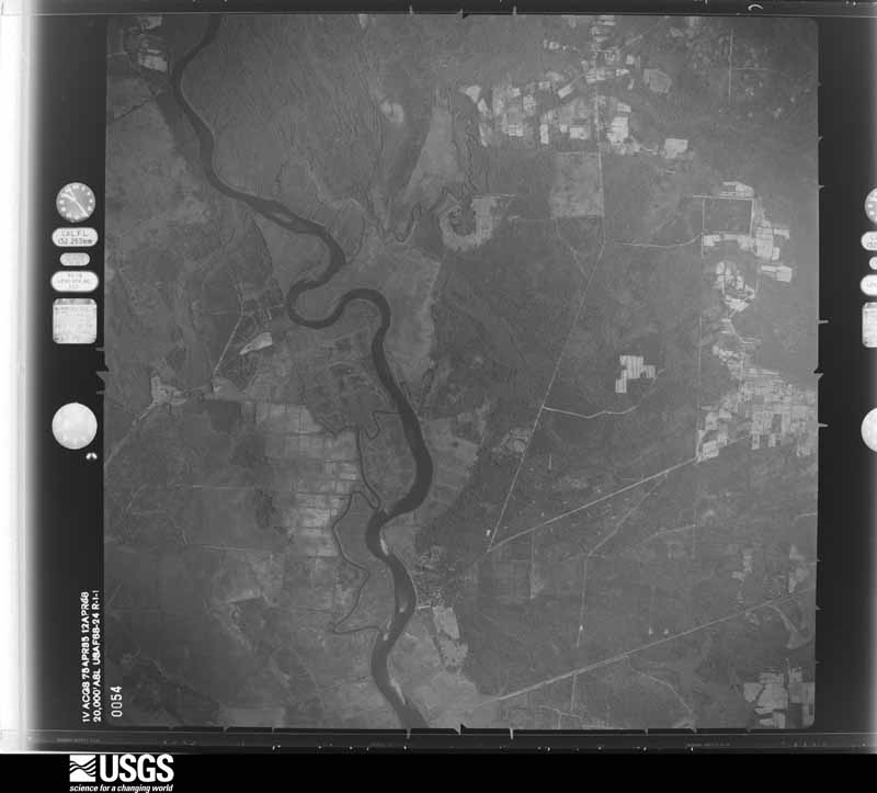
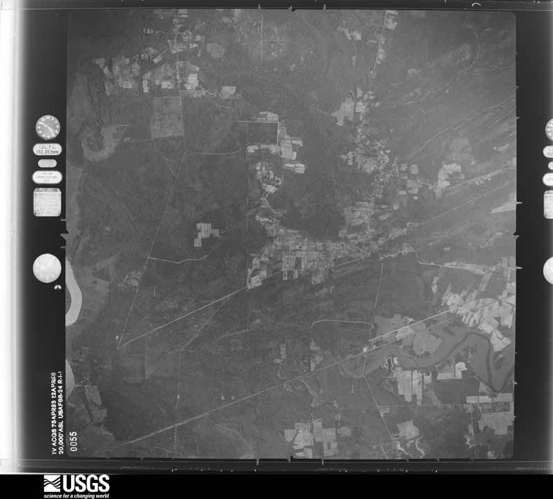
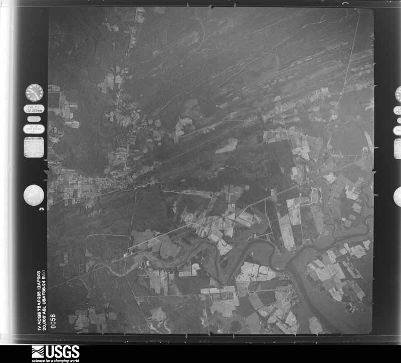
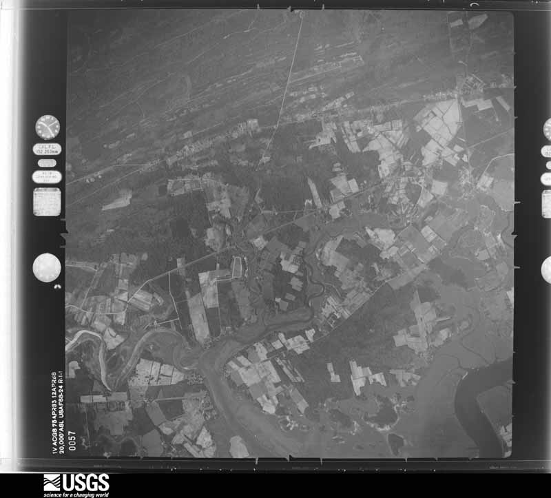
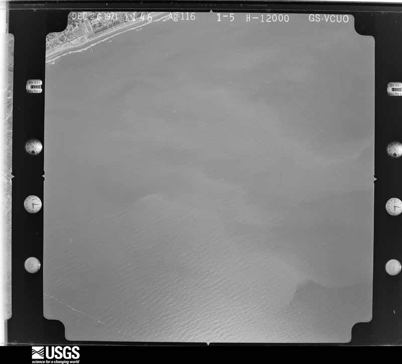
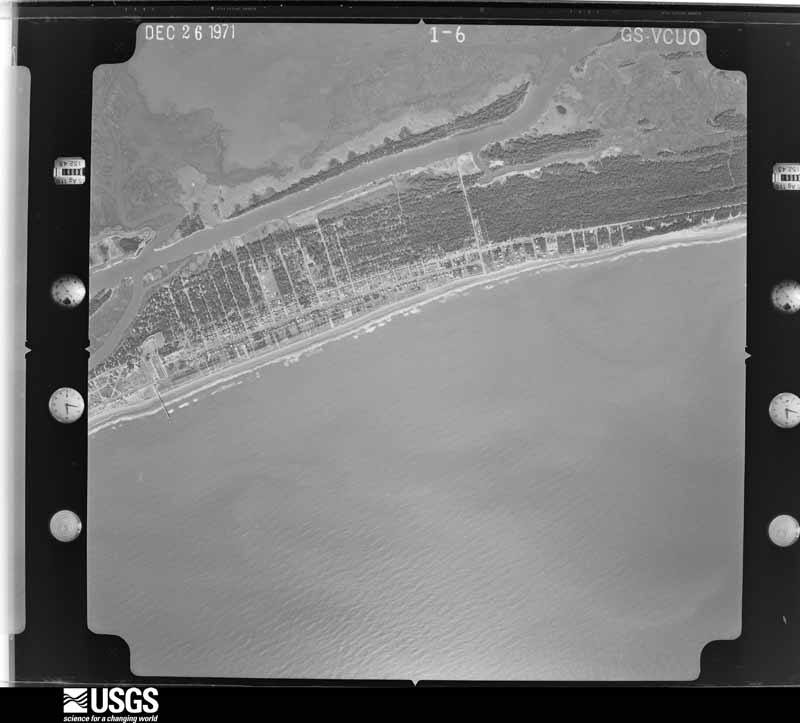
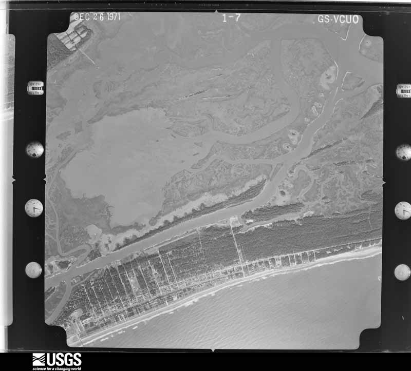
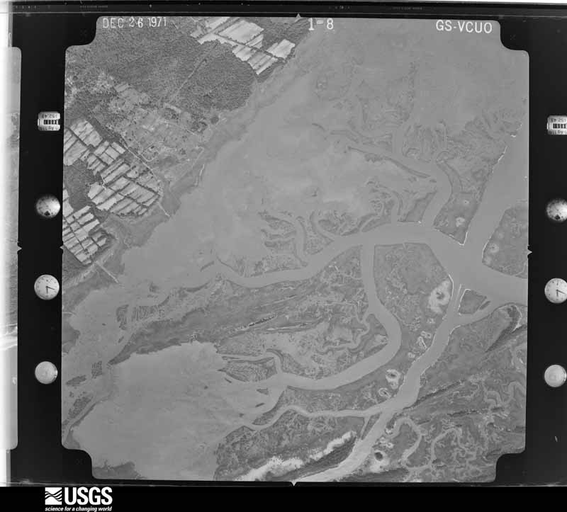
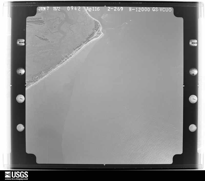
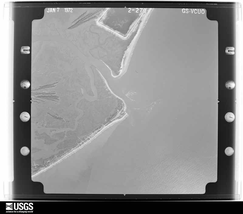
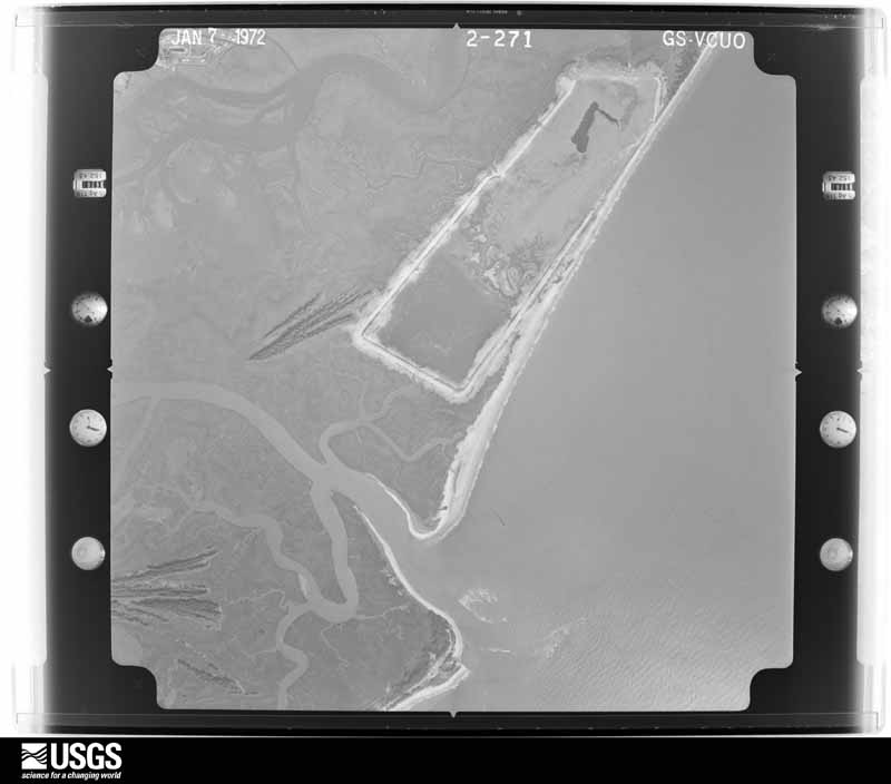
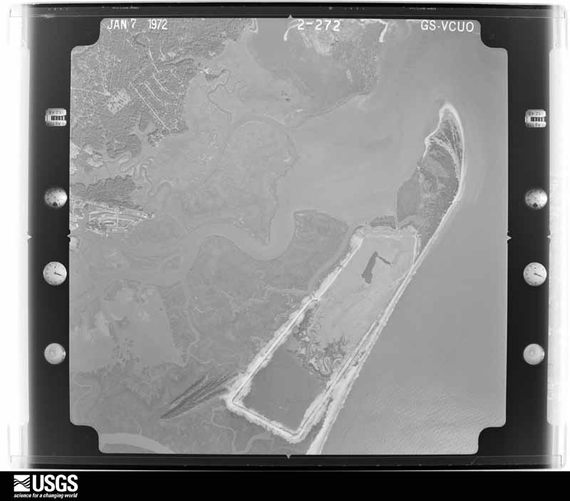
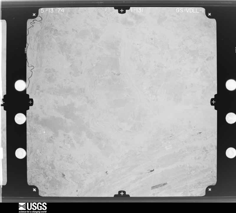
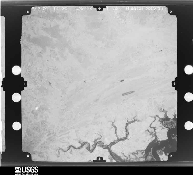
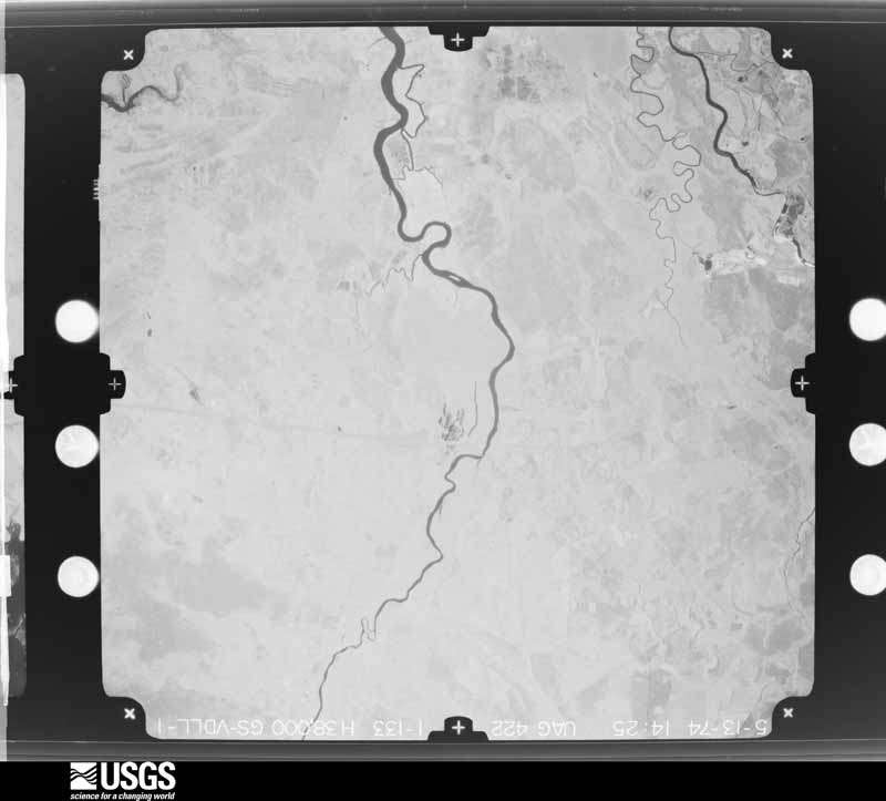
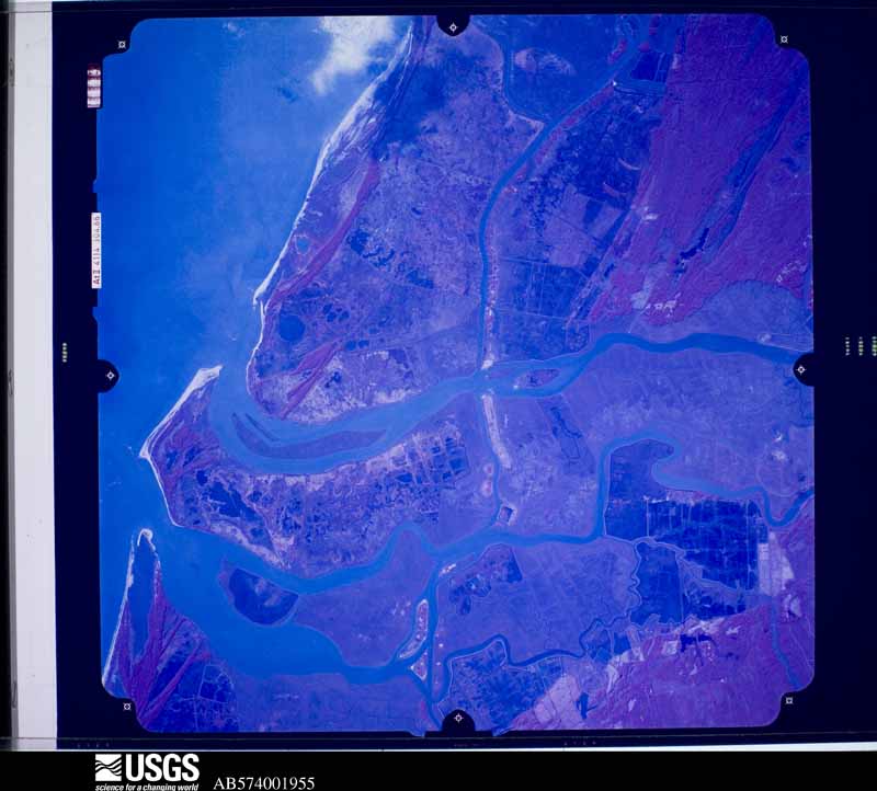
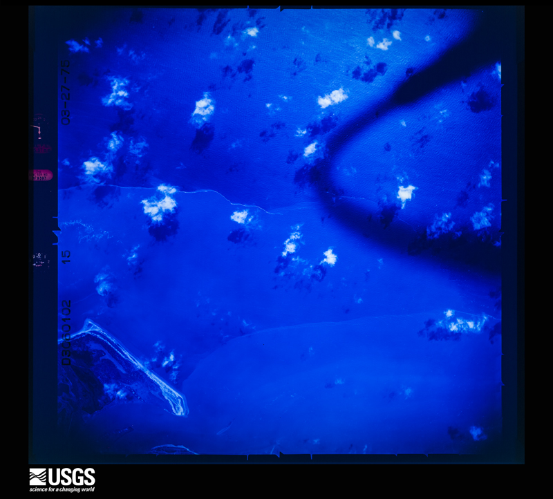
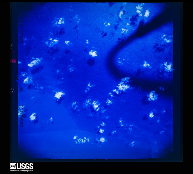
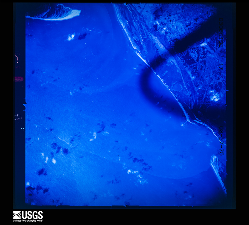
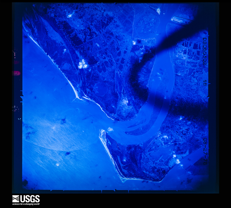
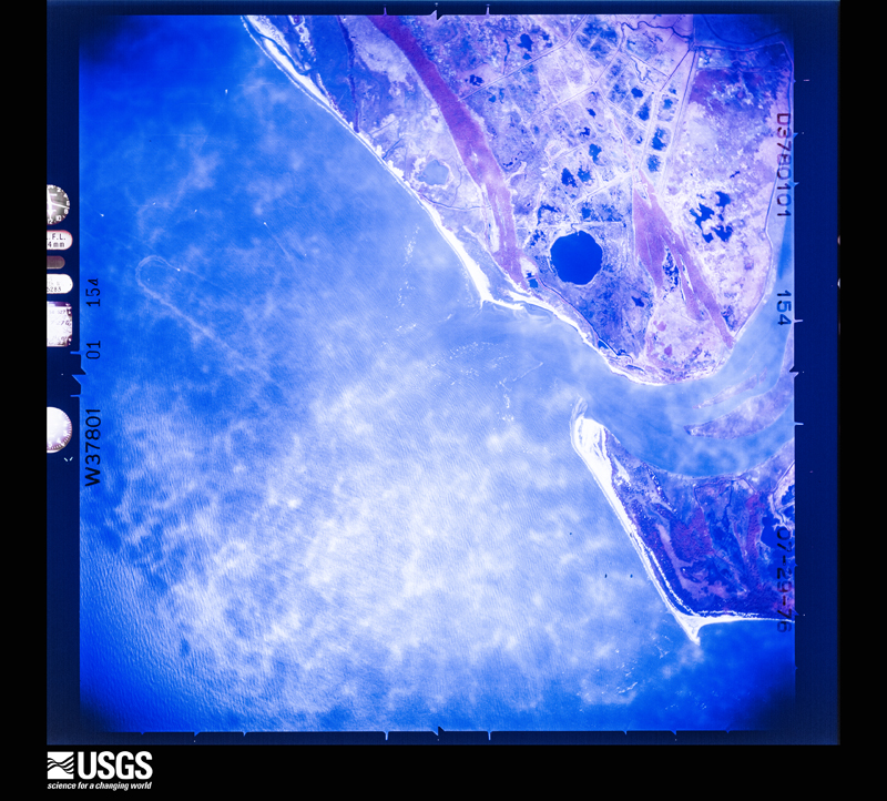
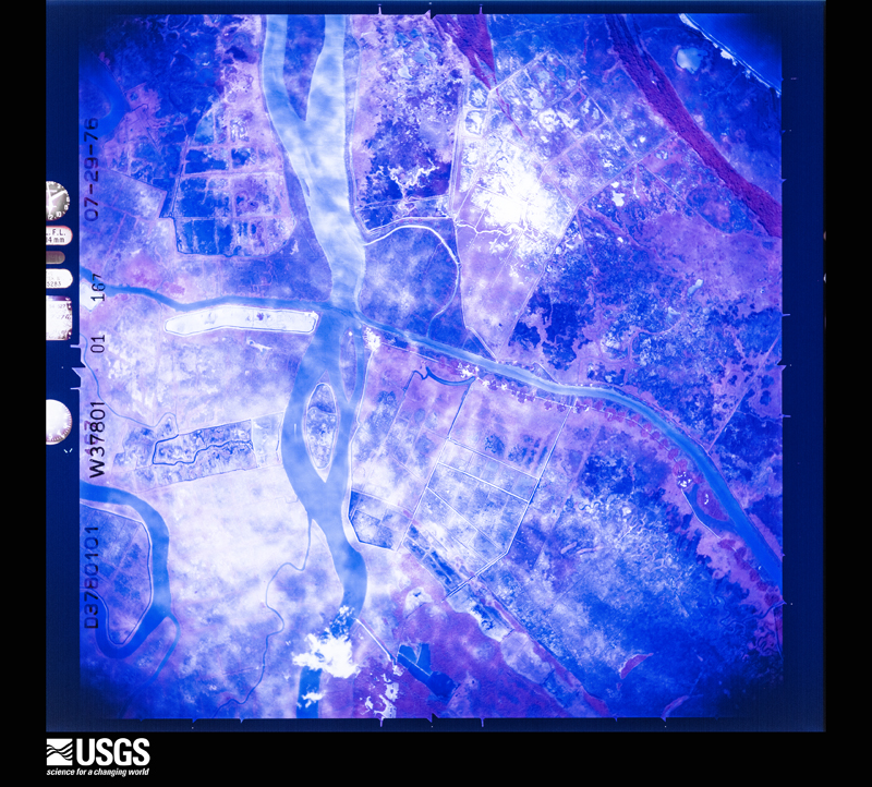
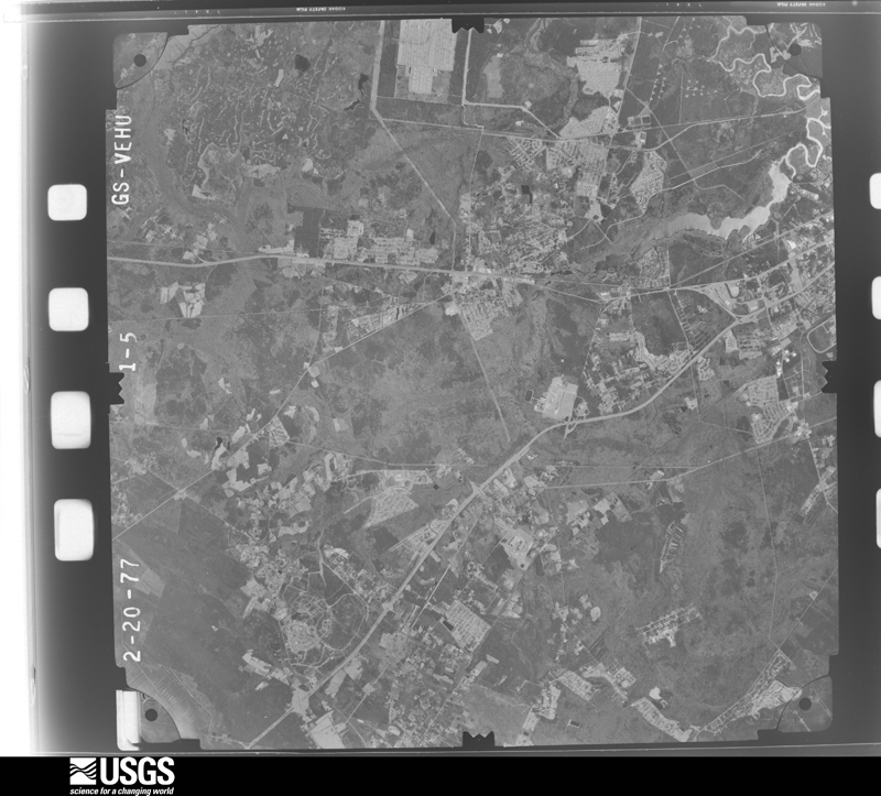
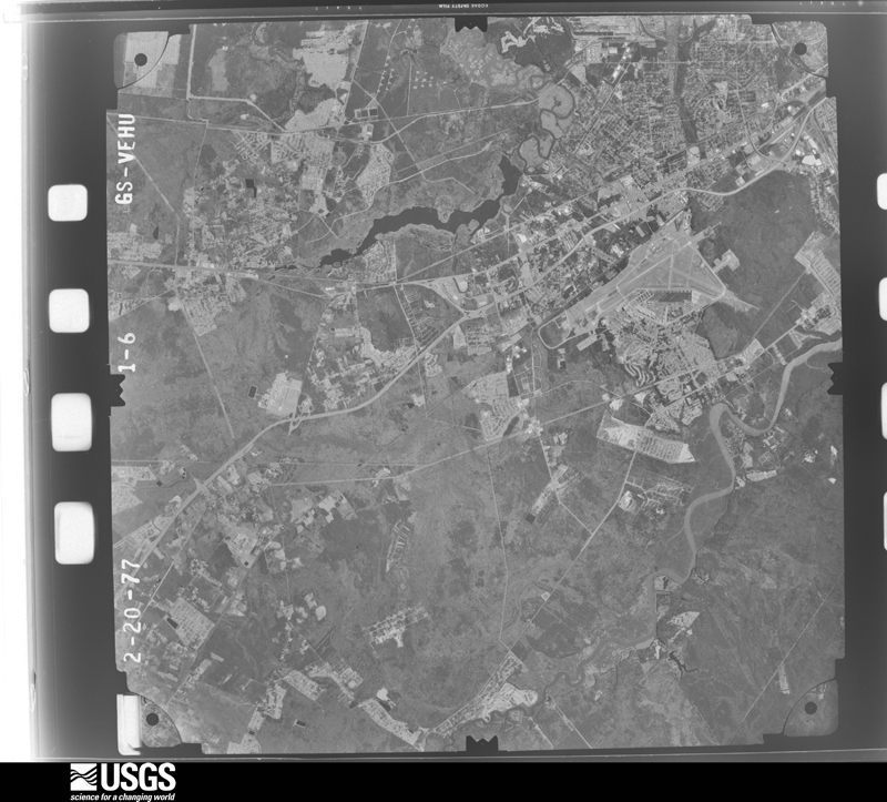
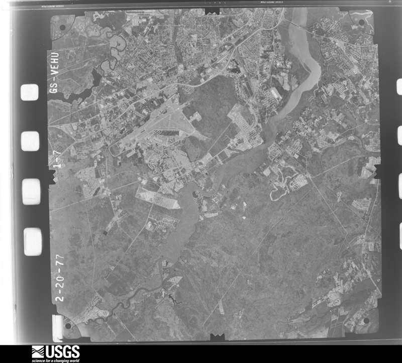
Flown by the U.S. Geological Survey between 1937 and 1989, the Aerial Photo Single Frames collection is the definitive mid-century view of the land: fields, roads and rivers as the camera saw them. The Survey holds 5,716 frames inside the rectangle that bounds this county; the 48 frames below were taken over the county itself, chosen across the decades of flights (at most four a year from that rectangle), so one flight cannot crowd out the rest. The full set is free to browse and download at EarthExplorer under the dataset Aerial Photo Single Frames.
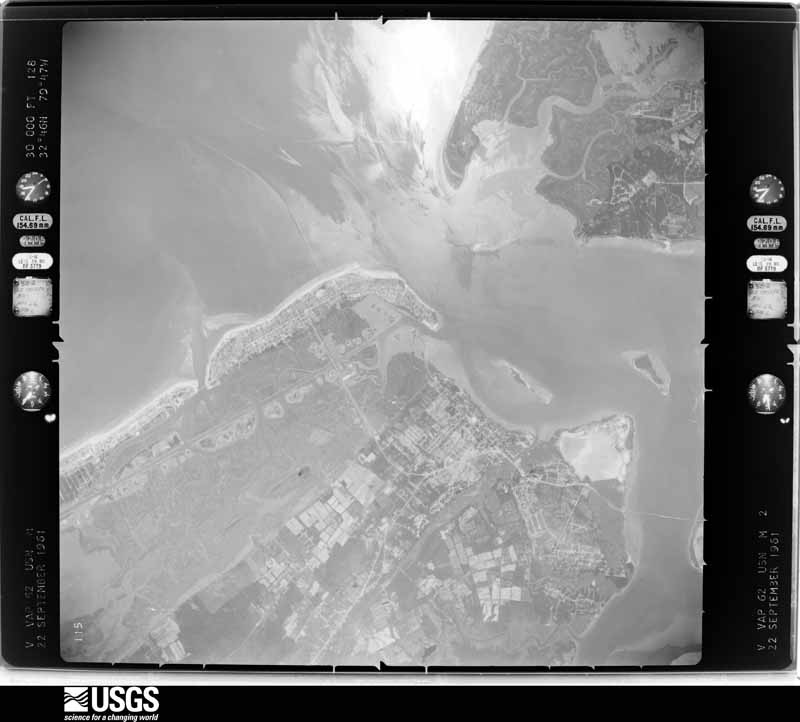
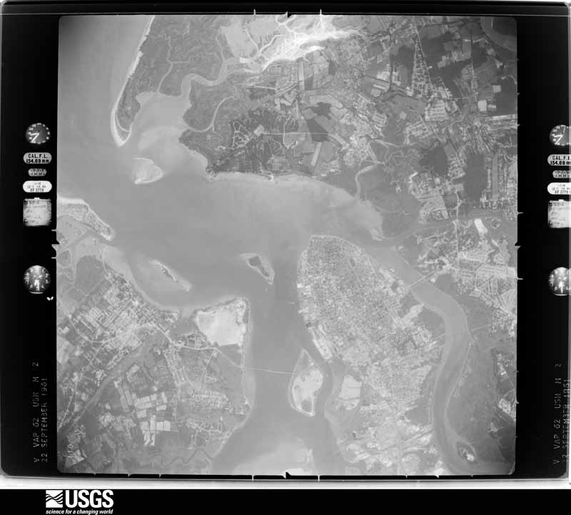
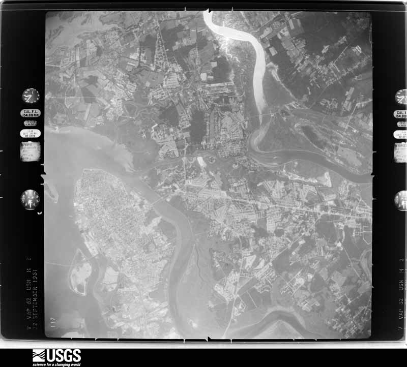
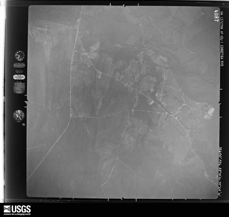
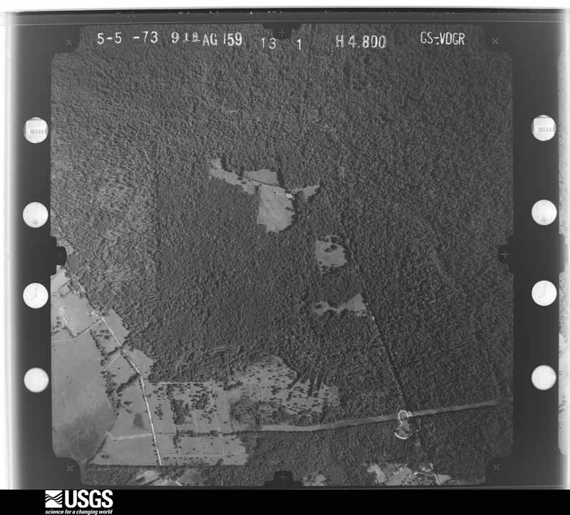
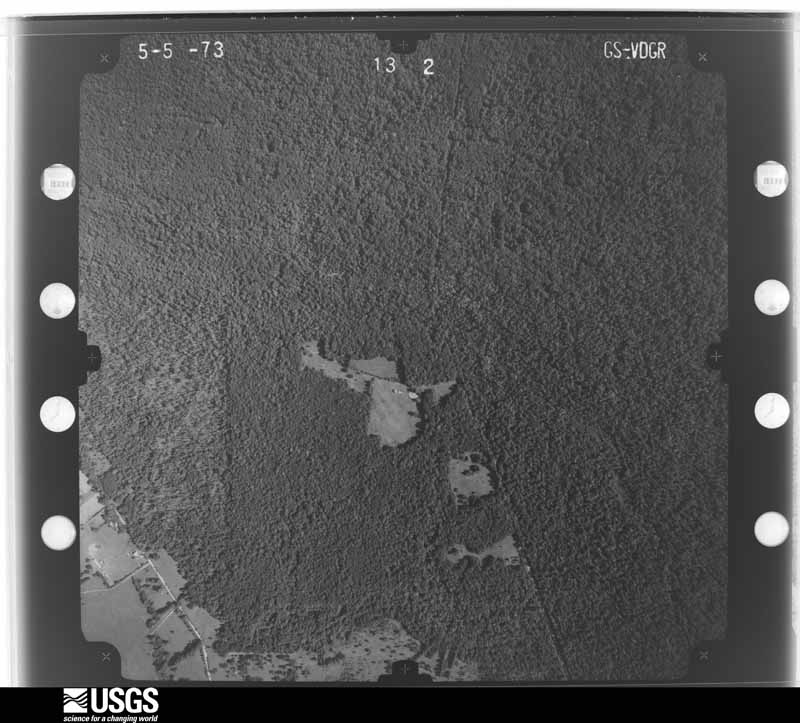
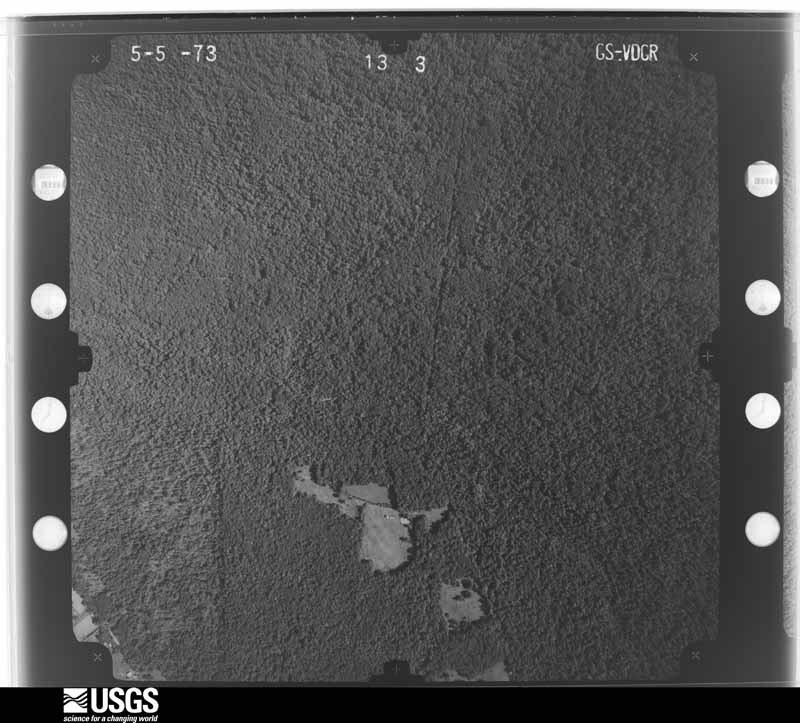
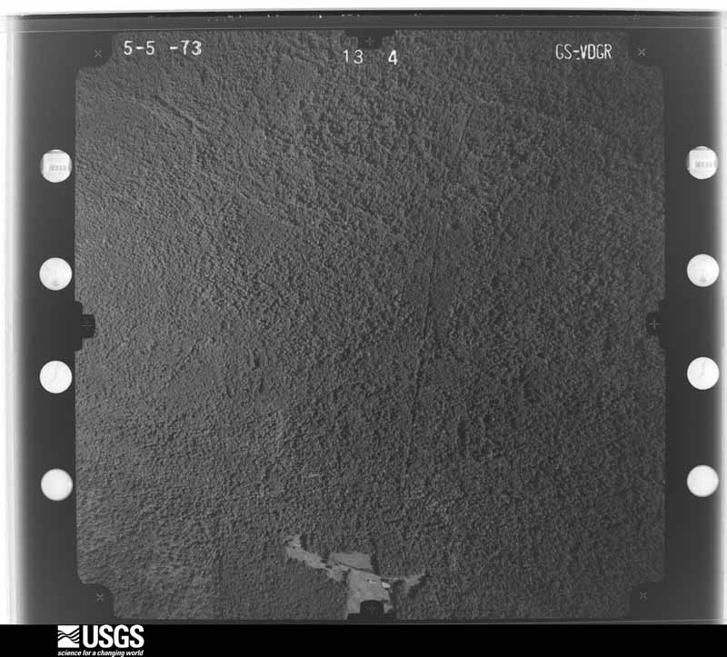

The thermometers that kept this county's weather, as the federal records hold them. The extremes below are measured values from those records, not estimates.
Who lived here in 1950, one enumeration district at a time, as the Census Bureau described each district. Each row opens its official National Archives result, with Population Schedules and ED Maps available there.
Every wildfire the federal occurrence database records inside this county: 1,926 of them, burning about 25,748 acres. 39 started naturally and 581 were recorded as arson. Each settlement page carries the fires within five miles of it.
| Reported cause | Fires |
|---|---|
| Missing data/not specified/undetermined | 630 |
| Arson/incendiarism | 581 |
| Debris and open burning | 549 |
| Equipment and vehicle use | 42 |
| Natural | 39 |
| Misuse of fire by a minor | 30 |
| Power generation/transmission/distribution | 16 |
| Recreation and ceremony | 13 |
| Smoking | 13 |
| Railroad operations and maintenance | 9 |
| Other causes | 2 |
| Fireworks | 2 |
The five largest, by the area the report gives. Two of them were set deliberately.
| Date | Cause | Size | Reported by | Name on the report |
|---|---|---|---|---|
| 31 March 1997 | Missing data/not specified/undetermined | 2,765 acres | Francis Marion & Sumter National Forests | MURRELL |
| 23 March 2011 | Arson/incendiarism | 2,466 acres | South Carolina Forestry Commission | WINDY |
| 23 March 2011 | Missing data/not specified/undetermined | 1,933 acres | Francis Marion & Sumter National Forests | RIFLE |
| 3 April 2004 | Debris and open burning | 720 acres | Cape Romain National Wildlife Refuge | BULL DOG |
| 26 July 2012 | Natural | 480 acres | Francis Marion & Sumter National Forests | DOAR |
| 20 February 2014 | Debris and open burning | 429 acres | Francis Marion & Sumter National Forests | TUPELO |
| 14 May 2018 | Debris and open burning | 373 acres | Francis Marion & Sumter National Forests | SANTEE FIRE |
| 12 March 2004 | Arson/incendiarism | 372 acres | Francis Marion & Sumter National Forests | KINSEY |
Every settlement page carries the fires within five miles of it - see the settlement index below.
The NOAA Storm Events Database holds 1,356 reports for this county, causing 3 deaths, 34 injuries and about $28,547,690 in recorded property damage. Each settlement page carries the reports that name it.
| Kind of event | Reports |
|---|---|
| Thunderstorm Wind | 619 |
| Flash Flood | 301 |
| Hail | 300 |
| Tornado | 61 |
| Lightning | 47 |
| Funnel Cloud | 10 |
| Heavy Rain | 7 |
| Flood | 6 |
| Waterspout | 5 |
The most serious of them, by death, then injury, then recorded damage. The accounts are quoted exactly as the forecast office filed them.
| When | Event | Place named | Harm | What the report says |
|---|---|---|---|---|
| December 2023 | Flash Flood | Snowden | 1 killed | The media reported a vehicle fully submerged in flood waters along Omni Boulevard, trapping and drowning a 72 year old female. |
| June 2005 | Lightning | Johns Is | 1 killed | Lightning killed a man while he was working in a field. |
| September 2001 | Lightning | Sullivans Is | 1 killed | A 38 year old man was struck and killed by lightning as he huddled near a beach umbrella that his family was under. |
| September 1960 | Tornado (F3) | not stated | 10 hurt, $2,500,000 | no account filed |
| July 2017 | Lightning | Isle Of Palms Arpt | 4 hurt | Charleston County dispatch reported that 4 people were injured by a nearby lightning strike on the boardwalk to the beach near Ocean Point Drive in the Wild Dunes area. The 4 injured people were transported to the hospital. |
| July 1986 | Tornado (F0) | not stated | 3 hurt, $25,000 | no account filed |
| July 2018 | Lightning | Isle Of Palms Arpt | 3 hurt | The Isle of Palms Fire Department reported that lightning struck and injured 3 people on Isle of Palms beach near 21st Avenue. A male lost consciousness for a brief period and a female had to be pulled out of the water in cardiac arrest. CPR was administered on the female on the beach, who was then transported to an area hospital in serious condition. The other 2 were transported in stable condition in a second ambulance. |
| August 2006 | Flash Flood | North Charleston | 3 hurt | Emergency Management reported a large concrete commercial building at Goer industries experienced a 40 X 40 foot section of collapsed roof. 3 people had minor injuries. |
| August 1989 | Thunderstorm Wind | not stated | 3 hurt | no account filed |
| August 1964 | Tornado (F2) | not stated | 2 hurt, $2,500 | no account filed |
| March 1976 | Tornado (F1) | not stated | 1 hurt, $25,000 | no account filed |
| July 2012 | Lightning | The Groves | 1 hurt | Law Enforcement reported a woman was struck by lightning in Mount Pleasant. The woman was transported to a hospital. Extent of injuries unknown. |
| July 2010 | Lightning | Drayton | 1 hurt | The public reported lightning entered their home through the chimney and struck a teenage boy, 1 mile north-northwest of Shadowmoss Plantation in the Charleston, South Carolina metropolitan area. Emergency Medical Technicians treated the boy at the home where he was struck by the lightning. Newspaper and print media reported, The teen likely experienced the effects of a flash. A flash happens when a person is near an electrical current, but not actually hit with it. The proximity to the current can result in anything from tingling to actually knocking a person off their feet. Several Charleston-based news agencies have talked to the teen who said the lightning traveled down the chimney and came in through the fireplace before striking him in the thigh. After the flash, the teen reported having a tingling sensation in his leg. EMS officials said there were no burns or damage around the home and the tingling sensation the teen reported is consistent with a flash. |
| June 2009 | Lightning | Ashley Hall | 1 hurt | Broadcast Media relayed a report of a person struck by lightning at the Ashley Oaks Apartments in West Ashley, South Carolina. The individual was taken to a local hospital, but the condition of the person was not known. |
| April 2006 | Tornado (F1) | Adams Run | 1 hurt | A tornado touched down along Willtown road near Minnie Hughs Elementary School and then tracked east crossing Highway 174 just north of the intersection with Moffett Road. The tornado then moved through a farm before moving across Toogoodoo road near the intersection of Oakville Road and then lifted in a marshy area near Toogoodoo creek. Numerous trees, large limbs, and power lines were damaged along the path and one house partially collapsed due to the tornado. |
| August 2001 | Lightning | Isle Of Palms | 1 hurt | A 32 year old man experienced a double jolt from lightening within a 10 minute span. The man was driving a Toyota pickup when a bolt of lightning struck his CB antenna. This caused the antenna to pop off, it broke out the rear window on the cab and blew out the left rear tire. When he stopped the truck to get out to assess the damage, a second bolt of lightning hit the bed of the pickup and the force threw him out into the roadway. |
| September 2015 | Tornado (EF2) | Morris Acres | $1,540,000 | A National Weather Service storm survey team confirmed a tornado on Johns Island. The tornado touched down near Cane Slash Road where one home had a portion of its roof ripped off. The tornado then tracked to the north-northwest and crossed Maybank Highway and Brownswood Road, causing minor damage to a few homes and extensive damage to trees. The tornado then tracked further north-northwest and caused the most significant damage along its path on Sonny Boy Lane, where damage to two homes was consistent with a high end EF-2 tornado. At one home, only a small portion of the roof was left intact as the rest of the roof and most of the exterior walls of the well built brick home were knocked down. A large portion of this roof and a ground level air condition unit were hurled about 150 yards. At another well built home across the street, the entire back portion of the two story house was ripped off. From there, the tornado continued its north-northwest track crossing River Road, the Stono River, Main Road, and eventually Highway 17 where it dissipated. Along this portion of the path the tornado produced widespread destruction to numerous acres of trees and damage to the roofs of two businesses near Highway 17. According to a damage assessment performed by the Charleston County Building Services Department, 51 total structures were damaged including 33 with moderate or worse damage and 18 with only minor damage. The total damage estimate resulting solely from structures was $1,539,000. Thousands and thousands of trees were uprooted or snapped off with many falling onto structures, vehicles, and roadways. The tree damage was so extensive and widespread that several roads along the path were impassable for a few days following the event. |
| May 2008 | Tornado (EF2) | Yonges Is | $1,200,000 | A confirmed EF-2 Tornado initially touched down along Bears Bluff Road on Wadmalaw Island, where minor damage was observed. The damage at the initial touchdown location was confined to several trees getting sheared off near the base or twisted to the ground. ||The Tornado then traveled east and crossed the Maybank Highway on Wadmalaw Island where major damage was observed. The majority of the damage occurred on the 4800 block of Maybank Highway, where nearly all the trees in the path of the Tornado were twisted to the ground or sheared off near the base. Numerous homes were damaged as the Tornado ripped through, with many sustaining roof and shingle damage. In fact, two homes had a section of there roofs detached and hurled approximately 50 to 100 feet away from the residences. A detached garage also sustained damage, when the suction from the Tornado caused the garage door to get buckled inward into the garage itself, and portions of the tin roof was ripped away and displaced 50 to 75 feet from the garage. A cinder block wall on another home sustained severe damage when a large section of cinder blocks was torn from the wall and hurled into the home. Additionally, a chain link fence around the residence was ripped off and displaced 20 to 30 feet from the supporting poles which held the fence in place. Another home sustained severe damage, as the front porch of the residence was detached and tossed 100 to 150 feet. The same home had the roof lifted 2 to 3 inches from the supporting walls, and a large window curtain was actually pulled upward and into the attic as the Tornado moved through. Quite a bit of damage was also observed in the Long Creek Plantation subdivision, where significant tree damage was observed along with several homes sustaining some minor roof damage.||The Tornado then moved onto Johns Island and crossed Bohicket Road. Moderate damage was observed as it moved through this area of Johns Island. The majority of the damage was confined to trees being sheared off near the base or twisted to the ground. Several homes did sustain some minor roof damage as shingles were lifted and displaced from the residences. ||Minor damage was observed on River Road when the Tornado weakened before lifting just south of the Charleston Executive Airport. The damage along River Road was confined primarily to several downed trees. A tin roof of a shed sustained minor damage as well, as it lifted slightly but remained intact.||The Maximum sustained winds were estimated to be 120 mph with this Tornado. The total path length was 12 miles, with a path width of 1 mile when it crossed Maybank Highway and six tenths of a mile when it crossed Bohicket Road. Although significant damage occurred, no injuries were reported. |
| August 2012 | Flash Flood | Charleston | $750,000 | The College of Charleston Emergency Manager reports that twenty three buildings on campus have sustained damage from flash flooding. Flood waters are still in place across much of the campus. |
| October 2015 | Flash Flood | Morris Acres | $728,550 | Law enforcement and broadcast media reported several roads closed due to flooding on Johns Island and James Island. Roads closed included Brownswood Road between Murraywood Road and Main Road, Bohicket Road at the intersection of Edenvale Road, Towne Street at the intersection of Maybank Highway, Central Park Road and Maybank Highway at the intersection of Hickory Knoll Way. Water was also reported waist deep on the sidewalks along Hickory Knoll Way. |
| October 2015 | Flash Flood | Dupont | $728,550 | A NWS employee, an emergency manager, law enforcement and broadcast media reported widespread flooding and roads closed due to flooding in West Ashley. Roads closed included Batten Drive, Highway 17 near the Ponderosa neighborhood, Carolina Bay Drive near the Element at Carolina Bay Apartments and the entrance to Grand Oaks subdivision where 2 cars were also found to be stalled. Ashley Grove Apartments were also reported flooded and many homes were surrounded by water along roads that were impassable. Swift water rescues and evacuations were also reported in the Shadowmoss area. |
| October 2015 | Flash Flood | Myers | $728,550 | Law enforcement and social media images indicated several road closures due to flooding in downtown Charleston. Road intersections closed included North Market Street at East Bay Street, South Market Street at Meeting Street, Huger Street at King Street, Line Street at Hagood Avenue, Nassau Street at Cooper Street, Hagood Avenue at Fishburne Street, President Street at Cannon Street and the Crosstown Expressway. Up to a foot of water was also reported in some homes in Middleton Place within Wagener Terrace. |
| October 2015 | Flash Flood | Charleston | $728,550 | Law enforcement and firefighters reported widespread flooding in downtown Charleston resulting in several water rescues and numerous road closures. Roads and intersections closed due to flooding included Beaufain Street between Lockwood Boulevard and Coming Street, Washington Street between Calhoun Street and Hassell Street, Morris Street between Coming Street and Smith Street, Huger Street between Senate Street and Benson Street, Rutledge Avenue and Ashely Avenue between Calhoun Street and Bennett Street, Vanderhorst Street between Rutledge Avenue and Coming Street, Rutledge Avenue between Fishburne Street and Sheppard Street, President Street between Highway 17 and Fishburne Street, Pinckney Street between Meeting Street and Church Street, Highway 17 between Cannon Street and Coming Street, the Crosstown Expressway, Calhoun Street at the intersection of Smith Street and Lockwood Boulevard at the intersection of Broad Street. |
| October 2015 | Flash Flood | Philip | $728,550 | Law enforcement reported several roads and intersections closed due to flooding in Mount Pleasant. Roads closed included Highway 41 at the intersection of Dunes West Boulevard, Dunes West Boulevard at the intersection of Kings Gate Lane, National Drive from the Porchers Bluff Road traffic circle, Rivertowne Parkway at the Rivertowne County Club, Carolina Park Boulevard at the intersection of Darrell Creek Trail, Guerins Bridge Road and Highway 41 between Bessemer Road and Holbeck Creek. A NWS employee also reported roads flooded and impassable due to high water in the Rivertowne subdivision. |
| October 2015 | Flash Flood | Pinecrest | $728,550 | Firefighters reported water entering homes near the intersection of Wapoo Road and Elsey Drive. The intersection of West Oak Forest Drive and Oak Forest Drive was also closed due to flooding. |
| October 2015 | Flash Flood | Myers | $728,550 | Law enforcement and media reported several roads closed due to flooding in North Charleston and Hanahan. Roads and intersections closed included Rivers Avenue between Reynolds Avenue and Success Street, Rivers Avenue at the intersection of Eagle Drive and the intersection of Otranto Road, Spruill Avenue at the intersection with Buist Avenue, Remount Road at the intersection with Blackwell Street and Dorchester Road at the intersection with Transfer Street. Water in excess of 3 feet depth was also entering at least one home in the 2000 block of Little Avenue with residents being escorted from their property by law enforcement. Macon Avenue at the intersection with Meeting Street was also closed due to a portion of the road collapsing. |
| October 2015 | Flash Flood | Johns Is | $728,550 | Law enforcement reports that Main Road is closed due to flooding between Highway 17 and River Road. |
| October 2015 | Flash Flood | The Groves | $728,550 | Broadcast Media reported the intersection of Ben Sawyer Boulevard and Center Street closed due to flooding. Law enforcement also reported Mill Street closed due to flooding at the Shem Creek Boat Landing. |
| October 2015 | Flash Flood | Riverland Terrace | $728,550 | Law enforcement and social media sources indicated roads closed due to flooding on Folly Island and southern James Island. Roads closed included East Arctic Avenue beyond 10th Street, Folly Road at the intersection of Battery Island Drive and Battle Ground Road. |
| October 2015 | Flash Flood | Meggett | $728,550 | Law enforcement reported several roads closed due to flooding in the Meggett area. Roads closed included Toogoodoo Road at the intersection of Coon Club Road and the intersection of Oakville Road as well as New Road at the intersection with Highway 162. |
| October 2015 | Flash Flood | Lincolnville | $728,550 | Law enforcement reported Von Ohsen Road closed at the intersection Dunmeyer Hill Road due to flooding. The intersection of Highway 78 and Owens Drive was also closed due to flooding. |
| October 2015 | Flash Flood | Yonges Is | $728,550 | Law enforcement reported an estimated 3 feet of standing water at the intersection of Bears Bluff Road and Liberia Road. |
| October 2015 | Flash Flood | Wadmalaw Is | $728,550 | The Charleston County 911 Call Center reported a water rescue near Spinnaker Beachhouses and Pelican Watch Villas. |
| October 2015 | Flash Flood | Edisto Is | $728,550 | Law enforcement reported Point Of Pines Road impassable due to flooding. |
| October 2015 | Flash Flood | Rockville | $728,550 | Law enforcement reported the Kiawah Island Main Gate closed to entry traffic due to flooding. |
| October 2015 | Flash Flood | Charleston | $728,550 | A Charleston County emergency manager and law enforcement reported numerous roads closed due to flooding in downtown Charleston. Roads closed included Hasell Street between Meeting Street and Washington Street. Interstate 26 exits to Meeting Street and East Bay Street were also closed due to flooding. Water was also reported entering homes and businesses at the intersection of Tradd Street and Council Street. Swift water rescues were also being reported by broadcast media in downtown Charleston. |
| October 2015 | Flash Flood | Dupont | $728,550 | A social media user posted photos of at least 2 trees down at an apartment complex along Mary Ader Avenue. |
| October 2015 | Flash Flood | Isle Of Palms Arpt | $728,550 | Law enforcement reported Waterway Boulevard closed between 21st Avenue and 24th Avenue due to flooding. |
| October 2015 | Flash Flood | Hilldale | $728,550 | Law enforcement reported several road closures near Ladson and Hanahan. The intersection of Highway 78, Interstate 26 and Ingleside Boulevard was closed with standing water estimated around 6 feet deep. Yeamans Hall Boulevard near Murray Avenue was also blocked off due to standing water around 2 feet deep. The 3400 block of Mountainbrook Avenue crossing Pepperdam Creek was blocked off due to standing water that was 2 feet deep and approximately 50 yards wide. Swift water rescues also started at the 7700 block of Palmetto Commerce Parkway around 1154 pm on the 3rd, then occurred throughout the Ladson area into the early overnight hours on the 4th. |
| October 2015 | Flash Flood | Philip | $728,550 | Law enforcement reported Highway 41 closed at Horlbeck Creek due to flooding. |
| October 2015 | Flash Flood | James Is | $728,550 | Law enforcement reported Fort Johnson Road flooded and closed between Camp Road and Lighthouse Road. |
| October 2015 | Flash Flood | Riverland Terrace | $728,550 | The public reported 1.5 feet of water flowing across the 1600 block of Rainbow Road. |
| October 2015 | Flash Flood | Awendaw | $728,550 | An emergency manager reported swift water rescues underway in the Awendaw area. |
| October 2015 | Flash Flood | Charleston Hgts | $728,550 | An emergency manager reported swift water rescues underway in the North Charleston area. |
| April 2000 | Lightning | Mt Pleasant | $500,000 | Lightning destroyed one house and did considerable damage to two nearby homes. |
| September 1998 | Flash Flood | North Charleston | $413,500 | no account filed |
| July 2017 | Lightning | Morris Acres | $400,000 | St. Johns Fire and Rescue reported a house fire started by lightning in the 800 block of Brownswood Road. The home sustained major damage to the entire structure with nearly the entire 2nd floor destroyed. |
| April 1961 | Tornado (F1) | not stated | $250,000 | no account filed |
| August 2000 | Thunderstorm Wind | Charleston | $200,000 | A container crane at a loading dock was blown into two other cranes causing several large shipping containers to be thrown into the water. |
| July 2000 | Tornado (F0) | Isle Of Palms | $200,000 | Waterspout came ashore briefly and damaged two homes under construction. A flower pot was thrown through a car window a block away. |
| June 1997 | Flash Flood | Charleston | $125,000 | no account filed |
| September 2022 | Flash Flood | Centerville | $100,000 | Local broadcast media reported that flood waters entered several homes on Shoreham Road. Also, a video shared via Twitter showed flood waters entering a detached garage structure at a home located at 1149 Landsdowne Drive. Flooding at both locations was due to heavy rainfall associated with Hurricane Ian. |
| July 2016 | Thunderstorm Wind | Dupont | $100,000 | Numerous reports of trees blown down in the Carolina Bay subdivision received via social media. Trees were down in several places in the neighborhood, though most of the damage was concentrated around Carolina Bay Park. One large tree was down on a house causing major damage. |
| August 2015 | Flash Flood | Dupont | $100,000 | Broadcast media, social media as well as the Charleston County 911 Call Center and public reported numerous locations of flooding due to heavy rainfall. Highway 61 was flooded and closed at the intersection of Muirfield Parkway and Greenridge Road. Part of an embankment collapsed near the intersection of Interstate 526 and Dorchester Road. Water was reported entering homes along Shadowmoss Parkway and the Charleston County Swiftwater Rescue Team was deployed to Shadowmoss to evacuate a residence. Severe flooding was reported within the Charlestowne Village Mobile Home Park. Approximately 1 to 2 feet of water was in the first floor of Dorchester Gardens Apartments and 2 to 3 feet of water was in the first floor of The Reserve At Ashley River Apartments off Dorchester Road. Approximately 2 feet of water was also reported in a furnishings business off Dorchester Road with significant monetary damage. |
| September 2013 | Lightning | Drayton | $100,000 | The Charleston County 911 call center reported lightning causing a house fire on Cabrill Drive. |
| August 1998 | Thunderstorm Wind | North Charleston | $80,000 | Winds blew a 60-foot yacht off its stand and into a shed causing considerable damaga to the yacht. |
| August 2021 | Lightning | Charleston Hgts | $75,000 | The media reported a large oak tree struck by lightning and down on a home along Grayson Street, which caused significant roof and structural damage to approximately one third of the home. |
| March 1997 | Tornado (F1) | Awendaw | $75,000 | no account filed |
| May 2024 | Thunderstorm Wind | St Andrews | $50,000 | Local broadcast media relayed a public report of a tree down on a home on Minnie Street in West Ashley, causing considerable damage to the home. |
| September 2017 | Flash Flood | Drayton | $50,000 | The Crosstowne Christian Church on Bees Ferry Road flooded with at least one foot of water reported inside. Flooding occurred when Church Creek overflowed its banks in the afternoon. A nearby river and rain gauge on Church Creek measured a nearly 5 foot rise in the creek level in response to 8.97 inches of storm total rainfall due to Tropical Storm Irma. Winners Circle was also flooded and impassable along Church Creek on the other side of Bees Ferry Road. |
The Survey's mineral resources record lists 42 workings inside this county. 11 still produce and 31 are closed or unrecorded. Each settlement page carries the workings within five miles of it.
| Commodity | Workings |
|---|---|
| Sand and Gravel, Construction | 28 |
| Clay | 4 |
| Sand and Gravel, Construction, Clay | 3 |
| Iron, Zirconium, Thorium, Titanium | 2 |
| Zirconium, Titanium, Iron, Thorium | 1 |
| Titanium, Iron, Zirconium | 1 |
| Iron, Thorium, Zirconium, Titanium | 1 |
| Titanium, Zirconium, Iron | 1 |
| Iron, Titanium, Zirconium | 1 |
| Iron, Titanium, Thorium | 1 |
| REE | 1 |
| Thorium | 1 |
| Iron | 1 |
| Chromium | 1 |
The least common of them first, because a county's hundredth gravel pit says nothing its first ten did not.
| Where | Site | Commodity | Status | Recorded |
|---|---|---|---|---|
| (Facility) Charleston Smelter | Chromium | Plant | ||
| Airco Alloys | Iron | Unknown | ||
| Charleston County Mine | REE, Thorium | Producer | ||
| Edisto Island Quadrangle | Titanium, Zirconium, Iron | Unknown | Placer , Modern , Beach | |
| Fort Moultrie Quadrangle | Zirconium, Titanium, Iron, Thorium | Unknown | Placer , Modern , Beach | |
| Isle of Palms (Area 1) | Iron, Titanium, Zirconium | Unknown | Placer , Modern , Beach | |
| Isle of Palms (Area 2) | Iron, Titanium, Thorium | Unknown | Placer , Modern , Beach | |
| Sewee Bay Quadrangle | Titanium, Iron, Zirconium | Unknown | Placer , Modern , Beach | |
| Wadmalaw | Iron, Thorium, Zirconium, Titanium | Unknown | Placer , Modern , Beach | |
| Folly Beach | Iron, Zirconium, Thorium, Titanium | Unknown | Placer , Modern , Beach | |
| Ravenels Quadrangle | Iron, Zirconium, Thorium, Titanium | Unknown | Placer , Modern , Beach | |
| Brinson Pit | Sand and Gravel, Construction, Clay | Unknown | Sedimentary | |
| Island Pit | Sand and Gravel, Construction, Clay | Unknown | Sedimentary | |
| Land Associates Pit | Sand and Gravel, Construction, Clay | Unknown | Sedimentary | |
| Brinson Pit | Sand and Gravel, Construction, Clay | Producer | ||
| Edmondson Pit | Sand and Gravel, Construction, Clay | Producer | ||
| Island Pit | Sand and Gravel, Construction, Clay | Producer | ||
| Land Associates Pit | Sand and Gravel, Construction, Clay | Producer | ||
| 17 South Pit(Jacksonboro Rd Mine) | Sand and Gravel, Construction | Past Producer | Sedimentary | |
| Banks Sand Pit | Sand and Gravel, Construction | Unknown | Sedimentary | |
| Banks Sand Pit | Sand and Gravel, Construction | Past Producer | ||
| Brownswood Mine | Sand and Gravel, Construction | Past Producer | Sedimentary | |
| Chaplan Landing Mine | Sand and Gravel, Construction | Past Producer | Sedimentary | |
| Chaplin Landing Fill Pit | Sand and Gravel, Construction | Unknown | Sedimentary | |
| Cleckley Pit | Sand and Gravel, Construction | Unknown | Sedimentary | |
| Cross Creek Mine | Sand and Gravel, Construction | Producer | ||
| East Copper #1 | Sand and Gravel, Construction | Past Producer | Sedimentary | |
| Edmondson Hauling Pit 1 | Sand and Gravel, Construction | Past Producer | Sedimentary | |
| Edmondson Hauling Pit 2 | Sand and Gravel, Construction | Unknown | Sedimentary | |
| Land Associates Mine # 1 | Sand and Gravel, Construction | Past Producer | Sedimentary | |
| Mt Pleasant Pit | Sand and Gravel, Construction | Past Producer | Sedimentary | |
| Murraywood Pit | Sand and Gravel, Construction | Past Producer | Sedimentary | |
| North Charleston Plant | Sand and Gravel, Construction | Plant | ||
| R & L Pit | Sand and Gravel, Construction | Past Producer | Sedimentary | |
| Shell Point (Mt. Pleasant Pit) | Sand and Gravel, Construction | Producer | Sedimentary | |
| Truluck Pit North | Sand and Gravel, Construction | Unknown | Sedimentary | |
| Truluck Pit North | Sand and Gravel, Construction | Producer | ||
| Truluck Pit South | Sand and Gravel, Construction | Unknown | Sedimentary | |
| Truluck Pit South | Sand and Gravel, Construction | Past Producer | ||
| Ware Brothers Pit | Sand and Gravel, Construction | Unknown | Sedimentary | |
| Ware Brothers Pit | Sand and Gravel, Construction | Producer | ||
| Yaupon Pit | Sand and Gravel, Construction | Past Producer | Sedimentary |
Named settlements recorded in the Geographic Names Information System, each with the topographic sheets covering it. Villages, hamlets and abandoned places alike. Each is shown with the nearest named watercourse or landform and the survey quadrangle it falls on. The 3 places that were also surveyed for fire insurance come first, with the number of atlases and photographs held for them.
Charleston Central census division · 29401 · On Ashley River · Charleston quadrangle
18 sheets, 1919 to 1994
Fire insurance: 11 atlases
Mount Pleasant census division · 29464 · On Shem Creek · Fort Moultrie quadrangle
17 sheets, 1919 to 1990
Fire insurance: 4 atlases
Charleston Central census division · 29401 · Near Shutes Folly Island · Charleston quadrangle
18 sheets, 1919 to 1994
North Charleston census division · 29418 · On Keivling Creek · Johns Island quadrangle
25 sheets, 1919 to 1990
West Ashley census division · 29407 · On Sandy Bay · Charleston quadrangle
18 sheets, 1919 to 1994
West Ashley census division · 29407 · On Bulls Creek · Johns Island quadrangle
25 sheets, 1919 to 1990
West Ashley census division · 29407 · On Bulls Creek · Johns Island quadrangle
25 sheets, 1919 to 1990
North Charleston census division · 29405 · On Noisette Creek · Charleston quadrangle
18 sheets, 1919 to 1994
North Charleston census division · 29405 · Near Accabee Flats · Charleston quadrangle
18 sheets, 1919 to 1994
North Charleston census division · 29418 · On Keivling Creek · Johns Island quadrangle
25 sheets, 1919 to 1990
West Ashley census division · 29407 · On Oldtown Creek · Charleston quadrangle
18 sheets, 1919 to 1994
Mount Pleasant census division · 29464 · Fort Moultrie quadrangle
17 sheets, 1919 to 1990
West Ashley census division · 29407 · On Oldtown Creek · Charleston quadrangle
18 sheets, 1919 to 1994
McClellanville census division · 29429 · On Steed Creek · Awendaw quadrangle
11 sheets, 1943 to 1986
Ravenel-Hollywood census division · 29449 · Adams Run quadrangle
18 sheets, 1919 to 1990
Ravenel-Hollywood census division · 29449 · Adams Run quadrangle
18 sheets, 1919 to 1990
James Island census division · 29412 · On Simpson Creek · James Island quadrangle
15 sheets, 1919 to 1990
James Island census division · 29412 · On Simpson Creek · James Island quadrangle
15 sheets, 1919 to 1990
Mount Pleasant census division · 29464 · On Shem Creek · Charleston quadrangle
18 sheets, 1919 to 1994
Wadmalaw Island census division · 29487 · On Toogoodoo Creek · Adams Run quadrangle
18 sheets, 1919 to 1990
North Charleston census division · 29418 · On Church Creek · Johns Island quadrangle
25 sheets, 1919 to 1990
Ravenel-Hollywood census division · 29470 · On Mellichamp Branch · Ravenel quadrangle
19 sheets, 1920 to 1990
North Charleston census division · 29418 · On Church Creek · Johns Island quadrangle
25 sheets, 1919 to 1990
North Charleston census division · 29405 · Near Accabee Flats · Johns Island quadrangle
25 sheets, 1919 to 1990
Mount Pleasant census division · 29464 · On Shem Creek · Fort Moultrie quadrangle
17 sheets, 1919 to 1990
McClellanville census division · 29458 · On Sandy Point Creek · Awendaw quadrangle
11 sheets, 1943 to 1986
James Island census division · 29412 · On Seaside Creek · James Island quadrangle
15 sheets, 1919 to 1990
West Ashley census division · 29407 · On Sandy Bay · Charleston quadrangle
18 sheets, 1919 to 1994
James Island census division · 29412 · Near James Island · James Island quadrangle
15 sheets, 1919 to 1990
Kiawah Island-Seabrook Island census division · 29455 · On North Edisto River · Rockville quadrangle
19 sheets, 1919 to 1990
Ravenel-Hollywood census division · 29426 · On Bull Bridge Creek · Jacksonboro quadrangle
16 sheets, 1918 to 1990
West Ashley census division · 29407 · On Sandy Bay · Johns Island quadrangle
25 sheets, 1919 to 1990
Ravenel-Hollywood census division · 29470 · Osborn quadrangle
16 sheets, 1918 to 1990
Mount Pleasant census division · 29464 · Fort Moultrie quadrangle
17 sheets, 1919 to 1990
Johns Island census division · 29455 · Near Hoopstick Island · Legareville quadrangle
22 sheets, 1919 to 1990
James Island census division · 29412 · Near James Island · James Island quadrangle
15 sheets, 1919 to 1990
Mount Pleasant census division · 29429 · On Alston Creek · Sewee Bay quadrangle
13 sheets, 1919 to 1990
North Charleston census division · 29485 · Stallsville quadrangle
18 sheets, 1920 to 1990
West Ashley census division · 29407 · On Oldtown Creek · Charleston quadrangle
18 sheets, 1919 to 1994
North Charleston census division · 29406 · North Charleston quadrangle
16 sheets, 1919 to 1998
North Charleston census division · 29405 · On Noisette Creek · Charleston quadrangle
18 sheets, 1919 to 1994
West Ashley census division · 29407 · On Oldtown Creek · Charleston quadrangle
18 sheets, 1919 to 1994
North Charleston census division · 29405 · On Noisette Creek · Charleston quadrangle
18 sheets, 1919 to 1994
James Island census division · 29412 · On Pennys Creek · Charleston quadrangle
18 sheets, 1919 to 1994
North Charleston census division · 29405 · On Noisette Creek · Charleston quadrangle
18 sheets, 1919 to 1994
West Ashley census division · 29414 · On Church Creek · Johns Island quadrangle
25 sheets, 1919 to 1990
James Island census division · 29412 · On Wolfpit Run · James Island quadrangle
15 sheets, 1919 to 1990
James Island census division · 29412 · On Seaside Creek · James Island quadrangle
15 sheets, 1919 to 1990
Ravenel-Hollywood census division · 29449 · On Church Creek · Wadmalaw Island quadrangle
17 sheets, 1919 to 1990
No longer a settlement
North Charleston census division · 29418 · On Keivling Creek · Johns Island quadrangle
25 sheets, 1919 to 1990
McClellanville census division · 29458 · South Santee quadrangle
9 sheets, 1943 to 1986
North Charleston census division · 29420 · Near Windsor Hills · Ladson quadrangle
23 sheets, 1919 to 1990
Mount Pleasant census division · 29464 · On Shem Creek · Charleston quadrangle
18 sheets, 1919 to 1994
James Island census division · 29412 · Near Plum Island · Charleston quadrangle
18 sheets, 1919 to 1994
North Charleston census division · 29418 · On Macbeth Creek · Johns Island quadrangle
25 sheets, 1919 to 1990
James Island census division · 29412 · On Wolfpit Run · James Island quadrangle
15 sheets, 1919 to 1990
Mount Pleasant census division · 29464 · On Shem Creek · Fort Moultrie quadrangle
17 sheets, 1919 to 1990
North Charleston census division · 29405 · Near East Marsh Island · Charleston quadrangle
18 sheets, 1919 to 1994
North Charleston census division · 29406 · Ladson quadrangle
23 sheets, 1919 to 1990
James Island census division · 29412 · On Downs Creek · James Island quadrangle
15 sheets, 1919 to 1990
North Charleston census division · 29406 · On Filbin Creek · North Charleston quadrangle
16 sheets, 1919 to 1998
West Ashley census division · 29414 · On Church Creek · Johns Island quadrangle
25 sheets, 1919 to 1990
James Island census division · 29412 · Near Plum Island · Charleston quadrangle
18 sheets, 1919 to 1994
North Charleston census division · 29405 · Near East Marsh Island · Charleston quadrangle
18 sheets, 1919 to 1994
West Ashley census division · 29414 · On Keivling Creek · Johns Island quadrangle
25 sheets, 1919 to 1990
West Ashley census division · 29407 · On Sandy Bay · Johns Island quadrangle
25 sheets, 1919 to 1990
West Ashley census division · 29407 · On Sandy Bay · Johns Island quadrangle
25 sheets, 1919 to 1990
Edisto Island census division · 29438 · On Edisto Island · Edisto Island quadrangle
18 sheets, 1919 to 1990
West Ashley census division · 29414 · On Long Branch · Johns Island quadrangle
25 sheets, 1919 to 1990
North Charleston census division · 29418 · On Keivling Creek · Johns Island quadrangle
25 sheets, 1919 to 1990
North Charleston census division · 29405 · On Church Creek · Johns Island quadrangle
25 sheets, 1919 to 1990
James Island census division · 29412 · Near James Island · James Island quadrangle
15 sheets, 1919 to 1990
Johns Island census division · 29455 · Near Hoopstick Island · Legareville quadrangle
22 sheets, 1919 to 1990
North Charleston census division · 29418 · On Keivling Creek · Johns Island quadrangle
25 sheets, 1919 to 1990
James Island census division · 29439 · Near Folly Island · James Island quadrangle
15 sheets, 1919 to 1990
West Ashley census division · 29407 · On Sandy Bay · Johns Island quadrangle
25 sheets, 1919 to 1990
North Charleston census division · 29418 · On Popperdam Creek · Ladson quadrangle
23 sheets, 1919 to 1990
Mount Pleasant census division · 29451 · Near Island of Palms · Fort Moultrie quadrangle
17 sheets, 1919 to 1990
West Ashley census division · 29414 · On Church Creek · Johns Island quadrangle
25 sheets, 1919 to 1990
James Island census division · 29412 · On Parrot Point Creek · James Island quadrangle
15 sheets, 1919 to 1990
Mount Pleasant census division · 29482 · Near Sullivans Island · Fort Moultrie quadrangle
17 sheets, 1919 to 1990
Edisto Island census division · 29438 · Near Edisto Island · Edisto Island quadrangle
18 sheets, 1919 to 1990
Charleston Central census division · 29403 · On Halsey Creek · Charleston quadrangle
18 sheets, 1919 to 1994
Ravenel-Hollywood census division · 29449 · On Swinton Creek · Adams Run quadrangle
18 sheets, 1919 to 1990
No longer a settlement
Charleston Central census division · 29403 · On Halsey Creek · Charleston quadrangle
18 sheets, 1919 to 1994
North Charleston census division · 29405 · On Noisette Creek · Charleston quadrangle
18 sheets, 1919 to 1994
McClellanville census division · 29458 · On Cedar Creek · South Santee quadrangle
9 sheets, 1943 to 1986
Ravenel-Hollywood census division · 29449 · Near Yonges Island · Adams Run quadrangle
18 sheets, 1919 to 1990
North Charleston census division · 29418 · On Keivling Creek · Johns Island quadrangle
25 sheets, 1919 to 1990
Ravenel-Hollywood census division · 29449 · Near Church Flats · Wadmalaw Island quadrangle
17 sheets, 1919 to 1990
James Island census division · 29412 · On Pennys Creek · Charleston quadrangle
18 sheets, 1919 to 1994
North Charleston census division · 29405 · On Church Creek · Johns Island quadrangle
25 sheets, 1919 to 1990
James Island census division · 29412 · On Wolfpit Run · James Island quadrangle
15 sheets, 1919 to 1990
James Island census division · 29412 · Near James Island · James Island quadrangle
15 sheets, 1919 to 1990
West Ashley census division · 29414 · On Church Creek · Johns Island quadrangle
25 sheets, 1919 to 1990
James Island census division · 29412 · James Island quadrangle
15 sheets, 1919 to 1990
West Ashley census division · 29407 · Near Duck Island · Charleston quadrangle
18 sheets, 1919 to 1994
James Island census division · 29412 · Near Plum Island · Charleston quadrangle
18 sheets, 1919 to 1994
James Island census division · 29412 · On Wolfpit Run · James Island quadrangle
15 sheets, 1919 to 1990
Mount Pleasant census division · 29464 · Near Goldbug Island · Fort Moultrie quadrangle
17 sheets, 1919 to 1990
West Ashley census division · 29407 · On Sandy Bay · Johns Island quadrangle
25 sheets, 1919 to 1990
West Ashley census division · 29407 · On Oldtown Creek · Johns Island quadrangle
25 sheets, 1919 to 1990
Charleston Central census division · 29405 · On Shipyard Creek · Charleston quadrangle
18 sheets, 1919 to 1994
West Ashley census division · 29414 · Johns Island quadrangle
25 sheets, 1919 to 1990
Mount Pleasant census division · 29464 · Fort Moultrie quadrangle
17 sheets, 1919 to 1990
North Charleston census division · 29406 · Ladson quadrangle
23 sheets, 1919 to 1990
West Ashley census division · 29407 · On Oldtown Creek · Charleston quadrangle
18 sheets, 1919 to 1994
Mount Pleasant census division · 29464 · On Hobcaw Creek · Charleston quadrangle
18 sheets, 1919 to 1994
James Island census division · 29412 · On Downs Creek · James Island quadrangle
15 sheets, 1919 to 1990
Ravenel-Hollywood census division · 29449 · Wadmalaw Island quadrangle
17 sheets, 1919 to 1990
James Island census division · 29412 · Near James Island · James Island quadrangle
15 sheets, 1919 to 1990
Johns Island census division · 29455 · On Log Bridge Creek · Legareville quadrangle
22 sheets, 1919 to 1990
North Charleston census division · 29404 · On Popperdam Creek · Ladson quadrangle
23 sheets, 1919 to 1990
West Ashley census division · 29407 · Near West Marsh Island · Johns Island quadrangle
25 sheets, 1919 to 1990
Johns Island census division · 29455 · Legareville quadrangle
22 sheets, 1919 to 1990
Mount Pleasant census division · 29464 · On Hobcaw Creek · Charleston quadrangle
18 sheets, 1919 to 1994
West Ashley census division · 29407 · On Sandy Bay · Johns Island quadrangle
25 sheets, 1919 to 1990
Mount Pleasant census division · 29451 · Near Little Goat Island · Fort Moultrie quadrangle
17 sheets, 1919 to 1990
Mount Pleasant census division · 29451 · Near Little Goat Island · Fort Moultrie quadrangle
17 sheets, 1919 to 1990
James Island census division · 29412 · Near James Island · James Island quadrangle
15 sheets, 1919 to 1990
Ravenel-Hollywood census division · 29426 · Near Coon Island · Osborn quadrangle
16 sheets, 1918 to 1990
North Charleston census division · 29405 · On Noisette Creek · North Charleston quadrangle
16 sheets, 1919 to 1998
West Ashley census division · 29455 · On Rantowles Creek · Johns Island quadrangle
25 sheets, 1919 to 1990
North Charleston census division · 29405 · On Brickyard Creek · Johns Island quadrangle
25 sheets, 1919 to 1990
Kiawah Island-Seabrook Island census division · 29455 · On Kiawah Island · Kiawah Island quadrangle
22 sheets, 1918 to 1990
James Island census division · 29412 · On Seaside Creek · James Island quadrangle
15 sheets, 1919 to 1990
James Island census division · 29412 · By Dills Bluff · James Island quadrangle
15 sheets, 1919 to 1990
North Charleston census division · 29418 · On Popperdam Creek · Ladson quadrangle
23 sheets, 1919 to 1990
James Island census division · 29412 · Near James Island · James Island quadrangle
15 sheets, 1919 to 1990
Ravenel-Hollywood census division · 29449 · Adams Run quadrangle
18 sheets, 1919 to 1990
McClellanville census division · 29458 · On Sandy Point Creek · Awendaw quadrangle
11 sheets, 1943 to 1986
James Island census division · 29412 · On Simpson Creek · Charleston quadrangle
18 sheets, 1919 to 1994
James Island census division · 29412 · By Dills Bluff · James Island quadrangle
15 sheets, 1919 to 1990
James Island census division · 29412 · Near James Island · James Island quadrangle
15 sheets, 1919 to 1990
Johns Island census division · 29455 · On Chaplin Creek · Legareville quadrangle
22 sheets, 1919 to 1990
James Island census division · 29412 · On Downs Creek · James Island quadrangle
15 sheets, 1919 to 1990
Johns Island census division · 29455 · On Long Branch · Johns Island quadrangle
25 sheets, 1919 to 1990
North Charleston census division · 29485 · Summerville quadrangle
19 sheets, 1919 to 1990
Edisto Island census division · 29438 · On Little Edisto Island · Edisto Island quadrangle
18 sheets, 1919 to 1990
James Island census division · 29412 · On Downs Creek · James Island quadrangle
15 sheets, 1919 to 1990
West Ashley census division · 29414 · On Long Branch · Johns Island quadrangle
25 sheets, 1919 to 1990
James Island census division · 29412 · Near James Island · James Island quadrangle
15 sheets, 1919 to 1990
West Ashley census division · 29414 · On Church Creek · Johns Island quadrangle
25 sheets, 1919 to 1990
West Ashley census division · 29407 · On Bulls Creek · Johns Island quadrangle
25 sheets, 1919 to 1990
James Island census division · 29412 · On Kushiwah Creek · James Island quadrangle
15 sheets, 1919 to 1990
Ravenel-Hollywood census division · 29426 · Jacksonboro quadrangle
16 sheets, 1918 to 1990
Mount Pleasant census division · 29466 · On Horlbeck Creek · Cainhoy quadrangle
18 sheets, 1919 to 1990
West Ashley census division · 29407 · On Oldtown Creek · Charleston quadrangle
18 sheets, 1919 to 1994
James Island census division · 29412 · Near James Island · James Island quadrangle
15 sheets, 1919 to 1990
McClellanville census division · 29458 · On Jeremy Creek · McClellanville quadrangle
11 sheets, 1942 to 1986
Ravenel-Hollywood census division · 29449 · Wadmalaw Island quadrangle
17 sheets, 1919 to 1990
West Ashley census division · 29414 · On Long Branch · Johns Island quadrangle
25 sheets, 1919 to 1990
Mount Pleasant census division · 29464 · On Shem Creek · Charleston quadrangle
18 sheets, 1919 to 1994
McClellanville census division · 29458 · On Jeremy Creek · McClellanville quadrangle
11 sheets, 1942 to 1986
McClellanville census division · 29429 · Sewee Bay quadrangle
13 sheets, 1919 to 1990
West Ashley census division · 29407 · On Oldtown Creek · Charleston quadrangle
18 sheets, 1919 to 1994
Mount Pleasant census division · 29464 · On Shem Creek · Fort Moultrie quadrangle
17 sheets, 1919 to 1990
West Ashley census division · 29407 · Near East Marsh Island · Charleston quadrangle
18 sheets, 1919 to 1994
West Ashley census division · 29407 · On Oldtown Creek · Johns Island quadrangle
25 sheets, 1919 to 1990
Charleston Central census division · 29405 · On Newmarket Creek · Charleston quadrangle
18 sheets, 1919 to 1994
Mount Pleasant census division · 29464 · Near Goldbug Island · Fort Moultrie quadrangle
17 sheets, 1919 to 1990
West Ashley census division · 29414 · On Long Branch · Johns Island quadrangle
25 sheets, 1919 to 1990
Wadmalaw Island census division · 29487 · On Church Creek · Wadmalaw Island quadrangle
17 sheets, 1919 to 1990
North Charleston census division · 29405 · Near East Marsh Island · Charleston quadrangle
18 sheets, 1919 to 1994
West Ashley census division · 29407 · On Bulls Creek · Johns Island quadrangle
25 sheets, 1919 to 1990
West Ashley census division · 29407 · Near Duck Island · Charleston quadrangle
18 sheets, 1919 to 1994
North Charleston census division · 29406 · Ladson quadrangle
23 sheets, 1919 to 1990
West Ashley census division · 29407 · On Sandy Bay · Charleston quadrangle
18 sheets, 1919 to 1994
North Charleston census division · 29418 · On Church Creek · Johns Island quadrangle
25 sheets, 1919 to 1990
James Island census division · 29412 · Near James Island · James Island quadrangle
15 sheets, 1919 to 1990
Wadmalaw Island census division · 29487 · Wadmalaw Island quadrangle
17 sheets, 1919 to 1990
West Ashley census division · 29414 · On Long Branch · Johns Island quadrangle
25 sheets, 1919 to 1990
James Island census division · 29412 · On Downs Creek · James Island quadrangle
15 sheets, 1919 to 1990
James Island census division · 29412 · On Downs Creek · James Island quadrangle
15 sheets, 1919 to 1990
West Ashley census division · 29407 · On Oldtown Creek · Charleston quadrangle
18 sheets, 1919 to 1994
West Ashley census division · 29407 · Near West Marsh Island · Johns Island quadrangle
25 sheets, 1919 to 1990
West Ashley census division · 29407 · Johns Island quadrangle
25 sheets, 1919 to 1990
Mount Pleasant census division · 29464 · Near Goldbug Island · Fort Moultrie quadrangle
17 sheets, 1919 to 1990
Mount Pleasant census division · 29464 · On Shem Creek · Fort Moultrie quadrangle
17 sheets, 1919 to 1990
James Island census division · 29412 · On Downs Creek · James Island quadrangle
15 sheets, 1919 to 1990
James Island census division · 29412 · On Downs Creek · James Island quadrangle
15 sheets, 1919 to 1990
Mount Pleasant census division · 29466 · Fort Moultrie quadrangle
17 sheets, 1919 to 1990
Mount Pleasant census division · 29464 · Fort Moultrie quadrangle
17 sheets, 1919 to 1990
West Ashley census division · 29414 · On Long Branch · Johns Island quadrangle
25 sheets, 1919 to 1990
Ravenel-Hollywood census division · 29426 · Jacksonboro quadrangle
16 sheets, 1918 to 1990
West Ashley census division · 29407 · Near Duck Island · Charleston quadrangle
18 sheets, 1919 to 1994
West Ashley census division · 29407 · On Sandy Bay · Charleston quadrangle
18 sheets, 1919 to 1994
James Island census division · 29412 · On Schooner Creek · James Island quadrangle
15 sheets, 1919 to 1990
West Ashley census division · 29414 · On Church Creek · Johns Island quadrangle
25 sheets, 1919 to 1990
North Charleston census division · 29420 · Near Windsor Hills · Ladson quadrangle
23 sheets, 1919 to 1990
Mount Pleasant census division · 29466 · Near Parker Island · Cainhoy quadrangle
18 sheets, 1919 to 1990
West Ashley census division · 29414 · On Church Creek · Johns Island quadrangle
25 sheets, 1919 to 1990
Edisto Island census division · 29438 · Bennetts Point quadrangle
18 sheets, 1919 to 1990
West Ashley census division · 29407 · On Bulls Creek · Johns Island quadrangle
25 sheets, 1919 to 1990
Johns Island census division · 29455 · Legareville quadrangle
22 sheets, 1919 to 1990
Mount Pleasant census division · 29464 · Fort Moultrie quadrangle
17 sheets, 1919 to 1990
Ravenel-Hollywood census division · 29449 · On Log Bridge Creek · Ravenel quadrangle
19 sheets, 1920 to 1990
No longer a settlement
Mount Pleasant census division · 29466 · Fort Moultrie quadrangle
17 sheets, 1919 to 1990
James Island census division · 29412 · Near James Island · James Island quadrangle
15 sheets, 1919 to 1990
James Island census division · 29412 · Near James Island · James Island quadrangle
15 sheets, 1919 to 1990
Ravenel-Hollywood census division · 29470 · On Wallace Creek · Ravenel quadrangle
19 sheets, 1920 to 1990
West Ashley census division · 29455 · On Wallace Creek · Johns Island quadrangle
25 sheets, 1919 to 1990
Mount Pleasant census division · 29464 · On Molasses Creek · Charleston quadrangle
18 sheets, 1919 to 1994
North Charleston census division · 29418 · On Popperdam Creek · Ladson quadrangle
23 sheets, 1919 to 1990
James Island census division · 29412 · On Seaside Creek · James Island quadrangle
15 sheets, 1919 to 1990
James Island census division · 29412 · On Sandy Bay · Charleston quadrangle
18 sheets, 1919 to 1994
James Island census division · 29412 · On Wolfpit Run · James Island quadrangle
15 sheets, 1919 to 1990
James Island census division · 29412 · On Wolfpit Run · James Island quadrangle
15 sheets, 1919 to 1990
Wadmalaw Island census division · 29487 · On Leadenwah Creek · Rockville quadrangle
19 sheets, 1919 to 1990
Wadmalaw Island census division · 29487 · On Adams Creek · Rockville quadrangle
19 sheets, 1919 to 1990
Charleston Central census division · 29405 · Near Duck Island · Charleston quadrangle
18 sheets, 1919 to 1994
West Ashley census division · 29414 · On Sawpit Creek · Ladson quadrangle
23 sheets, 1919 to 1990
West Ashley census division · 29407 · On Sandy Bay · Charleston quadrangle
18 sheets, 1919 to 1994
West Ashley census division · 29407 · On Sandy Bay · Johns Island quadrangle
25 sheets, 1919 to 1990
West Ashley census division · 29407 · Near West Marsh Island · Charleston quadrangle
18 sheets, 1919 to 1994
Mount Pleasant census division · 29464 · On Molasses Creek · Charleston quadrangle
18 sheets, 1919 to 1994
Kiawah Island-Seabrook Island census division · 29455 · On Seabrook Island · Rockville quadrangle
19 sheets, 1919 to 1990
James Island census division · 29412 · On Seaside Creek · James Island quadrangle
15 sheets, 1919 to 1990
Mount Pleasant census division · 29464 · Fort Moultrie quadrangle
17 sheets, 1919 to 1990
James Island census division · 29412 · On Seaside Creek · James Island quadrangle
15 sheets, 1919 to 1990
James Island census division · 29412 · Near Goat Island · James Island quadrangle
15 sheets, 1919 to 1990
West Ashley census division · 29414 · On Keivling Creek · Johns Island quadrangle
25 sheets, 1919 to 1990
West Ashley census division · 29455 · On Rantowles Creek · Johns Island quadrangle
25 sheets, 1919 to 1990
Mount Pleasant census division · 29464 · On Shem Creek · Fort Moultrie quadrangle
17 sheets, 1919 to 1990
West Ashley census division · 29407 · On Sandy Bay · Johns Island quadrangle
25 sheets, 1919 to 1990
Ravenel-Hollywood census division · 29426 · On Adams Run · Fenwick quadrangle
17 sheets, 1919 to 1990
Johns Island census division · 29455 · On Pennys Creek · Legareville quadrangle
22 sheets, 1919 to 1990
Mount Pleasant census division · 29464 · On Hobcaw Creek · Fort Moultrie quadrangle
17 sheets, 1919 to 1990
McClellanville census division · 29458 · On Bouman Branch · South Santee quadrangle
9 sheets, 1943 to 1986
West Ashley census division · 29407 · On Sandy Bay · Charleston quadrangle
18 sheets, 1919 to 1994
West Ashley census division · 29414 · On Church Creek · Johns Island quadrangle
25 sheets, 1919 to 1990
Johns Island census division · 29455 · Near Hoopstick Island · Legareville quadrangle
22 sheets, 1919 to 1990
Edisto Island census division · 29438 · On Long Creek · Edisto Island quadrangle
18 sheets, 1919 to 1990
James Island census division · 29412 · On Kushiwah Creek · James Island quadrangle
15 sheets, 1919 to 1990
West Ashley census division · 29407 · On Sandy Bay · Johns Island quadrangle
25 sheets, 1919 to 1990
James Island census division · 29412 · Near James Island · James Island quadrangle
15 sheets, 1919 to 1990
Johns Island census division · 29455 · On Rantowles Creek · Johns Island quadrangle
25 sheets, 1919 to 1990
Mount Pleasant census division · 29482 · On Sullivans Island · Fort Moultrie quadrangle
17 sheets, 1919 to 1990
West Ashley census division · 29414 · On Long Branch · Johns Island quadrangle
25 sheets, 1919 to 1990
West Ashley census division · 29414 · On Long Branch · Johns Island quadrangle
25 sheets, 1919 to 1990
James Island census division · 29412 · Near James Island · James Island quadrangle
15 sheets, 1919 to 1990
West Ashley census division · 29407 · On Wappoo Creek · Charleston quadrangle
18 sheets, 1919 to 1994
Mount Pleasant census division · 29464 · On Shem Creek · Charleston quadrangle
18 sheets, 1919 to 1994
Mount Pleasant census division · 29464 · Fort Moultrie quadrangle
17 sheets, 1919 to 1990
McClellanville census division · 29458 · Honey Hill quadrangle
9 sheets, 1942 to 1986
James Island census division · 29412 · On Downs Creek · James Island quadrangle
15 sheets, 1919 to 1990
McClellanville census division · 29458 · On Tibwin Creek · Awendaw quadrangle
11 sheets, 1943 to 1986
James Island census division · 29412 · On Wolfpit Run · James Island quadrangle
15 sheets, 1919 to 1990
North Charleston census division · 29405 · On Noisette Creek · Charleston quadrangle
18 sheets, 1919 to 1994
North Charleston census division · 29405 · Near Duck Island · Charleston quadrangle
18 sheets, 1919 to 1994
Wadmalaw Island census division · 29487 · Near Yonges Island · Wadmalaw Island quadrangle
17 sheets, 1919 to 1990
McClellanville census division · 29458 · On Cedar Creek · South Santee quadrangle
9 sheets, 1943 to 1986
Mount Pleasant census division · 29464 · Fort Moultrie quadrangle
17 sheets, 1919 to 1990
North Charleston census division · 29405 · On Church Creek · Johns Island quadrangle
25 sheets, 1919 to 1990
North Charleston census division · 29405 · On Church Creek · Johns Island quadrangle
25 sheets, 1919 to 1990
West Ashley census division · 29407 · On Wappoo Creek · Charleston quadrangle
18 sheets, 1919 to 1994
West Ashley census division · 29407 · On Sandy Bay · Johns Island quadrangle
25 sheets, 1919 to 1990
Ravenel-Hollywood census division · 29470 · Osborn quadrangle
16 sheets, 1918 to 1990
Mount Pleasant census division · 29464 · Near Goldbug Island · Fort Moultrie quadrangle
17 sheets, 1919 to 1990
North Charleston census division · 29405 · Near Accabee Flats · Charleston quadrangle
18 sheets, 1919 to 1994
West Ashley census division · 29407 · On Oldtown Creek · Charleston quadrangle
18 sheets, 1919 to 1994
James Island census division · 29412 · Near James Island · James Island quadrangle
15 sheets, 1919 to 1990
North Charleston census division · 29405 · On Noisette Creek · Charleston quadrangle
18 sheets, 1919 to 1994
Ravenel-Hollywood census division · 29449 · On Tom Point Creek · Adams Run quadrangle
18 sheets, 1919 to 1990
Mount Pleasant census division · 29466 · Capers Inlet quadrangle
14 sheets, 1919 to 1990
James Island census division · 29412 · On Wolfpit Run · James Island quadrangle
15 sheets, 1919 to 1990
Ravenel-Hollywood census division · 29449 · Fenwick quadrangle
17 sheets, 1919 to 1990
North Charleston census division · 29405 · Near East Marsh Island · Charleston quadrangle
18 sheets, 1919 to 1994
James Island census division · 29412 · On Downs Creek · James Island quadrangle
15 sheets, 1919 to 1990
James Island census division · 29412 · On Pennys Creek · Charleston quadrangle
18 sheets, 1919 to 1994
North Charleston census division · 29456 · Summerville quadrangle
19 sheets, 1919 to 1990
North Charleston census division · 29456 · Near Windsor Hills · Ladson quadrangle
23 sheets, 1919 to 1990
McClellanville census division · 29429 · On Alston Creek · Sewee Bay quadrangle
13 sheets, 1919 to 1990
Charleston Central census division · 29403 · On Newmarket Creek · Charleston quadrangle
18 sheets, 1919 to 1994
Ravenel-Hollywood census division · 29449 · On Yonges Island · Wadmalaw Island quadrangle
17 sheets, 1919 to 1990
The vanished settlements of Charleston County: the places named above that are no longer on the map.
18 topographic sheets and 11 fire insurance atlases, 1884 to 1955
0 topographic sheets and 4 fire insurance atlases, 1893 to 1938
17 topographic sheets and 4 fire insurance atlases, 1893 to 1938
Each is a separate federal document with its own page: a survey report, or the case file that argued a property on to the National Register. Both are public domain and reproduced word for word. There are too many to list here without burying the rest of this page.
The complete index for Charleston County, and the vanished settlements.