 Block
Cherokee Forest, South Carolina
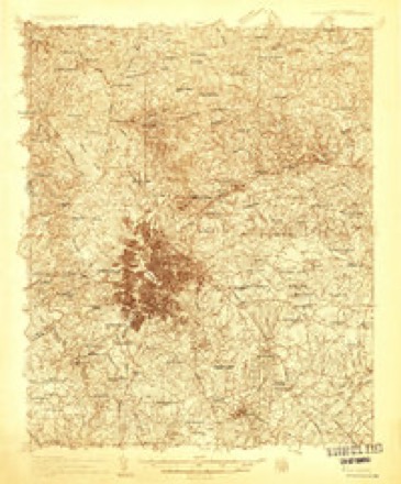
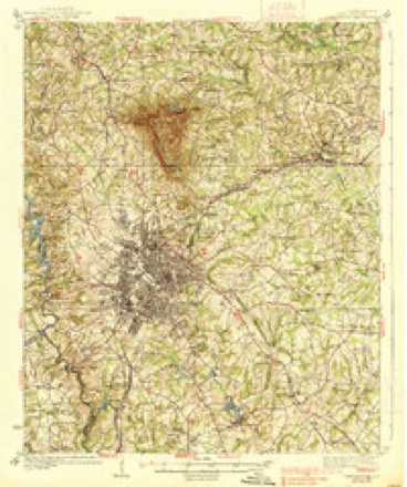
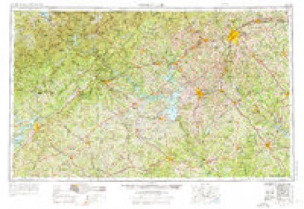
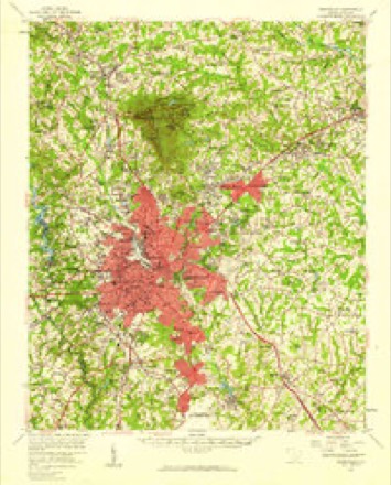
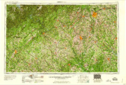
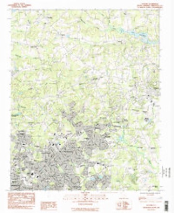
11 topographic sheets cover this place, the earliest surveyed in 1935 and the latest in 1991. It stands in the Greenville census division. It lies in ZIP code area 29687. The Survey maps it on the Taylors quadrangle.
Topographic sheets covering this place
8 surveys from 11 printed sheetsMatched by testing this settlement's coordinate against the published boundary of every sheet in the United States Geological Survey's historical collection. Each opens the scanned sheet at the Survey.
- 1935 USGS Greenville quadrangle1:48000
- 1938 USGS Greenville quadrangle1:62500, 2 printings
- 1954 USGS Greenville quadrangle1:250000, 3 printings
- 1957 USGS Greenville quadrangle1:62500
- 1958 USGS Greenville quadrangle1:250000
- 1983 USGS Taylors quadrangle1:24000
- 1984 USGS Greenville quadrangle1:100000
- 1991 USGS Greenville quadrangle1:100000
Fires near this place
39 since 1993Regional context, not property-specific evidence. The federal wildfire occurrence database lists 39 fires within 5 miles of Cherokee Forest between 1993 and 2015, burning about 170 acres in total. 1 started naturally. 4 were recorded as arson. Distance is straight-line from the map coordinates, so a fire counted here may appear on a neighbouring settlement's page as well.
| Reported cause | Fires |
|---|---|
| Missing data/not specified/undetermined | 17 |
| Debris and open burning | 7 |
| Misuse of fire by a minor | 6 |
| Arson/incendiarism | 4 |
| Equipment and vehicle use | 3 |
| Railroad operations and maintenance | 1 |
| Natural | 1 |
The most recent of them, most recent first, with the day each was reported and the service that recorded it.
| Date | Cause | Size | Reported by | Name on the report |
|---|---|---|---|---|
| 4 September 2005 | Misuse of fire by a minor | 1.0 acres | South Carolina Forestry Commission | not named |
| 30 September 2007 | Misuse of fire by a minor | under an acre | South Carolina Forestry Commission | not named |
| 3 September 2008 | Debris and open burning | under an acre | South Carolina Forestry Commission | not named |
| 25 September 1999 | Missing data/not specified/undetermined | 7.0 acres | South Carolina Forestry Commission | not named |
| 31 August 2011 | Missing data/not specified/undetermined | under an acre | South Carolina Forestry Commission | not named |
| 7 July 2000 | Missing data/not specified/undetermined | 10 acres | South Carolina Forestry Commission | not named |
| 20 July 2015 | Natural | 1.0 acres | South Carolina Forestry Commission | not named |
| 13 July 1994 | Missing data/not specified/undetermined | under an acre | South Carolina Forestry Commission | not named |
Settlements close enough to share some of these fires:
Mines and quarries near this place
2 within 5 milesRegional context, not property-specific evidence. The federal mineral resources record lists 2 workings within 5 miles of Cherokee Forest: 1 producer, 1 occurrence. 1 still produces. What was taken out: Iron, Aluminum, Mica. Distance is straight-line from the map coordinates, so a quarry counted here may appear on a neighbouring settlement's page as well.
| Where | Site | Commodity | Status | Recorded |
|---|---|---|---|---|
| Barnett & Simmons Deposits | Mica | Occurrence | ||
| Edgcomb Steel--Greenville, S.C. | Iron, Aluminum | Producer |
Storms near this place
17 since 2010Regional context, not property-specific evidence. The National Weather Service names Cherokee Forest in 17 storm reports between 2010 and 2025: 9 thunderstorm wind, 5 hail, 2 flash flood, 1 heavy rain. No death or injury is recorded in these reports. Each account below is quoted exactly as the forecast office filed it, from the NOAA Storm Events Database, and each date opens the federal record of that event.
| When | Event | Place named | Harm | What the report says |
|---|---|---|---|---|
| August 2014 | Flash Flood | Cherokee Forest | $200,000 | A major flash flood event developed in the Greer and Taylors area when 3 to 6 inches of rain fell in only a couple of hours. The primary problem area was Brushy Creek, which produced its worst flooding in recent history. A stream gauge on Brushy Creek between Hudson Rd and East North St reached its highest level (13.4 ft) since August 1995 (Tropical Storm Jerry). Water entered multiple residences along Edwards Rd in Taylors. Brushy Creek also flooded portions of Boiling Springs Rd and adjacent side streets. In addition, a small tributary washed out a bridge on Memorial Dr Ext near Tryon St (1.5 NW Greer). Two vehicles drove into the resulting hole and each driver received minor injuries. Other small tributaries overflowed their banks throughout the Greer and Taylors area, flooding roads and some homes. |
| August 2023 | Thunderstorm Wind | Cherokee Forest | $100,000 | NWS employee reported numerous trees and large limbs blown down in Taylors abnd vicinity. At Least one tree fell on a house in Taylors and in Greer. |
| August 2025 | Thunderstorm Wind | Cherokee Forest | - | Utility company reported a tree blown down on power lines on Lake Fairfield Dr. Law enforcement reported another tree down on Richbourg Rd. |
| May 2023 | Hail | Cherokee Forest | - | NWS employee measured up to 2.25 inch hail on Riviera Dr. |
| June 2023 | Thunderstorm Wind | Cherokee Forest | - | Public reported three trees blown down on King George Rd. |
| May 2023 | Hail | Cherokee Forest | - | Public reported two-inch diameter hail. |
| June 2022 | Thunderstorm Wind | Cherokee Forest | - | Public posted video on Social Media of a large tree limb blown own on power lines off Edwards Rd. Highway Patrol reported a tree down on Blacks Rd near Rolling Green Cir. |
| July 2017 | Thunderstorm Wind | Cherokee Forest | - | Highway patrol reported a tree down blown down at Haywood Rd and East North St. Media reported a large tree blown down on East Main St in Taylors. |
| July 2017 | Thunderstorm Wind | Cherokee Forest | - | County comms reported a tree blown down at Hudson Rd and Shady Ln and another tree down on Shannon Lake Circle. |
| July 2013 | Hail | Cherokee Forest | - | National Severe Storms Lab relayed public report of nickel size hail on Devenger Rd. |
| July 2013 | Thunderstorm Wind | Cherokee Forest | - | More than a dozen trees were blown down from the east side of Greenville, across Mauldin and Five Forks. |
| June 2013 | Heavy Rain | Cherokee Forest | - | Water was around two feet deep in parts of the Carlyle Point Subdivision, near the intersection Boiling Springs Rd. Water was about half way up the wheels of a few cars. |
| June 2011 | Hail | Cherokee Forest | - | Golf ball size hail was reported on Edwards Rd. |
| June 2010 | Thunderstorm Wind | Cherokee Forest | - | A tree was blown down on Edwards Rd at Cherokee Dr. |
| June 2010 | Thunderstorm Wind | Cherokee Forest | - | Trees were blown down over the northeast part of the city of Greenville. Affected roads include the intersection of Cleveland St and Pleasantburg Dr, the intersection of Howell Rd and E North St and the intersection of Botany Rd and Edwards Rd. |
| July 2010 | Hail | Cherokee Forest | - | Nickel size hail fell on Beaufort St on the northeast side of Greenville. |
| August 2010 | Flash Flood | Cherokee Forest | - | Boiling Springs Rd was closed at the bridge over Brushy Creek, with about a foot of water running over one side of the bridge. |
Nearest settlements
The eight closest, with where each one stands in the county. Distances are straight-line, computed from the Geographic Names Information System coordinates.
| Map | Place | Distance | Sheets |
|---|---|---|---|
| Green Forest | 0.4 miles | 11 | |
| Wade Hampton | 0.5 miles | 11 | |
| Broadmoor | 0.5 miles | 11 | |
| Broadleaf Acres | 0.5 miles | 11 | |
| Forestdale Heights | 0.6 miles | 11 | |
| Homestead Acres | 0.7 miles | 11 | |
| Thornwood | 0.7 miles | 11 | |
| Botany Woods | 0.7 miles | 11 |
Provenance
This settlement is recorded in the Geographic Names Information System as feature 1231161. The sheet list is computed by point-in-boundary test against the United States Geological Survey's historical topographic inventory. Both are works of the United States government and carry no copyright under 17 U.S.C. 105.
Wildfire. Short, Karen C. 2022. Spatial wildfire occurrence data for the United States, 1992-2020 [FPA_FOD_20221014]. 6th Edition. Fort Collins, CO: Forest Service Research Data Archive. https://doi.org/10.2737/RDS-2013-0009.6 Collected with United States Government funding and usable without additional permissions or fees.
Mines and quarries. USGS Mineral Resources Data System (MRDS) https://mrdata.usgs.gov/mrds/ A work of the United States government, no copyright under 17 U.S.C. 105.
Storms. NOAA National Centers for Environmental Information, Storm Events Database https://www.ncei.noaa.gov/stormevents/ A work of the United States government, no copyright under 17 U.S.C. 105. Narratives are quoted verbatim from the National Weather Service report and are not edited or summarised.