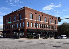
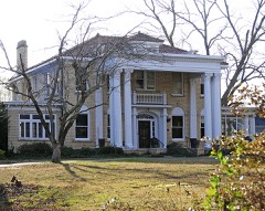
Block
From the record
97 National Register listings published here, 1 of them a National Historic Landmark.
Sources: the National Register database, National Park Service
88 topographic sheets and 14 fire insurance atlases across 2 places.
97 National Register listings published here, 1 of them a National Historic Landmark.
Sources: the National Register database, National Park Service
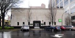
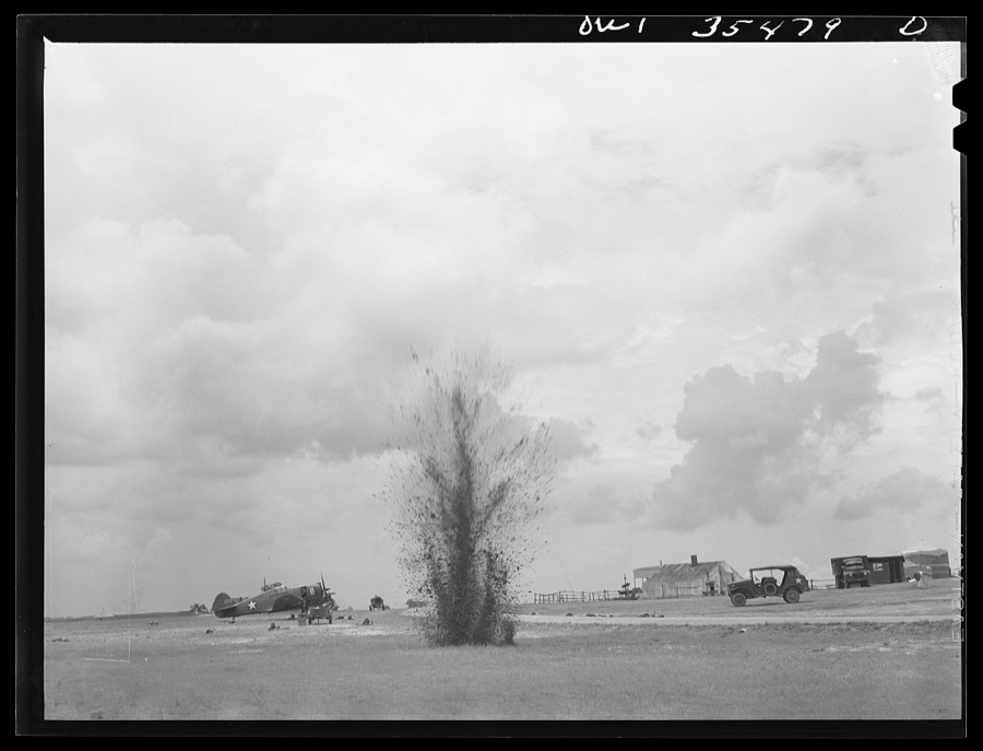
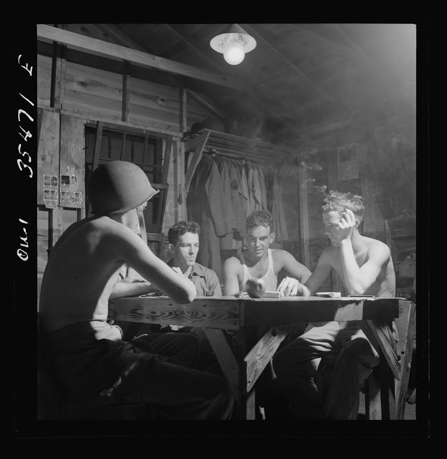
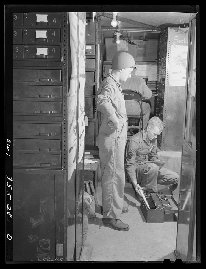
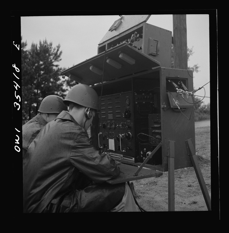
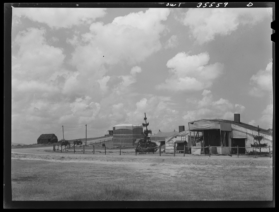
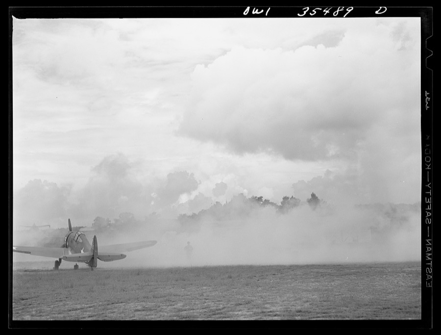
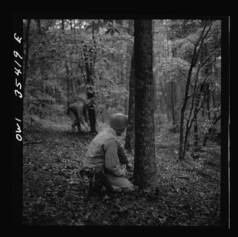
Taken for the Office of War Information and the Farm Security Administration, who photographed the country between 1935 and 1944. Works of United States government photographers, with no known restriction on use. Each opens its catalogue record.
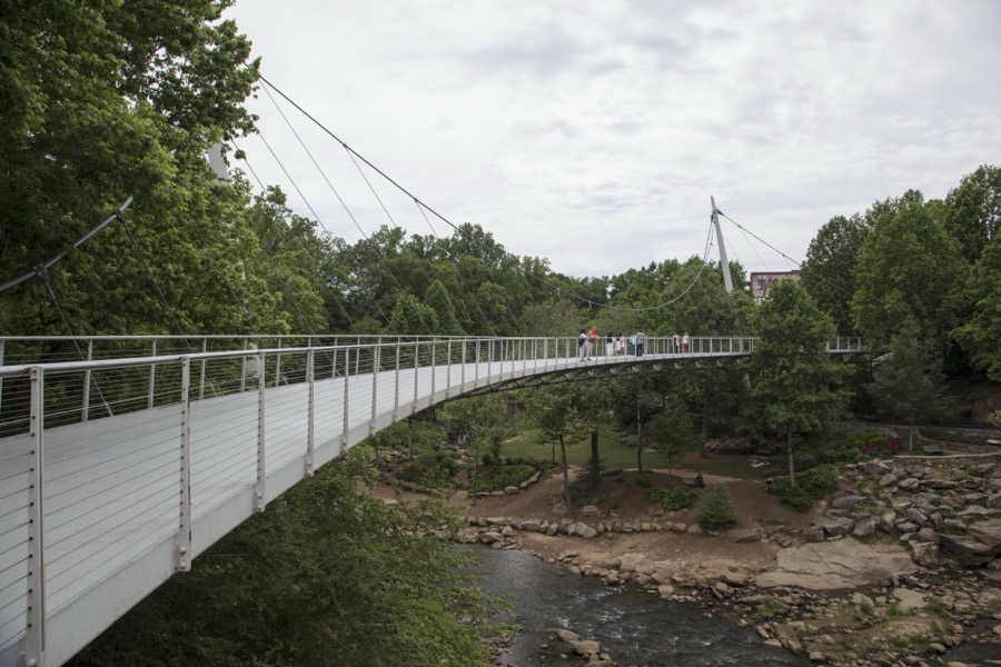
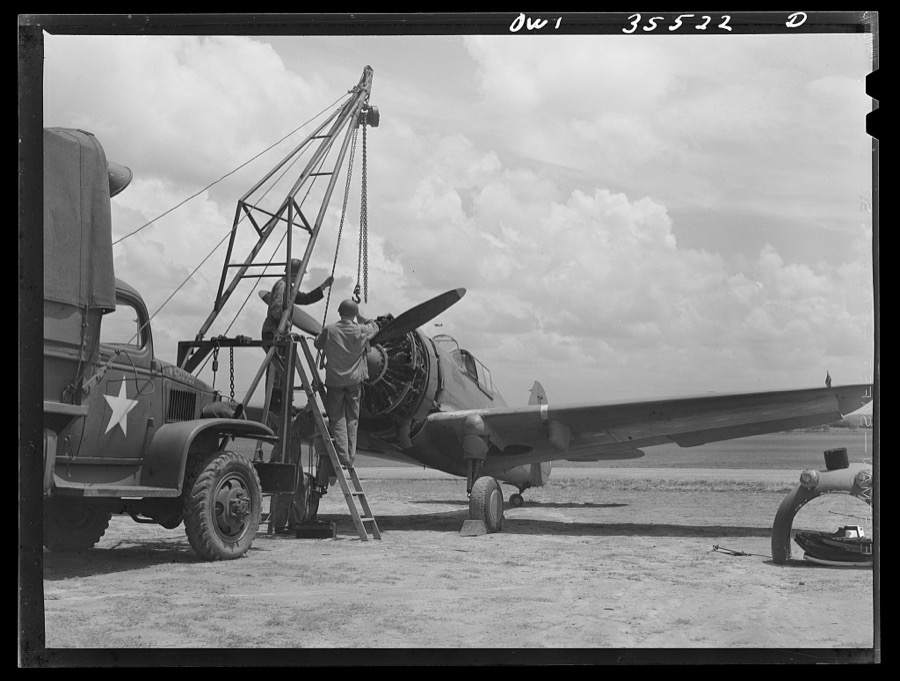
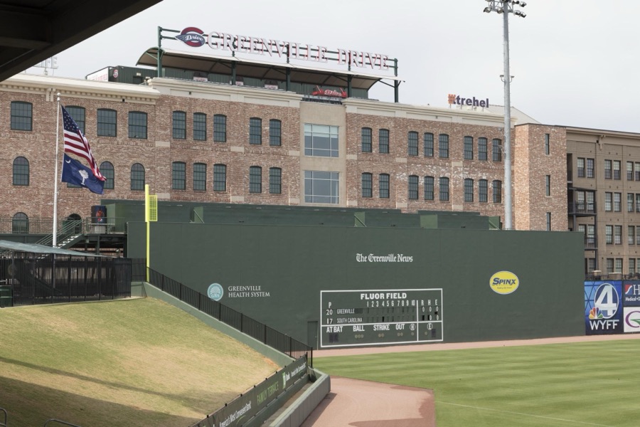
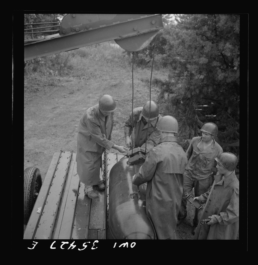
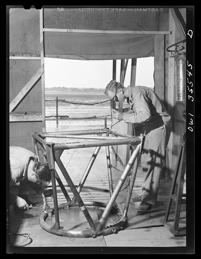
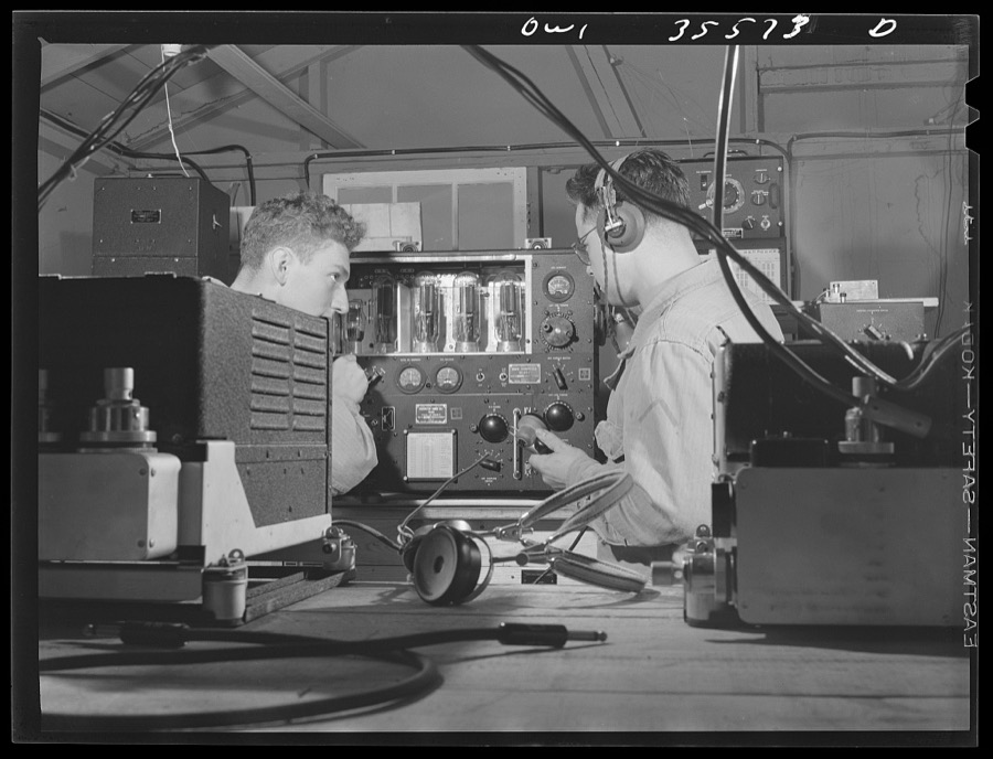
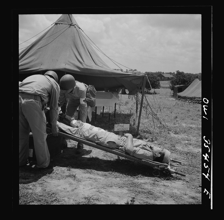
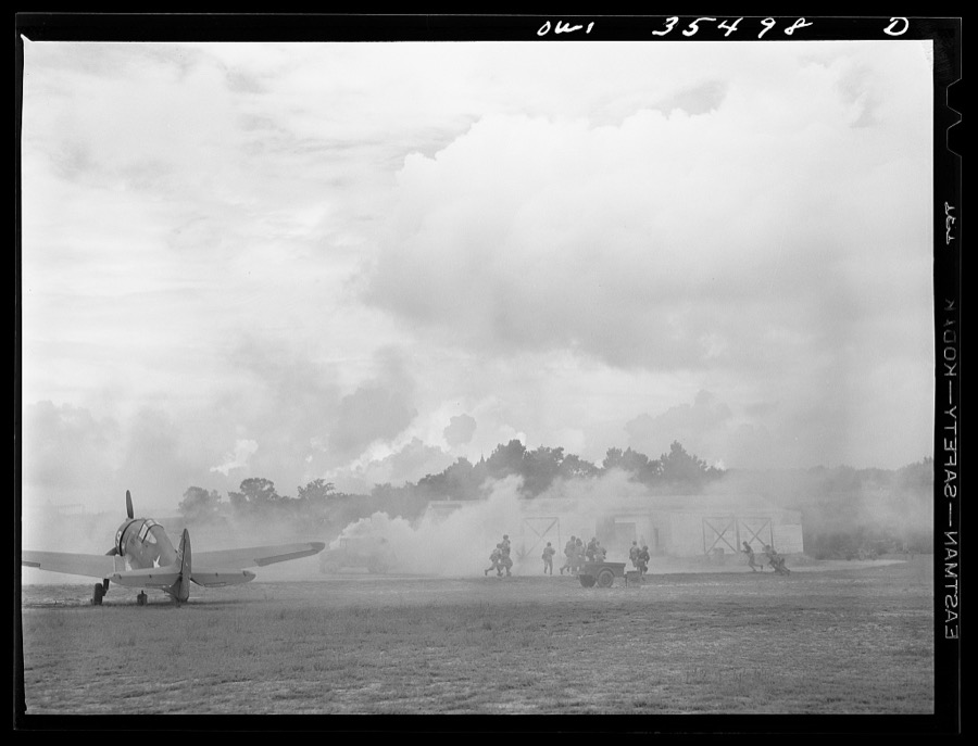
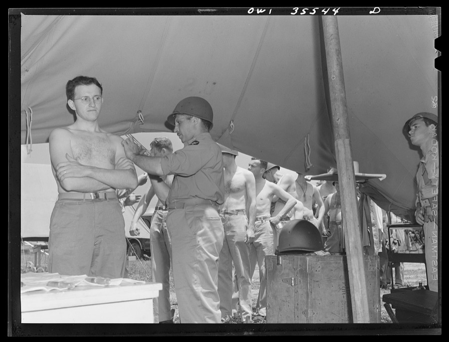
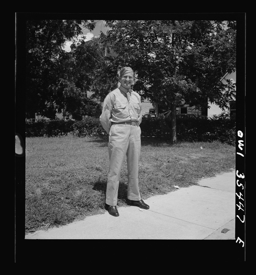
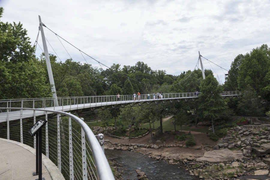
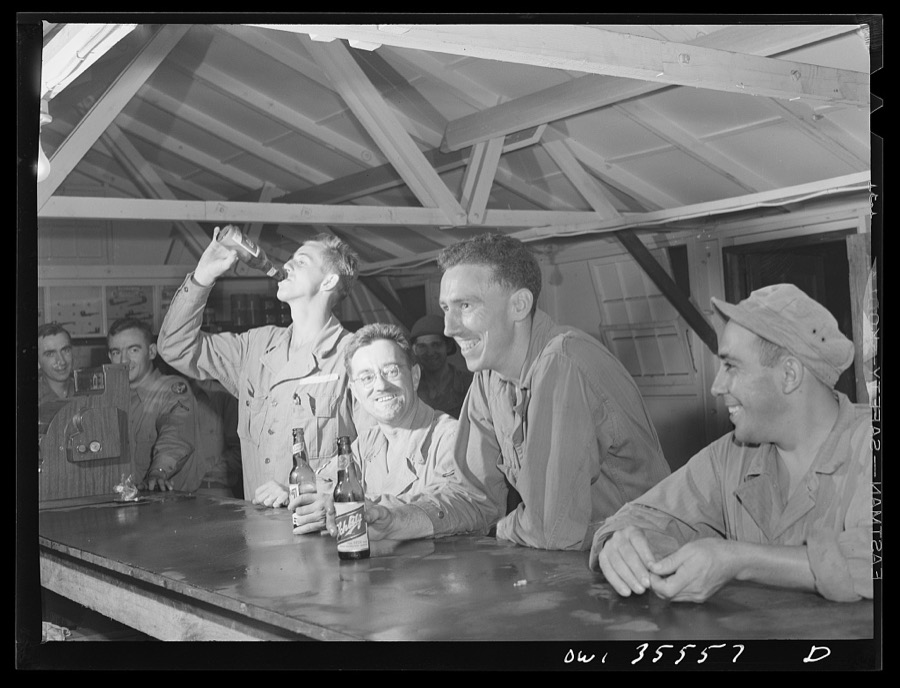
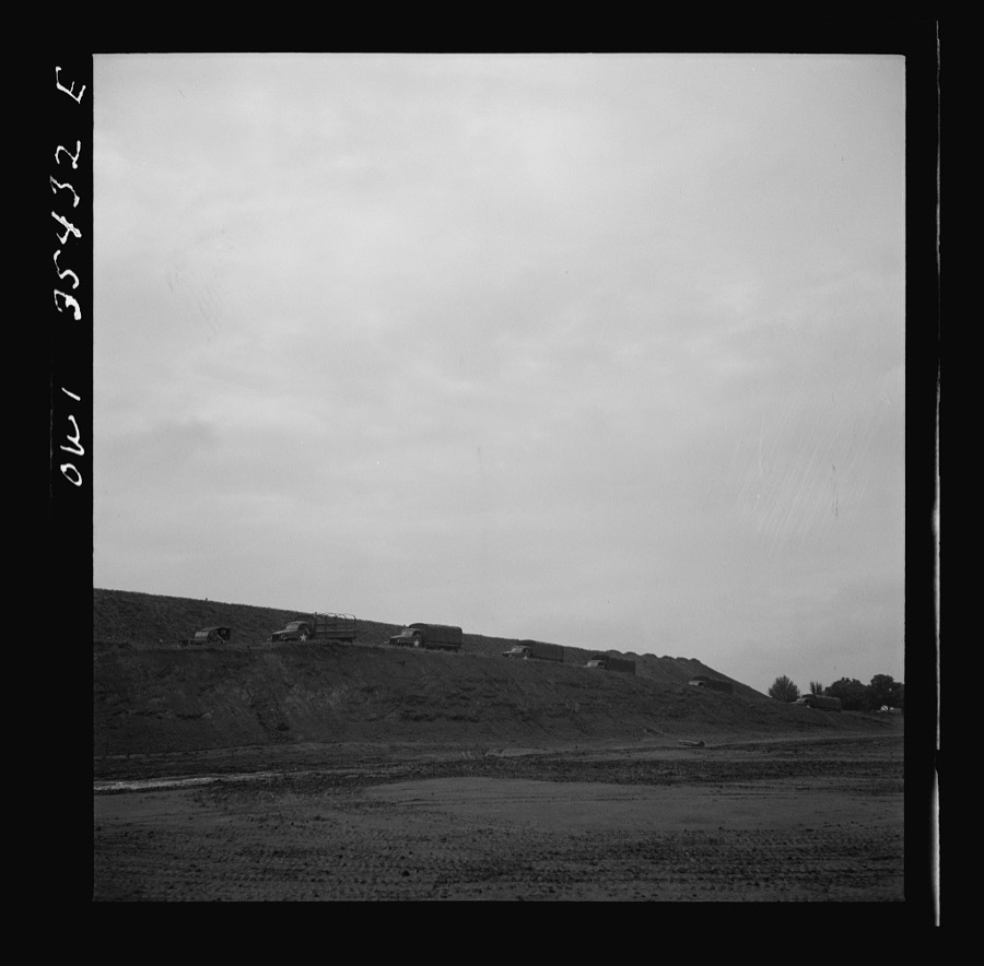
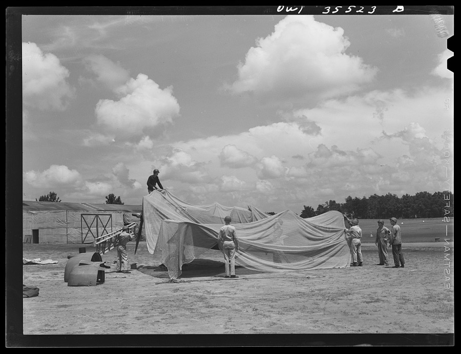
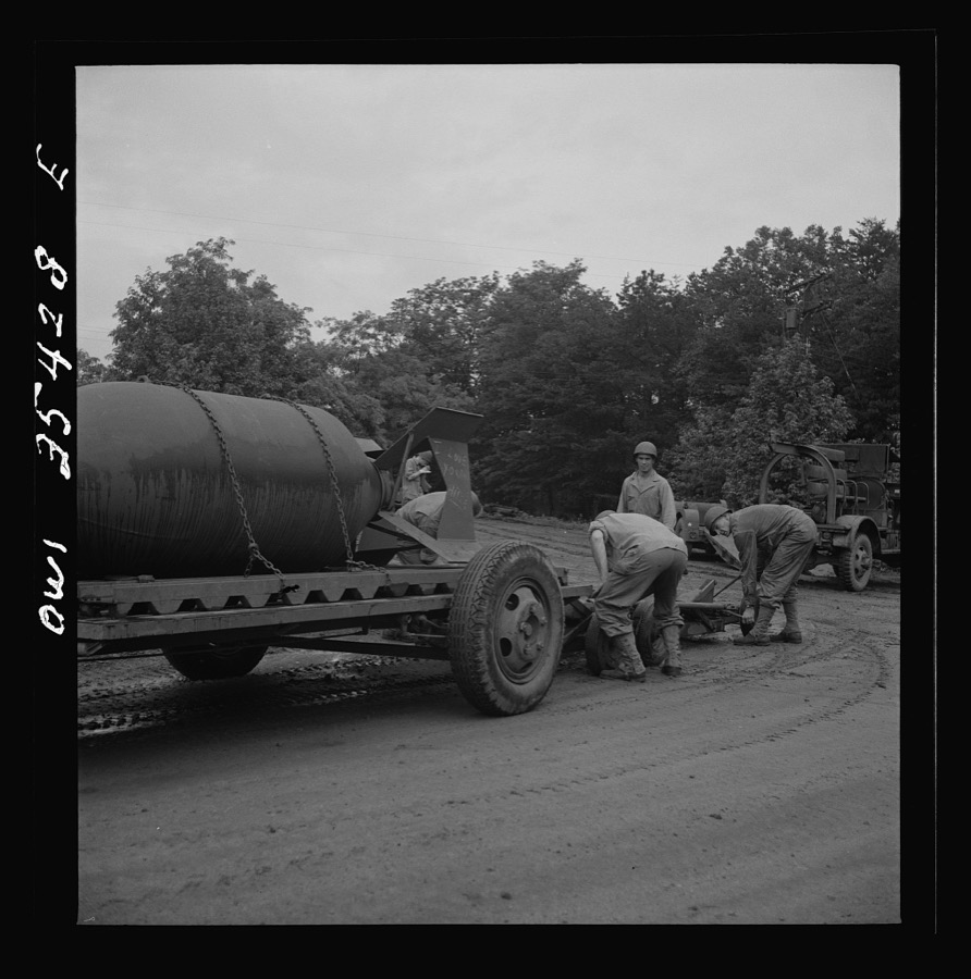
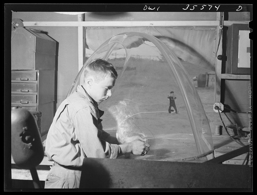
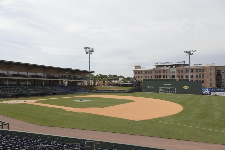
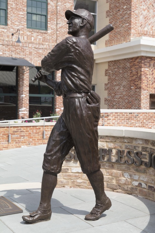
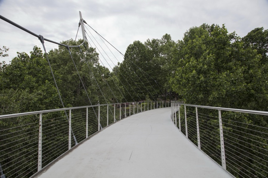
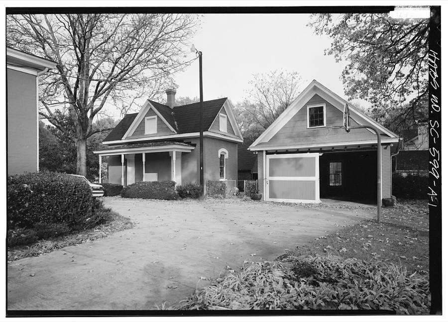
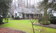
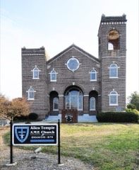
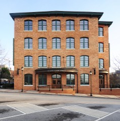
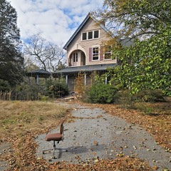
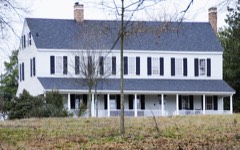
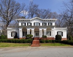
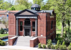
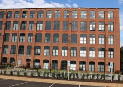
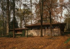
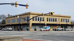
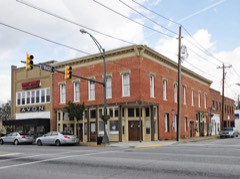
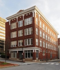
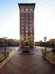
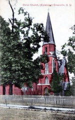
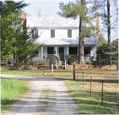
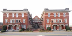
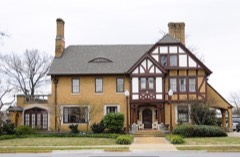
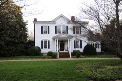
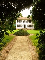
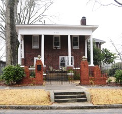
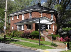
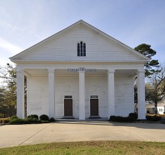
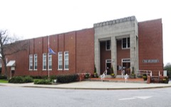
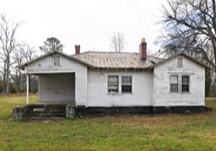
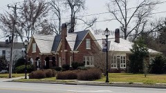
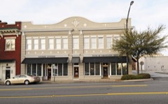
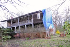
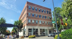
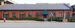
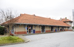
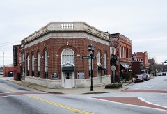
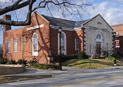
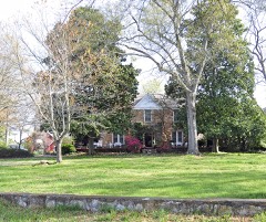
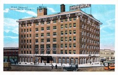
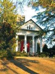
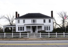
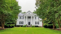
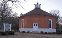
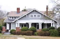
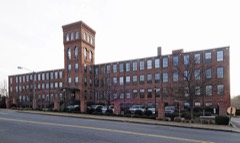
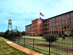
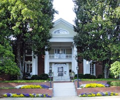
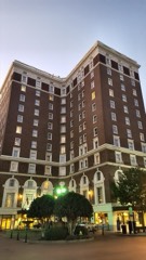
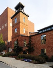
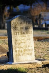
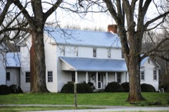
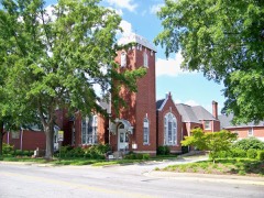
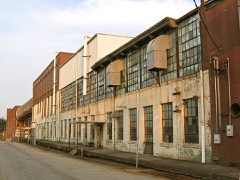
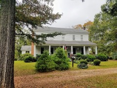
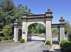
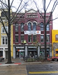
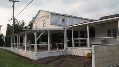
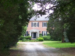
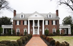
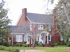
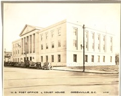
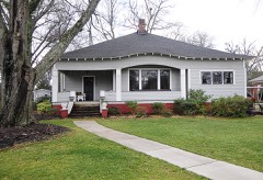
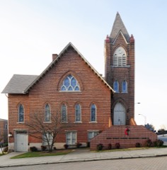
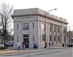
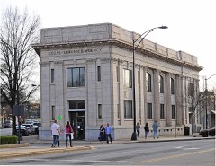
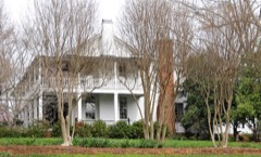
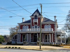
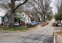
Every property in this county listed on the National Register of Historic Places, with the year it was listed and the federal nomination document.
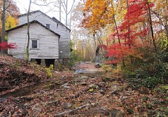
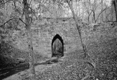
Greenville County has 1 covered bridge on the National Register. Each is a listed structure with a federal nomination on file.
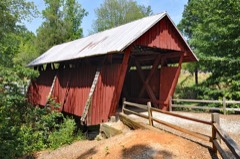 | Campbell's Covered Bridge | Listed 2009 |
Sampled issues, machine-read from the Library of Congress scan and published page by page, so every headline and column is searchable text.
Greenville, S.C., 1870 to 1873. Machine-read from the Library of Congress scan.
Greenville, S.C., 1854 to 1870. Machine-read from the Library of Congress scan.
Drawn when these were printed as single large sheets: the town seen from the air, and the county divided into its farms with every owner named. Each opens the original at the Library of Congress.
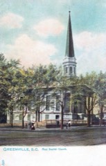
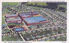
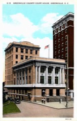
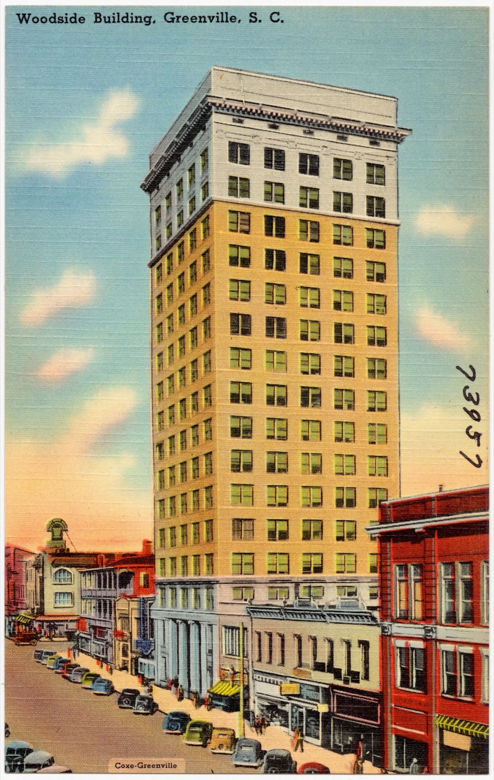
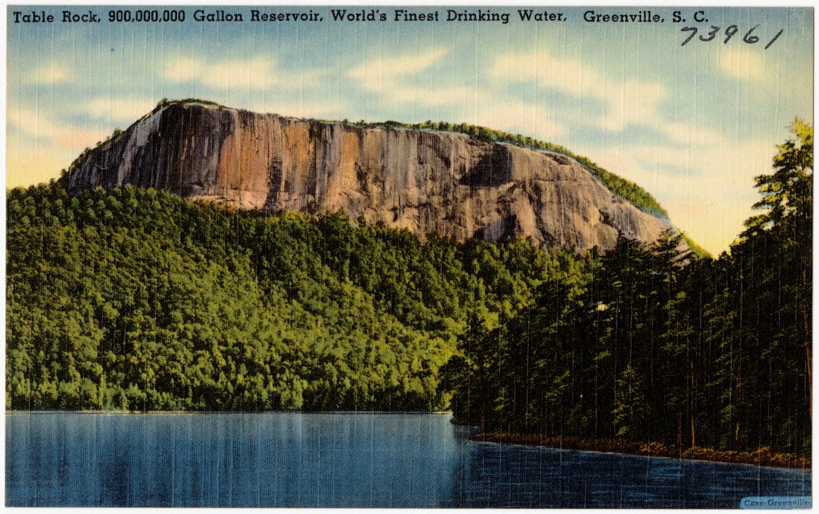
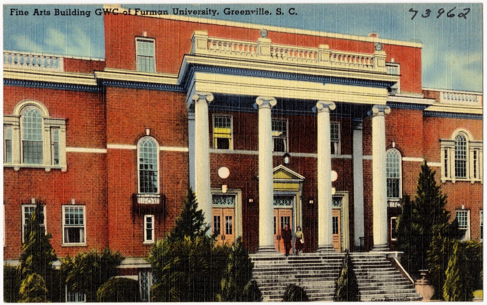
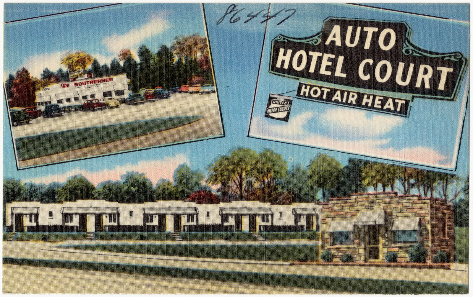
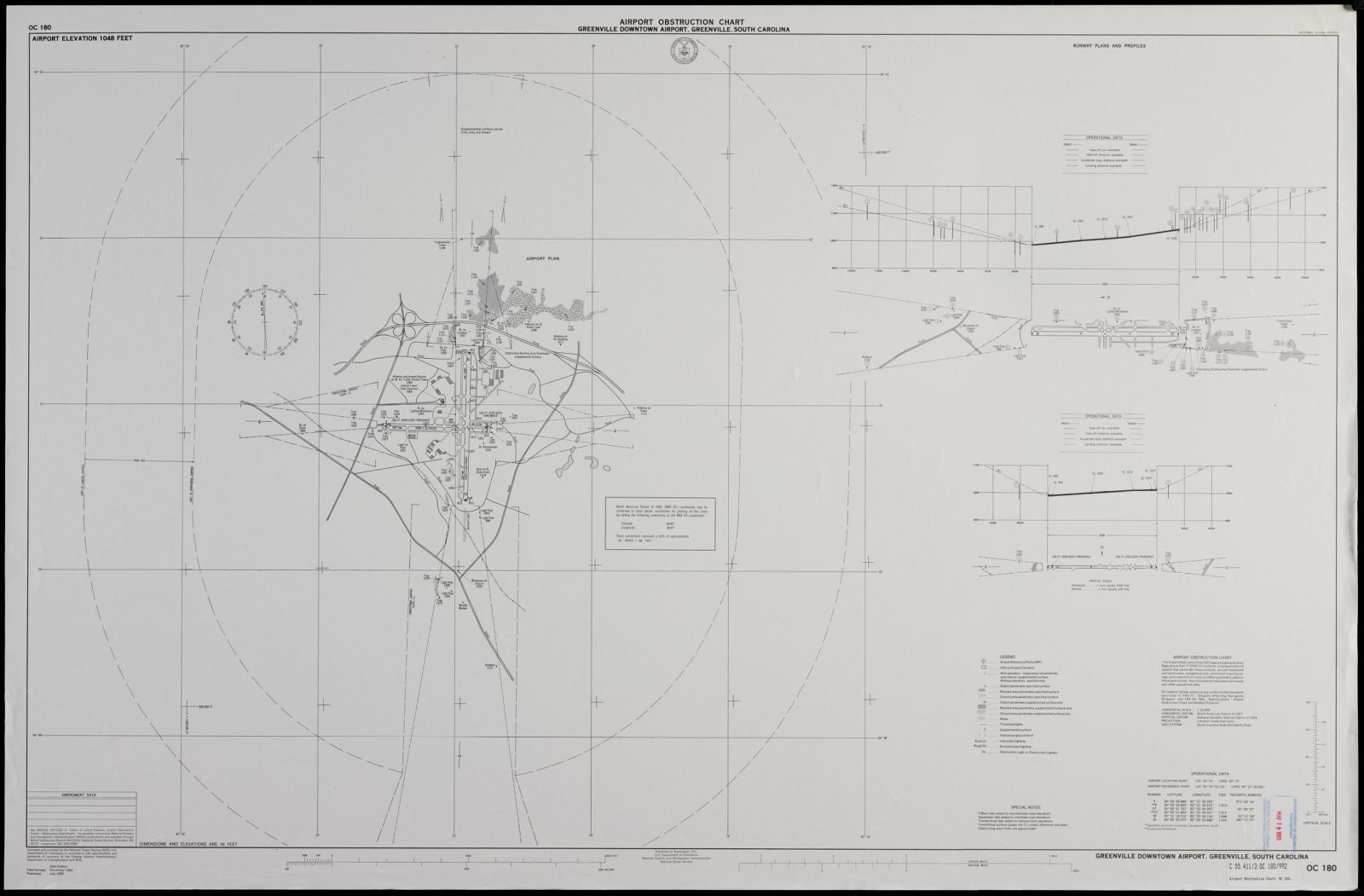
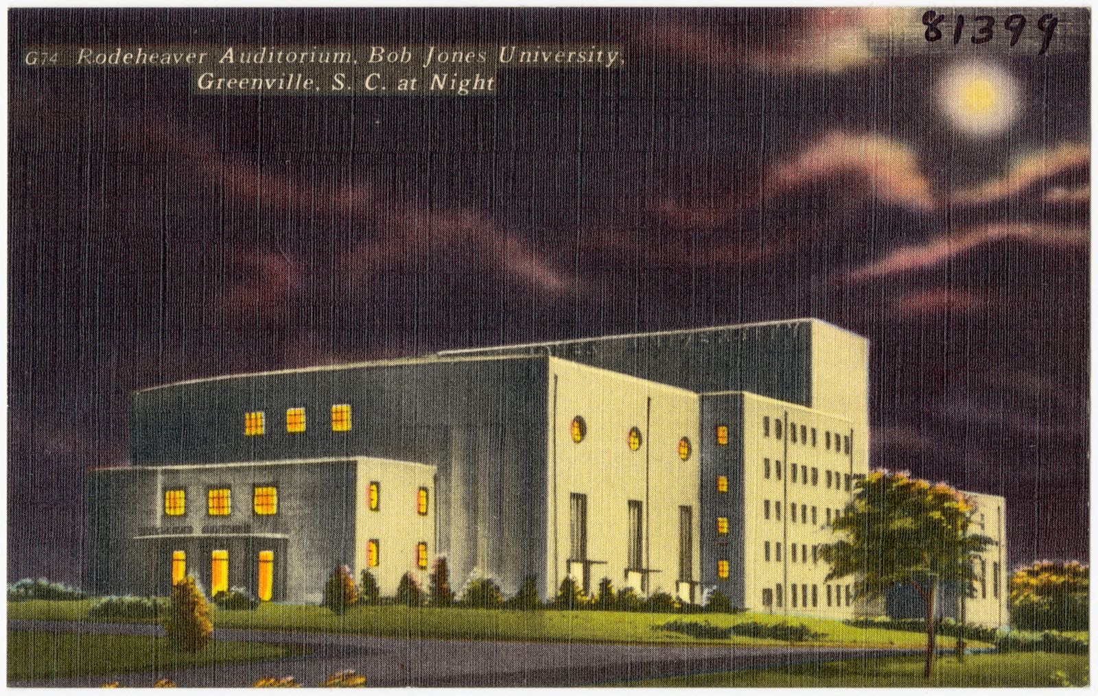
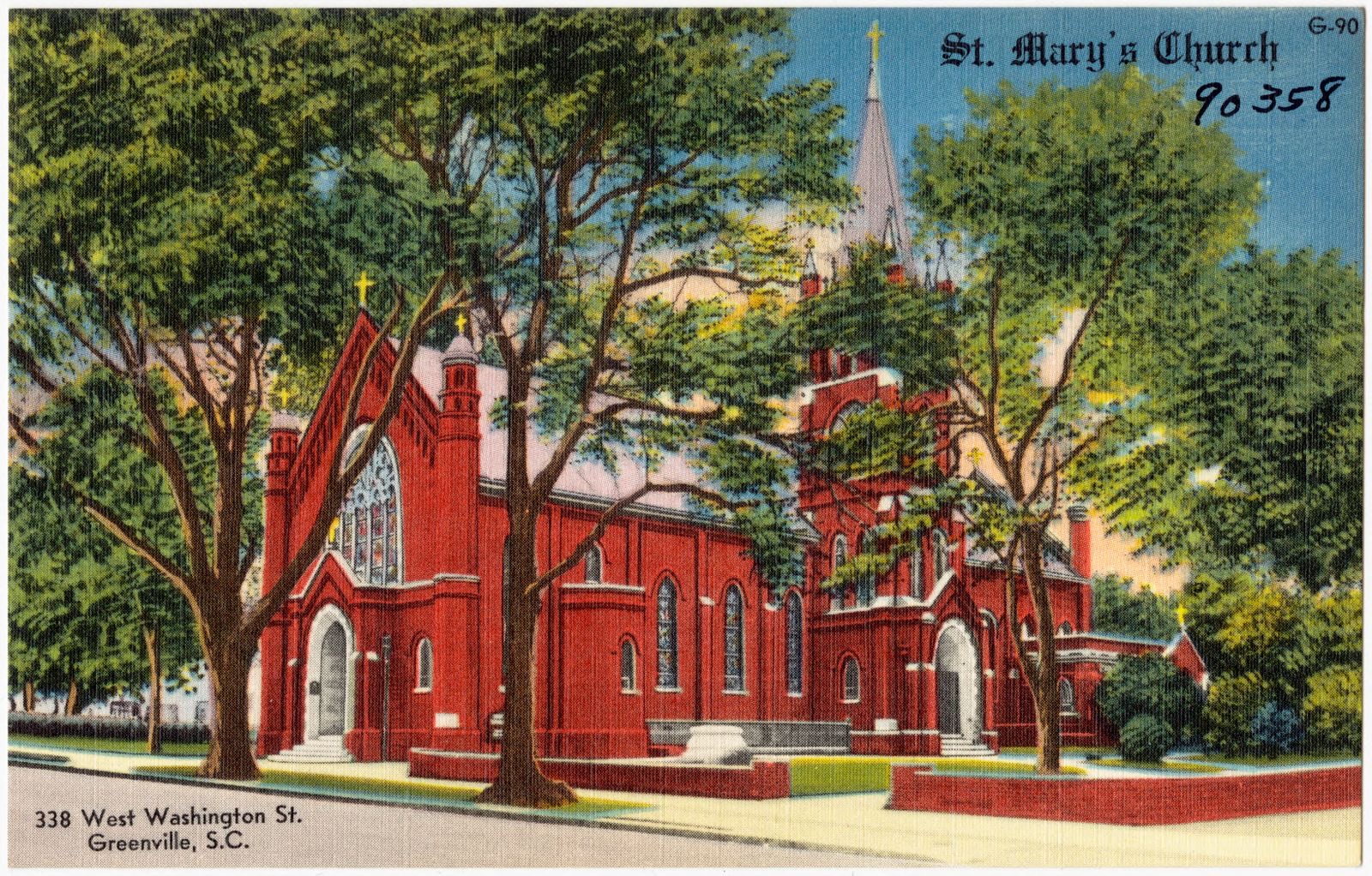
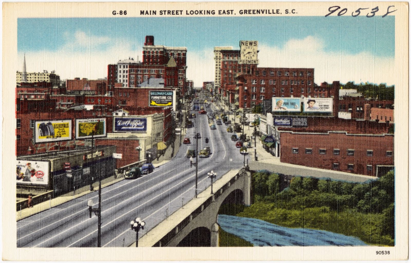
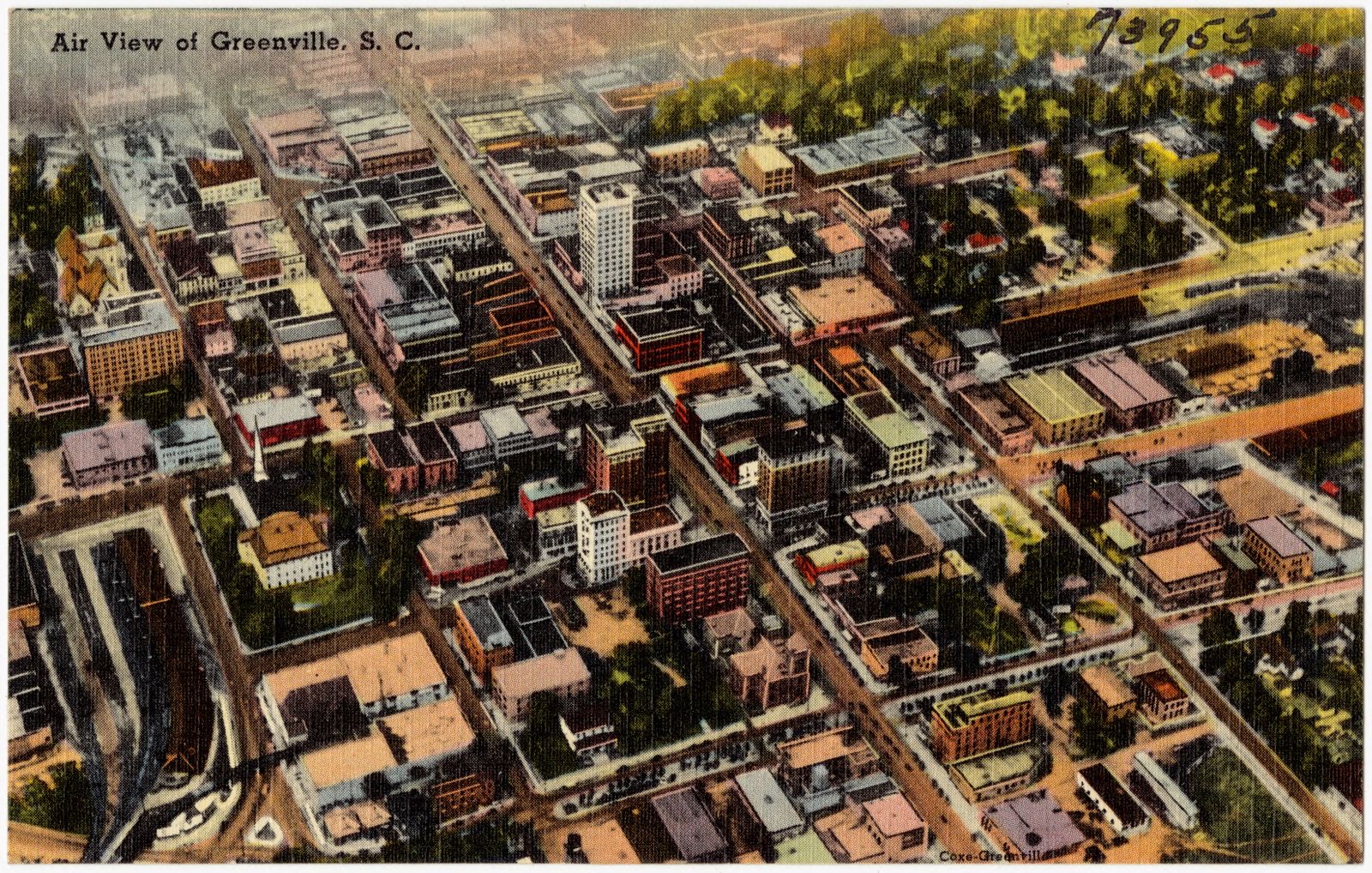
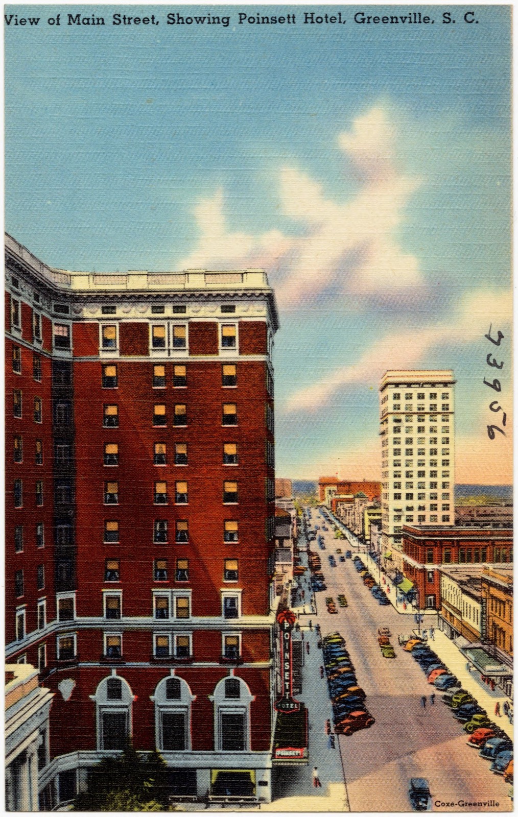
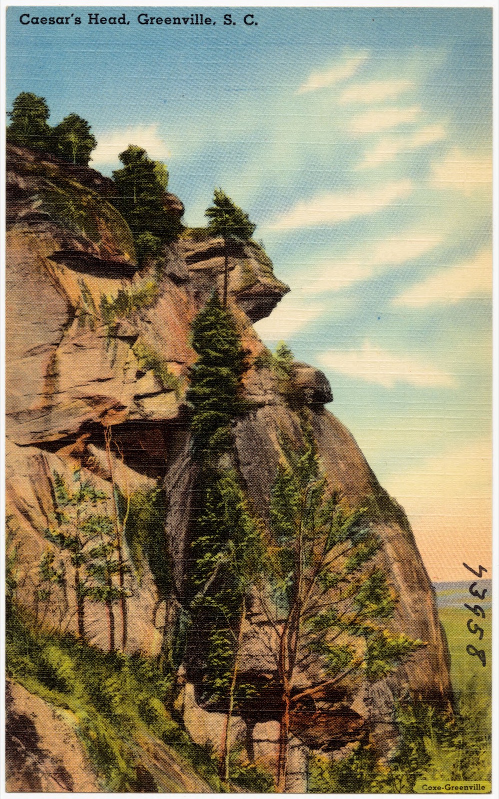
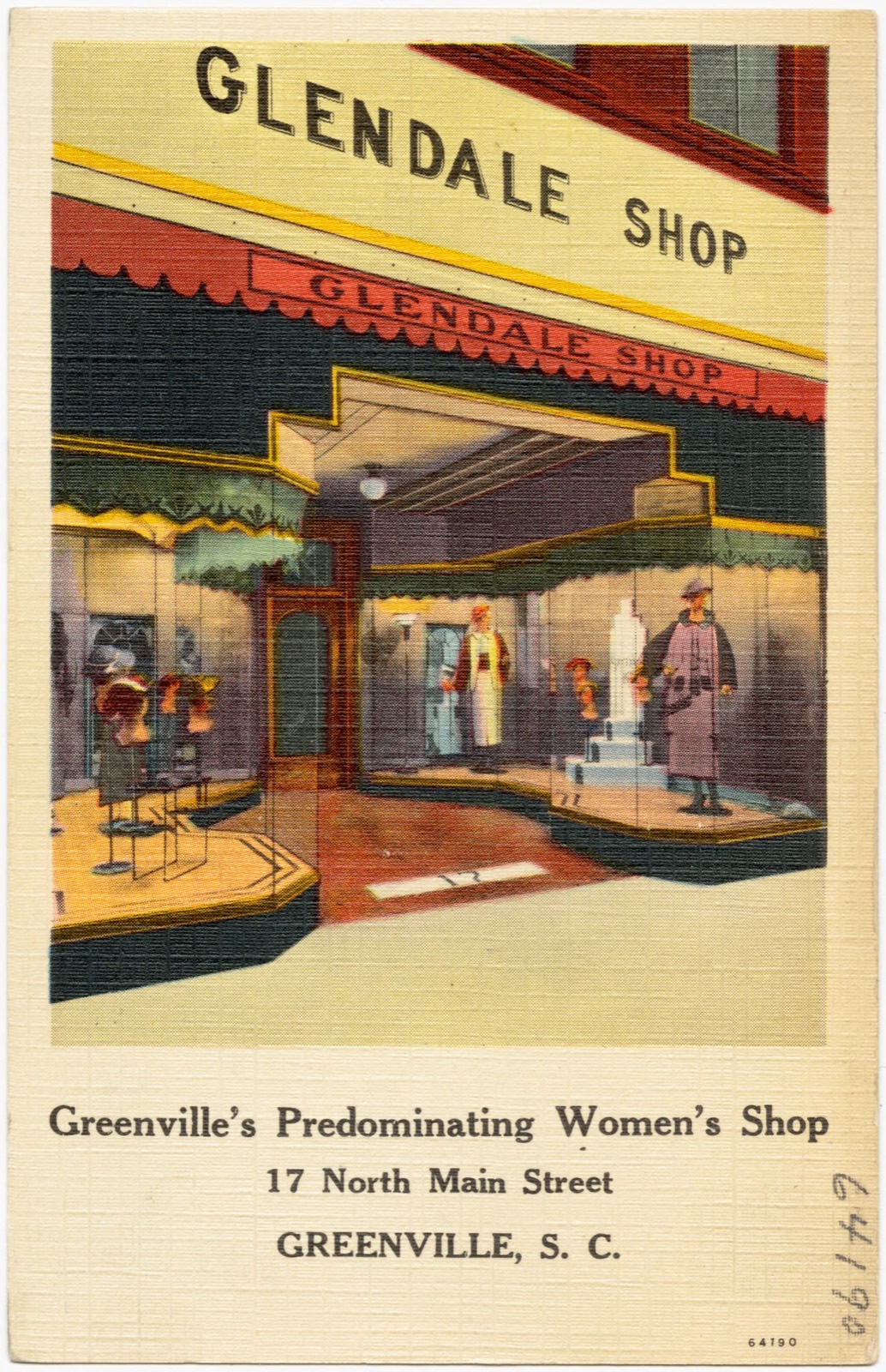
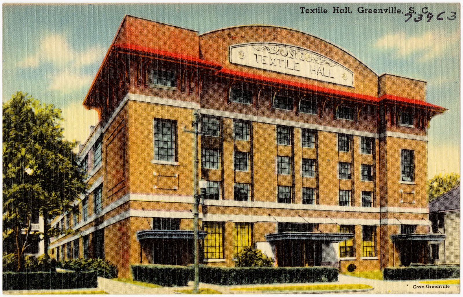
Selected from the Digital Public Library of America's 40 image records catalogued for this county. Every one shown here carries a public-domain status or a licence that permits reuse on a site that carries advertising; non-commercial, share-alike and restricted images are excluded. The selection is spread across the county's towns (at most eight per town), so no single institution's bulk upload crowds out the rest. Each opens the holding library's record, and the complete set at the Digital Public Library of America is one click away.
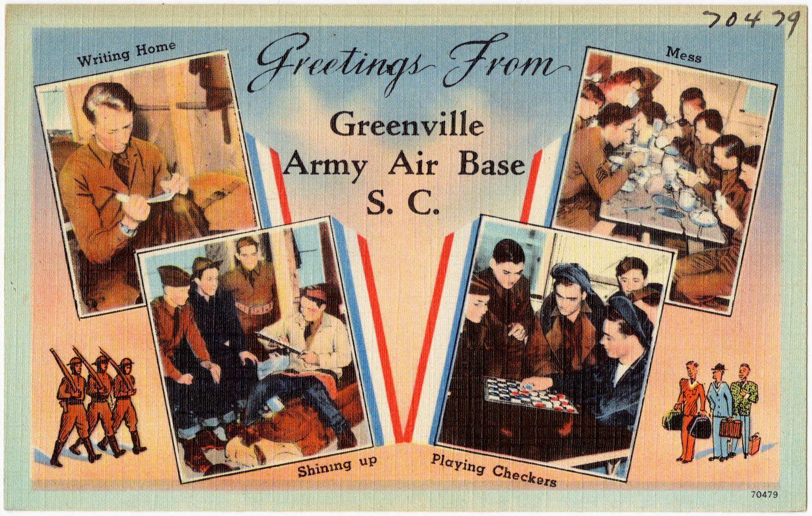
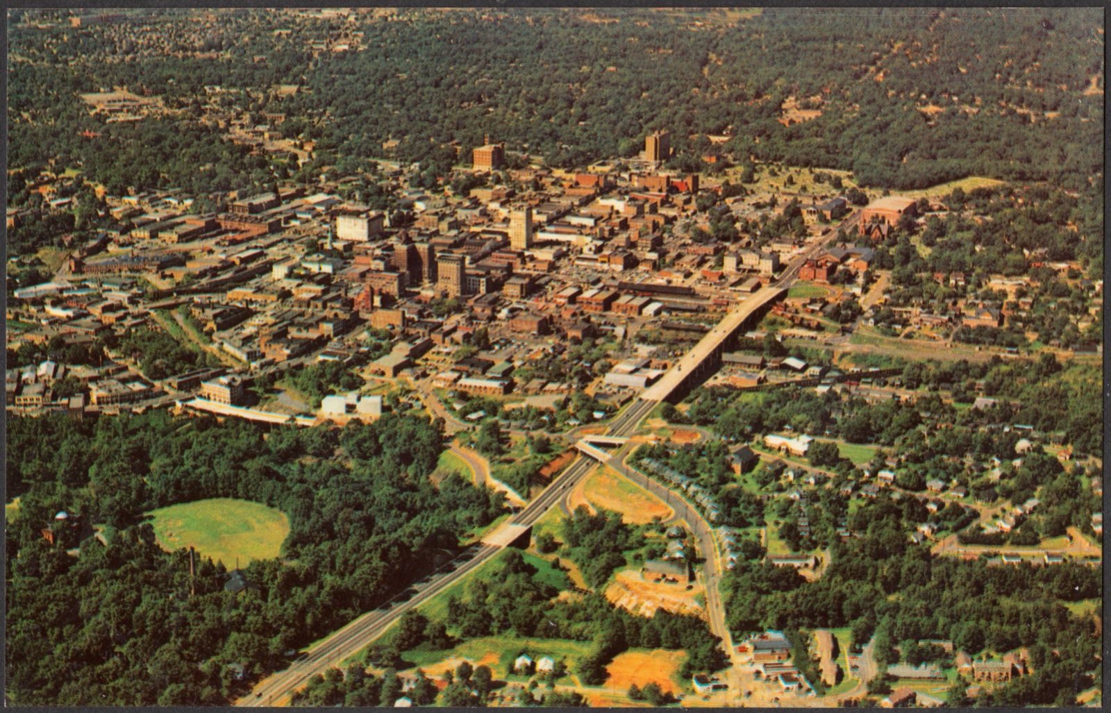
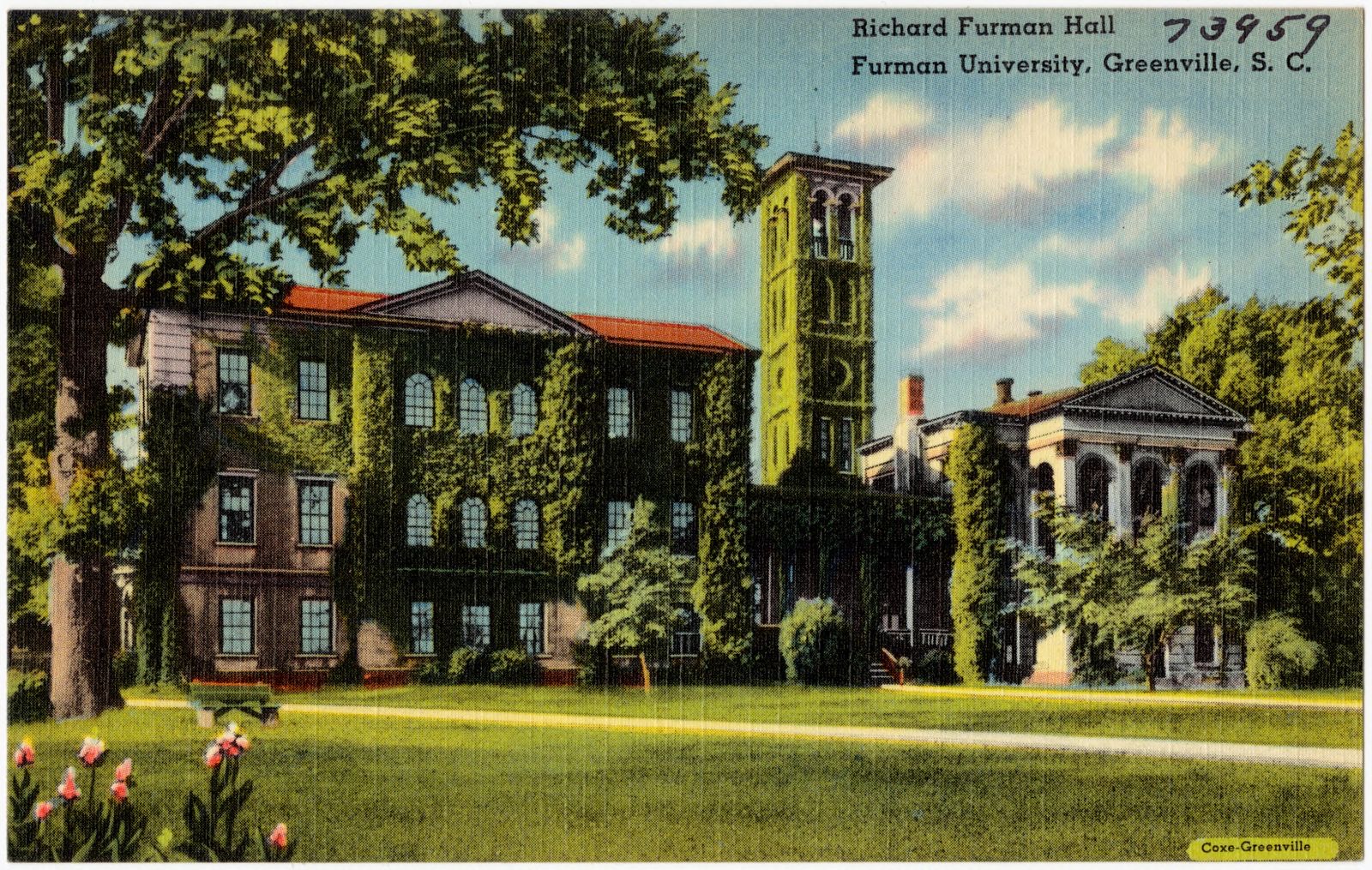
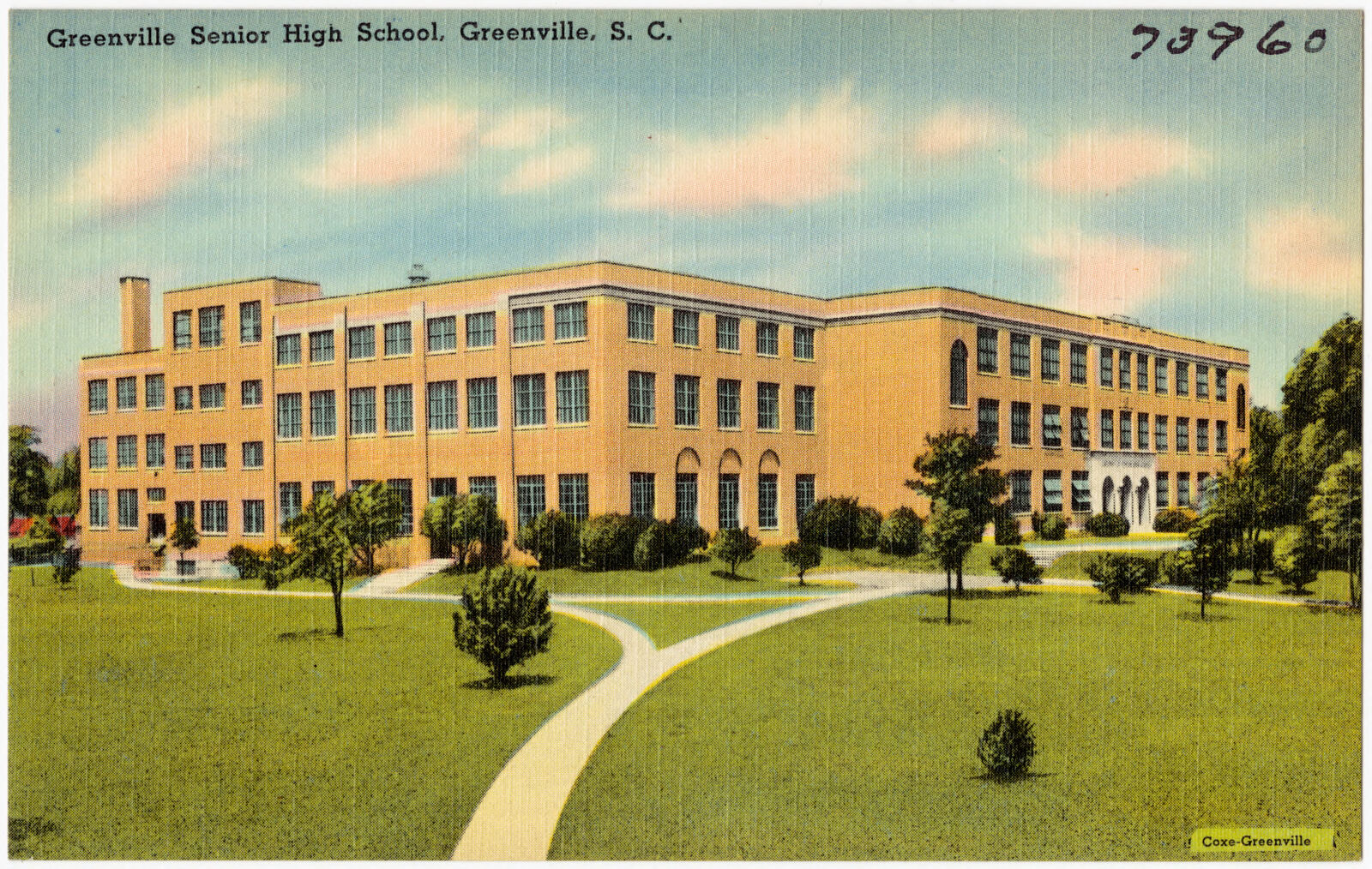
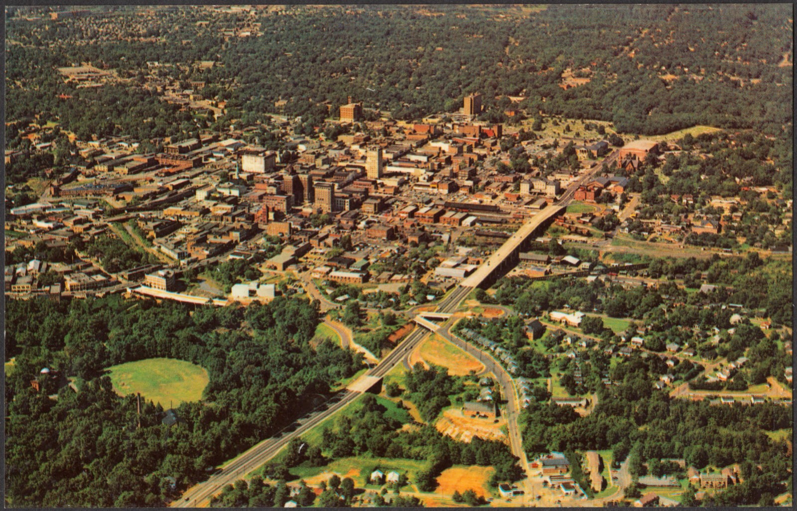
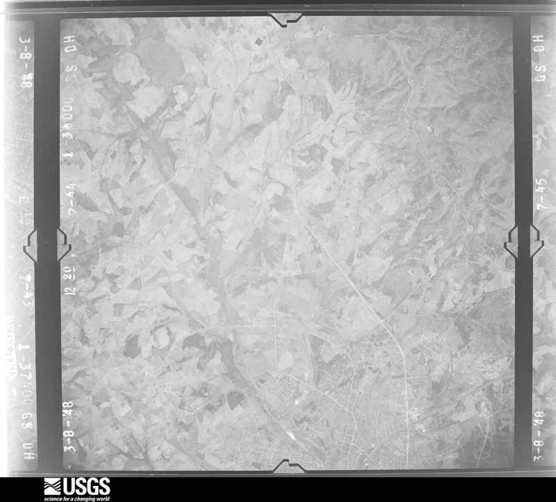
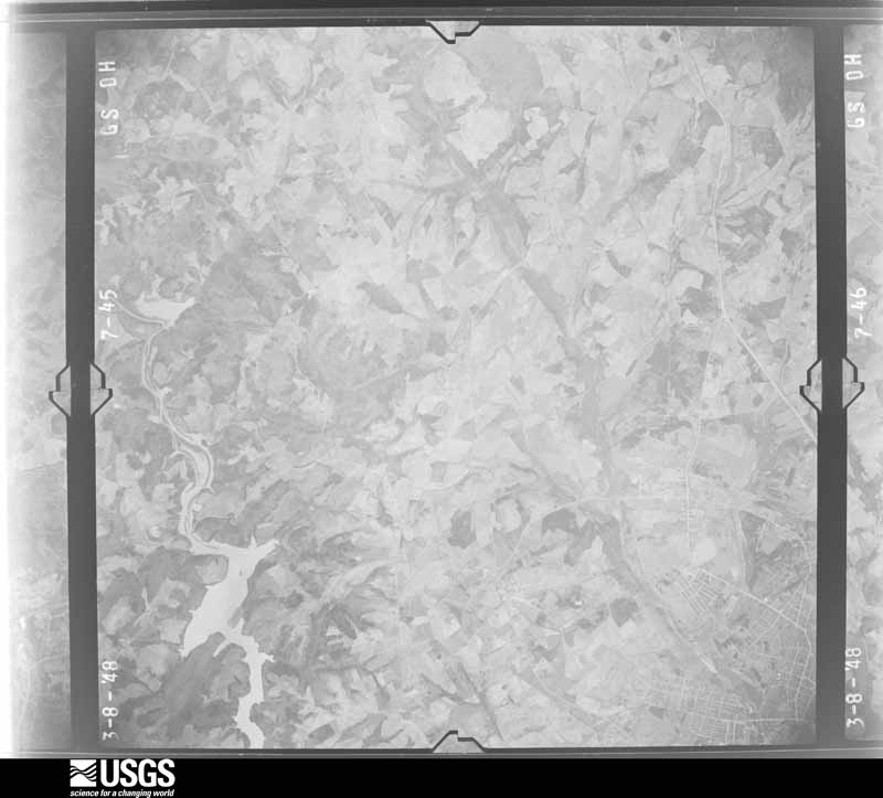
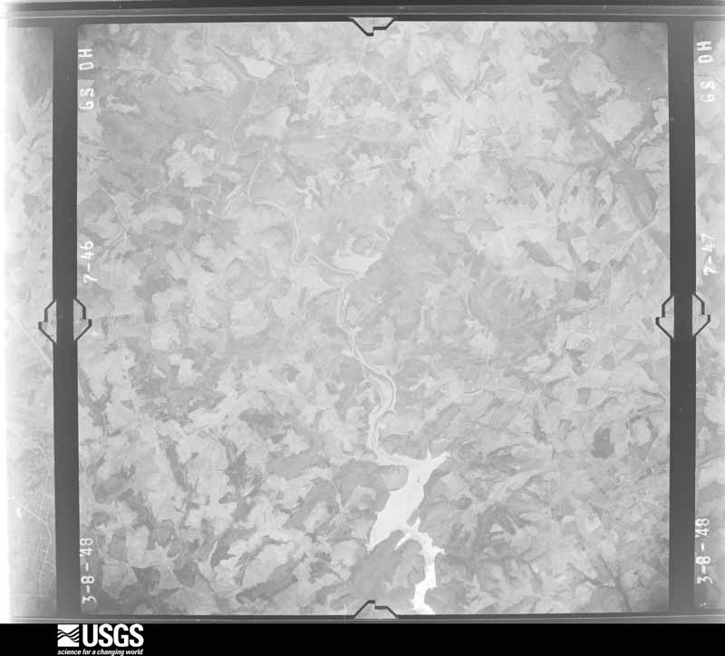
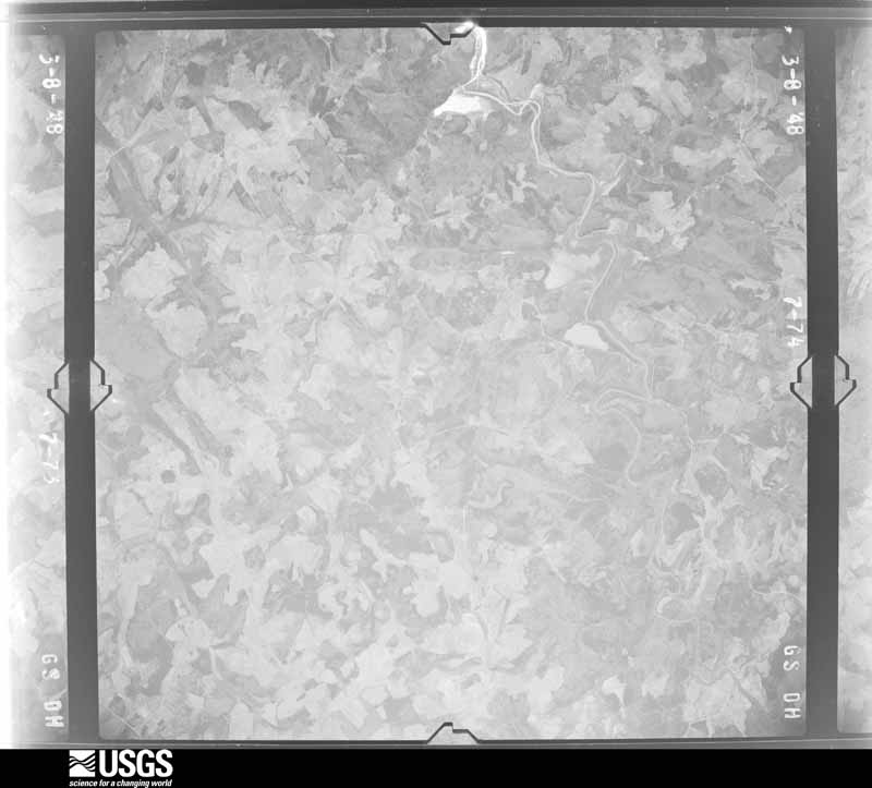
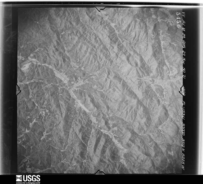
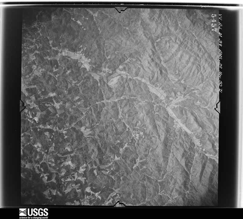
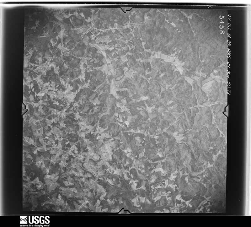
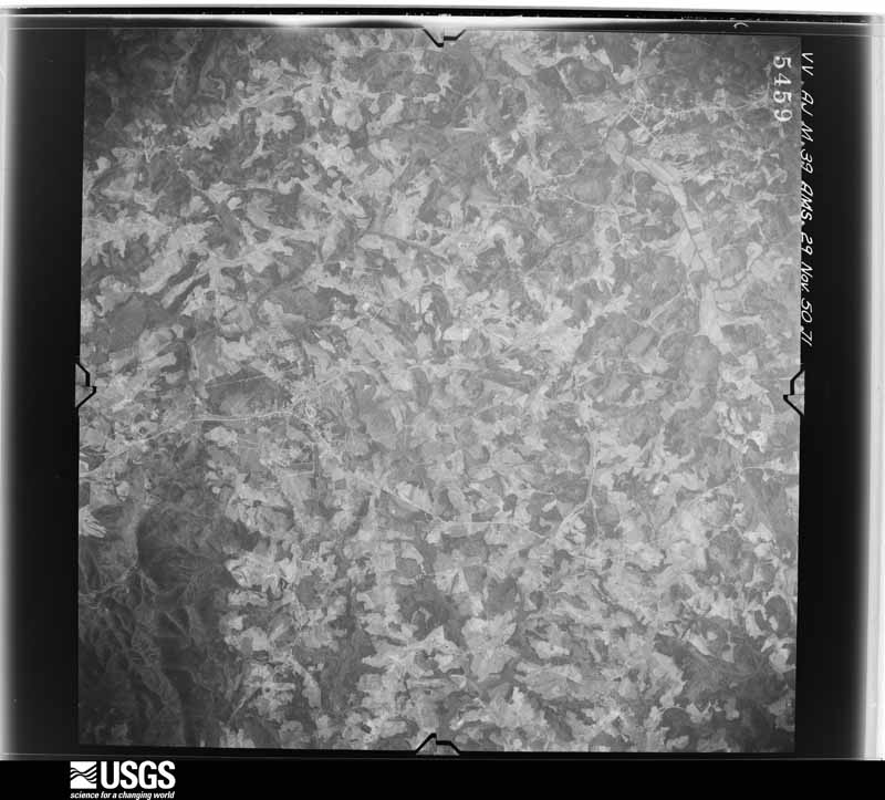
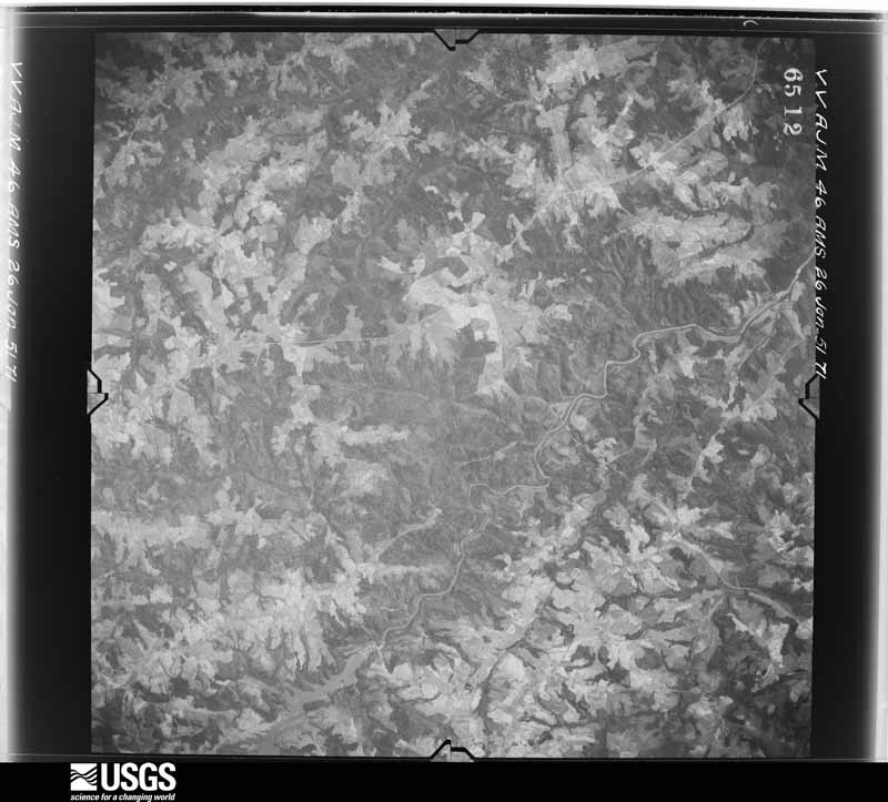
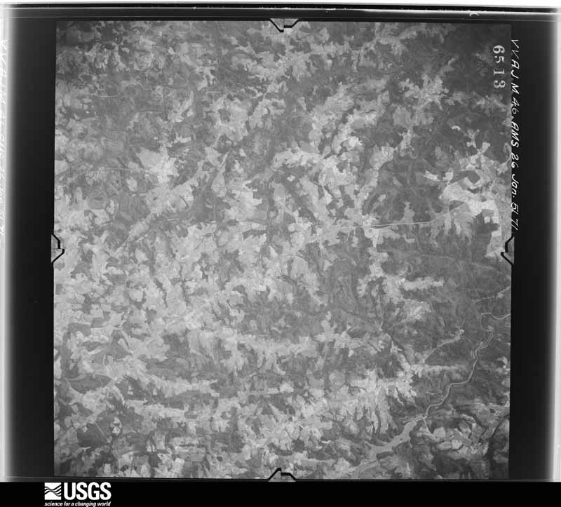
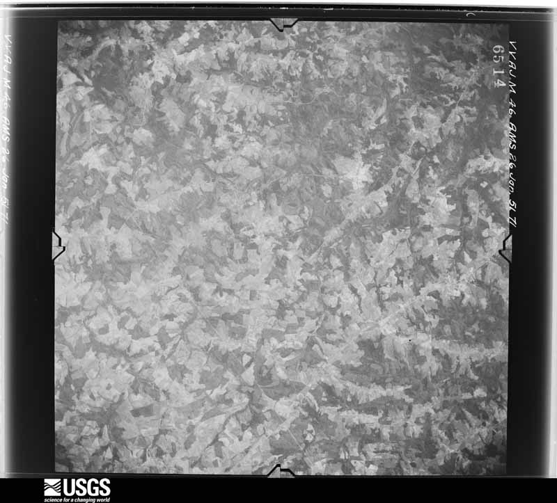
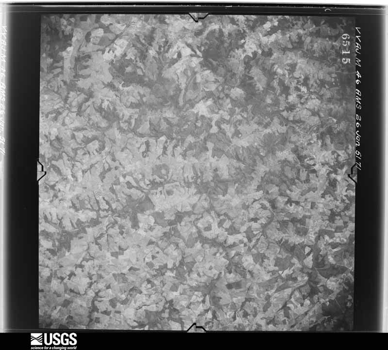
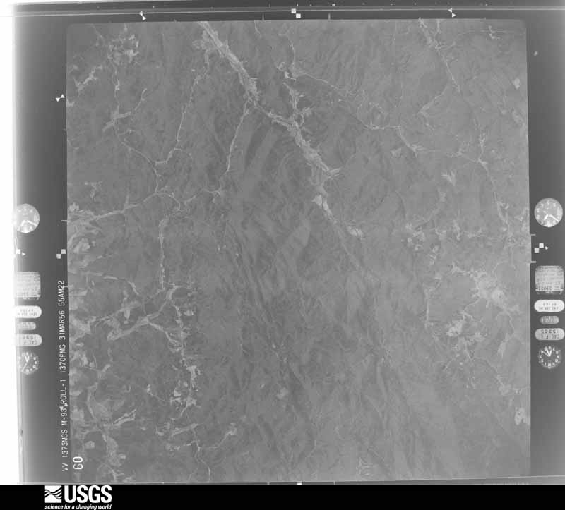
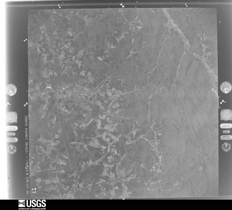
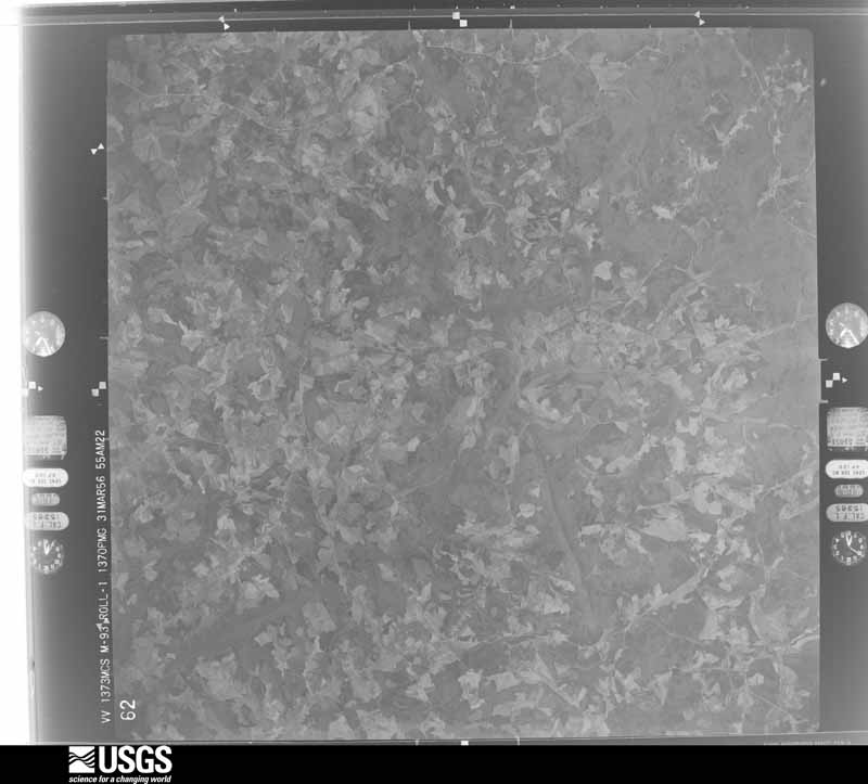
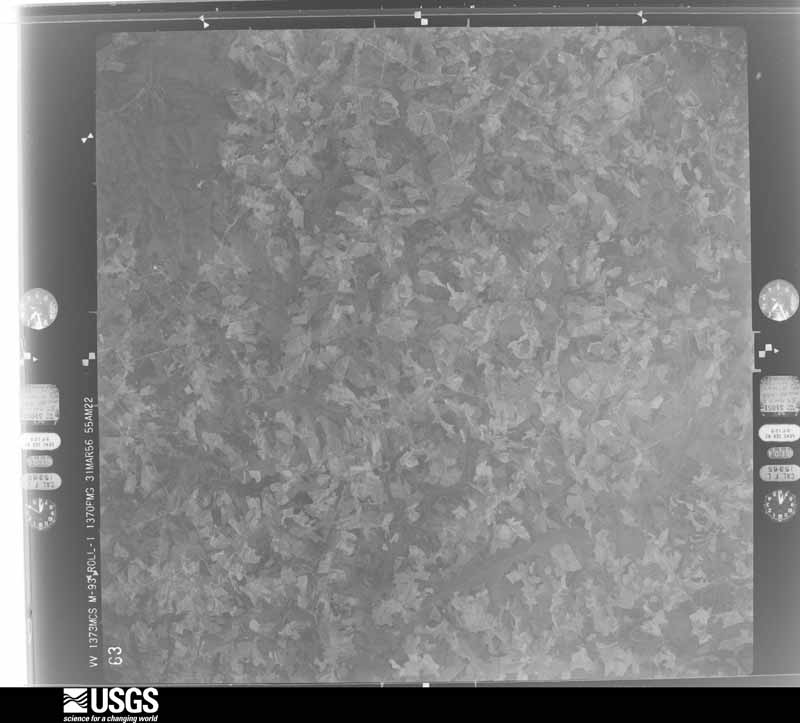
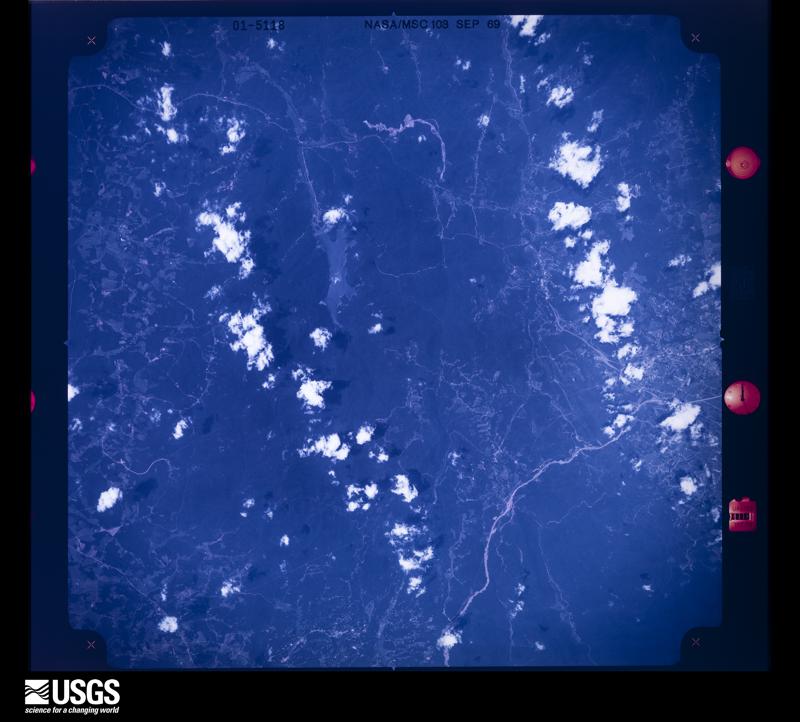
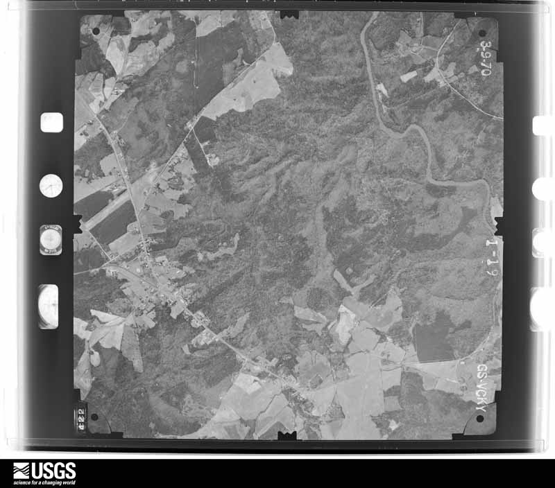
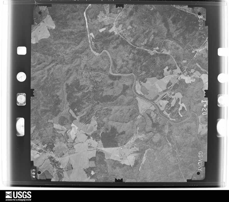
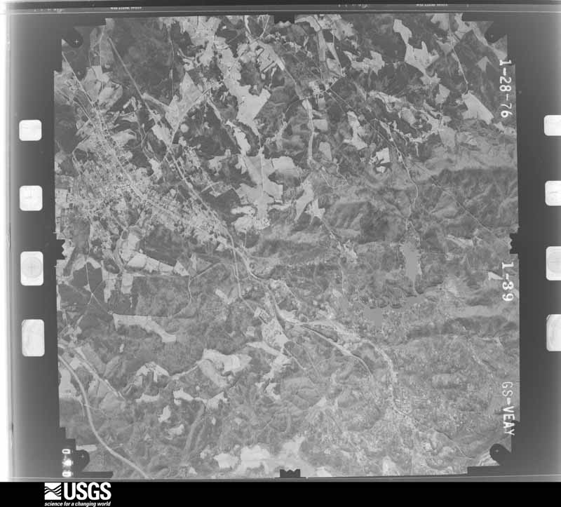
Flown by the U.S. Geological Survey between 1937 and 1989, the Aerial Photo Single Frames collection is the definitive mid-century view of the land: fields, roads and rivers as the camera saw them. The Survey holds 1,475 frames inside the rectangle that bounds this county; the 43 frames below were taken over the county itself, chosen across the decades of flights (at most four a year from that rectangle), so one flight cannot crowd out the rest. The full set is free to browse and download at EarthExplorer under the dataset Aerial Photo Single Frames.
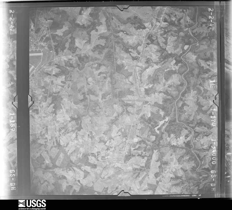
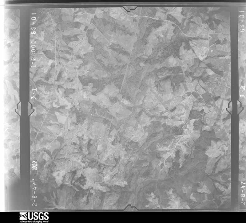
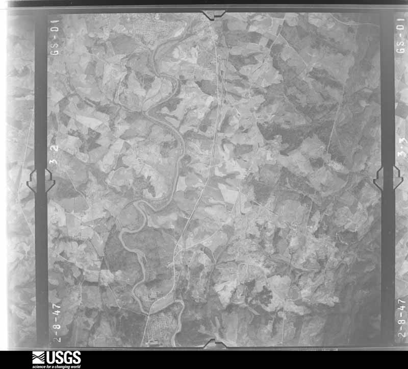
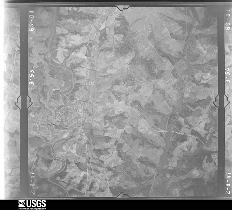
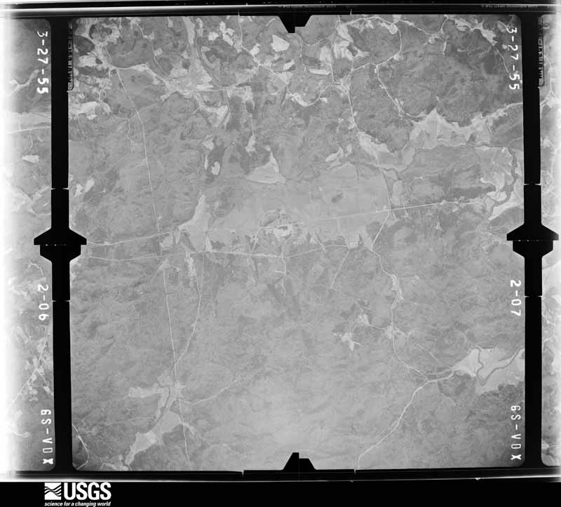
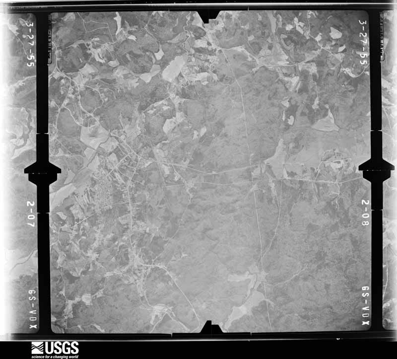
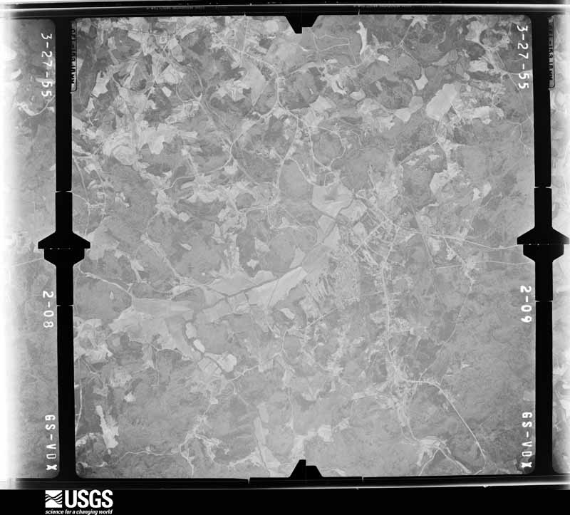
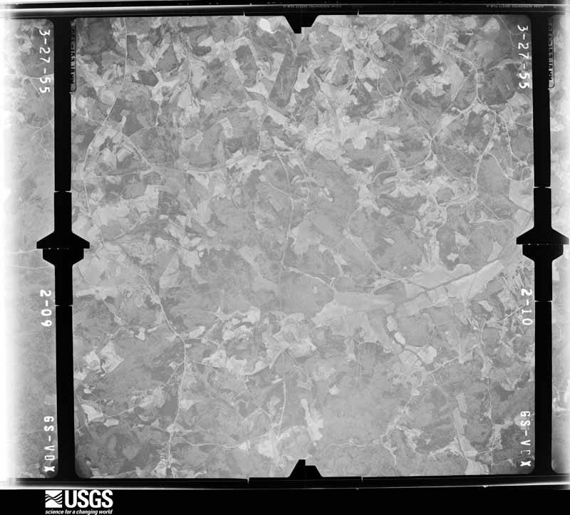
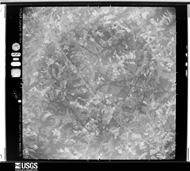
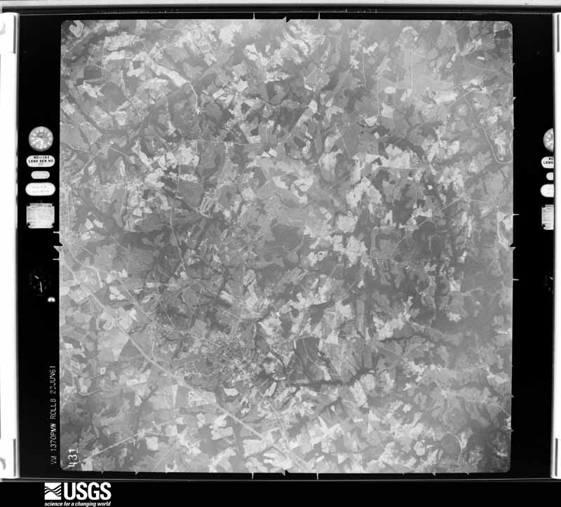
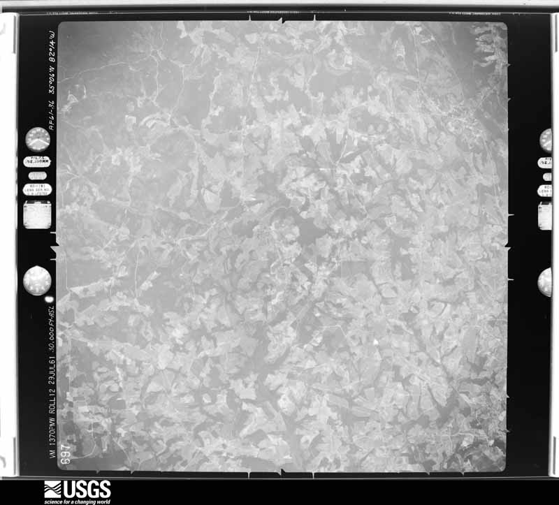
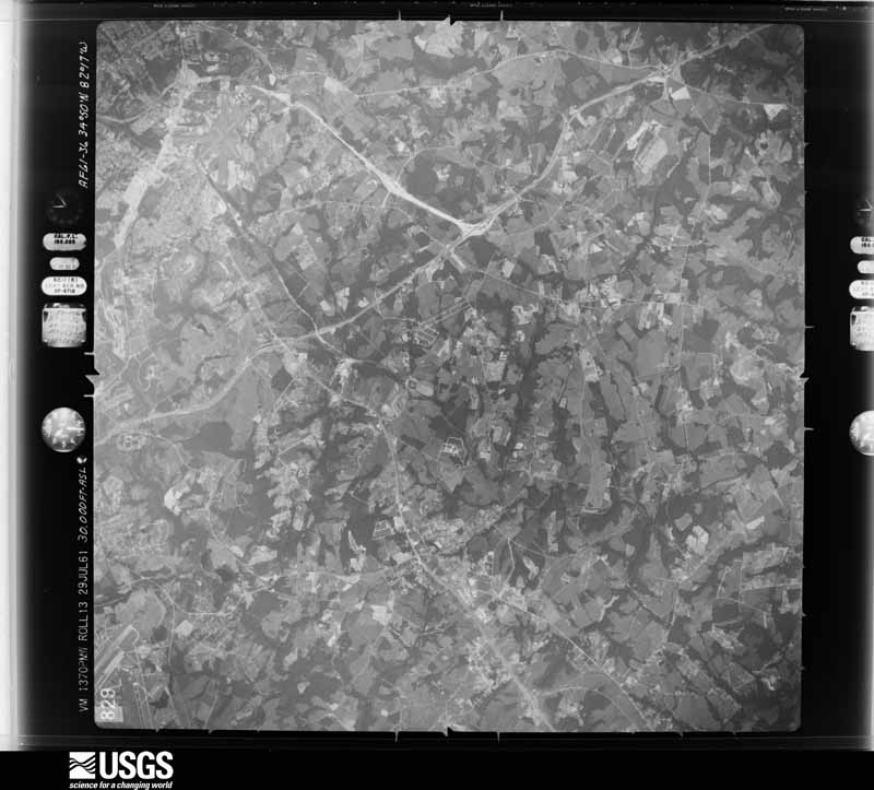
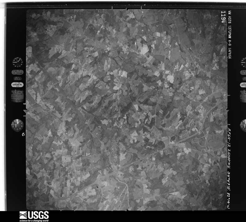
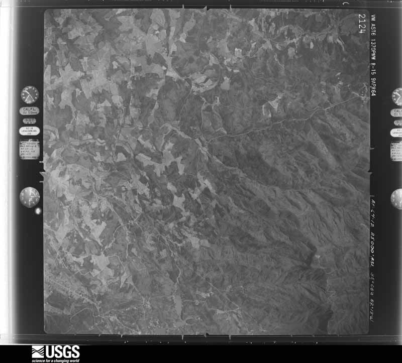
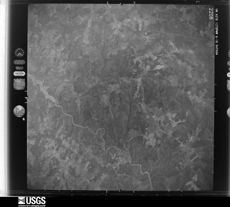
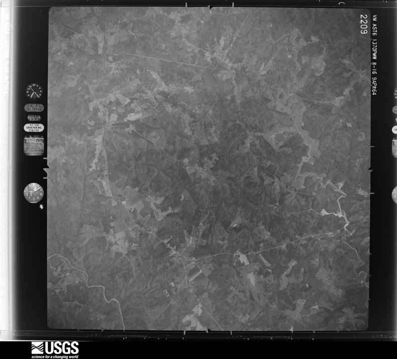



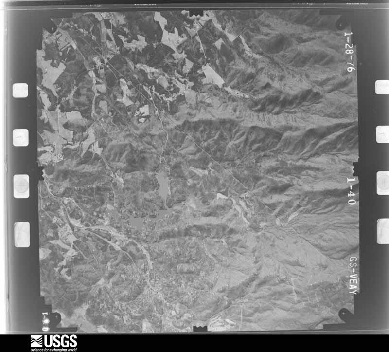
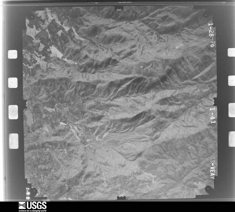
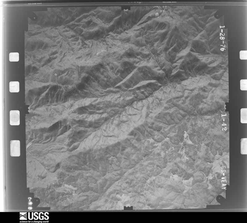
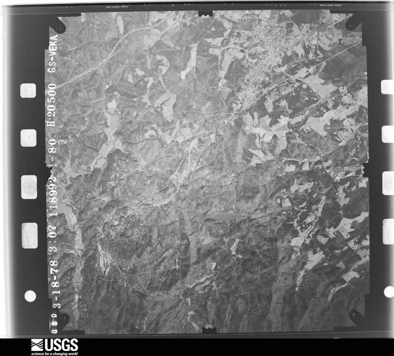
The thermometers that kept this county's weather, and the gages that measured the flow of its streams, as the federal records hold them. The extremes below are measured values from those records, not estimates.
Who lived here in 1950, one enumeration district at a time, as the Census Bureau described each district. Each row opens its official National Archives result, with Population Schedules and ED Maps available there.
Every wildfire the federal occurrence database records inside this county: 1,074 of them, burning about 4,664 acres. 20 started naturally and 108 were recorded as arson. Each settlement page carries the fires within five miles of it.
| Reported cause | Fires |
|---|---|
| Missing data/not specified/undetermined | 417 |
| Debris and open burning | 311 |
| Arson/incendiarism | 108 |
| Equipment and vehicle use | 72 |
| Misuse of fire by a minor | 70 |
| Recreation and ceremony | 32 |
| Natural | 20 |
| Smoking | 18 |
| Other causes | 10 |
| Power generation/transmission/distribution | 8 |
| Railroad operations and maintenance | 6 |
| Fireworks | 2 |
The five largest, by the area the report gives. None of them was recorded as arson.
| Date | Cause | Size | Reported by | Name on the report |
|---|---|---|---|---|
| 21 February 2009 | Recreation and ceremony | 351 acres | South Carolina Forestry Commission | HOSPITAL ROCK TRAIL |
| 30 December 2000 | Missing data/not specified/undetermined | 200 acres | South Carolina Forestry Commission | not named |
| 16 April 1996 | Missing data/not specified/undetermined | 80 acres | South Carolina Forestry Commission | not named |
| 18 March 1994 | Missing data/not specified/undetermined | 67 acres | South Carolina Forestry Commission | not named |
| 7 June 2000 | Equipment and vehicle use | 65 acres | South Carolina Forestry Commission | not named |
| 4 August 2017 | Debris and open burning | 65 acres | South Carolina Forestry Commission | not named |
| 7 June 2000 | Natural | 65 acres | South Carolina Forestry Commission | not named |
| 10 June 2006 | Debris and open burning | 50 acres | South Carolina Forestry Commission | not named |
Every settlement page carries the fires within five miles of it - see the settlement index below.
The NOAA Storm Events Database holds 1,179 reports for this county, causing 5 deaths, 43 injuries and about $32,620,120 in recorded property damage. Each settlement page carries the reports that name it.
| Kind of event | Reports |
|---|---|
| Thunderstorm Wind | 577 |
| Hail | 429 |
| Flash Flood | 84 |
| Tornado | 37 |
| Flood | 20 |
| Heavy Rain | 16 |
| Lightning | 13 |
| Funnel Cloud | 2 |
| Dust Devil | 1 |
The most serious of them, by death, then injury, then recorded damage. The accounts are quoted exactly as the forecast office filed them.
| When | Event | Place named | Harm | What the report says |
|---|---|---|---|---|
| August 2014 | Flash Flood | Brandon | 2 killed, $1,500,000 | Three to six inches of rain falling in a couple of hours caused an extreme urban flash flood and stream flooding event in the Greenville metro area. The flooding initially began on the east side of the city in the Haywood Rd/downtown airport area, where several cars were stalled in deep, rushing water due to an overflowing culvert on Byrdland Dr (3 E Downtown). A 39-year-old man and 36-year-old woman who abandoned their vehicles to seek higher ground drowned after being swept into the fast-moving water and nearby culvert which drained into Laurel Creek. A tributary of Richland Creek flooded several dozen apartment homes along Villa Rd between Pleasantburg Dr and Pelham Rd (2.5 ENE Downtown). The most severe flooding occurred on the east side of downtown, near the Stone Ave/I-385 intersection, due to a combination of Richland Creek overflowing its banks by several feet and major urban flooding. Multiple vehicles were stalled in high water in this area. The high water caused a gas leak and explosion at a restaurant on Stone Ave, causing significant damage to the exterior of the building. Richland Creek and the Reedy River overflowed their banks and flooded much of Cleveland Park, which remained closed for two days. This was the worst flooding along this portion of the Reedy in almost 10 years. Additionally, a small tributary of Langston Creek flooded the intersection of Langston Dr and Highway 276 (3 NNW Downtown). Finally, Rocky Creek, or a culvert draining into Rocky Creek overflowed along I-85 near the Pelham Rd exit (7 E Downtown), sending water over the southbound lane and forcing closure of the interstate for several hours. |
| March 1996 | Thunderstorm Wind | Greer | 1 killed, 3 hurt, $100,000 | no account filed |
| August 2006 | Thunderstorm Wind | Greenville | 1 killed | A large oak tree was blown down at Roper Mountain Rd and Blacks Dr. The tree fell on a moving vehicle, killing the 39-year-old man who was driving. Another tree was blown down on I-385. |
| June 1991 | Thunderstorm Wind | not stated | 1 killed | no account filed |
| May 1973 | Tornado (F3) | not stated | 17 hurt, $2,500,000 | no account filed |
| March 1975 | Tornado (F1) | not stated | 5 hurt, $250,000 | no account filed |
| April 1990 | Thunderstorm Wind | not stated | 4 hurt | no account filed |
| May 1998 | Thunderstorm Wind | Taylors | 3 hurt | no account filed |
| July 1984 | Thunderstorm Wind | not stated | 3 hurt | no account filed |
| March 1979 | Tornado (F2) | not stated | 2 hurt, $2,500,000 | no account filed |
| May 2000 | Thunderstorm Wind | Taylors | 2 hurt | no account filed |
| May 2018 | Lightning | River Falls | 1 hurt | Newspaper reported a woman was injured by a lightning strike on Ymca Camp Rd. |
| June 2011 | Thunderstorm Wind | Five Forks | 1 hurt | Several trees were blown down on Scuffletown Rd. One tree crushed a recreational vehicle, injuring an occupant. |
| May 2003 | Hail | Greenville | 1 hurt | A person received a minor head injury when he was struck by wind driven hail. |
| July 1994 | Hail | Greenville | 1 hurt | Lightning struck man who went into yard to collect hail during a thunderstorm. |
| April 2020 | Tornado (EF2) | Park Place | $5,000,000 | NWS storm survey found the path of an EF2 tornado across the north side of Greenville, beginning just east of Cherrydale Point and moving east/southeast across Pleasantburg Dr, Rutherford Rd, and Wade Hampton Blvd, then crossing through a residential area between Wade Hampton Blvd and E North St before lifting. Roofs were blown off a hotel and restaurant on Rutherford Rd and several other businesses received minor to moderate roof damage along Wade Hampton Blvd. Otherwise numerous hardwoods were snapped and some partially debarked. Several homes and multiple vehicles were damaged by falling trees. |
| July 2004 | Flash Flood | Greenville | $3,500,000 | A thunderstorm developed over the headwaters of the Reedy River during the morning, then remained nearly stationary for several hours, producing rainfall of 4 to 9 inches in approximately 4 hours. This resulted in major flooding in areas from Berea to downtown Greenville. The Reedy River reached 19.2 feet in downtown Greenville, the second highest level on record. Several businesses along the river in downtown incurred major damage, as did numerous homes in the Berea and Sans Souci areas. At least 30 homes were condemned. Numerous roads and bridges were damaged or washed out. Hundreds of vehicles were damaged or destroyed. Flooding was much less severe on the east side of the metro area, although the Enoree River and several of its tributaries, including Brushy Creek, did overflow their banks. |
| April 1989 | Tornado (F2) | not stated | $2,500,000 | no account filed |
| April 1980 | Tornado (F2) | not stated | $2,500,000 | no account filed |
| September 2024 | Flash Flood | Furman University | $1,000,000 | Stream gauges and emergency management reported significant flash flooding developed along all major river basins in central Greenville County after 8-15 inches of rain fell across the foothills in three days, with 1.5 to 2.5 inches of that falling in less than three hours on the morning of the 27th. Flash flooding developed along the Saluda River, with the stream gauge in west Greenville reaching major flood stage, indicating multiple roads and some structures were inundated, including on Riverview Circle. Moderate flooding developed along the Reedy River through the city of Greenville, with extensive flooding of the greenway from Unity Park downstream to Cleveland Park and inundation of multiple roads, including Hudson St, which was damaged and closed for months. Brushy Creek overflowed its banks on the eastside of Greenville and inundated multiple roads, including Edwards Rd, where water entered several homes and Devenger Rd. Significant flooding developed along the Enoree River, with a gauge on the river at Pelham reaching its highest level since August 1995 (Tropical Cyclone Jerry). Inundated roads along the river included Gibbs Shoals Rd. |
| February 2020 | Flood | Greer | $1,000,000 | Although rainfall rates steadily decreased across Greenville County through the evening hours flooding persisted within the Saluda Enoree and Reedy River basins well into the overnight hours. Major flooding developed along the Saluda River during this time from west Greenville to Piedmont to West Pelzer with water inundating several homes and numerous roads flooded. This was the most significant flooding along that portion of the Saluda since October 1964, while Reedy River flooding in the Greenville area was the worst since September 2004. Flooding ended in most areas during the pre-dawn hours of the 7th although river flooding persisted along the Saluda River through the evening of the 7th. |
| February 2020 | Flash Flood | Croswell | $800,000 | Flash flooding became more concentrated in the Greenville metro area and vicinity during the late afternoon and evening while also worsening in magnitude. This included both the Reedy River, where moderate flooding developed, as well as main stem river flash flooding along the Saluda River in the west Greenville area. Flash flooding also peaked along the Enoree River and its major tributaries during this time, including Brushy Creek and Gilder Creek. Numerous roads and some structures were inundated. |
| November 2016 | Tornado (EF1) | Woodville | $500,000 | This tornado touched down in the vicinity of Sandy Springs Rd, just north of the Preston Rd intersection and tracked east/northeast along an intermittent path. Initial damage was limited to downed large limbs and trees, although some greenhouses were damaged to Woodmont High School (intersection of W Georgia Rd and Reedy Fork Rd. The most significant damage, rated EF1 occurred along a 2.5 mile stretch from near the Fork Shoals Rd/W Georgia Rd intersection, along W Georgia Rd to just outside the city limits of Simpsonville. A garage attached to a frame home collapsed near the intersection of W Georgia Rd and Sullivan Rd. Two frame homes near the intersection of Rivereen Way and Riverchase Ct, and three houses on Leafmore Ct had large sections of roofing removed, as did a home on Plamondon Dr. A house on Glenbow Ct had one side of the exterior wall of its second story and attic removed. At least a dozen additional houses and mobile homes received mostly minor roof damage in this area. The tornado appeared to weaken as it moved into the city of Simpsonville, although numerous large trees were uprooted and large limbs downed across the city. One tree fell on a carport. The tornado continued east/northeast from Simpsonville, roughly paralleling E Georgia Rd. Numerous trees and large limbs were blown down east of the city, while minor structural damage to homes and outbuildings was reported. The tornado crossed into Spartanburg County near the confluence of Gilder Creek with the Enoree River. |
| July 2013 | Flash Flood | Conestee | $500,000 | Guilder Creek flooded East Butler Road to a depth of about 3 feet. One car was caught in the flooding and the occupant had to be rescued. A mobile home park on Old Mill Road was flooded and the residents evacuated. Corn Road next to Mauldin High was flooded at the bridge. The bridge was damaged, closing the road for several weeks. At least 8 homes suffered significant flood damage in Mauldin. Ashemore Bridge Road was flooded and impassable about a mile southwest of Mauldin. |
| July 2008 | Thunderstorm Wind | Tigerville | $500,000 | A microburst caused major roof damage to a building on the campus of North Greenville College. The portion of roof that was removed was thrown on to the roof of another building, causing additional damage. |
| July 1994 | Hail | Tigerville | $500,000 | no account filed |
| July 1994 | Thunderstorm Wind | Tigerville | $500,000 | no account filed |
| June 2000 | Lightning | Greenville | $400,000 | no account filed |
| March 1996 | Thunderstorm Wind | Travelers Rest | $400,000 | no account filed |
| July 2023 | Lightning | Highland | $300,000 | Media reported lightning caused a structure fire that destroyed a church at Camp Creek Rd and North Blue Ridge Dr. |
| July 2005 | Flash Flood | Countywide | $300,000 | Flooding first developed along the Reedy River in downtown Greenville and Brushy Creek. The county reported severe urban flooding in Greer around the same time. 100 Residents of an apartment complex in Greer had to be rescued when the parking lot flooded after Maple Creek overflowed its banks. In addition, Maple Creek flooded about 6 homes at a trailer park and several other homes along Maple Creek were flooded with as much as 6 feet of water. 15 people were evacuated from a mobile home park in Mauldin. Several homes were flooded in Del Norte, and at least 1 family was rescued. (one 16 year resident said it was the 2nd worse flooding event since he moved there.) Gilder Creek was flooding Holland Rd in Simpsonville by 10 AM. Over 25 roads were closed across the county due to flooding, with at least 6 roads damaged. |
| August 2003 | Thunderstorm Wind | Greenville Downtown | $300,000 | A microburst caused damage to 12 airplanes and 3 hangars at Greenville Municipal Airport. One plane was blown about 300 feet into the side of a hangar, causing the plane to break in half. Three single-engine planes were flipped over. A concrete block wall was also blown over. |
| June 2020 | Thunderstorm Wind | East Gantt | $250,000 | Emergency manager and NWS employee reported numerous trees blown down in the area centered around the Greenville Country Club. Multiple homes were damaged by fallen trees. |
| November 2002 | Tornado (F1) | Simpsonville | $250,000 | This tornado touched down in the Westwood subdivision, where widespread tree damage and some minor structural damage occurred. More light structural damage and heavy tree damage occurred as the tornado passed through the Hunters Wood subdivision. In the I-385/Fairview Road area, the roof of a hotel received extensive damage, and 2 tractor trailers were blown over. The tornado damaged or destroyed outbuildings, fences, and a scoreboard at Bryson Middle School, then produced more extensive tree damage in the Bryson Elementary area before lifting. |
| February 1990 | Tornado (F0) | not stated | $250,000 | no account filed |
| August 2023 | Thunderstorm Wind | Judson | $200,000 | Emergency manager and Nws employee reported numerous trees and large limbs blown down from the Alta Vista neighborhood through the Parkins Mill neighborhood. At least one tree fell on a house on McDaniel Ave. An outbuilding was also blown over on Mauldin Rd. |
| May 2020 | Flash Flood | White Horse | $200,000 | Stream gauges, emergency management, and local law enforcement reported flash flooding developed across central and portions of northern Greenville county after a total of 5 to 6 inches fell across the area in about 24 hours. The most significant flooding was observed along the Reedy River watershed in the Greenville area, where stream gauges on the river quickly rose to the established moderate flood stage during the morning of the 20th. Inundation of Westfield St and Hudson St occurred, while portions of the Swamp Rabbit trail and Cleveland Park were also flooded. The Enoree River and one of its major tributaries, Brushy Creek were also impacted on the east side and Greer areas, flooding portions of Aiken Chapel Rd, Gibbs Shoals Rd among other roads and low lying areas. Other roads in the area were washed out or flooded by smaller streams or due to poor drainage, including Keith Dr in the city of Greenville, Rison Rd and Gethsemane Dr on the west side of Greenville, Bull Rd and Forrester Rd in the Blue Ridge area. |
| February 2020 | Flash Flood | River Falls | $200,000 | Stream gauges reported widespread flash flooding occurred along all major watersheds in Greenville County, including the Saluda, Reedy, and Enoree basins, after 5 to 8 inches of rain fell across northern and central portions of the county in about 18 hours. More than half of that rain fell in less than six hours during the morning of the 6th. Flooding first developed along the North Saluda River, with a gauge on Highway 11 exceeding flood stage and indicating inundation of Old Settlement Rd and low-lying areas near Bates Bridge Rd. The Reedy River flooded through downtown Greenville, inundating Cleveland Park, adjacent portions of the Swamp Rabbit Trail, as well as Hudson St and Westfield St. Around 30 people had to be rescued from businesses in Berea due to flooding along the Reedy. The Enoree River and a couple of its tributaries, including Brushy Creek, Rocky Creek, and Gilder Creek flooded in the Greer, Pelham, and Five Forks/Simpsonville areas, inundating several roads, including Gibb Shoals Rd, East Georgia Rd, and low lying areas adjacent to Highway 417 near the Spartanburg County line. |
| August 2014 | Flash Flood | Cherokee Forest | $200,000 | A major flash flood event developed in the Greer and Taylors area when 3 to 6 inches of rain fell in only a couple of hours. The primary problem area was Brushy Creek, which produced its worst flooding in recent history. A stream gauge on Brushy Creek between Hudson Rd and East North St reached its highest level (13.4 ft) since August 1995 (Tropical Storm Jerry). Water entered multiple residences along Edwards Rd in Taylors. Brushy Creek also flooded portions of Boiling Springs Rd and adjacent side streets. In addition, a small tributary washed out a bridge on Memorial Dr Ext near Tryon St (1.5 NW Greer). Two vehicles drove into the resulting hole and each driver received minor injuries. Other small tributaries overflowed their banks throughout the Greer and Taylors area, flooding roads and some homes. |
| July 2009 | Lightning | Batesville | $200,000 | Lightning ignited a fire at an apartment building near Roper Mountain Rd and I-85, causing extensive damage to 16 units. |
| September 2024 | Thunderstorm Wind | Judson | $150,000 | NWS employees and emergency management reported numerous trees blown down throughout the city of Greenville, with multiple trees down on homes. |
| April 2019 | Tornado (EF1) | Fellowship Xrds | $150,000 | NWS storm survey found a tornado damage path that began approximately one-half mile east of W. Georgia Rd. near Brittle Creek Ln., Plum Hill Way, and Frostweed Ct., where homes sustained minor shingle, gutter, and siding damage. The tornado tracked northeast into new subdivisions off of Barker Rd. where additional damage to roofs and siding occurred. The intermittent damage path extended across Neely Ferry Rd., with damage indicators intensifying in the Alder Park area. Dozens of large diameter trees were uprooted and large branches and trunks were snapped. One tree fell on a home and a trampoline was lifted hundreds of feet into the park from an adjacent home. Little to no damage was observed as the tornado track continued northeast across I-385, but additional damage was noted near Richardson St. and Main St., where additional trees were damaged and a garage completely collapsed on top of three vehicles inside. The tornado reached its maximum width of approximately 100 yards from Main St/Highway 14 to Poinsettia Dr. to E Curtis St., where a large tree was uprooted and fell on a home. As the tornado track continued northeast paralleling E. Georgia Rd., the intensity decreased and damage became more intermittent, with additional minor damage to homes and trees. The tornado strengthened one final time near the intersection of Lee Vaughn Rd. and Moorgate Dr. where uplift of a house roof deck occurred, resulting in significant loss of roofing material and insulation. Overall, along the entire path hundreds of trees were either uprooted, had severed trunks, or had snapped branches. A few homes sustained significant damage either due to fallen trees or structural loss. This tornado followed a similar path to an EF1 tornado that affected the Simpsonville area in November 2016, although the path of this tornado was shorter. The path of these two tornadoes apparently intersected along East Georgia Rd east of Simpsonville. |
| July 2004 | Thunderstorm Wind | Mauldin | $150,000 | Hundreds of trees were blown down, many onto homes and power lines. |
| July 2000 | Thunderstorm Wind | Donaldson Afb | $130,000 | no account filed |
| August 2024 | Flash Flood | Jordon | $100,000 | Media reported flash flooding developed across the north side of Greer after after 2.5 to 4 inches of rain fell in just a couple of hours. A tributary of the Tyger River overflowed its banks, with water inundating roads of a subdivision, submerging vehicles and entering the lowest floor of some homes. |
| September 2024 | Flood | Croswell | $100,000 | Although heavy rain ended across Greenville County by early afternoon, flooding continued to impact the Reedy, Saluda, and Enoree basins as water from very heavy rainfall continue to funnel its way downstream through the watersheds. Reedy River flooding eventually worked its way down to the far southern part of the county, resulting in inundation of Dunklin Bridge Rd. |
| July 2023 | Thunderstorm Wind | Judson | $100,000 | Multiple sources reported multiple trees and power lines blown down from the Welcome and Berea communities, across the city of Greenville, to the Eastside and Taylors area. Trees fell on multiple structures and at least one vehicle. |
| August 2023 | Thunderstorm Wind | Cherokee Forest | $100,000 | NWS employee reported numerous trees and large limbs blown down in Taylors abnd vicinity. At Least one tree fell on a house in Taylors and in Greer. |
| August 2021 | Tornado (EF1) | Mauldin | $100,000 | NWS storm survey confirmed a low-end EF1 tornado in Mauldin. The tornado touched down near the intersection of Brooks Rd and Highway 276, crossing Highway 276 shortly after touchdown, moving north-northwest roughly paralleling the highway for over two miles before lifting near the intersection of Old Mill Rd and Forrester Dr. Damage was primarily limited to multiple uprooted large hardwoods and some snapped small softwood trees. However, minor damage to roofs and some siding damage was noted to several structures, primarily between Miller Rd and Forrester Dr. |
| April 2020 | Tornado (EF2) | Blythe Shoals | $100,000 | NWS Storm Survey determined an EF2 that began in Pickens County moved into Greenville County near Highway 288. The most significant damage was found along the banks of the Saluda River, where one mobile home was rolled and several large hardwood trees snapped. The tornado weakened from there and additional damage was limited to snapped hardwoods as the tornado crossed Marked Beech Rd before lifting in the vicinity of Sakanaga Trace. |
| September 2015 | Thunderstorm Wind | Woodside | $100,000 | Newspaper reported multiple trees blown down throughout the city of Greenville. One tree fell on a home on Webster Ave, causing significant damage. Another tree fell across I-385 near Stone Ave, blocking traffic for some time. A wind gust of 59 mph (51 knots) was also measured by the ASOS at the Greenville Downtown airport. |
| August 2003 | Lightning | Taylors | $100,000 | no account filed |
| July 1997 | Flash Flood | Greenville | $100,000 | no account filed |
| October 1995 | Tornado (F0) | Simpsonville | $75,000 | A tornado developed from an intense rain band associated with Opal. A number of trees and power lines were blown down onto vehicles and structures. A couple of campers and a boat were destroyed and some minor damage was reported to homes. |
| September 2024 | Flash Flood | River Falls | $50,000 | Stream gauges indicated flash flooding developed over the headwaters of the Saluda River basin after 15-20 inches of rain, with locally higher amounts fell across the area over three days, with 1.5 to 3 inches of that falling in less than three hours on the morning of the 27th. The Middle Saluda and smaller tributaries overflowed their banks in the River Falls community, inundating portions of River Falls Rd, Devils Fork Rd, Oil Camp Rd, and Gap Creek Rd, where a house was inundated. Additionally, the North Saluda overflowed onto Old Settlement Rd near Highway 11 and inundated a farm off Bates Bridge Rd. |
| June 2022 | Thunderstorm Wind | Brandon | $50,000 | NWS employee reported a few trees uprooted, numerous large tree limbs snapped, and some power lines blown down, and minor structural damage along the Augusta St corridor in south Greenville. |
| May 2017 | Thunderstorm Wind | Mauldin | $50,000 | NWS employee reported two uprooted trees, damaged and removed siding, and a blown-down fence in a subdivision off of East Butler Rd near Mauldin High School. |
| October 2017 | Tornado (EF1) | Gowensville | $50,000 | NWS storm survey found an area of tornado damage in the Lake Lanier area in extreme norteast Greenville County. Tornado impacted the Lake Lanier area. The tornado initially touched down about a half mile south of the lake, blowing down numerous trees, causing mostly minor structural damage to homes and damaging multiple outbuildings, although one home did have a large part of its roof removed. Some trees fell on structures and vehicles. The tornado moved almost due north to the lake, with additional damage noted on both shores. No further damage was found north of the lake in South Carolina. |
| June 2016 | Flash Flood | Greenville Downtown | $50,000 | Media reported flash flooding of urban areas and small streams developed in a small area on Greenville Eastside after as much as 5 inches of rain fell in less than 2 hours. 4.55 inches were measured at the Greenville Downtown Airport, which was very close to the most significant flooding. Several cars were partially submerged on the 300 block of Pleasantburg Dr, with several occupants rescued by patrons from nearby businesses. Flooding also developed near the intersection of Airport Rd and Haywood Rd, likely due to Laurel Creek overflowing its banks. Several cars were stalled in water of at least a foot in depth in this area. |
| August 2014 | Flood | Brandon | $50,000 | Although the torrential rainfall ended across the Greenville area by midnight, flooding continued in the Reedy River basin near downtown through the night. The stream gauge near Westfield St did not fall below the established flood stage until late morning on the 11th. The main impact was to Cleveland Park, which remained closed due to damage for two days after the flood water receded. |
The Survey's mineral resources record lists 50 workings inside this county. 6 still produce and 44 are closed or unrecorded. Each settlement page carries the workings within five miles of it.
| Commodity | Workings |
|---|---|
| Gold | 13 |
| Mica | 12 |
| Sand and Gravel, Construction | 8 |
| Iron, Titanium, Thorium | 3 |
| Kyanite | 3 |
| Stone, Crushed/Broken, Granite | 2 |
| Granite, Stone, Crushed/Broken | 2 |
| Stone, Crushed/Broken | 2 |
| Iron, Thorium, Titanium | 1 |
| Zirconium | 1 |
| Iron | 1 |
| Aluminum | 1 |
| Kaolin | 1 |
| Vermiculite | 1 |
The least common of them first, because a county's hundredth gravel pit says nothing its first ten did not.
| Where | Site | Commodity | Status | Recorded |
|---|---|---|---|---|
| Clark-Tyger Sand Mine | Sand | Unknown | Sedimentary | |
| Edgcomb Steel--Greenville, S.C. | Iron, Aluminum | Producer | ||
| Placer Prospect 9-P | Iron, Thorium, Titanium | Unknown | Placer , Modern , Fluvial | |
| Tiger | Vermiculite | Unknown | Metamorphosed Igneous Intrusion | |
| Tigerville Prospect | Zirconium | Occurrence | ||
| Willimon Mine | Mica, Kaolin | Past Producer | ||
| Lakeside Quarry | Stone, Crushed/Broken, Granite | Producer | Metamorphic | |
| Sandy Flat Quarry | Granite, Stone, Crushed/Broken | Producer | Metamorphic | |
| Sandy Flats Quarry | Stone, Crushed/Broken | Producer | ||
| Unnamed Crushed Stone Quarry | Stone, Crushed/Broken, Granite | Unknown | Metamorphic | |
| Unnamed Crushed Stone Quarry | Granite, Stone, Crushed/Broken | Past Producer | Metamorphic | |
| Vulcan Materials Co. S. Quarry | Stone, Crushed/Broken | Past Producer | ||
| Beam Sillimanite Prospect | Kyanite | Prospect | ||
| Beam Sillimanite Prospect | Kyanite | Unknown | Metamorphic | |
| Charles Brooks | Iron, Titanium, Thorium | Unknown | Placer , Modern , Fluvial | |
| Gillard Creek | Iron, Titanium, Thorium | Unknown | Placer , Modern , Fluvial | |
| Pearson and Scott Sillimanite Prspt | Kyanite | Prospect | ||
| Waldrop | Iron, Titanium, Thorium | Unknown | Placer , Modern , Fluvial | |
| Cooper Sand Co. Piedmont Mine | Sand and Gravel, Construction | Past Producer | ||
| Delzer Dredge | Sand and Gravel, Construction | Past Producer | ||
| Farrs Bridge Road Dredge | Sand and Gravel, Construction | Producer | ||
| Greenville Mine | Sand and Gravel, Construction | Producer | ||
| Hendrix Pit | Sand and Gravel, Construction | Unknown | Sedimentary | |
| Hendrix Pit | Sand and Gravel, Construction | Past Producer | ||
| Piedmont Mine | Sand and Gravel, Construction | Unknown | Sedimentary | |
| Rester Mine | Sand and Gravel, Construction | Past Producer | Sedimentary | |
| Barnett & Simmons Deposits | Mica | Occurrence | ||
| Boling Mine | Mica | Past Producer | Pegmatite | |
| Boling Mine | Mica | Past Producer | ||
| Caesar's Head Mine | Mica | Past Producer | ||
| Coke Cooper Prospect | Mica | Prospect | ||
| Fred Cox Mine | Mica | Past Producer | ||
| Joe Darby Deposit | Mica | Occurrence | ||
| L E Stringer Prospect | Mica | Prospect | ||
| R S Berry Prospect | Mica | Prospect | ||
| W F Holloway & J J Brown Prospects | Mica | Prospect | ||
| Will Cleveland Prospect | Mica | Prospect | ||
| Briggs Prospect | Gold | Unknown | Vein | |
| Briggs Prospect | Gold | Prospect | ||
| Cureton Mine | Gold | Past Producer | 1908 | |
| Cureton Mine | Gold | Past Producer | ||
| Desota Prospect | Gold | Prospect | ||
| Desoto Prospect | Gold | Unknown | 1908 | |
| Fountain Inn Prospect | Gold | Unknown | Vein | |
| Mcbee Placer | Gold | Past Producer | 1844 | |
| Mcbee Placer | Gold | Past Producer | ||
| Westmoreland Mine | Gold | Past Producer | Vein Some Placer Work | |
| Westmoreland Mine | Gold | Past Producer | ||
| Wild Cat Mine | Gold | Unknown | Vein | |
| Wild Cat Mine | Gold | Past Producer |
Named settlements recorded in the Geographic Names Information System, each with the topographic sheets covering it. Villages, hamlets and abandoned places alike. Each is shown with the nearest named watercourse or landform and the survey quadrangle it falls on. The 2 places that were also surveyed for fire insurance come first, with the number of atlases and photographs held for them.
Greenville census division · 29601 · On Richland Creek · Greenville quadrangle
14 sheets, 1935 to 1991
Fire insurance: 12 atlases
Simpsonville census division · 29681 · Simpsonville quadrangle
10 sheets, 1954 to 1991
Fire insurance: 2 atlases
Greenville census division · 29662 · On Laurel Creek · Mauldin quadrangle
12 sheets, 1935 to 1991
Greenville census division · 29601 · On Richland Creek · Greenville quadrangle
14 sheets, 1935 to 1991
Greenville census division · 29605 · On Marrow Bone Creek · Mauldin quadrangle
12 sheets, 1935 to 1991
Greenville census division · 29607 · On Brushy Creek · Mauldin quadrangle
12 sheets, 1935 to 1991
Greenville census division · 29651 · On Brushy Creek · Pelham quadrangle
14 sheets, 1935 to 1991
Greenville census division · 29605 · On Brushy Creek · Greenville quadrangle
14 sheets, 1935 to 1991
Simpsonville census division · 29681 · On Graze Creek · Pelham quadrangle
14 sheets, 1935 to 1991
Greenville census division · 29605 · On Brushy Creek · Mauldin quadrangle
12 sheets, 1935 to 1991
Greenville census division · 29605 · On Brushy Creek · Mauldin quadrangle
12 sheets, 1935 to 1991
Greenville census division · 29617 · On Little Creek · Paris Mountain quadrangle
13 sheets, 1935 to 1991
Greenville census division · 29617 · On Little Creek · Paris Mountain quadrangle
13 sheets, 1935 to 1991
Greenville census division · 29617 · On Little Creek · Paris Mountain quadrangle
13 sheets, 1935 to 1991
Greenville census division · 29662 · On Laurel Creek · Mauldin quadrangle
12 sheets, 1935 to 1991
Highland census division · 29651 · On Stewart Branch · Tigerville quadrangle
17 sheets, 1907 to 1986
Greenville census division · 29601 · On Richland Creek · Greenville quadrangle
14 sheets, 1935 to 1991
Greenville census division · 29611 · On Long Branch · Greenville quadrangle
14 sheets, 1935 to 1991
Greenville census division · 29615 · Near Roper Mountain · Mauldin quadrangle
12 sheets, 1935 to 1991
Greenville census division · 29615 · Near Roper Mountain · Mauldin quadrangle
12 sheets, 1935 to 1991
Greenville census division · 29605 · On Brushy Creek · Greenville quadrangle
14 sheets, 1935 to 1991
Travelers Rest census division · 29690 · On North Enoree River · Paris Mountain quadrangle
13 sheets, 1935 to 1991
Greenville census division · 29609 · Near Piney Mountain · Paris Mountain quadrangle
13 sheets, 1935 to 1991
Slater-Marietta census division · 29635 · On Caesars Head Mountain · Cleveland quadrangle
15 sheets, 1905 to 1986
Simpsonville census division · 29681 · On Bridge Fork Creek · Mauldin quadrangle
12 sheets, 1935 to 1991
Taylors census division · 29650 · On Enoree Fork Branch · Taylors quadrangle
11 sheets, 1935 to 1991
Highland census division · 29651 · On Clear Creek · Taylors quadrangle
11 sheets, 1935 to 1991
Greenville census division · 29607 · On Richland Creek · Greenville quadrangle
14 sheets, 1935 to 1991
Greenville census division · 29607 · On Brushy Creek · Mauldin quadrangle
12 sheets, 1935 to 1991
Greenville census division · 29617 · On Langston Creek · Paris Mountain quadrangle
13 sheets, 1935 to 1991
Simpsonville census division · 29680 · Simpsonville quadrangle
10 sheets, 1954 to 1991
Tigerville census division · 29690 · On Posey Creek · Zirconia quadrangle
28 sheets, 1907 to 1997
Taylors census division · 29687 · On Mountain Creek · Taylors quadrangle
11 sheets, 1935 to 1991
Greenville census division · 29611 · On Long Branch · Greenville quadrangle
14 sheets, 1935 to 1991
Tigerville census division · 29635 · On Mill Creek · Cleveland quadrangle
15 sheets, 1905 to 1986
Greenville census division · 29601 · On Richland Creek · Greenville quadrangle
14 sheets, 1935 to 1991
Greenville census division · 29605 · Near University Ridge · Greenville quadrangle
14 sheets, 1935 to 1991
Greenville census division · 29607 · Near Butler Hill · Mauldin quadrangle
12 sheets, 1935 to 1991
Taylors census division · 29687 · On Cane Creek · Taylors quadrangle
11 sheets, 1935 to 1991
Greenville census division · 29605 · On Laurel Creek · Mauldin quadrangle
12 sheets, 1935 to 1991
Greenville census division · 29609 · On Little Creek · Paris Mountain quadrangle
13 sheets, 1935 to 1991
Tigerville census division · 29690 · Near Hightower Mountain · Slater quadrangle
17 sheets, 1907 to 1986
Greenville census division · 29650 · On Enoree Fork Branch · Mauldin quadrangle
12 sheets, 1935 to 1991
Greenville census division · 29617 · On Little Creek · Paris Mountain quadrangle
13 sheets, 1935 to 1991
Greer census division · 29651 · On Clear Creek · Greer quadrangle
14 sheets, 1935 to 1994
Greenville census division · 29605 · On Marrow Bone Creek · Mauldin quadrangle
12 sheets, 1935 to 1991
Greenville census division · 29615 · Near Roper Mountain · Mauldin quadrangle
12 sheets, 1935 to 1991
Greenville census division · 29605 · On Brushy Creek · Greenville quadrangle
14 sheets, 1935 to 1991
Woodville census division · 29654 · On Martin Creek · Fork Shoals quadrangle
9 sheets, 1954 to 1991
Greenville census division · 29605 · Near University Ridge · Greenville quadrangle
14 sheets, 1935 to 1991
Greenville census division · 29605 · On Marrow Bone Creek · Greenville quadrangle
14 sheets, 1935 to 1991
Greenville census division · 29607 · On Richland Creek · Mauldin quadrangle
12 sheets, 1935 to 1991
Taylors census division · 29687 · On Mountain Creek · Taylors quadrangle
11 sheets, 1935 to 1991
Greenville census division · 29611 · Greenville quadrangle
14 sheets, 1935 to 1991
Greenville census division · 29607 · On Richland Creek · Mauldin quadrangle
12 sheets, 1935 to 1991
Taylors census division · 29650 · On Cane Creek · Taylors quadrangle
11 sheets, 1935 to 1991
Greenville census division · 29605 · On Laurel Creek · Mauldin quadrangle
12 sheets, 1935 to 1991
Greenville census division · 29681 · On Graze Creek · Pelham quadrangle
14 sheets, 1935 to 1991
Greenville census division · 29609 · Near Piney Mountain · Taylors quadrangle
11 sheets, 1935 to 1991
Woodville census division · 29669 · On Little Creek · Fork Shoals quadrangle
9 sheets, 1954 to 1991
Slater-Marietta census division · 29661 · Near High Spur Knob · Zirconia quadrangle
28 sheets, 1907 to 1997
Simpsonville census division · 29681 · Fountain Inn quadrangle
8 sheets, 1954 to 1991
Greenville census division · 29609 · Near Piney Mountain · Taylors quadrangle
11 sheets, 1935 to 1991
Highland census division · 29356 · Near Tillet Mountain · Tigerville quadrangle
17 sheets, 1907 to 1986
Greenville census division · 29615 · Near Butler Hill · Mauldin quadrangle
12 sheets, 1935 to 1991
Highland census division · 29356 · On Belue Creek · Campobello quadrangle
15 sheets, 1907 to 1986
Greenville census division · 29615 · Near Butler Hill · Mauldin quadrangle
12 sheets, 1935 to 1991
Greenville census division · 29615 · Near Butler Hill · Taylors quadrangle
11 sheets, 1935 to 1991
Taylors census division · 29687 · On Cane Creek · Taylors quadrangle
11 sheets, 1935 to 1991
Taylors census division · 29687 · On Mountain Creek · Taylors quadrangle
11 sheets, 1935 to 1991
Greenville census division · 29615 · Near Butler Hill · Taylors quadrangle
11 sheets, 1935 to 1991
Greenville census division · 29617 · On Little Creek · Paris Mountain quadrangle
13 sheets, 1935 to 1991
Highland census division · 29687 · Near Pax Mountain · Tigerville quadrangle
17 sheets, 1907 to 1986
Greenville census division · 29609 · Near Piney Mountain · Paris Mountain quadrangle
13 sheets, 1935 to 1991
Greer census division · 29651 · On Clear Creek · Greer quadrangle
14 sheets, 1935 to 1994
Greenville census division · 29662 · On Bridge Fork Creek · Mauldin quadrangle
12 sheets, 1935 to 1991
Greenville census division · 29662 · On Bridge Fork Creek · Mauldin quadrangle
12 sheets, 1935 to 1991
Greenville census division · 29615 · Near Butler Hill · Mauldin quadrangle
12 sheets, 1935 to 1991
Greenville census division · 29617 · On Langston Creek · Greenville quadrangle
14 sheets, 1935 to 1991
Simpsonville census division · 29680 · Simpsonville quadrangle
10 sheets, 1954 to 1991
Greenville census division · 29615 · Near Roper Mountain · Mauldin quadrangle
12 sheets, 1935 to 1991
Greenville census division · 29615 · Near Roper Mountain · Mauldin quadrangle
12 sheets, 1935 to 1991
Greenville census division · 29617 · On Little Creek · Paris Mountain quadrangle
13 sheets, 1935 to 1991
Greenville census division · 29607 · On Richland Creek · Mauldin quadrangle
12 sheets, 1935 to 1991
Greer census division · 29651 · On Clear Creek · Taylors quadrangle
11 sheets, 1935 to 1991
Highland census division · 29651 · On Foyster Creek · Tigerville quadrangle
17 sheets, 1907 to 1986
Greenville census division · 29611 · Near University Ridge · Greenville quadrangle
14 sheets, 1935 to 1991
Greenville census division · 29607 · Near Butler Hill · Mauldin quadrangle
12 sheets, 1935 to 1991
Greer census division · 29650 · Taylors quadrangle
11 sheets, 1935 to 1991
No longer a settlement
Greenville census division · 29615 · Near Butler Hill · Mauldin quadrangle
12 sheets, 1935 to 1991
Greenville census division · 29615 · Near Butler Hill · Mauldin quadrangle
12 sheets, 1935 to 1991
Highland census division · 29356 · On Little Creek · Landrum quadrangle
16 sheets, 1907 to 1986
Greenville census division · 29609 · Near Piney Mountain · Paris Mountain quadrangle
13 sheets, 1935 to 1991
Highland census division · 29651 · On Stewart Branch · Tigerville quadrangle
17 sheets, 1907 to 1986
Greenville census division · 29615 · Near Butler Hill · Taylors quadrangle
11 sheets, 1935 to 1991
Travelers Rest census division · 29690 · Near Piney Spur · Paris Mountain quadrangle
13 sheets, 1935 to 1991
Taylors census division · 29687 · On Mountain Creek · Taylors quadrangle
11 sheets, 1935 to 1991
Greenville census division · 29605 · On Brushy Creek · Mauldin quadrangle
12 sheets, 1935 to 1991
Greenville census division · 29611 · On Long Branch · Greenville quadrangle
14 sheets, 1935 to 1991
Slater-Marietta census division · 29661 · On Talley Creek · Cleveland quadrangle
15 sheets, 1905 to 1986
Greenville census division · 29605 · On Brushy Creek · Mauldin quadrangle
12 sheets, 1935 to 1991
Tigerville census division · 29690 · On Johnson Creek · Slater quadrangle
17 sheets, 1907 to 1986
No longer a settlement
Slater-Marietta census division · 29661 · Cleveland quadrangle
15 sheets, 1905 to 1986
No longer a settlement
Woodville census division · 29627 · Fork Shoals quadrangle
9 sheets, 1954 to 1991
Greenville census division · 29615 · Near Butler Hill · Taylors quadrangle
11 sheets, 1935 to 1991
Greenville census division · 29607 · On Brushy Creek · Mauldin quadrangle
12 sheets, 1935 to 1991
Greenville census division · 29615 · Near Butler Hill · Mauldin quadrangle
12 sheets, 1935 to 1991
Tigerville census division · 29690 · Near Mill Knob · Zirconia quadrangle
28 sheets, 1907 to 1997
No longer a settlement
Taylors census division · 29651 · On Beaverdam Creek · Taylors quadrangle
11 sheets, 1935 to 1991
Highland census division · 29651 · Tigerville quadrangle
17 sheets, 1907 to 1986
No longer a settlement
Greenville census division · 29681 · On Bridge Fork Creek · Mauldin quadrangle
12 sheets, 1935 to 1991
Greenville census division · 29611 · On Langston Creek · Greenville quadrangle
14 sheets, 1935 to 1991
Greenville census division · 29617 · On Little Creek · Paris Mountain quadrangle
13 sheets, 1935 to 1991
Greenville census division · 29662 · On Bridge Fork Creek · Mauldin quadrangle
12 sheets, 1935 to 1991
Greenville census division · 29662 · On Bridge Fork Creek · Mauldin quadrangle
12 sheets, 1935 to 1991
Tigerville census division · 29687 · On Mush Creek · Tigerville quadrangle
17 sheets, 1907 to 1986
Greenville census division · 29615 · Near Roper Mountain · Mauldin quadrangle
12 sheets, 1935 to 1991
Slater-Marietta census division · 29635 · Near Bald Rock · Cleveland quadrangle
15 sheets, 1905 to 1986
Greenville census division · 29617 · On Little Creek · Paris Mountain quadrangle
13 sheets, 1935 to 1991
Greenville census division · 29601 · On Long Branch · Greenville quadrangle
14 sheets, 1935 to 1991
Greenville census division · 29617 · On Little Creek · Paris Mountain quadrangle
13 sheets, 1935 to 1991
Greenville census division · 29607 · On Richland Creek · Mauldin quadrangle
12 sheets, 1935 to 1991
Greenville census division · 29609 · Near Piney Mountain · Taylors quadrangle
11 sheets, 1935 to 1991
Greenville census division · 29615 · Near Butler Hill · Mauldin quadrangle
12 sheets, 1935 to 1991
Greenville census division · 29609 · On Richland Creek · Greenville quadrangle
14 sheets, 1935 to 1991
Greenville census division · 29609 · Near Piney Mountain · Paris Mountain quadrangle
13 sheets, 1935 to 1991
Greenville census division · 29617 · On Little Creek · Paris Mountain quadrangle
13 sheets, 1935 to 1991
Greenville census division · 29687 · On Mountain Creek · Taylors quadrangle
11 sheets, 1935 to 1991
No longer a settlement
Highland census division · 29651 · On Thompson Branch · Tigerville quadrangle
17 sheets, 1907 to 1986
Greenville census division · 29617 · On Langston Creek · Paris Mountain quadrangle
13 sheets, 1935 to 1991
Greenville census division · 29609 · Near Brissey Ridge · Taylors quadrangle
11 sheets, 1935 to 1991
Taylors census division · 29687 · On Cane Creek · Taylors quadrangle
11 sheets, 1935 to 1991
Taylors census division · 29687 · On Mountain Creek · Taylors quadrangle
11 sheets, 1935 to 1991
Greenville census division · 29687 · On Mountain Creek · Taylors quadrangle
11 sheets, 1935 to 1991
Greenville census division · 29615 · Near Butler Hill · Mauldin quadrangle
12 sheets, 1935 to 1991
Greenville census division · 29607 · On Richland Creek · Greenville quadrangle
14 sheets, 1935 to 1991
Greenville census division · 29605 · On Brushy Creek · Mauldin quadrangle
12 sheets, 1935 to 1991
Greenville census division · 29609 · Near Piney Mountain · Taylors quadrangle
11 sheets, 1935 to 1991
No longer a settlement
Greenville census division · 29609 · Near Paris Mountain · Paris Mountain quadrangle
13 sheets, 1935 to 1991
Greenville census division · 29605 · On Little Grove Creek · Greenville quadrangle
14 sheets, 1935 to 1991
Greenville census division · 29609 · On Long Branch · Greenville quadrangle
14 sheets, 1935 to 1991
Greenville census division · 29607 · On Brushy Creek · Mauldin quadrangle
12 sheets, 1935 to 1991
Greenville census division · 29609 · Near Piney Mountain · Paris Mountain quadrangle
13 sheets, 1935 to 1991
Taylors census division · 29687 · On Mountain Creek · Taylors quadrangle
11 sheets, 1935 to 1991
Simpsonville census division · 29607 · Simpsonville quadrangle
10 sheets, 1954 to 1991
Greenville census division · 29607 · Near Roper Mountain · Mauldin quadrangle
12 sheets, 1935 to 1991
Greenville census division · 29605 · Greenville quadrangle
14 sheets, 1935 to 1991
Greenville census division · 29609 · Near Piney Mountain · Taylors quadrangle
11 sheets, 1935 to 1991
Greenville census division · 29617 · On Little Creek · Paris Mountain quadrangle
13 sheets, 1935 to 1991
Taylors census division · 29687 · On Mountain Creek · Taylors quadrangle
11 sheets, 1935 to 1991
Greenville census division · 29611 · Greenville quadrangle
14 sheets, 1935 to 1991
Greenville census division · 29611 · On Long Branch · Greenville quadrangle
14 sheets, 1935 to 1991
Greenville census division · 29690 · Near Piney Spur · Paris Mountain quadrangle
13 sheets, 1935 to 1991
Greenville census division · 29650 · On Enoree Fork Branch · Mauldin quadrangle
12 sheets, 1935 to 1991
Greenville census division · 29681 · On Bridge Fork Creek · Mauldin quadrangle
12 sheets, 1935 to 1991
Greenville census division · 29617 · Paris Mountain quadrangle
13 sheets, 1935 to 1991
Slater-Marietta census division · 29661 · On Head Foremost Creek · Cleveland quadrangle
15 sheets, 1905 to 1986
Taylors census division · 29650 · On Cane Creek · Taylors quadrangle
11 sheets, 1935 to 1991
Greenville census division · 29611 · On Langston Creek · Greenville quadrangle
14 sheets, 1935 to 1991
Slater-Marietta census division · 29661 · On Cox Creek · Cleveland quadrangle
15 sheets, 1905 to 1986
Greenville census division · 29673 · On Little Grove Creek · Greenville quadrangle
14 sheets, 1935 to 1991
Greenville census division · 29615 · Near Butler Hill · Mauldin quadrangle
12 sheets, 1935 to 1991
Greenville census division · 29607 · On Richland Creek · Greenville quadrangle
14 sheets, 1935 to 1991
Greenville census division · 29605 · On Marrow Bone Creek · Greenville quadrangle
14 sheets, 1935 to 1991
Greenville census division · 29609 · On Langston Creek · Greenville quadrangle
14 sheets, 1935 to 1991
Greenville census division · 29609 · On Langston Creek · Paris Mountain quadrangle
13 sheets, 1935 to 1991
Greenville census division · 29617 · On Little Creek · Paris Mountain quadrangle
13 sheets, 1935 to 1991
Greenville census division · 29687 · On Mountain Creek · Taylors quadrangle
11 sheets, 1935 to 1991
Greenville census division · 29617 · On Little Creek · Paris Mountain quadrangle
13 sheets, 1935 to 1991
Simpsonville census division · 29607 · Simpsonville quadrangle
10 sheets, 1954 to 1991
Taylors census division · 29650 · On Cane Creek · Taylors quadrangle
11 sheets, 1935 to 1991
Highland census division · 29651 · On Foyster Creek · Tigerville quadrangle
17 sheets, 1907 to 1986
Slater-Marietta census division · 29661 · On Talley Creek · Slater quadrangle
17 sheets, 1907 to 1986
Greenville census division · 29605 · On Brushy Creek · Greenville quadrangle
14 sheets, 1935 to 1991
Greenville census division · 29605 · Greenville quadrangle
14 sheets, 1935 to 1991
Greenville census division · 29615 · Near Butler Hill · Mauldin quadrangle
12 sheets, 1935 to 1991
Greenville census division · 29615 · Near Butler Hill · Mauldin quadrangle
12 sheets, 1935 to 1991
Greenville census division · 29609 · Paris Mountain quadrangle
13 sheets, 1935 to 1991
Greenville census division · 29609 · Near Piney Mountain · Greenville quadrangle
14 sheets, 1935 to 1991
Greenville census division · 29609 · Near Piney Mountain · Taylors quadrangle
11 sheets, 1935 to 1991
Greenville census division · 29615 · Near Roper Mountain · Mauldin quadrangle
12 sheets, 1935 to 1991
Greenville census division · 29617 · Paris Mountain quadrangle
13 sheets, 1935 to 1991
Greenville census division · 29615 · Near Butler Hill · Mauldin quadrangle
12 sheets, 1935 to 1991
Taylors census division · 29650 · On Enoree Fork Branch · Taylors quadrangle
11 sheets, 1935 to 1991
Taylors census division · 29650 · On Enoree Fork Branch · Taylors quadrangle
11 sheets, 1935 to 1991
Taylors census division · 29650 · On Enoree Fork Branch · Taylors quadrangle
11 sheets, 1935 to 1991
Greenville census division · 29617 · On Langston Creek · Greenville quadrangle
14 sheets, 1935 to 1991
Greenville census division · 29617 · On Langston Creek · Greenville quadrangle
14 sheets, 1935 to 1991
Travelers Rest census division · 29690 · Paris Mountain quadrangle
13 sheets, 1935 to 1991
Greenville census division · 29607 · On Laurel Creek · Mauldin quadrangle
12 sheets, 1935 to 1991
Highland census division · 29687 · Near Pax Mountain · Tigerville quadrangle
17 sheets, 1907 to 1986
No longer a settlement
Taylors census division · 29687 · On Mountain Creek · Taylors quadrangle
11 sheets, 1935 to 1991
Tigerville census division · 29690 · On Beaverdam Creek · Slater quadrangle
17 sheets, 1907 to 1986
No longer a settlement
Tigerville census division · 29690 · On Beaverdam Creek · Zirconia quadrangle
28 sheets, 1907 to 1997
Greenville census division · 29605 · On Brushy Creek · Greenville quadrangle
14 sheets, 1935 to 1991
Taylors census division · 29687 · On Mountain Creek · Taylors quadrangle
11 sheets, 1935 to 1991
Taylors census division · 29687 · On Mountain Creek · Taylors quadrangle
11 sheets, 1935 to 1991
Tigerville census division · 29687 · On Barton Creek · Tigerville quadrangle
17 sheets, 1907 to 1986
Greenville census division · 29615 · Near Butler Hill · Mauldin quadrangle
12 sheets, 1935 to 1991
Travelers Rest census division · 29690 · Paris Mountain quadrangle
13 sheets, 1935 to 1991
Highland census division · 29356 · On Campbell Creek · Campobello quadrangle
15 sheets, 1907 to 1986
No longer a settlement
Greenville census division · 29607 · Near Butler Hill · Mauldin quadrangle
12 sheets, 1935 to 1991
Greenville census division · 29601 · On Richland Creek · Greenville quadrangle
14 sheets, 1935 to 1991
Greer census division · 29651 · On Clear Creek · Taylors quadrangle
11 sheets, 1935 to 1991
Greenville census division · 29662 · On Bridge Fork Creek · Mauldin quadrangle
12 sheets, 1935 to 1991
Greenville census division · 29617 · On Langston Creek · Greenville quadrangle
14 sheets, 1935 to 1991
Greenville census division · 29615 · Taylors quadrangle
11 sheets, 1935 to 1991
Greenville census division · 29615 · Near Butler Hill · Mauldin quadrangle
12 sheets, 1935 to 1991
Greenville census division · 29681 · On Little Gilder Creek · Mauldin quadrangle
12 sheets, 1935 to 1991
Greenville census division · 29611 · On Long Branch · Greenville quadrangle
14 sheets, 1935 to 1991
Greenville census division · 29617 · On Little Creek · Paris Mountain quadrangle
13 sheets, 1935 to 1991
Greenville census division · 29611 · On Long Branch · Greenville quadrangle
14 sheets, 1935 to 1991
Simpsonville census division · 29680 · Simpsonville quadrangle
10 sheets, 1954 to 1991
Greenville census division · 29617 · Greenville quadrangle
14 sheets, 1935 to 1991
Greenville census division · 29609 · Near Piney Mountain · Taylors quadrangle
11 sheets, 1935 to 1991
Tigerville census division · 29690 · Near Mill Knob · Zirconia quadrangle
28 sheets, 1907 to 1997
No longer a settlement
Greenville census division · 29609 · Near Piney Mountain · Taylors quadrangle
11 sheets, 1935 to 1991
Taylors census division · 29687 · On Cane Creek · Taylors quadrangle
11 sheets, 1935 to 1991
Greenville census division · 29615 · Near Roper Mountain · Mauldin quadrangle
12 sheets, 1935 to 1991
Greenville census division · 29617 · On Langston Creek · Greenville quadrangle
14 sheets, 1935 to 1991
Greenville census division · 29605 · On Brushy Creek · Greenville quadrangle
14 sheets, 1935 to 1991
Greenville census division · 29605 · On Brushy Creek · Greenville quadrangle
14 sheets, 1935 to 1991
Greenville census division · 29607 · On Richland Creek · Mauldin quadrangle
12 sheets, 1935 to 1991
Simpsonville census division · 29681 · On Bridge Fork Creek · Pelham quadrangle
14 sheets, 1935 to 1991
Greenville census division · 29607 · Near Butler Hill · Mauldin quadrangle
12 sheets, 1935 to 1991
No longer a settlement
Greenville census division · 29611 · On Long Branch · Greenville quadrangle
14 sheets, 1935 to 1991
Greenville census division · 29662 · On Bridge Fork Creek · Mauldin quadrangle
12 sheets, 1935 to 1991
The vanished settlements of Greenville County: the places named above that are no longer on the map.
14 topographic sheets and 12 fire insurance atlases, 1884 to 1961
The complete index, with nothing left out. Each of these is a separate record with its own page: a federal survey report, or the case file that argued a property on to the National Register. Both are public domain and reproduced word for word.
The vanished settlements of Greenville County, the places these records name that are no longer on the map.