 Block
Crow Creek, South Carolina
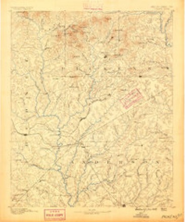
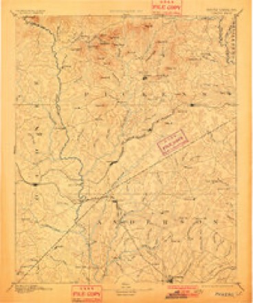
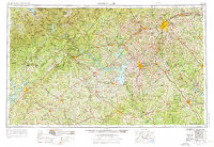
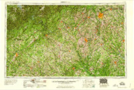
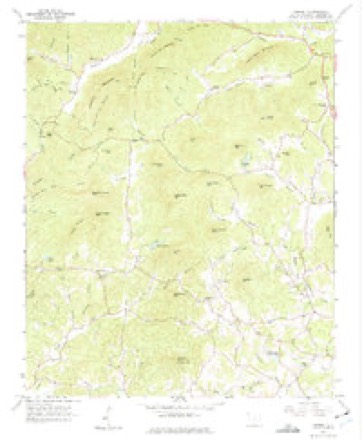
16 topographic sheets cover this place, the earliest surveyed in 1888 and the latest in 1991. It stands in the Six Mile census division. It lies in ZIP code area 29685. It stands on Mill Shoals Creek. The Survey maps it on the Sunset quadrangle.
Topographic sheets covering this place
7 surveys from 16 printed sheetsMatched by testing this settlement's coordinate against the published boundary of every sheet in the United States Geological Survey's historical collection. Each opens the scanned sheet at the Survey.
- 1888 USGS Pickens quadrangle1:125000
- 1894 USGS Pickens quadrangle1:125000, 6 printings
- 1954 USGS Greenville quadrangle1:250000, 3 printings
- 1958 USGS Greenville quadrangle1:250000
- 1961 USGS Sunset quadrangle1:24000, 3 printings
- 1984 USGS Greenville quadrangle1:100000
- 1991 USGS Greenville quadrangle1:100000
Fires near this place
239 since 1992Regional context, not property-specific evidence. The federal wildfire occurrence database lists 239 fires within 5 miles of Crow Creek between 1992 and 2020, burning about 758 acres in total. 9 started naturally. 9 were recorded as arson. Distance is straight-line from the map coordinates, so a fire counted here may appear on a neighbouring settlement's page as well.
| Reported cause | Fires |
|---|---|
| Debris and open burning | 92 |
| Missing data/not specified/undetermined | 86 |
| Equipment and vehicle use | 19 |
| Misuse of fire by a minor | 13 |
| Natural | 9 |
| Arson/incendiarism | 9 |
| Smoking | 6 |
| Recreation and ceremony | 4 |
| Power generation/transmission/distribution | 1 |
The most recent of them, most recent first, with the day each was reported and the service that recorded it.
| Date | Cause | Size | Reported by | Name on the report |
|---|---|---|---|---|
| 9 September 2002 | Debris and open burning | under an acre | South Carolina Forestry Commission | not named |
| 9 September 1997 | Missing data/not specified/undetermined | under an acre | South Carolina Forestry Commission | not named |
| 8 September 2007 | Equipment and vehicle use | under an acre | South Carolina Forestry Commission | not named |
| 4 September 1997 | Missing data/not specified/undetermined | under an acre | South Carolina Forestry Commission | not named |
| 3 September 2015 | Equipment and vehicle use | under an acre | South Carolina Forestry Commission | not named |
| 3 September 1999 | Debris and open burning | under an acre | South Carolina Forestry Commission | not named |
| 18 September 2010 | Debris and open burning | under an acre | South Carolina Forestry Commission | not named |
| 18 September 2007 | Missing data/not specified/undetermined | under an acre | South Carolina Forestry Commission | not named |
Settlements close enough to share some of these fires:
Mines and quarries near this place
4 within 5 milesRegional context, not property-specific evidence. The federal mineral resources record lists 4 workings within 5 miles of Crow Creek: 4 prospects. None of them still produces. What was taken out: Mica, Feldspar. Distance is straight-line from the map coordinates, so a quarry counted here may appear on a neighbouring settlement's page as well.
| Where | Site | Commodity | Status | Recorded |
|---|---|---|---|---|
| Meece Mine | Feldspar, Mica | Prospect | ||
| Harvey Harper Prospect | Mica | Prospect | ||
| Kirksey Prospect | Mica | Prospect | ||
| Mccomb Prospect | Mica | Prospect |
Storms near this place
17 since 2009Regional context, not property-specific evidence. The National Weather Service names Crow Creek in 17 storm reports between 2009 and 2024: 10 thunderstorm wind, 3 flash flood, 2 hail, 1 tornado. No death or injury is recorded in these reports. Each account below is quoted exactly as the forecast office filed it, from the NOAA Storm Events Database, and each date opens the federal record of that event.
| When | Event | Place named | Harm | What the report says |
|---|---|---|---|---|
| July 2023 | Thunderstorm Wind | Crow Creek | $200,000 | Multiple sources reported a swath of wind damage in north and through the city of Pickens. Numerous trees and power lines were blown down and several power poles snapped. Around 10 homes were damaged by falling trees and several outbuildings were tossed and destroyed. |
| September 2024 | Flash Flood | Crow Creek | $25,000 | A stream gauge on Twelvemile Creek near Liberty indicated flash flooding developed along the stream after 11 to 17 inches of rain fell over three days, with 1 to 2 inches of that falling in less than three hours on the morning of the 27th. In addition to the creek inundating portions of Concord Church Rd and Riggins Bridge Rd, the grounds of the Pickens County Flea Market were covered with up to 5 feet of water. |
| September 2024 | Flood | Crow Creek | $10,000 | Although heavy rain ended across Pickens County by mid-afternoon, flooding continued along Twelvemile Creek and especially the Saluda River through the afternoon. While Twelvemile Creek receded to its banks by evening on the 27th, major river flooding continued along the Saluda until the early morning hours of the 29th, and the river didn't fall below flood stage until the afternoon of the 29th. The river gauge in west Greenville crested at just over 20 feet, which exceeded the record crest by almost a foot (October 1949). |
| May 2022 | Tornado (EF1) | Crow Creek | $10,000 | NWS storm survey found a brief tornado touched down on Hagood Mill Road, just south of E Preston McDaniel Rd where a few trees were uprooted. The tornado tracked northeast to Earnest Way, where several trees were uprooted and snapped, and the roofs of a couple of mobile homes were damaged. The tornado continued northeast, where extensive tree damage was noted on private property with dozens of trees snapped or uprooted. As the tornado continued across E Preston McDaniel Road, additional trees were downed and the roof structure over a porch collapsed at a church before the tornado lifted. |
| July 2019 | Thunderstorm Wind | Crow Creek | $1,000 | Fire dept reported multiple trees and a few power lines blown down from Meece Mill Rd to Highway 183 west of Pickens. One tree fell on a vehicle. |
| April 2019 | Flash Flood | Crow Creek | $1,000 | Emergency manager reported flash flooding developed along at least a couple of small streams in northern Pickens County after 5 to 7 inches of rain fell across the area, most of which fell in around 6 hours. Meece Mill Rd and Sliding Rock Rd were both inundated with water and closed for a period of time. |
| May 2022 | Thunderstorm Wind | Crow Creek | - | Media reported trees blown down from straight line along Porter Rd near Highway 178, just past the end of a tornado path. |
| June 2018 | Thunderstorm Wind | Crow Creek | - | Multiple sources reported multiple trees blown down in Pickens County, mainly across the central part of the county, with trees down on Rushmore Dr and Fox Squirrel Ridge Rd in Pickens. Additional sporadic tree damage was reported elsewhere in the county, including in Six Mile and Easley. |
| June 2018 | Thunderstorm Wind | Crow Creek | - | Law enforcement reported a few trees blown down in the Midway Road area. |
| April 2015 | Hail | Crow Creek | - | County comms reported quarter size hail on Midway Rd (4.5 N Pickens). Spotter reported quarter size hail on Old Glassy Mountain Rd (3.5 NE). At least one other report of quarter size hail was received from this area. |
| August 2014 | Hail | Crow Creek | - | FD reported quarter size hail 3 NW Pickens. Ham radio operator reported quarter size hail off Jewell St in downtown Pickens. |
| August 2013 | Flash Flood | Crow Creek | - | A swift water rescue was conducted near the Pickens County flee market, near highway 183. |
| July 2012 | Thunderstorm Wind | Crow Creek | - | Trees were blown down on highway 178 north of Pickens. |
| July 2012 | Thunderstorm Wind | Crow Creek | - | A tree was blown down on Meece Mill Rd near Gravley Rd. |
| June 2011 | Thunderstorm Wind | Crow Creek | - | Several trees were blown down about 6 miles northwest of Pickens. |
| May 2011 | Thunderstorm Wind | Crow Creek | - | Trees were blown down along Lost Valley Rd. One tree was blown onto a house. |Trees were also blown down on a house near the intersection of Shalimar Rd and Pleasant View Rd. |
| June 2009 | Thunderstorm Wind | Crow Creek | - | Numerous trees were blown down across the county, especially in areas around the city of Pickens. |
Nearest settlements
The eight closest, with where each one stands in the county. Distances are straight-line, computed from the Geographic Names Information System coordinates.
| Map | Place | Distance | Sheets |
|---|---|---|---|
| Midway | 3.8 miles | 17 | |
| Nine Times | 3.8 miles | 16 | |
| Sunset | 4.2 miles | 16 | |
| Pickens | 4.3 miles | 17 | |
| Pleasant View | 4.6 miles | 17 | |
| Prices Store (historical) | 4.8 miles | 16 | |
| Nimmons | 5.9 miles | 16 | |
| Terrapin Crossroads | 6.2 miles | 16 |
Provenance
This settlement is recorded in the Geographic Names Information System as feature 1243311. The sheet list is computed by point-in-boundary test against the United States Geological Survey's historical topographic inventory. Both are works of the United States government and carry no copyright under 17 U.S.C. 105.
Wildfire. Short, Karen C. 2022. Spatial wildfire occurrence data for the United States, 1992-2020 [FPA_FOD_20221014]. 6th Edition. Fort Collins, CO: Forest Service Research Data Archive. https://doi.org/10.2737/RDS-2013-0009.6 Collected with United States Government funding and usable without additional permissions or fees.
Mines and quarries. USGS Mineral Resources Data System (MRDS) https://mrdata.usgs.gov/mrds/ A work of the United States government, no copyright under 17 U.S.C. 105.
Storms. NOAA National Centers for Environmental Information, Storm Events Database https://www.ncei.noaa.gov/stormevents/ A work of the United States government, no copyright under 17 U.S.C. 105. Narratives are quoted verbatim from the National Weather Service report and are not edited or summarised.