Block
From the record
29 National Register listings published here, 1 of them a National Historic Landmark.
Sources: the National Register database, National Park Service
77 topographic sheets and 12 fire insurance atlases across 3 places.
29 National Register listings published here, 1 of them a National Historic Landmark.
Sources: the National Register database, National Park Service
Taken for the Office of War Information and the Farm Security Administration, who photographed the country between 1935 and 1944. Works of United States government photographers, with no known restriction on use. Each opens its catalogue record.
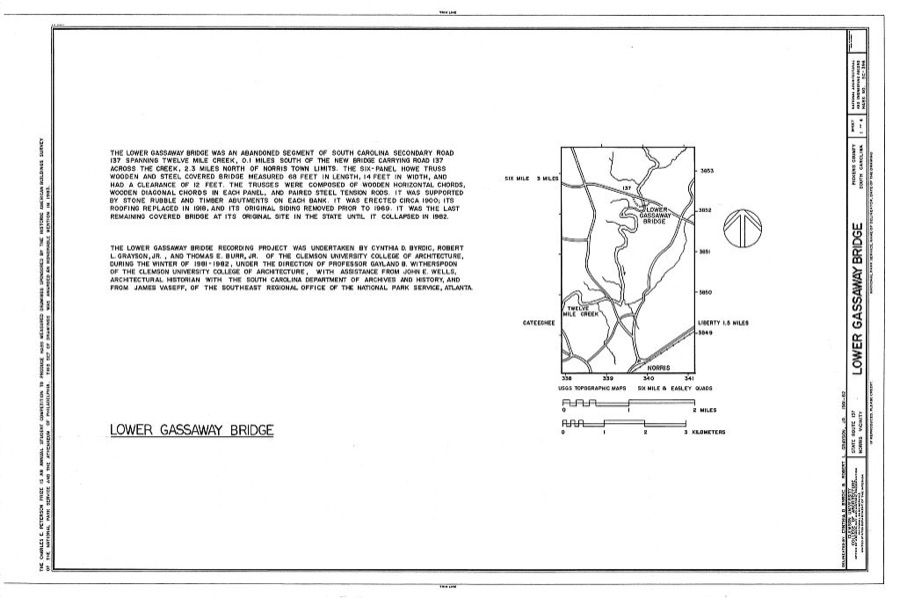
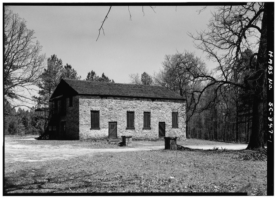
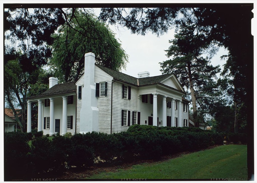
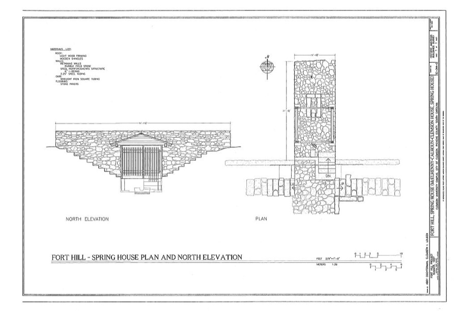
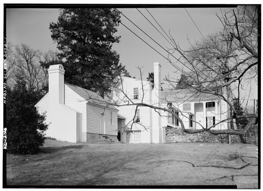
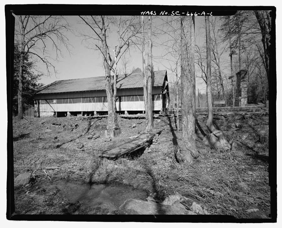
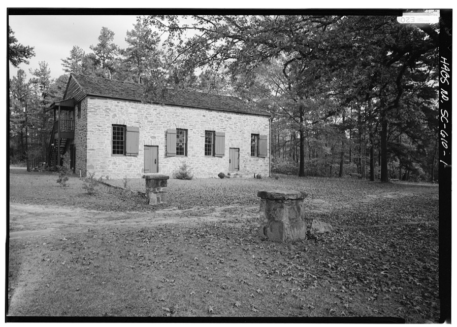
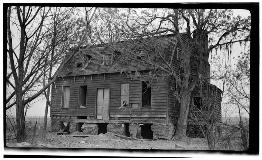
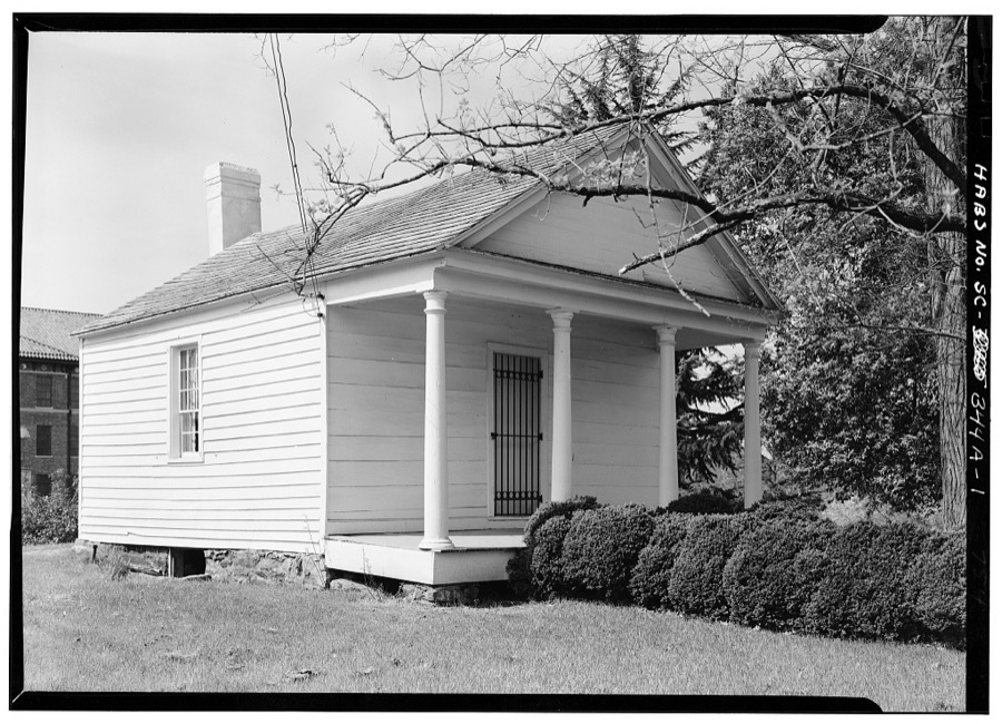

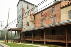
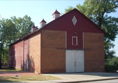
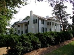
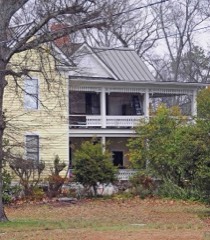
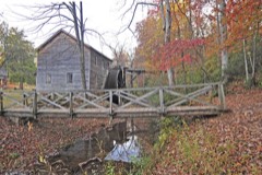
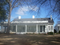
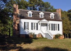
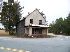
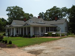
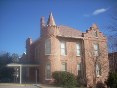
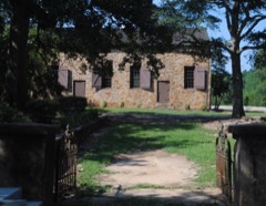
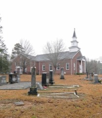
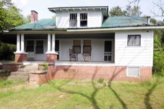
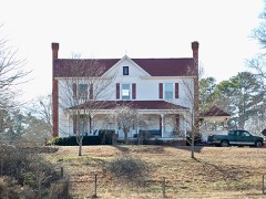
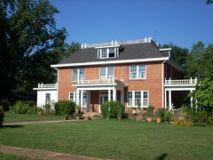
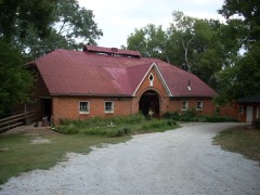
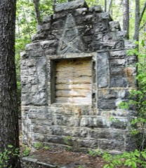
Every property in this county listed on the National Register of Historic Places, with the year it was listed and the federal nomination document.
Sampled issues, machine-read from the Library of Congress scan and published page by page, so every headline and column is searchable text.
Pickens, S.C., 1906 to 1909. Machine-read from the Library of Congress scan.
Pickens, S.C., 1909 to 1911. Machine-read from the Library of Congress scan.
Pickens, S.C., 1871 to 1903. Machine-read from the Library of Congress scan.
Pickens, S.C., 1891 to 1903. Machine-read from the Library of Congress scan.
Easley, S.C., 1883 to 1891. Machine-read from the Library of Congress scan.
Pickens, S.C., 1903 to 1906. Machine-read from the Library of Congress scan.
Pickens, S.C., 1911 to 2016. Machine-read from the Library of Congress scan.
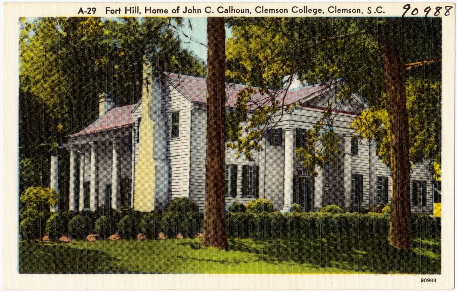
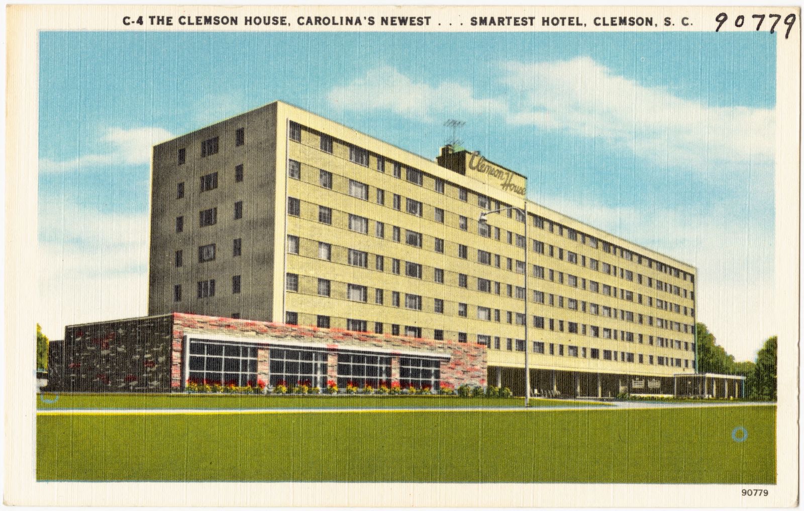
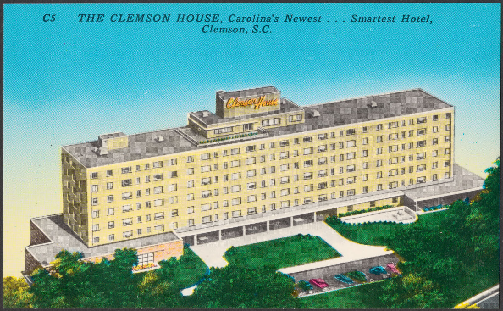
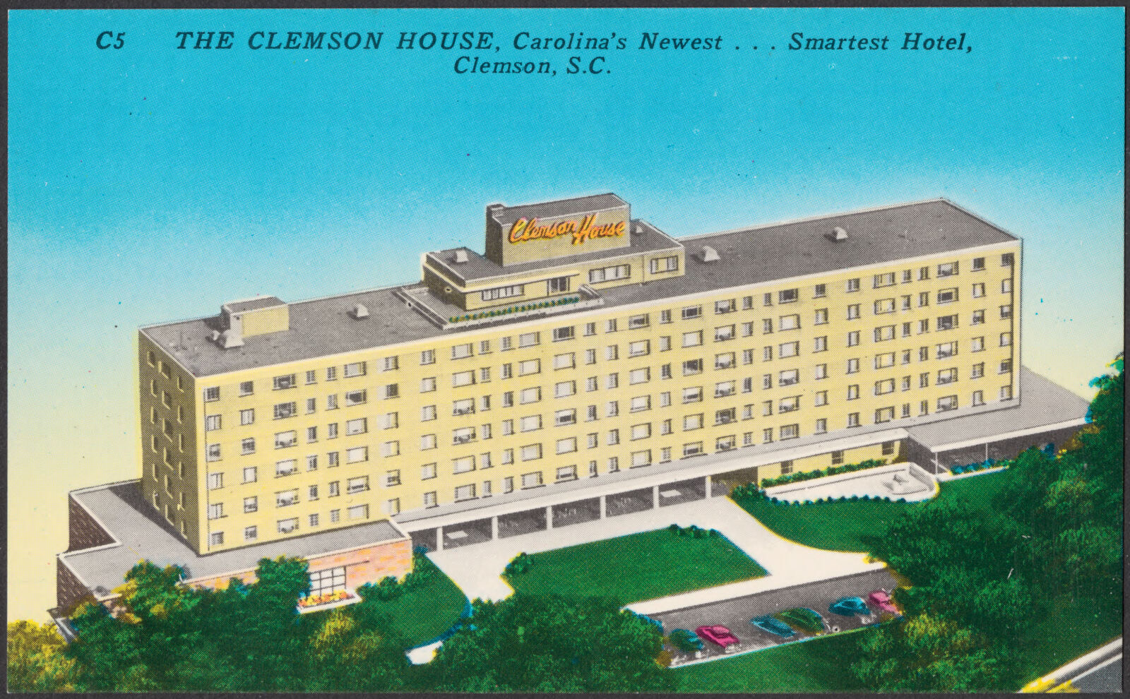
Selected from the Digital Public Library of America's 10 image records catalogued for this county. Every one shown here carries a public-domain status or a licence that permits reuse on a site that carries advertising; non-commercial, share-alike and restricted images are excluded. The selection is spread across the county's towns (at most eight per town), so no single institution's bulk upload crowds out the rest. Each opens the holding library's record, and the complete set at the Digital Public Library of America is one click away.
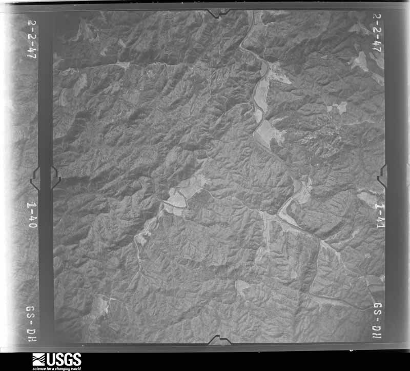
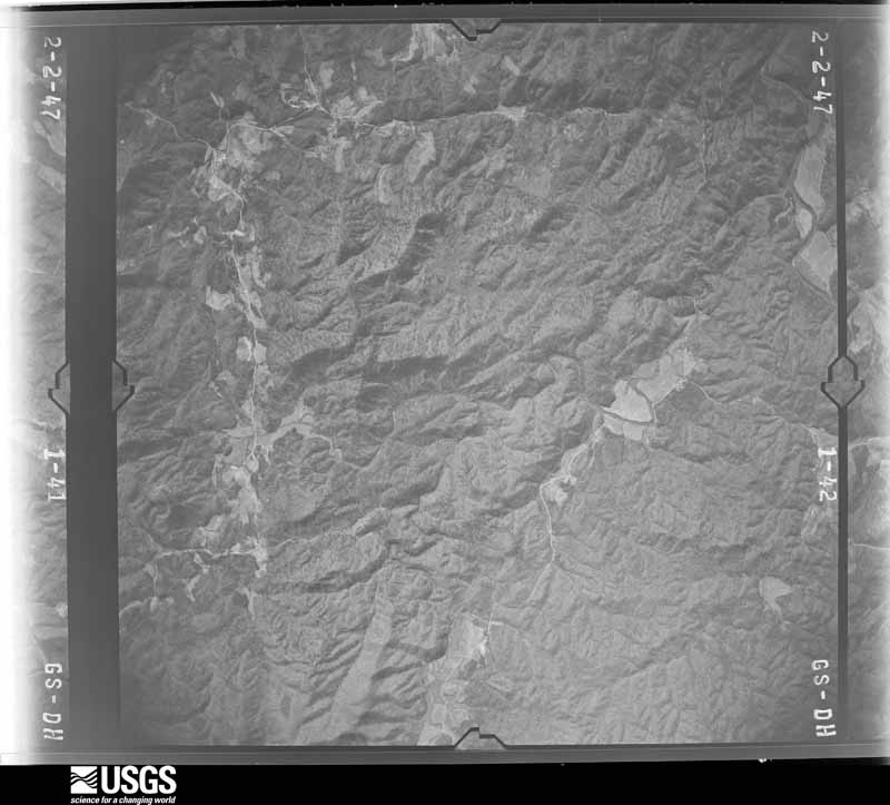
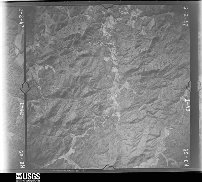
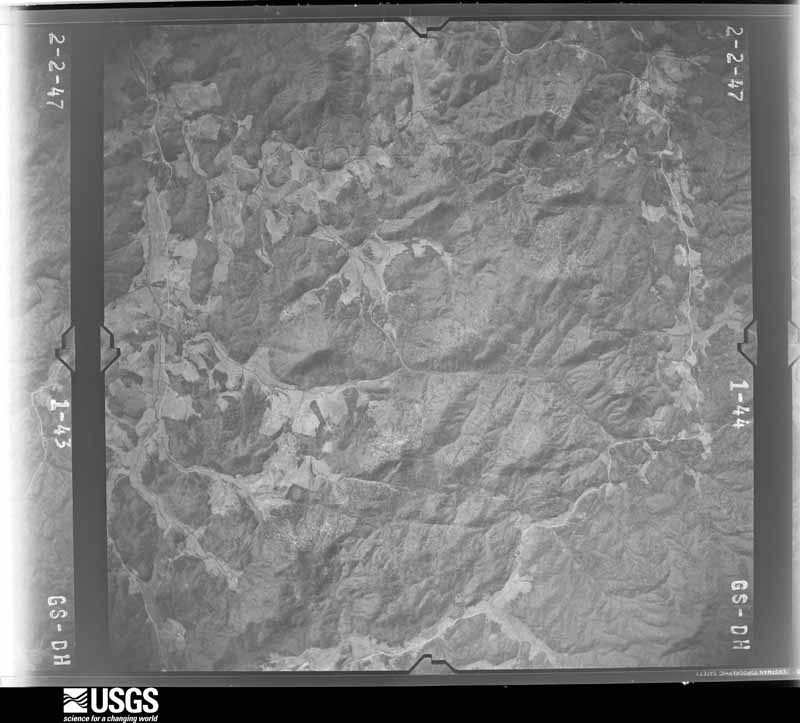
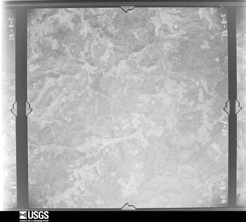
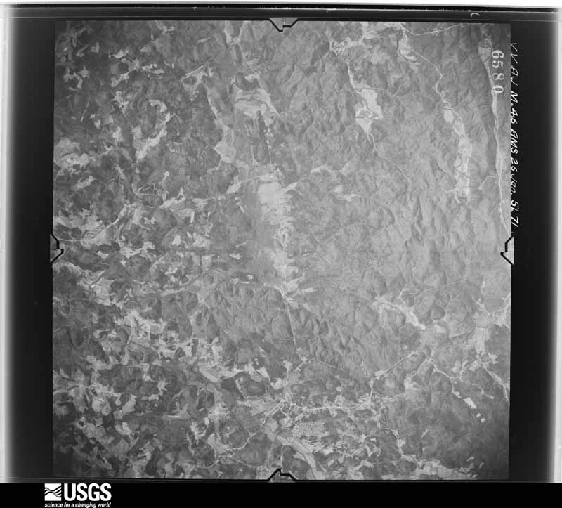
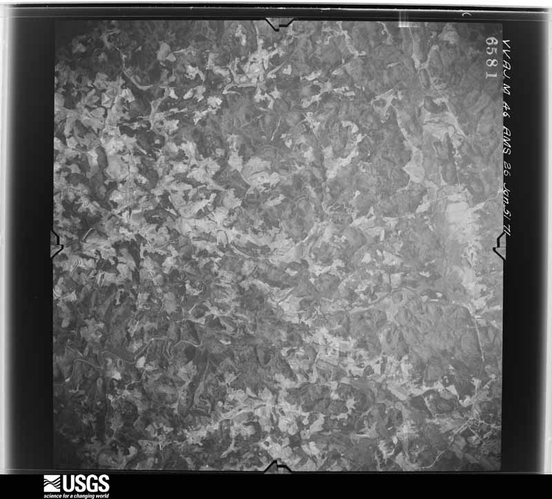
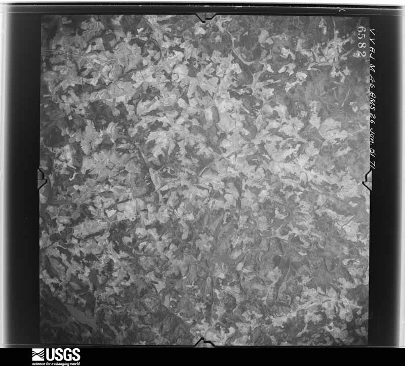
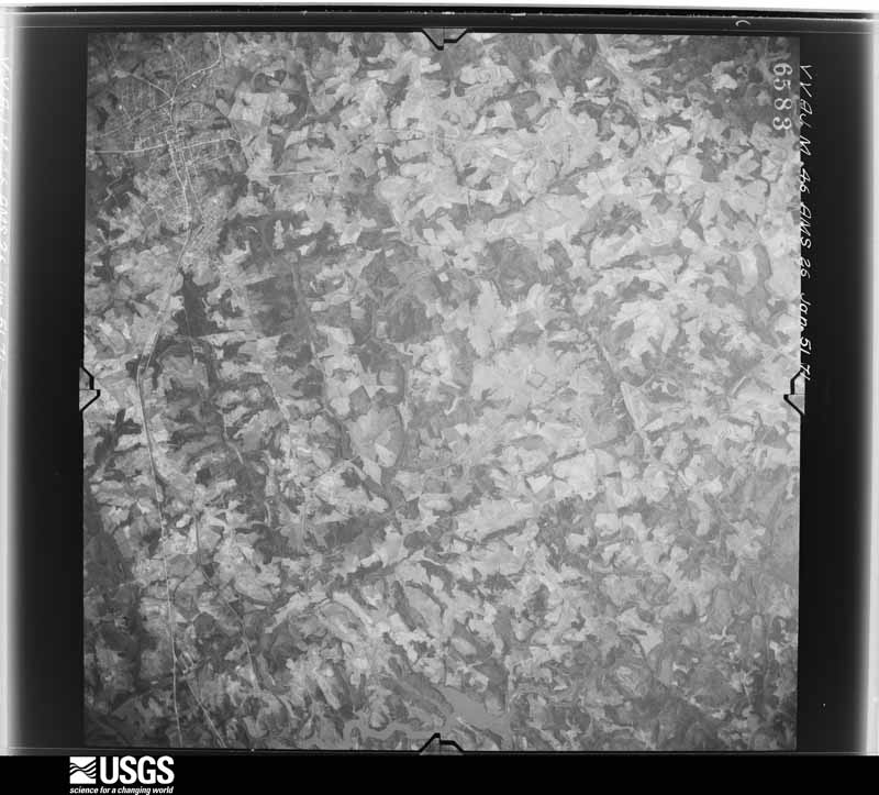
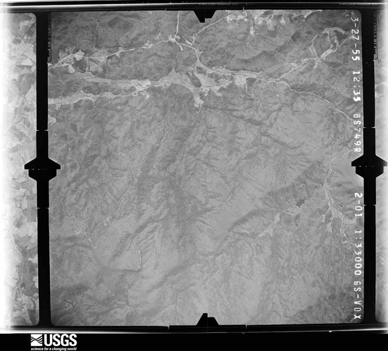
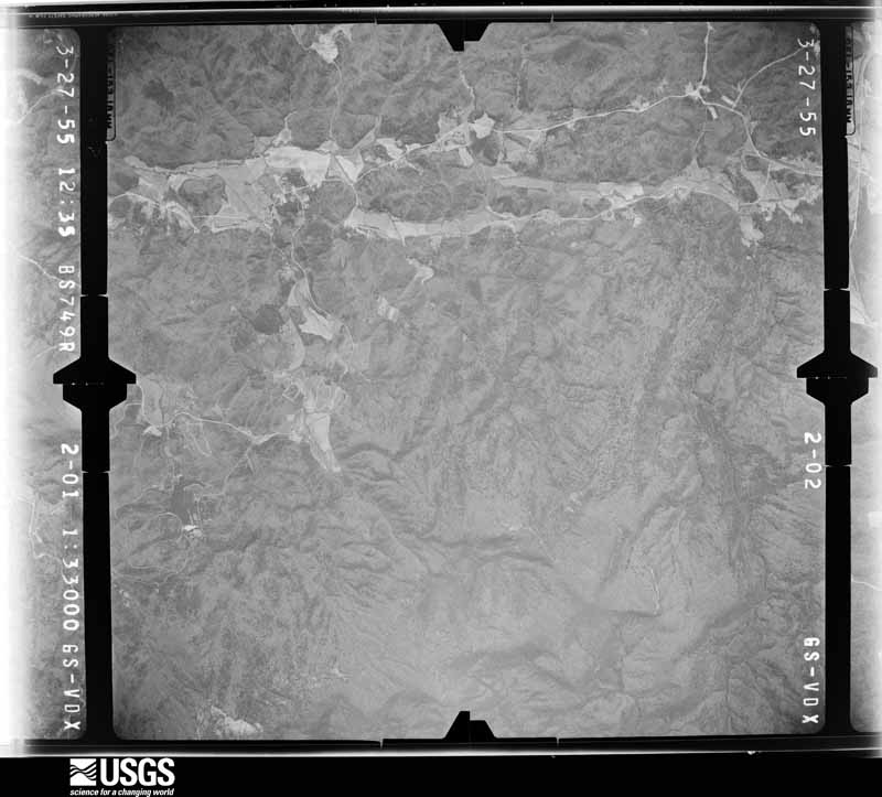
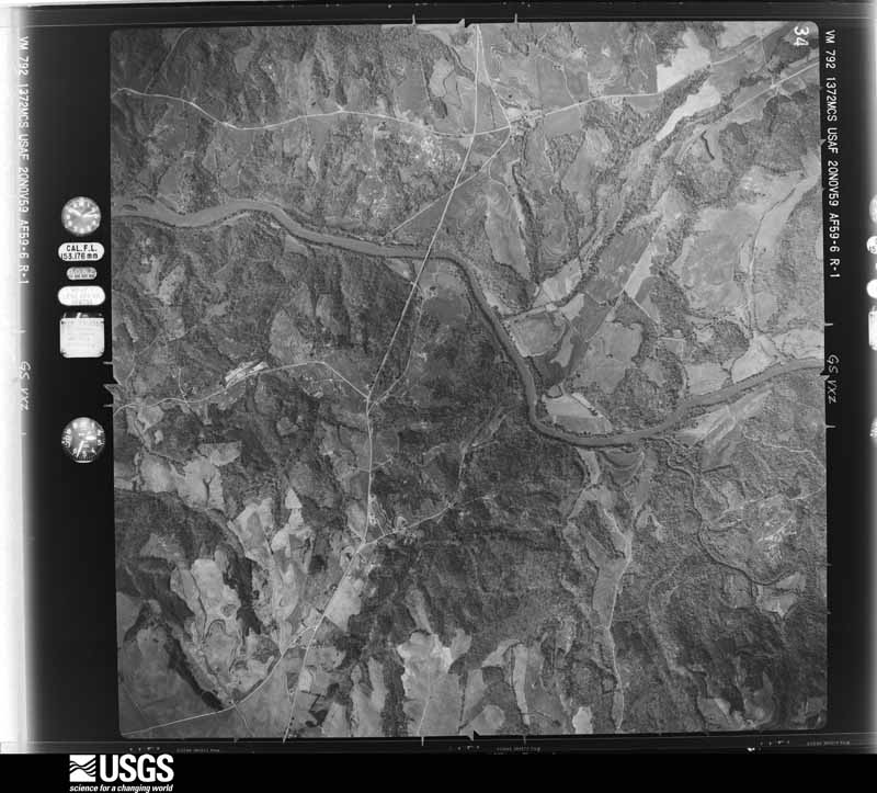
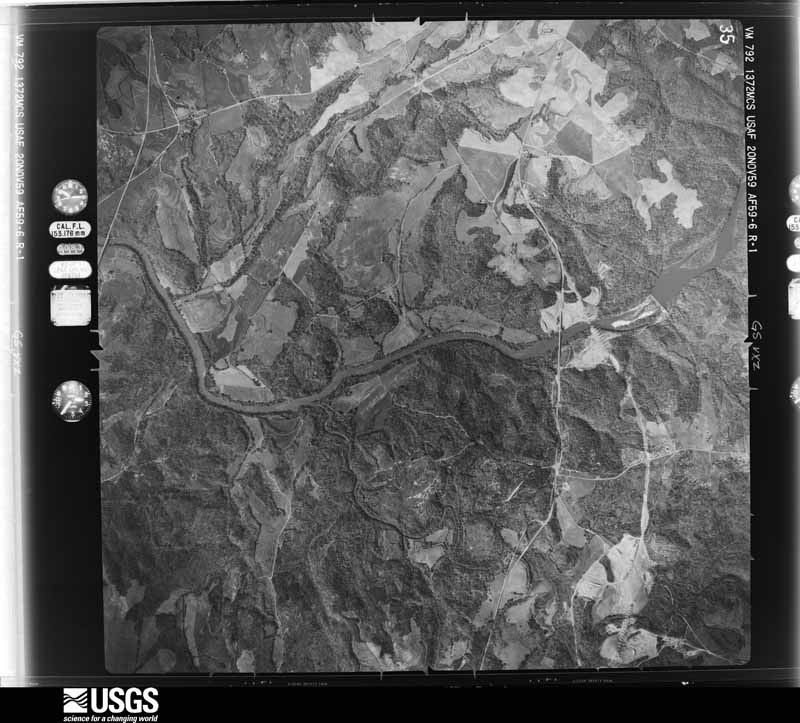
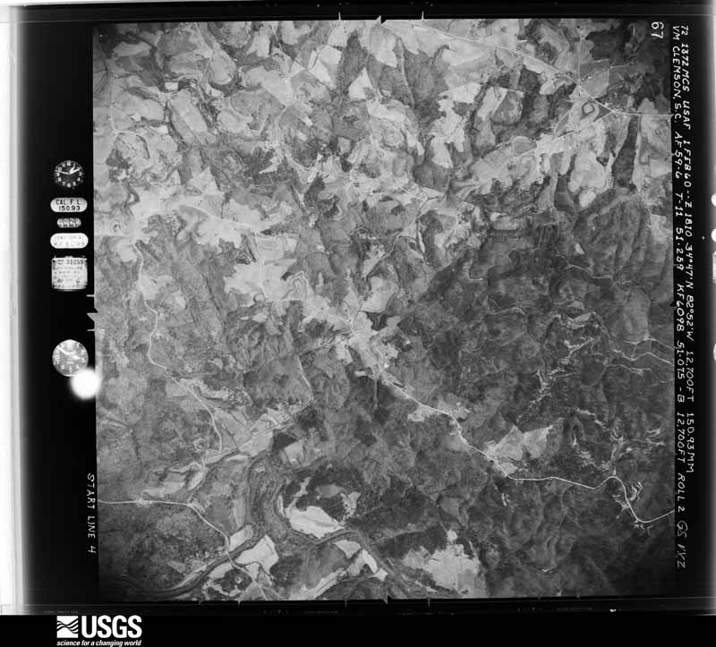
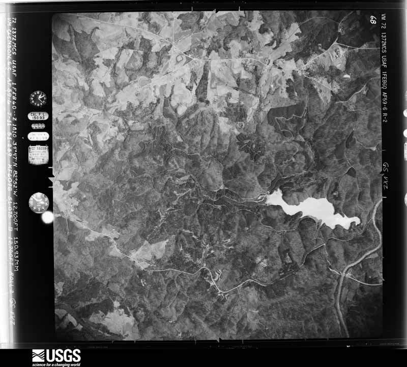
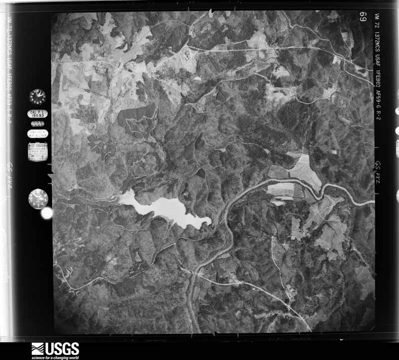
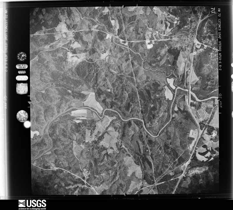
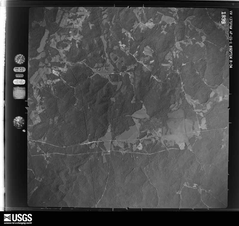
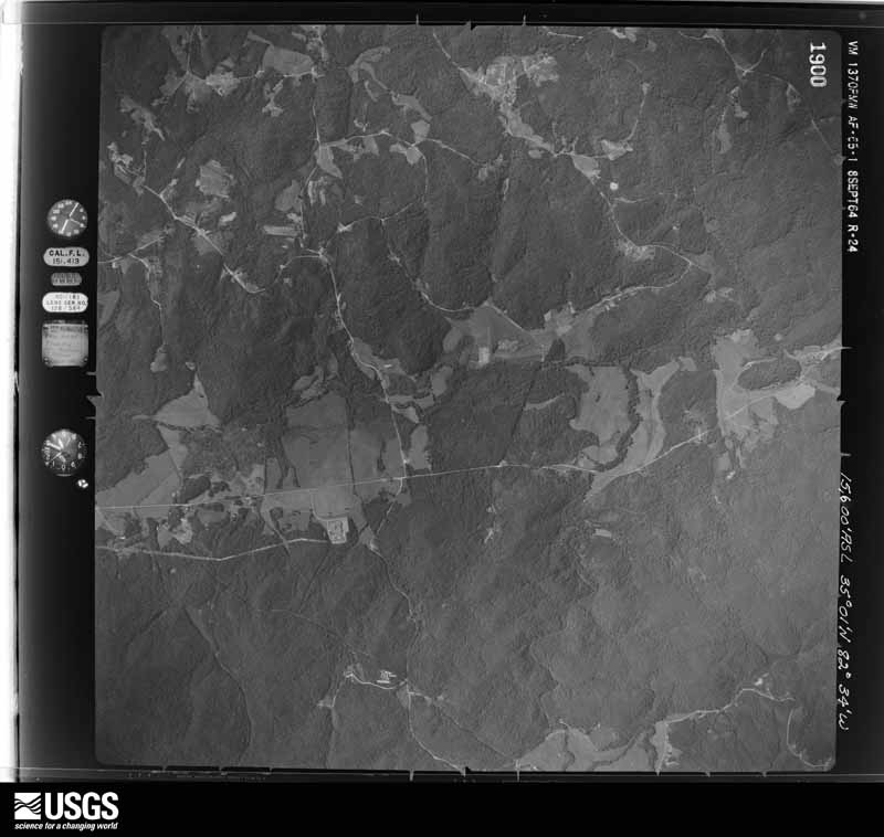
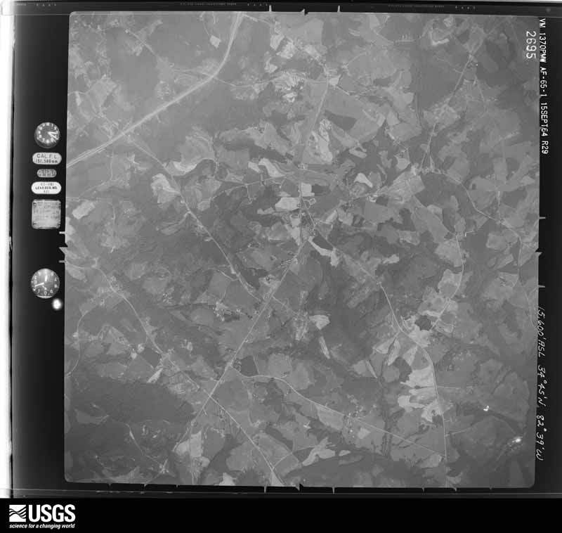
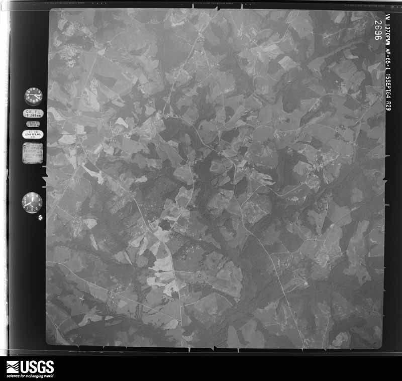
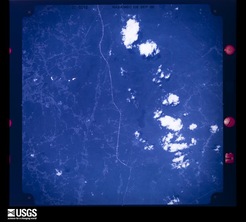
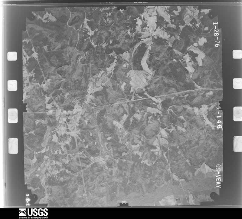
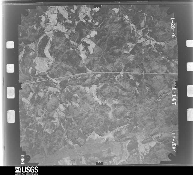
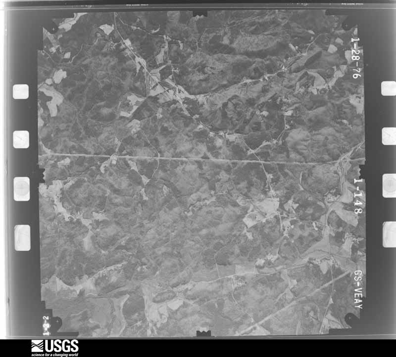
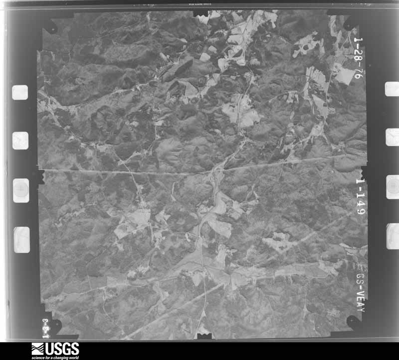
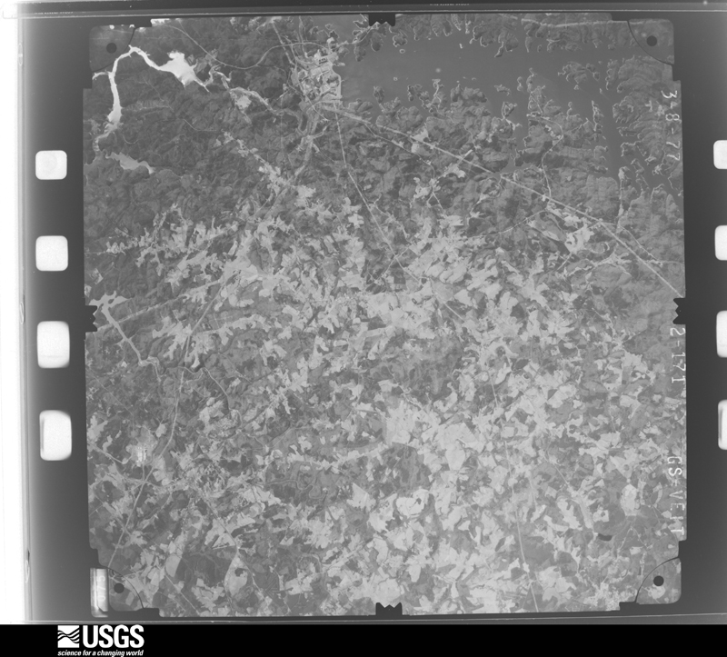
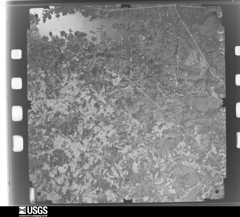
Flown by the U.S. Geological Survey between 1937 and 1989, the Aerial Photo Single Frames collection is the definitive mid-century view of the land: fields, roads and rivers as the camera saw them. The Survey holds 795 frames inside the rectangle that bounds this county; the 44 frames below were taken over the county itself, chosen across the decades of flights (at most four a year from that rectangle), so one flight cannot crowd out the rest. The full set is free to browse and download at EarthExplorer under the dataset Aerial Photo Single Frames.



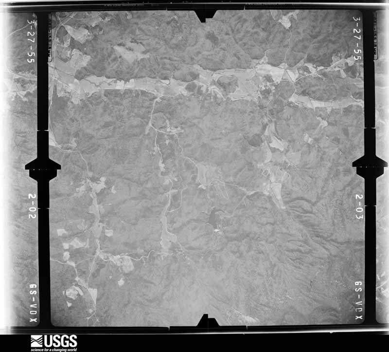
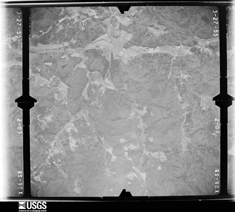
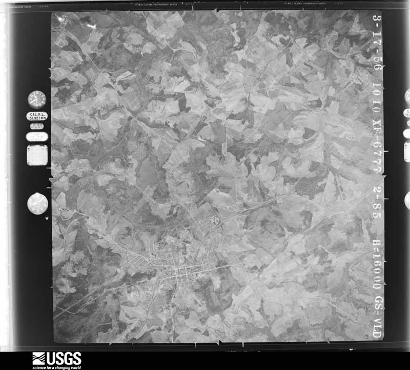
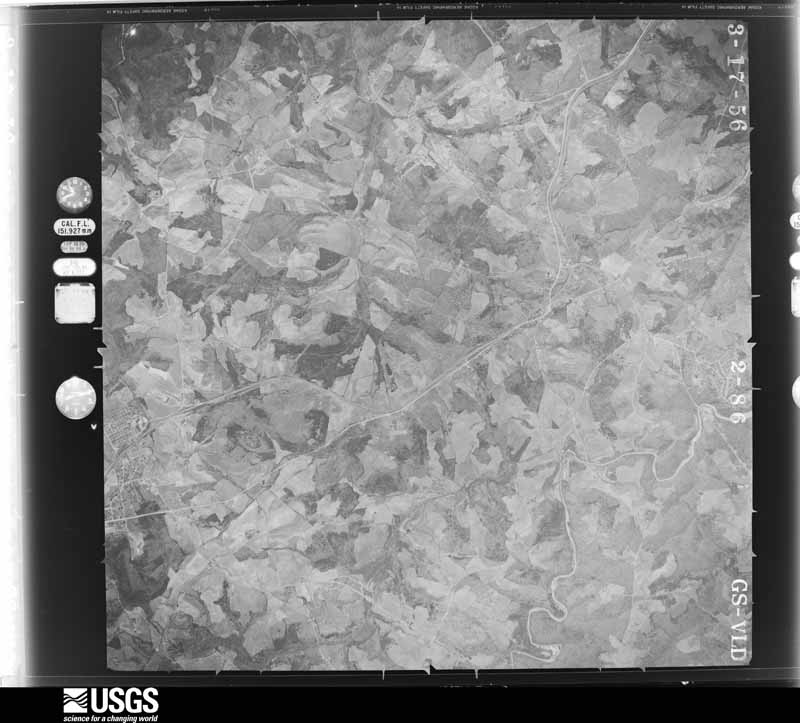
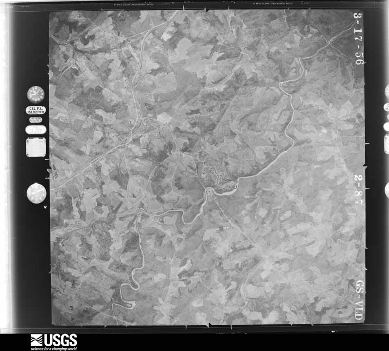
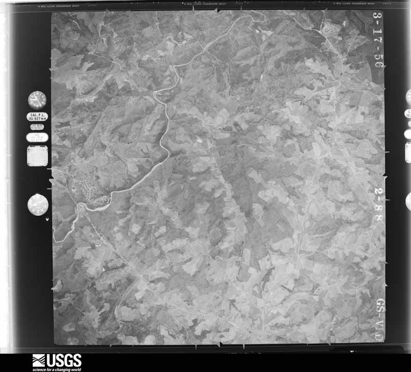
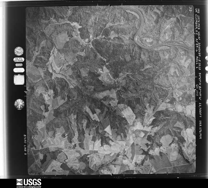
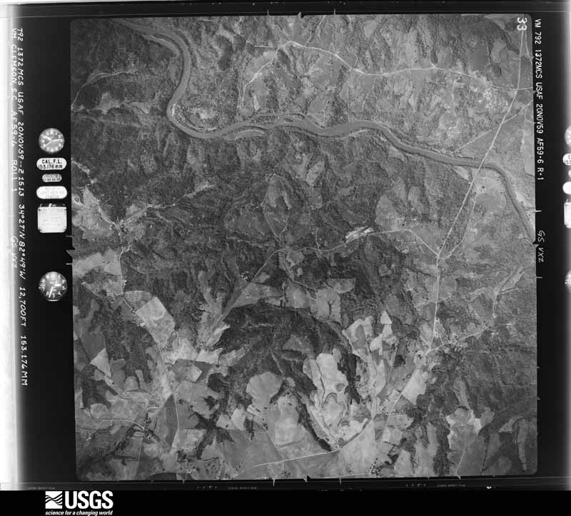





The thermometers that kept this county's weather, and the gages that measured the flow of its streams, as the federal records hold them. The extremes below are measured values from those records, not estimates.
Who lived here in 1950, one enumeration district at a time, as the Census Bureau described each district. Each row opens its official National Archives result, with Population Schedules and ED Maps available there.
Every wildfire the federal occurrence database records inside this county: 1,148 of them, burning about 15,024 acres. 36 started naturally and 53 were recorded as arson. Each settlement page carries the fires within five miles of it.
| Reported cause | Fires |
|---|---|
| Missing data/not specified/undetermined | 425 |
| Debris and open burning | 416 |
| Misuse of fire by a minor | 78 |
| Equipment and vehicle use | 62 |
| Arson/incendiarism | 53 |
| Natural | 36 |
| Smoking | 34 |
| Recreation and ceremony | 23 |
| Power generation/transmission/distribution | 12 |
| Railroad operations and maintenance | 4 |
| Other causes | 3 |
| Fireworks | 2 |
The five largest, by the area the report gives. None of them was recorded as arson.
| Date | Cause | Size | Reported by | Name on the report |
|---|---|---|---|---|
| 9 November 2016 | Recreation and ceremony | 10,623 acres | South Carolina Forestry Commission | PINNACLE MTN FIRE |
| 11 April 2014 | Recreation and ceremony | 468 acres | South Carolina Forestry Commission | not named |
| 9 April 2007 | Recreation and ceremony | 250 acres | South Carolina Forestry Commission | not named |
| 22 March 1996 | Missing data/not specified/undetermined | 200 acres | South Carolina Forestry Commission | not named |
| 23 March 1999 | Recreation and ceremony | 150 acres | South Carolina Forestry Commission | not named |
| 18 April 1996 | Missing data/not specified/undetermined | 150 acres | South Carolina Forestry Commission | not named |
| 21 April 2004 | Smoking | 102 acres | South Carolina Forestry Commission | not named |
| 2 April 2014 | Power generation/transmission/distribution | 100 acres | South Carolina Forestry Commission | not named |
Every settlement page carries the fires within five miles of it - see the settlement index below.
The NOAA Storm Events Database holds 576 reports for this county, causing 4 deaths, 37 injuries and about $12,350,030 in recorded property damage. Each settlement page carries the reports that name it.
| Kind of event | Reports |
|---|---|
| Thunderstorm Wind | 318 |
| Hail | 171 |
| Tornado | 35 |
| Flash Flood | 31 |
| Heavy Rain | 8 |
| Flood | 7 |
| Lightning | 6 |
The most serious of them, by death, then injury, then recorded damage. The accounts are quoted exactly as the forecast office filed them.
| When | Event | Place named | Harm | What the report says |
|---|---|---|---|---|
| July 2019 | Thunderstorm Wind | Eastatoe | 2 killed, 2 hurt, $50,000 | County comms reported strong thunderstorm winds caused a home under construction to collapse on Waterlake Dr, killing two workers, and injuring two others. Several trees and power lines were also blown down in the vicinity. |
| January 1998 | Flash Flood | Pickens | 1 killed, 3 hurt, $50,000 | Excessive rain fell just north of Pickens causing raging water flowing into a lake to wash out a road. Two cars drove into this washout around 2300 EST and then were swept into the lake, killing one young man and injuring three other people. |
| August 2013 | Flash Flood | Cateechee | 1 killed, $50,000 | A car was swept away by flood waters on Silver Creek Road. The car and it's occupant, a 23 year old male, were found separately downstream. The occupant was killed and the car destroyed. Two other cars were swept away at this location with 4 passengers rescued. |
| January 2007 | Tornado (F1) | Liberty | 15 hurt, $50,000 | This tornado touched down very briefly in the parking lot of the Liberty Elementary School. Nine vehicles were severely damaged. At least 4 vehicles were lifted off the ground or flipped over by the wind. Some of the vehicles were occupied by parents awaiting school dismissal. Fifteen people received mostly minor injuries, with 5 being transported to the hospital. A shed was also blown over. |
| April 2020 | Tornado (EF2) | Pumpkintown | 8 hurt, $200,000 | NWS Storm Survey determined the path of a tornado that began in northern Pickens County near the intersection of Highway 8 and Log House Rd. Numerous trees were uprooted and large trees snapped as the tornado moved northeast, crossing Dacusville Highway, Cedar Rd, and the Oolenoy River. From there, it moved roughly parallel to Highway 288 before crossing into Greenville County. The most significant damage was found along the banks of the Saluda River, including along Yankee Rebel Pt and Sherwood Rd, where two mobile homes were rolled and several large hardwood trees snapped. A total of eight people were injured in this area. |
| January 1998 | Tornado (F2) | Easley | 4 hurt, $3,000,000 | A tornado developed from a fast moving severe thunderstorm that raced north out of eastern Georgia. The F2 tornado destroyed several houses and mobile homes and severely damaged many other homes and businesses. Damage was sustained to the south of the track of the tornado due to strong inflow into the storm. Damage from severe thunderstorm winds in the rear flank downdraft occurred north into Easley. |
| May 2003 | Tornado (F1) | Easley | 1 hurt, $250,000 | This tornado traveled just south of highway 123, causing some structural damage and blowing down numerous trees and power lines before lifting near the Greenville County line. Several homes and a church received light to moderate roof damage, and several vacant mobile homes were damaged or destroyed at a sales lot. |
| June 2011 | Thunderstorm Wind | Six Mile | 1 hurt | Mutliple trees and power lines were blown down in the Clemson area. Several trees fell on roads and at least three trees fell on homes, with significant damage to a home and minor injuries to an occupant on Augusta Rd. |
| July 1997 | Thunderstorm Wind | Pickens | 1 hurt | no account filed |
| August 1997 | Lightning | Clemson | 1 hurt | no account filed |
| April 1990 | Thunderstorm Wind | not stated | 1 hurt | no account filed |
| February 2020 | Flash Flood | Sunset | $1,500,000 | Emergency manager and automated stream gauges reported significant flash flooding developed across Pickens County after 4 to 7 inches of rain, with locally higher amounts fell in about an 18-hour period. More than half of that rain fell in less than 6 hours from daybreak through late morning of the 6th. The main impact was within the Twelvemile Creek basin. A stream gauge on the creek near Liberty exceeded major flood stage by the evening of the 6th. At this level, significant flooding occurs to the Pickens County Flea Market on Highway 183, and most of the bridges over Twelvemile Creek become inundated. One home on Williams Dr was rendered uninhabitable due to water damage. Flash flooding of the Saluda River also occurred on the Pickens County side of west Greenville, where water was beginning to inundate some houses by late evening. Town Creek overflowed its banks in the city of Pickens and inundated and caused significant damage to an industrial park that was in the process of being converted to new business sites. Two people had to be rescued from this location. Other roads were flooded and closed throughout the county due to a combination of drainage and small stream flooding. Dozens of roads were closed at the height of the event. |
| November 2010 | Tornado (EF1) | Easley | $1,500,000 | A tornado damage path was surveyed starting in the Old Market Square area near downtown Easley. Numerous buildings in the downtown area received minor to significant roof damage. Some trees fell on homes as well. The tornado appeared to lift briefly as it traveled north northeast from the downtown area. However, the damage path appeared again in the Lenhardt Rd area just north of downtown. An anchored mobile home was rolled 60 to 80 feet and completely destroyed at this location. Numerous trees were also uprooted or snapped in this area. |
| February 2020 | Flood | Sunset | $500,000 | Although heavy rain gradually wound down across Pickens County through the evening, high water conditions persisted, including throughout the Saluda River and Twelvemile Creek basin into the daylight hours of the 7th. Major flooding developed along the Saluda during this time, and the flooding in the west Greenville area was the worst since October 1964. Multiple structures were inundated in extreme southeast Pickens County, including homes on Shady Acres Circle and Old Easley Bridge Rd. Meanwhile. the stream gauge on Twelvemile Creek near Liberty remained in moderate to major flooding until around sunrise on the 7th. However, flooding persisted on the Saluda River, and multiple roads remained closed throughout the day. |
| June 1994 | Tornado (F1) | Salem to | $500,000 | A thunderstorm became severe after moving out of the Georgia mountains and generated two tornadoes in the mountainous areas of the upstate. The first tornado started near Pickett Post - where the tornado of March 27, 1994 ended. This storm reached F2 intensity blowing off roofs of several well built homes and downing numerous large trees. In all, about 25 homes were damaged and property loss is estimatred at about $250,000. The tornado moved from Pickett Post over or near Salem, Tamassee, Boone's Creek and dissipated around the dam at Lake Jocassee in the northeast corner of Oconee County. A 15-year-old girl was slightly injured when the roof of her mobile home was caved in by the storm. A second tornado, F1 began near Antiock just inside the Pickens County line and south of the first tornado track. This storm caused about $50,000 in damage to homes, outbuildings, and sheds, and downed quite a bit of timber. The tornado moved near the Nine Times Community and ended north northwest of Pickens along Highway 11. |
| March 1993 | Hail | Pickens | $500,000 | no account filed |
| July 2005 | Flash Flood | Pickens | $400,000 | Flooding began around Easley during the late morning, when several roads were underwater, including Stewart Dr, Campbell Ave, and Saluda Dam Rd, where a car was swept away by flood water. Flooding became quite serious around 10 AM, when water from Georges Creek entered 8 homes in the Quail Haven s/d, forcing evacuations. Some of the homes and their contents were damaged extensively and rendered uninhabitable. At least 1 bridge was washed out. A family required rescue when their van succombed to flood water in the Oak Creek subdivision. Near Pickens, a flea market was underwater when a feeder creek of Twelvemile Creek flooded. Several roads were closed in Pickens, including City Lake and Slickum Rds. A bridge on Odom Rd in Pickens received some minor damage and a portion of Ballard Hill Rd was washed out. |
| September 2024 | Flash Flood | Latham | $300,000 | A stream gauge on the Saluda River in west Greenville indicated flash flooding developed along the river after 8-15 inches of rain fell across the foothills in three days, with 1.5 to 2.5 inches of that falling in less than three hours on the morning of the 27th. Multiple homes and structures were inundated and damaged on the Pickens County side of the river in east Easley, including on Shop Ct, Shady Acres Circle, Covenant Dr, and Easley Bridge Rd. |
| March 2022 | Tornado (EF2) | Six Mile | $250,000 | NWS storm survey found the path of a strong tornado that touched down on Duncan Rd near Sarah Rose Dr, where numerous trees were blown down, one of which fell on a mobile home. The tornado traveled northeast from there, continuing to blow down numerous trees as it crossed Rolling Hills Rd and Mile Creek Rd. Hundreds of trees were down in this area, including trees as large a couple of feet in diameter. The tornado intensified as it moved towards Windmont Rd, which is where the worst damage was observed. Much of the roof was removed and one exterior wall collapsed on a brick house on Windmont Rd. Three occupants of this home were trapped and had to be rescued, with minor injuries. The tornado weakened as it continued northeast, crossing Mt Bethel Rd, Shady Grove Rd, and Reece Mill Rd before intensifying again in the area between Reece Mill Rd and Lost Valley Road, where a mobile home was split in two and rolled over off of its foundation on Crystal Ln and hundreds of trees were downed. The tornado weakened a bit but continued to blow down numerous trees northeast of there, crossing Nine Times Rd and Meece Mill Rd before lifting near Gravley Rd. |
| October 2017 | Tornado (EF2) | Cateechee | $250,000 | NWS storm survey found a non-continuous path of tornado damage that began at Maxey Dr near the center of Norris. Multiple trees were blown down, several outbuildings damaged or destroyed, and a home received moderate roof damage at this location. The first of several short breaks in the damage path occurred there, but the path was picked up again in an area along Robinson Bridge Rd, just north of Jule Merck Rd, where the most significant damage was observed. The roof of a brick home was completely removed and part of an exterior wall collapsed. Two mobile homes were also completely destroyed in this area. The path was lost again downstream of this location, in a mostly inaccessible area roughly paralleling Twelvemile Creek, but additional tree damage and minor damage to a mobile home was found along Liberty Highway between Nix Rd and Sweetbriar Rd. Yet another break in the path was observed to the north/northeast of this location, but additional damage to trees and outbuildings was observed along South Belle Shoals Rd and Allgood Bridge Rd. A final area of damage was found just west of downtown Pickens, with roofing material removed from a home on Bradley Dr and multiple trees down along Shady Grove Rd. |
| February 1990 | Tornado (F1) | not stated | $250,000 | no account filed |
| February 1990 | Tornado (F1) | not stated | $250,000 | no account filed |
| December 1977 | Tornado (F1) | not stated | $250,000 | no account filed |
| July 2023 | Thunderstorm Wind | Crow Creek | $200,000 | Multiple sources reported a swath of wind damage in north and through the city of Pickens. Numerous trees and power lines were blown down and several power poles snapped. Around 10 homes were damaged by falling trees and several outbuildings were tossed and destroyed. |
| July 2013 | Flash Flood | Clemson | $200,000 | The Clemson Botanical Garden was heavily damaged by flash flooding. Damage to trails, bridges, and other infrastructure was estimated to total 200,000 dollars. Extensive damage was done to the garden's collection of rare plants, though it is difficult to estimate a dollar value for this loss. |
| July 2003 | Tornado (F1) | Liberty | $200,000 | The first of 2 tornadoes that tracked across Pickens County on the afternoon of the 13th moved from Liberty to the Anderson County line southeast of Liberty. In Liberty, roofs were blown off several buildings, and numerous trees and power lines were blown down. Damage to trees and power lines, and some structural damage continued as the tornado tracked southeast. |
| July 2003 | Tornado (F1) | Liberty | $200,000 | Another tornado touched down just west of the track of the first tornado, and moved through the Liberty area before moving into Anderson County. The second tornado was also responsible for significant damage to some roofs, as well as widespread damage to trees and power lines. |
| April 2017 | Thunderstorm Wind | Central | $100,000 | NWS storm survey and em reported numerous trees blown down due to downburst winds, with one tree on a house and multiple other homes receiving mostly minor damage due to falling limbs. The damage was mainly from Wood St, across Meredith St, to Fernway Dr. |
| August 2014 | Thunderstorm Wind | Clemson | $100,000 | EM reported a tree was blown down on a house, causing significant structural damage. |
| August 2014 | Flash Flood | Clemson | $100,000 | Clemson University DPS reported multiple buildings were damaged by flood waters after 3 to 5 inches of rain fell in the area in just a couple of hours. In addition to the flooding resulting from drainage issues, some buildings were damaged by rainwater pouring through leaky roofs. |
| August 2013 | Flash Flood | Cateechee | $100,000 | Todd Creek Road was washed out near the Todd Creek Bridge. The road was damaged as water washed out a culvert under the road. Todd Creek also washed out Sunrise Road and flooded Browning Road in this same area. til 1230 am EDT. |
| August 2013 | Flash Flood | Six Mile | $100,000 | The Furman L Smith Memorial Highway was flooded over a 40 foot stretch near the intersection of Blue Bird Lane. Six Mile Creek flooded Jones Mill Road. The bridge over Jones Mill Creek was damaged and partially collapsed by flood borne debris. |
| July 2003 | Hail | Easley | $100,000 | Large hail caused considerable damage on the west side of Easley. |
| June 2006 | Flash Flood | Pickens | $50,000 | Severe urban and poor drainage flooding and some stream flooding developed in Pickens when 8 to 10 inches fell across the county in about an 8 hour period. Several roads were closed in an around the city, including highway 178 North. Water entered several businesses along this section of 178, apparently due to flooding along Towne Creek. Other closed roads included City Lake Rd, Hollingsworth Rd, and Runymeade Rd. The Pickens flea market flooded to depths of 5 feet as rapid runoff from heavy rain collected in this low lying area. Highway 183 was also flooded near the flea market. |
| August 1994 | Hail | Pickens | $50,000 | ,,,,,,,,Thunderstorm Winds |
| June 1994 | Thunderstorm Wind | Central | $50,000 | no account filed |
| March 1996 | Thunderstorm Wind | Liberty | $35,000 | no account filed |
| April 2017 | Tornado (EF0) | Latham | $30,000 | NWS storm survey determined a tornado touched down in eastern Pickens County near Saluda Dam and Pistol Club Roads, downing trees, damaging outbuildings, and ripping metal sheeting off roofs at a farm site. Some minor structural damage, mainly in the form of missing shingles, occurred to a nearby house. The tornado weakened as it moved E/NE and may have lifted briefly before crossing into Greenville County at Saluda Lake. |
| March 2016 | Thunderstorm Wind | Pickens | $30,000 | Public, HAM Radio operator, and county comms reported wind damage from the city of Pickens east through the Dacusville area. Some exterior damage occurred to a building on W Main St in Pickens, including part of a tin roof that was peeled off. Part of the roof was also torn off a well-contructed barn near the intersection of Albatross Rd and Hitt Rd. Otherwise, numerous trees and tree limbs were blown down throughout the area, with one limb through the windshield of a vehicle in the Dacusville area. |
| May 2006 | Thunderstorm Wind | Easley | $30,000 | no account filed |
| January 1999 | Lightning | Central | $30,000 | no account filed |
| January 1996 | Thunderstorm Wind | Pickens | $30,000 | no account filed |
| September 2024 | Flash Flood | Crow Creek | $25,000 | A stream gauge on Twelvemile Creek near Liberty indicated flash flooding developed along the stream after 11 to 17 inches of rain fell over three days, with 1 to 2 inches of that falling in less than three hours on the morning of the 27th. In addition to the creek inundating portions of Concord Church Rd and Riggins Bridge Rd, the grounds of the Pickens County Flea Market were covered with up to 5 feet of water. |
| May 2021 | Thunderstorm Wind | Norris | $25,000 | Multiple sources reported trees, large limbs, and power poles broken across southern Pickens County, primarily in Norris and Easley. One tree fell on and damaged a home on Chastain Rd in Norris. A screened porch was also damaged closer to Pickens. |
| June 1995 | Thunderstorm Wind | Clemson | $25,000 | A microburst blew down a number of trees in a small area of Clemson. Trees fell on apartment buildings causing significant damage. |
| February 1991 | Tornado (F1) | not stated | $25,000 | no account filed |
| November 1987 | Tornado (F1) | not stated | $25,000 | no account filed |
| May 1973 | Tornado (F2) | not stated | $25,000 | no account filed |
| March 1973 | Tornado (F2) | not stated | $25,000 | no account filed |
| June 2009 | Thunderstorm Wind | Latham | $20,000 | A large tree fell through a mobile home on Crosswell School Rd. Other trees were reported down in the area. |
| July 2003 | Thunderstorm Wind | Six Mile | $20,000 | Numerous trees were blown down, including 12 large oak trees. Shingles were blown off the roofs of several homes, and a rental home was shifted off of its foundation. |
| July 2003 | Thunderstorm Wind | Clemson | $20,000 | Camping trailers were overturned and trees blown down at a campground between Clemson and Pendleton. Some trees fell on and damaged vehicles. Tree damage continued east along the Anderson County line toward the Slabtown area. |
| May 2005 | Lightning | Pickens | $16,000 | Lightning killed 16 cows. |
| April 2005 | Tornado (F1) | Pickens | $15,000 | This tornado touched down just northwest of Pickens, where 3 barns were destroyed near the intersection of Gravley Rd and Artie Rd. Numerous trees were blown down from the intersection of Red Hill and Reece Mill Rds east to highway 178. The tornado continued an intermittent ENE track, snapping off and uprooting numerous trees along an 8 mile path before lifting west of Dacusville. At least one tree fell on a house, and at least one car was damaged. Newspaper reported thousands of power outages across the county. There was also a spotter report of mothball hail in Pickens at 2:30. |
| August 1995 | Thunderstorm Wind | Easley | $15,000 | no account filed |
| September 2024 | Flood | Crow Creek | $10,000 | Although heavy rain ended across Pickens County by mid-afternoon, flooding continued along Twelvemile Creek and especially the Saluda River through the afternoon. While Twelvemile Creek receded to its banks by evening on the 27th, major river flooding continued along the Saluda until the early morning hours of the 29th, and the river didn't fall below flood stage until the afternoon of the 29th. The river gauge in west Greenville crested at just over 20 feet, which exceeded the record crest by almost a foot (October 1949). |
| July 2022 | Thunderstorm Wind | Rock | $10,000 | County comms reported multiple trees blown down in the area near the intersection of Highways 8 and 11. Public reported one tree down on a house. |
| May 2022 | Tornado (EF1) | Crow Creek | $10,000 | NWS storm survey found a brief tornado touched down on Hagood Mill Road, just south of E Preston McDaniel Rd where a few trees were uprooted. The tornado tracked northeast to Earnest Way, where several trees were uprooted and snapped, and the roofs of a couple of mobile homes were damaged. The tornado continued northeast, where extensive tree damage was noted on private property with dozens of trees snapped or uprooted. As the tornado continued across E Preston McDaniel Road, additional trees were downed and the roof structure over a porch collapsed at a church before the tornado lifted. |
| July 2021 | Thunderstorm Wind | Clemson | $10,000 | Public reported (via social media) a tree blown down on two vehicles on Lindsay Rd. |
| June 2020 | Thunderstorm Wind | Liberty | $10,000 | Public reported a tree blown down on a home near Liberty and another tree down near Dacusville. |
The Survey's mineral resources record lists 27 workings inside this county. 5 still produce and 22 are closed or unrecorded. Each settlement page carries the workings within five miles of it.
| Commodity | Workings |
|---|---|
| Mica | 16 |
| Sand and Gravel, Construction | 4 |
| Granite, Stone, Crushed/Broken | 2 |
| Gold | 2 |
| Titanium, Iron | 1 |
| Feldspar | 1 |
| Stone, Crushed/Broken | 1 |
| Sand | 1 |
The least common of them first, because a county's hundredth gravel pit says nothing its first ten did not.
| Where | Site | Commodity | Status | Recorded |
|---|---|---|---|---|
| Easley | Titanium, Iron | Unknown | ||
| Liberty Beverly Quarry | Stone, Crushed/Broken | Producer | ||
| Meece Mine | Feldspar, Mica | Prospect | ||
| Saluda Lake Mine | Sand | Unknown | Sedimentary | |
| Beverly Quarry | Granite, Stone, Crushed/Broken | Producer | Metamorphic | |
| Calhoun Placer | Gold | Unknown | Placer | |
| Calhoun Placer | Gold | Past Producer | ||
| Liberty Quarry | Granite, Stone, Crushed/Broken | Producer | 1908 | |
| Thomas Sand Pit | Sand and Gravel, Construction | Unknown | Sedimentary | |
| W.F. Thomas Sand Company | Sand and Gravel, Construction | Producer | ||
| Zupan Sand Pit | Sand and Gravel, Construction | Unknown | Sedimentary | |
| Zupan Sand Pit | Sand and Gravel, Construction | Producer | ||
| B E Woodson Prospect | Mica | Prospect | ||
| C H Ellis Prospect | Mica | Prospect | ||
| Davis Prospect | Mica | Prospect | ||
| G F Fuller Deposit | Mica | Occurrence | ||
| Harvey Harper Prospect | Mica | Prospect | ||
| Head Prospect | Mica | Prospect | ||
| John Walker Prospect | Mica | Prospect | ||
| Josie Mcmadden Deposit | Mica | Occurrence | ||
| Kirksey Prospect | Mica | Prospect | ||
| Mattie Falls Deposit | Mica | Occurrence | ||
| Mccomb Prospect | Mica | Prospect | ||
| Morgan Prospect | Mica | Prospect | ||
| Murphrie Deposit | Mica | Prospect | ||
| Robinson Prospects | Mica | Prospect | ||
| Ross Morgan Prospect | Mica | Prospect |
Named settlements recorded in the Geographic Names Information System, each with the topographic sheets covering it. Villages, hamlets and abandoned places alike. Each is shown with the nearest named watercourse or landform and the survey quadrangle it falls on. The 3 places that were also surveyed for fire insurance come first, with the number of atlases and photographs held for them.
Easley census division · 29640 · On Mud Dog Branch · Easley quadrangle
16 sheets, 1888 to 1991
Fire insurance: 3 atlases
Liberty census division · 29657 · Liberty quadrangle
17 sheets, 1888 to 1991
Fire insurance: 2 atlases
Pickens census division · 29671 · Near Cannon Mountain · Pickens quadrangle
17 sheets, 1888 to 1991
Fire insurance: 7 atlases
Easley census division · 29640 · On Arial Mountain · Liberty quadrangle
17 sheets, 1888 to 1991
Easley census division · 29640 · On Mud Dog Branch · Easley quadrangle
16 sheets, 1888 to 1991
Liberty census division · 29657 · Near Bogg Mountain · Liberty quadrangle
17 sheets, 1888 to 1991
Easley East census division · 29640 · On Georges Creek · Easley quadrangle
16 sheets, 1888 to 1991
Central census division · 29630 · On Huggins Creek · Clemson quadrangle
19 sheets, 1888 to 1991
Central census division · 29630 · On Huggins Creek · Clemson quadrangle
19 sheets, 1888 to 1991
Easley census division · 29640 · On Mud Dog Branch · Easley quadrangle
16 sheets, 1888 to 1991
Clemson census division · 29631 · On Twelvemile Creek · Clemson quadrangle
19 sheets, 1888 to 1991
Easley census division · 29640 · On Mud Dog Branch · Easley quadrangle
16 sheets, 1888 to 1991
Central census division · 29630 · On Camp Creek · Six Mile quadrangle
16 sheets, 1888 to 1991
Easley census division · 29640 · Near Roper Ridge · Liberty quadrangle
17 sheets, 1888 to 1991
Easley census division · 29642 · Near Mauldin Mountain · Easley quadrangle
16 sheets, 1888 to 1991
Clemson census division · 29631 · On Twelvemile Creek · Clemson quadrangle
19 sheets, 1888 to 1991
Easley East census division · 29640 · On Little Georges Creek · Greenville quadrangle
14 sheets, 1935 to 1991
Six Mile census division · 29685 · On Mill Shoals Creek · Sunset quadrangle
16 sheets, 1888 to 1991
Easley East census division · 29640 · On Shoal Creek · Dacusville quadrangle
16 sheets, 1888 to 1991
Clemson census division · 29631 · On Twelvemile Creek · Clemson quadrangle
19 sheets, 1888 to 1991
North Pickens census division · 29685 · On Cane Creek · Salem quadrangle
19 sheets, 1888 to 1996
Easley census division · 29640 · On Mud Dog Branch · Easley quadrangle
16 sheets, 1888 to 1991
Easley East census division · 29640 · On Burdine Creek · Easley quadrangle
16 sheets, 1888 to 1991
Easley census division · 29640 · On Mud Dog Branch · Easley quadrangle
16 sheets, 1888 to 1991
Easley East census division · 29640 · On Hamilton Creek · Easley quadrangle
16 sheets, 1888 to 1991
Easley East census division · 29640 · On Boyd Creek · Dacusville quadrangle
16 sheets, 1888 to 1991
Easley census division · 29640 · Near Arial Mountain · Liberty quadrangle
17 sheets, 1888 to 1991
Easley census division · 29640 · On Mud Dog Branch · Easley quadrangle
16 sheets, 1888 to 1991
Central census division · 29630 · On Huggins Creek · Clemson quadrangle
19 sheets, 1888 to 1991
North Pickens census division · 29671 · On Carrick Creek · Table Rock quadrangle
21 sheets, 1905 to 1986
No longer a settlement
Clemson census division · 29631 · On Twelvemile Creek · Clemson quadrangle
19 sheets, 1888 to 1991
North Pickens census division · 29671 · On Burgess Creek · Table Rock quadrangle
21 sheets, 1905 to 1986
Easley census division · 29640 · On Mud Dog Branch · Easley quadrangle
16 sheets, 1888 to 1991
Easley census division · 29640 · Near Mauldin Mountain · Easley quadrangle
16 sheets, 1888 to 1991
Pickens census division · 29671 · Near Fox Squirrel Ridge · Pickens quadrangle
17 sheets, 1888 to 1991
Easley East census division · 29640 · Near Cedar Rock Mountain · Easley quadrangle
16 sheets, 1888 to 1991
Easley census division · 29640 · Near Arial Mountain · Easley quadrangle
16 sheets, 1888 to 1991
North Pickens census division · 29685 · On Jewell Branch · Sunset quadrangle
16 sheets, 1888 to 1991
Six Mile census division · 29685 · On Katoma Branch · Sunset quadrangle
16 sheets, 1888 to 1991
Central census division · 29667 · On Golden Creek · Six Mile quadrangle
16 sheets, 1888 to 1991
Easley census division · 29640 · On Mud Dog Branch · Easley quadrangle
16 sheets, 1888 to 1991
Easley East census division · 29640 · On Doddies Creek · Dacusville quadrangle
16 sheets, 1888 to 1991
Pickens census division · 29661 · Near Alexander Hill · Cleveland quadrangle
15 sheets, 1905 to 1986
No longer a settlement
Pickens census division · 29671 · Near Fox Squirrel Ridge · Pickens quadrangle
17 sheets, 1888 to 1991
North Pickens census division · 29671 · On Willis Creek · Sunset quadrangle
16 sheets, 1888 to 1991
No longer a settlement
North Pickens census division · 29671 · On Adams Creek · Table Rock quadrangle
21 sheets, 1905 to 1986
Easley census division · 29642 · On Georges Creek · Greenville quadrangle
14 sheets, 1935 to 1991
North Pickens census division · 29685 · On Rocky Bottom Creek · Eastatoe Gap quadrangle
20 sheets, 1905 to 1997
Liberty census division · 29657 · Near Bogg Mountain · Liberty quadrangle
17 sheets, 1888 to 1991
North Pickens census division · 29685 · On Winnie Branch · Sunset quadrangle
16 sheets, 1888 to 1991
Six Mile census division · 29671 · Near Sixmile Mountain · Six Mile quadrangle
16 sheets, 1888 to 1991
Easley census division · 29642 · Near Mauldin Mountain · Easley quadrangle
16 sheets, 1888 to 1991
North Pickens census division · 29635 · Cleveland quadrangle
15 sheets, 1905 to 1986
No longer a settlement
Easley census division · 29640 · Near Bogg Mountain · Liberty quadrangle
17 sheets, 1888 to 1991
The vanished settlements of Pickens County: the places named above that are no longer on the map.
17 topographic sheets and 7 fire insurance atlases, 1894 to 1942
16 topographic sheets and 3 fire insurance atlases, 1908 to 1950
17 topographic sheets and 2 fire insurance atlases, 1933
The complete index, with nothing left out. Each of these is a separate record with its own page: a federal survey report, or the case file that argued a property on to the National Register. Both are public domain and reproduced word for word.
The vanished settlements of Pickens County, the places these records name that are no longer on the map.