 Block
Denny Terrace, South Carolina
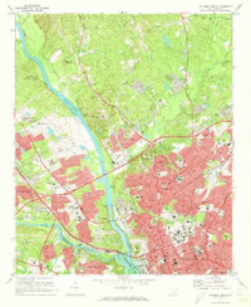
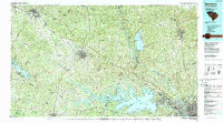
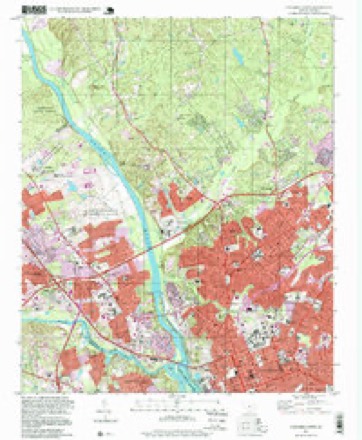
21 topographic sheets cover this place, the earliest surveyed in 1904 and the latest in 1997. It stands in the Columbia census division. It lies in ZIP code area 29203. It lies near Brice Hill. The Survey maps it on the Columbia North quadrangle.
Topographic sheets covering this place
11 surveys from 21 printed sheetsMatched by testing this settlement's coordinate against the published boundary of every sheet in the United States Geological Survey's historical collection. Each opens the scanned sheet at the Survey.
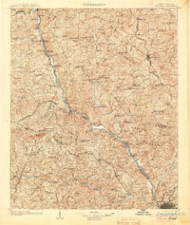
- 1904 USGS Columbia quadrangle1:125000, 2 printings
- 1941 USGS Spartanburg quadrangle1:250000
- 1947 USGS Columbia North quadrangle1:24000
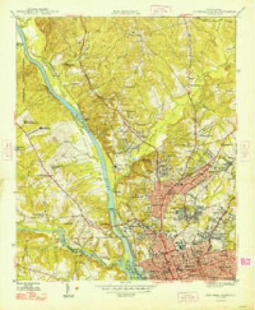
- 1948 USGS Columbia North quadrangle1:24000, 2 printings
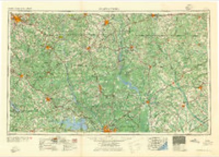
- 1953 USGS Spartanburg quadrangle1:250000, 4 printings
- 1960 USGS Spartanburg quadrangle1:250000, 2 printings
- 1963 USGS Spartanburg quadrangle1:250000
- 1964 USGS Spartanburg quadrangle1:250000
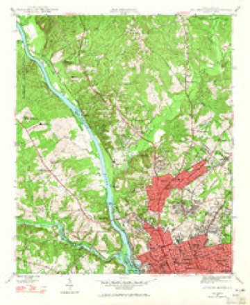
- 1972 USGS Columbia North quadrangle1:24000, 4 printings
- 1986 USGS Newberry quadrangle1:100000, 2 printings
- 1997 USGS Columbia North quadrangle1:24000

Fires near this place
147 since 1992Regional context, not property-specific evidence. The federal wildfire occurrence database lists 147 fires within 5 miles of Denny Terrace between 1992 and 2020, burning about 570 acres in total. 1 started naturally. 21 were recorded as arson. Distance is straight-line from the map coordinates, so a fire counted here may appear on a neighbouring settlement's page as well.
| Reported cause | Fires |
|---|---|
| Missing data/not specified/undetermined | 64 |
| Misuse of fire by a minor | 31 |
| Arson/incendiarism | 21 |
| Debris and open burning | 12 |
| Equipment and vehicle use | 9 |
| Smoking | 4 |
| Recreation and ceremony | 2 |
| Railroad operations and maintenance | 2 |
| Fireworks | 1 |
| Natural | 1 |
The most recent of them, most recent first, with the day each was reported and the service that recorded it.
| Date | Cause | Size | Reported by | Name on the report |
|---|---|---|---|---|
| 9 September 1999 | Missing data/not specified/undetermined | under an acre | South Carolina Forestry Commission | not named |
| 28 September 2019 | Debris and open burning | 3.0 acres | South Carolina Forestry Commission | not named |
| 21 September 2019 | Missing data/not specified/undetermined | 4.5 acres | South Carolina Forestry Commission | not named |
| 19 September 1995 | Missing data/not specified/undetermined | under an acre | South Carolina Forestry Commission | not named |
| 16 September 2001 | Misuse of fire by a minor | under an acre | South Carolina Forestry Commission | not named |
| 30 August 2010 | Debris and open burning | under an acre | South Carolina Forestry Commission | not named |
| 22 August 2011 | Missing data/not specified/undetermined | 4.0 acres | South Carolina Forestry Commission | not named |
| 20 August 2001 | Missing data/not specified/undetermined | under an acre | South Carolina Forestry Commission | not named |
Settlements close enough to share some of these fires:
Mines and quarries near this place
10 of 15 shownRegional context, not property-specific evidence. The federal mineral resources record lists 15 workings within 5 miles of Denny Terrace: 7 past producers, 6 producers, 2 unknowns. 6 still produce. What was taken out: Clay, Granite, Stone, Crushed/Broken, Stone, Crushed/Broken, Stone, Crushed/Broken, Stone, Dimension, Granite. Distance is straight-line from the map coordinates, so a quarry counted here may appear on a neighbouring settlement's page as well.
| Where | Site | Commodity | Status | Recorded |
|---|---|---|---|---|
| Green Hole | Stone, Crushed/Broken, Stone, Dimension, Granite | Past Producer | Igneous | |
| Smith Properties Mine | Sand and Gravel, Construction | Past Producer | Sedimentary | |
| Columbia North Quarry | Granite, Stone, Crushed/Broken | Producer | Igneous | |
| Dreyfus Quarry | Granite, Stone, Crushed/Broken | Producer | Igneous | |
| Dreyfus Quarry | Stone, Crushed/Broken | Producer | ||
| North Columbia Quarry | Stone, Crushed/Broken | Producer | ||
| Brick Plant No. 2 | Clay | Past Producer | ||
| Brick Plant No. 4 | Clay | Past Producer | ||
| Broad River Mine | Clay | Producer | ||
| Broad River Shale | Clay | Past Producer | Metamorphic |
Storms near this place
32 since 2007Regional context, not property-specific evidence. The National Weather Service names Denny Terrace in 32 storm reports between 2007 and 2025: 17 thunderstorm wind, 10 flash flood, 2 hail, 1 tornado. The reports record 1 death and 1 injury. Each account below is quoted exactly as the forecast office filed it, from the NOAA Storm Events Database, and each date opens the federal record of that event.
| When | Event | Place named | Harm | What the report says |
|---|---|---|---|---|
| October 2015 | Flash Flood | Denny Terrace | 1 killed, 1 hurt, $800,000 | SC Highway Patrol reports Monticello Road at I-20 closed due to flooding. Male driver drowned in his vehicle on Peeples Street near Crane Creek. The victim was found at 1100 PM EDT on the 5th. |
| October 2015 | Flash Flood | Denny Terrace | $1,000,000 | NWS employee reports Piney Woods Road flooded. |
| October 2015 | Flash Flood | Denny Terrace | $1,000,000 | SC Highway Patrol reports Peeples Street at Monticello Road closed due to flooding. |
| October 2015 | Flash Flood | Denny Terrace | $800,000 | SC Highway Patrol reports Monticello Road at I-20 closed due to flooding. |
| March 2012 | Tornado (EF0) | Denny Terrace | $30,000 | An EF0 tornado touched down just west of Monticello road on the back end of Columbia International University then crossed the intersection of Houston Street and Bishopville Ave. Theo tornado continued with intermittent touchdown east to Patton Lane. Many trees and large branches were down, some which fell on a mobile home doing minor damage. |
| March 2012 | Thunderstorm Wind | Denny Terrace | $12,000 | SKYWARN Spotters reoprted antennas and trees down across northern Richland county from southeast of Irmo to the Kershaw county line. |
| August 2024 | Flash Flood | Denny Terrace | $10,000 | SCHP reported a roadway washout at Blue Ridge Terrace and Monticello Rd. |
| July 2015 | Flash Flood | Denny Terrace | $10,000 | Several social media posts reported flash flooding in northwest Richland County from near the Harbison Mall to around the Linrick Golf Club area. |
| August 2009 | Thunderstorm Wind | Denny Terrace | $6,000 | DOT and public reported many trees down on hwy 215, at the Oak Hills Golf Course, and Koon Store road. |
| June 2022 | Lightning | Denny Terrace | $5,000 | Structure fire due to lightning on Hertford Dr. Extent of damage unknown. |
| April 2015 | Thunderstorm Wind | Denny Terrace | $3,000 | Highway Patrol reported trees down across the road at the intersection of Hutchinson Street and Blue Ridge Terrace. |
| March 2012 | Thunderstorm Wind | Denny Terrace | $3,000 | Sheriff reoprted trees down at Broad River road and Haviland Circle. |
| October 2011 | Thunderstorm Wind | Denny Terrace | $3,000 | Highway Patrol reported trees down on I-20 nar Mile Marker 68. |
| August 2020 | Flash Flood | Denny Terrace | $2,000 | Multiple vehicles were flooded in an apartment complex parking lot. The water did not reach the buildings. |
| September 2015 | Flash Flood | Denny Terrace | $2,000 | Sheriff reported 3 to 4 feet of water covering the 5300 block of Broad River Road near Youth Services Drive. |
| August 2024 | Flash Flood | Denny Terrace | $1,000 | SCHP reported flooding over Dubard Boyle Rd due to the creek overflowing its banks and flowing over the road. |
| August 2014 | Heavy Rain | Denny Terrace | $1,000 | SCHP reported road flooding on Broad River road between St. Andrews and Irmo. |
| June 2025 | Thunderstorm Wind | Denny Terrace | - | Video posted on social media of numerous trees down along I20 near the bridge over the Broad River on the Richland County side. Trees were blocking the right two lanes of traffic. Time estimated based on radar. |
| July 2024 | Flash Flood | Denny Terrace | - | SC Department of Public Safety reported roadway flooding due to Crane Creek overflow on Monticello Road. |
| May 2022 | Thunderstorm Wind | Denny Terrace | - | SC Highway Patrol reported the roadway blocked by a tree along Monticello Road near I-20. |
| May 2022 | Thunderstorm Wind | Denny Terrace | - | SC Highway Patrol reported a tree in the roadway on Winterwood Road. Time estimated by radar. |
| July 2022 | Thunderstorm Wind | Denny Terrace | - | Highway patrol reported trees down blocking the I-20 WB on-ramp at Monticello Rd. |
| June 2022 | Thunderstorm Wind | Denny Terrace | - | SCHP reported trees down blocking roads at Piney Woods Rd and Suber Rd. Time estimated. |
| June 2022 | Thunderstorm Wind | Denny Terrace | - | SCHP reported trees down at Crane Church Rd at Slab Pile Rd. Time estimated. |
| June 2022 | Thunderstorm Wind | Denny Terrace | - | SCHP reported trees down at I-20 and Monticello Rd. Time estimated. |
| January 2020 | Thunderstorm Wind | Denny Terrace | - | Fire Dept reported a tree falling on an apartment building. |
| June 2019 | Thunderstorm Wind | Denny Terrace | - | A line of severe thunderstorms produced damaging winds along a large swath, downing multiple trees in multiple locations. |
| September 2019 | Thunderstorm Wind | Denny Terrace | - | SCHP reported tree in roadway on Denny Rd and Bishop Ave. Time estimated. |
| July 2017 | Thunderstorm Wind | Denny Terrace | - | Trees down on Blue Ridge Terrace, Blue Ridge Lane, and Monticello Rd. |
| June 2016 | Hail | Denny Terrace | - | Public reported one inch diameter hail. |
| July 2016 | Hail | Denny Terrace | - | Public reported quarter size hail at Columbia International University. |
| June 2007 | Thunderstorm Wind | Denny Terrace | - | Highway Patrol reported several trees down on I-26 between Lake Murray Bldv and Harbison Blvd. |
Nearest settlements
The eight closest, with where each one stands in the county. Distances are straight-line, computed from the Geographic Names Information System coordinates.
| Map | Place | Distance | Sheets |
|---|---|---|---|
| Dunston Hills | 0.3 miles | 21 | |
| Munster | 0.8 miles | 21 | |
| Baronywood | 1.1 miles | 21 | |
| Byrneswood | 1.3 miles | 21 | |
| Frost | 1.4 miles | 21 | |
| Pine Forest | 1.4 miles | 21 | |
| Barony | 1.5 miles | 21 | |
| Pine Valley | 1.6 miles | 21 |
Elsewhere
Matched on this settlement's Geographic Names Information System number rather than its name, so it cannot be a different place of the same name in another state.
| Wikidata item Q122549638 | The structured record the population and elevation above come from. Public domain (CC0). |
Provenance
This settlement is recorded in the Geographic Names Information System as feature 1231222. The sheet list is computed by point-in-boundary test against the United States Geological Survey's historical topographic inventory. Both are works of the United States government and carry no copyright under 17 U.S.C. 105.
Wildfire. Short, Karen C. 2022. Spatial wildfire occurrence data for the United States, 1992-2020 [FPA_FOD_20221014]. 6th Edition. Fort Collins, CO: Forest Service Research Data Archive. https://doi.org/10.2737/RDS-2013-0009.6 Collected with United States Government funding and usable without additional permissions or fees.
Mines and quarries. USGS Mineral Resources Data System (MRDS) https://mrdata.usgs.gov/mrds/ A work of the United States government, no copyright under 17 U.S.C. 105.
Storms. NOAA National Centers for Environmental Information, Storm Events Database https://www.ncei.noaa.gov/stormevents/ A work of the United States government, no copyright under 17 U.S.C. 105. Narratives are quoted verbatim from the National Weather Service report and are not edited or summarised.