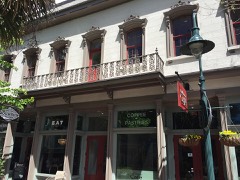
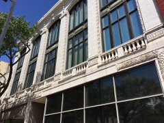
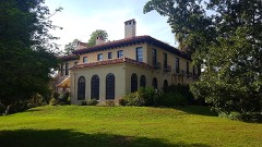
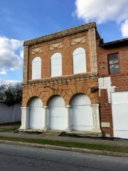
Block
From the record
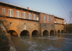
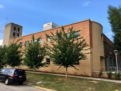
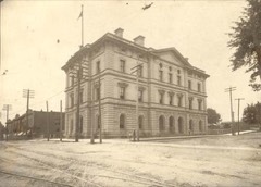
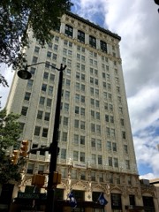
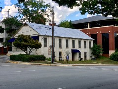
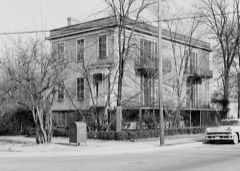
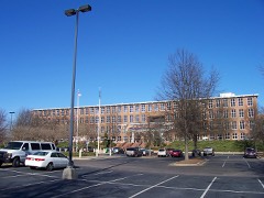
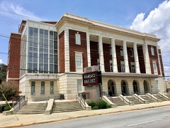
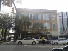
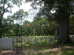
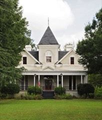
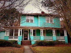
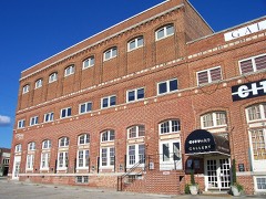
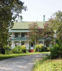
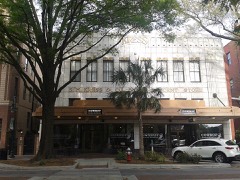
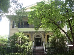
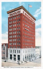
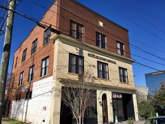
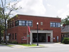
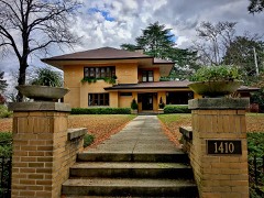
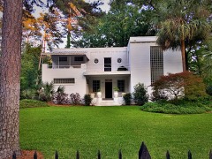
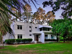
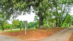
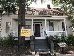
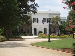
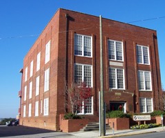
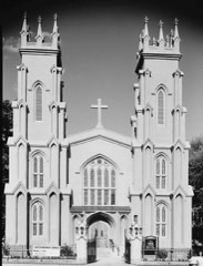
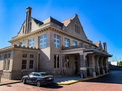
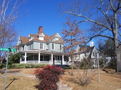
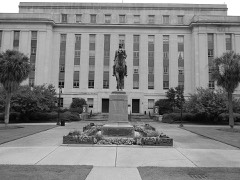
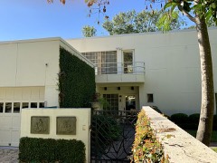
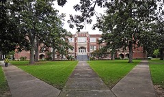
181 National Register listings published here, 5 of them National Historic Landmarks.
Sources: the National Register database, National Park Service
110 topographic sheets and 12 fire insurance atlases across 1 place.
181 National Register listings published here, 5 of them National Historic Landmarks.
Sources: the National Register database, National Park Service
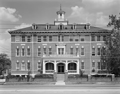
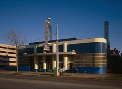
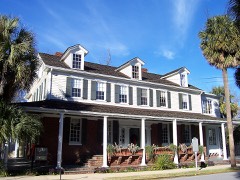
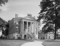
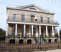
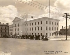
Taken for the Office of War Information and the Farm Security Administration, who photographed the country between 1935 and 1944. Works of United States government photographers, with no known restriction on use. Each opens its catalogue record.
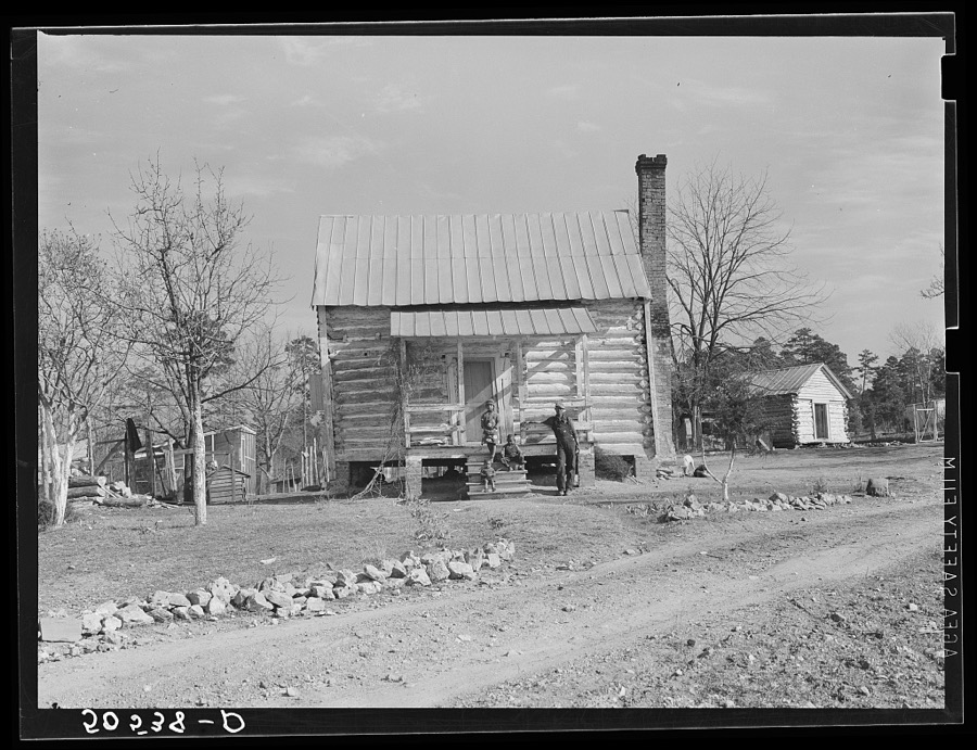

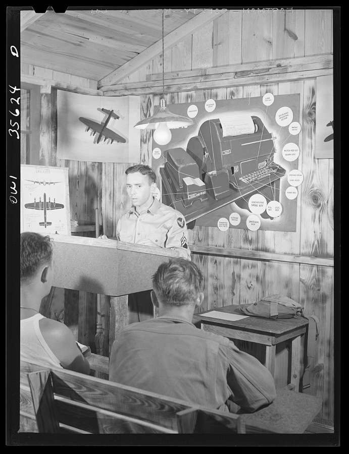
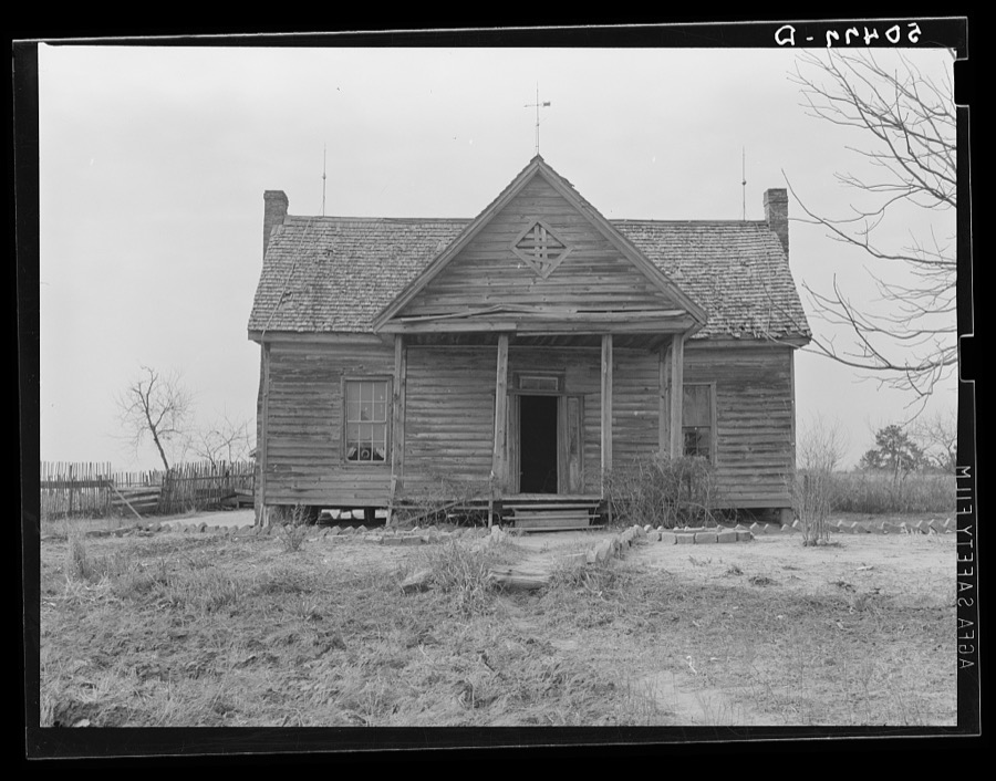
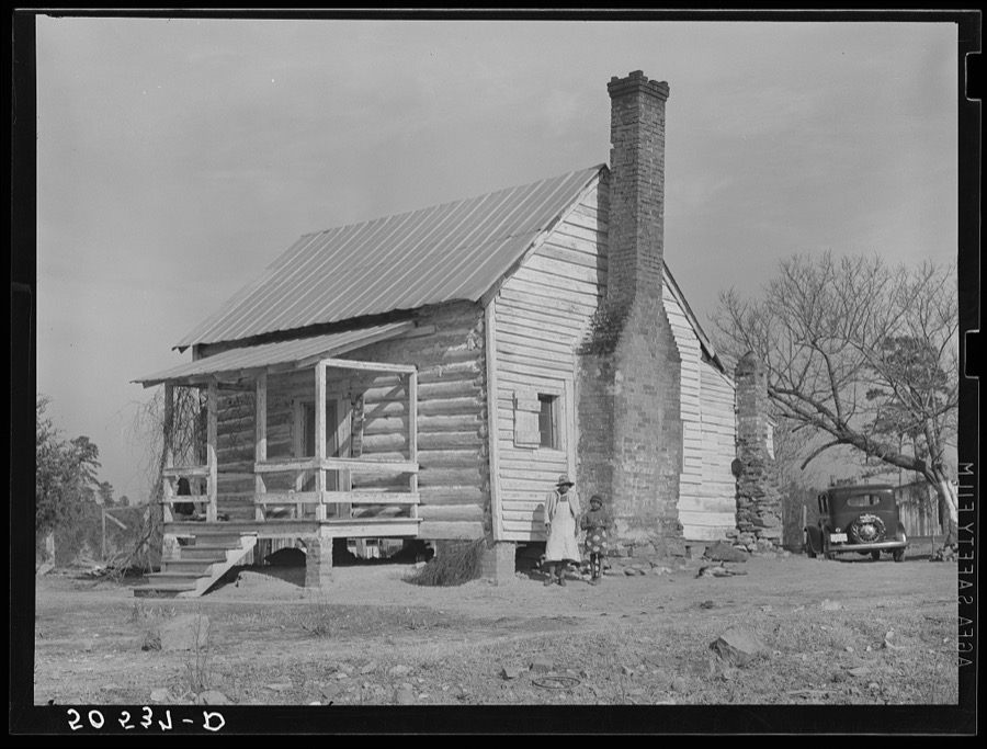
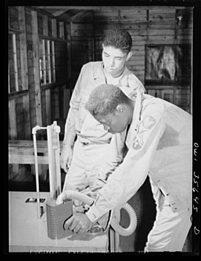
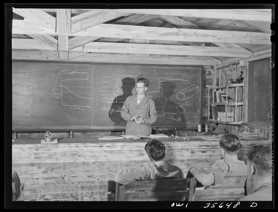
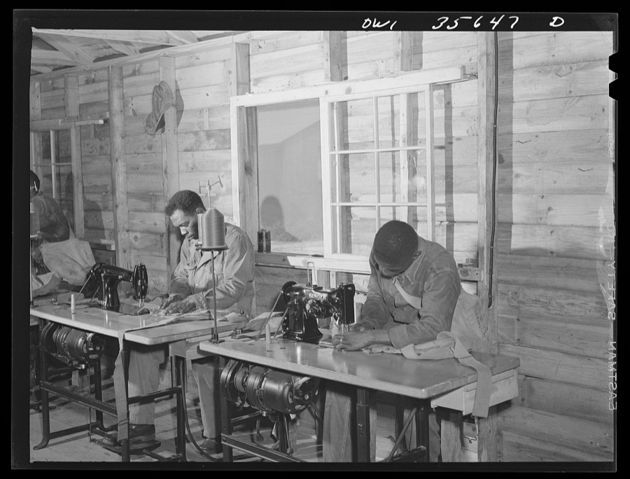
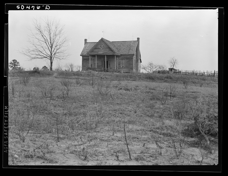
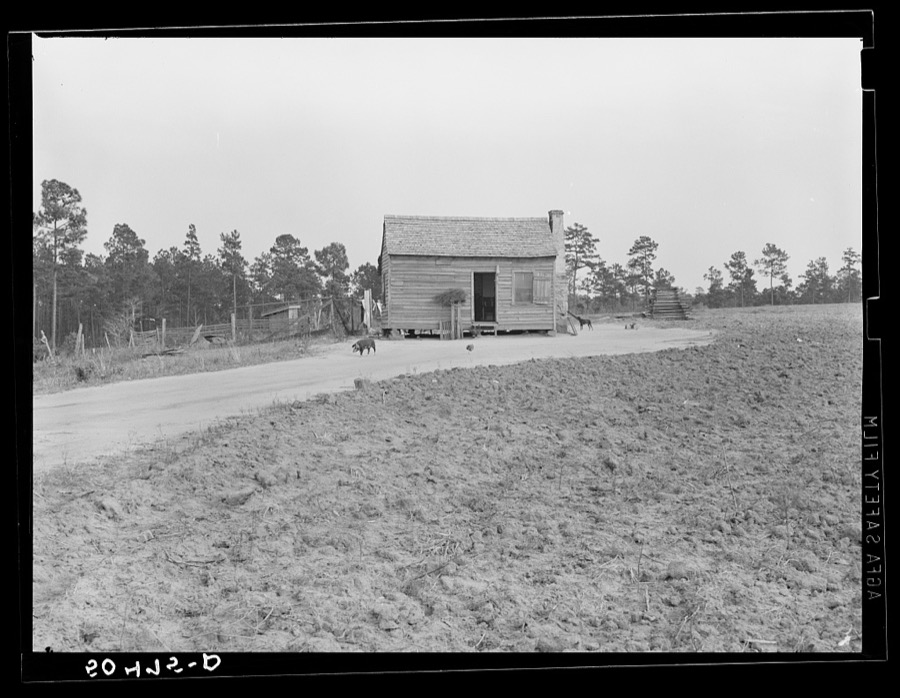
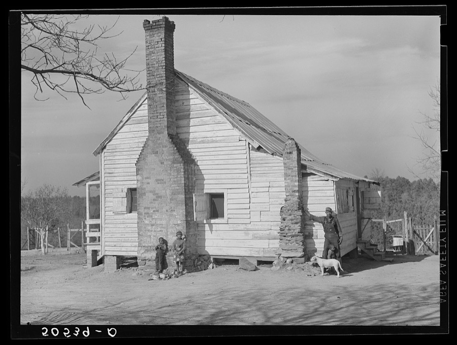
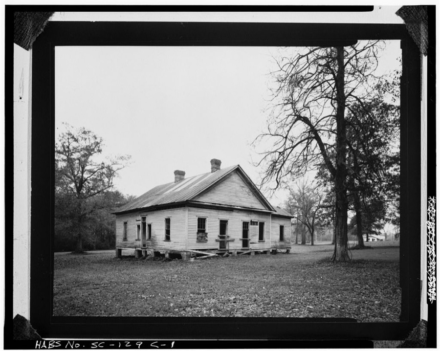
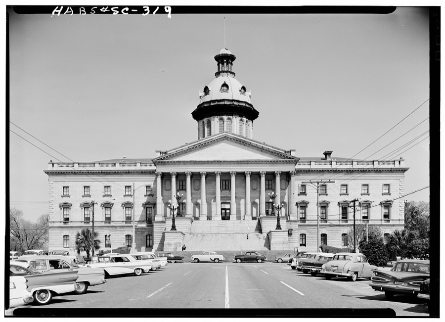
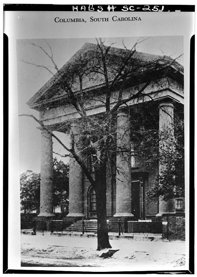
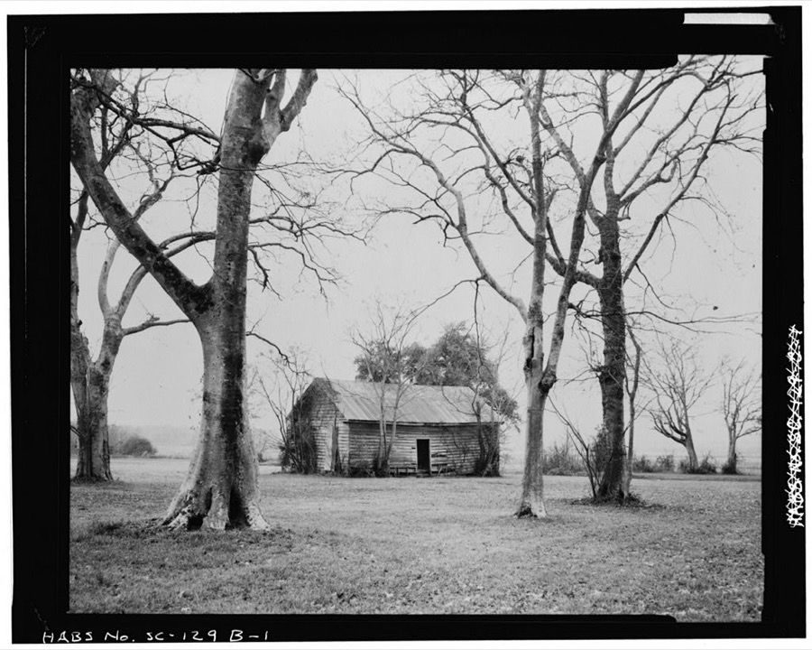
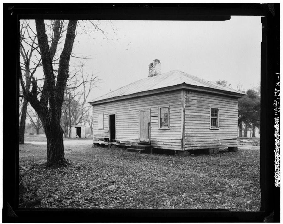
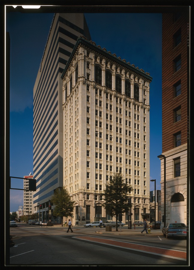
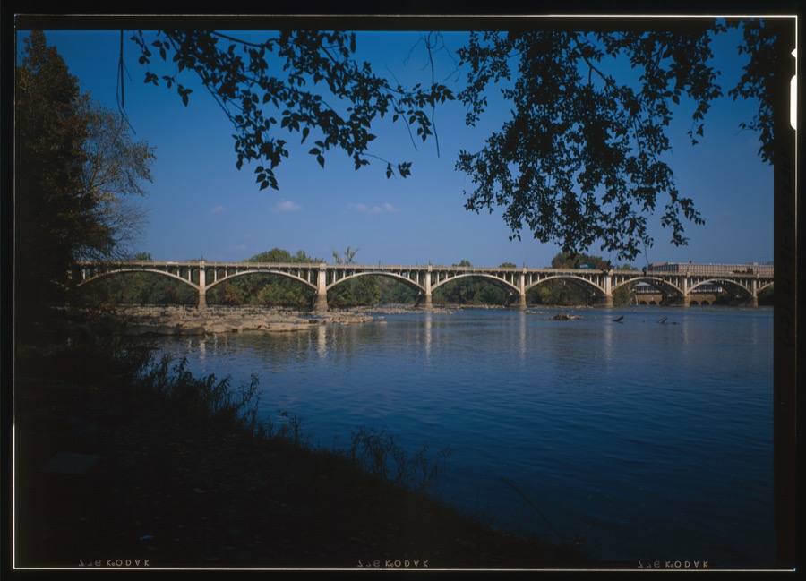
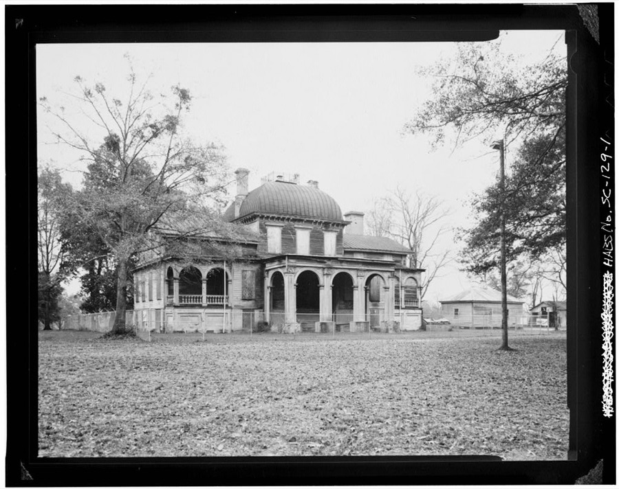
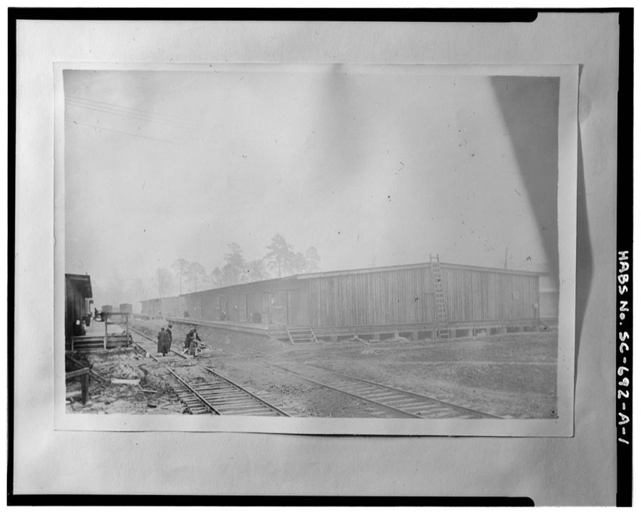
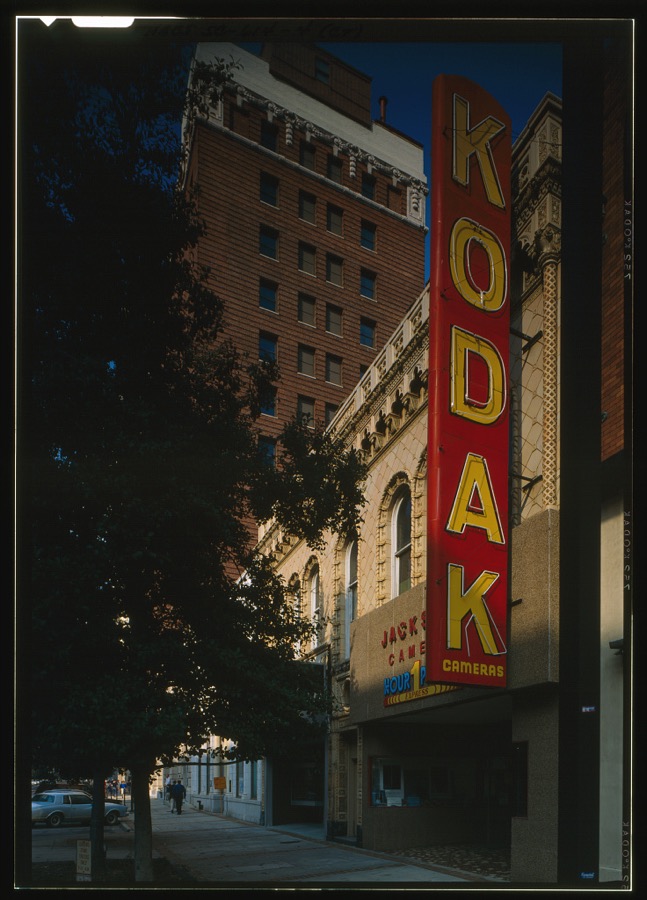
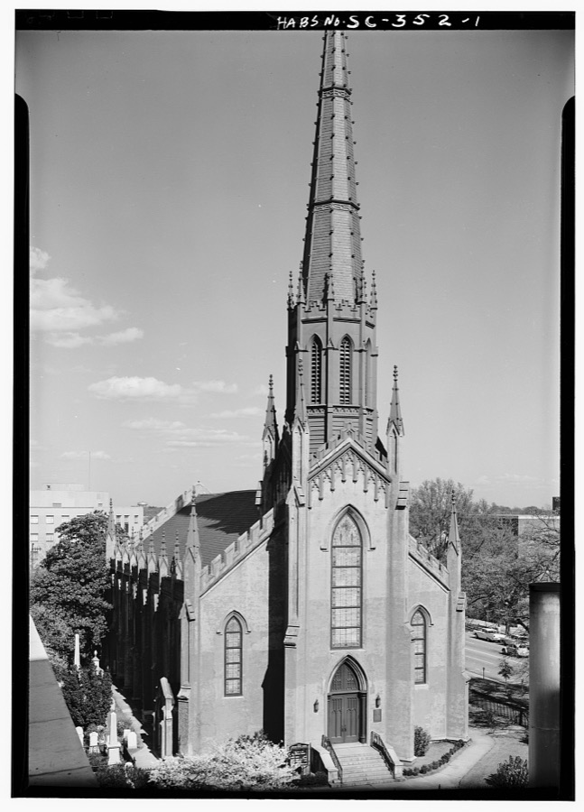
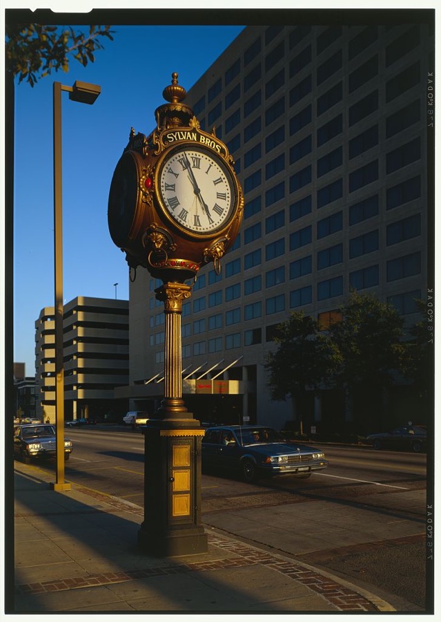
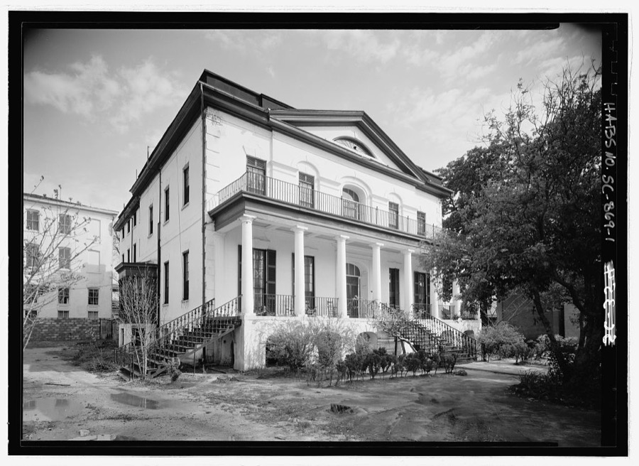
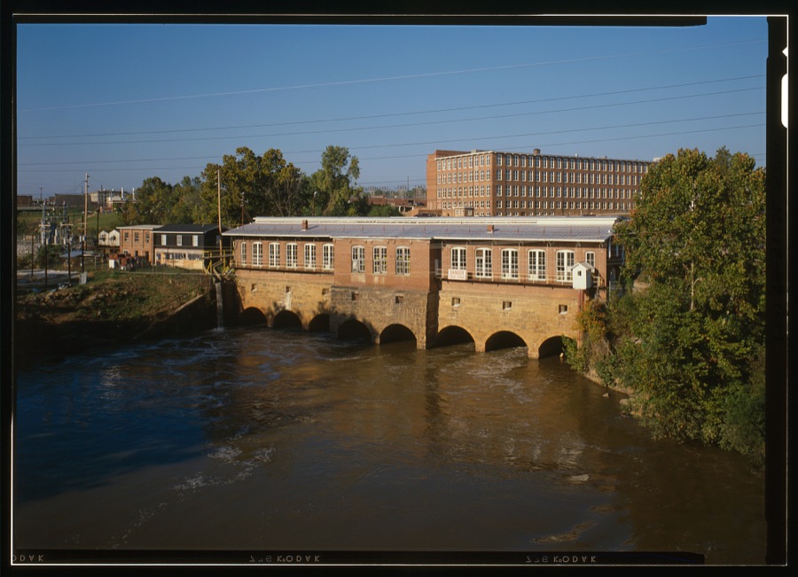
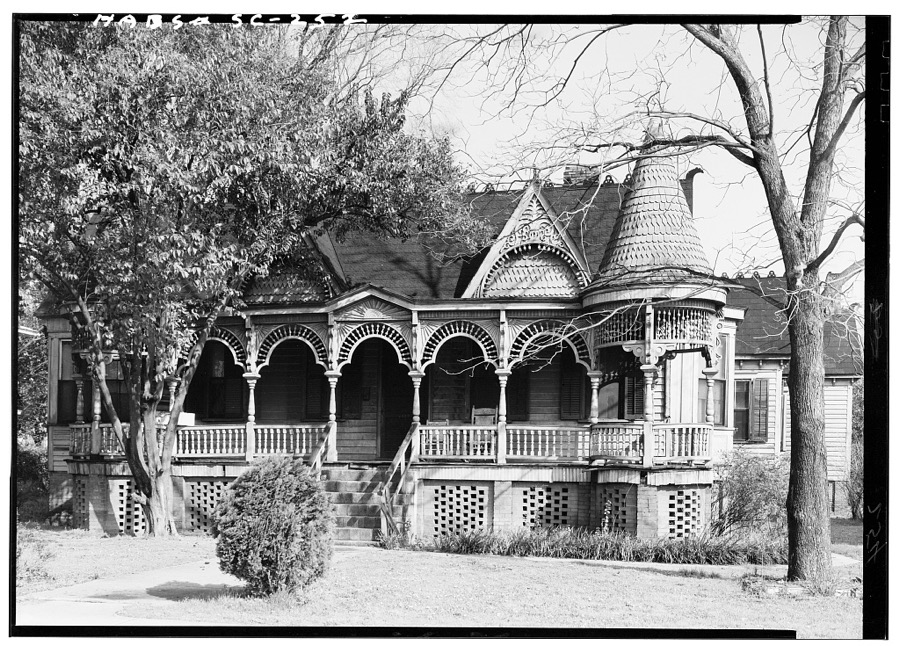
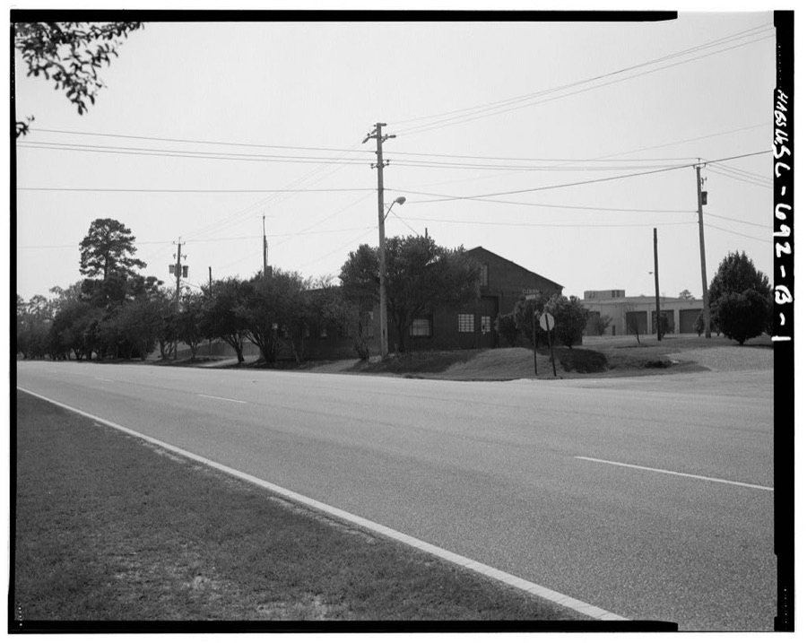
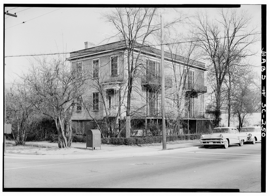
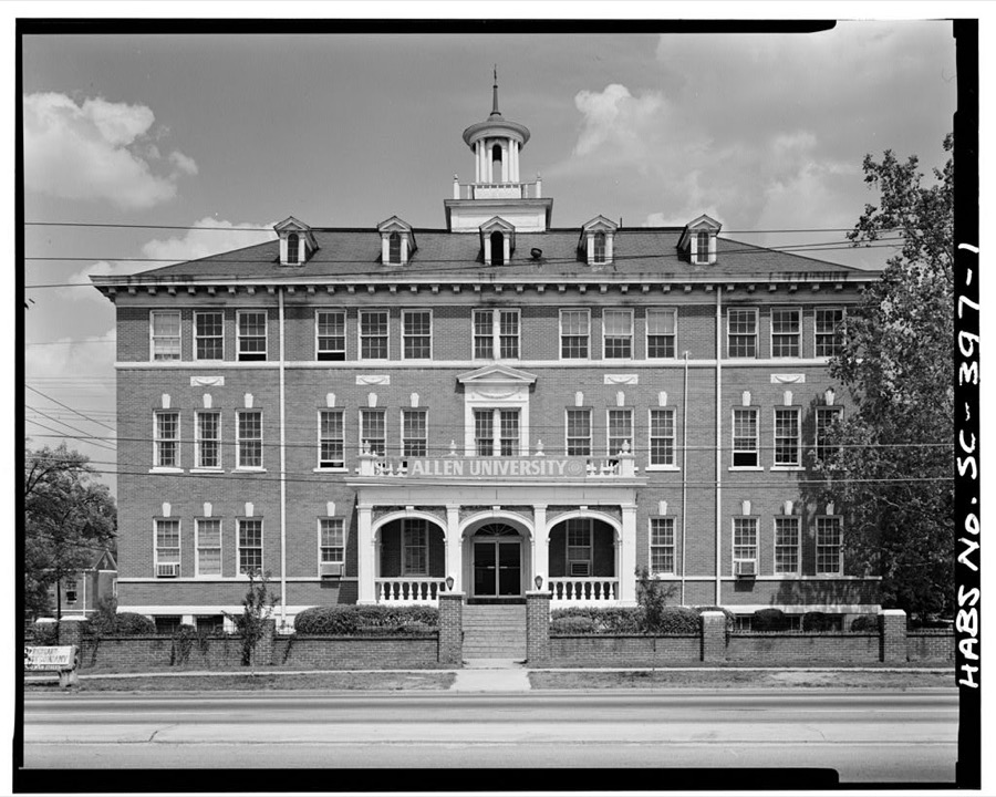
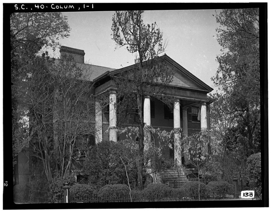
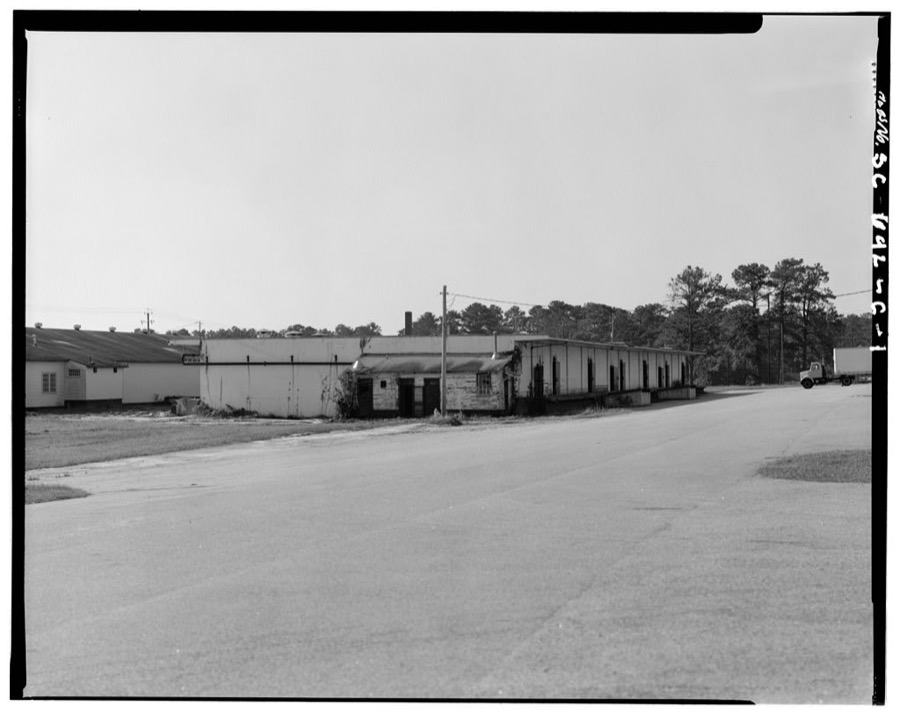
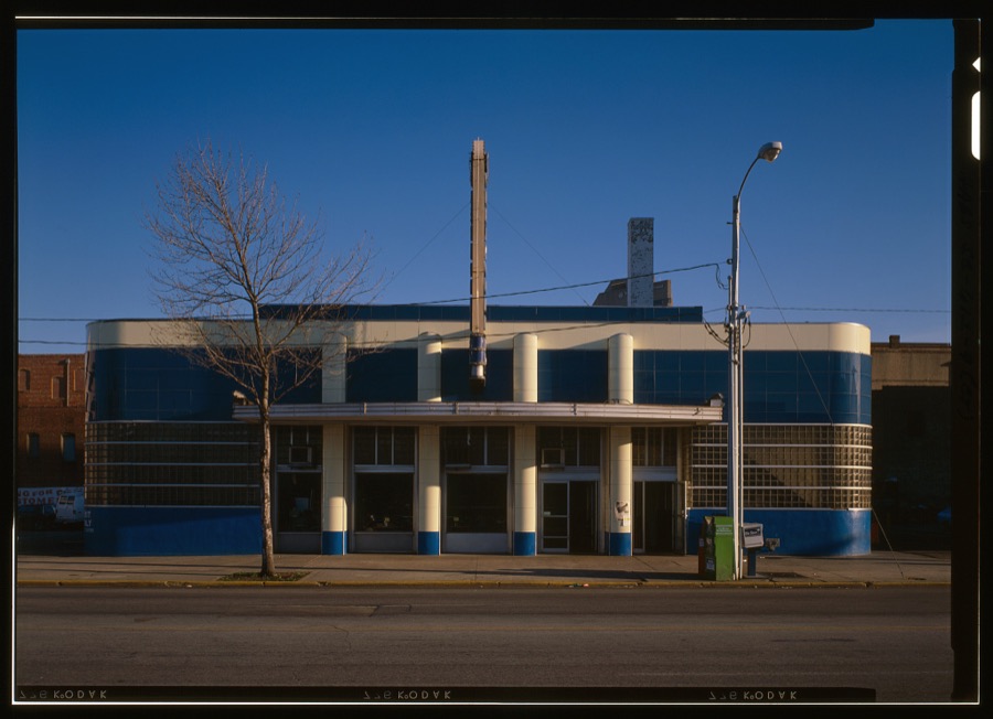
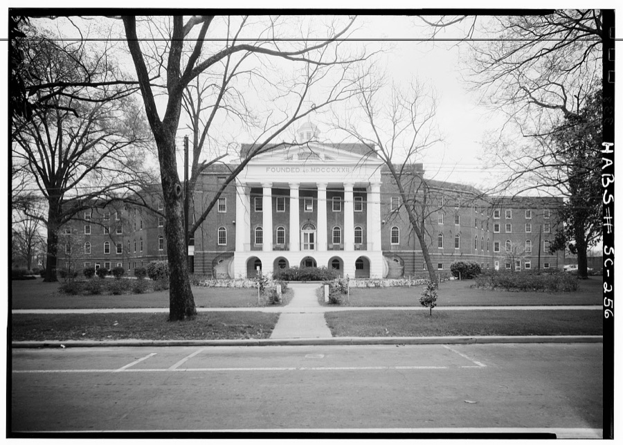
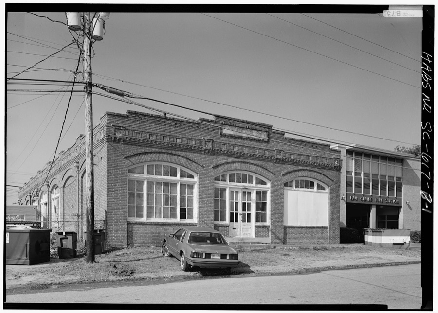
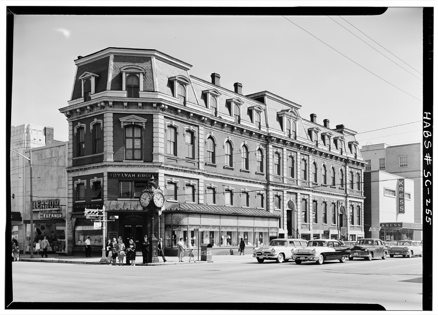
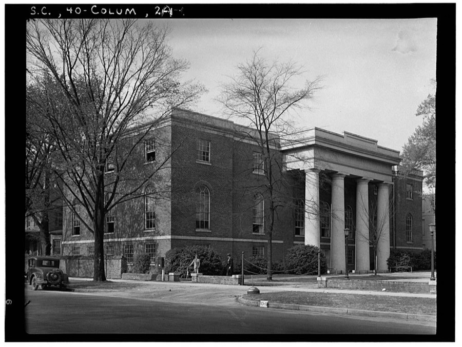
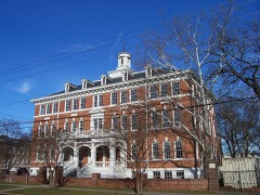
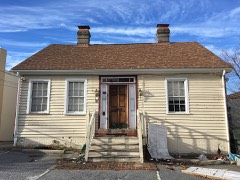
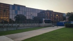
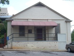
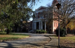
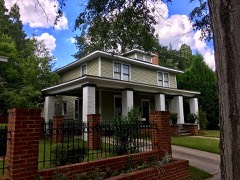
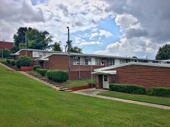
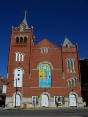
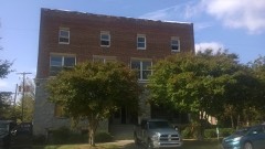
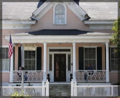
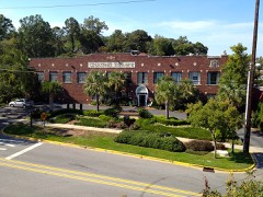
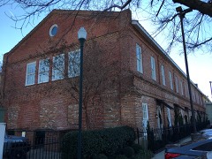
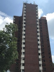
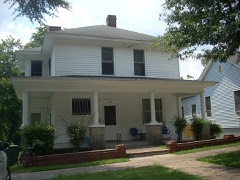
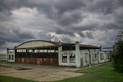
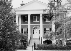
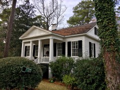
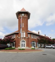
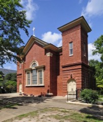
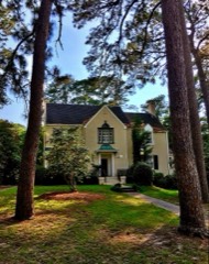
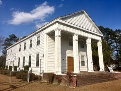
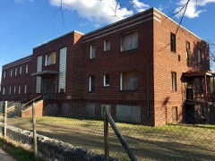
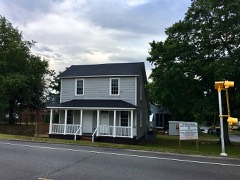
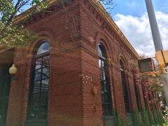
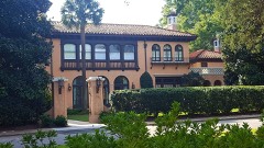
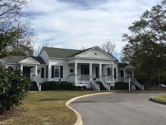
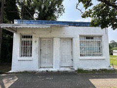
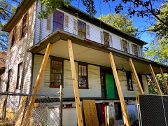
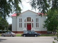
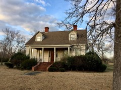
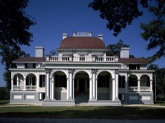
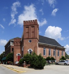
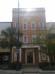
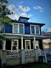
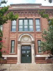
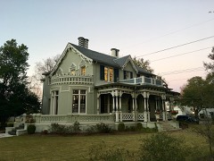
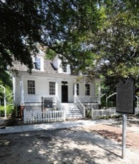
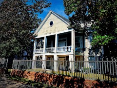
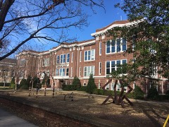
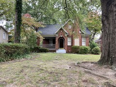
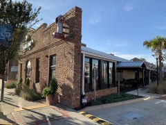
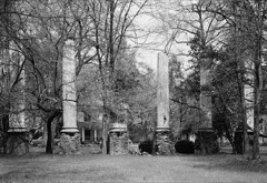
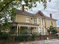
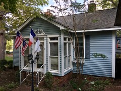
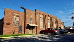
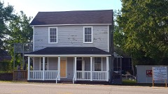
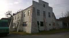
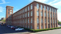
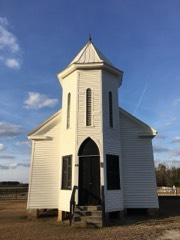
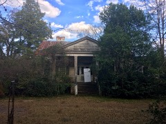
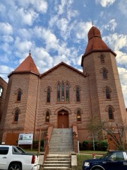
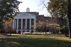
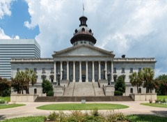
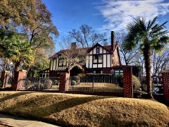
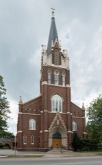
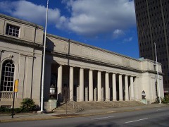
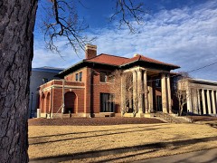
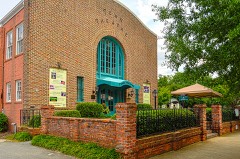
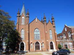
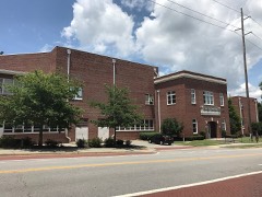
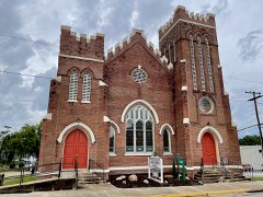
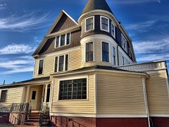
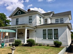
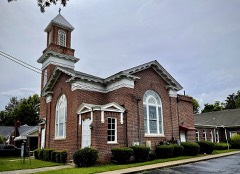
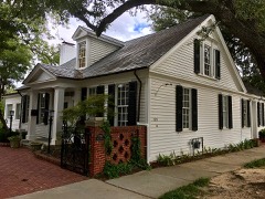
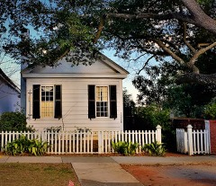
Every property in this county listed on the National Register of Historic Places, with the year it was listed and the federal nomination document.
Sampled issues, machine-read from the Library of Congress scan and published page by page, so every headline and column is searchable text.
Columbia, S.C., 1893 to 1925. Machine-read from the Library of Congress scan.
Columbia, S.C., 1903 to 1925. Machine-read from the Library of Congress scan.
Columbia, S.C., 1865. Machine-read from the Library of Congress scan.
[Columbia, S.C.], 1865 to 1875. Machine-read from the Library of Congress scan.
Columbia, S.C., 1865. Machine-read from the Library of Congress scan.
Columbia, S.C., 1865. Machine-read from the Library of Congress scan.
Columbia, S.C., 1865 to 1878. Machine-read from the Library of Congress scan.
Columbia, S.C., 1878 to 1879. Machine-read from the Library of Congress scan.
Columbia, S.C., 1839 to 1841. Machine-read from the Library of Congress scan.
Columbia, S.C., 1841 to 1851. Machine-read from the Library of Congress scan.
Drawn when these were printed as single large sheets: the town seen from the air, and the county divided into its farms with every owner named. Each opens the original at the Library of Congress.
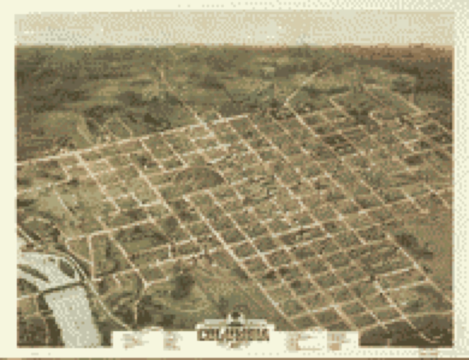
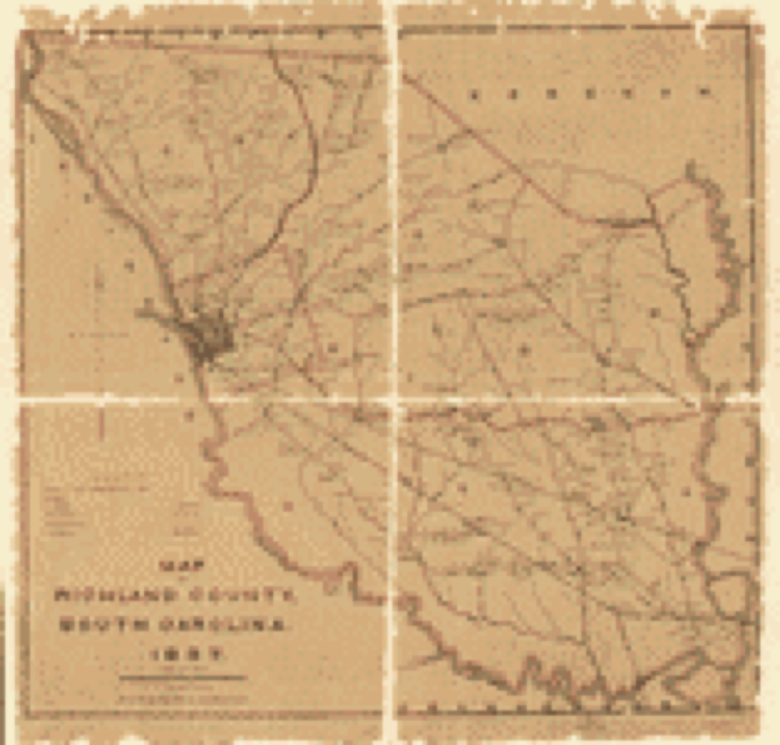

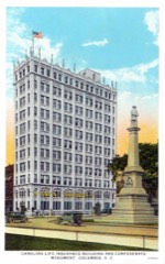
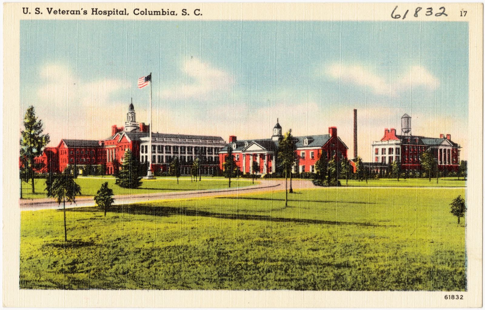
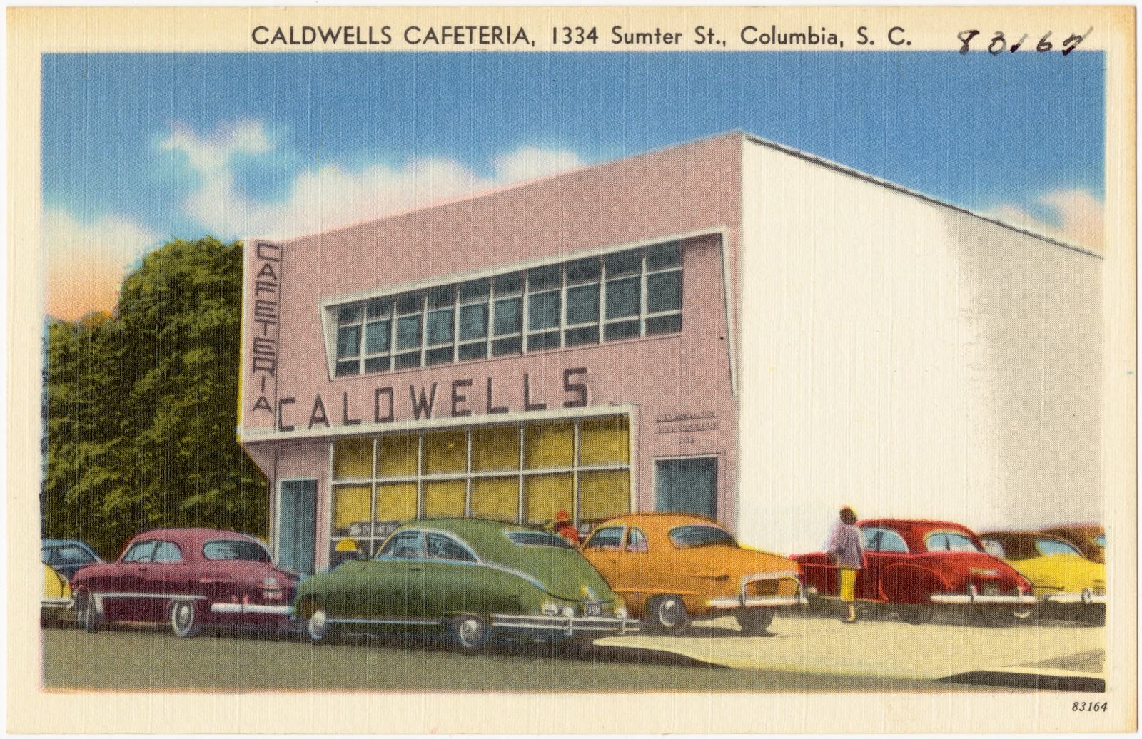
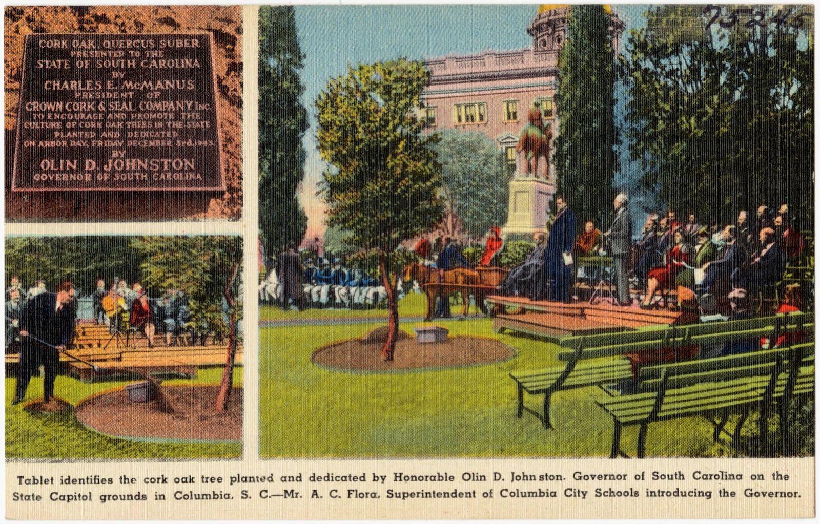
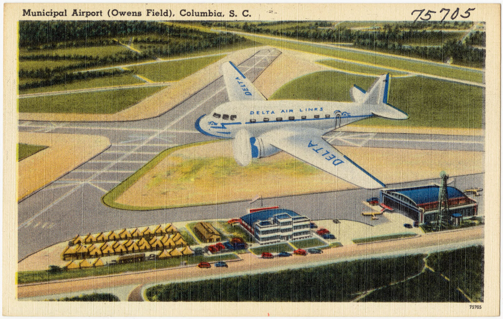
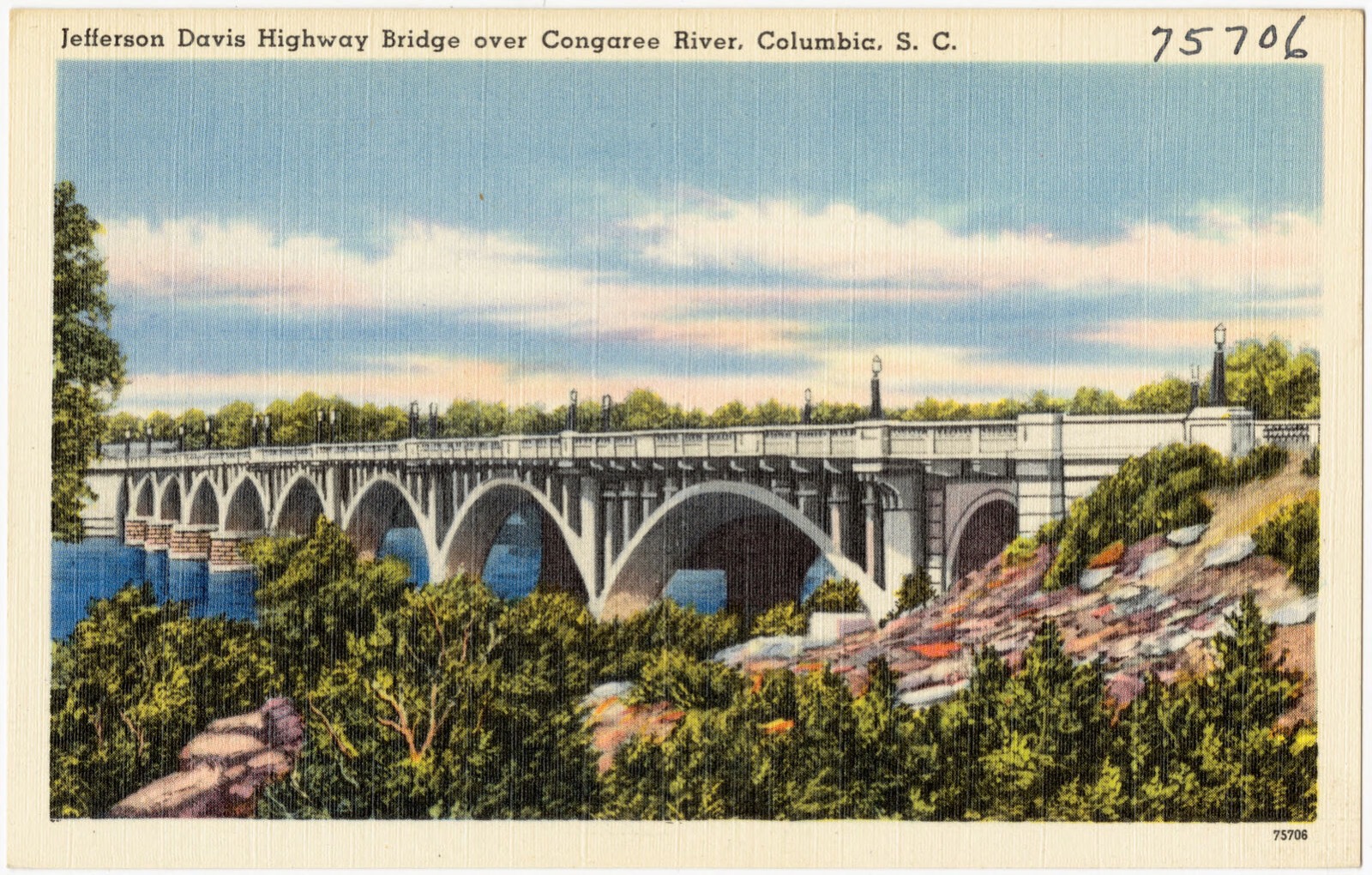
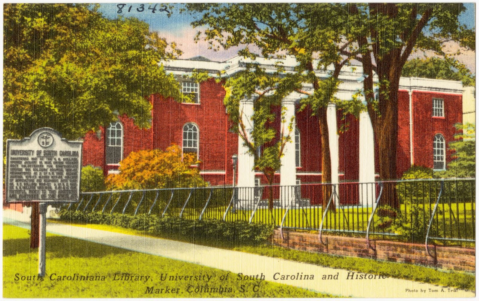
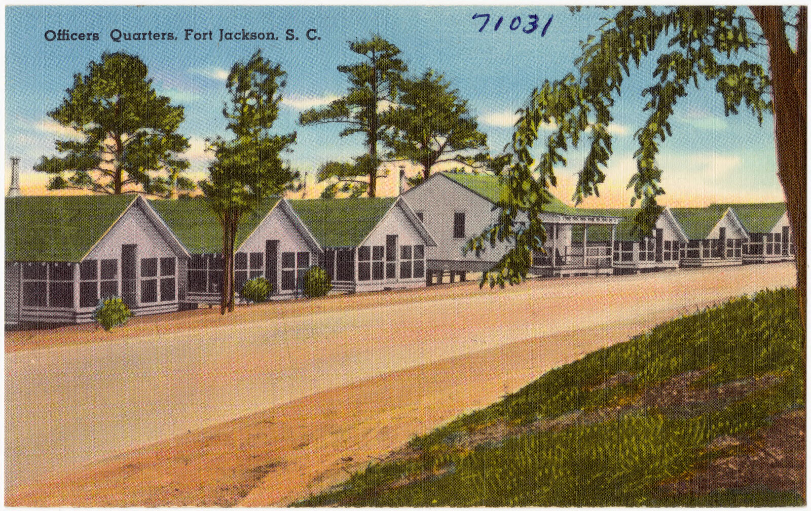
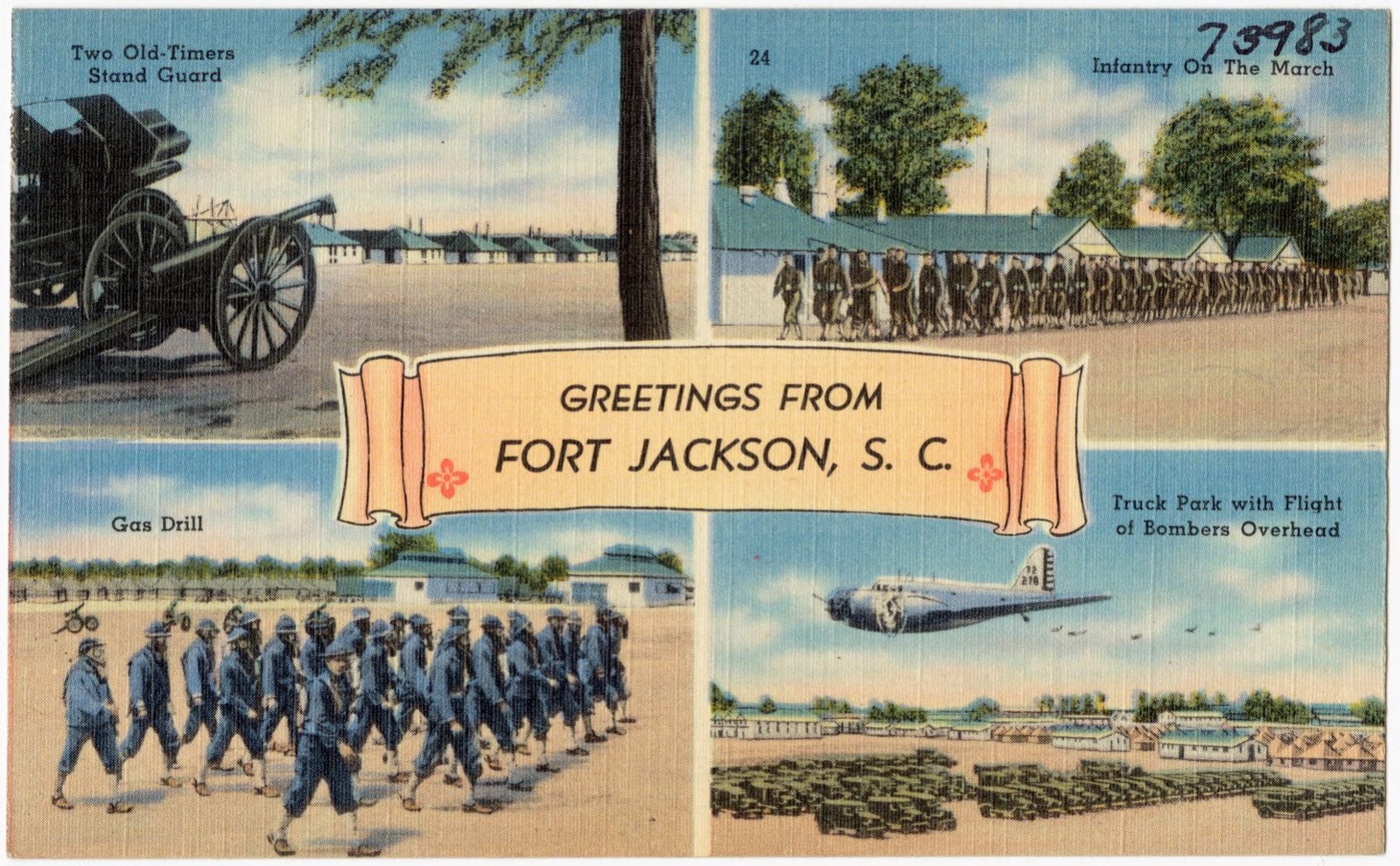
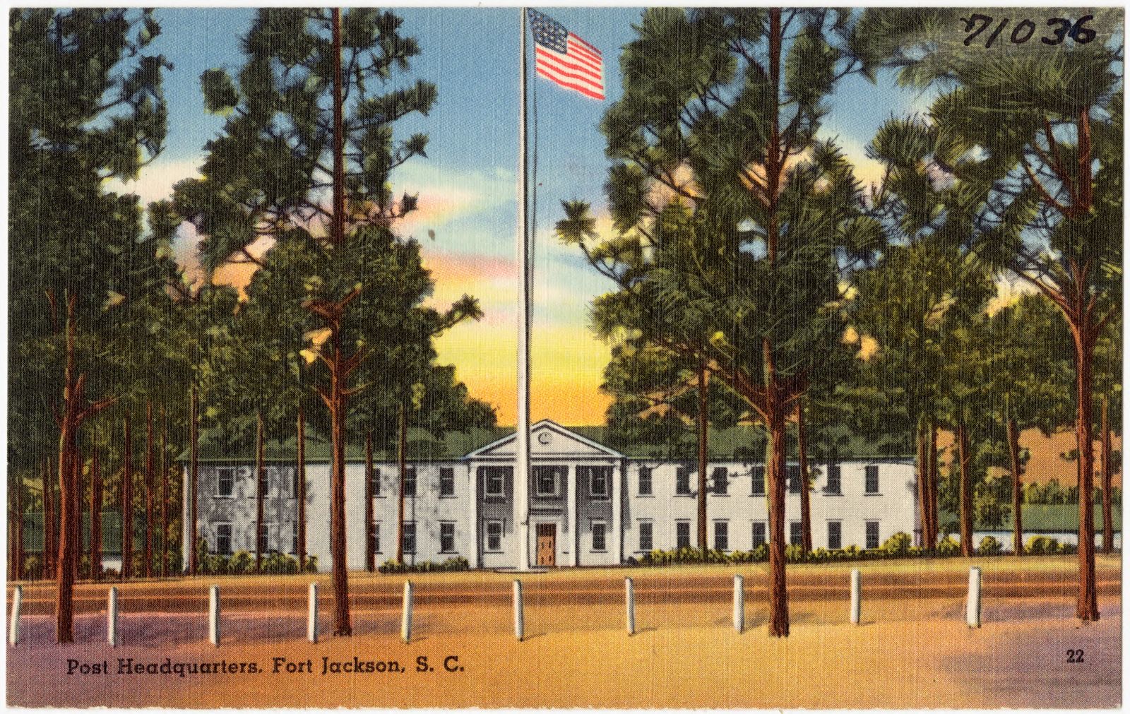
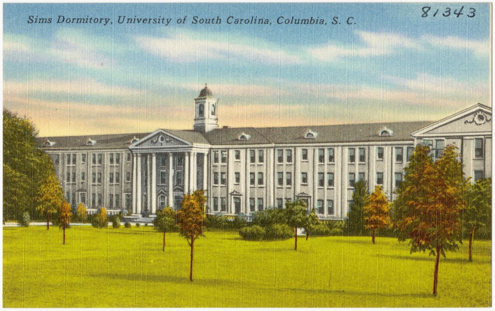
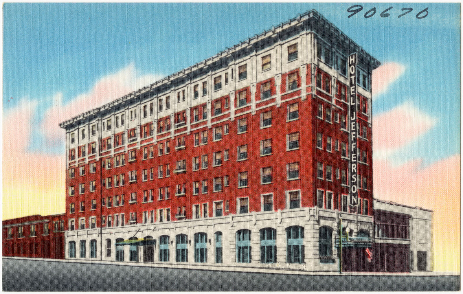
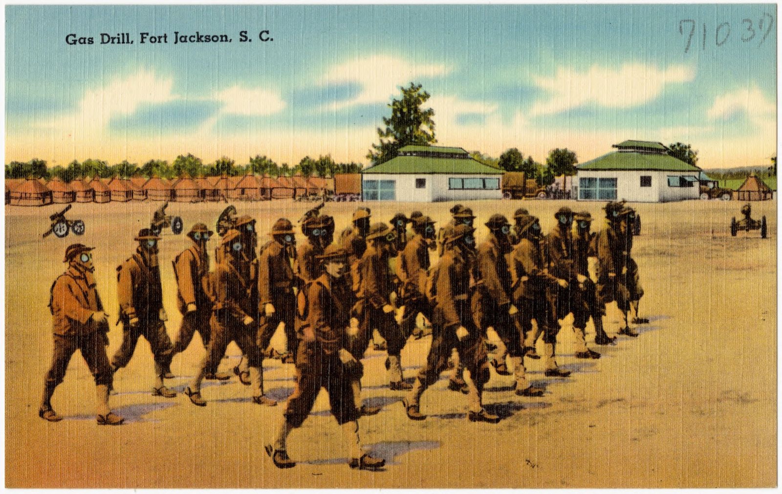
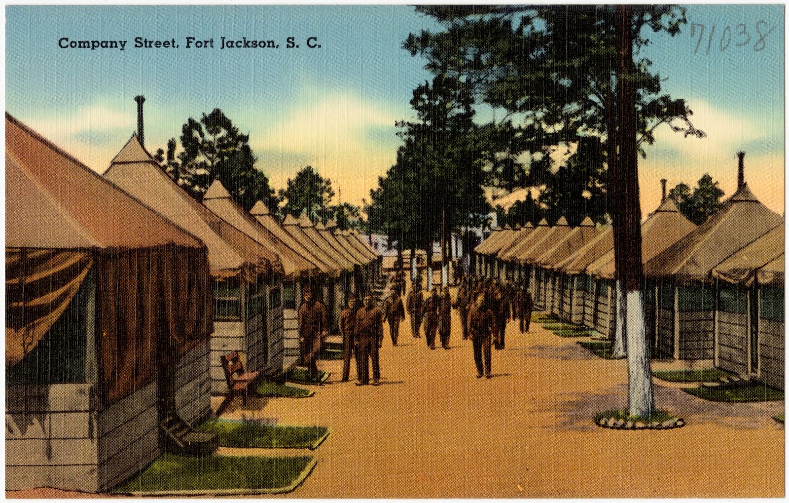
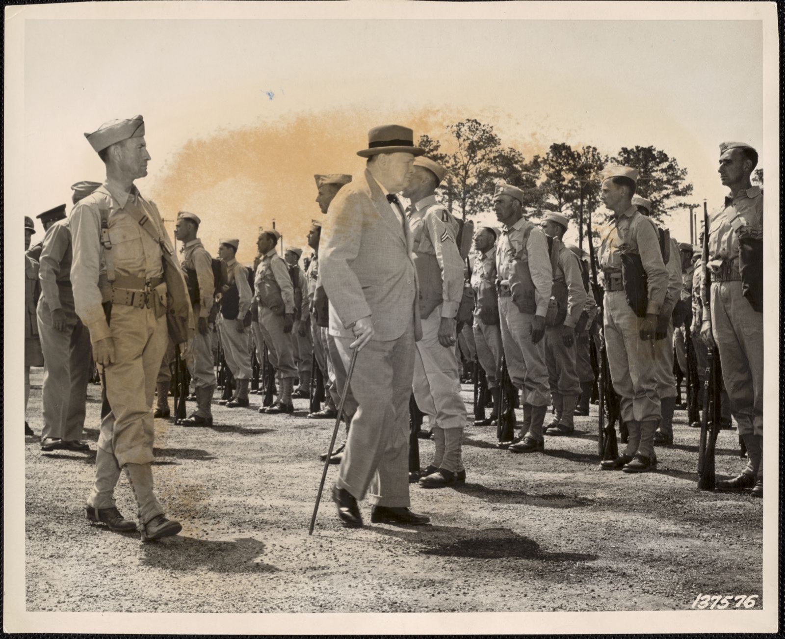
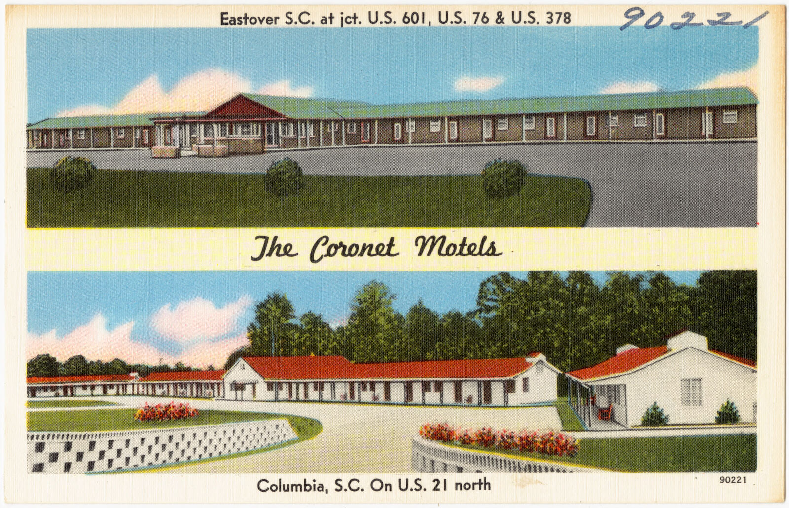
Selected from the Digital Public Library of America's 83 image records catalogued for this county. Every one shown here carries a public-domain status or a licence that permits reuse on a site that carries advertising; non-commercial, share-alike and restricted images are excluded. The selection is spread across the county's towns (at most eight per town), so no single institution's bulk upload crowds out the rest. Each opens the holding library's record, and the complete set at the Digital Public Library of America is one click away.

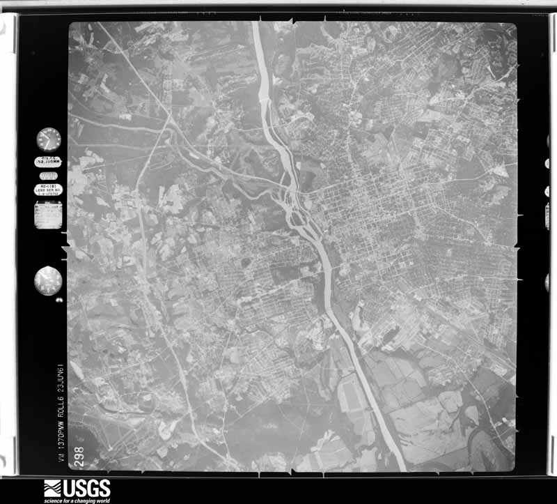
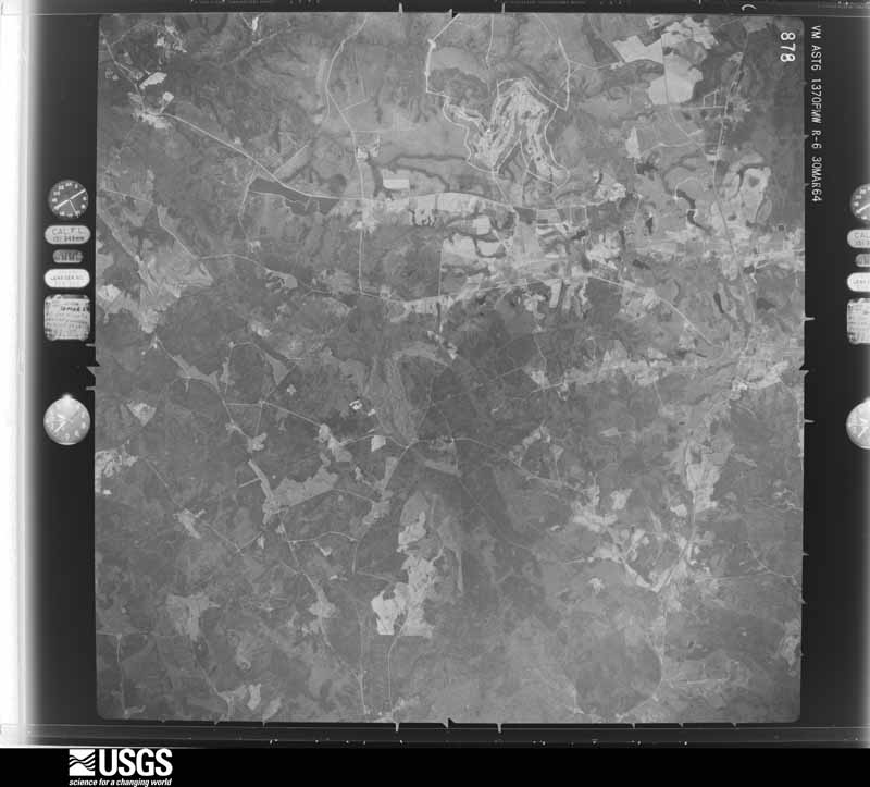
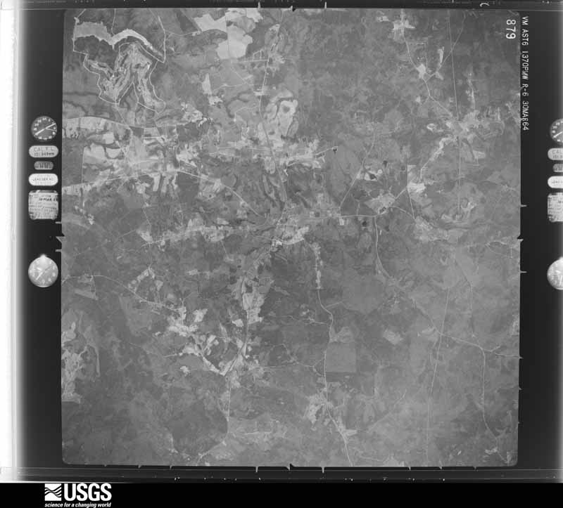
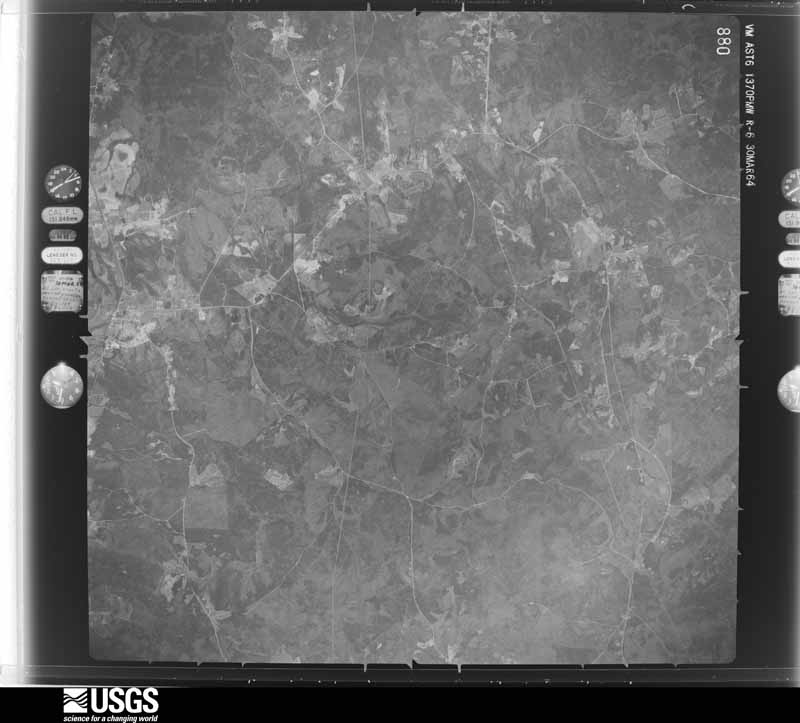
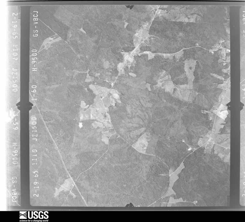
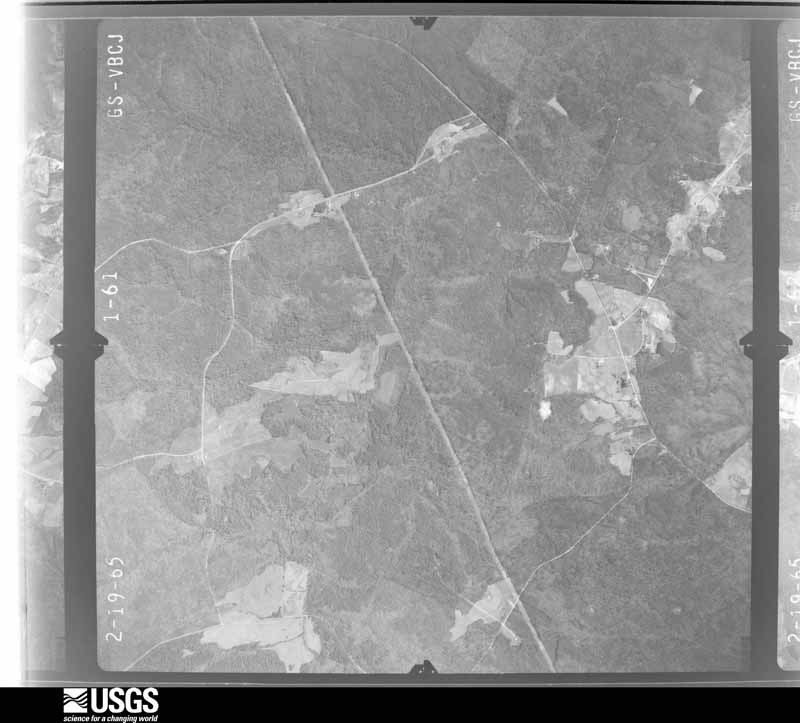
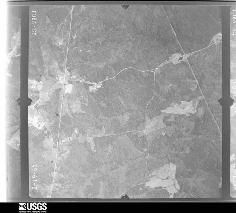
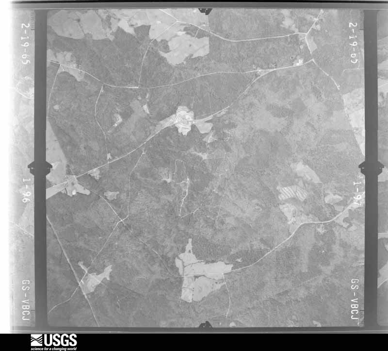
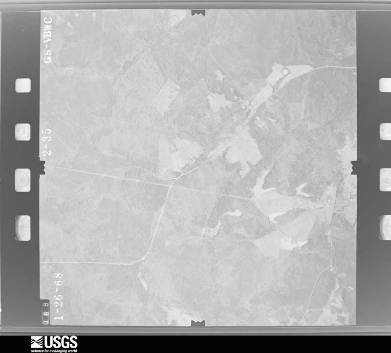
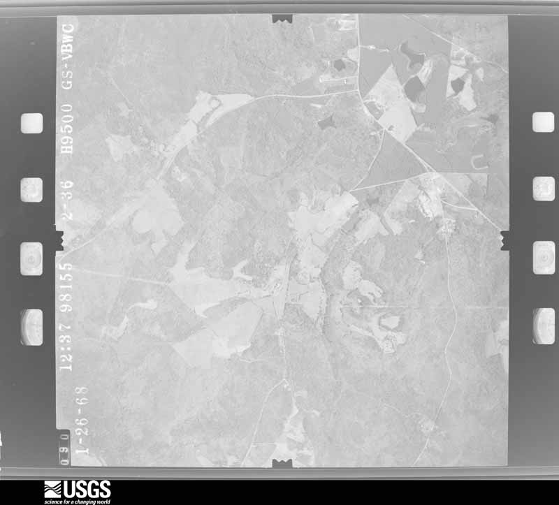
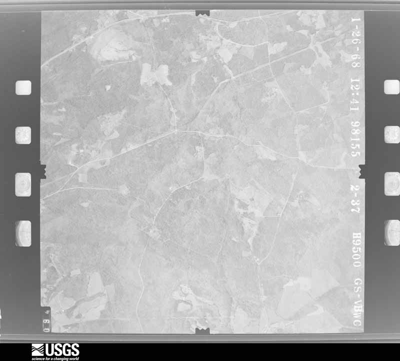
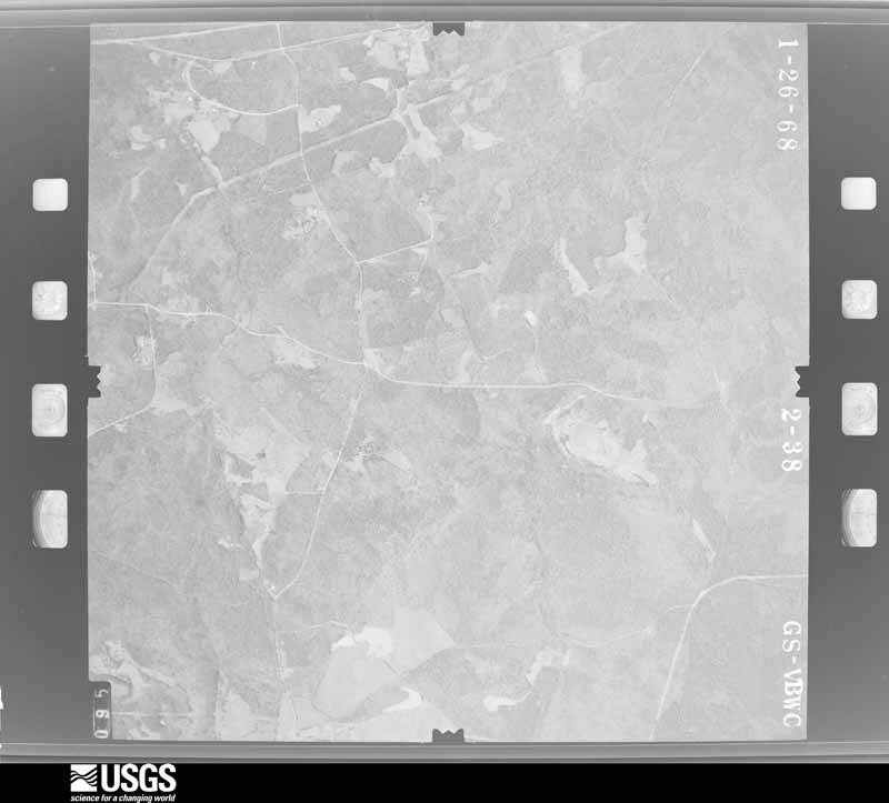
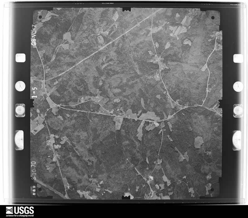
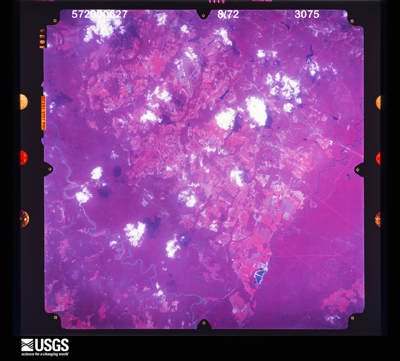
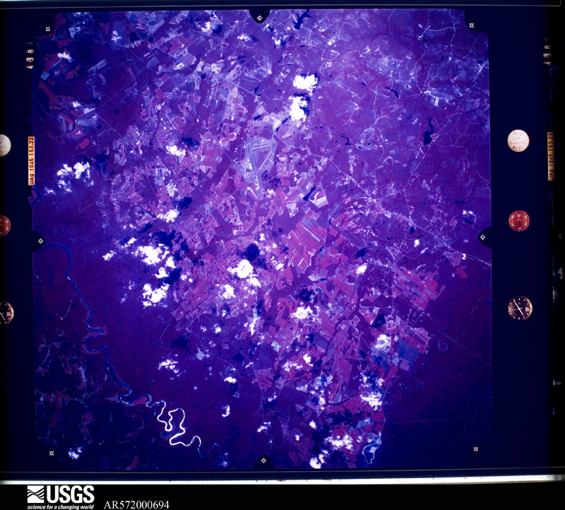
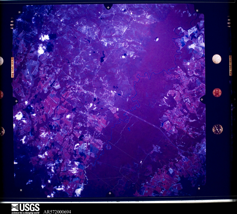
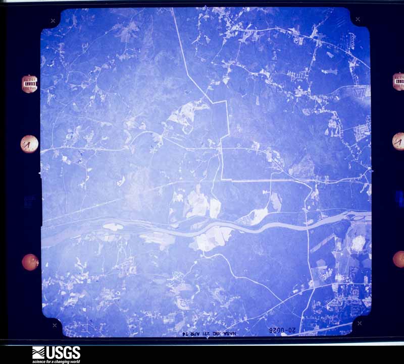
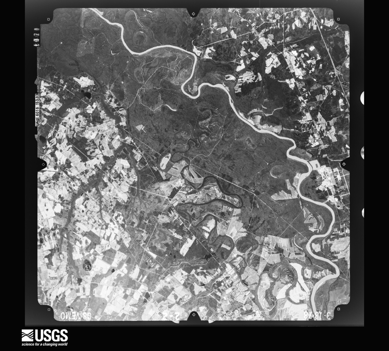
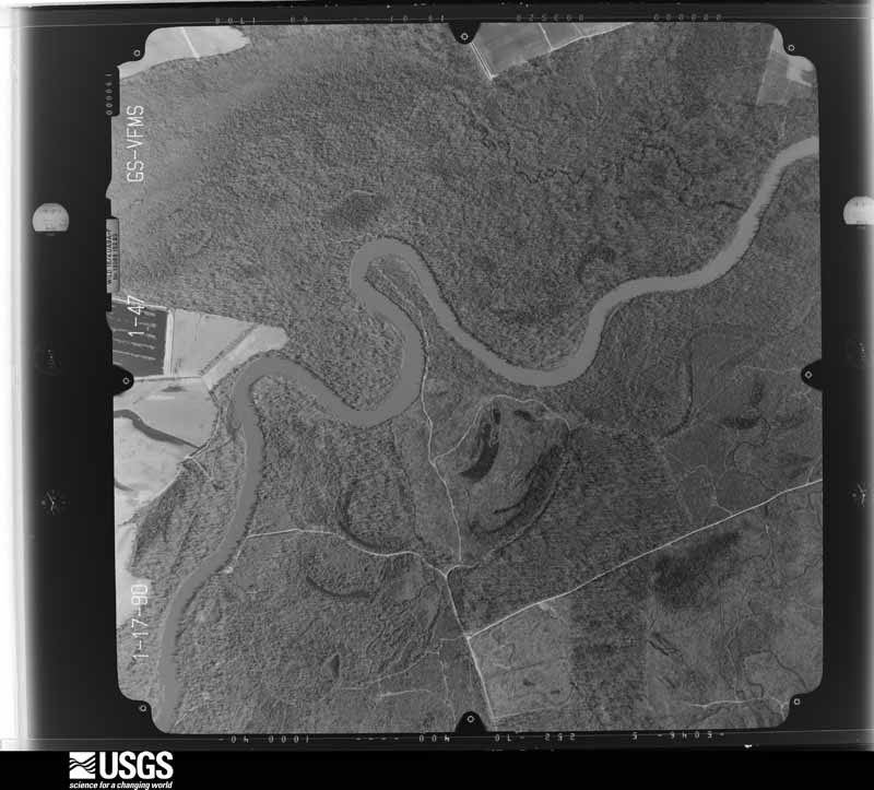
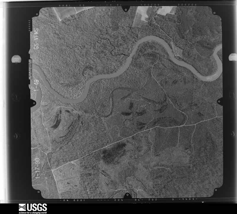
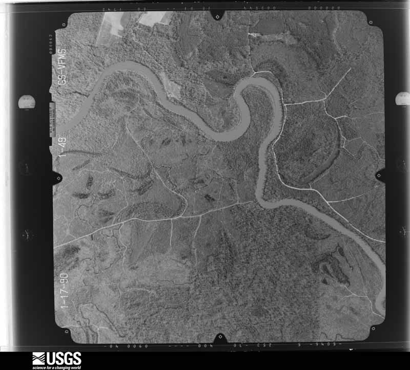
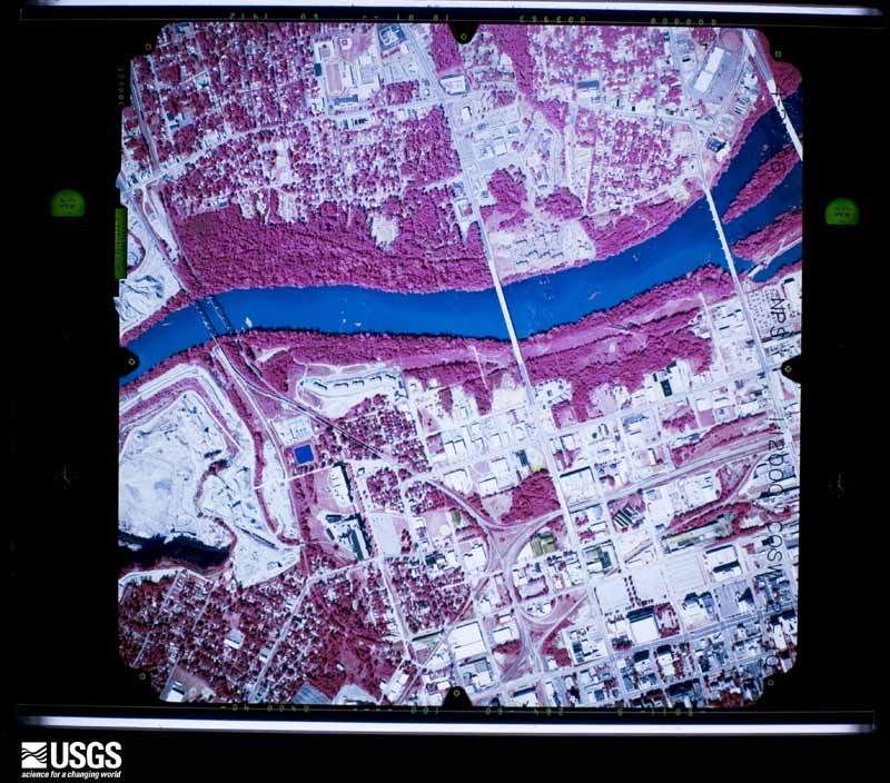
Flown by the U.S. Geological Survey between 1937 and 1989, the Aerial Photo Single Frames collection is the definitive mid-century view of the land: fields, roads and rivers as the camera saw them. The Survey holds 2,220 frames inside the rectangle that bounds this county; the 48 frames below were taken over the county itself, chosen across the decades of flights (at most four a year from that rectangle), so one flight cannot crowd out the rest. The full set is free to browse and download at EarthExplorer under the dataset Aerial Photo Single Frames.
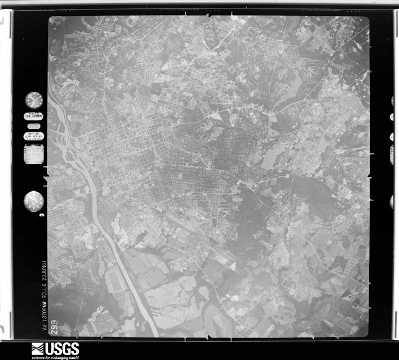
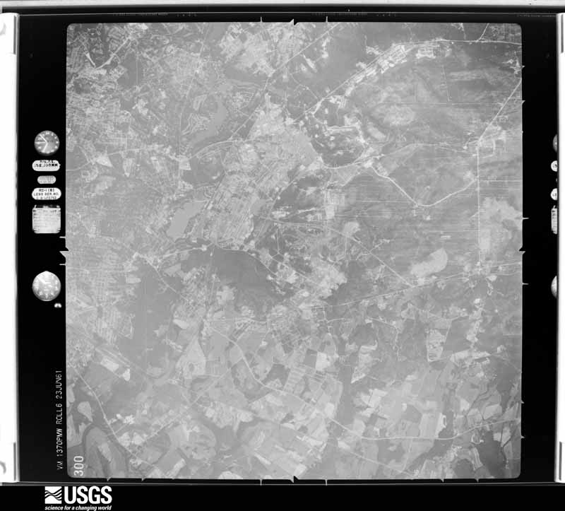
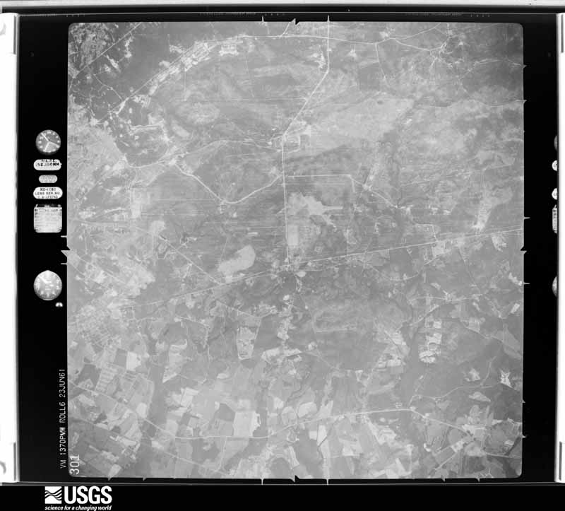
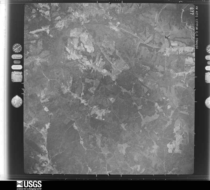
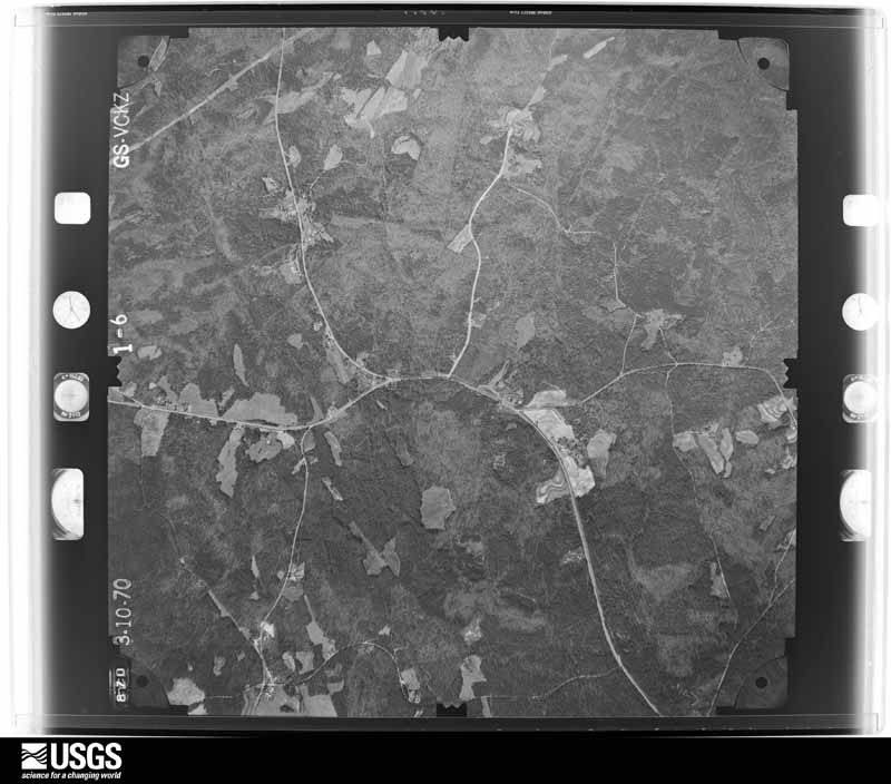
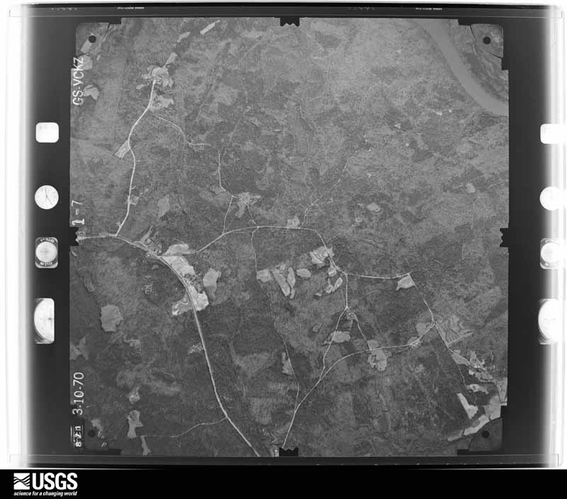
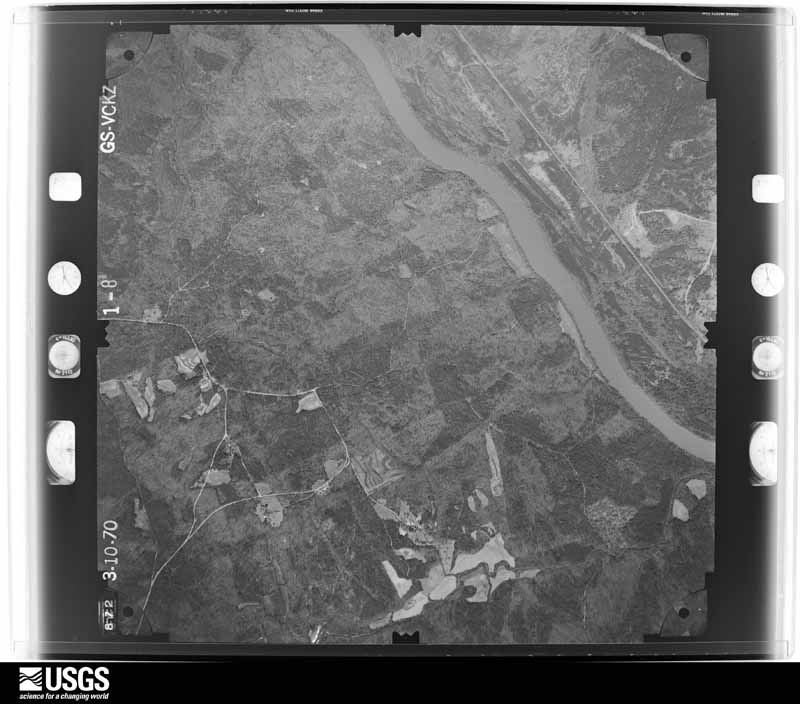
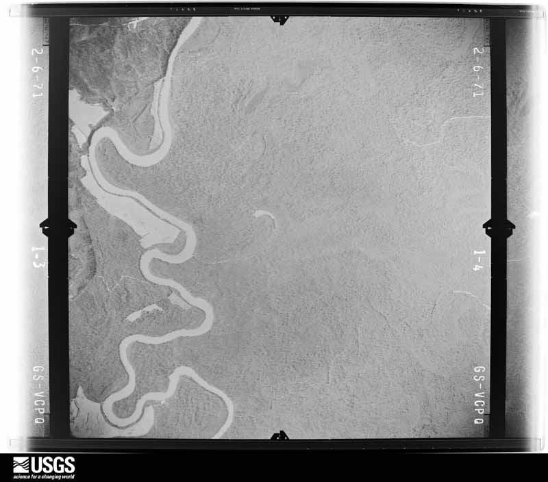
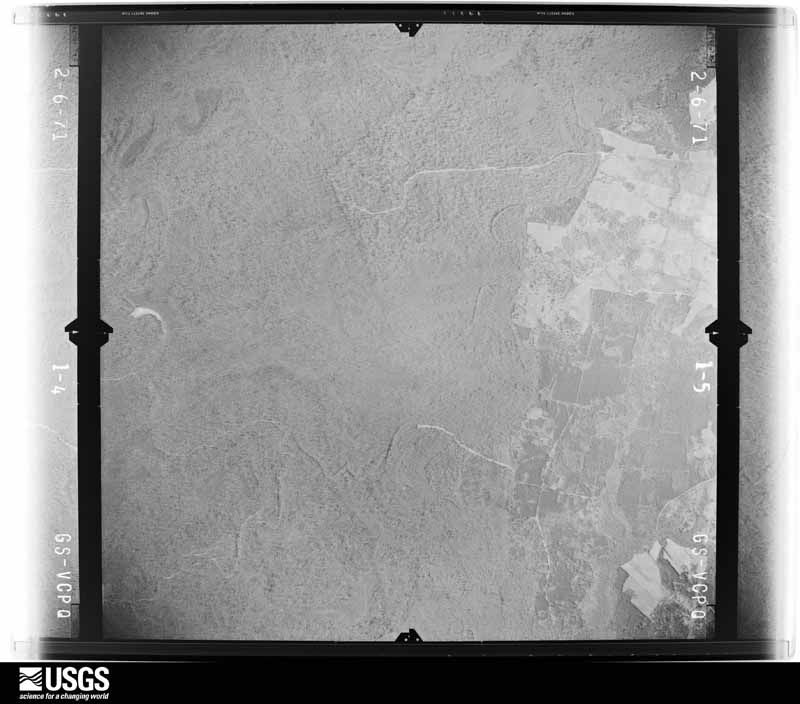
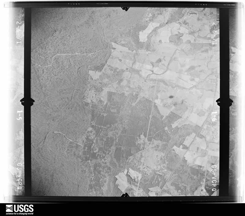
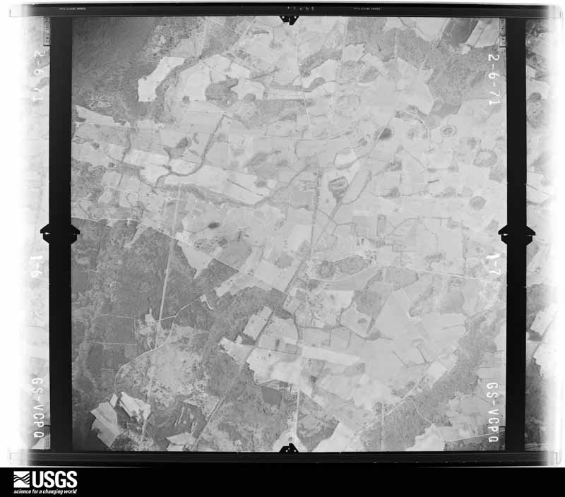
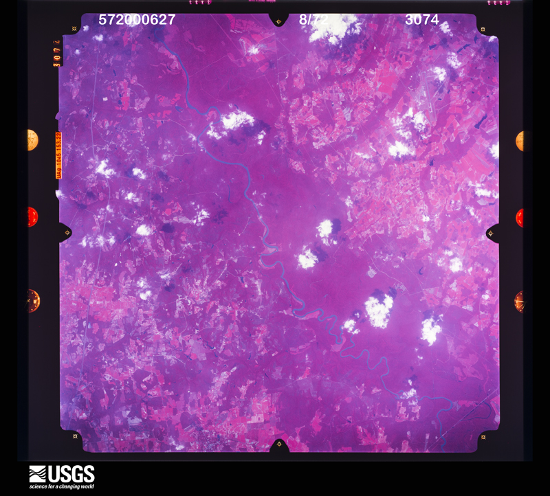


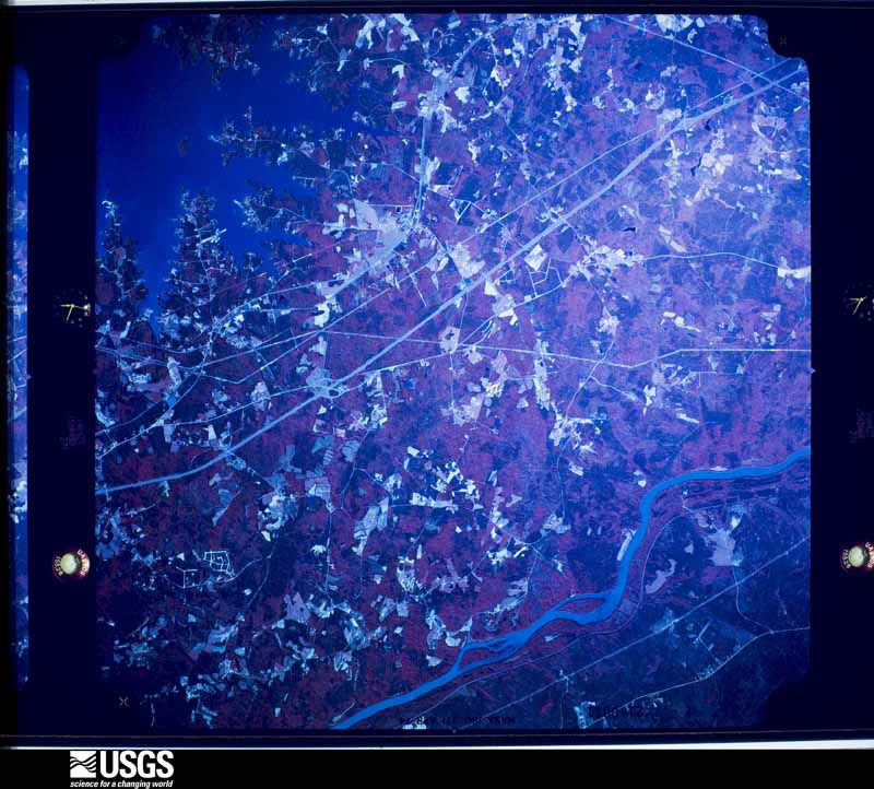
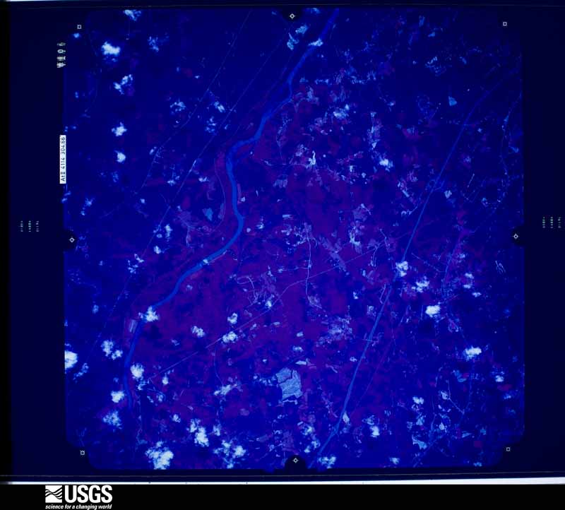
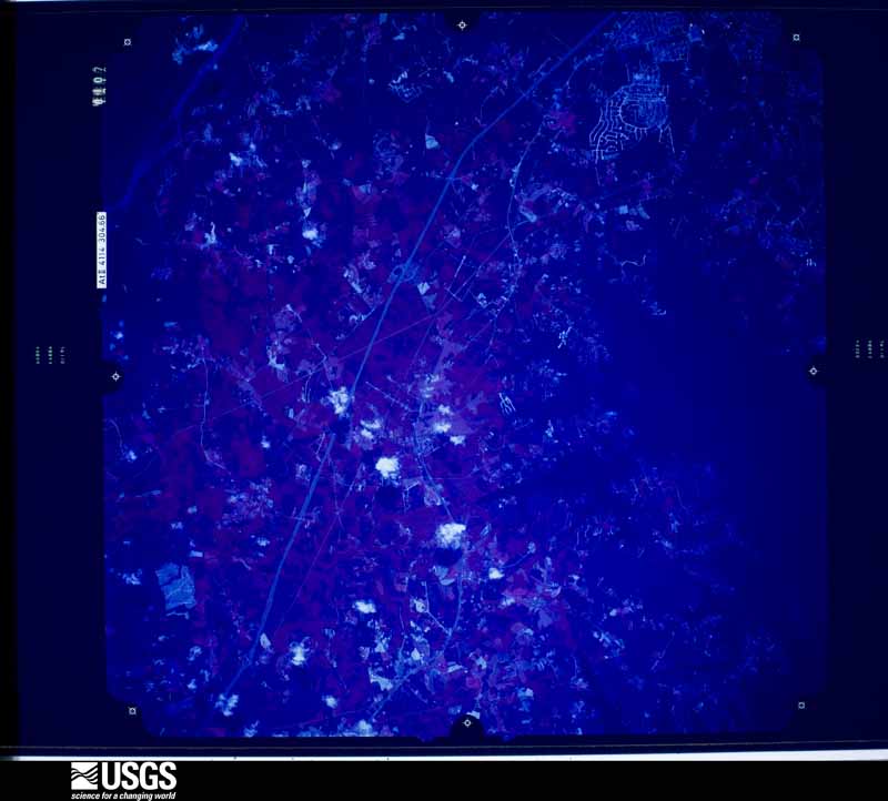
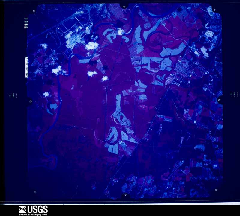
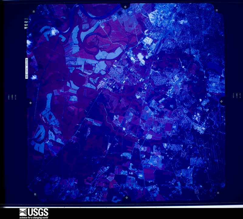
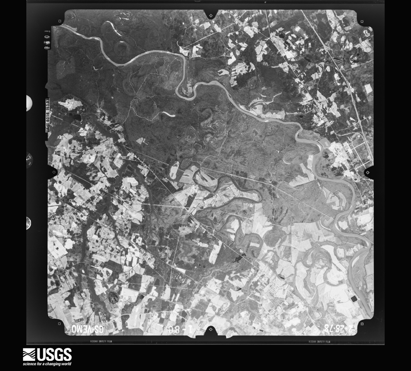
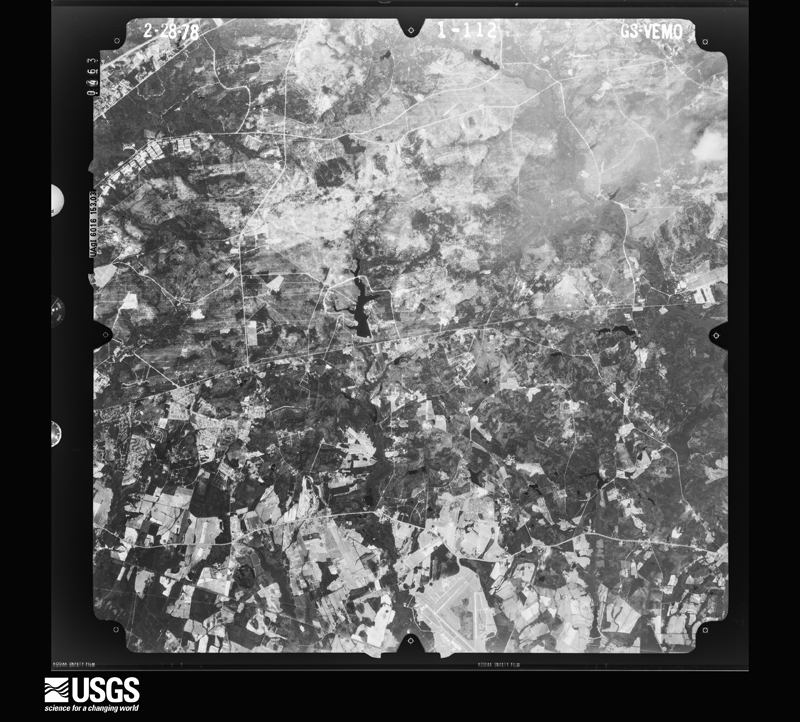
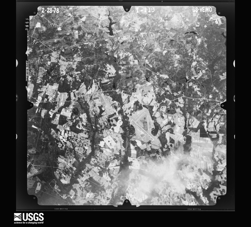
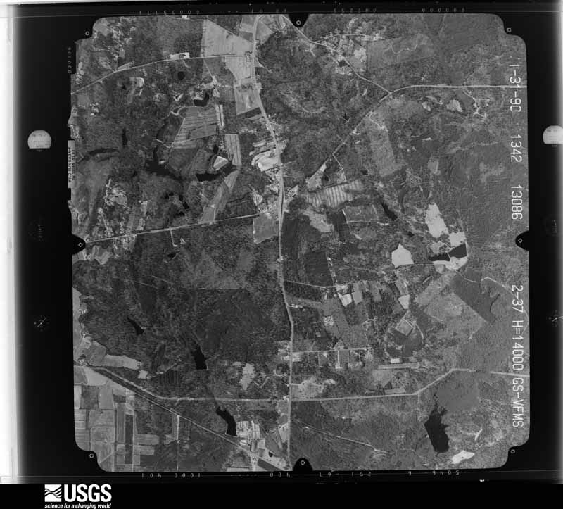
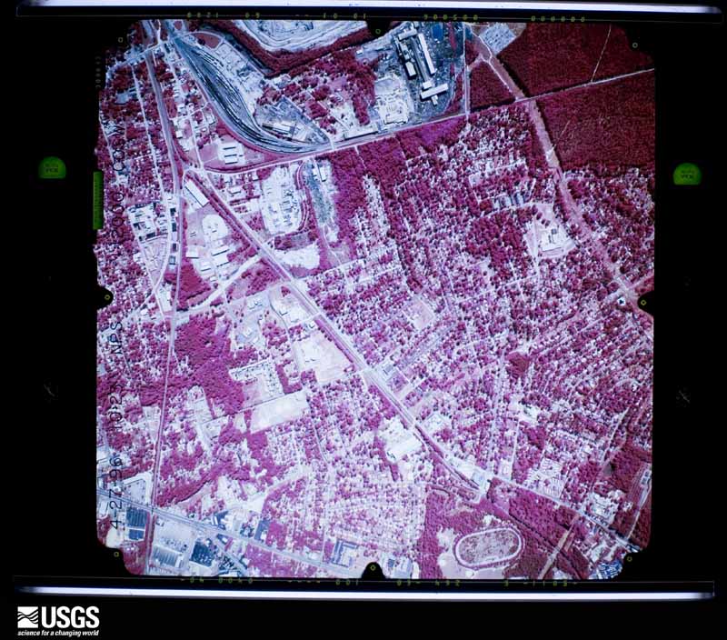
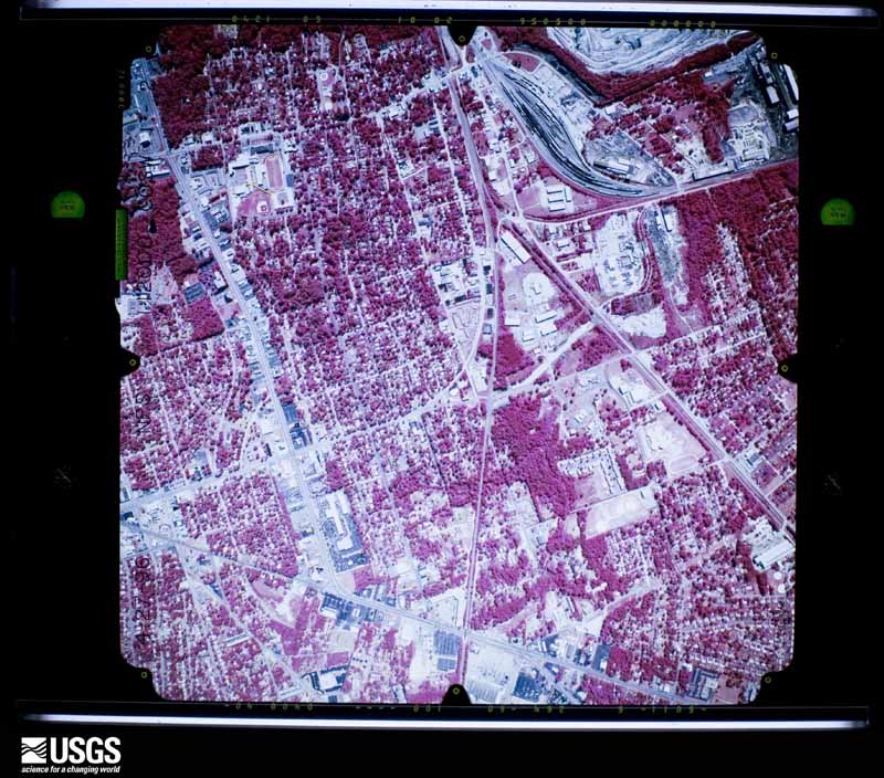
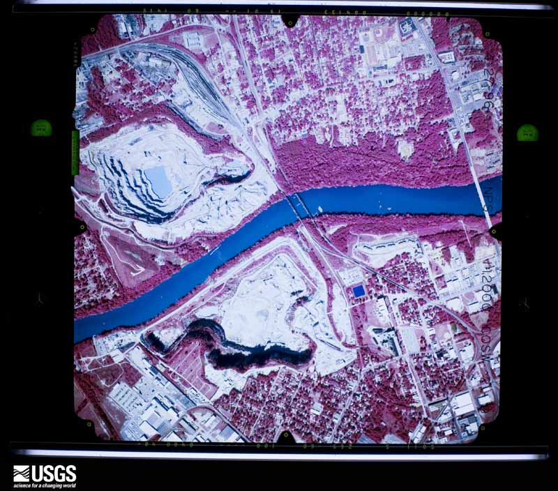
The thermometers that kept this county's weather, and the gages that measured the flow of its streams, as the federal records hold them. The extremes below are measured values from those records, not estimates.
Who lived here in 1950, one enumeration district at a time, as the Census Bureau described each district. Each row opens its official National Archives result, with Population Schedules and ED Maps available there.
Every wildfire the federal occurrence database records inside this county: 1,527 of them, burning about 13,707 acres. 31 started naturally and 199 were recorded as arson. Each settlement page carries the fires within five miles of it.
| Reported cause | Fires |
|---|---|
| Missing data/not specified/undetermined | 675 |
| Debris and open burning | 349 |
| Arson/incendiarism | 199 |
| Misuse of fire by a minor | 139 |
| Equipment and vehicle use | 58 |
| Natural | 31 |
| Smoking | 27 |
| Railroad operations and maintenance | 24 |
| Power generation/transmission/distribution | 8 |
| Recreation and ceremony | 8 |
| Fireworks | 6 |
| Other causes | 3 |
The five largest, by the area the report gives. One of them was set deliberately.
| Date | Cause | Size | Reported by | Name on the report |
|---|---|---|---|---|
| 11 April 1999 | Missing data/not specified/undetermined | 2,484 acres | Fort Jackson Army Training Center | IMPACT |
| 1 December 2007 | Debris and open burning | 985 acres | South Carolina Forestry Commission | SCREAMING EAGLE |
| 17 May 2008 | Missing data/not specified/undetermined | 226 acres | South Carolina Forestry Commission | OLD MCGRAW |
| 1 March 1999 | Arson/incendiarism | 212 acres | Congaree Swamp National Park | KING-BU9W |
| 11 August 2002 | Railroad operations and maintenance | 201 acres | South Carolina Forestry Commission | not named |
| 16 March 2013 | Debris and open burning | 161 acres | South Carolina Forestry Commission | not named |
| 17 July 2005 | Natural | 146 acres | South Carolina Forestry Commission | not named |
| 19 February 1994 | Debris and open burning | 131 acres | Congaree Swamp National Park | MCKENSIE C |
Every settlement page carries the fires within five miles of it - see the settlement index below.
The NOAA Storm Events Database holds 1,418 reports for this county, causing 13 deaths, 75 injuries and about $52,267,430 in recorded property damage. Each settlement page carries the reports that name it.
| Kind of event | Reports |
|---|---|
| Thunderstorm Wind | 816 |
| Flash Flood | 238 |
| Hail | 231 |
| Heavy Rain | 45 |
| Tornado | 43 |
| Lightning | 24 |
| Flood | 18 |
| Funnel Cloud | 3 |
The most serious of them, by death, then injury, then recorded damage. The accounts are quoted exactly as the forecast office filed them.
| When | Event | Place named | Harm | What the report says |
|---|---|---|---|---|
| October 2015 | Flash Flood | Woodland Terrace | 2 killed, 20 hurt, $10,000,000 | Widespread flooding along Gills Creek through Devine Street...Fort Jackson Blvd...Wildcat Road and Garners Ferry Road area. Numerous water rescues and buildings flooded. One building partially collapsed. The stream gage along Gills Creek was destroyed. Peak stage along Gills Creek determined by USGS from high water marks to be 19.6 feet. Flood Stage is 6.7 feet. 2 Fatalities occurred in this area. One fatality occurred at Gills Creek and Devine Street. The second fatality occurred at Kilbourne Road and Gills Creek. The roadway was flooded due to upstream dam failures and heavy rainfall. |
| October 2015 | Flash Flood | (Mmt)Mc Entire Ang | 2 killed, 5 hurt, $100,000 | Five railroad repair workers driving along Congaree Road plunged into the water of Cabin Creek because the roadway had been washed out. Sheriffs spokesman said that the barricade was in the wrong lane. The accident occurred at 145 AM EDT on the 7th. |
| May 1976 | Tornado (F2) | not stated | 1 killed, 3 hurt, $250,000 | no account filed |
| October 2015 | Flash Flood | Denny Terrace | 1 killed, 1 hurt, $800,000 | SC Highway Patrol reports Monticello Road at I-20 closed due to flooding. Male driver drowned in his vehicle on Peeples Street near Crane Creek. The victim was found at 1100 PM EDT on the 5th. |
| October 2015 | Flash Flood | Perry | 1 killed, 1 hurt, $100,000 | South Carolina DOT worker drowned in his work truck when it was swept off the road and overturned into Toms Creek. The worker was en route to assist another SCDOT group with a tree down across a roadway. |
| October 2015 | Flash Flood | St Andrews | 1 killed, 1 hurt, $20,000 | One person drowned in their vehicle when it stalled in flood waters along Sunset Drive near the stream Smith Branch. The person drowned at approximately 654 am EDT. The stream gage just upstream from the fatality crested at 18.93 feet at 0607 am EDT. Flood stage is 9.0 feet. |
| October 2015 | Flash Flood | Capitol View | 1 killed, 1 hurt, $20,000 | Heavy rainfall caused Sun View Lake to spill over Caughman Road into Mill Creek. One person drowned when their vehicle stalled in the floodwaters. |
| October 2015 | Flash Flood | Dentsville | 1 killed, 1 hurt, $15,000 | Male driving down driver N. Trenholm Road found the next morning in Carys Lake just off Trenholm Road. |
| June 2000 | Thunderstorm Wind | Ballentine | 1 killed, 1 hurt | Sheriff reported trees down. One man was killed when a tree fell on his vehicle. |
| June 2019 | Thunderstorm Wind | St Andrews | 1 killed | A 61 year old man was killed when a tree, that was felled by thunderstorm winds, landed on him while he was in his backyard at his home on Columbia Ave in Columbia. |
| June 1989 | Thunderstorm Wind | not stated | 1 killed | no account filed |
| November 1975 | Tornado (F2) | not stated | 7 hurt, $250,000 | no account filed |
| June 2011 | Lightning | Columbia | 5 hurt | A midafternoon thunderstorm produced lightning that struck an Oak tree at Allen Benedict Court on Harden Street where 5 landscape and maintenance workers were sitting. One worker was taken to the hospital with non-life threatening injuries. The others were treated and released. |
| August 2004 | Thunderstorm Wind | Ft Jackson | 3 hurt, $300,000 | An intense downburst associated with a squall line did moderate damage to several facilities on the base and wraped aluminum bleachers around telephone poles. Three people reported minor injuries. |
| September 2004 | Tornado (F2) | Gadsden | 3 hurt, $100,000 | NWS survey found 3 mobile destroyed, several others damaged along with a couple of businesses. Three people were injured. Numerous trees and powerlines down. |
| May 1967 | Tornado (F2) | not stated | 3 hurt, $25,000 | no account filed |
| August 2009 | Thunderstorm Wind | Forest Acres | 3 hurt, $16,000 | Media reported trees down on Trenholm road near Forest Acres. One tree fell on a vehicle and 3 people were injured. |
| April 1999 | Lightning | Columbia | 3 hurt | Three people were hit by lightning at River Banks Zoo. The victims were taken to nearby hospitals and released the next day. |
| August 1987 | Tornado (F2) | not stated | 2 hurt, $250,000 | no account filed |
| May 2020 | Flash Flood | Capitol View | 2 hurt, $10,000 | Columbia FD and broadcast media reported flooding at Mallard Point Apartments off Hallbrook Dr. The Fire Dept conducted a water rescue. Two people were injured. |
| August 2023 | Thunderstorm Wind | Forest Acres | 2 hurt | A photo on social media from a spotter indicated a large tree fell down on a car on Atascadero Drive in the Town of Forest Acres. The tree trapped a mother and small child in a car. They both suffered minor injuries. |
| January 1972 | Tornado (F1) | not stated | 1 hurt, $250,000 | no account filed |
| July 1997 | Tornado (F1) | Columbia | 1 hurt, $205,000 | An F1 tornado produced winds to 100 mph. Numerous trees were down and 35 homes had minor damage. Seventeen businesses also had minor damage. One person was injured. |
| May 1997 | Thunderstorm Wind | Columbia | 1 hurt, $20,000 | no account filed |
| July 2022 | Lightning | Montgomery | 1 hurt | Richland County Emergency Manager reported a victim struck by lightning at a residence with minor injuries treated on scene. |
| August 2020 | Lightning | Sharp | 1 hurt | Lightning struck a home on Joshua Tree Ct and injured an individual inside. |
| July 2016 | Thunderstorm Wind | Eau Claire | 1 hurt | Tree on house, tree on deck, and power lines down, on Delverton Rd. |
| May 2000 | Thunderstorm Wind | Ballentine | 1 hurt | Sheriff reported trees down. One man was killed when a tree fell on his vehicle. |
| June 1987 | Thunderstorm Wind | not stated | 1 hurt | no account filed |
| January 1995 | Tornado (F1) | near Ballentine | $10,000,000 | no account filed |
| October 2015 | Flash Flood | Myron Manor | $5,000,000 | SC Highway Patrol reports Kilbourne Road at Ft.Jackson Blvd closed due to flooding. |
| October 2015 | Flash Flood | Weddell | $2,000,000 | SC Highway Patrol reports Grampian Hills Road at Two Notch Road closed due to flooding. |
| October 2015 | Flash Flood | Weddell | $2,000,000 | SC Highway Patrol reports Spring Valley Road at Two Notch Road closed due to flooding. |
| June 2006 | Lightning | Columbia | $1,500,000 | Lightning struck a tree and ran through the ground into the home starting a fire in the home in the Woodcreek Farms Subdivision. |
| August 2016 | Flash Flood | Greenlawn | $1,000,000 | SCHP reported Garner's Ferry Road at I-77 flooded and impassable. |
| August 2016 | Heavy Rain | Columbia | $1,000,000 | Richland County Emergency Services automated rain gauge in MLK Park reported 3.46 inches of rain in 44 minutes from 7:15 PM to 7:59 PM EST. |
| October 2015 | Flash Flood | Denny Terrace | $1,000,000 | NWS employee reports Piney Woods Road flooded. |
| October 2015 | Flash Flood | Forest Acres | $1,000,000 | SC Highway Patrol reports Pine Belt Road at Carter Street closed due to flooding. |
| October 2015 | Flash Flood | Woodfield | $1,000,000 | SC Highway Patrol reports Percival Road at I-77 closed due to flooding. |
| October 2015 | Flash Flood | Denny Terrace | $1,000,000 | SC Highway Patrol reports Peeples Street at Monticello Road closed due to flooding. |
| October 2015 | Flash Flood | Leesburg | $1,000,000 | SC Highway Patrol reports McCords Ferry Road Willie Kelly Road closed due to flooding. |
| April 2011 | Thunderstorm Wind | Woodfield | $900,000 | Fire Dept. reported numerous trees on homes in the Greenview area of Columbia on over to Ft. Jackson. |
| July 2013 | Thunderstorm Wind | Columbia | $820,000 | The State Newspaper reported several trees fell on homes in Columbia. At least 8 homes were damaged so thoroughly that they were deemed unsafe for habitation. |
| October 2015 | Flash Flood | Denny Terrace | $800,000 | SC Highway Patrol reports Monticello Road at I-20 closed due to flooding. |
| October 2015 | Flash Flood | Ballentine | $800,000 | SC Highway Patrol reports Chadford Road at N Royal Tower Drive closed due to flooding. |
| June 2005 | Lightning | St Andrews | $680,000 | A lightning strike started a fire at Pine Apartments that did major damage to the complex. |
| October 2015 | Flash Flood | Eastover | $500,000 | SC Highway Patrol reports US 601 at US 378 closed due to flooding. |
| October 2015 | Flash Flood | Weddell | $500,000 | SC Highway Patrol reports roadway flooded at Two Notch Road and Polo Road. |
| June 2009 | Lightning | Columbia | $500,000 | Lightning struck a home at 38 Shoreline Drive and ignited a fire which destroyed it. |
| July 2025 | Lightning | Pontiac Airstrip Arp | $300,000 | Columbia-Richland Fire Department reported responding to a 2-alarm fire caused by a lightning strike in the 1100 block of Bradford Ridge Lane. Two homes were left uninhabitable, with a third sustaining minor damage. All occupants escaped with no injuries. |
| October 2015 | Flash Flood | Olympia Mills | $300,000 | Flash flooding downtown Columbia. Rocky Branch Creek at Whaley and Main Street over the banks and water covering the roadway. |
| July 2009 | Flash Flood | Ft Jackson | $300,000 | Broadcast media and public reported torrential rains causing flash flooding in east central Lexington and west central Richland counties. Three to five inches of rain fell within a 1 to 3 hour period causing flash flooding in several areas, especially in down town Columbia. Water levels rose to nearly 12 feet at the gage on Rocky Branch Creek near the intersection of Main and Whaley streets. Several cars were submerged and flooding extended into the USC campus area. Flooding in the Five-Points area and on Gervais street near Harden street had water up to the windows of cars and the foot bridge across Rocky Branch Creek at Maxcy Gregg Park was submerged. Several people had to be rescued from trapped vehicles in the flooded areas of Columbia. |
| August 2005 | Lightning | Columbia | $300,000 | Lightning caused a home fire at 204 Upland Trail that caused $300k worth of damage. |
| September 2004 | Tornado (F1) | Ft Jackson | $300,000 | Ft. Jackson reported 22 homes with light to moderate damage from an F1 tornado. |
| October 2015 | Flash Flood | Woodfield | $250,000 | SC Highway Patrol reports roadway flooding on I-77 at mile marker 13. |
| May 1980 | Tornado (F1) | not stated | $250,000 | no account filed |
| November 1967 | Tornado (F1) | not stated | $250,000 | no account filed |
| August 1964 | Tornado (F2) | not stated | $250,000 | no account filed |
| July 2010 | Lightning | St Andrews | $230,000 | WIS TV reported a home destroyed from a fire cuased by lightning on Ripplerock road. |
| June 2009 | Lightning | Columbia | $220,000 | Lightning struck a home and ingited a fire which destroyed it. The home was located at 150 Rivendale Drive. |
The Survey's mineral resources record lists 63 workings inside this county. 14 still produce and 49 are closed or unrecorded. Each settlement page carries the workings within five miles of it.
| Commodity | Workings |
|---|---|
| Clay | 36 |
| Sand and Gravel, Construction | 9 |
| Granite, Stone, Crushed/Broken | 4 |
| Stone, Crushed/Broken | 4 |
| Iron, Titanium, Thorium | 2 |
| Iron, Thorium, Zirconium, Titanium | 2 |
| Iron, Zirconium, Thorium, Titanium | 2 |
| Iron, Titanium, Thorium, Zirconium | 1 |
| Stone, Crushed/Broken, Stone, Dimension, Granite | 1 |
| Thorium | 1 |
| Gold | 1 |
The least common of them first, because a county's hundredth gravel pit says nothing its first ten did not.
| Where | Site | Commodity | Status | Recorded |
|---|---|---|---|---|
| Cedar Creek Mine | Gold | Past Producer | ||
| Colonels Creek | Iron, Titanium, Thorium, Zirconium | Unknown | Placer , Modern , Fluvial | |
| Green Hole | Stone, Crushed/Broken, Stone, Dimension, Granite | Past Producer | Igneous | |
| Westinghouse Elec. Corp--Columbia | Thorium | Unknown | ||
| Congaree River (Sample 1) | Iron, Titanium, Thorium | Unknown | Placer , Modern , Fluvial | |
| Congaree River (Sample 2) | Iron, Titanium, Thorium | Unknown | Placer , Modern , Fluvial | |
| Myers Creek | Iron, Thorium, Zirconium, Titanium | Unknown | Placer-Modern-Fluvial | |
| Otter Lake | Iron, Zirconium, Thorium, Titanium | Unknown | Tailings | |
| Route U. S. 601 | Iron, Thorium, Zirconium, Titanium | Unknown | Placer , Modern , Fluvial | |
| Sumters Landing | Iron, Zirconium, Thorium, Titanium | Unknown | Placer , Modern , Fluvial | |
| Columbia North Quarry | Granite, Stone, Crushed/Broken | Producer | Igneous | |
| Columbia Quarry | Granite, Stone, Crushed/Broken | Producer | 1883 | |
| Columbia Quarry | Stone, Crushed/Broken | Producer | ||
| Dreyfus Quarry | Granite, Stone, Crushed/Broken | Producer | Igneous | |
| Dreyfus Quarry | Stone, Crushed/Broken | Producer | ||
| Harbison Quarry | Granite, Stone, Crushed/Broken | Past Producer | Igneous | |
| Harbison Quarry | Stone, Crushed/Broken | Past Producer | ||
| North Columbia Quarry | Stone, Crushed/Broken | Producer | ||
| Bluff Road Mine | Sand and Gravel, Construction | Past Producer | 1978, 1980 | |
| Bluff Road Sand Pit | Sand and Gravel, Construction | Producer | ||
| Loveless & Loveless Plant #2 | Sand and Gravel, Construction | Past Producer | Sedimentary | |
| No. 2 Pit | Sand and Gravel, Construction | Producer | ||
| Pontiac Sand Mine | Sand and Gravel, Construction | Past Producer | Sedimentary | |
| Sand Plant | Sand and Gravel, Construction | Past Producer | ||
| Smith Properties Mine | Sand and Gravel, Construction | Past Producer | Sedimentary | |
| Trip Construction Co. Sand Pit | Sand and Gravel, Construction | Producer | Sedimentary | |
| Trip Pit | Sand and Gravel, Construction | Past Producer | ||
| Branham Mine | Clay | Unknown | Sedimentary | |
| Branham Mine | Clay | Past Producer | ||
| Brick Plant No. 2 | Clay | Past Producer | ||
| Brick Plant No. 4 | Clay | Past Producer | ||
| Broad River Mine | Clay | Producer | ||
| Broad River Shale | Clay | Past Producer | Metamorphic | |
| Carolina Ceramics Shale Pit | Clay | Past Producer | Metamorphic | |
| Coleman Mine | Clay | Unknown | Sedimentary | |
| Coleman Mine | Clay | Past Producer | ||
| Crane Creek Pit | Clay | Unknown | Metamorphic | |
| Duncan Lakes Mine | Clay | Unknown | Sedimentary | |
| Duncan Lakes Mine | Clay | Producer | ||
| Harbison Mine | Clay | Unknown | Sedimentary | |
| Harbison Mine | Clay | Past Producer | ||
| Haskell Clay Mine | Clay | Past Producer | Metamorphic | |
| Himnant Mine (Hinnant Mine) | Clay | Past Producer | Metamorphic | |
| Laborde Pit | Clay | Producer | ||
| Laborde Shale Prospect | Clay | Past Producer | Metamorphic | |
| Mcmeekin Shale Pit | Clay | Past Producer | Metamorphic | |
| Mobley Road Shale Pit | Clay | Producer | Metamorphic | |
| Pontiac Mill | Clay | Past Producer | ||
| Richland County Mines | Clay | Producer | ||
| Richtex Corp, Richland County Mines | Clay | Past Producer | ||
| Stork Firebrick Works Pit | Clay | Past Producer | Kaolin | |
| Taylor Clay Mine | Clay | Unknown | Sedimentary | |
| Taylor Clay Products Company, | Clay | Past Producer | ||
| Taylor Mine | Clay | Unknown | Sedimentary | |
| Taylor Mine | Clay | Past Producer | ||
| Unidentified Clay Pit | Clay | Unknown | Sedimentary | |
| Unnamed Clay Pit | Clay | Unknown | Sedimentary | |
| Unnamed Shale Pit | Clay | Past Producer | Metamorphic | |
| Unnamed Shale Pit | Clay | Past Producer | Metamorphic | |
| Unnamed Shale Pit | Clay | Past Producer | Metamorphic | |
| Unnamed Shale Pit | Clay | Past Producer | Metamorphic | |
| Unnamed Shale Pit | Clay | Past Producer | Slate | |
| Wesley Blizzard Pit | Clay | Unknown | Sedimentary |
Named settlements recorded in the Geographic Names Information System, each with the topographic sheets covering it. Villages, hamlets and abandoned places alike. Each is shown with the nearest named watercourse or landform and the survey quadrangle it falls on. The 1 place that was also surveyed for fire insurance comes first, with the number of atlases and photographs held for them.
Columbia census division · 29201 · On Broad River · Columbia North quadrangle
21 sheets, 1904 to 1997
Fire insurance: 12 atlases
Columbia census division · 29204 · Columbia North quadrangle
21 sheets, 1904 to 1997
Columbia census division · 29206 · On Jackson Creek · Fort Jackson North quadrangle
24 sheets, 1935 to 1986
Camp Ground census division · 29203 · Columbia North quadrangle
21 sheets, 1904 to 1997
Columbia census division · 29204 · Near Quinine Hill · Columbia North quadrangle
21 sheets, 1904 to 1997
Columbia census division · 29203 · On Crane Creek · Columbia North quadrangle
21 sheets, 1904 to 1997
Columbia census division · 29203 · On Crane Creek · Columbia North quadrangle
21 sheets, 1904 to 1997
Columbia census division · 29201 · On Broad River · Columbia North quadrangle
21 sheets, 1904 to 1997
Dutch Fork census division · 29210 · On Stoop Creek · Columbia North quadrangle
21 sheets, 1904 to 1997
Columbia census division · 29209 · Fort Jackson South quadrangle
17 sheets, 1948 to 1990
Columbia census division · 29209 · On Reeder Point Branch · Fort Jackson South quadrangle
17 sheets, 1948 to 1990
Blythewood census division · 29016 · On Ashbury Branch · Blythewood quadrangle
23 sheets, 1935 to 1986
Columbia census division · 29203 · Columbia North quadrangle
21 sheets, 1904 to 1997
Camp Ground census division · 29180 · Near Hickory Island · Richtex quadrangle
18 sheets, 1904 to 1986
Columbia census division · 29206 · On Eightmile Branch · Fort Jackson North quadrangle
24 sheets, 1935 to 1986
Columbia census division · 29209 · On Wildcat Creek · Fort Jackson South quadrangle
17 sheets, 1948 to 1990
Columbia census division · 29209 · Fort Jackson South quadrangle
17 sheets, 1948 to 1990
Columbia census division · 29206 · On Jackson Creek · Fort Jackson North quadrangle
24 sheets, 1935 to 1986
Columbia census division · 29204 · Near Quinine Hill · Fort Jackson North quadrangle
24 sheets, 1935 to 1986
Dutch Fork census division · 29210 · On Crane Creek · Columbia North quadrangle
21 sheets, 1904 to 1997
Columbia census division · 29203 · Near Brice Hill · Columbia North quadrangle
21 sheets, 1904 to 1997
Columbia census division · 29209 · Fort Jackson South quadrangle
17 sheets, 1948 to 1990
Columbia census division · 29201 · On Broad River · Columbia North quadrangle
21 sheets, 1904 to 1997
No longer a settlement
Columbia census division · 29203 · On Crane Creek · Columbia North quadrangle
21 sheets, 1904 to 1997
Dutch Fork census division · 29063 · On Moccasin Branch · Richtex quadrangle
18 sheets, 1904 to 1986
No longer a settlement
Columbia census division · 29209 · Fort Jackson South quadrangle
17 sheets, 1948 to 1990
Camp Ground census division · 29180 · On Little Cedar Creek · Richtex quadrangle
18 sheets, 1904 to 1986
Columbia census division · 29209 · Fort Jackson South quadrangle
17 sheets, 1948 to 1990
Pontiac census division · 29223 · On Sorghum Branch · Fort Jackson North quadrangle
24 sheets, 1935 to 1986
Dutch Fork census division · 29210 · On Stoop Creek · Columbia North quadrangle
21 sheets, 1904 to 1997
Pontiac census division · 29223 · On Sorghum Branch · Fort Jackson North quadrangle
24 sheets, 1935 to 1986
Columbia census division · 29203 · Columbia North quadrangle
21 sheets, 1904 to 1997
Columbia census division · 29203 · Near Brice Hill · Columbia North quadrangle
21 sheets, 1904 to 1997
Dutch Fork census division · 29210 · On Stoop Creek · Columbia North quadrangle
21 sheets, 1904 to 1997
Columbia census division · 29206 · On Pen Branch · Fort Jackson North quadrangle
24 sheets, 1935 to 1986
Columbia census division · 29203 · Near Brice Hill · Columbia North quadrangle
21 sheets, 1904 to 1997
Columbia census division · 29223 · On Lightwood Knot Branch · Fort Jackson North quadrangle
24 sheets, 1935 to 1986
Columbia census division · 29209 · Fort Jackson South quadrangle
17 sheets, 1948 to 1990
Columbia census division · 29223 · On Rowell Creek · Fort Jackson North quadrangle
24 sheets, 1935 to 1986
Columbia census division · 29203 · Near Boatrights Island · Columbia North quadrangle
21 sheets, 1904 to 1997
Dutch Fork census division · 29210 · On Smith Branch · Columbia North quadrangle
21 sheets, 1904 to 1997
Dutch Fork census division · 29063 · On Moccasin Branch · Irmo quadrangle
20 sheets, 1904 to 1986
Dutch Fork census division · 29210 · On Stoop Creek · Columbia North quadrangle
21 sheets, 1904 to 1997
Columbia census division · 29223 · On Lightwood Knot Branch · Fort Jackson North quadrangle
24 sheets, 1935 to 1986
Columbia census division · 29209 · On Reeder Point Branch · Fort Jackson South quadrangle
17 sheets, 1948 to 1990
Columbia census division · 29203 · On Smith Branch · Columbia North quadrangle
21 sheets, 1904 to 1997
Columbia census division · 29223 · On Lightwood Knot Branch · Fort Jackson North quadrangle
24 sheets, 1935 to 1986
Dutch Fork census division · 29210 · On Smith Branch · Columbia North quadrangle
21 sheets, 1904 to 1997
Columbia census division · 29201 · On Broad River · Columbia North quadrangle
21 sheets, 1904 to 1997
Dutch Fork census division · 29210 · On Crane Creek · Columbia North quadrangle
21 sheets, 1904 to 1997
Eastover census division · 29078 · Leesburg quadrangle
18 sheets, 1938 to 1986
No longer a settlement
Columbia census division · 29203 · Columbia North quadrangle
21 sheets, 1904 to 1997
Columbia census division · 29204 · Near Quinine Hill · Fort Jackson North quadrangle
24 sheets, 1935 to 1986
Columbia census division · 29204 · On Orphanage Branch · Columbia North quadrangle
21 sheets, 1904 to 1997
Columbia census division · 29204 · Near Quinine Hill · Fort Jackson North quadrangle
24 sheets, 1935 to 1986
Pontiac census division · 29223 · Fort Jackson North quadrangle
24 sheets, 1935 to 1986
Columbia census division · 29204 · Near Quinine Hill · Fort Jackson North quadrangle
24 sheets, 1935 to 1986
Columbia census division · 29203 · Near Boatrights Island · Columbia North quadrangle
21 sheets, 1904 to 1997
Eastover census division · 29044 · On Colonels Creek · Eastover quadrangle
15 sheets, 1943 to 1990
No longer a settlement
Columbia census division · 29209 · On Wildcat Creek · Fort Jackson South quadrangle
17 sheets, 1948 to 1990
Horrell Hill census division · 29061 · Congaree quadrangle
17 sheets, 1948 to 1990
Pontiac census division · 29223 · On Sorghum Branch · Blythewood quadrangle
23 sheets, 1935 to 1986
Columbia census division · 29206 · On Eightmile Branch · Fort Jackson North quadrangle
24 sheets, 1935 to 1986
Columbia census division · 29209 · Fort Jackson South quadrangle
17 sheets, 1948 to 1990
Columbia census division · 29209 · Fort Jackson South quadrangle
17 sheets, 1948 to 1990
Columbia census division · 29209 · Fort Jackson South quadrangle
17 sheets, 1948 to 1990
Columbia census division · 29203 · Near Brice Hill · Columbia North quadrangle
21 sheets, 1904 to 1997
Columbia census division · 29209 · Fort Jackson South quadrangle
17 sheets, 1948 to 1990
Columbia census division · 29205 · On Orphanage Branch · Fort Jackson South quadrangle
17 sheets, 1948 to 1990
Columbia census division · 29209 · Fort Jackson South quadrangle
17 sheets, 1948 to 1990
Columbia census division · 29203 · On North Branch Crane Creek · Columbia North quadrangle
21 sheets, 1904 to 1997
Columbia census division · 29203 · Columbia North quadrangle
21 sheets, 1904 to 1997
Dutch Fork census division · 29210 · Columbia North quadrangle
21 sheets, 1904 to 1997
Hopkins census division · 29061 · On Horsepen Branch · Fort Jackson South quadrangle
17 sheets, 1948 to 1990
Columbia census division · 29223 · On Little Jackson Creek · Fort Jackson North quadrangle
24 sheets, 1935 to 1986
Columbia census division · 29209 · On Goose Branch · Fort Jackson South quadrangle
17 sheets, 1948 to 1990
Columbia census division · 29204 · Near Quinine Hill · Columbia North quadrangle
21 sheets, 1904 to 1997
Columbia census division · 29203 · On Lightwood Knot Branch · Fort Jackson North quadrangle
24 sheets, 1935 to 1986
Columbia census division · 29206 · On Orphanage Branch · Fort Jackson North quadrangle
24 sheets, 1935 to 1986
Columbia census division · 29205 · On Wildcat Creek · Fort Jackson North quadrangle
24 sheets, 1935 to 1986
Blythewood census division · 29229 · On Roberts Branch · Blythewood quadrangle
23 sheets, 1935 to 1986
Dutch Fork census division · 29210 · On Crane Creek · Columbia North quadrangle
21 sheets, 1904 to 1997
Eastover census division · 29052 · On McKenzie Creek · Wateree quadrangle
15 sheets, 1943 to 1990
Pontiac census division · 29203 · On Cumbess Creek · Fort Jackson North quadrangle
24 sheets, 1935 to 1986
Columbia census division · 29206 · On Eightmile Branch · Fort Jackson North quadrangle
24 sheets, 1935 to 1986
Blythewood census division · 29016 · On Hood Branch · Blythewood quadrangle
23 sheets, 1935 to 1986
Horrell Hill census division · 29209 · Fort Jackson South quadrangle
17 sheets, 1948 to 1990
Camp Ground census division · 29016 · On Williams Branch · Irmo NE quadrangle
17 sheets, 1904 to 1986
No longer a settlement
Fort Jackson census division · 29207 · Messers Pond quadrangle
23 sheets, 1935 to 1986
No longer a settlement
Camp Ground census division · 29180 · On Little River · Richtex quadrangle
18 sheets, 1904 to 1986
Dutch Fork census division · 29212 · On Swygert Branch · Irmo quadrangle
20 sheets, 1904 to 1986
Hopkins census division · 29061 · On Goose Branch · Fort Jackson South quadrangle
17 sheets, 1948 to 1990
Dutch Fork census division · 29210 · Near Boatrights Island · Columbia North quadrangle
21 sheets, 1904 to 1997
Eastover census division · 29078 · Rembert quadrangle
19 sheets, 1938 to 1986
No longer a settlement
Columbia census division · 29209 · Fort Jackson South quadrangle
17 sheets, 1948 to 1990
Columbia census division · 29205 · On Orphanage Branch · Columbia North quadrangle
21 sheets, 1904 to 1997
Columbia census division · 29209 · On Goose Branch · Fort Jackson South quadrangle
17 sheets, 1948 to 1990
Columbia census division · 29209 · On Wildcat Creek · Fort Jackson South quadrangle
17 sheets, 1948 to 1990
Camp Ground census division · 29203 · On Big Cedar Creek · Richtex quadrangle
18 sheets, 1904 to 1986
Columbia census division · 29209 · Fort Jackson South quadrangle
17 sheets, 1948 to 1990
Columbia census division · 29203 · On Crane Creek · Columbia North quadrangle
21 sheets, 1904 to 1997
Columbia census division · 29201 · On Broad River · Southwest Columbia quadrangle
13 sheets, 1944 to 1994
No longer a settlement
Blythewood census division · 29016 · On Roberts Branch · Blythewood quadrangle
23 sheets, 1935 to 1986
Columbia census division · 29206 · Near Quinine Hill · Fort Jackson North quadrangle
24 sheets, 1935 to 1986
Columbia census division · 29203 · Columbia North quadrangle
21 sheets, 1904 to 1997
Pontiac census division · 29203 · On Dry Branch · Fort Jackson North quadrangle
24 sheets, 1935 to 1986
Camp Ground census division · 29203 · On North Branch Crane Creek · Columbia North quadrangle
21 sheets, 1904 to 1997
Horrell Hill census division · 29209 · Fort Jackson South quadrangle
17 sheets, 1948 to 1990
Columbia census division · 29209 · On Wildcat Creek · Fort Jackson South quadrangle
17 sheets, 1948 to 1990
Dutch Fork census division · 29210 · On Crane Creek · Columbia North quadrangle
21 sheets, 1904 to 1997
Hopkins census division · 29061 · On Horsepen Branch · Congaree quadrangle
17 sheets, 1948 to 1990
Camp Ground census division · 29016 · Irmo NE quadrangle
17 sheets, 1904 to 1986
No longer a settlement
Horrell Hill census division · 29061 · Fort Jackson South quadrangle
17 sheets, 1948 to 1990
Horrell Hill census division · 29209 · Fort Jackson South quadrangle
17 sheets, 1948 to 1990
Dutch Fork census division · 29063 · On Swygert Branch · Irmo quadrangle
20 sheets, 1904 to 1986
Columbia census division · 29206 · On Eightmile Branch · Fort Jackson North quadrangle
24 sheets, 1935 to 1986
Columbia census division · 29206 · Near Quinine Hill · Fort Jackson North quadrangle
24 sheets, 1935 to 1986
Dutch Fork census division · 29210 · On Broad River · Columbia North quadrangle
21 sheets, 1904 to 1997
Dutch Fork census division · 29210 · On Crane Creek · Columbia North quadrangle
21 sheets, 1904 to 1997
Columbia census division · 29203 · On Smith Branch · Columbia North quadrangle
21 sheets, 1904 to 1997
Columbia census division · 29206 · On Jackson Creek · Fort Jackson North quadrangle
24 sheets, 1935 to 1986
Pontiac census division · 29229 · On Sorghum Branch · Blythewood quadrangle
23 sheets, 1935 to 1986
Columbia census division · 29205 · On Orphanage Branch · Fort Jackson South quadrangle
17 sheets, 1948 to 1990
Pontiac census division · 29229 · Messers Pond quadrangle
23 sheets, 1935 to 1986
Dutch Fork census division · 29210 · Columbia North quadrangle
21 sheets, 1904 to 1997
Columbia census division · 29209 · Fort Jackson South quadrangle
17 sheets, 1948 to 1990
Horrell Hill census division · 29061 · Congaree quadrangle
17 sheets, 1948 to 1990
Columbia census division · 29206 · On Jackson Creek · Fort Jackson North quadrangle
24 sheets, 1935 to 1986
Columbia census division · 29223 · On Lightwood Knot Branch · Fort Jackson North quadrangle
24 sheets, 1935 to 1986
Columbia census division · 29204 · Near Quinine Hill · Columbia North quadrangle
21 sheets, 1904 to 1997
Columbia census division · 29205 · On Orphanage Branch · Southwest Columbia quadrangle
13 sheets, 1944 to 1994
Pontiac census division · 29223 · Fort Jackson North quadrangle
24 sheets, 1935 to 1986
Columbia census division · 29223 · On Lightwood Knot Branch · Fort Jackson North quadrangle
24 sheets, 1935 to 1986
Columbia census division · 29223 · On Lightwood Knot Branch · Fort Jackson North quadrangle
24 sheets, 1935 to 1986
Columbia census division · 29209 · On Reeder Point Branch · Fort Jackson South quadrangle
17 sheets, 1948 to 1990
Columbia census division · 29203 · On Lightwood Knot Branch · Fort Jackson North quadrangle
24 sheets, 1935 to 1986
Pontiac census division · 29223 · On Sorghum Branch · Fort Jackson North quadrangle
24 sheets, 1935 to 1986
Columbia census division · 29209 · Fort Jackson South quadrangle
17 sheets, 1948 to 1990
Columbia census division · 29223 · On Little Jackson Creek · Fort Jackson North quadrangle
24 sheets, 1935 to 1986
Columbia census division · 29205 · Fort Jackson South quadrangle
17 sheets, 1948 to 1990
Columbia census division · 29209 · Fort Jackson South quadrangle
17 sheets, 1948 to 1990
Columbia census division · 29205 · Southwest Columbia quadrangle
13 sheets, 1944 to 1994
Columbia census division · 29201 · Fort Jackson South quadrangle
17 sheets, 1948 to 1990
Eastover census division · 29044 · On Running Creek · Wateree quadrangle
15 sheets, 1943 to 1990
Pontiac census division · 29223 · On Lightwood Knot Branch · Fort Jackson North quadrangle
24 sheets, 1935 to 1986
Columbia census division · 29223 · On Lightwood Knot Branch · Fort Jackson North quadrangle
24 sheets, 1935 to 1986
Dutch Fork census division · 29210 · On Crane Creek · Columbia North quadrangle
21 sheets, 1904 to 1997
Pontiac census division · 29223 · On Bynum Creek · Fort Jackson North quadrangle
24 sheets, 1935 to 1986
Pontiac census division · 29223 · Fort Jackson North quadrangle
24 sheets, 1935 to 1986
Columbia census division · 29223 · On Lightwood Knot Branch · Fort Jackson North quadrangle
24 sheets, 1935 to 1986
Columbia census division · 29223 · On Little Jackson Creek · Fort Jackson North quadrangle
24 sheets, 1935 to 1986
Columbia census division · 29223 · On Little Jackson Creek · Fort Jackson North quadrangle
24 sheets, 1935 to 1986
Columbia census division · 29209 · On Wildcat Creek · Fort Jackson South quadrangle
17 sheets, 1948 to 1990
The vanished settlements of Richland County: the places named above that are no longer on the map.
21 topographic sheets and 12 fire insurance atlases, 1884 to 1956
The complete index, with nothing left out. Each of these is a separate record with its own page: a federal survey report, or the case file that argued a property on to the National Register. Both are public domain and reproduced word for word.
The vanished settlements of Richland County, the places these records name that are no longer on the map.