 Block
Denver, South Carolina
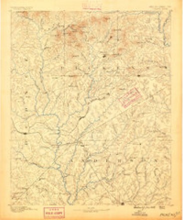
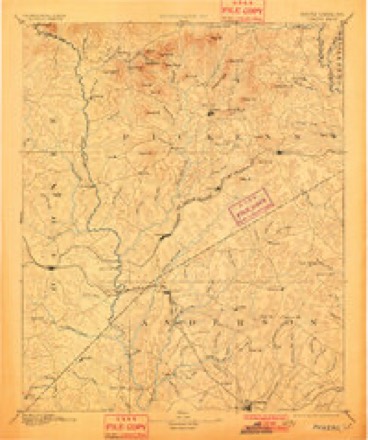
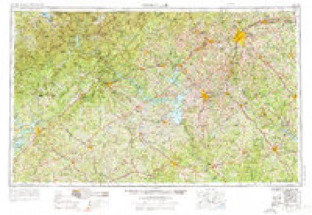
17 topographic sheets cover this place, the earliest surveyed in 1888 and the latest in 1991. It stands in the Pendleton census division. It lies in ZIP code area 29625. It stands on Hurricane Creek. The Survey maps it on the Anderson North quadrangle.
On record in Denver
Buildings and businesses the archive holds for this place. Each opens its own page, with the source record it came from.
On the National Register within a mile 1 record
The National Register names another town for these. They stand within one mile of this settlement's coordinate.
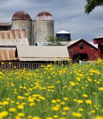 Denver Downs Farmsteadlisted 2007 · 0.7 miles away
Topographic sheets covering this place
8 surveys from 17 printed sheetsMatched by testing this settlement's coordinate against the published boundary of every sheet in the United States Geological Survey's historical collection. Each opens the scanned sheet at the Survey.
- 1888 USGS Pickens quadrangle1:125000
- 1894 USGS Pickens quadrangle1:125000, 6 printings
- 1954 USGS Greenville quadrangle1:250000, 3 printings
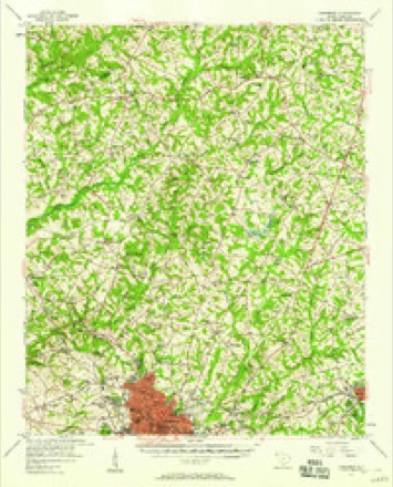
- 1957 USGS Anderson quadrangle1:62500, 2 printings
- 1958 USGS Greenville quadrangle1:250000
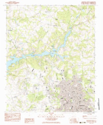
- 1983 USGS Anderson North quadrangle1:24000, 2 printings
- 1984 USGS Greenville quadrangle1:100000
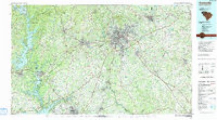
- 1991 USGS Greenville quadrangle1:100000
Fires near this place
87 since 1992Regional context, not property-specific evidence. The federal wildfire occurrence database lists 87 fires within 5 miles of Denver between 1992 and 2020, burning about 218 acres in total. 2 started naturally. 10 were recorded as arson. Distance is straight-line from the map coordinates, so a fire counted here may appear on a neighbouring settlement's page as well.
| Reported cause | Fires |
|---|---|
| Debris and open burning | 27 |
| Missing data/not specified/undetermined | 25 |
| Misuse of fire by a minor | 10 |
| Arson/incendiarism | 10 |
| Smoking | 5 |
| Recreation and ceremony | 4 |
| Natural | 2 |
| Equipment and vehicle use | 2 |
| Power generation/transmission/distribution | 1 |
| Railroad operations and maintenance | 1 |
The most recent of them, most recent first, with the day each was reported and the service that recorded it.
| Date | Cause | Size | Reported by | Name on the report |
|---|---|---|---|---|
| 4 September 1999 | Debris and open burning | 4.0 acres | South Carolina Forestry Commission | not named |
| 28 September 2007 | Debris and open burning | 1.0 acres | South Carolina Forestry Commission | not named |
| 8 August 1999 | Misuse of fire by a minor | 1.0 acres | South Carolina Forestry Commission | not named |
| 23 August 2019 | Arson/incendiarism | under an acre | South Carolina Forestry Commission | not named |
| 22 August 2008 | Debris and open burning | 2.0 acres | South Carolina Forestry Commission | not named |
| 16 August 2011 | Misuse of fire by a minor | under an acre | South Carolina Forestry Commission | not named |
| 15 August 2016 | Debris and open burning | 1.0 acres | South Carolina Forestry Commission | not named |
| 12 August 2008 | Debris and open burning | 2.0 acres | South Carolina Forestry Commission | not named |
Settlements close enough to share some of these fires:
Mines and quarries near this place
3 within 5 milesRegional context, not property-specific evidence. The federal mineral resources record lists 3 workings within 5 miles of Denver: 1 past producer, 1 unknown, 1 prospect. None of them still produces. What was taken out: Stone, Crushed/Broken, Iron, Titanium, Mica, Gemstone. Distance is straight-line from the map coordinates, so a quarry counted here may appear on a neighbouring settlement's page as well.
| Where | Site | Commodity | Status | Recorded |
|---|---|---|---|---|
| Mcconnell Prospect | Mica, Gemstone | Prospect | ||
| Smith | Iron, Titanium | Unknown | Magnetite Vein | |
| Unnamed Crushed Stone Pit | Stone, Crushed/Broken | Past Producer | Granite Pluton |
Storms near this place
21 since 2009Regional context, not property-specific evidence. The National Weather Service names Denver in 21 storm reports between 2009 and 2024: 12 thunderstorm wind, 6 hail, 2 flash flood, 1 flood. No death or injury is recorded in these reports. Each account below is quoted exactly as the forecast office filed it, from the NOAA Storm Events Database, and each date opens the federal record of that event.
| When | Event | Place named | Harm | What the report says |
|---|---|---|---|---|
| June 2010 | Thunderstorm Wind | Denver | $250,000 | Numerous trees and power lines were blown down across the north and east side of Anderson. One tree fell through a residence on Towne Creek Trl, and another heavily damaged a home on Marshall Ave. The roof of a business was damaged near the intersection of East North Ave and Whitehall Rd. Several trees fell on automobiles. The roof was blown off a barn near the intersection of Hayes Rd and highway 28. |
| October 2021 | Flash Flood | Denver | $50,000 | County comms reported flash flooding developed over northeast Anderson County after 3 to 5 inches of rain fell in just a couple of hours in association with a slow-moving thunderstorm. Affected streams included Jones Creek, which inundated Scotts Bridge Rd and also completely washed out Shackleburg Rd. A motorist was briefly trapped and had to be rescued after high water swept away his vehicle on Scotts Bridge Rd. A couple of other vehicles were also trapped in high water in this area. Hurricane Creek also inundated Highway 17, causing the highway to be closed for some time. |
| October 2021 | Flood | Denver | $1,000 | Although heavy rain ended across Anderson County during the morning, runoff from the earlier rainfall resulted in high water conditions persisting along streams in the northeast part of the county, with multiple roads remaining flooded and closed into the afternoon. Additional flooded roads were reported in the Iva area in response to a cluster of slow-moving storms that moved through there earlier in the morning. |
| May 2020 | Flash Flood | Denver | $1,000 | Media and law enforcement reported flash flooding developed along small tributaries of Six and Twenty Creek, with one tributary inundating Slater Rd and another Dalrymple Rd near its intersection with Thompson Rd. Total 24-hour rainfall of 4 to 6 inches was reported across much of the northern half of Anderson County on the 19th and 20th. |
| August 2024 | Thunderstorm Wind | Denver | - | Public reported multiple large trees blown down in the area around Upper View Terrace. |
| May 2023 | Thunderstorm Wind | Denver | - | County comms reported multiple trees blown down at the intersection of Dixon Rd and Thaxton Place Ct. |
| August 2021 | Thunderstorm Wind | Denver | - | County comms reported trees blown down on Liberty Highway near I-85 and other trees down in the area around Glenwood Ave and Edgewood Ave. |
| April 2020 | Thunderstorm Wind | Denver | - | Media reported multiple trees blown down along Harris Bridge Rd. |
| April 2016 | Hail | Denver | - | Spotter reported quarter size hail off I-85. |
| November 2016 | Thunderstorm Wind | Denver | - | Public reported (via Social Media) roof damage and power lines down in the Denver Downs area. Multiple sources reported trees and large limbs blown down in the same area, including on Lebanon Rd, Hickory Ln, and Mountain Springs Rd, with at least one additional tree blown down along Highway 29 closer to Williamston. |
| June 2015 | Thunderstorm Wind | Denver | - | County comms reported a tree blown down on I-85 in northwest Anderson County and another tree down on Phillips Rd. |
| June 2012 | Thunderstorm Wind | Denver | - | Multiple trees and large limbs were blown down across the Anderson area. Also, several power poles were snapped along Travis Rd near highway 81. |
| August 2011 | Thunderstorm Wind | Denver | - | A tree and large limbs were blown down on Chantilly Lane near Interstate 85. |
| June 2010 | Thunderstorm Wind | Denver | - | A tree was blown down on Royal American Rd about 6 miles northwest of Anderson. |
| April 2010 | Thunderstorm Wind | Denver | - | Trees were blown down near I-85 north of Anderson. |
| May 2010 | Thunderstorm Wind | Denver | - | A tree and multiple large limbs, up to 5 inches in diameter, were blown down on Shackleburg Rd. |
| June 2010 | Hail | Denver | - | Numerous reports of quarter to golf ball size hail were received in a swath from near exit 19 on I-85 to about 10 miles southeast of Anderson. The swath was quite broad affecting areas from the east side of Anderson to the Belton area. |
| April 2009 | Hail | Denver | - | Hail covered the ground. |
| April 2009 | Hail | Denver | - | Hail reported on Clemson Blvd. |
| June 2012 | Hail | Denver | - | no account filed |
| June 2011 | Hail | Denver | - | no account filed |
Nearest settlements
The eight closest, with where each one stands in the county. Distances are straight-line, computed from the Geographic Names Information System coordinates.
| Map | Place | Distance | Sheets |
|---|---|---|---|
| Welcome | 0.9 miles | 17 | |
| Leeward Landing | 1.0 miles | 17 | |
| Chateau Woods | 1.2 miles | 17 | |
| Hunters Trail | 1.4 miles | 17 | |
| Sandy Springs | 1.6 miles | 17 | |
| Pine Acres | 1.6 miles | 17 | |
| New Salem | 1.6 miles | 17 | |
| Bridlewood | 1.9 miles | 17 |
Provenance
This settlement is recorded in the Geographic Names Information System as feature 1231223. The sheet list is computed by point-in-boundary test against the United States Geological Survey's historical topographic inventory. Both are works of the United States government and carry no copyright under 17 U.S.C. 105.
Wildfire. Short, Karen C. 2022. Spatial wildfire occurrence data for the United States, 1992-2020 [FPA_FOD_20221014]. 6th Edition. Fort Collins, CO: Forest Service Research Data Archive. https://doi.org/10.2737/RDS-2013-0009.6 Collected with United States Government funding and usable without additional permissions or fees.
Mines and quarries. USGS Mineral Resources Data System (MRDS) https://mrdata.usgs.gov/mrds/ A work of the United States government, no copyright under 17 U.S.C. 105.
Storms. NOAA National Centers for Environmental Information, Storm Events Database https://www.ncei.noaa.gov/stormevents/ A work of the United States government, no copyright under 17 U.S.C. 105. Narratives are quoted verbatim from the National Weather Service report and are not edited or summarised.