 Block
Drayton, South Carolina
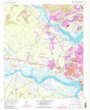
25 topographic sheets cover this place, the earliest surveyed in 1919 and the latest in 1990. It stands in the West Ashley census division. It lies in ZIP code area 29414. It stands on Keivling Creek. The Survey maps it on the Johns Island quadrangle.
On record in Drayton
Buildings and businesses the archive holds for this place. Each opens its own page, with the source record it came from.
On the National Register within a mile 1 record
The National Register names another town for these. They stand within one mile of this settlement's coordinate.
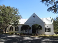 St. Andrews Episcopal Churchlisted 1973 · 0.7 miles away
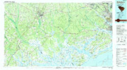
Topographic sheets covering this place
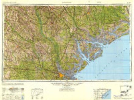
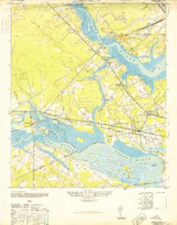
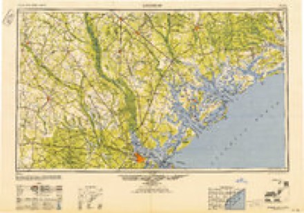
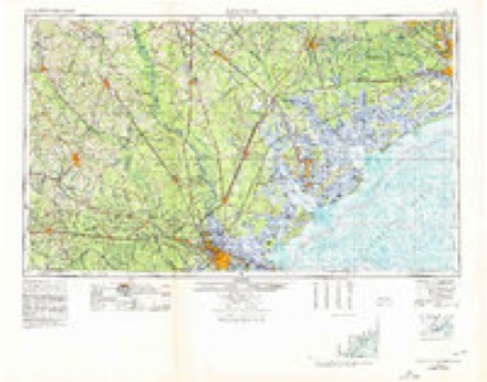
12 surveys from 25 printed sheetsMatched by testing this settlement's coordinate against the published boundary of every sheet in the United States Geological Survey's historical collection. Each opens the scanned sheet at the Survey.
- 1919 USGS Johns Island quadrangle1:21120, 2 printings
- 1920 USGS Ravenels quadrangle1:62500, 3 printings
- 1944 USGS Ravenels quadrangle1:62500
- 1947 USGS Savannah quadrangle1:250000
- 1948 USGS Johns Island quadrangle1:24000, 3 printings
- 1948 USGS Savannah quadrangle1:250000
- 1957 USGS Savannah quadrangle1:250000, 4 printings
- 1958 USGS Johns Island quadrangle1:24000, 5 printings
- 1960 USGS Savannah quadrangle1:250000
- 1961 USGS Savannah quadrangle1:250000, 2 printings
- 1986 USGS Walterboro quadrangle1:100000
- 1990 USGS Walterboro quadrangle1:100000
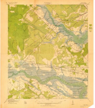
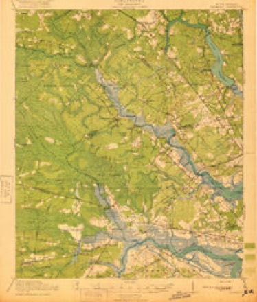
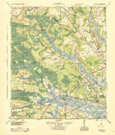
Photographs
3 photographs, 1938Taken for the Office of War Information and the Farm Security Administration, who photographed the country between 1935 and 1944. Works of United States government photographers, with no known restriction on use. Each opens its catalogue record.

Johnston, Frances Benjamin, 1938. Library of Congress
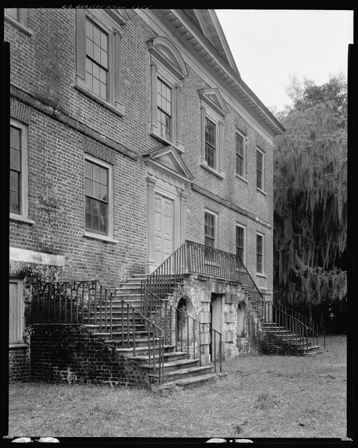
Johnston, Frances Benjamin, 1938. Library of Congress
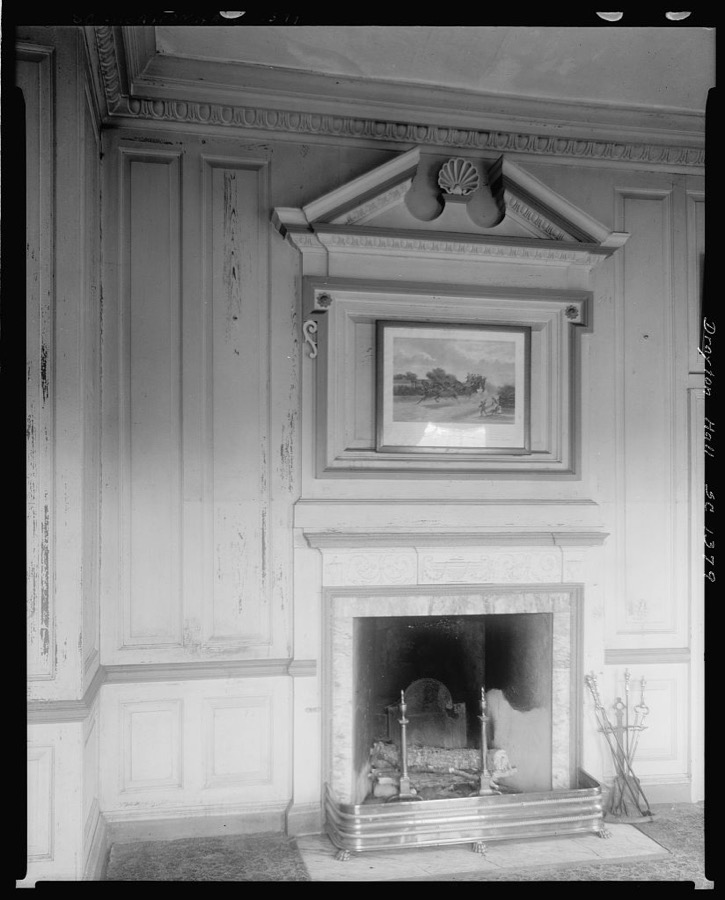
Johnston, Frances Benjamin, 1938. Library of Congress
Fires near this place
34 since 1993Regional context, not property-specific evidence. The federal wildfire occurrence database lists 34 fires within 5 miles of Drayton between 1993 and 2020, burning about 200 acres in total. None started naturally. 8 were recorded as arson. Distance is straight-line from the map coordinates, so a fire counted here may appear on a neighbouring settlement's page as well.
| Reported cause | Fires |
|---|---|
| Debris and open burning | 12 |
| Missing data/not specified/undetermined | 9 |
| Arson/incendiarism | 8 |
| Misuse of fire by a minor | 3 |
| Railroad operations and maintenance | 1 |
| Recreation and ceremony | 1 |
The most recent of them, most recent first, with the day each was reported and the service that recorded it.
| Date | Cause | Size | Reported by | Name on the report |
|---|---|---|---|---|
| 4 August 1999 | Arson/incendiarism | under an acre | South Carolina Forestry Commission | not named |
| 29 August 1998 | Debris and open burning | under an acre | South Carolina Forestry Commission | not named |
| 5 July 2011 | Arson/incendiarism | 2.0 acres | South Carolina Forestry Commission | not named |
| 3 July 1998 | Debris and open burning | 1.0 acres | South Carolina Forestry Commission | not named |
| 3 July 1998 | Debris and open burning | under an acre | South Carolina Forestry Commission | not named |
| 29 July 1998 | Debris and open burning | under an acre | South Carolina Forestry Commission | not named |
| 24 July 1998 | Debris and open burning | under an acre | South Carolina Forestry Commission | not named |
| 4 June 1999 | Arson/incendiarism | 5.0 acres | South Carolina Forestry Commission | not named |
Settlements close enough to share some of these fires:
Mines and quarries near this place
6 within 5 milesRegional context, not property-specific evidence. The federal mineral resources record lists 6 workings within 5 miles of Drayton: 2 unknowns, 2 producers, 1 past producer, 1 plant. 3 still produce. What was taken out: Sand and Gravel, Construction, Phosphorus-Phosphates, Uranium, Fluorine-Fluorite. Distance is straight-line from the map coordinates, so a quarry counted here may appear on a neighbouring settlement's page as well.
| Where | Site | Commodity | Status | Recorded |
|---|---|---|---|---|
| Charleston Region Deposit | Phosphorus-Phosphates, Uranium, Fluorine-Fluorite | Past Producer | 1867 | |
| North Charleston Plant | Sand and Gravel, Construction | Plant | ||
| Truluck Pit North | Sand and Gravel, Construction | Unknown | Sedimentary | |
| Truluck Pit North | Sand and Gravel, Construction | Producer | ||
| Ware Brothers Pit | Sand and Gravel, Construction | Unknown | Sedimentary | |
| Ware Brothers Pit | Sand and Gravel, Construction | Producer |
Storms near this place
41 since 2006Regional context, not property-specific evidence. The National Weather Service names Drayton in 41 storm reports between 2006 and 2026: 22 thunderstorm wind, 11 hail, 6 flash flood, 2 lightning. The reports record 1 injury. Each account below is quoted exactly as the forecast office filed it, from the NOAA Storm Events Database, and each date opens the federal record of that event.
| When | Event | Place named | Harm | What the report says |
|---|---|---|---|---|
| July 2010 | Lightning | Drayton | 1 hurt | The public reported lightning entered their home through the chimney and struck a teenage boy, 1 mile north-northwest of Shadowmoss Plantation in the Charleston, South Carolina metropolitan area. Emergency Medical Technicians treated the boy at the home where he was struck by the lightning. Newspaper and print media reported, The teen likely experienced the effects of a flash. A flash happens when a person is near an electrical current, but not actually hit with it. The proximity to the current can result in anything from tingling to actually knocking a person off their feet. Several Charleston-based news agencies have talked to the teen who said the lightning traveled down the chimney and came in through the fireplace before striking him in the thigh. After the flash, the teen reported having a tingling sensation in his leg. EMS officials said there were no burns or damage around the home and the tingling sensation the teen reported is consistent with a flash. |
| September 2013 | Lightning | Drayton | $100,000 | The Charleston County 911 call center reported lightning causing a house fire on Cabrill Drive. |
| September 2017 | Flash Flood | Drayton | $50,000 | The Crosstowne Christian Church on Bees Ferry Road flooded with at least one foot of water reported inside. Flooding occurred when Church Creek overflowed its banks in the afternoon. A nearby river and rain gauge on Church Creek measured a nearly 5 foot rise in the creek level in response to 8.97 inches of storm total rainfall due to Tropical Storm Irma. Winners Circle was also flooded and impassable along Church Creek on the other side of Bees Ferry Road. |
| October 2008 | Flash Flood | Drayton | $50,000 | A county official reported that 32 units in the Bridge Point Condominiums in Shadowmoss, South Carolina sustained some degree of damage from 2 to 10 inches of water. |
| July 2020 | Thunderstorm Wind | Drayton | $15,000 | The Post and Courier reported that the historic White Bridge at Magnolia Plantation and Gardens was seriously damaged by a fallen tree. The large tree landed on the bridge, warped the deck, caused major structural cracks and destroyed most of the railing and posts on the left side of the ramp. |
| October 2008 | Flash Flood | Drayton | $7,500 | The public reported water in numerous kitchens and garages of homes around the 15th fairway at Shadowmoss Golf Club in Shadowmoss, South Carolina. |
| December 2013 | Thunderstorm Wind | Drayton | $1,000 | The Charleston County 911 call center reported a tree down at the intersection of Ashley River Road and Rhett Butler Drive. |
| June 2013 | Thunderstorm Wind | Drayton | $1,000 | Law enforcement reported one tree down along Bees Ferry Road and Shadowmoss Parkway. |
| July 2012 | Thunderstorm Wind | Drayton | $1,000 | One tree was reported down near the intersection of Shadowmoss Parkway and Ashley River Road. |
| August 2011 | Thunderstorm Wind | Drayton | $1,000 | The public reported a tree down at Shadowmoss golf course. |
| July 2008 | Thunderstorm Wind | Drayton | $1,000 | One 40 foot tall tree and numerous 3 to 5 inch diameter tree limbs were reported down in the Village Green subdivision. |
| November 2006 | Thunderstorm Wind | Drayton | $1,000 | High winds ripped vinyl siding off house. |
| April 2008 | Thunderstorm Wind | Drayton | $750 | A trained weather spotter reported several large tree limbs 6 to 8 inches in diameter were snapped off of several trees by strong thunderstorm winds. |
| July 2017 | Thunderstorm Wind | Drayton | $500 | South Carolina Highway Patrol reported a tree down on Ashley River Road near Magnolia Gardens. |
| August 2009 | Thunderstorm Wind | Drayton | $500 | The broadcast media relayed a report of a tree blown down along Highway 61 in the MacLaura Hall subdivision, 4 miles northwest of West Ashley, South Carolina. |
| March 2026 | Hail | Drayton | - | A retired NWS employee reported penny sized hail in the Village Green subdivision. |
| August 2024 | Flash Flood | Drayton | - | The water level on Church Creek near West Ashley was 6.51 ft and rising. Moderate flood stage is 6.5 ft. At 6.5 ft, water from the creek commonly impacts Crosstowne Church. |
| July 2022 | Hail | Drayton | - | A former NWS employee reported penny sized hail on Fieldstone Circle. |
| July 2022 | Thunderstorm Wind | Drayton | - | A picture was shared via social media of a tree down on Ashley River Road near MacLaura Hall Avenue. |
| June 2022 | Thunderstorm Wind | Drayton | - | The public relayed pictures via email of many large tree limbs blown down on a property near the Ashley River in North Charleston, including some which damaged a fence. Several trees and numerous large tree branches were also blown down on Flynn Road in Wando Woods Subdivision. Several residences sustained minor damage due to flying debris in strong winds. Damage included broken windows as well as missing roof shingles and pieces of siding. |
| June 2022 | Thunderstorm Wind | Drayton | - | A National Weather Service Storm Survey Team confirmed straight-line thunderstorm wind damage consistent with an estimated maximum wind speed of 70 to 75 mph in the Wando Woods Subdivision. The most concentrated damage was found along Flynn Drive west of Holbird Street where numerous medium to large trees limbs were snapped off. Flying debris broke a few windows and produced minor shingle and exterior damage to north and west facing surfaces of a few homes. A large trampoline was also propelled 150 feet toward the southeast of its original location and destroyed. |
| June 2021 | Hail | Drayton | - | The public reported quarter size hail in Grand Oak Plantation. |
| April 2017 | Hail | Drayton | - | A spotter reported ping pong size to golf ball size hail. |
| April 2017 | Hail | Drayton | - | A trained spotter reported penny size hail. |
| July 2017 | Thunderstorm Wind | Drayton | - | A report of tree limbs down averaging 5 to 6 inches in diameter was received via Twitter. |
| April 2016 | Thunderstorm Wind | Drayton | - | A NWS employee reported a tree down on Highway 61. |
| July 2016 | Thunderstorm Wind | Drayton | - | The local broadcast media passed along a report of a tree down near the intersection of Highway 61 and Bees Ferry Road. |
| July 2016 | Thunderstorm Wind | Drayton | - | The local broadcast media passed along a report of multiple trees down on Highway 61 near Magnolia Plantation. |
| October 2016 | Flash Flood | Drayton | - | Local media relayed a report of flooding in Charlestowne Village Mobile Home Park and surrounding businesses across from the Jerry Zucker Middle School on Dorchester Road. Water depth in the mobile home park and businesses were unknown. Heavy rains were associated with Hurricane Matthew. |
| July 2015 | Thunderstorm Wind | Drayton | - | The public relayed pictures of several large trees blown down on North Shirley Drive, Water View Circle, and Water View Drive. |
| July 2015 | Thunderstorm Wind | Drayton | - | An off duty National Weather Service employee reported about ten large trees snapped off and uprooted along Fieldstone Circle. Shingles were also blown off of some homes. |
| July 2015 | Thunderstorm Wind | Drayton | - | South Carolina Highway Patrol reported a tree down on Ashley River Road in front of Magnolia Plantation. |
| July 2015 | Thunderstorm Wind | Drayton | - | A few homes experienced shingle damage in the Covington Hills neighborhood just off Dorchester Road near the Micheaux Parkway intersection. A few storage shed doors were also blown off in the neighborhood. |
| May 2015 | Thunderstorm Wind | Drayton | - | Charleston County dispatch reports three trees down in the Shadowmoss area. One tree was down on Muirfield Parkway, another on Trail Hollow Drive, and also on Shadowmoss Parkway. |
| June 2013 | Hail | Drayton | - | A spotter reported quarter size hail in Shadowmoss subdivision in West Ashley. |
| June 2013 | Hail | Drayton | - | The public reported ping pong size hail on Bent Hickory Road. |
| June 2013 | Hail | Drayton | - | A spotter reported up to tennis ball size hail one mile south of the Highway 61 and Bees Ferry Road intersection. |
| April 2012 | Hail | Drayton | - | Public reported nickel size hail and winds near 40 to 50 mph at Village Green subdivision. |
| April 2011 | Hail | Drayton | - | The public reported quarter size hail along Glen Oaks Court. |
| April 2011 | Hail | Drayton | - | A trained spotter reported quarter size hail along Bayhill Drive. |
| October 2008 | Flash Flood | Drayton | - | The public reported that numerous roads in the Shadowmoss South Carolina subdivision were flooded and impassable. |
Nearest settlements
The eight closest, with where each one stands in the county. Distances are straight-line, computed from the Geographic Names Information System coordinates.
| Map | Place | Distance | Sheets |
|---|---|---|---|
| Fort Bull | 0.3 miles | 25 | |
| Shadowmoss | 0.5 miles | 25 | |
| Springfield | 0.6 miles | 25 | |
| Evanston Estates | 0.8 miles | 25 | |
| Fetteressa | 0.9 miles | 25 | |
| Ashley Villas | 0.9 miles | 25 | |
| Cohen Hill | 1.0 miles | 25 | |
| Ashley Acres | 1.1 miles | 25 |
Provenance
This settlement is recorded in the Geographic Names Information System as feature 1231239. The sheet list is computed by point-in-boundary test against the United States Geological Survey's historical topographic inventory. Both are works of the United States government and carry no copyright under 17 U.S.C. 105.
Wildfire. Short, Karen C. 2022. Spatial wildfire occurrence data for the United States, 1992-2020 [FPA_FOD_20221014]. 6th Edition. Fort Collins, CO: Forest Service Research Data Archive. https://doi.org/10.2737/RDS-2013-0009.6 Collected with United States Government funding and usable without additional permissions or fees.
Mines and quarries. USGS Mineral Resources Data System (MRDS) https://mrdata.usgs.gov/mrds/ A work of the United States government, no copyright under 17 U.S.C. 105.
Storms. NOAA National Centers for Environmental Information, Storm Events Database https://www.ncei.noaa.gov/stormevents/ A work of the United States government, no copyright under 17 U.S.C. 105. Narratives are quoted verbatim from the National Weather Service report and are not edited or summarised.