 Block
Edisto Beach, South Carolina
16 topographic sheets cover this place, the earliest surveyed in 1920 and the latest in 1978. It stands in the Green Pond census division. It lies in ZIP code area 29438. It stands on South Edisto River. The Survey maps it on the Edisto Beach quadrangle. 1,033 people lived here at the 2020 count. It stands 7 feet above sea level.
On record in Edisto Beach
Buildings and businesses the archive holds for this place. Each opens its own page, with the source record it came from.
Surveyed buildings and structures 1 record
- Edisto State Park, 8377 State Cabin Road, Edisto Beachfederal building survey, 1 photograph
Population over time
2 figuresEdisto Beach grew from 414 to 1,033 between 2010 and 2020. These are the recorded population figures Wikidata holds for this place, reached through the Geographic Names Information System number this page is keyed on rather than by name, so they belong to this place and not to another of the same name. Most are census counts, but not all are: an early figure may be a founding or settlement estimate, and an estimate published within five years of a census is left out. The change column is computed, and is left blank where more than 20 years separate a figure from the one before it, because a gap that long is not a change between two counts.
| Year | People | Change |
|---|---|---|
| 2010 | 414 | |
| 2020 | 1,033 | +619 (+150%) |
Topographic sheets covering this place
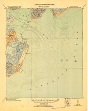
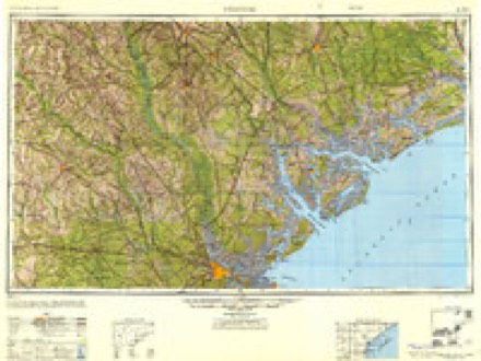
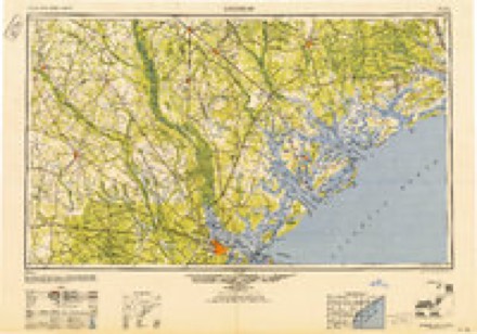
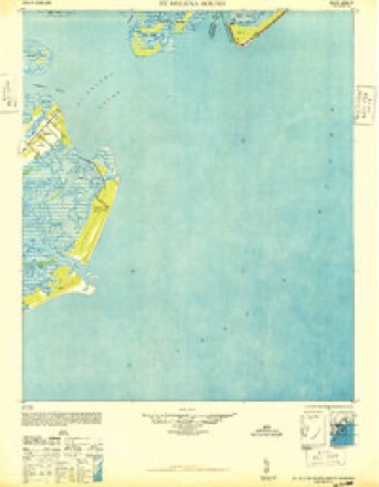
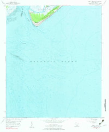
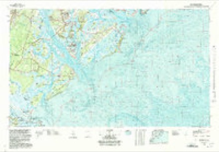
9 surveys from 16 printed sheetsMatched by testing this settlement's coordinate against the published boundary of every sheet in the United States Geological Survey's historical collection. Each opens the scanned sheet at the Survey.
- 1920 USGS St. Helena Sound quadrangle1:62500
- 1947 USGS Savannah quadrangle1:250000
- 1948 USGS Savannah quadrangle1:250000
- 1948 USGS St. Helena Sound quadrangle1:62500, 2 printings
- 1956 USGS Edisto Beach quadrangle1:24000, 2 printings
- 1957 USGS Savannah quadrangle1:250000, 4 printings
- 1960 USGS Savannah quadrangle1:250000
- 1961 USGS Savannah quadrangle1:250000, 2 printings
- 1978 USGS Beaufort quadrangle1:100000, 2 printings
Photographs
1 photograph, 2017Taken for the Office of War Information and the Farm Security Administration, who photographed the country between 1935 and 1944. Works of United States government photographers, with no known restriction on use. Each opens its catalogue record.
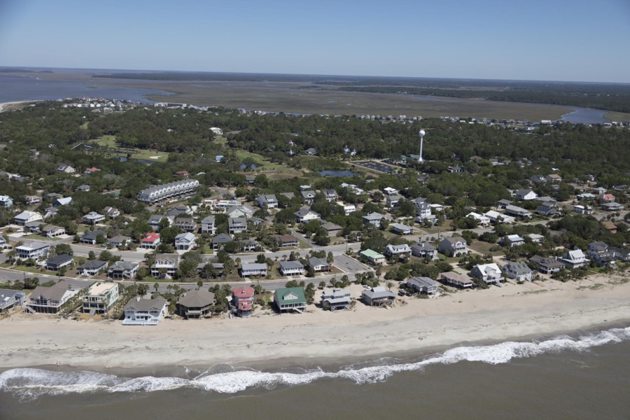
Highsmith, Carol M, 2017. Library of Congress
Fires near this place
11 since 1993Regional context, not property-specific evidence. The federal wildfire occurrence database lists 11 fires within 5 miles of Edisto Beach between 1993 and 2016, burning about 34 acres in total. None started naturally. 1 was recorded as arson. Distance is straight-line from the map coordinates, so a fire counted here may appear on a neighbouring settlement's page as well.
| Reported cause | Fires |
|---|---|
| Debris and open burning | 6 |
| Missing data/not specified/undetermined | 2 |
| Arson/incendiarism | 1 |
| Power generation/transmission/distribution | 1 |
| Equipment and vehicle use | 1 |
The most recent of them, most recent first, with the day each was reported and the service that recorded it.
| Date | Cause | Size | Reported by | Name on the report |
|---|---|---|---|---|
| 30 September 2013 | Power generation/transmission/distribution | under an acre | South Carolina Forestry Commission | not named |
| 21 July 1993 | Missing data/not specified/undetermined | 20 acres | South Carolina Forestry Commission | not named |
| 25 May 2012 | Debris and open burning | 1.5 acres | South Carolina Forestry Commission | not named |
| 2 April 1997 | Missing data/not specified/undetermined | under an acre | South Carolina Forestry Commission | not named |
| 8 March 2011 | Equipment and vehicle use | under an acre | South Carolina Forestry Commission | not named |
| 6 March 2009 | Debris and open burning | 9.5 acres | South Carolina Forestry Commission | not named |
| 13 March 2005 | Arson/incendiarism | under an acre | South Carolina Forestry Commission | not named |
| 22 February 2014 | Debris and open burning | under an acre | South Carolina Forestry Commission | not named |
Settlements close enough to share some of these fires:
Storms near this place
16 since 1997Regional context, not property-specific evidence. The National Weather Service names Edisto Beach in 16 storm reports between 1997 and 2025: 5 thunderstorm wind, 5 tornado, 4 hail, 1 lightning. No death or injury is recorded in these reports. Each account below is quoted exactly as the forecast office filed it, from the NOAA Storm Events Database, and each date opens the federal record of that event.
| When | Event | Place named | Harm | What the report says |
|---|---|---|---|---|
| July 2022 | Lightning | Edisto Beach | $15,000 | Colleton County dispatch reported a lightning strike to a residential building on the 1200 block of Hammocks Way. The strike caused a fire and damage to the structure. |
| June 2009 | Thunderstorm Wind | Edisto Beach | $10,000 | Law Enforcement reported street signs down, a destroyed fence, and windows blown out of vehicles near the pavilion on Palmetto Boulevard in Edisto Beach, South Carolina. |
| June 2008 | Thunderstorm Wind | Edisto Beach | $1,500 | The public reported a trees down near Edisto Beach Golf Club. |
| May 2006 | Thunderstorm Wind | Edisto Beach | $1,000 | no account filed |
| August 2025 | Flood | Edisto Beach | - | A Colleton County emergency manager reported a septic tank out of the ground along Jungle Road due to heavy rainfall in the area. |
| August 2024 | Tornado (EF1) | Edisto Beach | - | A National Weather Service Storm Survey Team confirmed an EF1 tornado with an estimated maximum wind speed of 97 mph in Edisto Island, South Carolina occurring from 835 PM to 845 PM EST. The tornado started in Colleton County, then briefly tracked across a small portion of Charleston County, then briefly returned back into Colleton County before crossing into Charleston County again and ending.||The first segment of the tornado, which originated in an outer rainband associated with Tropical Storm Debby over the nearshore Atlantic waters, moved onshore at Edisto Beach, South Carolina near the intersection of Highway 174 and Palmetto Boulevard. At the location the tornado moved onshore, it removed roof decking, roof shingles and siding to several homes. The Enmarket gas station also had some roof damage and some air conditioning units thrown from the roof. The tornado then moved north-northwest over a marsh region, snapping many hardwood trees while leaving Colleton County and entering Charleston County at a latitude/longitude of 32.513 N, 80.313 W. |
| August 2024 | Tornado (EF1) | Edisto Beach | - | A National Weather Service Storm Survey Team confirmed an EF1 tornado with an estimated maximum wind speed of 90 mph in Edisto Island, South Carolina occurring from 908 PM to 911 PM EST.||The brief tornado, associated with an outer rainband from Tropical Storm Debby, moved onshore along the south end of Edisto Island, South Carolina near the 2700 Block of Point Street, where it snapped and twisted some small trees and removed asphalt shingles to at least one home. The worst damage was on Palmetto Boulevard, where one home had a complete collapse of the porch and a significant portion of the roof removed. The tornado continued to move rapidly northwestward crossing around the 2700 Block of Myrtle Street, where it did some minor damage to the facia of at least one home. Just northwest, near the 2900 block of Lee Street, at least one home had a corner of the roof removed. The tornado then moved into the southern portion of the Plantation Golf Course where it dissipated. |
| August 2024 | Tornado (EF1) | Edisto Beach | - | A National Weather Service Storm Survey Team confirmed an EF1 tornado with an estimated maximum wind speed of 97 mph in Edisto Island, South Carolina occurring from 835 PM to 845 PM EST. The tornado started in Colleton County, then briefly tracked across a small portion of Charleston County, then briefly returned back into Colleton County before crossing into Charleston County once more and quickly ending. ||Along the tornado's third segment, it entered Colleton County from Charleston County at a latitude/longitude of 32.517 N, 80.320 W, taking a northwest path across a mix of land/marsh areas and eventually reaching another section of Palmetto Road, likely causing additional damage to structures and trees along its path before continuing on a northwest path and departing Colleton County into Charleston County at a latitude/longitude of 32.524 N, 80.336 W. |
| July 2022 | Tornado (EF0) | Edisto Beach | - | Colleton County Emergency Management received a report of a waterspout that moved onshore from the occupants at 902 Palmetto Boulevard on Edisto Beach. A section of metal roofing was tossed into nearby powerlines and caused a transformer to blow. |
| April 2020 | Tornado (EF2) | Edisto Beach | - | A National Weather Service Storm Survey Team confirmed an EF-2 tornado with a estimated maximum wind speed of 125 mph on Edisto Island, South Carolina. The tornado likely started as a waterspout off the coast and then moved inland across the southern end of Edisto Beach, before continuing a northeast track across a golf course. The tornado ripped portions or large sections of roofs off six homes. The home most impacted by the tornado was on the beach along the 3300 block of Palmetto Boulevard where glass doors and windows were broken in and large sections of the roof were removed. The wall facing the road of the home was pushed towards the road. As the tornado continued northeast, numerous trees were snapped off and uprooted, power lines were knocked down, a boat and several vehicles were damaged, and a trailer was flipped over. Numerous homes had windows blown out or suffered minor siding or roof damage. The tornado then dissipated in the marsh just northeast of Lybrand Street. |
| June 2008 | Hail | Edisto Beach | - | Nickel size hail and 30 to 40 mph winds were reported by a Park Ranger at the Edisto Beach State Park. |
| June 1998 | Thunderstorm Wind | Edisto Beach | - | Several trees and large limbs down. |
| September 1997 | Thunderstorm Wind | Edisto Beach | - | Several trees and large limbs down. |
| January 2006 | Hail | Edisto Beach | - | no account filed |
| June 1998 | Hail | Edisto Beach | - | no account filed |
| September 1997 | Hail | Edisto Beach | - | no account filed |
Nearest settlements
The eight closest, with where each one stands in the county. Distances are straight-line, computed from the Geographic Names Information System coordinates.
| Map | Place | Distance | Sheets |
|---|---|---|---|
| Seabrook | 5.0 miles | 18 | |
| Bennetts Point | 8.5 miles | 18 | |
| Fenwick | 13.4 miles | 17 | |
| Ashepoo Siding | 14.0 miles | 18 | |
| Wiggins | 14.0 miles | 18 | |
| Hickory Hill | 20.3 miles | 18 | |
| Jacksonboro | 21.0 miles | 16 | |
| Ashepoo | 21.3 miles | 18 |
Elsewhere
Matched on this settlement's Geographic Names Information System number rather than its name, so it cannot be a different place of the same name in another state.
| Wikipedia article on Edisto Beach | An encyclopaedic summary. Its text is share-alike, so it is linked here rather than copied. |
| Wikidata item Q1903825 | The structured record the population and elevation above come from. Public domain (CC0). |
Provenance
This settlement is recorded in the Geographic Names Information System as feature 1231260. The sheet list is computed by point-in-boundary test against the United States Geological Survey's historical topographic inventory. Both are works of the United States government and carry no copyright under 17 U.S.C. 105.
Wildfire. Short, Karen C. 2022. Spatial wildfire occurrence data for the United States, 1992-2020 [FPA_FOD_20221014]. 6th Edition. Fort Collins, CO: Forest Service Research Data Archive. https://doi.org/10.2737/RDS-2013-0009.6 Collected with United States Government funding and usable without additional permissions or fees.
Storms. NOAA National Centers for Environmental Information, Storm Events Database https://www.ncei.noaa.gov/stormevents/ A work of the United States government, no copyright under 17 U.S.C. 105. Narratives are quoted verbatim from the National Weather Service report and are not edited or summarised.