 Block
From the record
12 National Register listings published here.
Sources: the National Register database, National Park Service
108 topographic sheets and 6 fire insurance atlases across 1 place.
12 National Register listings published here.
Sources: the National Register database, National Park Service
Taken for the Office of War Information and the Farm Security Administration, who photographed the country between 1935 and 1944. Works of United States government photographers, with no known restriction on use. Each opens its catalogue record.
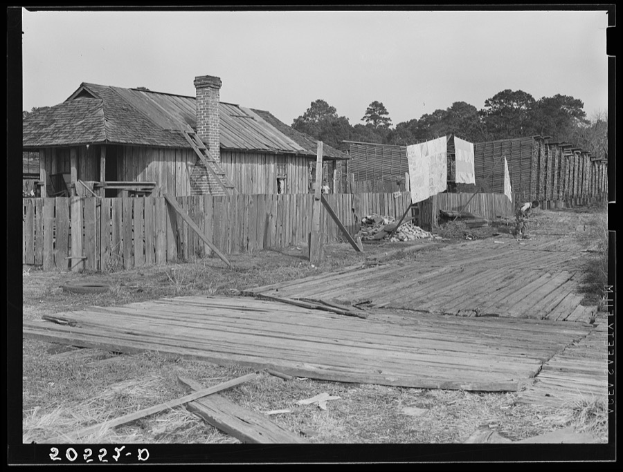
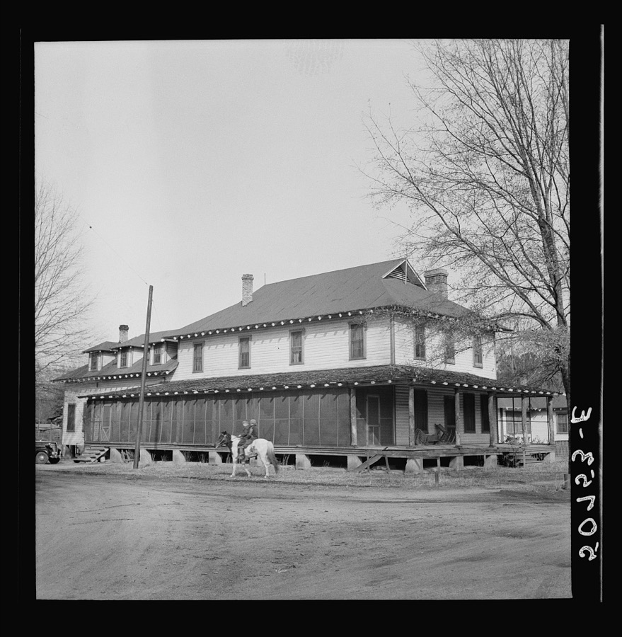
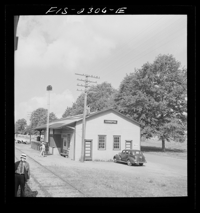
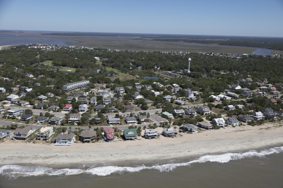
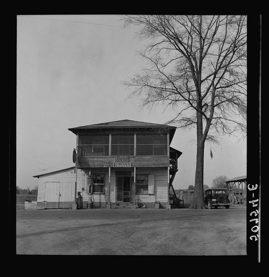
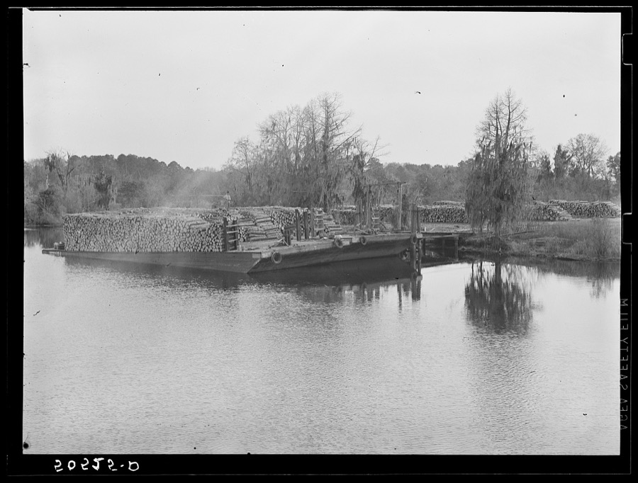
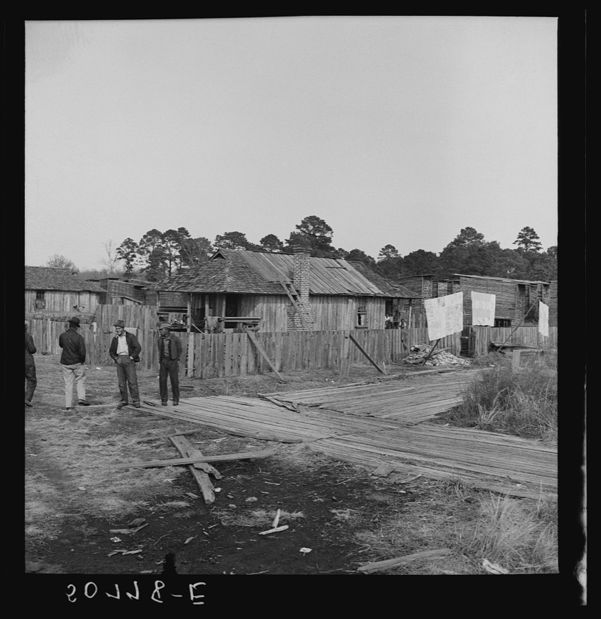
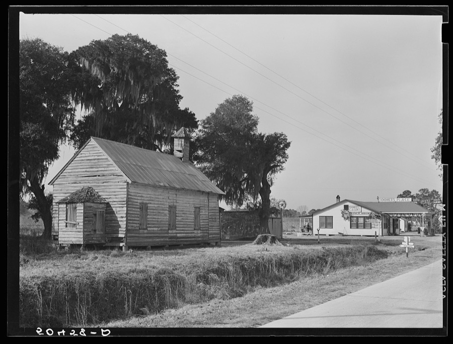
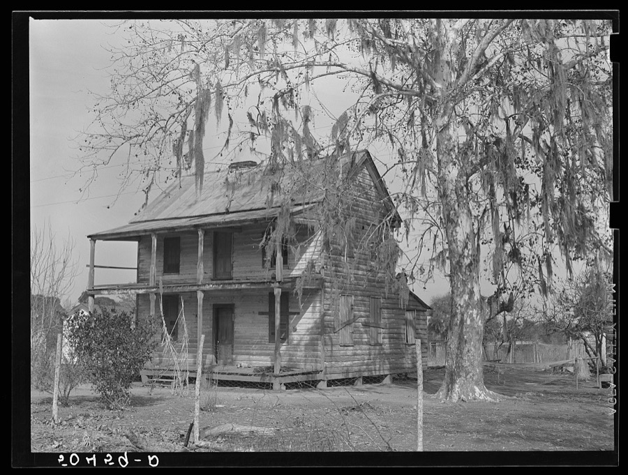
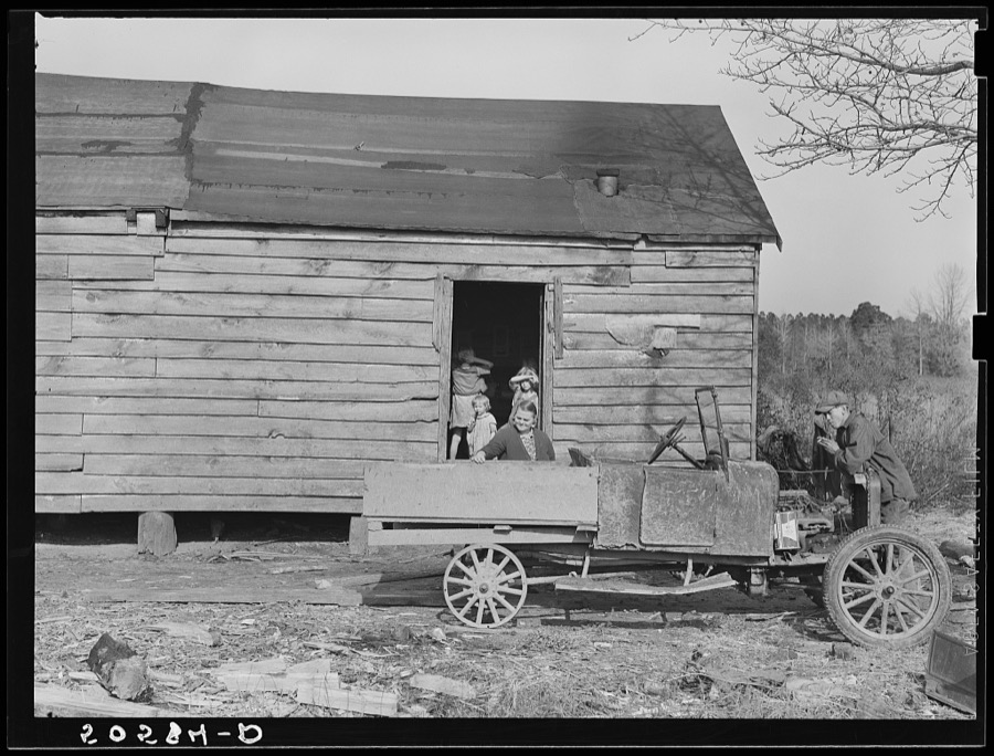
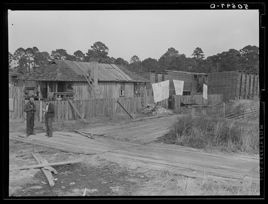
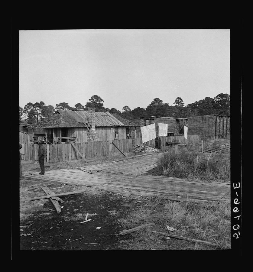
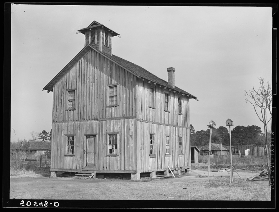
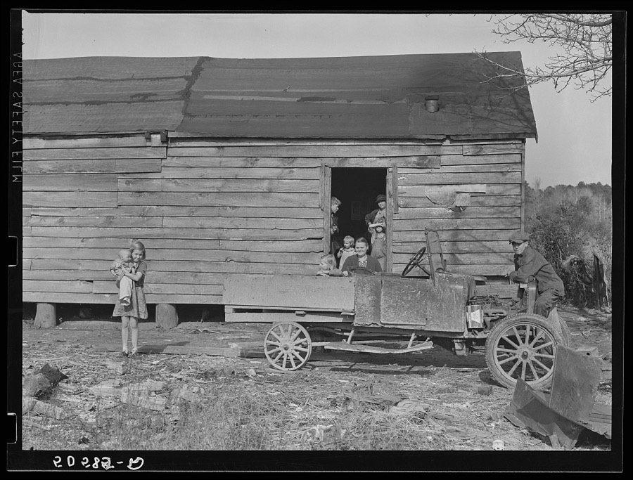
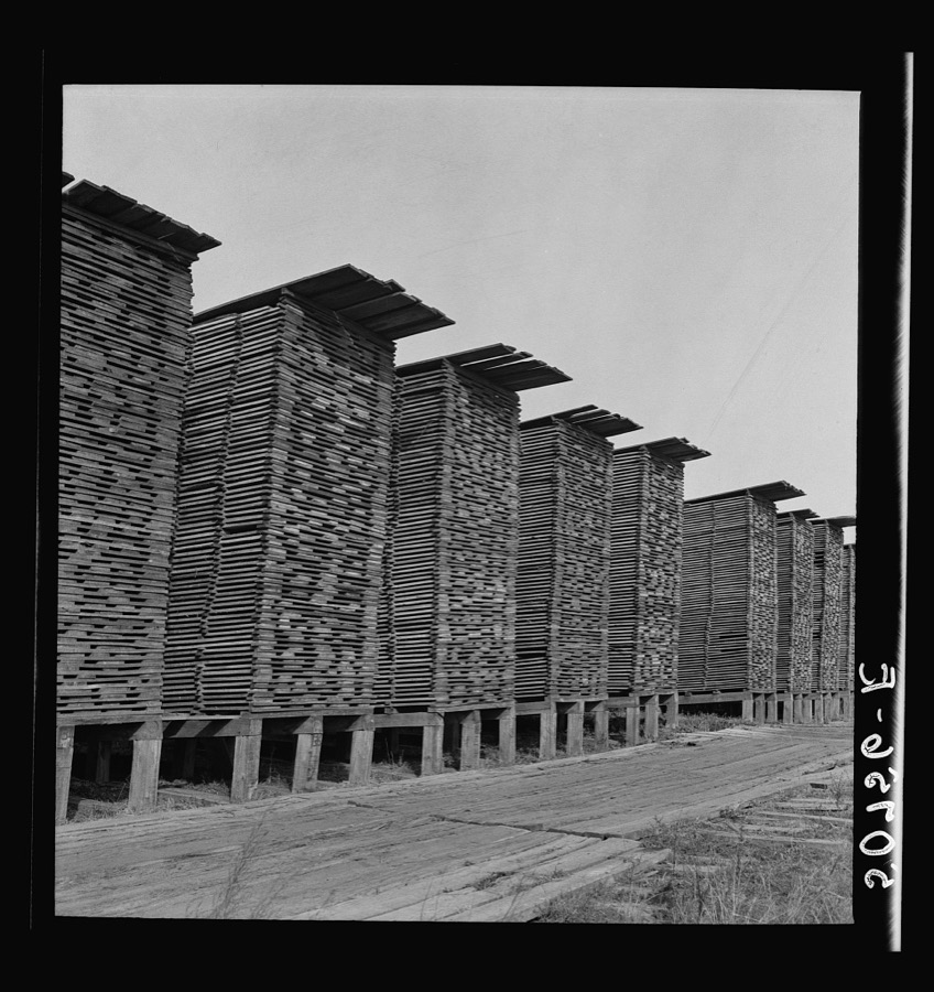
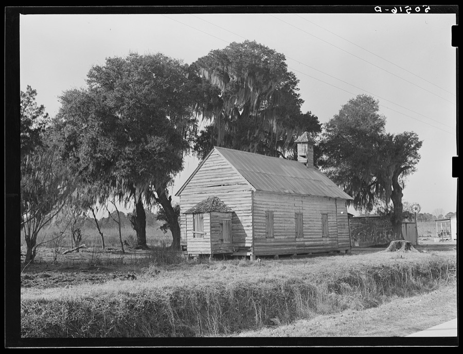
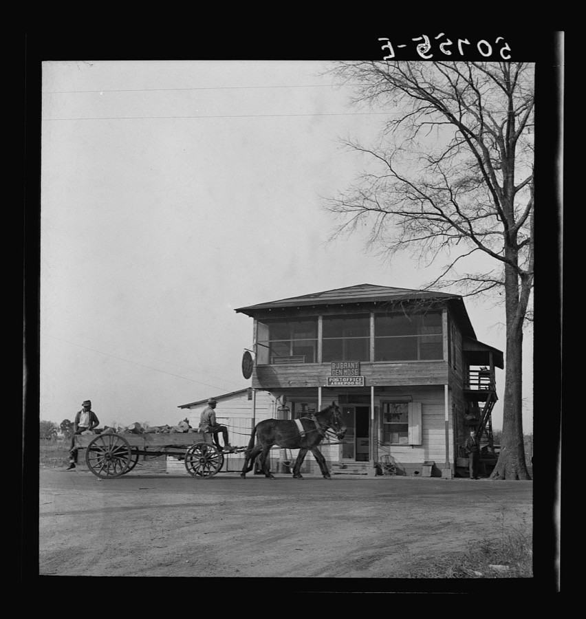
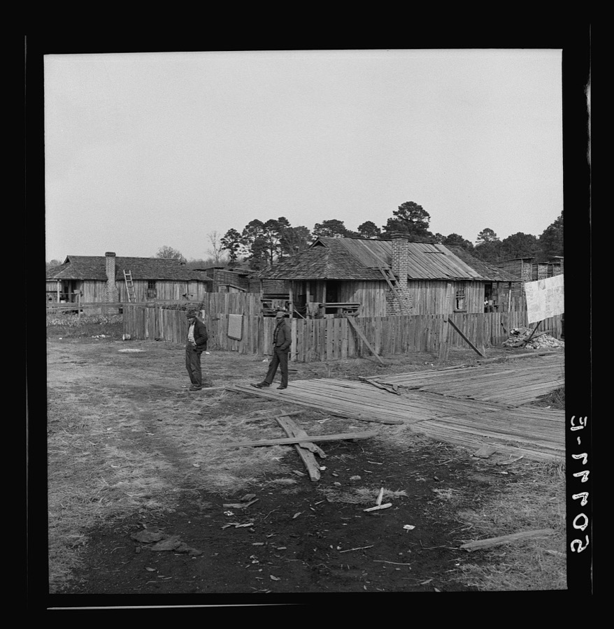
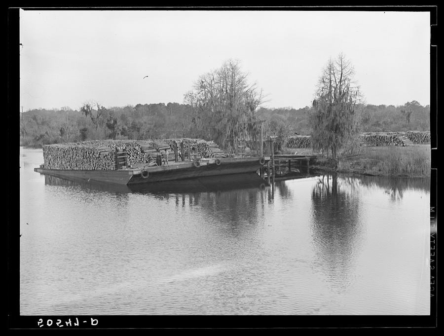
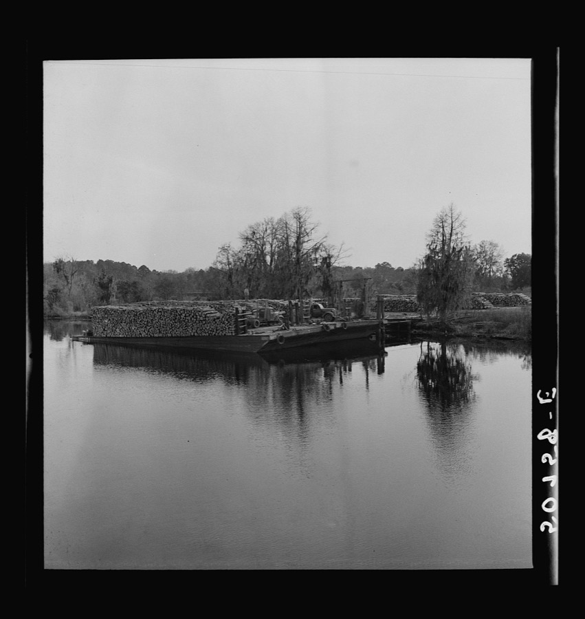
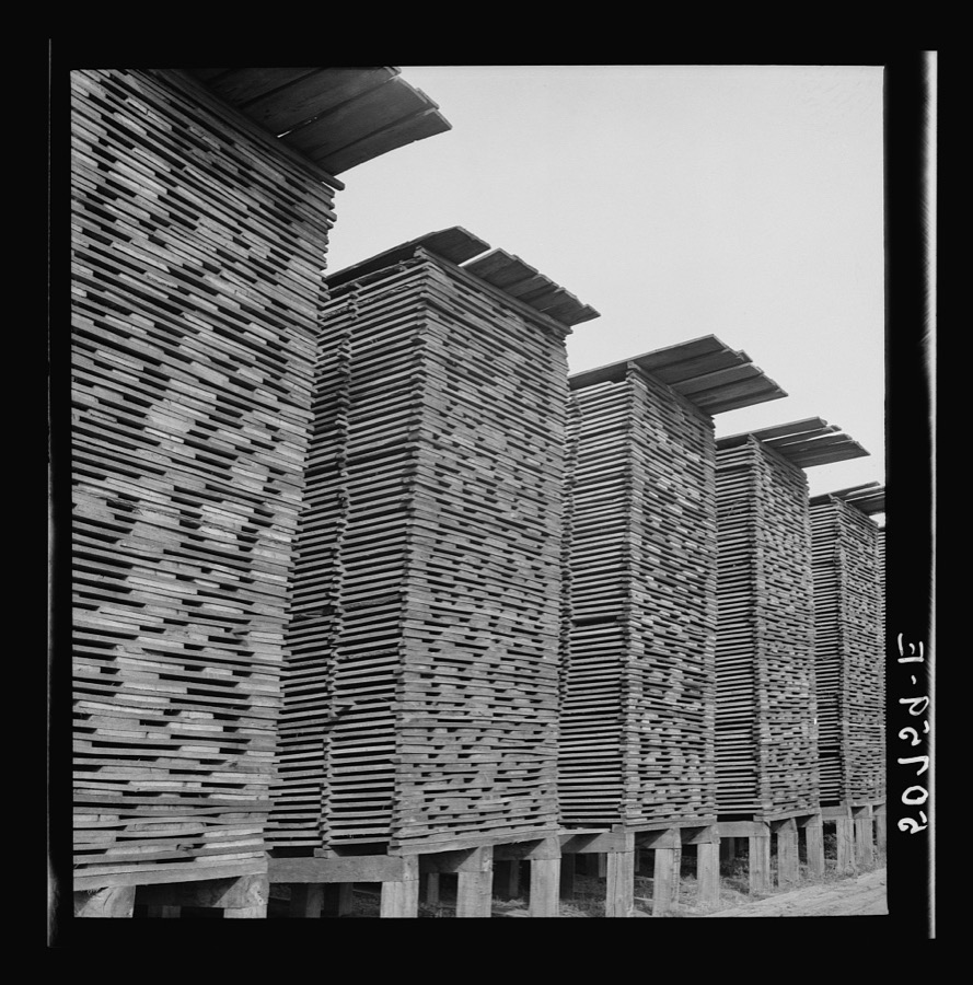
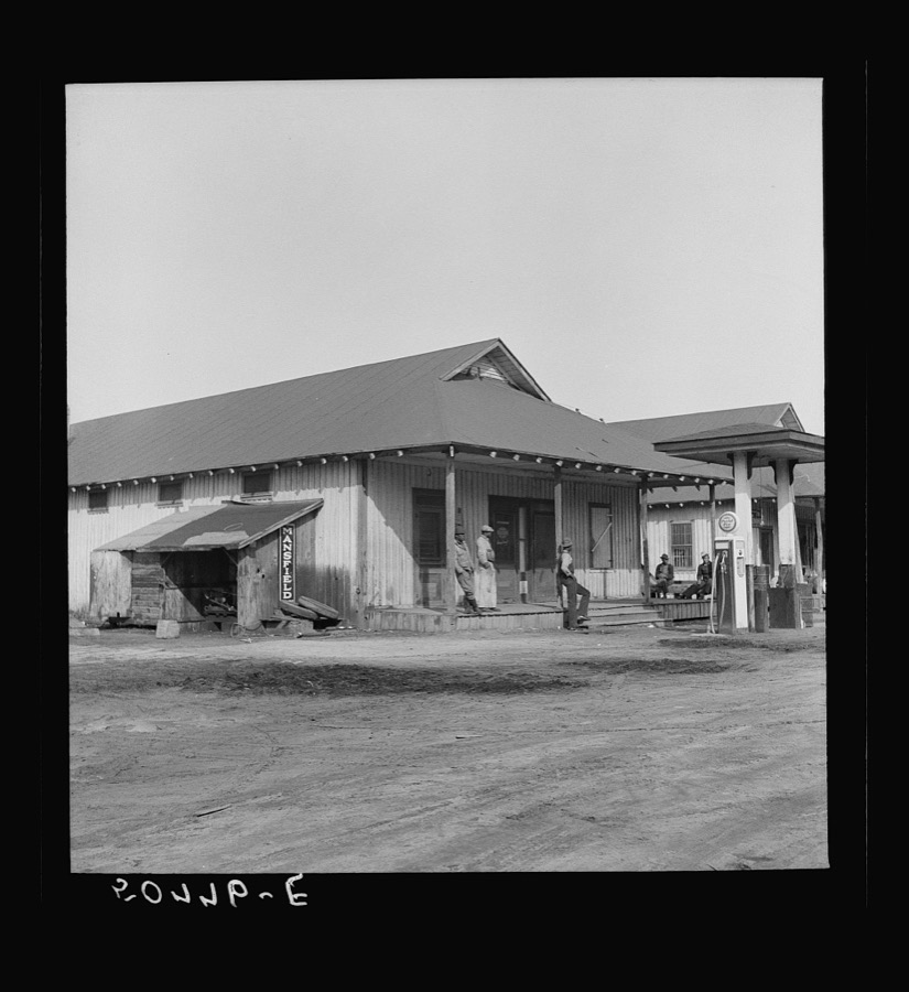
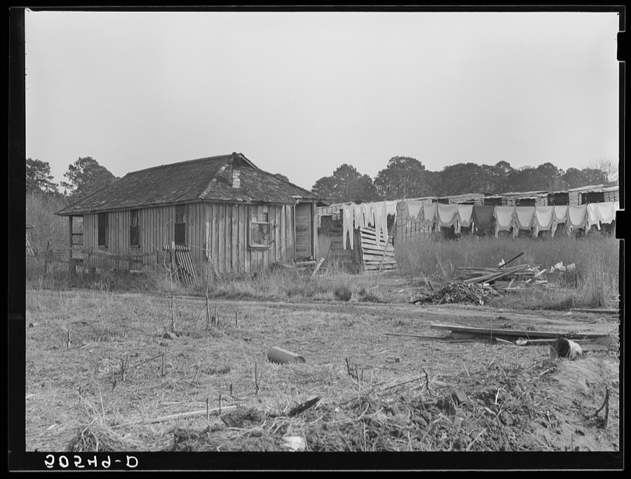
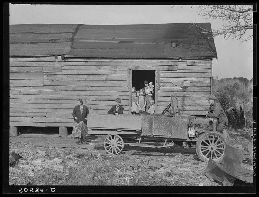
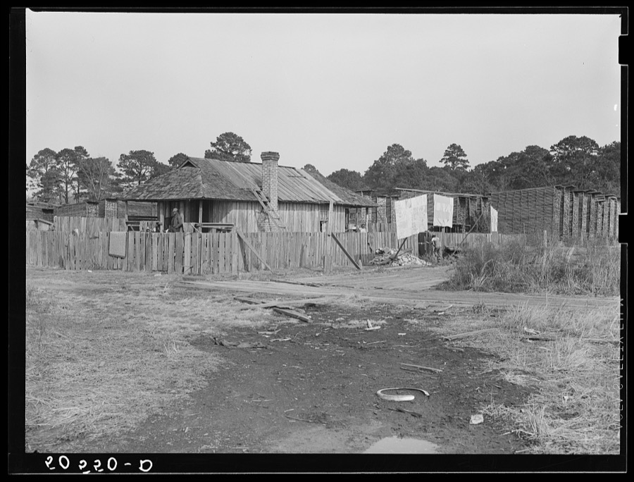

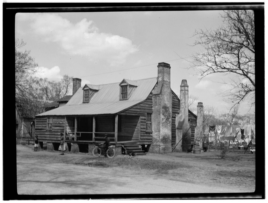
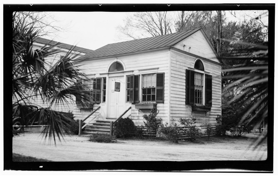
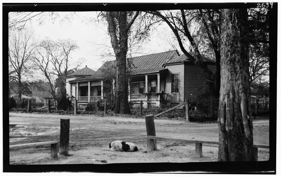
Every property in this county listed on the National Register of Historic Places, with the year it was listed and the federal nomination document.
| Photograph | Property | Type | Listed | Reference |
|---|---|---|---|---|
 | Colleton County Courthouse | building | 1971 | 71000765 |
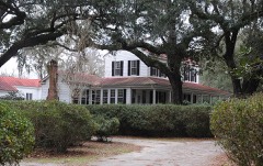 | Hickory Valley Historic District | district | 1980 | 80003666 |
 | Hotel Albert Commercial Block | building | 1999 | 99000395 |
 | Old Colleton County Jail | building | 1971 | 71000766 |
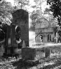 | Pon Pon Chapel | site | 1972 | 72001205 |
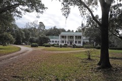 | Ravenwood Plantation | site | 1997 | 97000359 |
| Ruffin High and Elementary School | district | 2025 | 100011263 | |
 | St. James the Greater Catholic Mission | building | 2015 | 15000676 |
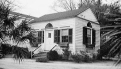 | Walterboro Historic District | district | 1980 | 80003667 |
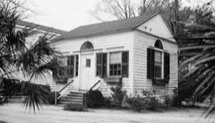 | Walterboro Historic District (Boundary Increase) | building | 1993 | 93000433 |
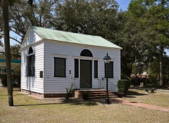 | Walterboro Library Society Building | building | 1971 | 71000767 |
| Tom Williams House | building | 1973 | 73001706 |
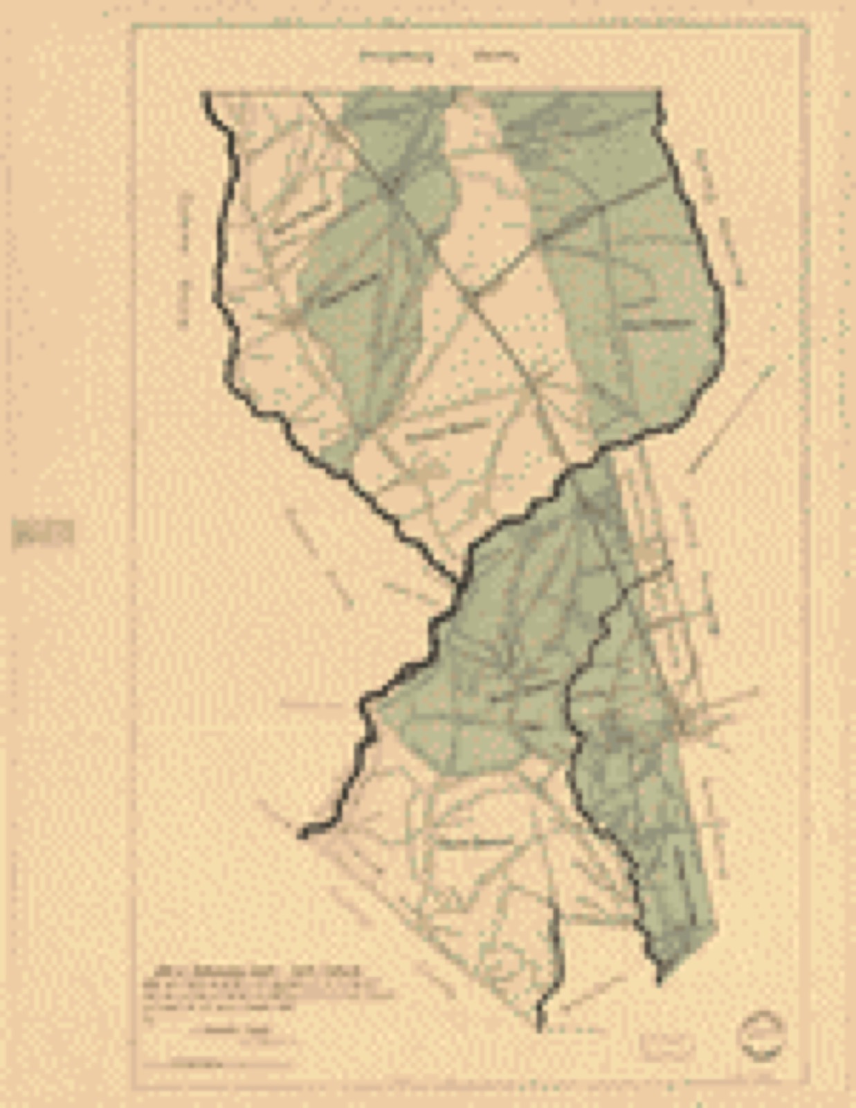
Drawn when these were printed as single large sheets: the town seen from the air, and the county divided into its farms with every owner named. Each opens the original at the Library of Congress.
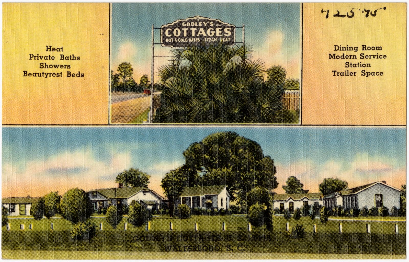
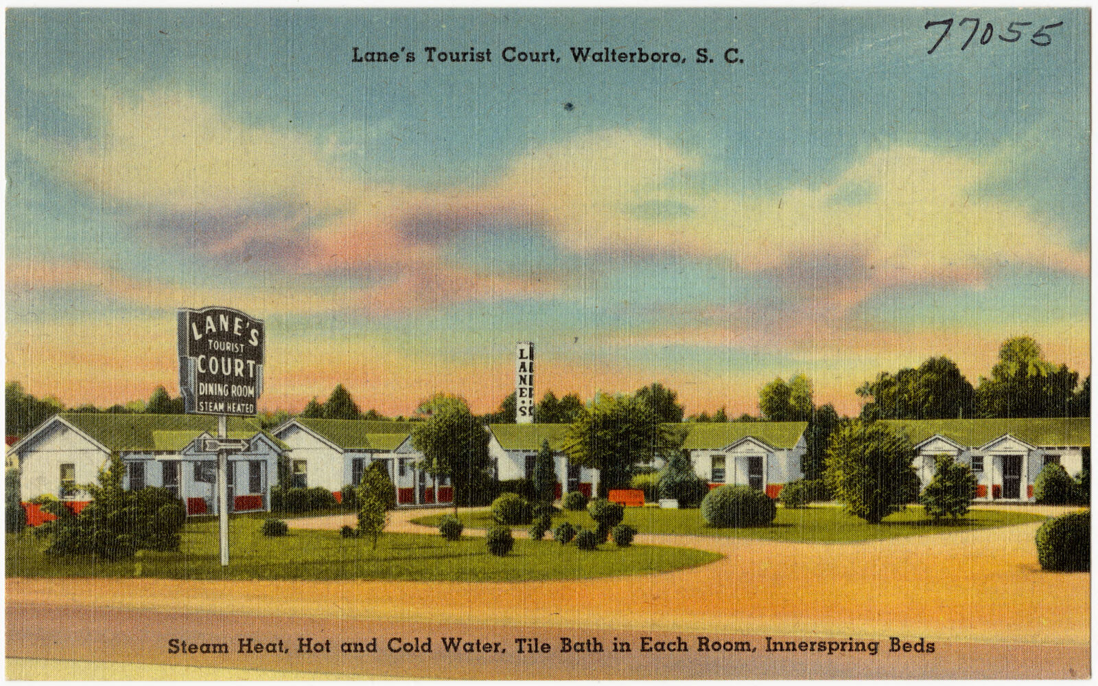
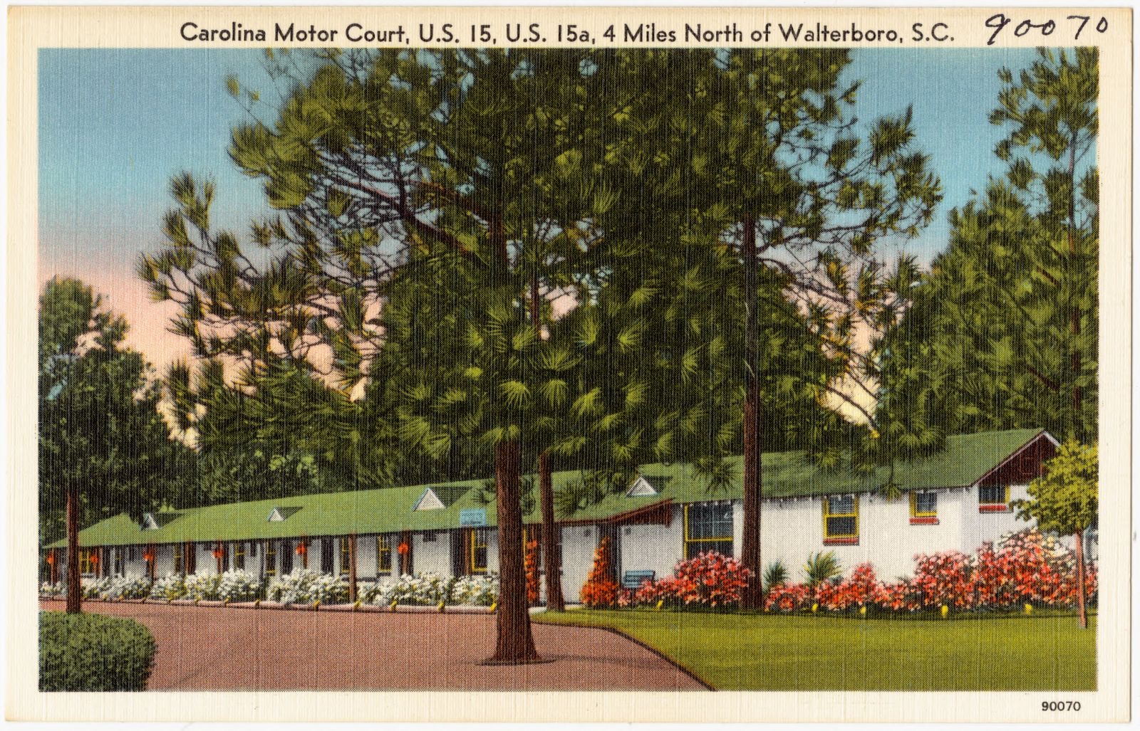
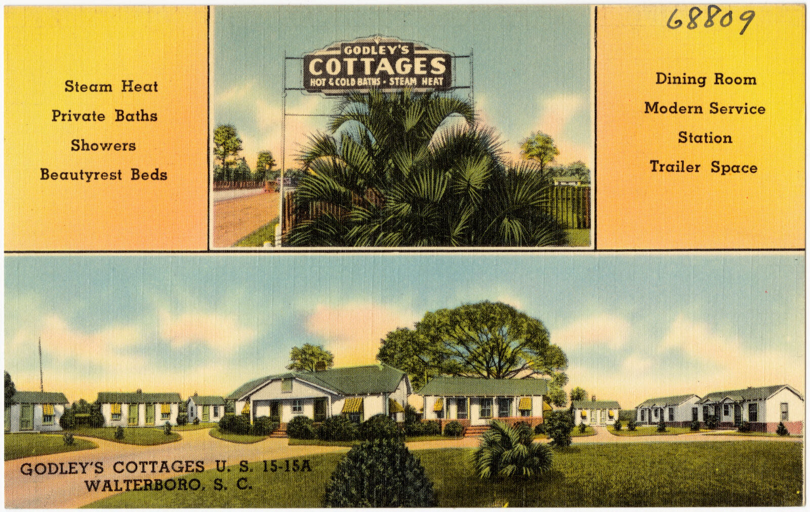
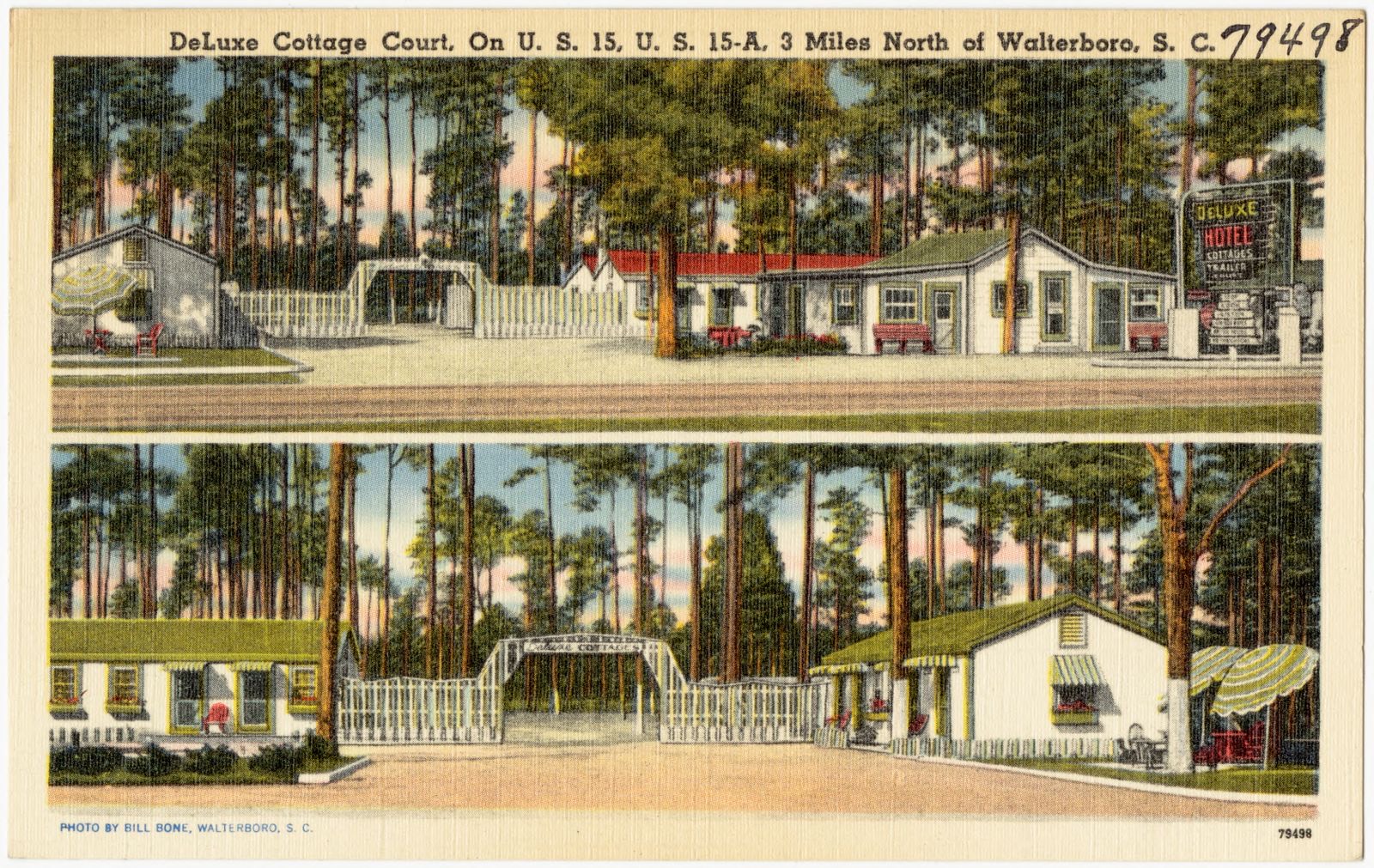
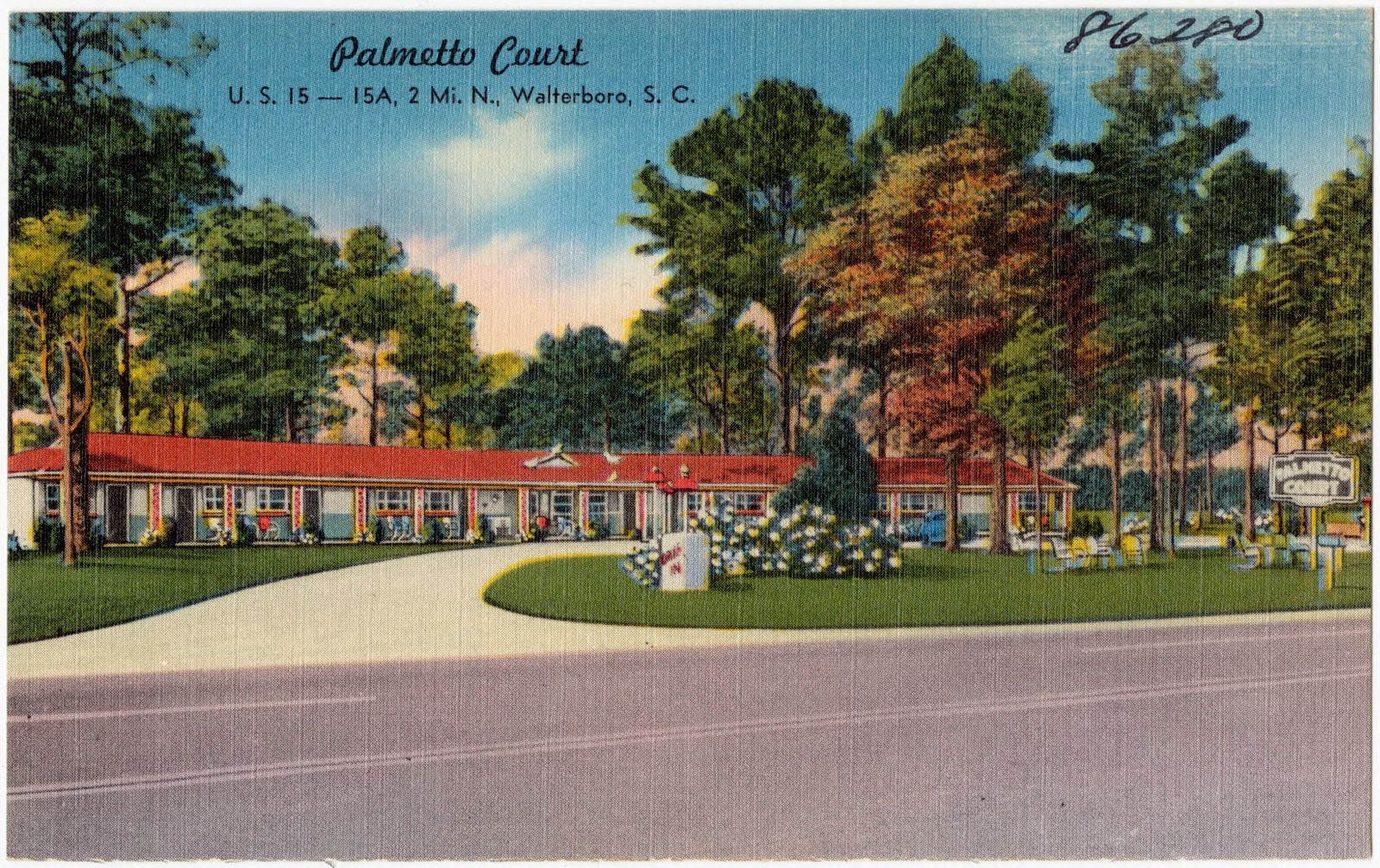
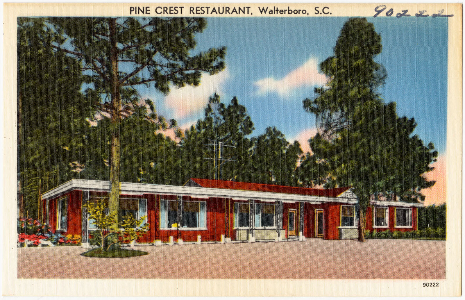
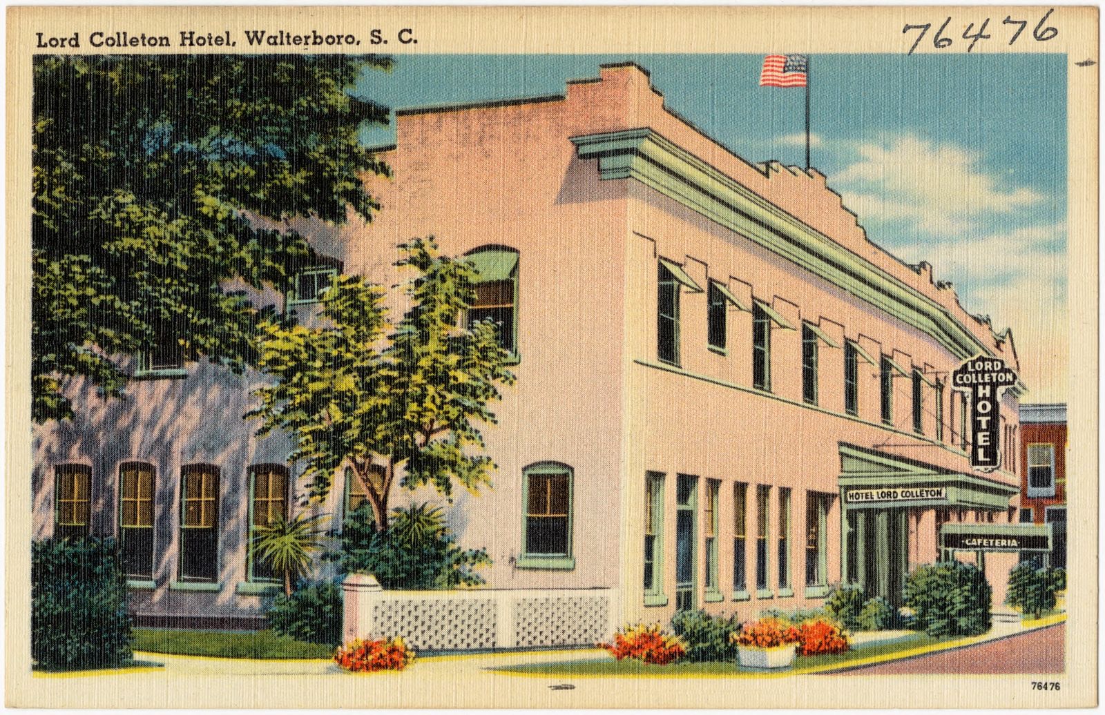
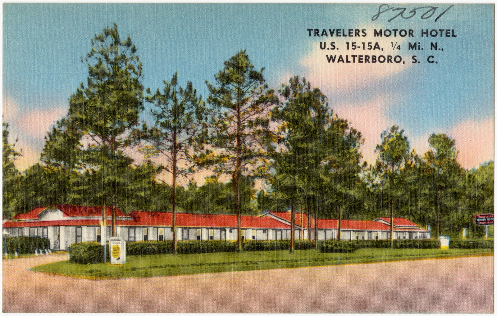
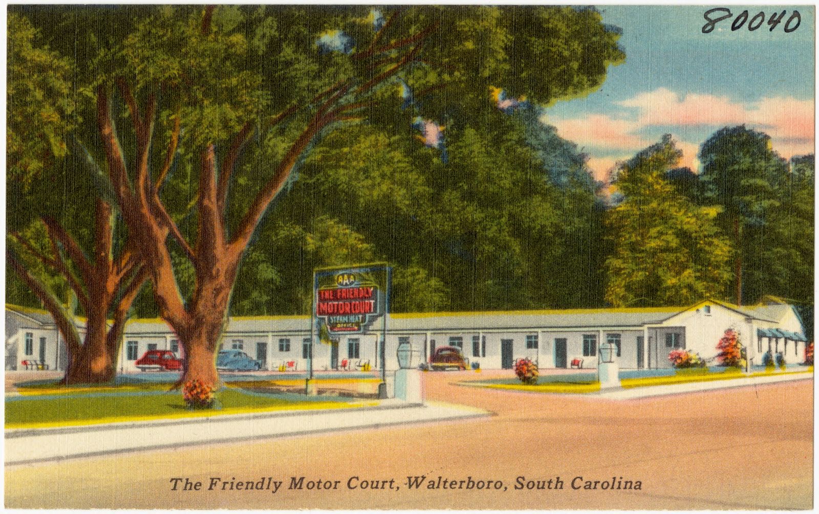
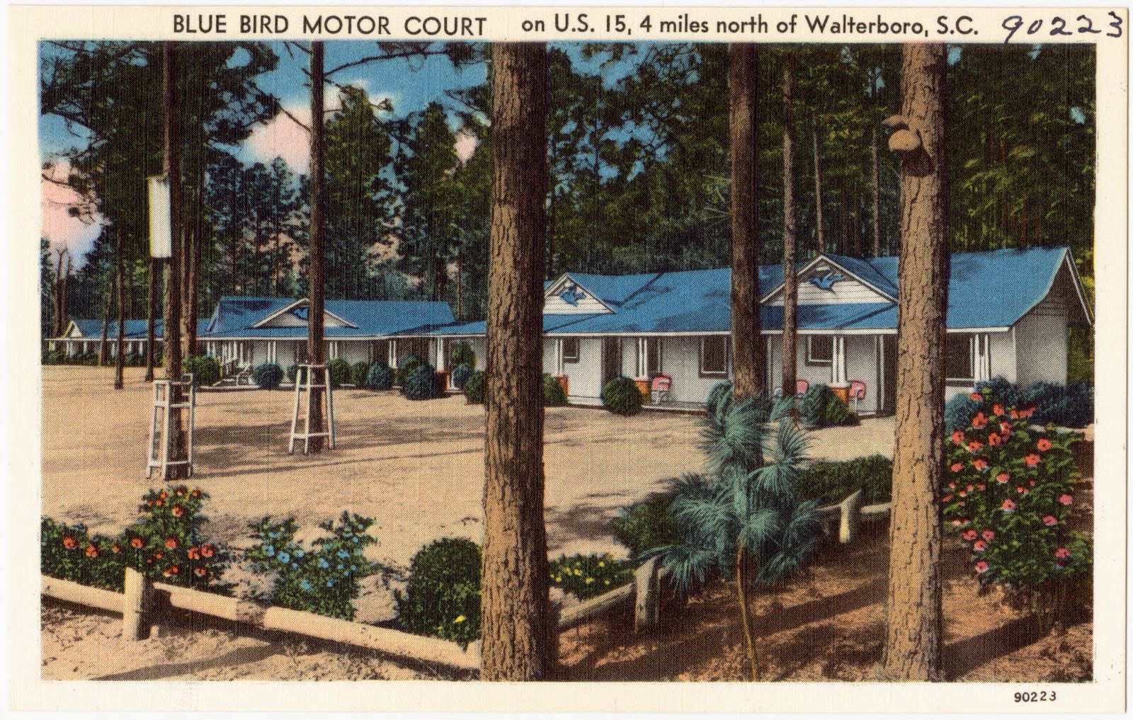
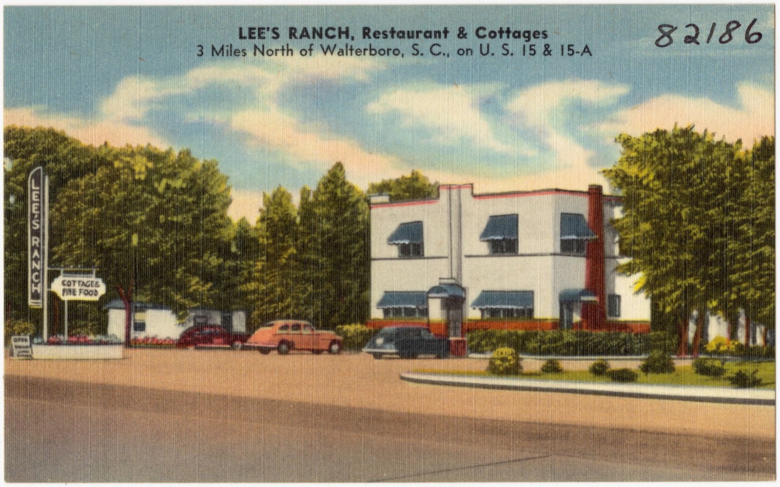
Selected from the Digital Public Library of America's 14 image records catalogued for this county. Every one shown here carries a public-domain status or a licence that permits reuse on a site that carries advertising; non-commercial, share-alike and restricted images are excluded. The selection is spread across the county's towns (at most eight per town), so no single institution's bulk upload crowds out the rest. Each opens the holding library's record, and the complete set at the Digital Public Library of America is one click away.

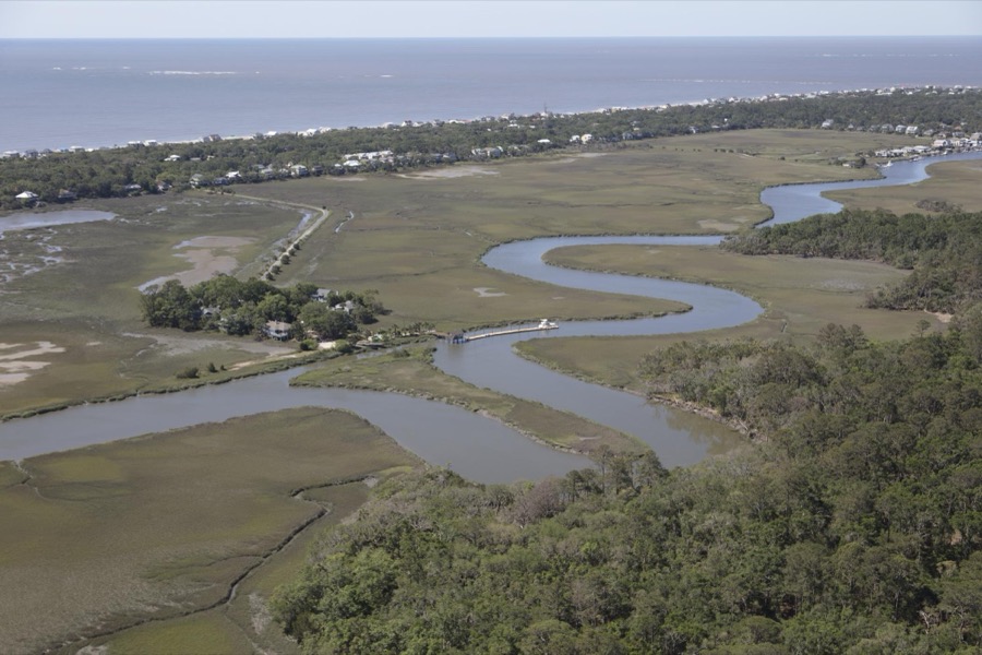
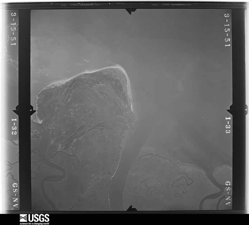
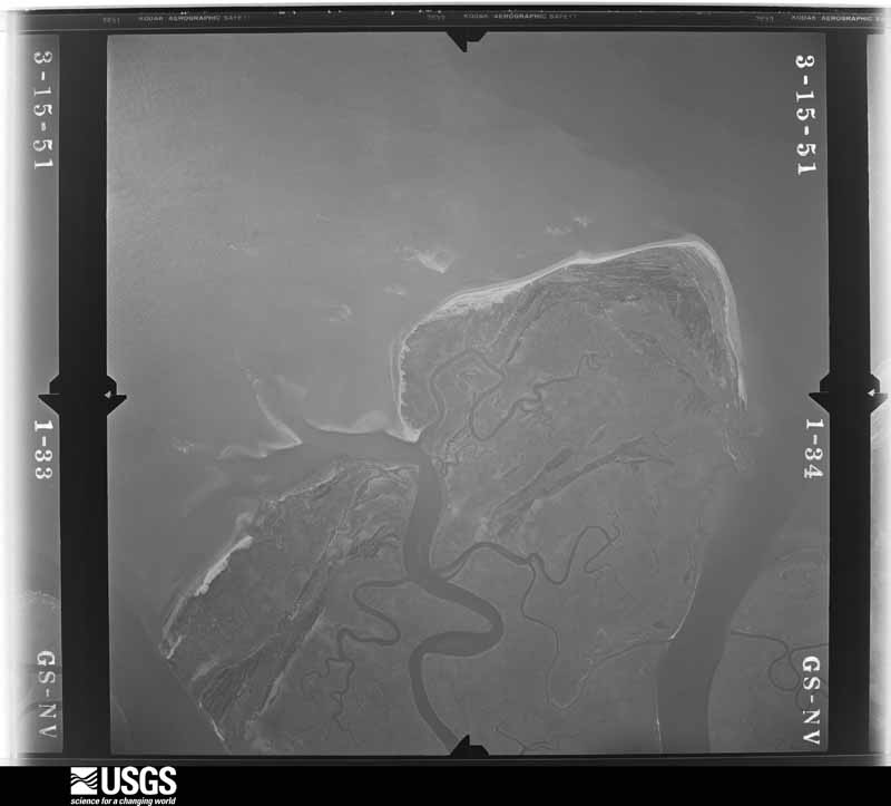
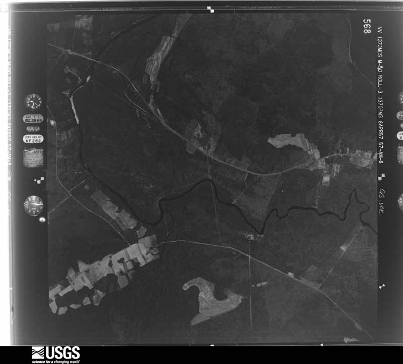
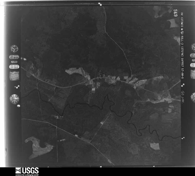
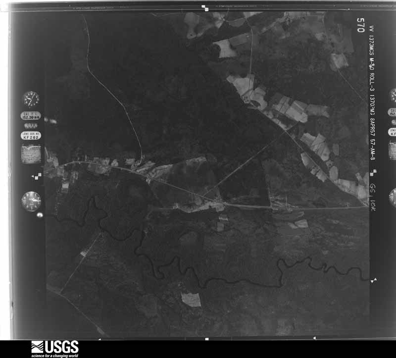
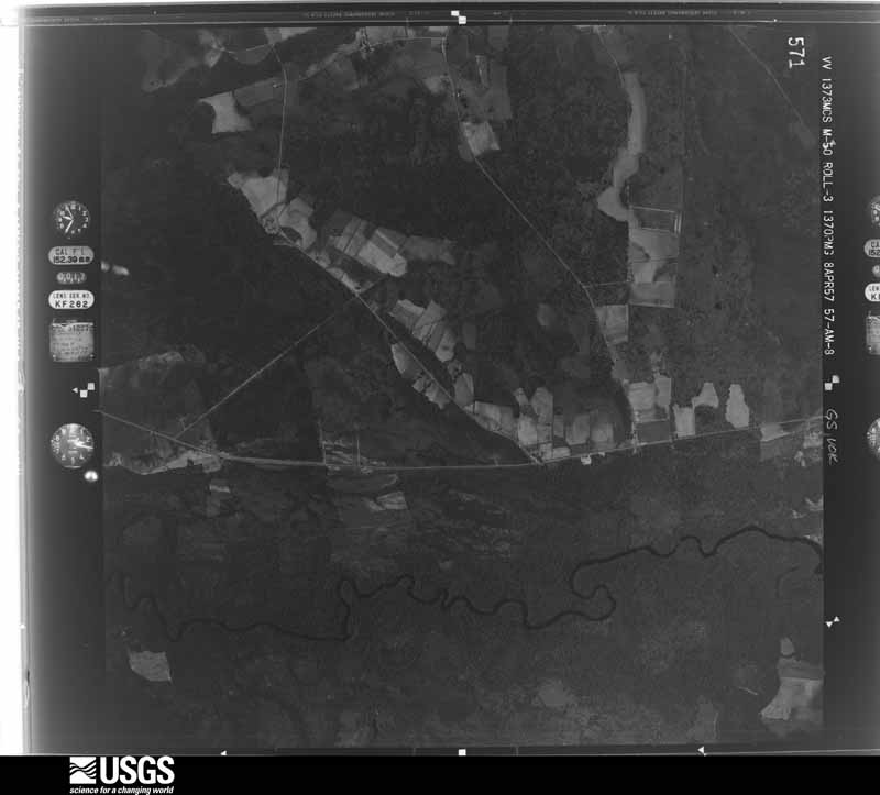
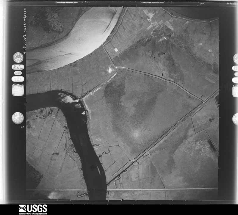
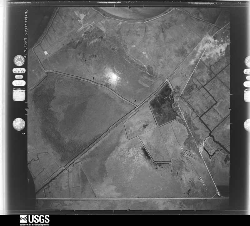
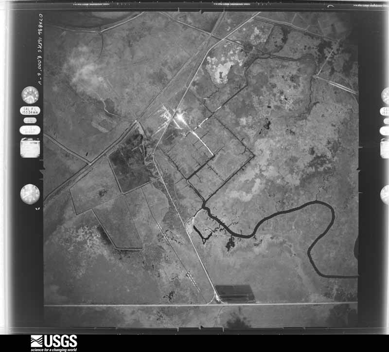
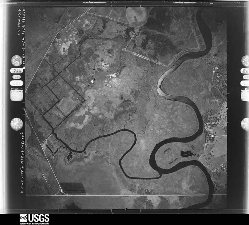
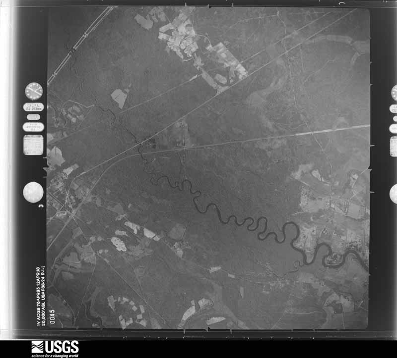
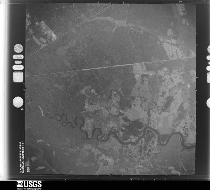
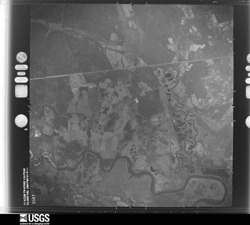
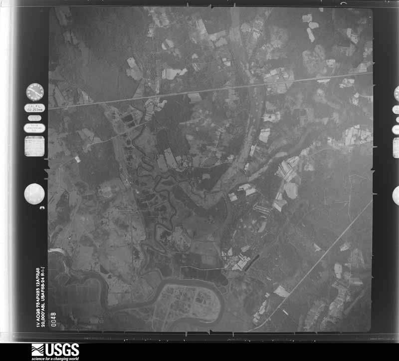
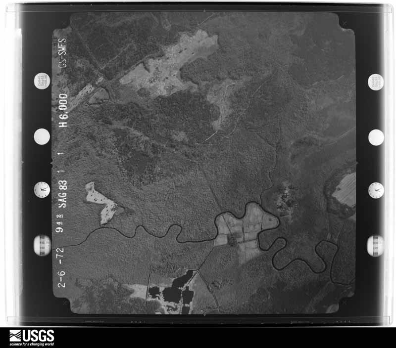
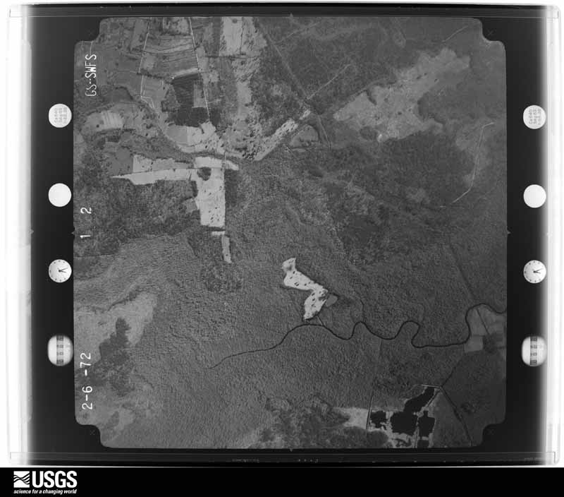
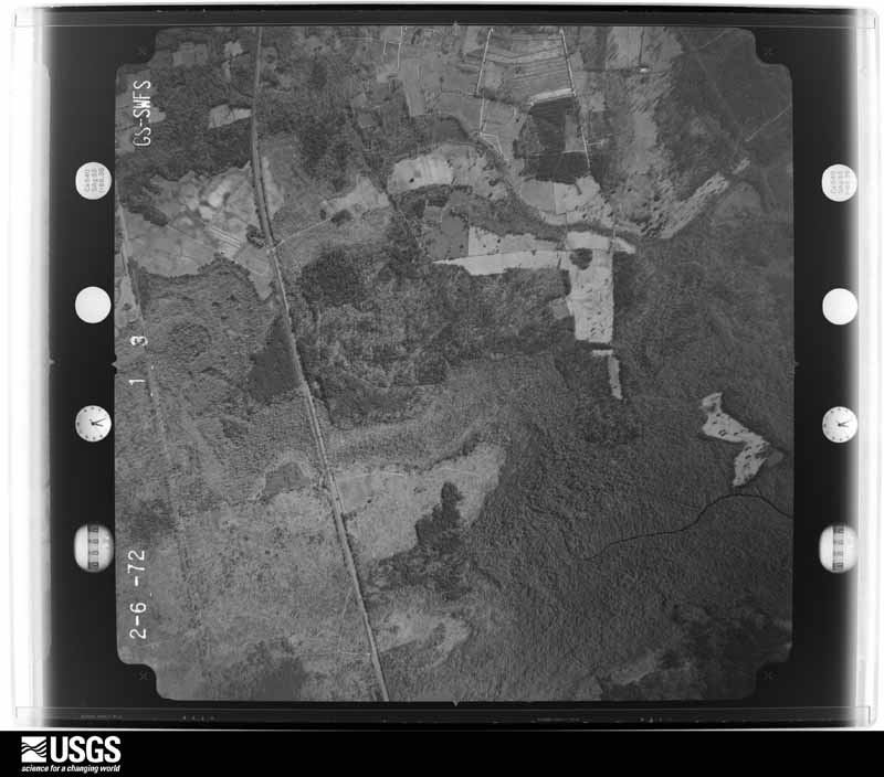
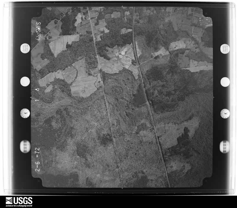
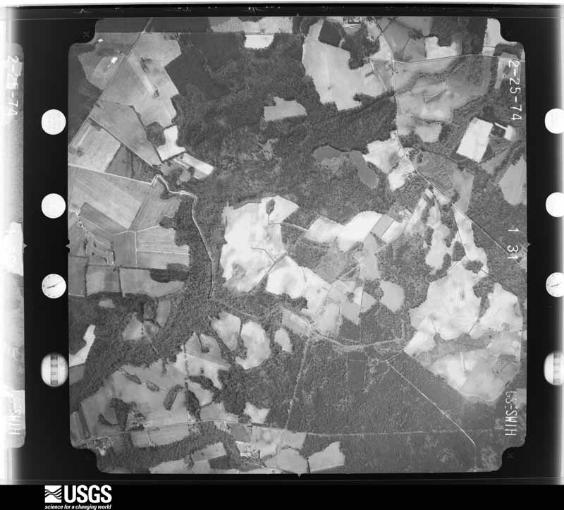
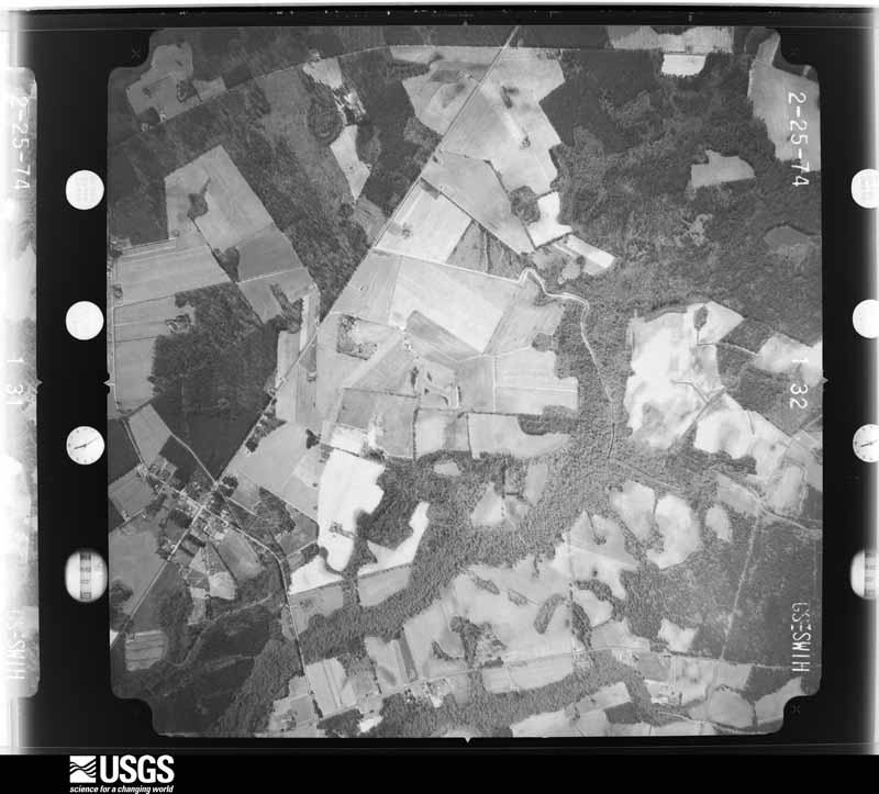
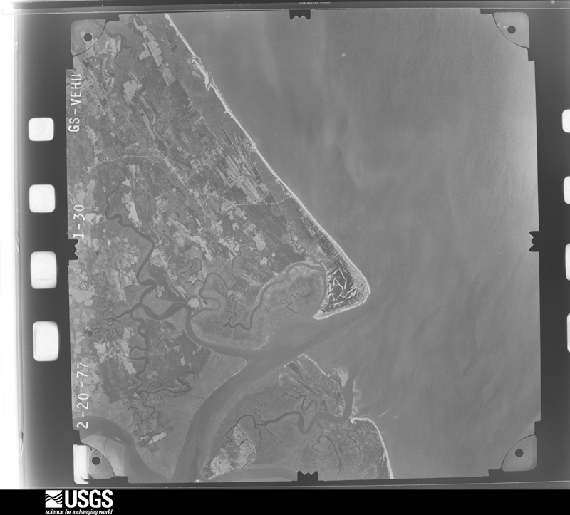
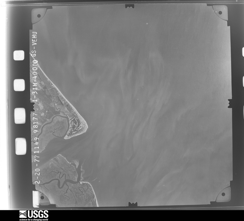
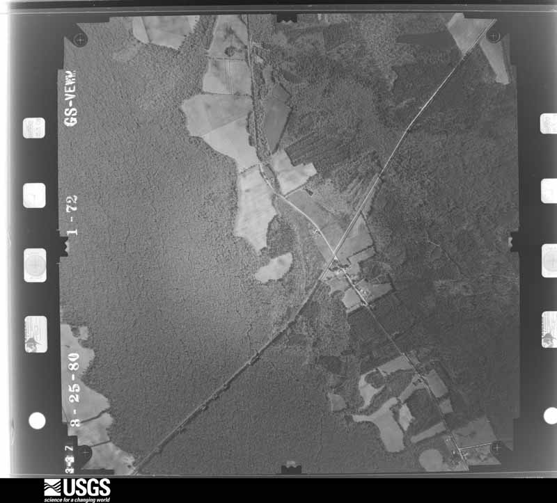
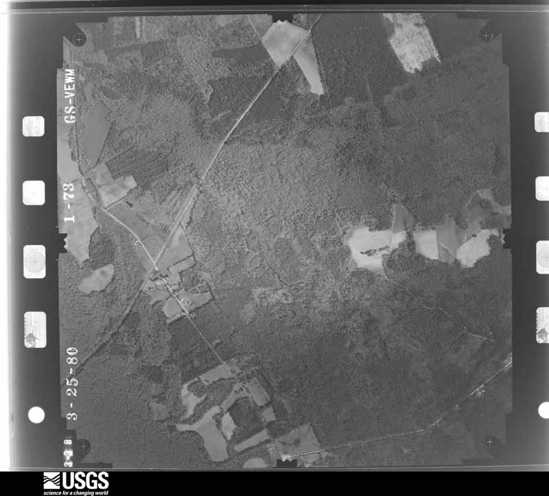
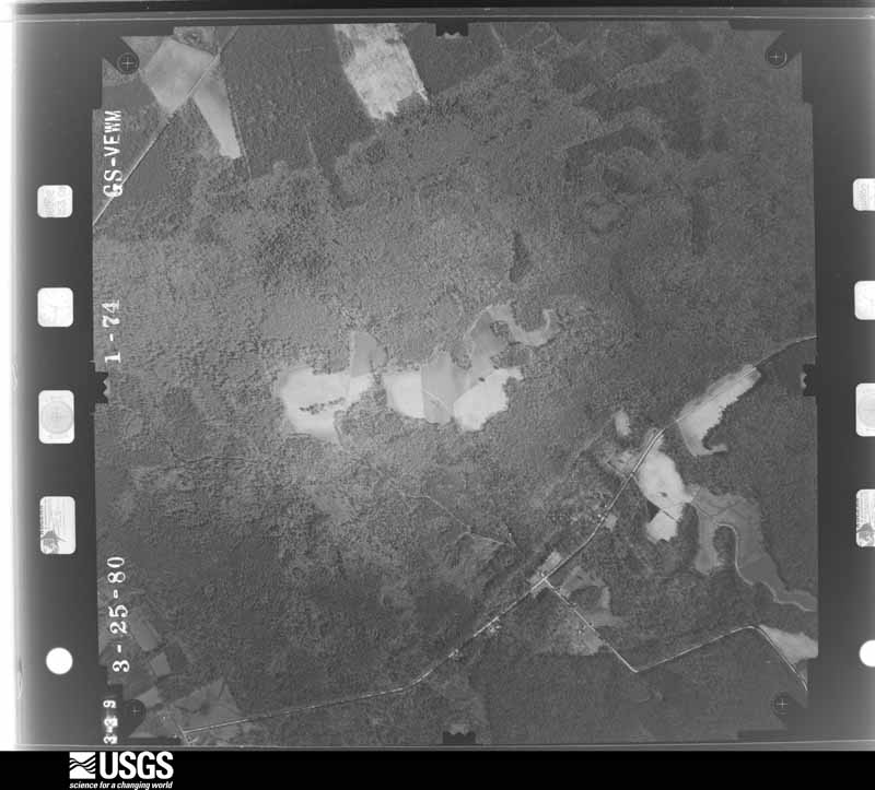
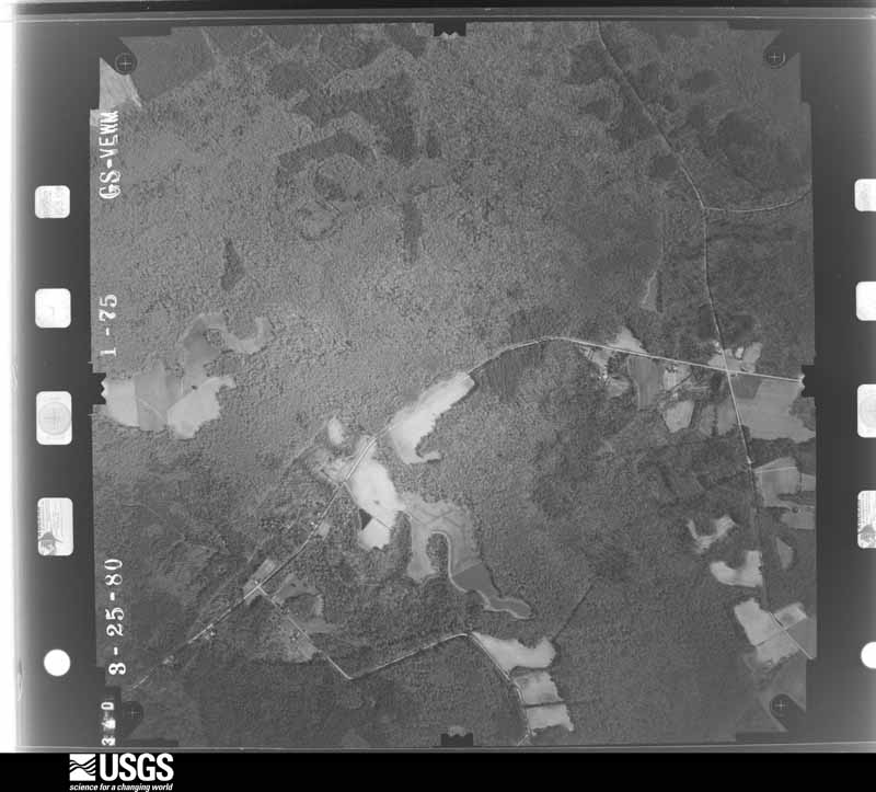
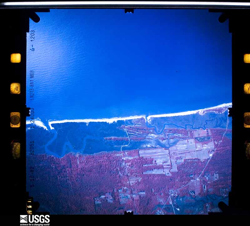
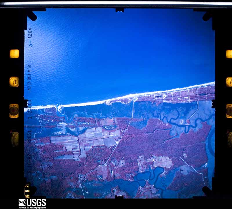
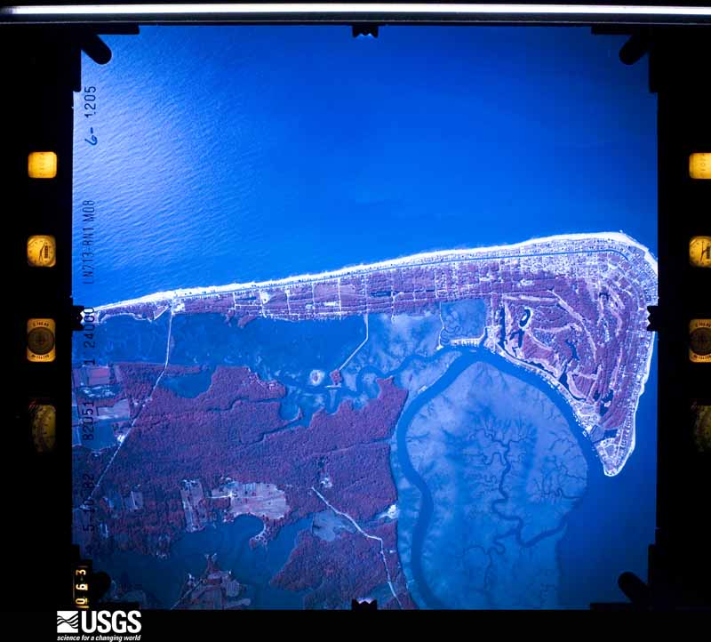
Flown by the U.S. Geological Survey between 1937 and 1989, the Aerial Photo Single Frames collection is the definitive mid-century view of the land: fields, roads and rivers as the camera saw them. The Survey holds 3,716 frames inside the rectangle that bounds this county; the 46 frames below were taken over the county itself, chosen across the decades of flights (at most four a year from that rectangle), so one flight cannot crowd out the rest. The full set is free to browse and download at EarthExplorer under the dataset Aerial Photo Single Frames.

















The thermometers that kept this county's weather, and the gages that measured the flow of its streams, as the federal records hold them. The extremes below are measured values from those records, not estimates.
Who lived here in 1950, one enumeration district at a time, as the Census Bureau described each district. Each row opens its official National Archives result, with Population Schedules and ED Maps available there.
Every wildfire the federal occurrence database records inside this county: 4,032 of them, burning about 27,801 acres. 53 started naturally and 750 were recorded as arson. Each settlement page carries the fires within five miles of it.
| Reported cause | Fires |
|---|---|
| Debris and open burning | 1590 |
| Missing data/not specified/undetermined | 1346 |
| Arson/incendiarism | 750 |
| Equipment and vehicle use | 159 |
| Misuse of fire by a minor | 61 |
| Natural | 53 |
| Power generation/transmission/distribution | 30 |
| Smoking | 22 |
| Other causes | 9 |
| Railroad operations and maintenance | 5 |
| Recreation and ceremony | 4 |
| Fireworks | 3 |
The five largest, by the area the report gives. Two of them were set deliberately.
| Date | Cause | Size | Reported by | Name on the report |
|---|---|---|---|---|
| 17 March 2006 | Debris and open burning | 709 acres | South Carolina Forestry Commission | FOSTERS BAY |
| 29 February 1992 | Missing data/not specified/undetermined | 275 acres | South Carolina Forestry Commission | not named |
| 5 April 2004 | Arson/incendiarism | 250 acres | South Carolina Forestry Commission | not named |
| 27 September 1996 | Missing data/not specified/undetermined | 236 acres | Ace Basin National Wildlife Refuge | CBFLDS96-1 |
| 8 April 1999 | Natural | 192 acres | South Carolina Forestry Commission | not named |
| 3 March 1992 | Missing data/not specified/undetermined | 160 acres | South Carolina Forestry Commission | not named |
| 16 February 2006 | Arson/incendiarism | 160 acres | South Carolina Forestry Commission | 6FF0520 |
| 17 November 1995 | Debris and open burning | 158 acres | Ace Basin National Wildlife Refuge | LANE WMUG9 |
Every settlement page carries the fires within five miles of it - see the settlement index below.
The NOAA Storm Events Database holds 1,163 reports for this county, causing 1 death, 14 injuries and about $4,257,410 in recorded property damage. Each settlement page carries the reports that name it.
| Kind of event | Reports |
|---|---|
| Thunderstorm Wind | 934 |
| Hail | 125 |
| Tornado | 34 |
| Flash Flood | 33 |
| Flood | 19 |
| Lightning | 11 |
| Funnel Cloud | 4 |
| Heavy Rain | 3 |
The most serious of them, by death, then injury, then recorded damage. The accounts are quoted exactly as the forecast office filed them.
| When | Event | Place named | Harm | What the report says |
|---|---|---|---|---|
| April 2020 | Thunderstorm Wind | Walterboro Muni Arpt | 1 killed, 1 hurt | The Colleton County Fire Rescue Emergency Management Division reported a tree down on a residence in the 700 block of Barracada Road due to strong inflow winds near a passing tornado. Three people were trapped inside, which included one injured person and one adult female fatality. |
| April 2007 | Tornado (EF1) | Ruffin | 9 hurt, $200,000 | This Tornado overturned 3 mobile homes and shifted another 7 mobile homes off there foundations. It tore the skirting away from another mobile home, destroyed a storage shed, and snapped off or uprooted dozens of trees. A couple of trees fell on a house. A vehicle and an outbuilding were also damaged. There were 9 minor injuries. Winds with this Tornado were estimated to be 100 mph using the Enhanced Fujita Scale. |
| November 1961 | Tornado (F1) | not stated | 1 hurt, $2,500 | no account filed |
| May 1958 | Tornado (F1) | not stated | 1 hurt, $2,500 | no account filed |
| September 2022 | Lightning | Jonesville | 1 hurt | Colleton County Emergency Management reported that a person was struck by lightning on Cherokee Plantation at 5109 Combahee Road. The person was transported to the Medical University of South Carolina hospital in downtown Charleston. |
| August 2018 | Thunderstorm Wind | Cottageville | 1 hurt | The Colleton County Fire and Rescue reported a tree down on a house near the 10400 block of Cottageville Highway. One person sustained minor injuries as the tree went through the house. |
| October 2015 | Flash Flood | Sniders Xrds | $507,720 | An emergency manager reported a few roads near Walterboro closed due to flooding. Roads closed due to flooding included Cane Branch Road and Ruffin Road at a railroad crossing. Dodge Lane was also washed out due to flooding. |
| October 2015 | Flash Flood | Bennetts Pt | $507,720 | An emergency manager reported Bennetts Point Road at the 2600, 4300, 4500 and 12200 block closed due to flooding. |
| October 2015 | Flash Flood | Ritter | $507,720 | An emergency manager and law enforcement reported a few roads closed due to flooding. Ritter Road was closed at the intersection with Cooks Hill Road and Ford Lane was washed out due to flooding. |
| October 2015 | Flash Flood | Walterboro | $507,720 | Law enforcement reported Ivanhoe Road closed between Forest Hill Road and West Washington Street due to flooding. |
| May 2006 | Thunderstorm Wind | Walterboro | $500,000 | Widespread wind damage across the Walterboro area from Supercell thunderstorm. Wind estimates of 60 to 70 mph throughout town with numerous reports of trees down some of which fell on homes. Numerous power lines and power poles down as well. |
| February 2012 | Tornado (EF1) | Islandton | $125,000 | A National Weather Service damage survey team confirmed that an EF-1 tornado touched down near Islandton, South Carolina. The tornado initially touched down along Jamison Road and traveled east/northeast before lifting along Highway 63. The worst damage occurred along Forks Road and Jamison Road where the tornado damaged or destroyed several structures. At least 3 mobile homes sustained roof damage and at least 30-35 trees were either completely uprooted or snapped. The tornado also snapped several power poles. The most significant damage occurred around 591 Jamison Road. |
| July 2021 | Flash Flood | Stokes | $100,000 | Colleton County Emergency Management reported damage to three different roads in the county. The most significant flash flooding occurred near 2363 Hendersonville Highway (Highway 17-A) where a large portion of the roadway collapsed and washed out. The wash out occurred near a retention pond that possibly overflowed its banks and overwhelmed the drainage pipe under the roadway. A vehicle traveling northbound on Hendersonville Highway fell into the washout but the two travelers inside were uninjured. The second roadway washout occurred nearby on Great Swamp Road near Dover Bluff Lane. A third instance of damage due to flash flooding occurred northeast of Walterboro on Industrial Lane where it crosses Ireland Creek between Highway 15 and Thunderbolt Drive. A partial washout occurred surrounding the Industrial Lane bridge across Ireland Creek and the road was determined not to be safe for travel. Minor roadway flooding also occurred in Walterboro including Ivanhoe Road and Robertson Boulevard. |
| April 2007 | Tornado (EF1) | Islandton | $100,000 | This Tornado snapped off or uprooted hundreds of trees...destroyed a large framed barn with debris spread over a half mile to the northeast. A large object hit a house breaking out three windows and knocking some of the bricks loose. Siding was also torn from the house. A large 8000 pound horse trailer was lifted up and carried 500 feet. An 800 pound grain wagon was lifted and carried 400 feet before landing on the ground. A bass boat was flipped over and a 4 wheeler was damaged along with other farm equipment. A tree also fell on a mobile home. Winds with this Tornado were estimated to be 110 mph using the new Enhanced Fujita Scale. |
| August 2018 | Lightning | Bells Xrds | $68,000 | The media relayed a report of a double-wide mobile home catching fire and burning to the ground due to lightning striking the roof. The fire resulted in the death of two dogs and one cat. |
| April 2017 | Lightning | Hendersonville | $40,000 | Lightning struck a large oak tree which resulted in a fire that destroyed a 30x50 foot work shop, tools and moderate size utility tractor. |
| July 2012 | Thunderstorm Wind | Walterboro | $30,000 | Emergency Manager relayed reports of 33 trees and 17 power lines down in and around Walterboro. |
| July 2025 | Lightning | Cottageville | $25,000 | Colleton County Fire and Rescue reported that a Cottageville home was damaged by a lightning strike at 234 Farmer Street. The lightning strike started a fire which damaged electrical wiring in the attic and burned across several rafters. One occupant was treated for smoke inhalation but did not need to be transported to the hospital. |
| August 2024 | Flash Flood | Sniders Xrds | $25,000 | Colleton County Emergency Management reported that the drainage pipe under the roadway in the 1300 Block of Forks Road has washed out due to heavy rainfall from Debby. The exact date and time is estimated. |
| August 2023 | Flash Flood | Moselle | $25,000 | Colleton County Emergency Management provided pictures of roadway damage on Cayce Road not far from the intersection with Broxton Bridge Highway due to heavy rainfall associated with Tropical Storm Idalia. The culvert pipe failed and more than half of that portion of the roadway collapsed. |
| August 2023 | Flood | Canadys | $25,000 | A Colleton County emergency manager reported a portion of Chisolm Road washed out where the paved section of the road meets the dirt portion. The roadway is expected to undergo repairs. |
| April 2006 | Thunderstorm Wind | Cottageville | $25,000 | Numerous trees snapped and 2 billboards damaged along highway 17A between Cottageville and the Edisto River. |
| April 1985 | Tornado (F1) | not stated | $25,000 | no account filed |
| May 1976 | Tornado (F1) | not stated | $25,000 | no account filed |
| October 1965 | Tornado (F1) | not stated | $25,000 | no account filed |
| August 2024 | Flash Flood | Sniders Xrds | $20,000 | Law enforcement reported a road washed out near the intersection of Cane Branch Road and Edward Road. |
| August 2024 | Flood | Ritter | $20,000 | A Colleton County emergency manager reported Cyrus Lane off Green Pond Road washed out due to the heavy rain and ditches backing up with water. |
| August 2024 | Flood | Sniders Xrds | $20,000 | A social media post showed the roadbed below Edward Road was completely washed out. |
| August 2024 | Flash Flood | Wiggins | $20,000 | Colleton County Emergency Management reported a road washout at 5000 Wiggins Road. |
| August 2024 | Flood | Ritter | $20,000 | A Colleton County emergency manager reported multiple washouts along the dirt road portion of See See Road. |
| July 2013 | Flash Flood | Bells Xrds | $20,000 | Colleton County Warning Point reported a roadway collapse on Carters Ford Road due to flash flooding. |
| March 2025 | Thunderstorm Wind | Canadys | $15,000 | Colleton County Emergency Management reported a tree down on a residence at 147 Wayside Lane. |
| July 2022 | Lightning | Edisto Beach | $15,000 | Colleton County dispatch reported a lightning strike to a residential building on the 1200 block of Hammocks Way. The strike caused a fire and damage to the structure. |
| July 2025 | Thunderstorm Wind | Green Pond | $10,000 | Colleton County Emergency Management reported one tree down on Wood Road blocking both lanes. The tree also brought down power lines. |
| August 2024 | Flood | Stokes | $10,000 | A Colleton County emergency manager reported a sink hole and roadway damage due to flooding along the 1500 Block of Stokes Road. |
| August 2024 | Flash Flood | Hendersonville | $10,000 | Law enforcement reported a portion of roadway damaged in the 2500 Block of Black Creek Road. |
| August 2024 | Flash Flood | Hendersonville | $10,000 | Law enforcement reported a portion of roadway damaged near the intersection of Black Creek Road and Edward Road. |
| August 2024 | Flash Flood | Airy Hall | $10,000 | Law enforcement reported a portion of roadway damaged in the 8300 Block of Bennetts Point Road. |
| August 2024 | Flash Flood | Sniders Xrds | $10,000 | Law enforcement reported a portion of roadway damaged in the 600 Block of Cedar Creek Road. |
| August 2024 | Flash Flood | Cottageville | $10,000 | Law enforcement reported a portion of roadway damaged in the 100 Block of Good Hope Landing Lane. |
| August 2024 | Flash Flood | Green Pond | $10,000 | Law enforcement reported a portion of roadway washed out in the 600 Block of Wiggins Road. |
| August 2024 | Flash Flood | Smoaks | $10,000 | Law enforcement reported a portion of roadway washed out near the intersection of Mill Pond Road and Low Country Highway. |
| August 2024 | Flash Flood | Sniders Xrds | $10,000 | Law enforcement reported a portion of roadway washed out in the 400 Block of Paradise Road. |
| August 2024 | Flash Flood | Hendersonville | $10,000 | Law enforcement reported a portion of roadway damaged in the 2400 Block of Mewville Road. |
| June 2009 | Thunderstorm Wind | Edisto Beach | $10,000 | Law Enforcement reported street signs down, a destroyed fence, and windows blown out of vehicles near the pavilion on Palmetto Boulevard in Edisto Beach, South Carolina. |
| July 2009 | Lightning | Walterboro | $10,000 | Law Enforcement reported that lightning started a structure fire on Lakewood Drive near Walterboro, South Carolina. |
| March 2008 | Thunderstorm Wind | Islandton | $10,000 | A public report was received that an old barn collapsed due to strong winds. |
| April 2007 | Tornado (EF1) | Islandton | $10,000 | This Tornado carried two empty grain silos about 100 feet, snapped off or uprooted dozens of trees, destroyed a large portion of an outbuilding, and severely injured a dog. Maximum sustained winds with this Tornado were estimated to be 95 mph. |
| June 2006 | Thunderstorm Wind | Cottageville | $10,000 | Numerous trees and large limbs down in town. |
| April 1999 | Tornado (F1) | Ritter | $10,000 | Roof damage occurred to a house and several outdoor buildings, along withn several trees uprooted or snapped off 15 to 20 feet above the ground. |
| July 1995 | Thunderstorm Wind | Walterboro | $10,000 | Trees and powerlines down. |
| July 1995 | Thunderstorm Wind | Walterboro | $10,000 | no account filed |
| May 2008 | Thunderstorm Wind | Ruffin | $8,000 | Several trees were reported down and a shed was destroyed on the 13000 block of Mount Carmel Road near Highway 21 in Ruffin, South Carolina. |
| May 2008 | Thunderstorm Wind | Ritter | $8,000 | A trained weather spotter reported numerous downed 4 inch tree limbs and a bent over 30 foot tall radio tower 5 miles south of Walterboro, South Carolina. |
| June 1995 | Thunderstorm Wind | Cottageville | $8,000 | Trees and power lines down along U.S. Highway 17A. |
| June 1995 | Thunderstorm Wind | Walterboro | $8,000 | Trees and limbs down. Damage done to an irrigation plant and two other businesses. |
| August 2012 | Thunderstorm Wind | Walterboro | $6,000 | Multiple trees and power lines down near the intersection of Robertson Boulevard and Bells Highway. |
| April 2006 | Thunderstorm Wind | Ashepoo | $6,000 | Trees and power lines down along the 1200 block of Bennetts Point Road. |
| April 2006 | Thunderstorm Wind | Ashepoo | $6,000 | Trees and power lines down along Charleston Highway and Bonnie Doone. |
| August 2023 | Flood | Hendersonville | $5,000 | A Colleton County emergency manager reported a portion of unpaved See See Road washed out near the Ashepoo River due to heavy rainfall associated with Tropical Storm Idalia. |
The Survey's mineral resources record lists 26 workings inside this county. 9 still produce and 17 are closed or unrecorded. Each settlement page carries the workings within five miles of it.
| Commodity | Workings |
|---|---|
| Sand and Gravel, Construction | 19 |
| Peat | 3 |
| Sand | 3 |
| Sand and Gravel, Construction, Clay | 1 |
| Clay | 1 |
The least common of them first, because a county's hundredth gravel pit says nothing its first ten did not.
| Where | Site | Commodity | Status | Recorded |
|---|---|---|---|---|
| Consolidated Pit | Sand and Gravel, Construction, Clay | Unknown | Sedimentary | |
| Consolidated Pit | Sand and Gravel, Construction, Clay | Past Producer | ||
| Airy Hall Peat Mine | Peat | Producer | Sedimentary | |
| Green Pond Mine | Peat | Unknown | Sedimentary | |
| Jeter Sand Pit #3 | Sand | Unknown | Sedimentary | |
| Pinkney Mine | Sand | Unknown | Sedimentary | |
| Sandy Run Mine | Sand | Unknown | Sedimentary | |
| T.T. Mine (Ti Ti Mine) | Peat | Producer | Sedimentary | |
| East Cooper Mine | Sand and Gravel, Construction | Producer | ||
| Edista No. 2 Dredge | Sand and Gravel, Construction | Producer | ||
| Edisto Mine | Sand and Gravel, Construction | Past Producer | ||
| Edisto Plant | Sand and Gravel, Construction | Past Producer | Sedimentary | |
| Givhans Pit | Sand and Gravel, Construction | Producer | Sedimentary | |
| Givhans Pit | Sand and Gravel, Construction | Past Producer | ||
| Givhans Pit #1 | Sand and Gravel, Construction | Past Producer | Sedimentary | |
| Givhans Pit #2 | Sand and Gravel, Construction | Past Producer | Sedimentary | |
| Givhans Pit #3 | Sand and Gravel, Construction | Past Producer | Sedimentary | |
| Givhans Plant | Sand and Gravel, Construction | Past Producer | Sedimentary | |
| Mine 1 | Sand and Gravel, Construction | Producer | ||
| Nettles Mine | Sand and Gravel, Construction | Unknown | Sedimentary | |
| Nettles Mine | Sand and Gravel, Construction | Producer | ||
| Pit No. 2 | Sand and Gravel, Construction | Producer | ||
| Sanders Brothers Pit | Sand and Gravel, Construction | Unknown | Sedimentary | |
| Walker Pit | Sand and Gravel, Construction | Unknown | Sedimentary | |
| Walker Waterboro Pit | Sand and Gravel, Construction | Past Producer | ||
| Walkerboro Pit | Sand and Gravel, Construction | Producer |
Named settlements recorded in the Geographic Names Information System, each with the topographic sheets covering it. Villages, hamlets and abandoned places alike. Each is shown with the nearest named watercourse or landform and the survey quadrangle it falls on. The 1 place that was also surveyed for fire insurance comes first, with the number of atlases and photographs held for them.
Walterboro census division · 29488 · On Ireland Creek · Walterboro quadrangle
17 sheets, 1918 to 1990
Fire insurance: 6 atlases
Green Pond census division · 29452 · On Horseshoe Creek · Green Pond quadrangle
18 sheets, 1918 to 1990
Green Pond census division · 29446 · On Johno Creek · Neyles quadrangle
17 sheets, 1918 to 1990
Walterboro census division · 29475 · On Buckhead Creek · Sniders Crossroads quadrangle
16 sheets, 1919 to 1990
Green Pond census division · 29446 · On Musselboro Creek · Bennetts Point quadrangle
18 sheets, 1919 to 1990
Hendersonville census division · 29945 · Hendersonville quadrangle
17 sheets, 1918 to 1990
Cottageville census division · 29474 · Jacksonboro quadrangle
16 sheets, 1918 to 1990
Walterboro census division · 29488 · On Redbank Drain · Canadys quadrangle
18 sheets, 1920 to 1990
Hendersonville census division · 29488 · Hendersonville quadrangle
17 sheets, 1918 to 1990
Cottageville census division · 29435 · On Reevestown Branch · Cottageville quadrangle
17 sheets, 1918 to 1990
Cottageville census division · 29474 · On Fuller Swamp Creek · Round O quadrangle
17 sheets, 1918 to 1990
Green Pond census division · 29438 · On South Edisto River · Edisto Beach quadrangle
16 sheets, 1920 to 1978
Green Pond census division · 29452 · Near Pine Island · Fenwick quadrangle
17 sheets, 1919 to 1990
Cottageville census division · 29474 · On Reevestown Branch · Cottageville quadrangle
17 sheets, 1918 to 1990
Cottageville census division · 29472 · On Sandy Run · Cottageville quadrangle
17 sheets, 1918 to 1990
Hendersonville census division · 29945 · Hendersonville quadrangle
17 sheets, 1918 to 1990
Cottageville census division · 29435 · Maple Cane Swamp quadrangle
16 sheets, 1919 to 1990
Hendersonville census division · 29475 · On Oldfield Creek · Sniders Crossroads quadrangle
16 sheets, 1919 to 1990
Cottageville census division · 29474 · Jacksonboro quadrangle
16 sheets, 1918 to 1990
Cottageville census division · 29472 · Cottageville quadrangle
17 sheets, 1918 to 1990
Cottageville census division · 29472 · Jacksonboro quadrangle
16 sheets, 1918 to 1990
Cottageville census division · 29435 · Maple Cane Swamp quadrangle
16 sheets, 1919 to 1990
Cottageville census division · 29435 · Cottageville quadrangle
17 sheets, 1918 to 1990
No longer a settlement
Walterboro census division · 29488 · On Pringle Creek · Neyles quadrangle
17 sheets, 1918 to 1990
Green Pond census division · 29472 · Jacksonboro quadrangle
16 sheets, 1918 to 1990
Walterboro census division · 29475 · Sniders Crossroads quadrangle
16 sheets, 1919 to 1990
No longer a settlement
Green Pond census division · 29474 · Jacksonboro quadrangle
16 sheets, 1918 to 1990
Cottageville census division · 29472 · On Sandy Run · Cottageville quadrangle
17 sheets, 1918 to 1990
Walterboro census division · 29488 · On Pringle Creek · Neyles quadrangle
17 sheets, 1918 to 1990
Walterboro census division · 29488 · Saint George SW quadrangle
18 sheets, 1920 to 1990
No longer a settlement
Cottageville census division · 29435 · Cottageville quadrangle
17 sheets, 1918 to 1990
Walterboro census division · 29488 · On Wolf Creek · Walterboro quadrangle
17 sheets, 1918 to 1990
Walterboro census division · 29475 · On Hog Branch · Williams quadrangle
18 sheets, 1919 to 1990
Green Pond census division · 29446 · Near Fenwick Island · Bennetts Point quadrangle
18 sheets, 1919 to 1990
Smoaks census division · 29481 · On Steedley Branch · Williams quadrangle
18 sheets, 1919 to 1990
Walterboro census division · 29475 · On Bear Branch · Williams quadrangle
18 sheets, 1919 to 1990
Hendersonville census division · 29475 · On Indian Creek · Sniders Crossroads quadrangle
16 sheets, 1919 to 1990
Walterboro census division · 29481 · On Brickhouse Branch · Saint George SW quadrangle
18 sheets, 1920 to 1990
Lodge census division · 29929 · By Toby Bluff · Islandton quadrangle
16 sheets, 1919 to 1990
Lodge census division · 29929 · On Deep Creek · Cummings quadrangle
16 sheets, 1919 to 1990
No longer a settlement
Walterboro census division · 29488 · On Redbank Drain · Saint George SW quadrangle
18 sheets, 1920 to 1990
Hendersonville census division · 29446 · On Folly Creek · White Hall quadrangle
18 sheets, 1918 to 1990
Green Pond census division · 29446 · On Chehaw River · Wiggins quadrangle
18 sheets, 1918 to 1990
The vanished settlements of Colleton County: the places named above that are no longer on the map.
The complete index, with nothing left out. Each of these is a separate record with its own page: a federal survey report, or the case file that argued a property on to the National Register. Both are public domain and reproduced word for word.
The vanished settlements of Colleton County, the places these records name that are no longer on the map.