 Block
Ella, South Carolina
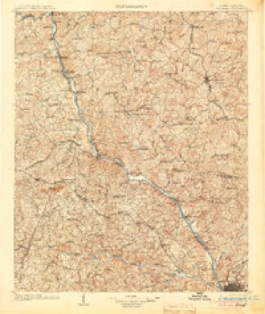
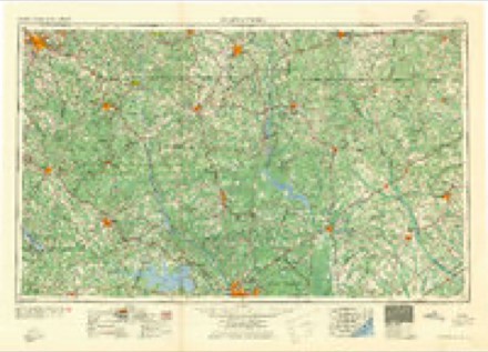
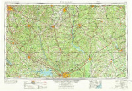
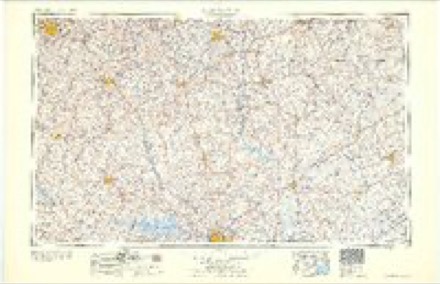
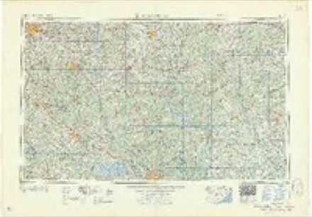
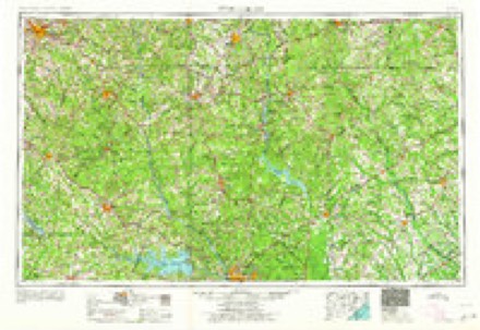
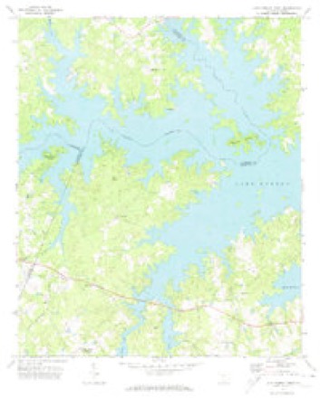
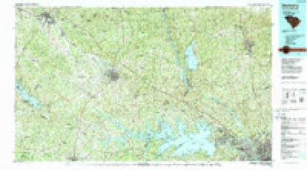
14 topographic sheets cover this place, the earliest surveyed in 1904 and the latest in 1986. It stands in the Gilbert census division. It lies in ZIP code area 29070. The Survey maps it on the Lake Murray West quadrangle.
Topographic sheets covering this place
8 surveys from 14 printed sheetsMatched by testing this settlement's coordinate against the published boundary of every sheet in the United States Geological Survey's historical collection. Each opens the scanned sheet at the Survey.
- 1904 USGS Columbia quadrangle1:125000, 2 printings
- 1941 USGS Spartanburg quadrangle1:250000
- 1953 USGS Spartanburg quadrangle1:250000, 4 printings
- 1960 USGS Spartanburg quadrangle1:250000, 2 printings
- 1963 USGS Spartanburg quadrangle1:250000
- 1964 USGS Spartanburg quadrangle1:250000
- 1971 USGS Lake Murray West quadrangle1:24000
- 1986 USGS Newberry quadrangle1:100000, 2 printings
Fires near this place
120 since 1992Regional context, not property-specific evidence. The federal wildfire occurrence database lists 120 fires within 5 miles of Ella between 1992 and 2018, burning about 258 acres in total. 3 started naturally. 25 were recorded as arson. Distance is straight-line from the map coordinates, so a fire counted here may appear on a neighbouring settlement's page as well.
| Reported cause | Fires |
|---|---|
| Missing data/not specified/undetermined | 46 |
| Debris and open burning | 27 |
| Arson/incendiarism | 25 |
| Recreation and ceremony | 6 |
| Equipment and vehicle use | 5 |
| Smoking | 3 |
| Power generation/transmission/distribution | 3 |
| Natural | 3 |
| Misuse of fire by a minor | 2 |
The most recent of them, most recent first, with the day each was reported and the service that recorded it.
| Date | Cause | Size | Reported by | Name on the report |
|---|---|---|---|---|
| 6 September 1997 | Debris and open burning | under an acre | South Carolina Forestry Commission | not named |
| 4 September 1993 | Missing data/not specified/undetermined | under an acre | South Carolina Forestry Commission | not named |
| 29 September 1996 | Missing data/not specified/undetermined | 2.0 acres | South Carolina Forestry Commission | not named |
| 24 September 2012 | Arson/incendiarism | under an acre | South Carolina Forestry Commission | not named |
| 24 September 2012 | Arson/incendiarism | under an acre | South Carolina Forestry Commission | not named |
| 24 September 2012 | Arson/incendiarism | under an acre | South Carolina Forestry Commission | not named |
| 23 September 2012 | Arson/incendiarism | under an acre | South Carolina Forestry Commission | not named |
| 20 September 1997 | Debris and open burning | under an acre | South Carolina Forestry Commission | not named |
Settlements close enough to share some of these fires:
Storms near this place
18 since 2010Regional context, not property-specific evidence. The National Weather Service names Ella in 18 storm reports between 2010 and 2025: 11 thunderstorm wind, 3 hail, 3 tornado, 1 lightning. No death or injury is recorded in these reports. Each account below is quoted exactly as the forecast office filed it, from the NOAA Storm Events Database, and each date opens the federal record of that event.
| When | Event | Place named | Harm | What the report says |
|---|---|---|---|---|
| January 2013 | Thunderstorm Wind | Ella | $6,000 | SCE&G reported several trees and powerlines down along the south shore of Lake Murray. |
| June 2022 | Lightning | Ella | $5,000 | Public report and video, via social media, showed lightning damage to several trees in the Harbour Watch subdivision. The report mentioned a water line and sprinkler system were damaged, along with electrical damage to a home. Time estimated. |
| June 2014 | Thunderstorm Wind | Ella | $4,000 | Sheriff reported power lines down on Lakeview lane. |
| June 2013 | Thunderstorm Wind | Ella | $4,000 | Public reported trees down on Smallwood Road and on Dreher Island Road. |
| July 2012 | Thunderstorm Wind | Ella | $2,000 | Highway Patrol reported trees in the road at Lester Keisler Road and Campground Road. |
| March 2025 | Thunderstorm Wind | Ella | - | SC Department of Public Safety reported a downed tree along Frank Shealy Road near Rocky Retreat Court. |
| March 2025 | Tornado (EF1) | Ella | - | A National Weather Service survey team determined a tornado formed over Lake Murray near Dreher Island before causing EF0 and low end EF1 damage over the Timberlake community. The tornado continued northeast toward Isle of Pines before re-entering the lake, turning more ENE. It caused more EF0 damage from Indian Cove Rd to Wessinger Rd. The tornado then dissipated before reaching Indian Fork Rd. |
| June 2025 | Tornado (EF1) | Ella | - | A National Weather Service Storm Survey Team confirmed an EF-|1 tornado south of Chapin in Lexington County. The tornado began|on a peninsula of Lake Murray along Caro Lane, causing a swath of|snapped large limbs and substantial tree debris. Continuing|northeast, the tornado produced minor tree damage as it crossed|Amicks Ferry Road. Further east, substantial tree damage was found|on Lake Tide Drive with several dozen uprooted or snapped trees.|Additional tree damage was found across Sandbar Road and Lazy Creek|Court on the adjacent peninsulas. Numerous snapped limbs and debris|were found around Crooked Creek Park and Old Lexington Highway and|additional EF-1 damage behind Northshore Drive. The tornado crossed|Highway 76 causing a mix of EF-0 and EF-1 tree damage along Crooked|Creek Road and minor housing damage along Hollyoak Lane. The tornado|then lifted northeast of Hollyoak Lane. |
| April 2023 | Thunderstorm Wind | Ella | - | Winds, associated with an apparent Mesoscale Convective Vortex (MCV), uprooted 6 to 10 trees near Langford Rd near Lake Murray, according to a public report. One of the trees fell on a power line. Time estimated. |
| September 2023 | Thunderstorm Wind | Ella | - | Lexington County EM reported downed trees which caused significant damage to a residence on the 300 block of Smallwood Dr. Time estimated by radar. |
| May 2022 | Hail | Ella | - | Quarter sized hail reported by former NWS employee. |
| May 2022 | Hail | Ella | - | Public reported nickel size hail along Burnt Oak Lane on Lake Murray. |
| July 2022 | Thunderstorm Wind | Ella | - | Highway patrol reports tree down along Beulah Church Rd at Wyatt Way. |
| August 2021 | Tornado (EF1) | Ella | - | The tornado originally formed in Lexington County near Windmill Road moved northeast across Lake Murray and then across the peninsula near Dreher Island State Park in Newberry County. ||After moving across Newberry County, near Dreher Island State Park, the tornado moved back over Lake Murray and continued north-northeast toward Grassy Meadow Court and RB Baker Drive. When it moved onshore in this area, it snapped or uprooted numerous trees. Along Backwater Court the downed trees hit the roof of two homes, destroyed the roof of a boat house and damaged the boat inside. The downed trees also damaged a pontoon boat resulting in major damage. As the tornado continued north-northeast across Crystal Cove, trees landed on two homes, resulting in roof damage and pulling the porch off one of the homes. The tornado eventually dissipated near St. Peters Church Road. ||The area experienced an EF-1 tornado with estimated winds of 95 mph and a width of 250 yards. |
| June 2020 | Thunderstorm Wind | Ella | - | Tree in roadway at Ivy Link Rd and Turtle Trail. Time estimated. |
| August 2016 | Thunderstorm Wind | Ella | - | Tree down in Roadway at the intersection of Frank Shealy Road and Rebecca Drive. |
| December 2015 | Thunderstorm Wind | Ella | - | Highway Patrol reported power lines down across Crystal Lake Drive. |
| July 2010 | Hail | Ella | - | Public reported quarter size hail on Bordeaux Point road near Lake Murray. |
Nearest settlements
The eight closest, with where each one stands in the county. Distances are straight-line, computed from the Geographic Names Information System coordinates.
| Map | Place | Distance | Sheets |
|---|---|---|---|
| Climax | 1.7 miles | 14 | |
| Oswald Park | 2.1 miles | 14 | |
| Acapulco | 2.5 miles | 14 | |
| Lake Village | 2.7 miles | 14 | |
| Mallard Bay | 3.1 miles | 14 | |
| Red Star | 3.4 miles | 14 | |
| Lazy Day Acres | 3.4 miles | 14 | |
| Longview Plant | 3.7 miles | 14 |
Provenance
This settlement is recorded in the Geographic Names Information System as feature 1244172. The sheet list is computed by point-in-boundary test against the United States Geological Survey's historical topographic inventory. Both are works of the United States government and carry no copyright under 17 U.S.C. 105.
Wildfire. Short, Karen C. 2022. Spatial wildfire occurrence data for the United States, 1992-2020 [FPA_FOD_20221014]. 6th Edition. Fort Collins, CO: Forest Service Research Data Archive. https://doi.org/10.2737/RDS-2013-0009.6 Collected with United States Government funding and usable without additional permissions or fees.
Storms. NOAA National Centers for Environmental Information, Storm Events Database https://www.ncei.noaa.gov/stormevents/ A work of the United States government, no copyright under 17 U.S.C. 105. Narratives are quoted verbatim from the National Weather Service report and are not edited or summarised.