Block
From the record
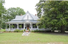
56 National Register listings published here.
Sources: the National Register database, National Park Service
71 topographic sheets and 8 fire insurance atlases across 2 places.
56 National Register listings published here.
Sources: the National Register database, National Park Service
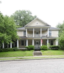
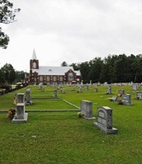
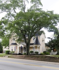
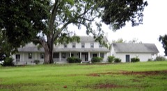
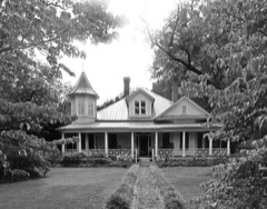
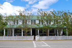
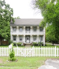
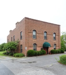
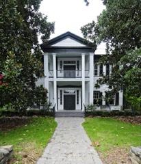
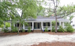
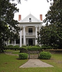
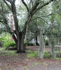
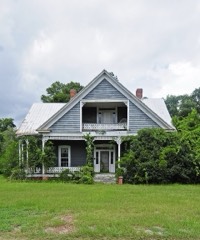
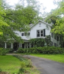
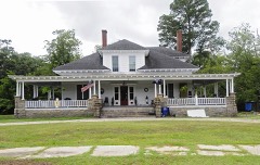
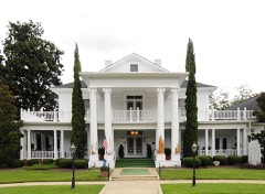
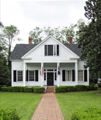
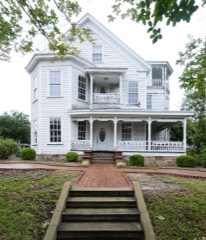
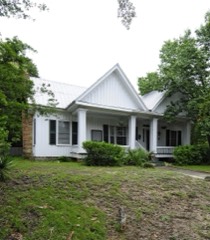
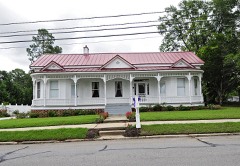
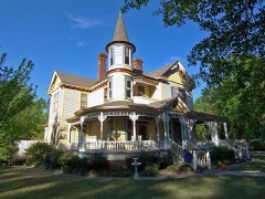
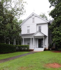
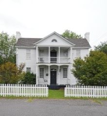
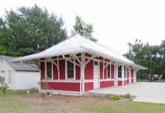
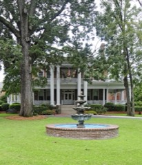
Every property in this county listed on the National Register of Historic Places, with the year it was listed and the federal nomination document.
Sampled issues, machine-read from the Library of Congress scan and published page by page, so every headline and column is searchable text.
Lexington, South Carolina, 1870 to 1917. Machine-read from the Library of Congress scan.
Lexington, S.C., 1919 to 2001. Machine-read from the Library of Congress scan.
Lexington, S.C., 1917 to 1919. Machine-read from the Library of Congress scan.
Batesburg, S.C., 1901 to 1911. Machine-read from the Library of Congress scan.
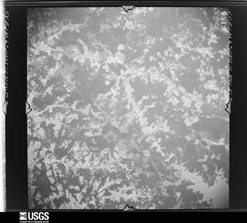
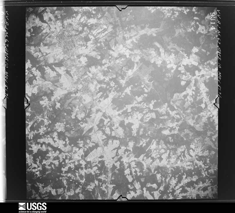
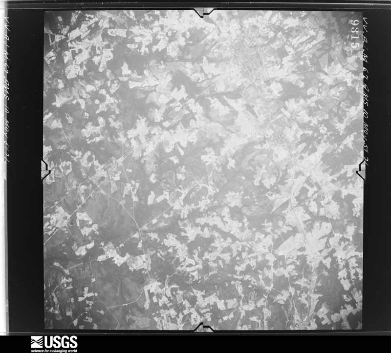
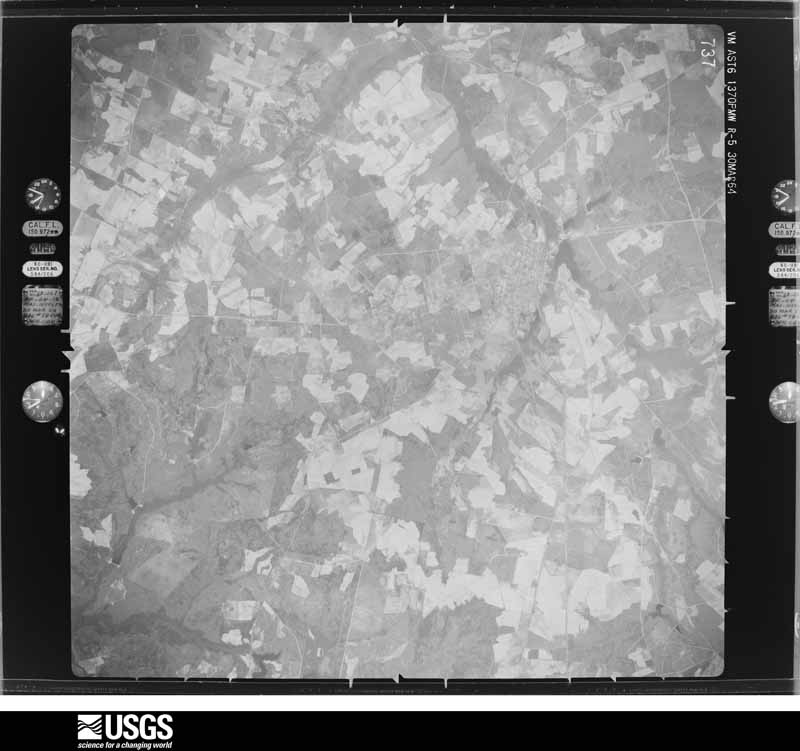
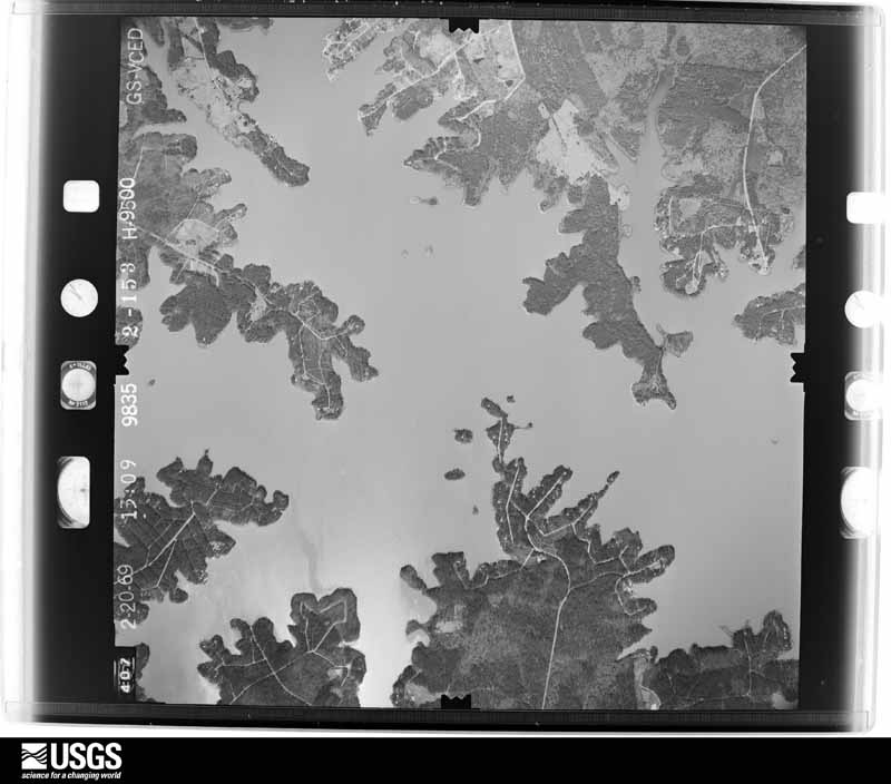
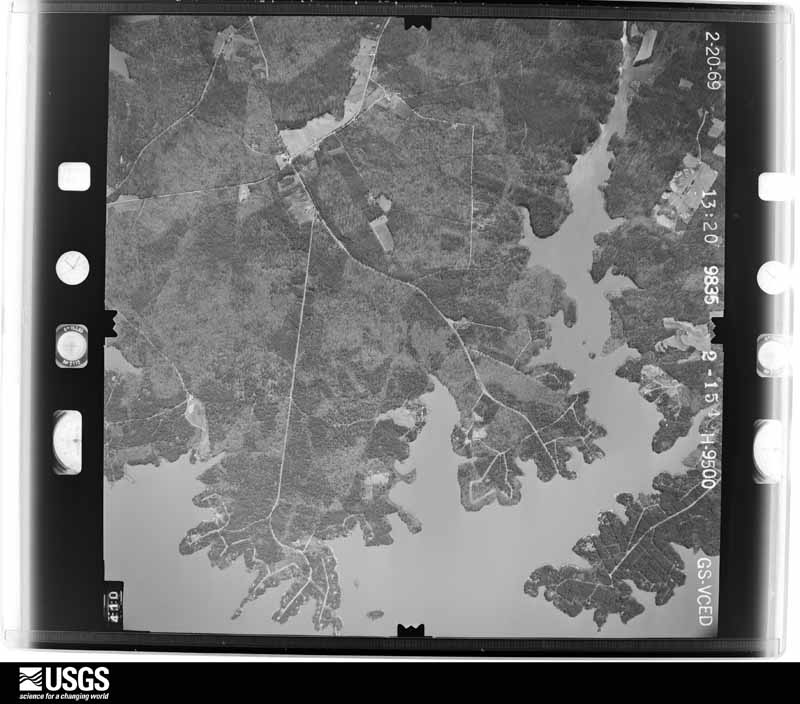
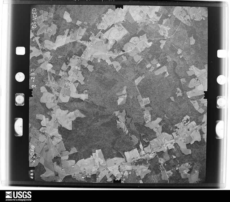
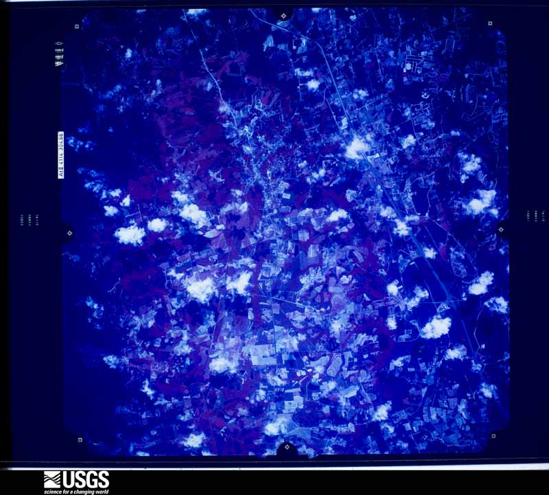
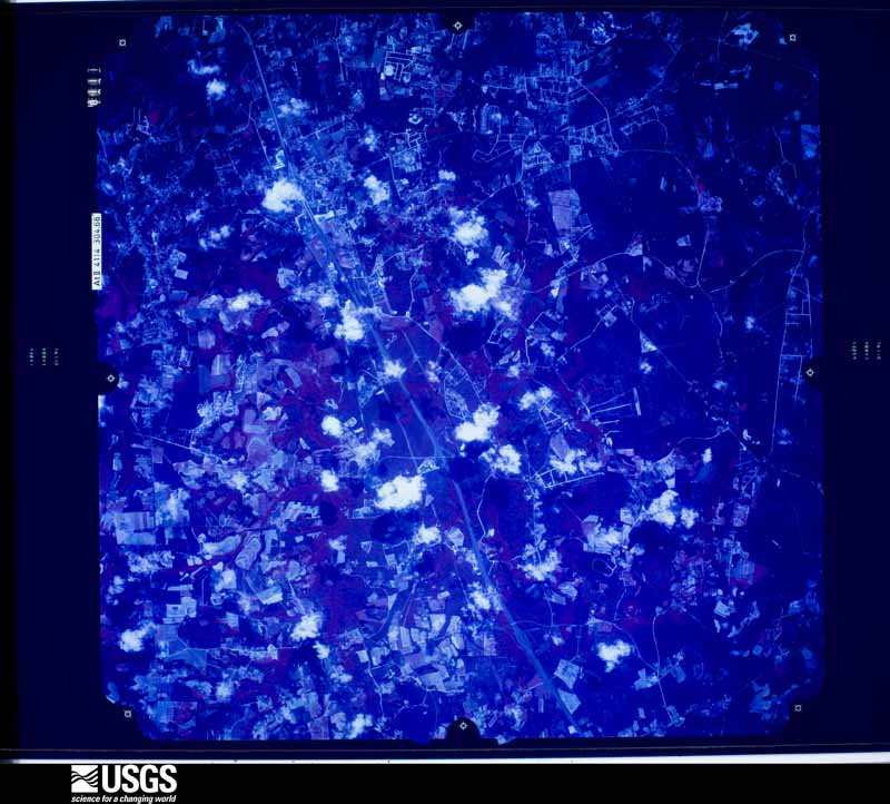
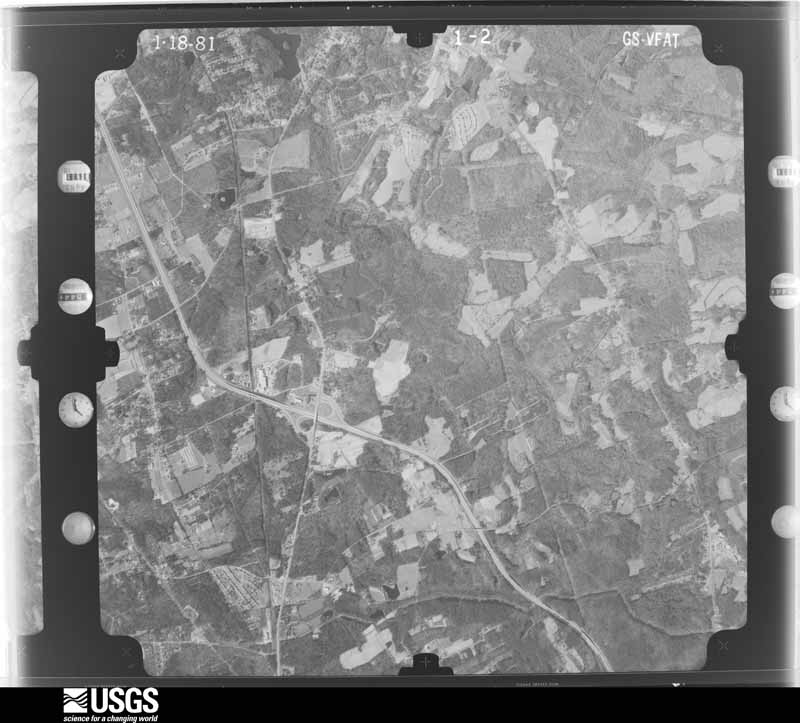
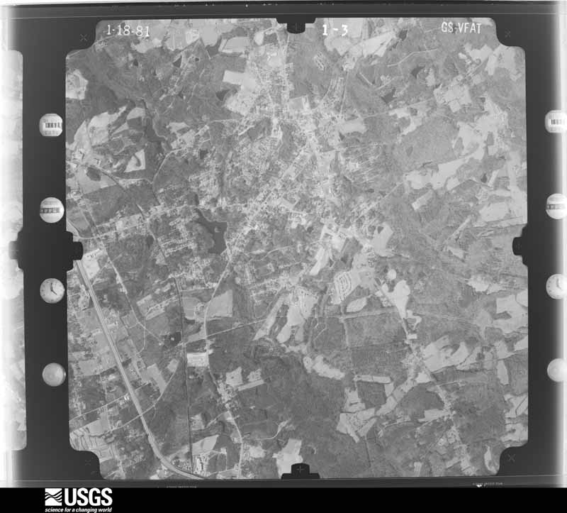
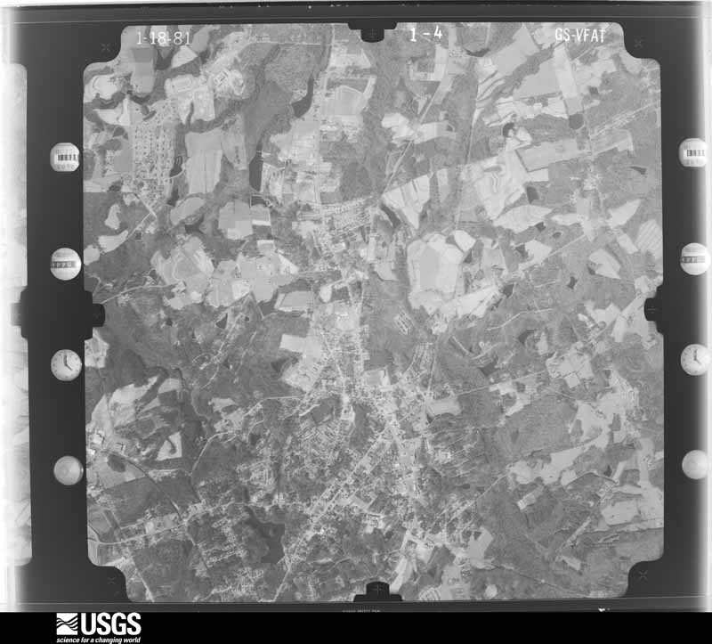
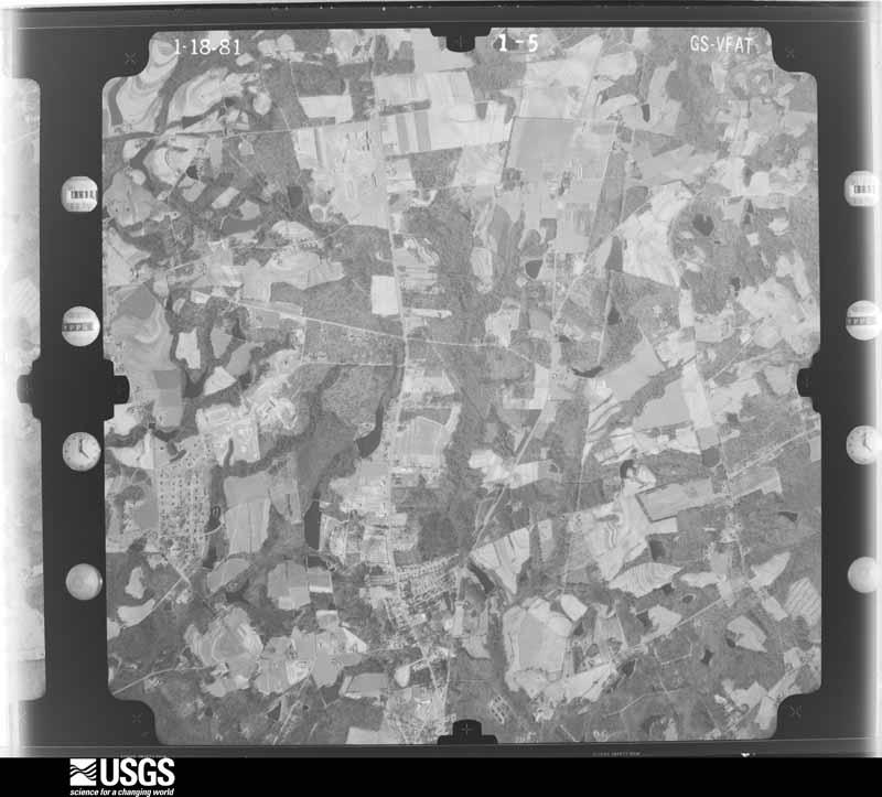
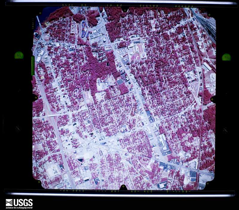
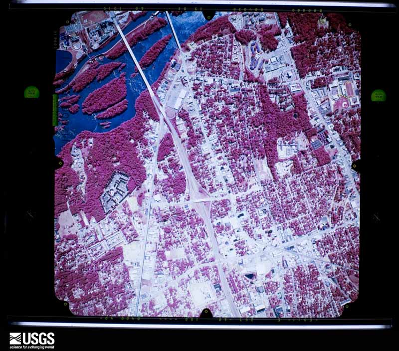
Flown by the U.S. Geological Survey between 1937 and 1989, the Aerial Photo Single Frames collection is the definitive mid-century view of the land: fields, roads and rivers as the camera saw them. The Survey holds 1,888 frames inside the rectangle that bounds this county; the 45 frames below were taken over the county itself, chosen across the decades of flights (at most four a year from that rectangle), so one flight cannot crowd out the rest. The full set is free to browse and download at EarthExplorer under the dataset Aerial Photo Single Frames.
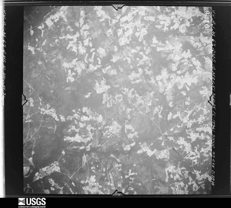
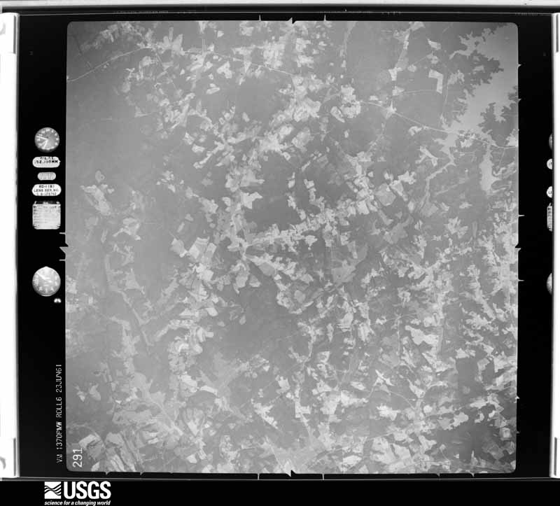
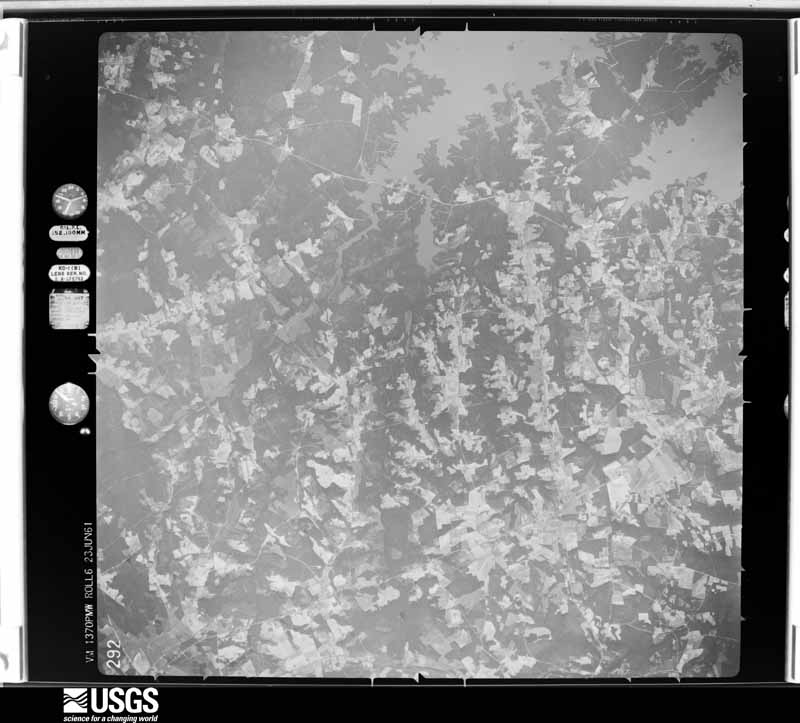
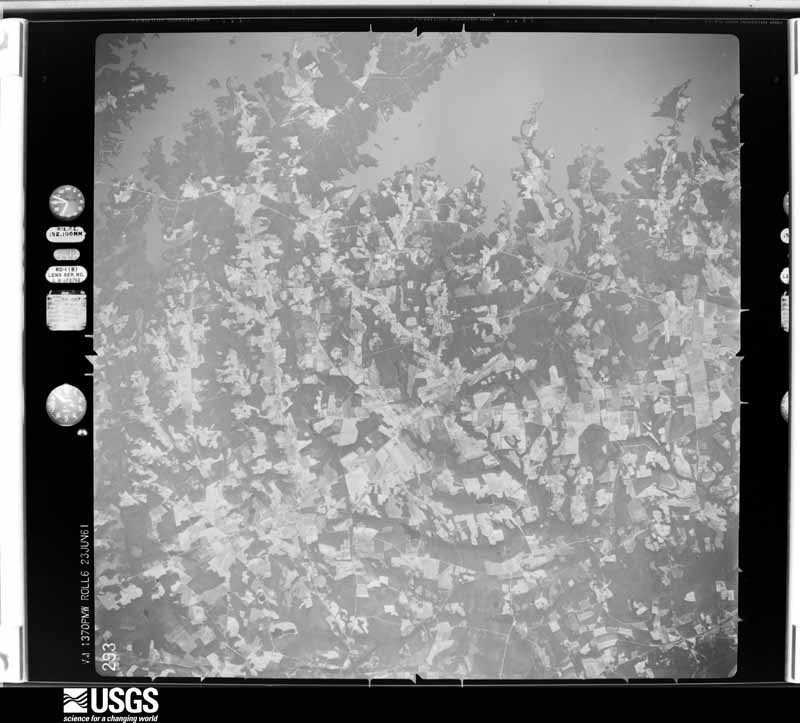
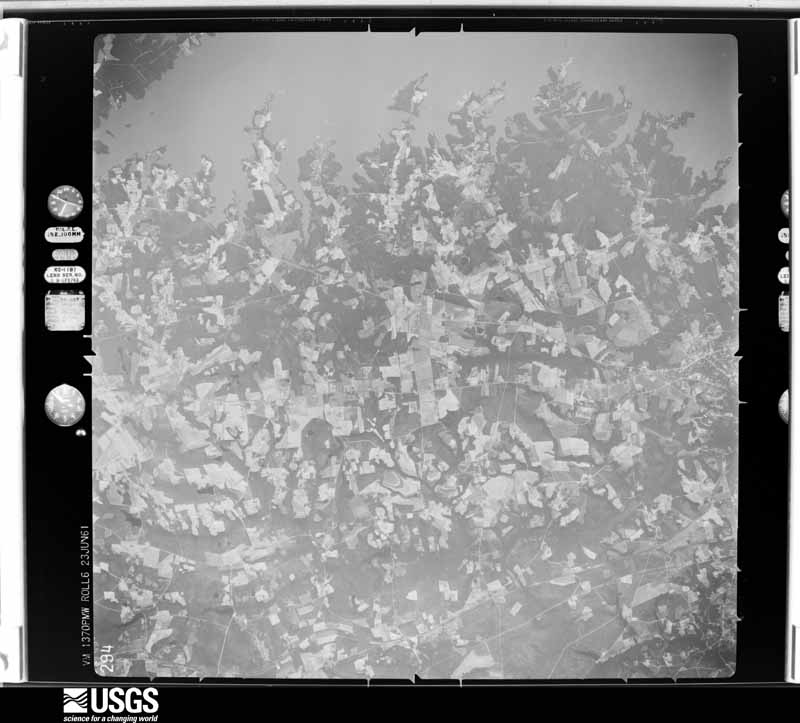
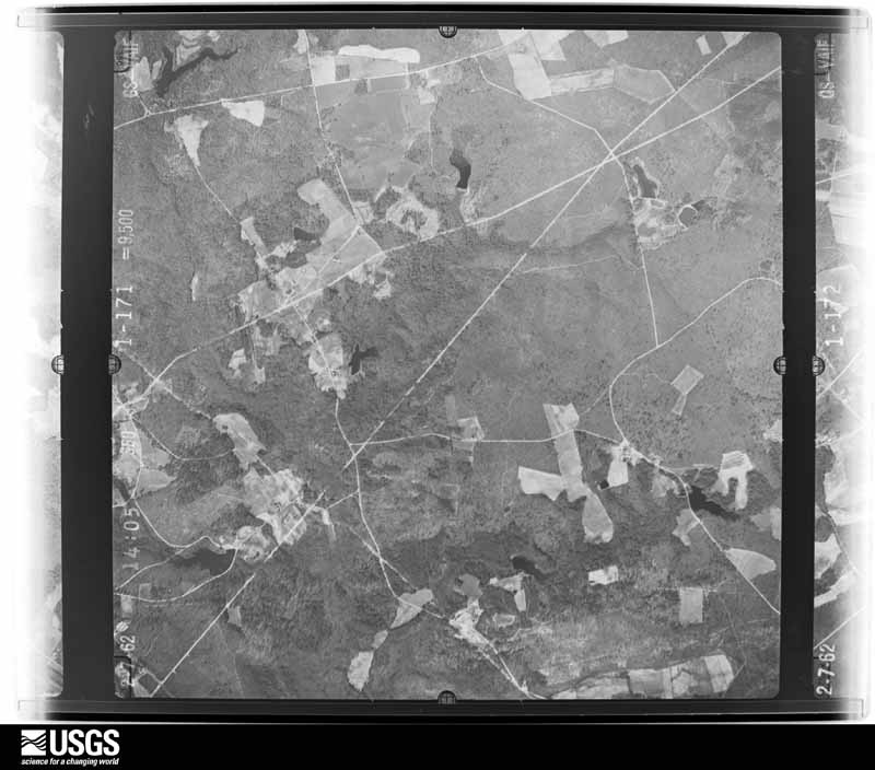
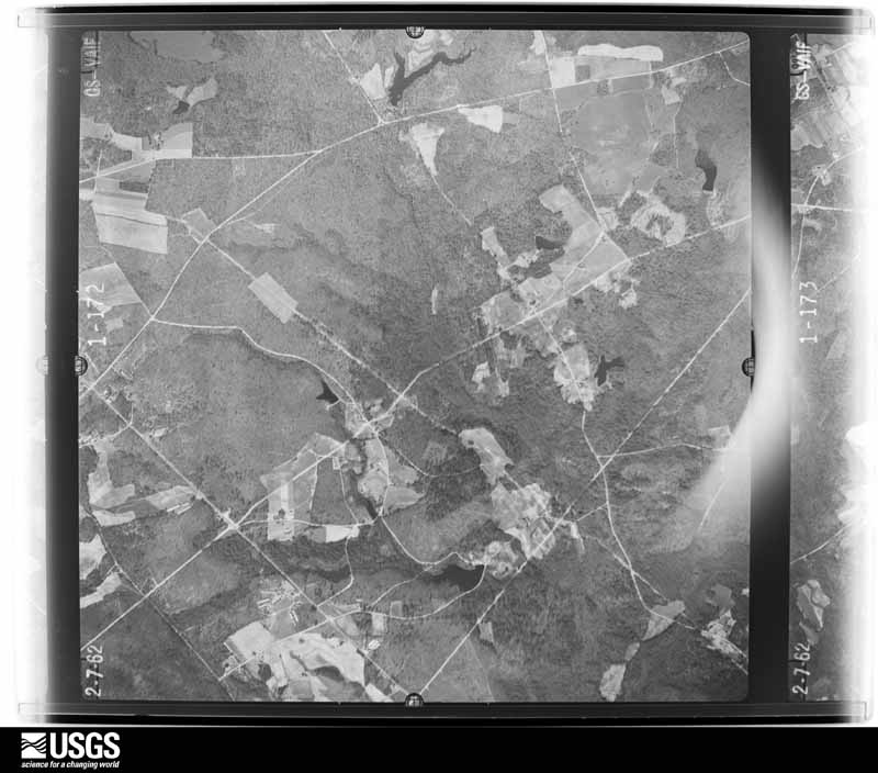
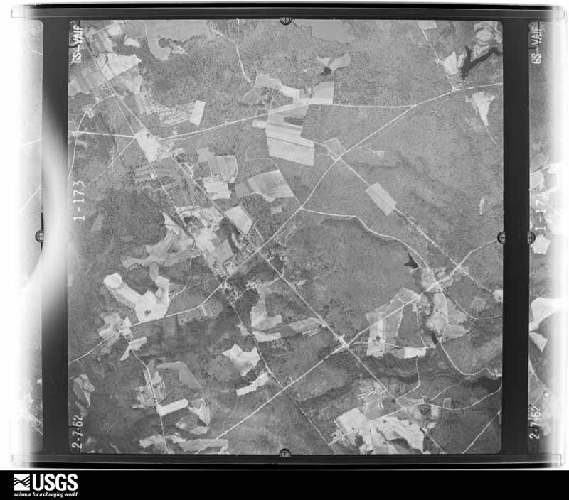
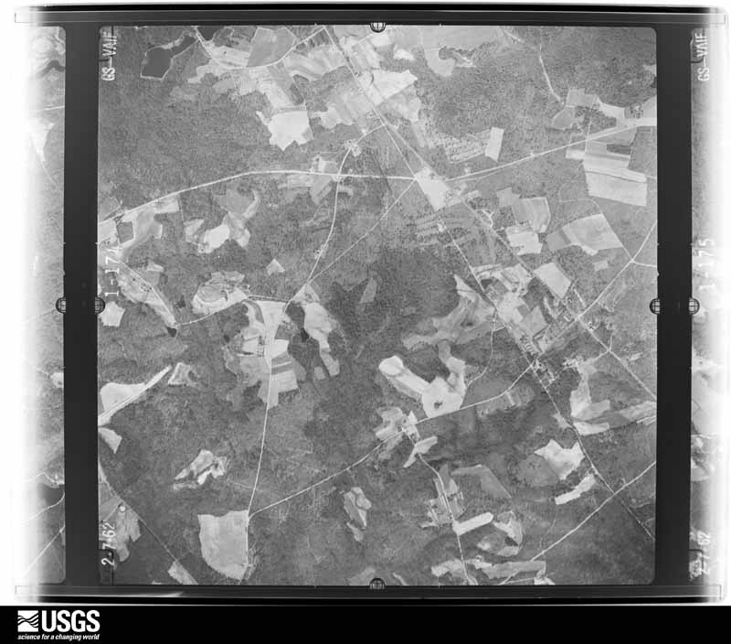
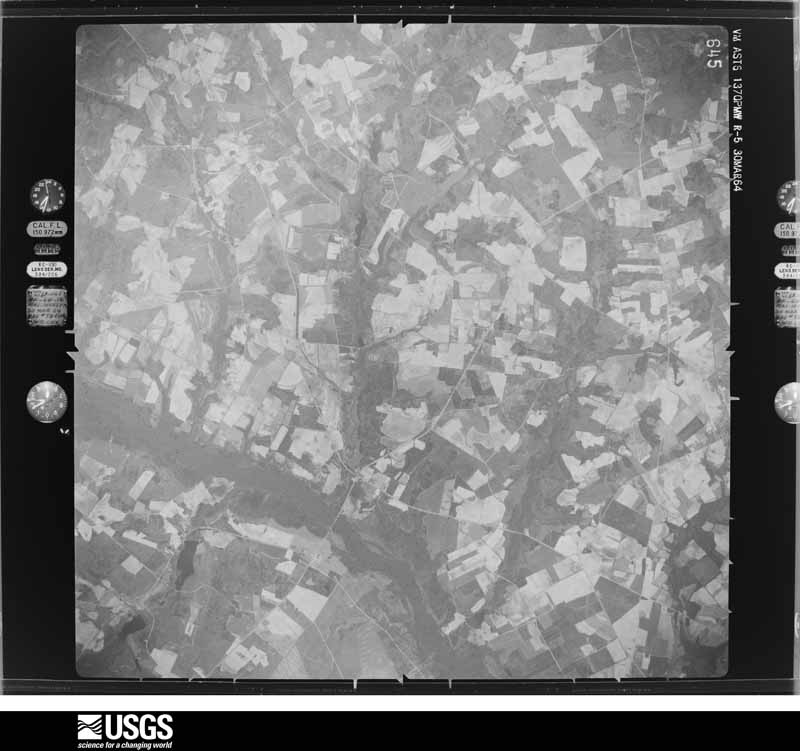
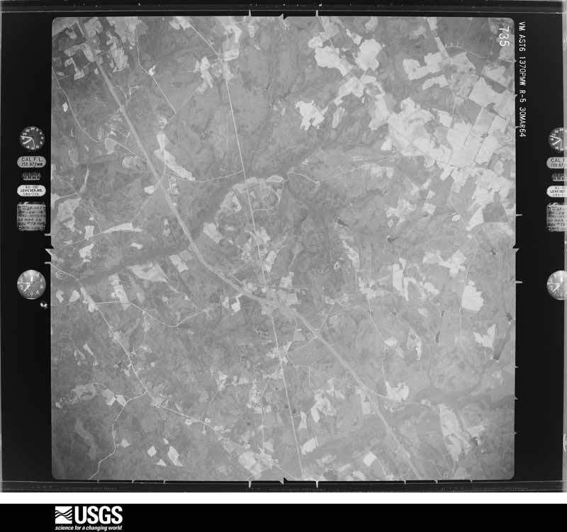
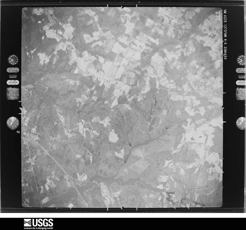
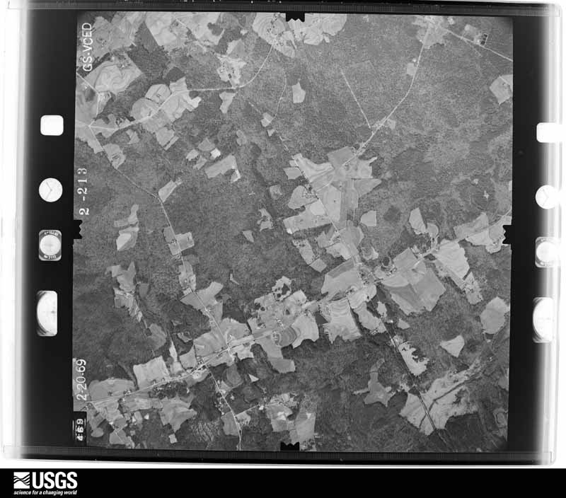
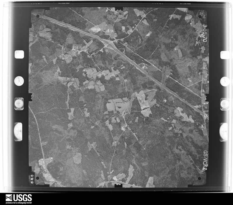
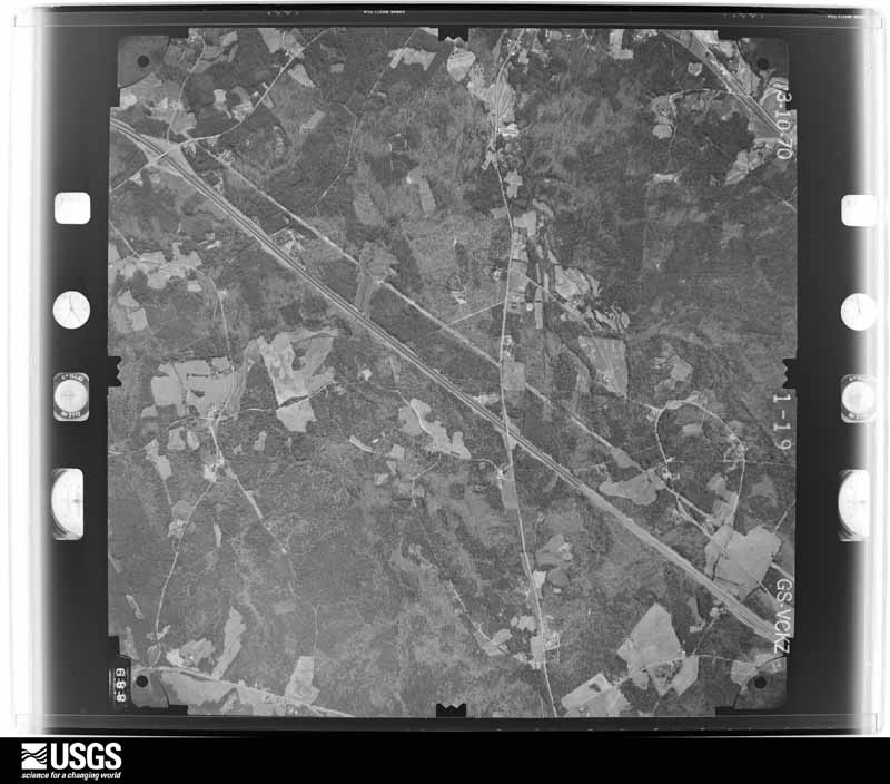
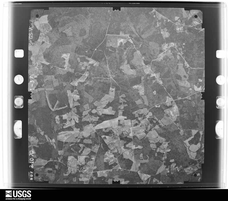
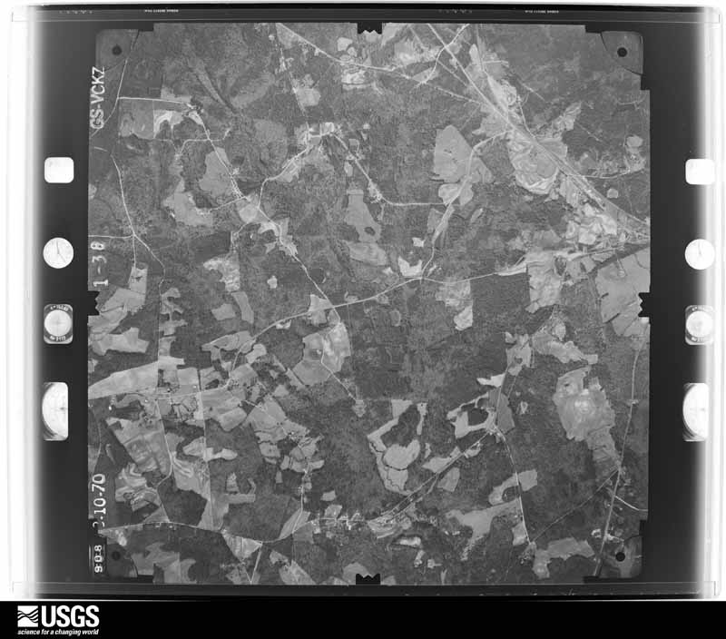
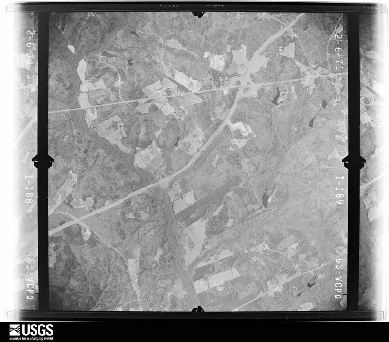
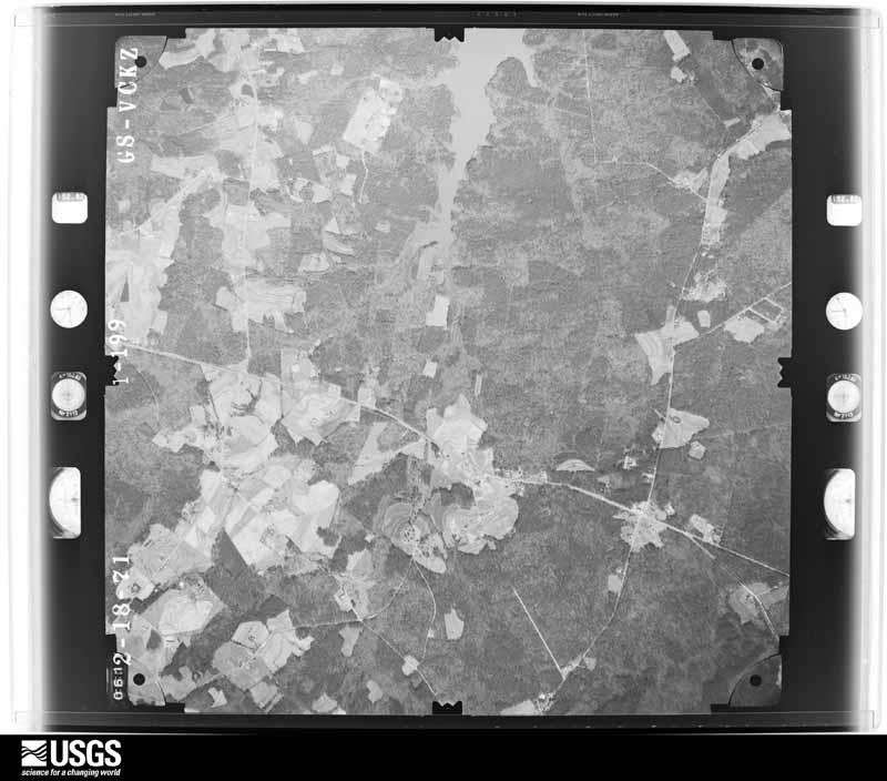
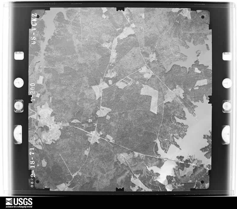
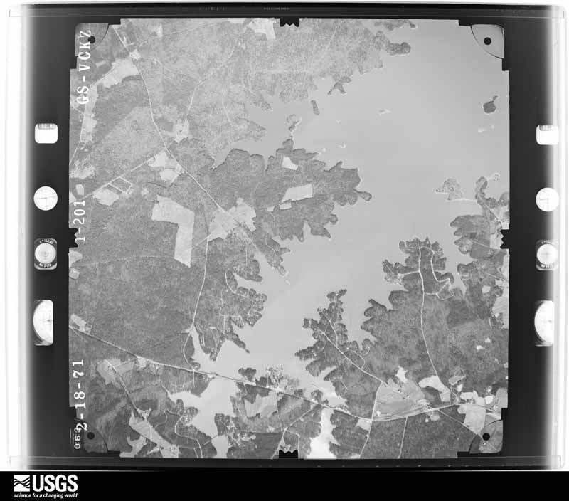

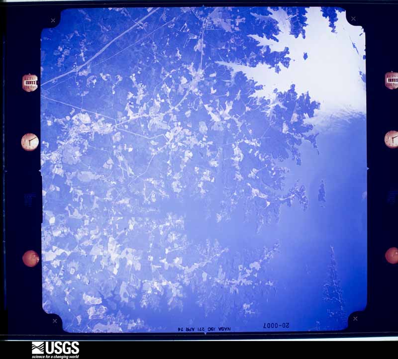



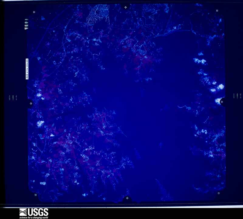
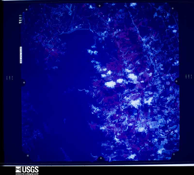
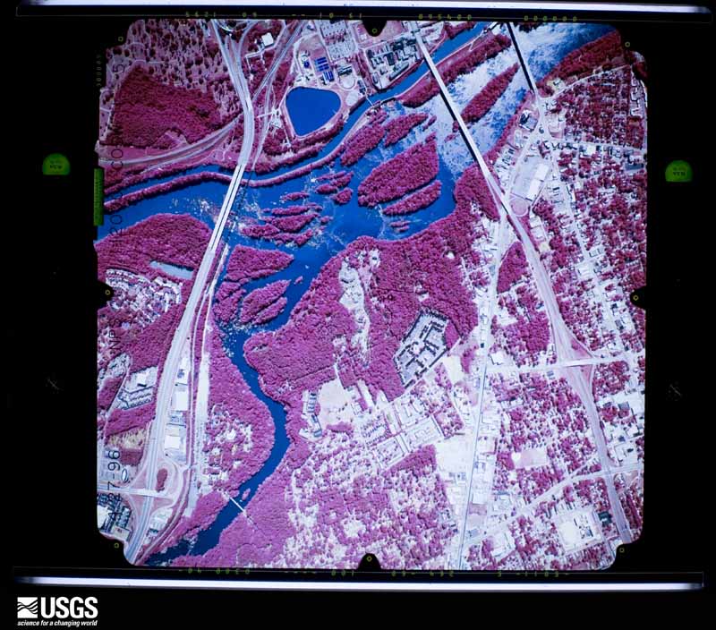
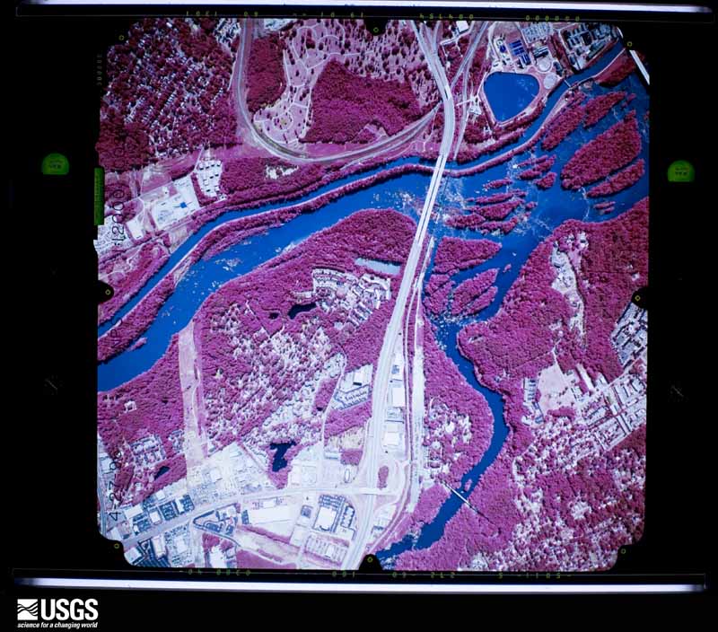
The thermometers that kept this county's weather, and the gages that measured the flow of its streams, as the federal records hold them. The extremes below are measured values from those records, not estimates.
Who lived here in 1950, one enumeration district at a time, as the Census Bureau described each district. Each row opens its official National Archives result, with Population Schedules and ED Maps available there.
Every wildfire the federal occurrence database records inside this county: 3,572 of them, burning about 8,453 acres. 106 started naturally and 217 were recorded as arson. Each settlement page carries the fires within five miles of it.
| Reported cause | Fires |
|---|---|
| Missing data/not specified/undetermined | 1576 |
| Debris and open burning | 904 |
| Misuse of fire by a minor | 455 |
| Arson/incendiarism | 217 |
| Equipment and vehicle use | 156 |
| Natural | 106 |
| Smoking | 51 |
| Recreation and ceremony | 40 |
| Power generation/transmission/distribution | 29 |
| Railroad operations and maintenance | 26 |
| Other causes | 9 |
| Fireworks | 3 |
The five largest, by the area the report gives. None of them was recorded as arson.
| Date | Cause | Size | Reported by | Name on the report |
|---|---|---|---|---|
| 12 March 2005 | Missing data/not specified/undetermined | 180 acres | South Carolina Forestry Commission | not named |
| 3 April 2006 | Debris and open burning | 140 acres | South Carolina Forestry Commission | SWAMP RABBIT |
| 30 June 2002 | Natural | 125 acres | South Carolina Forestry Commission | not named |
| 22 March 1995 | Missing data/not specified/undetermined | 100 acres | South Carolina Forestry Commission | not named |
| 7 February 2007 | Debris and open burning | 78 acres | South Carolina Forestry Commission | not named |
| 17 April 1993 | Missing data/not specified/undetermined | 70 acres | South Carolina Forestry Commission | not named |
| 5 January 1999 | Debris and open burning | 60 acres | South Carolina Forestry Commission | not named |
| 3 March 1992 | Missing data/not specified/undetermined | 50 acres | South Carolina Forestry Commission | not named |
Every settlement page carries the fires within five miles of it - see the settlement index below.
The NOAA Storm Events Database holds 1,277 reports for this county, causing 5 deaths, 91 injuries and about $79,542,700 in recorded property damage. Each settlement page carries the reports that name it.
| Kind of event | Reports |
|---|---|
| Thunderstorm Wind | 802 |
| Hail | 303 |
| Flash Flood | 77 |
| Tornado | 49 |
| Heavy Rain | 19 |
| Lightning | 12 |
| Flood | 12 |
| Funnel Cloud | 3 |
The most serious of them, by death, then injury, then recorded damage. The accounts are quoted exactly as the forecast office filed them.
| When | Event | Place named | Harm | What the report says |
|---|---|---|---|---|
| July 1997 | Tornado (F2) | Gaston | 1 killed, 6 hurt, $917,000 | An F2 tornado producing winds to 150 mph killed a 32 year old female and injured 6 others. Two homes were destroyed and 9 others had major damage. Two apartements were destroyed (duplex). Seven mobile homes were destroyed and 94 had minor damage. Numerous trees were down and two crop fields had areas of destroyed crops. |
| June 2004 | Lightning | Lexington | 1 killed, 1 hurt | Lightning struck a tree and branched off to hit a man and a woman. The man was killed and the woman had a slight injury. |
| August 1998 | Thunderstorm Wind | Swansea | 1 killed, $12,000 | Sheriff reported one person killed when his pickup truck was hit by a falling tree. Several trees were taken down in the Swansea area. |
| February 2020 | Thunderstorm Wind | Arthur | 1 killed | SCHP reported a tree down on Interstate 20 near mile marker 58. Later media reports indicated that the tree fell onto a vehicle and killed a female inside the car. |
| June 2015 | Lightning | (Cae)Columbia Metro | 1 killed | Social media reported a woman was struck by lightning as she deplaned onto the tarmac to walk into the terminal at Columbia Metropolitan Airport. She eventually died from her injuries August 5. |
| August 1994 | Tornado (F3) | Lexington | 40 hurt, $50,000,000 | Lake Murray ,Tornado touched down near intersection of SC311 and SC244 3 miles south-southeast of Lexington. Major damage occurred to the Glassmaster factory at the intersection of SC6 and Interstate 20. The tornado from that point was mostly on the ground as it moved through east and north central Lexington. Outside of Lexington, the tornado passed near the Rikard Nursing home. The storm became more intense with another area of severe damage in the Secret Cove area along the south Lake Murray shore. The tornado apparently dissipated over Lake Murray although strong winds were noted in the Old Forbes Road area on the northern shore of Lake Murray. Approximately 200 homes were damaged, many businesses, several churches and public buildings were also damaged. Five electric substations were damaged in Lexington County with 15,000 customers without electrical power. Forty people were injured. The tornado was observed by many people from the time it first struck near SC602 until it dissipated over Lake Murray. |
| June 2025 | Lightning | Providence | 20 hurt | SC Emergency Management and Irmo Fire Department report treating 20 individuals that were struck by lightning at Lake Murray Public Park in Lexington, SC. 18 of those 20 were transported to nearby hospitals. Those 18 people included 6 adults and 12 children. None of the injuries were considered life-threatening. Time based on source report and ground based lightning detection network. |
| May 1999 | Thunderstorm Wind | Batesburg | 6 hurt | Sheriff reported trees down throughout county and damage to homes and buildings, including Airport High School where several students and faculty were injurred by flying debris. |
| August 1994 | Tornado (F0) | not stated | 4 hurt | Tornado observed as it touched down and damaged trees and home in southeast Edmund. It lifted and moved across Edmund Fire Station, then touched down and damaged pine forest immediately north of Edmund. |
| February 1993 | Tornado (F1) | to 4 ENE | 2 hurt, $5,000,000 | A tornado clipped off or uprooted numerous trees along a 0.5-mile-path. Roof of a house was lifted up and set back down, a mobile home destroyed, another overturned, and severely damaged, roof blown off a garage, shed picked up and destroyed, and four chicken houses damaged. |
| January 1972 | Tornado (F1) | not stated | 2 hurt, $250,000 | no account filed |
| May 1998 | Thunderstorm Wind | Lexington | 2 hurt, $15,000 | Trees fell on a vehicle as it pulled out from under an over pass on I-20 at SC highway 34. |
| November 1995 | Thunderstorm Wind | Irmo | 2 hurt | Trees, power lines, and large signs down. Two people were slightly injured when trees fell on a building. |
| March 2010 | Tornado (EF2) | Ridge Rd Xrds | 1 hurt, $1,000,000 | An EF2 with max winds of 125mph touched down near Ridge Road and continued northeast to Lake Murray. Around 40 homes had some form of damage with numerous trees and powerlines down. Several vehicles were also damaged and there was one minor injury. One horse was killed when a portion of a barn collapsed. |
| April 1957 | Tornado (F2) | not stated | 1 hurt, $25,000 | no account filed |
| January 2024 | Tornado (EF1) | Syrup | 1 hurt | A National Weather Service storm survey team confirmed an EF-1, with peak winds of|90 mph, that crossed Lake Murray Tuesday afternoon. The tornado developed over|Shull Island and moved northeast across Lake Murray. The tornado then came ashore|at Indian Summer Point. The tornado damaged some tree tops at Shull Island before|moving quickly north-northeast, snapping and uprooting multiple trees along Westridge |Court up to Mallard Drive. The tornado then dissipated before reaching the intersection|of Johns Creek Road and Mallard Drive.||The most significant damage occurred in the Westridge Court area off of Wessinger|Road. The tornado uprooted a large pine tree that fell onto the roof of a home, injuring|one elderly person. This person was transported with minor injuries to the hospital|and later released. There were several large Cedar trees that were uprooted or|snapped in this area as well. Minor damage also occurred to a small barn with the roof|partially uplifted. Just before the tornado dissipated, it uprooted a large tree along|Mallard Drive. |
| June 2000 | Thunderstorm Wind | Chapin | 1 hurt | Sheriff reported trees down. |
| February 1989 | Thunderstorm Wind | not stated | 1 hurt | no account filed |
| July 1986 | Thunderstorm Wind | not stated | 1 hurt | no account filed |
| October 2015 | Flash Flood | Dixiana | $5,000,000 | SC Highway Patrol reports flooding on I-77 Southbound at I-26, road closed. |
| October 2015 | Flash Flood | Clubhouse Xrds | $5,000,000 | Lexington County dispatch reports flooding across much of north-central Lexington County. Numerous roads flooded, with too many to name at this time. Some small dams being breached at this time. |
| October 2015 | Flash Flood | Irmo | $3,000,000 | Law enforcement rescued over 60 people from 55 homes in the Coldstream neighborhood between 7:30 AM and 10:30 AM. |
| June 2004 | Lightning | Irmo | $750,000 | Sheriff reported 4 homes on fire in Irmo from lightning strikes. |
| June 2023 | Flash Flood | Batesburg | $500,000 | Batesburg-Leesville police reported numerous road closures with multiple stalled vehicles including Hall Street at Elizabeth Street, Liberty Street at S. Oak Street, and Railroad Ave at Fox Street. A vehicle was submerged by flood water on Bethlehem Rd.|Significant flooding along Hwy 1 near Broad St under the Railroad bridge with at least 2 feet of water crossing the road resulted in a permanent road closure until CSX railroad could come and inspect the railroad bridge due to unstable tracks from wash out. |Water was also entering 4 homes in and around Batesburg-Leesville. |
| October 2015 | Flash Flood | Springdale | $500,000 | SC Highway Patrol reports Westgate Drive at Wilton Road closed due to flooding. |
| October 2015 | Flash Flood | Springdale | $500,000 | SC Highway Patrol reports Methodist Park Road at US 1 closed due to flooding. |
| October 2015 | Flash Flood | Lexington | $500,000 | NWS employee reports flooding at Silverstone road and Whiteford Way. |
| October 2015 | Flash Flood | Barr | $500,000 | SC Highway Patrol reports roadway washed out at Nazareth Road and Lewis Pond Court. |
| October 2015 | Flash Flood | Lexington | $500,000 | NWS employee reports US 1 about 1 mile west of I-20 flooded and impassable. |
| October 2015 | Flash Flood | Arthur | $300,000 | NWS employee reports Laurel Road at Mineral Springs Road flooded and impassable. |
| June 1996 | Lightning | Lexington | $300,000 | no account filed |
| April 2016 | Thunderstorm Wind | Syrup | $250,000 | Straight Line Winds produced a damage path which began along Indian Summer Point and Libby Ariail Court along the north shore of Lake Murray. Several pine trees were uprooted or snapped landing on the roofs of a couple of homes. This resulted in significant damage to a covered porch on one home. The storm then moved northeast across the next cove producing additional tree damage near Old Lexington Road and Jake Meetze Road. The most significant damage occurred in The Cove subdivision. Several structures sustained minor to moderate damage due to downed hardwood and softwood trees up to 4 feet in diameter. There were also several public reports of trees down around the town of Chapin. |
| February 1989 | Tornado (F1) | not stated | $250,000 | no account filed |
| February 1974 | Tornado (F1) | not stated | $250,000 | no account filed |
| November 1995 | Tornado | Gaston | $225,000 | Three mobile homes, two frame homes, and one shed destroyed. |
| January 1995 | Thunderstorm Wind | Irmo and St | $200,000 | A northeast-southwest line of severe thunderstorms moved from eastward across central and eastern South Carolina. Thunderstorm winds blew down trees and power lines between Abbeville and Antreville, in eastern Newberry County and northern Lexington County. This area of turbulent weather spawned a tornado in northwestern Richland County near northeast shore of Lake Murray. The tornado dipped down immediately east of Lake Murray and moved eastward to Broad River. Roofs were torn off apartments and one home near Ballentine. The storm caused extensive damage to trees, power lines and to homes in the immediate path of the tornado. There were many homes damaged, with a total damage of $10 million in Richland County. Storm left 29,000 homes without power. |
| August 2005 | Lightning | Columbia Arpt | $160,000 | Lightning caused a home fire near Pine Ridge at 3994 Quarter Trail road in the Charwood subdivision. |
| July 2008 | Thunderstorm Wind | Batesburg | $150,000 | Reported large trees down in Batesburg and power poles down in Leesville. Significant damage also occurred at Wiz's Southern Convenience storm and Oswald Lumber company. |
| April 2011 | Thunderstorm Wind | Leesville | $120,000 | Local police reported several trees down on 4 homes and powerlines down as well. |
| July 2010 | Lightning | Lexington | $120,000 | WIS TV reported a home had major damage from a lightning induced fire on Ball Park road. |
| August 2008 | Thunderstorm Wind | Lexington | $120,000 | Two large trees fell on a home pretty much destroying it. One person was trapped inside but was not injured. |
| July 2008 | Thunderstorm Wind | Lexington | $120,000 | Sheriff Dispatch reported numerous trees down and large limbs down across the town. Several homes were damaged. NWS Survey reported that the damage was due to a wet microburst which produced winds estimated to be around 90 mph. |
| October 2015 | Flash Flood | Lexington | $100,000 | Old Mill Pond Dam failed along Twelve Mile Creek. Damaged businesses downstream along with roadway at highway 1 and a family had to be rescued from their home. |
| October 2015 | Flash Flood | Summit | $100,000 | SC Highway Patrol reports road washout at Elzie Hallman Road and Pond Branch Road. |
| October 2015 | Flash Flood | Barr | $100,000 | SC Highway Patrol reports roadway washout at Roscoe Road and Holm Oak Road. |
| October 2015 | Flash Flood | Murray | $100,000 | SC Highway Patrol reports roadway washout at Warner Road and Peach Festival Road near Gilbert. |
| October 2015 | Flash Flood | Gilbert | $100,000 | SC Highway Patrol reports roadway washout at Hayes Crossing Road and Windy Road. |
| October 2015 | Flash Flood | Pooles Xrds | $100,000 | Sandy Ridge Road and Swansea Road washed out south of Pelion and west of Swansea. |
| October 2015 | Flash Flood | Lexington | $75,000 | Gibson Pond Park Dam Failed along Twelve Mile Creek in Lexington. |
| July 2002 | Thunderstorm Wind | Columbia Arpt | $75,000 | A microburst developed right over the Columbia and produced wind gusts of 60-70mph causing significant damage to several hangers and a few planes. |
| May 2000 | Lightning | Lexington | $75,000 | Lightning struck a home at 213 Chancery Lane and caused $75K in damage. |
| July 2012 | Hail | Chapin | $65,000 | Public reported golfball size hail causing damage to roofs and vehicles and covering much of the ground. |
| February 2012 | Tornado (EF1) | Fairview Xrds | $60,000 | NWS storm survey found the tornado in Aiken county crossed into Lexington county and took down many trees and did minor damage to a couple of homes. |
| April 2011 | Thunderstorm Wind | Lexington | $60,000 | EM reported many trees down around the city, some on a couple of homes. |
| July 2009 | Thunderstorm Wind | Lexington | $60,000 | NWS Storm Survey indicated a microburst affect 2 neighborhoods 1 to 2 miles west northwest of Lexington. Winds were estimated to have ranged from 80 to 90 mph. The Westbrook and Martins Grove neighborhoods were hit the hardest. Several homes sustained some damage to vinyl siding and a couple homes had roof damage. There were numerous large limbs down but also several trees that were snapped off or up rooted. Limbs and trees fell on a few houses as well as one car. |
| August 2008 | Thunderstorm Wind | Gilbert | $60,000 | EM reported several trees down, a dock destroyed, and a boat overturned at 622 East Point road on Lake Murray. SCE&G reoprted many poles and power lines down. |
| June 2003 | Lightning | West Columbia | $55,000 | Lightning struck a home setting on fire and destroying it. |
| October 2018 | Flash Flood | Irmo | $50,000 | Flash flooding in the Whitehall subdivision along Kinley Creek flooded at least 10 homes, with several residents rescued from their homes. |
| February 2016 | Tornado (EF0) | Dixiana | $50,000 | Survey determined that an EF0 tornado touched down near the rail freight automobile storage yard then crossed hwy. 321 and headed northeast down Dixiana Road before lifting near Grace Chapel Church. |
| October 2015 | Flash Flood | Pelion Corporate Arp | $50,000 | SC Highway Patrol reports road washout at Platt Springs and Calks Ferry Road. |
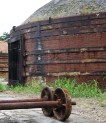
The Survey's mineral resources record lists 80 workings inside this county. 28 still produce and 52 are closed or unrecorded. Each settlement page carries the workings within five miles of it.
| Commodity | Workings |
|---|---|
| Sand and Gravel, Construction | 41 |
| Clay | 19 |
| Sand | 6 |
| Silica | 3 |
| Zirconium, Titanium, Iron, Thorium | 2 |
| Granite, Stone, Crushed/Broken | 2 |
| Stone, Crushed/Broken | 2 |
| Iron, Titanium, Zirconium | 1 |
| Iron, Zirconium, Thorium, Titanium | 1 |
| Zirconium, Thorium, Titanium, Iron | 1 |
| Clay, Kaolin | 1 |
| Fire Clay (Refractory) | 1 |
The least common of them first, because a county's hundredth gravel pit says nothing its first ten did not.
| Where | Site | Commodity | Status | Recorded |
|---|---|---|---|---|
| Congaree Creek | Iron, Zirconium, Thorium, Titanium | Unknown | Placer , Modern , Fluvial | |
| Congaree River | Zirconium, Thorium, Titanium, Iron | Unknown | Placer , Modern , Fluvial | |
| Guignard Mill | Clay, Kaolin | Past Producer | ||
| Harleys Mill Pond | Iron, Titanium, Zirconium | Unknown | Placer , Modern , Fluvial | |
| Lexington Mine | Fire Clay (Refractory) | Past Producer | ||
| Casparis Stone Quarry | Granite, Stone, Crushed/Broken | Past Producer | 1902 | |
| Cayce Quarry | Granite, Stone, Crushed/Broken | Producer | 1893 | |
| Cayce Quarry | Stone, Crushed/Broken | Producer | ||
| Red Bank Creek | Zirconium, Titanium, Iron, Thorium | Unknown | Placer , Modern , Fluvial | |
| Twelve Mile Creek | Zirconium, Titanium, Iron, Thorium | Unknown | Placer , Modern , Fluvial | |
| Unnamed Crushed Stone Quarry | Stone, Crushed/Broken | Unknown | Igneous | |
| Cayce Silica Plant | Silica | Unknown | ||
| Columbia Pit East | Silica | Producer | ||
| Columbia Works | Silica | Producer | ||
| Bledsoe | Sand | Unknown | Sedimentary | |
| Bowers Mine | Sand | Unknown | Sedimentary | |
| Edmund | Sand | Unknown | Sedimentary | |
| Edmund | Sand | Unknown | Sedimentary | |
| Frick Mine | Sand | Unknown | Sedimentary | |
| Rawl-Cotton Branch Road Mine | Sand | Unknown | Sedimentary | |
| Adolphus Hite Kaolin Pit | Clay | Past Producer | Sedimentary | |
| Clamp Kaolin Pit | Clay | Past Producer | Sedimentary | |
| Corley Mill Rd Pit | Clay | Producer | Metamorphic | |
| Hites Kaolin Pit | Clay | Producer | ||
| Hoyt-Hite Kaolin Pit | Clay | Unknown | Sedimentary | |
| Lexington Co. Clay and Shale Mines | Clay | Past Producer | ||
| Lexington County Mine | Clay | Unknown | Sedimentary | |
| Lexington County Mine | Clay | Unknown | Sedimentary | |
| Lexington County Mine | Clay | Unknown | Sedimentary | |
| Lexington County Mine | Clay | Unknown | Sedimentary | |
| Lexington County Mines | Clay | Producer | ||
| Lexington County Mines | Clay | Producer | ||
| Lexington County Mines | Clay | Producer | ||
| Lexington County Mines | Clay | Producer | ||
| Marlowe Creek | Clay | Past Producer | Sedimentary | |
| Sox Mine | Clay | Producer | Sedimentary | |
| Unidentified Mine | Clay | Unknown | Sedimentary | |
| Unidentified Mine | Clay | Past Producer | Sedimentary | |
| Unidentified Mine | Clay | Past Producer | Sedimentary | |
| Bowen Pit | Sand and Gravel, Construction | Producer | ||
| Columbia Pit East | Sand and Gravel, Construction | Unknown | Sedimentary | |
| Columbia Pit West | Sand and Gravel, Construction | Unknown | Sedimentary | |
| Columbia Plant | Sand and Gravel, Construction | Producer | Sedimentary | |
| Davis Bros.Sand Pit | Sand and Gravel, Construction | Past Producer | ||
| Dixiana Mine | Sand and Gravel, Construction | Producer | ||
| Dixiana Mine | Sand and Gravel, Construction | Producer | ||
| Dixiana Mine | Sand and Gravel, Construction | Producer | ||
| Dixiana Mine #2 | Sand and Gravel, Construction | Producer | Sedimentary | |
| Dixiana Mine East | Sand and Gravel, Construction | Past Producer | ||
| Dixiana Mine West | Sand and Gravel, Construction | Past Producer | ||
| Dixiana Mine and Mill | Sand and Gravel, Construction | Unknown | Sedimentary | |
| Edmund Mine | Sand and Gravel, Construction | Unknown | Sedimentary | |
| Edmund Mine & Mill | Sand and Gravel, Construction | Producer | ||
| Epting Ballanger Roland Pit | Sand and Gravel, Construction | Past Producer | Sedimentary | |
| Gilbert Pit | Sand and Gravel, Construction | Past Producer | ||
| Lanier Asphalt Sand | Sand and Gravel, Construction | Producer | ||
| Lanier Construction Company Sand Pit | Sand and Gravel, Construction | Producer | Sedimentary | |
| Lanier Pit | Sand and Gravel, Construction | Unknown | Sedimentary | |
| Lanier Pit | Sand and Gravel, Construction | Producer | ||
| Leesville Pit | Sand and Gravel, Construction | Unknown | Sedimentary | |
| Leesville Pit | Sand and Gravel, Construction | Producer | ||
| Leesville Plant | Sand and Gravel, Construction | Producer | ||
| Lexington Pit | Sand and Gravel, Construction | Unknown | Sedimentary | |
| Pennsylvania Glass Sand Pit | Sand and Gravel, Construction | Producer | Sedimentary | |
| Shuler #2 Sand Pit | Sand and Gravel, Construction | Producer | Sedimentary | |
| Shuler Mine | Sand and Gravel, Construction | Producer | ||
| Silica Mine | Sand and Gravel, Construction | Unknown | Sedimentary | |
| Silica Mine | Sand and Gravel, Construction | Producer | ||
| South Congaree Pit | Sand and Gravel, Construction | Past Producer | ||
| Summit Pit | Sand and Gravel, Construction | Producer | ||
| Summit Sand Mine | Sand and Gravel, Construction | Past Producer | Sedimentary | |
| Summit Sand Pit | Sand and Gravel, Construction | Past Producer | Sedimentary | |
| Summite Pit | Sand and Gravel, Construction | Unknown | Sedimentary | |
| Unidentified Mine | Sand and Gravel, Construction | Unknown | Sedimentary | |
| Unidentified Mine | Sand and Gravel, Construction | Past Producer | Sedimentary | |
| Unidentified Mine | Sand and Gravel, Construction | Past Producer | Sedimentary | |
| Unidentified Sand Pit | Sand and Gravel, Construction | Past Producer | Sedimentary | |
| Unnamed Sand Pit | Sand and Gravel, Construction | Unknown | Sedimentary | |
| Wilson Bros. Sand Pit | Sand and Gravel, Construction | Past Producer | Sedimentary | |
| Wise Sand Co. | Sand and Gravel, Construction | Past Producer | Sedimentary |
Named settlements recorded in the Geographic Names Information System, each with the topographic sheets covering it. Villages, hamlets and abandoned places alike. Each is shown with the nearest named watercourse or landform and the survey quadrangle it falls on. The 2 places that were also surveyed for fire insurance come first, with the number of atlases and photographs held for them.
Lexington census division · 29072 · On Long Branch · Lexington quadrangle
13 sheets, 1944 to 1983
Fire insurance: 6 atlases
Batesburg-Leesville census division · 29006 · On Long Branch · Steedman quadrangle
12 sheets, 1944 to 1986
No longer a settlement
West Columbia-Cayce census division · 29172 · On First Creek · Southwest Columbia quadrangle
13 sheets, 1944 to 1994
West Columbia-Cayce census division · 29172 · On First Creek · Southwest Columbia quadrangle
13 sheets, 1944 to 1994
Lexington census division · 29072 · On Hogpen Branch · Barr Lake quadrangle
12 sheets, 1944 to 1986
Batesburg-Leesville census division · 29006 · Batesburg quadrangle
11 sheets, 1954 to 1983
Batesburg-Leesville census division · 29006 · Batesburg quadrangle
11 sheets, 1954 to 1983
West Columbia-Cayce census division · 29169 · Southwest Columbia quadrangle
13 sheets, 1944 to 1994
West Columbia-Cayce census division · 29033 · Southwest Columbia quadrangle
13 sheets, 1944 to 1994
Lexington census division · 29170 · On Lick Fork Branch · Lexington quadrangle
13 sheets, 1944 to 1983
West Columbia-Cayce census division · 29170 · On First Creek · Lexington quadrangle
13 sheets, 1944 to 1983
Irmo census division · 29212 · Near Corley Island · Irmo quadrangle
20 sheets, 1904 to 1986
Irmo census division · 29212 · Near Nursery Hill · Irmo quadrangle
20 sheets, 1904 to 1986
West Columbia-Cayce census division · 29053 · Southwest Columbia quadrangle
13 sheets, 1944 to 1994
Irmo census division · 29212 · Near Nursery Hill · Irmo quadrangle
20 sheets, 1904 to 1986
Pelion census division · 29073 · On Scouter Branch · Lexington quadrangle
13 sheets, 1944 to 1983
No longer a settlement
West Columbia-Cayce census division · 29172 · On Second Creek · Lexington quadrangle
13 sheets, 1944 to 1983
Lexington census division · 29072 · On Fall Branch · Barr Lake quadrangle
12 sheets, 1944 to 1986
West Columbia-Cayce census division · 29170 · On Red Bank Creek · Lexington quadrangle
13 sheets, 1944 to 1983
West Columbia-Cayce census division · 29172 · On Dry Creek · Southwest Columbia quadrangle
13 sheets, 1944 to 1994
West Columbia-Cayce census division · 29170 · On Pole Branch · Lexington quadrangle
13 sheets, 1944 to 1983
Chapin census division · 29036 · On Bear Creek · Lake Murray East quadrangle
14 sheets, 1904 to 1986
West Columbia-Cayce census division · 29033 · On Sixmile Creek · Southwest Columbia quadrangle
13 sheets, 1944 to 1994
Pelion census division · 29073 · On Hunt Branch · Pelion East quadrangle
13 sheets, 1944 to 1983
Gilbert census division · 29072 · On Long Creek · Barr Lake quadrangle
12 sheets, 1944 to 1986
Lexington census division · 29072 · On Hogpen Branch · Barr Lake quadrangle
12 sheets, 1944 to 1986
West Columbia-Cayce census division · 29170 · Southwest Columbia quadrangle
13 sheets, 1944 to 1994
West Columbia-Cayce census division · 29053 · Southwest Columbia quadrangle
13 sheets, 1944 to 1994
West Columbia-Cayce census division · 29172 · On Savana Branch · Southwest Columbia quadrangle
13 sheets, 1944 to 1994
Chapin census division · 29036 · On Bear Creek · Chapin quadrangle
16 sheets, 1904 to 1986
Batesburg-Leesville census division · 29006 · On Thrasher Branch · Steedman quadrangle
12 sheets, 1944 to 1986
No longer a settlement
Irmo census division · 29212 · Near Corley Island · Irmo quadrangle
20 sheets, 1904 to 1986
Lexington census division · 29072 · On Rocky Creek · Lake Murray East quadrangle
14 sheets, 1904 to 1986
West Columbia-Cayce census division · 29169 · On Double Branch · Southwest Columbia quadrangle
13 sheets, 1944 to 1994
Lexington census division · 29072 · On Eighteenmile Creek · Lake Murray East quadrangle
14 sheets, 1904 to 1986
Gilbert census division · 29054 · On Little Horse Creek · Lake Murray West quadrangle
14 sheets, 1904 to 1986
Lexington census division · 29073 · On Lick Fork Branch · Lexington quadrangle
13 sheets, 1944 to 1983
Lexington census division · 29072 · On Drafts Branch · Irmo quadrangle
20 sheets, 1904 to 1986
West Columbia-Cayce census division · 29073 · Lexington quadrangle
13 sheets, 1944 to 1983
West Columbia-Cayce census division · 29033 · On Savana Branch · Southwest Columbia quadrangle
13 sheets, 1944 to 1994
Chapin census division · 29036 · Near Counts Island · Lake Murray East quadrangle
14 sheets, 1904 to 1986
Gilbert census division · 29070 · On Hollow Creek · Lake Murray West quadrangle
14 sheets, 1904 to 1986
Lexington census division · 29072 · On Long Branch · Barr Lake quadrangle
12 sheets, 1944 to 1986
Lexington census division · 29072 · On Long Branch · Lexington quadrangle
13 sheets, 1944 to 1983
Lexington census division · 29072 · On Eighteenmile Creek · Lake Murray East quadrangle
14 sheets, 1904 to 1986
West Columbia-Cayce census division · 29169 · Irmo quadrangle
20 sheets, 1904 to 1986
Gilbert census division · 29070 · On Horse Creek · Lake Murray West quadrangle
14 sheets, 1904 to 1986
Irmo census division · 29210 · On Twelvemile Creek · Irmo quadrangle
20 sheets, 1904 to 1986
Batesburg-Leesville census division · 29070 · Batesburg quadrangle
11 sheets, 1954 to 1983
Lexington census division · 29072 · On Fall Branch · Barr Lake quadrangle
12 sheets, 1944 to 1986
Lexington census division · 29072 · On Long Branch · Lexington quadrangle
13 sheets, 1944 to 1983
West Columbia-Cayce census division · 29172 · Southwest Columbia quadrangle
13 sheets, 1944 to 1994
Gilbert census division · 29054 · On Little Hollow Creek · Lake Murray West quadrangle
14 sheets, 1904 to 1986
Gilbert census division · 29054 · On Little Hollow Creek · Lake Murray West quadrangle
14 sheets, 1904 to 1986
Lexington census division · 29072 · On Eighteenmile Creek · Irmo quadrangle
20 sheets, 1904 to 1986
West Columbia-Cayce census division · 29072 · On Kinley Creek · Irmo quadrangle
20 sheets, 1904 to 1986
Gilbert census division · 29054 · On Little Hollow Creek · Lake Murray West quadrangle
14 sheets, 1904 to 1986
West Columbia-Cayce census division · 29169 · On Saluda River · Columbia North quadrangle
21 sheets, 1904 to 1997
West Columbia-Cayce census division · 29170 · Southwest Columbia quadrangle
13 sheets, 1944 to 1994
Pelion census division · 29123 · On Lynch Branch · Pelion East quadrangle
13 sheets, 1944 to 1983
Lexington census division · 29072 · On Twentymile Creek · Lake Murray East quadrangle
14 sheets, 1904 to 1986
Lexington census division · 29072 · On Beaverdam Creek · Lake Murray East quadrangle
14 sheets, 1904 to 1986
West Columbia-Cayce census division · 29172 · On First Creek · Southwest Columbia quadrangle
13 sheets, 1944 to 1994
Gilbert census division · 29054 · On Little Horse Creek · Gilbert quadrangle
12 sheets, 1944 to 1986
Lexington census division · 29072 · On Eighteenmile Creek · Lake Murray East quadrangle
14 sheets, 1904 to 1986
West Columbia-Cayce census division · 29169 · On Senn Branch · Columbia North quadrangle
21 sheets, 1904 to 1997
Gilbert census division · 29070 · On Carneys Creek · Steedman quadrangle
12 sheets, 1944 to 1986
Gilbert census division · 29070 · On Whetstone Creek · Lake Murray West quadrangle
14 sheets, 1904 to 1986
Batesburg-Leesville census division · 29070 · On Little Creek · Lake Murray West quadrangle
14 sheets, 1904 to 1986
West Columbia-Cayce census division · 29033 · On Sixmile Creek · Southwest Columbia quadrangle
13 sheets, 1944 to 1994
Irmo census division · 29210 · On Kinley Creek · Irmo quadrangle
20 sheets, 1904 to 1986
West Columbia-Cayce census division · 29169 · On Double Branch · Columbia North quadrangle
21 sheets, 1904 to 1997
West Columbia-Cayce census division · 29169 · On Senn Branch · Columbia North quadrangle
21 sheets, 1904 to 1997
West Columbia-Cayce census division · 29169 · On Saluda River · Columbia North quadrangle
21 sheets, 1904 to 1997
West Columbia-Cayce census division · 29169 · On Double Branch · Columbia North quadrangle
21 sheets, 1904 to 1997
Batesburg-Leesville census division · 29006 · On Long Branch · Steedman quadrangle
12 sheets, 1944 to 1986
Irmo census division · 29212 · On Yost Creek · Irmo quadrangle
20 sheets, 1904 to 1986
Irmo census division · 29210 · On Twelvemile Creek · Irmo quadrangle
20 sheets, 1904 to 1986
West Columbia-Cayce census division · 29033 · On Savana Branch · Southwest Columbia quadrangle
13 sheets, 1944 to 1994
Chapin census division · 29036 · On Stinking Creek · Lake Murray East quadrangle
14 sheets, 1904 to 1986
West Columbia-Cayce census division · 29073 · On Bear Creek · Lexington quadrangle
13 sheets, 1944 to 1983
No longer a settlement
West Columbia-Cayce census division · 29172 · On Toms Branch · Southwest Columbia quadrangle
13 sheets, 1944 to 1994
West Columbia-Cayce census division · 29170 · On Pole Branch · Lexington quadrangle
13 sheets, 1944 to 1983
Lexington census division · 29073 · On Drafts Branch · Lexington quadrangle
13 sheets, 1944 to 1983
Lexington census division · 29073 · On Drafts Branch · Irmo quadrangle
20 sheets, 1904 to 1986
West Columbia-Cayce census division · 29170 · Southwest Columbia quadrangle
13 sheets, 1944 to 1994
West Columbia-Cayce census division · 29172 · On Savana Branch · Southwest Columbia quadrangle
13 sheets, 1944 to 1994
Gilbert census division · 29070 · On Crooker Branch · Steedman quadrangle
12 sheets, 1944 to 1986
West Columbia-Cayce census division · 29172 · On First Creek · Southwest Columbia quadrangle
13 sheets, 1944 to 1994
No longer a settlement
Swansea census division · 29160 · On Fourth Creek · Swansea quadrangle
13 sheets, 1946 to 1986
Pelion census division · 29123 · On Crawford Branch · Wagener quadrangle
12 sheets, 1944 to 1986
West Columbia-Cayce census division · 29169 · On Drafts Branch · Irmo quadrangle
20 sheets, 1904 to 1986
West Columbia-Cayce census division · 29169 · On Saluda River · Southwest Columbia quadrangle
13 sheets, 1944 to 1994
West Columbia-Cayce census division · 29172 · On Savana Branch · Southwest Columbia quadrangle
13 sheets, 1944 to 1994
West Columbia-Cayce census division · 29170 · Southwest Columbia quadrangle
13 sheets, 1944 to 1994
West Columbia-Cayce census division · 29169 · On Double Branch · Columbia North quadrangle
21 sheets, 1904 to 1997
West Columbia-Cayce census division · 29033 · On Savana Branch · Southwest Columbia quadrangle
13 sheets, 1944 to 1994
West Columbia-Cayce census division · 29033 · On Savana Branch · Southwest Columbia quadrangle
13 sheets, 1944 to 1994
West Columbia-Cayce census division · 29169 · On Double Branch · Columbia North quadrangle
21 sheets, 1904 to 1997
Irmo census division · 29210 · On Kinley Creek · Irmo quadrangle
20 sheets, 1904 to 1986
The vanished settlements of Lexington County: the places named above that are no longer on the map.
13 topographic sheets and 6 fire insurance atlases, 1894 to 1940
0 topographic sheets and 2 fire insurance atlases, 1906 to 1912