 Block
Four Holes, South Carolina
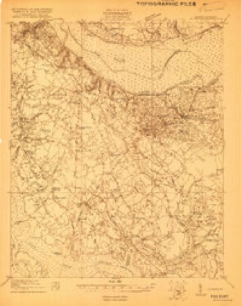
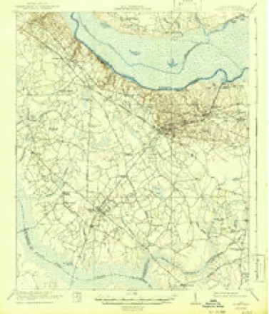
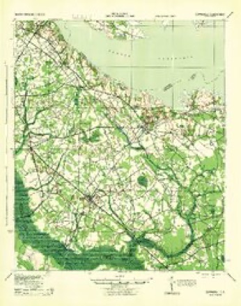
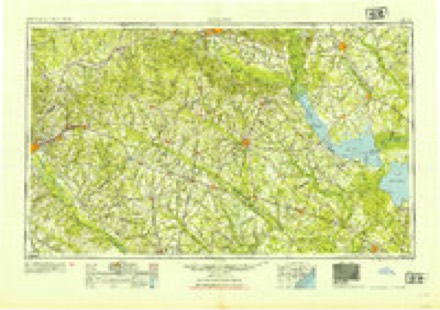
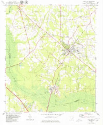
17 topographic sheets cover this place, the earliest surveyed in 1920 and the latest in 1990. It stands in the Holly Hill census division. It lies in ZIP code area 29059. It stands on Home Branch. The Survey maps it on the Holly Hill quadrangle.
Topographic sheets covering this place
11 surveys from 17 printed sheetsMatched by testing this settlement's coordinate against the published boundary of every sheet in the United States Geological Survey's historical collection. Each opens the scanned sheet at the Survey.
- 1920 USGS Eutawville quadrangle1:48000
- 1921 USGS Eutawville quadrangle1:62500, 3 printings
- 1943 USGS Eutawville quadrangle1:62500
- 1954 USGS Augusta quadrangle1:250000
- 1957 USGS Augusta quadrangle1:250000, 3 printings
- 1958 USGS Augusta quadrangle1:250000
- 1961 USGS Augusta quadrangle1:250000, 2 printings
- 1962 USGS Augusta quadrangle1:250000
- 1979 USGS Holly Hill quadrangle1:24000, 2 printings
- 1985 USGS Saint George quadrangle1:100000
- 1990 USGS Saint George quadrangle1:100000
Fires near this place
345 since 1992Regional context, not property-specific evidence. The federal wildfire occurrence database lists 345 fires within 5 miles of Four Holes between 1992 and 2020, burning about 2,121 acres in total. 3 started naturally. 61 were recorded as arson. Distance is straight-line from the map coordinates, so a fire counted here may appear on a neighbouring settlement's page as well.
| Reported cause | Fires |
|---|---|
| Debris and open burning | 122 |
| Missing data/not specified/undetermined | 113 |
| Arson/incendiarism | 61 |
| Smoking | 21 |
| Equipment and vehicle use | 12 |
| Misuse of fire by a minor | 9 |
| Natural | 3 |
| Power generation/transmission/distribution | 2 |
| Other causes | 2 |
The most recent of them, most recent first, with the day each was reported and the service that recorded it.
| Date | Cause | Size | Reported by | Name on the report |
|---|---|---|---|---|
| 9 September 1997 | Missing data/not specified/undetermined | 4.0 acres | South Carolina Forestry Commission | not named |
| 8 September 2018 | Debris and open burning | 2.0 acres | South Carolina Forestry Commission | not named |
| 8 September 2009 | Arson/incendiarism | 1.0 acres | South Carolina Forestry Commission | not named |
| 7 September 1997 | Debris and open burning | 1.0 acres | South Carolina Forestry Commission | not named |
| 18 September 1999 | Debris and open burning | under an acre | South Carolina Forestry Commission | not named |
| 10 September 2007 | Debris and open burning | 4.0 acres | South Carolina Forestry Commission | not named |
| 1 September 2018 | Debris and open burning | 1.0 acres | South Carolina Forestry Commission | not named |
| 1 September 1993 | Missing data/not specified/undetermined | 1.0 acres | South Carolina Forestry Commission | not named |
Settlements close enough to share some of these fires:
Mines and quarries near this place
10 within 5 milesRegional context, not property-specific evidence. The federal mineral resources record lists 10 workings within 5 miles of Four Holes: 6 producers, 4 unknowns. 6 still produce. What was taken out: Limestone, General, Clay, Cement Rock, Clay, Cement Rock. Distance is straight-line from the map coordinates, so a quarry counted here may appear on a neighbouring settlement's page as well.
| Where | Site | Commodity | Status | Recorded |
|---|---|---|---|---|
| Giant Portland Marl Pit(Harleyville Mine) | Clay, Cement Rock | Producer | Sedimentary | |
| Gifford Hill Marl Pit(Harleyville Quarry) | Limestone, General, Cement Rock | Producer | Sedimentary | |
| Holly Hill Quarry & Cement Plant | Stone | Producer | ||
| Santee Portland Limestone Quarry | Cement Rock | Producer | Sedimentary | |
| Giant Clay Pit | Clay | Unknown | Sedimentary | |
| Holly Hill Mine | Clay | Unknown | Sedimentary | |
| Harleyville Quarry | Limestone, General | Unknown | Sedimentary | |
| Harleyville Quarry & Cement Plant | Limestone, General | Producer | ||
| Harleyville Quarry & Cement Plant | Limestone, General | Producer | ||
| Holly Hill Quarry | Limestone, General | Unknown | Sedimentary |
Storms near this place
18 since 2012Regional context, not property-specific evidence. The National Weather Service names Four Holes in 18 storm reports between 2012 and 2025: 9 thunderstorm wind, 5 hail, 2 tornado, 1 funnel cloud. No death or injury is recorded in these reports. Each account below is quoted exactly as the forecast office filed it, from the NOAA Storm Events Database, and each date opens the federal record of that event.
| When | Event | Place named | Harm | What the report says |
|---|---|---|---|---|
| April 2013 | Thunderstorm Wind | Four Holes | $4,000 | Highway Patrol reported trees down along I-26 near MM 156. |
| July 2012 | Thunderstorm Wind | South Four Holes | $3,000 | Highway Patrol reported trees dwon on Hwy 453 between Holly Hill and I-26. |
| June 2015 | Thunderstorm Wind | Four Holes | $1,000 | SKYWARN spotter reported a couple of trees down. |
| May 2017 | Hail | South Four Holes | $100 | Public reported dime size hail at the cement plant along Hwy 453 (Gardner Blvd). |
| April 2017 | Flash Flood | Four Holes | $100 | Roadway flooding on Interstate 26 at mile marker 154. Flooding also along Five Chop Rd. |
| May 2025 | Hail | Four Holes | - | EM relayed a quarter sized hail report near Grambling Road and Sleepy Hollow Road. |
| August 2023 | Thunderstorm Wind | Four Holes | - | Orangeburg County Dispatch reported trees down at the intersection of Four Holes Road and Wild Hearts Road. |
| March 2022 | Hail | Four Holes | - | Public reported hail up to quarter size near the Four Holes FD near Gramling Rd and Till Rd. |
| June 2022 | Thunderstorm Wind | Four Holes | - | Trees down on Hwy 33 at Whisperwood Rd. Time estimated. |
| June 2020 | Thunderstorm Wind | Four Holes | - | SCHP reported trees down along Interstate 26 eastbound at mile marker 152. |
| June 2020 | Thunderstorm Wind | Four Holes | - | Trees down on Five Chop Rd and Big Buck Blvd. Time estimated. |
| April 2019 | Tornado (EF1) | Four Holes | - | An EF-1 tornado touched down in Orangeburg Co SC around 1401 EDT (1301 EST) near the intersection of Old Elloree Rd and Odell Dr. The tornado then moved quickly to the north-northeast for nearly 8 miles, crossing Cloverdale Lane, Gramling Rd, Interstate 26, Glenzell Rd, Cameron Rd, Shulmer Rd, and finally Mount Carmel Rd. The tornado then moved into Calhoun Co SC around 1407 EDT (1307 EST) near Church Camp Rd and Moorer Rd. The tornado continued to the NNE crossing Belleville Rd and then lifted around 1409 EDT (1309 EST) before reaching US Hwy 176. ||The tornado did considerable damage, snapping and uprooting a large number of hardwood and softwood trees along its path. Trees fell onto several mobile homes, destroying at least 2 of them. At least one home had shingles removed from the roof. An agricultural center pivot irrigation system was also knocked over off of Mount Carmel Rd. |
| August 2019 | Thunderstorm Wind | Four Holes | - | Tree down at Till Rd and Four Holes Rd. Time estimated. |
| May 2017 | Tornado (EF1) | South Four Holes | - | An NWS Storm Survey Team confirmed that a tornado touched down on White Sands Road about 3 miles SSW of Holly Hill, South Carolina in Orangeburg County. The tornado traveled NE snapping hardwood and pine trees. Two trees fell on a mobile home located on Cocoa Circle about 2 miles SSW of Holly Hill. The two people in the mobile home at the time, a mother and her daughter, sought shelter in a room located near the end of the mobile home and were not injured. The local fire department |rescued the two residents that evening. In the same area, a tree fell onto three vehicles located on Caufield Court. Damage patterns showed a cross wind component typical of tornadic storms. The tornado continued NE into the town limits of Holly |Hill where it ripped the metal roof off of a section of a strip mall at the intersection of Old State Road and Pine Street. The tornado then lifted at approximately 906 PM. Damage surveyed was consistent with EF-1 damage with wind speeds no greater than 103 MPH. |
| July 2016 | Thunderstorm Wind | Four Holes | - | Tree down on I-26 at mile marker 154, eastbound lanes blocked. |
| June 2015 | Hail | Four Holes | - | SKYWARN spotter reported .75 inch hail. |
| May 2012 | Hail | Four Holes | - | EM repiorted nickel size hail near the intersection of Hwy 301 and Homestead road. |
| June 2012 | Funnel Cloud | Four Holes | - | Funnel Cloud reported by County Emergency Manager near the intersection of I-26 and Hwy. 301 southeast of the City of Orangeburg. |
Nearest settlements
The eight closest, with where each one stands in the county. Distances are straight-line, computed from the Geographic Names Information System coordinates.
| Map | Place | Distance | Sheets |
|---|---|---|---|
| Bowyer | 2.0 miles | 17 | |
| Holly Hill | 3.2 miles | 17 | |
| Connors (historical) | 5.7 miles | 17 | |
| Tugtown | 5.8 miles | 16 | |
| Wells | 6.9 miles | 17 | |
| Possum Town | 8.9 miles | 17 | |
| Green Town | 9.1 miles | 17 | |
| Whetsell | 9.2 miles | 18 |
Elsewhere
Matched on this settlement's Geographic Names Information System number rather than its name, so it cannot be a different place of the same name in another state.
| Wikidata item Q122558554 | The structured record the population and elevation above come from. Public domain (CC0). |
Provenance
This settlement is recorded in the Geographic Names Information System as feature 1247815. The sheet list is computed by point-in-boundary test against the United States Geological Survey's historical topographic inventory. Both are works of the United States government and carry no copyright under 17 U.S.C. 105.
Wildfire. Short, Karen C. 2022. Spatial wildfire occurrence data for the United States, 1992-2020 [FPA_FOD_20221014]. 6th Edition. Fort Collins, CO: Forest Service Research Data Archive. https://doi.org/10.2737/RDS-2013-0009.6 Collected with United States Government funding and usable without additional permissions or fees.
Mines and quarries. USGS Mineral Resources Data System (MRDS) https://mrdata.usgs.gov/mrds/ A work of the United States government, no copyright under 17 U.S.C. 105.
Storms. NOAA National Centers for Environmental Information, Storm Events Database https://www.ncei.noaa.gov/stormevents/ A work of the United States government, no copyright under 17 U.S.C. 105. Narratives are quoted verbatim from the National Weather Service report and are not edited or summarised.