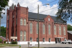
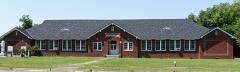
Block
From the record
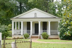
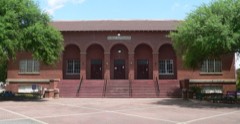
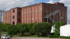
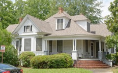
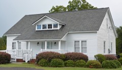
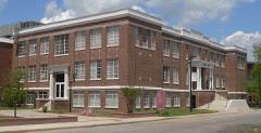
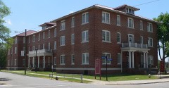
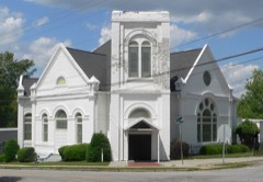
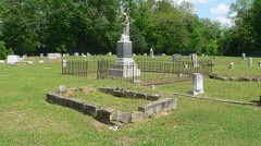
42 National Register listings published here.
Sources: the county history on the Internet Archive · the National Register database, National Park Service
81 topographic sheets and 10 fire insurance atlases across 1 place.
42 National Register listings published here.
Sources: the county history on the Internet Archive · the National Register database, National Park Service
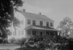
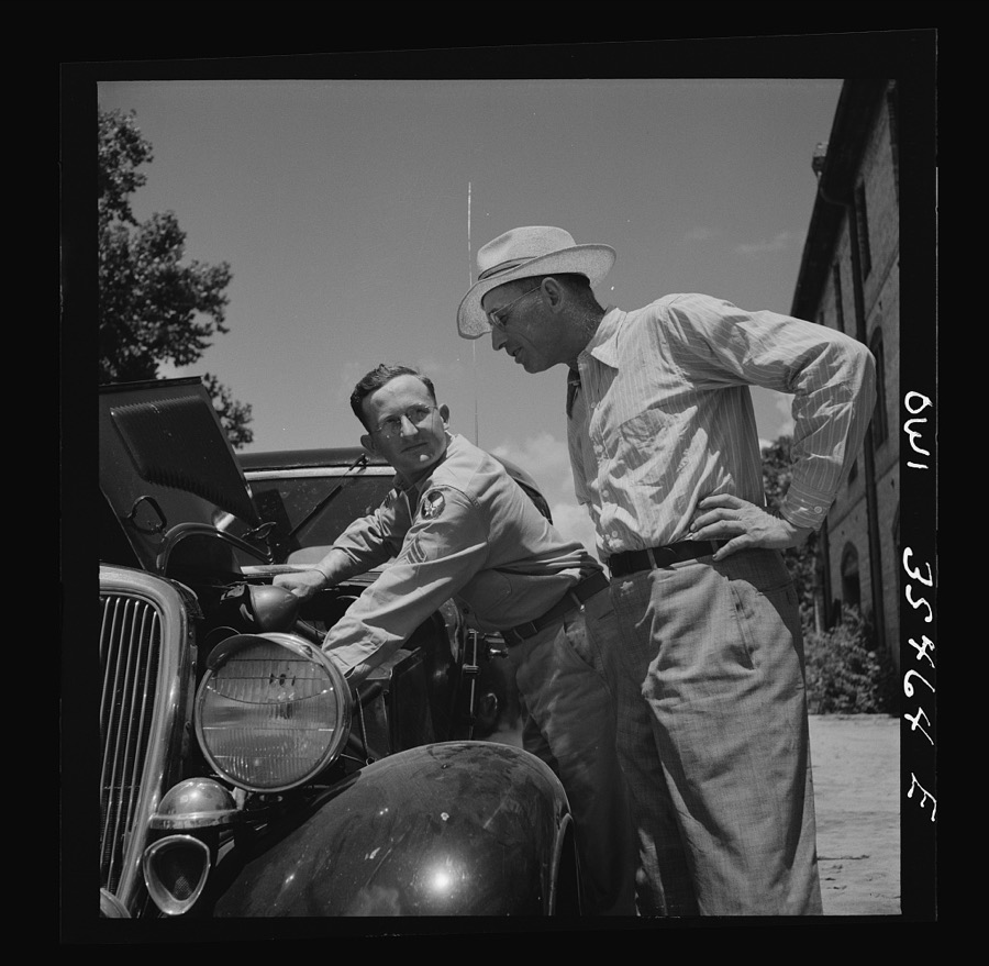
Taken for the Office of War Information and the Farm Security Administration, who photographed the country between 1935 and 1944. Works of United States government photographers, with no known restriction on use. Each opens its catalogue record.
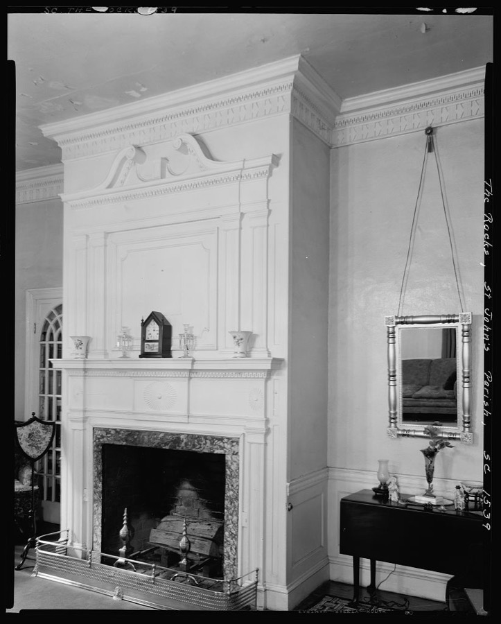
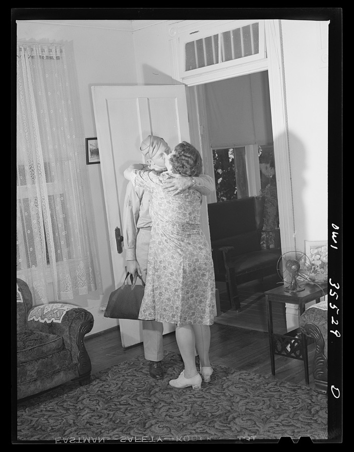
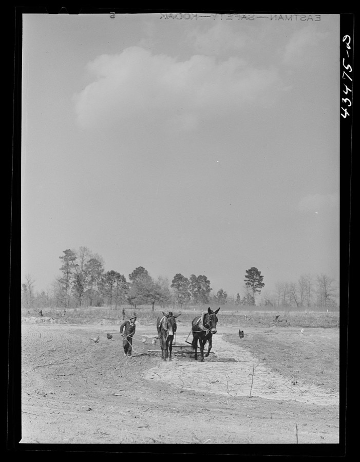
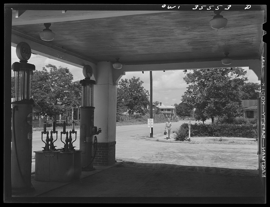
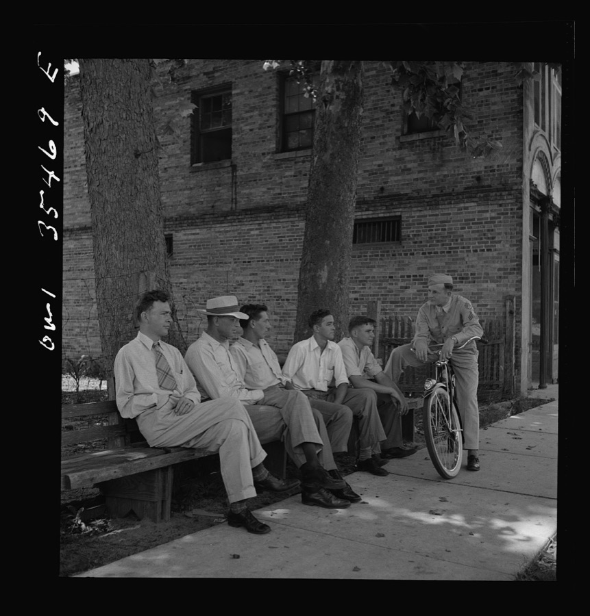
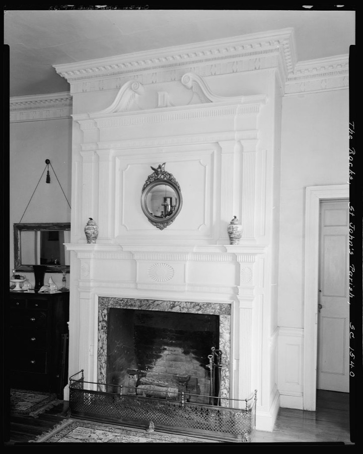
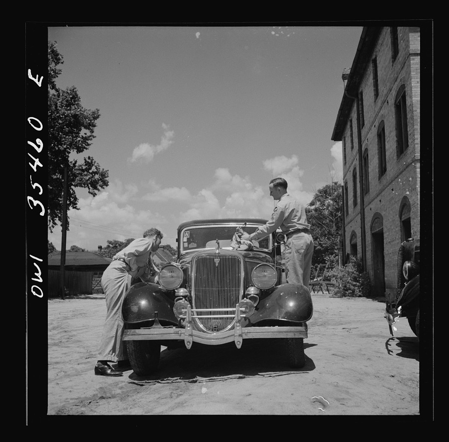
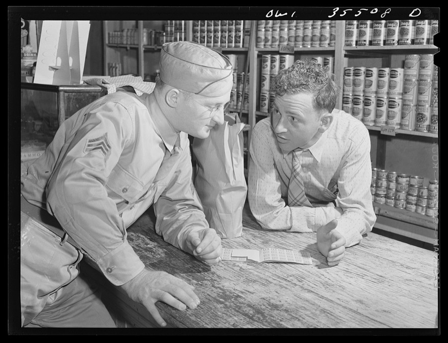
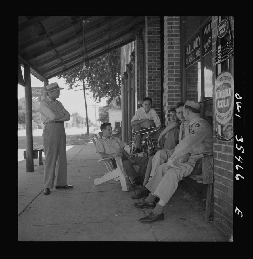
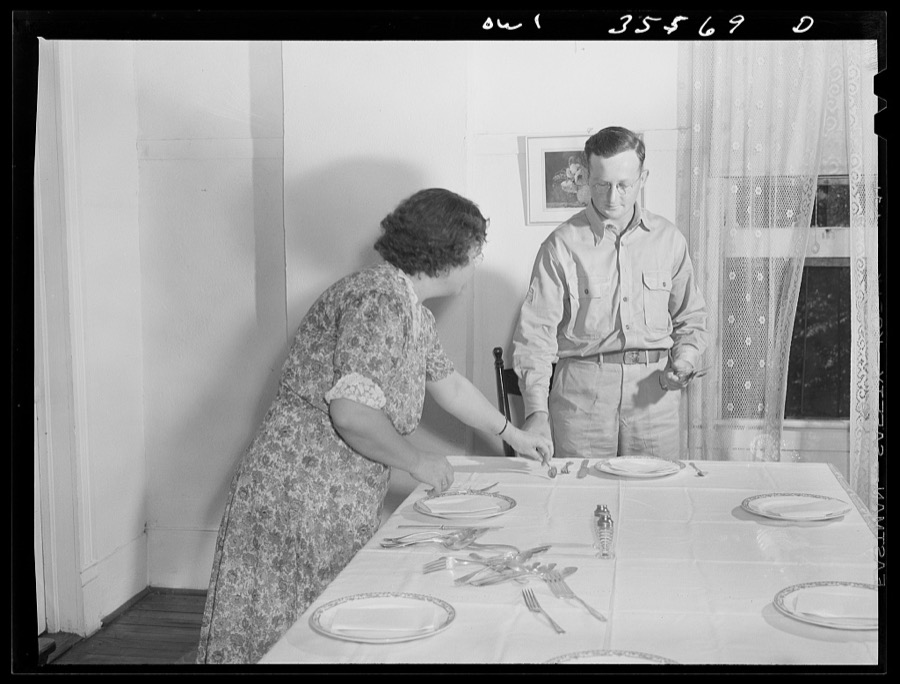
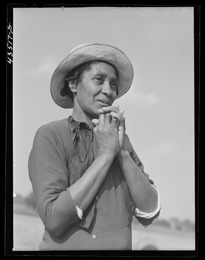
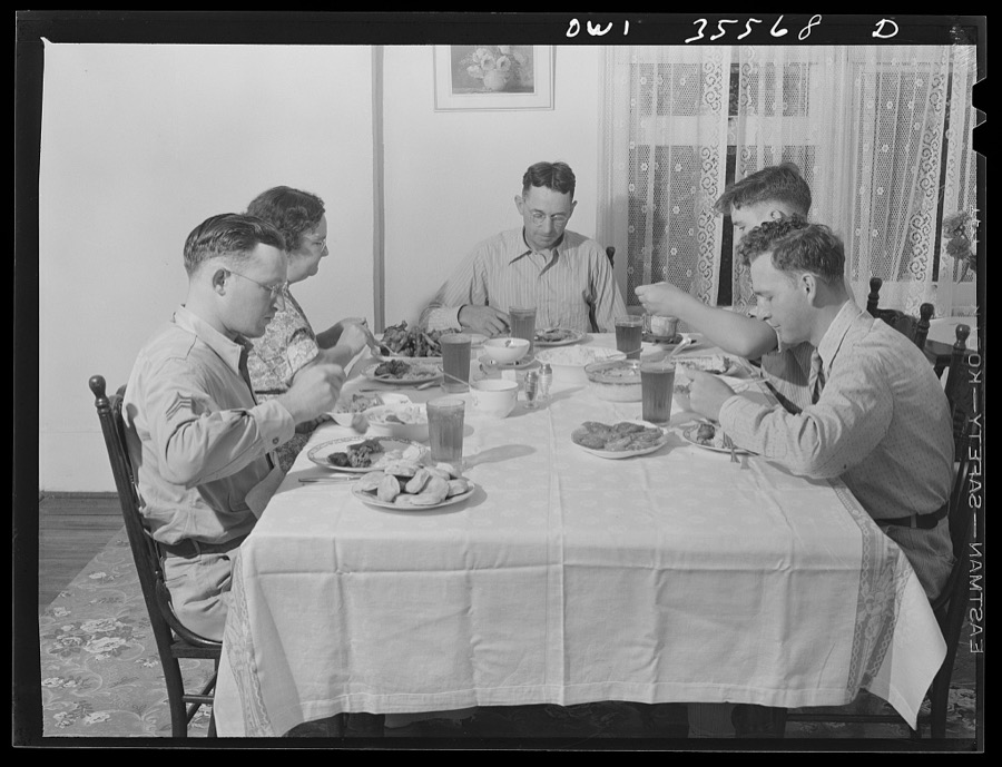
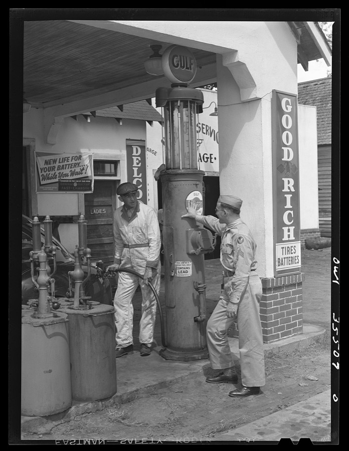
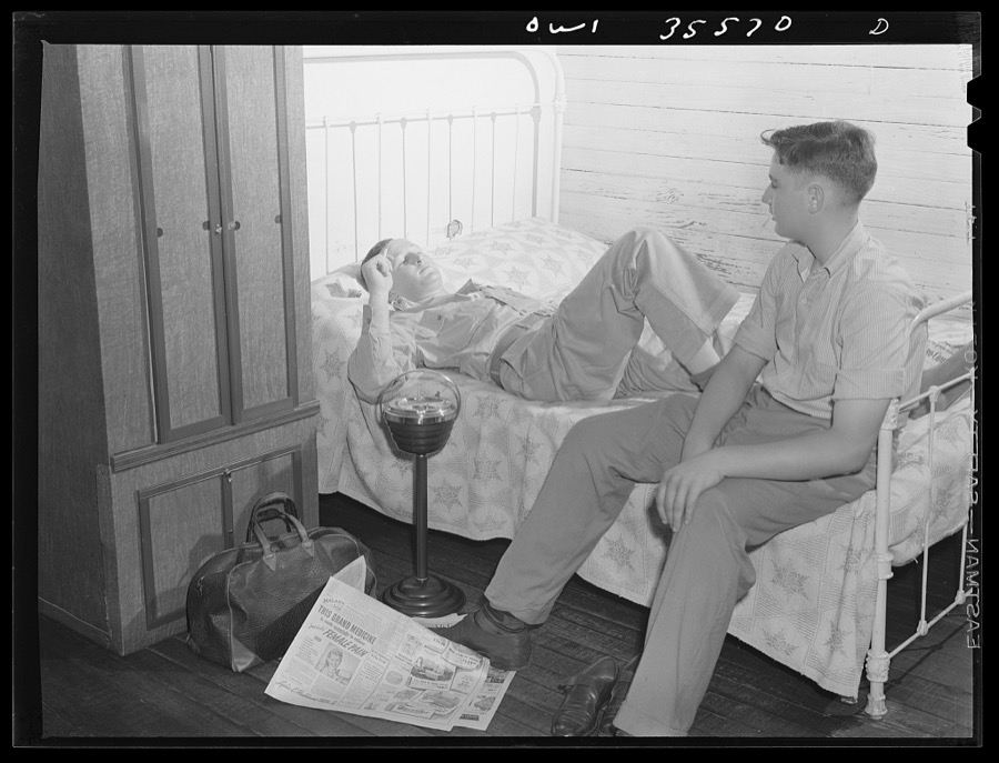
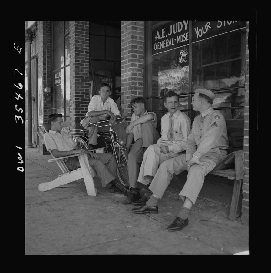
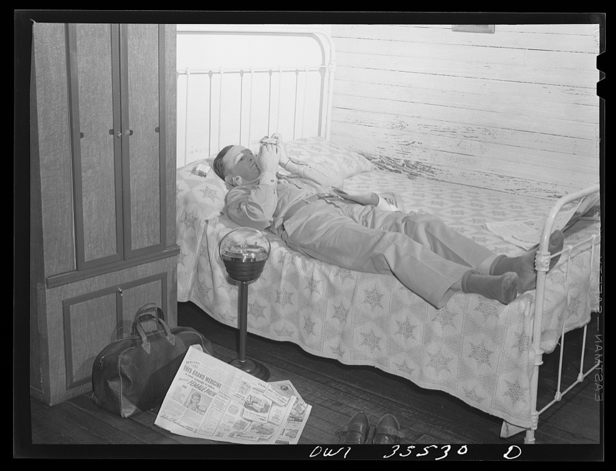
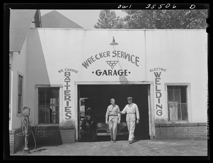
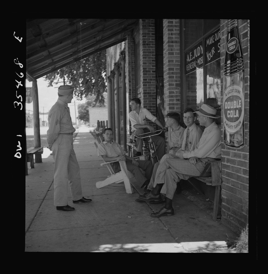
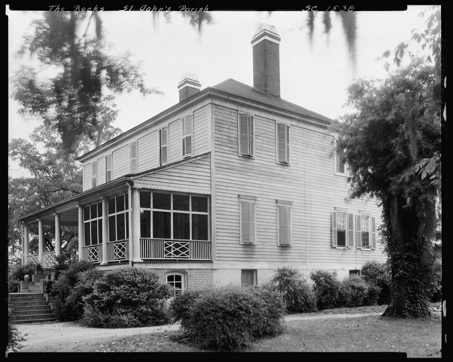
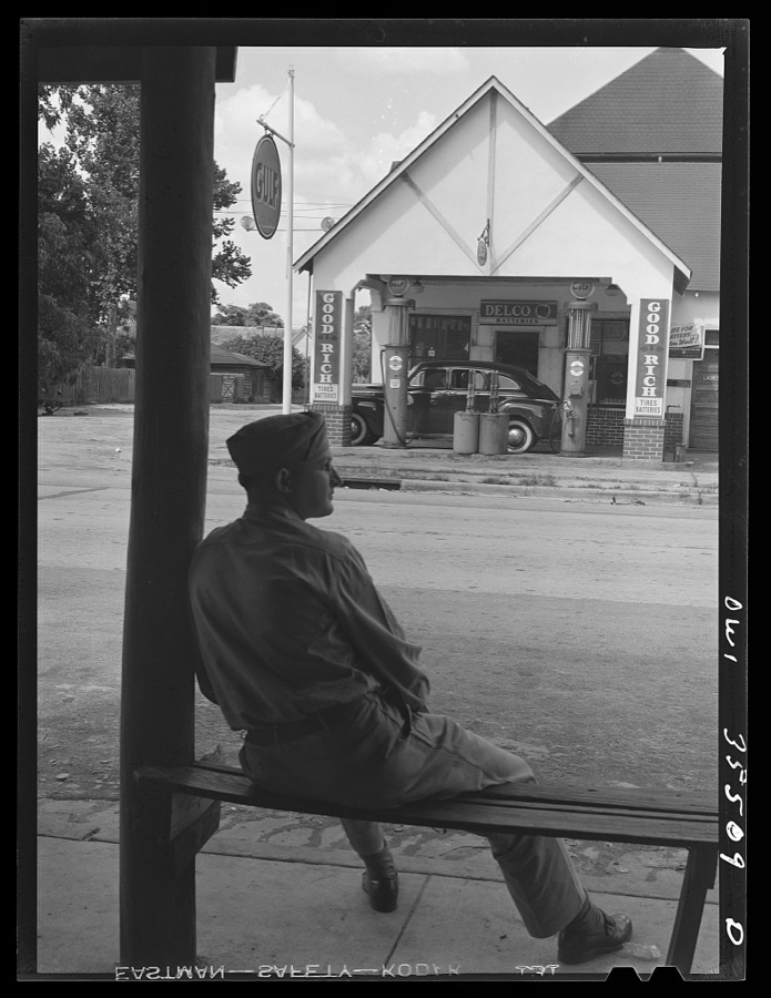
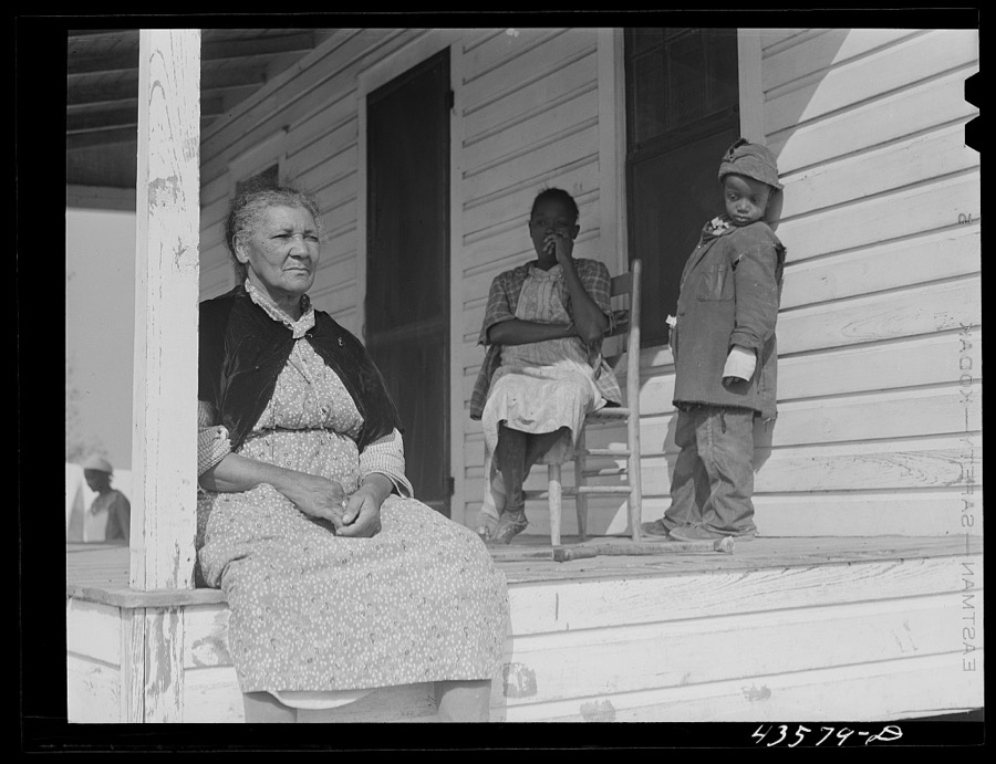
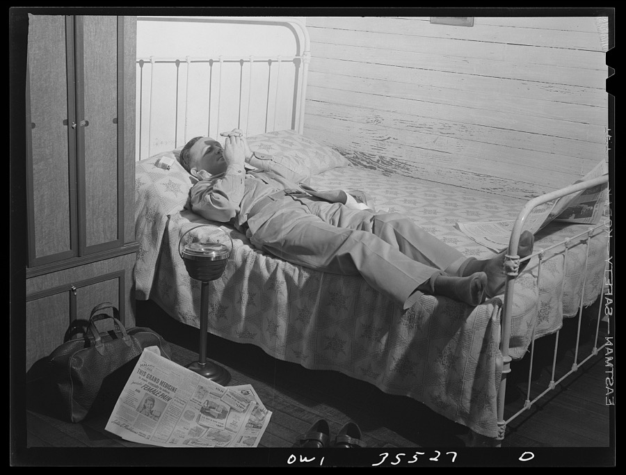
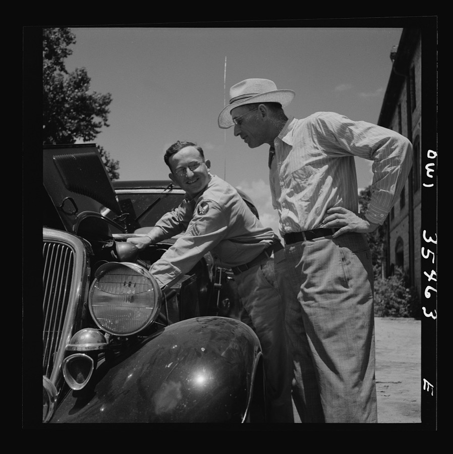
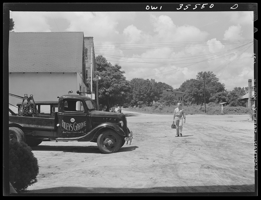
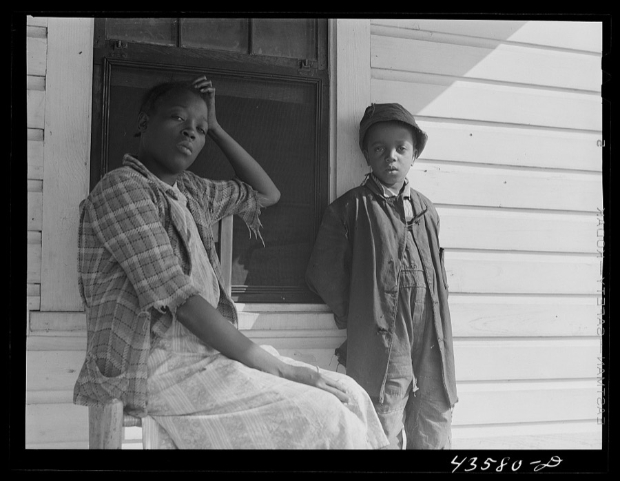
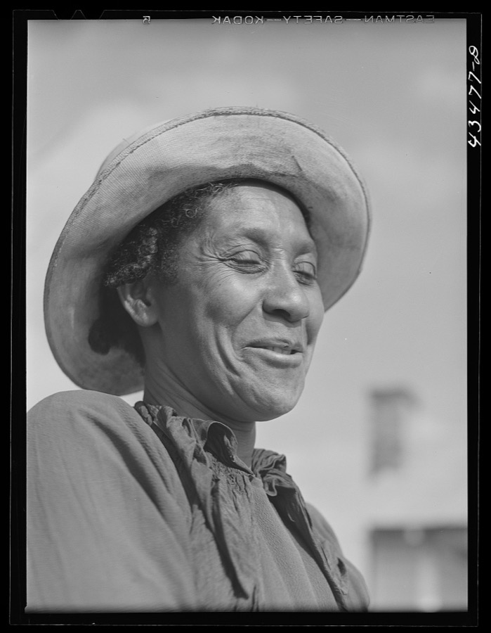
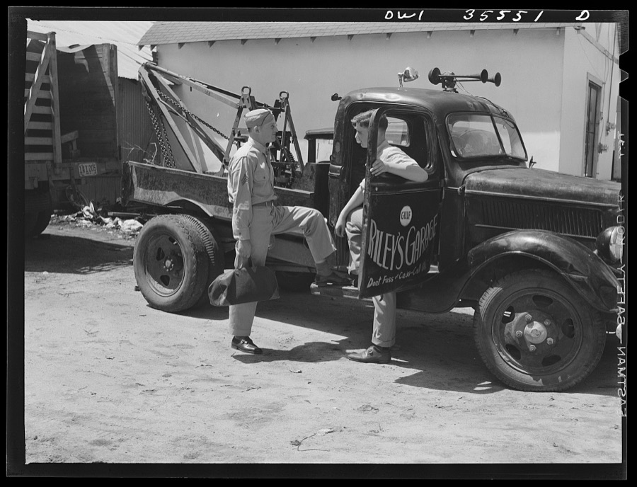
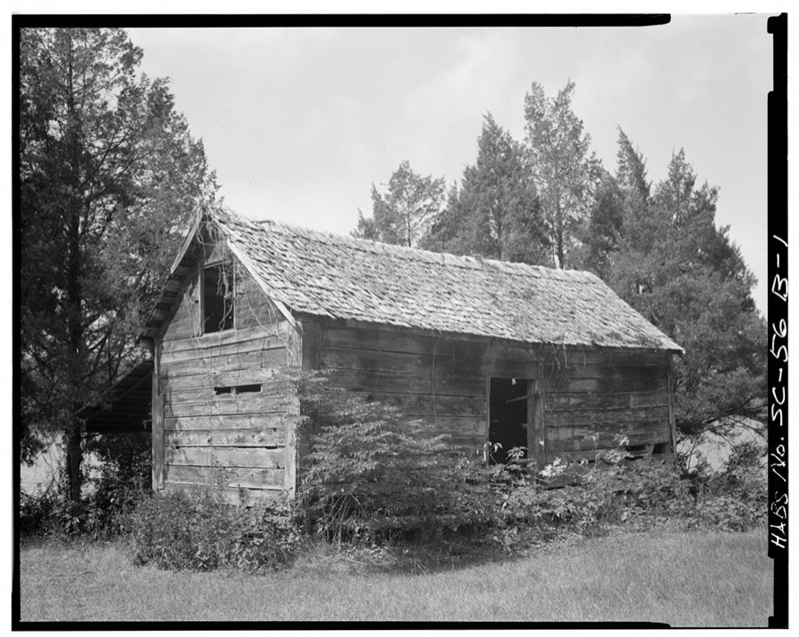
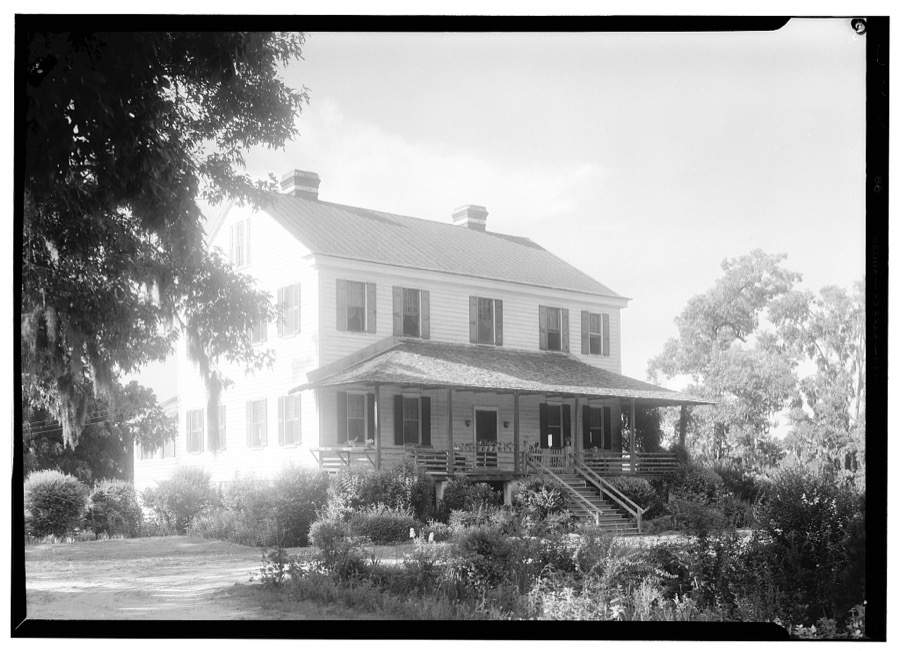
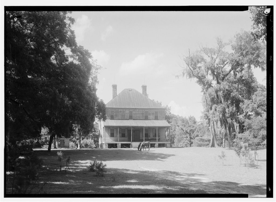
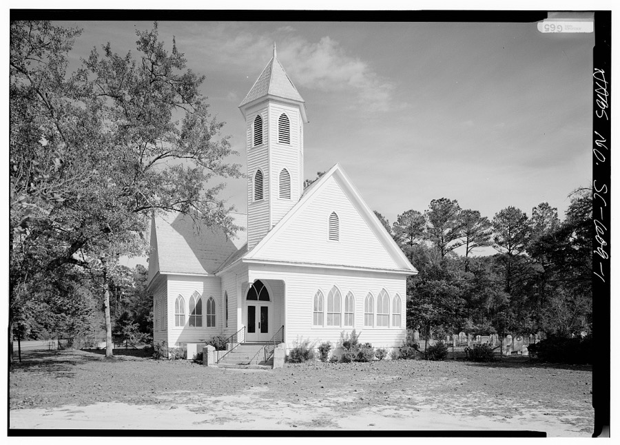
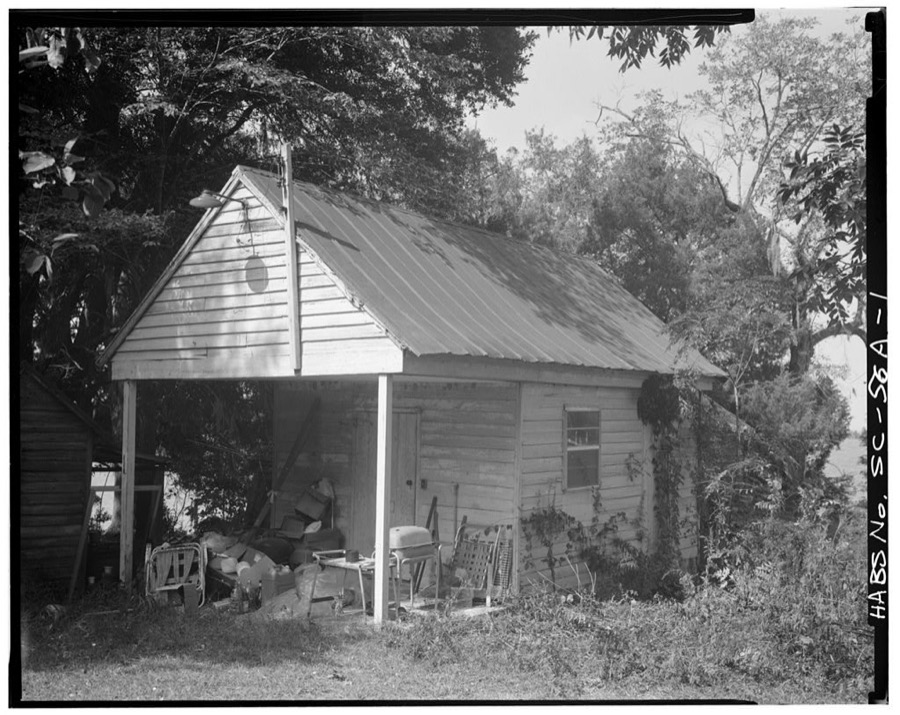
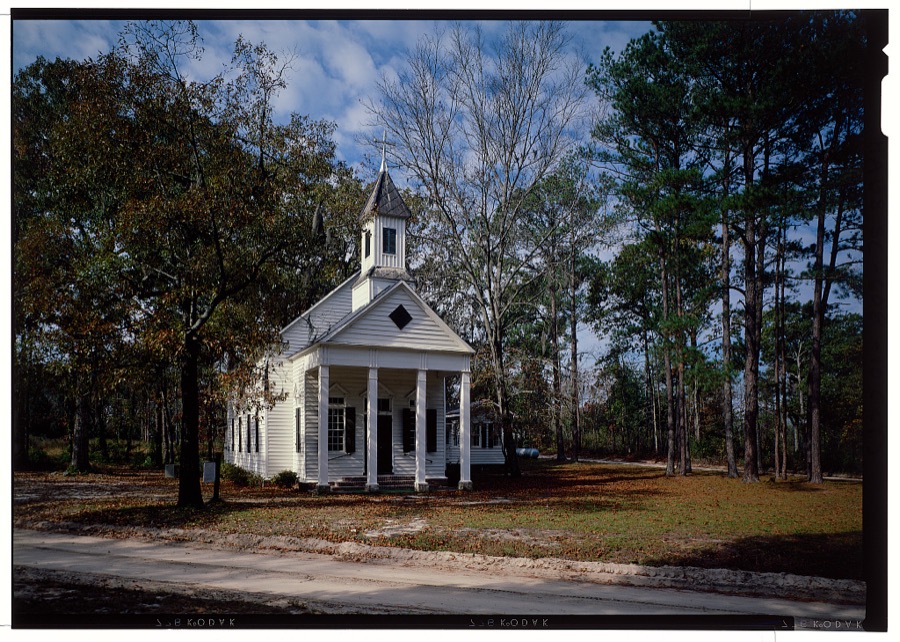
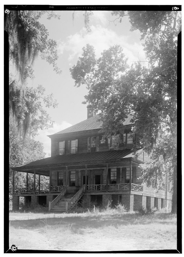
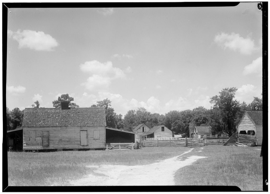
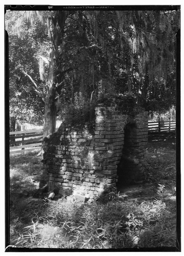
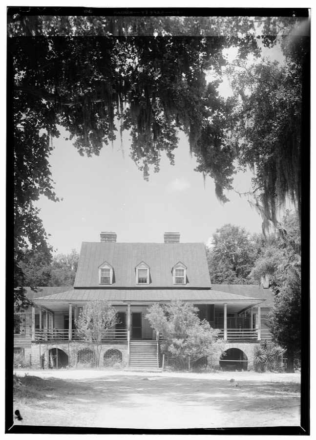
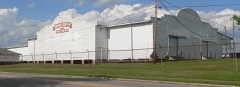
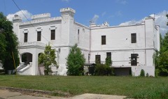
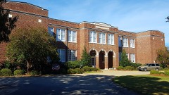
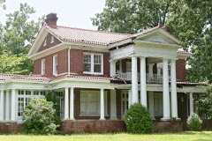
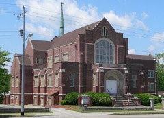
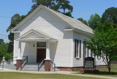
Every property in this county listed on the National Register of Historic Places, with the year it was listed and the federal nomination document.
Sampled issues, machine-read from the Library of Congress scan and published page by page, so every headline and column is searchable text.
Orangeburg, S.C., 1867 to 1875. Machine-read from the Library of Congress scan.
Orangeburg, S.C., 1875 to 1877. Machine-read from the Library of Congress scan.
Orangeburg, S.C., 1881 to Current. Machine-read from the Library of Congress scan.
Orangeburg, S.C., 1874 to 1876. Machine-read from the Library of Congress scan.
Orangeburg, S.C., 1872 to 1875. Machine-read from the Library of Congress scan.
Orangeburg, S.C., 1879 to 1881. Machine-read from the Library of Congress scan.
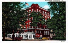
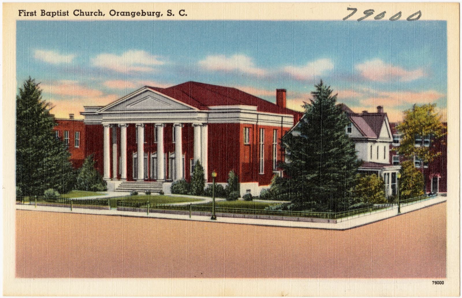
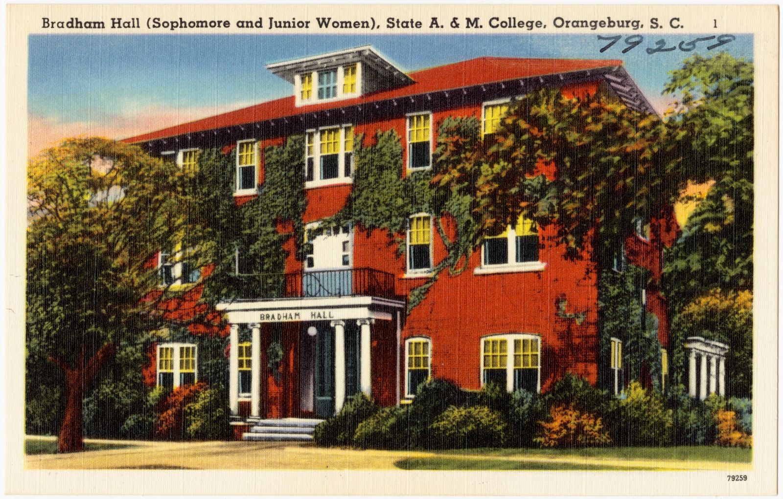
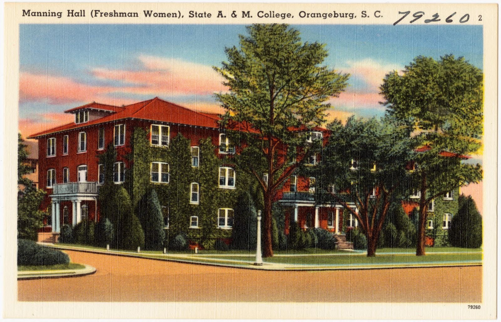
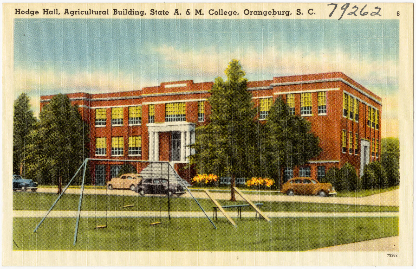
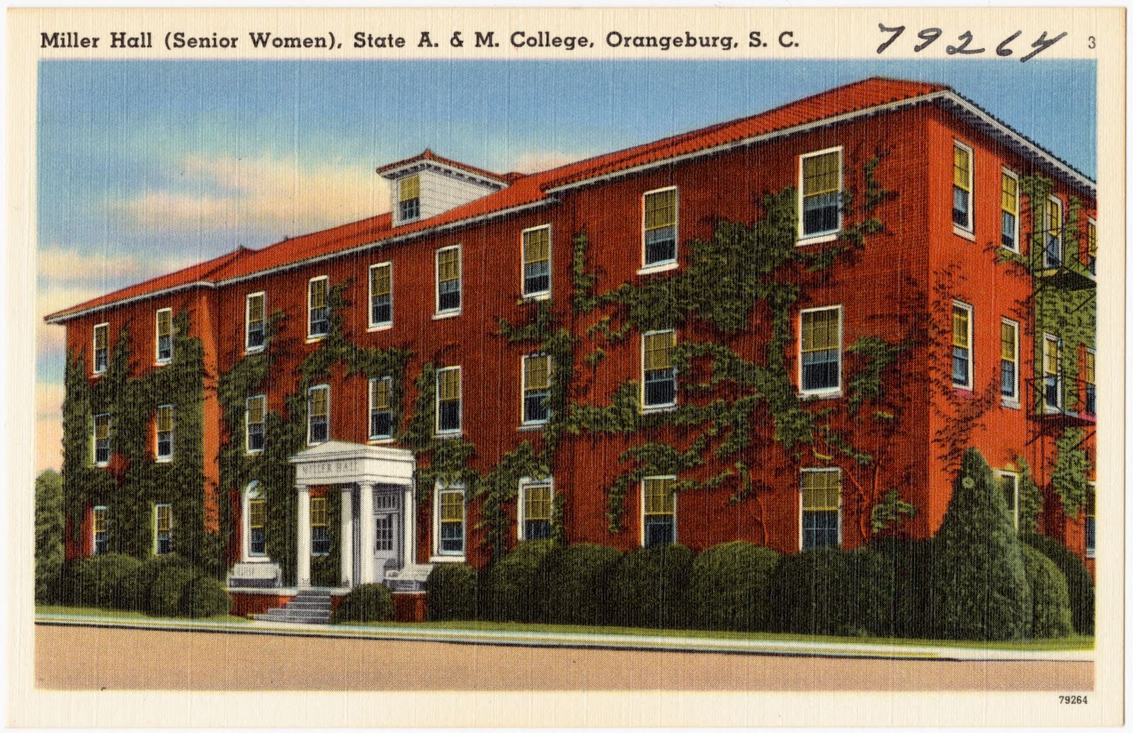
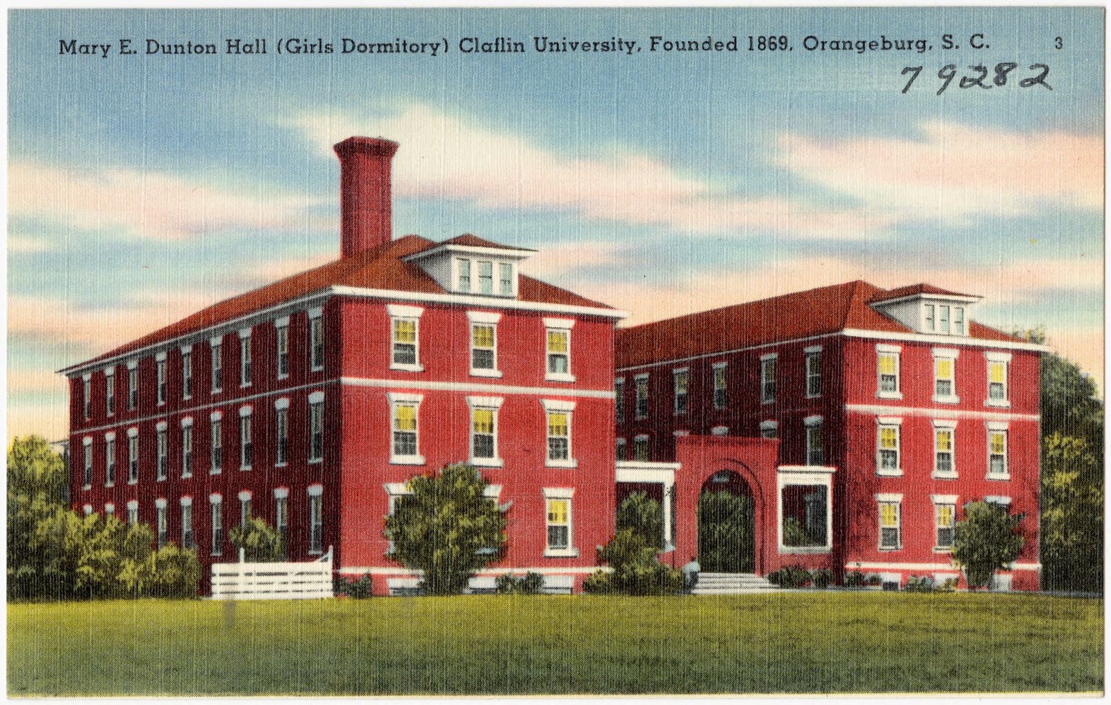
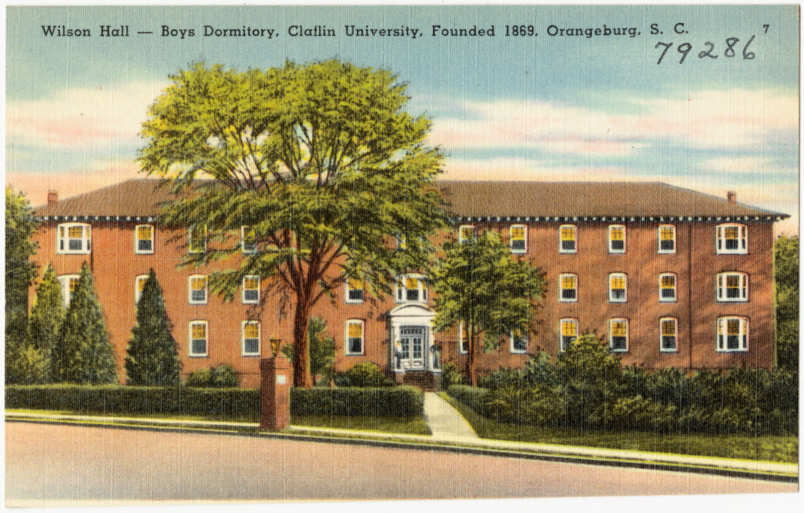
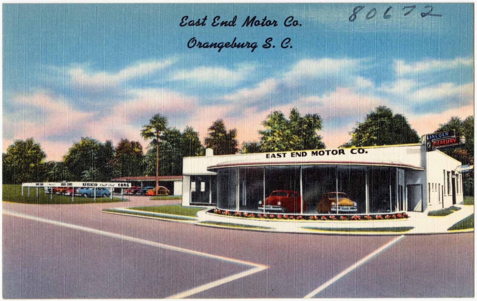
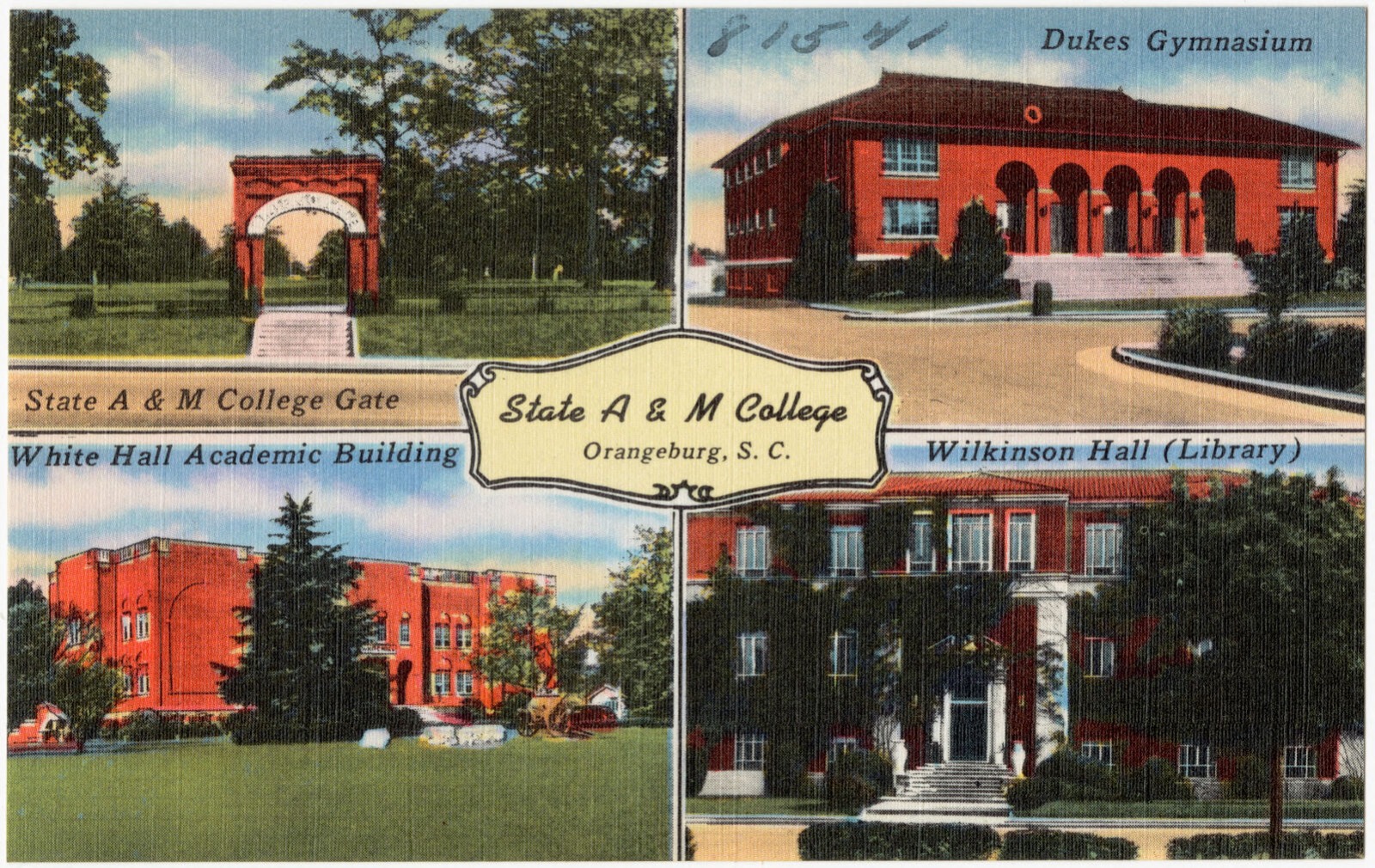
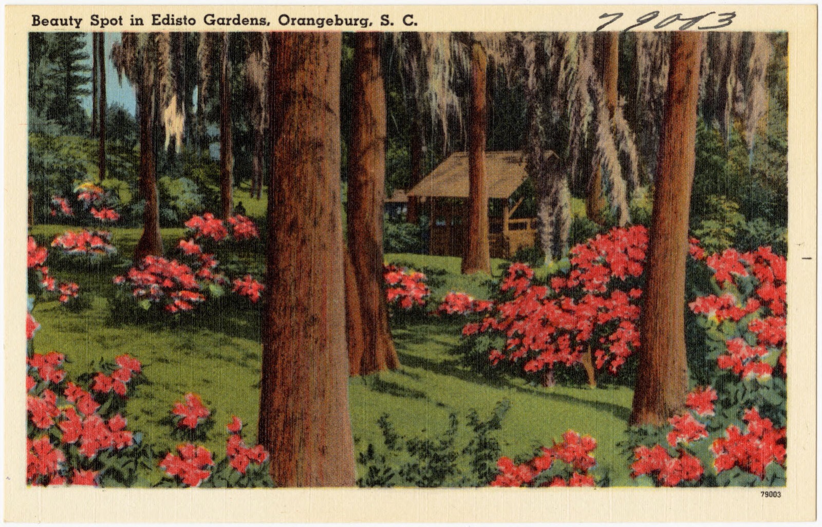
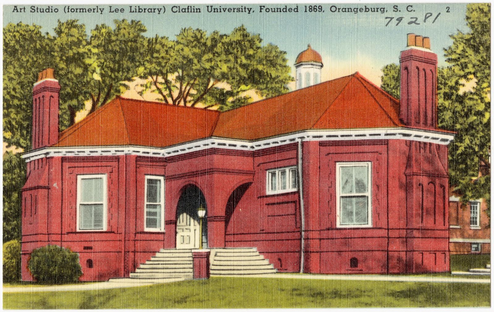
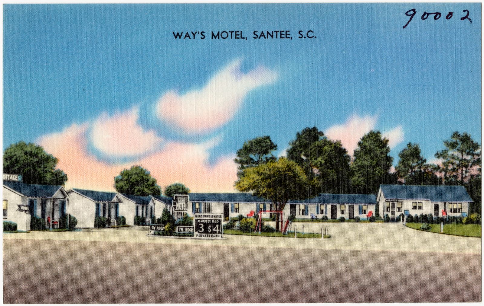
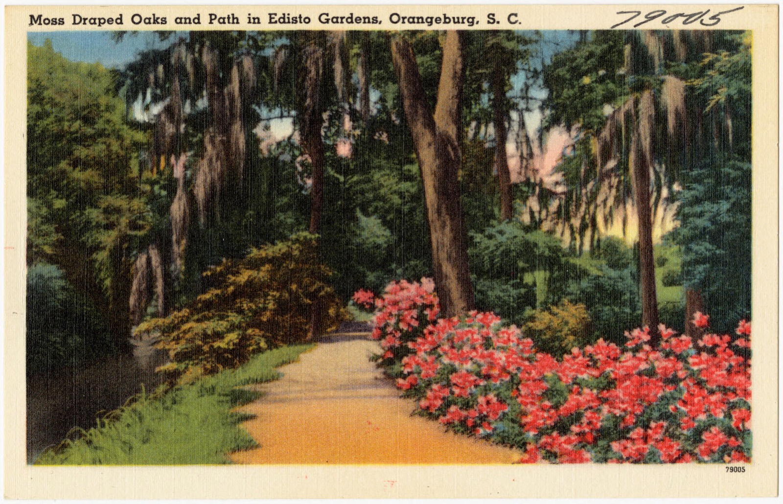
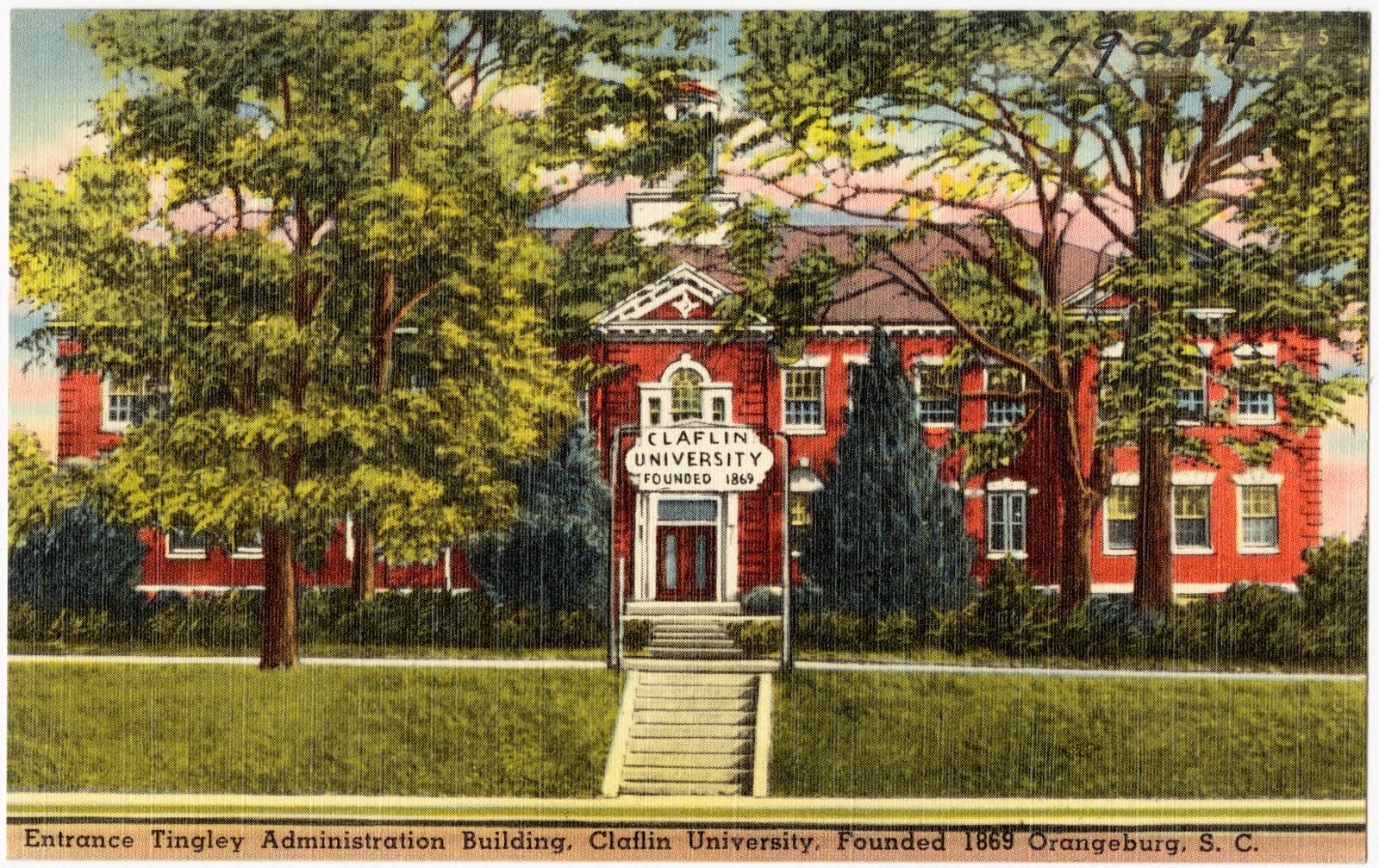
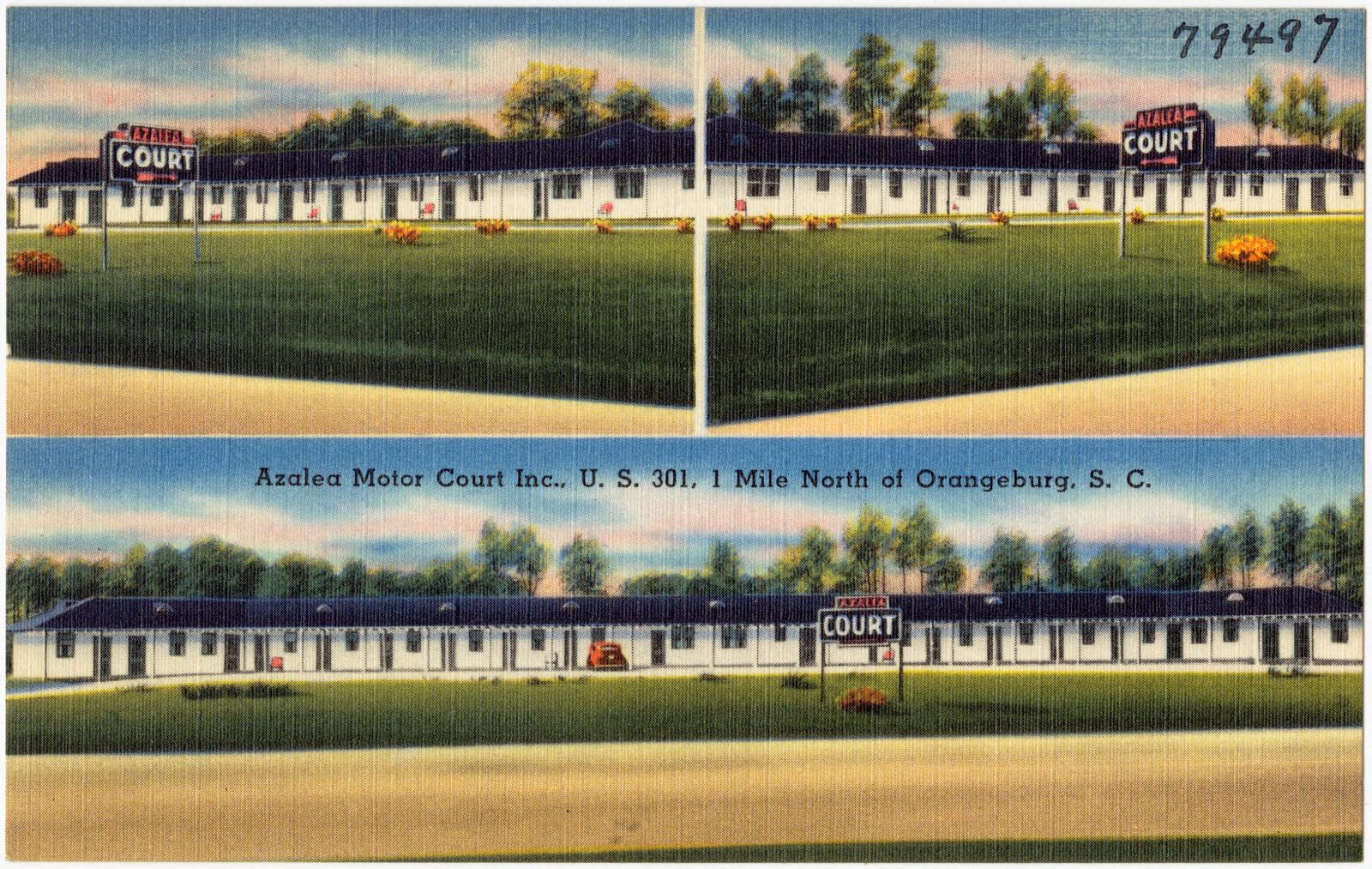
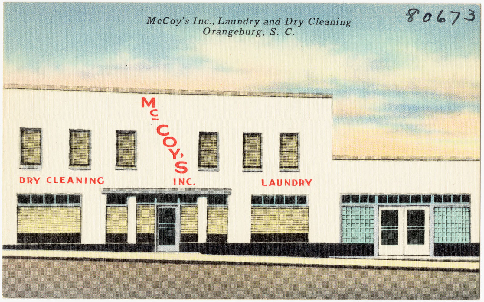
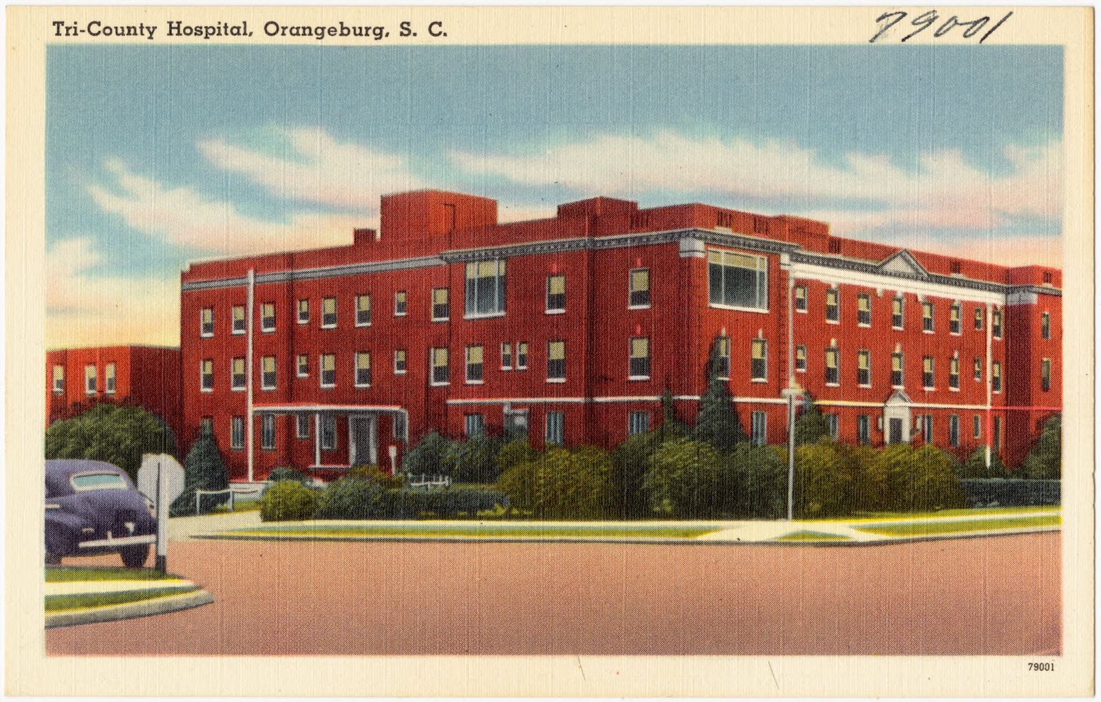
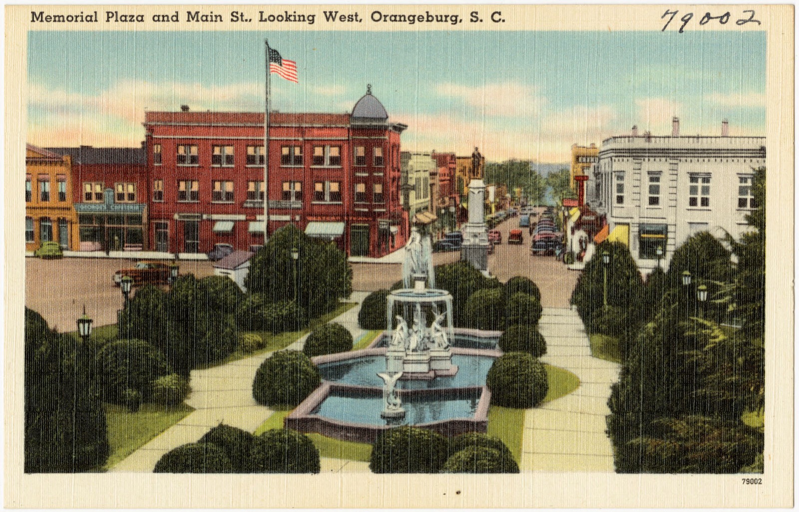
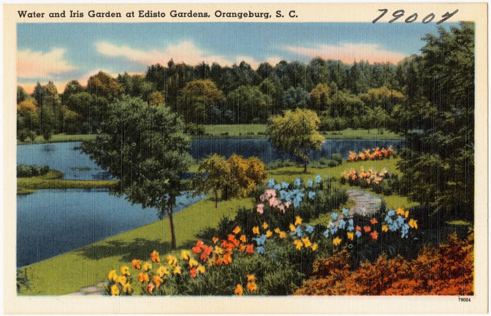
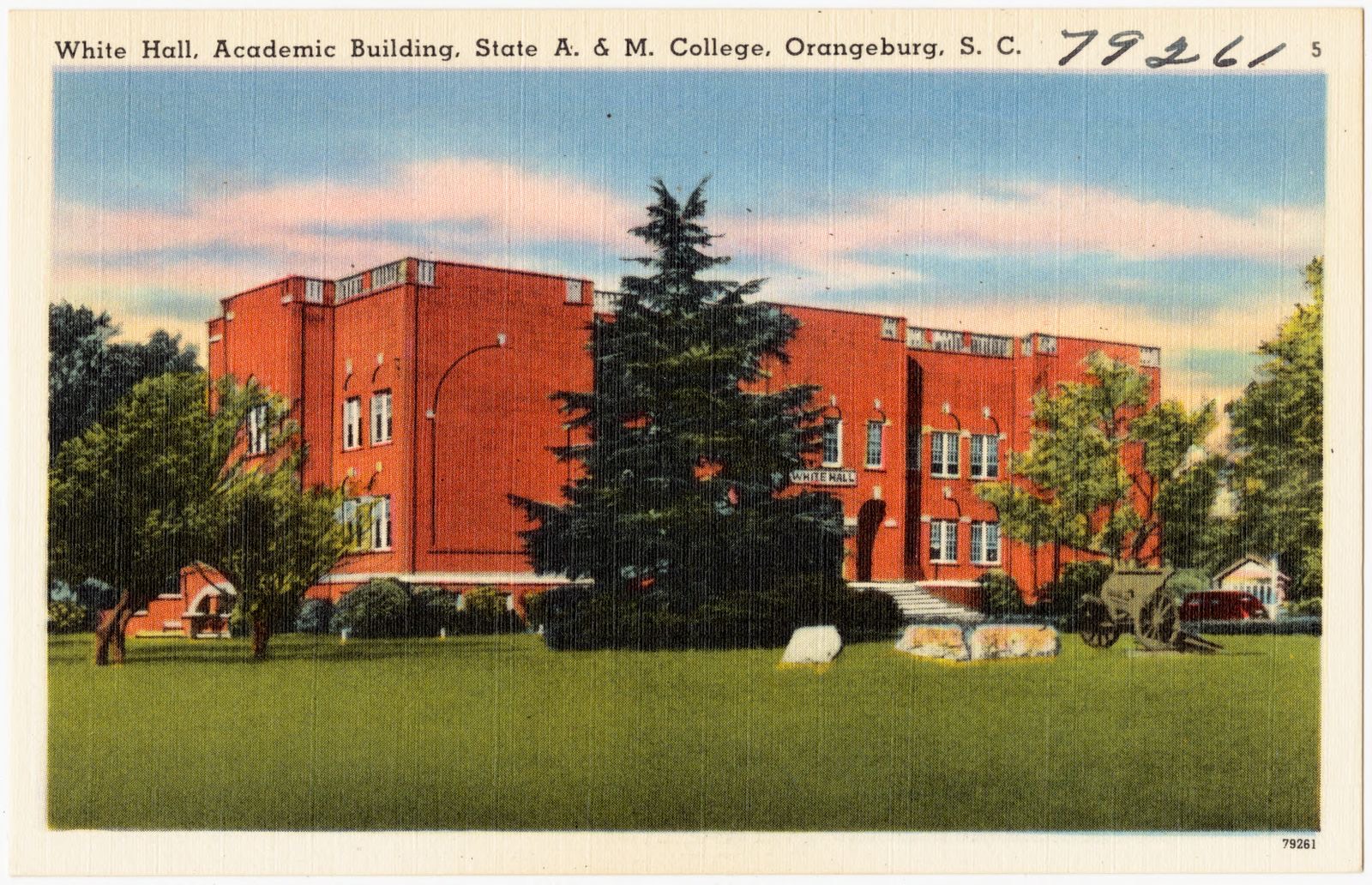
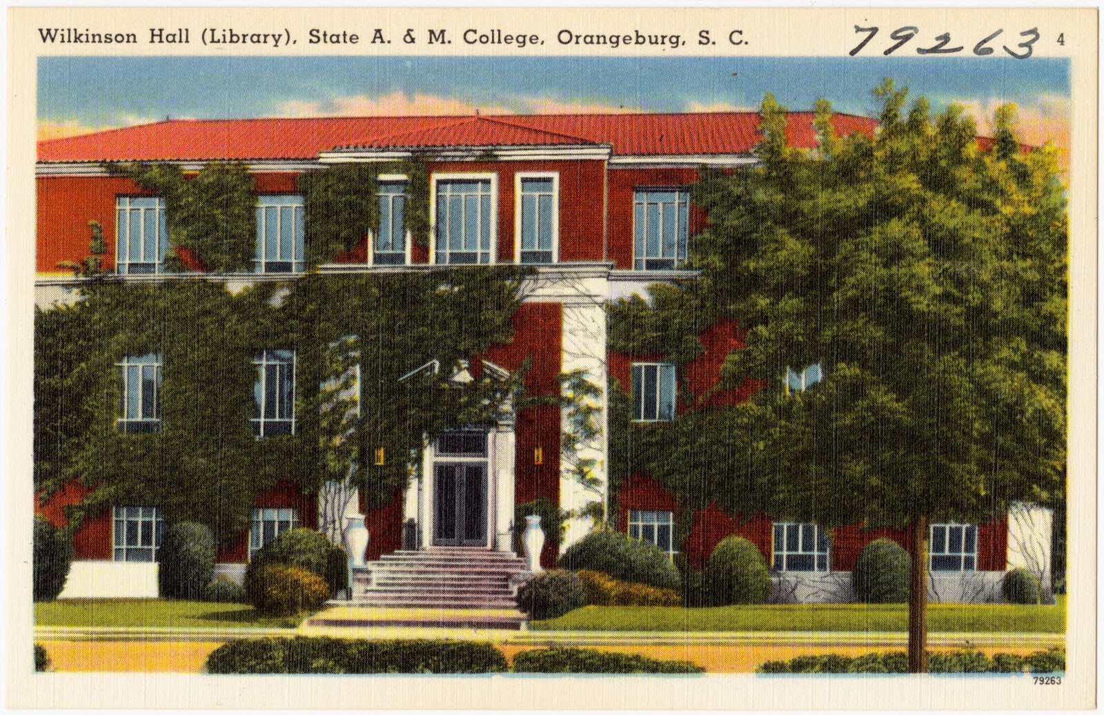
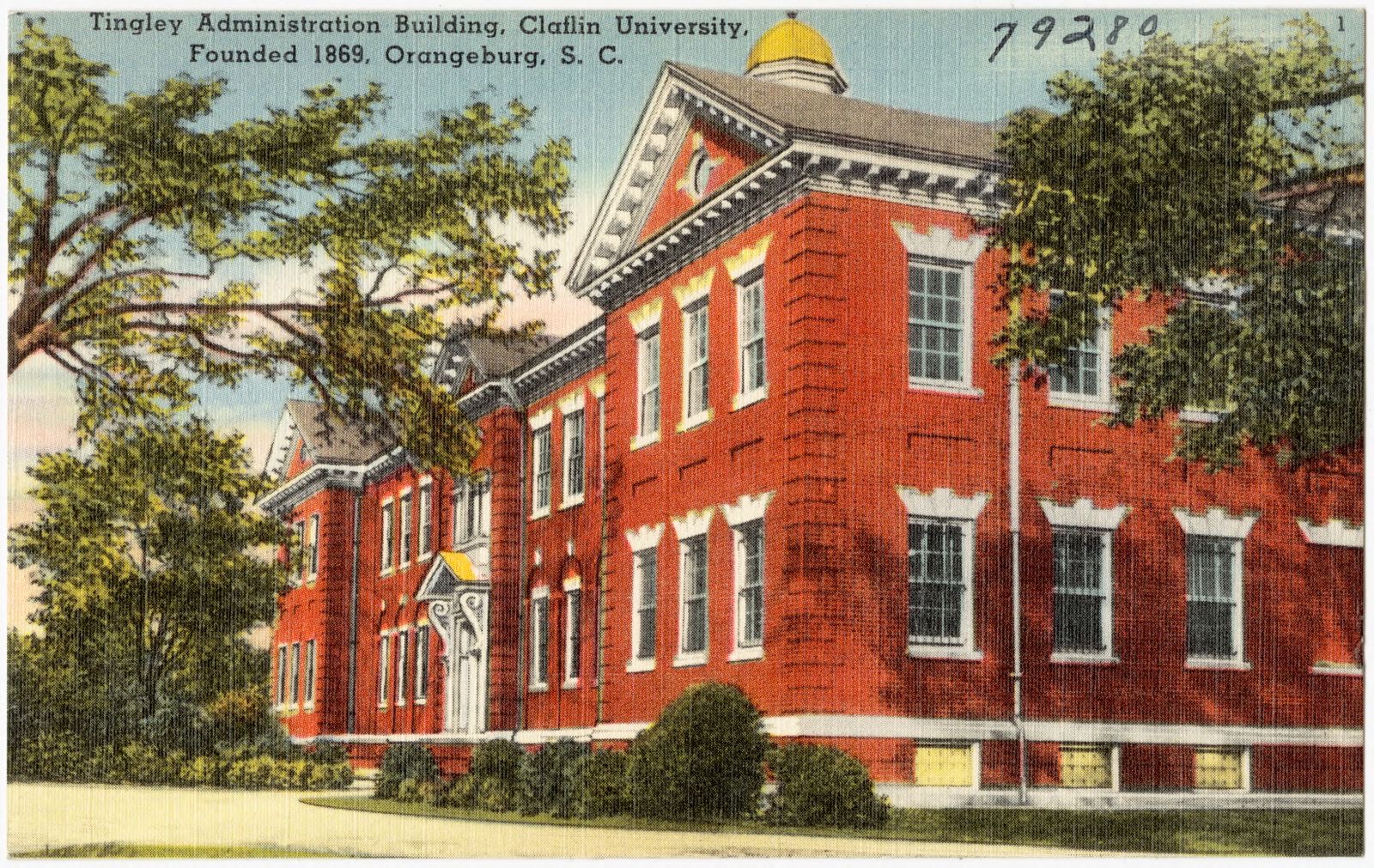
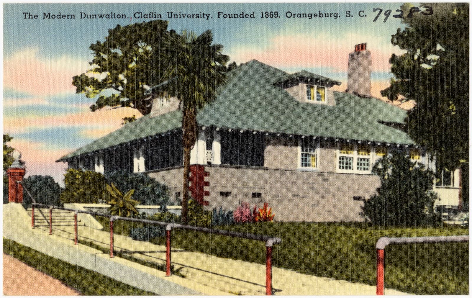
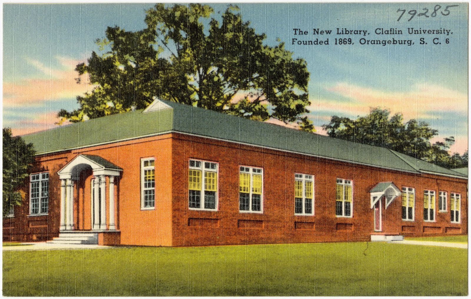
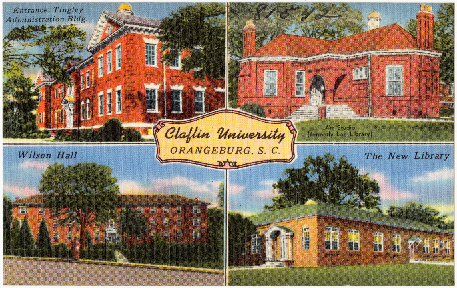
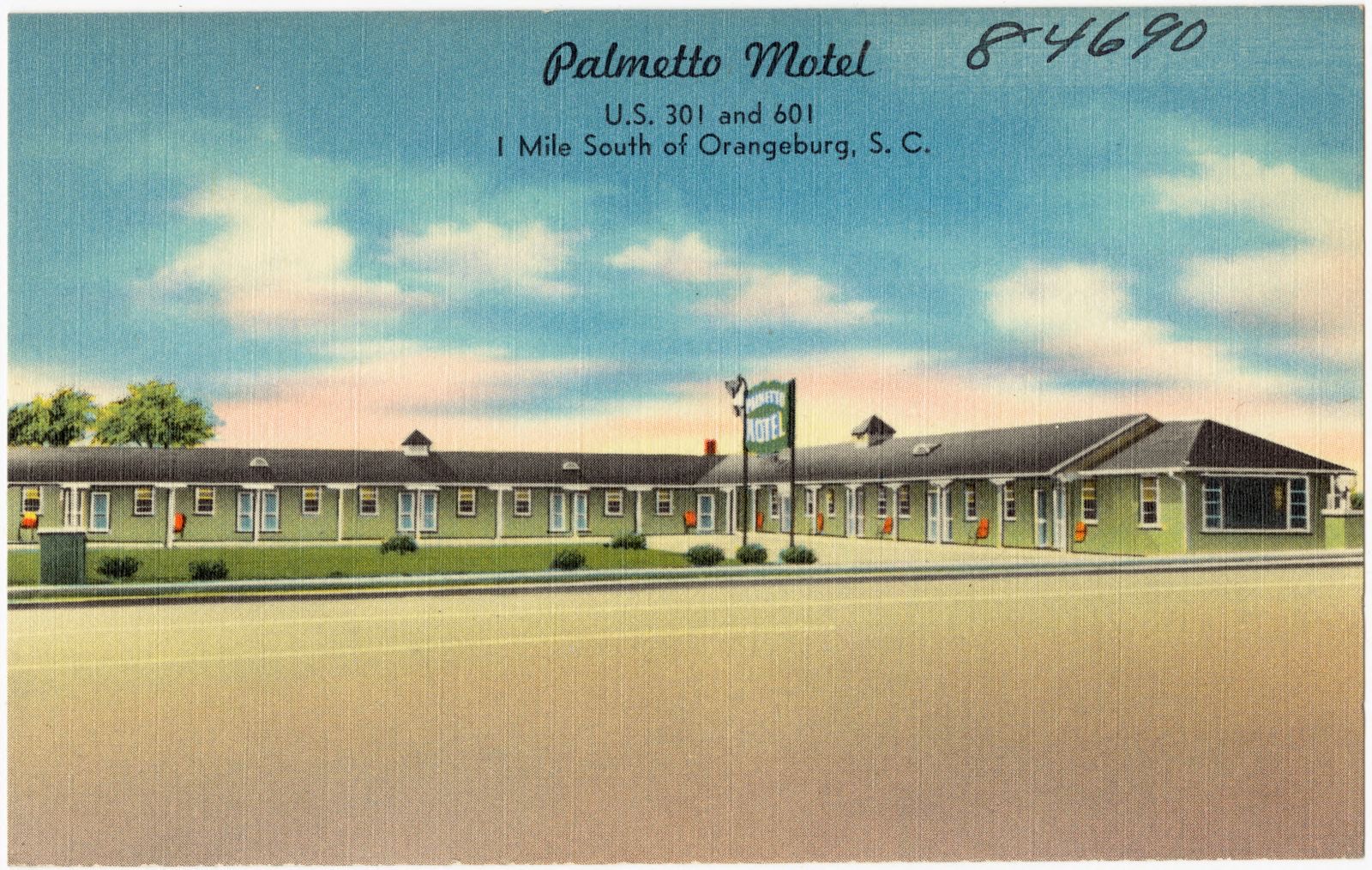
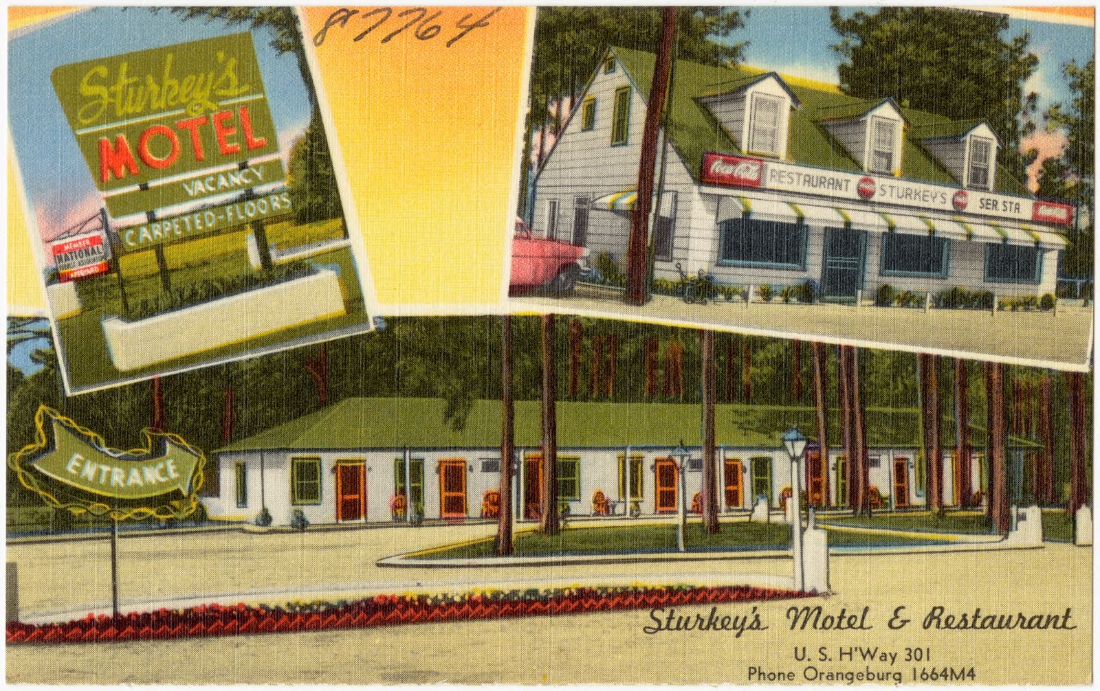
Selected from the Digital Public Library of America's 35 image records catalogued for this county. Every one shown here carries a public-domain status or a licence that permits reuse on a site that carries advertising; non-commercial, share-alike and restricted images are excluded. The selection is spread across the county's towns (at most eight per town), so no single institution's bulk upload crowds out the rest. Each opens the holding library's record, and the complete set at the Digital Public Library of America is one click away.
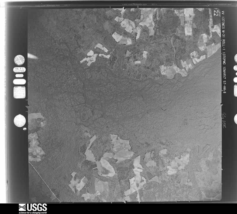
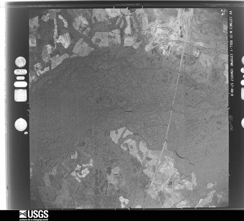
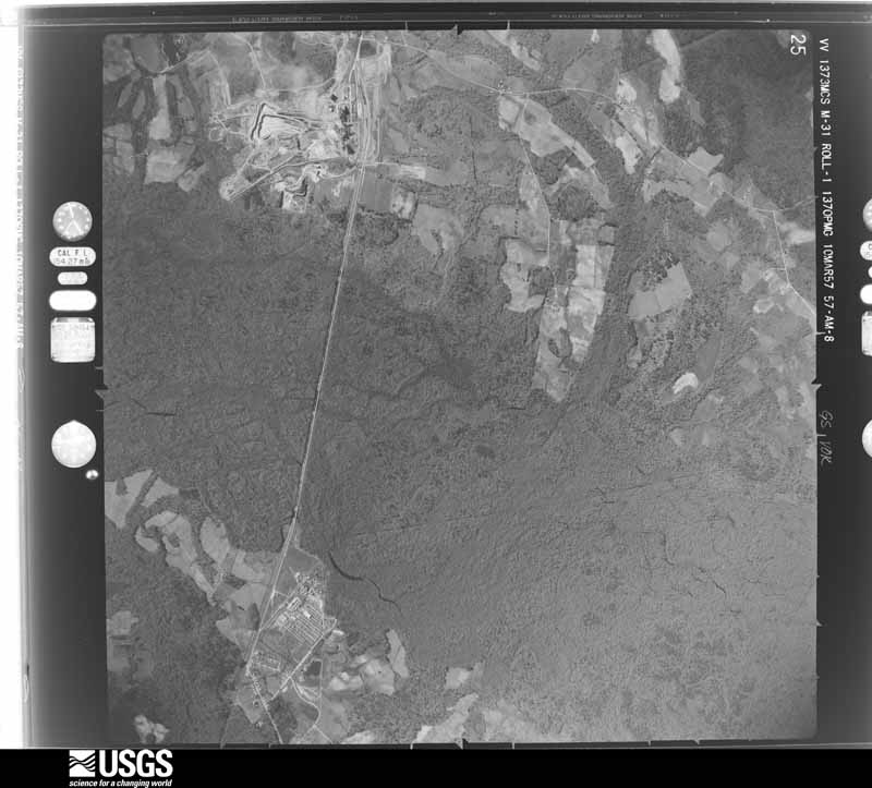
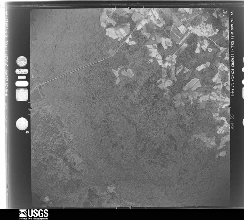
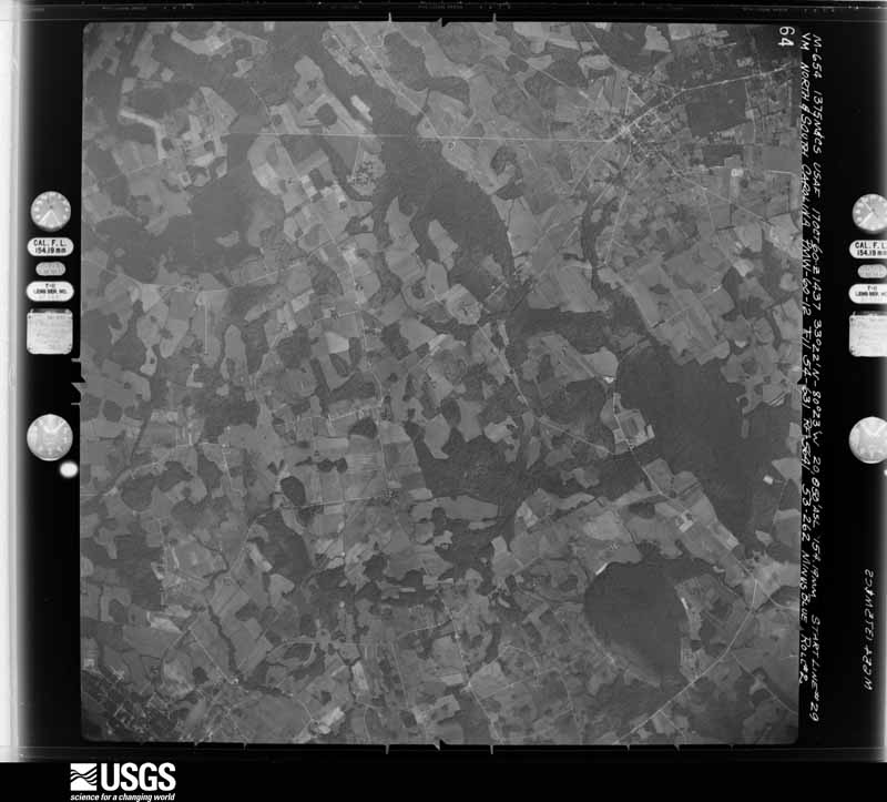
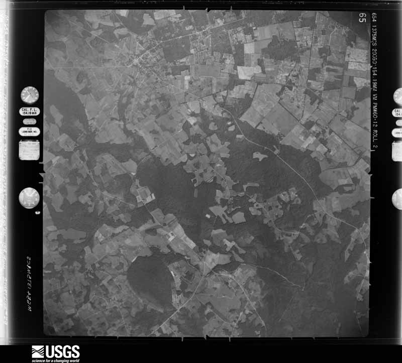
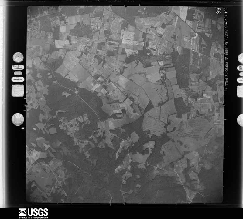
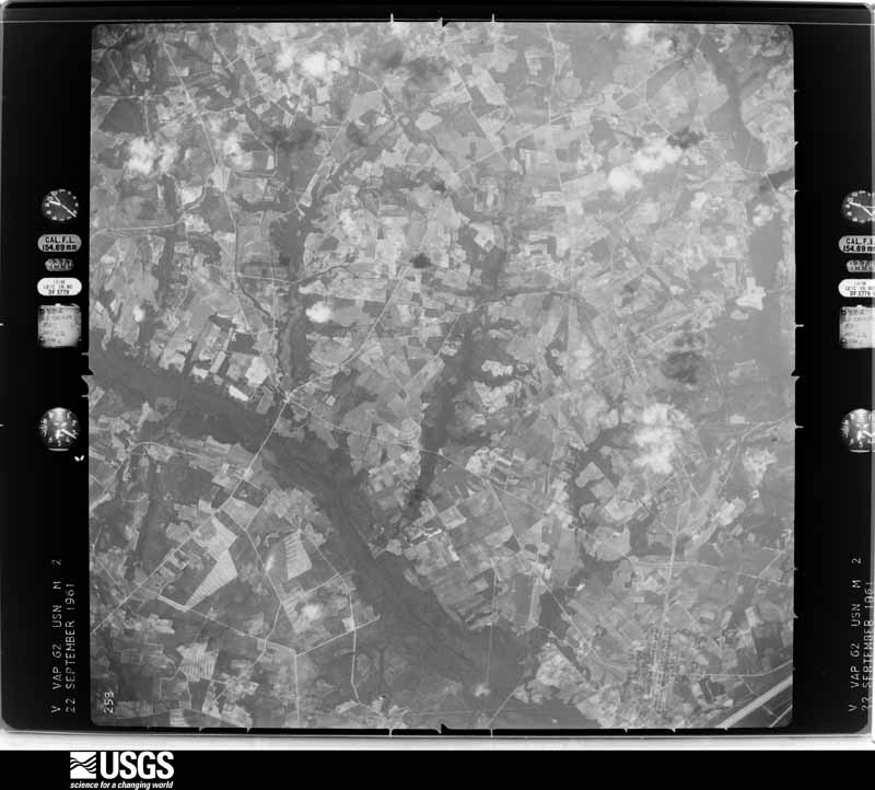
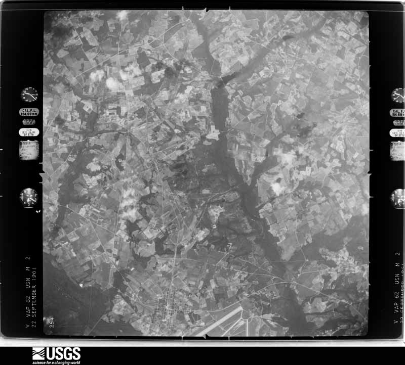
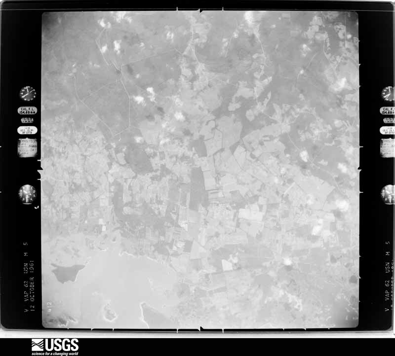
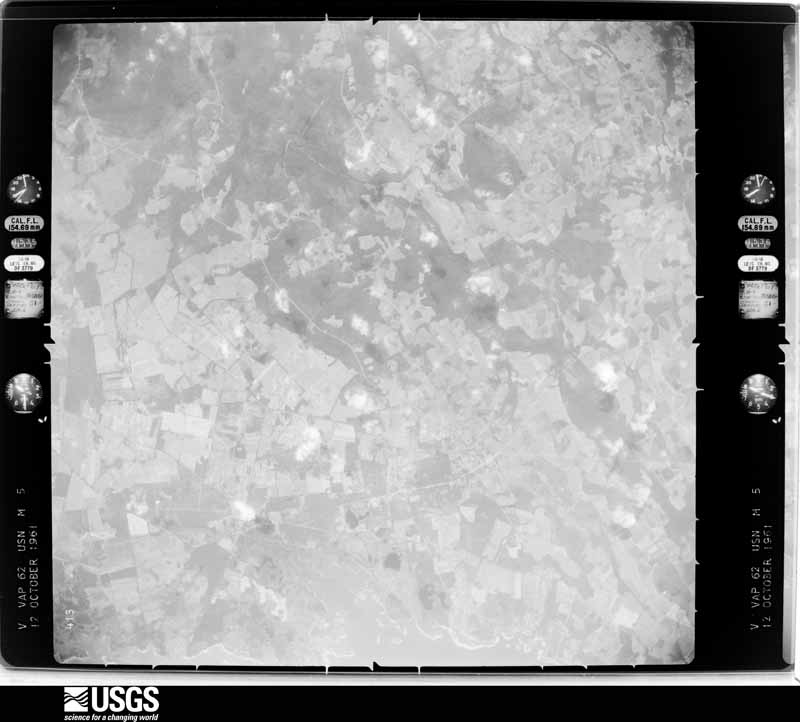
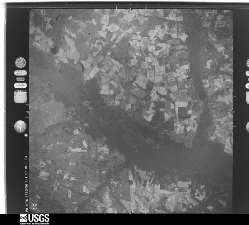
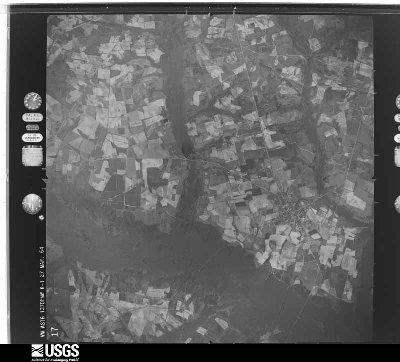
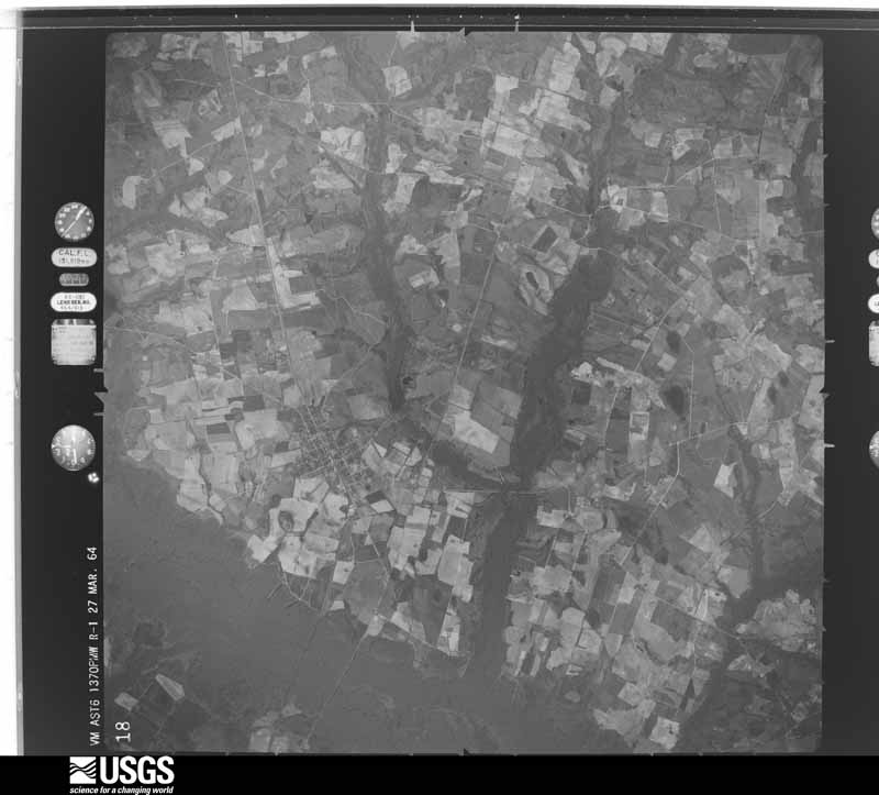
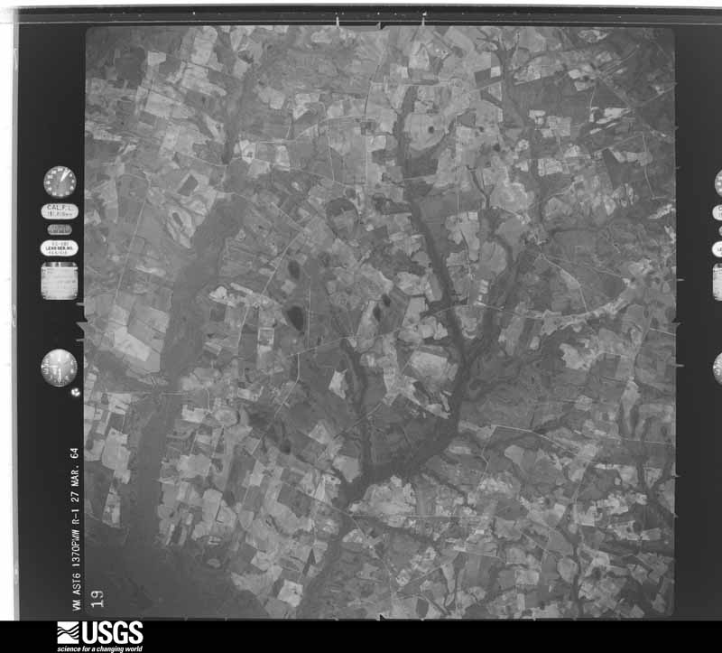
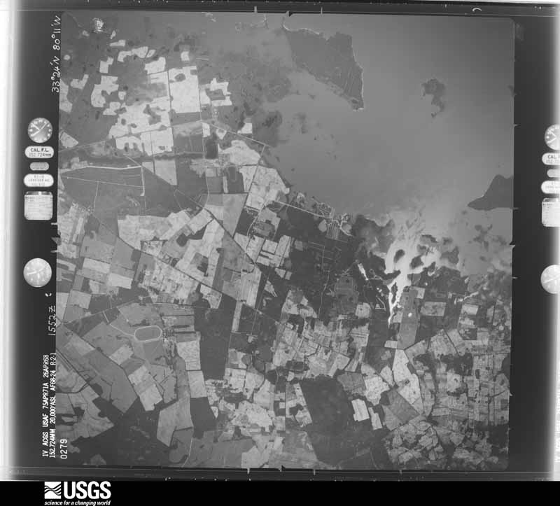
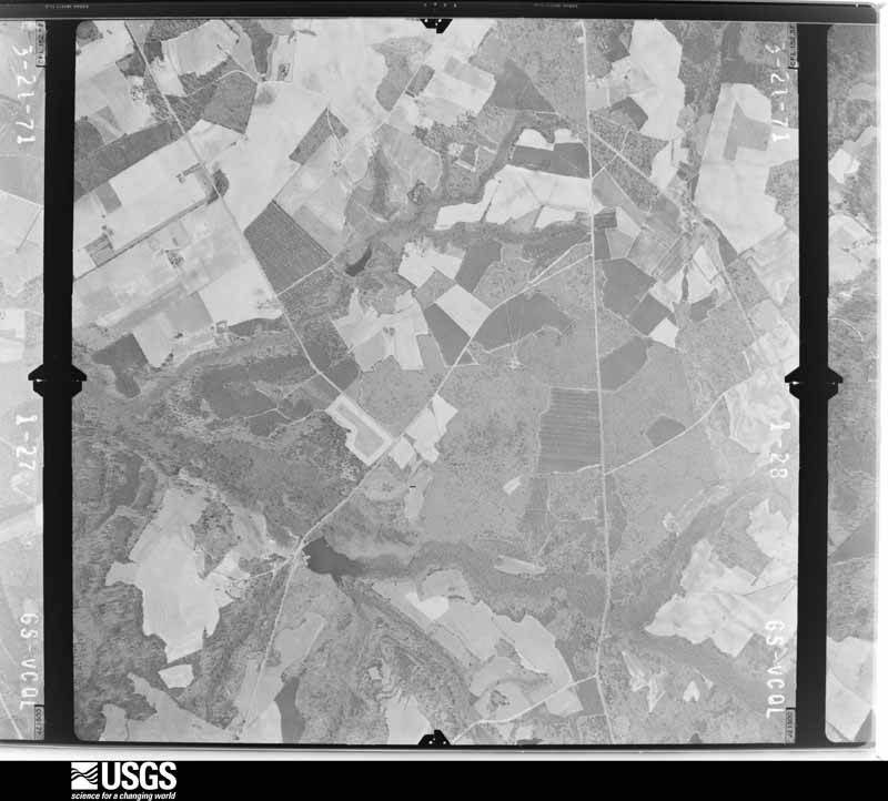
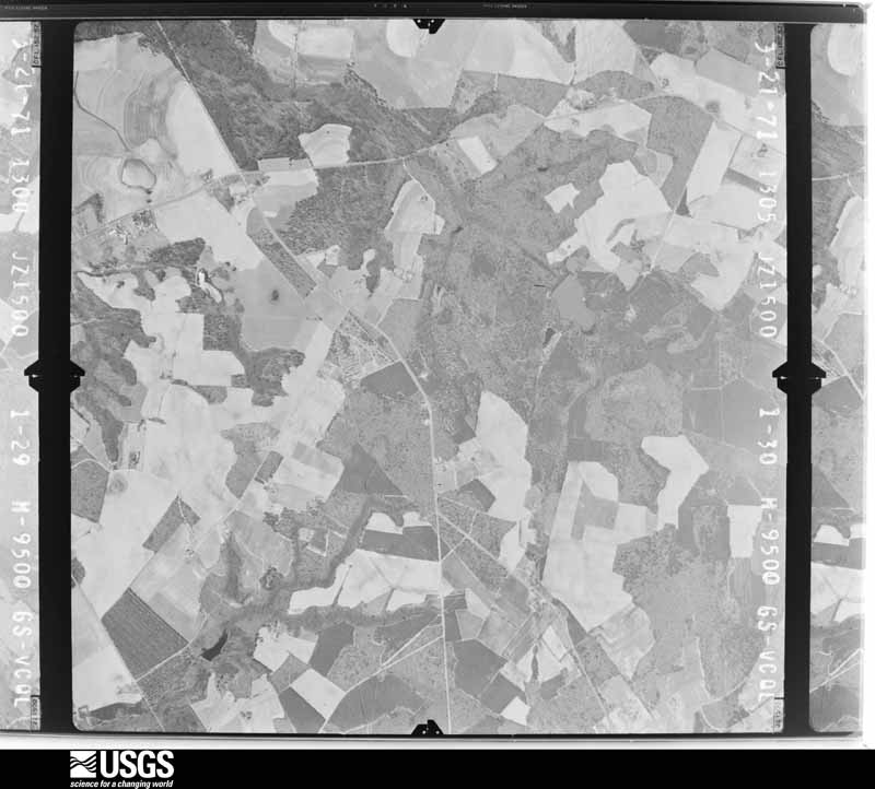
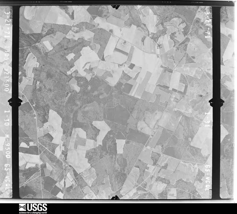
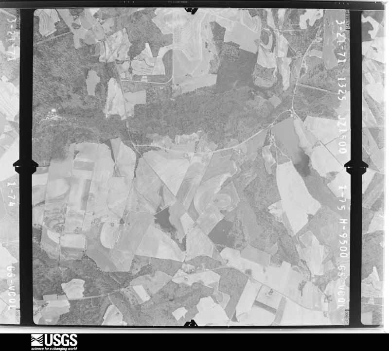
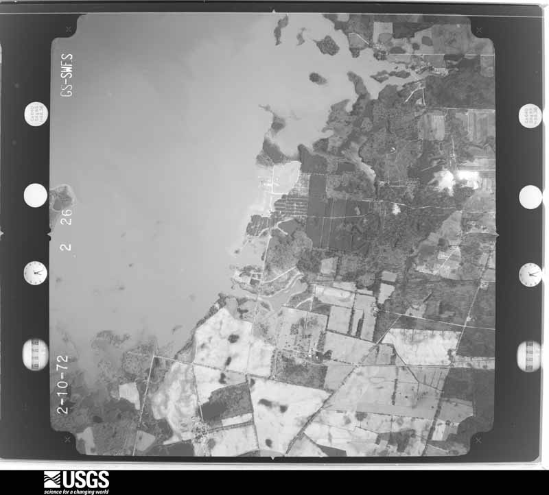
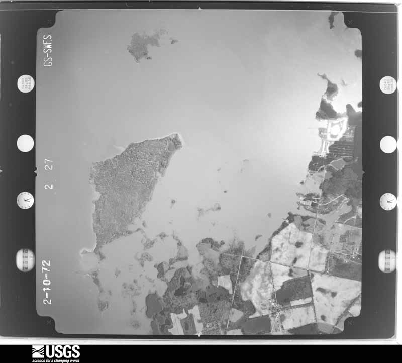
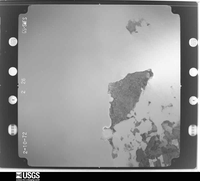
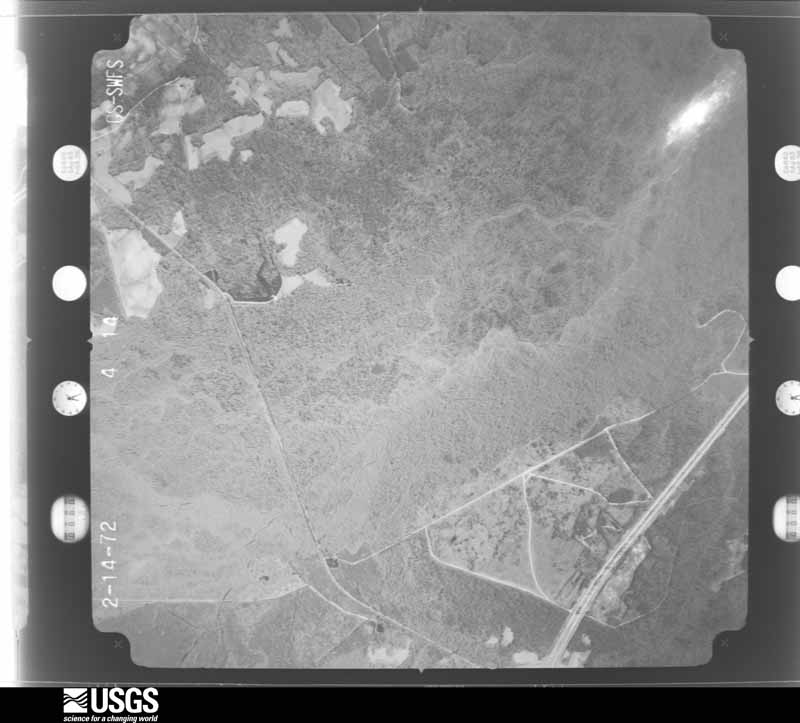
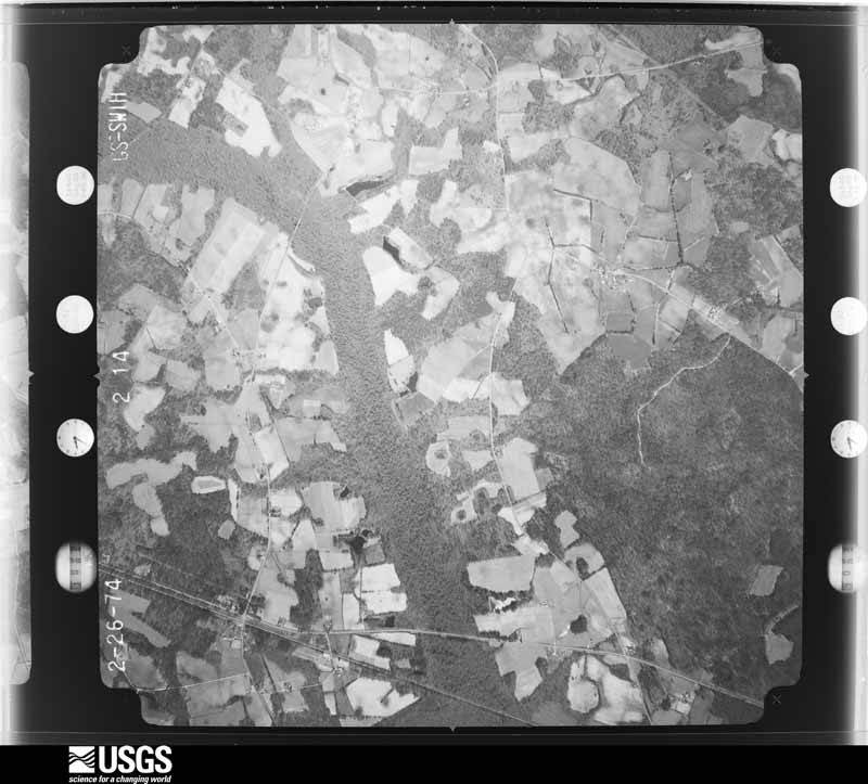
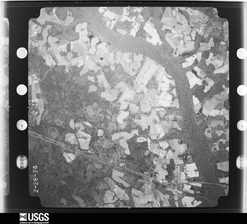
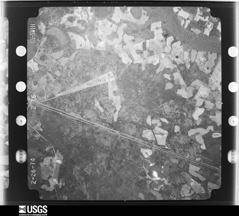
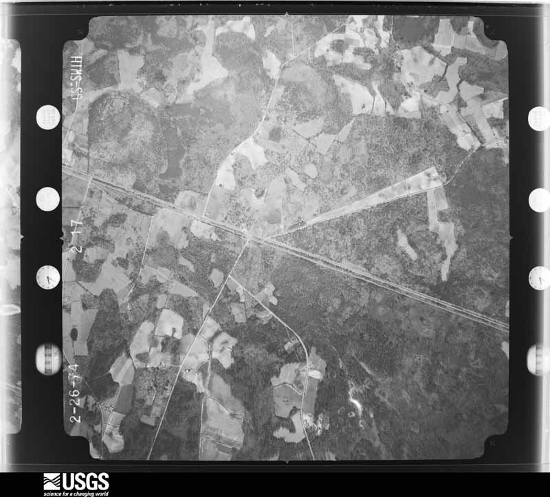
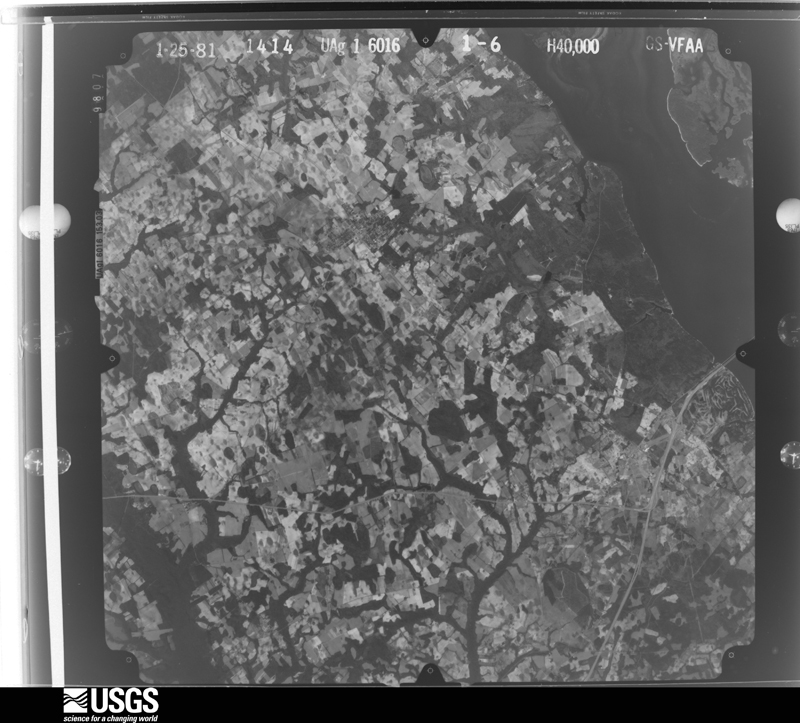
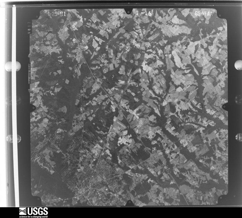
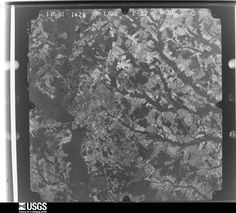
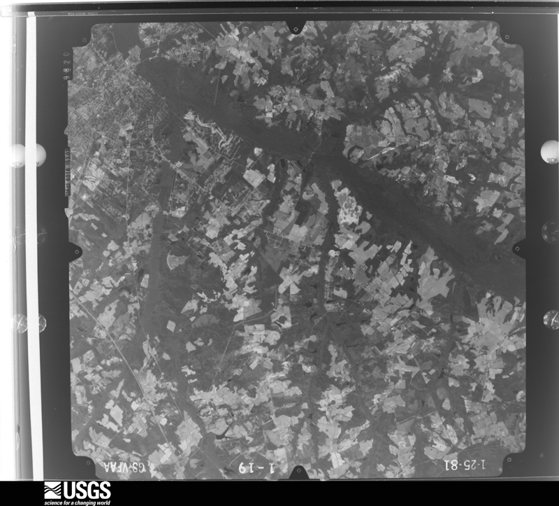
Flown by the U.S. Geological Survey between 1937 and 1989, the Aerial Photo Single Frames collection is the definitive mid-century view of the land: fields, roads and rivers as the camera saw them. The Survey holds 3,113 frames inside the rectangle that bounds this county; the 32 frames below were taken over the county itself, chosen across the decades of flights (at most four a year from that rectangle), so one flight cannot crowd out the rest. The full set is free to browse and download at EarthExplorer under the dataset Aerial Photo Single Frames.
The thermometers that kept this county's weather, and the gages that measured the flow of its streams, as the federal records hold them. The extremes below are measured values from those records, not estimates.
Who lived here in 1950, one enumeration district at a time, as the Census Bureau described each district. Each row opens its official National Archives result, with Population Schedules and ED Maps available there.
Every wildfire the federal occurrence database records inside this county: 4,561 of them, burning about 22,308 acres. 79 started naturally and 422 were recorded as arson. Each settlement page carries the fires within five miles of it.
| Reported cause | Fires |
|---|---|
| Debris and open burning | 1969 |
| Missing data/not specified/undetermined | 1314 |
| Arson/incendiarism | 422 |
| Equipment and vehicle use | 295 |
| Smoking | 251 |
| Misuse of fire by a minor | 176 |
| Natural | 79 |
| Power generation/transmission/distribution | 21 |
| Recreation and ceremony | 10 |
| Railroad operations and maintenance | 9 |
| Other causes | 9 |
| Fireworks | 6 |
The five largest, by the area the report gives. None of them was recorded as arson.
| Date | Cause | Size | Reported by | Name on the report |
|---|---|---|---|---|
| 10 March 1993 | Missing data/not specified/undetermined | 650 acres | South Carolina Forestry Commission | not named |
| 30 April 1993 | Missing data/not specified/undetermined | 373 acres | South Carolina Forestry Commission | not named |
| 23 January 1997 | Missing data/not specified/undetermined | 350 acres | South Carolina Forestry Commission | not named |
| 1 March 1999 | Debris and open burning | 316 acres | South Carolina Forestry Commission | not named |
| 22 March 2004 | Smoking | 260 acres | South Carolina Forestry Commission | not named |
| 20 August 2007 | Equipment and vehicle use | 200 acres | South Carolina Forestry Commission | WIGGINS THOMPSON |
| 17 April 2018 | Power generation/transmission/distribution | 200 acres | South Carolina Forestry Commission | not named |
| 13 March 2008 | Missing data/not specified/undetermined | 177 acres | South Carolina Forestry Commission | not named |
Every settlement page carries the fires within five miles of it - see the settlement index below.
The NOAA Storm Events Database holds 923 reports for this county, causing 7 deaths, 45 injuries and about $31,854,370 in recorded property damage. Each settlement page carries the reports that name it.
| Kind of event | Reports |
|---|---|
| Thunderstorm Wind | 544 |
| Hail | 207 |
| Tornado | 75 |
| Flash Flood | 66 |
| Heavy Rain | 12 |
| Flood | 9 |
| Lightning | 8 |
| Funnel Cloud | 2 |
The most serious of them, by death, then injury, then recorded damage. The accounts are quoted exactly as the forecast office filed them.
| When | Event | Place named | Harm | What the report says |
|---|---|---|---|---|
| April 2020 | Tornado (EF3) | Springfield | 2 killed, 7 hurt | A strong, long-track tornado began just south of the town of Elko in Barnwell Co SC where it was rated as EF-1, then moved in a general northeast direction through Orangeburg Co SC, where it reached EF-3 intensity and caused 2 fatalities and 7 injuries. The tornado dissipated shortly after crossing into Calhoun Co SC southwest of St. Matthews before reaching I-26. ||The tornado downed numerous trees along its path. It crossed Norway Rd where it snapped multiple power poles. As the tornado reached Fire Tower Rd west of Neeses, it intensified further, destroying 3 anchored manufactured homes on Preserver Rd near Ninety Six Rd. It was in this area that the 2 known fatalities occurred to residents in a double-wide manufactured home. ||The tornado then turned more eastward, crossing Savannah Hwy (US Hwy 321) and Dragstrip Rd north of Livingston. There were several homes or manufactured homes that were heavily damaged or destroyed in this area. The tornado gradually weakened as it crossed North Rd (US Hwy 178) and crossed into Calhoun Co. |
| November 2024 | Flood | Orangeburg Arpt | 2 killed | Record crest flooding occurred along the North Fork Edisto River as a result of heavy rain and upstream small pond and dam failures, causing several fatalities and damage to numerous structures in Orangeburg. The North Fork Edisto in Orangeburg rose from 7.00 feet at 12am EST on November 7th to a record crest of 15.34 feet at 1030pm on November 7th. The river remained in flood until November 10th. Two fatalities occurred in Orangeburg as a result of the river flooding. Damage occurred to the Walmart, CVS, and several other structures in downtown Orangeburg. |
| May 2012 | Thunderstorm Wind | Great Branch | 1 killed, $4,000 | Highway Patrol reported trees down near Hwy 400 and Cut Off Road. One tree fell on a Chevy Tahoe killing its occupant. |
| July 2019 | Thunderstorm Wind | Santee | 1 killed | SC Dept of Natural Resources reported a likely weather-related fatality on Lake Marion. Six people were on a 30 foot pontoon boat heading to a landing at Lake Marion Resort and Marina in Orangeburg Co when strong winds, and waves estimated at 3 to 4 feet, associated with nearby thunderstorms, caused the boat to overturn. Five people were able to get out from underneath the boat but the sixth boater, a 59 year old male, was found unconscious and later pronounced dead. Two dogs were also lost. Time estimated. |
| July 2008 | Lightning | Eutawville | 1 killed | Korey Moore was struck and killed by lightning on Lake Marion near Mill Creek while riding a jet ski. |
| December 1977 | Tornado (F1) | not stated | 7 hurt, $2,500,000 | no account filed |
| July 1987 | Thunderstorm Wind | not stated | 6 hurt | no account filed |
| April 1997 | Thunderstorm Wind | Eutawville | 4 hurt | no account filed |
| May 1976 | Tornado (F2) | not stated | 3 hurt, $250,000 | no account filed |
| November 1995 | Tornado (F1) | Orangeburg | 3 hurt, $200,000 | Tornado destroyed 16 mobile homes, seriously damaged 11 others and one frame home, and took trees down. Most of the damage occurred along U.S. 178. Three people were slightly injured. |
| July 1997 | Thunderstorm Wind | Santee | 3 hurt, $12,000 | A tree fell on a Ford Escort traveling along U.S. Highway 15 at Santee. Three people were injured. |
| April 1983 | Tornado (F1) | not stated | 2 hurt, $250,000 | no account filed |
| June 1990 | Thunderstorm Wind | not stated | 2 hurt | no account filed |
| September 1963 | Tornado (F2) | not stated | 1 hurt, $25,000 | no account filed |
| July 1997 | Thunderstorm Wind | Elloree | 1 hurt, $18,000 | A tree fell on a Pontiac Grand Am traveling along SC Highway 267 injuring a 36 year old Elloree woman. |
| August 2002 | Thunderstorm Wind | Orangeburg | 1 hurt, $8,000 | Emergency Manager reported tree fell on a home and came through the roof causing one injury. |
| December 2004 | Tornado (F3) | Orangeburg | 1 hurt | Damage survey found an F3 tornado demolished a brick church, completely destroyed 2 mobile homes and several outbuildings. The main damage occurred on Coulter road. |
| July 2003 | Lightning | Santee | 1 hurt | A State Trooper was struck and injured by lightning on I-95. |
| May 1996 | Lightning | Bowman | 1 hurt | no account filed |
| June 1989 | Thunderstorm Wind | not stated | 1 hurt | no account filed |
| August 1987 | Thunderstorm Wind | not stated | 1 hurt | no account filed |
| October 2015 | Flash Flood | Eutawville | $20,000,000 | In the Holly Hill and Eutawville vicinity several roads closed due to flooding. Several homes and businesses flooded and water rescues in progress. Shelters being opened for residents. Reported by Orangeburg Co. EM. |
| April 1983 | Tornado (F3) | not stated | $2,500,000 | no account filed |
| October 2015 | Flash Flood | Elloree | $500,000 | Roadway washed out at Warrior Drive and Browing Road. |
| October 2015 | Flash Flood | Holly Hill | $500,000 | Orangeburg County EM reports street flooding in multiple locations in Holly Hill and Santee. One road is washed out. |
| September 1994 | Tornado (F1) | not stated | $500,000 | Tornado touched down in a field then took half the roof off a country store in Cope spreading debri downstream. Power lines downed. |
| September 2016 | Flash Flood | Orangeburg | $400,000 | Flash Flooding was reported in parts of Orangeburg. The water entered three county buildings, including the library, the courthouse and the law enforcement complex. The emergency manager estimates 40 structures were flooded, with 20 to 25 of them sustaining substantial damage. An apartment complex had 5 buildings with 2 to 3 feet of water in them. A daycare center also had 2 feet of water in the building. Numerous cars were also submerged. |
| June 2013 | Thunderstorm Wind | Bowman | $380,000 | NWS storm survey found numerous trees down along and south of I-20 from mile marker 161 to I-95. I-20 was closed due to trees across the interstate. A chicken barn was destroyed near the intersection of Winter Creek and Funderburg roads and field irrigation systems were rolled over. |
| June 2013 | Tornado (EF1) | Providence | $340,000 | NWS storm survey found an EF1 tornado that began near Ayshire Road and Ebenezer Road. The tornado continued to move southeast across Ebenezer Road between 4 Holes Farm Road and Duncan Chape Road. The tornado continued into Dorchester County. Numerous trees and powerlines were down and three homes were damaged. Five homes had moderate damage and 28 agricultural buildings were badly damaged or destroyed. |
| July 2022 | Flash Flood | Orangeburg | $300,000 | The broadcast media and local newspaper reported a flash flood at the Malibu Apartments along Malibu Dr between Middleton St and Green St. Ten units flooded with water up to one to two feet. Cars that were parked were also flooded. The nearby Orangeburg water plant reported 3.00 inches of rain, a weather observer along mason drive reported 3.37 inches of rain and a cocorahs observer off jackson drive reported 2.41 inches of rain. Sunnyside Canal, which runs through the complex, rose from 0.54 feet up to 5.31 feet in 45 minutes, cresting at 215 am. |
| July 1997 | Lightning | Cope | $300,000 | A lightning strike at the Cope Baptist Church caused the educational building to catch fire and burn down. |
| August 2023 | Flash Flood | Holly Hill | $250,000 | Orangeburg County Emergency Manager reported multiple flooded and impassable roads in and around Holly Hill. 6 inches of water covering roadways. |
| April 1979 | Tornado (F1) | not stated | $250,000 | no account filed |
| March 1998 | Tornado (F2) | Vance | $220,000 | An F2 tornado did major damage to a horse farm and race track. Several of the horses were injured. Debris from the horse farm was found as far as 3 miles away. Major damage was also done to a home and a couple of mobile homes. Minor damage was also done to a couple of mobile and permanent homes. |
| August 1996 | Lightning | Orangeburg | $200,000 | no account filed |
| July 2004 | Lightning | Bolen | $150,000 | Home hit by lightning was destroyed by the fire. |
| August 2023 | Flash Flood | Santee | $100,000 | Orangeburg County Emergency Manager reported multiple roads impassable due to flooding in and around Santee. |
| August 2023 | Flash Flood | Bowman | $100,000 | Orangeburg County Emergency Manager reported several roads in and around Bowman impassable due to flooding, including Poplar Road, Canal Street and Bowman Avenue. |
| October 2015 | Flash Flood | Parler | $100,000 | SCHP reported road flooding with road closure at US HWY 301 and SC 267. |
| March 1998 | Tornado (F2) | Neeses | $80,000 | An F2 tornado tracked along highway 4 near Pine Hill. It picked up 2 mobile homes, took them 35 ft into the air, and brought them down on top of a 35 ft by 75 ft cinder block building 30 yards away completely destroying the mobile homes and the building. Other damage was done to a couple other mobile and permanent homes, and also to a church roof. A second 12 ft by 24 ft cinder block building was also demolished. |
| April 2009 | Thunderstorm Wind | Elloree | $60,000 | The Elloree mayor and DOT repoted several trees down at minor to moderate damage to several gin mills and grainerys. |
| August 2011 | Thunderstorm Wind | Jamison | $54,000 | Emergency Manager reported a mobile home in the Jamison community damaged/destroyed by a falling tree during the storm warning timeframe last night. Single wide mobile home with a tree through the middle of it. Fire department responded to assist with getting people out but no injuries. Trees were also down off North St. Matthews Road near Hwy 601. |
| August 2023 | Flash Flood | Eutawville | $50,000 | Orangeburg County Emergency Manager reported roadways impassable due to flooding from the intersection of Branchdale and Eutaw Highways to the train tracks near Factory Road. |
| January 1995 | Thunderstorm Wind | west part | $50,000 | Trees and power lines down near Springfield and Livingston. |
| August 1994 | Tornado (F1) | Neese | $50,000 | Tornado downed trees and power lines at Neese. |
| July 2006 | Thunderstorm Wind | Eutawville | $45,000 | A downburst overturned 1 mobile home and ripped half of the roof off of 2 others on Adidas Road. Half the shingles were torn off another framed home and a porch was destroyed by a fallen tree on another home. The width of the microburst was 1 to 1.5 miles wide with gust estimated at 75mph. |
| April 2011 | Hail | Orangeburg | $40,000 | Sheriff reported golf ball size hail at FIRE STATION 4 located at Rowesville Road and Prosperity Drive. |
| January 1996 | Tornado (F0) | Orangeburg | $29,000 | no account filed |
| June 2012 | Thunderstorm Wind | Bowman | $25,000 | EM reported trees down in and around Bowman. One tree fell on his home and another on a barn causing minor to moderate damage. |
| July 1983 | Tornado (F1) | not stated | $25,000 | no account filed |
| July 1981 | Tornado (F1) | not stated | $25,000 | no account filed |
| July 1980 | Tornado (F1) | not stated | $25,000 | no account filed |
| June 1978 | Tornado (F1) | not stated | $25,000 | no account filed |
| July 1978 | Tornado (F2) | not stated | $25,000 | no account filed |
| March 1976 | Tornado (F1) | not stated | $25,000 | no account filed |
| March 1972 | Tornado (F1) | not stated | $25,000 | no account filed |
| March 1971 | Tornado (F1) | not stated | $25,000 | no account filed |
| August 1963 | Tornado (F1) | not stated | $25,000 | no account filed |
| June 1953 | Tornado (F1) | not stated | $25,000 | no account filed |
| October 2016 | Flash Flood | Holly Hill | $20,000 | Orangeburg County EOC reported Old State Road in Holly Hill closed due to flooding. Also, flooding occurring in some buildings in Holly Hill. Water estimated to be 2 to 3 feet deep. |
The Survey's mineral resources record lists 15 workings inside this county. 8 still produce and 7 are closed or unrecorded. Each settlement page carries the workings within five miles of it.
| Commodity | Workings |
|---|---|
| Clay | 7 |
| Sand and Gravel, Construction | 5 |
| Limestone, General | 1 |
| Cement Rock | 1 |
| Stone | 1 |
The least common of them first, because a county's hundredth gravel pit says nothing its first ten did not.
| Where | Site | Commodity | Status | Recorded |
|---|---|---|---|---|
| Holly Hill Quarry | Limestone, General | Unknown | Sedimentary | |
| Holly Hill Quarry & Cement Plant | Stone | Producer | ||
| Santee Portland Limestone Quarry | Cement Rock | Producer | Sedimentary | |
| Branchville #1 Mine | Sand and Gravel, Construction | Past Producer | Sedimentary | |
| Branchville No.1 Mine | Sand and Gravel, Construction | Producer | ||
| Deerfield Sand Pit | Sand and Gravel, Construction | Past Producer | ||
| Edisto Asphalt Sand Pit | Sand and Gravel, Construction | Unknown | Sedimentary | |
| No. 6 Pit | Sand and Gravel, Construction | Producer | ||
| Blue Circle Clay Pit | Clay | Producer | Sedimentary | |
| Evans Pit | Clay | Producer | Sedimentary | |
| Gifford-Hill Clay Pit | Clay | Unknown | Sedimentary | |
| Gifford-Hill Clay Pit | Clay | Past Producer | ||
| Holly Hill Mine | Clay | Unknown | Sedimentary | |
| Jamison Clay Mine | Clay | Producer | Sedimentary | |
| Jamison Clay Pit | Clay | Producer |
One book written about this county, cut here where the book itself is cut, at its printed chapters: 1 chapter in all. Every chapter is public domain, machine-read from the scan and reproduced complete. A chapter already given under one of the county's towns is not repeated in this list.
| Chapter | Length |
|---|---|
| The whole text | 129,668 words in 9 parts |
Named settlements recorded in the Geographic Names Information System, each with the topographic sheets covering it. Villages, hamlets and abandoned places alike. Each is shown with the nearest named watercourse or landform and the survey quadrangle it falls on. The 1 place that was also surveyed for fire insurance comes first, with the number of atlases and photographs held for them.
Orangeburg census division · 29115 · Orangeburg South quadrangle
18 sheets, 1920 to 1990
Fire insurance: 10 atlases
Orangeburg census division · 29115 · On Caw Caw Swamp · Orangeburg North quadrangle
13 sheets, 1946 to 1990
Orangeburg West census division · 29115 · On Caw Caw Swamp · Cordova quadrangle
18 sheets, 1920 to 1990
Neeses census division · 29107 · North quadrangle
13 sheets, 1946 to 1988
No longer a settlement
Orangeburg census division · 29118 · On Turkey Hill Branch · Orangeburg North quadrangle
13 sheets, 1946 to 1990
Branchville census division · 29432 · Branchville North quadrangle
17 sheets, 1920 to 1990
Eutawville census division · 29163 · On Mill Creek · Vance quadrangle
17 sheets, 1920 to 1990
Orangeburg census division · 29115 · Orangeburg North quadrangle
13 sheets, 1946 to 1990
Orangeburg census division · 29118 · On Caw Caw Swamp · Wolfton quadrangle
13 sheets, 1946 to 1990
Orangeburg census division · 29115 · Orangeburg South quadrangle
18 sheets, 1920 to 1990
Orangeburg census division · 29118 · Orangeburg North quadrangle
13 sheets, 1946 to 1990
Holly Hill census division · 29059 · Holly Hill quadrangle
17 sheets, 1920 to 1990
No longer a settlement
Orangeburg census division · 29118 · On Turkey Hill Branch · Orangeburg North quadrangle
13 sheets, 1946 to 1990
Orangeburg census division · 29115 · Orangeburg South quadrangle
18 sheets, 1920 to 1990
Orangeburg census division · 29118 · On Turkey Hill Branch · Wolfton quadrangle
13 sheets, 1946 to 1990
Orangeburg census division · 29115 · Orangeburg South quadrangle
18 sheets, 1920 to 1990
Norway census division · 29113 · On Little River · Norway West quadrangle
14 sheets, 1919 to 1982
No longer a settlement
Orangeburg census division · 29118 · On Early Branch · Orangeburg North quadrangle
13 sheets, 1946 to 1990
Orangeburg census division · 29118 · On Turkey Hill Branch · Orangeburg North quadrangle
13 sheets, 1946 to 1990
Santee-Vance census division · 29059 · On Jack Branch · Felderville quadrangle
18 sheets, 1920 to 1990
Orangeburg census division · 29118 · On Turkey Hill Branch · Wolfton quadrangle
13 sheets, 1946 to 1990
Eutawville census division · 29048 · On Eutaw Creek · Eutawville quadrangle
17 sheets, 1920 to 1990
No longer a settlement
Orangeburg West census division · 29115 · On Caw Caw Swamp · Cordova quadrangle
18 sheets, 1920 to 1990
Orangeburg West census division · 29115 · Cordova quadrangle
18 sheets, 1920 to 1990
No longer a settlement
Eutawville census division · 29048 · On Eutaw Creek · Eutawville quadrangle
17 sheets, 1920 to 1990
Eutawville census division · 29048 · Eutawville quadrangle
17 sheets, 1920 to 1990
No longer a settlement
Branchville census division · 29432 · Branchville South quadrangle
18 sheets, 1919 to 1990
No longer a settlement
Orangeburg census division · 29118 · On Turkey Hill Branch · Orangeburg North quadrangle
13 sheets, 1946 to 1990
Eutawville census division · 29048 · On Eutaw Creek · Eutawville quadrangle
17 sheets, 1920 to 1990
Holly Hill census division · 29059 · On Home Branch · Holly Hill quadrangle
17 sheets, 1920 to 1990
Orangeburg census division · 29118 · On Turkey Hill Branch · Wolfton quadrangle
13 sheets, 1946 to 1990
Orangeburg census division · 29118 · Orangeburg North quadrangle
13 sheets, 1946 to 1990
Orangeburg West census division · 29115 · On Grape Branch · Wolfton quadrangle
13 sheets, 1946 to 1990
Orangeburg census division · 29118 · On Early Branch · Orangeburg North quadrangle
13 sheets, 1946 to 1990
Orangeburg census division · 29118 · On Caw Caw Swamp · Wolfton quadrangle
13 sheets, 1946 to 1990
Orangeburg West census division · 29115 · On Caw Caw Swamp · Cordova quadrangle
18 sheets, 1920 to 1990
Orangeburg census division · 29115 · On Caw Caw Swamp · Orangeburg South quadrangle
18 sheets, 1920 to 1990
Orangeburg census division · 29118 · Orangeburg North quadrangle
13 sheets, 1946 to 1990
Orangeburg census division · 29118 · On Turkey Hill Branch · Orangeburg North quadrangle
13 sheets, 1946 to 1990
Orangeburg census division · 29118 · On Turkey Hill Branch · Orangeburg North quadrangle
13 sheets, 1946 to 1990
Orangeburg census division · 29118 · On Turkey Hill Branch · Wolfton quadrangle
13 sheets, 1946 to 1990
Orangeburg census division · 29118 · On Turkey Hill Branch · Orangeburg North quadrangle
13 sheets, 1946 to 1990
Orangeburg census division · 29115 · On Caw Caw Swamp · Orangeburg North quadrangle
13 sheets, 1946 to 1990
Orangeburg census division · 29115 · Orangeburg South quadrangle
18 sheets, 1920 to 1990
Orangeburg census division · 29118 · On Turkey Hill Branch · Wolfton quadrangle
13 sheets, 1946 to 1990
Orangeburg census division · 29115 · Orangeburg South quadrangle
18 sheets, 1920 to 1990
Orangeburg census division · 29118 · On Turkey Hill Branch · Orangeburg North quadrangle
13 sheets, 1946 to 1990
Orangeburg census division · 29118 · On Caw Caw Swamp · Wolfton quadrangle
13 sheets, 1946 to 1990
Orangeburg census division · 29118 · On Turkey Hill Branch · Orangeburg North quadrangle
13 sheets, 1946 to 1990
Orangeburg census division · 29118 · On Fourmile Creek · Wolfton quadrangle
13 sheets, 1946 to 1990
Santee-Vance census division · 29163 · On Mill Creek · Vance quadrangle
17 sheets, 1920 to 1990
Santee-Vance census division · 29142 · On Webbs Creek · Vance quadrangle
17 sheets, 1920 to 1990
Orangeburg census division · 29115 · On Caw Caw Swamp · Cordova quadrangle
18 sheets, 1920 to 1990
Orangeburg census division · 29118 · On Turkey Hill Branch · Orangeburg North quadrangle
13 sheets, 1946 to 1990
Orangeburg census division · 29115 · Orangeburg North quadrangle
13 sheets, 1946 to 1990
Orangeburg census division · 29115 · Orangeburg South quadrangle
18 sheets, 1920 to 1990
Orangeburg census division · 29115 · Orangeburg North quadrangle
13 sheets, 1946 to 1990
Orangeburg census division · 29118 · On Caw Caw Swamp · Wolfton quadrangle
13 sheets, 1946 to 1990
North census division · 29118 · On Little Limestone Creek · Wolfton quadrangle
13 sheets, 1946 to 1990
Elloree census division · On Goodbys Swamp · Felderville quadrangle
18 sheets, 1920 to 1990
Orangeburg census division · 29115 · Orangeburg South quadrangle
18 sheets, 1920 to 1990
Orangeburg census division · 29118 · Orangeburg North quadrangle
13 sheets, 1946 to 1990
Orangeburg census division · 29115 · Orangeburg North quadrangle
13 sheets, 1946 to 1990
Orangeburg census division · 29115 · On Caw Caw Swamp · Wolfton quadrangle
13 sheets, 1946 to 1990
Orangeburg census division · 29118 · On Early Branch · Wolfton quadrangle
13 sheets, 1946 to 1990
Elloree census division · 29059 · On Jack Branch · Felderville quadrangle
18 sheets, 1920 to 1990
Orangeburg West census division · 29115 · On Caw Caw Swamp · Cordova quadrangle
18 sheets, 1920 to 1990
Orangeburg census division · 29133 · Branchville North quadrangle
17 sheets, 1920 to 1990
Springfield census division · 29112 · Harleys Millpond quadrangle
13 sheets, 1946 to 1988
Orangeburg census division · 29115 · On Caw Caw Swamp · Wolfton quadrangle
13 sheets, 1946 to 1990
Orangeburg census division · 29118 · On Caw Caw Swamp · Wolfton quadrangle
13 sheets, 1946 to 1990
Branchville census division · 29432 · Branchville North quadrangle
17 sheets, 1920 to 1990
Orangeburg census division · 29118 · On Turkey Hill Branch · Orangeburg North quadrangle
13 sheets, 1946 to 1990
Orangeburg census division · 29118 · On Turkey Hill Branch · Orangeburg North quadrangle
13 sheets, 1946 to 1990
Santee-Vance census division · 29163 · On Mill Creek · Vance quadrangle
17 sheets, 1920 to 1990
Norway census division · 29113 · On Little River · Norway West quadrangle
14 sheets, 1919 to 1982
No longer a settlement
Santee-Vance census division · 29059 · On Batchelor Branch · Holly Hill quadrangle
17 sheets, 1920 to 1990
Bowman census division · 29018 · On Patrick Branch · Wadboo Swamp quadrangle
18 sheets, 1920 to 1990
Orangeburg census division · 29115 · Orangeburg South quadrangle
18 sheets, 1920 to 1990
Orangeburg census division · 29115 · Orangeburg North quadrangle
13 sheets, 1946 to 1990
Orangeburg census division · 29115 · Orangeburg South quadrangle
18 sheets, 1920 to 1990
Orangeburg census division · 29115 · On Caw Caw Swamp · Orangeburg North quadrangle
13 sheets, 1946 to 1990
Orangeburg census division · 29118 · On Turkey Hill Branch · Wolfton quadrangle
13 sheets, 1946 to 1990
Orangeburg census division · 29118 · Orangeburg North quadrangle
13 sheets, 1946 to 1990
The vanished settlements of Orangeburg County: the places named above that are no longer on the map.
18 topographic sheets and 10 fire insurance atlases, 1884 to 1947
The complete index, with nothing left out. Each of these is a separate record with its own page: a federal survey report, or the case file that argued a property on to the National Register. Both are public domain and reproduced word for word.
The vanished settlements of Orangeburg County, the places these records name that are no longer on the map.