 Block
Gaffney, South Carolina
16 topographic sheets cover this place, the earliest surveyed in 1909 and the latest in 1991. It stands in the Gaffney census division. It lies in ZIP code area 29340. The Survey maps it on the Gaffney quadrangle. 12,764 people lived here at the 2020 count. It stands 804 feet above sea level.
Research this city
On record in Gaffney
Buildings and businesses the archive holds for this place. Each opens its own page, with the source record it came from.
On the National Register 9 records
 Carnegie Free Librarylisted 2000
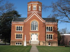 Winnie Davis Halllisted 1977
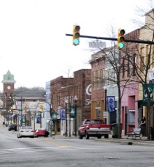 Gaffney Commercial Historic Districtlisted 1986
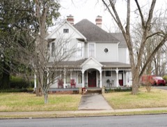 Gaffney Residential Historic Districtlisted 1986
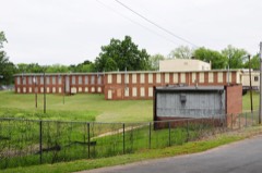 Irene Mill Finishing Plantlisted 1986
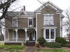 Jefferies Houselisted 1986
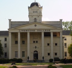 Limestone Springs Historic Districtlisted 1986
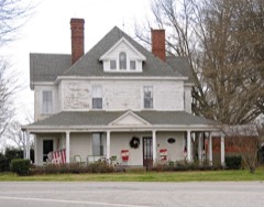 Magness-Humphries Houselisted 2001
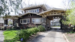 Settlemyer Houselisted 1986
Surveyed buildings and structures 2 records
- Broad River Bridge, Spanning Broad River at U.S. Highway 29, Gaffneyfederal building survey, 24 photographs
- Cowpens Iron Furnace, 1000 feet East of County Road 34 & Cherokee Creek Bridge, Gaffneyfederal building survey, 12 photographs
Topographic sheets covering this place
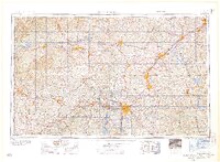
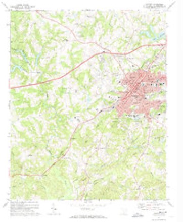
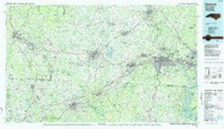
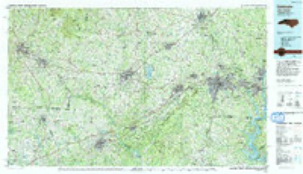
8 surveys from 16 printed sheetsMatched by testing this settlement's coordinate against the published boundary of every sheet in the United States Geological Survey's historical collection. Each opens the scanned sheet at the Survey.
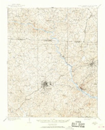
- 1909 USGS Gaffney quadrangle1:62500, 4 printings
- 1953 USGS Charlotte quadrangle1:250000, 3 printings
- 1954 USGS Charlotte quadrangle1:250000, 2 printings
- 1960 USGS Charlotte quadrangle1:250000, 2 printings
- 1962 USGS Charlotte quadrangle1:250000
- 1971 USGS Gaffney quadrangle1:24000, 2 printings
- 1986 USGS Gastonia quadrangle1:100000
- 1991 USGS Gastonia quadrangle1:100000
Photographs
8 photographs, 1937Taken for the Office of War Information and the Farm Security Administration, who photographed the country between 1935 and 1944. Works of United States government photographers, with no known restriction on use. Each opens its catalogue record.
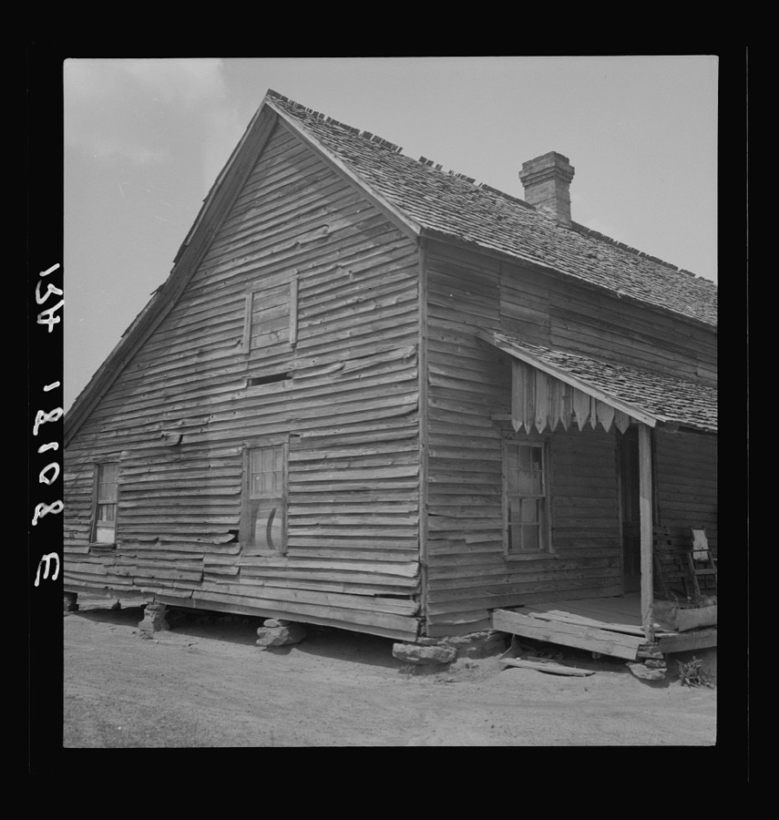
Lange, Dorothea, photographer, 1937. Library of Congress
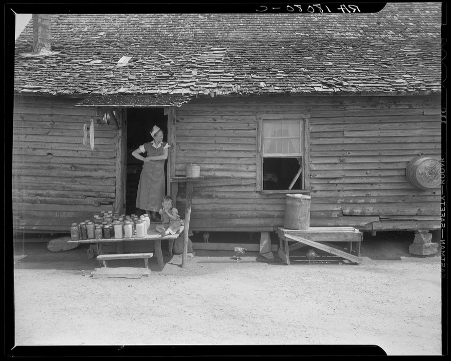
Lange, Dorothea, photographer, 1937. Library of Congress
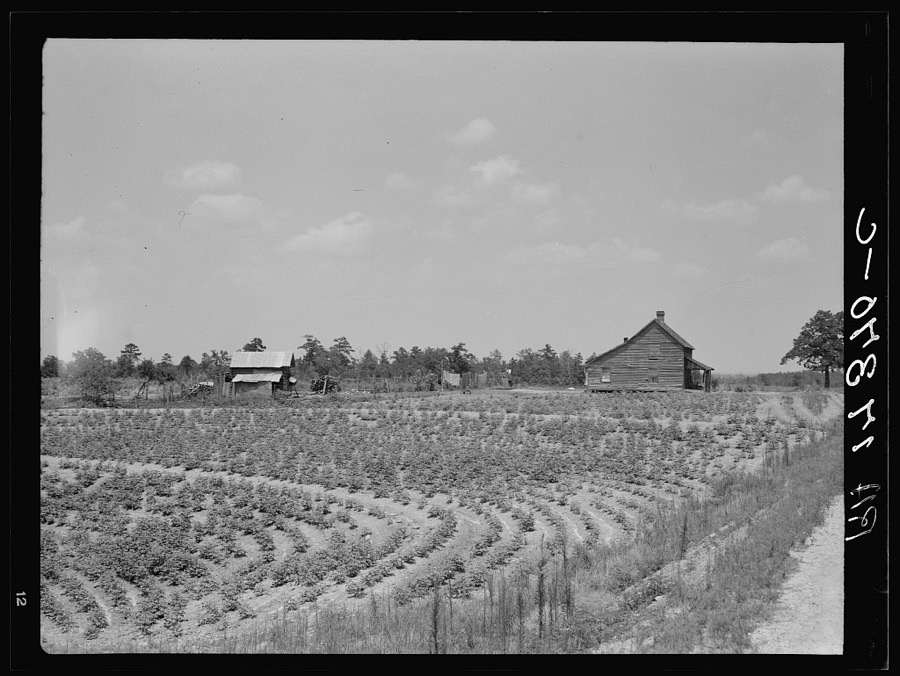
Lange, Dorothea, photographer, 1937. Library of Congress
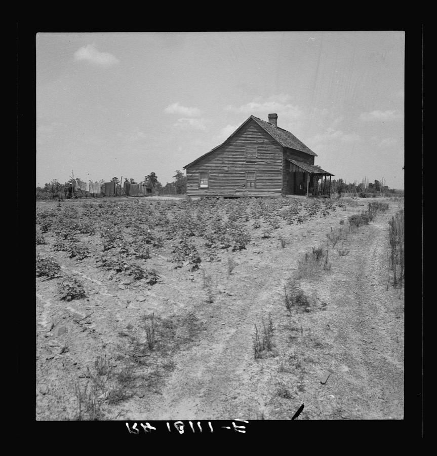
Lange, Dorothea, photographer, 1937. Library of Congress
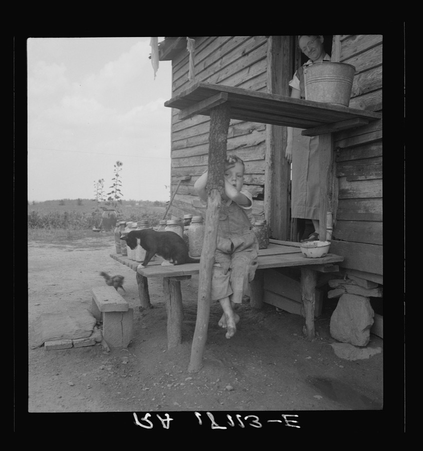
Lange, Dorothea, photographer, 1937. Library of Congress
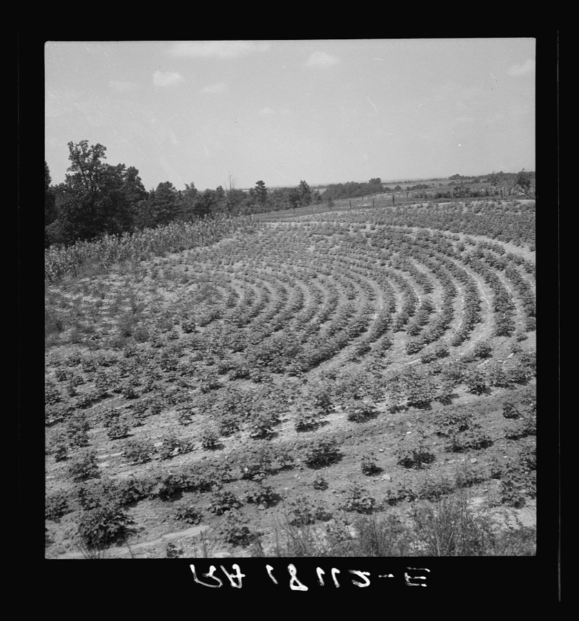
Lange, Dorothea, photographer, 1937. Library of Congress
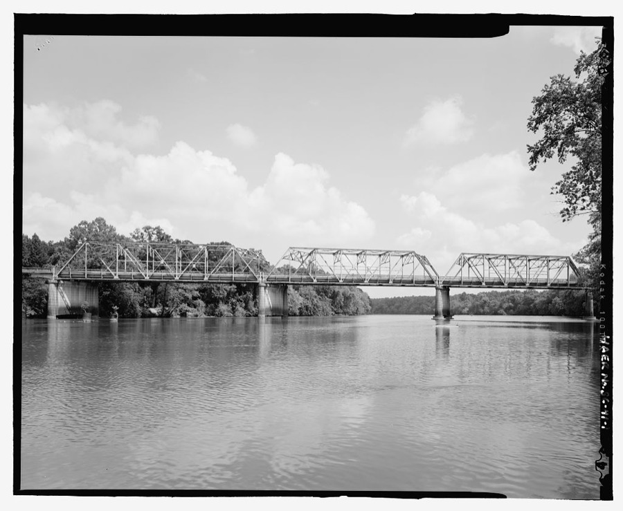
Photographer not recorded. Library of Congress
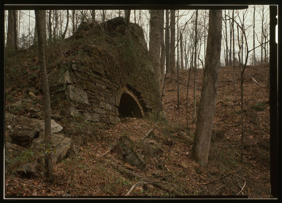
Photographer not recorded. Library of Congress
Fires near this place
250 since 1992Regional context, not property-specific evidence. The federal wildfire occurrence database lists 250 fires within 5 miles of Gaffney between 1992 and 2020, burning about 863 acres in total. 3 started naturally. 14 were recorded as arson. Distance is straight-line from the map coordinates, so a fire counted here may appear on a neighbouring settlement's page as well.
| Reported cause | Fires |
|---|---|
| Missing data/not specified/undetermined | 142 |
| Debris and open burning | 40 |
| Misuse of fire by a minor | 18 |
| Equipment and vehicle use | 14 |
| Arson/incendiarism | 14 |
| Smoking | 7 |
| Recreation and ceremony | 5 |
| Railroad operations and maintenance | 5 |
| Natural | 3 |
| Other causes | 1 |
| Fireworks | 1 |
The most recent of them, most recent first, with the day each was reported and the service that recorded it.
| Date | Cause | Size | Reported by | Name on the report |
|---|---|---|---|---|
| 9 September 1992 | Missing data/not specified/undetermined | under an acre | South Carolina Forestry Commission | not named |
| 7 September 2007 | Equipment and vehicle use | 1.0 acres | South Carolina Forestry Commission | not named |
| 4 September 1999 | Debris and open burning | 5.0 acres | South Carolina Forestry Commission | not named |
| 3 September 1999 | Missing data/not specified/undetermined | 6.0 acres | South Carolina Forestry Commission | not named |
| 29 September 1993 | Missing data/not specified/undetermined | 2.0 acres | South Carolina Forestry Commission | not named |
| 25 September 1998 | Debris and open burning | under an acre | South Carolina Forestry Commission | not named |
| 23 September 2005 | Equipment and vehicle use | 1.0 acres | South Carolina Forestry Commission | not named |
| 23 September 1993 | Missing data/not specified/undetermined | under an acre | South Carolina Forestry Commission | not named |
Settlements close enough to share some of these fires:
Mines and quarries near this place
10 of 69 shownRegional context, not property-specific evidence. The federal mineral resources record lists 69 workings within 5 miles of Gaffney: 61 unknowns, 4 past producers, 3 producers, 1 prospect. 3 still produce. What was taken out: Iron, Gold, Clay, Thorium, REE. Distance is straight-line from the map coordinates, so a quarry counted here may appear on a neighbouring settlement's page as well.
| Where | Site | Commodity | Status | Recorded |
|---|---|---|---|---|
| Bennet Brick and Tile Company Mine | Sand and Gravel, Construction | Producer | ||
| Cameron Mine | Silver, Lead, Copper, Sulfur, Iron | Unknown | 1861 | |
| Cameron Mine | Silver, Lead, Copper | Unknown | 1850 | |
| Northern Trib Cherokee Creek Monazite Placer | Thorium, REE, Corundum, Gold, Tin | Unknown | 1910, 1911 | |
| Sullivan-Ballinger Farms | Manganese | Prospect | ||
| Thicketty Creek Monazite Placer Eastern Tributary | Thorium, REE, Tin, Corundum, Gold | Unknown | 1910, 1911 | |
| Unnamed Garnet Occurrence Gl-102 | Garnet | Unknown | Stratabound | |
| Unnamed Mica Prospect Gl - 052 | Mica | Unknown | 1931 | |
| Upper Cole Creek Monazite Placer | Thorium, REE, Gold, Corundum, Tin | Unknown | 1910, 1911 | |
| Draytonville Quarry | Stone, Dimension | Unknown | Metamorphosed Beds |
Storms near this place
60 of 139 shownRegional context, not property-specific evidence. The National Weather Service names Gaffney in 139 storm reports between 1993 and 2025: 81 thunderstorm wind, 43 hail, 9 lightning, 2 flash flood. The reports record 1 death and 2 injuries. Each account below is quoted exactly as the forecast office filed it, from the NOAA Storm Events Database, and each date opens the federal record of that event.
| When | Event | Place named | Harm | What the report says |
|---|---|---|---|---|
| May 2022 | Thunderstorm Wind | Gaffney | 1 killed, $100,000 | Multiple sources reported multiple trees blown down from the north side of Gaffney northeast along Highway 18. One tree fell on a house and another fell on a mobile home on E Jefferies St in Gaffney. A 78-year-old occupant of the mobile home was killed while sitting on the porch. |
| July 2012 | Lightning | Gaffney | 1 hurt | Lightning struck and critically injured a man working outdoors on North Granard St. |
| April 2023 | Lightning | Gaffney | 1 hurt | no account filed |
| June 2001 | Lightning | Gaffney | $1,000,000 | Lightning blew a transformer at a manufacturing plant, shutting it down for more than 24 hours and keeping 1000 employees off the job. |
| June 1994 | Hail | Gaffney | $500,000 | no account filed |
| June 1994 | Thunderstorm Wind | Gaffney | $500,000 | no account filed |
| June 2008 | Thunderstorm Wind | Gaffney | $100,000 | Numerous trees and power lines were blown down across northern and eastern sections of Gaffney. Three trees fell on and damaged 3 homes. Other trees fell on automobiles. About 10 outbuildings were detroyed in the parking lot of a retail store. Penny size hail was also reported. |
| May 2003 | Thunderstorm Wind | Gaffney | $100,000 | Numerous trees and power lines were blown down. Part of a roof was blown off a house in Blacksburg. A roof was blown off a building in Gaffney. |
| September 2004 | Tornado (F1) | Gaffney | $88,000 | This tornado destroyed a mobile home and blew down numerous trees and power lines. |
| July 2008 | Lightning | Gaffney | $50,000 | Lightning struck a home on highway 11, igniting a fire that destroyed half the home. |
| June 2004 | Lightning | Gaffney | $50,000 | Lightning ignited fires at 3 homes across the city. |
| July 2004 | Lightning | Gaffney | $50,000 | Lightning ignited a fire at a small house, destroying the house and much of its contents. |
| July 2003 | Thunderstorm Wind | Gaffney | $50,000 | A fallen tree destroyed a mobile home. |
| May 1994 | Thunderstorm Wind | Gaffney | $50,000 | Lightning set a home afire slightly injuring a man. Thunderstorm winds downed power lines and blew down some trees. |
| May 1993 | Thunderstorm Wind | Gaffney | $50,000 | Several thunderstorms became severe during the afternoon. A couple of storms became quite strong producing golf ball-size hail at Greenwood and near Clinton. This was the second major hail event of the season for both of these communities, although these storms did not affect as large an area as the earlier storms. As the storms moved east they produced more gusty winds than hail. The tin was torn off some barns near Reidville along with downed trees and in Cherokee County a number of trees were downed causing scattered power outages. The hail there, although plentiful, had decreased to less than severe size. |
| May 1996 | Thunderstorm Wind | Gaffney | $25,000 | no account filed |
| April 1998 | Thunderstorm Wind | Gaffney | $20,000 | no account filed |
| June 2008 | Lightning | Gaffney | $15,000 | Lightning struck a tree, which fell on and destroyed 2 vehicles. There was also minor damage to an adjacent home. |
| April 2003 | Lightning | Gaffney | $15,000 | no account filed |
| June 2023 | Thunderstorm Wind | Gaffney | $10,000 | Emergency manager reported multiple trees blown down in and around Gaffney, with one tree on a house. |
| August 2019 | Thunderstorm Wind | Gaffney | $10,000 | County comms reported multiple trees and power lines blown down with at least one tree on a home. |
| August 2008 | Heavy Rain | Gaffney | $10,000 | Very heavy rainfall combined with clogged storm drains to produce deep standing water in a neighborhood on the east side of Gaffney. A couple of automobiles were submerged. |
| July 2003 | Thunderstorm Wind | Gaffney | $10,000 | Numerous trees were snapped off or uprooted. Some trees fell on houses and barns. A barn had half of its roof blown off. The damage was concentrated in the State Line Road community. |
| October 2023 | Thunderstorm Wind | Gaffney | $5,000 | Emergency manager reported a large piece of metal roofing blown off a building at the intersection of Railroad Ave and Walnut St. |
| November 2003 | Thunderstorm Wind | Gaffney | $5,000 | Some trees were blown down. Two vehicles were damaged by fallen trees. An antenna was blown out of a support on a mobile home. |
| July 2002 | Thunderstorm Wind | Gaffney | $5,000 | The roof of a convenience store received some damage. |
| May 1995 | Thunderstorm Wind | Gaffney | $5,000 | Supercell thunderstorm which lasted for many hours developed west of Pickens and produced two tornadoes in the upstate. The first tornado was weak but still caused nuisance type damage - blowing out underpinning from mobile homes, blowing over sheds, etc. The second tornado which developed after the storm strengthened was a strong FO tornado and caused a fair amount of damage from Gaffney to Blacksburg. Inflow into the tornado blew down a storage building and knocked down some trees in the city of Gaffney. Along Interstate 85 the tornado's winds blew down some billboards, trees and power lines. Several people saw the tornado funnel. There were a number of reports of pea to marble-size hail with the storm. The supercell and its severe weather moved into North Carolina. |
| August 2003 | Heavy Rain | Gaffney | $5,000 | no account filed |
| August 2003 | Thunderstorm Wind | Gaffney | $2,000 | no account filed |
| June 1995 | Thunderstorm Wind | Gaffney | $2,000 | no account filed |
| January 2005 | Thunderstorm Wind | Gaffney | $1,000 | The underpinning was torn off of a mobile home, and power lines were blown down on Bonner Rd. |
| April 2002 | Thunderstorm Wind | Gaffney | $1,000 | Several trees were blown down across Sirrine Drive. |
| June 2002 | Thunderstorm Wind | Gaffney | $1,000 | Some powerlines were blown down. |
| May 2025 | Hail | Gaffney | - | Emergency manager reported pea to quarter size hail. |
| June 2025 | Thunderstorm Wind | East Gaffney | - | Emergency manager reported a few trees and powerlines blown down between East Gaffney and Cherokee Falls. |
| July 2024 | Thunderstorm Wind | Gaffney | - | County comms reported numerous trees and powerlines blown down across the city of Gaffney, with additional trees down in the Blacksburg area. |
| July 2023 | Thunderstorm Wind | Gaffney | - | Public reported (via Social Media) reported a tree and several large limbs blown down in Gaffney. |
| May 2022 | Thunderstorm Wind | Gaffney | - | County comms reported multiple trees and power lines blown down in the Gaffney area. |
| April 2020 | Hail | Gaffney | - | Amateur radio reported quarter size hail in downtown Gaffney. Media reported golf ball size hail in Blacksburg. |
| August 2019 | Thunderstorm Wind | Gaffney | - | County comms reported several trees blown down between Gaffney and Cowpens. |
| July 2015 | Thunderstorm Wind | Gaffney | - | Newspaper reported multiple trees blown down in Gaffney, including along Thompson St and E Jefferies St. |
| June 2013 | Thunderstorm Wind | Gaffney | - | A tree was blown down on a house on Woodside Dr and trees were blown down, blocking the road on Wilkinsville Highway about 3 miles southeast of Gaffney. |
| May 2012 | Thunderstorm Wind | Gaffney | - | Trees were blown down on Oneal St south of town. Trees were blown onto power lines on Frederick St and Union St in the city as well. |
| June 2011 | Thunderstorm Wind | Gaffney | - | Trees were blown down near the highway 29/105 intersection. |
| June 2010 | Thunderstorm Wind | Gaffney | - | Several trees blown down near the intersection of Gold Mine Rd and Draytonville Rd. |
| May 2010 | Thunderstorm Wind | Gaffney | - | Multiple trees and large limbs were blown down on Barclay Ave. A tree fell on a home near the Beech St intersection. Other trees were blown down along New St and Oneal St. |
| May 2010 | Hail | East Gaffney | - | Penny size hail was reported on I-85 at the Broad River bridge. |
| May 2010 | Hail | Gaffney | - | Dime size hail fell near the intersection of highways 18 and 105. |
| June 2010 | Thunderstorm Wind | Gaffney | - | Scattered trees were blown down in and around the city, including one on a home on Sycamore St. |
| June 2010 | Thunderstorm Wind | East Gaffney | - | Multiple trees were from down from the intersection of Grubb St and 13th St, to the intersection of Peoples Creek Rd and Draytonville Rd. One tree fell on a car on Peoples Creek Rd. Trees were also blown down on Ford Rd about 4 miles east of Gaffney. |
| July 2009 | Thunderstorm Wind | East Gaffney | - | A couple of trees were blown down at Teague St and highway 29. |
| July 2009 | Hail | Gaffney | - | Hail was reported at the intersection of highway 29 and Oneal St. |
| June 2008 | Thunderstorm Wind | Gaffney | - | Several tress were blown down around Gaffney. |
| June 2008 | Thunderstorm Wind | Gaffney | - | Trees were blown down on Holmes Rd. |
| March 2008 | Thunderstorm Wind | Gaffney | - | Trees blown down across highway 29 in the Thicketty community. |
| March 2008 | Thunderstorm Wind | Gaffney | - | A tree was blown onto a house on Florence St. Trees were downed on N Gate Rd at the Brookside Subdivision. A large tree blew down on Blackwell Rd, and trees were blown down in the Antioch community. |
| July 2008 | Thunderstorm Wind | Gaffney | - | Several trees were blown down. |
| July 2008 | Hail | Gaffney | - | Nickel size hail reported between Potter Rd and State Line Rd. |
| June 2007 | Thunderstorm Wind | Gaffney | - | Trees down in the area around Cowpens National Battlefield. |
| June 2006 | Thunderstorm Wind | Gaffney | - | Two trees blown down. |
Nearest settlements
The eight closest, with where each one stands in the county. Distances are straight-line, computed from the Geographic Names Information System coordinates.
| Map | Place | Distance | Sheets |
|---|---|---|---|
| East Gaffney | 1.1 miles | 16 | |
| Huntington | 1.2 miles | 16 | |
| Dogwood Park | 1.2 miles | 16 | |
| Quail Hollow | 1.3 miles | 16 | |
| Belmont Acres | 1.3 miles | 16 | |
| Arrowood | 1.3 miles | 16 | |
| Dogwood Springs Park | 1.3 miles | 16 | |
| Wood Haven Park | 1.4 miles | 16 |
Elsewhere
Matched on this settlement's Geographic Names Information System number rather than its name, so it cannot be a different place of the same name in another state.
| Wikipedia article on Gaffney | An encyclopaedic summary. Its text is share-alike, so it is linked here rather than copied. |
| Wikidata item Q1023649 | The structured record the population and elevation above come from. Public domain (CC0). |
Provenance
This settlement is recorded in the Geographic Names Information System as feature 1247855. The sheet list is computed by point-in-boundary test against the United States Geological Survey's historical topographic inventory. Both are works of the United States government and carry no copyright under 17 U.S.C. 105.
Wildfire. Short, Karen C. 2022. Spatial wildfire occurrence data for the United States, 1992-2020 [FPA_FOD_20221014]. 6th Edition. Fort Collins, CO: Forest Service Research Data Archive. https://doi.org/10.2737/RDS-2013-0009.6 Collected with United States Government funding and usable without additional permissions or fees.
Mines and quarries. USGS Mineral Resources Data System (MRDS) https://mrdata.usgs.gov/mrds/ A work of the United States government, no copyright under 17 U.S.C. 105.
Storms. NOAA National Centers for Environmental Information, Storm Events Database https://www.ncei.noaa.gov/stormevents/ A work of the United States government, no copyright under 17 U.S.C. 105. Narratives are quoted verbatim from the National Weather Service report and are not edited or summarised.