 Block
From the record
14 National Register listings published here.
Sources: the National Register database, National Park Service
65 topographic sheets and 12 fire insurance atlases across 2 places.
14 National Register listings published here.
Sources: the National Register database, National Park Service
Taken for the Office of War Information and the Farm Security Administration, who photographed the country between 1935 and 1944. Works of United States government photographers, with no known restriction on use. Each opens its catalogue record.
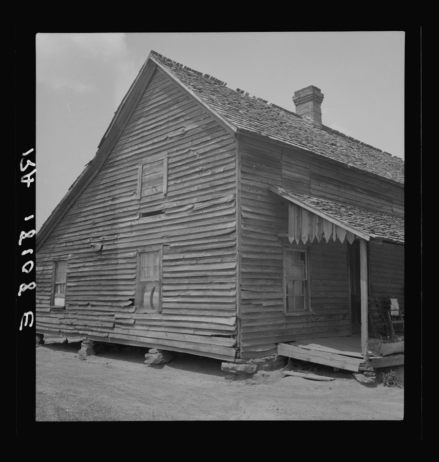
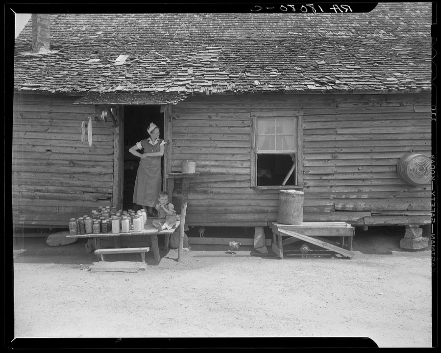
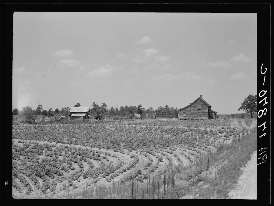
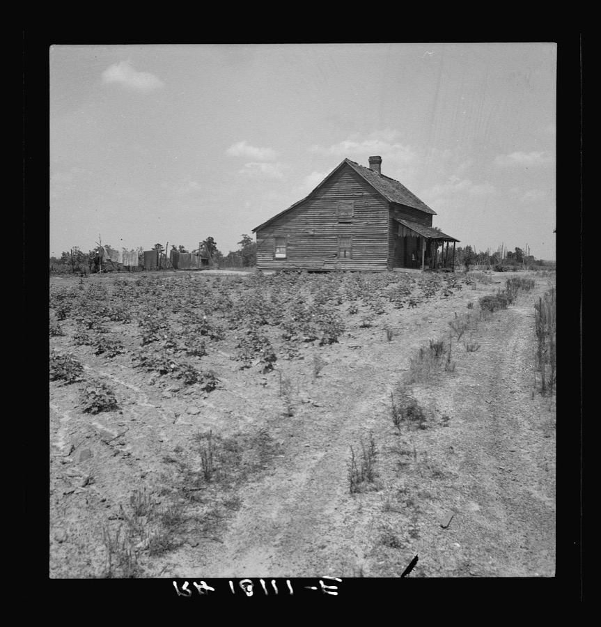
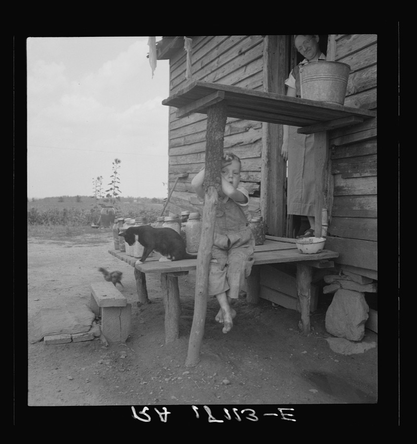
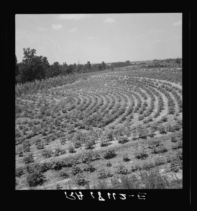
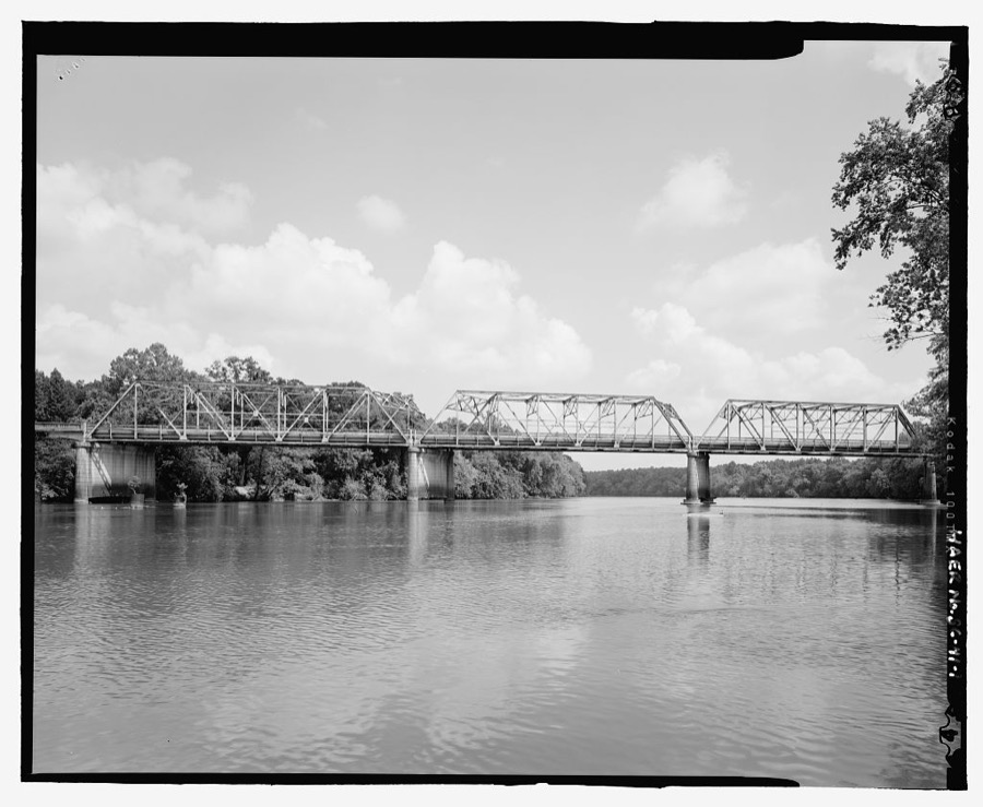
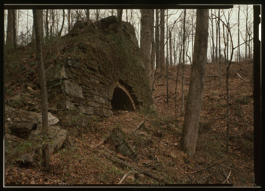
Every property in this county listed on the National Register of Historic Places, with the year it was listed and the federal nomination document.
| Photograph | Property | Type | Listed | Reference |
|---|---|---|---|---|
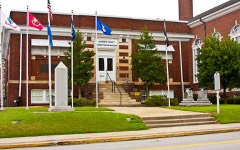 | Carnegie Free Library | building | 2000 | 00000587 |
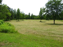 | Cowpens National Battlefield | district | 1966 | 66000072 |
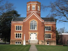 | Winnie Davis Hall | building | 1977 | 77001219 |
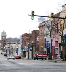 | Gaffney Commercial Historic District | district | 1986 | 86000602 |
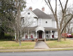 | Gaffney Residential Historic District | district | 1986 | 86000601 |
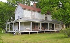 | Zeno Hicks House | district | 1989 | 89000002 |
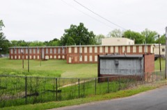 | Irene Mill Finishing Plant | building | 1986 | 86000591 |
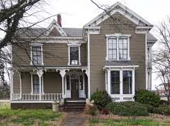 | Jefferies House | building | 1986 | 86000594 |
| Kings Mountain State Park Historic District | district | 2008 | 08000185 | |
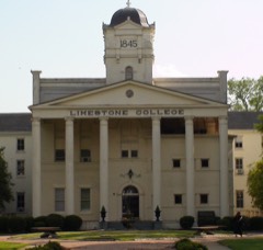 | Limestone Springs Historic District | district | 1986 | 86000597 |
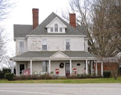 | Magness-Humphries House | building | 2001 | 01001159 |
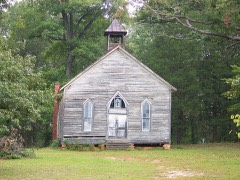 | Mulberry Chapel Methodist Church | building | 2012 | 12000370 |
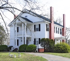 | Nuckolls-Jefferies House | building | 2007 | 07000336 |
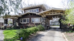 | Settlemyer House | building | 1986 | 86000598 |
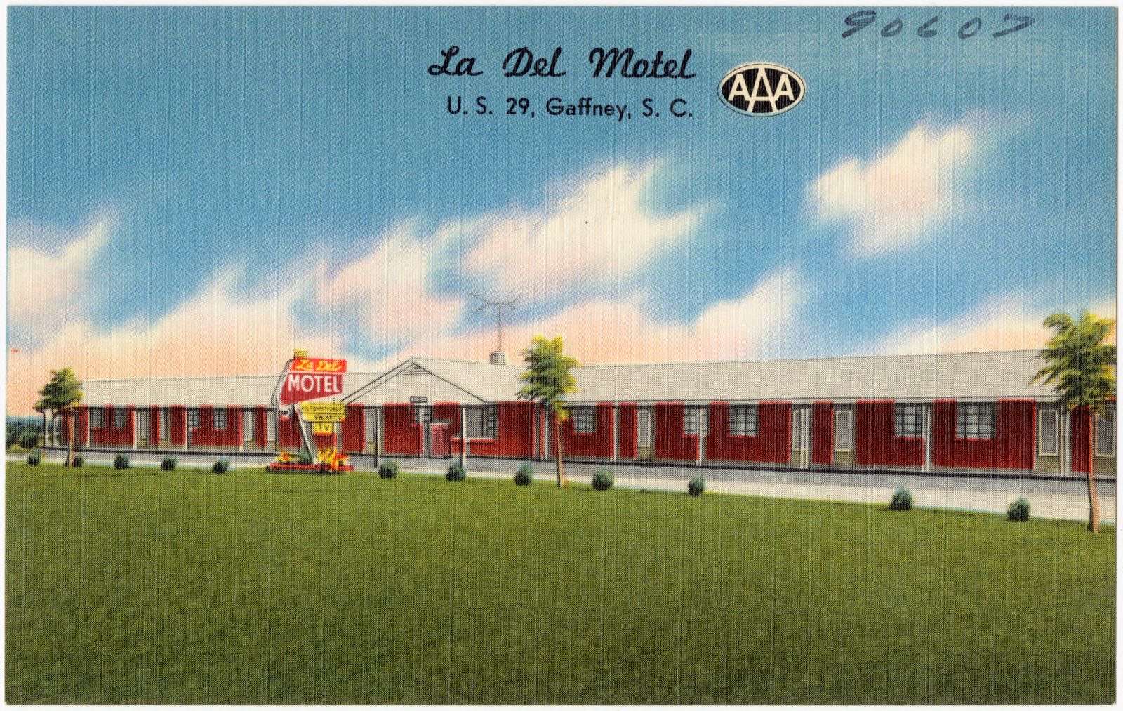
Selected from the Digital Public Library of America's 4 image records catalogued for this county. Every one shown here carries a public-domain status or a licence that permits reuse on a site that carries advertising; non-commercial, share-alike and restricted images are excluded. The selection is spread across the county's towns (at most eight per town), so no single institution's bulk upload crowds out the rest. Each opens the holding library's record, and the complete set at the Digital Public Library of America is one click away.
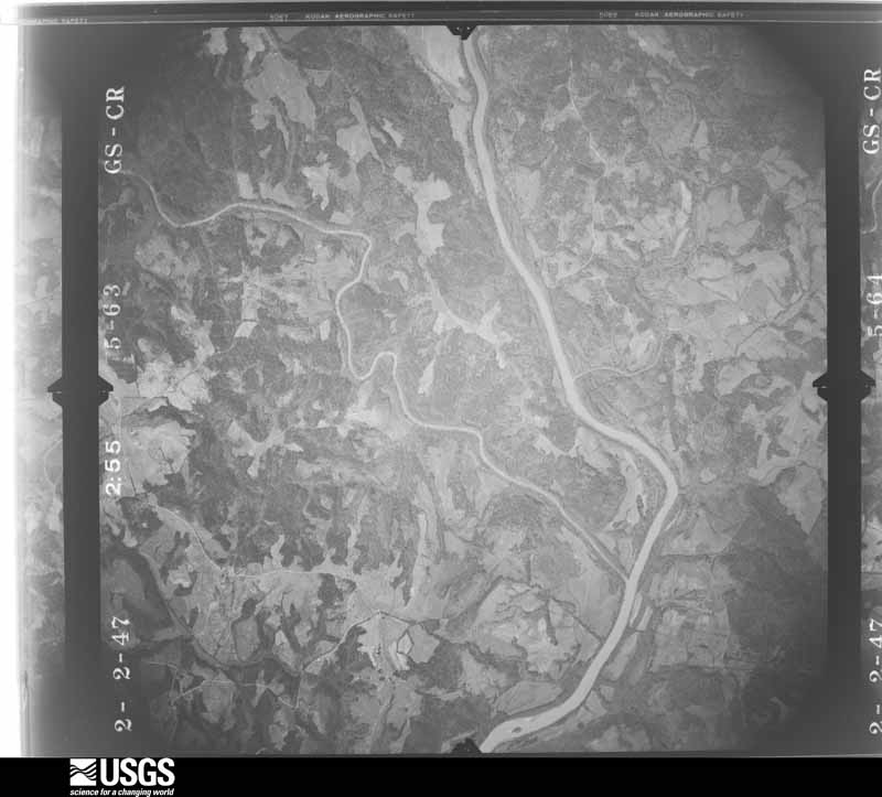
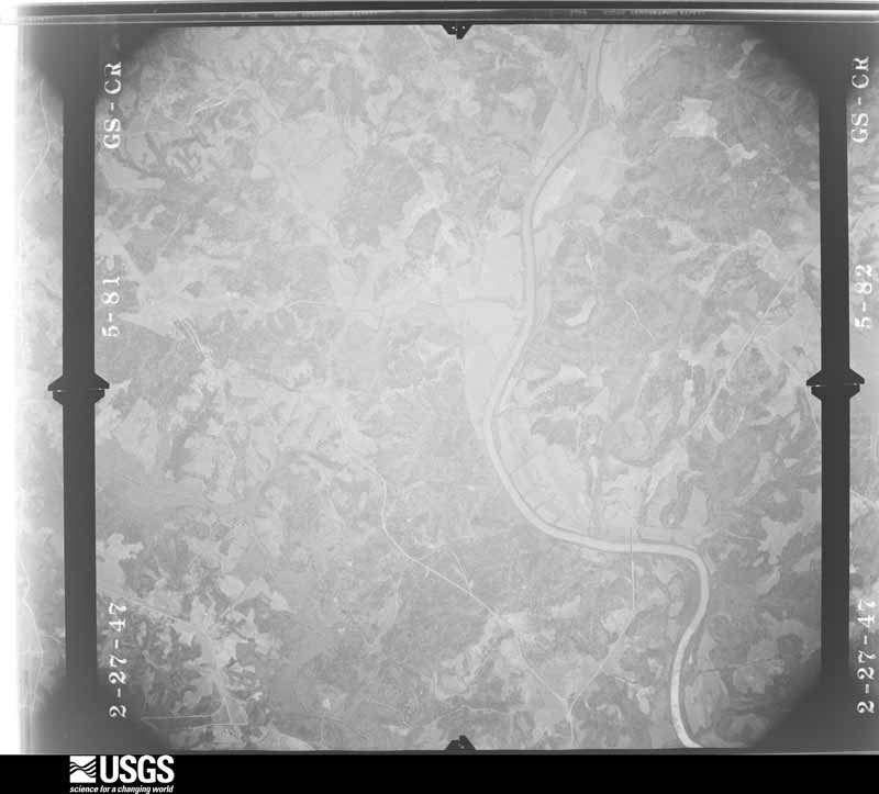
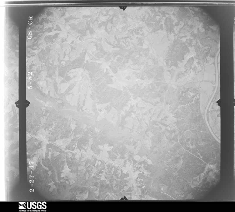
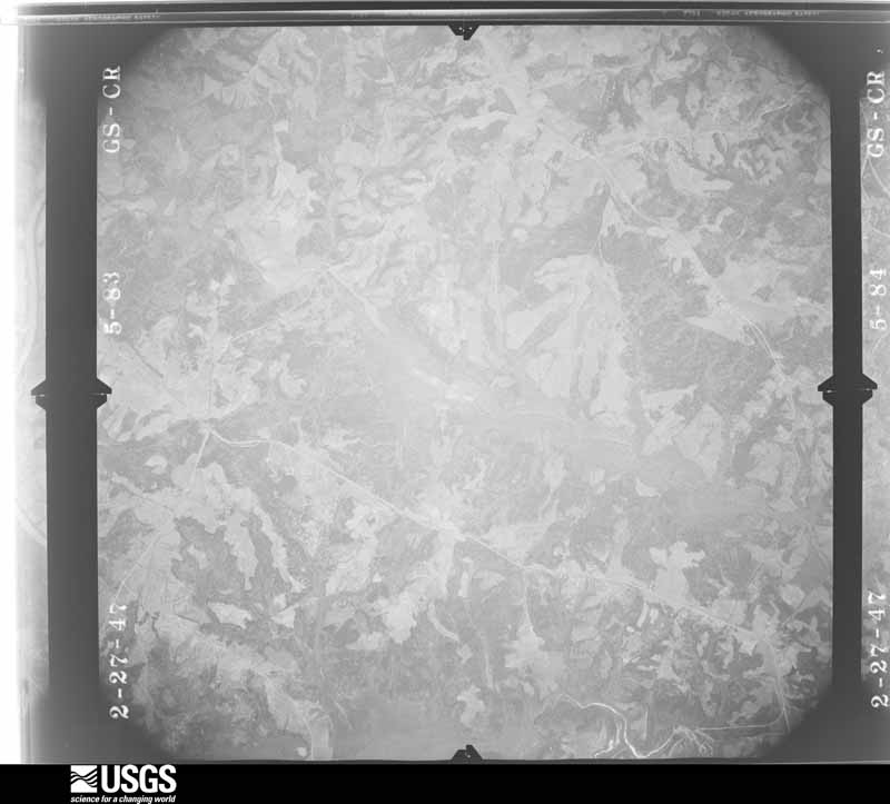
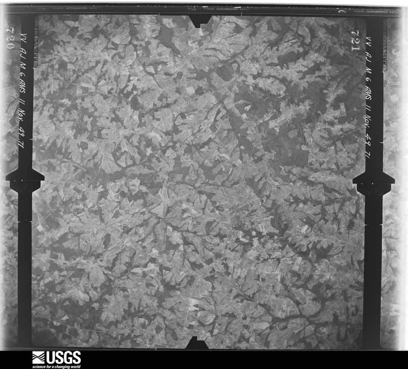
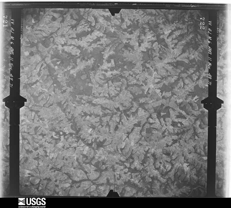
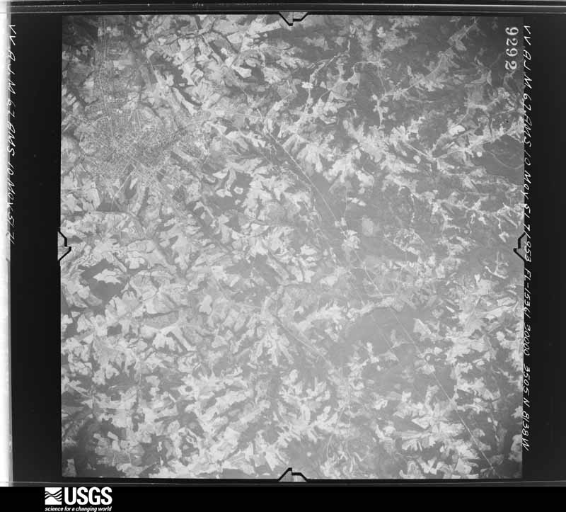
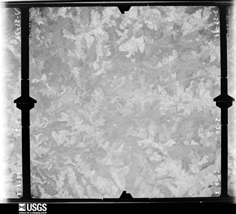
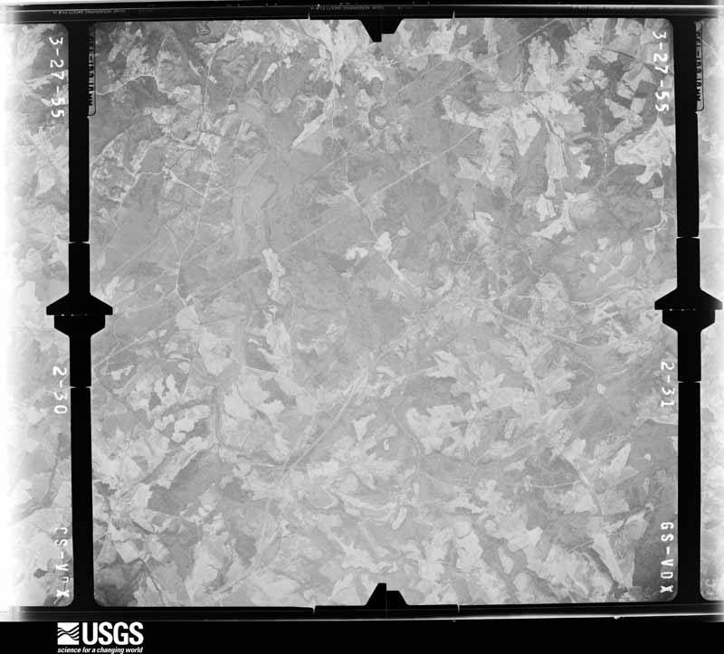
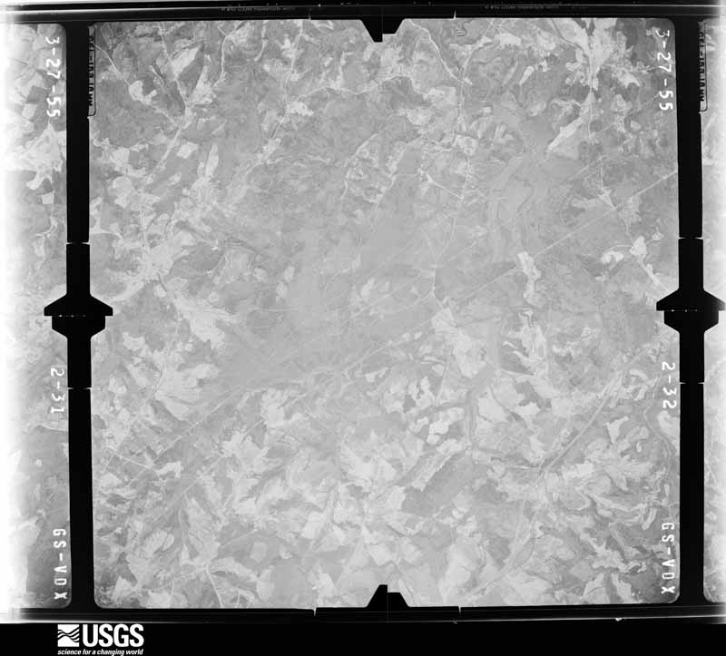
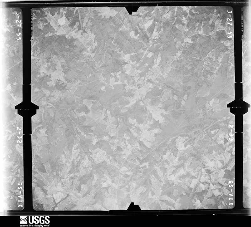
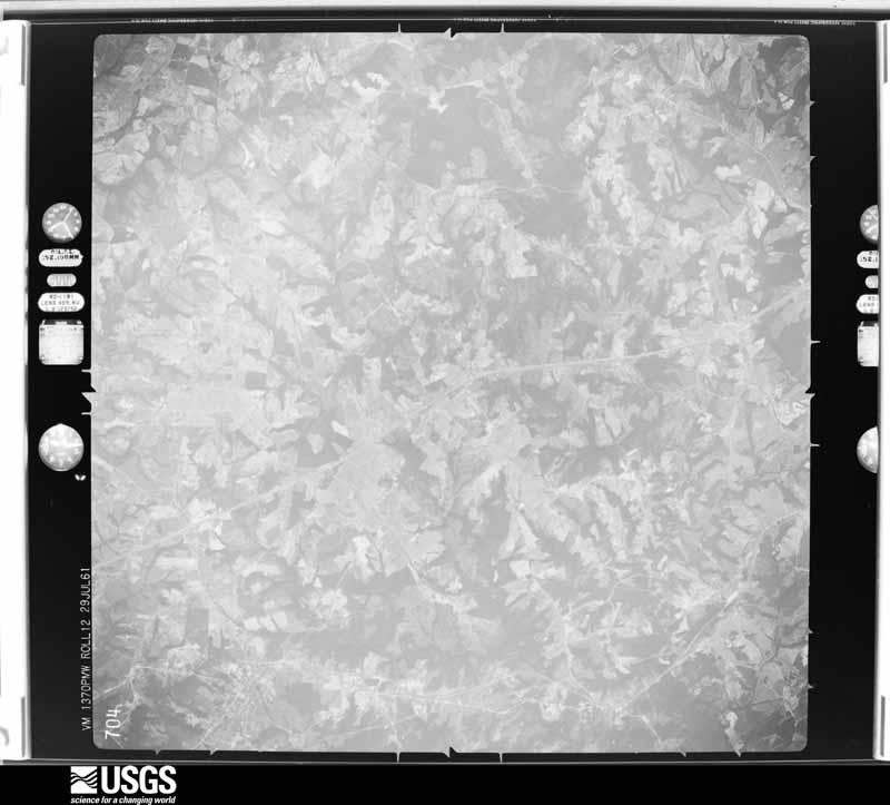
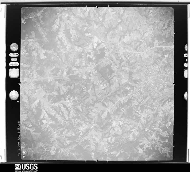
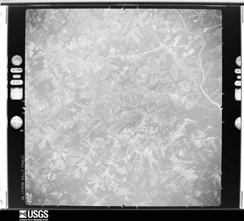
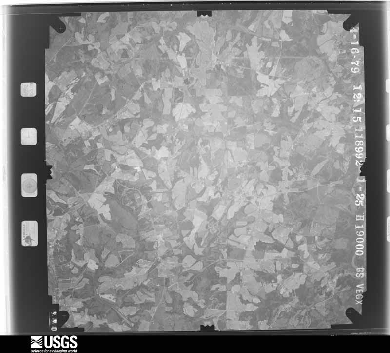
Flown by the U.S. Geological Survey between 1937 and 1989, the Aerial Photo Single Frames collection is the definitive mid-century view of the land: fields, roads and rivers as the camera saw them. The Survey holds 1,123 frames inside the rectangle that bounds this county; the 43 frames below were taken over the county itself, chosen across the decades of flights (at most four a year from that rectangle), so one flight cannot crowd out the rest. The full set is free to browse and download at EarthExplorer under the dataset Aerial Photo Single Frames.
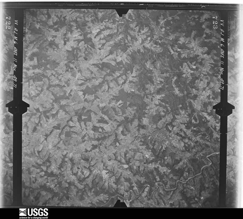
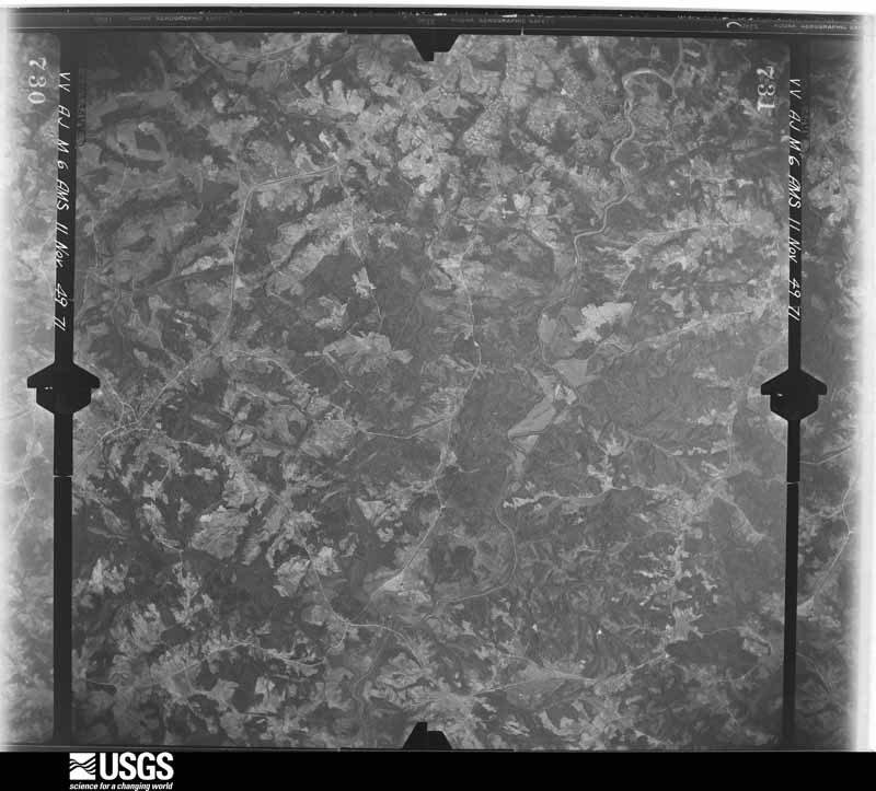
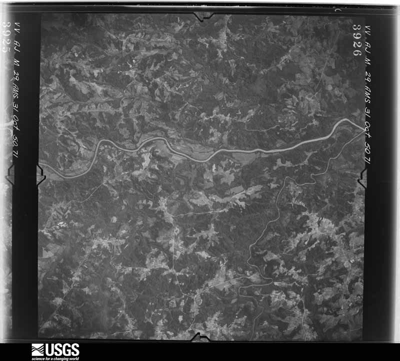
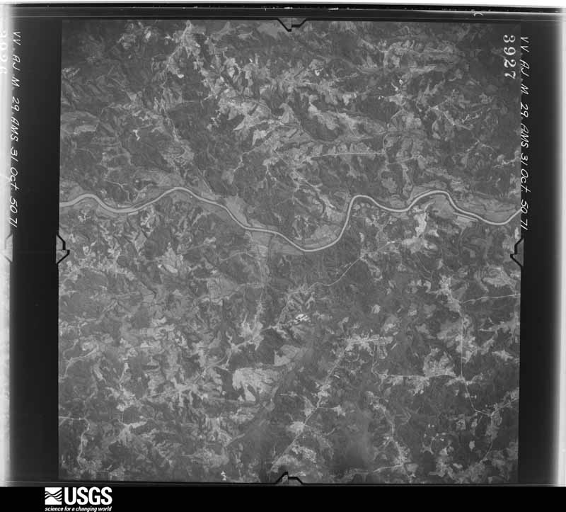
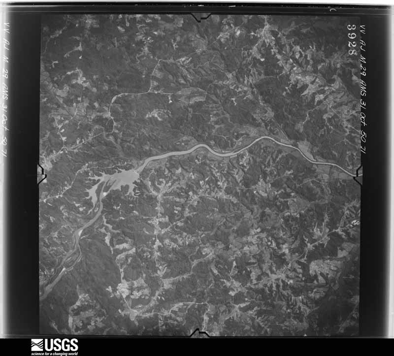
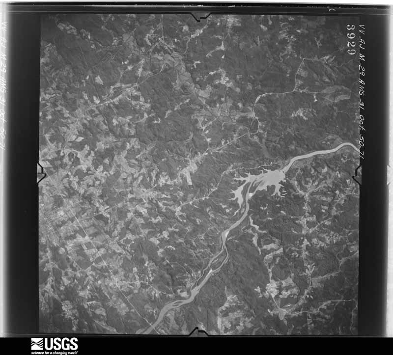
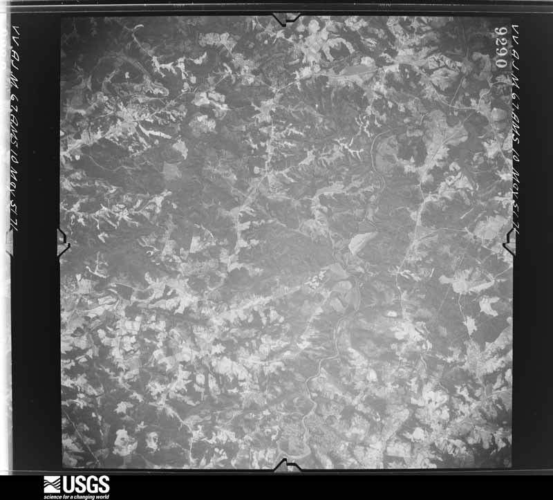
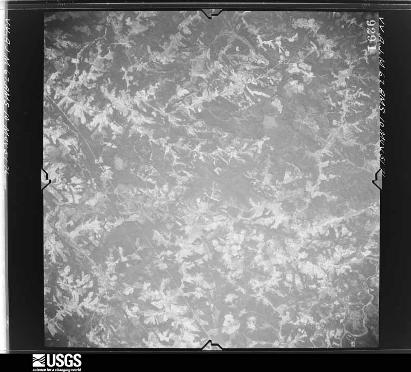
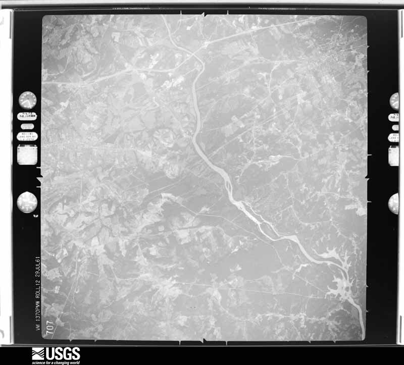
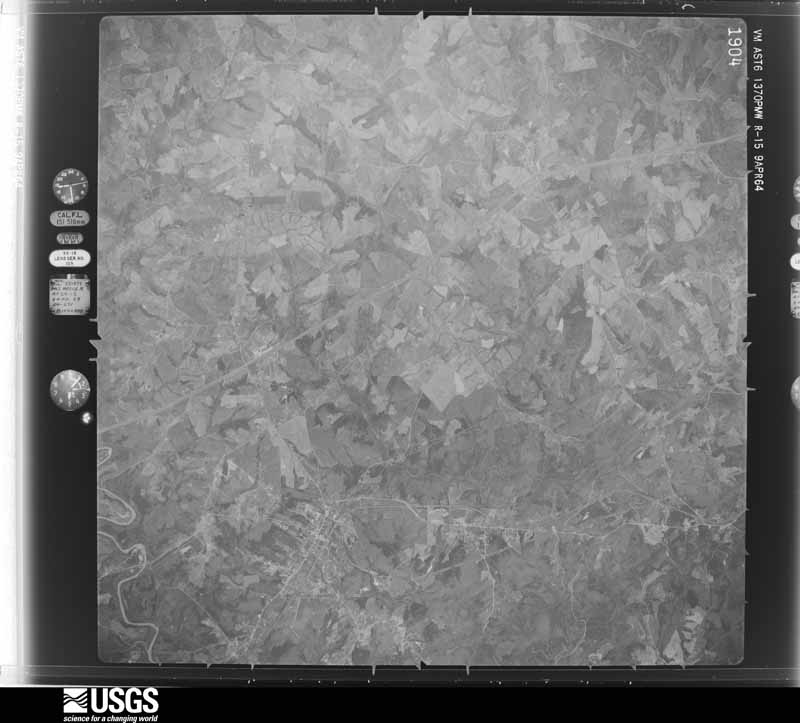
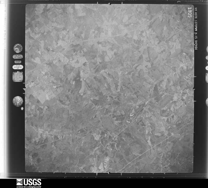
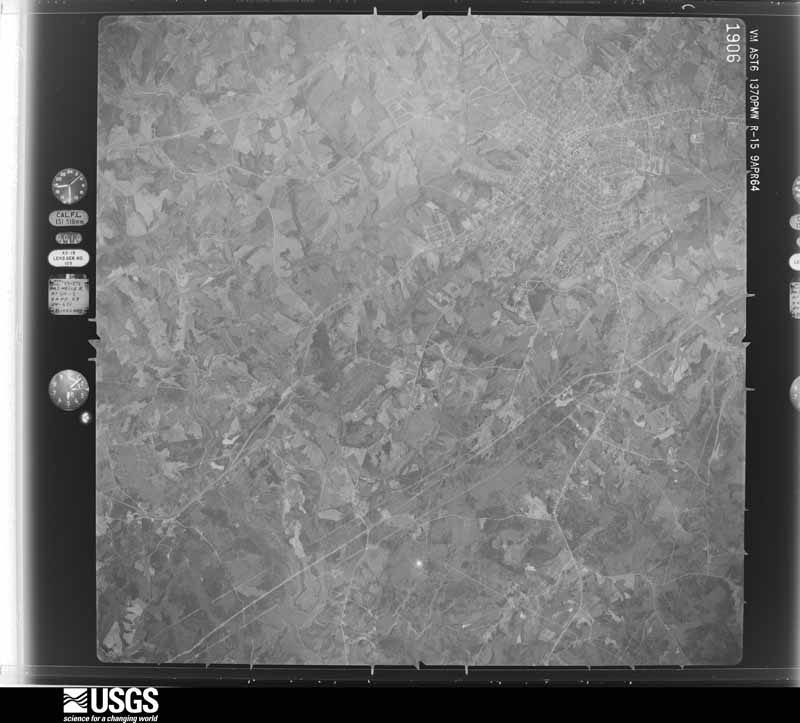
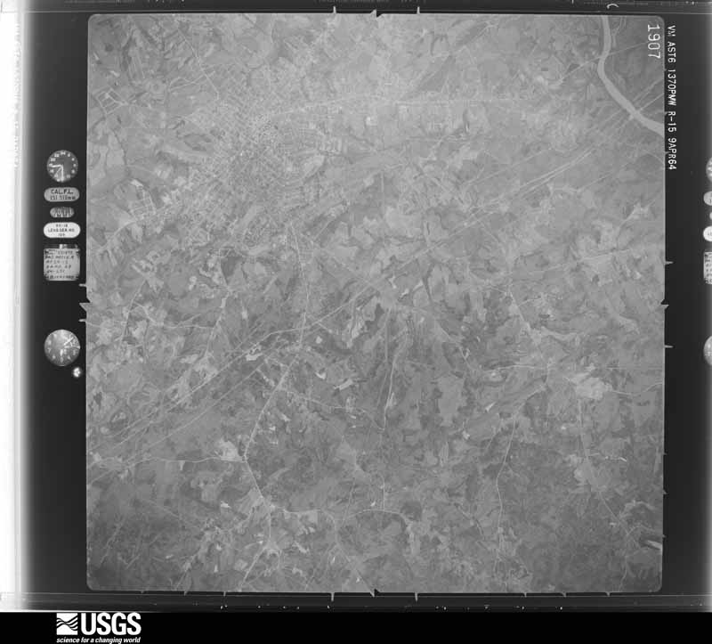
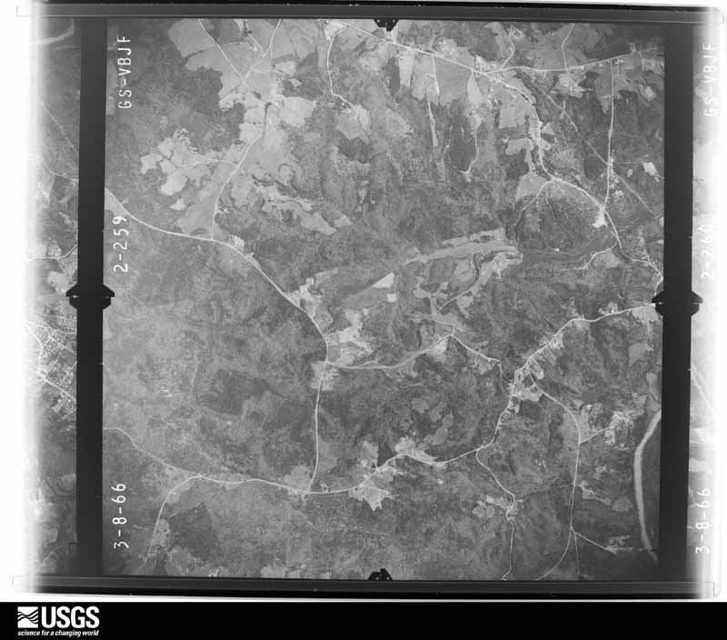
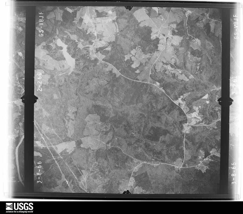
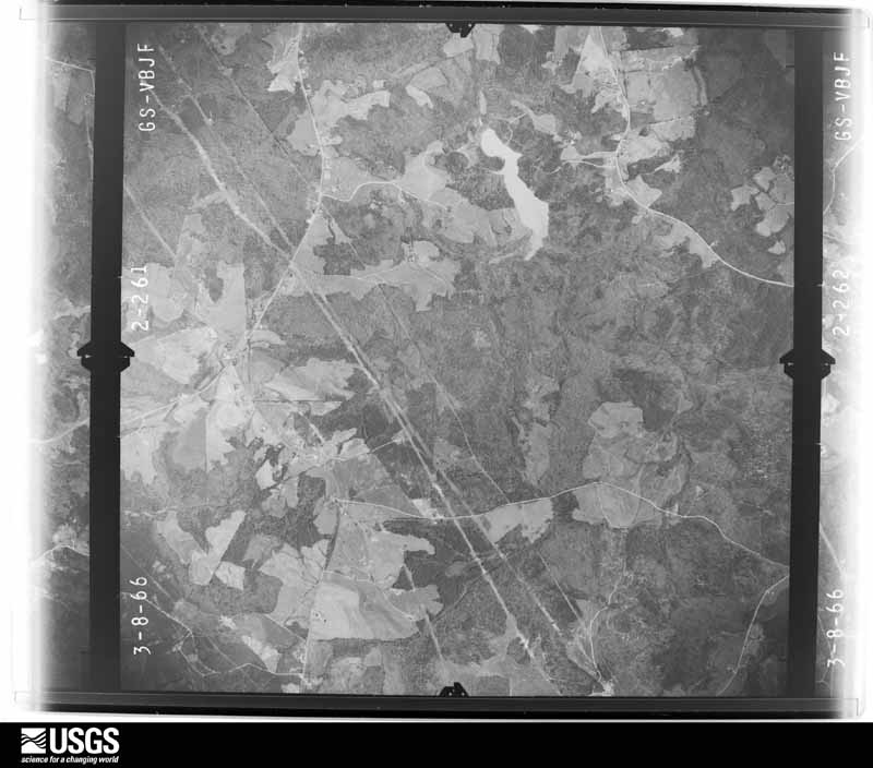
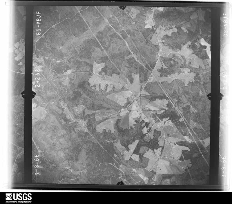
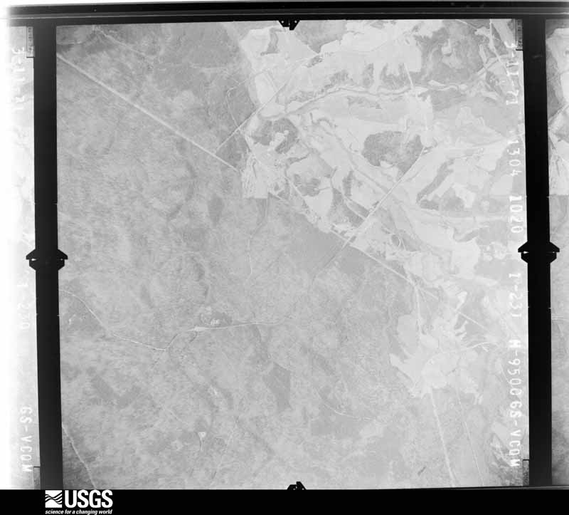
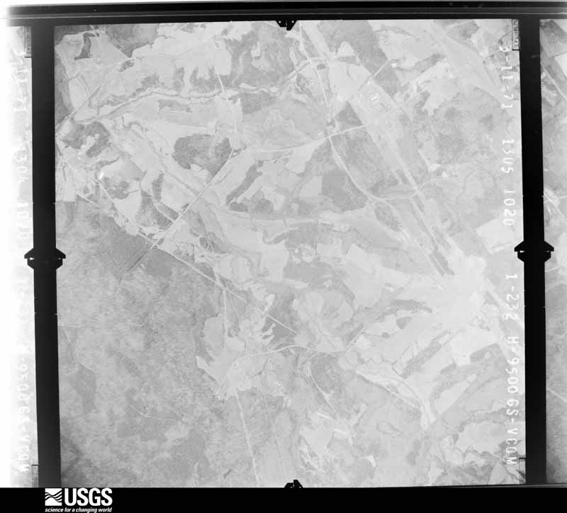
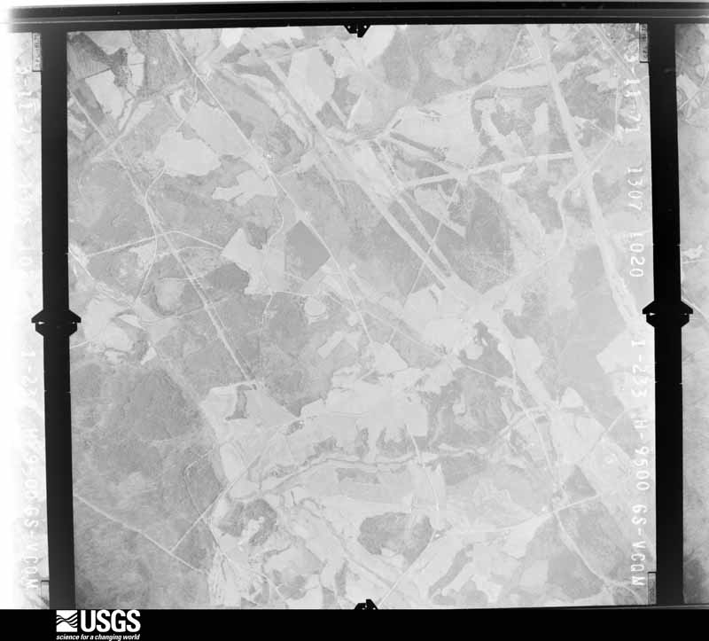
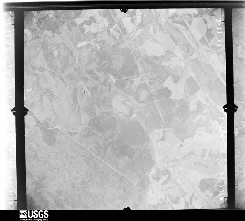
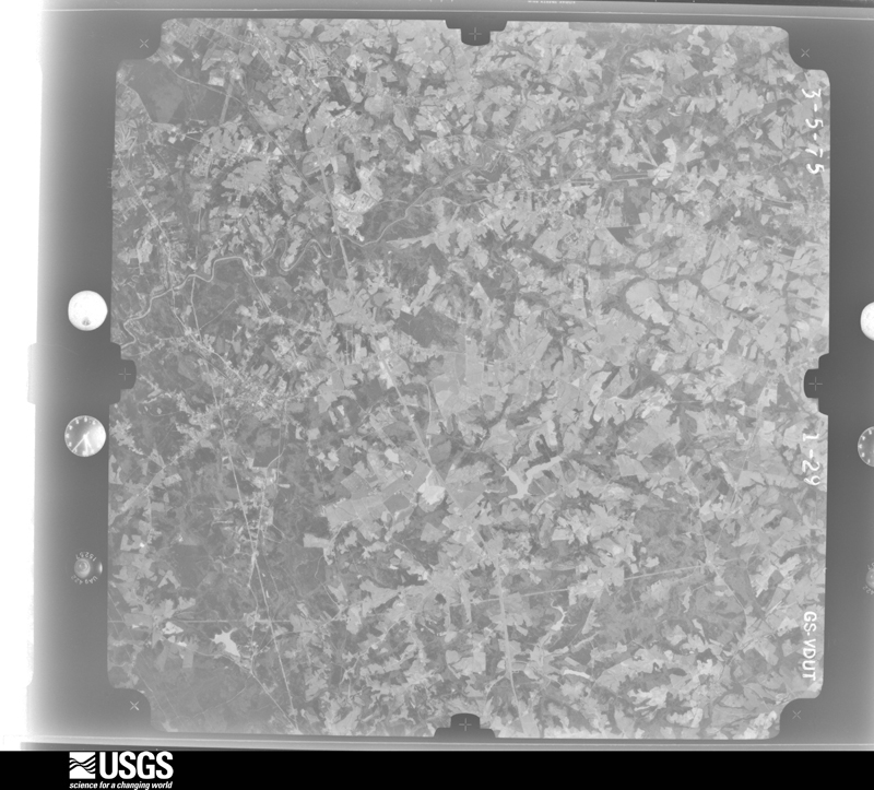
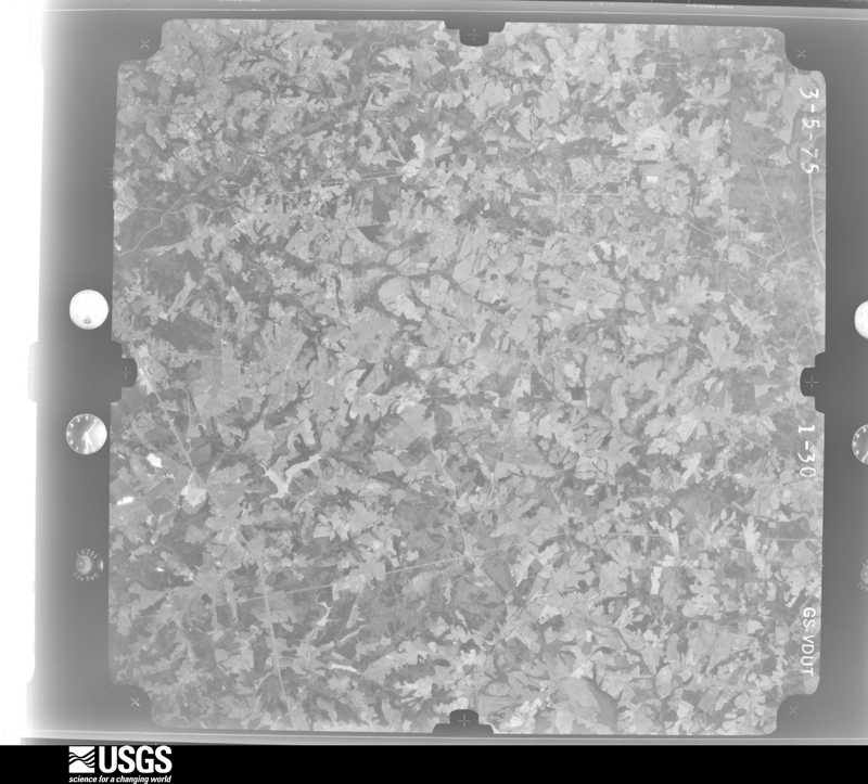
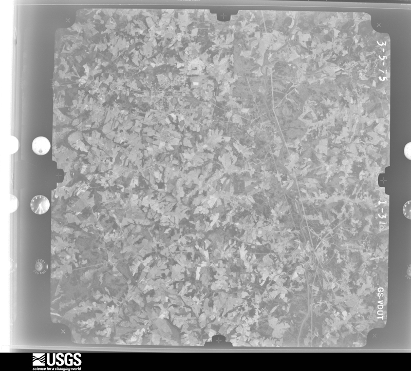
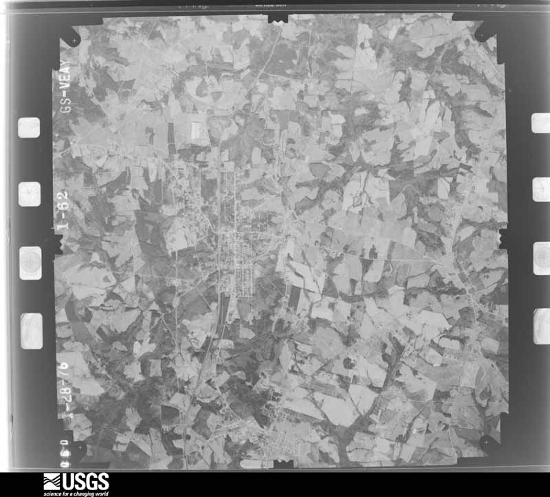
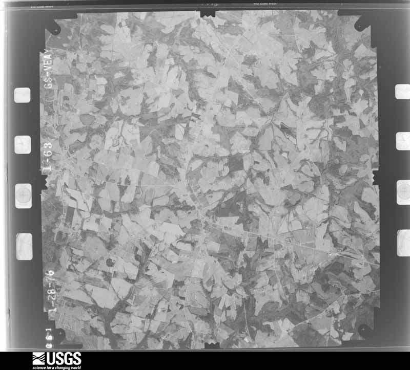
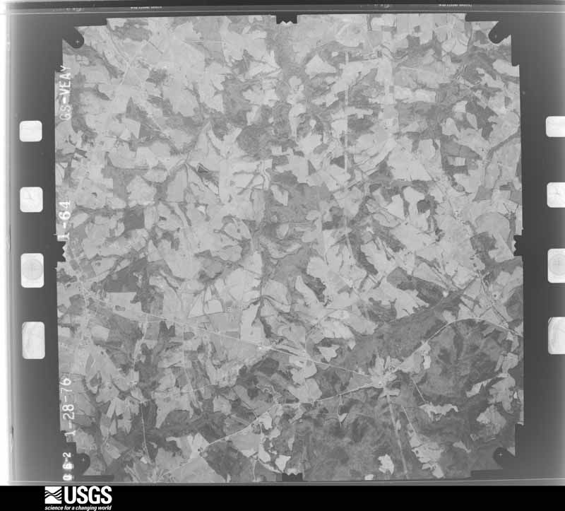
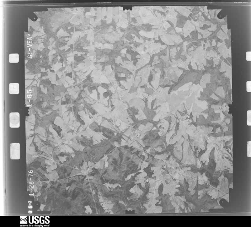
The thermometers that kept this county's weather, and the gages that measured the flow of its streams, as the federal records hold them. The extremes below are measured values from those records, not estimates.
Who lived here in 1950, one enumeration district at a time, as the Census Bureau described each district. Each row opens its official National Archives result, with Population Schedules and ED Maps available there.
Every wildfire the federal occurrence database records inside this county: 941 of them, burning about 3,823 acres. 20 started naturally and 83 were recorded as arson. Each settlement page carries the fires within five miles of it.
| Reported cause | Fires |
|---|---|
| Missing data/not specified/undetermined | 464 |
| Debris and open burning | 169 |
| Arson/incendiarism | 83 |
| Equipment and vehicle use | 69 |
| Misuse of fire by a minor | 53 |
| Smoking | 39 |
| Natural | 20 |
| Recreation and ceremony | 18 |
| Other causes | 11 |
| Railroad operations and maintenance | 10 |
| Power generation/transmission/distribution | 3 |
| Fireworks | 2 |
The five largest, by the area the report gives. One of them was set deliberately.
| Date | Cause | Size | Reported by | Name on the report |
|---|---|---|---|---|
| 5 December 2000 | Arson/incendiarism | 165 acres | South Carolina Forestry Commission | not named |
| 25 April 1992 | Natural | 116 acres | Kings Mountain National Military Park | GARNER BR |
| 19 April 1999 | Recreation and ceremony | 80 acres | South Carolina Forestry Commission | not named |
| 8 March 1994 | Missing data/not specified/undetermined | 50 acres | South Carolina Forestry Commission | not named |
| 4 February 1992 | Missing data/not specified/undetermined | 40 acres | South Carolina Forestry Commission | not named |
| 14 July 2016 | Natural | 40 acres | South Carolina Forestry Commission | not named |
| 5 July 1993 | Missing data/not specified/undetermined | 35 acres | South Carolina Forestry Commission | not named |
| 15 August 1999 | Missing data/not specified/undetermined | 35 acres | South Carolina Forestry Commission | not named |
Every settlement page carries the fires within five miles of it - see the settlement index below.
The NOAA Storm Events Database holds 417 reports for this county, causing 2 deaths, 11 injuries and about $10,939,250 in recorded property damage. Each settlement page carries the reports that name it.
| Kind of event | Reports |
|---|---|
| Thunderstorm Wind | 251 |
| Hail | 119 |
| Tornado | 19 |
| Lightning | 13 |
| Flash Flood | 9 |
| Heavy Rain | 4 |
| Funnel Cloud | 1 |
| Flood | 1 |
The most serious of them, by death, then injury, then recorded damage. The accounts are quoted exactly as the forecast office filed them.
| When | Event | Place named | Harm | What the report says |
|---|---|---|---|---|
| May 2022 | Thunderstorm Wind | Gaffney | 1 killed, $100,000 | Multiple sources reported multiple trees blown down from the north side of Gaffney northeast along Highway 18. One tree fell on a house and another fell on a mobile home on E Jefferies St in Gaffney. A 78-year-old occupant of the mobile home was killed while sitting on the porch. |
| July 2013 | Thunderstorm Wind | Thicketty | 1 killed | Multiple trees were blown down from the Thicketty community, across Gaffney to the Blacksburg area. One large tree limb fell on and killed a 34-year old man standing in front of his house on 7th St in Gaffney. |
| May 1973 | Tornado (F3) | not stated | 4 hurt, $2,500,000 | no account filed |
| July 2005 | Lightning | Blacksburg | 2 hurt | County reported lightning struck a tree, which then fell on and injured an 8-year-old female and a 12-year-old female. The injuries were not serious. |
| December 1977 | Tornado (F1) | not stated | 1 hurt, $25,000 | no account filed |
| July 2012 | Lightning | Gaffney | 1 hurt | Lightning struck and critically injured a man working outdoors on North Granard St. |
| May 2011 | Thunderstorm Wind | Blacksburg | 1 hurt | Numerous trees were blown down from northeast of Gaffney to the Ninety Nine Islands Reservoir. Damage was most concentrated in the Kings Creek area in the eastern part of the county where several homes and at least one car were damaged by falling trees. One man on McGill Rd in the Kings Creek area sustained minor injuries when a tree fell on his house. |
| April 2023 | Lightning | Gaffney | 1 hurt | no account filed |
| May 1996 | Lightning | Blacksburg | 1 hurt | no account filed |
| May 1989 | Tornado (F4) | not stated | $2,500,000 | no account filed |
| June 2001 | Lightning | Gaffney | $1,000,000 | Lightning blew a transformer at a manufacturing plant, shutting it down for more than 24 hours and keeping 1000 employees off the job. |
| August 1994 | Tornado (F2) | Blacksburg to | $500,000 | This tornado caused substantial damage to homes and a couple of churches. It crossed Interstate 85 and then moved into North Carolina. The vortex was clearly visible to many people in the area as it moved along the base of a small mountain at Blacksburg. |
| August 1994 | Tornado (F1) | Cowpens | $500,000 | This tornado touched down briefly and caused severe damage to a large well-constructed home. Otherwise, damage was limited to trees, powerlines, and outbuildings. The tornado moved northwest along a 3-mile track before dissipating. |
| June 1994 | Hail | Gaffney | $500,000 | no account filed |
| June 1994 | Thunderstorm Wind | Gaffney | $500,000 | no account filed |
| June 1994 | Hail | of Gaffney | $500,000 | no account filed |
| October 2017 | Tornado (EF2) | Grassy Pond | $250,000 | NWS storm survey found the path of a strong tornado that touched down near the intersection of Farmington Rd and Meadowview Rd, with damage initially confined to downed trees. The tornado moved north/northeast to the|intersection of Fairview Rd and Highway 11, where two homes sustained EF2 damage, with much of the roofs of both homes removed. The tornado appeared to weaken northeast of this location, with damage confined mainly to minor structural damage and downed trees and power lines until it reached the area near the intersection of Furnace Mill Rd and Robb School Rd. A frame home slid off its foundation on W Diesel Dr, resulting in virtual destruction of the home. The path of the tornado through this area was less than 1000 ft west of a short track tornado that impacted the area around Robb School Rd and Twin Bridge Rd on October 8th 2017. The tornado weakened again from there, with damage confined to downed trees and tree limbs as it moved into Cleveland County between Twin Bridges Rd and McCraw Rd. |
| February 1990 | Tornado (F1) | not stated | $250,000 | no account filed |
| June 2008 | Thunderstorm Wind | Gaffney | $100,000 | Numerous trees and power lines were blown down across northern and eastern sections of Gaffney. Three trees fell on and damaged 3 homes. Other trees fell on automobiles. About 10 outbuildings were detroyed in the parking lot of a retail store. Penny size hail was also reported. |
| May 2003 | Thunderstorm Wind | Gaffney | $100,000 | Numerous trees and power lines were blown down. Part of a roof was blown off a house in Blacksburg. A roof was blown off a building in Gaffney. |
| September 2004 | Tornado (F1) | Gaffney | $88,000 | This tornado destroyed a mobile home and blew down numerous trees and power lines. |
| July 2023 | Thunderstorm Wind | Grassy Pond | $75,000 | County comms and emergency manager reported a wide swath of wind damage across western Cherokee County, from Cowpens National Battlefield, across the Macedonia and Thicketty communities. The most significant damage was in Macedonia, where numerous trees were blown down and minor structural damage occurred to several homes and a church. |
| August 2008 | Heavy Rain | Kings Creek | $75,000 | Elevated stream levels on Kings Creek caused a debris dam to form beneath a bridge on Old Chester Road on the York County line. The bridge pilings were damaged, eventually causing one lane of the bridge to collapse. |
| May 1995 | Tornado (F0) | Gaffney to | $70,000 | Supercell thunderstorm which lasted for many hours developed west of Pickens and produced two tornadoes in the upstate. The first tornado was weak but still caused nuisance type damage - blowing out underpinning from mobile homes, blowing over sheds, etc. The second tornado which developed after the storm strengthened was a strong FO tornado and caused a fair amount of damage from Gaffney to Blacksburg. Inflow into the tornado blew down a storage building and knocked down some trees in the city of Gaffney. Along Interstate 85 the tornado's winds blew down some billboards, trees and power lines. Several people saw the tornado funnel. There were a number of reports of pea to marble-size hail with the storm. The supercell and its severe weather moved into North Carolina. |
| July 2005 | Thunderstorm Wind | Blacksburg | $55,000 | Numerous trees down, with at least one on a home. Also, the roof of the high school gym was damaged by the wind, causing part of the roof to collapse. |
| January 2024 | Flash Flood | Grassy Pond | $50,000 | Multiple sources reported flash flooding developed across mainly northern Cherokee County after 3 to 5 inches of rain fell across the area in around 12 hours. Numerous roads were inundated due to stream flooding or poor drainage. Impacted streams included the Broad River near Blacksburg, which exceeded minor flood stage, indicating inundation of Little Hope Rd and River Rd. Emergency manager reported that more than two dozen roads were damaged or inundated throughout the county, including Mill Gin Rd in the northwest part of the county, which was flooded by Cherokee Creek. A number of water rescues occurred including a driver from a vehicle that was being swept away, and about 20 people who were evacuated from an apartment complex west of Blackburg. |
| August 2024 | Thunderstorm Wind | Blacksburg | $50,000 | Emergency manager reported multiple trees blown down in the Blacksburg area, with some on houses and roads. |
| June 2022 | Thunderstorm Wind | Thicketty | $50,000 | Emergency manager reported numerous trees blown down throughout Cherokee County, with some trees down on houses. |
| February 2020 | Flash Flood | Grassy Pond | $50,000 | Stream gauges and EM reported flash flooding developed across Cherokee County after 4 to 6 inches of rain fell throughout the area in 24 hours, with much of that falling during the morning into the afternoon of the 6th. A stream gauge on the Broad River near Blacksburg indicated rapid rise of the stream, and rare flash flooding along a main stem river. Multiple roads were inundated, including Wolf Den Ln, Little Hope Rd, and River Rd. Multiple smaller streams also overflowed their banks and washed out roads, including Cherokee Creek Rd, Vermont Dr, and Lisas Ln, where two families were briefly trapped. |
| February 2020 | Flood | Grassy Pond | $50,000 | Although heavy rainfall tapered off across Cherokee County throughout the afternoon, high water conditions persisted due to runoff. This included moderate, record flooding along the Broad River. Multiple low-lying roads were inundated, including Little Hope Rd and River Rd, as was the Cherokee Ford Rec Area. The stream gauge at Blacksburg indicated the river reached its highest level since at least 1997. |
| July 2012 | Thunderstorm Wind | Thicketty | $50,000 | Numerous trees and power lines were blown down across the area. One tree fell on a mobile home on Corinth Rd, briefly trapping an occupant. At least 3 homes had trees on them with occupants trapped and a mobile home was shifted off its foundation along Pondfield. In addition, the porch and underpinnings of a mobile home were damaged and part of a tin roof peeled off a barn on Childers Rd. |
| July 2008 | Lightning | Gaffney | $50,000 | Lightning struck a home on highway 11, igniting a fire that destroyed half the home. |
| June 2004 | Lightning | Gaffney | $50,000 | Lightning ignited fires at 3 homes across the city. |
| July 2004 | Lightning | Gaffney | $50,000 | Lightning ignited a fire at a small house, destroying the house and much of its contents. |
| July 2003 | Thunderstorm Wind | Blacksburg | $50,000 | Numerous trees were blown down in a 500 to 1000 foot swath. A portion of the roof was blown off of a house. |
| July 2003 | Thunderstorm Wind | Gaffney | $50,000 | A fallen tree destroyed a mobile home. |
| July 2002 | Thunderstorm Wind | Thicketty | $50,000 | Two mobile homes were destroyed. |
| May 1994 | Thunderstorm Wind | Gaffney | $50,000 | Lightning set a home afire slightly injuring a man. Thunderstorm winds downed power lines and blew down some trees. |
| May 1993 | Thunderstorm Wind | Gaffney | $50,000 | Several thunderstorms became severe during the afternoon. A couple of storms became quite strong producing golf ball-size hail at Greenwood and near Clinton. This was the second major hail event of the season for both of these communities, although these storms did not affect as large an area as the earlier storms. As the storms moved east they produced more gusty winds than hail. The tin was torn off some barns near Reidville along with downed trees and in Cherokee County a number of trees were downed causing scattered power outages. The hail there, although plentiful, had decreased to less than severe size. |
| June 1994 | Thunderstorm Wind | Blacksburg | $50,000 | no account filed |
| July 1994 | Hail | Blacksburg | $50,000 | no account filed |
| March 2010 | Thunderstorm Wind | Kings Creek | $40,000 | A tree fell on and detroyed a mobile home on Lurecliff Dr. |
| March 2026 | Thunderstorm Wind | Gaffney Cherokee Arp | $25,000 | NWS storm survey found an area of straight-line wind damage in Gaffney. Damage was first observed within the city limits, where corrugated metal roof panels, wooden joists, and fascia were ripped off the front of a small business along West Frederick Street. The wind also shifted the exterior metal wall of a nearby auto parts store, causing the corner panels to buckle and separate. East of there, a large tree was uprooted next to a house between Marion Avenue and Mill Street. |
| May 1996 | Thunderstorm Wind | Gaffney | $25,000 | no account filed |
| April 1990 | Tornado (F1) | not stated | $25,000 | no account filed |
| April 1969 | Tornado (F2) | not stated | $25,000 | no account filed |
| July 1964 | Tornado (F0) | not stated | $25,000 | no account filed |
| September 2004 | Flash Flood | East Portion | $23,000 | no account filed |
| October 2017 | Tornado (EF1) | Grassy Pond | $20,000 | NWS storm survey found a short tornado path in northwest Cherokee County, along Robb School Rd between Barbara Ave and Oliver's Way, with damage primarily limited to two residences. These homes received mostly minor exterior and roof damage, although some plywood was torn off the exterior of an attic of one home. The interior of this home received water damage from subsequent heavy rainfall. Flying debris broke out windows and caused additional exterior damage. Multiple trees were also blown down in the area. |
| April 1998 | Thunderstorm Wind | Gaffney | $20,000 | no account filed |
| June 2008 | Lightning | Gaffney | $15,000 | Lightning struck a tree, which fell on and destroyed 2 vehicles. There was also minor damage to an adjacent home. |
| April 2003 | Lightning | Gaffney | $15,000 | no account filed |
| August 2025 | Thunderstorm Wind | Gaffney Cherokee Arp | $10,000 | County comms reported a tree blown down on a house along Hampton Ave. |
| August 2024 | Thunderstorm Wind | Gaffney Cherokee Arp | $10,000 | Emergency manager reported a few trees blown down on the north side of the city of Gaffney, including Gettys Dr, Beltline Rd, and Littlejohn St. One tree fell on an apartment building after the storm ended. |
| September 2024 | Flash Flood | Grassy Pond | $10,000 | A stream gauge on the Broad River at Blacksburg (gauge dropped out around 00Z on the 27th) indicated flash flooding developed along the river after extreme rainfall occurred over the headwaters across the mountains and foothills, while rainfall over Cherokee County was generally between 6 and 10 inches over two days. A portion of Little Hope Rd and River Rd was inundated, as were various secondary roads. Access roads to Cherokee Falls and Gaston Shoals dams were also inundated. |
| June 2023 | Thunderstorm Wind | Gaffney | $10,000 | Emergency manager reported multiple trees blown down in and around Gaffney, with one tree on a house. |
| August 2023 | Thunderstorm Wind | Blacksburg | $10,000 | County comms reported a tree blown down on a house near Craig Dr. |
| August 2023 | Thunderstorm Wind | White Plains | $10,000 | County comms reported numerous trees blown down across southern Cherokee County, especially along the Highway 211 corridor. Hundreds of trees were reportedly blown down in the area around the Highway 211 and 105 intersection alone. A barn was also destroyed in this area. |
| August 2020 | Thunderstorm Wind | Grassy Pond | $10,000 | County comms reported a tree blown down against a home on Robb School Rd. Public reported multiple trees blown down on Bens Farm Rd. |
| August 2019 | Thunderstorm Wind | Gaffney | $10,000 | County comms reported multiple trees and power lines blown down with at least one tree on a home. |
The Survey's mineral resources record lists 254 workings inside this county. 21 still produce and 233 are closed or unrecorded. Each settlement page carries the workings within five miles of it.
| Commodity | Workings |
|---|---|
| Iron | 49 |
| Gold | 39 |
| Clay | 39 |
| Barium-Barite | 23 |
| Manganese | 19 |
| Marble, Dimension | 16 |
| Sand and Gravel, Construction | 15 |
| Tin | 9 |
| Iron, Manganese | 9 |
| Thorium, REE | 8 |
| Copper | 6 |
| Graphite | 5 |
| Gold, Tin, Corundum | 5 |
| Fluorine-Fluorite, Lead | 3 |
The least common of them first, because a county's hundredth gravel pit says nothing its first ten did not.
| Where | Site | Commodity | Status | Recorded |
|---|---|---|---|---|
| Blacksburg Plant | Sand | Producer | Sedimentary | |
| Cameron Mine | Silver, Lead, Copper, Sulfur, Iron | Unknown | 1861 | |
| Cameron Mine | Silver, Lead, Copper | Unknown | 1850 | |
| Cherokee County Peg | Tantalum, Niobium (Columbium) | Unknown | ||
| Dave Byers Manganese Pits | Manganese, Clay, Iron | Unknown | 1900 | |
| Industrial Minerals Mine | Boron-Borates | Past Producer | ||
| Kings Creek Barite Southwest Area | Barium-Barite, Copper, Lead, Zinc | Unknown | 1900 | |
| Kings Creek Concentrator | Barium-Barite, Mica | Plant | ||
| Kings Creek Mine | Barium-Barite, Zinc, Copper, Lead | Past Producer | 1900, 1966 | |
| Kings Creek Mine | Aluminum, Barium-Barite, Boron-Borates, Mica, Stone, Dimension | Past Producer | ||
| Kings Creek Plant No. 2 | Feldspar | Plant | ||
| M. Carroll Manganese Mine | Fire Clay (Refractory), Manganese | Past Producer | ||
| Northeast Barite Pit | Barium-Barite, Fluorine-Fluorite, Copper, Lead | Past Producer | 1890, 1931 | |
| Northern Trib Cherokee Creek Monazite Placer | Thorium, REE, Corundum, Gold, Tin | Unknown | 1910, 1911 | |
| Silver Mine Ridge Silver Mine | Silver, Lead | Unknown | 1860 | |
| Southern Mine | Silver, Gold, Copper | Unknown | 1904, 1905 | |
| Thicketty Creek Monazite Placer Eastern Tributary | Thorium, REE, Tin, Corundum, Gold | Unknown | 1910, 1911 | |
| Unnamed Corundum Occurrence Gl - 048 | Corundum | Unknown | 1910 | |
| Unnamed Garnet Occurrence Gl-102 | Garnet | Unknown | Stratabound | |
| Unnamed Manganese Pits Fl - 067 | Manganese, Iron, Clay | Unknown | 1940 | |
| Upper Cole Creek Monazite Placer | Thorium, REE, Gold, Corundum, Tin | Unknown | 1910, 1911 | |
| Wallace Gold Mine | Gold, Copper, Lead | Unknown | 1914, 1915 | |
| Blacksburg Pit No. 247 | Stone, Crushed/Broken | Producer | ||
| Draytonville Quarry | Stone, Dimension | Unknown | Metamorphosed Beds | |
| Green Property - Southern Pit | Clay, Manganese, Iron | Unknown | 1940 | |
| Green Property Northern Pit | Clay, Manganese, Iron | Unknown | 1940 | |
| Hardin Limestone Quarry | Limestone, General | Unknown | Stratabound | |
| Manganese Mine | Manganese, Fire Clay (Refractory) | Producer | ||
| Roberts Mine | Fire Clay (Refractory), Manganese | Producer | ||
| Unnamed Furnace Rock Quarries Gl - 028 | Stone, Dimension | Unknown | 1865 | |
| Unnamed Pyrite Prospect Fl - 064 | Sulfur, Iron | Unknown | 1931 | |
| Vulcan Materials Co. South | Stone, Crushed/Broken | Past Producer | ||
| Westbrook Limestone Quarry | Limestone, General | Unknown | Stratabound | |
| Broad River Sericite Mines | Mica | Past Producer | ||
| Gneiss Rock Quarry | Stone | Unknown | 1850 | |
| Jefferson Mountain Kyanite Occurrence | Kyanite | Unknown | Metamorphic | |
| Jefferson Mtn Occurrence | Kyanite | Occurrence | ||
| Lavender Place Barite Mine | Barium-Barite, Lead | Past Producer | 1900 | |
| Lavender Place Mine | Barium-Barite, Lead | Past Producer | ||
| Mt Ararat Church Occurrence | Kyanite | Occurrence | ||
| Otterson Limestone Quarry | Stone | Unknown | 1850 | |
| The Big Incline Mine | Barium-Barite, Copper, Fluorine-Fluorite, Lead | Past Producer | 1882, 1910, 1966 | |
| Troy Blanton Mine | Mica | Past Producer | ||
| Unnamed Barite Mine | Barium-Barite, Copper, Fluorine-Fluorite, Lead | Past Producer | 1931, 1966 | |
| Unnamed Gneiss Quarry Gl-107 | Stone | Unknown | 1900 | |
| Unnamed Mica Prospect Gl - 052 | Mica | Unknown | 1931 | |
| West Hill Mine | Barium-Barite, Copper, Fluorine-Fluorite, Lead | Past Producer | 1825, 1910, 1966 | |
| Headwater Cole Creek Monazite Placer | Thorium, REE, Gold, Tin, Corundum | Unknown | 1910, 1911 | |
| Headwater Irene Creek Monazite Placer | Thorium, REE, Gold, Tin, Corundum | Unknown | 1910, 1911 | |
| Northern Trib Ross Creek Monazite Placer | Thorium, REE, Gold, Tin, Corundum | Unknown | 1910, 1911 | |
| Sarratt Creek Monazite Placer | Thorium, REE, Gold, Tin, Corundum | Unknown | 1910, 1911 | |
| Southern Trib Cherokee Creek Monazite Placer | Thorium, REE, Gold, Tin, Corundum | Unknown | 1910, 1911 | |
| Unnamed Graphite Prospect Gl - 044 | Graphite | Unknown | 1910 | |
| Unnamed Graphite Prospect Gl - 045 | Graphite | Unknown | 1910 | |
| Unnamed Graphite Prospect Gl - 049 | Graphite | Unknown | 1910 | |
| Unnamed Graphite Prospect Gl - 051 | Graphite | Unknown | 1910 | |
| Unnamed Graphite Prospect Gl-050 | Graphite | Unknown | 1910 | |
| Flint Hill Mine | Gold, Copper | Unknown | 1858, 1859 | |
| Silver Mine Ridge Gold Mine | Gold, Copper | Unknown | 1860 | |
| Ashworth Creek Cassiterite Occurrence | Tin | Unknown | Placer | |
| Ballinger Farm Manganese Occurrence | Iron, Manganese | Unknown | 1900 | |
| Dr. Campbell's Manganese Prospect | Iron, Manganese | Unknown | 1900 | |
| Perry Tin Prospect | Tin | Unknown | 1900 | |
| Perry Tin Prospect | Tin | Unknown | Placer | |
| Ross Creek Cassiterite Occcurrence (Sw Trib) | Tin | Unknown | Placer | |
| Ross Creek Cassiterite Occurrence (Nw Trib) | Tin | Unknown | Placer | |
| Ross Mine and Placer | Tin | Unknown | 1902, 1903 | |
| Ross Tin Mine | Tin | Past Producer | 1902 | |
| Sarratt Creek Cassiterite Occurrence | Tin | Unknown | Placer | |
| Sullivan Farm Manganese Prospect | Iron, Manganese | Unknown | 1900 | |
| T. C. Denton Manganese Prospect | Iron, Manganese | Unknown | 1900 | |
| Tate Farm Manganese Occurrence | Iron, Manganese | Unknown | 1900 | |
| Thicketty Creek Cassiterite Occurrence | Tin | Unknown | Placer | |
| Unnamed Manganese Prospect Fl - 063 | Iron, Manganese | Unknown | 1900 | |
| Unnamed Manganese Prospect Fl - 070 | Iron, Manganese | Unknown | 1900 | |
| Unnamed Manganese Prospect Fl - 071 | Iron, Manganese | Unknown | 1900 | |
| Unnamed Manganese Prospect Gl - 017 | Iron, Manganese | Unknown | 1900 | |
| Bennet Brick and Tile Company Mine | Sand and Gravel, Construction | Producer | ||
| Blacksburg Mine | Sand and Gravel, Construction | Producer | ||
| Blacksburg No. 1 Mine | Sand and Gravel, Construction | Producer | ||
| Blacksburg Pit | Sand and Gravel, Construction | Unknown | Sedimentary | |
| Broad River Pit North | Sand and Gravel, Construction | Unknown | Sedimentary | |
| Broad River Pit North | Sand and Gravel, Construction | Past Producer | ||
| Broad River Pit South | Sand and Gravel, Construction | Unknown | Sedimentary | |
| Broad River Pit South | Sand and Gravel, Construction | Past Producer | ||
| Buffalo Creek Mine | Sand and Gravel, Construction | Past Producer | ||
| Gaffney Plant | Sand and Gravel, Construction | Producer | ||
| Hidden Valley Mine | Sand and Gravel, Construction | Past Producer | ||
| Jobe Sand Company, Inc. | Sand and Gravel, Construction | Past Producer | ||
| Pacolet River Plant | Sand and Gravel, Construction | Producer | ||
| Squaw Valley Pit | Sand and Gravel, Construction | Unknown | Sedimentary | |
| Squaw Valley Pit | Sand and Gravel, Construction | Past Producer | ||
| Blacksburg #2 Quarry | Marble, Dimension | Producer | Metamorphic | |
| Blacksburg Quarry | Marble, Dimension | Past Producer | Metamorphic | |
| Gaffney Lime Company | Marble, Dimension | Unknown | 1913, 1914 | |
| Thicketty Creek Limestone Occurrence | Marble, Dimension | Unknown | Stratabound | |
| Unnamed Limestone Quarry Fl - 048 | Marble, Dimension | Unknown | 1931 | |
| Unnamed Limestone Quarry Fl - 049 | Marble, Dimension | Unknown | 1931 | |
| Unnamed Limestone Quarry Fl - 050 | Marble, Dimension | Unknown | 1931 | |
| Unnamed Limestone Quarry Fl - 052 | Marble, Dimension | Unknown | 1931 | |
| Unnamed Limestone Quarry Fl - 053 | Marble, Dimension | Unknown | 1931 | |
| Unnamed Limestone Quarry Fl - 054 | Marble, Dimension | Unknown | 1931 | |
| Unnamed Limestone Quarry Fl - 055 | Marble, Dimension | Unknown | 1931 | |
| Unnamed Limestone Quarry Gl - 021 | Marble, Dimension | Unknown | 1931, 1932 | |
| Unnamed Limestone Quarry Gl - 022 | Marble, Dimension | Unknown | 1931, 1932 | |
| Unnamed Limestone Quarry Gl - 023 | Marble, Dimension | Unknown | 1931, 1932 | |
| Unnamed Limestone Quarry Gl - 024 | Marble, Dimension | Unknown | 1931, 1932 | |
| Unnamed Limestone Quarry Gl - 026 | Marble, Dimension | Unknown | 1931, 1932 | |
| Broad River Plant | Manganese | Plant | ||
| Carroll Manganese Mine | Manganese | Unknown | ||
| Dave Byers Manganese Shaft | Manganese, Iron | Unknown | 1900 | |
| Dave Byers Property | Manganese | Prospect | ||
| Gaffney-Kings Mountain Manganese | Manganese | Prospect | ||
| Greene Property | Manganese | Prospect | ||
| Jeff Martin Shaft | Manganese, Iron | Unknown | 1900 | |
| Manganese Pit | Clay, Manganese | Unknown | Metamorphic | |
| Moland-Drysdale Mine | Manganese | Unknown | ||
| Moland-Drysdale Mine | Manganese | Past Producer | ||
| Sullivan-Ballinger Farms | Manganese | Prospect | ||
| Taylor Mine | Manganese | Unknown | Metamorphic | |
| Unnamed Manganese Mine Fl - 059 | Manganese, Iron | Unknown | 1900 | |
| Unnamed Manganese Mine Fl - 060 | Manganese, Iron | Unknown | 1900 | |
| Unnamed Manganese Mine Fl - 065 | Manganese, Iron | Unknown | 1900 | |
| Frank Earl Barite Mine | Barium-Barite | Past Producer | 1900 | |
| Frank Earl Prospect | Barium-Barite | Past Producer | ||
| John Childers Barite Occurrence | Barium-Barite | Past Producer | 1900 | |
| John Childers Prospect | Barium-Barite | Occurrence | ||
| Martin Mine | Barium-Barite | Producer | ||
| Martin Place Barite Occurrence | Barium-Barite | Past Producer | 1900 | |
| Mt Ararat Church Prospect | Barium-Barite | Past Producer | ||
| Mt. Ararat | Barium-Barite | Unknown | Vein | |
| Mt. Ararat Church Prospect | Barium-Barite | Past Producer | Barite Vein | |
| Old Highway Mine | Barium-Barite | Unknown | Metamophic Stratiform | |
| Piedmont Springs Barite Occurrence | Barium-Barite | Past Producer | 1900 | |
| Piedmont Springs Prospect | Barium-Barite | Prospect | ||
| Sams Place Barite Prospect | Barium-Barite | Unknown | 1900 | |
| Sams Prospect | Barium-Barite | Prospect | ||
| Unnamed Barite Mine Fl-125 | Barium-Barite | Past Producer | 1900 | |
| Allison Mine | Gold | Unknown | 1904, 1905 | |
| Austin Placer | Gold | Unknown | 1850 | |
| Bar Kat Mine | Gold | Unknown | 1910 | |
| Bar Kat Mine | Gold | Past Producer | ||
| Blacksburg Mine | Clay | Unknown | 1981 | |
| Blacksburg Mine | Clay | Producer | ||
| Bolin Mine | Gold | Unknown | 1930 | |
| Bolin Mine | Gold | Past Producer | ||
| Broad River Mine | Clay | Unknown | Sedimentary | |
| Broad River Mine | Clay | Unknown | Sedimentary | |
| Broad River Mine | Clay | Unknown | Metamorphic | |
| Broad River Mine | Clay | Unknown | Sedimentary | |
| Broad River Mine | Clay | Producer | ||
| Carroll Mine | Clay | Unknown | Metamorphic | |
| Carroll Mine | Clay | Past Producer | ||
| Chris Hill Mine & Mill | Gold | Plant | ||
| Compton Mine | Clay | Past Producer | Metamorphic | |
| Compton Mine | Clay | Past Producer | ||
| Dixon Mine | Gold | Unknown | 1938 | |
| Dixon Mine | Gold | Past Producer | ||
| Eustis Mine | Gold | Unknown | 1900, 1901 | |
| Eustis Mine | Gold | Past Producer | ||
| Flint Hill Mine | Gold | Past Producer | ||
| Gaffney Mine | Clay | Unknown | Metamorphic | |
| Gaffney Shale Pit | Clay | Unknown | Metamorphic | |
| Goudelock Mine | Gold | Unknown | 1850 | |
| Grover Mine | Clay | Producer | Metamorphic | |
| Grover Shale Mine | Clay | Past Producer | ||
| Grover Shale Mine | Clay | Past Producer | ||
| Hammet Mine | Gold | Past Producer | ||
| Kings Creek Sericite Mine | Clay | Unknown | 1952 | |
| Lockhart Mine | Gold | Unknown | 1848 | |
| Lockhart Mine | Gold | Past Producer | ||
| Love Prospect | Gold | Unknown | 1906 | |
| Love Springs Mine | Gold | Unknown | 1908 | |
| Love Springs Mine | Gold | Past Producer | ||
| Manganese Pit | Clay | Unknown | Metamorphic | |
| Martin Mine | Clay | Unknown | Metamorphic | |
| No. 1 Mine | Clay | Producer | ||
| Nott Hill Mine | Gold | Past Producer | ||
| Nott Mine | Gold | Unknown | 1904 | |
| Nott Mine | Gold | Past Producer | ||
| Nuckols and Norris Mines | Gold | Unknown | Vein | |
| Old Austin Placer | Gold | Unknown | 1858 | |
| Red Clay Pit | Clay | Producer | Clay | |
| Roberts Mine | Clay | Producer | Metamorphic | |
| Southern Mine | Gold | Past Producer | ||
| Sucky Lockart Mine | Gold | Unknown | 1850 | |
| Unknown | Clay | Unknown | Metamorphic | |
| Unknown | Clay | Unknown | Metamorphic | |
| Unnamed Clay Pit | Clay | Unknown | Metamorphic | |
| Unnamed Clay Pit | Clay | Unknown | Metamorphic | |
| Unnamed Clay Pit | Clay | Unknown | Metamorphic | |
| Unnamed Clay Pit | Clay | Unknown | Metamorphic | |
| Unnamed Clay Pit Fl - 072 | Clay | Unknown | 1950 | |
| Unnamed Clay Pit Gl - 027 | Clay | Unknown | 1931, 1932 | |
| Unnamed Clay Pits Fl - 056 | Clay | Unknown | 1931 | |
| Unnamed Clay Pits Fl - 057 | Clay | Unknown | 1931 | |
| Unnamed Clay Pits Fl - 066 | Clay | Unknown | 1950 | |
| Unnamed Clay Pits Fl - 073 | Clay | Unknown | 1950 | |
| Unnamed Gold Mine Fl-169 | Gold | Unknown | 1850 | |
| Unnamed Gold Placer Gl - 007 | Gold | Unknown | 1858 | |
| Unnamed Gold Placer Gl - 008 | Gold | Unknown | 1858 | |
| Unnamed Gold Placer Gl - 009 | Gold | Unknown | 1858 | |
| Unnamed Gold Prospect | Gold | Past Producer | Metamorphic | |
| Unnamed Gold Prospect Gl - 006 | Gold | Unknown | 1848 | |
| Unnamed Manganese Pit | Clay | Unknown | Metamorphic | |
| Unnamed Manganiferous Schist Pit | Clay | Unknown | Metamorphic | |
| Unnamed Manganiferous Schist Pit | Clay | Unknown | Metamorphic | |
| Unnamed Manganiferous Schist Pit | Clay | Unknown | Metamorphic | |
| Wallace Mine | Gold | Past Producer | ||
| Welchels Deposit | Gold | Past Producer | 1850 | |
| Wyatt Mine | Gold | Unknown | 1906, 1907 | |
| Wyatt Mine | Gold | Past Producer | ||
| Cowpens Area | Iron | Unknown | Residual | |
| Cowpens Battlefield Bog-Iron Mine | Iron | Unknown | Bog Iron Limonite | |
| G L Poole Prospect | Iron | Prospect | ||
| Silver Mine Ridge Iron Mine | Iron | Unknown | 1850 | |
| Silver Mine Ridge Mines | Iron | Past Producer | ||
| Unnamed Hematite Mine Gl-110 | Iron | Unknown | 1850 | |
| Unnamed Hematite Mine Gl-111 | Iron | Unknown | 1850 | |
| Unnamed Hematite Mine Gl-112 | Iron | Unknown | 1850 | |
| Unnamed Iron Ore Mine Gl - 067 | Iron | Unknown | 1850 | |
| Unnamed Iron Ore Mine Gl - 068 | Iron | Unknown | 1850 | |
| Unnamed Iron Ore Mine Gl - 069 | Iron | Unknown | 1850 | |
| Unnamed Iron Ore Mine Gl - 070 | Iron | Unknown | 1850 | |
| Unnamed Iron Ore Mine Gl - 071 | Iron | Unknown | 1850 | |
| Unnamed Iron Ore Mine Gl - 072 | Iron | Unknown | 1850 | |
| Unnamed Iron Ore Mine Gl - 074 | Iron | Unknown | 1850 | |
| Unnamed Iron Ore Mine Gl - 078 | Iron | Unknown | 1850 | |
| Unnamed Iron Ore Mine Gl - 080 | Iron | Unknown | 1850 | |
| Unnamed Iron Ore Mine Gl - 082 | Iron | Unknown | 1850 | |
| Unnamed Iron Ore Mine Gl - 085 | Iron | Unknown | 1880 | |
| Unnamed Iron Ore Mine Gl - 090 | Iron | Unknown | 1850 | |
| Unnamed Iron Ore Occurrence | Iron | Unknown | 1850 | |
| Unnamed Iron Ore Occurrence Gl - 075 | Iron | Unknown | 1850 | |
| Unnamed Iron Ore Occurrence Gl - 088 | Iron | Unknown | 1850 | |
| Unnamed Iron Ore Prospect Gl - 092 | Iron | Unknown | 1850 | |
| Unnamed Iron Ore Prospect Gl - 093 | Iron | Unknown | 1850 | |
| Unnamed Iron Ore Prospect Gl - 096 | Iron | Unknown | 1850 | |
| Unnamed Iron Ore Prospect Gl - 097 | Iron | Unknown | 1850 | |
| Unnamed Iron Ore Prospects Fl - 154 | Iron | Unknown | 1850 | |
| Unnamed Iron Ore Prospects Fl - 155 | Iron | Unknown | 1850 | |
| Unnamed Iron Ore Prospects Gl - 066 | Iron | Unknown | 1850 | |
| Unnamed Iron Ore Prospects Gl - 079 | Iron | Unknown | 1850 | |
| Unnamed Iron Ore Prospects Gl - 081 | Iron | Unknown | 1850 | |
| Unnamed Iron Ore Prospects Gl - 083 | Iron | Unknown | 1850 | |
| Unnamed Iron Ore Prospects Gl - 084 | Iron | Unknown | 1850 | |
| Unnamed Iron Ore Prospects Gl - 086 | Iron | Unknown | 1850 | |
| Unnamed Iron Ore Prospects Gl - 087 | Iron | Unknown | 1850 | |
| Unnamed Iron Ore Prospects Gl - 089 | Iron | Unknown | 1850 | |
| Unnamed Iron Ore Prospects Gl - 091 | Iron | Unknown | 1850 | |
| Unnamed Iron Ore Prospects Gl - 094 | Iron | Unknown | 1850 | |
| Unnamed Iron Ore Prospects Gl - 095 | Iron | Unknown | 1850 | |
| Unnamed Iron Ore Prospects Gl - 099 | Iron | Unknown | 1850 | |
| Unnamed Iron Ore Prospects Gl - 100 | Iron | Unknown | 1850 |
Named settlements recorded in the Geographic Names Information System, each with the topographic sheets covering it. Villages, hamlets and abandoned places alike. Each is shown with the nearest named watercourse or landform and the survey quadrangle it falls on. The 2 places that were also surveyed for fire insurance come first, with the number of atlases and photographs held for them.
Blacksburg census division · 29702 · Near Whitaker Mountain · Blacksburg South quadrangle
15 sheets, 1909 to 1991
Fire insurance: 5 atlases
Gaffney census division · 29340 · Gaffney quadrangle
16 sheets, 1909 to 1991
Fire insurance: 7 atlases
Gaffney census division · 29340 · On Quinton Branch · Hickory Grove quadrangle
16 sheets, 1907 to 1986
Blacksburg census division · 29702 · On Dellingham Branch · Grover quadrangle
21 sheets, 1906 to 1993
Saratt census division · 29340 · On Crocker Branch · Pacolet Mills quadrangle
13 sheets, 1941 to 1986
Gaffney census division · 29341 · On Irene Creek · Gaffney quadrangle
16 sheets, 1909 to 1991
Gaffney census division · 29340 · On Cole Creek · Gaffney quadrangle
16 sheets, 1909 to 1991
Gaffney census division · 29340 · Near Draytonville Mountain · Blacksburg South quadrangle
15 sheets, 1909 to 1991
Gaffney census division · 29340 · On Blanton Creek · Gaffney quadrangle
16 sheets, 1909 to 1991
Gaffney census division · 29341 · On Cole Creek · Gaffney quadrangle
16 sheets, 1909 to 1991
Blacksburg census division · 29702 · Near Jefferson Mountain · Blacksburg South quadrangle
15 sheets, 1909 to 1991
Blacksburg census division · 29702 · On Doolittle Creek · Blacksburg South quadrangle
15 sheets, 1909 to 1991
Gaffney census division · 29341 · On Allison Creek · Gaffney quadrangle
16 sheets, 1909 to 1991
Gaffney census division · 29340 · On Providence Branch · Blacksburg South quadrangle
15 sheets, 1909 to 1991
Gaffney census division · 29340 · On Draytonville Mountain · Blacksburg South quadrangle
15 sheets, 1909 to 1991
Blacksburg census division · 29702 · Near Whitaker Mountain · Blacksburg South quadrangle
15 sheets, 1909 to 1991
Gaffney census division · 29340 · On Gilkey Creek · Hickory Grove quadrangle
16 sheets, 1907 to 1986
No longer a settlement
Macedonia census division · 29341 · Chesnee quadrangle
15 sheets, 1953 to 1993
No longer a settlement
Gaffney census division · 29341 · On Allison Creek · Gaffney quadrangle
16 sheets, 1909 to 1991
Blacksburg census division · 29702 · On Mikes Creek · Blacksburg North quadrangle
16 sheets, 1909 to 1991
No longer a settlement
Gaffney census division · 29340 · On Furnace Creek · Blacksburg South quadrangle
15 sheets, 1909 to 1991
Blacksburg census division · 29702 · Near Whitaker Mountain · Blacksburg South quadrangle
15 sheets, 1909 to 1991
Gaffney census division · 29341 · On Sarratt Creek · Boiling Springs South quadrangle
18 sheets, 1909 to 1991
No longer a settlement
Saratt census division · 29340 · On Gum Root Creek · Pacolet Mills quadrangle
13 sheets, 1941 to 1986
Saratt census division · 29340 · On Mill Creek · Wilkinsville quadrangle
14 sheets, 1941 to 1986
No longer a settlement
Gaffney census division · 29341 · On Sarratt Creek · Boiling Springs South quadrangle
18 sheets, 1909 to 1991
Saratt census division · 29372 · Pacolet Mills quadrangle
13 sheets, 1941 to 1986
No longer a settlement
Saratt census division · 29340 · Pacolet Mills quadrangle
13 sheets, 1941 to 1986
No longer a settlement
Gaffney census division · 29341 · On Allison Creek · Gaffney quadrangle
16 sheets, 1909 to 1991
Gaffney census division · 29340 · On Furnace Creek · Blacksburg South quadrangle
15 sheets, 1909 to 1991
Gaffney census division · 29341 · On Cole Creek · Gaffney quadrangle
16 sheets, 1909 to 1991
Blacksburg census division · 29702 · On Manning Branch · Kings Creek quadrangle
20 sheets, 1906 to 1991
Gaffney census division · 29340 · On Mill Creek · Gaffney quadrangle
16 sheets, 1909 to 1991
Gaffney census division · 29340 · On Blanton Creek · Blacksburg South quadrangle
15 sheets, 1909 to 1991
Gaffney census division · 29340 · Near Draytonville Mountain · Blacksburg South quadrangle
15 sheets, 1909 to 1991
No longer a settlement
Gaffney census division · 29340 · On Providence Branch · Blacksburg South quadrangle
15 sheets, 1909 to 1991
Gaffney census division · 29340 · On Wolf Branch · Blacksburg South quadrangle
15 sheets, 1909 to 1991
No longer a settlement
Gaffney census division · 29341 · On Cole Creek · Gaffney quadrangle
16 sheets, 1909 to 1991
Gaffney census division · 29340 · On Providence Branch · Gaffney quadrangle
16 sheets, 1909 to 1991
Gaffney census division · 29341 · On Cole Creek · Gaffney quadrangle
16 sheets, 1909 to 1991
Saratt census division · 29340 · On Kendrick Branch · Wilkinsville quadrangle
14 sheets, 1941 to 1986
Gaffney census division · 29341 · On Allison Creek · Gaffney quadrangle
16 sheets, 1909 to 1991
Gaffney census division · 29340 · On Quinton Branch · Hickory Grove quadrangle
16 sheets, 1907 to 1986
Gaffney census division · 29340 · On Providence Branch · Gaffney quadrangle
16 sheets, 1909 to 1991
Saratt census division · 29340 · On Cowpens Creek · Gaffney quadrangle
16 sheets, 1909 to 1991
Gaffney census division · 29341 · On Cole Creek · Gaffney quadrangle
16 sheets, 1909 to 1991
Saratt census division · 29340 · On Cowpens Creek · Pacolet Mills quadrangle
13 sheets, 1941 to 1986
Blacksburg census division · 29702 · On Jumping Branch · Kings Creek quadrangle
20 sheets, 1906 to 1991
No longer a settlement
Gaffney census division · 29340 · On Jenkins Branch · Wilkinsville quadrangle
14 sheets, 1941 to 1986
Gaffney census division · 29341 · On Cole Creek · Gaffney quadrangle
16 sheets, 1909 to 1991
The vanished settlements of Cherokee County: the places named above that are no longer on the map.
16 topographic sheets and 7 fire insurance atlases, 1894 to 1947
15 topographic sheets and 5 fire insurance atlases, 1896 to 1937
The complete index, with nothing left out. Each of these is a separate record with its own page: a federal survey report, or the case file that argued a property on to the National Register. Both are public domain and reproduced word for word.
The vanished settlements of Cherokee County, the places these records name that are no longer on the map.