 Block
Georgetown, South Carolina
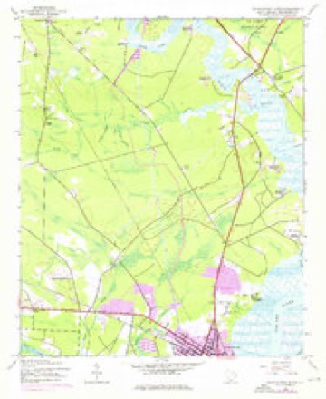
9 topographic sheets cover this place, the earliest surveyed in 1943 and the latest in 1986. It stands in the Georgetown census division. It lies in ZIP code area 29440. The Survey maps it on the Georgetown North quadrangle. 8,403 people lived here at the 2020 count. It stands 13 feet above sea level.
Research this city
On record in Georgetown
Buildings and businesses the archive holds for this place. Each opens its own page, with the source record it came from.
On the National Register 12 of 25 shown
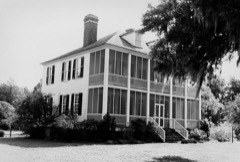 HopseweeNational Historic Landmark · listed 1971
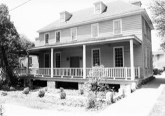 Joseph H. Rainey HouseNational Historic Landmark · listed 1984
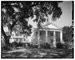 Annandale Plantationlisted 1973
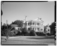 Arcadia Plantationlisted 1978
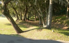 Battery Whitelisted 1977
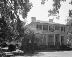 Beneventum Plantation Houselisted 1988
 Black River Plantation Houselisted 1994
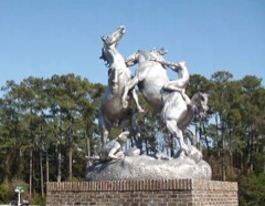 Brookgreen Gardenslisted 1978
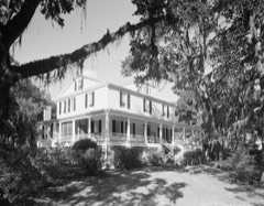 Chicora Wood Plantationlisted 1973
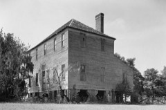 Friendfield Plantationlisted 1996
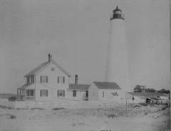 Georgetown Lighthouselisted 1974
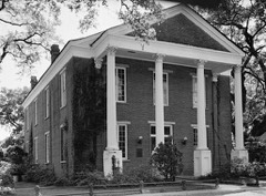 Harold Kaminski Houselisted 1971
Every listing in Georgetown County
Surveyed buildings and structures 12 of 43 shown
- Allston House, 405 Front Street, Georgetownfederal building survey, 5 photographs
- Annandale Plantation, Dependency, State Routes 30 & 18 vicinity, Georgetownfederal building survey, 1 photograph
- Annandale Plantation, House, Annandale Plantation Vicinity, Georgetownfederal building survey, 4 photographs
- Arcadia Plantation, U.S. Highway 17 vicinity, Georgetownfederal building survey, 13 photographs
- Arundel Plantation, Slave Cabin, Intersection of Routes 701 & 4, Georgetownfederal building survey, 19 photographs
- Beneventum Plantation, Road S-22-431, Georgetownfederal building survey, 4 photographs
- Cat Island Plantation, By ferry via Estherville Minim Creek Canal, North Santeefederal building survey, 2 photographs
- Chicora Wood Plantation, Cabin, County Road 52, Georgetownfederal building survey, 1 photograph
- Chicora Wood Plantation, County Road No. 52 (north side), Georgetownfederal building survey, 13 photographs
- Chicora Wood Plantation, Kitchen Building, County Road 52, Georgetownfederal building survey, 1 photograph
- Chicora Wood Plantation, Laundry Building, County Road 52, Georgetownfederal building survey, 1 photograph
- Chicora Wood Plantation, Rice Shipping House, County Road 52, Georgetownfederal building survey, 1 photograph
Population over time
3 figuresGeorgetown fell from 8,950 to 8,403 between 2000 and 2020. These are the recorded population figures Wikidata holds for this place, reached through the Geographic Names Information System number this page is keyed on rather than by name, so they belong to this place and not to another of the same name. Most are census counts, but not all are: an early figure may be a founding or settlement estimate, and an estimate published within five years of a census is left out. The change column is computed, and is left blank where more than 20 years separate a figure from the one before it, because a gap that long is not a change between two counts.
| Year | People | Change |
|---|---|---|
| 2000 | 8,950 | |
| 2010 | 9,163 | +213 (+2%) |
| 2020 | 8,403 | -760 (-8%) |
Topographic sheets covering this place
5 surveys from 9 printed sheetsMatched by testing this settlement's coordinate against the published boundary of every sheet in the United States Geological Survey's historical collection. Each opens the scanned sheet at the Survey.
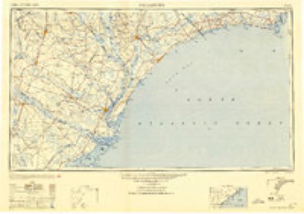
- 1943 USGS Georgetown North quadrangle1:24000, 3 printings
- 1949 USGS Georgetown quadrangle1:250000
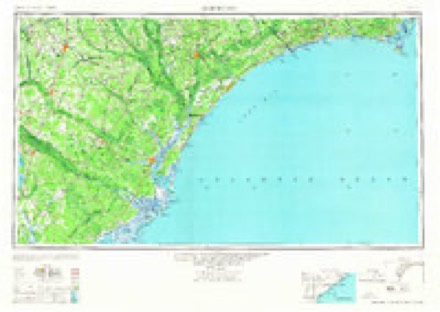
- 1967 USGS Georgetown quadrangle1:250000
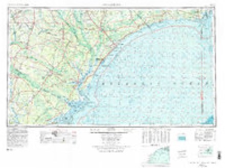
- 1974 USGS Georgetown quadrangle1:250000, 2 printings
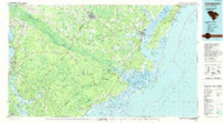
- 1986 USGS Georgetown quadrangle1:100000, 2 printings
Photographs
8 of 55 photographs shown, 1936 to 2017Taken for the Office of War Information and the Farm Security Administration, who photographed the country between 1935 and 1944. Works of United States government photographers, with no known restriction on use. Each opens its catalogue record.
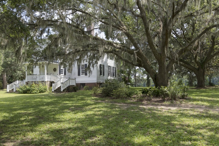
Highsmith, Carol M, 2017. Library of Congress
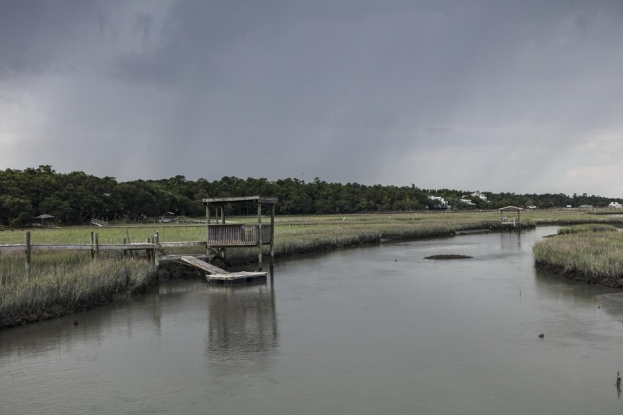
Highsmith, Carol M, 2017. Library of Congress
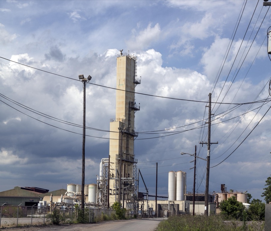
Highsmith, Carol M, 2017. Library of Congress
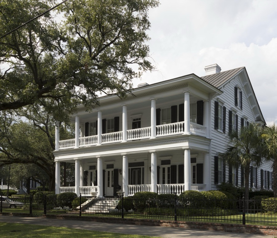
Highsmith, Carol M, 2017. Library of Congress
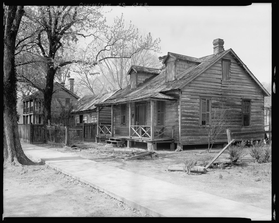
Johnston, Frances Benjamin, 1936. Library of Congress
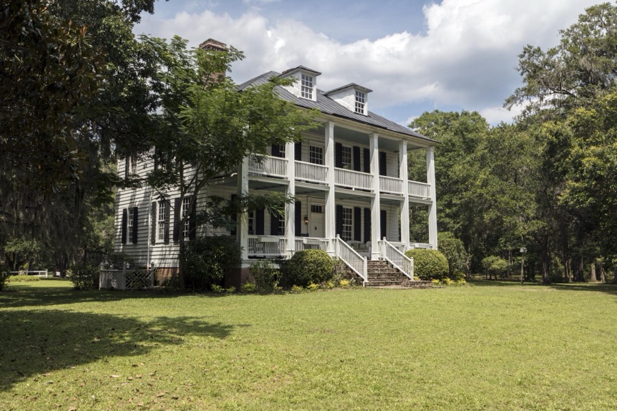
Highsmith, Carol M, 2017. Library of Congress
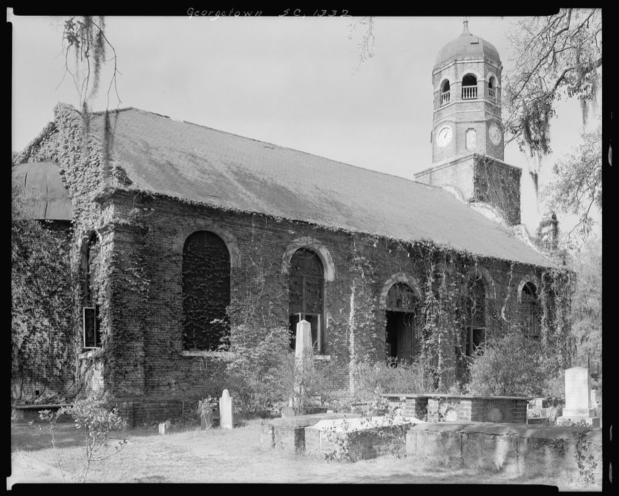
Johnston, Frances Benjamin, 1936. Library of Congress
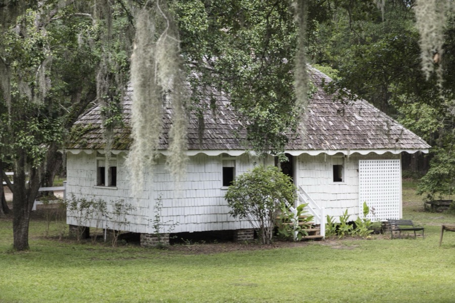
Highsmith, Carol M, 2017. Library of Congress
Every photograph of Georgetown County
Fires near this place
206 since 1992Regional context, not property-specific evidence. The federal wildfire occurrence database lists 206 fires within 5 miles of Georgetown between 1992 and 2020, burning about 1,474 acres in total. 5 started naturally. 43 were recorded as arson. Distance is straight-line from the map coordinates, so a fire counted here may appear on a neighbouring settlement's page as well.
| Reported cause | Fires |
|---|---|
| Missing data/not specified/undetermined | 75 |
| Debris and open burning | 65 |
| Arson/incendiarism | 43 |
| Misuse of fire by a minor | 9 |
| Equipment and vehicle use | 5 |
| Natural | 5 |
| Power generation/transmission/distribution | 1 |
| Smoking | 1 |
| Railroad operations and maintenance | 1 |
| Fireworks | 1 |
The most recent of them, most recent first, with the day each was reported and the service that recorded it.
| Date | Cause | Size | Reported by | Name on the report |
|---|---|---|---|---|
| 24 September 2012 | Arson/incendiarism | under an acre | South Carolina Forestry Commission | not named |
| 2 September 1992 | Missing data/not specified/undetermined | under an acre | South Carolina Forestry Commission | not named |
| 14 September 1998 | Missing data/not specified/undetermined | under an acre | South Carolina Forestry Commission | not named |
| 26 August 1993 | Missing data/not specified/undetermined | under an acre | South Carolina Forestry Commission | not named |
| 24 August 2012 | Debris and open burning | 1.0 acres | South Carolina Forestry Commission | not named |
| 2 August 2007 | Equipment and vehicle use | under an acre | South Carolina Forestry Commission | SKIDDER |
| 19 August 1999 | Debris and open burning | under an acre | South Carolina Forestry Commission | not named |
| 17 August 1999 | Natural | under an acre | South Carolina Forestry Commission | not named |
Settlements close enough to share some of these fires:
Mines and quarries near this place
4 within 5 milesRegional context, not property-specific evidence. The federal mineral resources record lists 4 workings within 5 miles of Georgetown: 3 unknowns, 1 past producer. None of them still produces. What was taken out: Sand and Gravel, Construction, Iron. Distance is straight-line from the map coordinates, so a quarry counted here may appear on a neighbouring settlement's page as well.
| Where | Site | Commodity | Status | Recorded |
|---|---|---|---|---|
| Georgetown Steel/ Georgetown, S.C. | Iron | Unknown | ||
| Meurisena Sand Pit | Sand and Gravel, Construction | Unknown | Sedimentary | |
| Unknown Sand Mine | Sand and Gravel, Construction | Past Producer | Sedimentary | |
| Unnamed Sand Mine | Sand and Gravel, Construction | Unknown | Sedimentary |
Storms near this place
60 of 69 shownRegional context, not property-specific evidence. The National Weather Service names Georgetown in 69 storm reports between 1994 and 2025: 19 flash flood, 17 thunderstorm wind, 10 heavy rain, 9 hail. The reports record 1 death and 11 injuries. Each account below is quoted exactly as the forecast office filed it, from the NOAA Storm Events Database, and each date opens the federal record of that event.
| When | Event | Place named | Harm | What the report says |
|---|---|---|---|---|
| March 2001 | Flood | Georgetown | 1 killed, $25,000 | Heavy rains and clogged drains contributed to localized flooding in the town of Andrews. On US 17A, 4 miles west of Georgetown a motorist was killed and two were injured when a car hydroplaned into another vehicle. |
| October 2002 | Tornado (F2) | Georgetown | 8 hurt, $750,000 | Tornado touched down with strong F2 damage near the corner of Merriman and Emanuel Roads, destroying 5 manufactured homes, a car and 2 houses before continuing NE with scattered F1 damage...described as major to a total of 28 structures and minor to 78 more...including homes, businesses, churches and also trees as it traveled a mile through residential streets. The tornado continued another 0.25 mile with F0 damage to trees before moving out over marshland. Eight people were hospitalized for minor injuries, where they were treated and released. |
| September 2000 | Flash Flood | Georgetown | 1 hurt, $750,000 | The remnants of Tropical Storm Gordon passed over Georgetown county. Based on spotter reports and radar estimates, over 8 inches of rain fell in a short period of time in the town of Georgetown. Numerous streets were reported flooded by emergency managers, and newspaper accounts illustrated standing water in excess of 2-3 feet in many areas. Many motorists had to abandon their cars due to the rising water, with many automobiles sustaining water damage. Numerous homes also sustained flood damage, particularly along Hawkins Street. Most businesses were forced to close for the day along Front and Fraser Streets, an area that was particularly hard hit with flooding. Only one injury was reported when a policeman had a heart attack after the flood waters entered his home. He was treated and released from a local hospital. |
| May 1995 | Thunderstorm Wind | Georgetown | 1 hurt, $500 | Lightning injury.,,,,,,,, |
| August 2001 | Lightning | Georgetown | 1 hurt | Georgetown 911 reported a person was struck by lightning. The extent of the injuries is unknown. A structure was also reported to be on fire due to lightning. The damage amount is unknown. |
| October 2005 | Heavy Rain | Georgetown | $1,500,000 | The remnants of Tropical Storm Tammy, in conjunction with a weak upper level disturbance in the Caribbean set up an unusually long and sustained fetch of tropical moisture over the area. The heaviest rain occurred from about 20 miles from the coast, where between 6 and 8 inches fell over a two day period on average, with isolated amounts over 12 inches were observed near the city of Georgetown. Some residents in Georgetown county said the flooding was the worst they had ever experienced. Many roads were under water and impassable. Much of the damage was due to the cost of repairing roads that were completely washed out. Several homes had several feet of water in them on Highmarket St., and many businesses had minor water damage. |
| October 2015 | Flash Flood | Georgetown | $200,000 | Church Street and adjacent areas to include Orange Street, Wood Street and King Street were reported flooded. There were reports of water rescues on Church Street. |
| October 2015 | Flash Flood | Georgetown | $150,000 | Flood water was reportedly entering homes on South Kaminski Street. |
| October 2015 | Flash Flood | Georgetown | $60,000 | Several streets around Georgetown were reported closed due to flash flooding. |
| August 2001 | Lightning | Georgetown | $50,000 | Lightning struck an over 100 year old home on 430 Highmarket St. , severely damaging it. |
| August 2002 | Thunderstorm Wind | Georgetown | $25,000 | 911 reported a tree fell on a house. |
| October 2025 | Flash Flood | Georgetown | $20,000 | Water entered the Georgetown Marketplace business. Video footage shows significant flooding across Front St in Georgetown. |
| July 2011 | Flood | Georgetown | $20,000 | Between five and seven inches of rain fell on the city of Georgetown. There were reports of two feet of standing water on Hwy 17 S at City Hall. Flooding was also reported on Duke St., South Congdon, Hazard St, Wood St., and Kaminski St. City Fire rescued two persons from flooded cars. |
| November 1995 | Tornado (F1) | Georgetown | $20,000 | Brief touchdown mangled huge steel beams of a building under constuction. |
| October 2015 | Flash Flood | Georgetown | $15,000 | Water up to 4 feet deep was reported at the intersection of Prince Street and Dozier Street. |
| September 1998 | Thunderstorm Wind | Georgetown | $15,000 | Trees and power lines were reported downed as a thunderstorm passed through the city. |
| October 2025 | Flash Flood | Georgetown | $10,000 | Georgetown County EM reports numerous streets flooded in the City of Georgetown. Several motorists have been rescued from stranded vehicles. |
| January 2024 | Thunderstorm Wind | Georgetown | $10,000 | Significant roof damage to mobile home on Lafayette Street near intersection with Church Street with half of roof torn off. |
| September 2000 | Tornado (F1) | Georgetown | $8,000 | A tornado touched down on Waccamaw Neck. Numerous trees were down in the path of the tornado, one damaging the church at Friendfield Village in Hobcaw. |
| July 2011 | Thunderstorm Wind | Georgetown | $5,000 | Trees were reported down in the city of Georgetown. |
| July 2009 | Flash Flood | Georgetown | $5,000 | Over four inches of rain fell in the city of Georgetown. Water rose up to car headlights on Frazier Street. Highway 17 closed in Georgetown due to significant flooding. Many reports of flooding in streets and in yards around the city. Some vehicles are inundated. There were no injuries reported. |
| July 1999 | Lightning | Georgetown | $5,000 | Lightning from a thunderstorm caused power outages, disrupting the 911 center. Nearly 5 inches of rain in 2 hours caused ponding on roads. |
| May 1995 | Thunderstorm Wind | Georgetown | $5,000 | A girl working at a cash register was injured by lightning. Thunderstorm winds blew down telephone pole and caused other minor damage. Heavy rains accompanied by small hail caused ponding of water in low areas. |
| October 1994 | Thunderstorm Wind | Georgetown | $5,000 | Thunderstorm winds downed trees in Wedgefield Subdivision. |
| June 2016 | Thunderstorm Wind | Georgetown | $1,500 | Power lines were reported down in front of fire station 10 in Georgetown County. |
| October 2025 | Flash Flood | Georgetown | $1,000 | US Route 17 was closed at Dock Street due to flooding. |
| May 2011 | Thunderstorm Wind | Georgetown | $1,000 | A tree was reportedly down on North Hazard Street. |
| July 2011 | Thunderstorm Wind | Georgetown | $1,000 | A wind gust just over 63 mph was measured by wind equipment on the Siau Bridge. Sinage on the bridge was blown down and damaged. |
| May 2010 | Hail | Georgetown | $1,000 | Hail to the size of pennies was reported. |
| October 2025 | Heavy Rain | Georgetown | - | Georgetown EM reports 8.2 inch of rain since midnight at the county EOC. |
| December 2023 | Flash Flood | Georgetown | - | US-17 closed from Highmarket Street to Sampit River Bridge due to flooding. |
| December 2023 | Flash Flood | Georgetown | - | Fire departments from city of Georgetown, Murrells inlet and Midway are involved in multiple calls removing people from flooded homes and stranded vehicles across the county. |
| December 2023 | Flash Flood | Georgetown | - | Three feet deep water at Dozier Street and Prince Street in Georgetown. |
| September 2019 | Flash Flood | Georgetown | - | Flowing water was on Front St and the sidewalks. |
| October 2015 | Flood | Georgetown | - | Flooding was reported on Hwy 17. |
| October 2015 | Flood | Georgetown | - | Several road were flooded in the city of Georgetown. |
| May 2012 | Flood | Georgetown | - | Road blocks were set up on Fraser Street and Highmarket Street due to flooding. |
| August 2012 | Flood | Georgetown | - | Portions of Front Street, Prince Street, and Dozier were flooded. |
| August 2011 | Flood | Georgetown | - | Street flooding was reported on Prince St, Dozier St, and Hwy 17 at Highmarket St. |
| September 2010 | Heavy Rain | Georgetown | - | Highway 17 was closed in the southbound lanes between Highmarket Street and Front Street. |
| July 2009 | Flash Flood | Georgetown | - | Portions of U.S. Highway 17/Frazier Street closed due to flooding. Other major roads closed include Hazard Street, Congdon Street, and U.S. Highway 521/Highmarket Street. |
| July 2009 | Flash Flood | Georgetown | - | Ten people stranded at city hall were rescued in a jon boat. Six people were rescued from a flooded car at the intersection of Highmarket and Cannon Streets. |
| May 2008 | Hail | Georgetown | - | A trained spotter reported hail larger than pennies. |
| July 2006 | Thunderstorm Wind | Georgetown | - | Numerous trees down, with power outages throughout the county. |
| November 2006 | Heavy Rain | Georgetown | - | Street flooding downtown cause one lane to be closed on N Frazier St. Some minor flooding occurred on S Frazier. |
| July 2004 | Funnel Cloud | Georgetown | - | Law enforcement spotted a funnel cloud in the Kensington area. |
| July 2004 | Heavy Rain | Georgetown | - | Rain falling at a rate of nearly 4 inches per hour caused flooding over portions of Hwy 51. |
| June 2004 | Heavy Rain | Georgetown | - | Law enforcement closed a portion of Hwy 17 in the city due to high water. |
| February 2003 | Thunderstorm Wind | Georgetown | - | Public reported trees down. |
| March 2003 | Heavy Rain | Georgetown | - | Heavy rains fell on already saturated soil in Georgetown, causing ponding on many city streets. Several downtown intersections were under two feet of water. A portion of U.S. 17 was closed, with traffic re-routed. |
| May 2003 | Hail | Georgetown | - | The public reported golfball size hail. |
| July 2003 | Heavy Rain | Georgetown | - | Skywarn reported Hwy 17 was closed due to flooding. |
| July 2002 | Heavy Rain | Georgetown | - | Police reported numerous roads flooded in the city. The police blocked off some of the roads. Radar estimated rainfall in the area between two and five inches. |
| August 2002 | Heavy Rain | Georgetown | - | Several secondary roads were closed due to flooding. |
| May 2000 | Hail | Georgetown | - | Georgetown 911 reported quarter-size hail. |
| May 2000 | Hail | Georgetown | - | Georgetown 911 reported quarter-size hail. |
| April 2000 | Thunderstorm Wind | Georgetown | - | Power company dispatch reported trees down on power lines. |
| September 2000 | Flash Flood | Georgetown | - | Law enforcement reported Butts and Fraser Road closed and impassable due to flooding. |
| April 2000 | Thunderstorm Wind | Georgetown | - | Utility company reported large limbs on power lines. |
| May 1998 | Thunderstorm Wind | Georgetown | - | Thunderstorm winds caused power outages across the city. |
Newspapers printed here
4 digitised pages1 paper published in this town, digitised by the Library of Congress and free to read: 1 issue, 4 pages. Every page is searchable, so a name or a street can be looked for directly in what the town printed about itself at the time.
| Newspaper | Published |
|---|---|
| The Georgetown Planet | 1873 to 1875 |
What the paper printed
4,695 wordsFront pages of the local paper, read from the Library of Congress scans: 1 issue from 1873, 4,695 words in total. Each is reproduced on its own page, exactly as the recogniser returned it.
These pages read less well than anything else here, and the number is worth stating: about three words in four come through cleanly, against nine in ten for the building records. An 1896 broadsheet sets eight-point type in seven columns on microfilm, which is the hardest thing in this archive to read by machine. We tested our own recognisers against the Library's and they were not better, so the Library's text is what appears, with the wholly unreadable columns removed. Read it as a guide to what the paper covered, and follow the link to the scan before quoting anything.
| Issue | Paper | Length |
|---|---|---|
| 1873-05-31 | The Georgetown Planet | 4,695 words |
Nearest settlements
The eight closest, with where each one stands in the county. Distances are straight-line, computed from the Geographic Names Information System coordinates.
| Map | Place | Distance | Sheets |
|---|---|---|---|
| Steele Town | 0.4 miles | 10 | |
| Country Club Estates | 0.6 miles | 9 | |
| Rosemont | 1.3 miles | 9 | |
| Kensington | 2.0 miles | 9 | |
| Colonial Estates | 2.2 miles | 9 | |
| Maryville | 2.4 miles | 10 | |
| San Miguel De Gualdape (historical) | 3.8 miles | 10 | |
| Strawberry | 3.9 miles | 10 |
Elsewhere
Matched on this settlement's Geographic Names Information System number rather than its name, so it cannot be a different place of the same name in another state.
| Wikipedia article on Georgetown | An encyclopaedic summary. Its text is share-alike, so it is linked here rather than copied. |
| Wikidata item Q603389 | The structured record the population and elevation above come from. Public domain (CC0). |
Provenance
This settlement is recorded in the Geographic Names Information System as feature 1247888. The sheet list is computed by point-in-boundary test against the United States Geological Survey's historical topographic inventory. Both are works of the United States government and carry no copyright under 17 U.S.C. 105.
Wildfire. Short, Karen C. 2022. Spatial wildfire occurrence data for the United States, 1992-2020 [FPA_FOD_20221014]. 6th Edition. Fort Collins, CO: Forest Service Research Data Archive. https://doi.org/10.2737/RDS-2013-0009.6 Collected with United States Government funding and usable without additional permissions or fees.
Mines and quarries. USGS Mineral Resources Data System (MRDS) https://mrdata.usgs.gov/mrds/ A work of the United States government, no copyright under 17 U.S.C. 105.
Storms. NOAA National Centers for Environmental Information, Storm Events Database https://www.ncei.noaa.gov/stormevents/ A work of the United States government, no copyright under 17 U.S.C. 105. Narratives are quoted verbatim from the National Weather Service report and are not edited or summarised.