Block
From the record
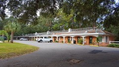
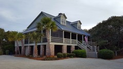
38 National Register listings published here, 2 of them National Historic Landmarks.
Sources: the National Register database, National Park Service
63 topographic sheets and 8 fire insurance atlases across 1 place.
38 National Register listings published here, 2 of them National Historic Landmarks.
Sources: the National Register database, National Park Service
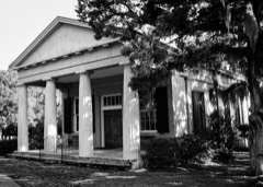
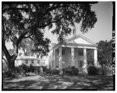
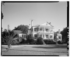
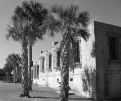
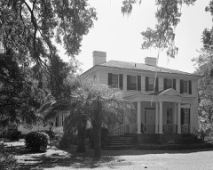
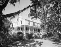
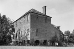
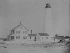
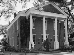
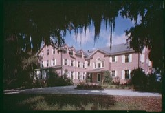
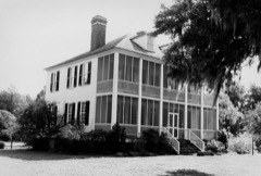
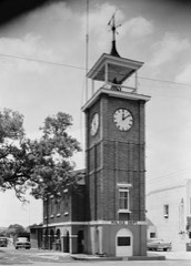
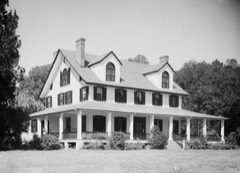
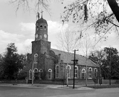
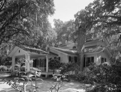
Taken for the Office of War Information and the Farm Security Administration, who photographed the country between 1935 and 1944. Works of United States government photographers, with no known restriction on use. Each opens its catalogue record.
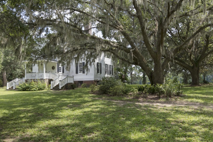
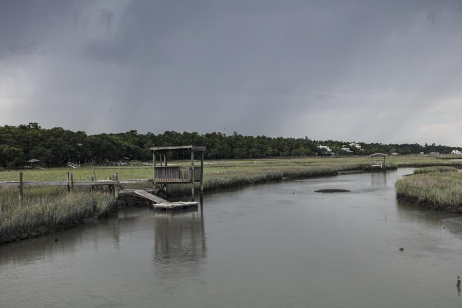
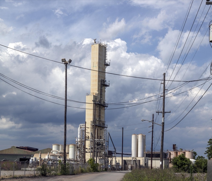
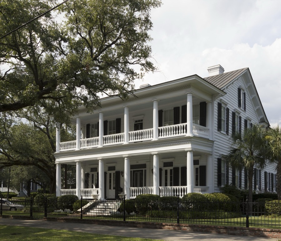
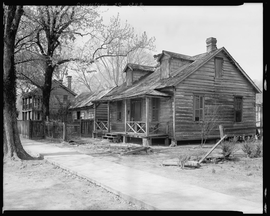
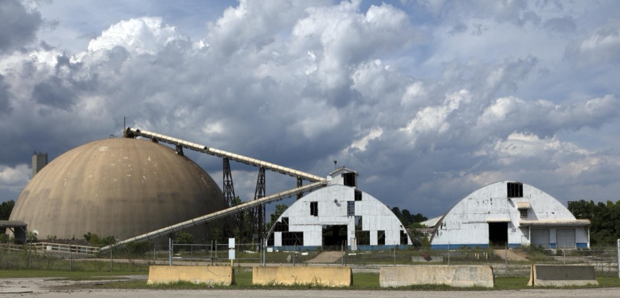
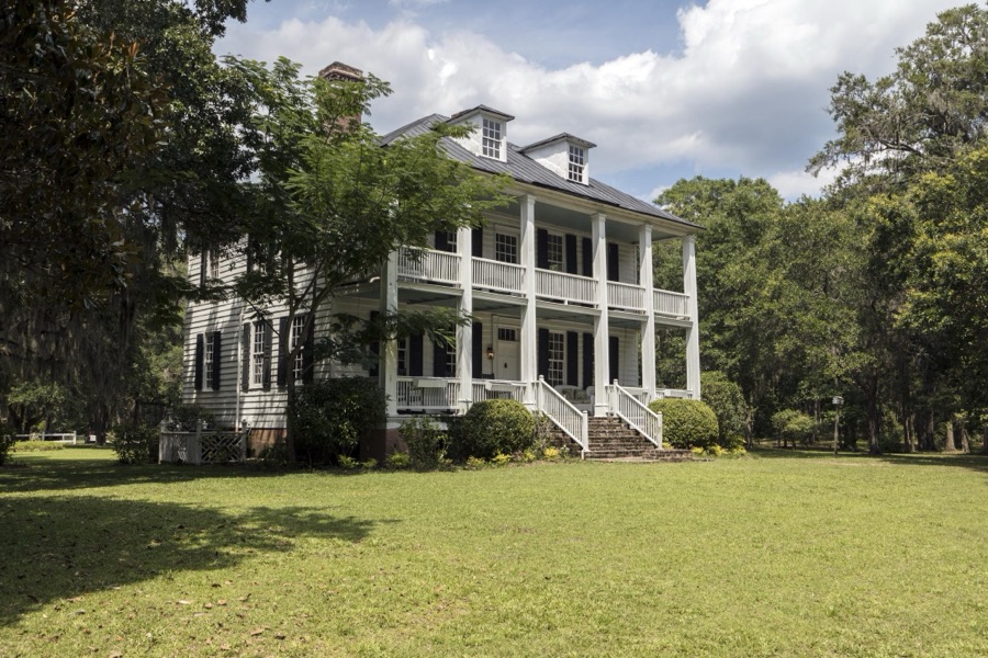
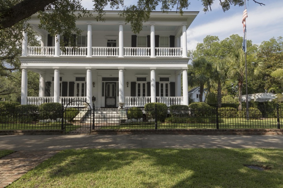
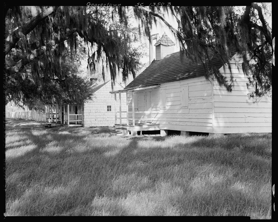
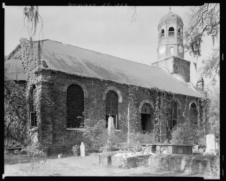
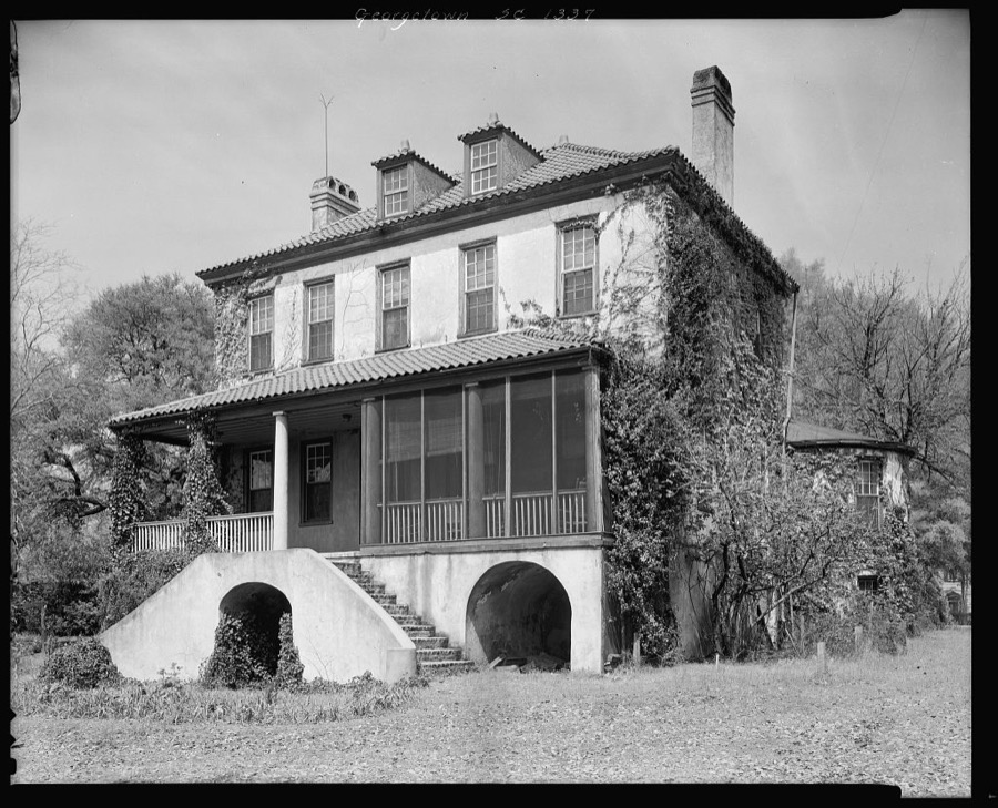
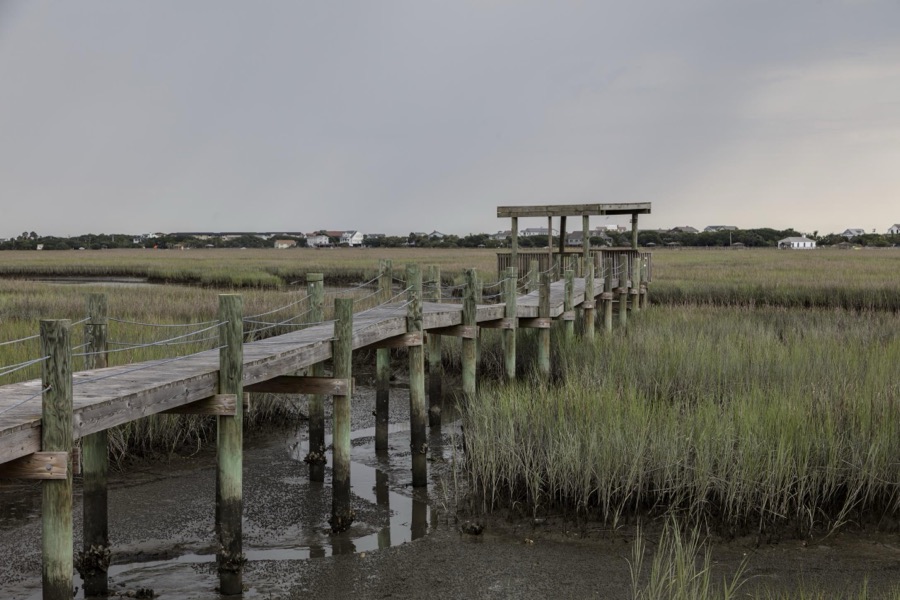
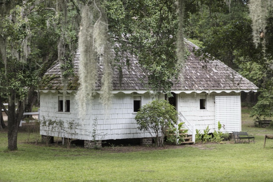
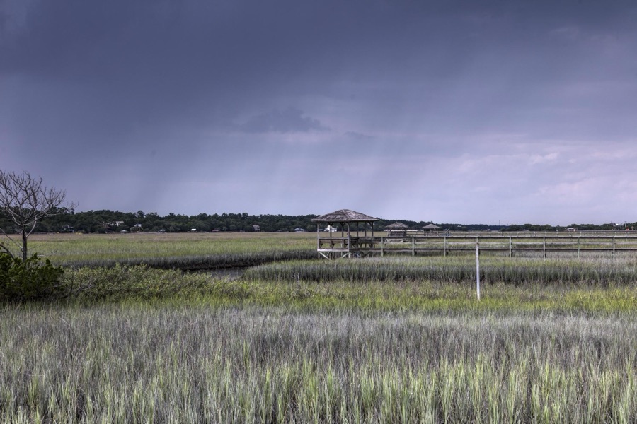
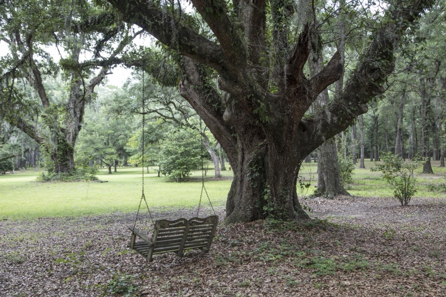
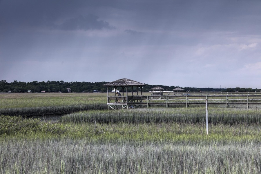
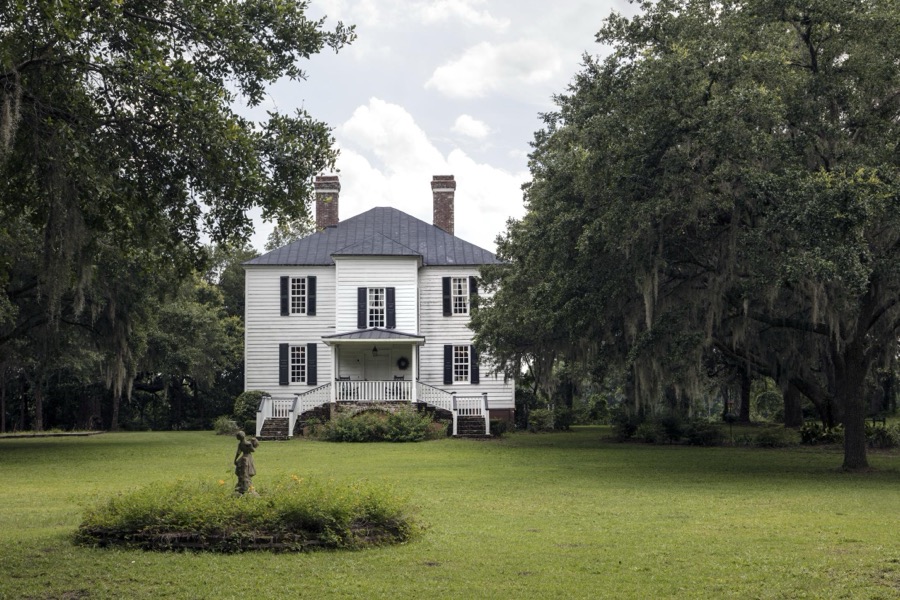
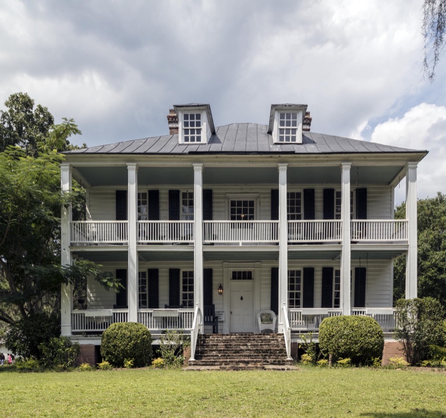
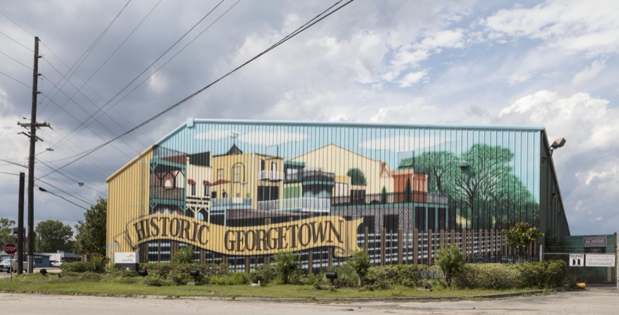
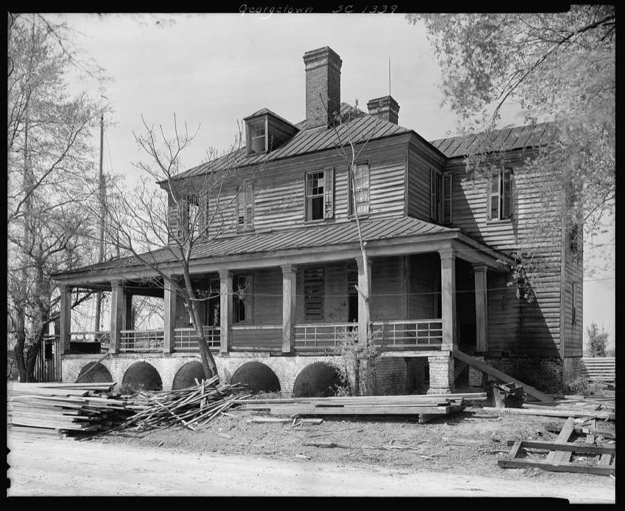
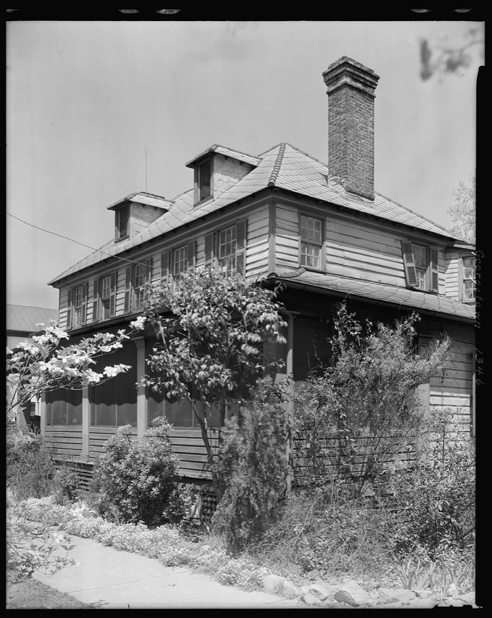
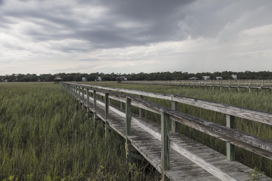
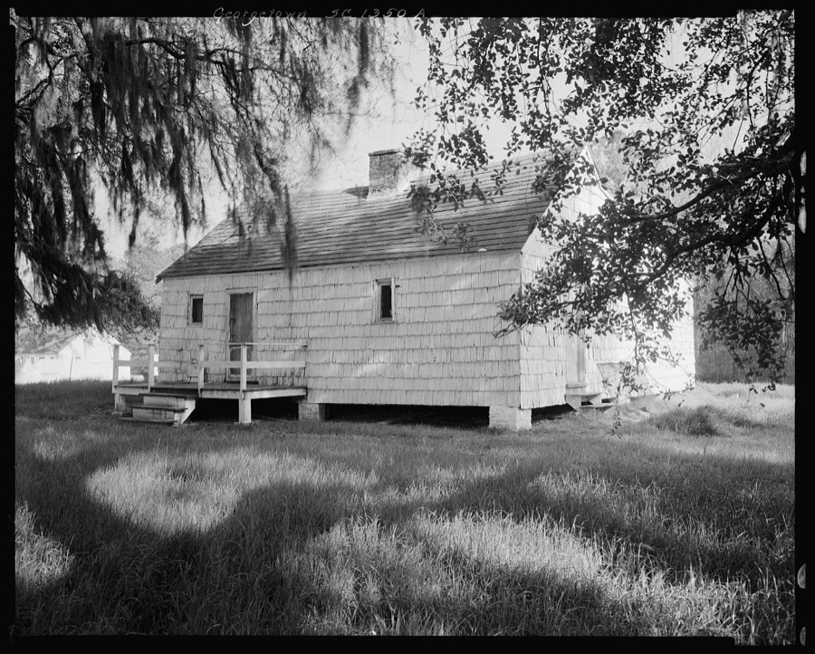
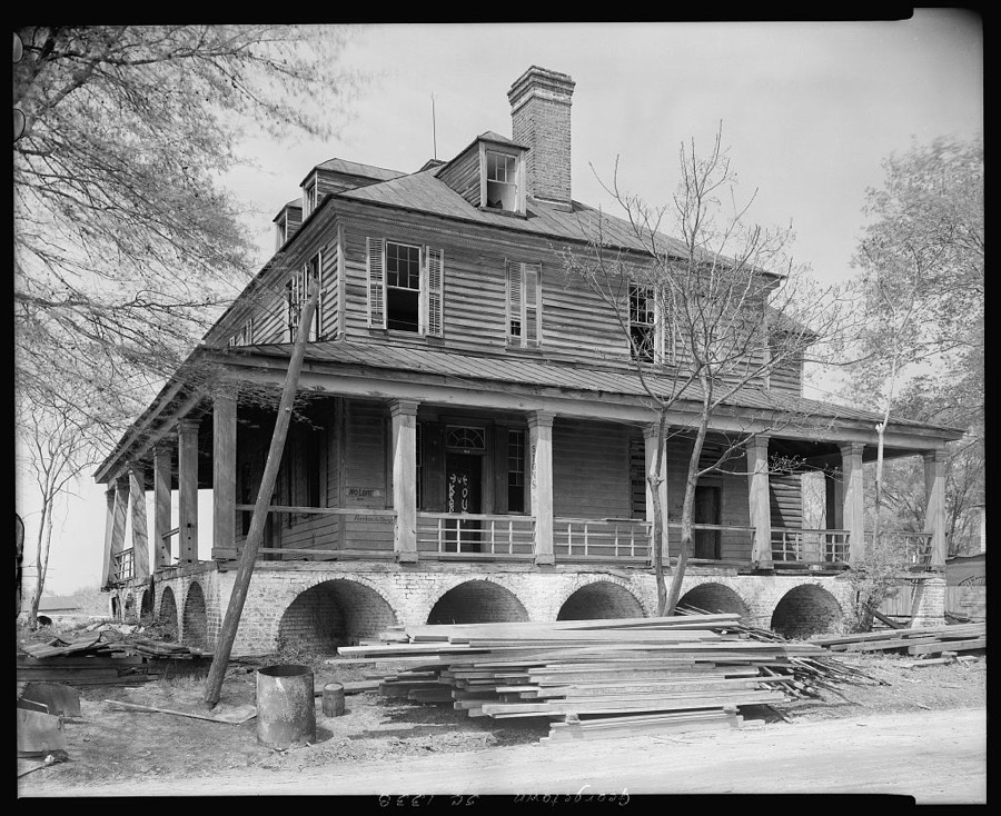
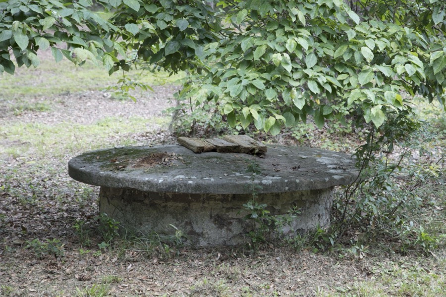
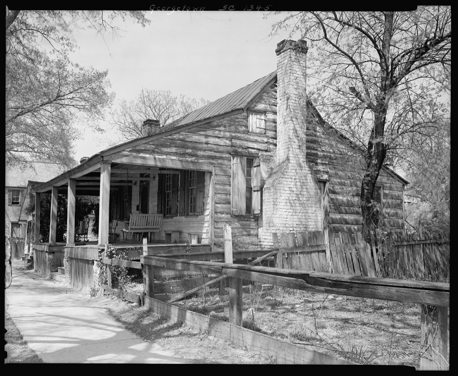
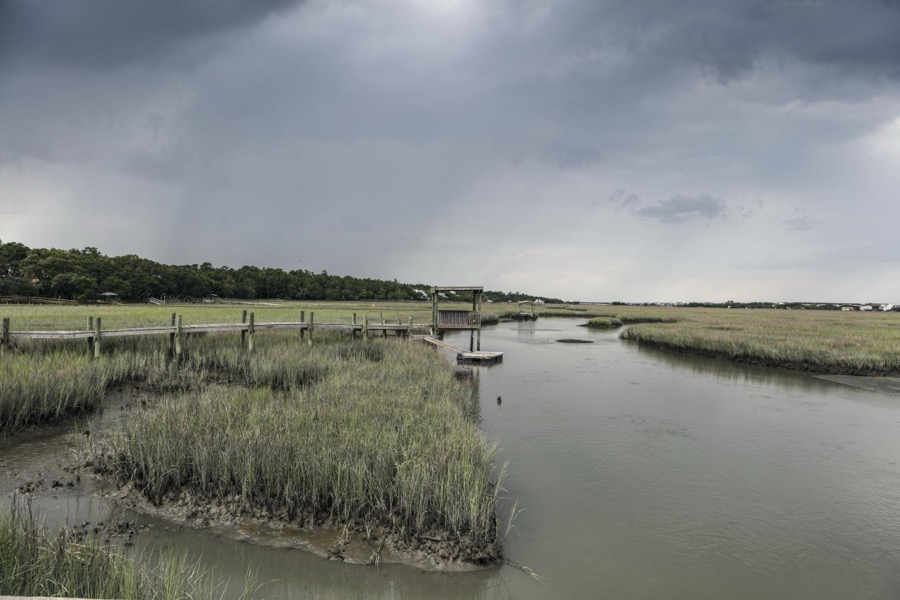
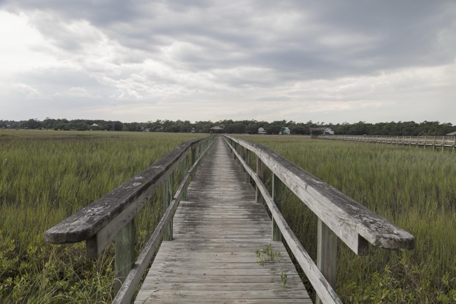
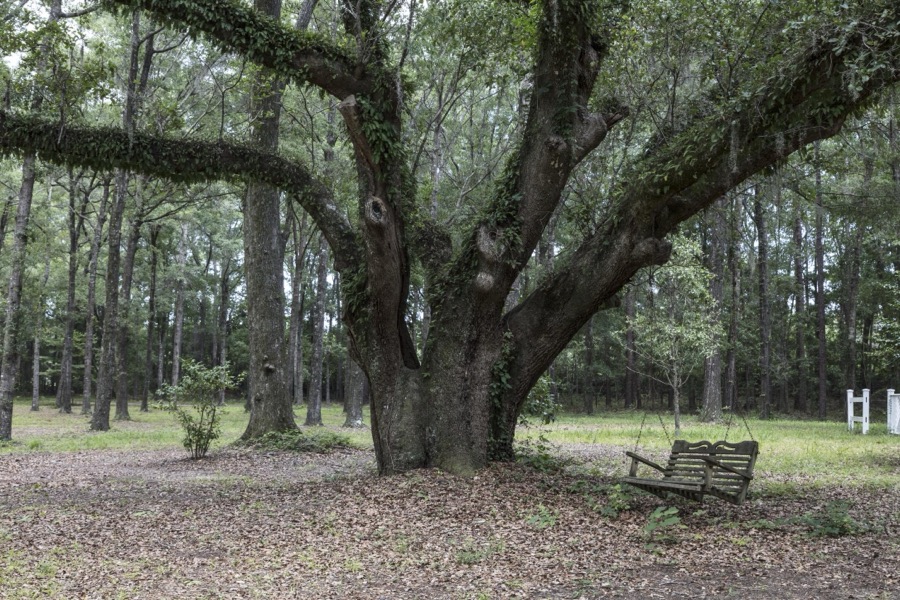
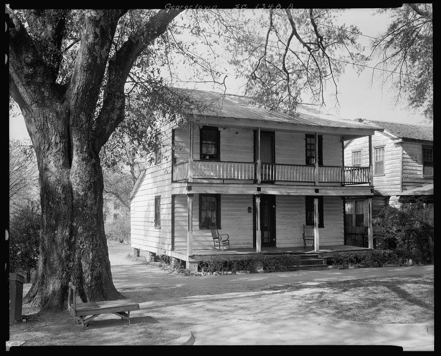
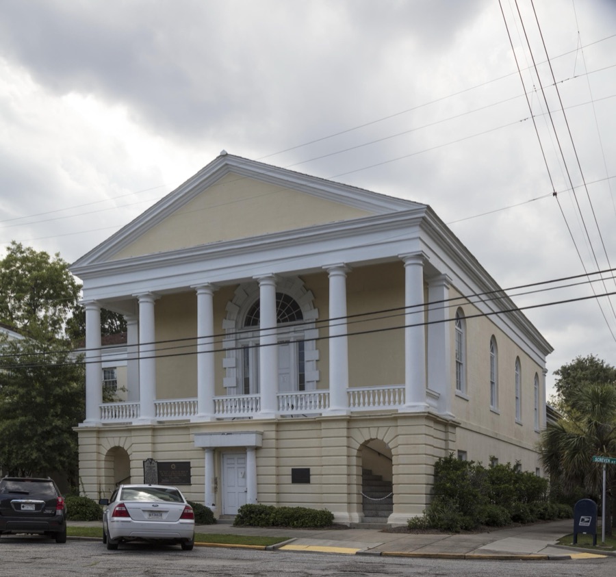
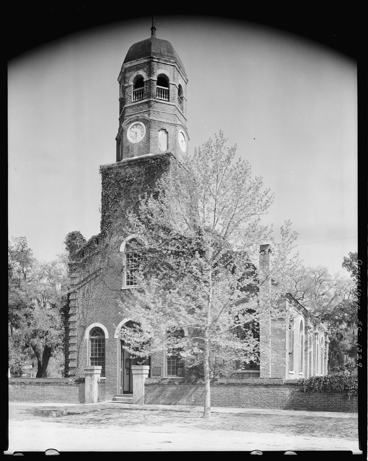
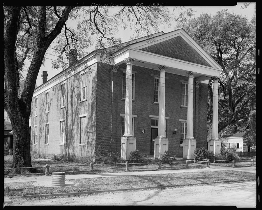
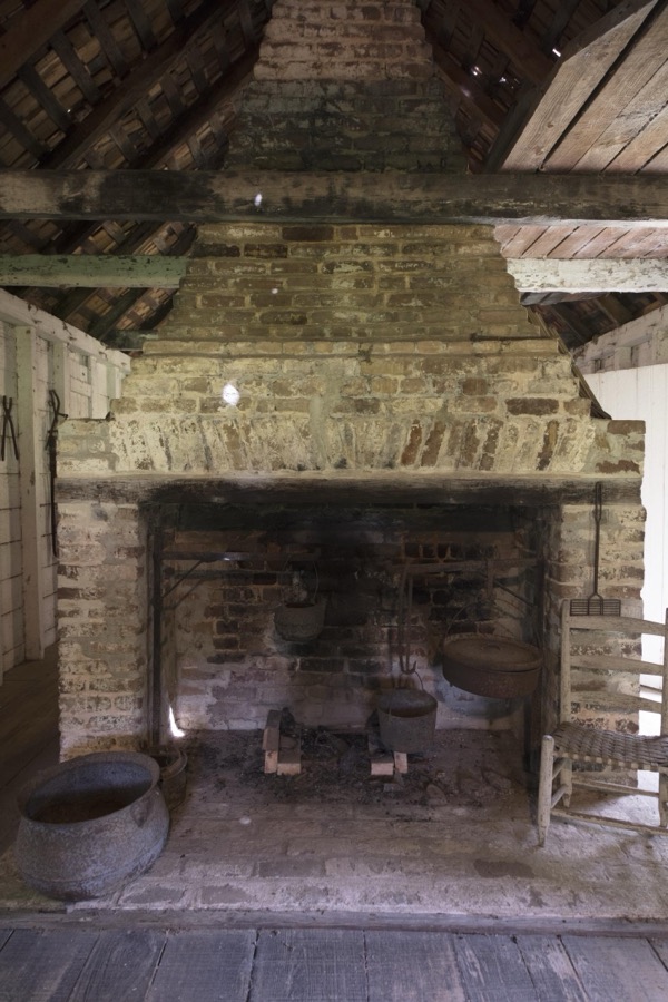
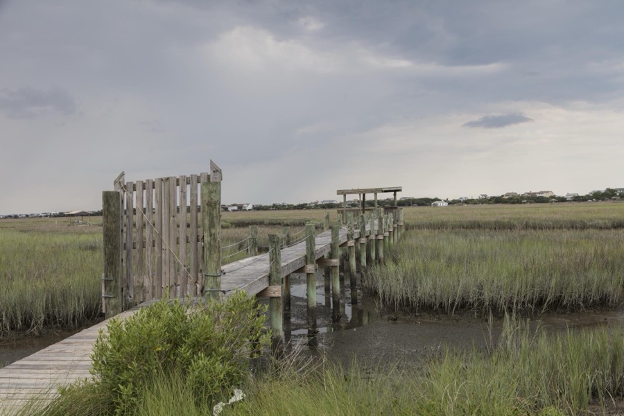
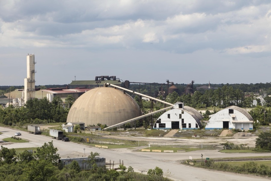
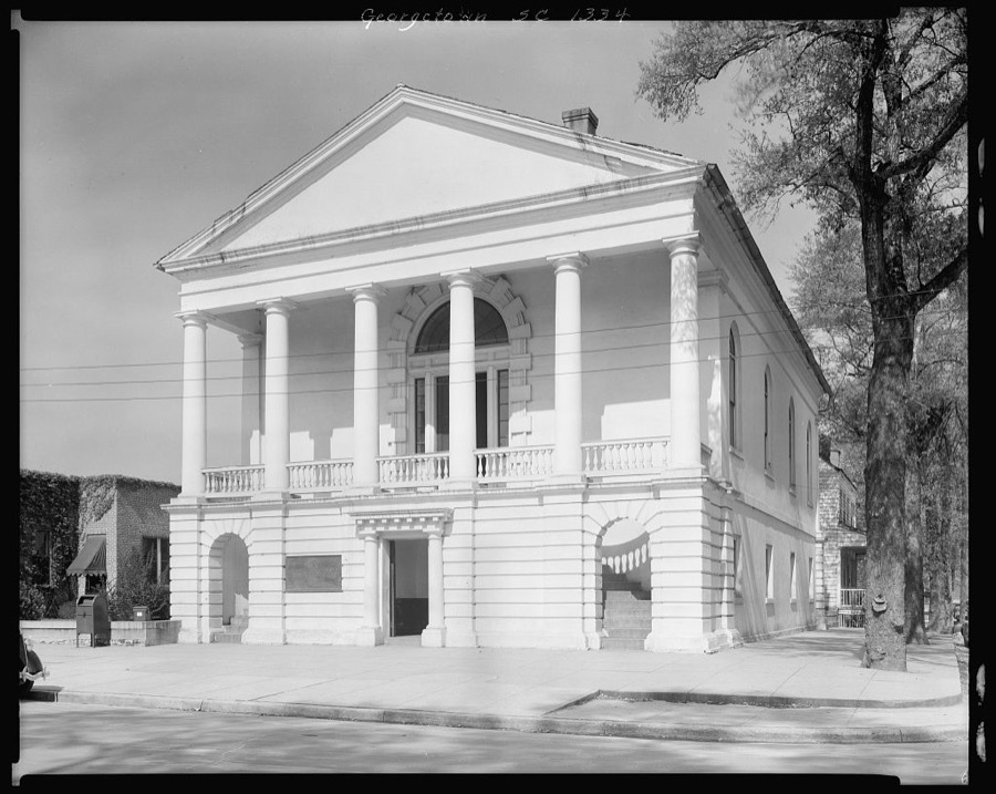
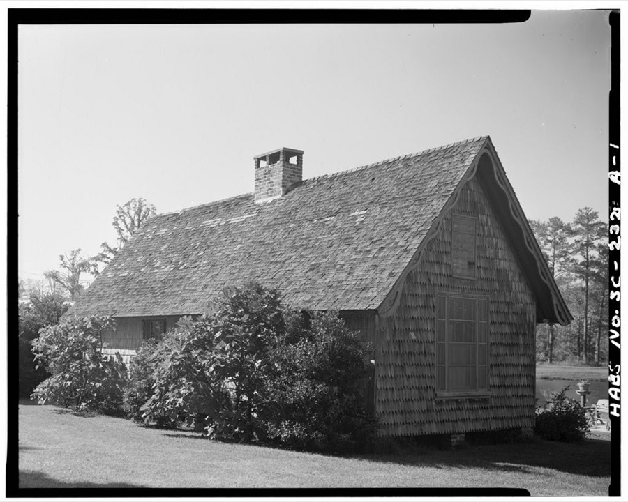
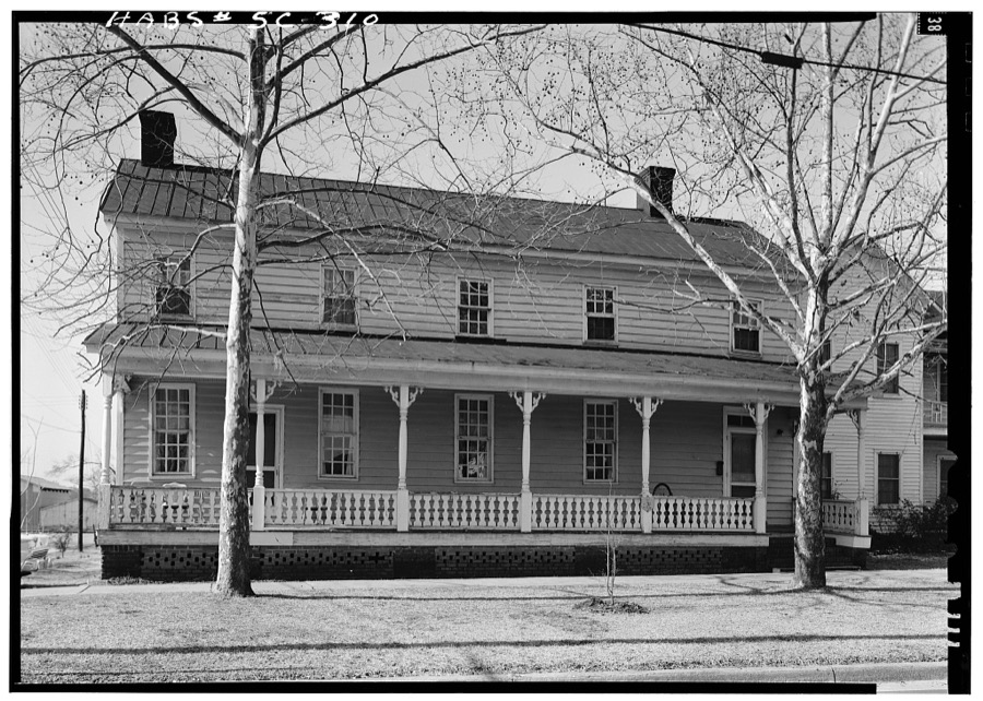
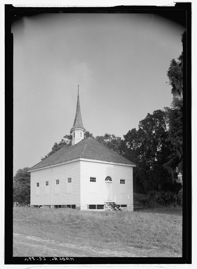
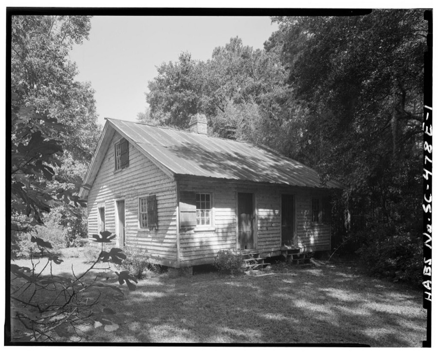
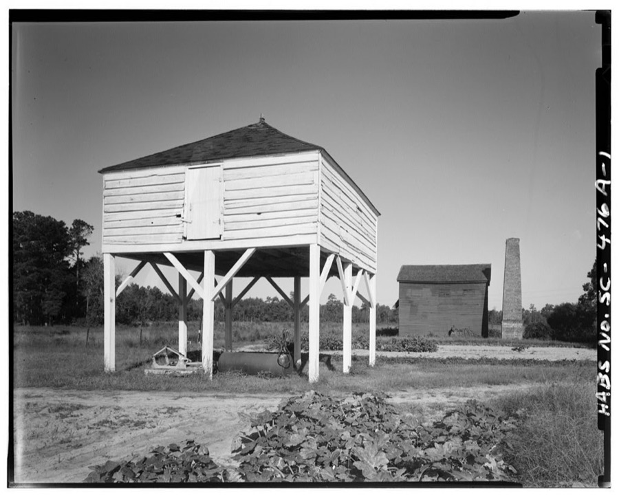
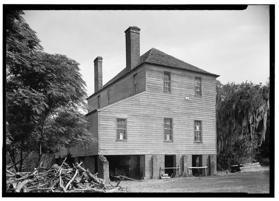
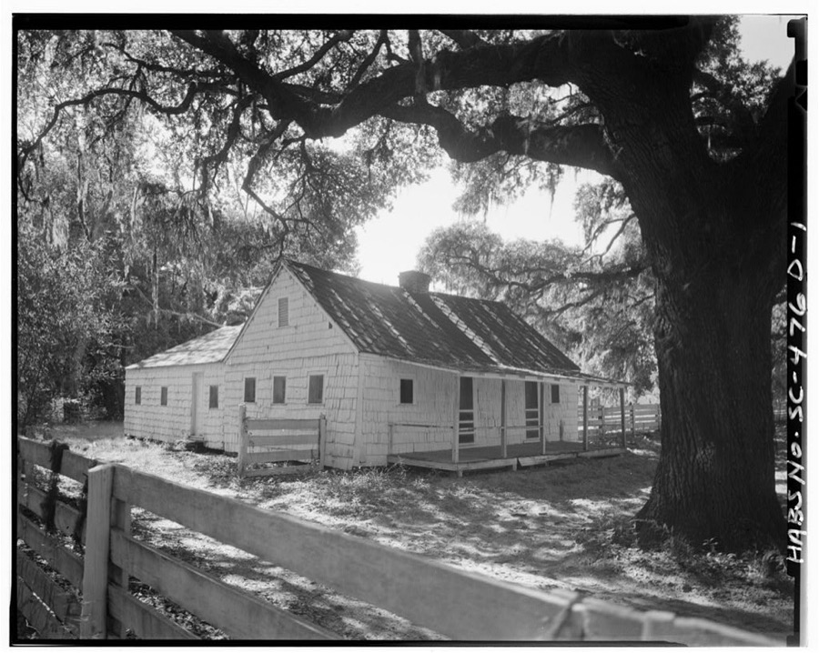
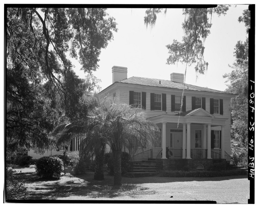
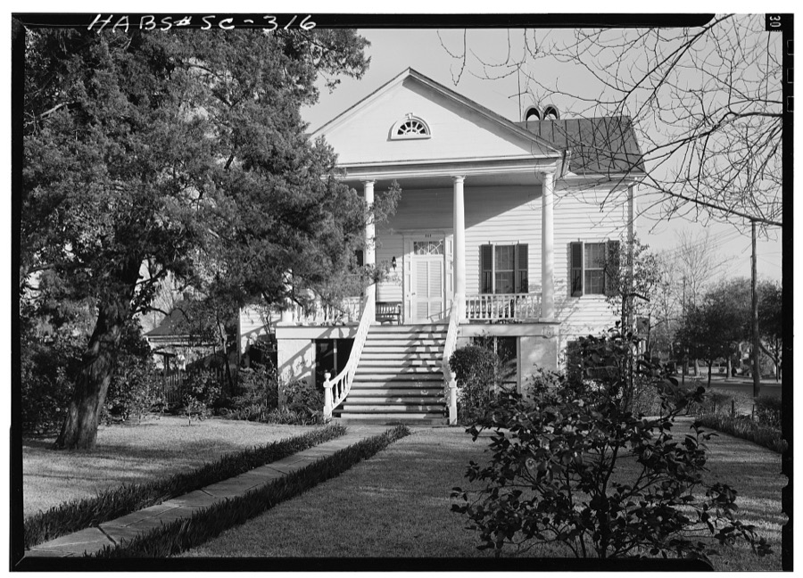
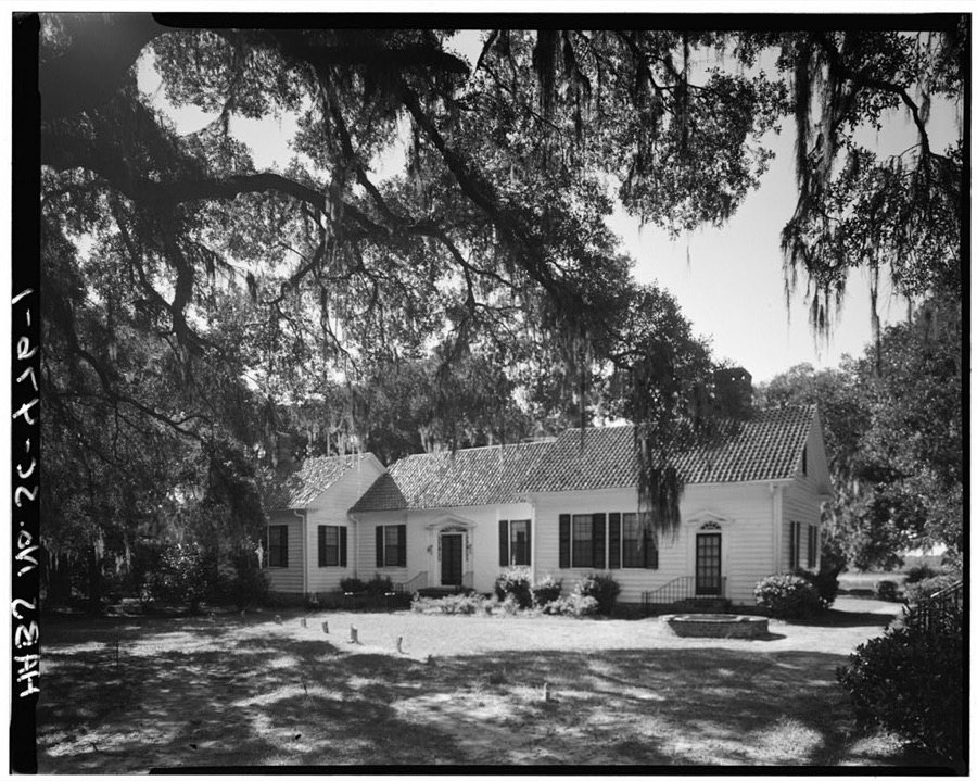
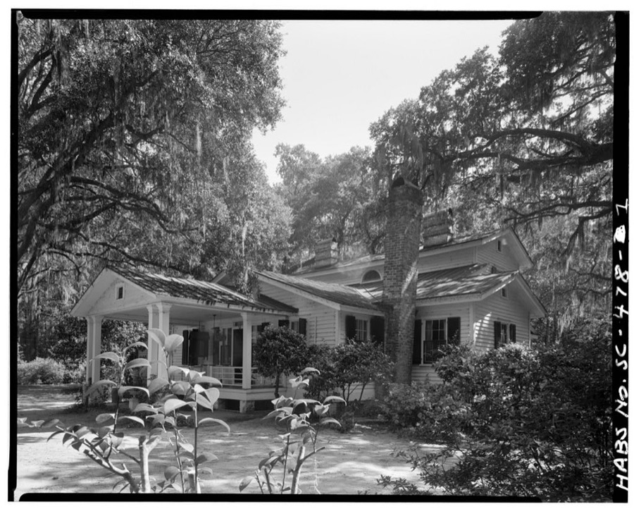
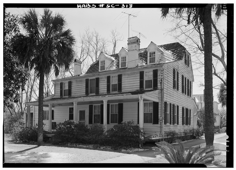
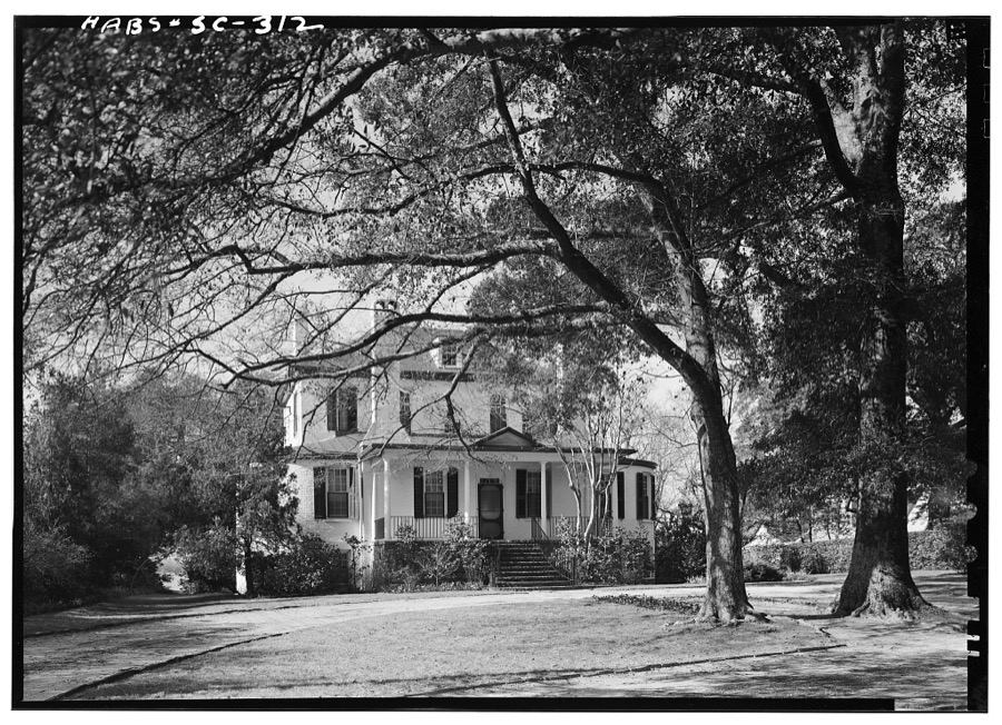
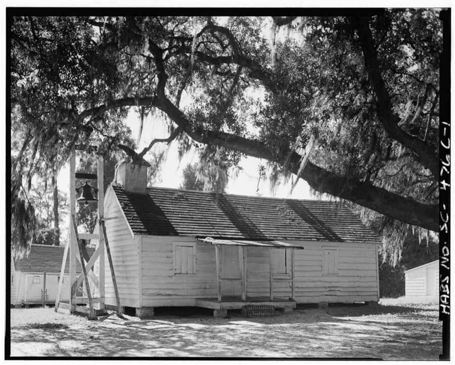
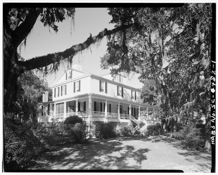
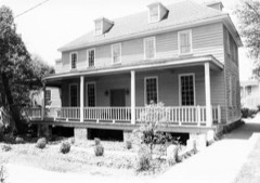
Every property in this county listed on the National Register of Historic Places, with the year it was listed and the federal nomination document.
Sampled issues, machine-read from the Library of Congress scan and published page by page, so every headline and column is searchable text.
Georgetown, S.C., 1873 to 1875. Machine-read from the Library of Congress scan.
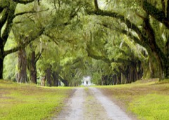
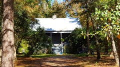
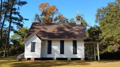
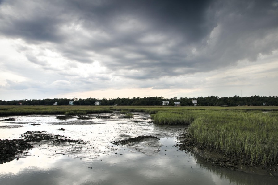
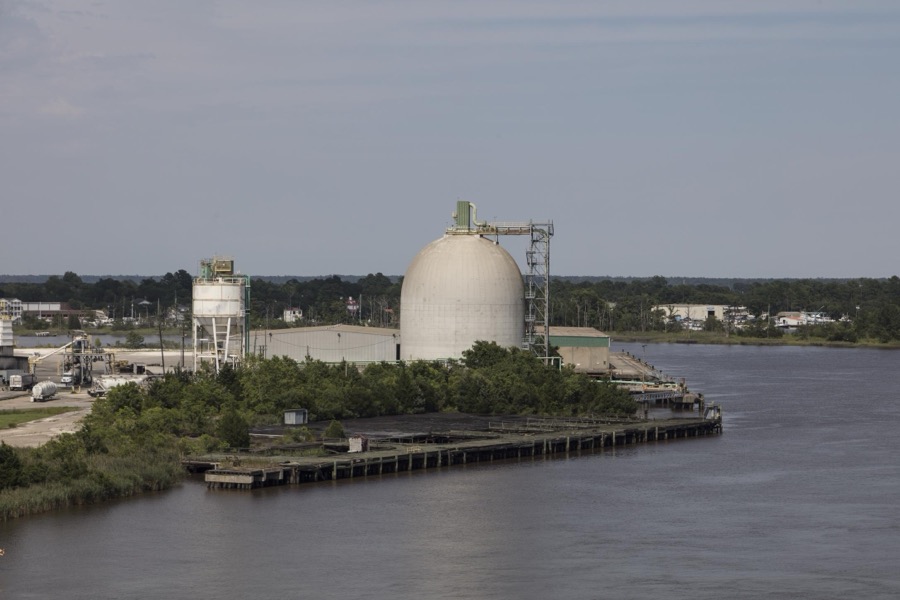
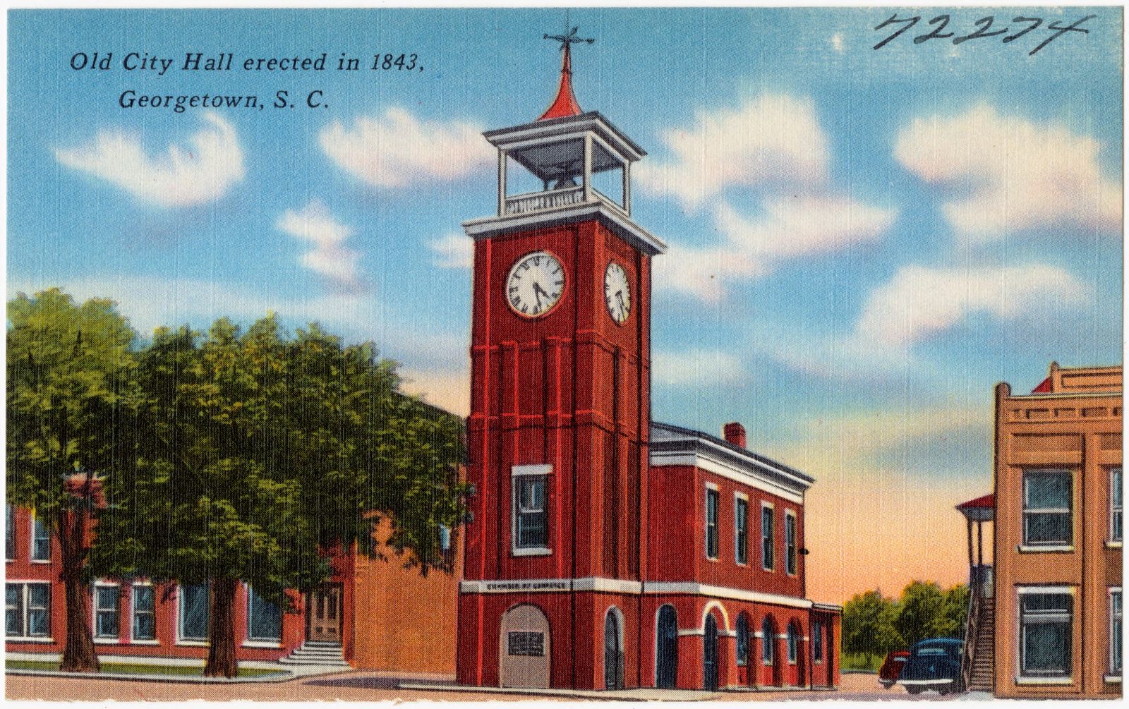
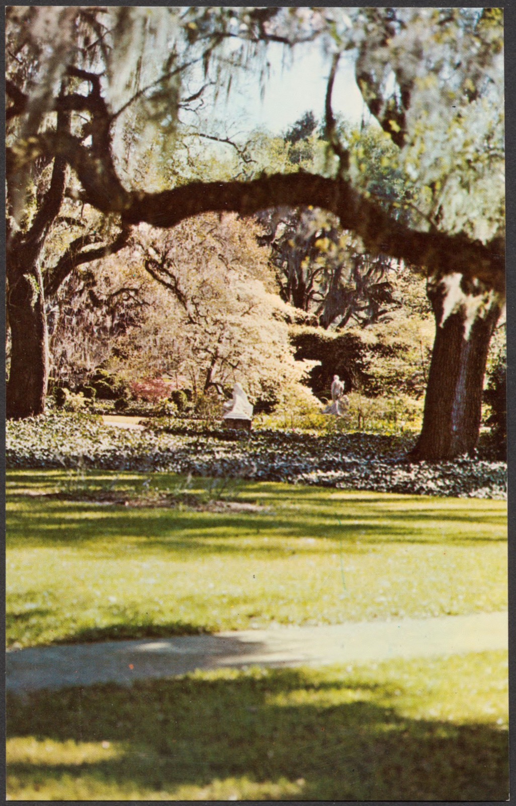
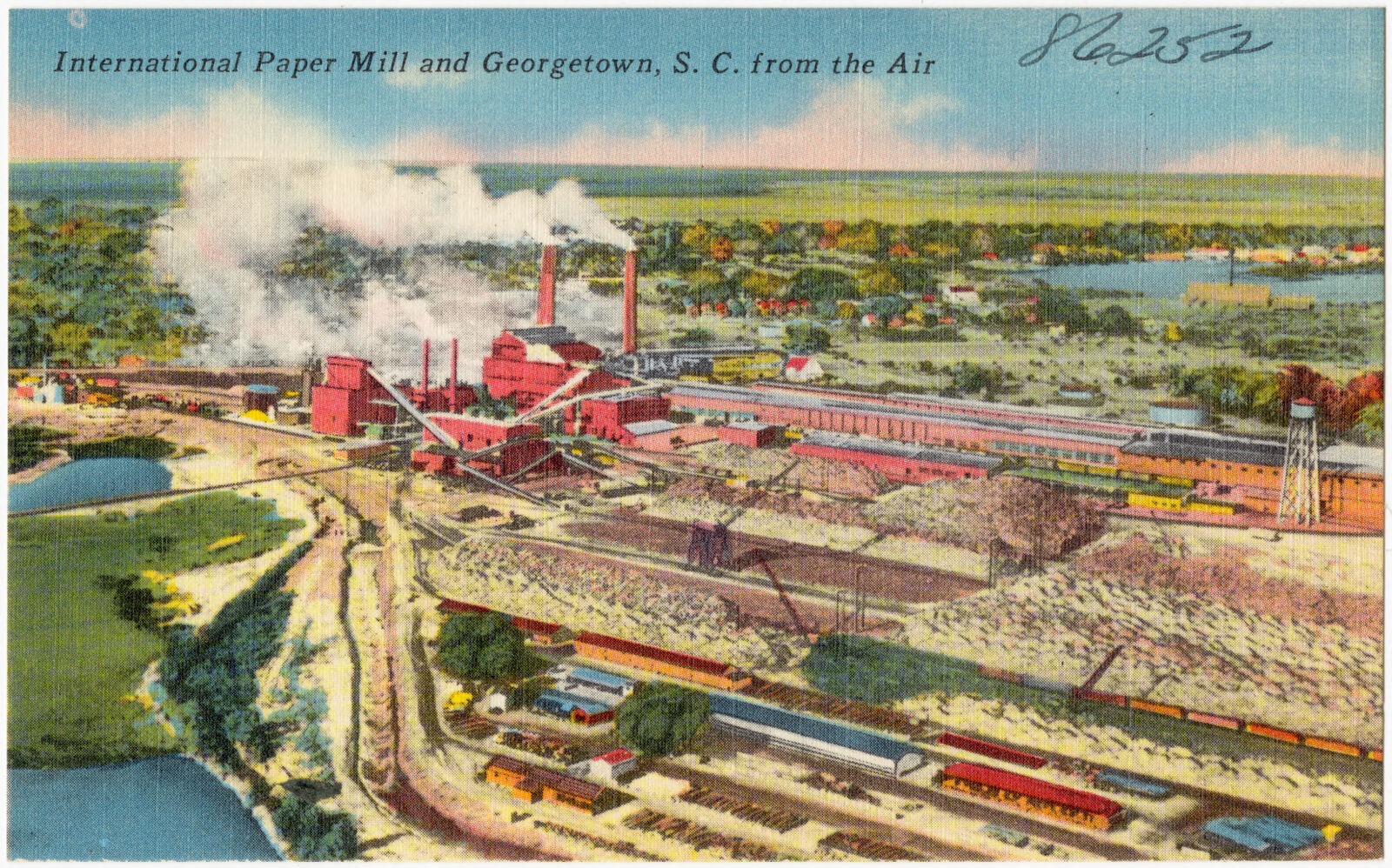
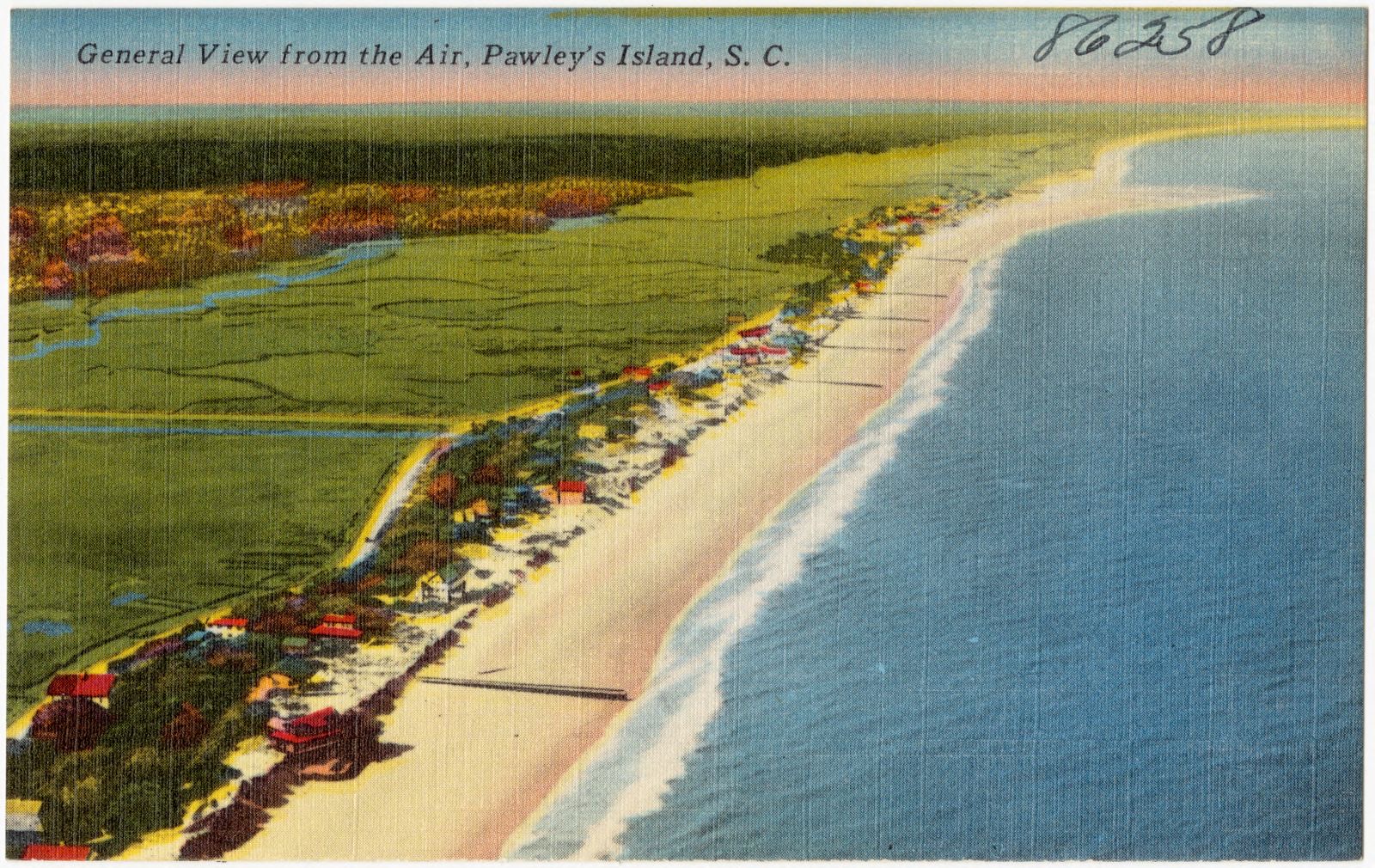
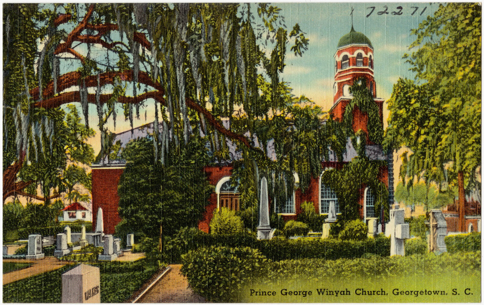
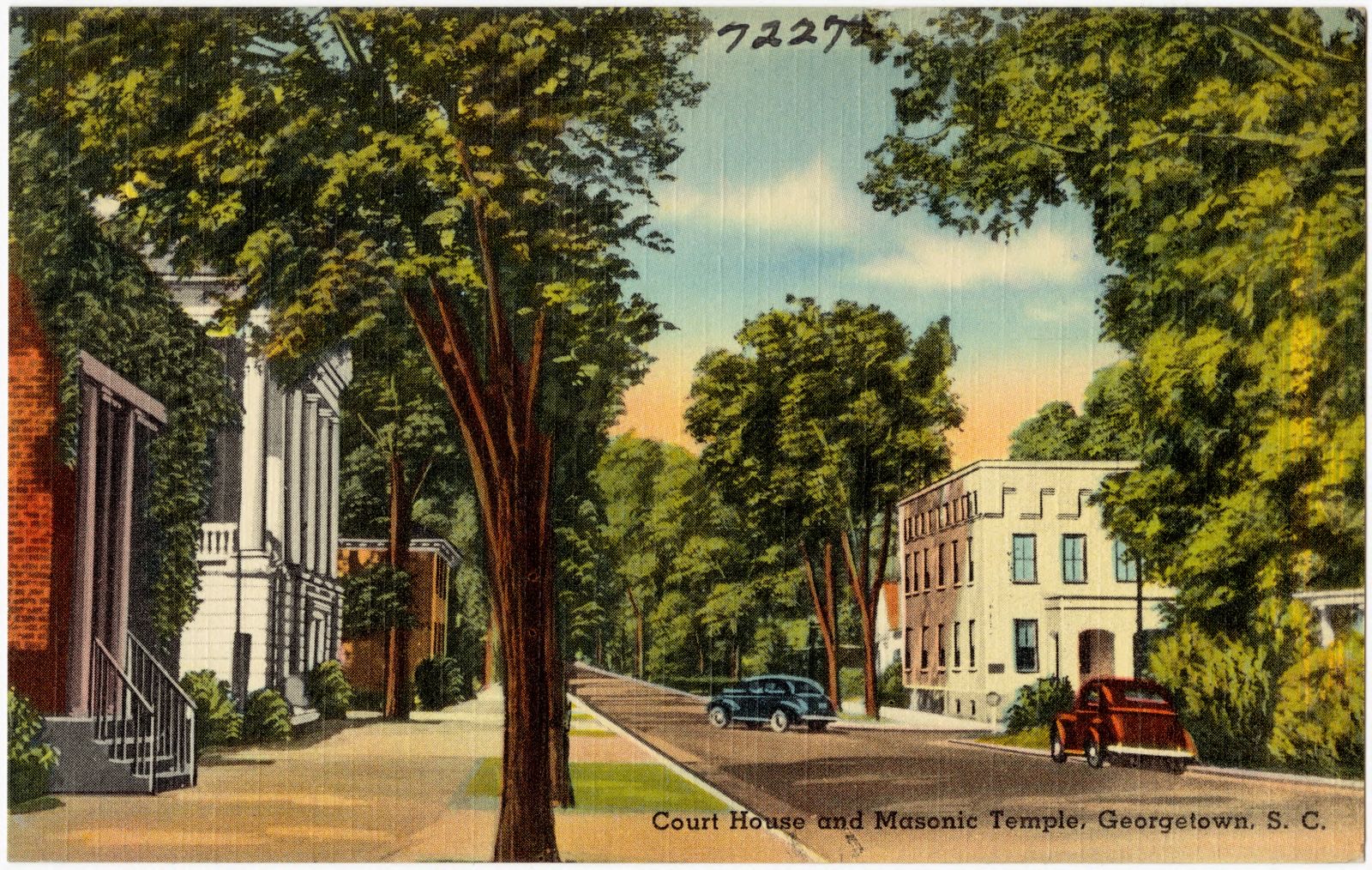
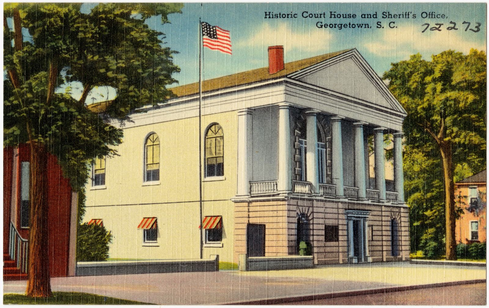
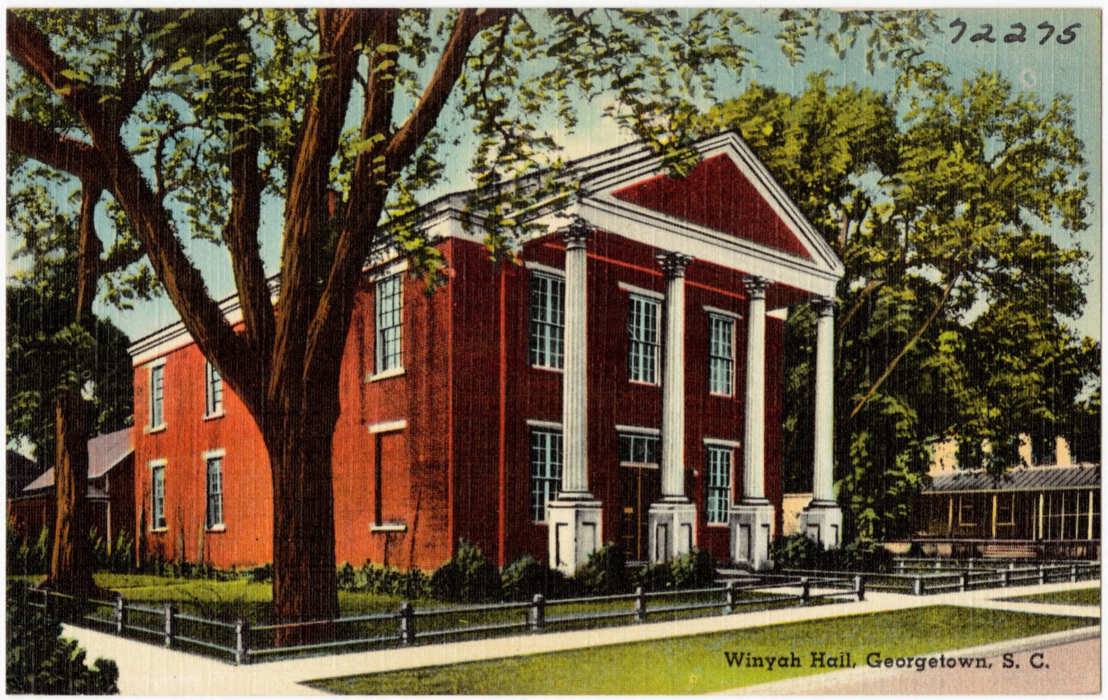
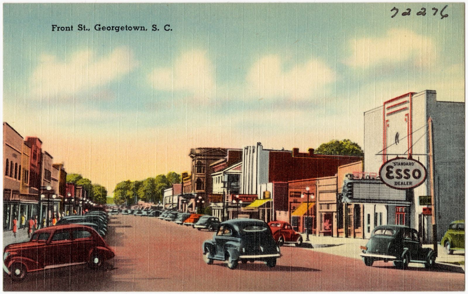
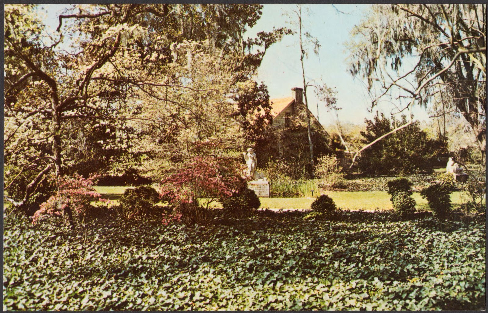
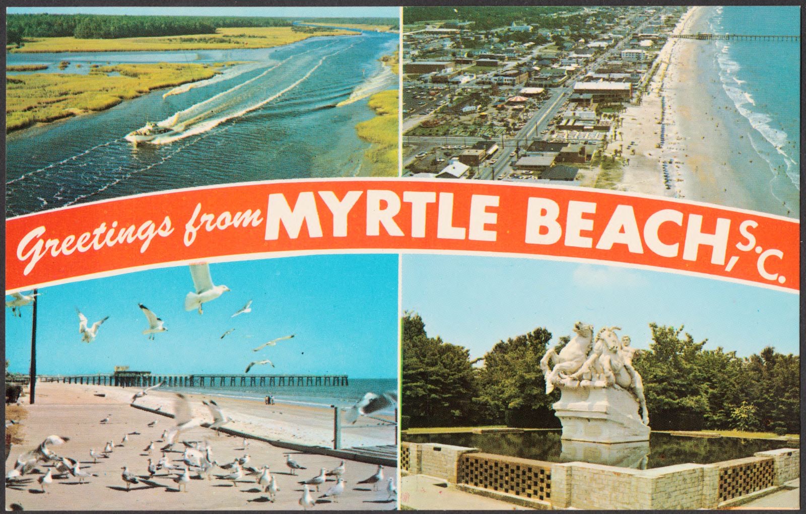
Selected from the Digital Public Library of America's 20 image records catalogued for this county. Every one shown here carries a public-domain status or a licence that permits reuse on a site that carries advertising; non-commercial, share-alike and restricted images are excluded. The selection is spread across the county's towns (at most eight per town), so no single institution's bulk upload crowds out the rest. Each opens the holding library's record, and the complete set at the Digital Public Library of America is one click away.


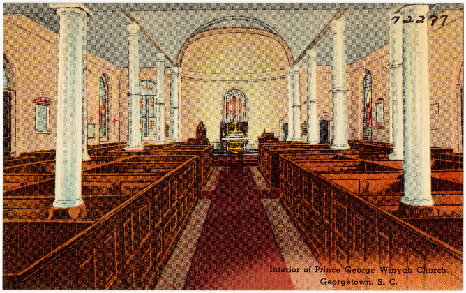
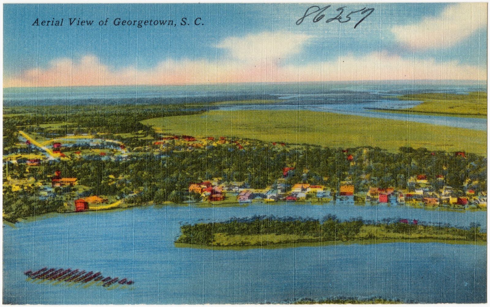
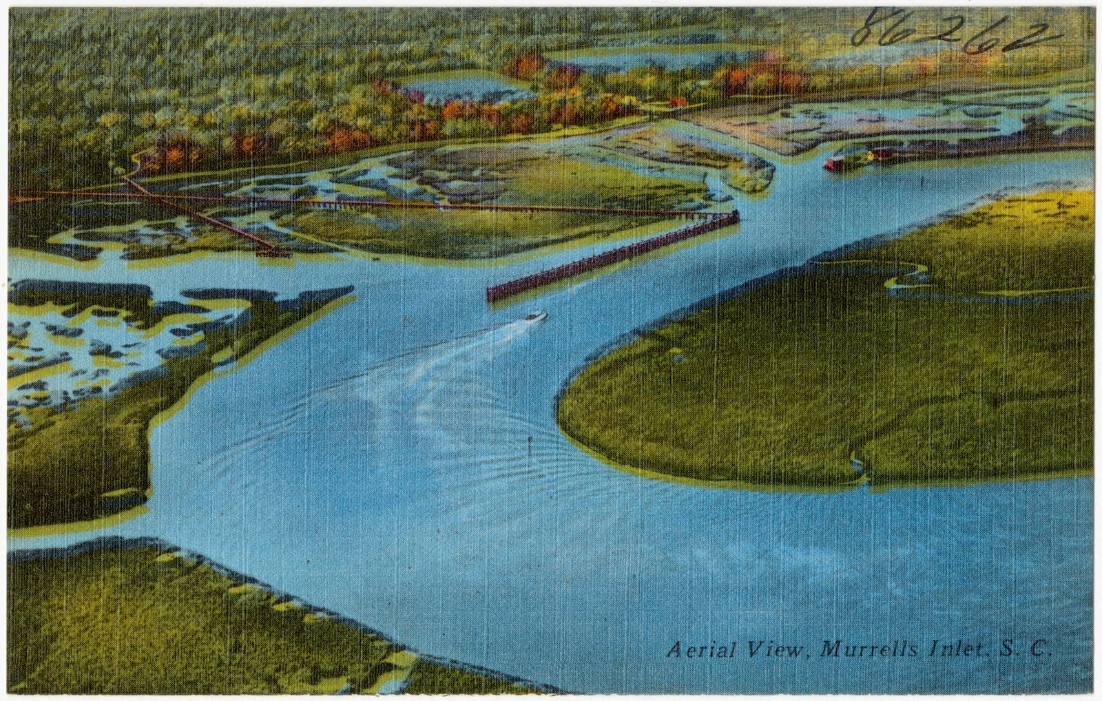
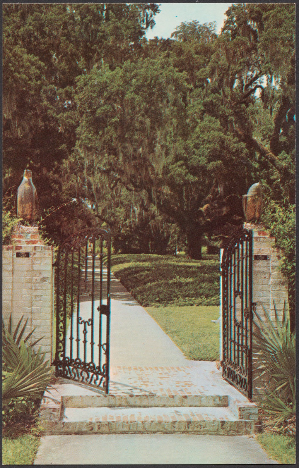
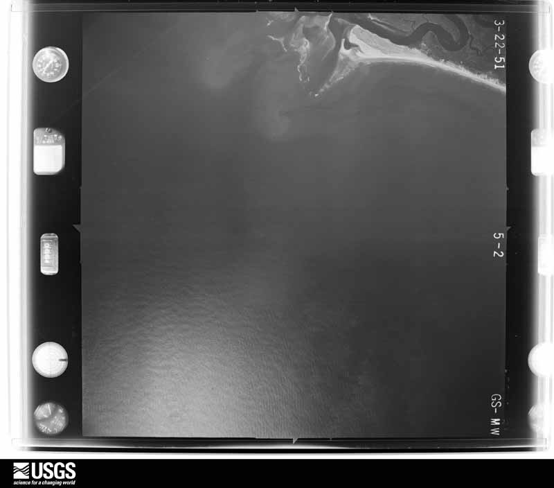
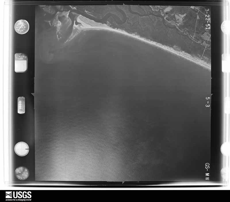
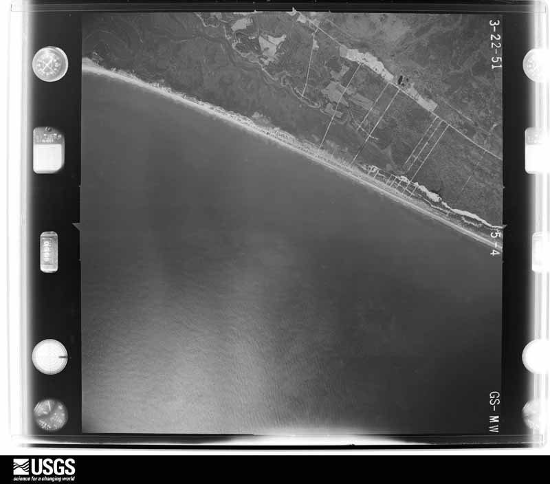
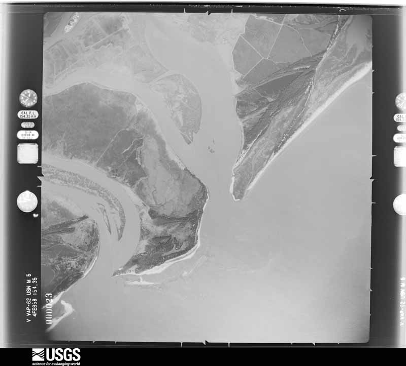
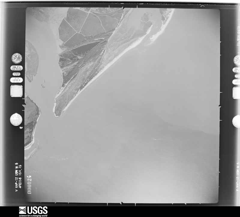
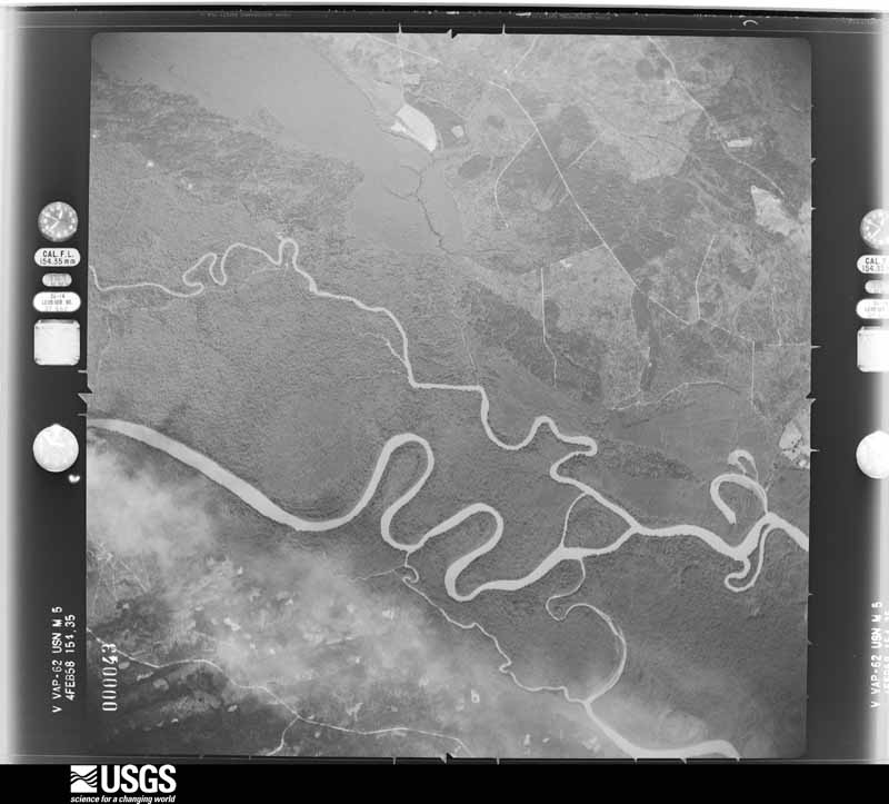
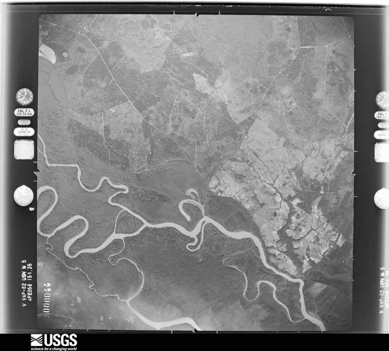
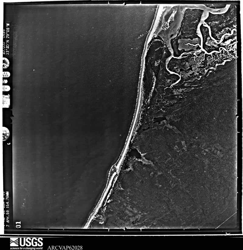
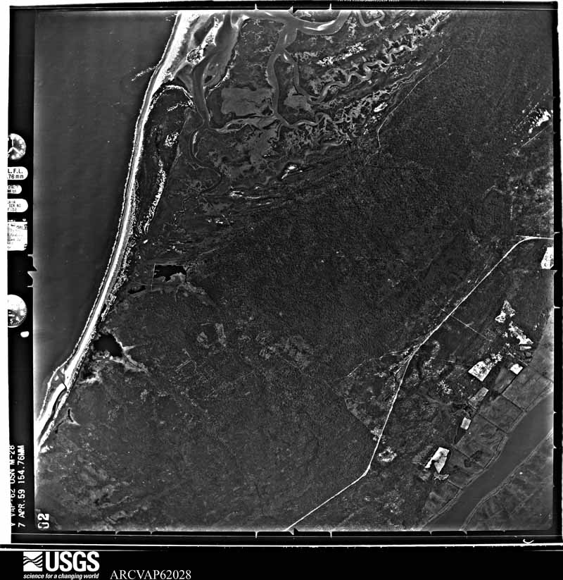
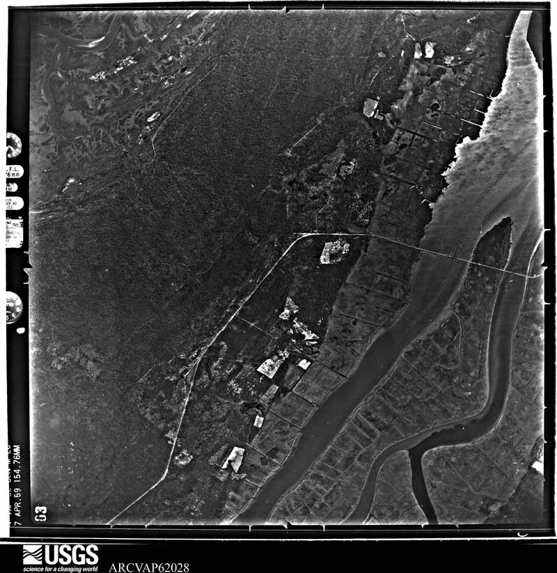
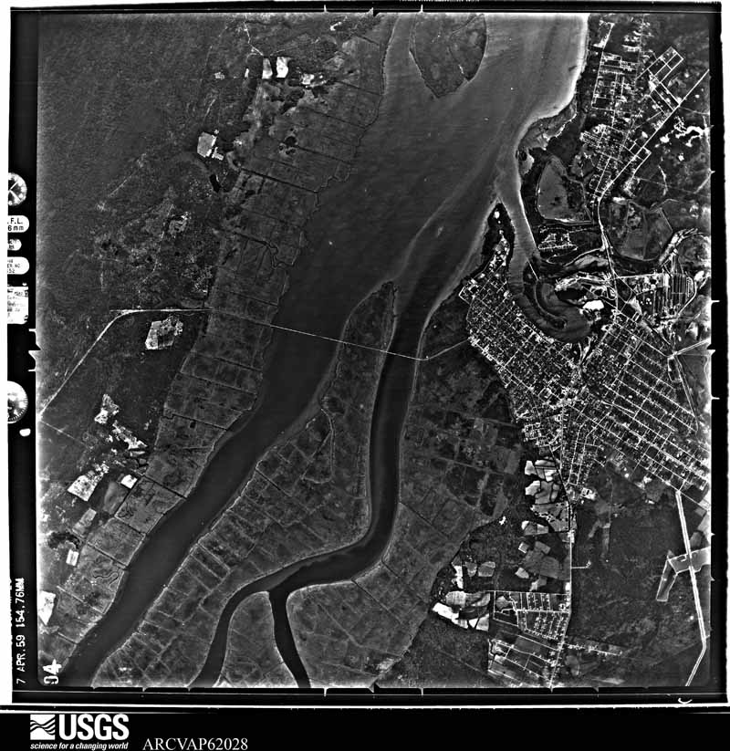
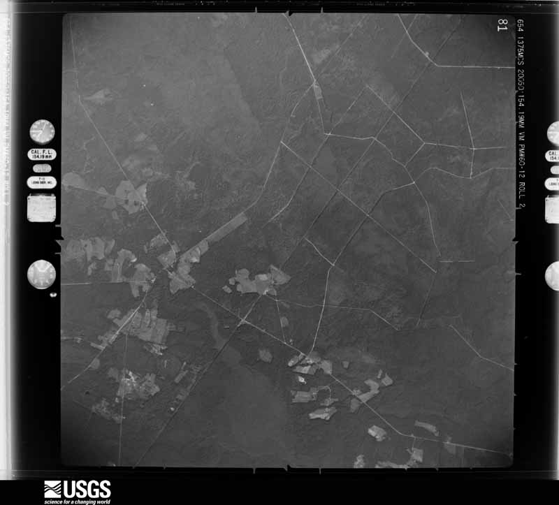
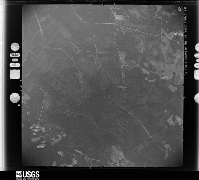
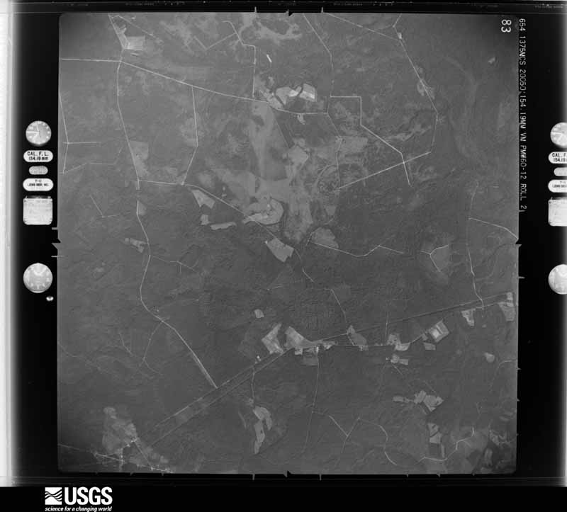
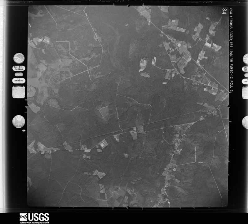
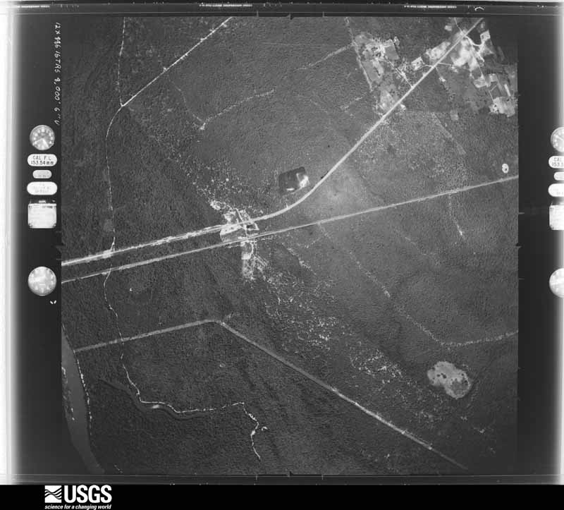
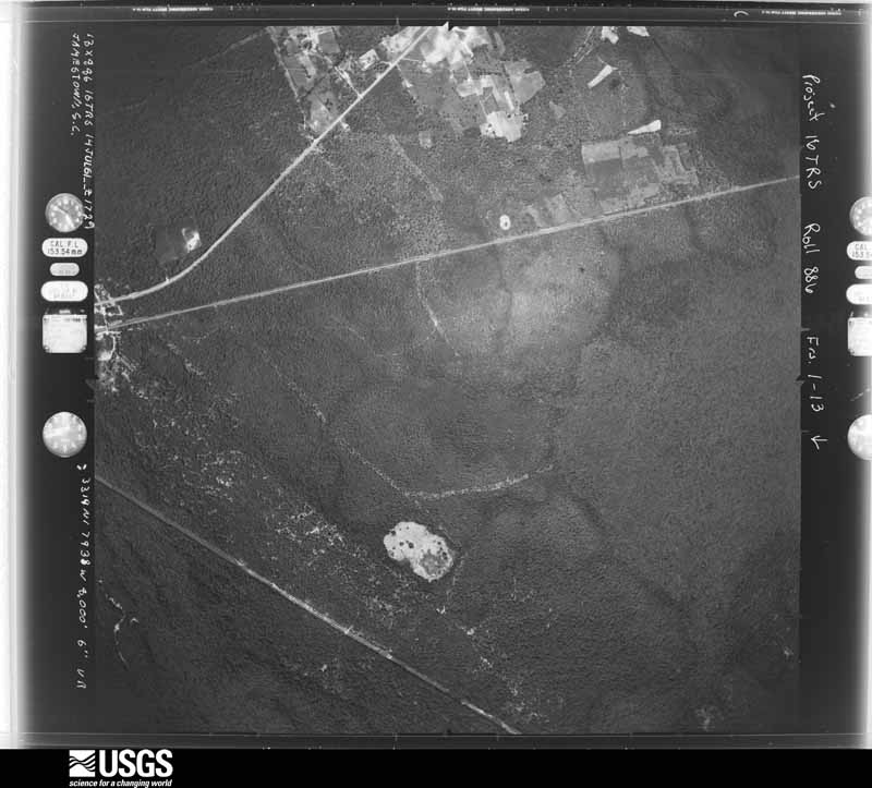
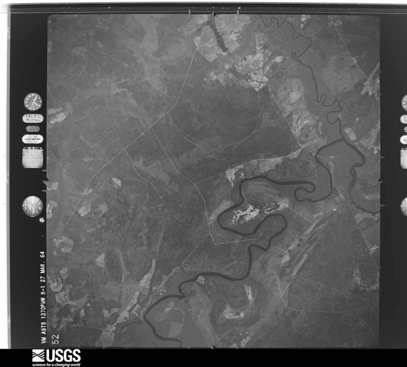
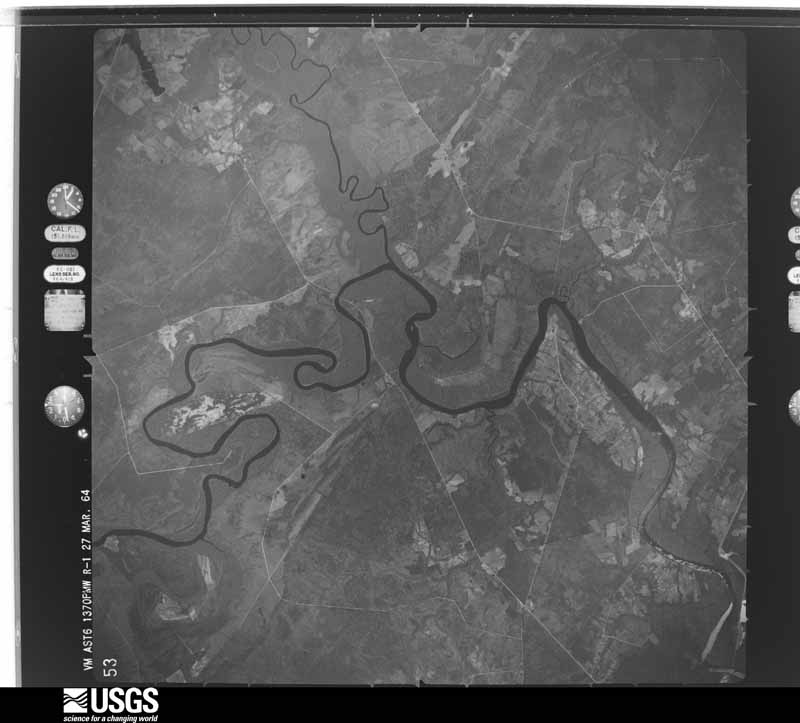
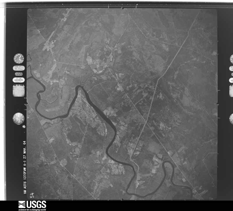
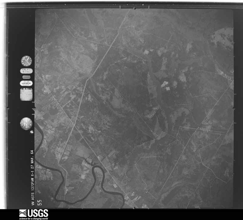
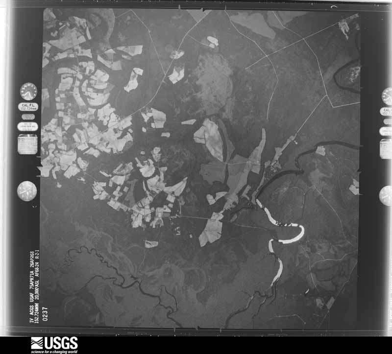
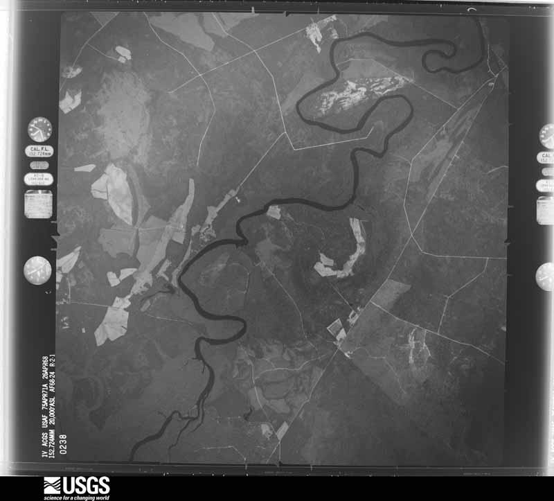
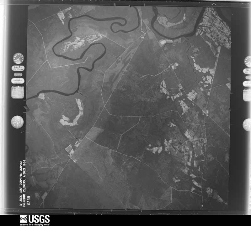
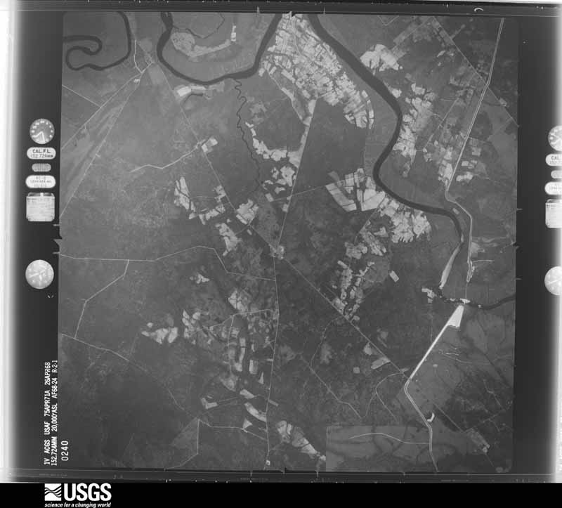
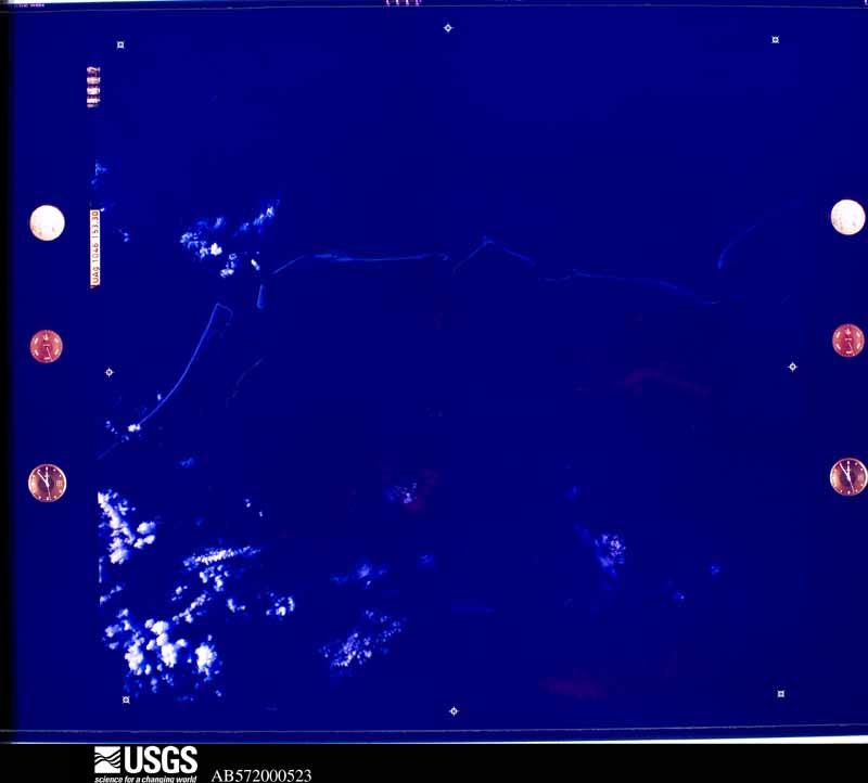
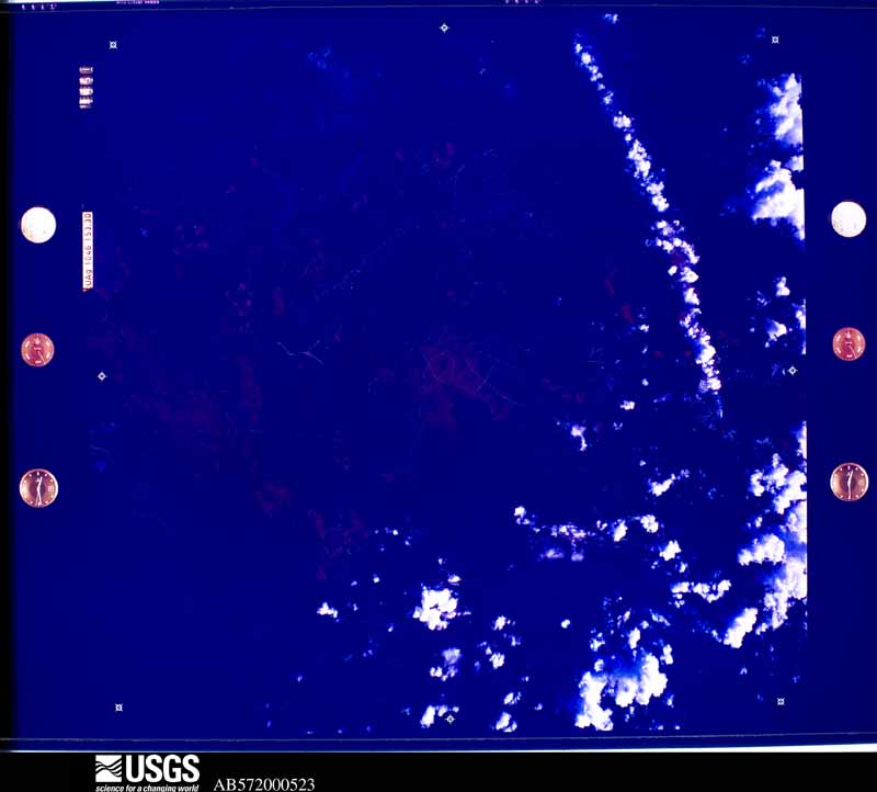
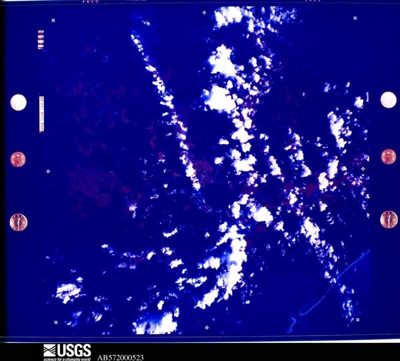
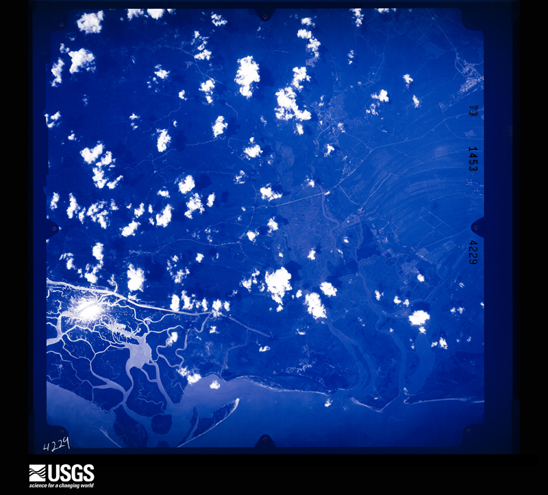
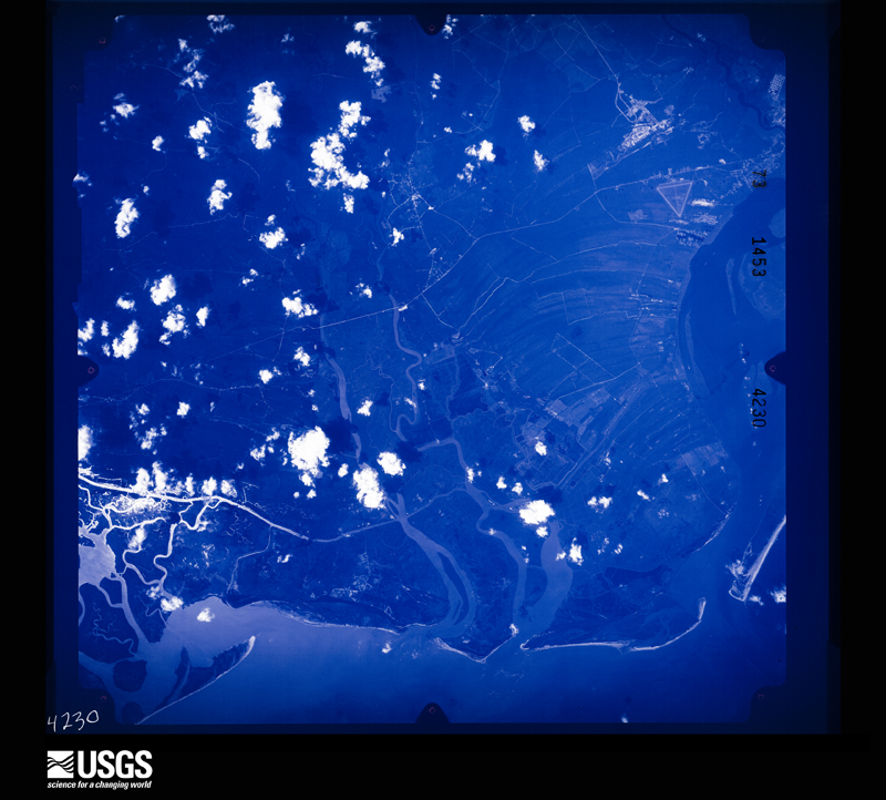
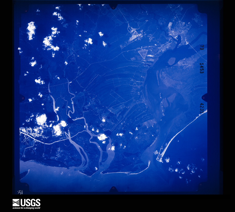
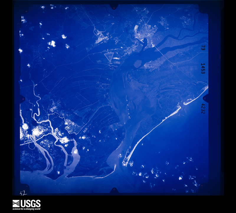
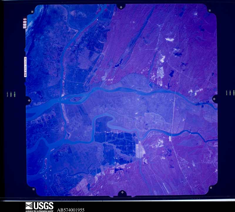
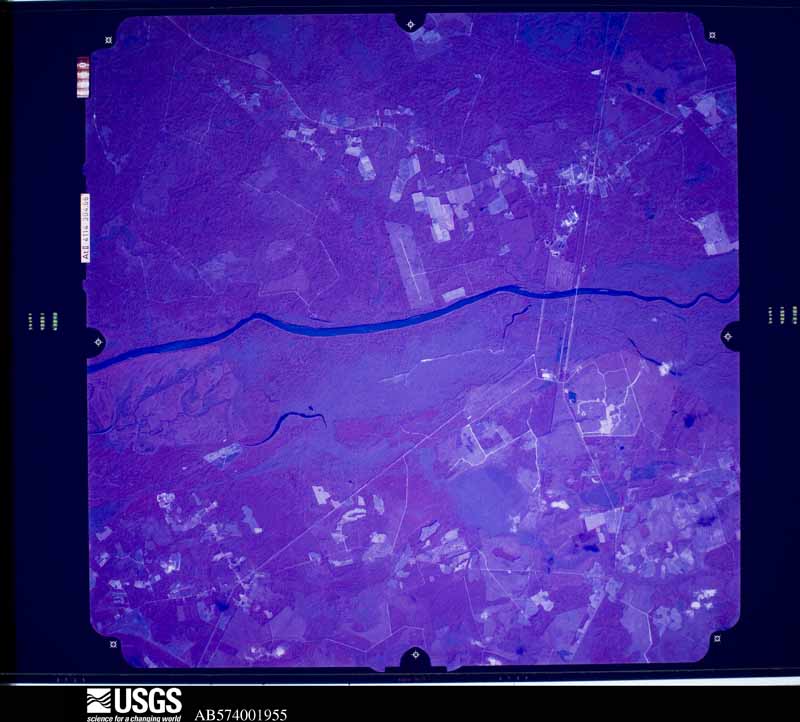
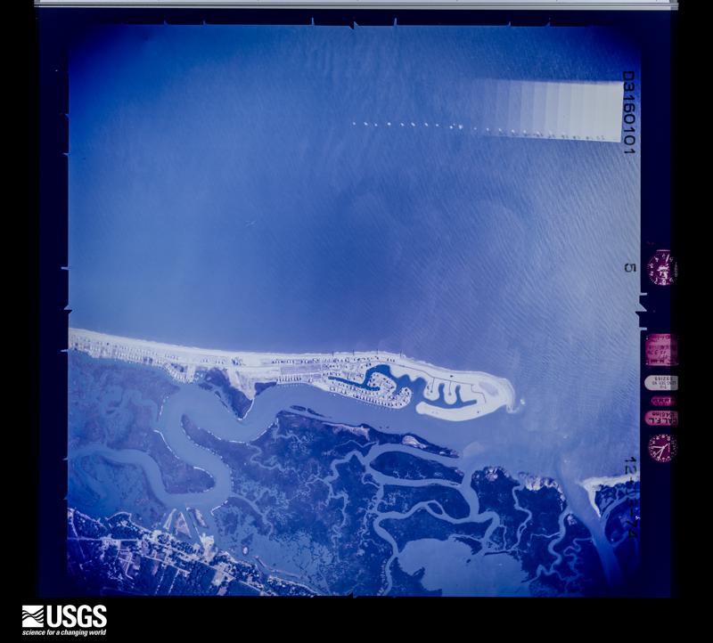
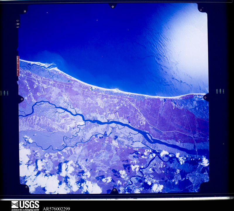
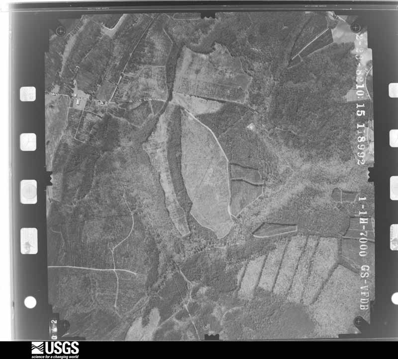
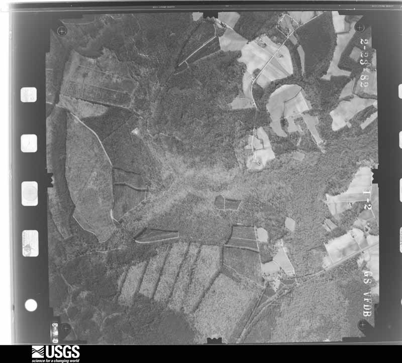
Flown by the U.S. Geological Survey between 1937 and 1989, the Aerial Photo Single Frames collection is the definitive mid-century view of the land: fields, roads and rivers as the camera saw them. The Survey holds 1,922 frames inside the rectangle that bounds this county; the 48 frames below were taken over the county itself, chosen across the decades of flights (at most four a year from that rectangle), so one flight cannot crowd out the rest. The full set is free to browse and download at EarthExplorer under the dataset Aerial Photo Single Frames.








The thermometers that kept this county's weather, and the gages that measured the flow of its streams, as the federal records hold them. The extremes below are measured values from those records, not estimates.
Who lived here in 1950, one enumeration district at a time, as the Census Bureau described each district. Each row opens its official National Archives result, with Population Schedules and ED Maps available there.
Every wildfire the federal occurrence database records inside this county: 2,195 of them, burning about 22,906 acres. 53 started naturally and 536 were recorded as arson. Each settlement page carries the fires within five miles of it.
| Reported cause | Fires |
|---|---|
| Debris and open burning | 752 |
| Missing data/not specified/undetermined | 693 |
| Arson/incendiarism | 536 |
| Equipment and vehicle use | 77 |
| Natural | 53 |
| Misuse of fire by a minor | 41 |
| Power generation/transmission/distribution | 16 |
| Railroad operations and maintenance | 10 |
| Smoking | 5 |
| Other causes | 4 |
| Fireworks | 4 |
| Recreation and ceremony | 4 |
The five largest, by the area the report gives. Two of them were set deliberately.
| Date | Cause | Size | Reported by | Name on the report |
|---|---|---|---|---|
| 10 March 1997 | Missing data/not specified/undetermined | 3,150 acres | South Carolina Forestry Commission | not named |
| 21 April 2009 | Debris and open burning | 1,089 acres | Waccamaw National Wildlife Refuge | JOE BAY FIRE |
| 6 April 2002 | Debris and open burning | 856 acres | South Carolina Forestry Commission | not named |
| 19 February 2005 | Arson/incendiarism | 400 acres | South Carolina Forestry Commission | not named |
| 20 April 1996 | Missing data/not specified/undetermined | 359 acres | South Carolina Forestry Commission | not named |
| 15 April 2009 | Arson/incendiarism | 324 acres | South Carolina Forestry Commission | INDINA HUT ROAD |
| 15 April 1994 | Missing data/not specified/undetermined | 306 acres | South Carolina Forestry Commission | not named |
| 30 June 1998 | Debris and open burning | 300 acres | South Carolina Forestry Commission | not named |
Every settlement page carries the fires within five miles of it - see the settlement index below.
The NOAA Storm Events Database holds 397 reports for this county, causing 12 deaths, 36 injuries and about $9,972,500 in recorded property damage. Each settlement page carries the reports that name it.
| Kind of event | Reports |
|---|---|
| Thunderstorm Wind | 173 |
| Hail | 97 |
| Flash Flood | 46 |
| Tornado | 23 |
| Heavy Rain | 18 |
| Lightning | 17 |
| Flood | 14 |
| Waterspout | 3 |
| Funnel Cloud | 3 |
| Rip Current | 2 |
| Wildfire | 1 |
The most serious of them, by death, then injury, then recorded damage. The accounts are quoted exactly as the forecast office filed them.
| When | Event | Place named | Harm | What the report says |
|---|---|---|---|---|
| May 1974 | Tornado (F1) | not stated | 6 killed, 1 hurt, $25,000 | no account filed |
| July 2019 | Lightning | Olin | 1 killed, 12 hurt | Lightning struck a tree at Lawshe Plantation where a group of people were huddled under it. Twelve were injured, and one person later died at the hospital. |
| March 2001 | Flood | Georgetown | 1 killed, $25,000 | Heavy rains and clogged drains contributed to localized flooding in the town of Andrews. On US 17A, 4 miles west of Georgetown a motorist was killed and two were injured when a car hydroplaned into another vehicle. |
| September 2018 | Flash Flood | Plantersville | 1 killed, $20,000 | A person accidentally drove into a flooded area and drowned. |
| September 2008 | Heavy Rain | Andrews | 1 killed, $10,000 | Heavy rain caused a motorist on Hwy 521 to lose site of the road, and the vehicle ended in a dranage ditch parallel to the road. The man drowned while extricating himself from the vehicle. |
| September 2004 | Rip Current | Murrells Inlet | 1 killed | Strong rip currents caused by the swells from Hurricane Jeanne resulted in a drowning. Five other people had to be rescued by lifeguards. |
| June 1997 | Rip Current | Pawleys Is | 1 killed | 59 YEAR OLD MALE DROWNED AFTER JUMPING INTO THE WATER TO RESCUE A YOUNG MAN CAUGHT IN A RIP CURRENT |
| October 2002 | Tornado (F2) | Georgetown | 8 hurt, $750,000 | Tornado touched down with strong F2 damage near the corner of Merriman and Emanuel Roads, destroying 5 manufactured homes, a car and 2 houses before continuing NE with scattered F1 damage...described as major to a total of 28 structures and minor to 78 more...including homes, businesses, churches and also trees as it traveled a mile through residential streets. The tornado continued another 0.25 mile with F0 damage to trees before moving out over marshland. Eight people were hospitalized for minor injuries, where they were treated and released. |
| June 1998 | Lightning | Murrells Inlet | 3 hurt | no account filed |
| August 2001 | Lightning | Murrells Inlet | 2 hurt | Emergency manager reported that two people were struck by lightning. The extent of the injuries is unknown. |
| September 2000 | Flash Flood | Georgetown | 1 hurt, $750,000 | The remnants of Tropical Storm Gordon passed over Georgetown county. Based on spotter reports and radar estimates, over 8 inches of rain fell in a short period of time in the town of Georgetown. Numerous streets were reported flooded by emergency managers, and newspaper accounts illustrated standing water in excess of 2-3 feet in many areas. Many motorists had to abandon their cars due to the rising water, with many automobiles sustaining water damage. Numerous homes also sustained flood damage, particularly along Hawkins Street. Most businesses were forced to close for the day along Front and Fraser Streets, an area that was particularly hard hit with flooding. Only one injury was reported when a policeman had a heart attack after the flood waters entered his home. He was treated and released from a local hospital. |
| August 2020 | Tornado (EF0) | Sunny Side | 1 hurt, $100,000 | Waterspout moved onshore near 813 South Waccamaw Dr in Garden|City. It caused damage to a few homes as it quickly moved across|the island. It dissipated over the adjacent marshes west of the|island. An injury occurred at one of the homes along the beach |front. |
| November 1995 | Tornado (F1) | Sampit | 1 hurt, $40,000 | Brief touchdown severely damaged house and snapped tree tops. |
| April 2011 | Thunderstorm Wind | Pelersfield | 1 hurt, $5,000 | A large tree limb fell onto a car injuring the occupant. The occupant was transported to the hospital. |
| May 1995 | Thunderstorm Wind | Georgetown | 1 hurt, $500 | Lightning injury.,,,,,,,, |
| June 2025 | Thunderstorm Wind | Pawleys Is | 1 hurt | A large tree was reported down on roadway at Kings River Road at Knight Circle in Pawleys Island. Tree struck a pedestrian who was running on the bike path, who was then transported to the hospital. |
| May 2015 | Lightning | Plantersville | 1 hurt | A man was under his truck when it was struck by lightning. He sustained only minor injuries. |
| July 2008 | Lightning | Pawleys Is | 1 hurt | Multiple lightning strikes hit 10 homes, setting one ablaze. The homes were in the Debordieu and Prince George Island communities of Pawleys Island. A firefighter was struck by the lighting while attempting to put out the fire. The strike was channeled through a fire hose, and the firefighter was taken to the hospital with minor injuries. |
| August 2001 | Lightning | Georgetown | 1 hurt | Georgetown 911 reported a person was struck by lightning. The extent of the injuries is unknown. A structure was also reported to be on fire due to lightning. The damage amount is unknown. |
| June 1997 | Lightning | Andrews | 1 hurt | MAN STRUCK BY LIGHTNING ABOUT 10 NE OF ANDREWS, NEAR RHEMS. |
| September 1979 | Tornado (F2) | not stated | $2,500,000 | no account filed |
| October 2005 | Heavy Rain | Georgetown | $1,500,000 | The remnants of Tropical Storm Tammy, in conjunction with a weak upper level disturbance in the Caribbean set up an unusually long and sustained fetch of tropical moisture over the area. The heaviest rain occurred from about 20 miles from the coast, where between 6 and 8 inches fell over a two day period on average, with isolated amounts over 12 inches were observed near the city of Georgetown. Some residents in Georgetown county said the flooding was the worst they had ever experienced. Many roads were under water and impassable. Much of the damage was due to the cost of repairing roads that were completely washed out. Several homes had several feet of water in them on Highmarket St., and many businesses had minor water damage. |
| October 2015 | Flash Flood | Maryville Hgts | $600,000 | Portions of Highway 17, 17A, 521 and 701 were closed due to flood waters. The water was reportedly up to 5 feet deep in portions of Georgetown. There were reports of flooded homes and businesses. A nursing home was being evacuated due to severe flooding. Numerous vehicles were stranded in the flood waters and the occupants had to be rescued and brought to safety. |
| June 2008 | Lightning | Sunny Side | $350,000 | Lightning struck the roof of a house on Bear Creek Loop and started a fire. The fire burned for about two hours and the house was a total loss. A woman inside the single-story dwelling was showering when the lightning struck. She described being jolted across the room by the lightning strike. Medical personnel examined her and stated she was not hurt. |
| October 2015 | Flash Flood | Andrews | $300,000 | North Poplar Avenue was reportedly flooded and numerous homes and other structures were inundated with flood waters. |
| October 2015 | Flash Flood | Puncheon Creek | $300,000 | The entire length of Main Street in Andrews and adjacent areas were flooded out. Main Street was reportedly closed to traffic. |
| June 1998 | Thunderstorm Wind | Andrews | $300,000 | no account filed |
| October 2015 | Flash Flood | Georgetown | $200,000 | Church Street and adjacent areas to include Orange Street, Wood Street and King Street were reported flooded. There were reports of water rescues on Church Street. |
| June 2024 | Thunderstorm Wind | Fraserville | $150,000 | Several trees were down along with power outages. Brookgreen Gardens reported $150,000 in damages. |
| October 2015 | Flash Flood | Georgetown | $150,000 | Flood water was reportedly entering homes on South Kaminski Street. |
| July 2006 | Lightning | Choppee | $150,000 | Lightning started a fire that destroyed a home in Choppee. |
| April 2020 | Tornado (EF1) | New Hope | $100,000 | The tornado formed near Sampit, SC just south of Saints-Delight Rd. It crossed |Powell Rd near Anna Dr. causing damage to power lines and trees. The tornado |moved across a swampy area just south of Sampit then crossed Hwy 17 alt/Hwy 521|causing damage to an auto repair shop, a small double-wide office and two rail |road gates. The tornado then moved across the Sollie Road area causing damage to |trees and a few mobile homes. It finally lifted after crossing a field between|Sollie Circle and Goings St. |
| April 2011 | Tornado (EF1) | Olin | $100,000 | A National Weather Service Storm Survey Team concluded an EF1 tornado touched down 7 miles east-southeast of Andrews, South Carolina. The maximum wind speed was estimated to 110 mph. The path length was a little less than one-half of a mile and the maximum path width was 60 yards. The tornado touched down west of Indian Hut Road and then crossed the roadway before lifting east of the roadway. There were more than 400 trees snapped on both sides of Indian Hut Road. The road was blocked by dozens of trees before it was finally cleared. |
| August 1996 | Flash Flood | Murrells Inlet | $100,000 | no account filed |
| April 2020 | Tornado (EF1) | New Hope | $75,000 | A tornado formed southwest of Pennyroyal Rd just south of Rowan Dr. The tornado|crossed Pennyroyal Rd and caused significant tree damage on both sides. Power|lines were also downed at this location. The tornado moved across the swampy areas|near the Sampit River as if lifted toward the northeast. Eventually it moved|across Hwy 17 Alt/Hwy 521 near Keever St. with tree damage on both sides of the|highway. The tornado caused damage near Garrison Rd where numerous trees were|snapped and uprooted. A home suffered some damage at this location with a |destroyed carport and a couple damaged cars. A mobile home was damaged near Gapway Rd along with damaged power lines. It lifted toward the east-northeast and impacted a small section along Brick Chimney Rd before moving into Pawley Swamp. The tornado finally lifted near Brown's Ferry Road and Dana Lane where it downed large limbs and some trees. |
| October 2015 | Flash Flood | Georgetown | $60,000 | Several streets around Georgetown were reported closed due to flash flooding. |
| October 2015 | Flash Flood | Graves | $60,000 | The Sampit River was reportedly overflowing. Areas adjacent to the river were being flooded. |
| April 2011 | Tornado (EF1) | Oatland | $60,000 | A National Weather Service Storm Survey Team concluded an EF1 tornado touched down 11 miles east of Andrews, South Carolina. The maximum wind speed was estimated to 105 mph. The path length was a half mile and the maximum path width was 60 yards. The tornado touched down west of Johnson Road and caused significant damage to over 50 large trees which were either snapped or uprooted. A roof was ripped off a small shed and another small shed was rolled over. Damage also occurred to a pickup truck. the tornado moved across Johnson Road and then lifted east of the roadway. |
| April 2017 | Flash Flood | Italy | $50,000 | Several structures were reportedly flooded in the city of Andrews, especially along Rosemary Ave. which was reportedly impassable. Poor drainage contributed to the flooding. |
| October 2015 | Flash Flood | North Santee | $50,000 | Portions of Earl Road were reported flooded. |
| August 2001 | Lightning | Georgetown | $50,000 | Lightning struck an over 100 year old home on 430 Highmarket St. , severely damaging it. |
| September 1997 | Tornado (F1) | North Santee | $50,000 | Tornado destroyed 1 mobile home and damaged 4 others. |
| January 1995 | Thunderstorm Wind | west & south parts | $50,000 | Trees and power lines down. |
| August 1996 | Lightning | Sampit | $50,000 | no account filed |
| April 2011 | Tornado (EF0) | Puncheon Creek | $40,000 | A National Weather Service Storm Survey Team concluded an EF0 tornado 4 miles south-southeast of Andrews, South Carolina. The maximum wind speed was estimated to 80 mph. The path length was almost two-thirds of a mile and the maximum path width was 30 yards. A tornado touched down near two doublewide trailers on Dave McKenzie Drive. The tornado caused damage to the roof deck of one of the trailers and damaged the skirt and swing set of the other trailer. It also knocked down six trees and tossed two aluminum boats across the yard. The tornado then moved into a wooded area before crossing Gallop Lane and lifting just to the east of the roadway. A dozen trees were snapped and uprooted, some of the fallen trees blocked Gallop Lane. |
| October 2015 | Flash Flood | Chicorawood Plantati | $35,000 | Fredrick Drive was reported closed due to flooding. |
| April 2011 | Thunderstorm Wind | Olin | $32,000 | A National Weather Service Storm Survey Team concluded a microburst with winds to 70 mph occurred along a small portion of Rambo Lane. The microburst had a path length of one-quarter of a mile and a maximum path width of 80 yards. Two dozen trees were either snapped or uprooted. The microburst also caused minor damage to the skirt and siding of a nearby doublewide trailer. |
| October 2015 | Flash Flood | Rice Hope Plantation | $30,000 | The water depth on the northbound lane of Highway 17, south of Georgetown was reportedly up to 6 feet deep. |
| September 2004 | Tornado (F1) | Carvers Bay | $30,000 | A tornado snapped telephone poles, uprooted trees, and moved a mobile home off its foundation. The tornado also destroyed several sheds and outhouses. |
| May 2003 | Thunderstorm Wind | Yauhannah | $30,000 | A storm survey concluded straight-line winds downed two trees, one falling on a house. Power lines were also reported down. |
| April 2011 | Tornado (EF0) | Oceda | $28,000 | A National Weather Service Storm Survey Team concluded an EF0 tornado briefly touched down near the Georgetown-Williamsburg County line in southwest Georgetown County, South Carolina. The maximum wind speed was estimated to 75 mph. The path length was less than one-quarter of a mile and the maximum path width was 30 yards. A dozen trees were uprooted and snapped near the intersection of Saints Delight Road and Highway 41. One home suffered minor siding and flashing damage. The tornado moved across Saints Delight Road and then lifted. |
| November 2012 | Hail | Wachesaw Lndg | $25,000 | Hail to the size of golf balls covered the landscape to include roadways, homes and vehicles. Cars were reportedly damaged. The hail took some tree limbs down and stripped leaves. |
| August 2002 | Thunderstorm Wind | Georgetown | $25,000 | 911 reported a tree fell on a house. |
| August 1953 | Tornado (F1) | not stated | $25,000 | no account filed |
| June 2012 | Thunderstorm Wind | Italy | $22,000 | A downburst caused wind damage in Andrews, South Carolina. The path length was just over a mile and a quarter, from Conifer Street and North Rosemary Avenue to South Farr Avenue and South Beech Avenue to Cedar Avenue and West Hemlock Street. Eight large trees were blown down and blocking roadways. Fallen trees knocked down power lines. One large tree fell on a car, trapping three people inside, but there were no injuries. The corner of a roof was ripped off a house, a variety store and two out buildings sustained minor roof damage. Power was reportedly off in the city of Andrews. |
| October 2025 | Flash Flood | Georgetown | $20,000 | Water entered the Georgetown Marketplace business. Video footage shows significant flooding across Front St in Georgetown. |
| April 2020 | Tornado (EF2) | Annieville | $20,000 | This tornado primarily remained EF-0/EF-1 as it moved across portions of|North Litchfield Beach near Boyle Dr. and Cayman Loop where several very |large limbs were down. The tornado picked up some strength as it moved|near Lakeshore Dr. (likely just west of the road) before crossing near |Trace Dr near the intersection of Cockle Shell Ct. There were numerous|large trees uprooted in the woods on the north side of Trace Dr. The|tornado then lifted northeast into Huntington State Park causing minor|damage to some trees near the parking area and some shingle damage to |the castle building. The tornado likely moved along the beach of the|state park before moving offshore and passing very near the Murrells Inlet|WeatherFlow meteorological station where it recorded a wind gust to 114 mph|(EF-2 waterspout). |
| October 2015 | Flash Flood | Oak Grove | $20,000 | Saint Delights Road was reportedly closed due to flooding. |
| May 2012 | Flood | Parkersville | $20,000 | Standing water was reported on Hwy 17 for four to five blocks near Tiller Drive. Four cars were in roadside ditches due to accidents. |
| July 2011 | Flood | Georgetown | $20,000 | Between five and seven inches of rain fell on the city of Georgetown. There were reports of two feet of standing water on Hwy 17 S at City Hall. Flooding was also reported on Duke St., South Congdon, Hazard St, Wood St., and Kaminski St. City Fire rescued two persons from flooded cars. |
The Survey's mineral resources record lists 22 workings inside this county. 6 still produce and 16 are closed or unrecorded. Each settlement page carries the workings within five miles of it.
| Commodity | Workings |
|---|---|
| Sand and Gravel, Construction | 13 |
| Stone, Crushed/Broken | 2 |
| Zirconium, Iron, Titanium | 1 |
| Titanium, Iron | 1 |
| Iron, Thorium, Zirconium, Titanium | 1 |
| Iron, Zirconium, Thorium, Titanium | 1 |
| Limestone, General, Stone, Crushed/Broken | 1 |
| Zirconium | 1 |
| Iron | 1 |
The least common of them first, because a county's hundredth gravel pit says nothing its first ten did not.
| Where | Site | Commodity | Status | Recorded |
|---|---|---|---|---|
| Georgetown Quarry | Limestone, General, Stone, Crushed/Broken | Producer | Sedimentary | |
| Georgetown Steel/ Georgetown, S.C. | Iron | Unknown | ||
| M & T Chemicals/ Andrews, S.C. | Zirconium | Plant | ||
| Olin Quadrangle | Titanium, Iron | Unknown | Placer , Modern , Beach | |
| Pawleys Island | Iron, Zirconium, Thorium, Titanium | Unknown | Placer , Modern , Beach | |
| Santee Quadrangle | Zirconium, Iron, Titanium | Unknown | Placer , Modern , Beach | |
| Waverly Mills Quadrangle | Iron, Thorium, Zirconium, Titanium | Unknown | Placer , Modern , Beach | |
| Georgetown Quarry | Stone, Crushed/Broken | Past Producer | ||
| Jamestown Plant | Stone, Crushed/Broken | Plant | ||
| Asphalt Plant No. 5 | Sand and Gravel, Construction | Producer | ||
| Ford Tract Mine | Sand and Gravel, Construction | Unknown | Sedimentary | |
| Georgetown Pit | Sand and Gravel, Construction | Unknown | Sedimentary | |
| Georgetown Pit | Sand and Gravel, Construction | Producer | ||
| Meurisena Sand Pit | Sand and Gravel, Construction | Unknown | Sedimentary | |
| Mine #5 | Sand and Gravel, Construction | Past Producer | Sedimentary | |
| North Santee Mine | Sand and Gravel, Construction | Unknown | Sedimentary | |
| Parsons Mine | Sand and Gravel, Construction | Producer | ||
| Plant 5 | Sand and Gravel, Construction | Unknown | Sedimentary | |
| Plant 5 | Sand and Gravel, Construction | Past Producer | ||
| Unknown Sand Mine | Sand and Gravel, Construction | Past Producer | Sedimentary | |
| Unnamed Sand Mine | Sand and Gravel, Construction | Unknown | Sedimentary | |
| Winyah Block Sand Pit | Sand and Gravel, Construction | Past Producer | Sedimentary |
Named settlements recorded in the Geographic Names Information System, each with the topographic sheets covering it. Villages, hamlets and abandoned places alike. Each is shown with the nearest named watercourse or landform and the survey quadrangle it falls on. The 1 place that was also surveyed for fire insurance comes first, with the number of atlases and photographs held for them.
Georgetown census division · 29440 · Georgetown North quadrangle
9 sheets, 1943 to 1986
Fire insurance: 8 atlases
Pleasant Hill-Folly Grove census division · 29554 · Outland quadrangle
9 sheets, 1943 to 1986
Plantersville census division · 29440 · On Cottage Creek · Georgetown North quadrangle
9 sheets, 1943 to 1986
Plantersville census division · 29440 · On Stony Run Creek · Carvers Bay quadrangle
9 sheets, 1943 to 1986
Plantersville census division · 29440 · On Stony Run Creek · Carvers Bay quadrangle
9 sheets, 1943 to 1986
Pleasant Hill-Folly Grove census division · 29554 · Henry quadrangle
8 sheets, 1943 to 1986
Plantersville census division · 29585 · On Cooter Creek · Plantersville quadrangle
9 sheets, 1943 to 1986
Georgetown census division · 29440 · Georgetown South quadrangle
10 sheets, 1943 to 1986
Georgetown census division · 29440 · Georgetown South quadrangle
10 sheets, 1943 to 1986
Andrews census division · 29510 · On Indian Hut Swamp · Olin quadrangle
9 sheets, 1943 to 1986
Waccamaw Neck census division · 29585 · Near Pawleys Island · Waverly Mills quadrangle
9 sheets, 1942 to 1986
Waccamaw Neck census division · 29576 · On Allston Creek · Brookgreen quadrangle
11 sheets, 1943 to 1986
Waccamaw Neck census division · 29440 · Near Big Marsh Island · North Island quadrangle
9 sheets, 1942 to 1986
Plantersville census division · 29440 · On Cottage Creek · Georgetown North quadrangle
9 sheets, 1943 to 1986
Waccamaw Neck census division · 29576 · On Allston Creek · Brookgreen quadrangle
11 sheets, 1943 to 1986
Waccamaw Neck census division · 29576 · Near Richmond Island · Brookgreen quadrangle
11 sheets, 1943 to 1986
Pleasant Hill-Folly Grove census division · 29554 · Outland quadrangle
9 sheets, 1943 to 1986
Pleasant Hill-Folly Grove census division · 29554 · On Boser Swamp · Outland quadrangle
9 sheets, 1943 to 1986
Waccamaw Neck census division · 29585 · On Waverly Creek · Waverly Mills quadrangle
9 sheets, 1942 to 1986
Waccamaw Neck census division · 29585 · On Waverly Creek · Waverly Mills quadrangle
9 sheets, 1942 to 1986
Plantersville census division · 29440 · On Schoolhouse Branch · Rhems quadrangle
8 sheets, 1943 to 1986
Waccamaw Neck census division · 29440 · Near Goat Island · North Island quadrangle
9 sheets, 1942 to 1986
Georgetown census division · 29440 · On Black River · Georgetown North quadrangle
9 sheets, 1943 to 1986
Plantersville census division · 29554 · On Sally Branch · Yauhannah quadrangle
10 sheets, 1943 to 1986
Georgetown census division · 29440 · Georgetown North quadrangle
9 sheets, 1943 to 1986
Andrews census division · 29440 · On Schoolhouse Branch · Rhems quadrangle
8 sheets, 1943 to 1986
Pleasant Hill-Folly Grove census division · 29554 · Near Sand Ridge · Outland quadrangle
9 sheets, 1943 to 1986
Sampit-North Santee census division · 29440 · On Bonny Clabber Creek · South Santee quadrangle
9 sheets, 1943 to 1986
Waccamaw Neck census division · 29576 · On Whale Creek · Brookgreen quadrangle
11 sheets, 1943 to 1986
Sampit-North Santee census division · 29440 · On Boggy Swamp · Kilsock Island quadrangle
8 sheets, 1943 to 1986
Waccamaw Neck census division · 29440 · Near Debidue Island · North Island quadrangle
9 sheets, 1942 to 1986
Waccamaw Neck census division · 29440 · Near Debidue Island · North Island quadrangle
9 sheets, 1942 to 1986
Waccamaw Neck census division · 29440 · Near Debidue Island · North Island quadrangle
9 sheets, 1942 to 1986
Waccamaw Neck census division · 29440 · Near Big Marsh Island · North Island quadrangle
9 sheets, 1942 to 1986
Georgetown census division · 29440 · On Lanes Creek · Carvers Bay quadrangle
9 sheets, 1943 to 1986
Georgetown census division · 29440 · On Choppee Creek · Carvers Bay quadrangle
9 sheets, 1943 to 1986
Waccamaw Neck census division · 29576 · On Whale Creek · Brookgreen quadrangle
11 sheets, 1943 to 1986
Sampit-North Santee census division · 29440 · Kilsock Island quadrangle
8 sheets, 1943 to 1986
Waccamaw Neck census division · 29585 · Near Pawleys Island · Waverly Mills quadrangle
9 sheets, 1942 to 1986
Waccamaw Neck census division · 29585 · Magnolia Beach quadrangle
8 sheets, 1942 to 1986
Pleasant Hill-Folly Grove census division · 29554 · Outland quadrangle
9 sheets, 1943 to 1986
Waccamaw Neck census division · 29585 · Near Pawleys Island · Waverly Mills quadrangle
9 sheets, 1942 to 1986
Waccamaw Neck census division · 29585 · On Duncan Creek · Waverly Mills quadrangle
9 sheets, 1942 to 1986
Pleasant Hill-Folly Grove census division · 29554 · On Flat Swamp Run · Outland quadrangle
9 sheets, 1943 to 1986
Waccamaw Neck census division · 29576 · On Allston Creek · Brookgreen quadrangle
11 sheets, 1943 to 1986
Waccamaw Neck census division · 29576 · On Whale Creek · Brookgreen quadrangle
11 sheets, 1943 to 1986
Waccamaw Neck census division · 29576 · On Allston Creek · Brookgreen quadrangle
11 sheets, 1943 to 1986
Plantersville census division · 29440 · On Chapel Creek · Waverly Mills quadrangle
9 sheets, 1942 to 1986
Georgetown census division · 29440 · On Greens Creek · Georgetown North quadrangle
9 sheets, 1943 to 1986
Waccamaw Neck census division · 29585 · Magnolia Beach quadrangle
8 sheets, 1942 to 1986
Waccamaw Neck census division · 29585 · Magnolia Beach quadrangle
8 sheets, 1942 to 1986
Waccamaw Neck census division · 29585 · Magnolia Beach quadrangle
8 sheets, 1942 to 1986
Waccamaw Neck census division · 29576 · On Allston Creek · Brookgreen quadrangle
11 sheets, 1943 to 1986
Sampit-North Santee census division · 29440 · Kilsock Island quadrangle
8 sheets, 1943 to 1986
Plantersville census division · 29440 · On Pole Castle Branch · Plantersville quadrangle
9 sheets, 1943 to 1986
Waccamaw Neck census division · 29585 · On Duncan Creek · Waverly Mills quadrangle
9 sheets, 1942 to 1986
Georgetown census division · 29440 · On Sampit River · Georgetown South quadrangle
10 sheets, 1943 to 1986
Pleasant Hill-Folly Grove census division · 29554 · On Flat Swamp Run · Outland quadrangle
9 sheets, 1943 to 1986
Pleasant Hill-Folly Grove census division · 29554 · Outland quadrangle
9 sheets, 1943 to 1986
Waccamaw Neck census division · 29576 · On Allston Creek · Brookgreen quadrangle
11 sheets, 1943 to 1986
Plantersville census division · 29585 · On Pawleys Creek · Plantersville quadrangle
9 sheets, 1943 to 1986
Georgetown census division · 29440 · On Pennyroyal Creek · Georgetown South quadrangle
10 sheets, 1943 to 1986
Plantersville census division · 29585 · On Silver Creek · Brookgreen quadrangle
11 sheets, 1943 to 1986
Waccamaw Neck census division · 29576 · On Whale Creek · Brookgreen quadrangle
11 sheets, 1943 to 1986
Sampit-North Santee census division · 29440 · On Britt Branch · Kilsock Island quadrangle
8 sheets, 1943 to 1986
Waccamaw Neck census division · 29585 · Magnolia Beach quadrangle
8 sheets, 1942 to 1986
Sampit-North Santee census division · 29440 · On Bonny Clabber Creek · South Santee quadrangle
9 sheets, 1943 to 1986
Andrews census division · 29440 · On Britt Branch · Olin quadrangle
9 sheets, 1943 to 1986
Waccamaw Neck census division · 29576 · On Allston Creek · Brookgreen quadrangle
11 sheets, 1943 to 1986
Georgetown census division · 29440 · On Boheck Creek · Georgetown North quadrangle
9 sheets, 1943 to 1986
Waccamaw Neck census division · 29585 · Magnolia Beach quadrangle
8 sheets, 1942 to 1986
Waccamaw Neck census division · 29585 · On Pawleys Island · Magnolia Beach quadrangle
8 sheets, 1942 to 1986
Waccamaw Neck census division · 29585 · Near Pawleys Island · Waverly Mills quadrangle
9 sheets, 1942 to 1986
Waccamaw Neck census division · 29585 · On Butler Creek · Waverly Mills quadrangle
9 sheets, 1942 to 1986
Waccamaw Neck census division · 29585 · Near Pawleys Island · Waverly Mills quadrangle
9 sheets, 1942 to 1986
Pleasant Hill-Folly Grove census division · 29554 · Near Larrimore Gully · Yauhannah quadrangle
10 sheets, 1943 to 1986
Plantersville census division · 29440 · Plantersville quadrangle
9 sheets, 1943 to 1986
Andrews census division · 29510 · On Brightman Swamp · Olin quadrangle
9 sheets, 1943 to 1986
Pleasant Hill-Folly Grove census division · 29554 · Outland quadrangle
9 sheets, 1943 to 1986
Pleasant Hill-Folly Grove census division · 29554 · On Pennyroyal Swamp · Outland quadrangle
9 sheets, 1943 to 1986
Pleasant Hill-Folly Grove census division · 29554 · On Tyler Creek · Outland quadrangle
9 sheets, 1943 to 1986
Pleasant Hill-Folly Grove census division · 29554 · On Tyler Creek · Outland quadrangle
9 sheets, 1943 to 1986
Plantersville census division · 29440 · On Post Foot Branch · Carvers Bay quadrangle
9 sheets, 1943 to 1986
Georgetown census division · 29440 · On Four Mile Creek · Georgetown North quadrangle
9 sheets, 1943 to 1986
Sampit-North Santee census division · 29440 · Santee Point quadrangle
9 sheets, 1942 to 1986
Georgetown census division · 29440 · On Sixmile Creek · Georgetown North quadrangle
9 sheets, 1943 to 1986
Pleasant Hill-Folly Grove census division · 29554 · Yauhannah quadrangle
10 sheets, 1943 to 1986
Waccamaw Neck census division · 29576 · Near Richmond Island · Brookgreen quadrangle
11 sheets, 1943 to 1986
Waccamaw Neck census division · 29585 · On Butler Creek · Waverly Mills quadrangle
9 sheets, 1942 to 1986
Waccamaw Neck census division · 29576 · On Whale Creek · Brookgreen quadrangle
11 sheets, 1943 to 1986
Pleasant Hill-Folly Grove census division · 29554 · On Flat Swamp Run · Outland quadrangle
9 sheets, 1943 to 1986
Pleasant Hill-Folly Grove census division · 29440 · On Peters Creek · Rhems quadrangle
8 sheets, 1943 to 1986
Plantersville census division · 29585 · On Ruinsville Creek · Plantersville quadrangle
9 sheets, 1943 to 1986
Waccamaw Neck census division · 29585 · Magnolia Beach quadrangle
8 sheets, 1942 to 1986
Sampit-North Santee census division · 29440 · On Britt Branch · Kilsock Island quadrangle
8 sheets, 1943 to 1986
Waccamaw Neck census division · 29440 · Near Hare Island · Georgetown South quadrangle
10 sheets, 1943 to 1986
No longer a settlement
Waccamaw Neck census division · 29585 · Near Butler Island · Waverly Mills quadrangle
9 sheets, 1942 to 1986
Andrews census division · 29440 · On Boggy Swamp · Olin quadrangle
9 sheets, 1943 to 1986
Georgetown census division · 29440 · On Great Pee Dee River · Georgetown South quadrangle
10 sheets, 1943 to 1986
Waccamaw Neck census division · 29440 · Near Hare Island · Georgetown South quadrangle
10 sheets, 1943 to 1986
Waccamaw Neck census division · 29576 · On Whale Creek · Brookgreen quadrangle
11 sheets, 1943 to 1986
Waccamaw Neck census division · 29585 · On Duncan Creek · Waverly Mills quadrangle
9 sheets, 1942 to 1986
Pleasant Hill-Folly Grove census division · 29554 · On Bells Swamp · Outland quadrangle
9 sheets, 1943 to 1986
Plantersville census division · 29440 · On Yauhannah Creek · Plantersville quadrangle
9 sheets, 1943 to 1986
Waccamaw Neck census division · 29576 · Near Richmond Island · Brookgreen quadrangle
11 sheets, 1943 to 1986
Waccamaw Neck census division · 29576 · On Whale Creek · Brookgreen quadrangle
11 sheets, 1943 to 1986
Waccamaw Neck census division · 29585 · Near Pawleys Island · Waverly Mills quadrangle
9 sheets, 1942 to 1986
Georgetown census division · 29440 · On Sixmile Creek · Georgetown North quadrangle
9 sheets, 1943 to 1986
Waccamaw Neck census division · 29585 · On Waverly Creek · Waverly Mills quadrangle
9 sheets, 1942 to 1986
Waccamaw Neck census division · 29576 · On Allston Creek · Brookgreen quadrangle
11 sheets, 1943 to 1986
Georgetown census division · 29440 · Georgetown South quadrangle
10 sheets, 1943 to 1986
Pleasant Hill-Folly Grove census division · 29554 · Outland quadrangle
9 sheets, 1943 to 1986
Waccamaw Neck census division · 29585 · On Waverly Creek · Waverly Mills quadrangle
9 sheets, 1942 to 1986
Plantersville census division · 29554 · On Yauhannah Creek · Yauhannah quadrangle
10 sheets, 1943 to 1986
The vanished settlements of Georgetown County: the places named above that are no longer on the map.
9 topographic sheets and 8 fire insurance atlases, 1884 to 1949
The complete index, with nothing left out. Each of these is a separate record with its own page: a federal survey report, or the case file that argued a property on to the National Register. Both are public domain and reproduced word for word.
The vanished settlements of Georgetown County, the places these records name that are no longer on the map.