 Block
Givhans, South Carolina
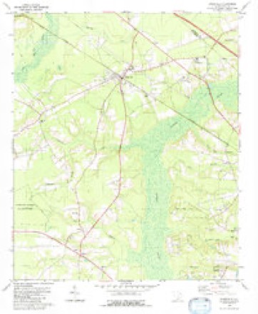
17 topographic sheets cover this place, the earliest surveyed in 1919 and the latest in 1990. It stands in the Ridgeville census division. It lies in ZIP code area 29472. It stands on Ting Branch. The Survey maps it on the Ridgeville quadrangle.
Topographic sheets covering this place
11 surveys from 17 printed sheetsMatched by testing this settlement's coordinate against the published boundary of every sheet in the United States Geological Survey's historical collection. Each opens the scanned sheet at the Survey.
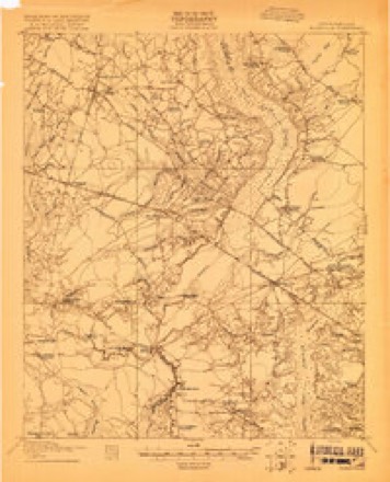
- 1919 USGS Ridgeville quadrangle1:48000
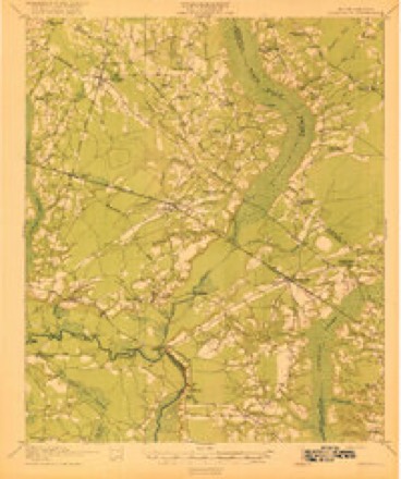
- 1920 USGS Ridgeville quadrangle1:62500, 3 printings
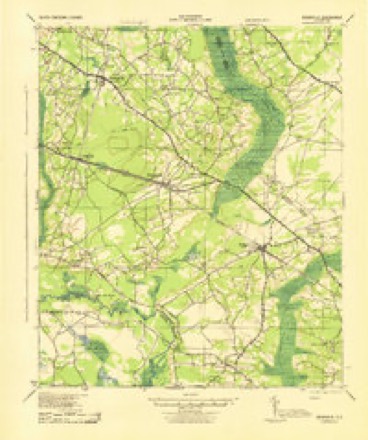
- 1943 USGS Ridgeville quadrangle1:62500
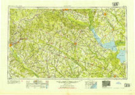
- 1954 USGS Augusta quadrangle1:250000
- 1957 USGS Augusta quadrangle1:250000, 3 printings
- 1958 USGS Augusta quadrangle1:250000
- 1961 USGS Augusta quadrangle1:250000, 2 printings
- 1962 USGS Augusta quadrangle1:250000
- 1979 USGS Ridgeville quadrangle1:24000, 2 printings
- 1985 USGS Saint George quadrangle1:100000
- 1990 USGS Saint George quadrangle1:100000
Fires near this place
347 since 1992Regional context, not property-specific evidence. The federal wildfire occurrence database lists 347 fires within 5 miles of Givhans between 1992 and 2020, burning about 2,602 acres in total. 3 started naturally. 95 were recorded as arson. Distance is straight-line from the map coordinates, so a fire counted here may appear on a neighbouring settlement's page as well.
| Reported cause | Fires |
|---|---|
| Missing data/not specified/undetermined | 131 |
| Debris and open burning | 100 |
| Arson/incendiarism | 95 |
| Misuse of fire by a minor | 11 |
| Equipment and vehicle use | 5 |
| Natural | 3 |
| Smoking | 2 |
The most recent of them, most recent first, with the day each was reported and the service that recorded it.
| Date | Cause | Size | Reported by | Name on the report |
|---|---|---|---|---|
| 8 September 2005 | Smoking | under an acre | South Carolina Forestry Commission | not named |
| 15 September 2001 | Debris and open burning | 4.5 acres | South Carolina Forestry Commission | not named |
| 7 August 2006 | Arson/incendiarism | 15 acres | South Carolina Forestry Commission | not named |
| 7 August 2001 | Arson/incendiarism | 2.0 acres | South Carolina Forestry Commission | not named |
| 4 August 1998 | Misuse of fire by a minor | 1.0 acres | South Carolina Forestry Commission | not named |
| 31 August 1999 | Debris and open burning | 6.0 acres | South Carolina Forestry Commission | not named |
| 3 August 2002 | Natural | 1.0 acres | South Carolina Forestry Commission | not named |
| 29 August 1998 | Debris and open burning | under an acre | South Carolina Forestry Commission | not named |
Settlements close enough to share some of these fires:
Mines and quarries near this place
6 within 5 milesRegional context, not property-specific evidence. The federal mineral resources record lists 6 workings within 5 miles of Givhans: 3 unknowns, 2 past producers, 1 producer. 1 still produces. What was taken out: Sand and Gravel, Construction, Sand, Clay. Distance is straight-line from the map coordinates, so a quarry counted here may appear on a neighbouring settlement's page as well.
| Where | Site | Commodity | Status | Recorded |
|---|---|---|---|---|
| Becker Sand and Gravel Co., Div. Of | Sand and Gravel, Construction | Past Producer | ||
| Edista No. 2 Dredge | Sand and Gravel, Construction | Producer | ||
| Knightsville Mine | Clay | Unknown | Sedimentary | |
| Knightsville Mine | Clay | Past Producer | ||
| Reeves-Edisto | Sand | Unknown | Sedimentary | |
| Reeves-Edisto | Sand | Unknown | Sedimentary |
Storms near this place
47 since 1993Regional context, not property-specific evidence. The National Weather Service names Givhans in 47 storm reports between 1993 and 2025: 30 thunderstorm wind, 13 hail, 2 tornado, 1 flash flood. The reports record 1 injury. Each account below is quoted exactly as the forecast office filed it, from the NOAA Storm Events Database, and each date opens the federal record of that event.
| When | Event | Place named | Harm | What the report says |
|---|---|---|---|---|
| July 2025 | Thunderstorm Wind | Givhans | 1 hurt | Dorchester County Emergency Management reported a tree fell on a vehicle near the 700 block of Highway 61, causing a minor injury. |
| September 2011 | Thunderstorm Wind | Givhans | $4,000 | The Public reported trees down on Old Beach Hill Road, 2 miles south-southwest of Givhans Ferry State Park. |
| May 2012 | Thunderstorm Wind | Givhans | $2,000 | A trained spotter reported several trees blown down near the intersection of Highway 17 and Highway 61. |
| May 2024 | Thunderstorm Wind | Givhans | $1,000 | Dorchester County dispatch reported a tree down across Eagle Drive. |
| June 2020 | Thunderstorm Wind | Givhans | $1,000 | The South Carolina Highway Patrol reported a tree down near the intersection of South Carolina 27 and Bridlewood Farms Parkway due to thunderstorm outflow. |
| July 2012 | Thunderstorm Wind | Givhans | $1,000 | SC Highway Patrol reported a tree in the roadway on Highway 61 near Highway 27. |
| August 2010 | Thunderstorm Wind | Givhans | $1,000 | Law enforcement reported a tree down on Jelico Court. |
| September 2011 | Thunderstorm Wind | Givhans | $500 | Law Enforcement reported 1 tree down on Clubhouse Road, near Highway 17A, 5 miles West-Southwest of Slands Bridge. |
| September 2008 | Thunderstorm Wind | Givhans | $500 | Law Enforcement reported a tree down on Hill Branch Road, 2 miles west of Canaan, South Carolina. |
| July 2007 | Thunderstorm Wind | Givhans | $100 | Two and a half to three inch diameter tree branches were reported down. |
| March 2021 | Hail | Givhans | - | A trained spotter reported penny sized hail near Givhans. |
| April 2020 | Tornado (EF1) | Givhans | - | A National Weather Service Survey Team confirmed an EF-1 tornado with an estimated maximum wind speed of 102 mph near Givhans, South Carolina. The tornado began near Route 61, south of Givhans Ferry State Park, and moved northeast, dissipating just northeast of the intersection between Carter Road and Queen Drive. Along the path, the tornado caused sporadic snapped trees and uprooted many trees. A two ton wood crate container was also lifted and overturned at a residence near Carter Road along the end of the tornado path. There was significant straight-line wind damage to trees just south of this path, along and north of Campbell Road. |
| April 2020 | Thunderstorm Wind | Givhans | - | A National Weather Service Storm Survey Team determined that straight line winds of around 105 mph snapped and uprooted many trees along and north of Campbell Road. This damage occurred just south of a tornado that touched down near route 61. |
| April 2020 | Thunderstorm Wind | Givhans | - | A Dorchester County emergency manager reported a tree down on a house and vehicle in the 2200 block of Old Beach Road with a resident trapped inside the home. Another tree was also down on another residence in the 2200 block of Old Beech Road and other trees were down and blocking the roadway on Old Beech Road near Shad Lane and Campbell Road. |
| April 2020 | Thunderstorm Wind | Givhans | - | A Dorchester County emergency manager reported a tree down with power lines and blocking Givhans Road between Carters Road and Highway 61. |
| April 2020 | Thunderstorm Wind | Givhans | - | Information via social media indicated a tree down on a house and a gas station sign damaged. |
| April 2020 | Thunderstorm Wind | Givhans | - | A Dorchester County emergency manager reported trees down and partially blocking the roadway on Givhans Road near Way Hall Road. |
| April 2019 | Thunderstorm Wind | Givhans | - | Law enforcement reported a tree down on Summerset Lane. |
| June 2019 | Hail | Givhans | - | The public reported quarter size hail near Givhans Ferry State Park. |
| June 2019 | Hail | Givhans | - | A trained spotter reported quarter size hail along Old Beech Hill Road. |
| June 2019 | Thunderstorm Wind | Givhans | - | Law enforcement reported a tree down on Boat Landing Road. |
| June 2018 | Thunderstorm Wind | Givhans | - | The South Carolina Highway Patrol reported a tree down at the intersection of Alternate Highway 17 and Clubhouse Road. |
| June 2018 | Thunderstorm Wind | Givhans | - | The Dorchester County 911 Call Center reported trees down near the intersection of Highway 61 and Highway 27. |
| June 2018 | Thunderstorm Wind | Givhans | - | Law enforcement reported a tree down near the intersection of Highway 27 and Bridlewood Farms Parkway. |
| August 2018 | Heavy Rain | Givhans | - | A Dorchester County Emergency Manager reported a partial road washout in the 300 block of Temple Road in Ridgeville. |
| August 2018 | Thunderstorm Wind | Givhans | - | The South Carolina Highway Patrol reported a tree down on Highway 17 Alternate near Clubhouse Road. |
| April 2017 | Thunderstorm Wind | Givhans | - | The South Carolina Highway Patrol reported a tree down on Highway 17 between Sandpit Drive and Clubhouse Road. |
| September 2017 | Thunderstorm Wind | Givhans | - | South Carolina Highway Patrol reported a tree down on Highway 61 near the intersection with Old Beech Hill Road. |
| October 2017 | Thunderstorm Wind | Givhans | - | The Dorchester County 911 Call Center reported a tree down near the intersection of Walterboro Road and Clubhouse Road. A motor vehicle ran into the tree after it fell, causing 4 indirect injuries. |
| October 2017 | Thunderstorm Wind | Givhans | - | An emergency manager reported a tree down on Cummings Chapel Road. |
| July 2016 | Thunderstorm Wind | Givhans | - | South Carolina Highway Patrol reported a tree down at the intersection of Highway 17 and Clubhouse Road. |
| October 2016 | Flash Flood | Givhans | - | An emergency manager reported Zion Road at Old Dam Road washed out and impassible. Zion Road at Wire Road was also partially washed out and impassible. Heavy rains were associated with Hurricane Matthew. |
| July 2015 | Thunderstorm Wind | Givhans | - | South Carolina Highway Patrol reported a tree down and in the roadway on Ridge Road near Givhans Ferry Road. |
| August 2015 | Thunderstorm Wind | Givhans | - | The South Carolina Highway Patrol reported 2 trees down near Givhans Ferry State Park. One tree was down near the intersection of Shad Lane and Old Beech Hill Road and the other tree was down near the intersection of Givhans Ferry State Park Road and South Carolina Highway 61. |
| May 2012 | Hail | Givhans | - | A trained spotter reported half dollar size hail near the intersection of Highway 17 and Highway 61. |
| August 2012 | Hail | Givhans | - | The Givhans Fire Department reported hail to the size of baseballs and wind gusts to 50 miles per hour. |
| May 2010 | Hail | Givhans | - | The public reported quarter size hail 5 miles west-southwest of Slands Bridge, South Carolina. |
| May 2009 | Hail | Givhans | - | The public reported nickel size hail at Givhans Ferry State Park in South Carolina. |
| May 2009 | Hail | Givhans | - | The public reported penny size hail 2 miles northwest of Givhans, South Carolina. |
| May 2008 | Hail | Givhans | - | Golf ball size hail was reported in Givhans, South Carolina. |
| May 2008 | Hail | Givhans | - | An amateur radio operator reported quarter size hail and 3 to 4 inch diameter trees being snapped at the base of the trunk in Givhans, South Carolina. |
| July 2008 | Thunderstorm Wind | Givhans | - | A trained weather spotter reported strong thunderstorm winds downing several 2 to 3 inch diameter tree limbs. |
| June 2008 | Hail | Givhans | - | The public reported quarter size hail in Givhans, South Carolina. |
| April 2006 | Tornado (F0) | Givhans | - | Tornado touched down 5 miles SSE of Givhans at 712 PM EDT and traveled about 500 yards along Walterboro Road before lifting. The tornado uprooted or snapped off numerous large trees with one falling on a tractor trailer. Large limbs were also broken off. The maximum width of the tornado was 80 yards with winds estimated between 60 and 70 mph. |
| July 2001 | Thunderstorm Wind | Givhans | - | Numerous trees down. |
| July 2006 | Hail | Givhans | - | no account filed |
| May 1993 | Hail | Givhans | - | no account filed |
Nearest settlements
The eight closest, with where each one stands in the county. Distances are straight-line, computed from the Geographic Names Information System coordinates.
| Map | Place | Distance | Sheets |
|---|---|---|---|
| Scotch Range Estates | 2.8 miles | 17 | |
| Twin Lakes | 3.4 miles | 17 | |
| Summerset Acres | 3.5 miles | 17 | |
| Coachmans Corners | 3.6 miles | 16 | |
| Canaan | 3.9 miles | 16 | |
| Norman Landing | 4.2 miles | 17 | |
| Sweetbriar | 4.9 miles | 19 | |
| Cotton Hill | 5.1 miles | 19 |
Elsewhere
Matched on this settlement's Geographic Names Information System number rather than its name, so it cannot be a different place of the same name in another state.
| Wikidata item Q122593875 | The structured record the population and elevation above come from. Public domain (CC0). |
Provenance
This settlement is recorded in the Geographic Names Information System as feature 1245748. The sheet list is computed by point-in-boundary test against the United States Geological Survey's historical topographic inventory. Both are works of the United States government and carry no copyright under 17 U.S.C. 105.
Wildfire. Short, Karen C. 2022. Spatial wildfire occurrence data for the United States, 1992-2020 [FPA_FOD_20221014]. 6th Edition. Fort Collins, CO: Forest Service Research Data Archive. https://doi.org/10.2737/RDS-2013-0009.6 Collected with United States Government funding and usable without additional permissions or fees.
Mines and quarries. USGS Mineral Resources Data System (MRDS) https://mrdata.usgs.gov/mrds/ A work of the United States government, no copyright under 17 U.S.C. 105.
Storms. NOAA National Centers for Environmental Information, Storm Events Database https://www.ncei.noaa.gov/stormevents/ A work of the United States government, no copyright under 17 U.S.C. 105. Narratives are quoted verbatim from the National Weather Service report and are not edited or summarised.