 Block
From the record
10 National Register listings published here, 1 of them a National Historic Landmark.
Sources: the National Register database, National Park Service
78 topographic sheets and 8 fire insurance atlases across 2 places.
10 National Register listings published here, 1 of them a National Historic Landmark.
Sources: the National Register database, National Park Service
Taken for the Office of War Information and the Farm Security Administration, who photographed the country between 1935 and 1944. Works of United States government photographers, with no known restriction on use. Each opens its catalogue record.
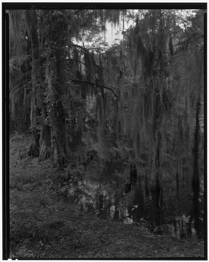
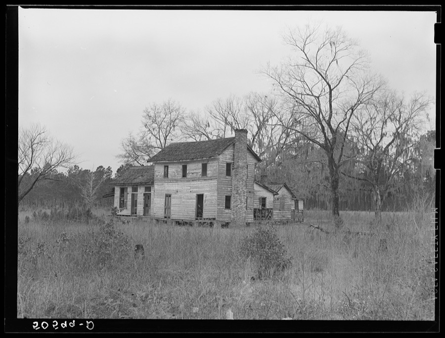
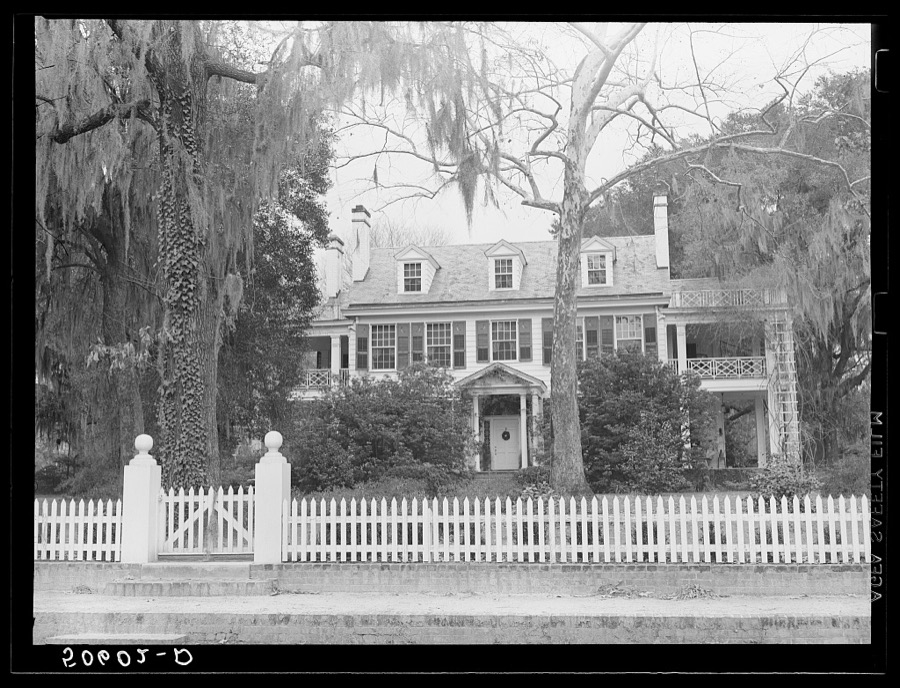
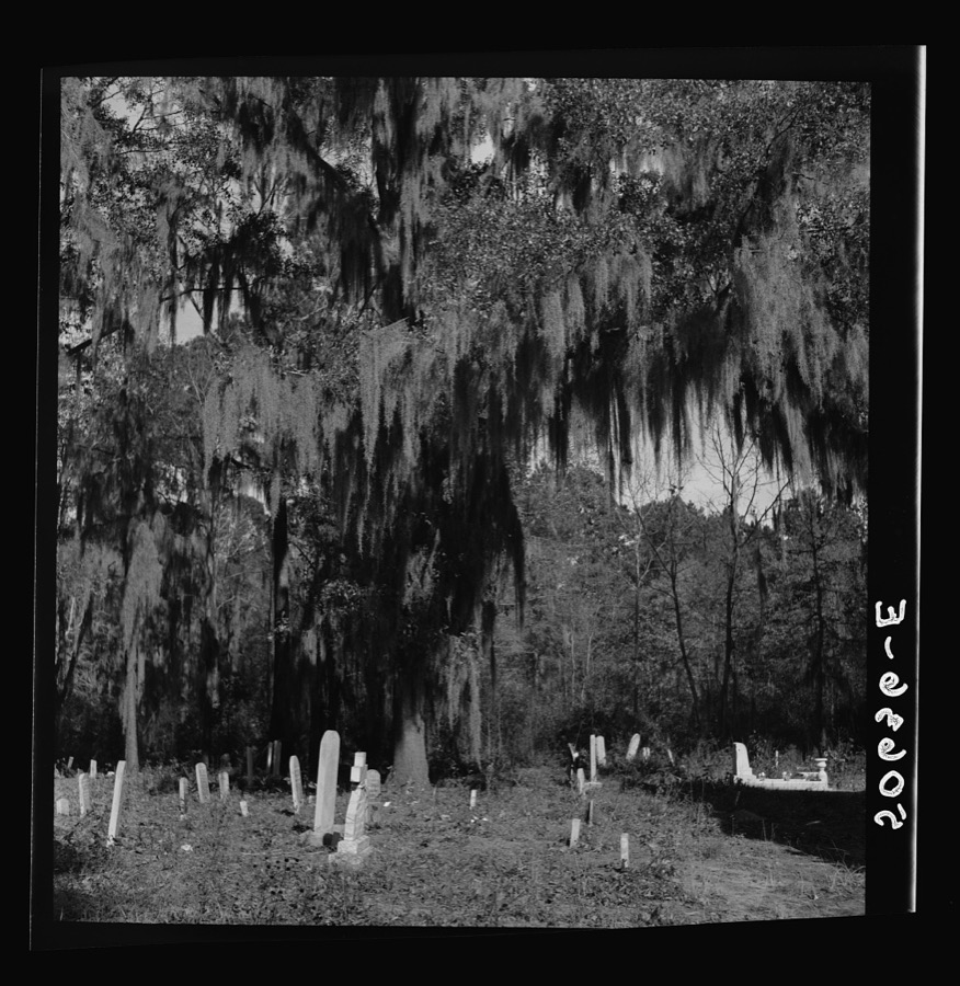
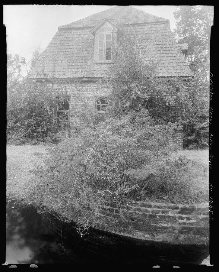
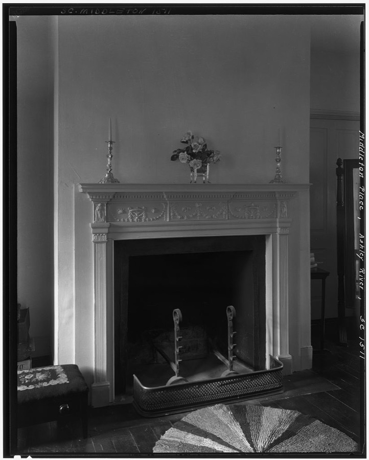
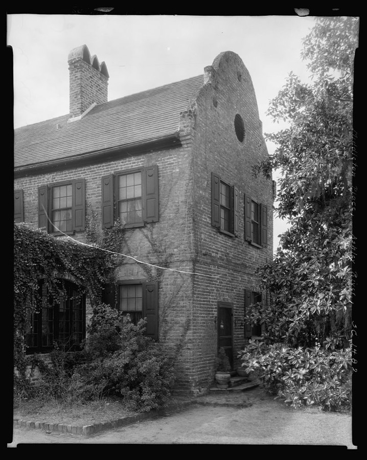
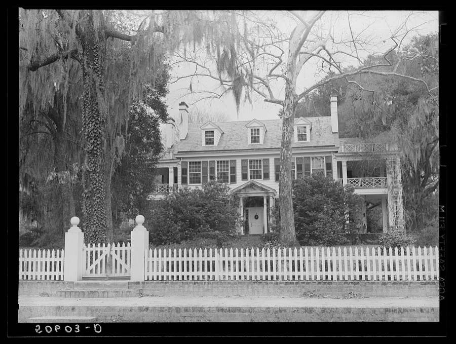
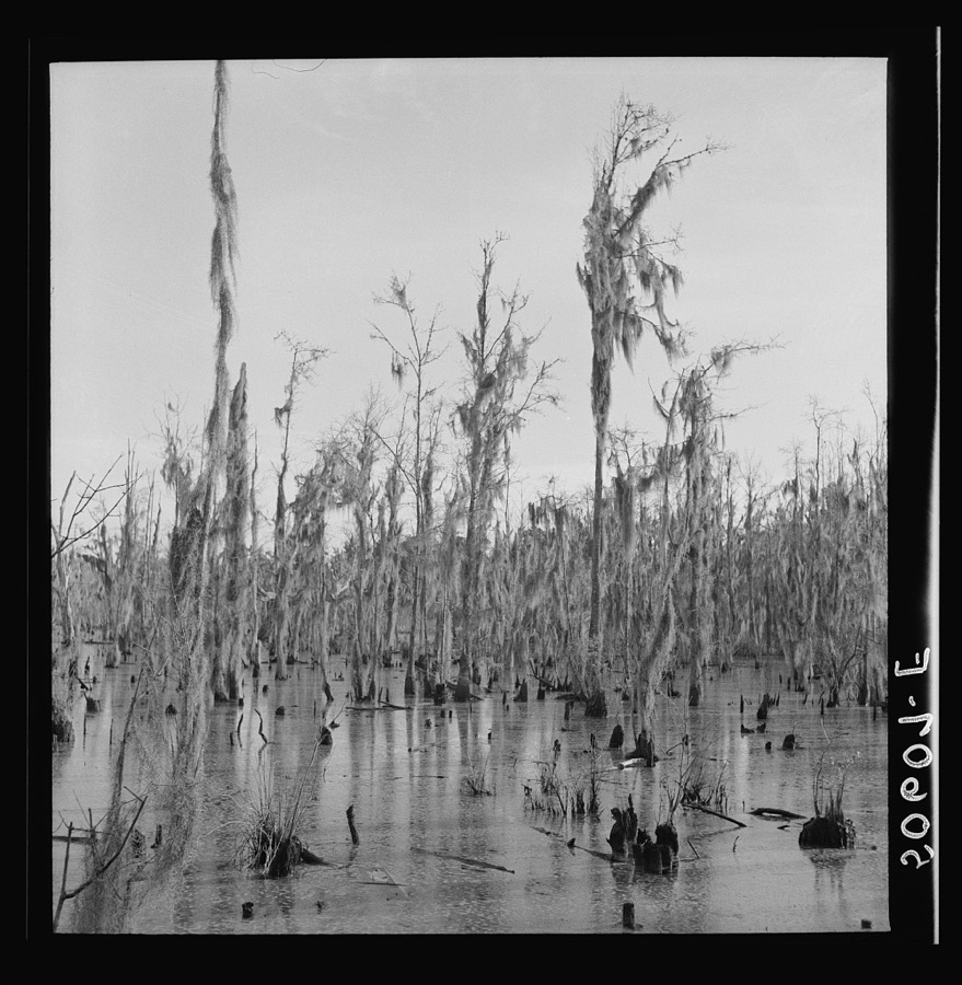
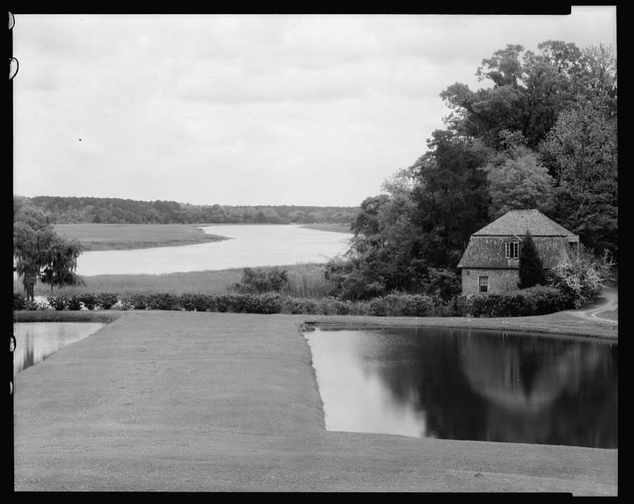
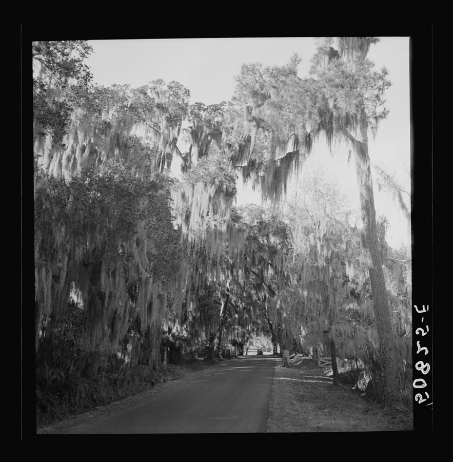
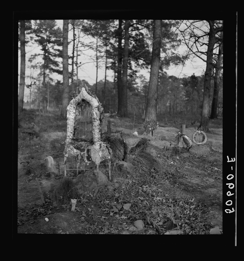
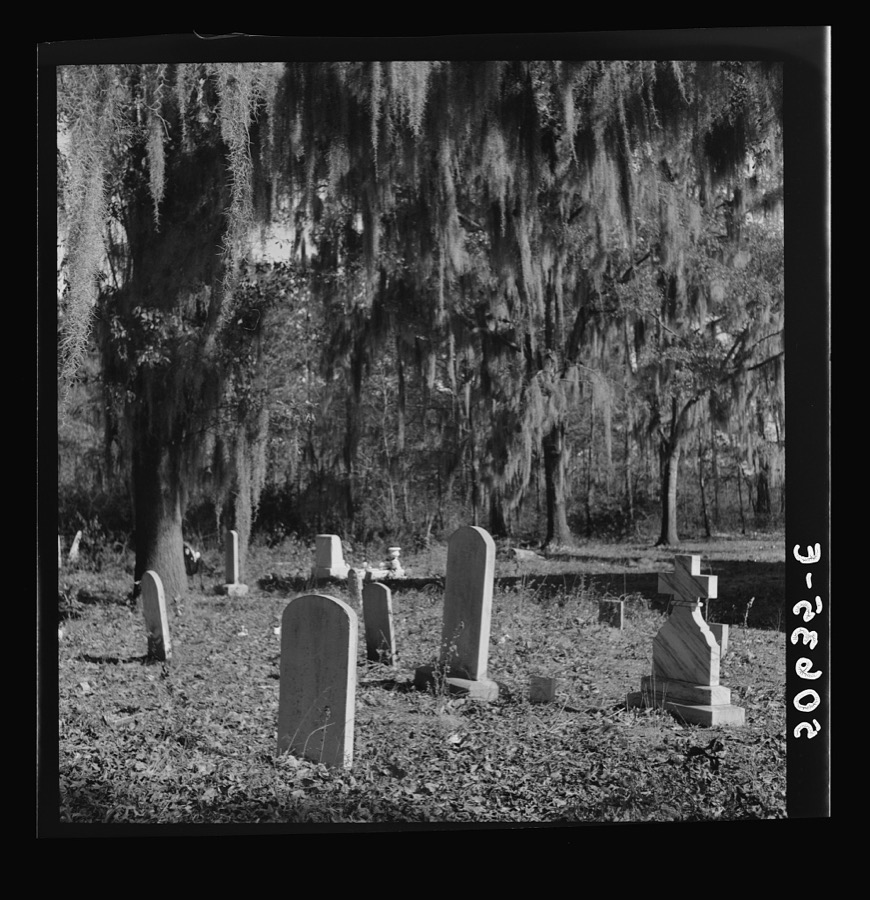
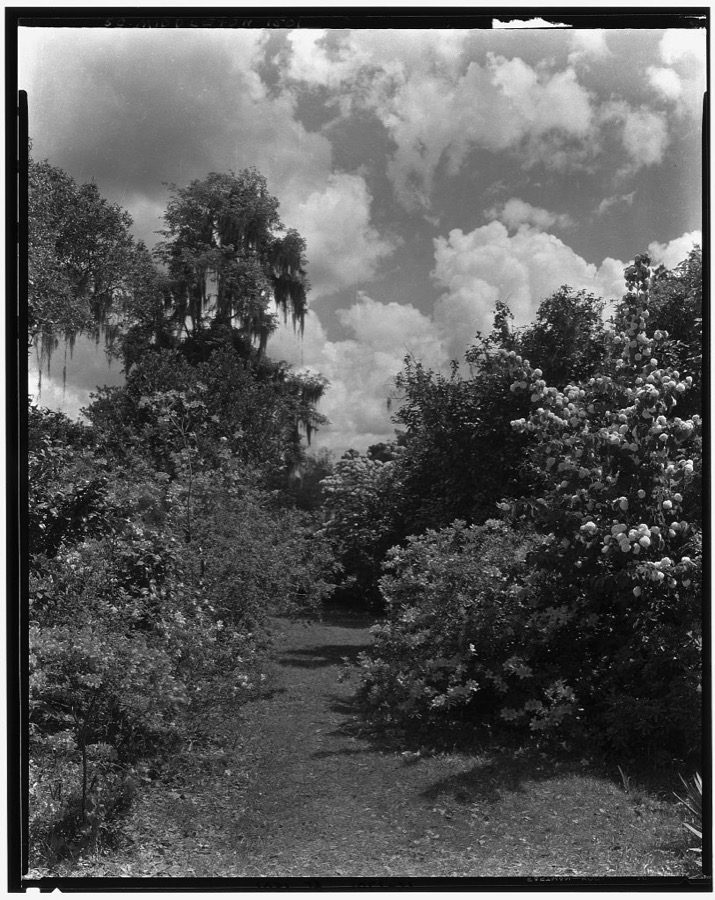
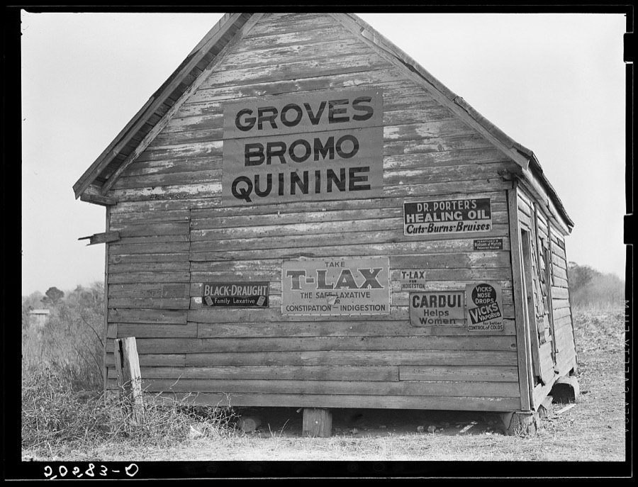
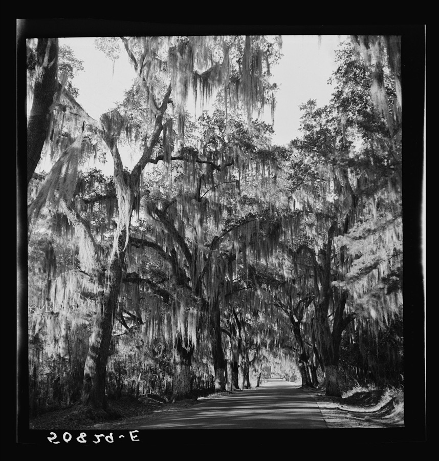
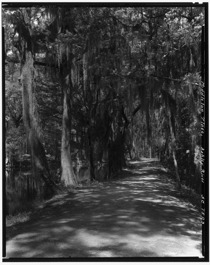
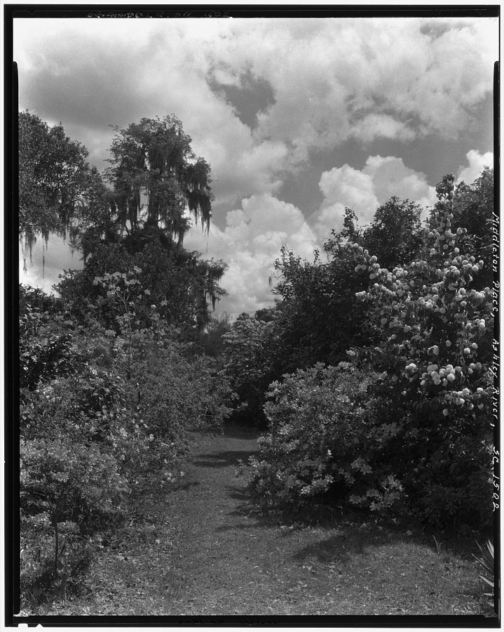
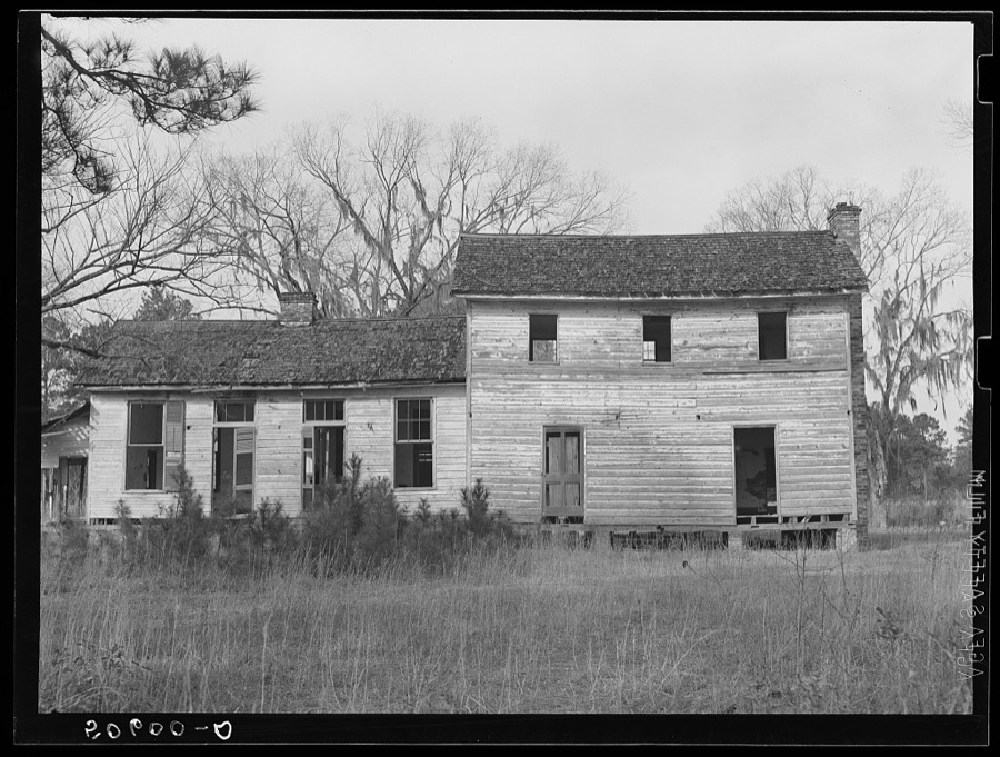
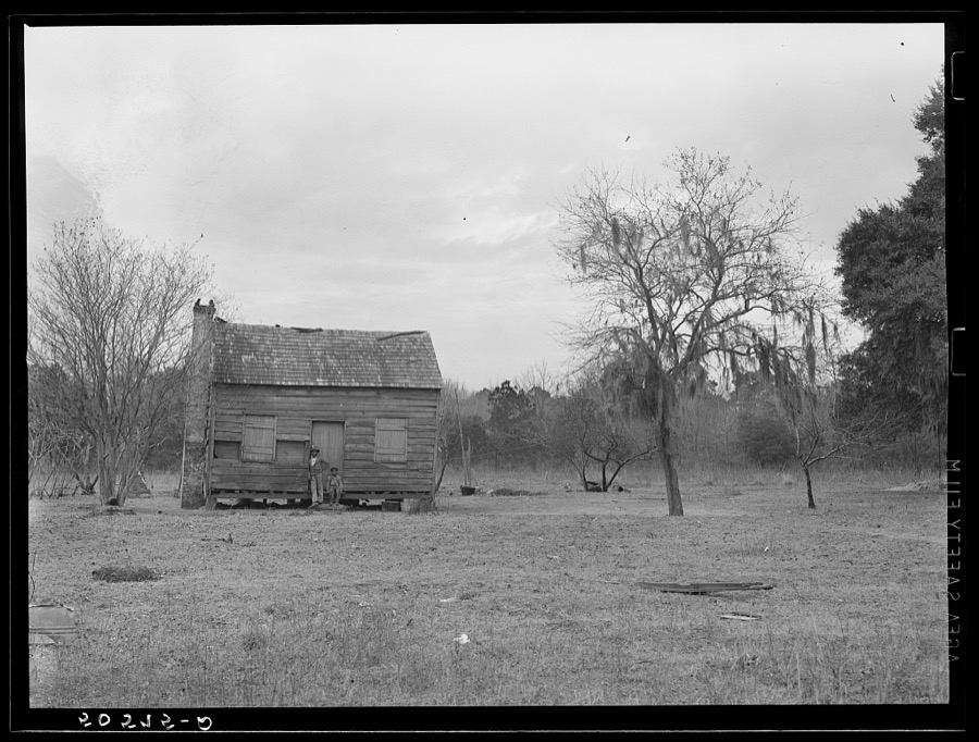
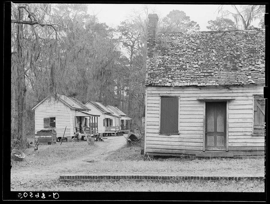
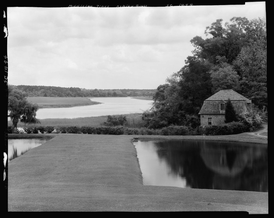
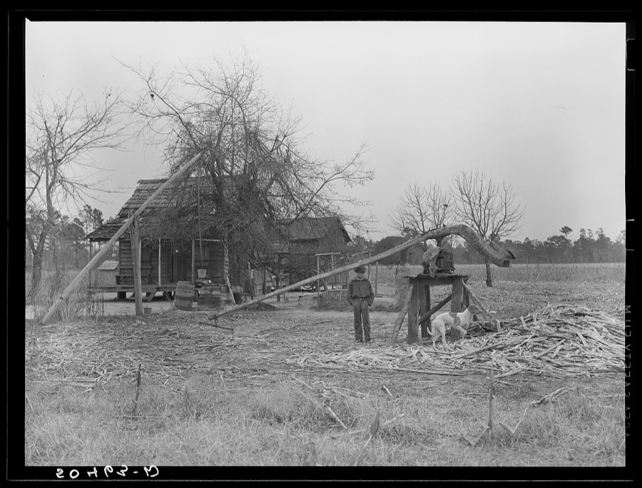
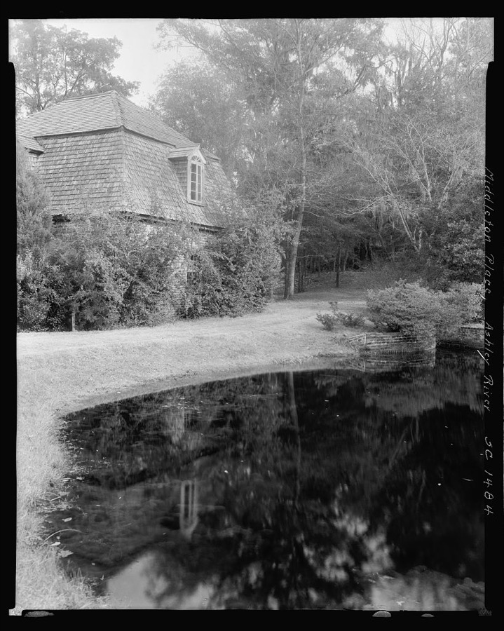
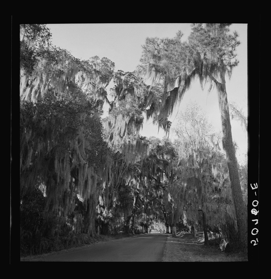
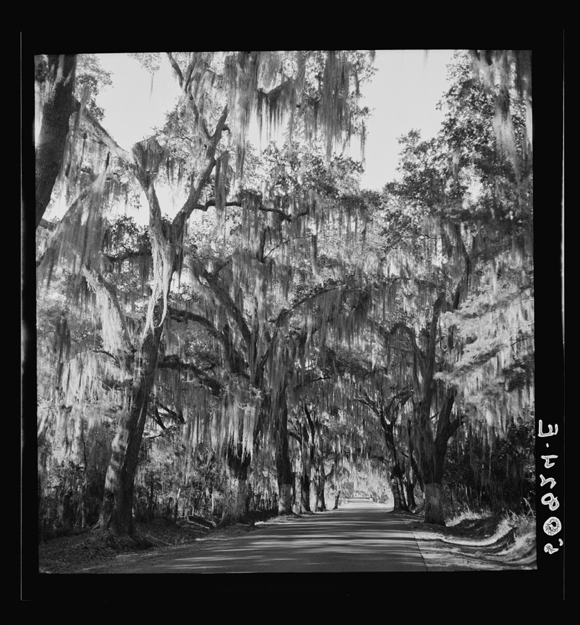
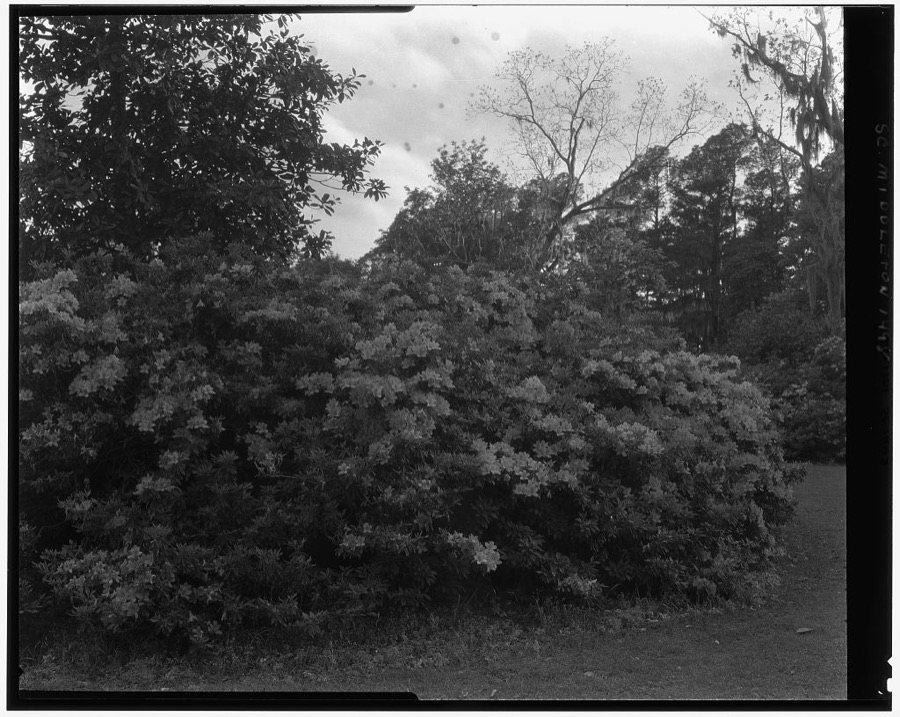
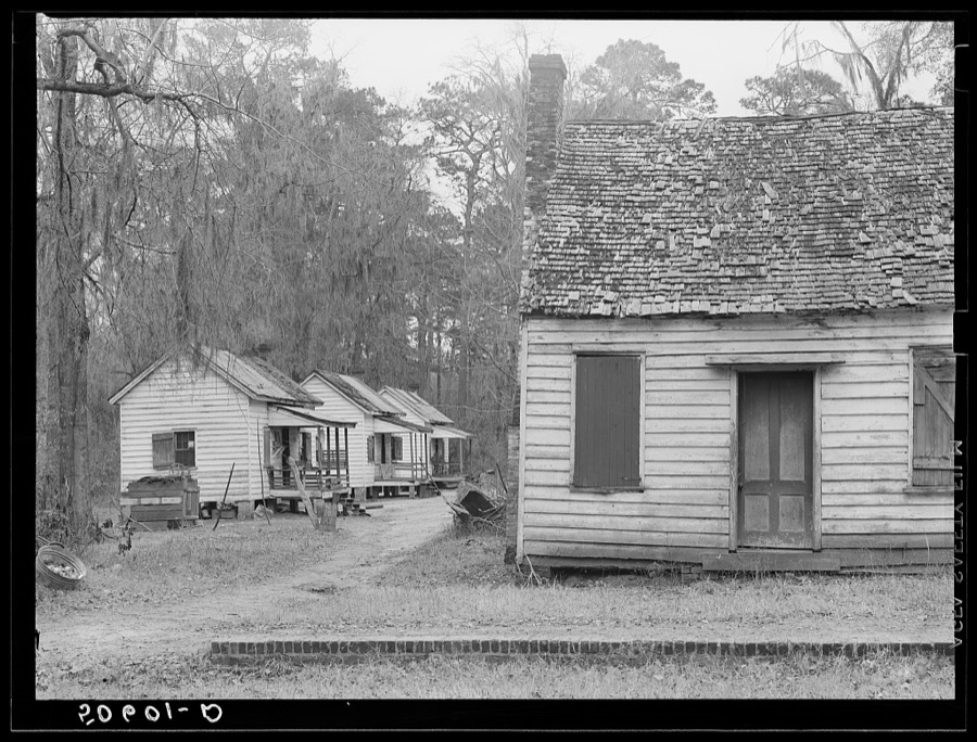
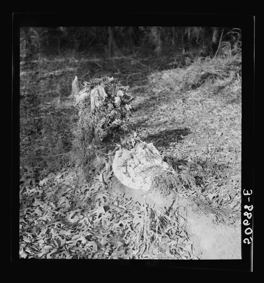
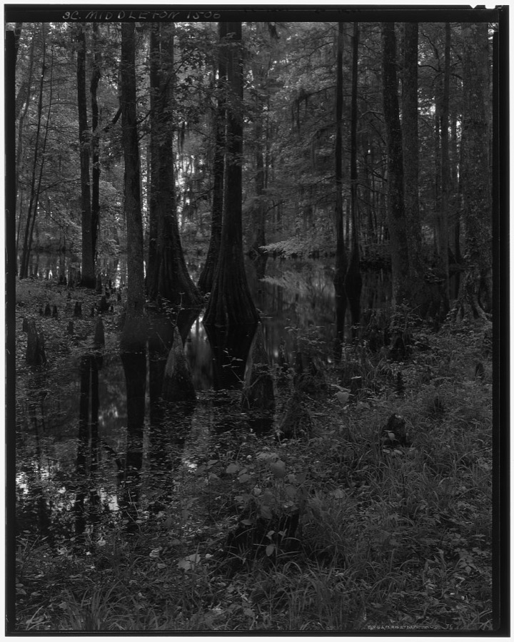
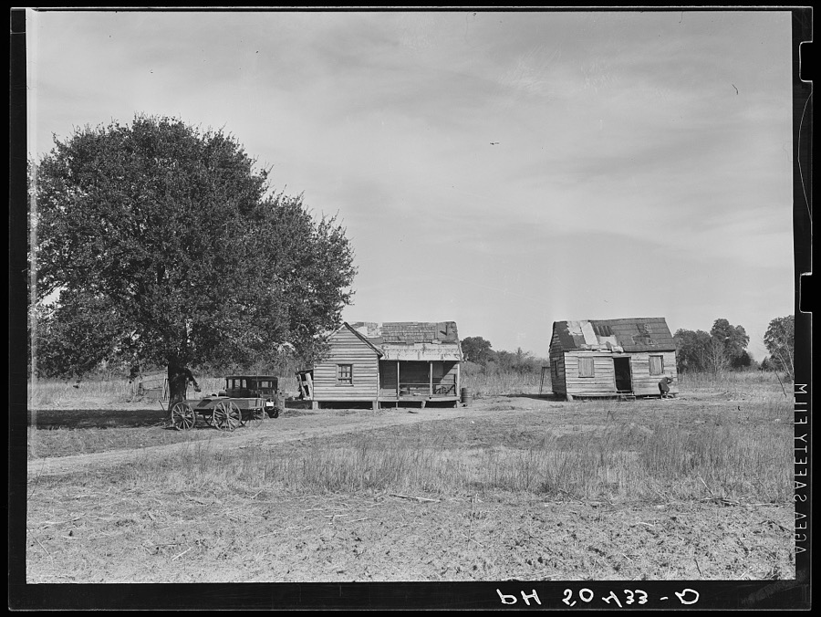
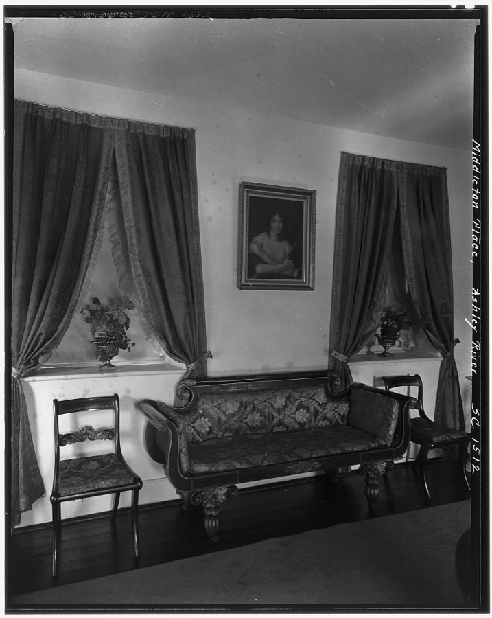
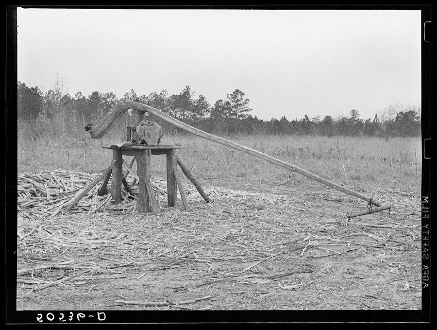
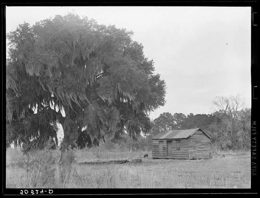
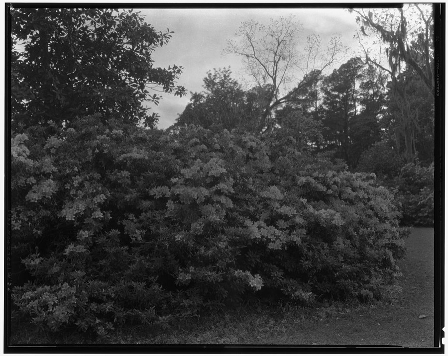
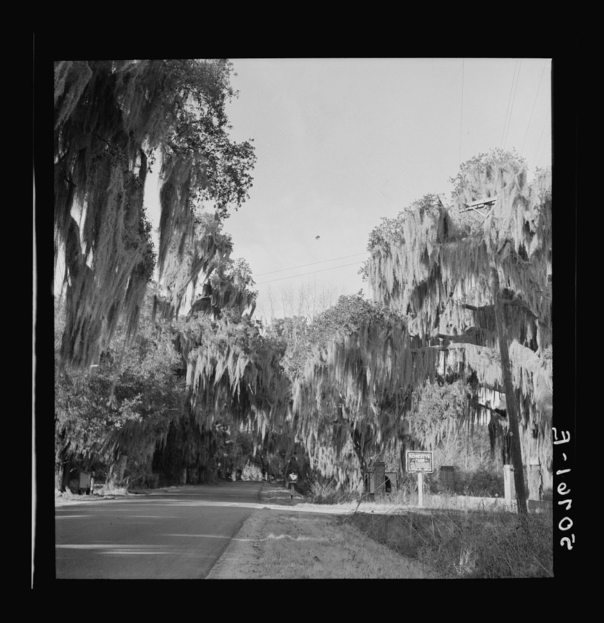
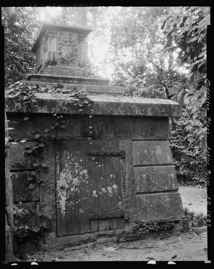
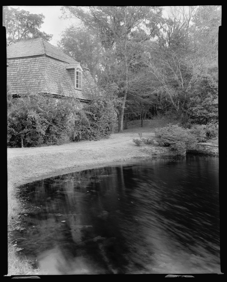
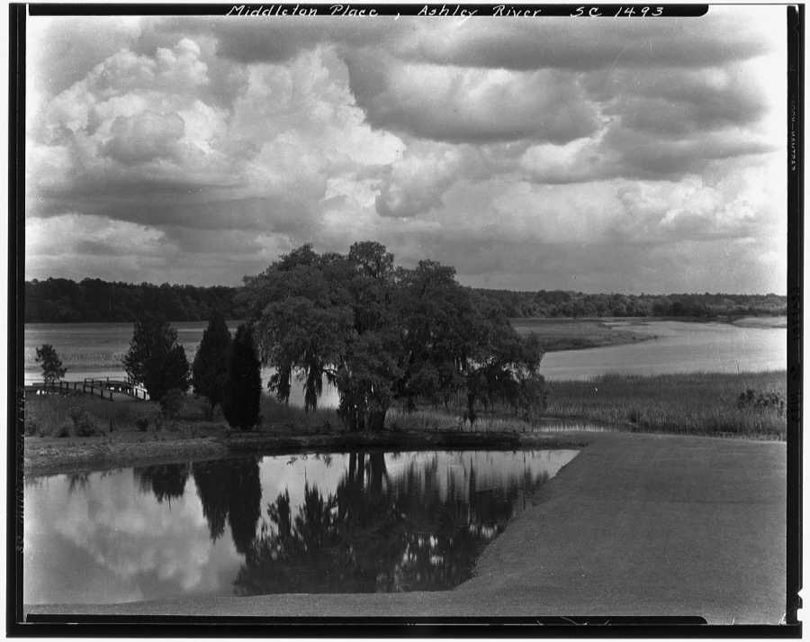
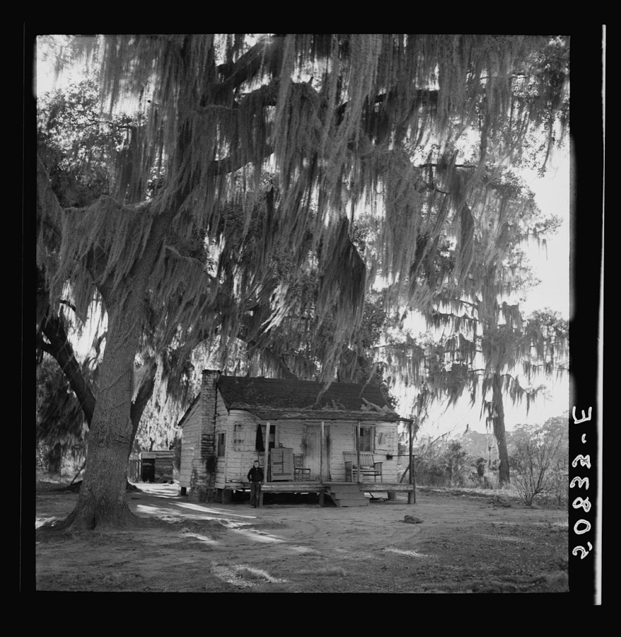
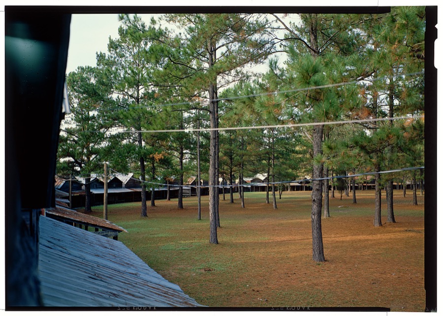
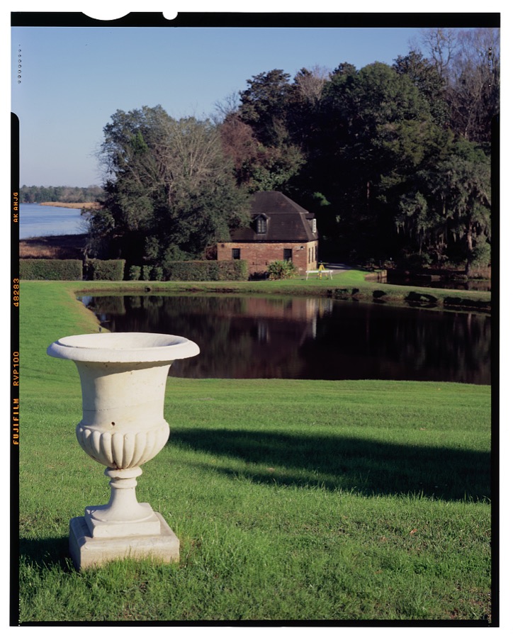
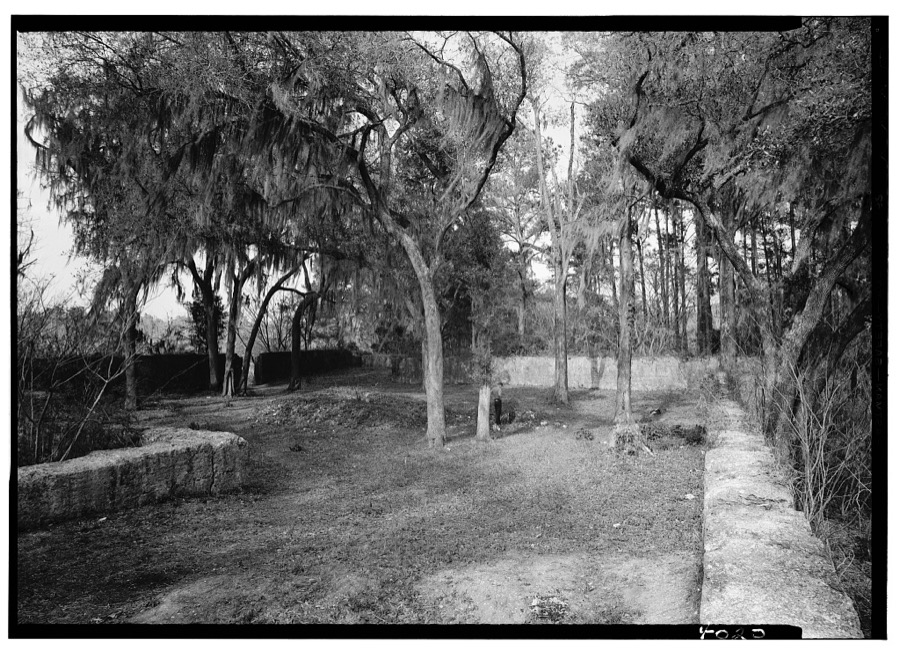
Every property in this county listed on the National Register of Historic Places, with the year it was listed and the federal nomination document.
| Photograph | Property | Type | Listed | Reference |
|---|---|---|---|---|
 | Appleby's Methodist Church | building | 1978 | 78002505 |
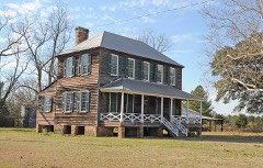 | Carroll Place | building | 1974 | 74001849 |
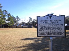 | Cypress Methodist Camp Ground | building | 1978 | 78002504 |
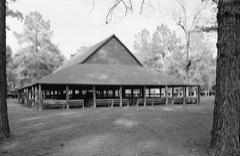 | Indian Fields Methodist Campground | district | 1973 | 73001707 |
 | Middleton Place | district | 1971 | 71000770 |
| Old Dorchester | site | 1969 | 69000165 | |
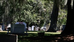 | Old White Meeting House Ruins and Cemetery | site | 2005 | 97000445 |
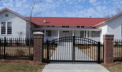 | St. George Rosenwald School | building | 2018 | 100003000 |
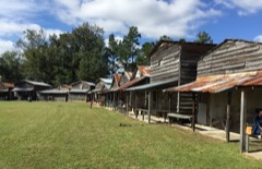 | St. Paul Camp Ground | district | 1998 | 98000424 |
| Summerville Historic District | district | 1976 | 76001701 |
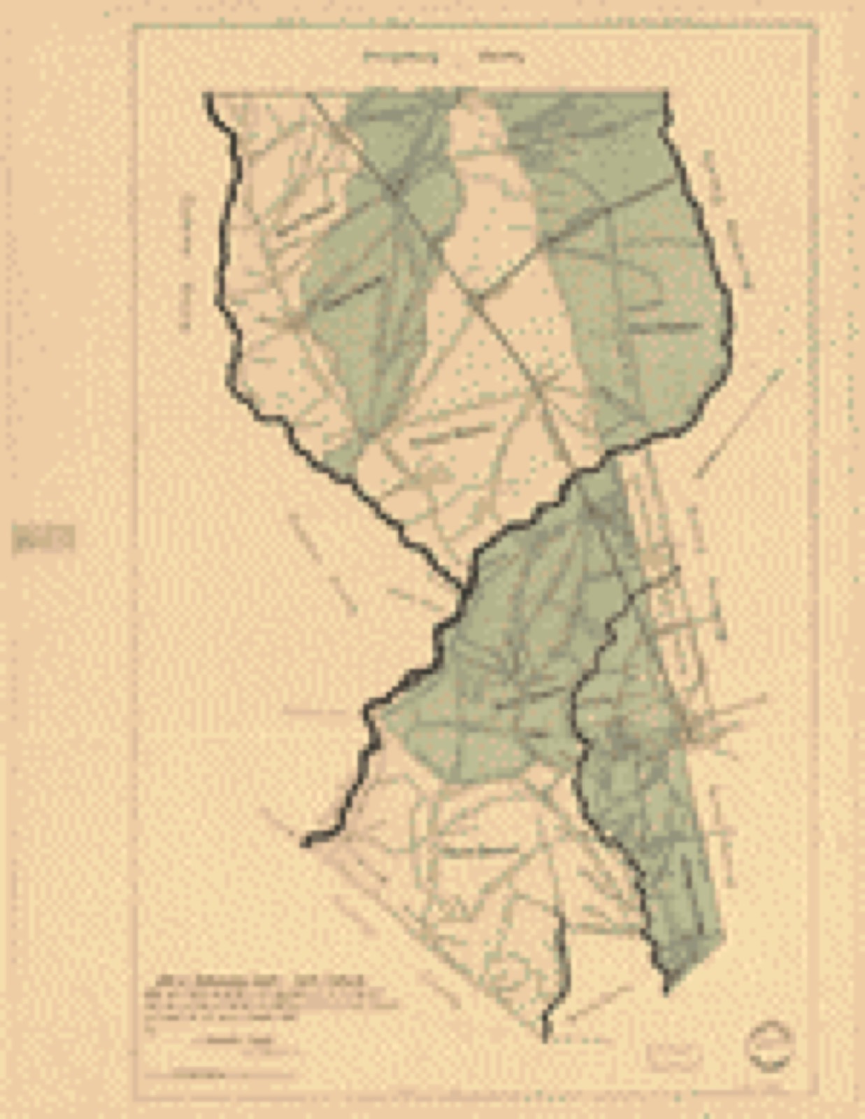
Drawn when these were printed as single large sheets: the town seen from the air, and the county divided into its farms with every owner named. Each opens the original at the Library of Congress.
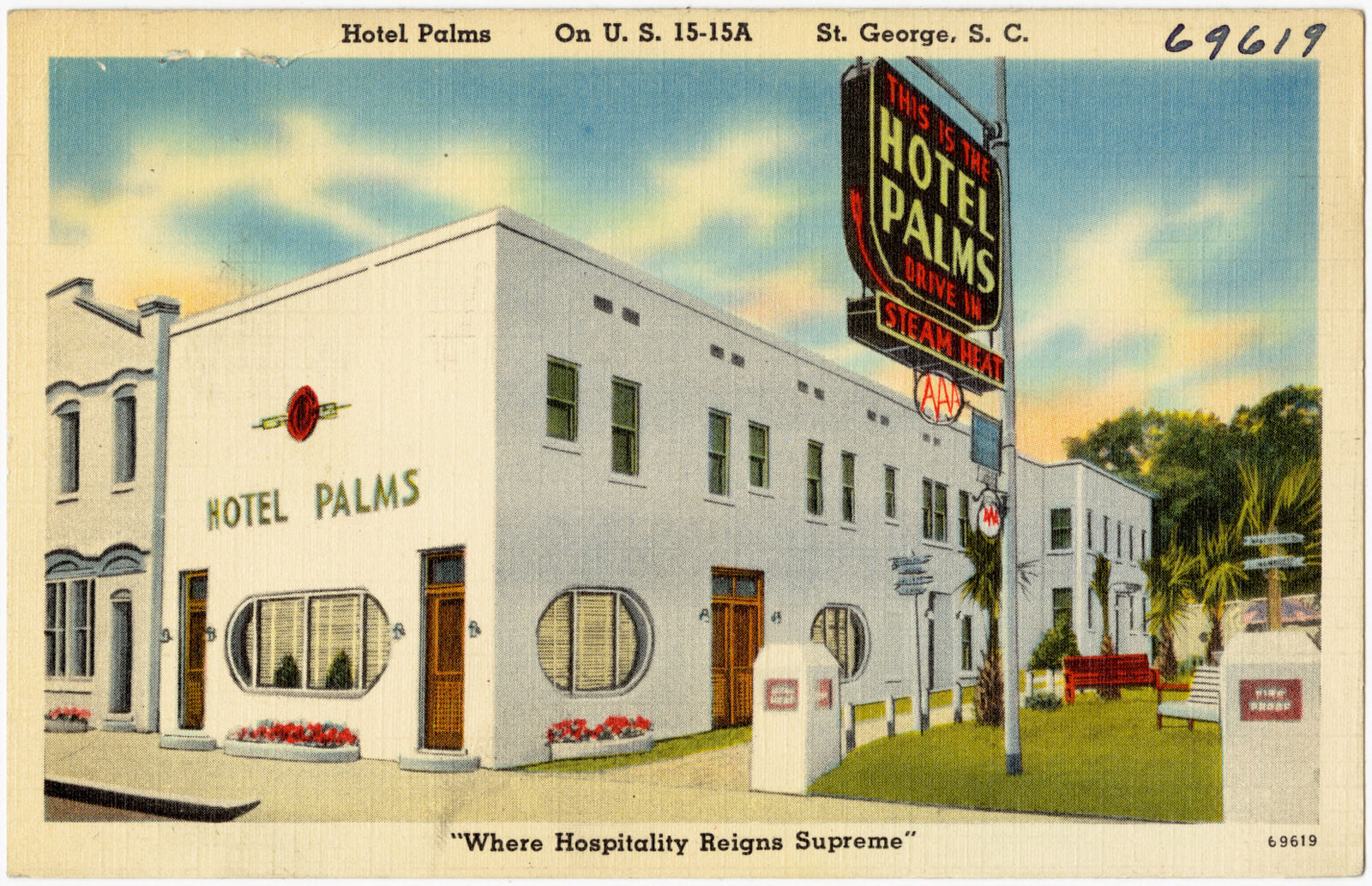
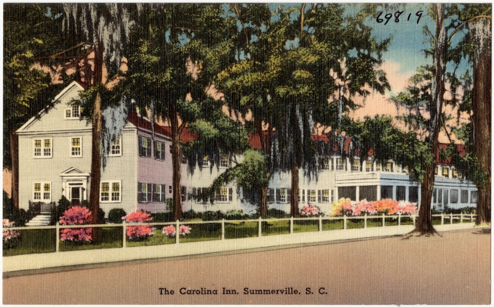
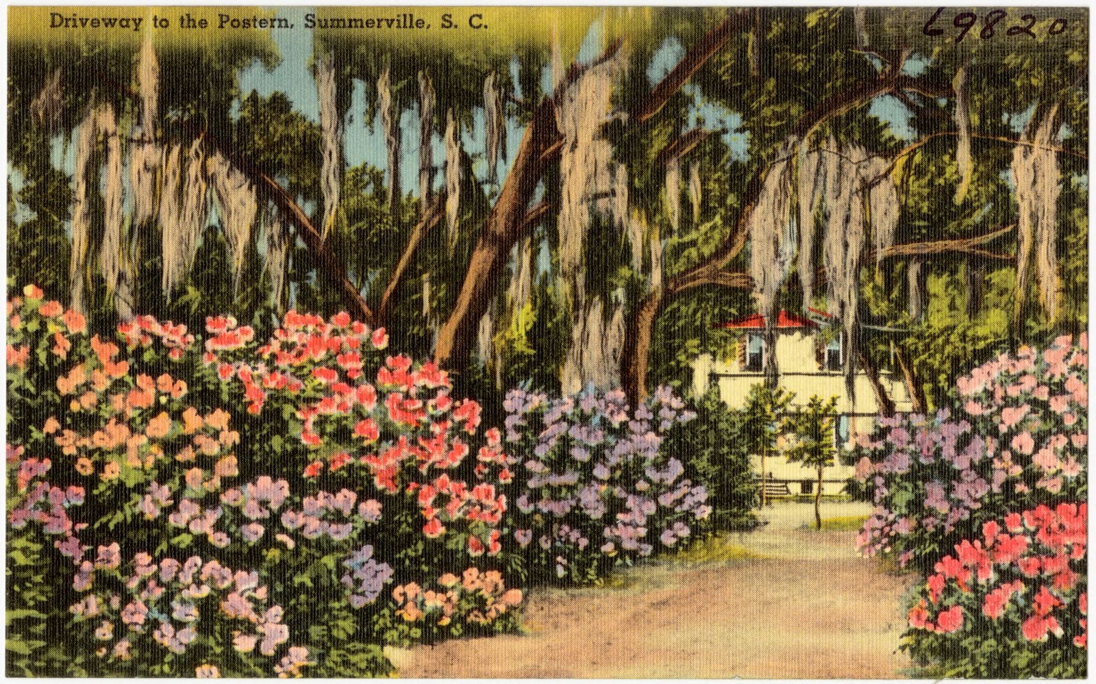
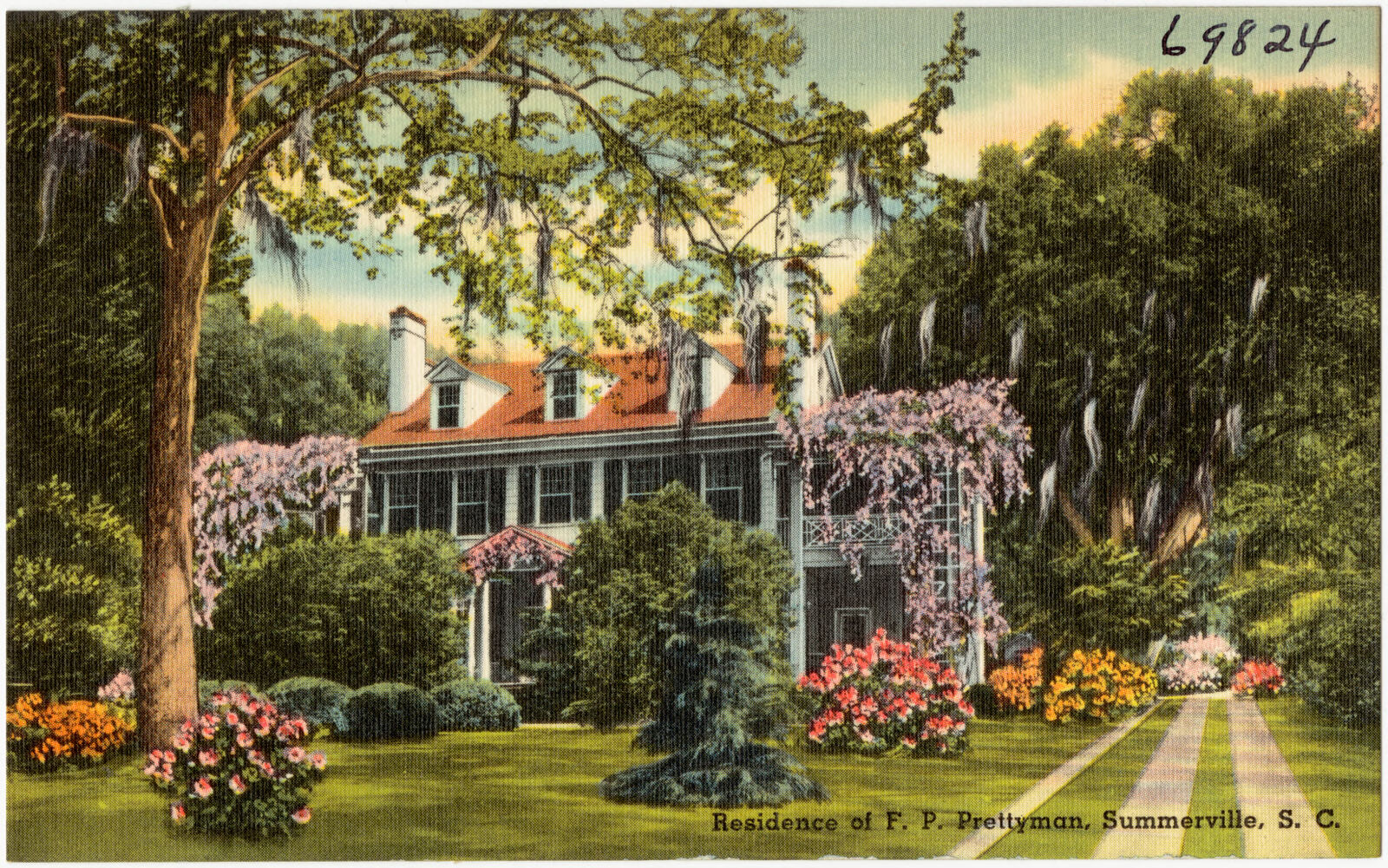
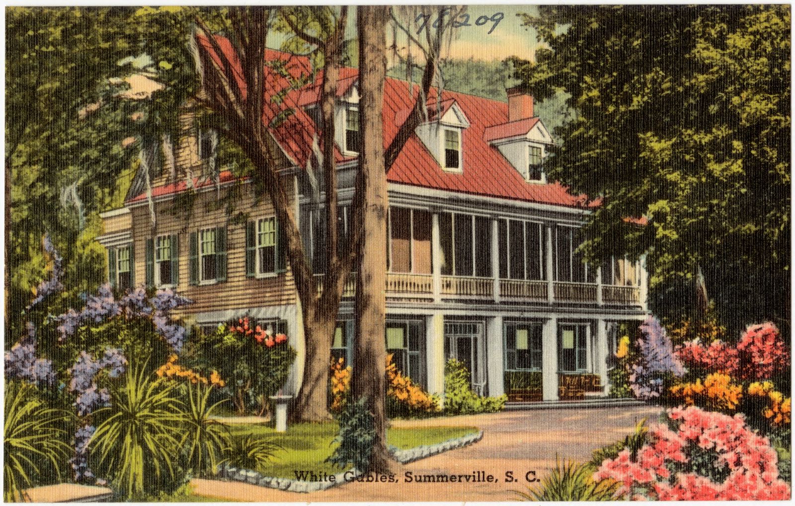
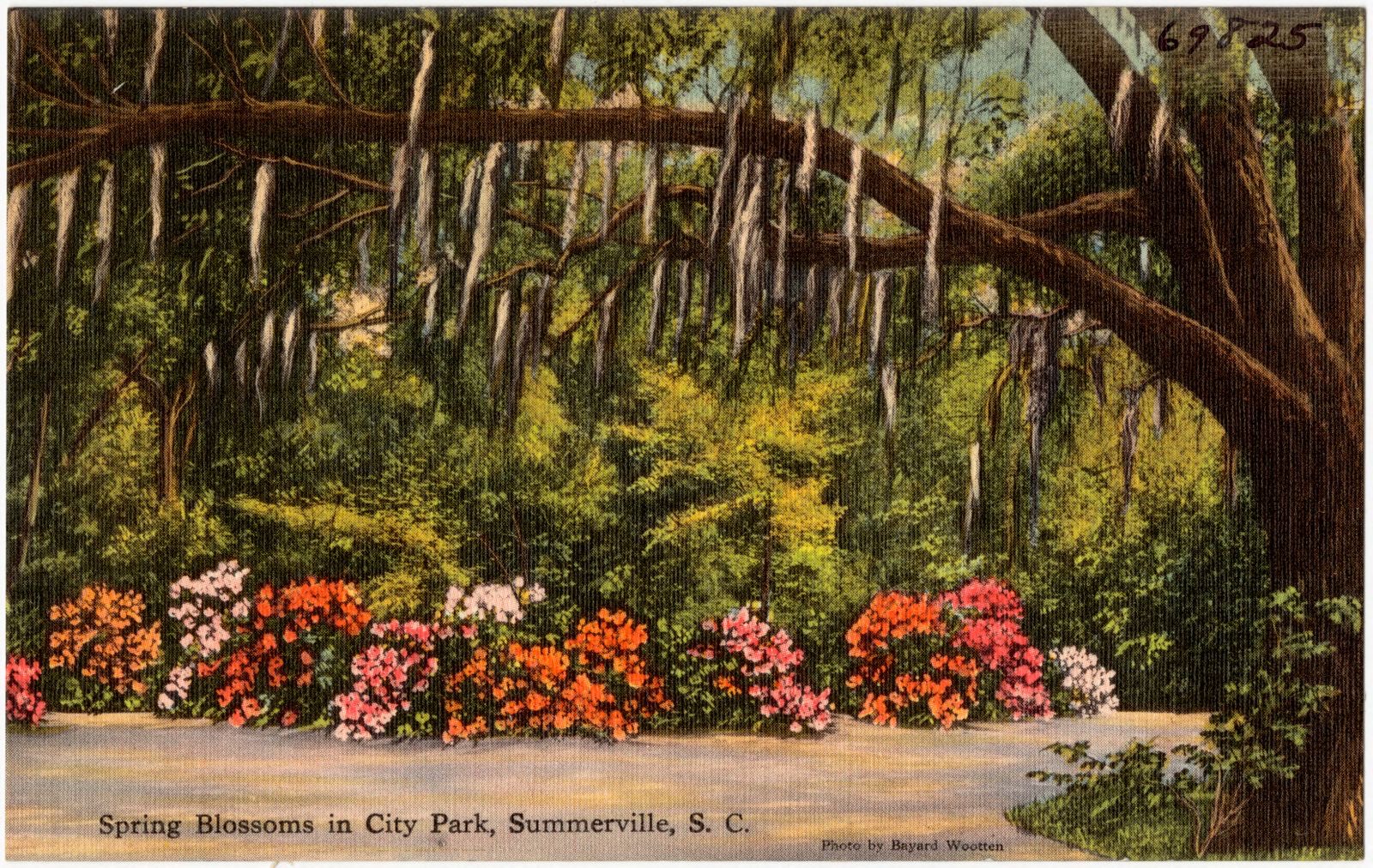
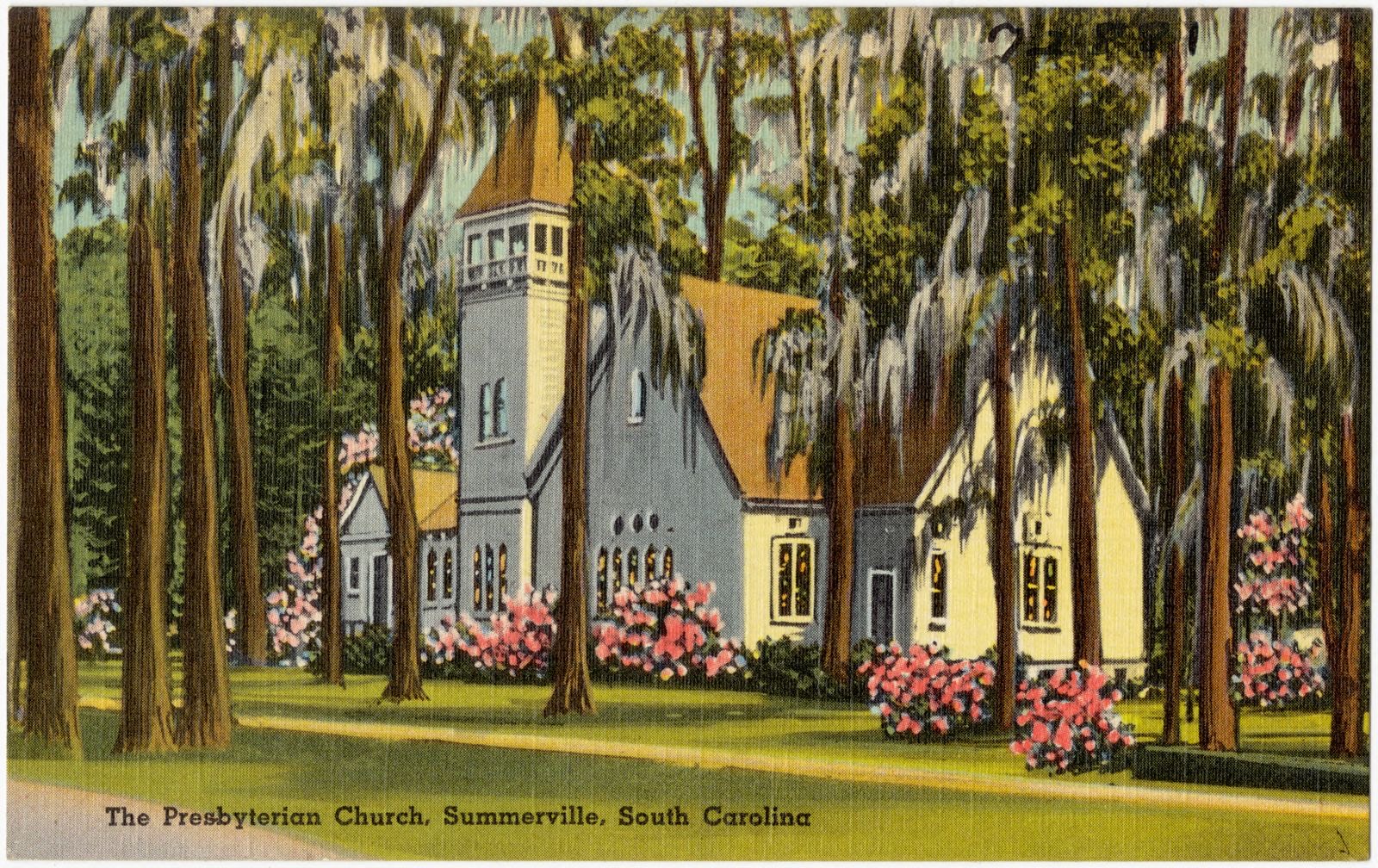
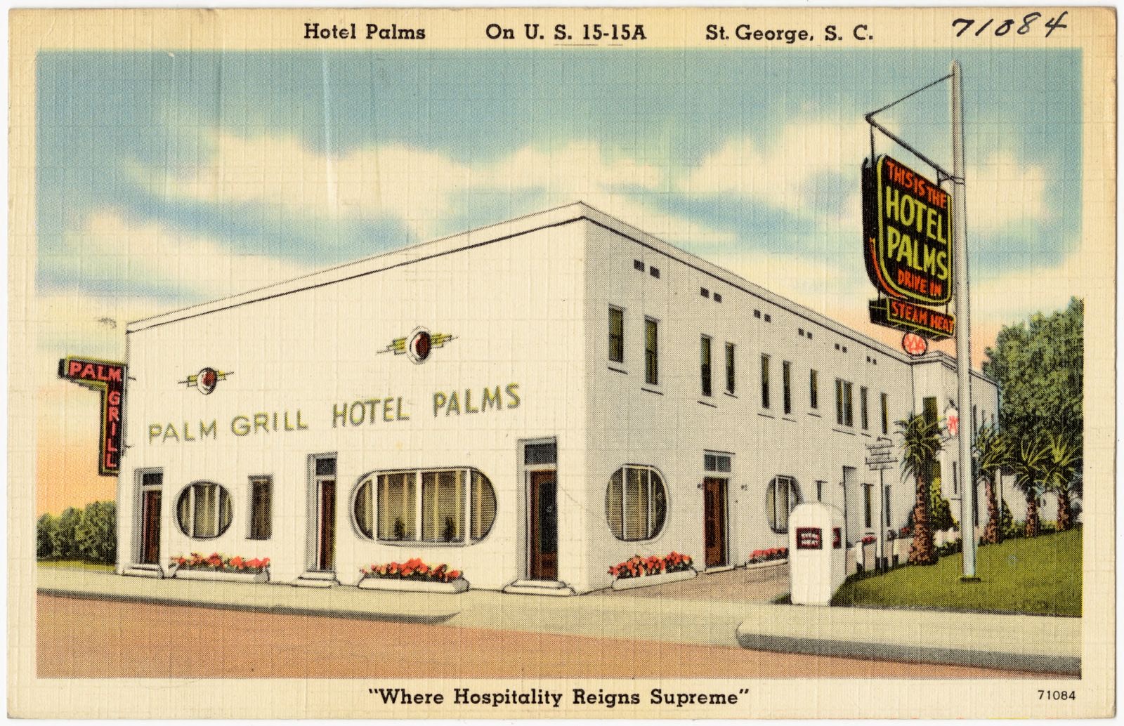
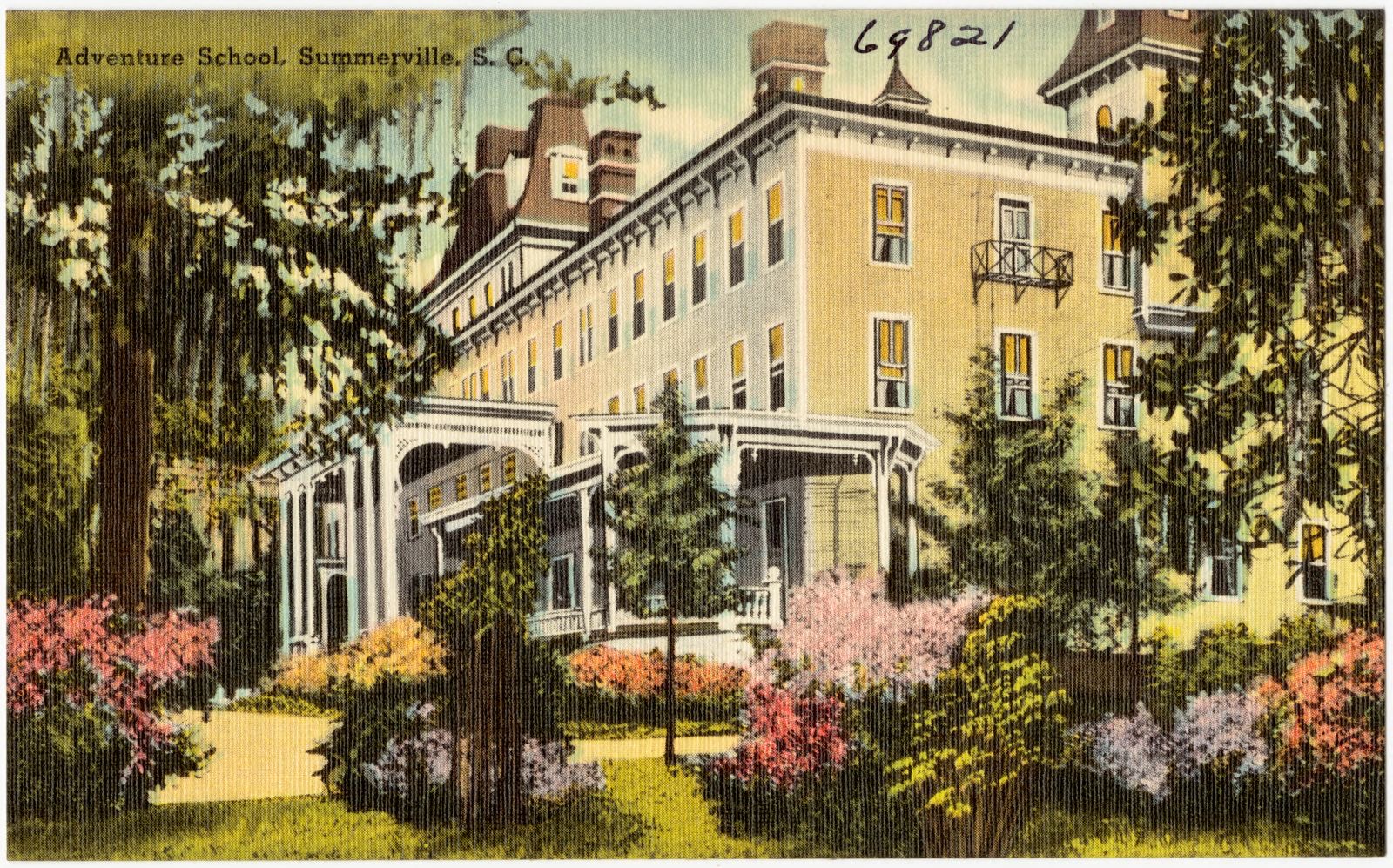
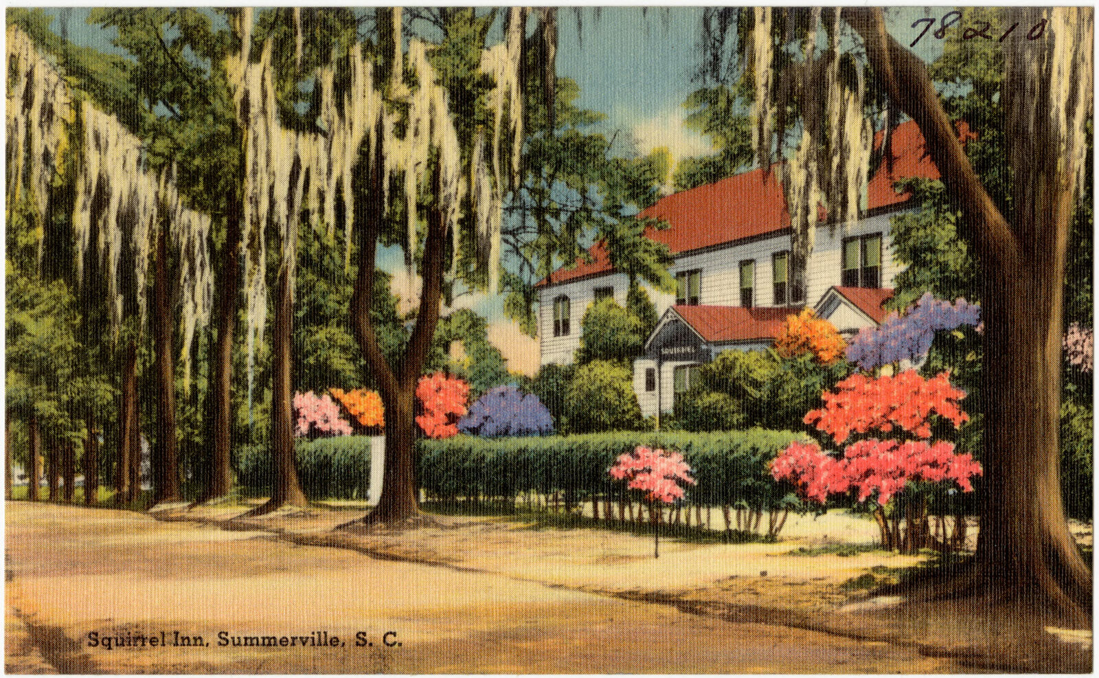
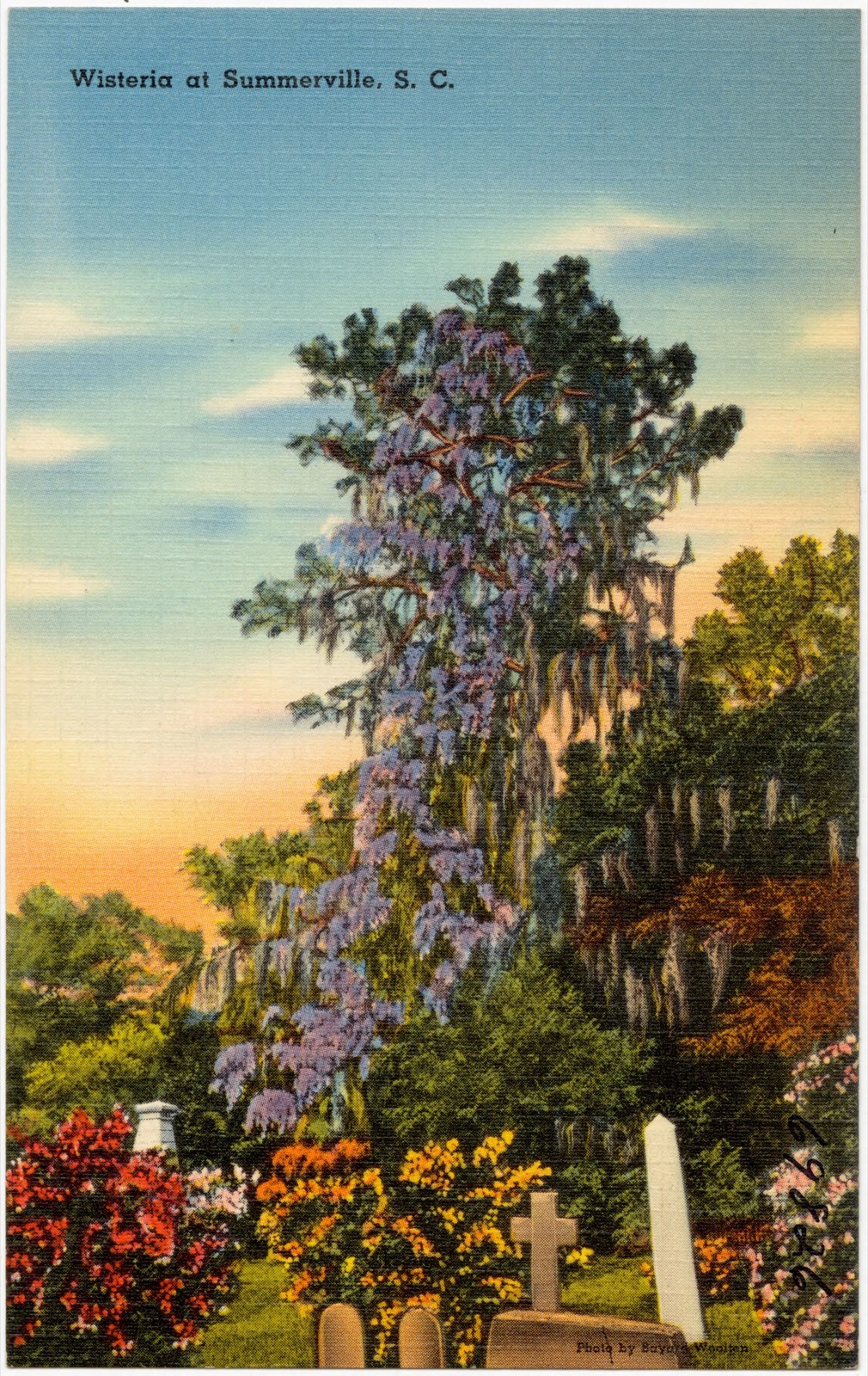
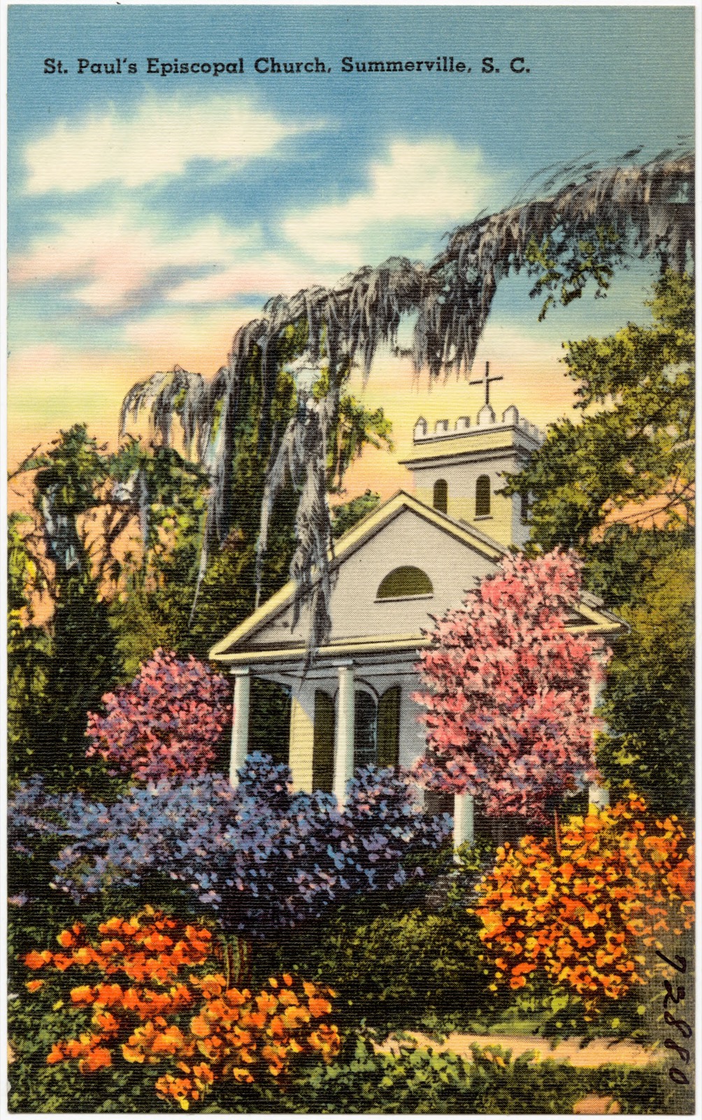
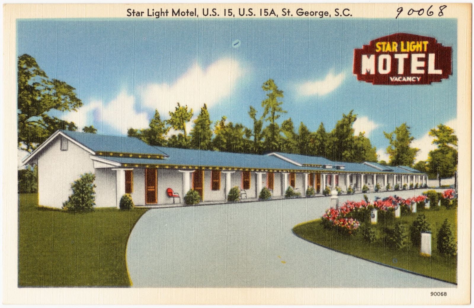
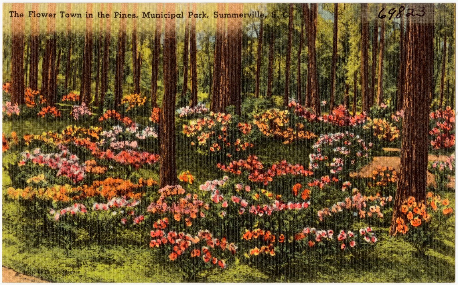
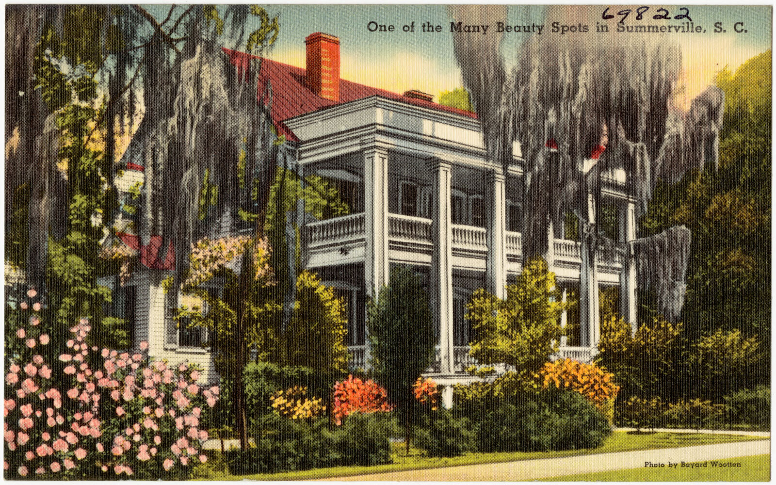
Selected from the Digital Public Library of America's 15 image records catalogued for this county. Every one shown here carries a public-domain status or a licence that permits reuse on a site that carries advertising; non-commercial, share-alike and restricted images are excluded. The selection is spread across the county's towns (at most eight per town), so no single institution's bulk upload crowds out the rest. Each opens the holding library's record, and the complete set at the Digital Public Library of America is one click away.
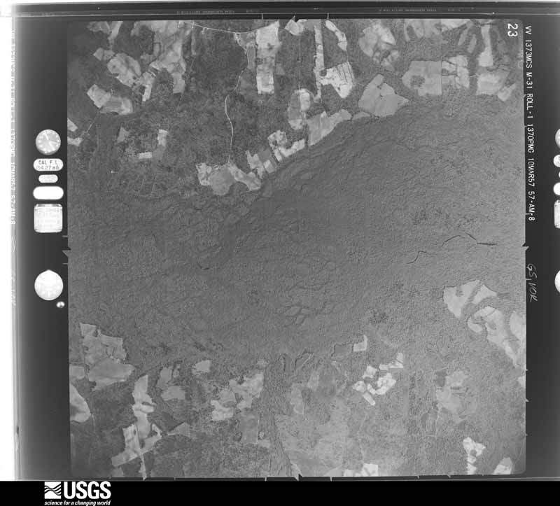
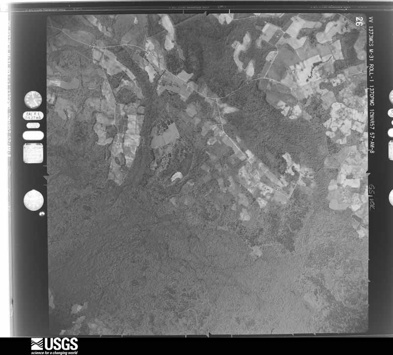
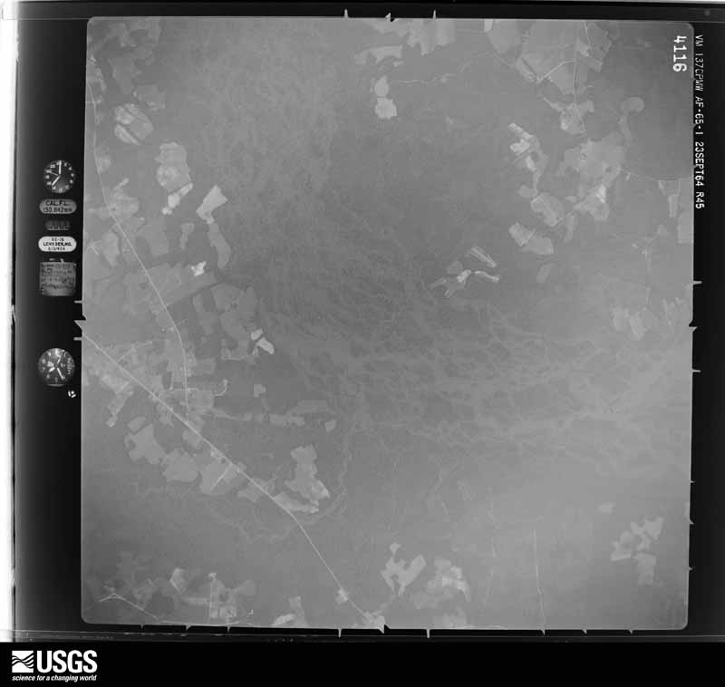
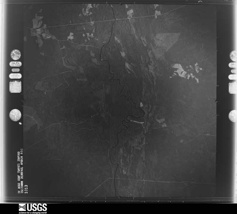
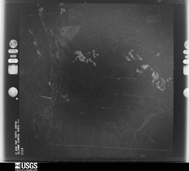
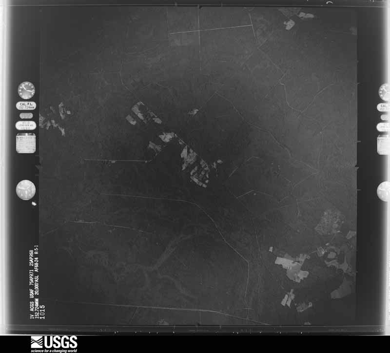
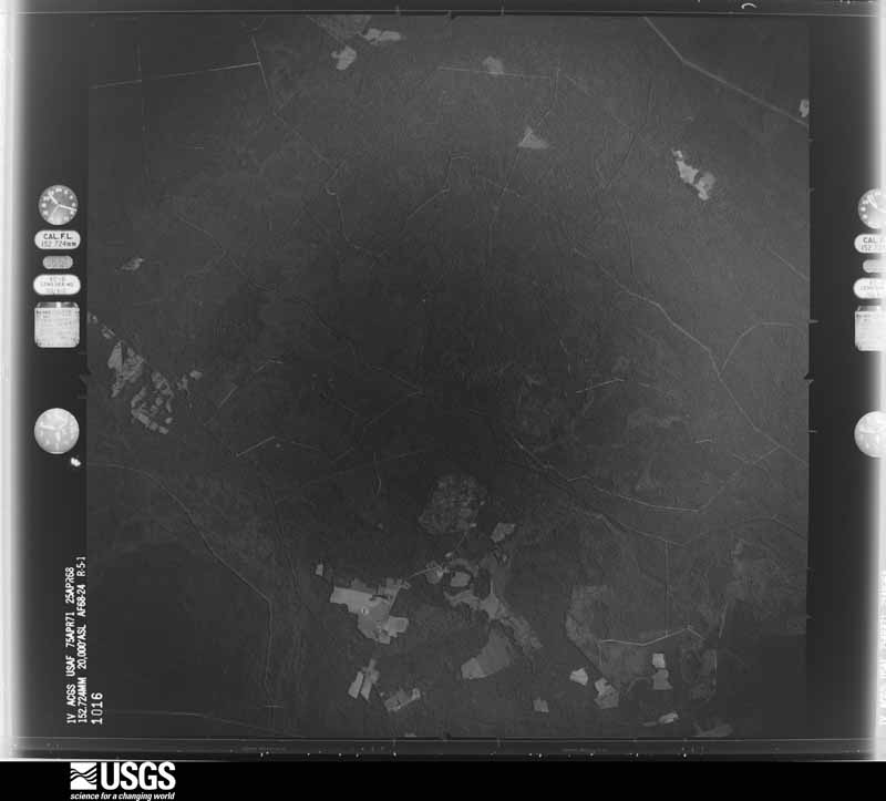
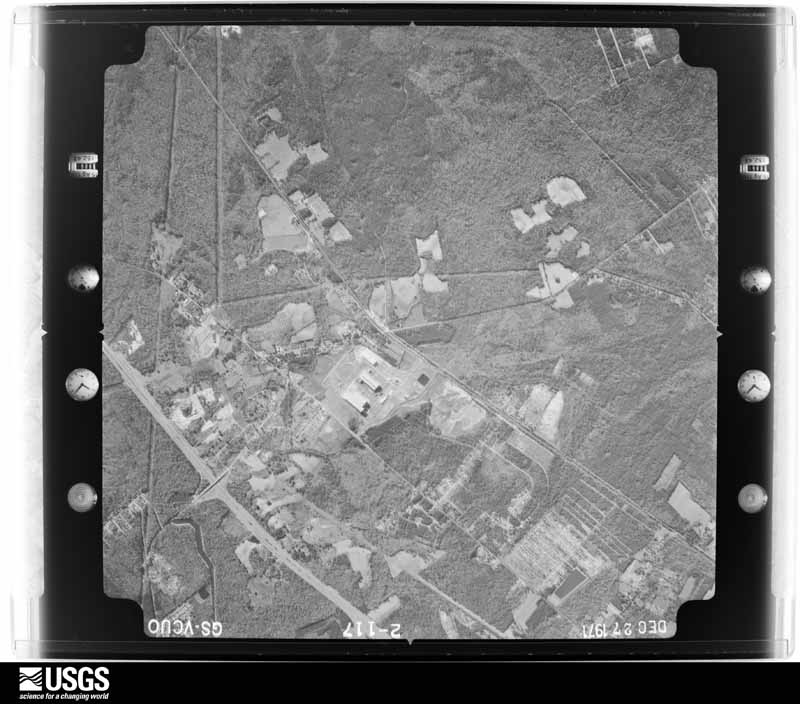
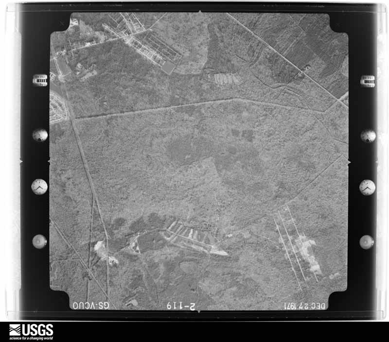
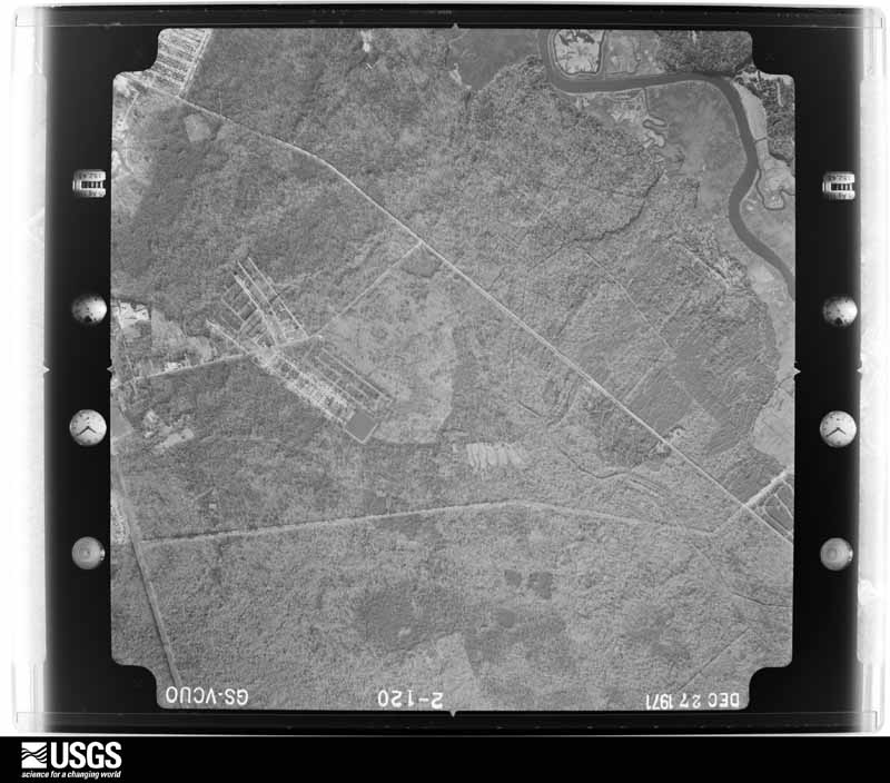
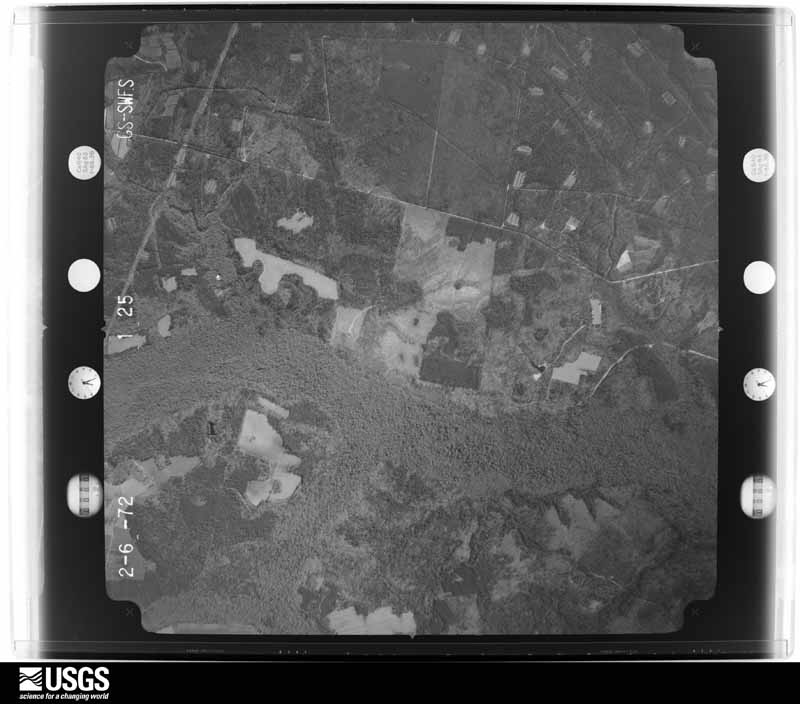
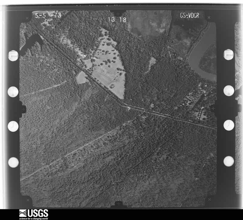
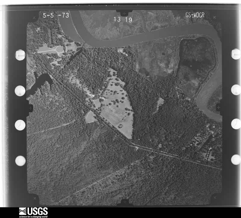
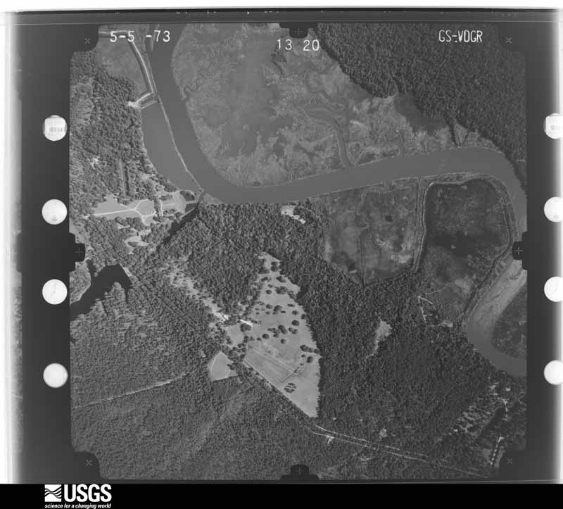
Flown by the U.S. Geological Survey between 1937 and 1989, the Aerial Photo Single Frames collection is the definitive mid-century view of the land: fields, roads and rivers as the camera saw them. The Survey holds 3,179 frames inside the rectangle that bounds this county; the 42 frames below were taken over the county itself, chosen across the decades of flights (at most four a year from that rectangle), so one flight cannot crowd out the rest. The full set is free to browse and download at EarthExplorer under the dataset Aerial Photo Single Frames.
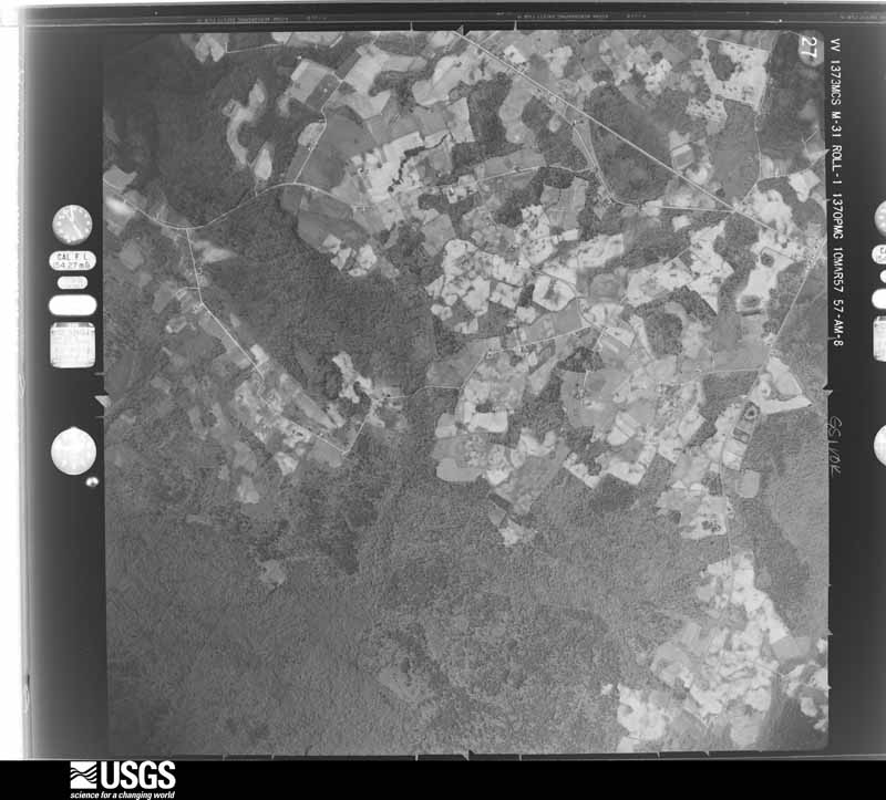
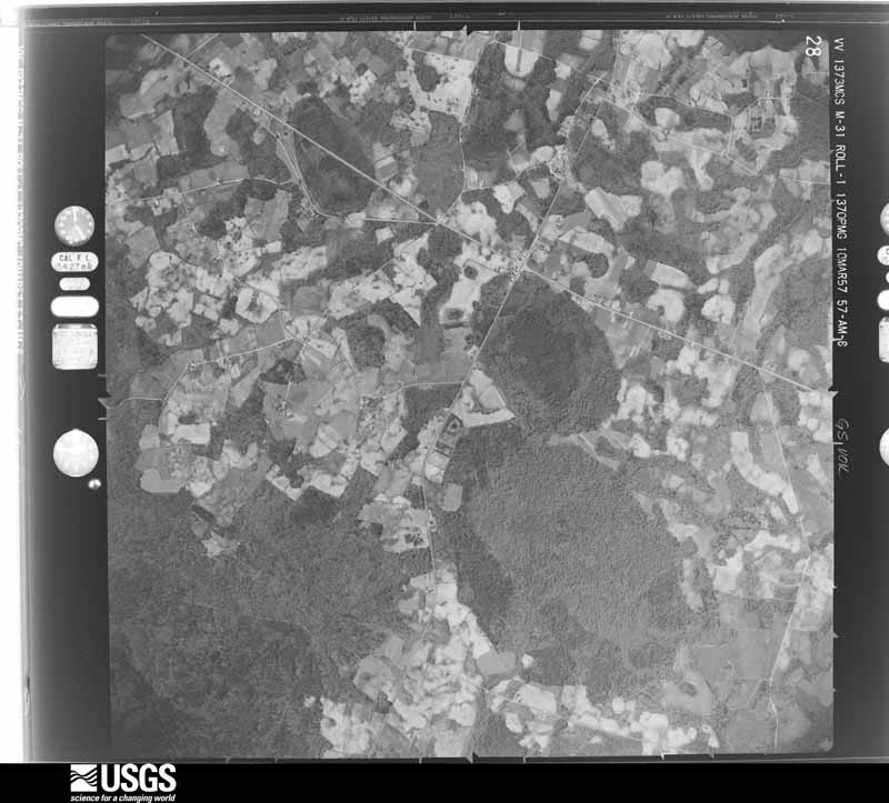
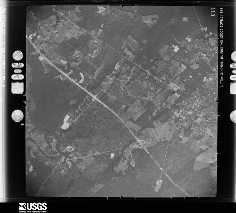
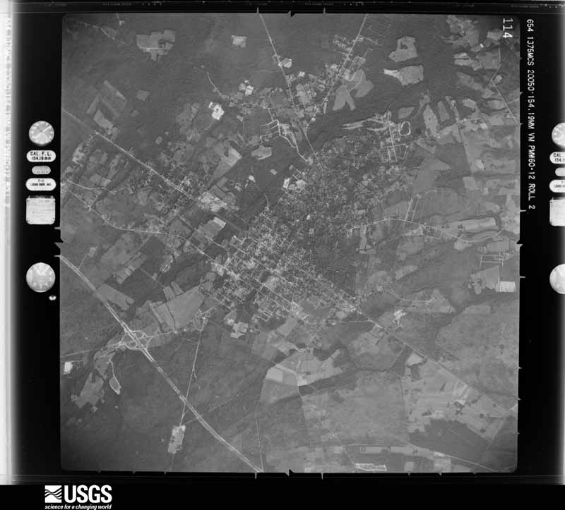
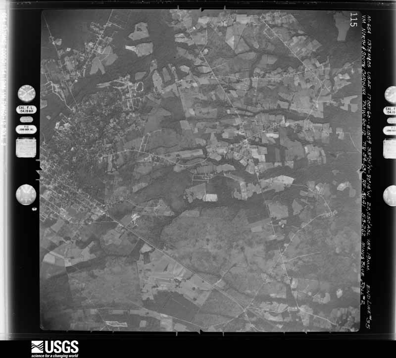
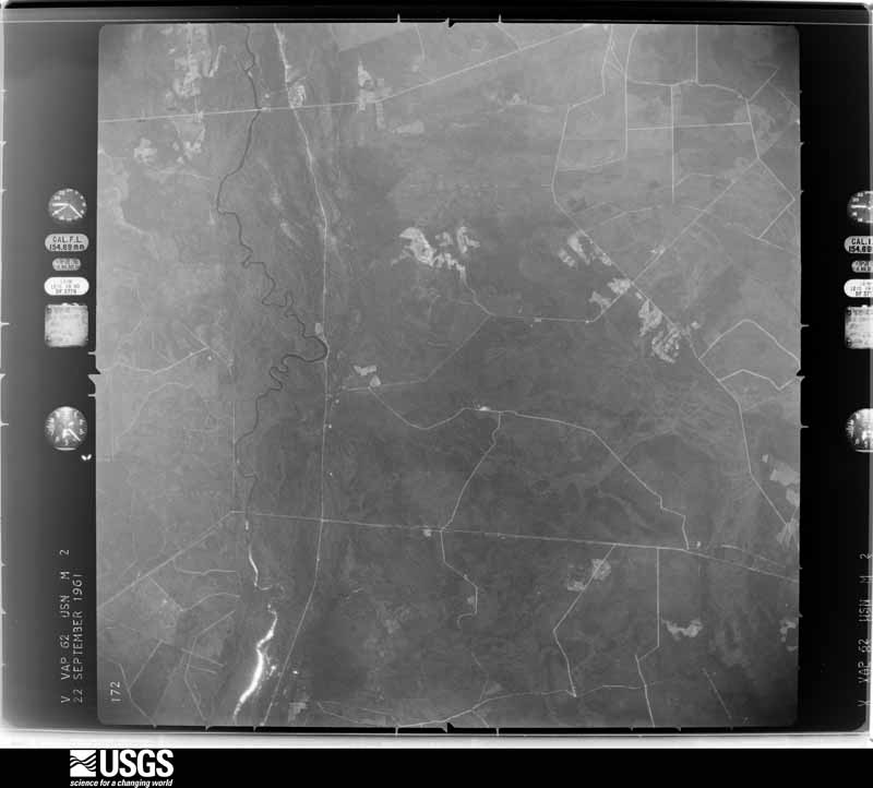
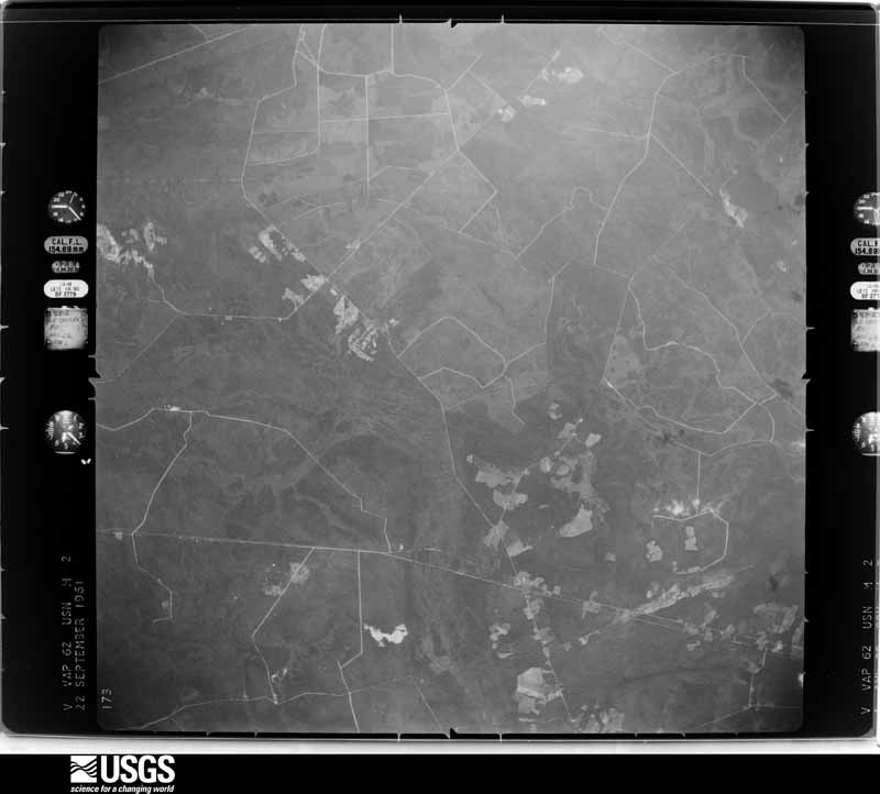
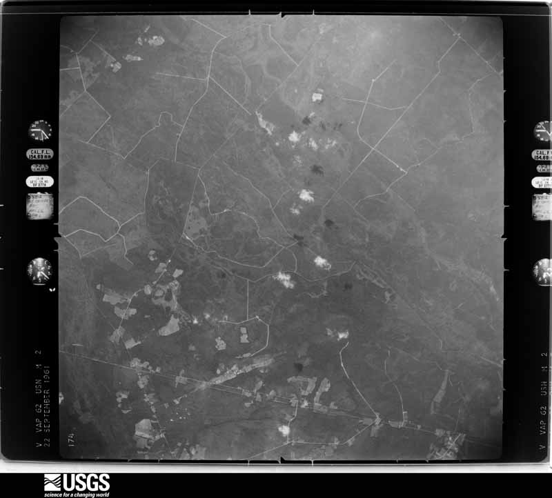
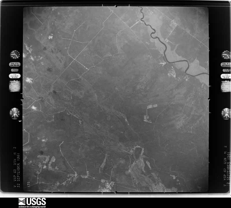
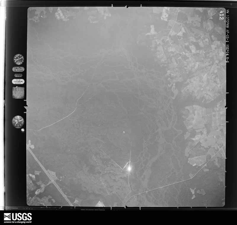
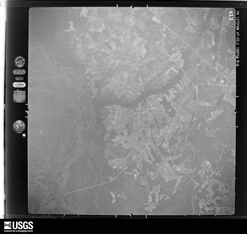
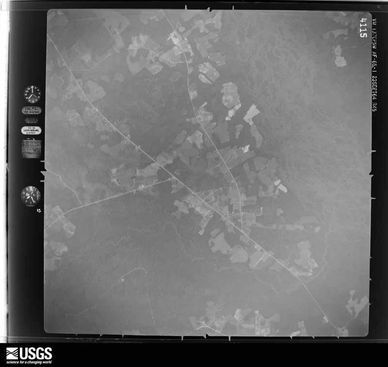
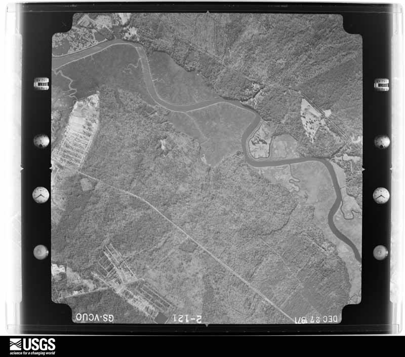
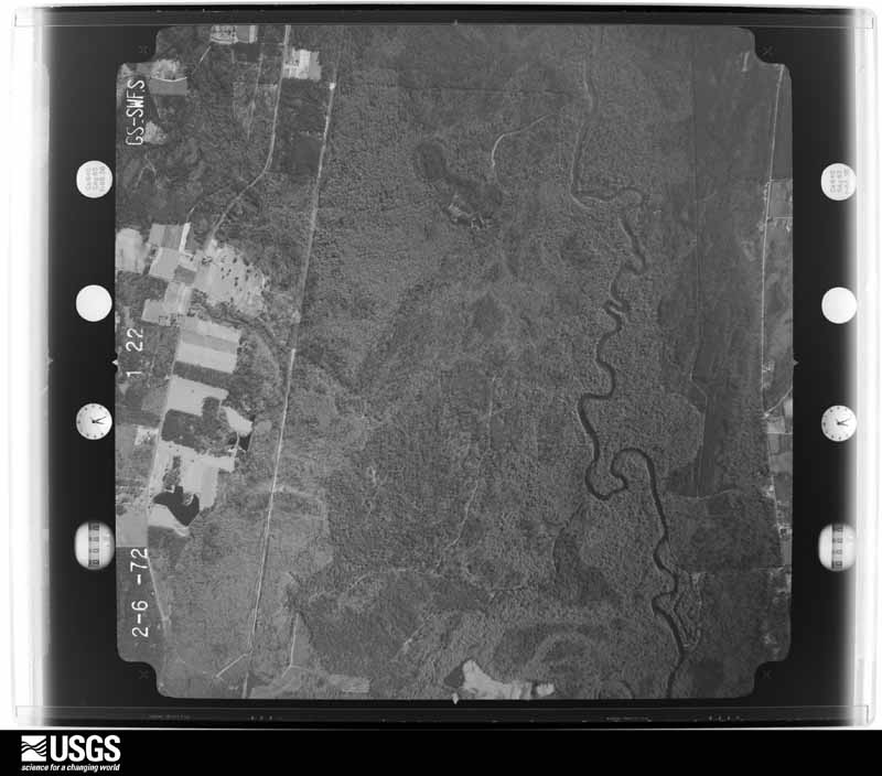
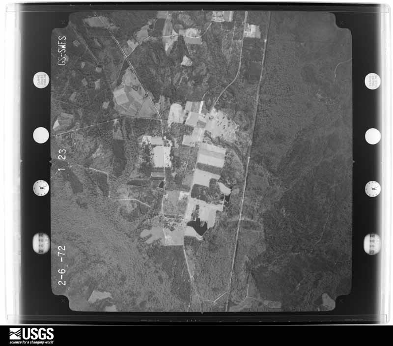
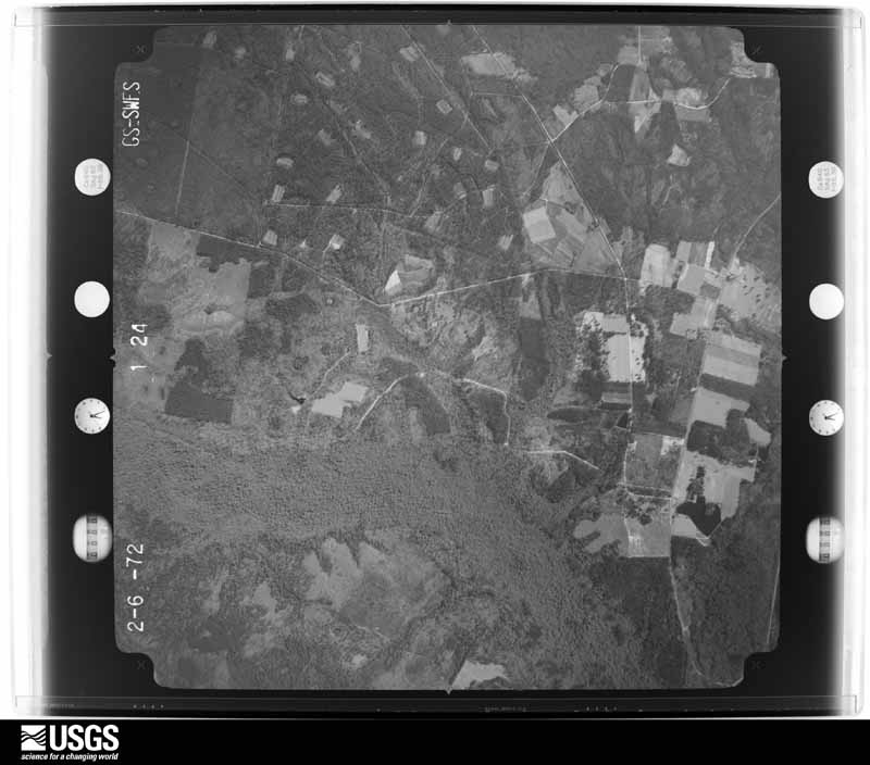
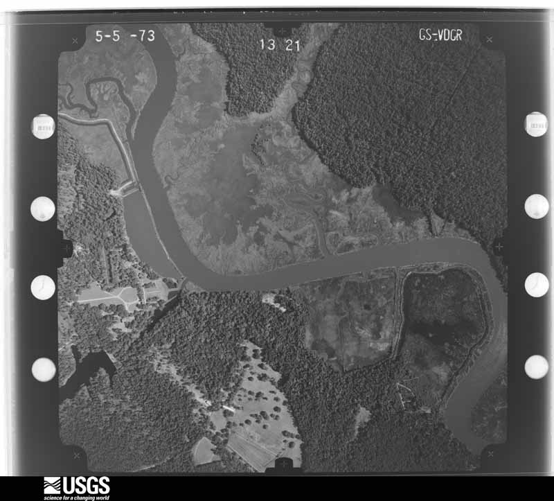
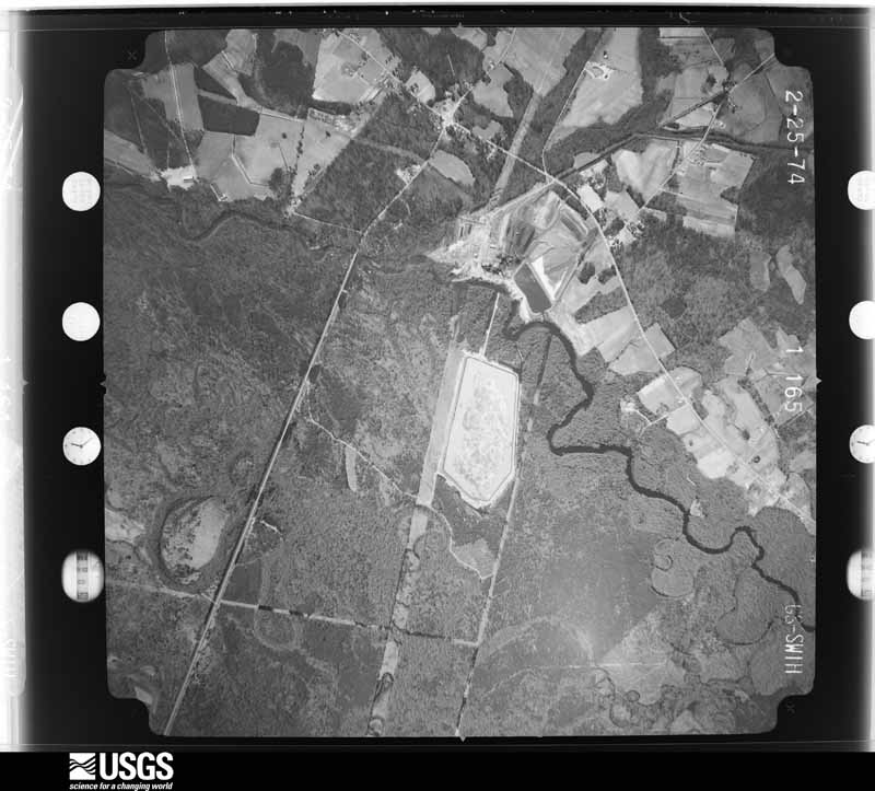
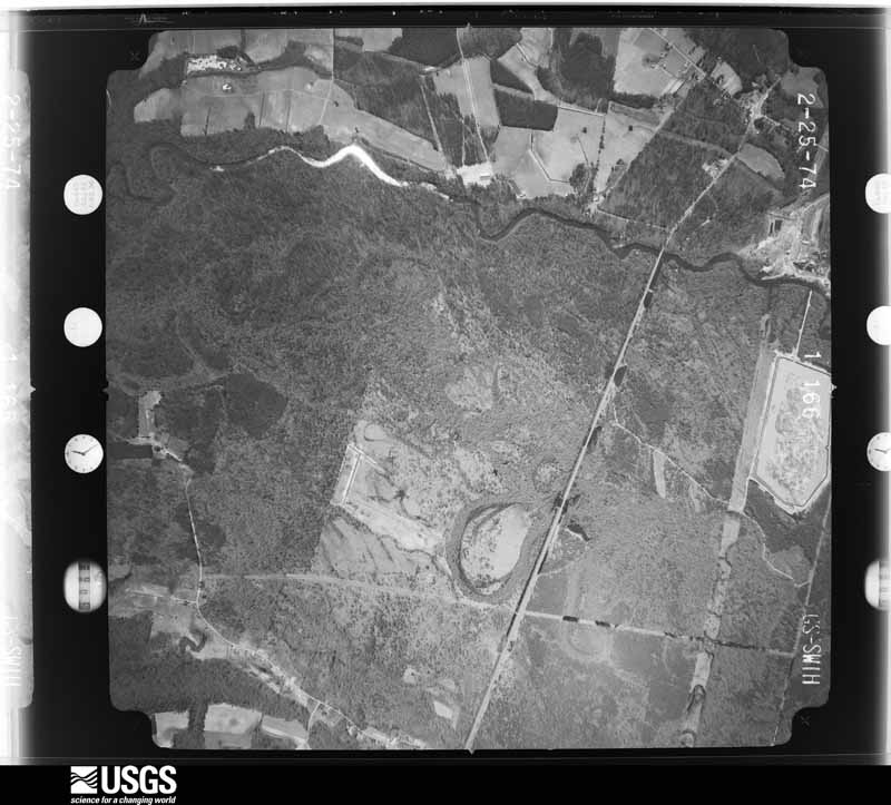
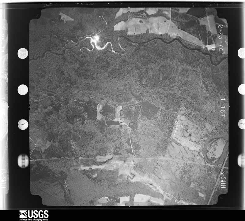
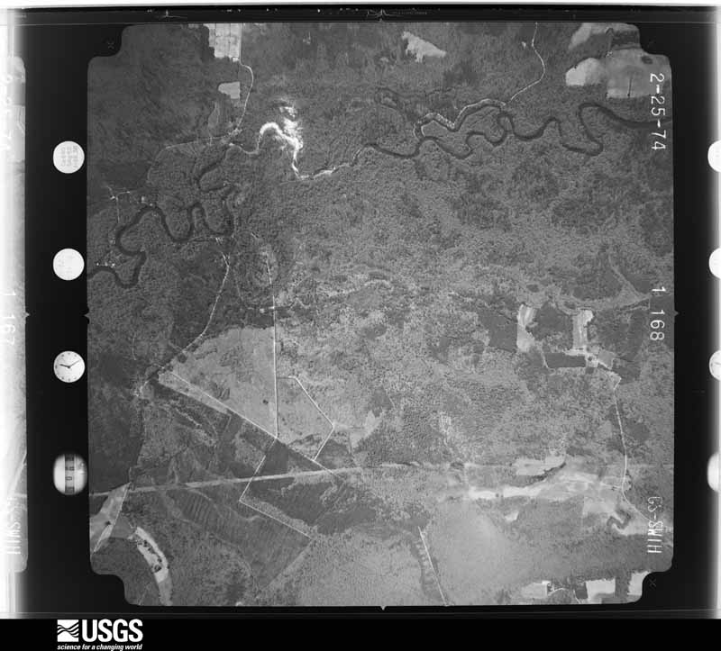
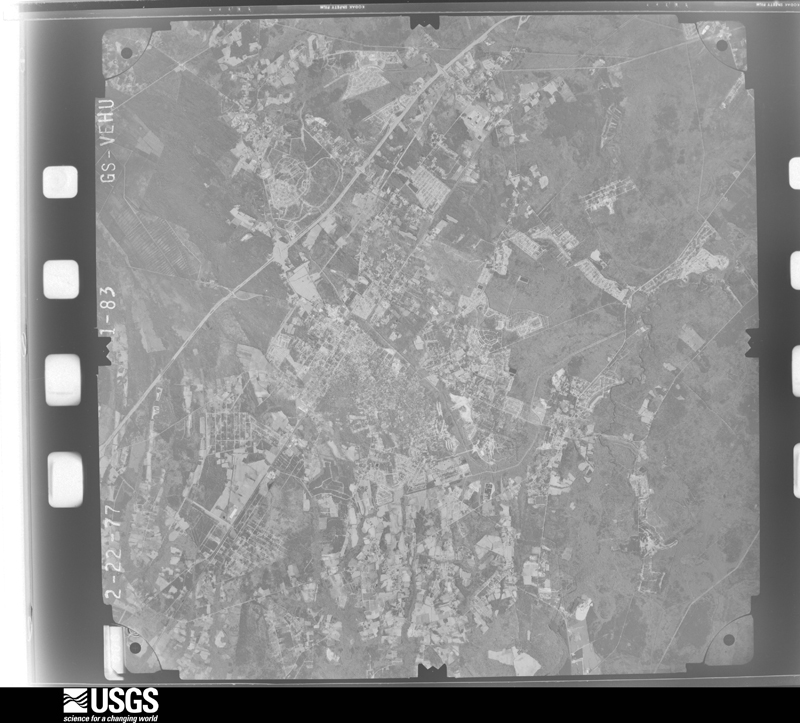
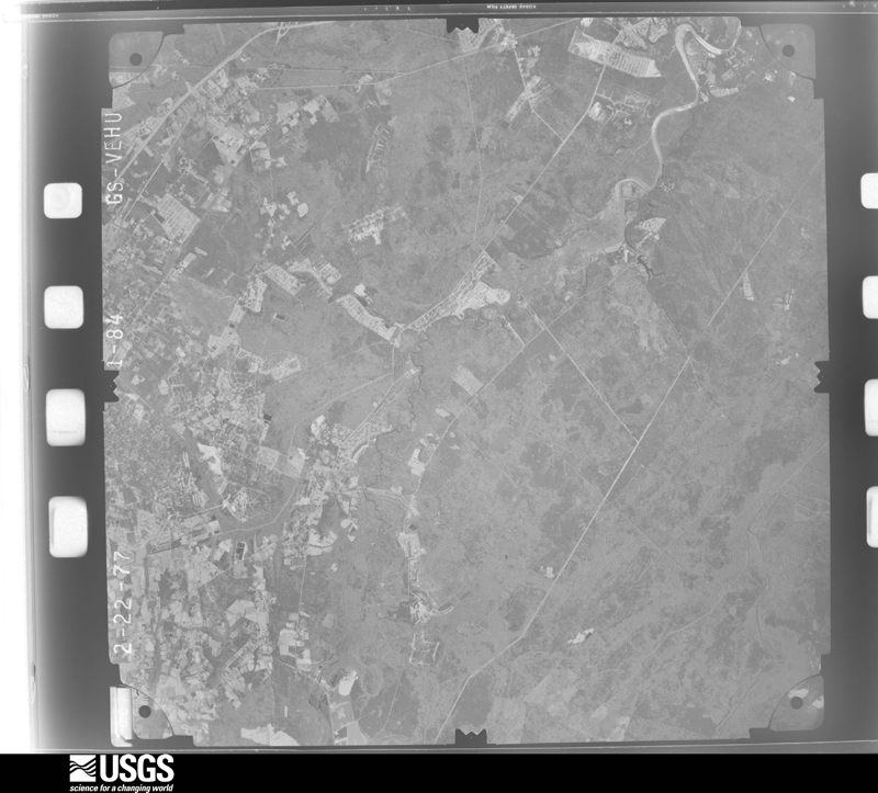
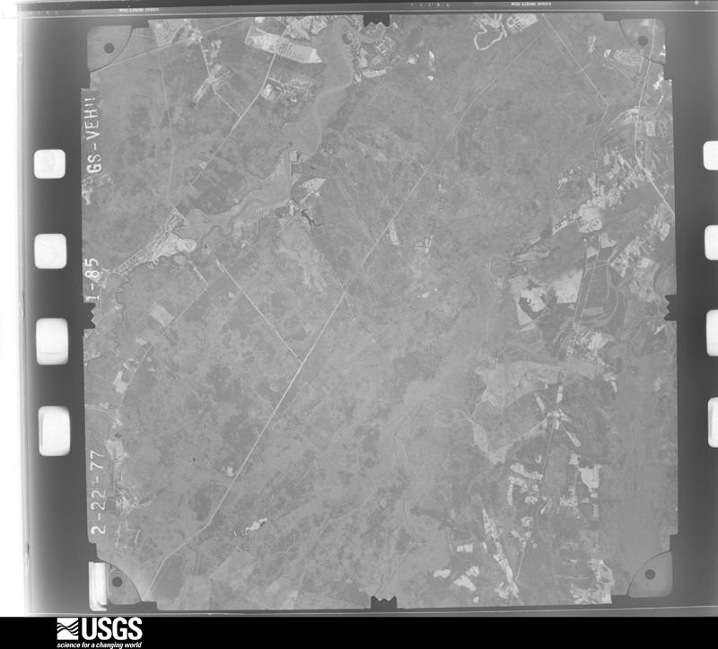
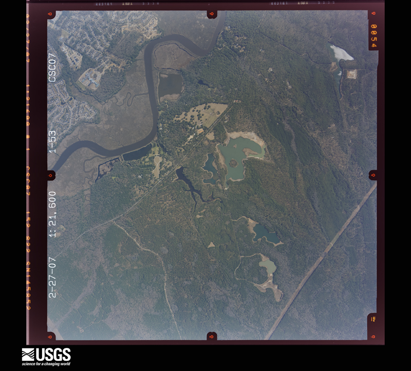
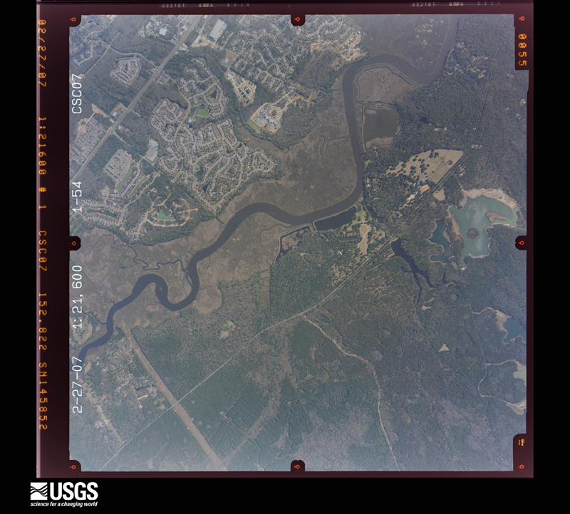
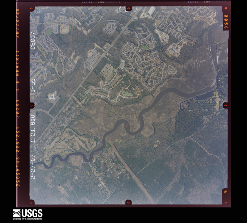
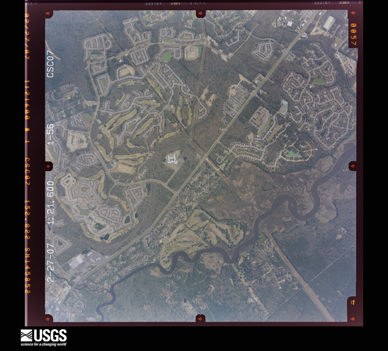
The thermometers that kept this county's weather, and the gages that measured the flow of its streams, as the federal records hold them. The extremes below are measured values from those records, not estimates.
Who lived here in 1950, one enumeration district at a time, as the Census Bureau described each district. Each row opens its official National Archives result, with Population Schedules and ED Maps available there.
Every wildfire the federal occurrence database records inside this county: 2,000 of them, burning about 15,582 acres. 21 started naturally and 413 were recorded as arson. Each settlement page carries the fires within five miles of it.
| Reported cause | Fires |
|---|---|
| Missing data/not specified/undetermined | 702 |
| Debris and open burning | 691 |
| Arson/incendiarism | 413 |
| Misuse of fire by a minor | 88 |
| Equipment and vehicle use | 52 |
| Natural | 21 |
| Smoking | 17 |
| Power generation/transmission/distribution | 9 |
| Other causes | 3 |
| Railroad operations and maintenance | 2 |
| Fireworks | 1 |
| Recreation and ceremony | 1 |
The five largest, by the area the report gives. None of them was recorded as arson.
| Date | Cause | Size | Reported by | Name on the report |
|---|---|---|---|---|
| 24 March 2011 | Debris and open burning | 1,247 acres | South Carolina Forestry Commission | SANDRIDGE |
| 26 October 2001 | Equipment and vehicle use | 549 acres | South Carolina Forestry Commission | not named |
| 21 March 1995 | Missing data/not specified/undetermined | 460 acres | South Carolina Forestry Commission | not named |
| 9 March 2010 | Debris and open burning | 437 acres | South Carolina Forestry Commission | not named |
| 9 March 1993 | Missing data/not specified/undetermined | 349 acres | South Carolina Forestry Commission | not named |
| 7 March 2005 | Debris and open burning | 259 acres | South Carolina Forestry Commission | not named |
| 14 February 1996 | Missing data/not specified/undetermined | 185 acres | South Carolina Forestry Commission | not named |
| 18 April 2010 | Debris and open burning | 175 acres | South Carolina Forestry Commission | not named |
Every settlement page carries the fires within five miles of it - see the settlement index below.
The NOAA Storm Events Database holds 804 reports for this county, causing no deaths, 15 injuries and about $10,990,200 in recorded property damage. Each settlement page carries the reports that name it.
| Kind of event | Reports |
|---|---|
| Thunderstorm Wind | 501 |
| Hail | 185 |
| Flash Flood | 62 |
| Tornado | 22 |
| Lightning | 19 |
| Flood | 8 |
| Funnel Cloud | 5 |
| Heavy Rain | 2 |
The most serious of them, by death, then injury, then recorded damage. The accounts are quoted exactly as the forecast office filed them.
| When | Event | Place named | Harm | What the report says |
|---|---|---|---|---|
| July 1995 | Thunderstorm Wind | Summerville | 4 hurt, $50,000 | Winds near 70mph (estimated by WSO Charleston Meteorologist In Charge) |
| May 1974 | Tornado (F1) | not stated | 2 hurt, $2,500,000 | no account filed |
| May 1976 | Tornado (F1) | not stated | 1 hurt, $250,000 | no account filed |
| June 1983 | Tornado (F1) | not stated | 1 hurt, $25,000 | no account filed |
| July 2006 | Thunderstorm Wind | Harleyville | 1 hurt, $10,000 | Camper trailer blown over on 7 mile road. |
| July 2025 | Thunderstorm Wind | Givhans | 1 hurt | Dorchester County Emergency Management reported a tree fell on a vehicle near the 700 block of Highway 61, causing a minor injury. |
| August 2007 | Lightning | Summerville | 1 hurt | A Summerville man was struck by lightning while walking back from his mailbox. The man said that it felt like someone had whupped him, but didn't remember getting struck by lightning. Other than feeling sore, everything checked out fine. |
| June 1998 | Thunderstorm Wind | Summerville | 1 hurt | Camper trailer overturned. One minor injury. |
| July 1997 | Lightning | St George | 1 hurt | A woman was struck by lightning. |
| May 1995 | Thunderstorm Wind | Summerville | 1 hurt | Thunderstorm winds blew down trees, downed power lines, and caused considerable minor damage. There were several small fires started when limbs fell on power lines. One injury occurred when a tree crushed the roof of a car near Ridgeville. |
| June 1996 | Lightning | Summerville | 1 hurt | no account filed |
| October 2015 | Flash Flood | Summerville Meml Arp | $3,093,450 | Law enforcement, media and social media posts indicated widespread flooding around Summerville and Wescott Plantation. Roads closed included Orangeburg Road at the intersection of Greenwave Boulevard, Ashley River Road at the intersection of Bacons Bridge Road and Wescott Boulevard between Ballantine Drive and Patriot Boulevard. The Dorchester SPCA building was also flooded with dogs standing in water inside their kennels. Dogs and other animals were being moved to safe locations. An off duty NWS employee also reported a tree down along South Main Street with damage to a structure and a vehicle. |
| October 2015 | Flash Flood | Summerville | $3,093,450 | An emergency manager for Dorchester County reported widespread flooding around Summerville, Ladson and Wescott Plantation. Widespread road closures, damage to homes and water rescues were made. Roads closed due to flooding included the 100 and 300 block of Dorchester Manor Boulevard, the 400 block of Trade Street, Hodge Road between Deming Way and Short Street, Azalea Drive near the intersection with OT Wallace Drive, Parson Road, Dorchester Road at the intersection with Sawmill Branch Creek, Mallard Road between Hill Street and the Habitat for Humanity, West Butternut Road, the 200 block of Lawrence Drive, Aberdeen Circle, Arbors Oak Drive, Renau Boulevard near the intersection with Industrial Road, Stratton Drive, Green Wave Boulevard, Old Trolley Road from Miles Jamison Road to Dorchester Road and Orangeburg Road at the intersection with Mallard Road. ||Eagle Creek was also overflowing its banks and flooding multiple residences in Summerwood and Tranquil Estates. Water backed up a drainage canal, resulting in waist deep water in the middle of Arbor Oaks Drive. Approximately 2 feet of water was in 40 to 50 homes along Arbor Oaks Drive. Around 100 people were rescued from flooded areas along Old Trolley Road, Ladson Road and Miles Jamison Road. |
| September 2017 | Flash Flood | Slandsville | $500,000 | Dorchester County Emergency Management reported that water entered at least 31 homes due to flash flooding along Eagle Creek. This included homes on Tranquil Lane and Harrison Road in the Tranquil Acres/Estates neighborhood, as well as homes in the Summerwood subdivision off of Ladson Road. Of the 31 impacted structures, 18 had 12 inches or less of water, 10 had between 13 and 23 inches of water, and 3 had between 24 and 35 inches of water inside. |
| March 2008 | Tornado (EF1) | Ridgeville | $218,000 | An EF1 Tornado was confirmed by a storm survey conducted by the Charleston, South Carolina National Weather Service Office. The Tornado touched down north of Ridgeville, South Carolina at the Carters fast stop gas station, and traveled 2.2 miles before lifting. The maximum width of the tornado was determined to be 40 yards. Roof panels were stripped from the Canopy at the Carters fast stop gas station, two mobile homes were damaged with one shifted 5 feet off its foundation and another having its windows and doors blown out. Additionally, a car was moved approximately 50 feet. The estimated maximum sustained winds in this EF1 Tornado were estimated to be between 100 and 110 mph. |
| July 2019 | Lightning | Ridgeville | $100,000 | Lightning struck a building at Key West Boats in the 500 block of Ridgeville Road. The building was deemed a complete loss following the fire. Highway 27 and Ridgeville Road near the fire were both closed to all traffic. |
| August 2024 | Flash Flood | Slandsville | $60,000 | A Dorchester County emergency manager reported paved roadway damage on Summers Drive between Highway 17A and Victoria Point Lane. A small bridge in between these locations was also starting to crumble at this time. |
| April 2022 | Lightning | Rosinville | $60,000 | The Dorchester County Warning Point reported a mobile home at the 300 Block of Spring Branch Road destroyed by a fire likely caused by a lightning strike. |
| March 2008 | Thunderstorm Wind | Ridgeville | $60,000 | Straight line wind damage was observed near the Jedburg, South Carolina exit off of I-26. Interviews revealed that large pine trees were down across the roadway. In addition over one hundred pine trees were snapped off along the trunk or completely uprooted. Wind speeds were estimated to be between 95 and 105 mph. |
| August 2020 | Flash Flood | Summerville | $50,000 | The media reported flooding to a coffee shop near the intersection of East 3rd North Street and North Main Street. The coffee shop warehouse had around 8 inches of water in the building and around 4 inches of water inside the main customer building, destroying most flooring and some wall/cabinet wood panels. Video from social media also indicated flooding along Richardson Creek entering a few homes near the intersection of Central Avenue and South Pine Street, one of which appeared to have 1 to 2 feet of water inside exterior walls. |
| October 2008 | Flash Flood | Slandsville | $50,000 | A trained spotter reported that Orangeburg Road was closed due to the road being collapsed from flooding between Dorchester Road and Route 17A in Knightsville, South Carolina. |
| April 2006 | Thunderstorm Wind | Summerville | $50,000 | Trees down and homes damaged in the Crestwood subdivision. Damage includes trampoline through a home. |
| April 2006 | Thunderstorm Wind | Summerville | $50,000 | Parkway Business Center near intersection of Highway 17A and Highway 78 had roof partially peeled back. |
| August 2023 | Flash Flood | Reevesville | $35,000 | Dorchester County Emergency Management provided pictures of a paved road damaged near the intersection of Durhams Corner Road and McAlhany Road and near Durham's Store due to heavy rainfall associated with Tropical Storm Idalia. The roadbed under the eastbound lane near a small creek was severely eroded and compromised. Emergency management also reported unpaved Westfield Road washed out near the intersection with Mulberry Road. |
| August 2023 | Flash Flood | St George Muni Arpt | $30,000 | A Dorchester County emergency manager reported 2 vehicles swept off the road by moving floodwaters on Indian Field Circle near Highway 15 due to recent heavy rainfall associated with Tropical Storm Idalia. Both drivers were able to escape their vehicles with no injuries. |
| July 2022 | Flash Flood | Slandsville | $30,000 | Dorchester County Emergency Management reported flash flooding at two locations near Highway 61, Bacon's Bridge Road, and Dorchester Road. Flood waters were entering a residence on West Walnut Circle and another residence on White Church Lane. A personal weather station located one street west of White Church Lane measured 4.90 inches of rain between 5:04 pm EST and 11:39 pm EST. A personal weather station located just west of West Walnut Circle measured 5.31 inches of rain between 4:59 pm EST and 10:19 pm EST. |
| July 2013 | Flash Flood | Slandsville | $30,000 | Trolley Road, near Oakbrook was closed due to flooding. Several cars were floating in waist-deep water. |
| April 1997 | Tornado (F1) | St George | $30,000 | no account filed |
| July 2025 | Lightning | Summerville Meml Arp | $25,000 | Dorchester County Emergency Management reported that a lightning strike started a structure fire in the 100 block of Hammock Street. |
| February 2023 | Flood | Slandsville | $25,000 | The South Carolina Highway Patrol reported roadway flooding near the intersection of Orangeburg Road and Williams Family Drive. Broadcast media also reported a section of Orangeburg Road between US 17A and Dorchester Road closed due to part of the road being washed out near a construction zone. |
| June 1976 | Tornado (F1) | not stated | $25,000 | no account filed |
| July 2025 | Lightning | Slandsville | $20,000 | Dorchester County Emergency Management reported that lightning struck a structure and started a fire in the 1000 block of Lovebug Lane. |
| August 2024 | Flash Flood | Dorchester | $20,000 | A Dorchester County emergency manager shared a picture of a washout along the paved 695 Block of Powder Horn Road. |
| August 2024 | Flash Flood | Slandsville | $20,000 | Dorchester County Emergency Management reported that the Department of Transportation was shutting down Delmar Highway at Ashley Ridge High School because floodwaters were washing the roadway away. |
| August 2024 | Flash Flood | Pregnall | $20,000 | A Dorchester County emergency manager shared a picture of paved Wire Road washed out near the intersection with Zion Road. |
| April 2006 | Thunderstorm Wind | Summerville | $15,000 | Power pole fell on residence along Highway 61, |
| June 1995 | Thunderstorm Wind | St. George & Summervi | $15,000 | Thunderstorm winds and lightning caused considerable minor damage. Two homes hit by lightning in the Summerville area. |
| August 2024 | Flash Flood | Slandsville | $10,000 | A Dorchester County emergency manager reported a water rescue in progress on Magwood Drive. Another resident on the 9000 Block of Dorchester Road requested assistance. In addition, a guardrail along Dorchester Road was washed out with water along the road bankfull. |
| September 2022 | Flash Flood | Summerville | $10,000 | A NWS employee reported water entering the first floor of a home at 105 Flicker Lane. |
| September 2022 | Flash Flood | Summerville | $10,000 | Video shared via Twitter shows flood waters entering an attached garage of a home at 4169 Club Course Drive. The home backs up to a small creek that overflowed due to heavy rainfall associated with Hurricane Ian. |
| June 2013 | Lightning | Slandsville | $10,000 | Media reported a lightning strike caused a house fire along County Home Road. The report was confirmed by a Dorchester County fire chief. |
| July 2013 | Flash Flood | Summerville | $10,000 | Highway Patrol reported the road closed due to flooding at the intersection of Savannah Round and Old Trolley Road. |
| August 2011 | Thunderstorm Wind | Summerville | $10,000 | The public reported numerous trees split in half and several trees uprooted in Quail Arbor V along Sylvan Terrace. A tree was also blown down on a fence and camper. |
| June 2008 | Thunderstorm Wind | St George | $10,000 | The public reported that a carport roof was torn off damaging an automobile on Cedar Lane. Two trees were also reported to have snapped off near the top. The damage occurred in Saint George, South Carolina. |
| July 2006 | Thunderstorm Wind | Summerville | $10,000 | Trees down in Summerville, Jedburg, and Reevesville. |
| July 2006 | Thunderstorm Wind | St George | $10,000 | Numerous trees down in Saint George, Reevesville, along Highway 78, and on Highway 15. |
| August 2006 | Thunderstorm Wind | Summerville | $10,000 | In Greenhurst subdivision, several trees down and/or snapped. Large branch fell on a truck and damaged it. Damage to a home. |
| August 2011 | Thunderstorm Wind | Summerville | $8,000 | A trained spotter reported numerous trees and power lines down at Coosaw Creek Country Club. |
| June 2012 | Thunderstorm Wind | Ridgeville | $7,000 | Law enforcement reported 1 tree down on North Main street. The limbs of the tree fell on a nearby shed and car. |
| June 2011 | Thunderstorm Wind | Summerville | $7,000 | The public estimated a 70 mph wind gust that blew several large trees down and a transformer of Dorchester Road. |
| June 2011 | Thunderstorm Wind | Summerville | $6,000 | The public reported half a dozen trees down in Azalea Park in Summerville. |
| August 2011 | Thunderstorm Wind | Slandsville | $6,000 | A trained spotter reported numerous trees down on Bacons Bridge Road. |
| May 2025 | Thunderstorm Wind | Slandsville | $5,000 | Dorchester County Emergency Management reported a power line down in the 100 block of Blythe Avenue off of Bacons Bridge Road. |
| December 2018 | Flood | Slandsville | $5,000 | A trained spotter reported a few stalled cars due to flooding on Bacons Bridge Road just north of Dorchester Road. |
| December 2018 | Flood | Summerville Meml Arp | $5,000 | The public relayed a video showing water flowing across Renau Road where it crosses Rumphs Hill Creek. The road was closed due to flooding and a portion of an adjacent dirt driveway had washed out where a drainage pipe ran under it. |
| August 2018 | Flood | Slandsville | $5,000 | A Dorchester County Emergency Manager reported flooding due to heavy rainfall approximately 1-2 days prior upstream of the Ashborough neighborhood, mainly along Lake Ashborough extending toward the Ashley River. Mayfield Street and a park had water approximately 6 to 8 inches deep in some places. A few rescues were made due to stalled cars on streets. A few homes were also surrounded by water between Mayfield Street and the Ashley River. |
| June 2014 | Flash Flood | Summerville | $5,000 | The media reported 2 people rescued from a car in high water near Maple Grove Drive and Patriot Boulevard. The cost was generally estimated to be 5.00K. |
| July 2013 | Flash Flood | Summerville | $5,000 | Highway Patrol reported a roadway washout at Maryland Drive and Glenda View Drive. |
| August 2011 | Thunderstorm Wind | Slandsville | $5,000 | The public reported a large tree snapped mid way up and fell on a home under construction in Taylor Plantation. |
| June 2010 | Thunderstorm Wind | Jedburg | $5,000 | The public reported 4 pine trees and 1 sixteen inch diameter oak tree snapped. |
The Survey's mineral resources record lists 35 workings inside this county. 10 still produce and 25 are closed or unrecorded. Each settlement page carries the workings within five miles of it.
| Commodity | Workings |
|---|---|
| Sand and Gravel, Construction | 14 |
| Clay | 11 |
| Sand | 5 |
| Limestone, General | 3 |
| Clay, Cement Rock | 1 |
| Limestone, General, Cement Rock | 1 |
The least common of them first, because a county's hundredth gravel pit says nothing its first ten did not.
| Where | Site | Commodity | Status | Recorded |
|---|---|---|---|---|
| Giant Portland Marl Pit(Harleyville Mine) | Clay, Cement Rock | Producer | Sedimentary | |
| Gifford Hill Marl Pit(Harleyville Quarry) | Limestone, General, Cement Rock | Producer | Sedimentary | |
| Harleyville Quarry | Limestone, General | Unknown | Sedimentary | |
| Harleyville Quarry & Cement Plant | Limestone, General | Producer | ||
| Harleyville Quarry & Cement Plant | Limestone, General | Producer | ||
| Big Oak Mine | Sand | Unknown | Sedimentary | |
| Fishburne Creek Mine | Sand | Unknown | Sedimentary | |
| Reeves-Edisto | Sand | Unknown | Sedimentary | |
| Reeves-Edisto | Sand | Unknown | Sedimentary | |
| Sandpit Road Mine | Sand | Unknown | Sedimentary | |
| Dorchester Mine East | Clay | Unknown | Sedimentary | |
| Dorchester Mine East | Clay | Past Producer | ||
| Dorchester Mine West | Clay | Unknown | Sedimentary | |
| Dorchester Mine West | Clay | Past Producer | ||
| Giant Clay Pit | Clay | Unknown | Sedimentary | |
| Knightsville Mine | Clay | Unknown | Sedimentary | |
| Knightsville Mine | Clay | Past Producer | ||
| Newington Mine & Mill | Clay | Past Producer | ||
| Newington Pit | Clay | Unknown | Sedimentary | |
| Salisbury Brick Mine | Clay | Unknown | Sedimentary | |
| Salisbury Mine | Clay | Producer | ||
| Becker Sand and Gravel Co., Div. Of | Sand and Gravel, Construction | Past Producer | ||
| Dorchester County Plant | Sand and Gravel, Construction | Past Producer | ||
| Dorchester Dirt Pit | Sand and Gravel, Construction | Past Producer | Sedimentary | |
| Evergreen Mine | Sand and Gravel, Construction | Producer | ||
| Evergreen Pit | Sand and Gravel, Construction | Producer | Sedimentary | |
| Hilton Mine | Sand and Gravel, Construction | Producer | 1983 | |
| J.F. Cleckey Mine7 | Sand and Gravel, Construction | Unknown | Sedimentary | |
| Janet Plant | Sand and Gravel, Construction | Past Producer | Sedimentary | |
| Lindstedt Mine | Sand and Gravel, Construction | Past Producer | Sedimentary | |
| Murray Mine | Sand and Gravel, Construction | Producer | ||
| Murray Pit | Sand and Gravel, Construction | Producer | Sedimentary | |
| Santee Sand Co. Sand Pit | Sand and Gravel, Construction | Past Producer | Sedimentary | |
| Summerville Plant | Sand and Gravel, Construction | Past Producer | Sedimentary | |
| Unnamed Sand Pit | Sand and Gravel, Construction | Unknown | Sedimentary |
Named settlements recorded in the Geographic Names Information System, each with the topographic sheets covering it. Villages, hamlets and abandoned places alike. Each is shown with the nearest named watercourse or landform and the survey quadrangle it falls on. The 2 places that were also surveyed for fire insurance come first, with the number of atlases and photographs held for them.
St. George census division · 29477 · Saint George quadrangle
18 sheets, 1920 to 1990
Fire insurance: 2 atlases
Summerville census division · 29483 · Summerville quadrangle
19 sheets, 1919 to 1990
Fire insurance: 6 atlases
Summerville census division · 29485 · On Sawmill Branch · Stallsville quadrangle
18 sheets, 1920 to 1990
Summerville census division · 29485 · On Sawmill Branch · Stallsville quadrangle
18 sheets, 1920 to 1990
Summerville census division · 29456 · On Chandler Bridge Creek · Stallsville quadrangle
18 sheets, 1920 to 1990
St. George census division · 29471 · On Bear Branch · Saint George quadrangle
18 sheets, 1920 to 1990
Summerville census division · 29483 · Summerville quadrangle
19 sheets, 1919 to 1990
St. George census division · 29477 · On Tom and Kate Branch · Saint George quadrangle
18 sheets, 1920 to 1990
Summerville census division · 29485 · On Sawmill Branch · Stallsville quadrangle
18 sheets, 1920 to 1990
Ridgeville census division · 29472 · Near Rosom Hill · Clubhouse Crossroads quadrangle
16 sheets, 1918 to 1990
Reevesville census division · 29432 · On Cattle Creek · Reevesville quadrangle
18 sheets, 1920 to 1990
Reevesville census division · 29471 · Reevesville quadrangle
18 sheets, 1920 to 1990
No longer a settlement
Summerville census division · 29456 · On Chandler Bridge Creek · Stallsville quadrangle
18 sheets, 1920 to 1990
Summerville census division · 29483 · Summerville quadrangle
19 sheets, 1919 to 1990
Summerville census division · 29472 · Clubhouse Crossroads quadrangle
16 sheets, 1918 to 1990
Ridgeville census division · 29472 · Near Rosom Hill · Clubhouse Crossroads quadrangle
16 sheets, 1918 to 1990
Summerville census division · 29485 · Stallsville quadrangle
18 sheets, 1920 to 1990
Summerville census division · 29483 · On Negro Branch · Summerville quadrangle
19 sheets, 1919 to 1990
Summerville census division · 29483 · Stallsville quadrangle
18 sheets, 1920 to 1990
Summerville census division · 29485 · On Sawmill Branch · Stallsville quadrangle
18 sheets, 1920 to 1990
Reevesville census division · 29477 · On Cowtail Creek · Saint George quadrangle
18 sheets, 1920 to 1990
No longer a settlement
Summerville census division · 29485 · On Sawmill Branch · Stallsville quadrangle
18 sheets, 1920 to 1990
Reevesville census division · 29471 · On Mill Branch · Reevesville quadrangle
18 sheets, 1920 to 1990
Summerville census division · 29485 · On Sawmill Branch · Stallsville quadrangle
18 sheets, 1920 to 1990
No longer a settlement
Summerville census division · 29485 · On Sawmill Branch · Stallsville quadrangle
18 sheets, 1920 to 1990
Summerville census division · 29485 · Stallsville quadrangle
18 sheets, 1920 to 1990
Summerville census division · 29456 · On Chandler Bridge Creek · Stallsville quadrangle
18 sheets, 1920 to 1990
Summerville census division · 29483 · Summerville quadrangle
19 sheets, 1919 to 1990
Summerville census division · 29483 · Stallsville quadrangle
18 sheets, 1920 to 1990
Summerville census division · 29426 · By Leveston Bluff · Clubhouse Crossroads quadrangle
16 sheets, 1918 to 1990
Ridgeville census division · 29472 · On Ting Branch · Ridgeville quadrangle
17 sheets, 1919 to 1990
Summerville census division · 29485 · On Eagle Creek · Stallsville quadrangle
18 sheets, 1920 to 1990
Summerville census division · 29483 · Summerville quadrangle
19 sheets, 1919 to 1990
Ridgeville census division · 29472 · On Timothy Creek · Ridgeville quadrangle
17 sheets, 1919 to 1990
No longer a settlement
Summerville census division · 29456 · On Chandler Bridge Creek · Stallsville quadrangle
18 sheets, 1920 to 1990
Summerville census division · 29485 · On Eagle Creek · Stallsville quadrangle
18 sheets, 1920 to 1990
Summerville census division · 29483 · On Negro Branch · Summerville quadrangle
19 sheets, 1919 to 1990
Summerville census division · 29483 · On Green Bay Branch · Ridgeville quadrangle
17 sheets, 1919 to 1990
No longer a settlement
Summerville census division · 29483 · On Negro Branch · Summerville quadrangle
19 sheets, 1919 to 1990
Summerville census division · 29456 · On Chandler Bridge Creek · Stallsville quadrangle
18 sheets, 1920 to 1990
Summerville census division · 29485 · Stallsville quadrangle
18 sheets, 1920 to 1990
Summerville census division · 29485 · Summerville quadrangle
19 sheets, 1919 to 1990
Summerville census division · 29485 · On Sawmill Branch · Stallsville quadrangle
18 sheets, 1920 to 1990
Summerville census division · 29483 · Stallsville quadrangle
18 sheets, 1920 to 1990
Summerville census division · 29456 · On Chandler Bridge Creek · Stallsville quadrangle
18 sheets, 1920 to 1990
Summerville census division · 29456 · On Chandler Bridge Creek · Stallsville quadrangle
18 sheets, 1920 to 1990
Reevesville census division · 29477 · On Cowtail Creek · Saint George quadrangle
18 sheets, 1920 to 1990
Summerville census division · 29483 · On Negro Branch · Summerville quadrangle
19 sheets, 1919 to 1990
Summerville census division · 29483 · Summerville quadrangle
19 sheets, 1919 to 1990
Summerville census division · 29456 · On Chandler Bridge Creek · Stallsville quadrangle
18 sheets, 1920 to 1990
Reevesville census division · 29471 · On Bear Branch · Reevesville quadrangle
18 sheets, 1920 to 1990
Harleyville census division · 29437 · Near Cane Island · Maple Cane Swamp quadrangle
16 sheets, 1919 to 1990
Summerville census division · 29485 · Stallsville quadrangle
18 sheets, 1920 to 1990
Summerville census division · 29485 · Summerville quadrangle
19 sheets, 1919 to 1990
Summerville census division · 29483 · On Rumphs Hill Creek · Ridgeville quadrangle
17 sheets, 1919 to 1990
Summerville census division · 29456 · On Chandler Bridge Creek · Stallsville quadrangle
18 sheets, 1920 to 1990
Summerville census division · 29483 · On Rumphs Hill Creek · Ridgeville quadrangle
17 sheets, 1919 to 1990
Summerville census division · 29483 · Stallsville quadrangle
18 sheets, 1920 to 1990
Summerville census division · 29485 · Stallsville quadrangle
18 sheets, 1920 to 1990
Summerville census division · 29456 · On Chandler Bridge Creek · Stallsville quadrangle
18 sheets, 1920 to 1990
Summerville census division · 29483 · On Negro Branch · Summerville quadrangle
19 sheets, 1919 to 1990
St. George census division · 29477 · On Lee Branch · Saint George quadrangle
18 sheets, 1920 to 1990
Summerville census division · 29456 · On Chandler Bridge Creek · Stallsville quadrangle
18 sheets, 1920 to 1990
Summerville census division · 29456 · On Chandler Bridge Creek · Stallsville quadrangle
18 sheets, 1920 to 1990
Summerville census division · 29483 · On Negro Branch · Summerville quadrangle
19 sheets, 1919 to 1990
Summerville census division · 29483 · On Hurricane Branch · Ridgeville quadrangle
17 sheets, 1919 to 1990
Summerville census division · 29472 · Near Rosom Hill · Clubhouse Crossroads quadrangle
16 sheets, 1918 to 1990
No longer a settlement
Summerville census division · 29485 · On Sawmill Branch · Stallsville quadrangle
18 sheets, 1920 to 1990
Summerville census division · 29485 · Stallsville quadrangle
18 sheets, 1920 to 1990
Summerville census division · 29472 · Clubhouse Crossroads quadrangle
16 sheets, 1918 to 1990
No longer a settlement
Summerville census division · 29485 · Stallsville quadrangle
18 sheets, 1920 to 1990
The vanished settlements of Dorchester County: the places named above that are no longer on the map.
19 topographic sheets and 6 fire insurance atlases, 1895 to 1944
The complete index, with nothing left out. Each of these is a separate record with its own page: a federal survey report, or the case file that argued a property on to the National Register. Both are public domain and reproduced word for word.
The vanished settlements of Dorchester County, the places these records name that are no longer on the map.