 Block
Greenville, South Carolina
14 topographic sheets cover this place, the earliest surveyed in 1935 and the latest in 1991. It stands in the Greenville census division. It lies in ZIP code area 29601. It stands on Richland Creek. The Survey maps it on the Greenville quadrangle. 70,720 people lived here at the 2020 count. It stands 965 feet above sea level.
Research this city
On record in Greenville
Buildings and businesses the archive holds for this place. Each opens its own page, with the source record it came from.
On the National Register 12 of 57 shown
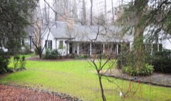 Hugh Aiken Houselisted 2003
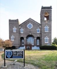 Allen Temple A.M.E. Churchlisted 2010
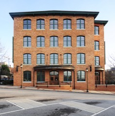 American Cigar Factorylisted 1982
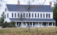 William Bates Houselisted 1978
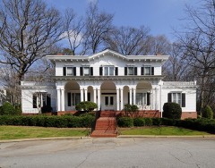 Fountain Fox Beattie Houselisted 1974
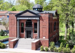 Beth Israel Synagoguelisted 2016
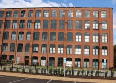 Brandon Milllisted 2014
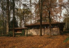 Broad Marginlisted 1978
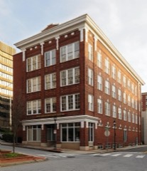 Carolina Supply Companylisted 1997
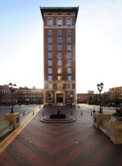 Chamber of Commerce Buildinglisted 1982
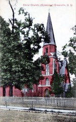 Christ Church (Episcopal) and Churchyardlisted 1971
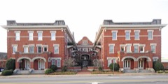 Davenport Apartmentslisted 1982
Every listing in Greenville County
Surveyed buildings and structures 8 records
- Broad Margin, 9 West Avondale Drive, Greenvillefederal building survey, 30 photographs
- Christ Episcopal Church, North Church Street, Greenvillefederal building survey, 15 photographs
- Joel Poinsett House, Greenvillefederal building survey, 1 photograph
- Lanneau-Norwood House, 417 Belmont Avenue, Greenvillefederal building survey, 17 photographs
- Lanneau-Norwood House, Carriage House & Garage, 417 Belmont Avenue, Greenvillefederal building survey, 1 photograph
- Main Street, Main Street, Greenvillefederal building survey, 1 photograph
- Paris Mountain State Park, Bathhouse, Paris Mountain State Park, off SC Route 253, Greenvillefederal building survey, 10 photographs
- Road S-455 Bridge, Spanning Reedy River on Road S-455, Greenvillefederal building survey, 6 photographs
Population over time
2 figuresGreenville grew from 58,409 to 70,720 between 2010 and 2020. These are the recorded population figures Wikidata holds for this place, reached through the Geographic Names Information System number this page is keyed on rather than by name, so they belong to this place and not to another of the same name. Most are census counts, but not all are: an early figure may be a founding or settlement estimate, and an estimate published within five years of a census is left out. The change column is computed, and is left blank where more than 20 years separate a figure from the one before it, because a gap that long is not a change between two counts.
| Year | People | Change |
|---|---|---|
| 2010 | 58,409 | |
| 2020 | 70,720 | +12,311 (+21%) |
Topographic sheets covering this place
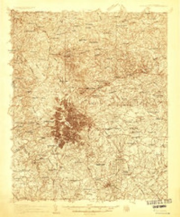
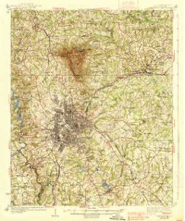
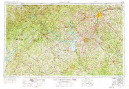
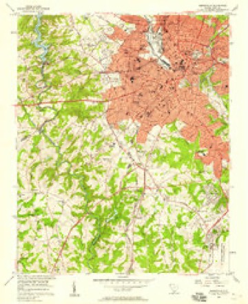
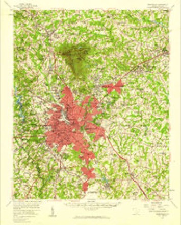
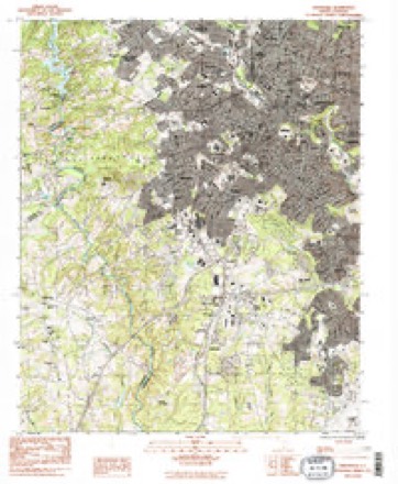
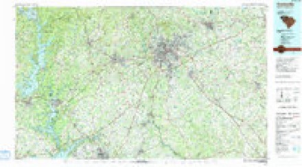
9 surveys from 14 printed sheetsMatched by testing this settlement's coordinate against the published boundary of every sheet in the United States Geological Survey's historical collection. Each opens the scanned sheet at the Survey.
- 1935 USGS Greenville quadrangle1:48000
- 1938 USGS Greenville quadrangle1:62500, 2 printings
- 1954 USGS Greenville quadrangle1:250000, 3 printings
- 1957 USGS Greenville quadrangle1:24000, 2 printings
- 1957 USGS Greenville quadrangle1:62500
- 1958 USGS Greenville quadrangle1:250000
- 1983 USGS Greenville quadrangle1:24000, 2 printings
- 1984 USGS Greenville quadrangle1:100000
- 1991 USGS Greenville quadrangle1:100000
Photographs
8 of 27 photographs shown, 1943 to 2017Taken for the Office of War Information and the Farm Security Administration, who photographed the country between 1935 and 1944. Works of United States government photographers, with no known restriction on use. Each opens its catalogue record.
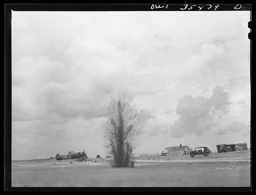
Delano, Jack, 1943. Library of Congress
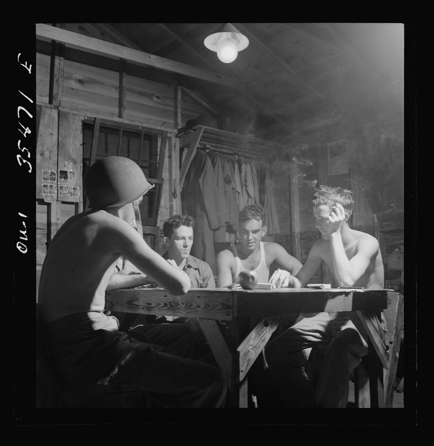
Delano, Jack, 1943. Library of Congress
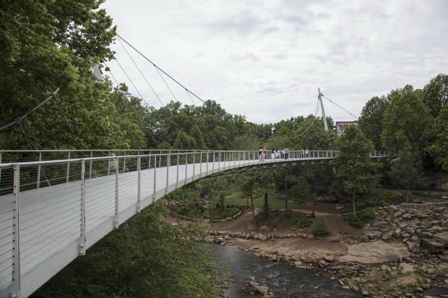
Highsmith, Carol M, 2017. Library of Congress
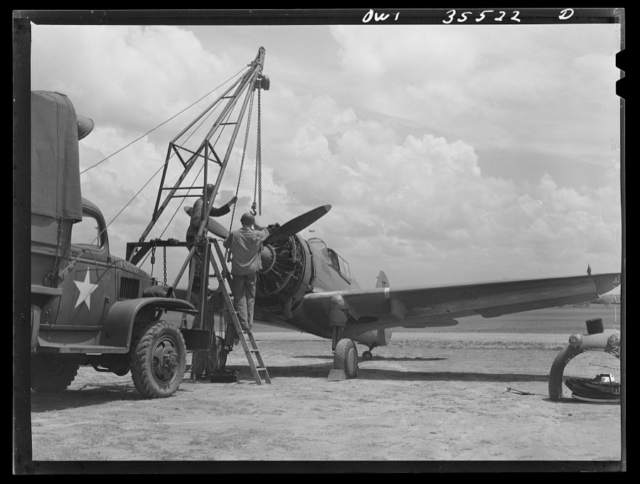
Delano, Jack, 1943. Library of Congress
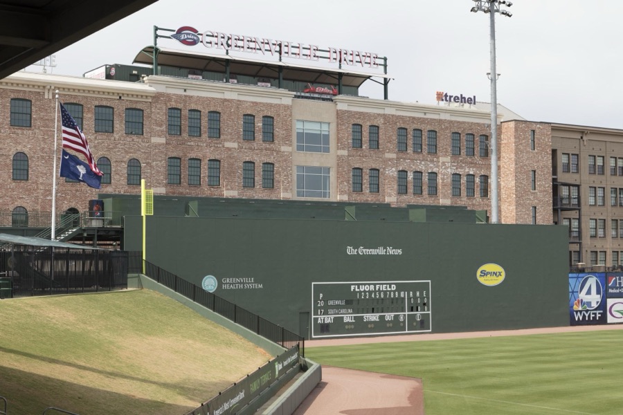
Highsmith, Carol M, 2017. Library of Congress
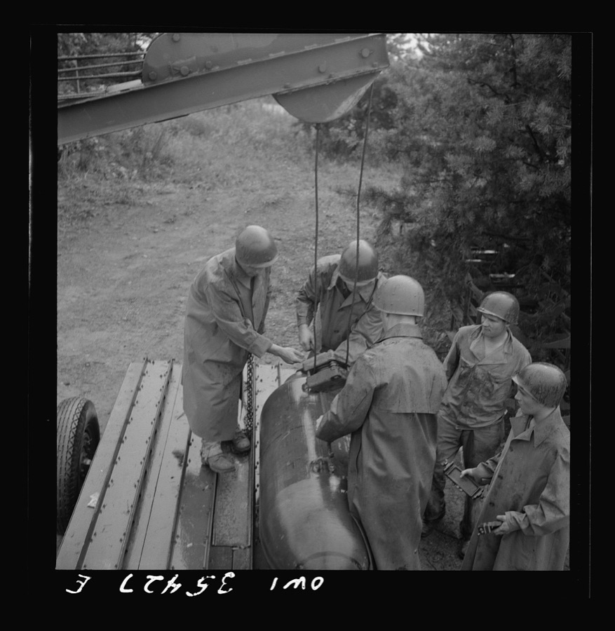
Delano, Jack, 1943. Library of Congress
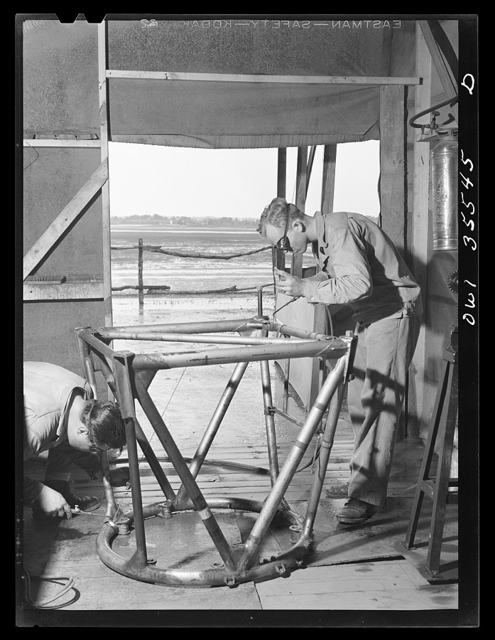
Delano, Jack, 1943. Library of Congress
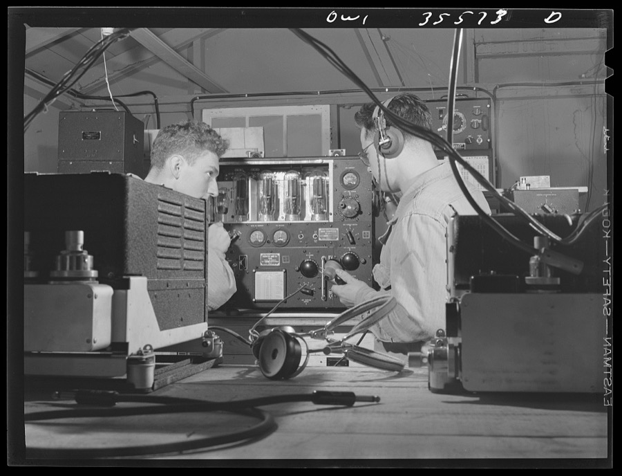
Delano, Jack, 1943. Library of Congress
Every photograph of Greenville County
Fires near this place
52 since 1992Regional context, not property-specific evidence. The federal wildfire occurrence database lists 52 fires within 5 miles of Greenville between 1992 and 2018, burning about 277 acres in total. None started naturally. 6 were recorded as arson. Distance is straight-line from the map coordinates, so a fire counted here may appear on a neighbouring settlement's page as well.
| Reported cause | Fires |
|---|---|
| Missing data/not specified/undetermined | 20 |
| Debris and open burning | 9 |
| Arson/incendiarism | 6 |
| Misuse of fire by a minor | 6 |
| Railroad operations and maintenance | 5 |
| Equipment and vehicle use | 3 |
| Recreation and ceremony | 2 |
| Smoking | 1 |
The most recent of them, most recent first, with the day each was reported and the service that recorded it.
| Date | Cause | Size | Reported by | Name on the report |
|---|---|---|---|---|
| 4 September 1999 | Missing data/not specified/undetermined | under an acre | South Carolina Forestry Commission | not named |
| 25 September 1999 | Missing data/not specified/undetermined | 7.0 acres | South Carolina Forestry Commission | not named |
| 23 September 2005 | Misuse of fire by a minor | under an acre | South Carolina Forestry Commission | not named |
| 19 September 1998 | Debris and open burning | 1.0 acres | South Carolina Forestry Commission | not named |
| 14 September 2009 | Railroad operations and maintenance | 2.0 acres | South Carolina Forestry Commission | not named |
| 20 July 2009 | Arson/incendiarism | 1.5 acres | South Carolina Forestry Commission | not named |
| 20 July 2008 | Missing data/not specified/undetermined | 20 acres | South Carolina Forestry Commission | not named |
| 15 July 2001 | Missing data/not specified/undetermined | under an acre | South Carolina Forestry Commission | not named |
Settlements close enough to share some of these fires:
Mines and quarries near this place
3 within 5 milesRegional context, not property-specific evidence. The federal mineral resources record lists 3 workings within 5 miles of Greenville: 1 prospect, 1 past producer, 1 producer. 1 still produces. What was taken out: Mica, Iron, Aluminum. Distance is straight-line from the map coordinates, so a quarry counted here may appear on a neighbouring settlement's page as well.
| Where | Site | Commodity | Status | Recorded |
|---|---|---|---|---|
| Edgcomb Steel--Greenville, S.C. | Iron, Aluminum | Producer | ||
| Boling Mine | Mica | Past Producer | ||
| R S Berry Prospect | Mica | Prospect |
Storms near this place
60 of 124 shownRegional context, not property-specific evidence. The National Weather Service names Greenville in 124 storm reports between 1993 and 2018: 52 thunderstorm wind, 36 hail, 25 flash flood, 4 heavy rain. The reports record 1 death and 2 injuries. Each account below is quoted exactly as the forecast office filed it, from the NOAA Storm Events Database, and each date opens the federal record of that event.
| When | Event | Place named | Harm | What the report says |
|---|---|---|---|---|
| August 2006 | Thunderstorm Wind | Greenville | 1 killed | A large oak tree was blown down at Roper Mountain Rd and Blacks Dr. The tree fell on a moving vehicle, killing the 39-year-old man who was driving. Another tree was blown down on I-385. |
| May 2003 | Hail | Greenville | 1 hurt | A person received a minor head injury when he was struck by wind driven hail. |
| July 1994 | Hail | Greenville | 1 hurt | Lightning struck man who went into yard to collect hail during a thunderstorm. |
| July 2004 | Flash Flood | Greenville | $3,500,000 | A thunderstorm developed over the headwaters of the Reedy River during the morning, then remained nearly stationary for several hours, producing rainfall of 4 to 9 inches in approximately 4 hours. This resulted in major flooding in areas from Berea to downtown Greenville. The Reedy River reached 19.2 feet in downtown Greenville, the second highest level on record. Several businesses along the river in downtown incurred major damage, as did numerous homes in the Berea and Sans Souci areas. At least 30 homes were condemned. Numerous roads and bridges were damaged or washed out. Hundreds of vehicles were damaged or destroyed. Flooding was much less severe on the east side of the metro area, although the Enoree River and several of its tributaries, including Brushy Creek, did overflow their banks. |
| June 2000 | Lightning | Greenville | $400,000 | no account filed |
| July 1997 | Flash Flood | Greenville | $100,000 | no account filed |
| June 2002 | Flash Flood | Greenville | $50,000 | Severe urban flooding developed quickly when more than 3 inches of rain fell in a short time. Clogged storm drains resulted in flooding of I-185, which was closed for 2 hours. Water was several feet deep along parts of the roadway. Water entered several homes and at least one store in nearby areas. |
| April 2005 | Thunderstorm Wind | Greenville | $25,000 | County reported numerous trees and power lines blown down, mainly from the north and east sides of Greenville to Taylors and Greer. At least 2 trees fell on houses and several fell on vehicles. A piece of sheet metal was peeled from the roof of a building on Trade St in downtown Greer. In addition, a 51 knot gust was measured at Donaldson Center at 2:51 PM EST. |
| September 1996 | Thunderstorm Wind | Greenville | $20,000 | no account filed |
| January 1996 | Thunderstorm Wind | Greenville | $15,000 | no account filed |
| July 1996 | Thunderstorm Wind | Greenville | $15,000 | no account filed |
| June 2002 | Thunderstorm Wind | Greenville | $10,000 | Powerlines were blown down near Memorial Hospital and along Augusta Road. Trees were also blown onto houses. |
| July 2002 | Thunderstorm Wind | Greenville | $10,000 | Trees and powerlines were blown down. At least one tree fell on a vehicle. |
| July 2002 | Thunderstorm Wind | Greenville | $10,000 | Numerous trees and large limbs were blown down across the city. At least one tree fell on a house. |
| August 2007 | Lightning | Greenville | $5,000 | Lightning struck a unit at an apartment complex, igniting a fire that damaged the attic area. |
| May 2003 | Thunderstorm Wind | Greenville | $3,000 | Numerous trees and power lines were blown down in areas from the east side of Greenville, to Taylors, to Greer. |
| April 2008 | Dust Devil | Greenville | $2,000 | A dust devil affected a residence on Emile St. on the west side of Greenville. Thirty feet of awning on their house and garage was torn off, several shingles were lifted, a dog house was destroyed and other items were thrown about the yard. |
| August 2004 | Thunderstorm Wind | Greenville | $2,000 | Trees were blown down in scattered locations throughout the city, particularly on the west side. One tree fell on an automobile. |
| May 2003 | Thunderstorm Wind | Greenville | $2,000 | Wind lifted and destroyed a tarp covering a baseball field. Trees and power lines were blown down in scattered locations from Mauldin to southeast Greenville. Some light structural damage also occurred. |
| June 2005 | Thunderstorm Wind | Greenville | $1,000 | Several trees and power lines blown down across the city. A power line fell on a car on Laurens Rd, trapping the driver inside for a while. Large limbs were blown onto a house on Arlington Ave near Anderson Rd, bending the gutters. |
| July 2003 | Thunderstorm Wind | Greenville | $1,000 | Two trees were blown down in the Leewood Rd area, including a 60 to 70 foot oak. One tree was blown onto a house. |
| February 2003 | Thunderstorm Wind | Greenville | $1,000 | Three lanes of the north end of Interstate 385 were blocked by fallen power lines. Two trees were blown down in the southern part of Greenville, while several large tree limbs were blown down throughout the city. |
| April 2000 | Thunderstorm Wind | Greenville | $1,000 | no account filed |
| June 2018 | Thunderstorm Wind | Greenville | - | NWS employee reported numerous large tree limbs blown down near Half Mile Lake. |
| September 2015 | Hail | Greenville | - | Public reported quarter size hail in Downtown Greenville. |
| May 2013 | Thunderstorm Wind | Greenville | - | A tree was blown down on Main Street in Greenville. |
| August 2012 | Thunderstorm Wind | Greenville | - | A tree was blown down at East North St and Haywood Rd. |
| June 2008 | Hail | Greenville | - | Reported by state park employee. |
| August 2008 | Hail | Greenville | - | Several reports of large hail ranging from quarter size to golf ball size were received from the west side of Greenville. |
| August 2007 | Thunderstorm Wind | Greenville | - | A wind gust of 59 mph was recorded at Greenville Downtown Airport. A tree fell across I-385 near the Stone Ave intersection. Trees and power lines were blown down on Rutherford Rd. Also, a tree was split and large limbs downed along Devenger Rd with several trees blown down at a golf course in this same area. |
| January 2007 | Thunderstorm Wind | Greenville | - | A tree was blown down on Rison Rd off highway 123 and another at I-185 and Frontage Rd. Also, a tree was blown down at Old Laurens Rd and Dalewood Rd. |
| March 2007 | Flood | Greenville | - | Flooding in Greenville County included the Reedy River near Greenville, the Enoree River near Taylors, and the Middle Tyger River north of Greer. |
| June 2007 | Thunderstorm Wind | Greenville | - | A 69 mph gust was measured at the Greenville downtown airport. Several trees and large limbs were blown down in the Haywood Mall area. Scattered damage to trees and limbs was also reported from the Haywood Mall area to the Hudsons corner area. |
| June 2007 | Hail | Greenville | - | Pea to quarter size hail reported throughout southern and eastern sections of Greater Greenville. |
| July 2007 | Thunderstorm Wind | Greenville | - | A traffic light was blown down on Pleasantburg Dr. Part of a large tree was blown onto an automobile at Pelham Rd and the Parkway. Also, |quite a few trees and power lines were blown down around the county. |
| July 2006 | Thunderstorm Wind | Greenville | - | A microburst impacted the area near the intersection of Pelham Rd and I-85. The siding was stripped off a hotel. Also, an awning was torn off a television studio building and a mobile sign was blown over. Also, windows were blown out of a home near this location. |
| August 2006 | Hail | Greenville | - | Pea to nickel size hail near the intersection of Mauldin Rd and I-85. |
| July 2006 | Heavy Rain | Greenville | - | Very heavy rain from a thunderstorm caused some flooding of typical poor drainage areas in Greenville. Several intersections were closed on the east and south side of the city, including a couple of spots on Laurens Rd. High water developed on other roads in the city, including on Pleasantburg Dr, where a woman was rescued from her automobile after driving into high water. At least 1 car stalled out in high water on Laurens Rd. Debris-clogged drains played a major role in the flooding. |
| June 2006 | Flash Flood | Greenville | - | Flash flooding on Brushy Creek, along with severe urban flooding, prompted closure of several roads, including the bridge over Boiling Springs Rd, Devenger Rd, and Lake Fairfield Dr. The worst flooding was on Lake Fairfield Dr, where water entered at least 2 homes. |
| March 2005 | Flash Flood | Greenville | - | After an evening of moderate to occasionally heavy rain, increasing thunderstorm activity during the late evening and early morning hours led to rapid rises on creeks and small streams, especially around the city. Flash flooding developed on the Reedy River in downtown Greenville, as well as on Brushy and Gilder Creeks. |
| April 2005 | Hail | Greenville | - | Public report on highway 253 between North Greenville College and Greenville. |
| June 2005 | Hail | Greenville | - | Reported on highway 14. |
| June 2005 | Hail | Greenville | - | Reported at Paris Mountain. |
| June 2005 | Flash Flood | Greenville | - | A creek backed up into a yard north of Greer. Gages indicated Brushy Creek flooded at Del Norte, and the Reedy River flooded downtown. Additionally, Gilder Creek was observed in flood at its lower end. |
| May 2005 | Flash Flood | Greenville | - | The Reedy River in downtown Greenville flooded. Also, Edwards Rd flooded in Taylors. |
| June 2005 | Hail | Greenville | - | Reported along Saluda Dam Rd. |
| July 2005 | Hail | Greenville | - | Hail reported near the intersection of Pleasantburg and Wade Hampton Rd. |
| July 2005 | Thunderstorm Wind | Greenville | - | Eight inch daimater trees snapped off in the Travelers Rest and Tigerville area around 5:15. Spotter reported large trees down in the Pebble Creek area near Taylors around 5:30. |
| August 2005 | Thunderstorm Wind | Greenville | - | Report of 7 to 10 trees blown down on Duke St. |
| July 2005 | Thunderstorm Wind | Greenville | - | Non-specific report of damage and trees down on Chapman Rd off Augusta Rd in Pelzer. |
| August 2004 | Heavy Rain | Greenville | - | Heavy rainfall caused Brushy Creek to overflow its banks. Urban flooding developed in the middle of Greenville, with several automobiles stalling in high water near downtown. |
| July 2004 | Hail | Greenville | - | Hail was reported on Whitehorse Rd. |
| July 2004 | Heavy Rain | Greenville | - | Parts of Laurens Rd were covered with water. |
| July 2004 | Heavy Rain | Greenville | - | Heavy rainfall caused some street flooding to develop in areas from Greenville, to Taylors, to Greer. |
| July 2004 | Thunderstorm Wind | Greenville | - | Several trees were blown down across the city. Scattered power outages also occurred. |
| July 2004 | Thunderstorm Wind | Greenville | - | Some power lines were blown down near Pleasant Ridge Park. |
| July 2004 | Flash Flood | Greenville | - | For the second consecutive night, heavy rainfall produced by strong thunderstorms produced severe urban flooding in Greenville. Several vehicles were once again stalled or stranded in high water. The Reedy River flooded again near downtown. In addition, some creeks flooded on the northwest side of the city, in the Brandon area. |
| July 2004 | Flash Flood | Greenville | - | Very heavy rainfall produced severe flooding of poor drainage areas in Greenville and Taylors. Vehicles were stranded in high water, and several roads and intersections were closed. In addition, the Reedy River and Brushy Creek flooded in spots. |
| July 2004 | Hail | Greenville | - | Hail was reported on Mills Ave. |
| July 2003 | Flash Flood | Greenville | - | The Reedy River rose rapidly and flooded portions of downtown Greenville. Concrete benches were swept away and a stage destroyed in Cleveland Park. Numerous roads around the city were closed, and several vehicles were trapped in high water. Water entered homes in Greenville, as well as in Berea and Sans Souci. Gilder Creek flooded on the east side of Greenville. Several roads were closed in Taylors and Greer, and as far north as Tigerville. Particularly hard hit was the area near the intersection of Greenville, Taylors, and Greer, where water entered a nursing home up to its second home, and several major roads were closed or covered with water, including Riley Smith, Poinsett Highway, Wade Hampton Bvd, and Old Spartanburg Rd. |
Newspapers printed here
68,693 digitised pages2 papers published in this town, digitised by the Library of Congress and free to read: 7,337 issues, 68,693 pages. Every page is searchable, so a name or a street can be looked for directly in what the town printed about itself at the time.
| Newspaper | Published |
|---|---|
| The Southern Enterprise | 1854 to 1870 |
| The Greenville Enterprise | 1870 to 1873 |
What the paper printed
16,461 wordsFront pages of the local paper, read from the Library of Congress scans: 9 issues spread across its run from 1854 to 1870, 16,461 words in total. Each is reproduced on its own page, exactly as the recogniser returned it.
These pages read less well than anything else here, and the number is worth stating: about three words in four come through cleanly, against nine in ten for the building records. An 1896 broadsheet sets eight-point type in seven columns on microfilm, which is the hardest thing in this archive to read by machine. We tested our own recognisers against the Library's and they were not better, so the Library's text is what appears, with the wholly unreadable columns removed. Read it as a guide to what the paper covered, and follow the link to the scan before quoting anything.
| Issue | Paper | Length |
|---|---|---|
| 1870-03-30 | The Greenville Enterprise | 1,380 words |
| 1870-06-08 | The Greenville Enterprise | 1,874 words |
| 1870-08-10 | The Greenville Enterprise | 1,891 words |
| 1870-11-09 | The Greenville Enterprise | 1,685 words |
| 1854-05-19 | The Southern Enterprise | 644 words |
| 1854-07-14 | The Southern Enterprise | 2,019 words |
| 1854-09-01 | The Southern Enterprise | 2,245 words |
| 1854-10-27 | The Southern Enterprise | 2,444 words |
| 1854-12-15 | The Southern Enterprise | 2,279 words |
Nearest settlements
The eight closest, with where each one stands in the county. Distances are straight-line, computed from the Geographic Names Information System coordinates.
| Map | Place | Distance | Sheets |
|---|---|---|---|
| Boyce Lawn | 0.3 miles | 14 | |
| North Hills | 0.8 miles | 14 | |
| University Ridge Homes | 0.9 miles | 14 | |
| Cleveland Forest | 0.9 miles | 14 | |
| Overbrook | 1.0 miles | 14 | |
| Carver Park | 1.0 miles | 14 | |
| Roosevelt Heights | 1.1 miles | 14 | |
| Elleston Acres | 1.1 miles | 12 |
Elsewhere
Matched on this settlement's Geographic Names Information System number rather than its name, so it cannot be a different place of the same name in another state.
| Wikipedia article on Greenville | An encyclopaedic summary. Its text is share-alike, so it is linked here rather than copied. |
| Wikidata item Q574192 | The structured record the population and elevation above come from. Public domain (CC0). |
Provenance
This settlement is recorded in the Geographic Names Information System as feature 1245842. The sheet list is computed by point-in-boundary test against the United States Geological Survey's historical topographic inventory. Both are works of the United States government and carry no copyright under 17 U.S.C. 105.
Wildfire. Short, Karen C. 2022. Spatial wildfire occurrence data for the United States, 1992-2020 [FPA_FOD_20221014]. 6th Edition. Fort Collins, CO: Forest Service Research Data Archive. https://doi.org/10.2737/RDS-2013-0009.6 Collected with United States Government funding and usable without additional permissions or fees.
Mines and quarries. USGS Mineral Resources Data System (MRDS) https://mrdata.usgs.gov/mrds/ A work of the United States government, no copyright under 17 U.S.C. 105.
Storms. NOAA National Centers for Environmental Information, Storm Events Database https://www.ncei.noaa.gov/stormevents/ A work of the United States government, no copyright under 17 U.S.C. 105. Narratives are quoted verbatim from the National Weather Service report and are not edited or summarised.