 Block
Harris, South Carolina
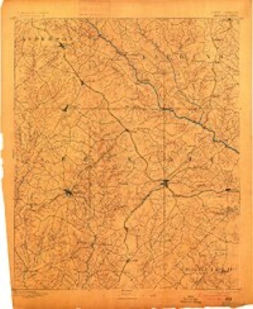
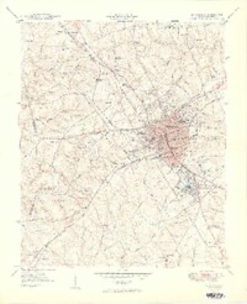
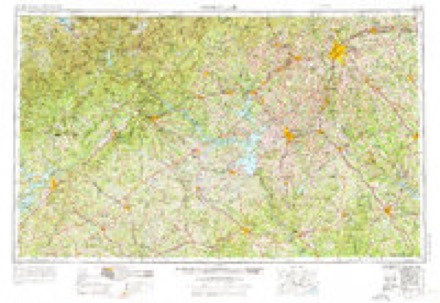
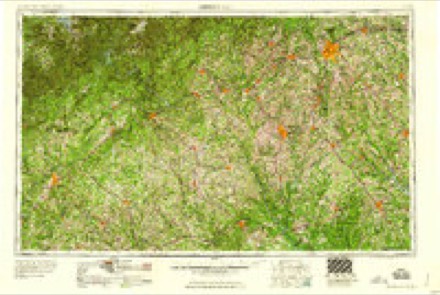
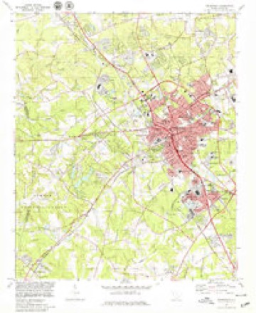
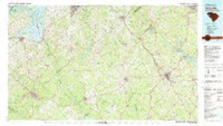
15 topographic sheets cover this place, the earliest surveyed in 1892 and the latest in 1979. It stands in the Greenwood census division. It lies in ZIP code area 29649. The Survey maps it on the Greenwood quadrangle.
Topographic sheets covering this place
6 surveys from 15 printed sheetsMatched by testing this settlement's coordinate against the published boundary of every sheet in the United States Geological Survey's historical collection. Each opens the scanned sheet at the Survey.
- 1892 USGS Abbeville quadrangle1:125000, 6 printings
- 1949 USGS Greenwood quadrangle1:24000, 2 printings
- 1954 USGS Greenville quadrangle1:250000, 3 printings
- 1958 USGS Greenville quadrangle1:250000
- 1978 USGS Greenwood quadrangle1:24000
- 1979 USGS Abbeville quadrangle1:100000, 2 printings
Fires near this place
270 since 1992Regional context, not property-specific evidence. The federal wildfire occurrence database lists 270 fires within 5 miles of Harris between 1992 and 2019, burning about 545 acres in total. 2 started naturally. 7 were recorded as arson. Distance is straight-line from the map coordinates, so a fire counted here may appear on a neighbouring settlement's page as well.
| Reported cause | Fires |
|---|---|
| Missing data/not specified/undetermined | 172 |
| Debris and open burning | 44 |
| Misuse of fire by a minor | 17 |
| Equipment and vehicle use | 14 |
| Smoking | 8 |
| Arson/incendiarism | 7 |
| Railroad operations and maintenance | 3 |
| Other causes | 2 |
| Natural | 2 |
| Power generation/transmission/distribution | 1 |
The most recent of them, most recent first, with the day each was reported and the service that recorded it.
| Date | Cause | Size | Reported by | Name on the report |
|---|---|---|---|---|
| 7 September 2019 | Debris and open burning | under an acre | South Carolina Forestry Commission | not named |
| 6 September 1999 | Debris and open burning | under an acre | South Carolina Forestry Commission | not named |
| 6 September 1999 | Equipment and vehicle use | 1.0 acres | South Carolina Forestry Commission | not named |
| 4 September 1995 | Missing data/not specified/undetermined | under an acre | South Carolina Forestry Commission | not named |
| 30 September 2003 | Equipment and vehicle use | 1.0 acres | South Carolina Forestry Commission | not named |
| 18 September 1995 | Missing data/not specified/undetermined | under an acre | South Carolina Forestry Commission | not named |
| 17 September 1999 | Debris and open burning | under an acre | South Carolina Forestry Commission | not named |
| 17 September 1999 | Debris and open burning | 2.0 acres | South Carolina Forestry Commission | not named |
Settlements close enough to share some of these fires:
Mines and quarries near this place
2 within 5 milesRegional context, not property-specific evidence. The federal mineral resources record lists 2 workings within 5 miles of Harris: 1 unknown, 1 prospect. None of them still produces. What was taken out: Stone, Dimension, Aluminum, Kaolin. Distance is straight-line from the map coordinates, so a quarry counted here may appear on a neighbouring settlement's page as well.
| Where | Site | Commodity | Status | Recorded |
|---|---|---|---|---|
| Benjamin Granite Quarry | Stone, Dimension | Unknown | Igneous | |
| Mrs. Mary Robinson Property | Aluminum, Kaolin | Prospect |
Storms near this place
9 since 2009Regional context, not property-specific evidence. The National Weather Service names Harris in 9 storm reports between 2009 and 2023: 5 tornado, 2 thunderstorm wind, 1 flash flood, 1 flood. No death or injury is recorded in these reports. Each account below is quoted exactly as the forecast office filed it, from the NOAA Storm Events Database, and each date opens the federal record of that event.
| When | Event | Place named | Harm | What the report says |
|---|---|---|---|---|
| January 2023 | Tornado (EF1) | Harris | $200,000 | NWS storm survey found the path of an EF1 tornado that began near the intersection of Deadfall Rd and North Acres Rd where scattered large trees were uprooted or snapped. The tornado then intensified as it moved east/ northeast, paralleling Deadfall Rd crossing Cokesbury Rd, where numerous large trees were uprooted or snapped, with some trees down on homes. Extensive damage to two houses were found in this area. The tornado weakened as it approached Green Oaks Rd, with additional tree damage before the path was lost in an inaccessible area on the west side of the Greenwood County Airport. However, an official measured wind gust of 75 mph at the airport was assumed to be associated with the remnant circulation. No additional damage was found downstream of the airport. |
| April 2009 | Tornado (EF1) | Harris | $200,000 | NWS survey identified a tornado path that began near the intersection of Hunters Creek Bvd and Woodlawn Rd. The tornado continued east/southeast across the south side of Greenwood, uprooting or snapping off numerous trees along the path. The hardest hit area was around Edgefield St, where numerous trees were damaged. Some trees fell on and seriously damaged homes. Other homes received significant roof damage. |
| May 2021 | Tornado (EF1) | Harris | $40,000 | NWS storm survey determined the path of an EF2 tornado that tracked almost the length of Abbeville County moved into Greenwood County with EF1 intensity at Johns Creek Rd. The tornado moved almost due east, crossing Deadfall Rd West, Calhoun Rd just west of Highway 25 before finally lifting near Highway 25 along the northern outskirts of the city of Greenwood. Damage was primarily limited to uprooted hardwoods and snapped softwoods in Greenwood County, although a couple of storage buildings received minor to moderate damage. The total path length of over 29 miles made this the longest tornado track in upstate South Carolina since 1994. |
| June 2015 | Flash Flood | Harris | $15,000 | County comms and the public reported severe urban and small stream flash flooding developed in Greenwood after 2 to 3 inches of rain fell in less than two hours. The bridge over Sample Branch on Dry Branch Ct was flooded. Sweetwater Rd was covered with water when Brightmans Creek overflowed its banks. Urban flooding was reported on the Highway 72 Bypass and in a couple of spots on Main St S. In addition to the flooding, the heavy rain caused about a dozen trees to fall throughout the city, with one tree falling on a vehicle and another on a home. |
| November 2015 | Flood | Harris | $1,000 | After more than 4 inches of rain fell in about a 36-hour period, with much of that falling on the morning of the 2nd, county comms reported multiple roads closed across western Greenwood County due to poor drainage problems, and perhaps due to stream flooding. Closed roads included Ross Rd in Hodges, WE Smith Rd, Dendy Bridge Rd in Bradley, and Watson St in Greenwood. |
| August 2022 | Thunderstorm Wind | Harris | - | County comms reported numerous trees blown down across the city of Greenwood. |
| January 2020 | Tornado (EF0) | Harris | - | NWS storm survey reported the path of a weak tornado that moved into Greenwood County from Abbeville County in the area around Mill Rd. Damage was mainly limited to uprooting of large pine trees and snapping of smaller pines. |
| January 2020 | Tornado (EF0) | Harris | - | NWS storm survey reported the path of a weak tornado that moved into Greenwood County from Abbeville County in the area around Mill Rd. Damage was mainly limited to uprooting of large pine trees and snapping of smaller pines. |
| December 2009 | Thunderstorm Wind | Harris | - | A couple trees were blown down along Center St on the northwest side of Greenwood. |
Nearest settlements
The eight closest, with where each one stands in the county. Distances are straight-line, computed from the Geographic Names Information System coordinates.
| Map | Place | Distance | Sheets |
|---|---|---|---|
| Cothran (historical) | 0.3 miles | 15 | |
| Blakedale | 0.6 miles | 15 | |
| Forest Lake | 0.7 miles | 15 | |
| Lakewood Heights | 0.8 miles | 15 | |
| Locksley Hall | 0.9 miles | 15 | |
| Edgemere | 1.0 miles | 15 | |
| Druid Hills | 1.1 miles | 15 | |
| Ponderosa Heights | 1.2 miles | 15 |
Provenance
This settlement is recorded in the Geographic Names Information System as feature 1229778. The sheet list is computed by point-in-boundary test against the United States Geological Survey's historical topographic inventory. Both are works of the United States government and carry no copyright under 17 U.S.C. 105.
Wildfire. Short, Karen C. 2022. Spatial wildfire occurrence data for the United States, 1992-2020 [FPA_FOD_20221014]. 6th Edition. Fort Collins, CO: Forest Service Research Data Archive. https://doi.org/10.2737/RDS-2013-0009.6 Collected with United States Government funding and usable without additional permissions or fees.
Mines and quarries. USGS Mineral Resources Data System (MRDS) https://mrdata.usgs.gov/mrds/ A work of the United States government, no copyright under 17 U.S.C. 105.
Storms. NOAA National Centers for Environmental Information, Storm Events Database https://www.ncei.noaa.gov/stormevents/ A work of the United States government, no copyright under 17 U.S.C. 105. Narratives are quoted verbatim from the National Weather Service report and are not edited or summarised.