 Block
From the record
22 National Register listings published here, 1 of them a National Historic Landmark.
Sources: the National Register database, National Park Service
59 topographic sheets and 19 fire insurance atlases across 2 places.
22 National Register listings published here, 1 of them a National Historic Landmark.
Sources: the National Register database, National Park Service
Taken for the Office of War Information and the Farm Security Administration, who photographed the country between 1935 and 1944. Works of United States government photographers, with no known restriction on use. Each opens its catalogue record.
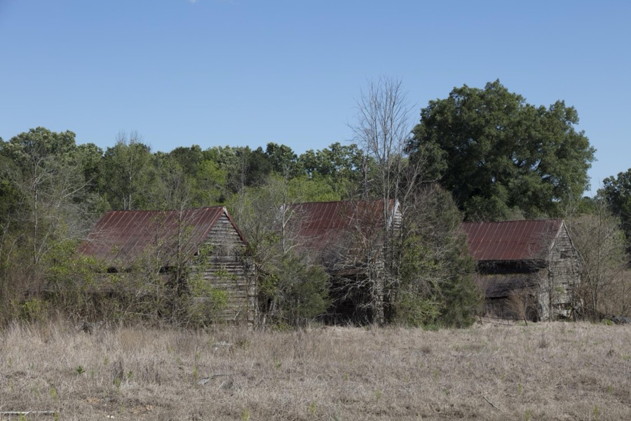
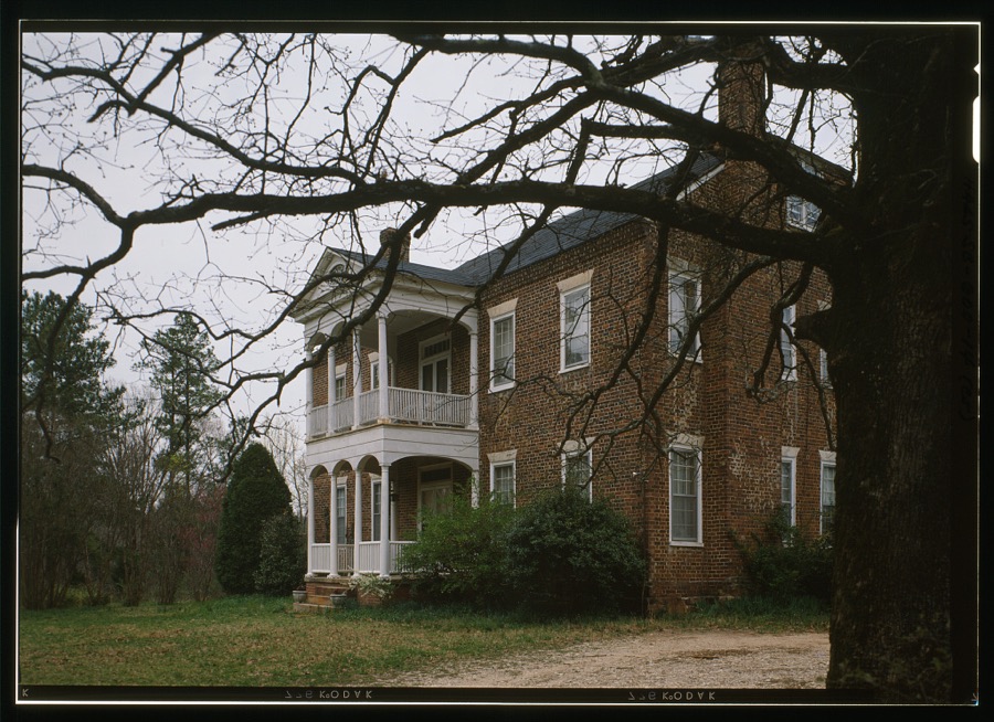
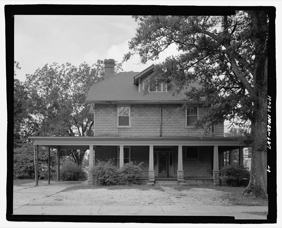
Every property in this county listed on the National Register of Historic Places, with the year it was listed and the federal nomination document.
| Photograph | Property | Type | Listed | Reference |
|---|---|---|---|---|
 | Barratt House | building | 1985 | 85002382 |
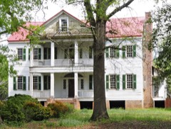 | J. Wesley Brooks House | building | 1973 | 73001712 |
| Edgewood School | building | 2024 | 100011212 | |
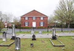 | Greenville Presbyterian Church | building | 1998 | 98000561 |
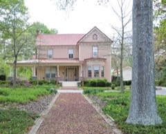 | Kinard House | building | 2007 | 07000119 |
 | Lander College Old Main Building | building | 1984 | 84002046 |
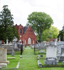 | Magnolia Cemetery | site | 2004 | 04000590 |
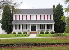 | Moore-Kinard House | building | 1983 | 83002198 |
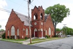 | Mt. Pisgah A.M.E. Church | building | 1979 | 79002384 |
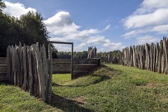 | Ninety Six National Historic Site | district | 1969 | 69000169 |
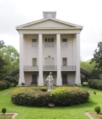 | Old Cokesbury and Masonic Female College and Conference School | district | 1970 | 70000589 |
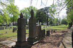 | Old Greenwood Cemetery | site | 2002 | 02000115 |
 | Old Greenwood High School | building | 1985 | 85003120 |
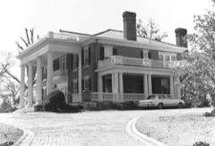 | James C. Self House | building | 1987 | 87002064 |
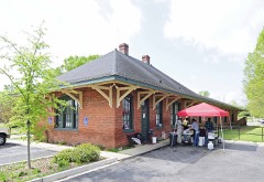 | Southern Railway Depot | building | 2011 | 11000731 |
| State Theatre | building | 2024 | 100010398 | |
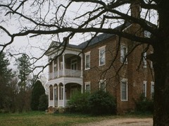 | Stony Point | building | 1975 | 75001700 |
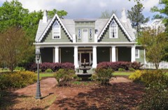 | Sunnyside | building | 1978 | 78002515 |
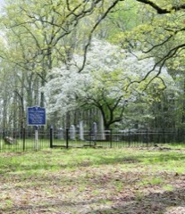 | Tabernacle Cemetery | site | 2008 | 08000736 |
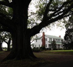 | The Oaks | building | 2010 | 10001040 |
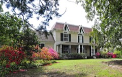 | Vance-Maxwell House | building | 1982 | 82003866 |
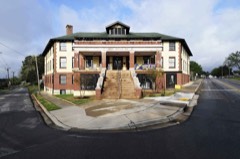 | Ware Shoals Inn | building | 2007 | 07001130 |
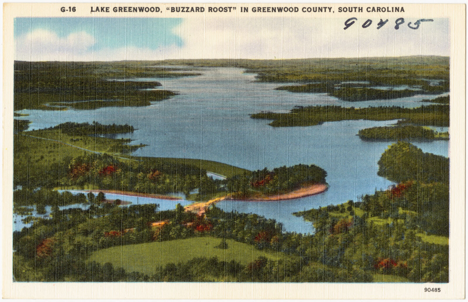
Selected from the Digital Public Library of America's 4 image records catalogued for this county. Every one shown here carries a public-domain status or a licence that permits reuse on a site that carries advertising; non-commercial, share-alike and restricted images are excluded. The selection is spread across the county's towns (at most eight per town), so no single institution's bulk upload crowds out the rest. Each opens the holding library's record, and the complete set at the Digital Public Library of America is one click away.
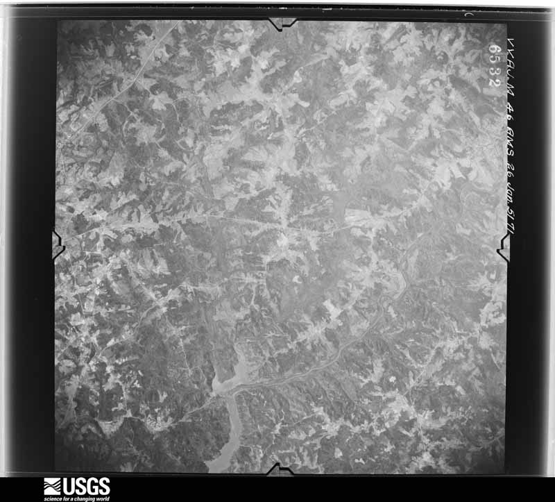
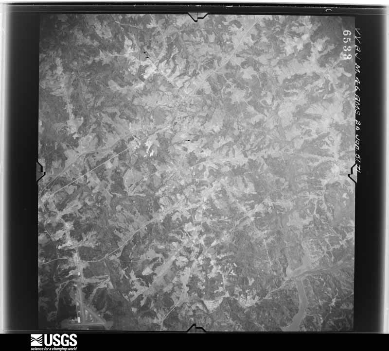
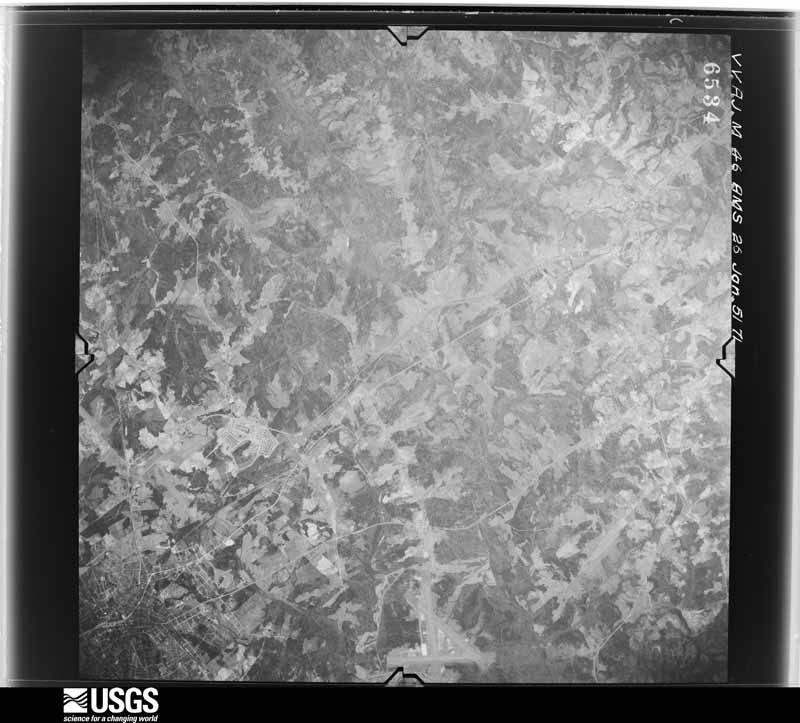
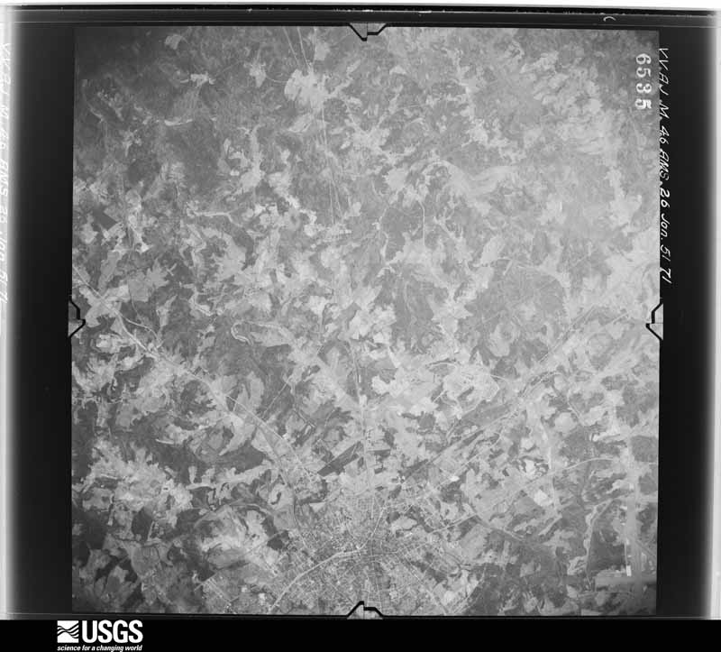
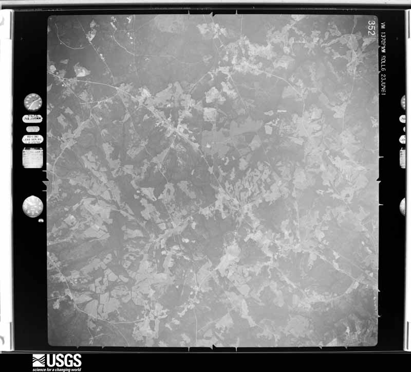
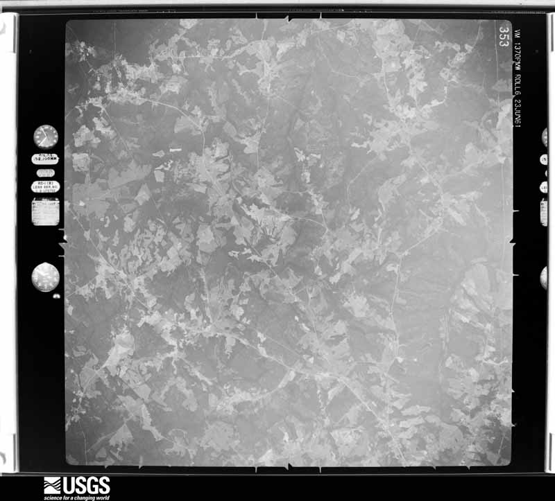
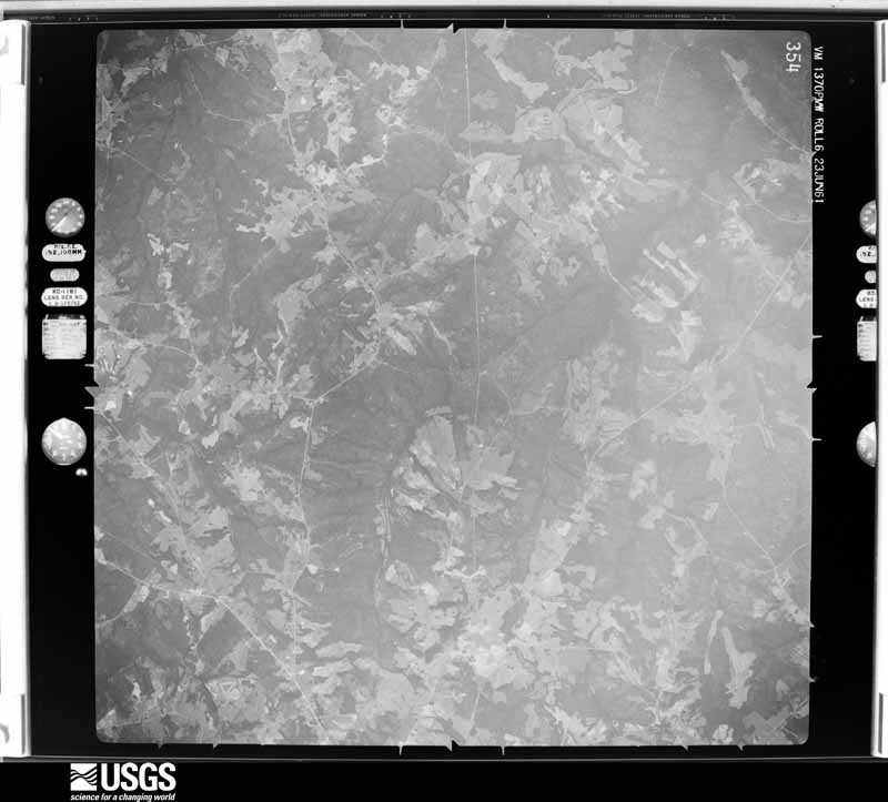
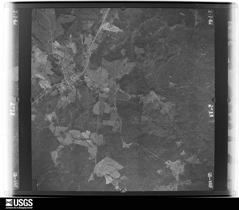
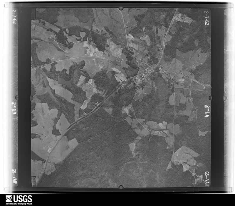
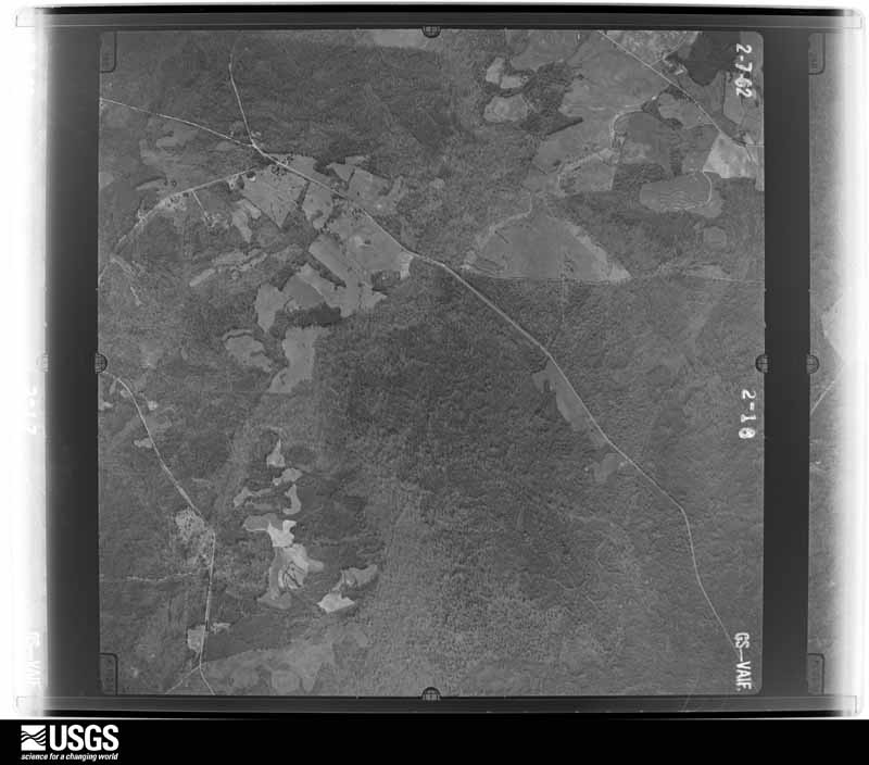
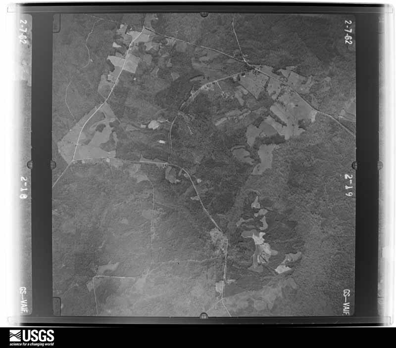
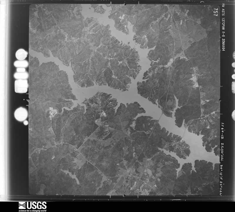
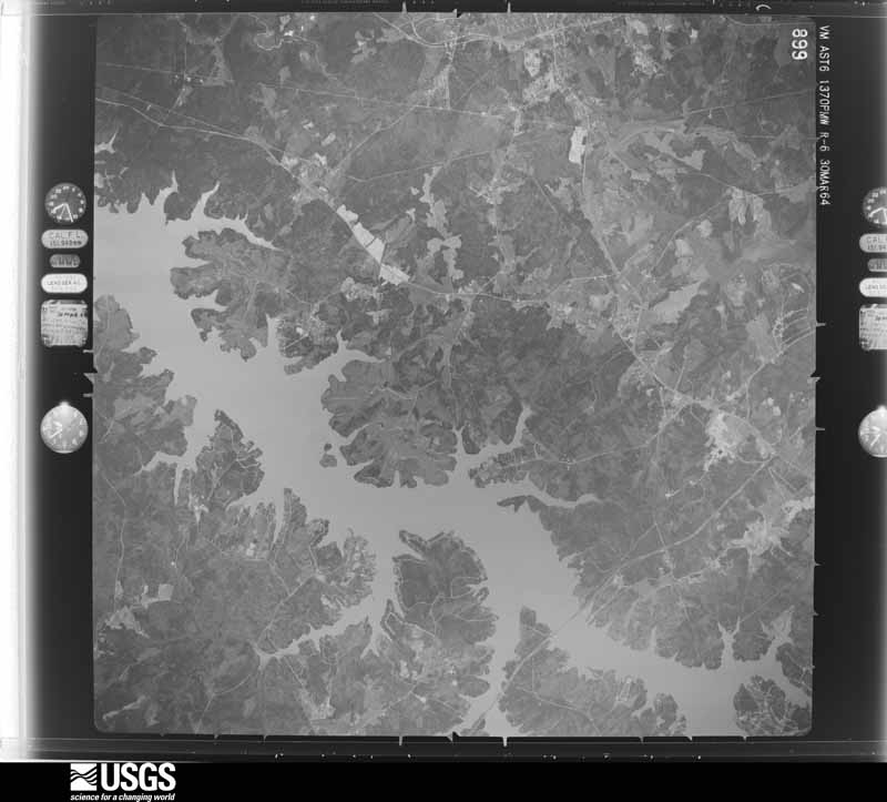
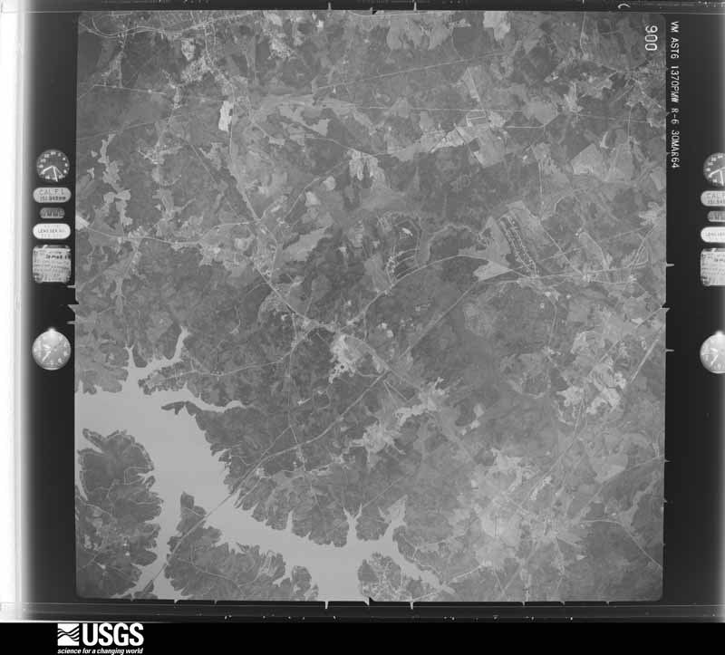
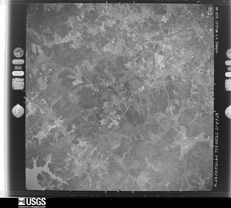
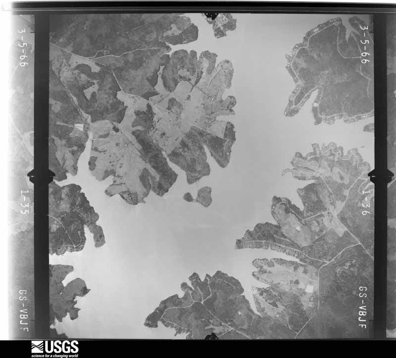
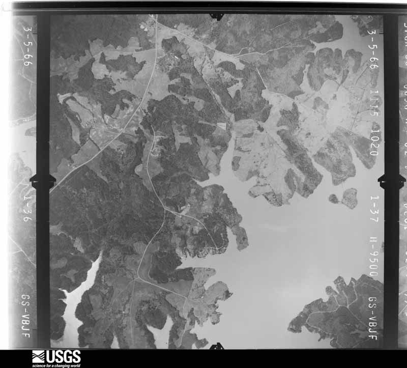
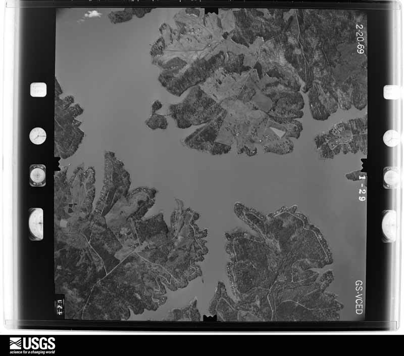
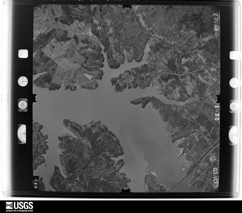
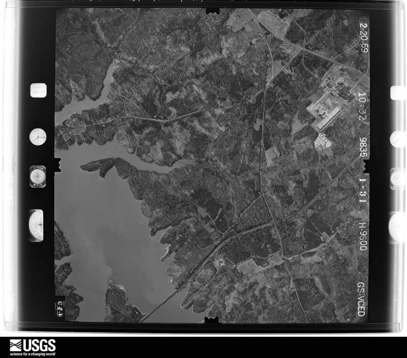
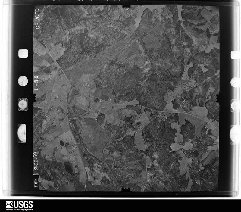
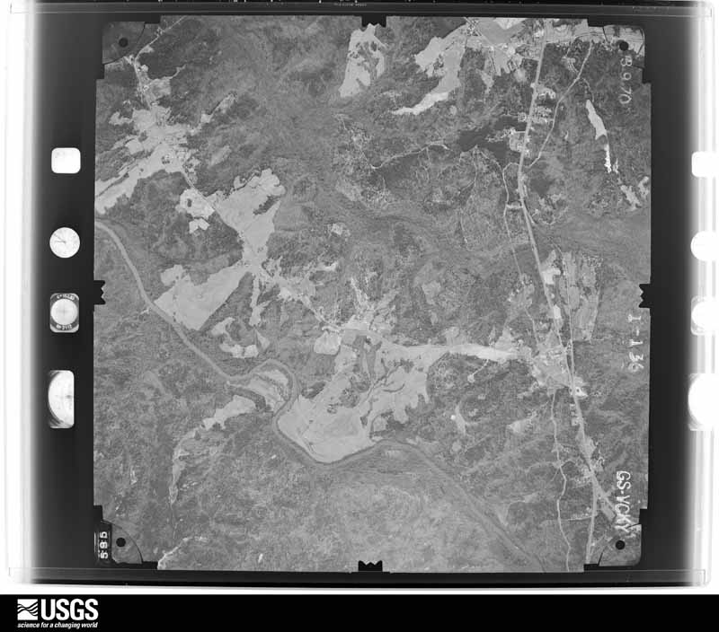
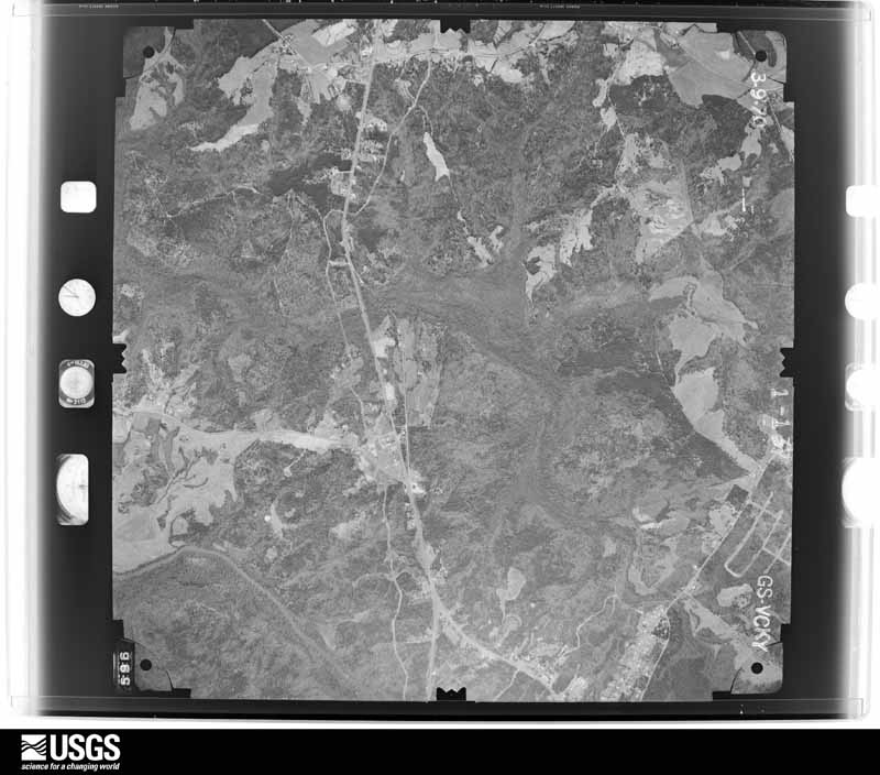
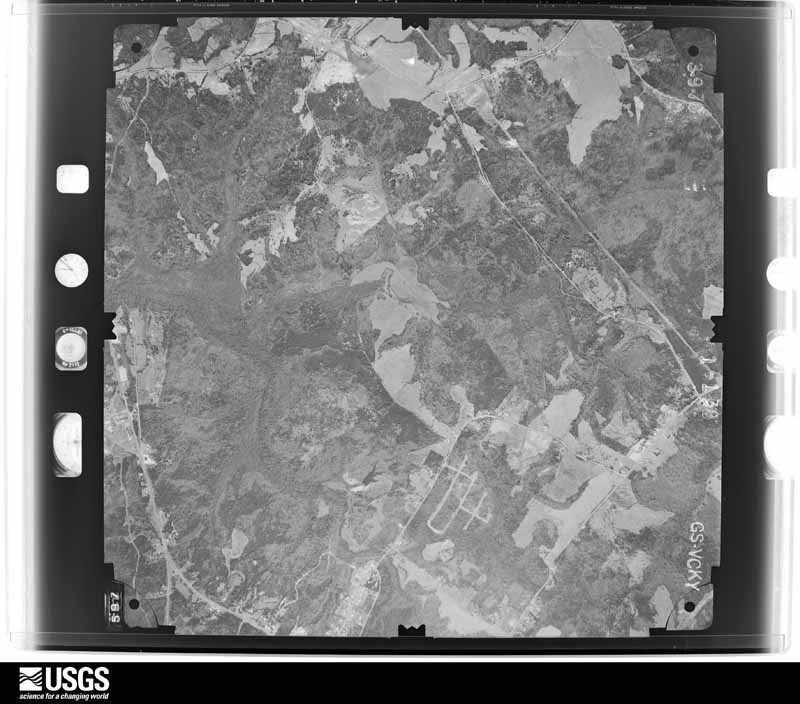
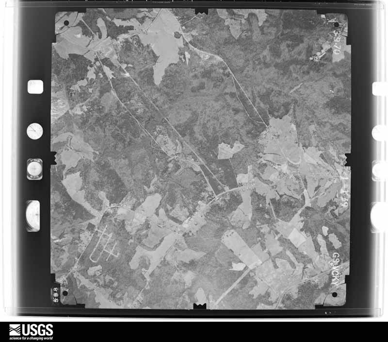
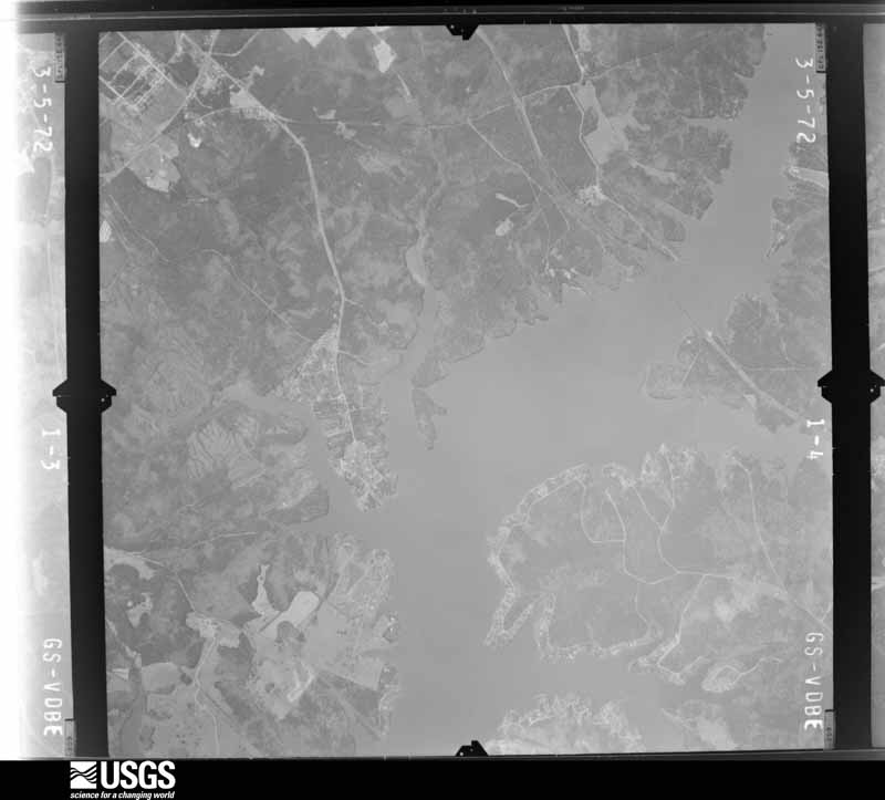
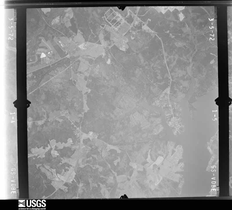
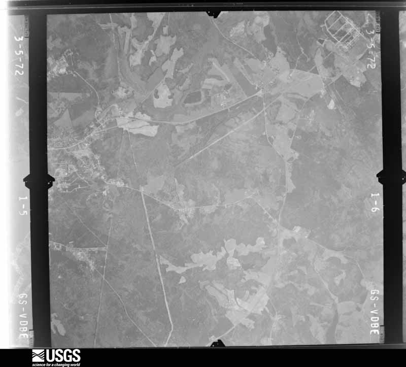
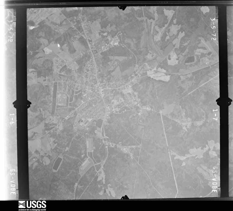
Flown by the U.S. Geological Survey between 1937 and 1989, the Aerial Photo Single Frames collection is the definitive mid-century view of the land: fields, roads and rivers as the camera saw them. The Survey holds 969 frames inside the rectangle that bounds this county; the 30 frames below were taken over the county itself, chosen across the decades of flights (at most four a year from that rectangle), so one flight cannot crowd out the rest. The full set is free to browse and download at EarthExplorer under the dataset Aerial Photo Single Frames.

The thermometers that kept this county's weather, and the gages that measured the flow of its streams, as the federal records hold them. The extremes below are measured values from those records, not estimates.
Who lived here in 1950, one enumeration district at a time, as the Census Bureau described each district. Each row opens its official National Archives result, with Population Schedules and ED Maps available there.
Every wildfire the federal occurrence database records inside this county: 1,036 of them, burning about 3,294 acres. 24 started naturally and 55 were recorded as arson. Each settlement page carries the fires within five miles of it.
| Reported cause | Fires |
|---|---|
| Missing data/not specified/undetermined | 551 |
| Debris and open burning | 231 |
| Equipment and vehicle use | 64 |
| Arson/incendiarism | 55 |
| Misuse of fire by a minor | 44 |
| Smoking | 31 |
| Natural | 24 |
| Railroad operations and maintenance | 23 |
| Power generation/transmission/distribution | 7 |
| Other causes | 4 |
| Fireworks | 1 |
| Recreation and ceremony | 1 |
The five largest, by the area the report gives. None of them was recorded as arson.
| Date | Cause | Size | Reported by | Name on the report |
|---|---|---|---|---|
| 8 March 1994 | Railroad operations and maintenance | 190 acres | Francis Marion & Sumter National Forests | not named |
| 16 September 1999 | Debris and open burning | 105 acres | Francis Marion & Sumter National Forests | CRESWELL |
| 16 September 1999 | Debris and open burning | 100 acres | South Carolina Forestry Commission | not named |
| 18 March 2018 | Natural | 85 acres | South Carolina Forestry Commission | not named |
| 7 June 2002 | Natural | 80 acres | South Carolina Forestry Commission | not named |
| 20 July 2006 | Natural | 71 acres | South Carolina Forestry Commission | not named |
| 1 October 2009 | Missing data/not specified/undetermined | 62 acres | South Carolina Forestry Commission | not named |
| 16 September 1999 | Debris and open burning | 60 acres | South Carolina Forestry Commission | not named |
Every settlement page carries the fires within five miles of it - see the settlement index below.
The NOAA Storm Events Database holds 417 reports for this county, causing 2 deaths, 31 injuries and about $20,341,000 in recorded property damage. Each settlement page carries the reports that name it.
| Kind of event | Reports |
|---|---|
| Thunderstorm Wind | 252 |
| Hail | 110 |
| Tornado | 20 |
| Flash Flood | 14 |
| Lightning | 10 |
| Flood | 7 |
| Heavy Rain | 3 |
| Strong Wind | 1 |
The most serious of them, by death, then injury, then recorded damage. The accounts are quoted exactly as the forecast office filed them.
| When | Event | Place named | Harm | What the report says |
|---|---|---|---|---|
| December 1973 | Tornado (F4) | not stated | 2 killed, $2,500,000 | no account filed |
| December 1973 | Tornado (F3) | not stated | 26 hurt, $2,500,000 | no account filed |
| December 1973 | Tornado (F3) | not stated | 2 hurt, $2,500,000 | no account filed |
| November 1989 | Tornado (F2) | not stated | 1 hurt, $250,000 | no account filed |
| June 2001 | Lightning | Greenwood | 1 hurt | Lightning struck one person at Lake Greenwood State Park. The victim was taken to the hospital, where he eventually recovered. |
| July 1998 | Thunderstorm Wind | Ware Shoals | 1 hurt | no account filed |
| April 1993 | Tornado (F1) | Greenwood and Laurens | $5,000,000 | no account filed |
| March 2008 | Hail | Bradley | $2,800,000 | The combination of strong winds and hail up to golfball size damaged 507 structures in the far southern part of the county. Estimated damage in the form of broken windows, damaged roofs and siding was 2.8 million dollars. Most of the damage occurred between highways 221 and 25. |
| March 1973 | Tornado (F4) | not stated | $2,500,000 | no account filed |
| April 2009 | Tornado (EF1) | Grendel Mills | $300,000 | A second tornado path was found a couple of miles north of the main tornado track through Greenwood. This tornado began on Karlie Ct just off Laurel Rd. Once again, numerous trees were uprooted or snapped off. However, more structural damage was observed along this path. Several homes received minor to moderate roof damage. Siding and gutters were blown off a few homes as well. A home near the end of the path received the most significant, damage, with part of the roof completely blown off and and the collapse of an adjacent exterior wall. A storage trailer was also blown over in this area. Also, a tree fell across a train track on Emerald Rd, causing a train to derail. |
| October 2015 | Flood | Godsey | $250,000 | After early morning flash flooding, rain rates moderated across the lower Piedmont, but flooding continued and gradually expanded, with high water conditions remaining in place throughout much of the 4th. At the height of the event, at least a dozen roads were closed due to urban/drainage flooding issues or due to lingering high flow conditions on small streams, especially in the city of Greenwood and surrounding areas. In addition to the flooding, the combination of saturated soils and winds gusting in excess of 20 mph caused numerous trees to fall throughout this period of time. Several trees fell on homes in the city of Greenwood. |
| January 2023 | Tornado (EF1) | Harris | $200,000 | NWS storm survey found the path of an EF1 tornado that began near the intersection of Deadfall Rd and North Acres Rd where scattered large trees were uprooted or snapped. The tornado then intensified as it moved east/ northeast, paralleling Deadfall Rd crossing Cokesbury Rd, where numerous large trees were uprooted or snapped, with some trees down on homes. Extensive damage to two houses were found in this area. The tornado weakened as it approached Green Oaks Rd, with additional tree damage before the path was lost in an inaccessible area on the west side of the Greenwood County Airport. However, an official measured wind gust of 75 mph at the airport was assumed to be associated with the remnant circulation. No additional damage was found downstream of the airport. |
| April 2009 | Tornado (EF1) | Harris | $200,000 | NWS survey identified a tornado path that began near the intersection of Hunters Creek Bvd and Woodlawn Rd. The tornado continued east/southeast across the south side of Greenwood, uprooting or snapping off numerous trees along the path. The hardest hit area was around Edgefield St, where numerous trees were damaged. Some trees fell on and seriously damaged homes. Other homes received significant roof damage. |
| December 2015 | Flash Flood | Irving | $150,000 | Emergency Manager reported flash flooding developed after 2-3 inches of rain fell across the county in just a few hours. Numerous roads, as much as a couple of dozen were closed in the central part of the county due to a combination of stream flooding and drainage problems. This included portions of Highway 25 and the Bypass in the city of Greenwood. Several homes were flooded along Parkland Place Rd near Emerald Rd, likely due to Stockman Branch overflowing its banks. |
| March 1995 | Tornado (F1) | Greenwood | $125,000 | no account filed |
| March 1995 | Thunderstorm Wind | Greenwood | $125,000 | no account filed |
| July 2010 | Lightning | Ninety Six | $100,000 | no account filed |
| May 1998 | Tornado (F1) | Hodges | $75,000 | A weak tornado touched down near the Abbeville county line and moved east-southeast damaging some buildings, lifting a pick-up truck off the ground and lodging it in a tree, and killing goats and pigs. Hundreds of trees were downed in the Creekside subdivision. |
| August 1996 | Thunderstorm Wind | Greenwood Co Arpt | $75,000 | no account filed |
| July 2013 | Flash Flood | Grendel Mills | $50,000 | Significant urban flooding developed, with several roads flooded across the northwest part of the city. Also, Sample Branch flooded Sample Road and flooded a home. The residents of the home were evacuated. A police cruiser was flooded at this location. Woodlawn Road was closed between highway 72 and highway 10 due to flooding along Big Curltail Creek. Four homes were evacuated in this same area in the Gatewood Community at Woodbridge Road. |
| December 2009 | Thunderstorm Wind | Irving | $50,000 | A downburst damage pattern began near the intersection of highway 25 and Keels Rd, about 5 miles northwest of Greenwood. Tree damage was sporadic in this area, before becoming more widespread in locations around Highland Dr and Rutledge Rd. A tree fell on a carport and some shingles were blown off a home on North Lake Dr. Finally, a large tree fell on and significantly damaged an animal hospital on highway 72 on the northeast side of town. |
| May 2002 | Thunderstorm Wind | Greenwood | $50,000 | Numerous trees and powerlines were blown down, some onto vehciles and homes. The ASOS at Greenwood Airport measured a gust to 51 kts. |
| March 1993 | Thunderstorm Wind | S Portion | $50,000 | A mobile home was moved off its foundation, a shed was destroyed, and several trees and power lines were blown down. Most damage was in Ninety Six, Callison, Troy and Bradley areas. |
| August 1994 | Tornado (F0) | Ware Shoals | $50,000 | no account filed |
| May 2021 | Tornado (EF1) | Harris | $40,000 | NWS storm survey determined the path of an EF2 tornado that tracked almost the length of Abbeville County moved into Greenwood County with EF1 intensity at Johns Creek Rd. The tornado moved almost due east, crossing Deadfall Rd West, Calhoun Rd just west of Highway 25 before finally lifting near Highway 25 along the northern outskirts of the city of Greenwood. Damage was primarily limited to uprooted hardwoods and snapped softwoods in Greenwood County, although a couple of storage buildings received minor to moderate damage. The total path length of over 29 miles made this the longest tornado track in upstate South Carolina since 1994. |
| August 2000 | Lightning | Greenwood | $35,000 | Lightning struck a house and caused a fire to break out in the attic and second floor. |
| June 2019 | Thunderstorm Wind | Verdery | $25,000 | Emergency manager reported numerous trees and some power lines blown down across the county, with three trees down on homes and some blocking roads. |
| June 2004 | Lightning | Greenwood | $25,000 | Intense lightning caused a fire at an industrial site. In addition, at least 15 transformers were struck, causing power outages to over 1000 customers. |
| November 1995 | Tornado (F0) | Troy | $25,000 | A weak tornado touched down in the northeast edge of the town of Troy and moved east northeast at 60 mph. The tornado moved into a small area of McCormick County and then back into Greenwood County. Damage was primarily limited to downed trees and power lines but some roof damage to homes was reported and some outbuildings were destroyed. |
| July 1996 | Thunderstorm Wind | Greenwood | $25,000 | no account filed |
| November 1995 | Tornado (F0) | Troy | $25,000 | no account filed |
| May 1984 | Tornado (F1) | not stated | $25,000 | no account filed |
| April 2018 | Thunderstorm Wind | Grendel Mills | $20,000 | County comms reported multiple trees blown down across the north side of Greenwood. A tree fell on a home on Terrace Way and another tree fell on and damaged the roof of an apartment building on Gracie St. Other trees were blown down on Cokesbury Rd and Highland Dr. |
| June 2015 | Flash Flood | Harris | $15,000 | County comms and the public reported severe urban and small stream flash flooding developed in Greenwood after 2 to 3 inches of rain fell in less than two hours. The bridge over Sample Branch on Dry Branch Ct was flooded. Sweetwater Rd was covered with water when Brightmans Creek overflowed its banks. Urban flooding was reported on the Highway 72 Bypass and in a couple of spots on Main St S. In addition to the flooding, the heavy rain caused about a dozen trees to fall throughout the city, with one tree falling on a vehicle and another on a home. |
| December 2024 | Thunderstorm Wind | Greenwood | $10,000 | County comms reported a tree blown down at Oak Forest Dr and Chinquapin Rd and another tree down on a house on nearby Creek Rd East. Multiple trees were also blown down on the north side of the city of Greenwood near the intersection of Montague Ave and Cobb Rd. This was shortly before a gust of 53 mph was measured at the Greenwood County airport. |
| August 2023 | Thunderstorm Wind | Ware Shoals | $10,000 | County comms reported a tree blown down on house near W Fleming St in Ware Shoals. |
| March 2021 | Thunderstorm Wind | Hodges | $10,000 | Emergency mngr reported multiple trees blown down from Hodges to the east side of Greenwood. One tree was down on a house on Chestnut Ct. |
| February 2020 | Flood | Shoals Jct | $10,000 | Although heavy rainfall tapered off across Greenwood County through the afternoon and evening, runoff from the earlier day excessive rainfall resulted in continued high water conditions, with multiple roads closed throughout the county through the evening hours. |
| February 2020 | Flash Flood | Shoals Jct | $10,000 | Newspaper reported flash flooding developed mainly across northern and central Greenwood County after 4 to 5 inches of rain fell in about 24 hours with much of that falling during the morning and early afternoon of the 6th. Multiple roads were closed due to a combination of poor drainage as well as small stream flooding. Dunns Creek inundated Dunns Creek Rd in the far northern part of the county while Bogg Creek flooded Ross Rd in the Hodges area. At least four roads were closed in the city of Greenwood including Mathis Rd Sample Rd Rockcreek Blvd and New Market Street. |
| June 2019 | Thunderstorm Wind | Bradley | $10,000 | Emergency manager reported numerous trees blown down across southwest Greenwood County, with portions of Highway 221, Highway 25, and Highway 10 blocked by downed trees. Several trees also fell on vehicles in this area. Public also reported multiple trees down on Hollingsworth Rd. |
| June 2018 | Thunderstorm Wind | Greenwood | $10,000 | County comms reported numerous trees and power lines blown down across the county. One tree fell on a house on Lindsey Ave in Greenwood. |
| November 2002 | Thunderstorm Wind | Verdery | $10,000 | Numerous trees and power lines were blown down in a 3-mile wide swath across portions of southern Greenwood County. Although conclusive evidence of a tornado did not exist, there were at least 2 reports of a tornado, and it is possible that a weak tornado was embedded within the broader region of downburst winds. |
| February 1997 | Thunderstorm Wind | Cokesbury | $10,000 | no account filed |
| October 1994 | Thunderstorm Wind | Greenwood | $6,000 | no account filed |
| May 2025 | Flash Flood | (Grd)Greenwood Co Ar | $5,000 | County comms reported flash flooding developed across the north side of the city of Greenwood after 3 to 5 inches of rain fell over the city in only 2-3 hours. The main impact was to Rocky Creek, which overflowed its banks and inundated portions of Haltiwanger Rd and Rockcreek Blvd. An apartment complex on Haltiwanger Rd was evacuated after bring threatened by floodwater. Multiple roads were reportedly closed throughout the city due to a combination of urban flash flooding and small stream inundation. |
| July 2016 | Thunderstorm Wind | Greenwood | $5,000 | County comms and Highway Patrol reported multiple trees blown down across roads in southwest Greenwood County, from the intersection of Alexander and Briarwood Rd, south to just north and east of Bradley. Part of a roof was reported to be damaged on Breezewood Rd east of Bradley. |
| June 2016 | Thunderstorm Wind | Ninety Six | $5,000 | EM and newspaper reported multiple trees, limbs, and power lines blown down in the Ninety-Six area, with one tree on a garage on Lowell St. |
| July 2003 | Heavy Rain | Greenwood | $5,000 | During a heavy rainstorm, an air conditioner fell through the roof of a business when the weight of the accumulating rainfall became too great. |
| July 2003 | Lightning | Greenwood | $5,000 | Lightning strikes caused sporadic, minor damage throughout the city. |
| May 2002 | Thunderstorm Wind | Ninety Six | $5,000 | A tree was blown onto a vehicle. |
| February 1995 | Thunderstorm Wind | Greenwood | $5,000 | Heavy rain of three to five inches caused a few local flood problems in northern parts of Greenville. The Reedy River reached 9 to 10 feet causing some minor flooding in the downtown area. Another mud and rock slide affected Highway 130 in northern Oconee County. Flooding closed several roads in Pickens and Spartanburg Counties. A large severe thunderstorm moved across Lake Russell into Abbeville County nd then across Greenwood. Although the storm was clearly rotating. It apparently only produced wind gusts at the surface in the 50 knot range. Large limbs blown across lines caused power outages at Calhoun Falls and a number of trees and power lines were blown down around Greenwood. The storm weakened rapidly as it moved across southern Laurens County. |
| November 1994 | Thunderstorm Wind | Greenwood | $5,000 | Winds toppled a tree into an apartment building causing significant damage to building. |
| February 1998 | Hail | Cokesbury | $5,000 | no account filed |
| January 1996 | Lightning | Greenwood | $5,000 | no account filed |
| January 2020 | Flood | Cambridge | $4,000 | Emergency manager reported flooding developed in several areas across Greenwood County after 1.5 to 3 inches of rain fell in several hours. This came on the heels of a one-inch rainfall event over the 11th and 12th. Multiple roads were closed throughout the county due to high water levels. Most of this was due to poor drainage problems. However, a couple of streams also flooded, including Rock Creek in the city of Greenwood, which inundated Mathis Rd at Cobb Rd and Rockcreek Blvd. |
| June 2000 | Lightning | Ninety Six | $4,000 | no account filed |
| April 1991 | Tornado (F0) | not stated | $2,500 | no account filed |
| April 1958 | Tornado (F1) | not stated | $2,500 | no account filed |
| July 2025 | Thunderstorm Wind | Callison | $2,000 | Public reported the metal roof was ripped off of a barn. |
| July 2017 | Thunderstorm Wind | Ninety Six | $2,000 | Public reported a large tree limb fell on a house. |
The Survey's mineral resources record lists 17 workings inside this county. 4 still produce and 13 are closed or unrecorded. Each settlement page carries the workings within five miles of it.
| Commodity | Workings |
|---|---|
| Clay | 5 |
| Gold | 4 |
| Stone, Crushed/Broken | 3 |
| Sand and Gravel, Construction | 2 |
| Granite, Stone, Crushed/Broken | 1 |
| Stone, Dimension | 1 |
| Limestone, General | 1 |
The least common of them first, because a county's hundredth gravel pit says nothing its first ten did not.
| Where | Site | Commodity | Status | Recorded |
|---|---|---|---|---|
| Benjamin Granite Quarry | Stone, Dimension | Unknown | Igneous | |
| Martins Kiln | Limestone, General | Past Producer | Metamorphic | |
| Unidentified Granite Quarry | Granite, Stone, Crushed/Broken | Past Producer | Metamorphosed Igneous Intrusive | |
| Ware Shoals Division | Sand and Gravel, Construction | Unknown | Placer , Modern , Fluvial | |
| Ware Shoals Dredge | Sand and Gravel, Construction | Producer | ||
| Greenwood Granite Quarry | Stone, Crushed/Broken | Unknown | Metamorphic | |
| Greenwood Quarry | Stone, Crushed/Broken | Producer | ||
| Wilson Quarry | Stone, Crushed/Broken | Producer | Igneous Intrusion | |
| Bradley Mine | Gold | Unknown | 1848 | |
| Bradley Mine | Gold | Past Producer | Placer | |
| Bradley Prospect | Gold | Occurrence | ||
| Young Mine | Gold | Past Producer | ||
| Jones Shale Pit | Clay | Unknown | Metamorphic | |
| Ninety Six Mine | Clay | Producer | ||
| Ninety Six Mine East | Clay | Unknown | Metamorphic | |
| Ninety Six Mine West | Clay | Unknown | Metamorphic | |
| Werts Shale Pit | Clay | Unknown | Metamorphic |
Named settlements recorded in the Geographic Names Information System, each with the topographic sheets covering it. Villages, hamlets and abandoned places alike. Each is shown with the nearest named watercourse or landform and the survey quadrangle it falls on. The 2 places that were also surveyed for fire insurance come first, with the number of atlases and photographs held for them.
Greenwood census division · 29646 · Greenwood quadrangle
15 sheets, 1892 to 1979
Fire insurance: 10 atlases
Ninety Six census division · 29666 · On Brightmans Creek · Ninety Six quadrangle
15 sheets, 1892 to 1979
Fire insurance: 9 atlases
Troy census division · 29646 · On Little Cowhead Creek · Bradley quadrangle
15 sheets, 1892 to 1979
No longer a settlement
Ware Shoals-Hodges census division · 29638 · Shoals Junction quadrangle
13 sheets, 1892 to 1979
No longer a settlement
Greenwood census division · 29646 · On Stockman Branch · Ninety Six quadrangle
15 sheets, 1892 to 1979
Greenwood census division · 29646 · On Panola Branch · Greenwood quadrangle
15 sheets, 1892 to 1979
Greenwood census division · 29649 · On Sample Branch · Greenwood quadrangle
15 sheets, 1892 to 1979
Greenwood census division · 29646 · On Stockman Branch · Ninety Six quadrangle
15 sheets, 1892 to 1979
Greenwood census division · 29649 · On Sample Branch · Greenwood quadrangle
15 sheets, 1892 to 1979
Ware Shoals-Hodges census division · 29653 · Shoals Junction quadrangle
13 sheets, 1892 to 1979
Troy census division · 29819 · On Coleman Branch · Bradley quadrangle
15 sheets, 1892 to 1979
Greenwood census division · 29646 · Greenwood quadrangle
15 sheets, 1892 to 1979
No longer a settlement
Ninety Six census division · 29666 · On Tolbert Branch · Ninety Six quadrangle
15 sheets, 1892 to 1979
No longer a settlement
Greenwood census division · 29649 · On Sample Branch · Greenwood quadrangle
15 sheets, 1892 to 1979
Greenwood census division · 29649 · On Sample Branch · Greenwood quadrangle
15 sheets, 1892 to 1979
Ninety Six census division · 29666 · On Brightmans Creek · Ninety Six quadrangle
15 sheets, 1892 to 1979
Greenwood census division · 29649 · On Rocky Creek · Waterloo quadrangle
13 sheets, 1892 to 1979
Greenwood census division · 29649 · Greenwood quadrangle
15 sheets, 1892 to 1979
No longer a settlement
Ninety Six census division · 29646 · On Coronaca Creek · Ninety Six quadrangle
15 sheets, 1892 to 1979
Greenwood census division · 29649 · On Turner Branch · Greenwood quadrangle
15 sheets, 1892 to 1979
Kirksey census division · 29666 · Kirksey quadrangle
15 sheets, 1892 to 1979
No longer a settlement
Ware Shoals-Hodges census division · 29653 · Greenwood quadrangle
15 sheets, 1892 to 1979
Ninety Six census division · 29666 · On Wilson Creek · Dyson quadrangle
12 sheets, 1941 to 1986
Greenwood census division · 29646 · On Stockman Branch · Ninety Six quadrangle
15 sheets, 1892 to 1979
Greenwood census division · 29649 · On Sample Branch · Greenwood quadrangle
15 sheets, 1892 to 1979
Ninety Six census division · 29666 · On Kate Fowler Branch · Dyson quadrangle
12 sheets, 1941 to 1986
Ninety Six census division · 29666 · On Wilson Creek · Dyson quadrangle
12 sheets, 1941 to 1986
Greenwood census division · 29646 · On Panola Branch · Greenwood quadrangle
15 sheets, 1892 to 1979
Ware Shoals-Hodges census division · 29692 · On Dunns Creek · Ware Shoals East quadrangle
13 sheets, 1892 to 1979
No longer a settlement
Greenwood census division · 29646 · Bradley quadrangle
15 sheets, 1892 to 1979
No longer a settlement
Greenwood census division · 29649 · On Quarter Creek · Waterloo quadrangle
13 sheets, 1892 to 1979
Greenwood census division · 29649 · On Little Johns Creek · Greenwood quadrangle
15 sheets, 1892 to 1979
Greenwood census division · 29646 · On Watts Branch · Greenwood quadrangle
15 sheets, 1892 to 1979
No longer a settlement
Greenwood census division · 29649 · On Quarter Creek · Waterloo quadrangle
13 sheets, 1892 to 1979
Ninety Six census division · 29646 · On Coronaca Creek · Ninety Six quadrangle
15 sheets, 1892 to 1979
Greenwood census division · 29646 · On Panola Branch · Greenwood quadrangle
15 sheets, 1892 to 1979
Greenwood census division · 29646 · On Stockman Branch · Ninety Six quadrangle
15 sheets, 1892 to 1979
Greenwood census division · 29653 · Cokesbury quadrangle
14 sheets, 1892 to 1979
Ware Shoals-Hodges census division · 29649 · Greenwood quadrangle
15 sheets, 1892 to 1979
Greenwood census division · 29646 · On Panola Branch · Greenwood quadrangle
15 sheets, 1892 to 1979
Greenwood census division · 29646 · On Stockman Branch · Ninety Six quadrangle
15 sheets, 1892 to 1979
Greenwood census division · 29649 · On Sample Branch · Greenwood quadrangle
15 sheets, 1892 to 1979
Ninety Six census division · 29646 · On Coronaca Creek · Ninety Six quadrangle
15 sheets, 1892 to 1979
Kirksey census division · 29848 · On Mount Carmel Branch · Limestone quadrangle
15 sheets, 1892 to 1988
Greenwood census division · 29649 · On Rocky Creek · Ninety Six quadrangle
15 sheets, 1892 to 1979
Greenwood census division · 29649 · On Sample Branch · Greenwood quadrangle
15 sheets, 1892 to 1979
Ware Shoals-Hodges census division · 29649 · Cokesbury quadrangle
14 sheets, 1892 to 1979
Kirksey census division · 29848 · On Horsepen Creek · Kirksey quadrangle
15 sheets, 1892 to 1979
No longer a settlement
Ware Shoals-Hodges census division · 29638 · Shoals Junction quadrangle
13 sheets, 1892 to 1979
Ware Shoals-Hodges census division · 29653 · Shoals Junction quadrangle
13 sheets, 1892 to 1979
Greenwood census division · 29649 · On Sample Branch · Greenwood quadrangle
15 sheets, 1892 to 1979
Greenwood census division · 29646 · On Panola Branch · Greenwood quadrangle
15 sheets, 1892 to 1979
Greenwood census division · 29649 · On Sample Branch · Greenwood quadrangle
15 sheets, 1892 to 1979
Ware Shoals-Hodges census division · 29653 · Shoals Junction quadrangle
13 sheets, 1892 to 1979
Ware Shoals-Hodges census division · 29692 · On Dunns Creek · Ware Shoals East quadrangle
13 sheets, 1892 to 1979
Greenwood census division · 29649 · On Sample Branch · Greenwood quadrangle
15 sheets, 1892 to 1979
Greenwood census division · 29649 · On Rocky Creek · Ninety Six quadrangle
15 sheets, 1892 to 1979
Troy census division · 29819 · On Little Cowhead Creek · Bradley quadrangle
15 sheets, 1892 to 1979
Greenwood census division · 29649 · On Sample Branch · Greenwood quadrangle
15 sheets, 1892 to 1979
Greenwood census division · 29646 · On Panola Branch · Greenwood quadrangle
15 sheets, 1892 to 1979
Greenwood census division · 29646 · On Stockman Branch · Ninety Six quadrangle
15 sheets, 1892 to 1979
The vanished settlements of Greenwood County: the places named above that are no longer on the map.
15 topographic sheets and 10 fire insurance atlases, 1884 to 1947
15 topographic sheets and 9 fire insurance atlases, 1884 to 1934
The complete index, with nothing left out. Each of these is a separate record with its own page: a federal survey report, or the case file that argued a property on to the National Register. Both are public domain and reproduced word for word.
The vanished settlements of Greenwood County, the places these records name that are no longer on the map.