 Block
Huger, South Carolina
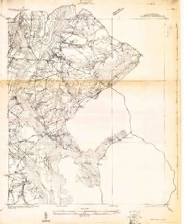
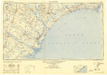
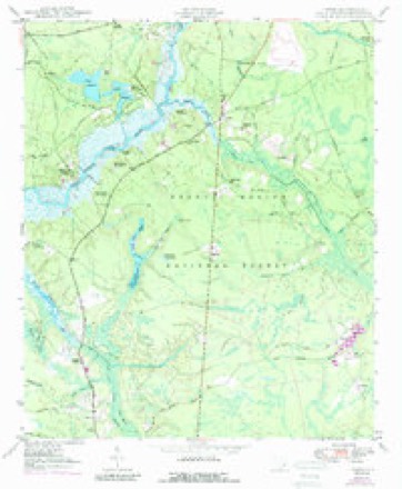
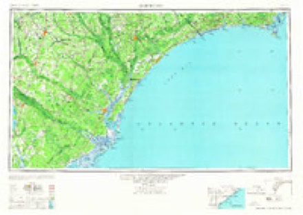
13 topographic sheets cover this place, the earliest surveyed in 1919 and the latest in 1986. It stands in the Cordesville census division. It lies in ZIP code area 29450. It stands on York Bottom Creek. The Survey maps it on the Huger quadrangle. It stands 30 feet above sea level.
On record in Huger
Buildings and businesses the archive holds for this place. Each opens its own page, with the source record it came from.
On the National Register 4 records
 Middleburg Plantationlisted 1970
 Pompion Hill Chapellisted 1970
- Cainhoy Historic Districtlisted 1982
- Quinby Plantation House-Halidon Hill Plantationlisted 1985
Surveyed buildings and structures 2 records
- Middleburg, Cooper River, East Branch, Hugerfederal building survey, 7 photographs
- Pompion Hill Chapel, Pompion Hill Lane, Hugerfederal building survey, 30 photographs
Topographic sheets covering this place
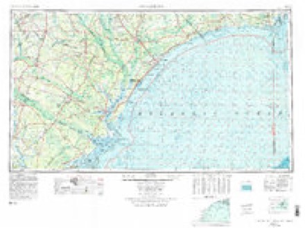
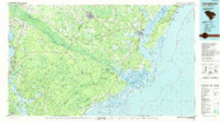
6 surveys from 13 printed sheetsMatched by testing this settlement's coordinate against the published boundary of every sheet in the United States Geological Survey's historical collection. Each opens the scanned sheet at the Survey.
- 1919 USGS Cordesville quadrangle1:48000, 2 printings
- 1949 USGS Georgetown quadrangle1:250000
- 1950 USGS Huger quadrangle1:24000, 5 printings
- 1967 USGS Georgetown quadrangle1:250000
- 1974 USGS Georgetown quadrangle1:250000, 2 printings
- 1986 USGS Georgetown quadrangle1:100000, 2 printings
Fires near this place
336 since 1992Regional context, not property-specific evidence. The federal wildfire occurrence database lists 336 fires within 5 miles of Huger between 1992 and 2019, burning about 4,807 acres in total. 4 started naturally. 130 were recorded as arson. Distance is straight-line from the map coordinates, so a fire counted here may appear on a neighbouring settlement's page as well.
| Reported cause | Fires |
|---|---|
| Arson/incendiarism | 130 |
| Debris and open burning | 84 |
| Missing data/not specified/undetermined | 83 |
| Equipment and vehicle use | 15 |
| Railroad operations and maintenance | 12 |
| Natural | 4 |
| Smoking | 3 |
| Power generation/transmission/distribution | 2 |
| Fireworks | 1 |
| Other causes | 1 |
| Misuse of fire by a minor | 1 |
The most recent of them, most recent first, with the day each was reported and the service that recorded it.
| Date | Cause | Size | Reported by | Name on the report |
|---|---|---|---|---|
| 6 September 1997 | Arson/incendiarism | 3.0 acres | South Carolina Forestry Commission | not named |
| 28 September 2005 | Arson/incendiarism | under an acre | Francis Marion & Sumter National Forests | QUITTING TIME |
| 11 September 2019 | Power generation/transmission/distribution | under an acre | Francis Marion & Sumter National Forests | POWERLINE |
| 5 August 1999 | Equipment and vehicle use | under an acre | Francis Marion & Sumter National Forests | DRIVE BY |
| 3 August 1993 | Arson/incendiarism | under an acre | Francis Marion & Sumter National Forests | not named |
| 3 August 1993 | Arson/incendiarism | under an acre | Francis Marion & Sumter National Forests | not named |
| 22 August 1995 | Arson/incendiarism | 2.0 acres | Francis Marion & Sumter National Forests | GETRIM |
| 21 August 2002 | Natural | under an acre | South Carolina Forestry Commission | not named |
Settlements close enough to share some of these fires:
Storms near this place
26 since 1996Regional context, not property-specific evidence. The National Weather Service names Huger in 26 storm reports between 1996 and 2025: 16 thunderstorm wind, 5 flash flood, 3 tornado, 1 hail. No death or injury is recorded in these reports. Each account below is quoted exactly as the forecast office filed it, from the NOAA Storm Events Database, and each date opens the federal record of that event.
| When | Event | Place named | Harm | What the report says |
|---|---|---|---|---|
| April 1999 | Tornado (F1) | Huger | $50,000 | no account filed |
| July 2010 | Thunderstorm Wind | Huger | $5,000 | A National Weather Service storm survey team, determined that damage occurring near the intersection of Steed Creek Road and Halfway Creek Road, 5 miles west-northwest of Awendaw, South Carolina was a result of straight line winds. The storm survey team found multiple large pine trees were snapped and uprooted in this area. |
| July 2010 | Thunderstorm Wind | Huger | $5,000 | A National Weather Service storm survey team, determined that damage occurring along Halfway Creek Road, 3 miles east-southeast of Smith, South Carolina was a result of straight line winds. The storm survey team found multiple small trees and tree limbs down in this area. |
| April 2019 | Thunderstorm Wind | Huger | $2,500 | A NWS employee reported scattered tree damage throughout the city of Huger. |
| July 2012 | Thunderstorm Wind | Huger | $1,000 | One tree was reported down on Halfway Creek Road between Steed Creek Road and United Drive. |
| June 2010 | Thunderstorm Wind | Huger | $1,000 | A fire department reported 1 tree down. |
| May 2012 | Thunderstorm Wind | Huger | $500 | A report of a tree blown down along Highway 41. |
| April 2007 | Thunderstorm Wind | Huger | $500 | A Tree was reported down on a powerline near the intersection of Highway 98 and 402. |
| June 2025 | Thunderstorm Wind | Huger | - | A Berkeley County emergency manager reported several trees down between Cainhoy and Huger. |
| August 2023 | Tornado (EF1) | Huger | - | A National Weather Service Storm Survey Team confirmed an EF1 tornado with an estimated maximum wind speed of 95 mph in Berkeley County occurring from 359 PM EST to 404 PM EST. The tornado, associated with the outer rainbands of Hurricane Idalia, began just south of Eccles Church Road over Muddy Creek. As the tornado approached Eccles Church Road, it snapped and uprooted several large hardwood and softwood trees. The tornado then continued north-northwest into a heavily wooded area where it sporadically snapped and uprooted many trees, before continuing a north-northwest track over another wooded, marshy region, producing minor damage to some trees. The tornado then ended near Irishtown Road. In addition to the ground survey, high resolution satellite imagery was used to fine tune the track of the tornado over remote locations. |
| August 2022 | Thunderstorm Wind | Huger | - | Law enforcement reported a tree down on a power line along Highway 41. |
| July 2017 | Thunderstorm Wind | Huger | - | Charleston County dispatch reported a tree down and in the roadway on Halfway Creek Road near United Drive. |
| February 2016 | Thunderstorm Wind | Huger | - | The media reported trees down on Halfway Creek Road one mile south of Steed Creek Road. |
| June 2016 | Thunderstorm Wind | Huger | - | Law enforcement reported a tree down near the intersection of Halfway Creek Road and Steed Creek Road. |
| October 2016 | Flash Flood | Huger | - | Law enforcement reported United Road washed out near the intersection with Highway 41. The washout likely occurred near a branch of Hester Canal. Heavy rains were associated with Hurricane Matthew. |
| June 2015 | Thunderstorm Wind | Huger | - | Law enforcement reported a tree down on Highway 41 near Cainhoy Elementary School. |
| July 2015 | Thunderstorm Wind | Huger | - | South Carolina Highway Patrol reported that a tree was blown down onto Halfway Creek Road at the United Drive intersection. |
| July 2012 | Heavy Rain | Huger | - | Trained Spotter measured 8 inches of rain that fell over a 3 hour period. |
| December 2009 | Flash Flood | Huger | - | Broadcast media reported a road closure due to flooding along Halfway Creek Road between Steed Creek Road and Shulerville Road. |
| April 2006 | Tornado (F1) | Huger | - | Tornado snapped off large trees and broke off large tree limbs in the Francis Marion National Forest. Tornado touched down about 7 miles east of Huger at 754 pm and traveled East near 5 miles before dissipating about 4 miles north of Awendaw in Charleston County at 803 pm. The tornado was rated low end F1 with winds in the 75 to 85 mph range and at the widest point was 200 yards wide. |
| August 2005 | Flash Flood | Huger | - | Heavy rainfall flooded Cainhoy road in front the Cainhoy schools. |
| July 2003 | Flash Flood | Huger | - | Heavy rainfall from thunderstorms flooded Witherbee Road. |
| May 2002 | Thunderstorm Wind | Huger | - | Downed power lines due to large limbs. |
| May 2000 | Thunderstorm Wind | Huger | - | Trees and power lines down. |
| September 2000 | Flash Flood | Huger | - | no account filed |
| March 1996 | Hail | Huger | - | no account filed |
Nearest settlements
The eight closest, with where each one stands in the county. Distances are straight-line, computed from the Geographic Names Information System coordinates.
| Map | Place | Distance | Sheets |
|---|---|---|---|
| Spring Hill (historical) | 1.2 miles | 13 | |
| Limerick | 2.8 miles | 11 | |
| Old Joe | 2.8 miles | 13 | |
| Kensington | 3.0 miles | 11 | |
| Smith | 3.2 miles | 13 | |
| Conifer (historical) | 4.1 miles | 11 | |
| Richmond | 4.2 miles | 12 | |
| Burtons (historical) | 4.6 miles | 11 |
Elsewhere
Matched on this settlement's Geographic Names Information System number rather than its name, so it cannot be a different place of the same name in another state.
| Wikipedia article on Huger | An encyclopaedic summary. Its text is share-alike, so it is linked here rather than copied. |
| Wikidata item Q3709127 | The structured record the population and elevation above come from. Public domain (CC0). |
Provenance
This settlement is recorded in the Geographic Names Information System as feature 1246094. The sheet list is computed by point-in-boundary test against the United States Geological Survey's historical topographic inventory. Both are works of the United States government and carry no copyright under 17 U.S.C. 105.
Wildfire. Short, Karen C. 2022. Spatial wildfire occurrence data for the United States, 1992-2020 [FPA_FOD_20221014]. 6th Edition. Fort Collins, CO: Forest Service Research Data Archive. https://doi.org/10.2737/RDS-2013-0009.6 Collected with United States Government funding and usable without additional permissions or fees.
Storms. NOAA National Centers for Environmental Information, Storm Events Database https://www.ncei.noaa.gov/stormevents/ A work of the United States government, no copyright under 17 U.S.C. 105. Narratives are quoted verbatim from the National Weather Service report and are not edited or summarised.