Block
From the record
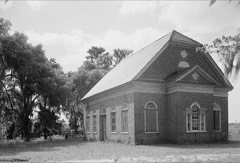
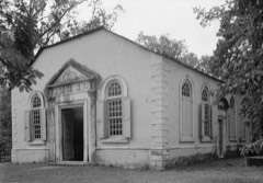
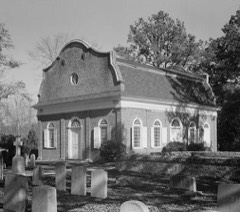
26 National Register listings published here, 2 of them National Historic Landmarks.
Sources: the National Register database, National Park Service
161 topographic sheets cover 210 settlements here, and 26 properties are on the National Register of Historic Places.
26 National Register listings published here, 2 of them National Historic Landmarks.
Sources: the National Register database, National Park Service
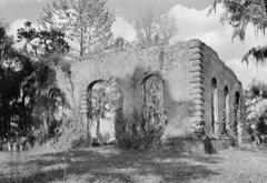
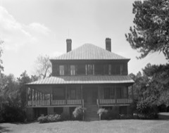
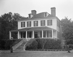
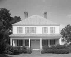
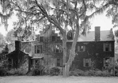
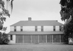
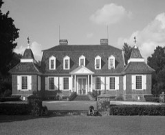
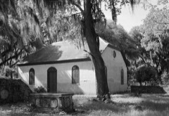
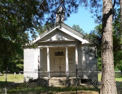
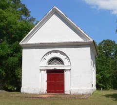
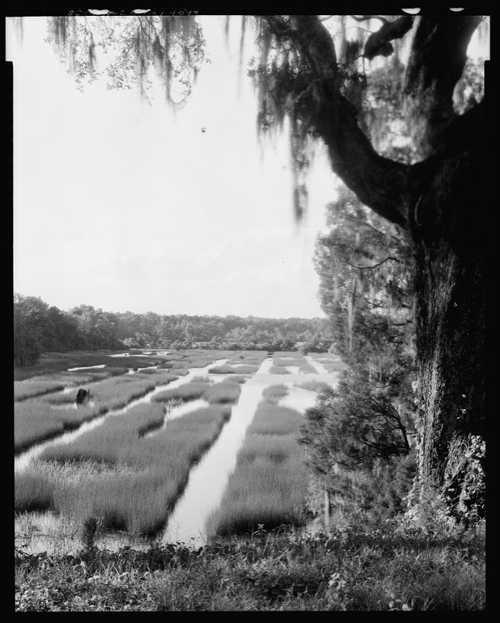
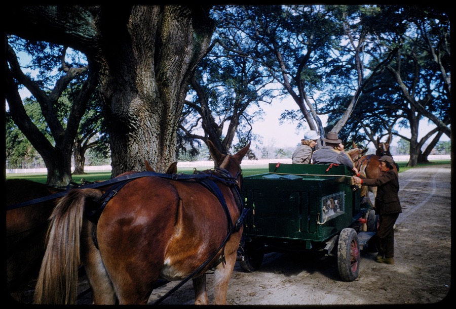
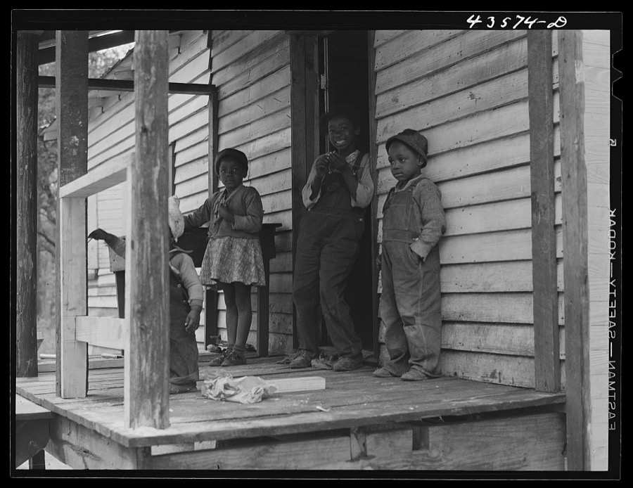
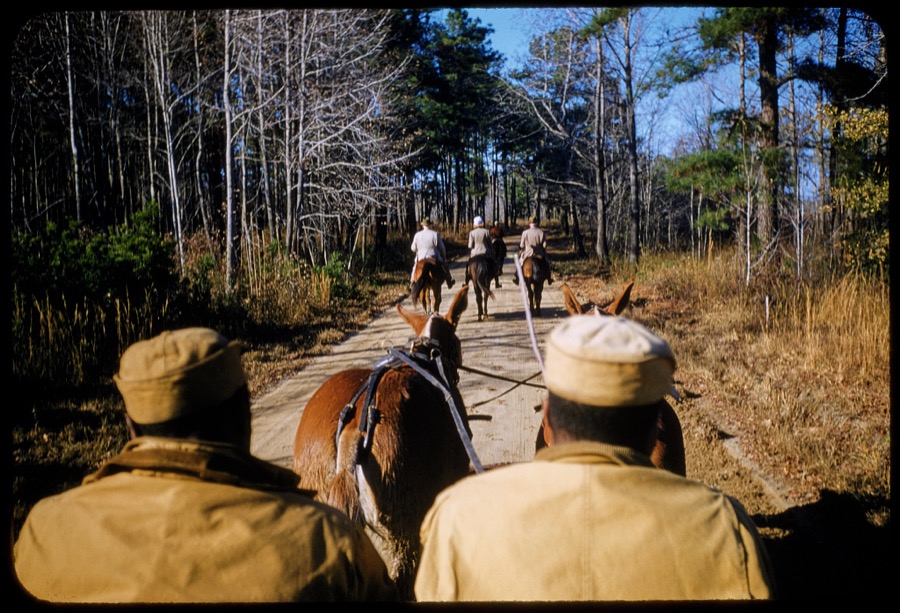
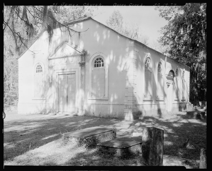
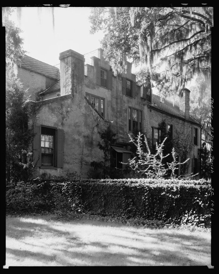
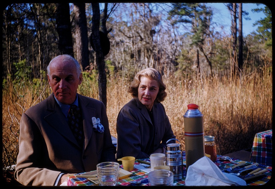
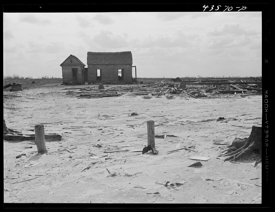
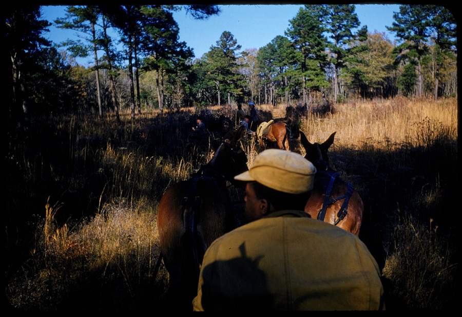
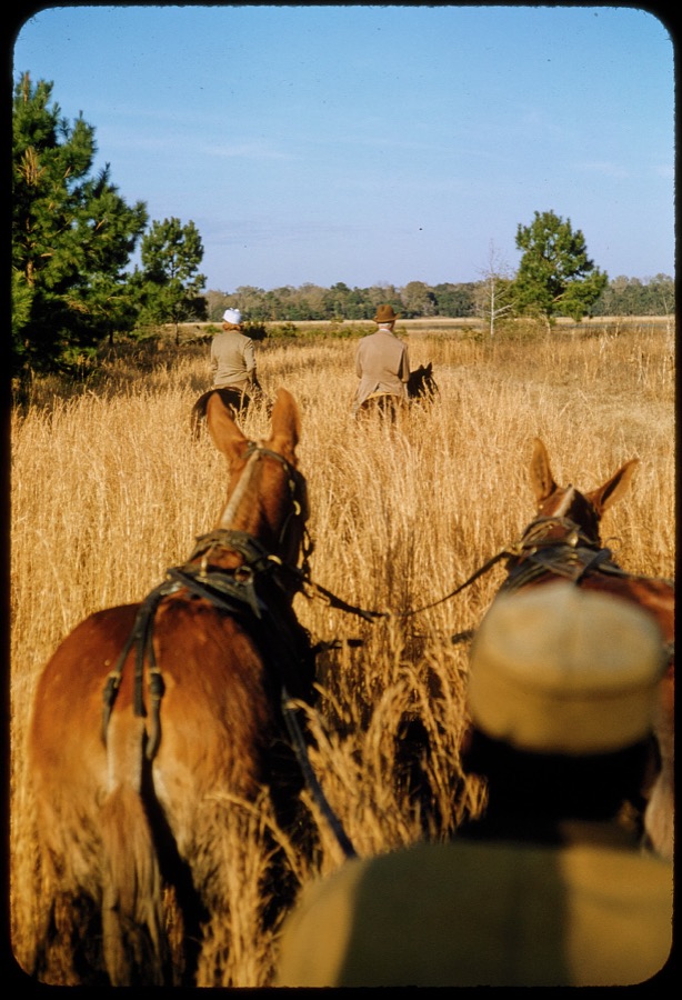
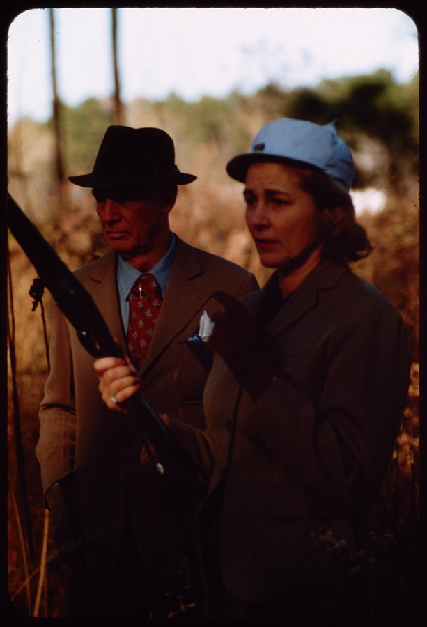
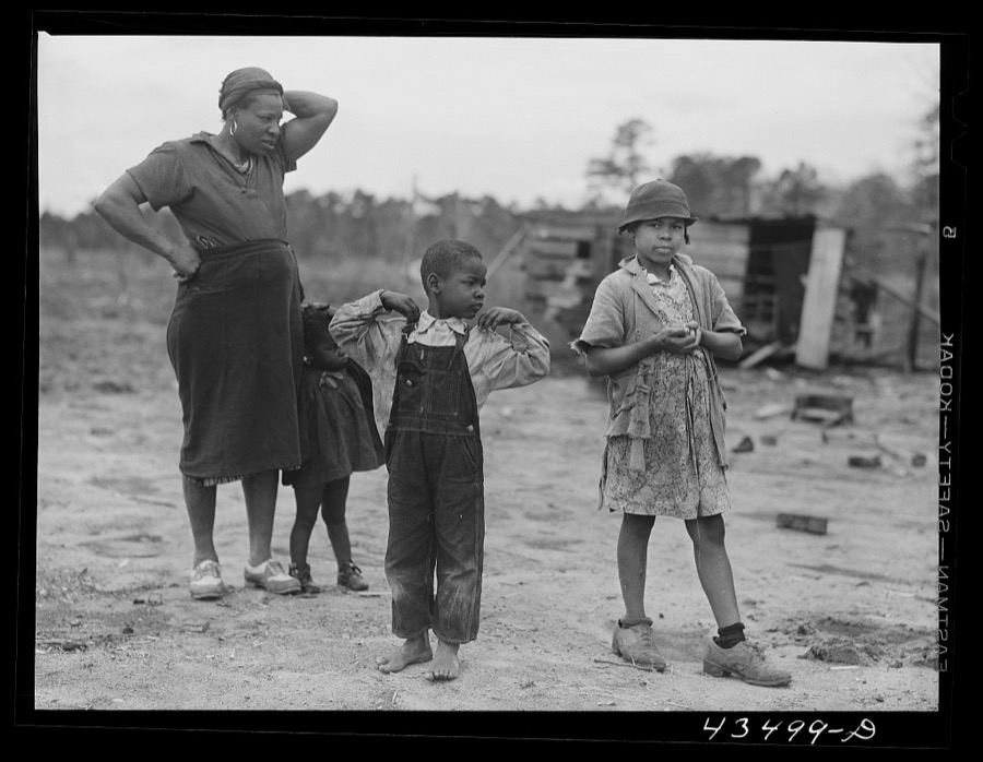
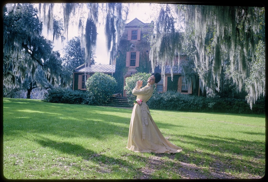
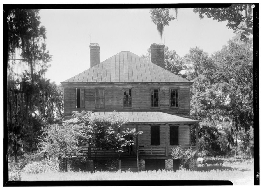
Taken for the Office of War Information and the Farm Security Administration, who photographed the country between 1935 and 1944. Works of United States government photographers, with no known restriction on use. Each opens its catalogue record.

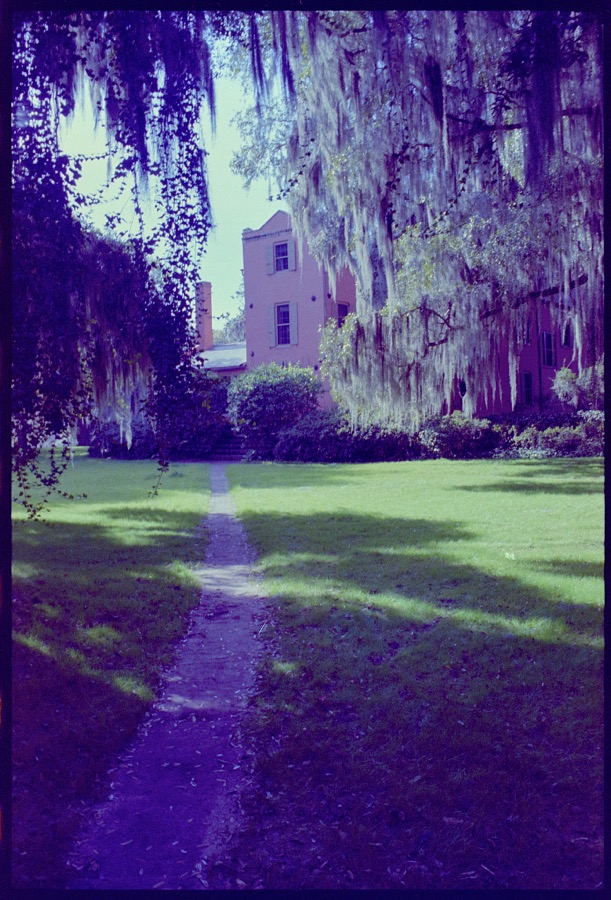
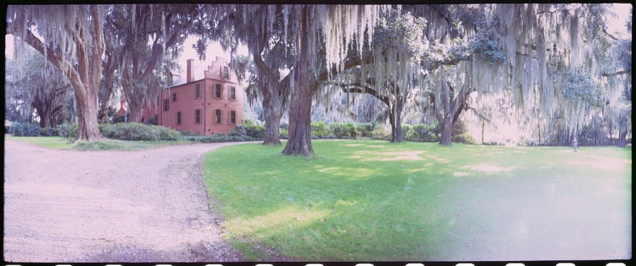
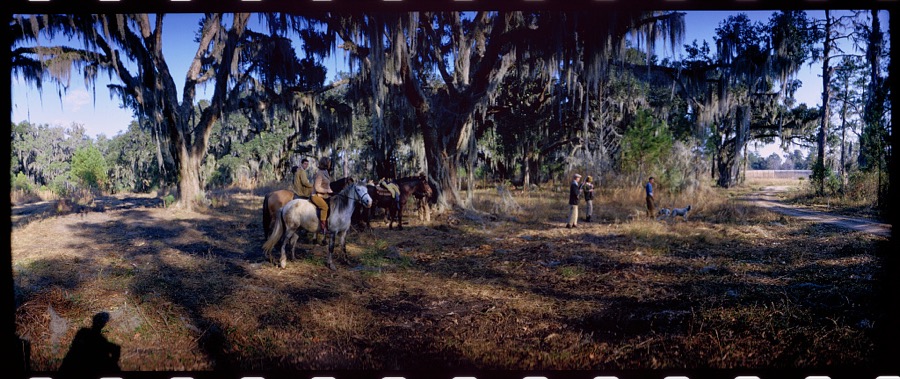


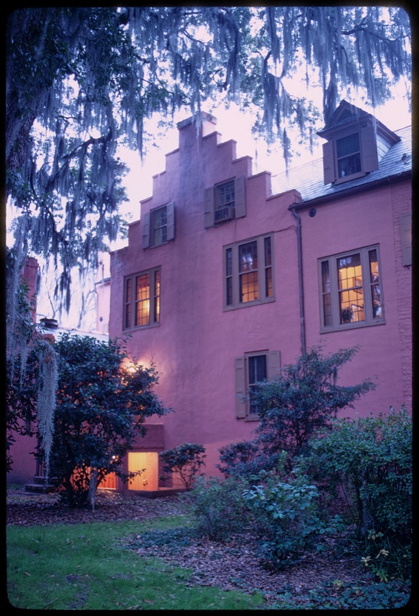


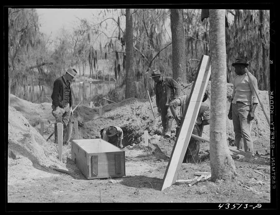
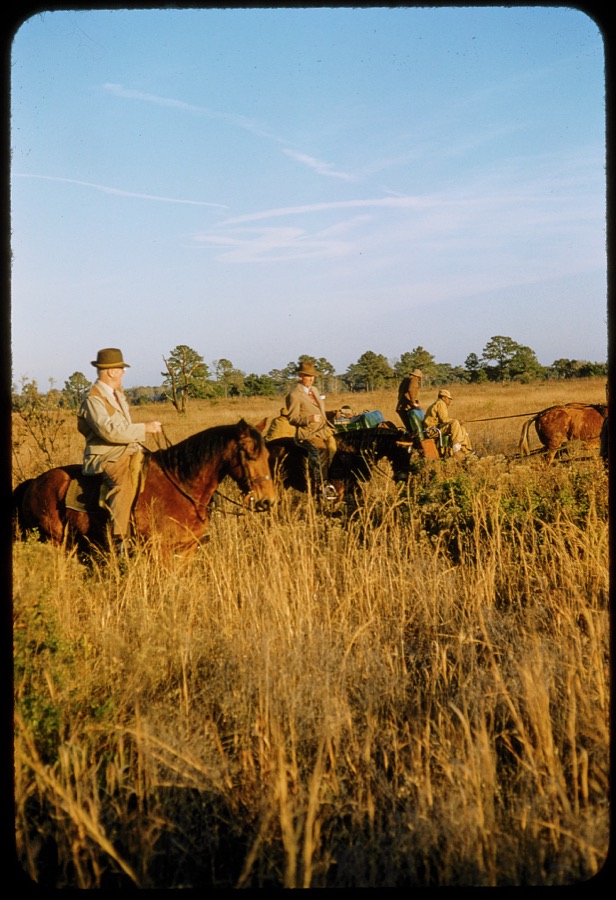


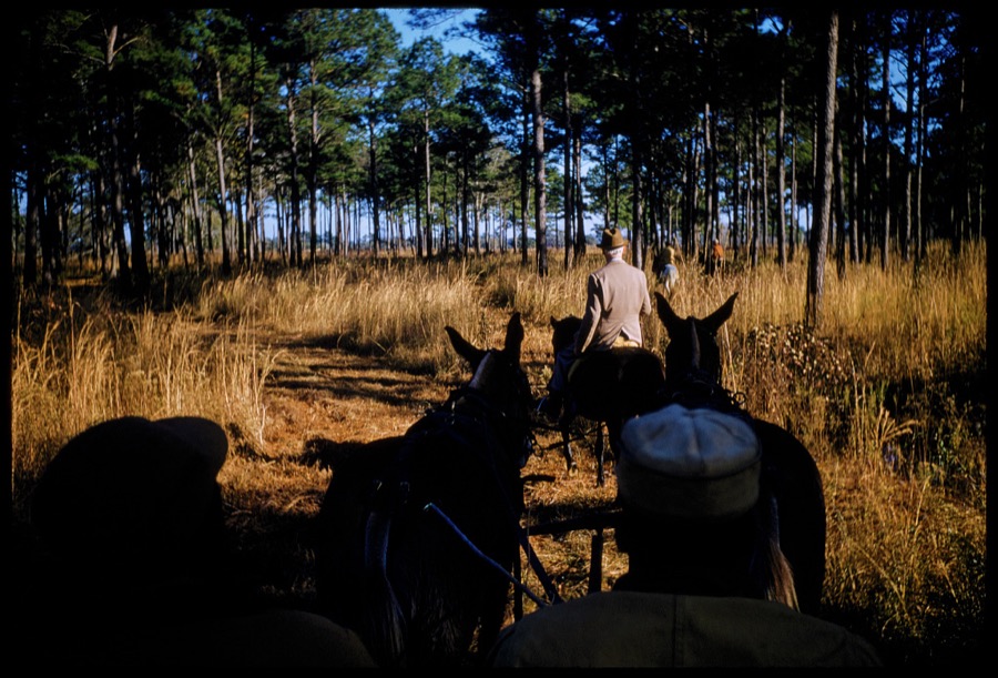
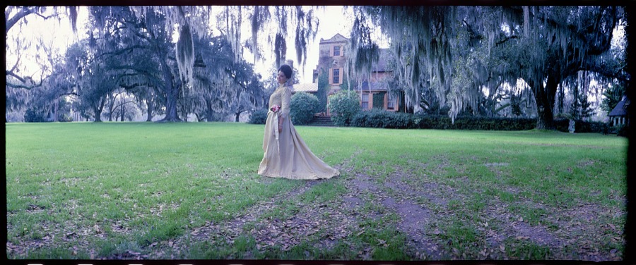

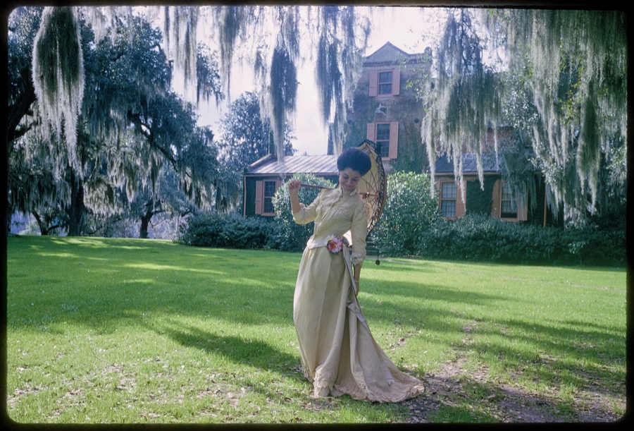

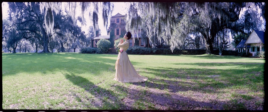
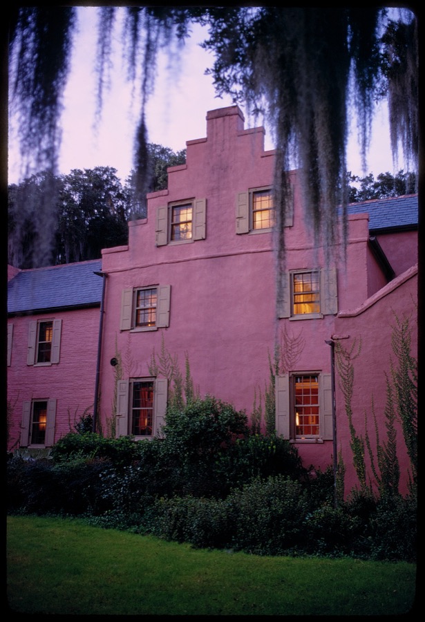
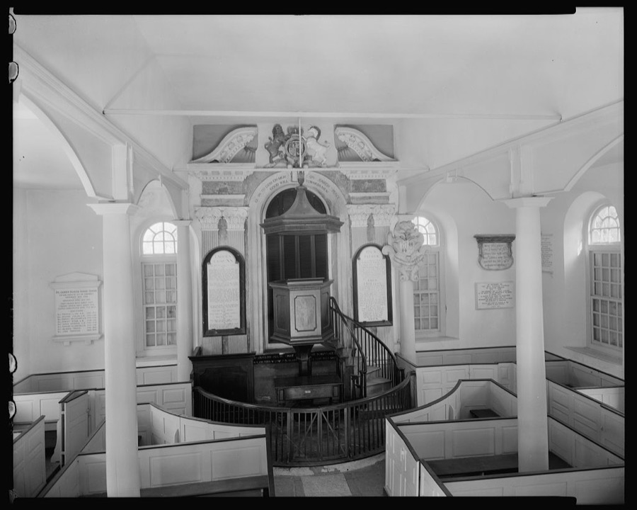

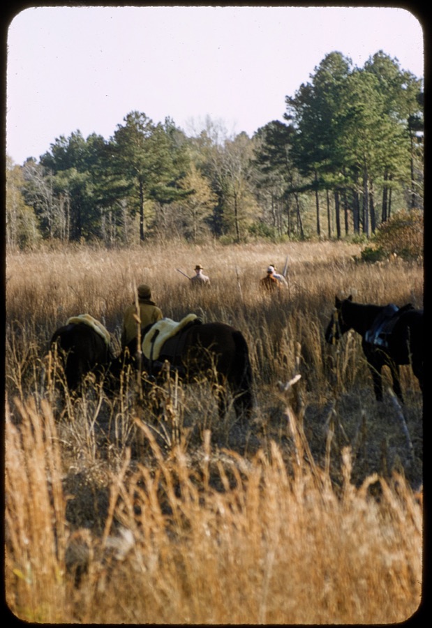
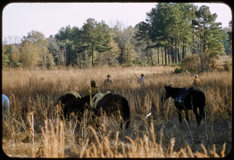
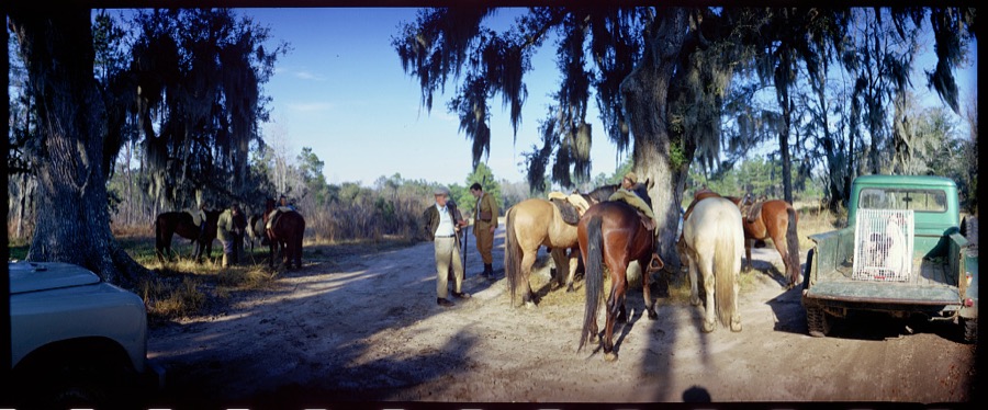
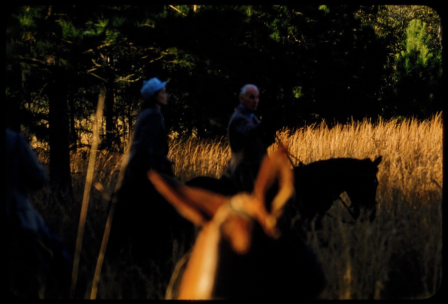
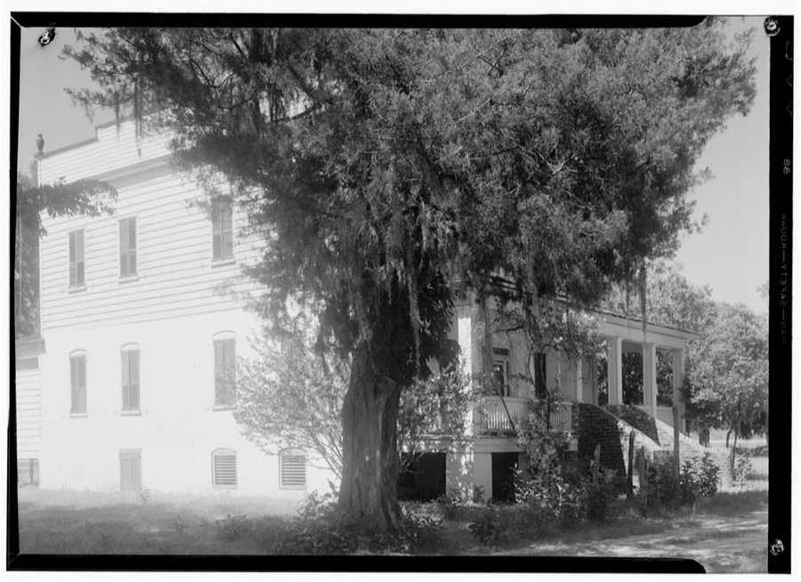
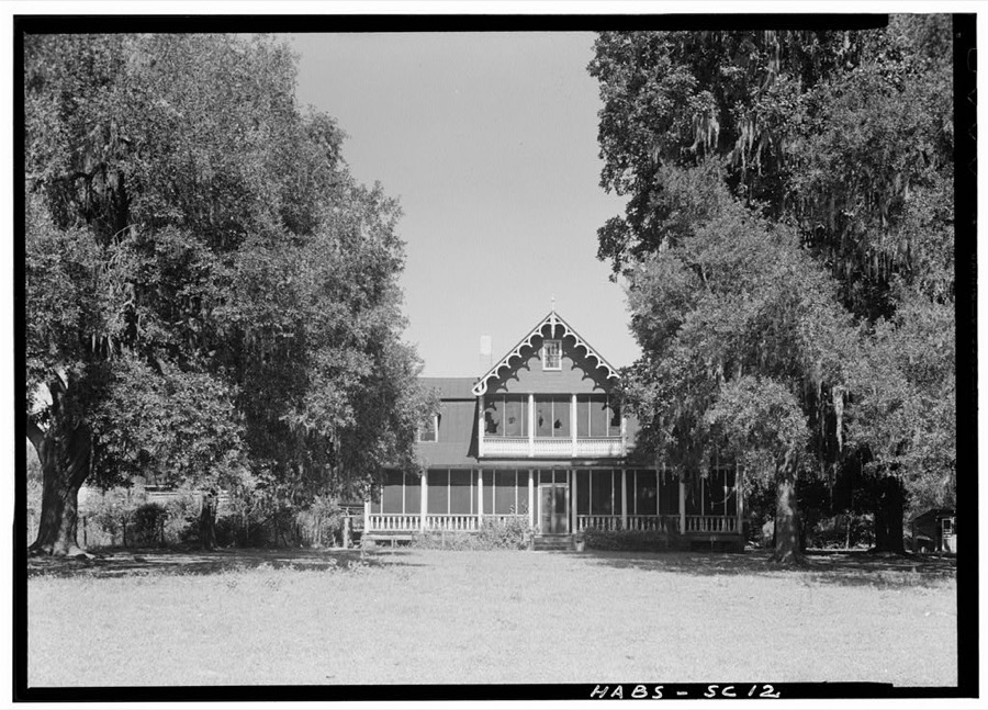
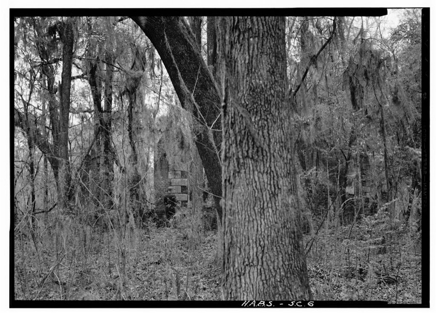
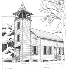
Every property in this county listed on the National Register of Historic Places, with the year it was listed and the federal nomination document.
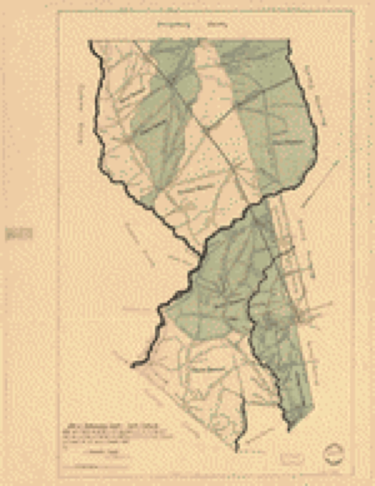
Drawn when these were printed as single large sheets: the town seen from the air, and the county divided into its farms with every owner named. Each opens the original at the Library of Congress.
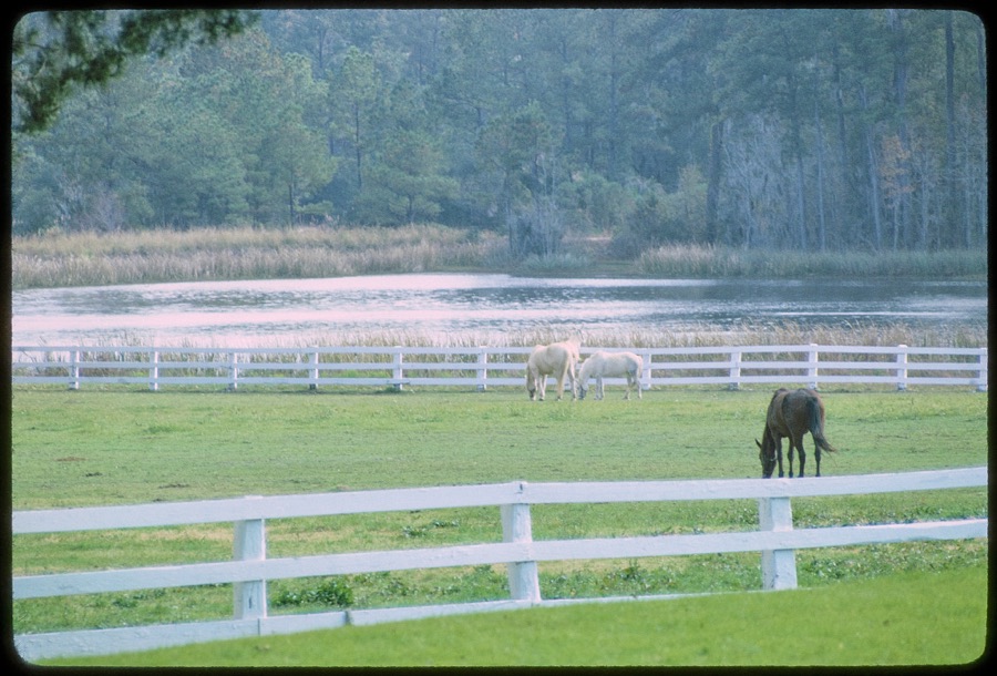
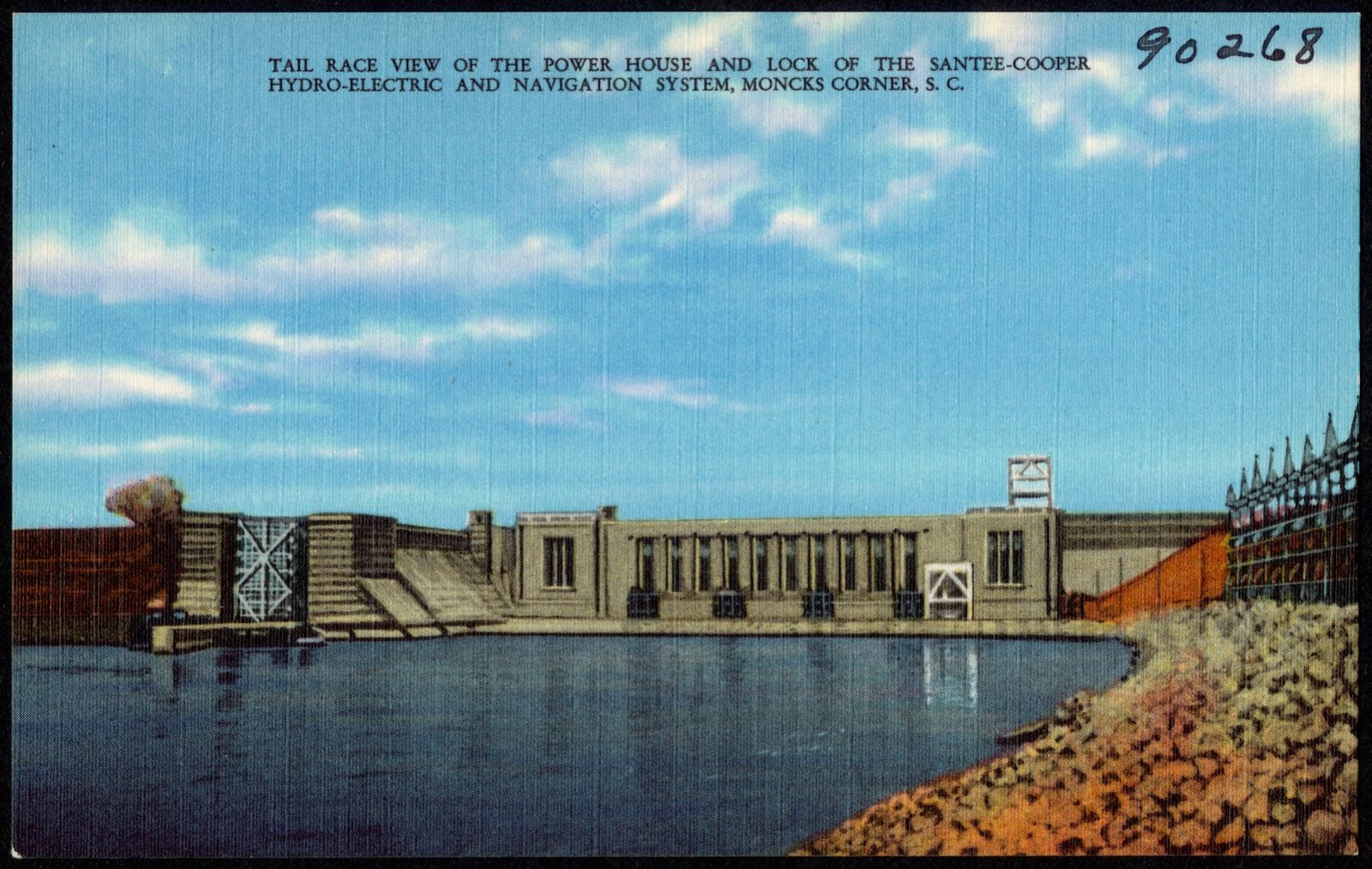
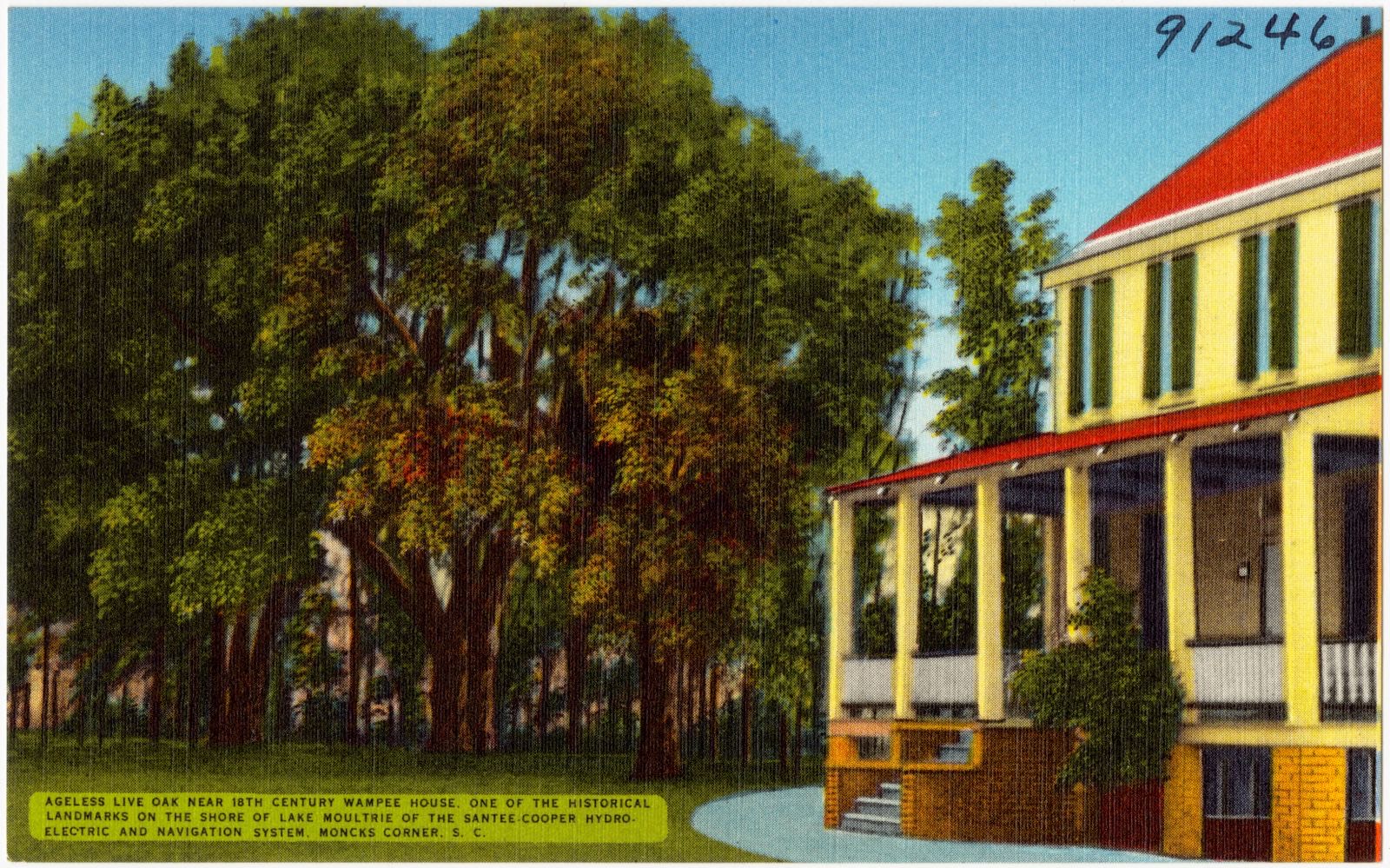
Selected from the Digital Public Library of America's 7 image records catalogued for this county. Every one shown here carries a public-domain status or a licence that permits reuse on a site that carries advertising; non-commercial, share-alike and restricted images are excluded. The selection is spread across the county's towns (at most eight per town), so no single institution's bulk upload crowds out the rest. Each opens the holding library's record, and the complete set at the Digital Public Library of America is one click away.
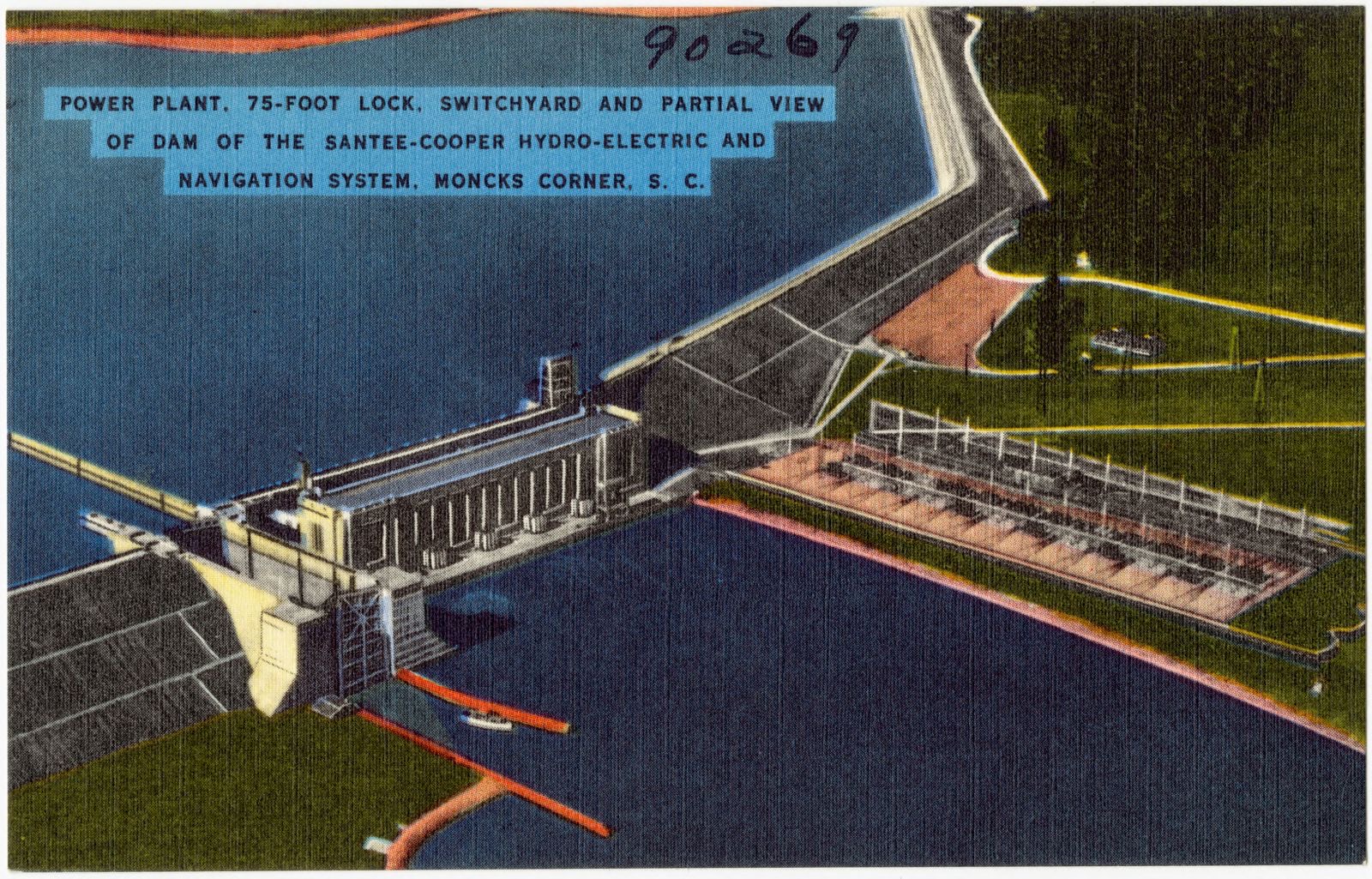

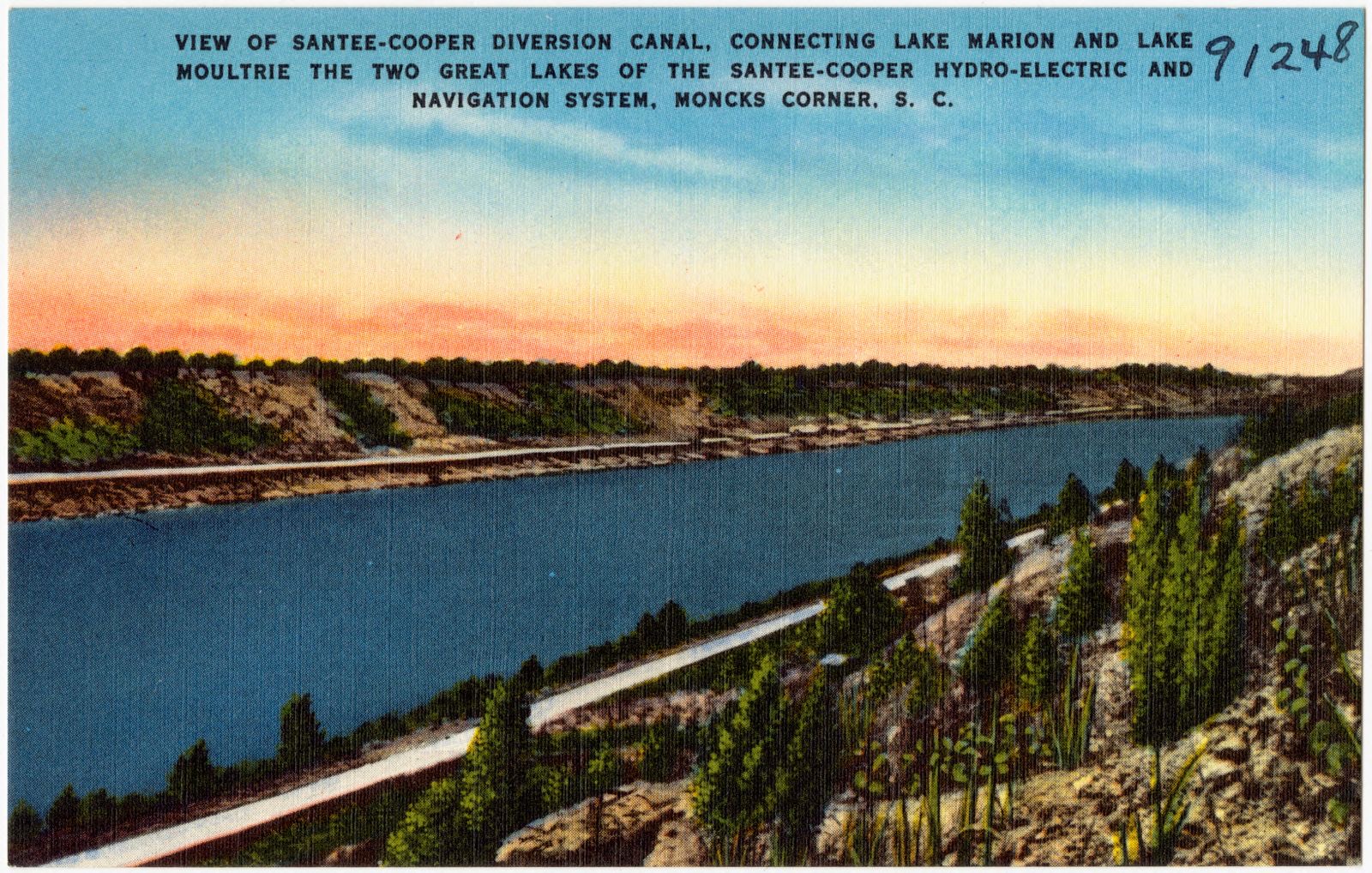
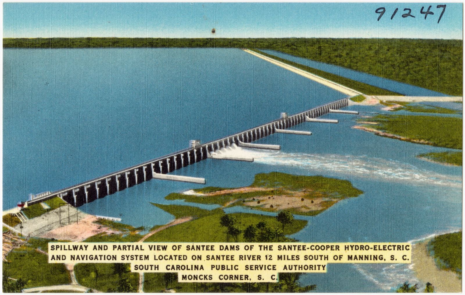
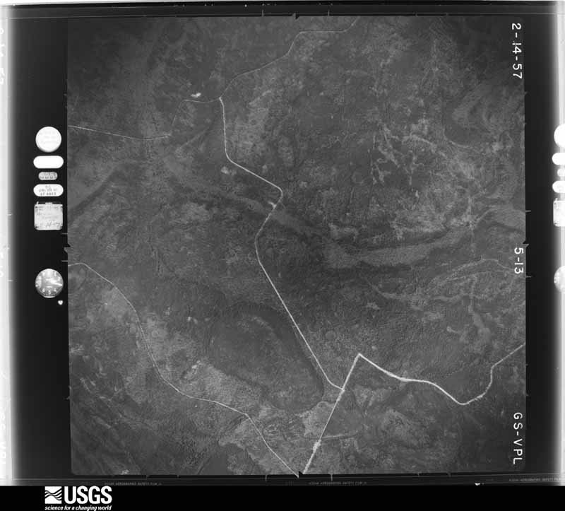
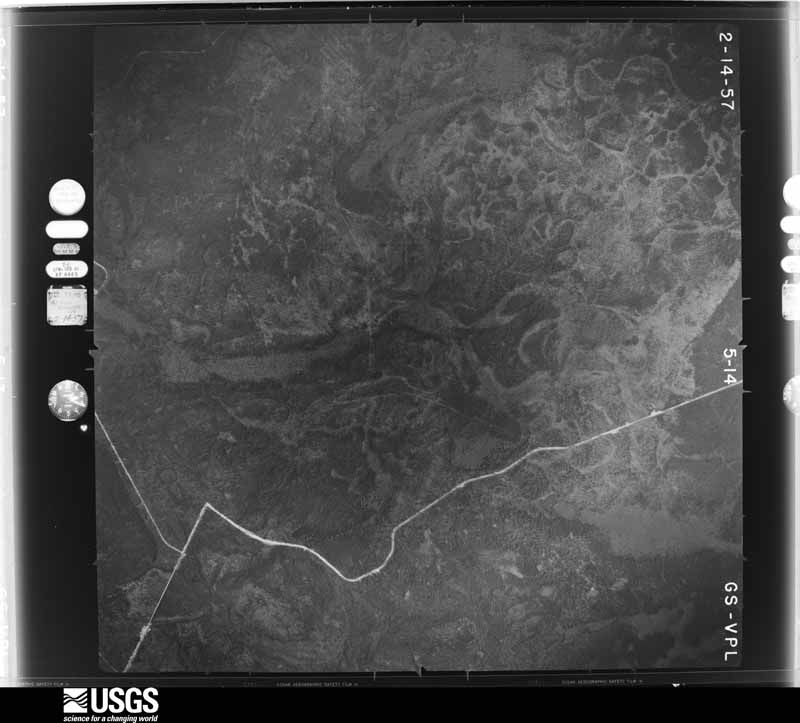
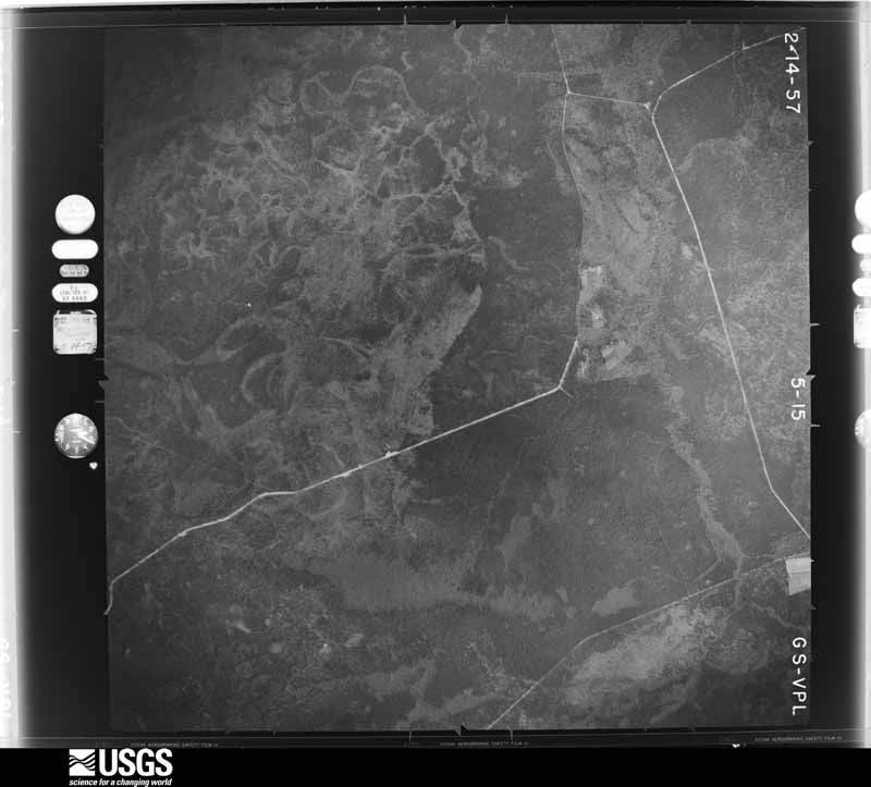
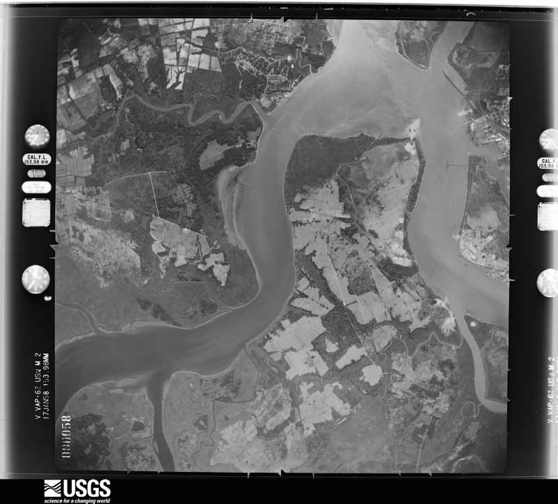
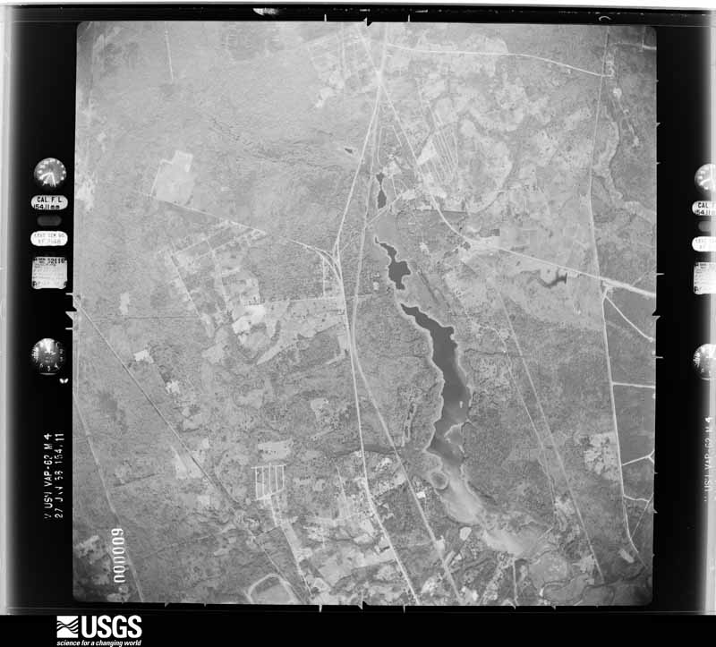
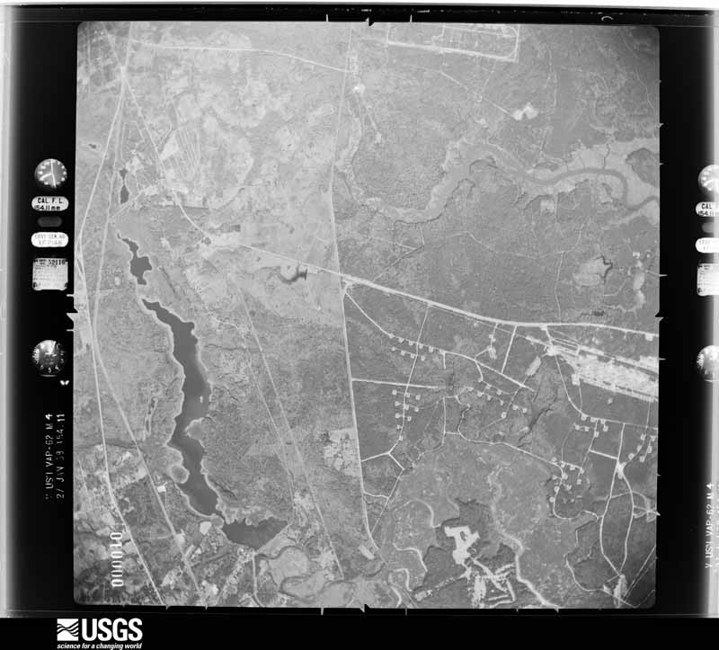
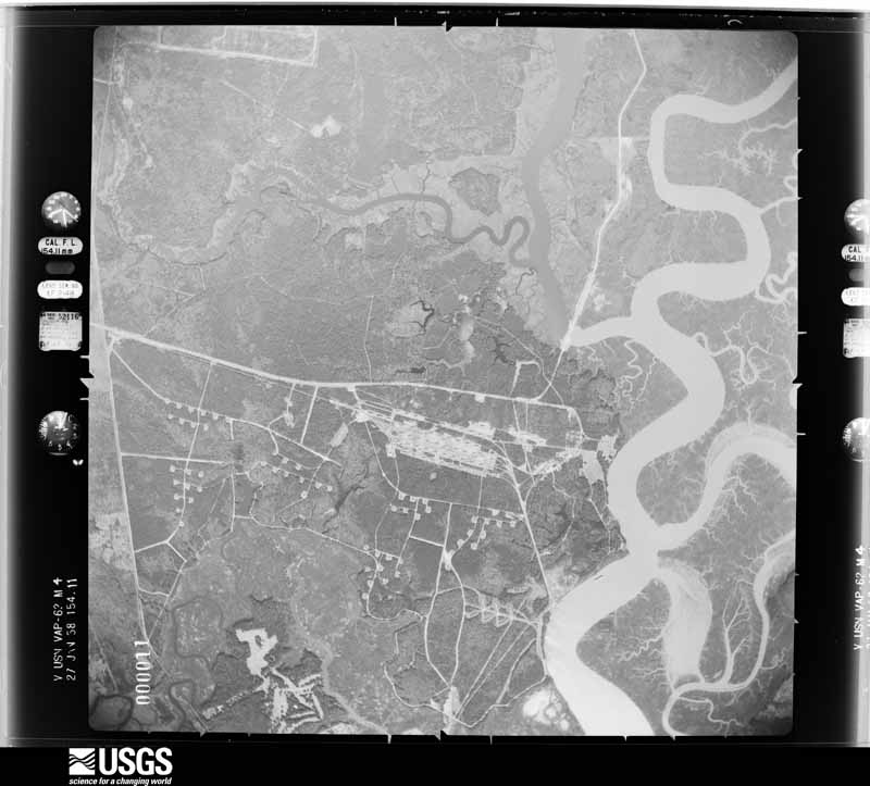
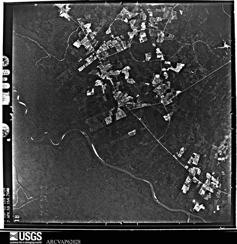
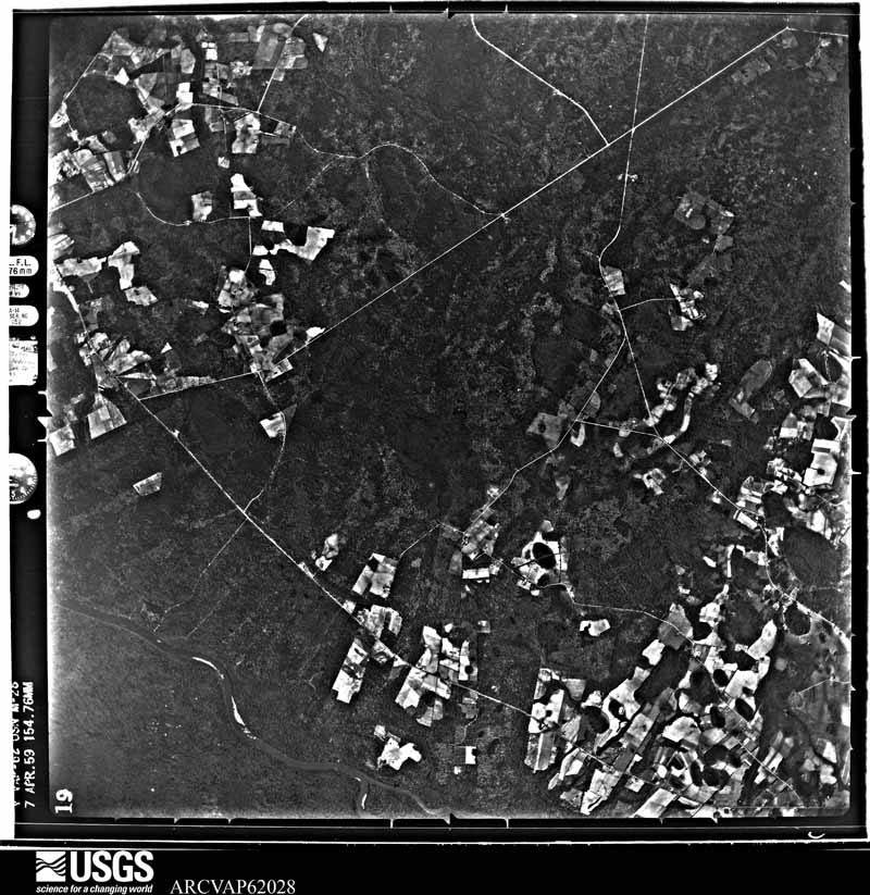
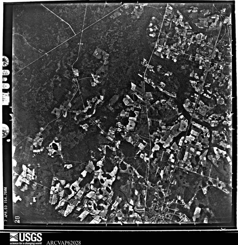
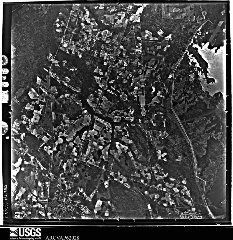
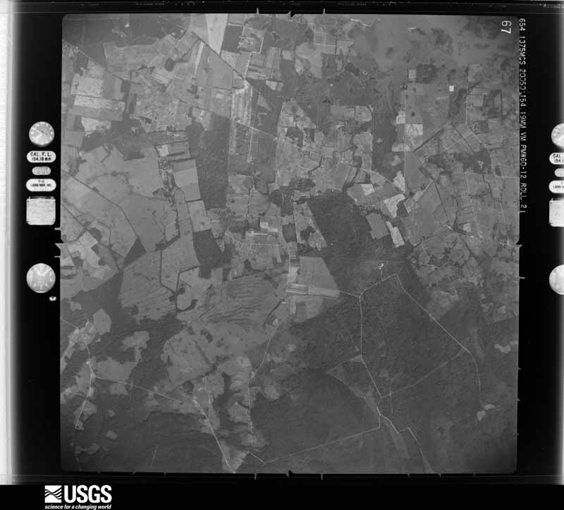
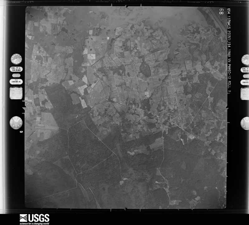
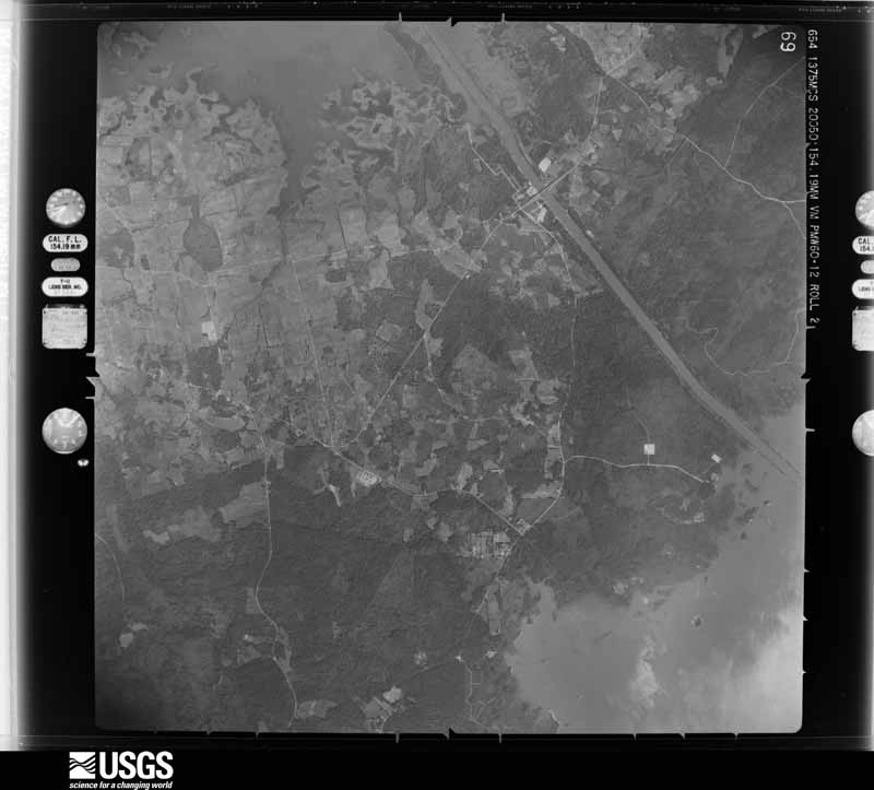
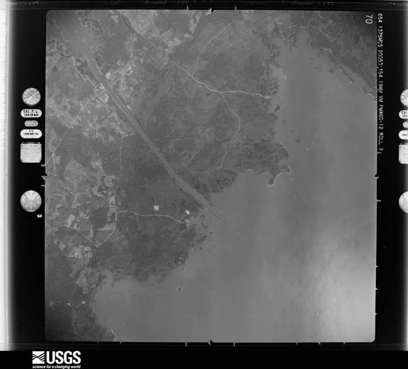
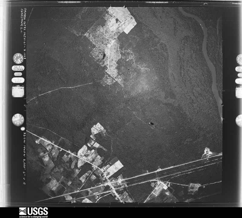
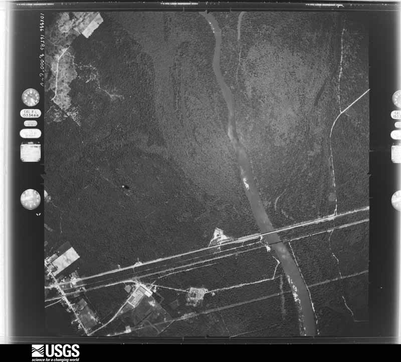
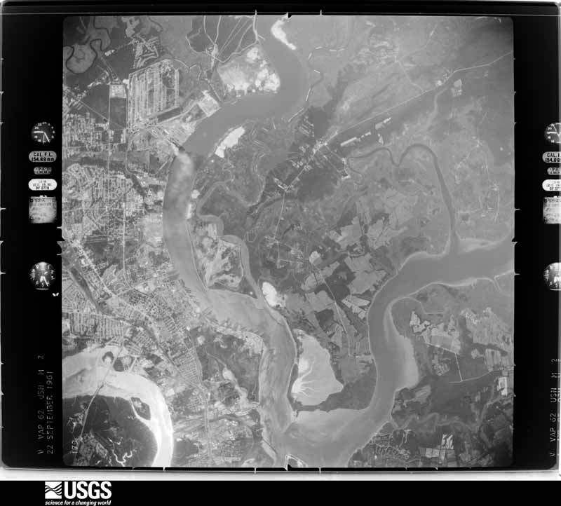
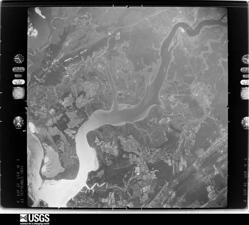
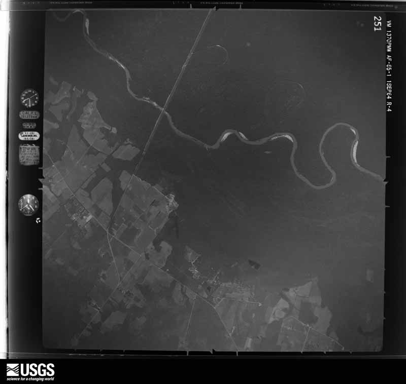
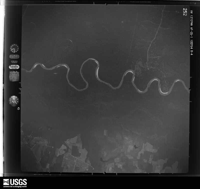
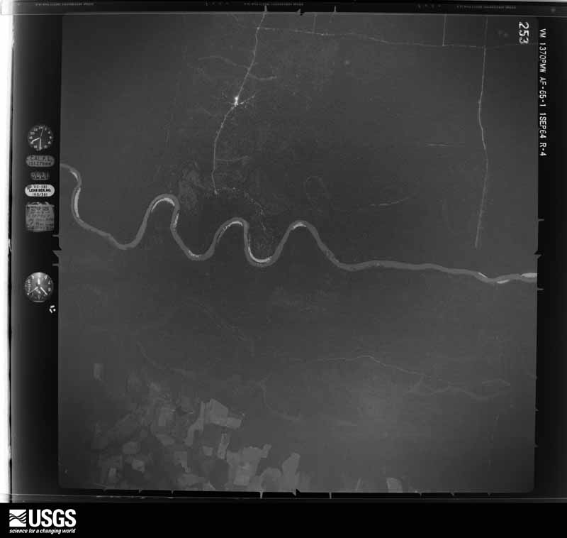
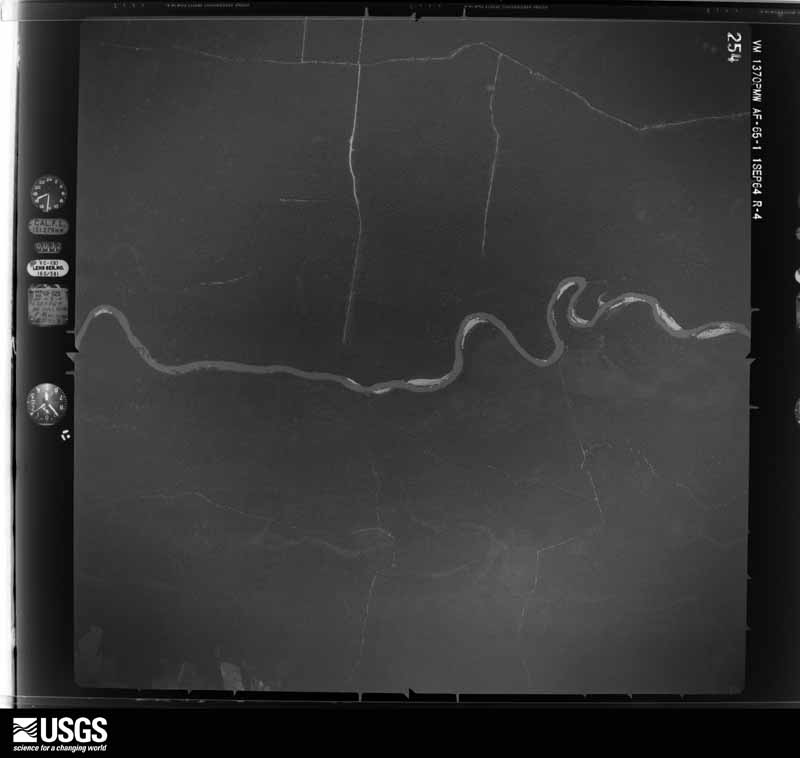
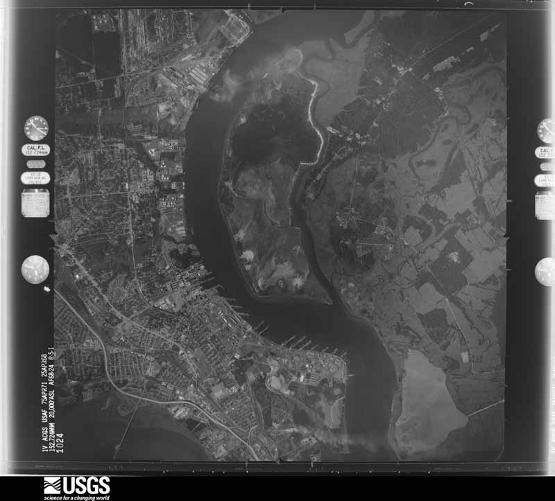
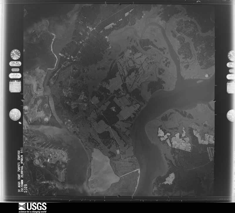
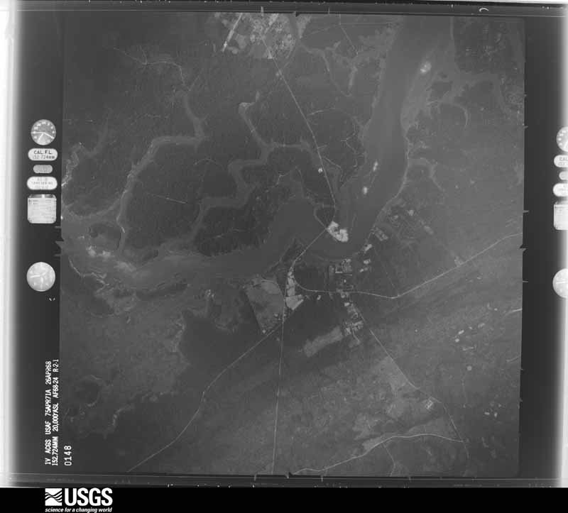
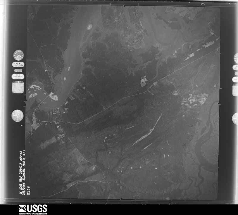
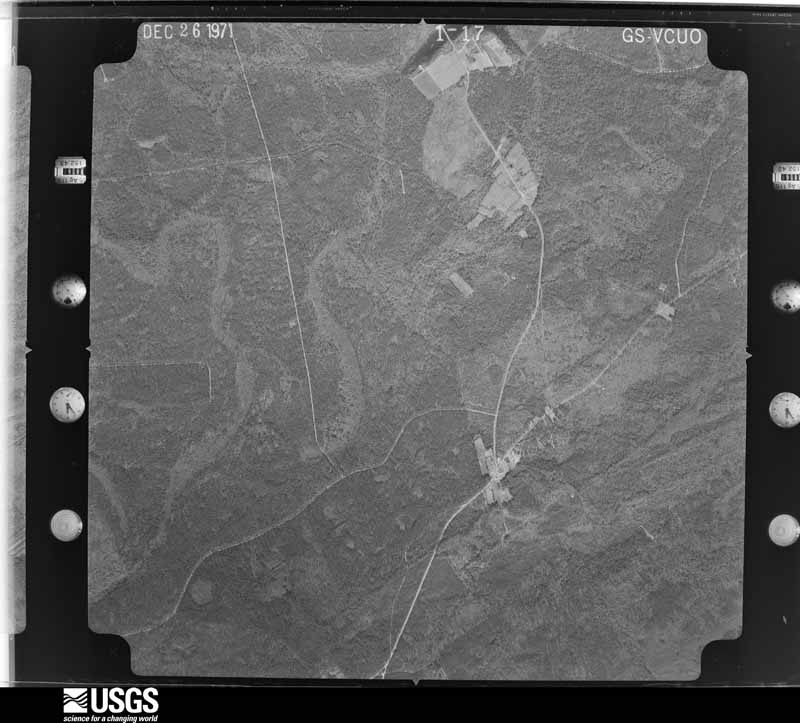
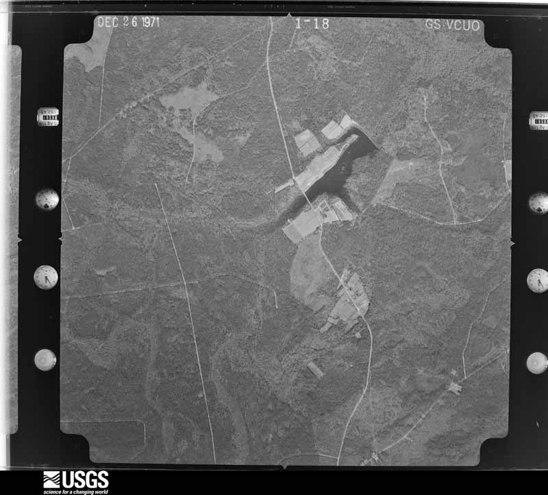
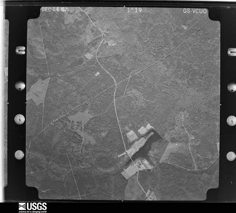
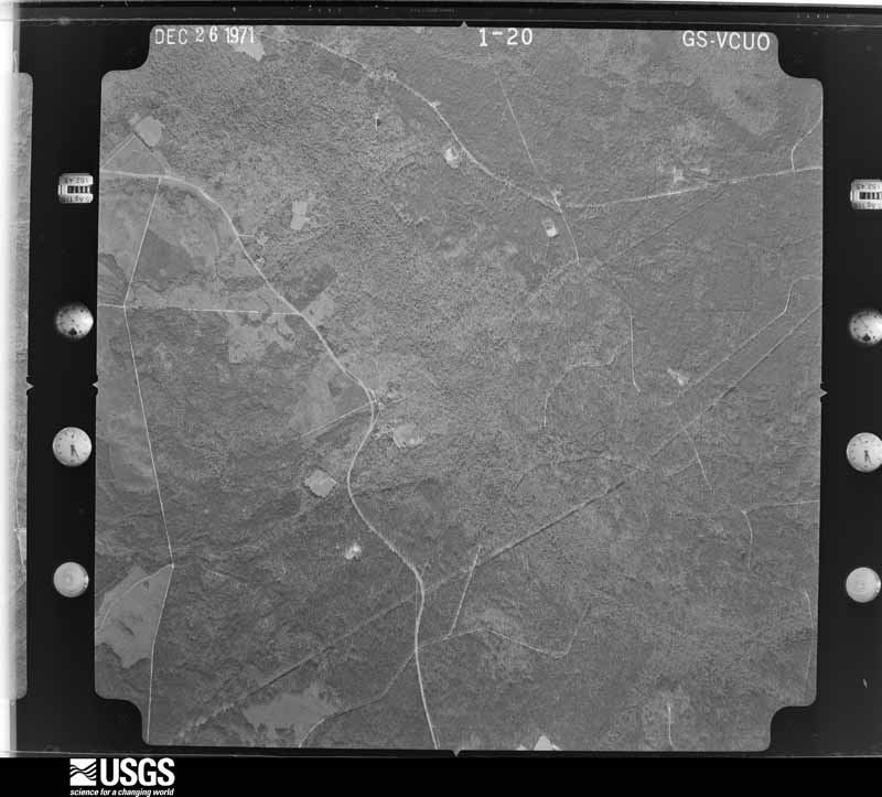
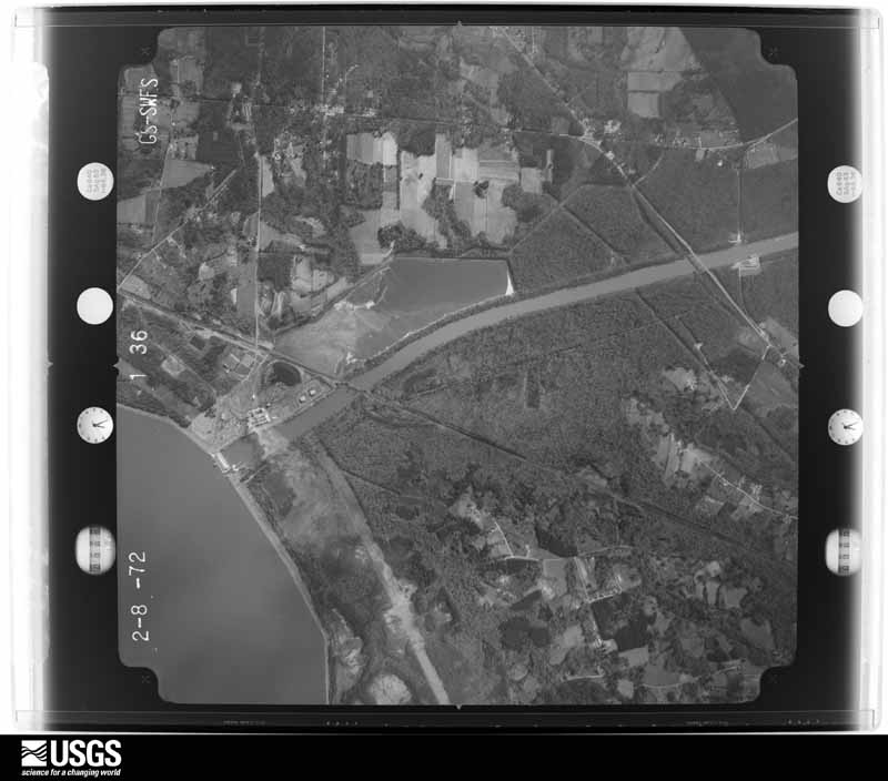
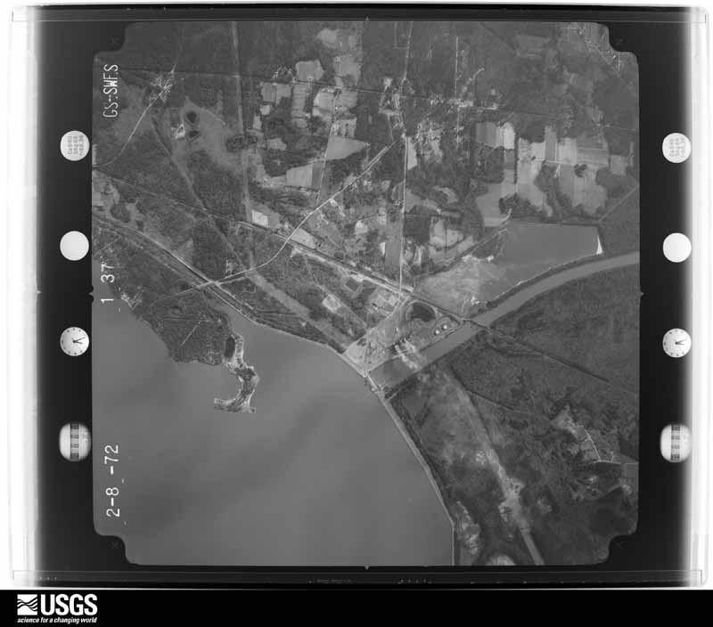
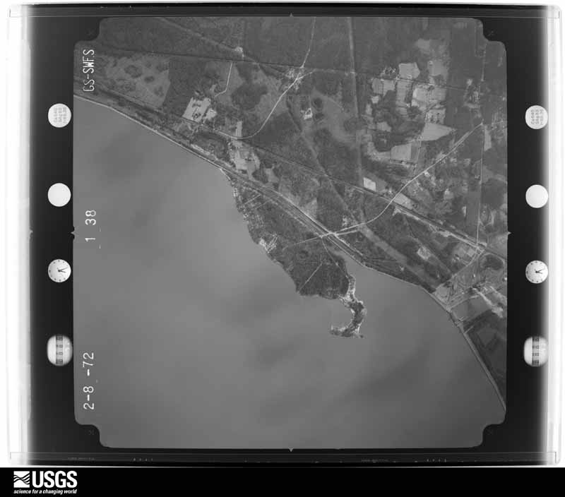
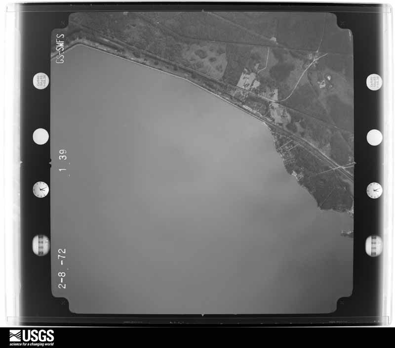
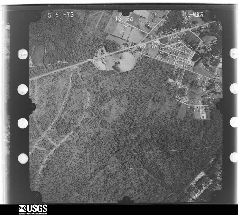
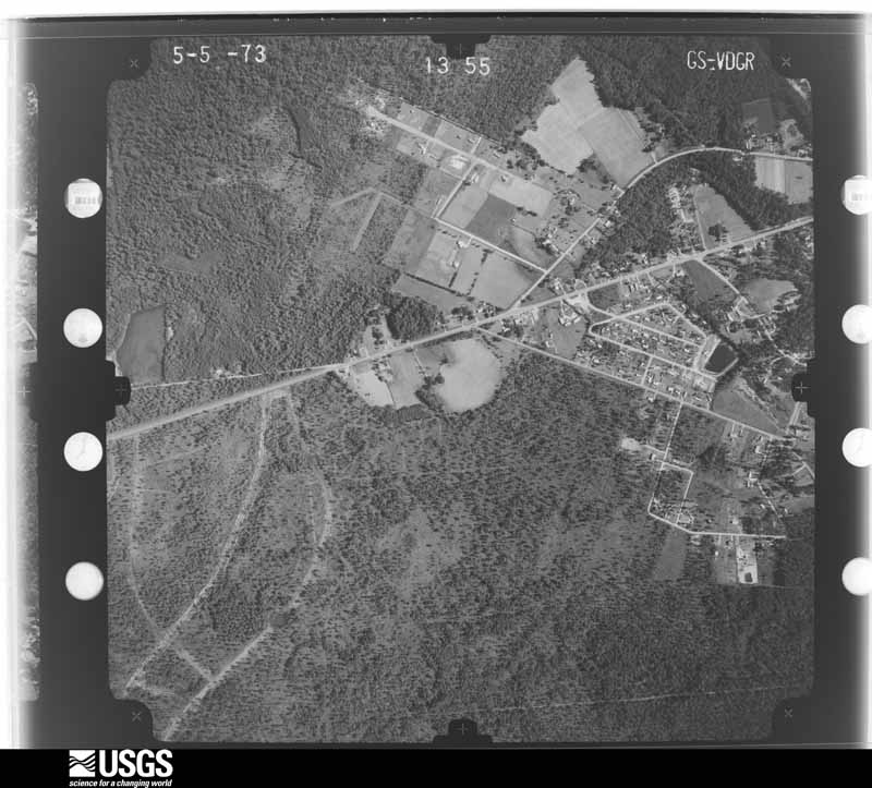
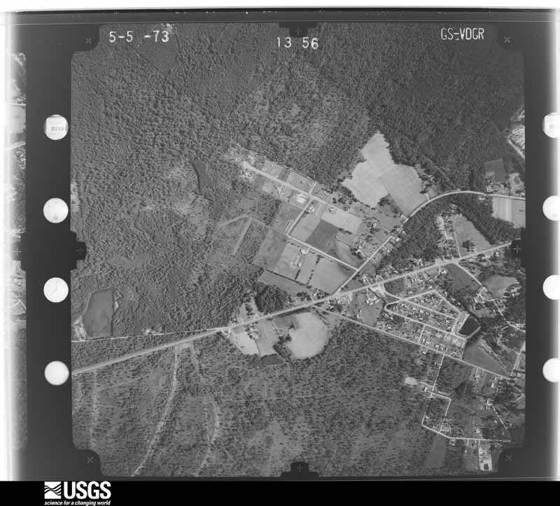
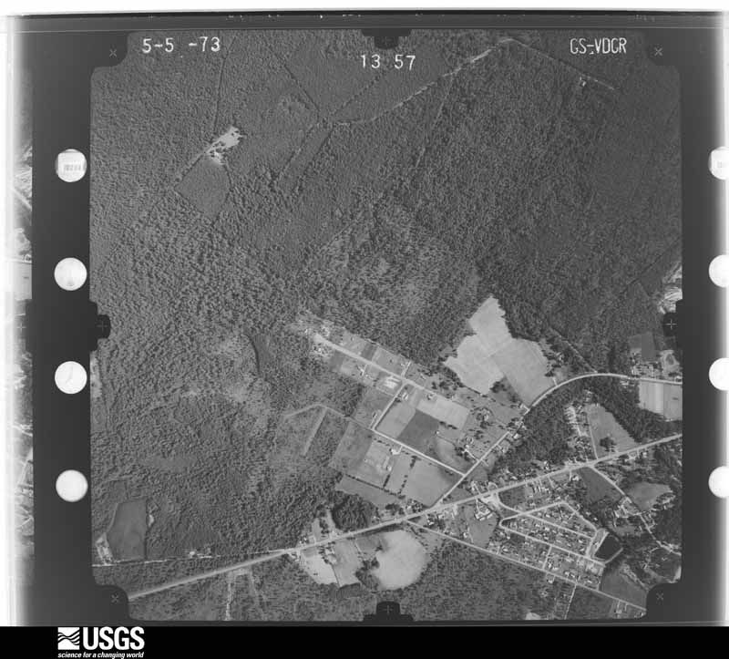
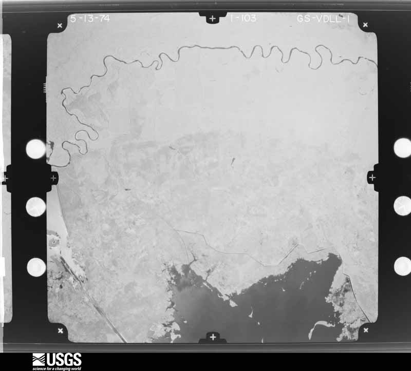
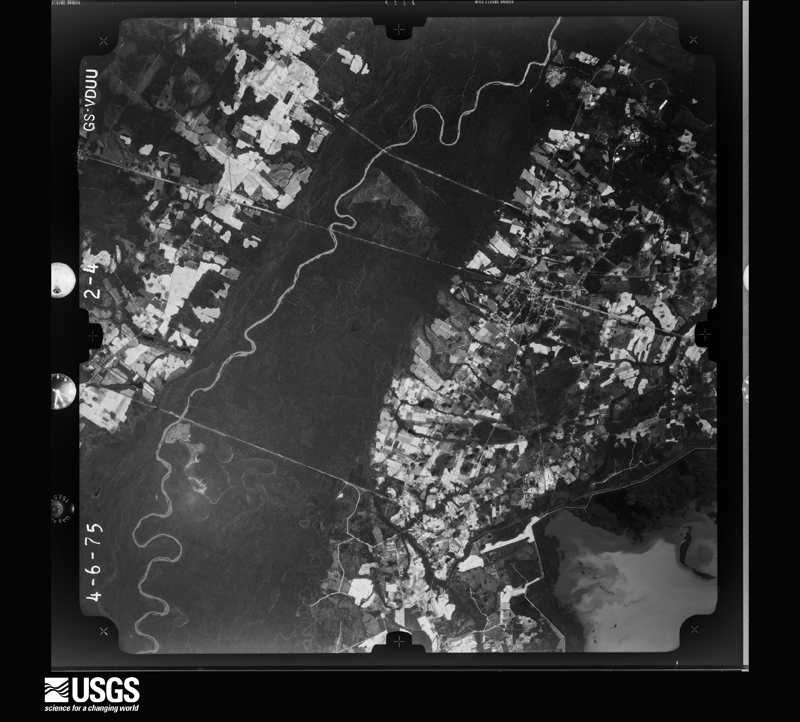
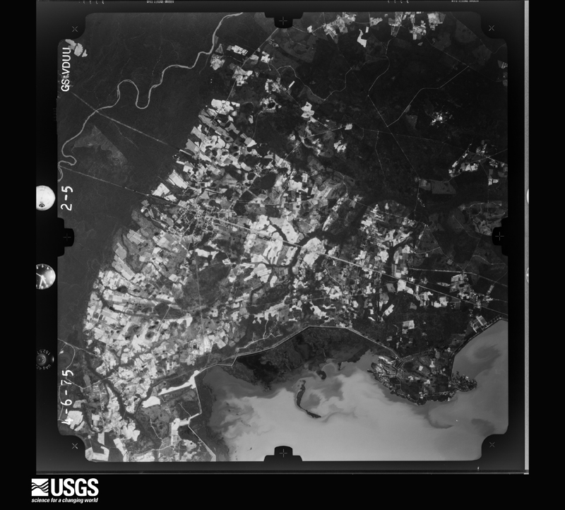
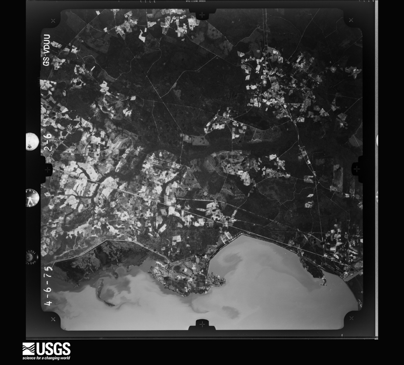
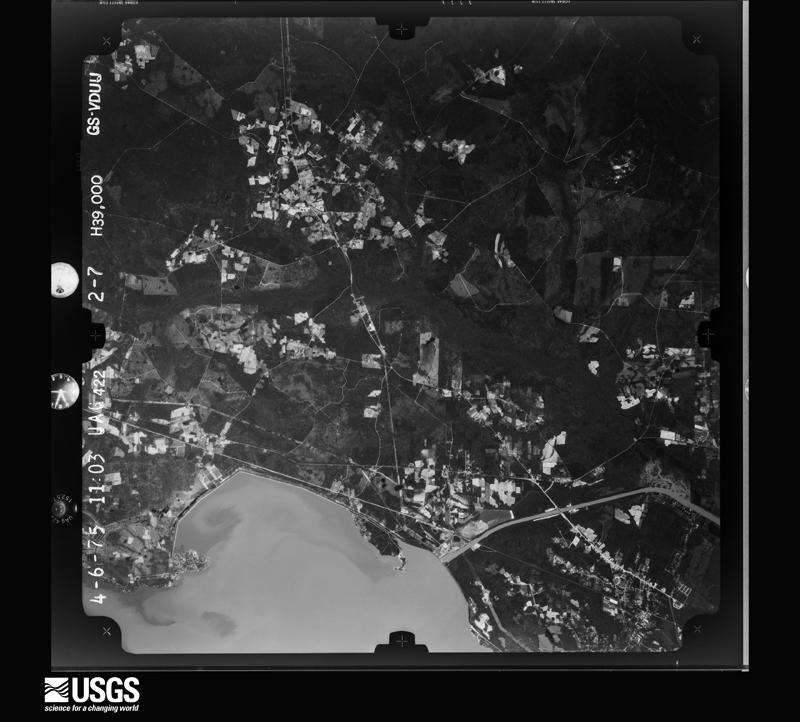
Flown by the U.S. Geological Survey between 1937 and 1989, the Aerial Photo Single Frames collection is the definitive mid-century view of the land: fields, roads and rivers as the camera saw them. The Survey holds 5,389 frames inside the rectangle that bounds this county; the 48 frames below were taken over the county itself, chosen across the decades of flights (at most four a year from that rectangle), so one flight cannot crowd out the rest. The full set is free to browse and download at EarthExplorer under the dataset Aerial Photo Single Frames.
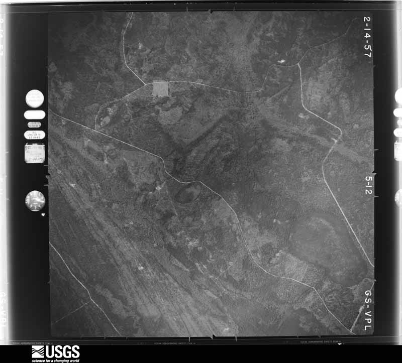



The thermometers that kept this county's weather, and the gages that measured the flow of its streams, as the federal records hold them. The extremes below are measured values from those records, not estimates.
Who lived here in 1950, one enumeration district at a time, as the Census Bureau described each district. Each row opens its official National Archives result, with Population Schedules and ED Maps available there.
Every wildfire the federal occurrence database records inside this county: 5,969 of them, burning about 71,707 acres. 70 started naturally and 1,895 were recorded as arson. Each settlement page carries the fires within five miles of it.
| Reported cause | Fires |
|---|---|
| Missing data/not specified/undetermined | 1977 |
| Arson/incendiarism | 1895 |
| Debris and open burning | 1583 |
| Misuse of fire by a minor | 143 |
| Equipment and vehicle use | 118 |
| Natural | 70 |
| Smoking | 61 |
| Railroad operations and maintenance | 39 |
| Recreation and ceremony | 26 |
| Power generation/transmission/distribution | 26 |
| Other causes | 20 |
| Fireworks | 11 |
The five largest, by the area the report gives. Four of them were set deliberately.
| Date | Cause | Size | Reported by | Name on the report |
|---|---|---|---|---|
| 26 February 2002 | Arson/incendiarism | 1,922 acres | Francis Marion & Sumter National Forests | MONKEY FACE |
| 29 January 2003 | Debris and open burning | 1,834 acres | Francis Marion & Sumter National Forests | LITTLE HELLHOLE |
| 2 April 2017 | Arson/incendiarism | 1,695 acres | Francis Marion & Sumter National Forests | TURN TABLE |
| 14 March 2018 | Arson/incendiarism | 1,630 acres | Francis Marion & Sumter National Forests | CUMBEE |
| 26 May 2019 | Missing data/not specified/undetermined | 1,600 acres | Francis Marion & Sumter National Forests | MEMORIAL |
| 25 February 2002 | Recreation and ceremony | 1,600 acres | South Carolina Forestry Commission | not named |
| 4 February 2017 | Recreation and ceremony | 1,115 acres | Francis Marion & Sumter National Forests | BULLHEAD |
| 30 March 1999 | Arson/incendiarism | 904 acres | Francis Marion & Sumter National Forests | BRICK CHURCH |
Every settlement page carries the fires within five miles of it - see the settlement index below.
The NOAA Storm Events Database holds 959 reports for this county, causing 3 deaths, 51 injuries and about $14,674,250 in recorded property damage. Each settlement page carries the reports that name it.
| Kind of event | Reports |
|---|---|
| Thunderstorm Wind | 470 |
| Hail | 335 |
| Flash Flood | 73 |
| Tornado | 39 |
| Lightning | 26 |
| Funnel Cloud | 11 |
| Heavy Rain | 3 |
| Flood | 2 |
The most serious of them, by death, then injury, then recorded damage. The accounts are quoted exactly as the forecast office filed them.
| When | Event | Place named | Harm | What the report says |
|---|---|---|---|---|
| May 1998 | Tornado (F2) | Ladson | 1 killed, 7 hurt, $5,000,000 | After two brief earler touchdowns in Dorchester County, the supercell crossed Interstate 26 into Berkeley County where the most extensive damage occurred. There were 442 homes damaged (17 destroyed, 113 major damage, and the remainder had minor damage. Areas hardest hit were Frankie Lane and Royale Road, where numerous mobile homes were located. There was a 90 year old female who was injured severely when her mobile home was flipped and throuwn more than 40 feet. She died several hours later. Several eye witnesses reported seeing vortices rotating around the main funnel. This fact was born out by the damage pattern in several areas. |
| June 2004 | Lightning | Moncks Corner | 1 killed, 1 hurt | Lightning struck a couple while they were riding a jet ski. The man was killed and the woman received minor injuries. |
| September 2000 | Flash Flood | North Portion | 1 killed, $25,000 | Water across roads and a couple of inches of water in eight homes. |
| September 1998 | Tornado (F2) | Moncks Corner | 9 hurt, $2,800,000 | Seventy-three (73) homes were damaged, fourteen mobile homes destroyed and seven (7) homes destroyed. The Fairlawn sobdivision, just southeast of Moncks corner was hardest hit. |
| March 2008 | Tornado (EF1) | Mt Holly | 7 hurt, $150,000 | An EF1 Tornado was confirmed by a Storm Survey conducted by the Charleston, South Carolina National Weather Service Forecast Office in Berkeley County near Mount Holly, South Carolina. The Tornado touched down at 825 PM EDT north of Mount Holly, South Carolina in the Strawberry Hill Mobile Home Park just east of Highway 52. The Tornado tracked 0.6 miles before lifting near Angel Lane. The maximum width of the Tornado was around 180 yards, with maximum sustained winds estimated to be between 100 and 110 mph. Extensive damage occurred to two mobile homes, moderate damage to six mobile homes, and minor damage to six additional mobile homes in the Strawberry Hill Mobile Home Park. There were seven injuries which resulted from the Tornado, with 3 individuals in need of additional treatment transported to a local hospital. Large trees were also observed to have been snapped off at the base or uprooted. |
| April 2020 | Tornado (EF3) | Moncks Corner | 6 hurt | The National Weather Service Storm Survey Team confirmed an EF-3 tornado with an estimated maximum wind speed of 145 mph just east of Moncks Corner, South Carolina. The tornado began in the Fairlawn Subdivision, just east of Moncks Corner. Several homes had significant damage along Old Fort Road and Dennis Boulevard. There was a home at the east end of Dennis Boulevard that had significant damage to justify the EF-3 tornado rating. There was also extensive snapping and uprooting of trees, as well as vehicle and trailer damage in the area. The tornado moved east-southeast, generally down Dennis Boulevard, then east across the west branch of the Cooper River, before turning east-northeast across South Carolina 402 and Cane Gully Road. At this location, a mobile home was completely destroyed and several other homes and structures sustained significant damage. The tornado then continued east-northeast snapping and uprooting trees, with significant damage to at least one home off of Myrtle Lane, and minor roof and siding damage to approximately four additional homes just south of Bullhead Road. The tornado then dissipated near the intersection of Myrtle Lane and Wright Road. This tornado was part of a family of tornadoes that began more than 100 miles to the southwest, in Screven County, Georgia. |
| June 2000 | Thunderstorm Wind | Moncks Corner | 6 hurt | Pontoon boat capsized on Lake Moultrie. All six passengers were safely rescued. |
| August 2024 | Tornado (EF1) | Moncks Corner | 2 hurt | A National Weather Service Storm Survey Team confirmed an EF1 tornado with an estimated maximum wind speed of 95 mph in Moncks Corner, South Carolina occurring from 153 AM to 200 AM EST.||The tornado, which originated in an outer rainband associated with Tropical Storm Debby, touched down just east of McCormick Circle, snapping two trees in the woods behind an Applebee's. The tornado then moved northwest, causing damage to the Applebee's sign and then turned west, flipping vehicles that led to 2 minor injuries. The tornado then continued on a west track, impacting an Arby's. This was the location of the strongest damage as numerous windows were blown out at the Arby's on both the west and east-facing sides of the building. The rooftop A/C was also blown into the Arby's parking lot. However, no other structural damage was noted and therefore the degree of damage was kept near the middle of the expected wind speed, or at 95 mph. The Walmart Supercenter to the northwest of Arby's also sustained some very minor roof fascia damage, which was starting to peel off from the main structure. The tornado then continued to move northwest and passed Mitton Road, where several trees were uprooted with a few branches greater than 3 inches in diameter broken. There was also a residence on Mitton Road that had roof damage to less than 20% of the structure. The tornado then moved northwest and weakened as it crossed Kitfield Road, where some branches (mostly 1-3 in diameter) were broken. There were also branches (1-3 in diameter) snapped northwest of this location on Lois Circle and Broughton Road. The tornado then continued a path northwest, before dissipating on the northern end of the Pinopolis Peninsula along the south end of Lake Moultrie. |
| August 2023 | Tornado (EF0) | Goose Creek | 2 hurt | The National Weather Service in collaborative efforts with emergency management confirmed an EF0 tornado with an estimated maximum wind speed of 75 mph in Berkeley County occurring from 1122 AM EST to 11:23 AM EST. Video evidence helped confirm a very brief and weak tornado developing within an outer rainband of Hurricane Idalia touching down near the intersection of Camelot Drive and South Goose Creek Boulevard, flipping one car on South Goose Creek Boulevard. Police reported two people inside the flipped vehicle were transported to the hospital for minor injuries. |
| July 2010 | Lightning | Goose Creek | 2 hurt | Law enforcement reported that lightning struck, knocking over 2 males, ages 17 and 21, sending one to the hospital. They were outside playing football at the time of the lightning strike. |
| October 1989 | Thunderstorm Wind | not stated | 2 hurt | no account filed |
| June 2008 | Tornado (EF0) | Pigeon Bay | 1 hurt, $20,000 | The National Weather Service office in Charleston, South Carolina completed a damage survey in Berkeley county and determined that an EF-0 Tornado with 70 to 80 mph winds occurred. The Tornado touched down near the intersection of Groomstown Road and Endless Lane, then moved northward along Groomstown Road. The path of the Tornado was 1/3 of a mile long and 75 yards wide. Four mobile homes sustained minor damage. One large and one small tree were uprooted, and many limbs were snapped off of trees. A large tree split near the bottom of the trunk and one power pole was snapped off. One large chicken coop was lifted off the ground and moved 6 to 8 inches. One lightweight aluminum shed was blown 150 feet away and destroyed. One car was pushed 25 to 30 feet by the wind. Several small wooden pump houses approximately 6 feet by 6 feet were destroyed. Baseball size hail was also reported by those interviewed during the storm survey. There was one injury reported with this Tornado. |
| June 2006 | Tornado (F0) | Cross | 1 hurt, $20,000 | NWS damage survey confirms F0 tornado touchdown near the intersection of Mudville Road and Highway 311. Path was 3/4 mile long and path width was 150 yards wide. There was tree damage, damage to a house, a shed was destroyed, and damage to a carport. Injury occured when a large tree limb dropped onto car. Wind speeds are estimated at 60 to 70 mph. |
| February 1956 | Tornado (F1) | not stated | 1 hurt, $2,500 | no account filed |
| June 2013 | Thunderstorm Wind | Ladson | 1 hurt, $500 | Sub severe winds of 40 to 50 mph broke off a large branch of a diseased tree at a golf course. The branch landed on a golfer who was injured and taken to a hospital. |
| June 2024 | Thunderstorm Wind | Ladson | 1 hurt | A National Weather Service Storm Survey Team confirmed straight-line thunderstorm wind damage with an estimated maximum wind speed of 80 to 85 mph along a path approximately 8.75 miles long and 3.5 miles wide beginning in east-central Dorchester County at 642 PM, then tracking across extreme western Charleston County starting at 645 PM, before ending across west-central Berkeley County at 658 PM.||In Berkeley County, the survey team found isolated to scattered damage, most of which consisted of large softwood trees snapped and uprooted and some hardwood tree limbs snapped across eastern portions of Summerville to around Main Street on the north side of Sangaree and south across Ladson and into the College Park area, ending as far east as Highway 176. One area of extensive damage occurred around Wisteria Street and the Tall Pines Neighborhood along Interstate 26 on the north side of Ladson. Within this area, both soft and hardwood trees were observed to have snapped near the trunks, several of which fell on residences and vehicles. Additionally, some minor damage to residential property was observed, including shingles and siding blown off and privacy fences blown down. The path of damage continued east-northeastward from the Tall Pines Neighborhood where a tree was reported down on a vehicle along with damage to a fence and siding in the Hunter's Bend Neighborhood before the path of damage continued across much of the College Park area. A Berkeley County emergency manager indicated at least 28 homes damaged by falling trees in the College Park vicinity and a pole barn significantly damaged along Cindy Drive. One female was reported injured when a tree fell on her residence on College Park Drive. Emergency management also reported at least 18 additional downed trees and power lines in the area not directly impacting homes. The damage path then continued east-northward across Fairfax and Oakbrook Neighborhoods where a Berkeley County emergency manager indicated numerous trees down on roadways, homes and cars, before the damage path ended near Highway 176 at 658 PM. Based on the uniform damage direction (north to northeast), a strong downburst producing straight-line winds was determined to be the cause of the event. |
| July 2010 | Lightning | Goose Creek | 1 hurt | Law enforcement reported that a 12 year old boy was struck by lightning in Goose Creek, South Carolina. The child was holding an umbrella when struck. He was in serious but stable condition and was transported to the Medical University of South Carolina for further evaluation. |
| May 2006 | Lightning | Hanahan | 1 hurt | Lightning struck a vehicle on I-526 on Daniel Island. 1 injury. |
| October 2015 | Flash Flood | Goose Creek | $647,620 | Law enforcement reported flood waters in homes on Lindy Creek Road. |
| October 2015 | Flash Flood | Ladson | $647,620 | Law enforcement reported roads closed due to flooding in the College Park and Sangaree area. Roads closed included Oxford Road where water was flowing over a bridge, Trinity Place and Highway 78 at the intersection with Bell Wright Road. |
| October 2015 | Flash Flood | Inness | $647,620 | Law enforcement and Naval Weapons Station personnel reported several road closures due to flooding around the Goose Creek area. Roads closed due to flooding included Old Tom Road and Pulaski Street to Von Steuben Street on the Naval Weapons Station, Highway 17A at the intersection with Gants Road, Old Mount Holly Road near Lowes, the 300 block of Anita Drive and Cypress Gardens Road at the intersection with U.S. Highway 52. Knee deep water was also reported at the intersection of Bridgetown Road and Springhall Drive and five feet of water was reported in a structure in College Park, resulting in occupants having to move to the second floor. |
| October 2015 | Flash Flood | Cherry Hill | $647,620 | Law enforcement and social media indicated several roads and bridges closed due to flooding from St Stephen to Moncks Corner. Ongoing rescues were also being reported from homes along Whitesville Road with many surrounding roads closed due to flooding during the early morning hours of October 4th. Additional roads closed included Highway 17A near Wadboo Creek where water was overflowing the road and Highway 45 near St Stephen where the road was washed out. A bridge on Spring Grove Road was damaged due to flooding near the intersection of Potato Hill Lane. A bridge was also damaged on Gravel Hill Road due to flooding. Another bridge on Betsy Hole Road was flooded and possibly damaged. Water was also entering a home on East Church Street near Bonneau. |
| October 2015 | Flash Flood | Kensington | $647,620 | An emergency manager, law enforcement and the Coast Guard reported several roads closed and swift water rescues being made due to flooding between Huger, SC and Cainhoy, SC. Swift water rescues were underway in the Cainhoy area where cars were also reported floating in high water during early morning hours of October 4th. The Coast Guard released a video of an aerial rescue of a woman and infant child from a flooded house in Huger during the late morning hours of October 4th. The video also depicted widespread flooding of structures in the surrounding area. The intersection of Highway 41 and Highway 402 was also reported closed due to flooding. |
| October 2015 | Flash Flood | Carnes Xrd | $647,620 | Social media users posted photos and videos of Gross Avenue washed out with water overrunning the remaining road surface between Farrell Street and Hickory Hill Drive. |
| October 2015 | Flash Flood | Kittridge Xrds | $647,620 | Law enforcement reported several roads closed due to flooding. Roads closed included Jedburg Road at a bridge between Riley Lane and Ernies Way, Old Whitesville Road and Cypress Gardens road from Old Highway 52 to the boat landing. Rising water was also reported on the Interstate 26 on and off ramps at College Park Road. A tree was also reported down across Old Highway 52 near the Berkeley Country Club. |
| September 1994 | Thunderstorm Wind | Ladson | $500,000 | Trees down, 10 roofs damaged, chimney destroyed in College Park Subdivision in Ladson area, 18 miles NNW Charleston. Damaged estimated at $60,000. |
| March 2008 | Tornado (EF1) | Cedar Hill | $200,000 | An EF1 Tornado was confirmed by a Storm Survey conducted by the Charleston, South Carolina National Weather Service Forecast Office in Berkeley County near Cainhoy, South Carolina. At 836 PM EDT, a Tornado touched down in a plantation west of Cainhoy Road and continued to track 1.2 miles before lifting. The maximum path width was around 135 yards, with maximum sustained winds estimated between 95 and 105 mph. The Tornado severely damaged a large storage shed and knocked down several large trees as it crossed the plantation. The Tornado then crossed Cainhoy Road and struck the Mount Zion Methodist Church. The church suffered complete failure of the front porch and had a portion of the roof deck uplifted and the steeple knocked over. Portions of the outer brick wall also suffered significant damage. The Tornado then continued into a field behind the church before lifting. |
| June 2009 | Tornado (EF0) | The Farms | $150,000 | A National Weather Service storm survey team confirmed an EF-0 Tornado in Hanahan, South Carolina. Based on eyewitness reports and a survey of the damage, an EF-0 Tornado developed over Turkey Creek and tracked south-southeast for about 0.25 miles along the marsh just to the east of east Recess Road and west of Dennis Drive before dissipating. ||Straight-line winds produced extensive tree damage adjacent to the short path of the Tornado, along a 0.75 mile wide area extending from east Recess Road to Steward Street and along a length of approximately 0.70 miles extending from Turkey Creek to Meadowcliff Avenue. Numerous large trees were knocked down, tops of many trees were sheared off and tops of some power poles were broken off. There was minor damage to several homes and other structures, mainly a result of the fallen trees and tree limbs. South Carolina Electric and Gas reported nearly 3500 customers were without power after the storm as a result of the downed power lines. Along with the damaging winds, the public also reported quarter to golf ball size hail. |
| May 2006 | Lightning | Cross | $150,000 | House struck by lightning with significant damage caused by fire. |
| May 2006 | Lightning | Bonneau | $100,000 | Lightning struck house and caught it on fire. |
| May 2019 | Lightning | Moncks Corner | $50,000 | Lightning struck and caused a fire at the Nazareth Reformed Episcopal Church on West End Drive in Moncks Corner. The fire was contained to the front of the church, but the church's steeple collapsed backward into the structure. |
| August 2009 | Thunderstorm Wind | Ladson | $50,000 | A National Weather Service Damage Survey Team evaluated damage which occurred at Charleston Southern University, near College Park, South Carolina. The survey teams findings included, three large trees and numerous large tree limbs were blown down and an air conditioning unit sustained structural damage. The damage path was estimated to be a half mile long and a quarter mile wide. Damage was consistent with a downburst with winds estimated to be between 60 and 70 mph. |
| April 2006 | Thunderstorm Wind | Goose Creek | $50,000 | Tree down on residence on Cannon Ave. |
| July 2006 | Thunderstorm Wind | Bonneau | $50,000 | Several boats flipped over by high winds near the Overton neighborhood. |
| April 1999 | Tornado (F1) | Huger | $50,000 | no account filed |
| August 2015 | Flash Flood | Goose Creek | $37,500 | The Berkeley County 911 Call Center reported flooding on Lighthouse Drive and Pineshadow Drive in Goose Creek. Three cars were also flooded. Flooding was also reported at the intersection of Howe Hall and Keyes Lane. One car was also stalled at the intersection. A ham radio operator also relayed a report of car submerged in water and floating at the intersection of Crystal Springs Drive and Tarpon Street. |
| July 2013 | Flash Flood | Goose Creek | $30,000 | Westview Blvd, near Pineview Road and all of Springhall Road near Crowfield Blvd was closed due to flooding. Several cars were flooded. An NWS employee reported 6.53 inches of rain within a 3 hour period. |
| June 1997 | Flash Flood | Hanahan | $30,000 | no account filed |
| June 2015 | Flash Flood | Inness | $25,000 | Berkeley County dispatch reported that Harbour Lake Road is closed between Lighthouse Drive and Pineshadow Drive. Multiple cars were flooded and water was starting to come up to buildings. Also, several cars were reported flooded near the intersection of River Avenue and Otranto. Other flooded roadways included Henry E Brown Jr Boulevard near Stanhope Road. |
| February 2010 | Lightning | Remleys | $25,000 | A newspaper article indicated that a house fire was started by lightning on Pagett Street in Daniel Island, South Carolina. The fire caused considerable damage to the house according to the article. |
| May 2006 | Thunderstorm Wind | Goose Creek | $25,000 | Tree down on a house in the Forest Lawn subdivision. |
| April 1950 | Tornado (F1) | not stated | $25,000 | no account filed |
| August 2025 | Flood | Carnes Xrd | $20,000 | A Berkeley County emergency manager reported one eastbound and one westbound lane of Interstate 26 impassible due to flooding near the intersection with Jedburg Road. A motorist was also rescued from a vehicle in the median with water up to the roof. |
| August 2024 | Flash Flood | Cordesville | $20,000 | Berkeley County Emergency Management reported a washout of Cane Gulley Road near Highway 402. |
| July 2013 | Flash Flood | Ladson | $20,000 | Trinity Road flooded and impassable. Bridge completely submerged. Oxford Road was also impassable. |
| July 2006 | Thunderstorm Wind | Chicora | $20,000 | Tree down on house. Powerlines down. |
| December 2015 | Tornado (EF0) | Moncks Corner Arpt | $18,000 | The National Weather Service office in Charleston, South Carolina examined photographs provided by Berkeley County Emergency Management and drone footage provided by Skyview Aerial Solutions LLC to determine an EF0 tornado with estimated maximum wind speeds around 70 mph occurred for one minute at Carolina Nurseries, about 3 miles south southwest of Moncks Corner, South Carolina. The tornado initially formed at or near Emerald Isle Drive. Straight-line wind damage just south of this road included numerous wooden pallets that were tossed toward the northeast. A telephone pole was blown over and a two by six piece of wood pierced the east side of a building just north of Emerald Isle Drive. Roofing material was also missing from a building situated just north of Emerald Isle Drive. Emergency management personnel reported a 200 square foot shed destroyed with its roof found 300 feet from the original location. Multiple carts weighing 150 pounds each were also tossed away from the shed sight. Vegetation revealed a swirling, convergent damage signature produced by a weak tornadic circulation farther north-northeast along the tornado path. |
| August 2025 | Lightning | Goose Creek | $15,000 | Emergency management and local media reports indicated a lightning strike causing a house fire to a townhome on Pine Shadow Drive in Goose Creek. Damage to a chimney could be seen on a video. |
| July 2022 | Lightning | Mt Holly | $15,000 | A trained spotter reported a lightning strike on Central Avenue that caused damage to a main water line. |
| September 2019 | Flash Flood | Inness | $15,000 | Berkeley County dispatch reported significant erosion under the bridge on Old Back River Road where it crosses Foster Creek. The road was deemed unsafe for travel due to the flood induced erosion which made the roadway unstable. |
| July 2016 | Lightning | Remleys | $15,000 | A trained spotter reported that a house was struck by lightning in the 1000 block of Beresford Run. The home was damaged by the strike. |
| July 2025 | Lightning | The Barrows | $10,000 | Berkeley County Emergency Management reported that a lightning strike caused a house fire at a home on Hydra Lane. |
| July 2013 | Flash Flood | Mt Holly | $10,000 | Warning Point reported flooding at the intersection of Crowfield Blvd and Corporate Blvd. 1 water rescue was needed. |
| July 2013 | Flash Flood | Carnes Xrd | $10,000 | Warning Point reported flooding at the intersection of TJ Lane and College Park Road. 1 water rescue was needed. |
| May 2013 | Lightning | Goose Creek | $10,000 | Lightning struck a house and caused a fire on Cannon Avenue. |
| May 2006 | Thunderstorm Wind | Carnes Xrd | $10,000 | Numerous trees down on the east side of Summerville. |
| August 2006 | Lightning | Moncks Corner | $10,000 | Lightning struck a tree, knocking it down and damaging two vehicles at the Piggly Wiggly grocery store in Moncks Corner. |
| January 1995 | Thunderstorm Wind | Cross and | $10,000 | Trees down on power lies and across roads. |
| April 1995 | Hail | St. Stephens | $10,000 | St. Stephens Police reported that hail covered ground. |
| July 2012 | Thunderstorm Wind | St Stephen | $8,000 | Fire Department personnel witnessed a roof blown off a 14 by 80 foot trailer along mendel river road. 6 to 8 full pine trees were also blown down at the same location. |
The Survey's mineral resources record lists 26 workings inside this county. 5 still produce and 21 are closed or unrecorded. Each settlement page carries the workings within five miles of it.
| Commodity | Workings |
|---|---|
| Sand and Gravel, Construction | 9 |
| Clay | 9 |
| Limestone, General, Stone, Crushed/Broken | 2 |
| Titanium, Iron | 1 |
| Sand and Gravel, Construction, Clay | 1 |
| Limestone, General | 1 |
| Stone, Crushed/Broken, Limestone, General | 1 |
| Calcium | 1 |
| Aluminum, Contained or Metal | 1 |
| Stone, Crushed/Broken | 1 |
| Limestone, Dimension | 1 |
| Sand | 1 |
The least common of them first, because a county's hundredth gravel pit says nothing its first ten did not.
| Where | Site | Commodity | Status | Recorded |
|---|---|---|---|---|
| Bass Quarry | Limestone, Dimension | Past Producer | ||
| Berkeley | Sand | Unknown | Sedimentary | |
| Berkeley Quarry | Limestone, General | Producer | Sedimentary | |
| Berkeley Quarry | Stone, Crushed/Broken | Producer | ||
| Consolidated Pit Number 2 | Sand and Gravel, Construction, Clay | Unknown | Sedimentary | |
| Cross Quarry | Stone, Crushed/Broken, Limestone, General | Unknown | Sedimentary | |
| Mount Holly Aluminum Plant | Aluminum, Contained or Metal | Plant | 1980 | |
| Wando Quadrangle | Titanium, Iron | Unknown | Placer , Modern , Beach | |
| Wares Sante Hi Cal Lime Mine | Calcium | Producer | ||
| Schirmer Quarry | Limestone, General, Stone, Crushed/Broken | Unknown | Sedimentary | |
| Ware Quarry | Limestone, General, Stone, Crushed/Broken | Unknown | Sedimentary | |
| Consolidated Enterprises Clay Mine | Clay | Past Producer | Sedimentary | |
| Consolidated Pit Number 1 | Sand and Gravel, Construction, Clay | Past Producer | ||
| Consolidated Pit Number 2 | Sand and Gravel, Construction, Clay | Past Producer | ||
| Cross Country Mine | Sand and Gravel, Construction | Producer | ||
| Dorchester Brick Clay Pit | Clay | Past Producer | Sedimentary | |
| Highway 27 Pit | Sand and Gravel, Construction | Unknown | Sedimentary | |
| Kenyon Mine East | Clay | Unknown | Sedimentary | |
| Kenyon Mine East | Clay | Past Producer | ||
| Kenyon Mine West | Clay | Past Producer | ||
| Santee Minerals Mine | Sand and Gravel, Construction | Past Producer | Sedimentary | |
| St Stephens Pit | Sand and Gravel, Construction | Past Producer | ||
| St. Stephens Brick Co Pit | Clay | Past Producer | 1961 | |
| Unnamed Sand/Clay Pit | Sand and Gravel, Construction | Past Producer | Sedimentary | |
| Ware Brothers Pit | Sand and Gravel, Construction | Unknown | Sedimentary | |
| Ware Brothers Pit | Sand and Gravel, Construction, Clay | Past Producer |
Named settlements recorded in the Geographic Names Information System, each with the topographic sheets covering it. Villages, hamlets and abandoned places alike. Each is shown with the nearest named watercourse or landform and the survey quadrangle it falls on.
Bonneau census division · 29479 · On Beauford Branch · Alvin quadrangle
9 sheets, 1943 to 1990
Goose Creek-Hanahan census division · 29410 · On Turkey Creek · Ladson quadrangle
23 sheets, 1919 to 1990
Goose Creek-Hanahan census division · 29410 · On Turkey Creek · Ladson quadrangle
23 sheets, 1919 to 1990
Cordesville census division · 29453 · On Persimmon Branch · Jamestown quadrangle
8 sheets, 1943 to 1986
Goose Creek-Hanahan census division · 29445 · On Lindley Branch · Mount Holly quadrangle
19 sheets, 1919 to 1990
Goose Creek-Hanahan census division · 29486 · Summerville NW quadrangle
18 sheets, 1919 to 1990
No longer a settlement
Moncks Corner census division · 29461 · On Stony Branch · Moncks Corner quadrangle
18 sheets, 1919 to 1990
No longer a settlement
Goose Creek-Hanahan census division · 29445 · Mount Holly quadrangle
19 sheets, 1919 to 1990
Cordesville census division · 29461 · On Biggin Creek · Cordesville quadrangle
12 sheets, 1919 to 1986
No longer a settlement
Cordesville census division · 29434 · Bethera quadrangle
11 sheets, 1919 to 1986
No longer a settlement
Wando census division · 29492 · On Fogarty Creek · Cainhoy quadrangle
18 sheets, 1919 to 1990
Goose Creek-Hanahan census division · 29445 · On Lindley Branch · Ladson quadrangle
23 sheets, 1919 to 1990
Goose Creek-Hanahan census division · 29486 · Mount Holly quadrangle
19 sheets, 1919 to 1990
Goose Creek-Hanahan census division · 29456 · On Stroberfield Branch · Mount Holly quadrangle
19 sheets, 1919 to 1990
Goose Creek-Hanahan census division · 29445 · Near Persimmon Hill · Mount Holly quadrangle
19 sheets, 1919 to 1990
No longer a settlement
Wando census division · 29450 · On French Quarter Creek · Kittredge quadrangle
12 sheets, 1919 to 1986
Goose Creek-Hanahan census division · 29461 · On Tillmans Branch · Mount Holly quadrangle
19 sheets, 1919 to 1990
Cross census division · 29436 · Chicora quadrangle
18 sheets, 1920 to 1990
No longer a settlement
Bonneau census division · 29461 · On Mingo Branch · Cordesville quadrangle
12 sheets, 1919 to 1986
Cordesville census division · 29461 · On Big Dam Lead · Kittredge quadrangle
12 sheets, 1919 to 1986
Moncks Corner census division · 29461 · On Molly Branch · Mount Holly quadrangle
19 sheets, 1919 to 1990
No longer a settlement
Goose Creek-Hanahan census division · 29456 · On Limehouse Branch · Mount Holly quadrangle
19 sheets, 1919 to 1990
Goose Creek-Hanahan census division · 29445 · On Lindley Branch · Mount Holly quadrangle
19 sheets, 1919 to 1990
Cordesville census division · 29461 · On Comingtee Creek · Kittredge quadrangle
12 sheets, 1919 to 1986
Cordesville census division · 29434 · On Kutz Creek · Bethera quadrangle
11 sheets, 1919 to 1986
No longer a settlement
Cross census division · 29436 · Eadytown quadrangle
18 sheets, 1920 to 1990
No longer a settlement
Moncks Corner census division · 29445 · On Freshing Lead · Kittredge quadrangle
12 sheets, 1919 to 1986
Cross census division · 29436 · Near Nelson Hill · Cross quadrangle
18 sheets, 1920 to 1990
Goose Creek-Hanahan census division · 29410 · On Turkey Creek · North Charleston quadrangle
16 sheets, 1919 to 1998
Goose Creek-Hanahan census division · 29486 · On King Branch · Mount Holly quadrangle
19 sheets, 1919 to 1990
St. Stephen census division · 29468 · Near Pintail Island · Eadytown quadrangle
18 sheets, 1920 to 1990
Cordesville census division · 29461 · On Mepkin Creek · Kittredge quadrangle
12 sheets, 1919 to 1986
Goose Creek-Hanahan census division · 29445 · Near Persimmon Hill · Mount Holly quadrangle
19 sheets, 1919 to 1990
29510 · On Ponteaux Branch · Blakely quadrangle
9 sheets, 1943 to 1990
No longer a settlement
Goose Creek-Hanahan census division · 29461 · On Tillmans Branch · Mount Holly quadrangle
19 sheets, 1919 to 1990
Moncks Corner census division · 29461 · Mount Holly quadrangle
19 sheets, 1919 to 1990
No longer a settlement
Goose Creek-Hanahan census division · 29445 · Near Persimmon Hill · Mount Holly quadrangle
19 sheets, 1919 to 1990
Moncks Corner census division · 29461 · Moncks Corner quadrangle
18 sheets, 1919 to 1990
Goose Creek-Hanahan census division · 29456 · On Stroberfield Branch · Mount Holly quadrangle
19 sheets, 1919 to 1990
Wando census division · 29492 · On Martin Creek · North Charleston quadrangle
16 sheets, 1919 to 1998
No longer a settlement
Goose Creek-Hanahan census division · 29410 · On Turkey Creek · North Charleston quadrangle
16 sheets, 1919 to 1998
Goose Creek-Hanahan census division · 29445 · Ladson quadrangle
23 sheets, 1919 to 1990
St. Stephen census division · 29431 · On Fox Swamp · Bonneau quadrangle
9 sheets, 1943 to 1990
No longer a settlement
Cordesville census division · 29453 · Honey Hill quadrangle
9 sheets, 1942 to 1986
No longer a settlement
Moncks Corner census division · 29461 · Moncks Corner quadrangle
18 sheets, 1919 to 1990
No longer a settlement
Goose Creek-Hanahan census division · 29461 · On Poplar Branch · Mount Holly quadrangle
19 sheets, 1919 to 1990
Goose Creek-Hanahan census division · 29486 · On King Branch · Mount Holly quadrangle
19 sheets, 1919 to 1990
Wando census division · 29450 · On French Quarter Creek · Kittredge quadrangle
12 sheets, 1919 to 1986
Wando census division · 29450 · On West Branch Cooper River · Kittredge quadrangle
12 sheets, 1919 to 1986
Goose Creek-Hanahan census division · 29445 · Ladson quadrangle
23 sheets, 1919 to 1990
Cordesville census division · 29431 · Alvin quadrangle
9 sheets, 1943 to 1990
No longer a settlement
Goose Creek-Hanahan census division · 29410 · On Turkey Creek · Ladson quadrangle
23 sheets, 1919 to 1990
Goose Creek-Hanahan census division · 29486 · On King Branch · Mount Holly quadrangle
19 sheets, 1919 to 1990
Goose Creek-Hanahan census division · 29445 · On Lindley Branch · Ladson quadrangle
23 sheets, 1919 to 1990
Goose Creek-Hanahan census division · 29445 · On Canterhill Swamp · Mount Holly quadrangle
19 sheets, 1919 to 1990
Cross census division · 29472 · Pringletown quadrangle
18 sheets, 1919 to 1990
No longer a settlement
Goose Creek-Hanahan census division · 29445 · On Lindley Branch · Mount Holly quadrangle
19 sheets, 1919 to 1990
Cordesville census division · 29450 · On York Bottom Creek · Huger quadrangle
13 sheets, 1919 to 1986
Cordesville census division · 29434 · On Alligator Creek · Bethera quadrangle
11 sheets, 1919 to 1986
Moncks Corner census division · 29461 · On California Branch · Cordesville quadrangle
12 sheets, 1919 to 1986
No longer a settlement
Goose Creek-Hanahan census division · 29410 · On Turkey Creek · North Charleston quadrangle
16 sheets, 1919 to 1998
Cross census division · 29472 · On Mill Branch · Summerville NW quadrangle
18 sheets, 1919 to 1990
Cross census division · 29436 · Cross quadrangle
18 sheets, 1920 to 1990
No longer a settlement
Cordesville census division · 29434 · On Alligator Creek · Bethera quadrangle
11 sheets, 1919 to 1986
Moncks Corner census division · 29461 · On Stony Branch · Moncks Corner quadrangle
18 sheets, 1919 to 1990
No longer a settlement
Goose Creek-Hanahan census division · 29461 · On Partridge Creek · Summerville NW quadrangle
18 sheets, 1919 to 1990
Goose Creek-Hanahan census division · 29445 · On Lindley Branch · Ladson quadrangle
23 sheets, 1919 to 1990
St. Stephen census division · 29479 · On Mattassee Branch · Blakely quadrangle
9 sheets, 1943 to 1990
No longer a settlement
Goose Creek-Hanahan census division · 29410 · On Turkey Creek · North Charleston quadrangle
16 sheets, 1919 to 1998
No longer a settlement
Goose Creek-Hanahan census division · 29445 · North Charleston quadrangle
16 sheets, 1919 to 1998
Cordesville census division · 29461 · On Mepkin Creek · Kittredge quadrangle
12 sheets, 1919 to 1986
Moncks Corner census division · 29461 · On Biggin Creek · Cordesville quadrangle
12 sheets, 1919 to 1986
Moncks Corner census division · 29461 · Moncks Corner quadrangle
18 sheets, 1919 to 1990
Wando census division · 29450 · On Freshing Lead · Kittredge quadrangle
12 sheets, 1919 to 1986
Wando census division · 29450 · On Freshing Lead · Kittredge quadrangle
12 sheets, 1919 to 1986
Cross census division · 29436 · Near Pintail Island · Eadytown quadrangle
18 sheets, 1920 to 1990
No longer a settlement
Goose Creek-Hanahan census division · 29461 · On Canterhill Swamp · Mount Holly quadrangle
19 sheets, 1919 to 1990
Cross census division · 29436 · On Williams Branch · Cross quadrangle
18 sheets, 1920 to 1990
No longer a settlement
Moncks Corner census division · 29461 · Moncks Corner quadrangle
18 sheets, 1919 to 1990
St. Stephen census division · 29468 · Pineville quadrangle
18 sheets, 1920 to 1990
No longer a settlement
Cross census division · 29436 · On Nelson Hill · Cross quadrangle
18 sheets, 1920 to 1990
Goose Creek-Hanahan census division · 29486 · On Smith Branch · Summerville quadrangle
19 sheets, 1919 to 1990
Goose Creek-Hanahan census division · 29486 · On Smith Branch · Summerville quadrangle
19 sheets, 1919 to 1990
Cordesville census division · 29453 · On Pole Branch · Honey Hill quadrangle
9 sheets, 1942 to 1986
St. Stephen census division · 29479 · On Big Bay Branch · Saint Stephen quadrangle
9 sheets, 1943 to 1990
No longer a settlement
Cordesville census division · 29450 · Near Barnett Island · Shulerville quadrangle
8 sheets, 1943 to 1986
Goose Creek-Hanahan census division · 29461 · On Stony Branch · Moncks Corner quadrangle
18 sheets, 1919 to 1990
Goose Creek-Hanahan census division · 29486 · On King Branch · Mount Holly quadrangle
19 sheets, 1919 to 1990
Moncks Corner census division · 29461 · On Molly Branch · Mount Holly quadrangle
19 sheets, 1919 to 1990
Cordesville census division · 29461 · On Mary Anne Branch · Cordesville quadrangle
12 sheets, 1919 to 1986
Wando census division · 29492 · Cainhoy quadrangle
18 sheets, 1919 to 1990
No longer a settlement
Cordesville census division · 29453 · On Devils Lodge Branch · Jamestown quadrangle
8 sheets, 1943 to 1986
Cross census division · 29436 · Cross quadrangle
18 sheets, 1920 to 1990
No longer a settlement
Moncks Corner census division · 29461 · On Molly Branch · Kittredge quadrangle
12 sheets, 1919 to 1986
Goose Creek-Hanahan census division · 29486 · On Tillmans Branch · Mount Holly quadrangle
19 sheets, 1919 to 1990
Goose Creek-Hanahan census division · 29445 · Kittredge quadrangle
12 sheets, 1919 to 1986
Goose Creek-Hanahan census division · 29445 · On Lindley Branch · Ladson quadrangle
23 sheets, 1919 to 1990
Cordesville census division · 29453 · On Gal Branch · Honey Hill quadrangle
9 sheets, 1942 to 1986
Cordesville census division · 29453 · On Velvet Branch · Honey Hill quadrangle
9 sheets, 1942 to 1986
Goose Creek-Hanahan census division · 29445 · Ladson quadrangle
23 sheets, 1919 to 1990
Cordesville census division · 29453 · On Mill Creek · Cedar Creek quadrangle
8 sheets, 1942 to 1986
Bonneau census division · 29461 · On Island Branch · Bonneau quadrangle
9 sheets, 1943 to 1990
Cordesville census division · 29434 · On Fourth of July Branch · Bethera quadrangle
11 sheets, 1919 to 1986
No longer a settlement
Goose Creek-Hanahan census division · 29445 · On Back River · North Charleston quadrangle
16 sheets, 1919 to 1998
St. Stephen census division · 29468 · On Johns Run · Pineville quadrangle
18 sheets, 1920 to 1990
No longer a settlement
Wando census division · 29492 · Near Daniel Island · Charleston quadrangle
18 sheets, 1919 to 1994
No longer a settlement
Cordesville census division · 29461 · On Durham Creek · Kittredge quadrangle
12 sheets, 1919 to 1986
Cordesville census division · 29434 · On Mayrant Lead · Kittredge quadrangle
12 sheets, 1919 to 1986
Goose Creek-Hanahan census division · 29445 · Ladson quadrangle
23 sheets, 1919 to 1990
Goose Creek-Hanahan census division · 29486 · On Partridge Creek · Summerville NW quadrangle
18 sheets, 1919 to 1990
No longer a settlement
Goose Creek-Hanahan census division · 29486 · Summerville quadrangle
19 sheets, 1919 to 1990
St. Stephen census division · 29479 · Saint Stephen quadrangle
9 sheets, 1943 to 1990
No longer a settlement
Bonneau census division · 29461 · On Mingo Branch · Cordesville quadrangle
12 sheets, 1919 to 1986
Cordesville census division · 29431 · On Persimmon Branch · Alvin quadrangle
9 sheets, 1943 to 1990
Moncks Corner census division · 29461 · On Molly Branch · Mount Holly quadrangle
19 sheets, 1919 to 1990
Goose Creek-Hanahan census division · 29445 · On Lindley Branch · Mount Holly quadrangle
19 sheets, 1919 to 1990
Cordesville census division · 29453 · On Beaman Branch · Shulerville quadrangle
8 sheets, 1943 to 1986
Cordesville census division · 29453 · On Devils Lodge Branch · Shulerville quadrangle
8 sheets, 1943 to 1986
Bonneau census division · 29461 · On Mingo Branch · Cordesville quadrangle
12 sheets, 1919 to 1986
Wando census division · 29450 · On Pinckney Reserve Branch · Huger quadrangle
13 sheets, 1919 to 1986
Goose Creek-Hanahan census division · 29483 · Summerville quadrangle
19 sheets, 1919 to 1990
Cordesville census division · 29434 · On Fourth of July Branch · Bethera quadrangle
11 sheets, 1919 to 1986
No longer a settlement
Cordesville census division · 29450 · On Negro Field Branch · Huger quadrangle
13 sheets, 1919 to 1986
No longer a settlement
Cross census division · 29436 · Eadytown quadrangle
18 sheets, 1920 to 1990
No longer a settlement
Goose Creek-Hanahan census division · 29445 · Kittredge quadrangle
12 sheets, 1919 to 1986
No longer a settlement
Moncks Corner census division · 29461 · On Biggin Creek · Cordesville quadrangle
12 sheets, 1919 to 1986
Goose Creek-Hanahan census division · 29445 · Near Persimmon Hill · Mount Holly quadrangle
19 sheets, 1919 to 1990
Moncks Corner census division · 29461 · On Durham Creek · Kittredge quadrangle
12 sheets, 1919 to 1986
St. Stephen census division · 29479 · On Lifeland Branch · Saint Stephen quadrangle
9 sheets, 1943 to 1990
Goose Creek-Hanahan census division · 29456 · On Stroberfield Branch · Mount Holly quadrangle
19 sheets, 1919 to 1990
Goose Creek-Hanahan census division · 29461 · On Stony Branch · Moncks Corner quadrangle
18 sheets, 1919 to 1990
Moncks Corner census division · 29461 · On Stony Branch · Moncks Corner quadrangle
18 sheets, 1919 to 1990
Goose Creek-Hanahan census division · 29410 · On Turkey Creek · Ladson quadrangle
23 sheets, 1919 to 1990
Cordesville census division · 29453 · Jamestown quadrangle
8 sheets, 1943 to 1986
No longer a settlement
Goose Creek-Hanahan census division · 29486 · Summerville quadrangle
19 sheets, 1919 to 1990
Cordesville census division · 29453 · Near Dawson Ridge · Shulerville quadrangle
8 sheets, 1943 to 1986
Cordesville census division · 29461 · On Bullhead Run · Cordesville quadrangle
12 sheets, 1919 to 1986
Cordesville census division · 29453 · On Devils Lodge Branch · Jamestown quadrangle
8 sheets, 1943 to 1986
Goose Creek-Hanahan census division · 29486 · On Miller Dam Branch · Summerville quadrangle
19 sheets, 1919 to 1990
Moncks Corner census division · 29461 · On Partridge Creek · Summerville NW quadrangle
18 sheets, 1919 to 1990
No longer a settlement
Goose Creek-Hanahan census division · 29445 · On Lindley Branch · Ladson quadrangle
23 sheets, 1919 to 1990
Goose Creek-Hanahan census division · 29461 · On Stony Branch · Moncks Corner quadrangle
18 sheets, 1919 to 1990
Goose Creek-Hanahan census division · 29486 · Mount Holly quadrangle
19 sheets, 1919 to 1990
Bonneau census division · 29479 · On Walker Swamp · Bonneau quadrangle
9 sheets, 1943 to 1990
Bonneau census division · 29479 · On Walker Swamp · Bonneau quadrangle
9 sheets, 1943 to 1990
No longer a settlement
Goose Creek-Hanahan census division · 29445 · On Lindley Branch · Ladson quadrangle
23 sheets, 1919 to 1990
Cordesville census division · 29450 · On Huitt Branch · Shulerville quadrangle
8 sheets, 1943 to 1986
Goose Creek-Hanahan census division · 29461 · On Gants Mill Branch · Mount Holly quadrangle
19 sheets, 1919 to 1990
Goose Creek-Hanahan census division · 29486 · Summerville quadrangle
19 sheets, 1919 to 1990
Wando census division · 29450 · Near Hagan Island · Kittredge quadrangle
12 sheets, 1919 to 1986
Goose Creek-Hanahan census division · 29445 · On Lindley Branch · Mount Holly quadrangle
19 sheets, 1919 to 1990
Wando census division · 29450 · Near Hagan Island · Kittredge quadrangle
12 sheets, 1919 to 1986
Bonneau census division · 29431 · Bethera quadrangle
11 sheets, 1919 to 1986
No longer a settlement
Wando census division · 29492 · On Broad Creek · North Charleston quadrangle
16 sheets, 1919 to 1998
No longer a settlement
The vanished settlements of Berkeley County: the places named above that are no longer on the map.
The complete index, with nothing left out. Each of these is a separate record with its own page: a federal survey report, or the case file that argued a property on to the National Register. Both are public domain and reproduced word for word.
The vanished settlements of Berkeley County, the places these records name that are no longer on the map.