 Block
Ladson, South Carolina
23 topographic sheets cover this place, the earliest surveyed in 1919 and the latest in 1990. It lies in ZIP code area 29456. The Survey maps it on the Ladson quadrangle. 15,550 people lived here at the 2020 count. It stands 49 feet above sea level.
Population over time
2 figuresLadson grew from 13,790 to 15,550 between 2010 and 2020. These are the recorded population figures Wikidata holds for this place, reached through the Geographic Names Information System number this page is keyed on rather than by name, so they belong to this place and not to another of the same name. Most are census counts, but not all are: an early figure may be a founding or settlement estimate, and an estimate published within five years of a census is left out. The change column is computed, and is left blank where more than 20 years separate a figure from the one before it, because a gap that long is not a change between two counts.
| Year | People | Change |
|---|---|---|
| 2010 | 13,790 | |
| 2020 | 15,550 | +1,760 (+13%) |
Topographic sheets covering this place
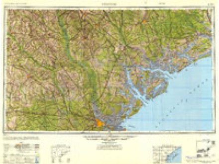
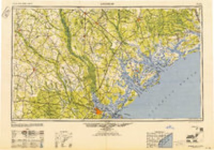
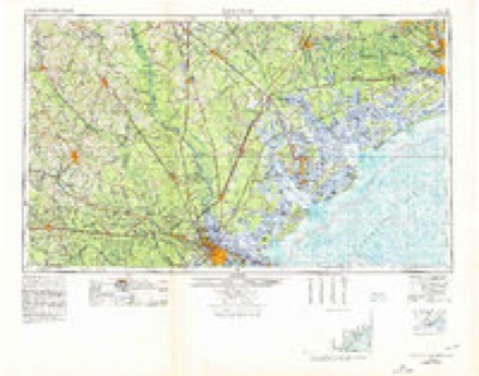
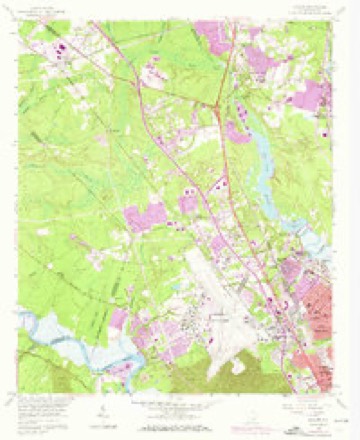
12 surveys from 23 printed sheetsMatched by testing this settlement's coordinate against the published boundary of every sheet in the United States Geological Survey's historical collection. Each opens the scanned sheet at the Survey.
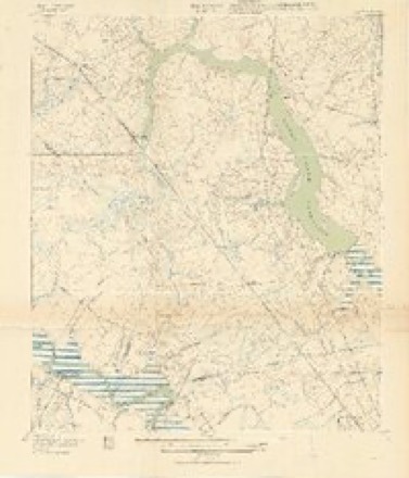
- 1919 USGS Ladson quadrangle1:21120, 2 printings
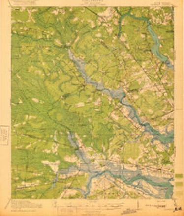
- 1920 USGS Ravenels quadrangle1:62500, 3 printings
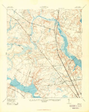
- 1943 USGS Ladson quadrangle1:24000, 2 printings
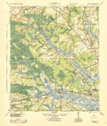
- 1944 USGS Ravenels quadrangle1:62500
- 1947 USGS Savannah quadrangle1:250000
- 1948 USGS Savannah quadrangle1:250000
- 1957 USGS Savannah quadrangle1:250000, 4 printings
- 1958 USGS Ladson quadrangle1:24000, 4 printings
- 1960 USGS Savannah quadrangle1:250000
- 1961 USGS Savannah quadrangle1:250000, 2 printings
- 1986 USGS Walterboro quadrangle1:100000
- 1990 USGS Walterboro quadrangle1:100000

Fires near this place
367 since 1992Regional context, not property-specific evidence. The federal wildfire occurrence database lists 367 fires within 5 miles of Ladson between 1992 and 2020, burning about 896 acres in total. None started naturally. 75 were recorded as arson. Distance is straight-line from the map coordinates, so a fire counted here may appear on a neighbouring settlement's page as well.
| Reported cause | Fires |
|---|---|
| Missing data/not specified/undetermined | 140 |
| Arson/incendiarism | 75 |
| Misuse of fire by a minor | 73 |
| Debris and open burning | 66 |
| Recreation and ceremony | 6 |
| Equipment and vehicle use | 3 |
| Fireworks | 2 |
| Railroad operations and maintenance | 2 |
The most recent of them, most recent first, with the day each was reported and the service that recorded it.
| Date | Cause | Size | Reported by | Name on the report |
|---|---|---|---|---|
| 18 September 2000 | Debris and open burning | under an acre | South Carolina Forestry Commission | not named |
| 17 September 1999 | Arson/incendiarism | 1.0 acres | South Carolina Forestry Commission | not named |
| 13 September 1998 | Debris and open burning | under an acre | South Carolina Forestry Commission | not named |
| 12 September 1993 | Missing data/not specified/undetermined | 1.0 acres | South Carolina Forestry Commission | not named |
| 11 September 1999 | Misuse of fire by a minor | under an acre | South Carolina Forestry Commission | not named |
| 9 August 2007 | Arson/incendiarism | under an acre | South Carolina Forestry Commission | not named |
| 6 August 1999 | Arson/incendiarism | 2.0 acres | South Carolina Forestry Commission | not named |
| 4 August 2019 | Debris and open burning | 5.0 acres | South Carolina Forestry Commission | not named |
Settlements close enough to share some of these fires:
Mines and quarries near this place
8 within 5 milesRegional context, not property-specific evidence. The federal mineral resources record lists 8 workings within 5 miles of Ladson: 4 unknowns, 3 past producers, 1 producer. 1 still produces. What was taken out: Clay, Sand and Gravel, Construction. Distance is straight-line from the map coordinates, so a quarry counted here may appear on a neighbouring settlement's page as well.
| Where | Site | Commodity | Status | Recorded |
|---|---|---|---|---|
| Evergreen Mine | Sand and Gravel, Construction | Producer | ||
| Dorchester Mine East | Clay | Unknown | Sedimentary | |
| Dorchester Mine East | Clay | Past Producer | ||
| Dorchester Mine West | Clay | Unknown | Sedimentary | |
| Dorchester Mine West | Clay | Past Producer | ||
| Newington Mine & Mill | Clay | Past Producer | ||
| Newington Pit | Clay | Unknown | Sedimentary | |
| Salisbury Brick Mine | Clay | Unknown | Sedimentary |
Storms near this place
40 since 1994Regional context, not property-specific evidence. The National Weather Service names Ladson in 40 storm reports between 1994 and 2025: 24 thunderstorm wind, 8 hail, 5 flash flood, 2 lightning. The reports record 1 death and 9 injuries. Each account below is quoted exactly as the forecast office filed it, from the NOAA Storm Events Database, and each date opens the federal record of that event.
| When | Event | Place named | Harm | What the report says |
|---|---|---|---|---|
| May 1998 | Tornado (F2) | Ladson | 1 killed, 7 hurt, $5,000,000 | After two brief earler touchdowns in Dorchester County, the supercell crossed Interstate 26 into Berkeley County where the most extensive damage occurred. There were 442 homes damaged (17 destroyed, 113 major damage, and the remainder had minor damage. Areas hardest hit were Frankie Lane and Royale Road, where numerous mobile homes were located. There was a 90 year old female who was injured severely when her mobile home was flipped and throuwn more than 40 feet. She died several hours later. Several eye witnesses reported seeing vortices rotating around the main funnel. This fact was born out by the damage pattern in several areas. |
| June 2013 | Thunderstorm Wind | Ladson | 1 hurt, $500 | Sub severe winds of 40 to 50 mph broke off a large branch of a diseased tree at a golf course. The branch landed on a golfer who was injured and taken to a hospital. |
| June 2024 | Thunderstorm Wind | Ladson | 1 hurt | A National Weather Service Storm Survey Team confirmed straight-line thunderstorm wind damage with an estimated maximum wind speed of 80 to 85 mph along a path approximately 8.75 miles long and 3.5 miles wide beginning in east-central Dorchester County at 642 PM, then tracking across extreme western Charleston County starting at 645 PM, before ending across west-central Berkeley County at 658 PM.||In Berkeley County, the survey team found isolated to scattered damage, most of which consisted of large softwood trees snapped and uprooted and some hardwood tree limbs snapped across eastern portions of Summerville to around Main Street on the north side of Sangaree and south across Ladson and into the College Park area, ending as far east as Highway 176. One area of extensive damage occurred around Wisteria Street and the Tall Pines Neighborhood along Interstate 26 on the north side of Ladson. Within this area, both soft and hardwood trees were observed to have snapped near the trunks, several of which fell on residences and vehicles. Additionally, some minor damage to residential property was observed, including shingles and siding blown off and privacy fences blown down. The path of damage continued east-northeastward from the Tall Pines Neighborhood where a tree was reported down on a vehicle along with damage to a fence and siding in the Hunter's Bend Neighborhood before the path of damage continued across much of the College Park area. A Berkeley County emergency manager indicated at least 28 homes damaged by falling trees in the College Park vicinity and a pole barn significantly damaged along Cindy Drive. One female was reported injured when a tree fell on her residence on College Park Drive. Emergency management also reported at least 18 additional downed trees and power lines in the area not directly impacting homes. The damage path then continued east-northward across Fairfax and Oakbrook Neighborhoods where a Berkeley County emergency manager indicated numerous trees down on roadways, homes and cars, before the damage path ended near Highway 176 at 658 PM. Based on the uniform damage direction (north to northeast), a strong downburst producing straight-line winds was determined to be the cause of the event. |
| October 2015 | Flash Flood | Ladson | $647,620 | Law enforcement reported roads closed due to flooding in the College Park and Sangaree area. Roads closed included Oxford Road where water was flowing over a bridge, Trinity Place and Highway 78 at the intersection with Bell Wright Road. |
| September 1994 | Thunderstorm Wind | Ladson | $500,000 | Trees down, 10 roofs damaged, chimney destroyed in College Park Subdivision in Ladson area, 18 miles NNW Charleston. Damaged estimated at $60,000. |
| August 2009 | Thunderstorm Wind | Ladson | $50,000 | A National Weather Service Damage Survey Team evaluated damage which occurred at Charleston Southern University, near College Park, South Carolina. The survey teams findings included, three large trees and numerous large tree limbs were blown down and an air conditioning unit sustained structural damage. The damage path was estimated to be a half mile long and a quarter mile wide. Damage was consistent with a downburst with winds estimated to be between 60 and 70 mph. |
| July 2013 | Flash Flood | Ladson | $20,000 | Trinity Road flooded and impassable. Bridge completely submerged. Oxford Road was also impassable. |
| June 2013 | Thunderstorm Wind | Ladson | $5,250 | Several trees and power lines were reported down on Donwood Circle. |
| September 2016 | Lightning | Ladson | $5,000 | Berkeley County dispatch reported that lightning hit a house in the Tall Pines subdivision and resulted in a fire in the attic. |
| July 2010 | Lightning | Ladson | $5,000 | Law enforcement reported that lightning started a structure fire on Oxford Road off of College Park Road, 2 miles north-northeast of Ladson, South Carolina. |
| June 2013 | Thunderstorm Wind | Ladson | $4,000 | A trained spotter reported one tree down on a garage along Wagon Trail Road. |
| June 2013 | Thunderstorm Wind | Ladson | $2,250 | A spotter reported a tree down on a power line. |
| June 2013 | Thunderstorm Wind | Ladson | $2,000 | The public reported 2 trees down and power outages in the Hunters Bend subdivision. |
| June 2013 | Thunderstorm Wind | Ladson | $2,000 | Sub severe winds estimated between 40 to 50 mph knocked down a diseased tree onto the awning of a pharmacy store. |
| June 2009 | Thunderstorm Wind | Ladson | $2,000 | Law Enforcement reported power lines down at the intersection of Highway 78 and College Park Road near Ladson, South Carolina. |
| May 2006 | Thunderstorm Wind | Ladson | $2,000 | Trees down in Ladson. |
| November 2006 | Thunderstorm Wind | Ladson | $2,000 | Trees down. |
| July 2025 | Thunderstorm Wind | Ladson | $1,000 | South Carolina Highway Patrol reported a tree down on Interstate 26 westbound near College Park Road. |
| August 2022 | Thunderstorm Wind | Ladson | $1,000 | The Berkeley County 911 Call Center reported a tree down along the 4000 Block of Highway 78 due to thunderstorm outflow. |
| June 2013 | Thunderstorm Wind | Ladson | $1,000 | The public reported an 8 inch diameter branch along with several smaller branches down at the Crowfield Golf and Country Club. |
| June 2013 | Thunderstorm Wind | Ladson | $1,000 | Law enforcement reported a tree down near the intersection of Highway 78 and Ancrum Road. |
| July 2012 | Thunderstorm Wind | Ladson | $1,000 | The public reported 1 tree down along Interstate 26 between mile markers 201 and 202. |
| June 2019 | Thunderstorm Wind | Ladson | $500 | A trained spotter reported a 1 foot diameter branch down near Stratford High School. Tree damage was also in the nearby forest. |
| August 2019 | Thunderstorm Wind | Ladson | $500 | A public report via social media indicated large tree limbs 10 inches in diameter and 30 to 50 feet long down along College Park Road. |
| August 2011 | Thunderstorm Wind | Ladson | $500 | A spotter estimated 65 mph wind gusts and had 2 inch diameter limbs down in his yard, near College Park, South Carolina. |
| March 2025 | Thunderstorm Wind | Ladson | - | Berkeley County dispatch reported a tree down on a power line near 215 Tall Pines Road which resulted in an electrical fire. |
| June 2024 | Hail | Ladson | - | The public reported 1.75 to 2.0 size hail causing damage to house siding near the intersection of Hermitage Lane and Discovery Drive. |
| August 2024 | Flash Flood | Ladson | - | The public reported flowing water entering buildings near the intersection of Furman Lane and Oxford Road. |
| June 2022 | Thunderstorm Wind | Ladson | - | The Berkeley County 911 Call Center reported a tree down at Treeland Drive and Loblolly Circle. |
| July 2019 | Hail | Ladson | - | A trained spotter reported dime sized hail on Apache Pine Drive. |
| October 2016 | Flash Flood | Ladson | - | A county official from Berkley County reported heavy rain from Hurricane Matthew resulting in flooding in the College Park area, including water entering some homes on Oxford Road. |
| July 2011 | Hail | Ladson | - | The Public reported nickel size hail on Kinswood Lane, 1 mile northwest of College Park, South Carolina. |
| October 2010 | Hail | Ladson | - | The Public reported nickel size hail in the Hamlet subdivision in Goose Creek, South Carolina. |
| September 2008 | Flash Flood | Ladson | - | Law Enforcement reported Royal Road near Treeland Drive was flooded and impassable. |
| May 2008 | Hail | Ladson | - | Penny size hail was reported in College Park, South Carolina. |
| June 2007 | Hail | Ladson | - | Golfball size hail was reported along with small limbs knocked down by winds. |
| July 2004 | Thunderstorm Wind | Ladson | - | Large tree limbs down on on Interstate 26, on College Park Road, along U.S. 78. |
| May 1998 | Thunderstorm Wind | Ladson | - | Trees down. |
| May 1998 | Hail | Ladson | - | no account filed |
| June 1997 | Hail | Ladson | - | no account filed |
Nearest settlements
The eight closest, with where each one stands in the county. Distances are straight-line, computed from the Geographic Names Information System coordinates.
| Map | Place | Distance | Sheets |
|---|---|---|---|
| Tall PInes | 1.7 miles | 19 | |
| Caromi Village | 1.7 miles | 19 | |
| Gailmoor | 1.8 miles | 19 | |
| College Park | 2.3 miles | 19 | |
| Woodbridge | 2.9 miles | 19 | |
| Driggerstown | 3.2 miles | 19 | |
| Pineview Hills | 3.3 miles | 23 | |
| South Pointe | 3.4 miles | 19 |
Elsewhere
Matched on this settlement's Geographic Names Information System number rather than its name, so it cannot be a different place of the same name in another state.
| Wikipedia article on Ladson | An encyclopaedic summary. Its text is share-alike, so it is linked here rather than copied. |
| Wikidata item Q2136587 | The structured record the population and elevation above come from. Public domain (CC0). |
Provenance
This settlement is recorded in the Geographic Names Information System as feature 1246274. The sheet list is computed by point-in-boundary test against the United States Geological Survey's historical topographic inventory. Both are works of the United States government and carry no copyright under 17 U.S.C. 105.
Wildfire. Short, Karen C. 2022. Spatial wildfire occurrence data for the United States, 1992-2020 [FPA_FOD_20221014]. 6th Edition. Fort Collins, CO: Forest Service Research Data Archive. https://doi.org/10.2737/RDS-2013-0009.6 Collected with United States Government funding and usable without additional permissions or fees.
Mines and quarries. USGS Mineral Resources Data System (MRDS) https://mrdata.usgs.gov/mrds/ A work of the United States government, no copyright under 17 U.S.C. 105.
Storms. NOAA National Centers for Environmental Information, Storm Events Database https://www.ncei.noaa.gov/stormevents/ A work of the United States government, no copyright under 17 U.S.C. 105. Narratives are quoted verbatim from the National Weather Service report and are not edited or summarised.