 Block
Landrum, South Carolina
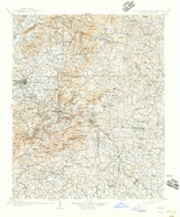
16 topographic sheets cover this place, the earliest surveyed in 1907 and the latest in 1986. It stands in the Landrum census division. It lies in ZIP code area 29356. It lies near Bird Mountain. The Survey maps it on the Landrum quadrangle. 2,481 people lived here at the 2020 count. It stands 1,047 feet above sea level.
Population over time
2 figuresLandrum grew from 2,376 to 2,481 between 2010 and 2020. These are the recorded population figures Wikidata holds for this place, reached through the Geographic Names Information System number this page is keyed on rather than by name, so they belong to this place and not to another of the same name. Most are census counts, but not all are: an early figure may be a founding or settlement estimate, and an estimate published within five years of a census is left out. The change column is computed, and is left blank where more than 20 years separate a figure from the one before it, because a gap that long is not a change between two counts.
| Year | People | Change |
|---|---|---|
| 2010 | 2,376 | |
| 2020 | 2,481 | +105 (+4%) |
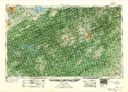
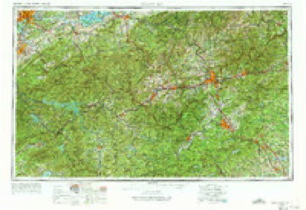
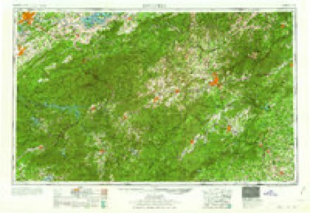
Topographic sheets covering this place
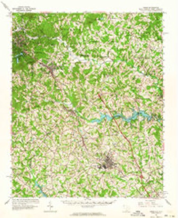
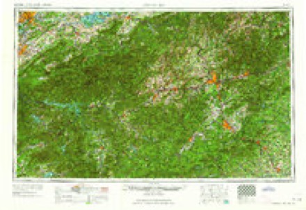
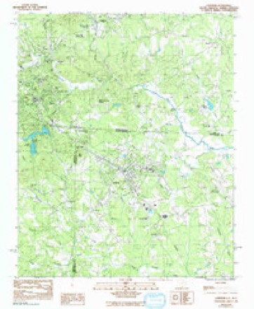
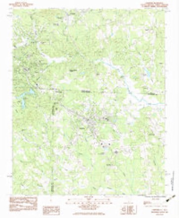
9 surveys from 16 printed sheetsMatched by testing this settlement's coordinate against the published boundary of every sheet in the United States Geological Survey's historical collection. Each opens the scanned sheet at the Survey.
- 1907 USGS Saluda quadrangle1:125000, 3 printings
- 1955 USGS Knoxville quadrangle1:250000
- 1957 USGS Knoxville quadrangle1:250000, 4 printings
- 1960 USGS Knoxville quadrangle1:250000, 2 printings
- 1961 USGS Inman quadrangle1:62500
- 1964 USGS Knoxville quadrangle1:250000
- 1968 USGS Landrum quadrangle1:24000
- 1983 USGS Landrum quadrangle1:24000
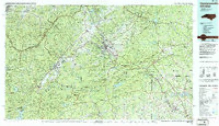
- 1986 USGS Hendersonville quadrangle1:100000, 2 printings
Fires near this place
157 since 1992Regional context, not property-specific evidence. The federal wildfire occurrence database lists 157 fires within 5 miles of Landrum between 1992 and 2020, burning about 623 acres in total. 1 started naturally. 14 were recorded as arson. Distance is straight-line from the map coordinates, so a fire counted here may appear on a neighbouring settlement's page as well.
| Reported cause | Fires |
|---|---|
| Debris and open burning | 73 |
| Missing data/not specified/undetermined | 46 |
| Equipment and vehicle use | 15 |
| Arson/incendiarism | 14 |
| Misuse of fire by a minor | 3 |
| Power generation/transmission/distribution | 3 |
| Natural | 1 |
| Recreation and ceremony | 1 |
| Smoking | 1 |
The most recent of them, most recent first, with the day each was reported and the service that recorded it.
| Date | Cause | Size | Reported by | Name on the report |
|---|---|---|---|---|
| 17 September 2005 | Debris and open burning | 1.5 acres | South Carolina Forestry Commission | not named |
| 11 September 2007 | Arson/incendiarism | 1.0 acres | South Carolina Forestry Commission | not named |
| 5 August 1998 | Missing data/not specified/undetermined | 1.5 acres | South Carolina Forestry Commission | not named |
| 3 July 1993 | Missing data/not specified/undetermined | 2.0 acres | North Carolina Forest Service | not named |
| 29 July 1993 | Debris and open burning | 1.0 acres | North Carolina Forest Service | not named |
| 20 July 2002 | Debris and open burning | 2.0 acres | South Carolina Forestry Commission | not named |
| 20 July 2002 | Debris and open burning | 3.5 acres | South Carolina Forestry Commission | not named |
| 12 June 2008 | Natural | 2.0 acres | South Carolina Forestry Commission | not named |
Settlements close enough to share some of these fires:
Mines and quarries near this place
4 within 5 milesRegional context, not property-specific evidence. The federal mineral resources record lists 4 workings within 5 miles of Landrum: 4 past producers. None of them still produces. What was taken out: Feldspar, Mica, Sand and Gravel, Construction. Distance is straight-line from the map coordinates, so a quarry counted here may appear on a neighbouring settlement's page as well.
| Where | Site | Commodity | Status | Recorded |
|---|---|---|---|---|
| Sand and Gravel Pit | Sand and Gravel, Construction | Past Producer | ||
| Feldspar/Mica Mine | Feldspar, Mica | Past Producer | ||
| Feldspar/Mica Mine | Feldspar, Mica | Past Producer | ||
| Feldspar/Mica Mine | Feldspar, Mica | Past Producer |
Storms near this place
42 since 1993Regional context, not property-specific evidence. The National Weather Service names Landrum in 42 storm reports between 1993 and 2025: 21 thunderstorm wind, 11 hail, 4 flash flood, 3 flood. The reports record 1 death. Each account below is quoted exactly as the forecast office filed it, from the NOAA Storm Events Database, and each date opens the federal record of that event.
| When | Event | Place named | Harm | What the report says |
|---|---|---|---|---|
| September 2024 | Flash Flood | Landrum | 1 killed, $30,000 | Stream gauges across the Pacolet River basin indicated flash flooding developed after 10-15 inches of rain fell across northern Spartanburg County over three days, with even heavier rainfall occurring over the headwaters in the mountains. The North Pacolet inundated several roads in the north part of the county, including Highway 14, roads near the water treatment plant. Several tributaries of also overflowed their banks, including Buck Creek, which inundated several secondary roads, and Lawsons Fork Creek in Spartanburg, which overflowed onto Heathwood Dr and Lake Forest Dr, as well as at least one private drive. Additionally, the South Pacolet flooded areas of Depot St and Highway 11 in Campobello, while backwater effects into Motlow Creek caused inundation of Old Mill Rd. Other tributaries flooded throughout the norther part of the county, including a tributary of Dillard Creek, which flooded East Howell Rd in Greer. An 88-year-old male was killed when his vehicle was submerged in floodwater near Landrum. |
| July 1999 | Lightning | Landrum | $15,000 | no account filed |
| June 2025 | Thunderstorm Wind | Landrum | $10,000 | Multiple sources reported multiple trees and power lines blown down throughout the northern half of Spartanburg County. One tree fell on a house on Lucerne Dr in Spartanburg. |
| September 2024 | Flood | Landrum | $10,000 | Although heavy rain ended across Spartanburg County by afternoon, flooding continued across the county through the afternoon and into the morning of the 28th. In addition to continued flooding across the Pacolet system, flooding also developed along the Enoree River during this time, as water from very rainfall over the headwaters of that river resulted in gradual rises of the river along the Spartanburg/Greenville County line. Kilgore Bridge Rd was inundated in the Woodruff area. |
| August 2019 | Thunderstorm Wind | Landrum | $10,000 | Spotter reported trees and power lines blown down along Highway 14. Public reported multiple trees down along the Highway 176 corridor between Campobello and Inman. City of Campobello official reported a tree down on a home in the Gramling area. |
| June 1997 | Thunderstorm Wind | Landrum | $1,000 | no account filed |
| March 1995 | Thunderstorm Wind | Landrum | $1,000 | no account filed |
| June 2025 | Thunderstorm Wind | Landrum | - | Emergency manager reported two trees blown down in Landrum. Another tree was down west of Inman. |
| May 2023 | Thunderstorm Wind | Landrum | - | County comms reported numerous trees blown down from Landrum, across Campobello to Inman. |
| August 2023 | Thunderstorm Wind | Landrum | - | Fire dept reported trees blown down on South Shamrock Ave and on Redland Rd. |
| July 2015 | Hail | Landrum | - | Public reported quarter size hail near Landrum. |
| October 2014 | Thunderstorm Wind | Landrum | - | Highway Patrol reported a tree blown down at Highway 15 and Ford Rd (1.5 SW Landrum) and another tree down at Blackstock Rd and Belue Hill Rd (1.5 WSW). |
| June 2014 | Hail | Landrum | - | Public reported quarter size hail on the state line southwest of Green Creek, NC. |
| June 2013 | Thunderstorm Wind | Landrum | - | A few trees were blown down along Redland Rd near highway 14. |
| July 2013 | Thunderstorm Wind | Landrum | - | Trees were blown down around North Shamrock Rd and Greenwood St. |
| July 2013 | Thunderstorm Wind | Landrum | - | A tree was blown down on North Shamrock Ave in Landrum. |
| August 2013 | Thunderstorm Wind | Landrum | - | A tree was blown down on Red Barn Rd near Prince Rd. Multiple trees were blown down on Laurens Rd near highway 14. |
| July 2012 | Thunderstorm Wind | Landrum | - | Multiple trees were blown down across roads across the northern part of the county from I-26 near the state line to the Mayo and Fingerville area. |
| May 2011 | Thunderstorm Wind | Landrum | - | Part of the metal roof was torn off a business in downtown Landrum. Trees and large limbs were also blown down in the area. |
| June 2011 | Thunderstorm Wind | Landrum | - | Power lines were blown down on Red Hill Lane in Landrum and at Cannon Ford|Rd and Country Estates Rd in Fingerville. Trees were also blown down at Cooley|Springs School Rd and McSwain Rd. |
| August 2010 | Thunderstorm Wind | Landrum | - | Two large tree limbs were blown down near the Polk County line. |
| February 2010 | Flood | Landrum | - | A stream gauge on the South Pacolet River exceeded established flood stage during mid-afternoon, indicating that a portion of highway 14 was flooded in the Landrum area. |
| January 2010 | Flood | Landrum | - | Although heavy rainfall ended across the county around midnight, high water conditions persisted across northern sections of the county through the rest of the night. |
| January 2010 | Flash Flood | Landrum | - | A combination of poor drainage and stream flooding, mainly over the northwest corner of Spartanburg County, closed several roads. The main stream involved in this flooding was the Middle Tyger and some of its smaller feeder streams. Closed roads included Highway 14 near Oak Grove Rd and where it crosses the Pacolet River, Mount Lebanon Church Rd, Old Mill Rd and Waspnest Rd. |
| December 2009 | Heavy Rain | Landrum | - | Urban and poor drainage flooding caused closure of a handful of roads in the northern half of Spartanburg County, including Campbell Ave in Landrum. |
| June 2007 | Hail | Landrum | - | Hail reported along highway 9. |
| July 2006 | Thunderstorm Wind | Landrum | - | Numerous power lines down between Landrum and Chesnee. |
| August 2006 | Heavy Rain | Landrum | - | Urban flooding/deep ponding of water on roads in Landrum, including the intersection of East Tucker and South Howard Roads, which was covered with more than a foot of water. |
| July 2005 | Thunderstorm Wind | Landrum | - | Several trees down across the northwest part of the county. |
| December 2002 | Flash Flood | Landrum | - | Some creeks and small streams flooded. |
| November 2002 | Thunderstorm Wind | Landrum | - | Numerous trees were blown down. |
| June 2001 | Hail | Landrum | - | Landrum police reported dime-sized hail. |
| June 2001 | Thunderstorm Wind | Landrum | - | A firefighter reported trees and power lines down. Traffic on Interstate 26 was blocked for an hour because of trees across the roadway. |
| January 1998 | Flash Flood | Landrum | - | Excessive rain flooded Highway 14 and other bridges and roads in the Landrum area were covered by high water. The Pacolet River flooded other nearby roads and fields. |
| March 1994 | Hail | Landrum | - | The supercell that caused the Oconee County tornado continued near the mountains across northern Pickens and Greenville Counties then moved into the foothills. Large hail fell along the track and another tornado was generated near the Greenville/Spartanburg County border. This second tornado formed near Gowensville in Greenville County at 1640 EST, entered Spartanburg County at 1641 EST, and tracked across extreme northern Spartanburg County to the Arrowood Community northwest of Chesnee. Damage resulted to outbuildings, roofs of homes, trees, and powerlines. Storm intensity reached the lower range of F1 before moving into southern Rutherford County, North Carolina, at about 1659 EST. Large hail caused damage in Landrum just north of the tornado track. |
| April 2006 | Hail | Landrum | - | no account filed |
| April 2006 | Hail | Landrum | - | no account filed |
| June 2006 | Hail | Landrum | - | no account filed |
| August 1999 | Hail | Landrum | - | no account filed |
| June 1997 | Hail | Landrum | - | no account filed |
| April 1994 | Thunderstorm Wind | Landrum | - | no account filed |
| February 1993 | Hail | Landrum | - | no account filed |
Nearest settlements
The eight closest, with where each one stands in the county. Distances are straight-line, computed from the Geographic Names Information System coordinates.
| Map | Place | Distance | Sheets |
|---|---|---|---|
| Five Oaks | 1.2 miles | 16 | |
| Bennetts | 1.4 miles | 16 | |
| Ingleside | 2.4 miles | 16 | |
| Campobello | 4.6 miles | 15 | |
| Obed (historical) | 5.3 miles | 15 | |
| North Pacolet | 5.6 miles | 15 | |
| Andover (historical) | 6.7 miles | 15 | |
| Woodfin | 6.9 miles | 15 |
Elsewhere
Matched on this settlement's Geographic Names Information System number rather than its name, so it cannot be a different place of the same name in another state.
| Wikipedia article on Landrum | An encyclopaedic summary. Its text is share-alike, so it is linked here rather than copied. |
| Wikidata item Q2010489 | The structured record the population and elevation above come from. Public domain (CC0). |
Provenance
This settlement is recorded in the Geographic Names Information System as feature 1246289. The sheet list is computed by point-in-boundary test against the United States Geological Survey's historical topographic inventory. Both are works of the United States government and carry no copyright under 17 U.S.C. 105.
Wildfire. Short, Karen C. 2022. Spatial wildfire occurrence data for the United States, 1992-2020 [FPA_FOD_20221014]. 6th Edition. Fort Collins, CO: Forest Service Research Data Archive. https://doi.org/10.2737/RDS-2013-0009.6 Collected with United States Government funding and usable without additional permissions or fees.
Mines and quarries. USGS Mineral Resources Data System (MRDS) https://mrdata.usgs.gov/mrds/ A work of the United States government, no copyright under 17 U.S.C. 105.
Storms. NOAA National Centers for Environmental Information, Storm Events Database https://www.ncei.noaa.gov/stormevents/ A work of the United States government, no copyright under 17 U.S.C. 105. Narratives are quoted verbatim from the National Weather Service report and are not edited or summarised.