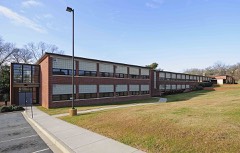
Block
From the record
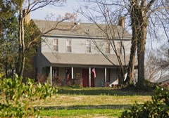
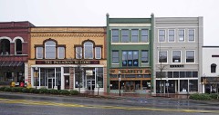
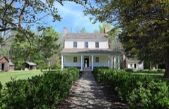
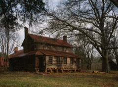
64 National Register listings published here.
Sources: the county history on the Internet Archive · the National Register database, National Park Service
89 topographic sheets and 15 fire insurance atlases across 2 places.
64 National Register listings published here.
Sources: the county history on the Internet Archive · the National Register database, National Park Service
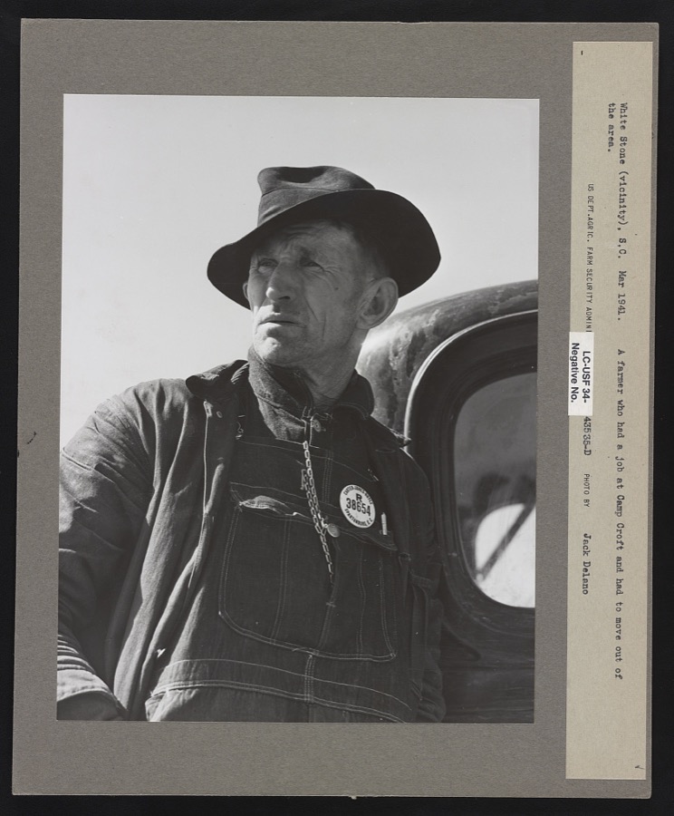
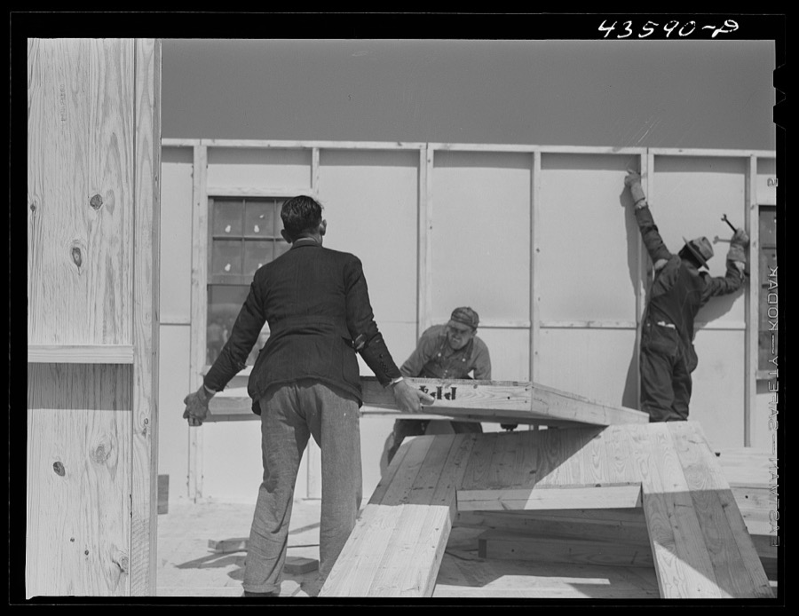
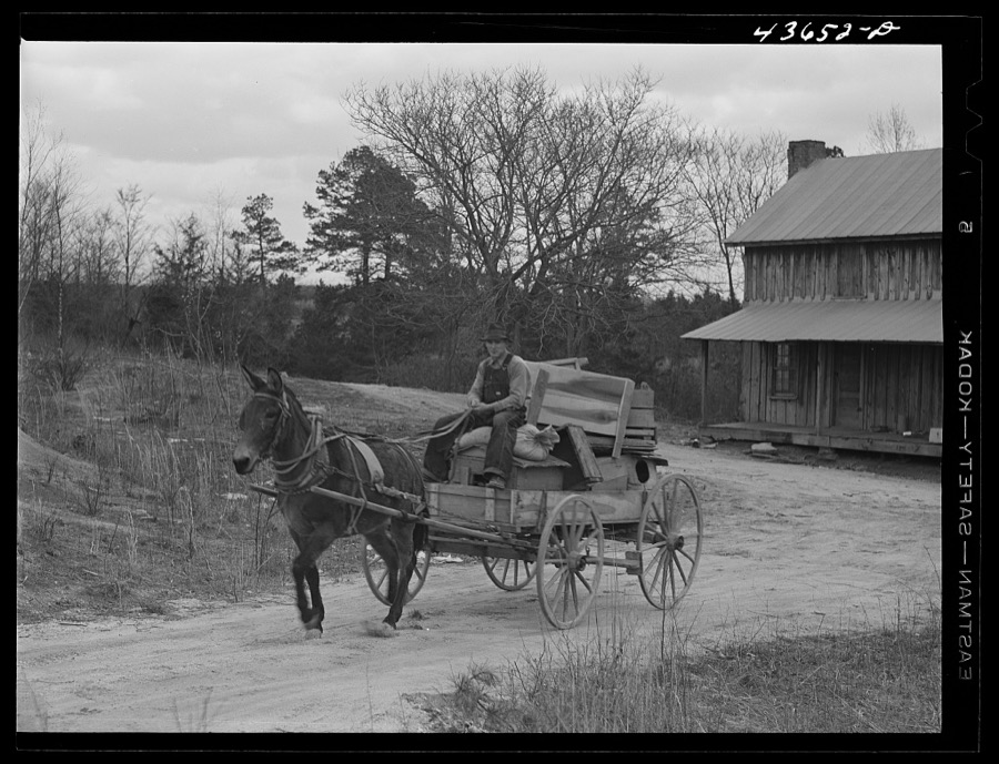
Taken for the Office of War Information and the Farm Security Administration, who photographed the country between 1935 and 1944. Works of United States government photographers, with no known restriction on use. Each opens its catalogue record.
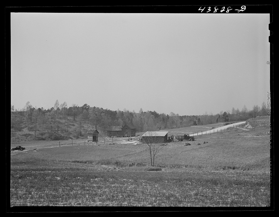
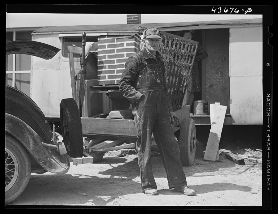
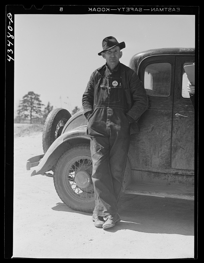
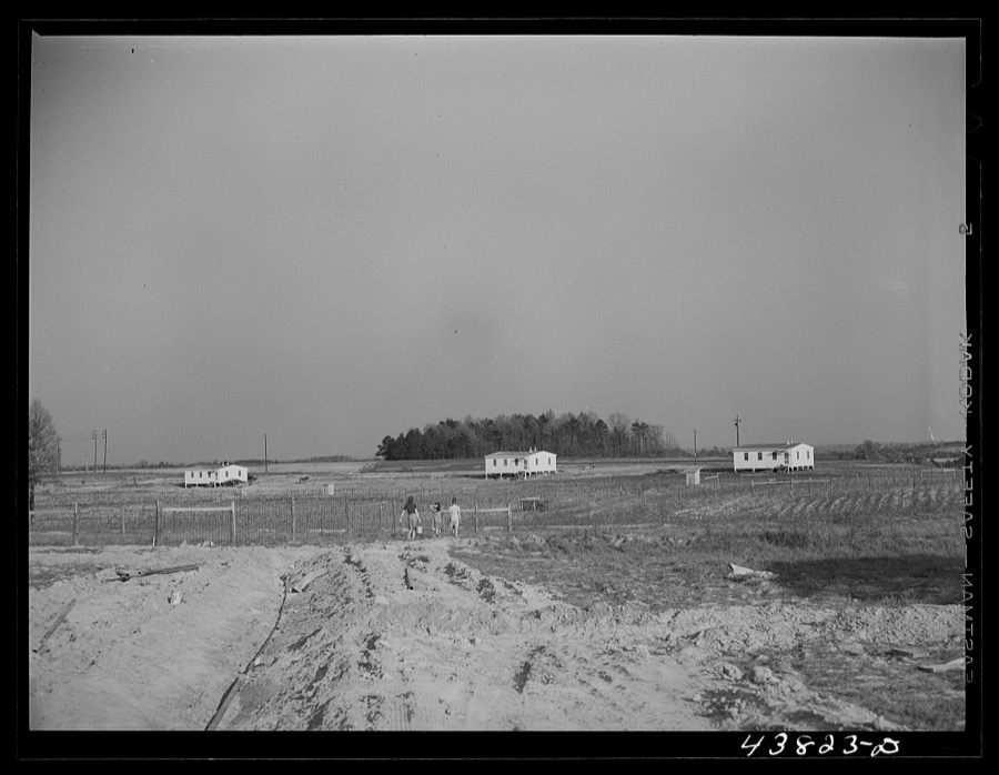
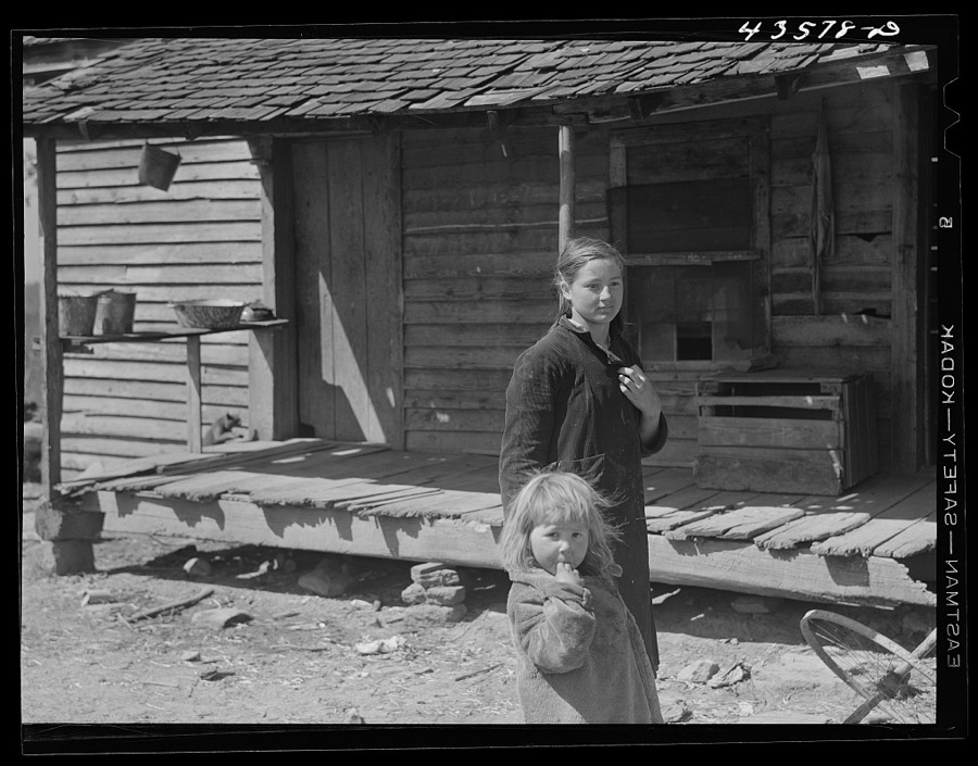

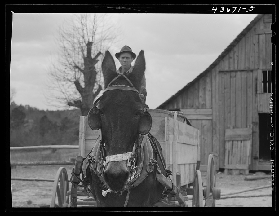
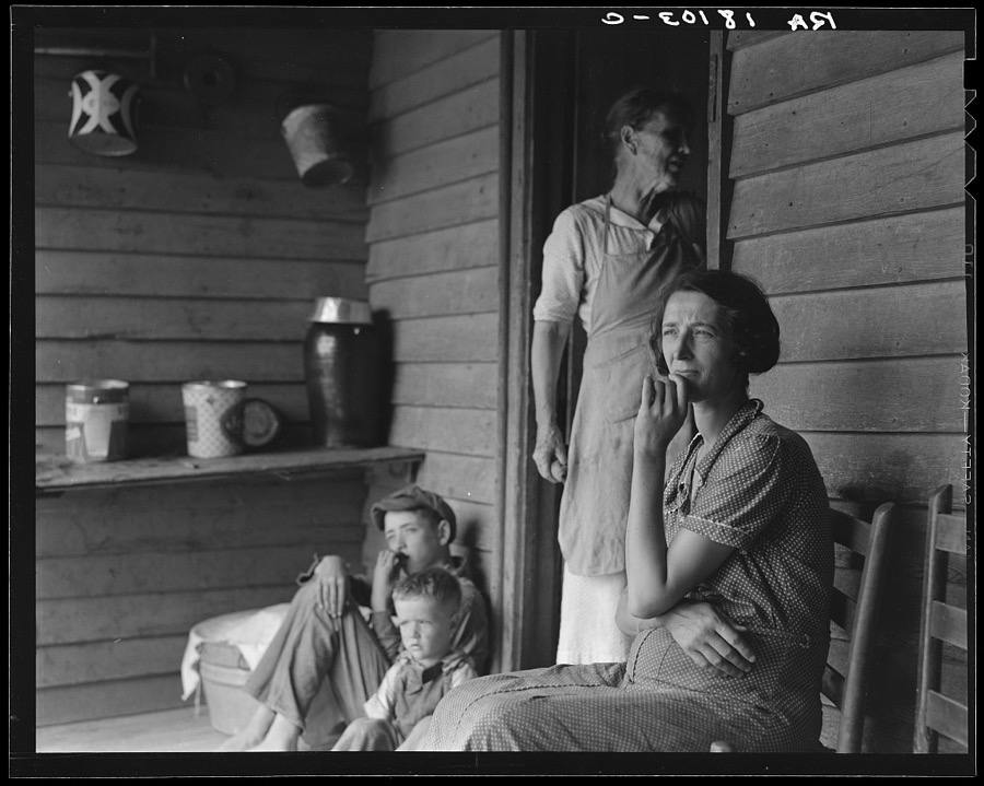
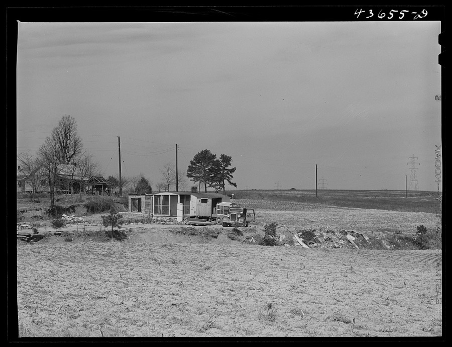
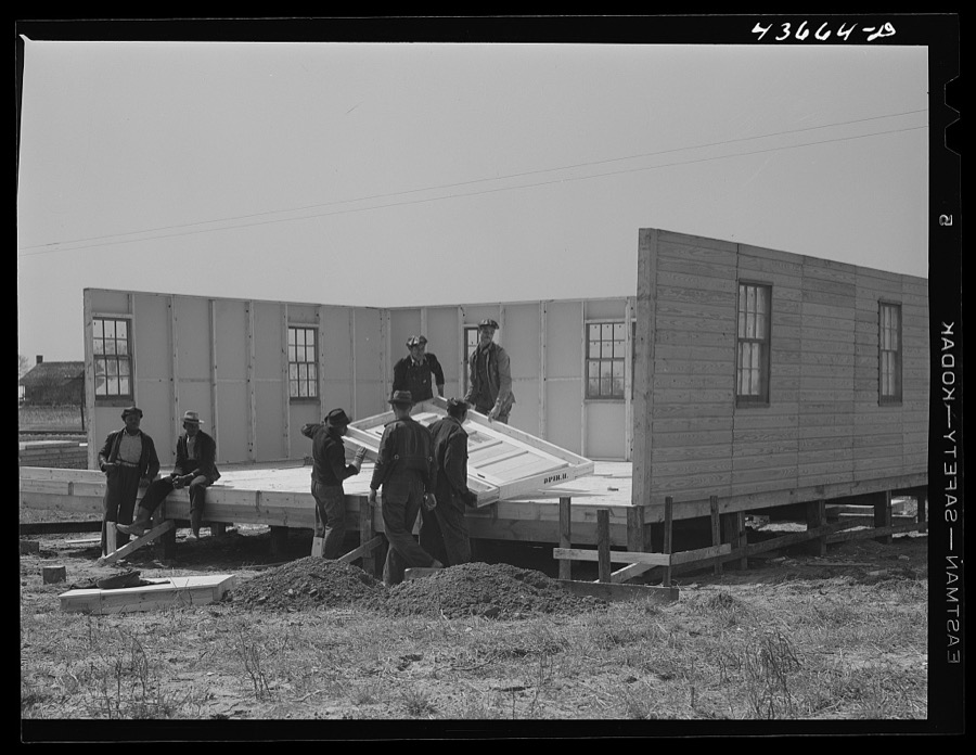
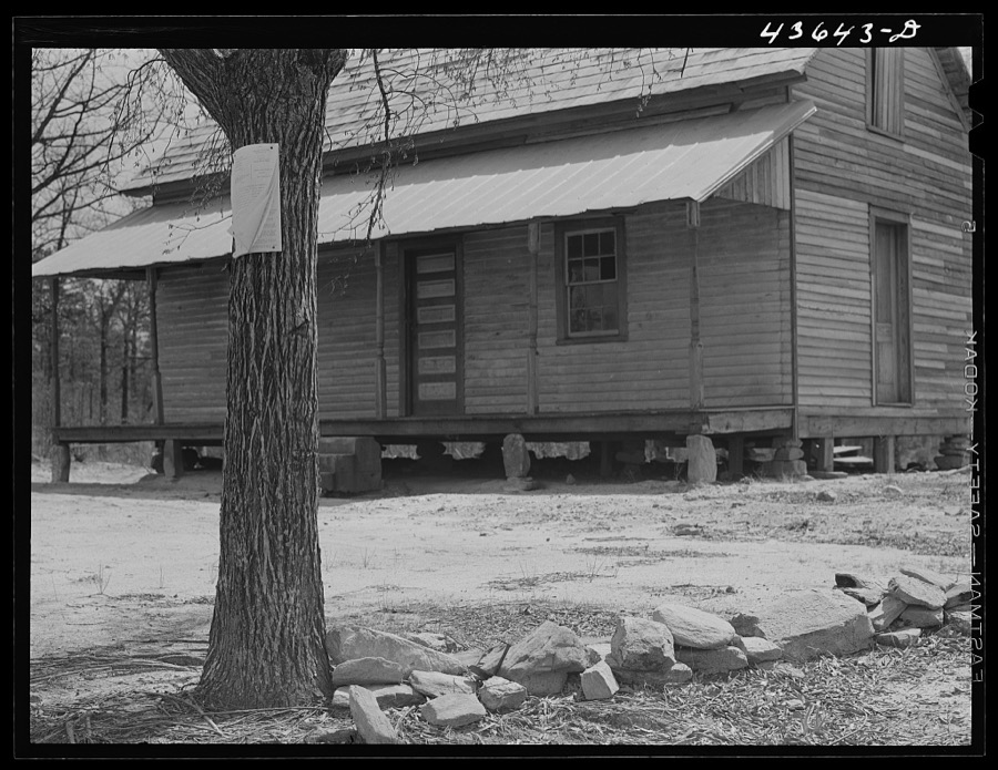
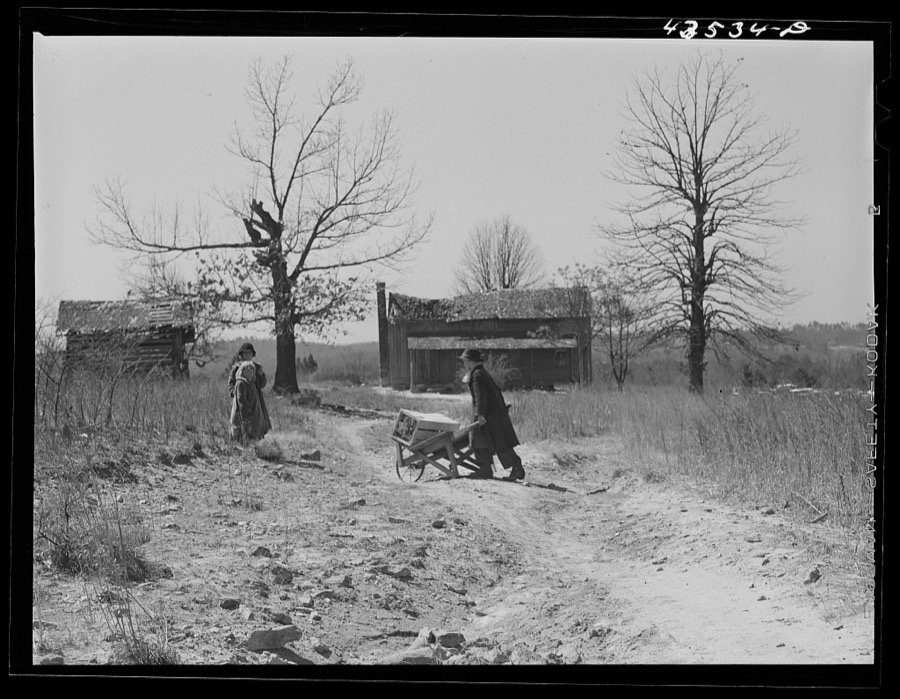
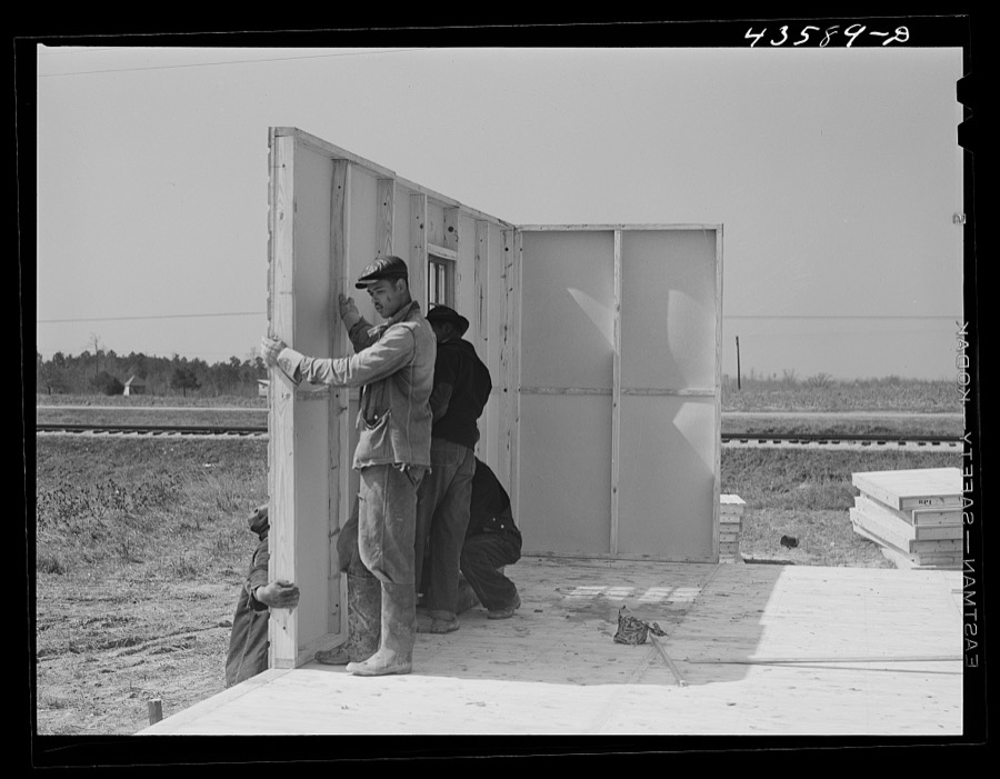
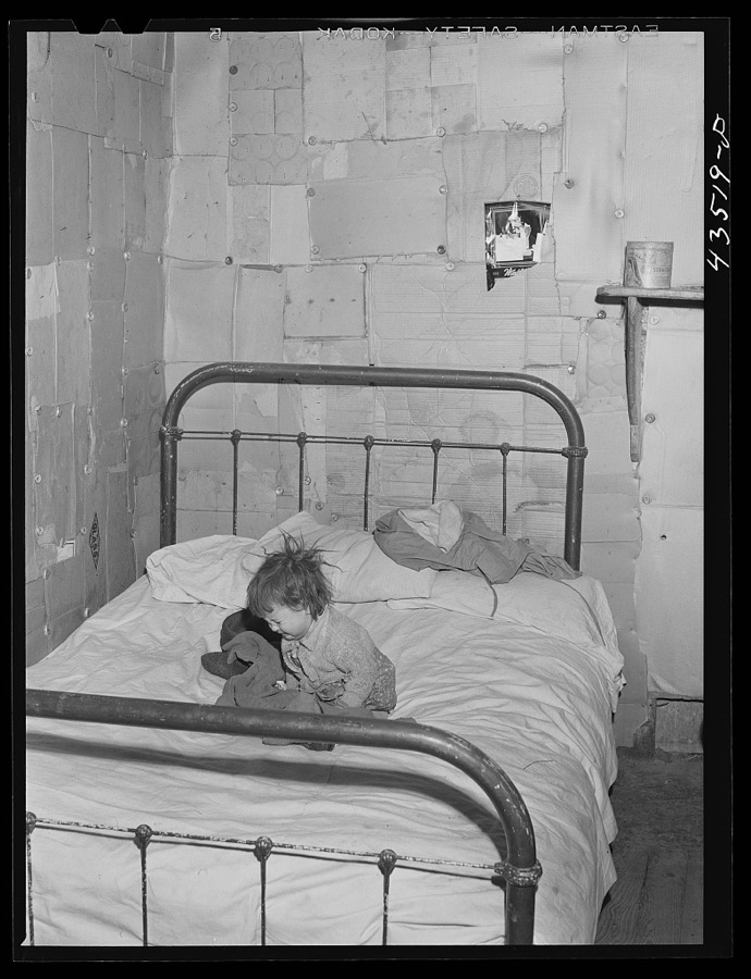
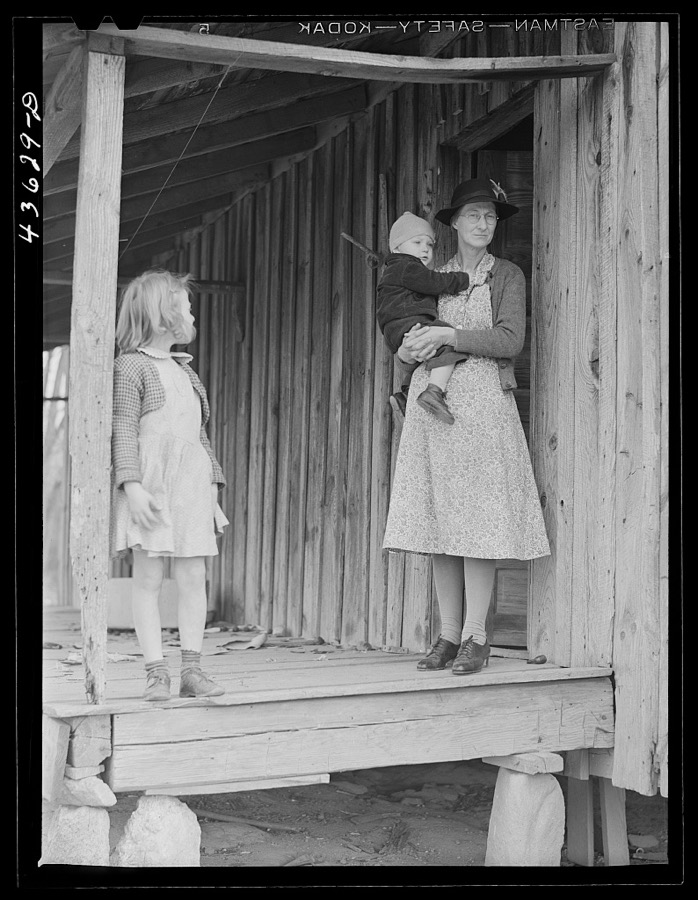
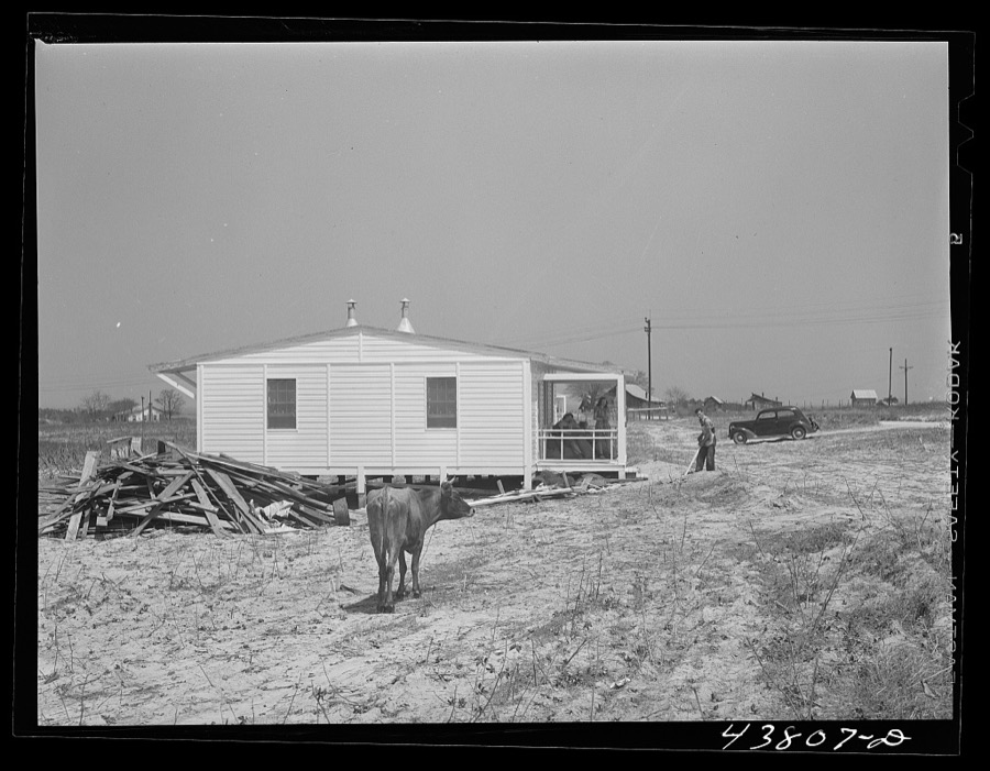
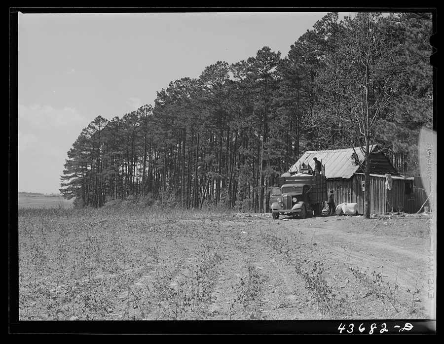
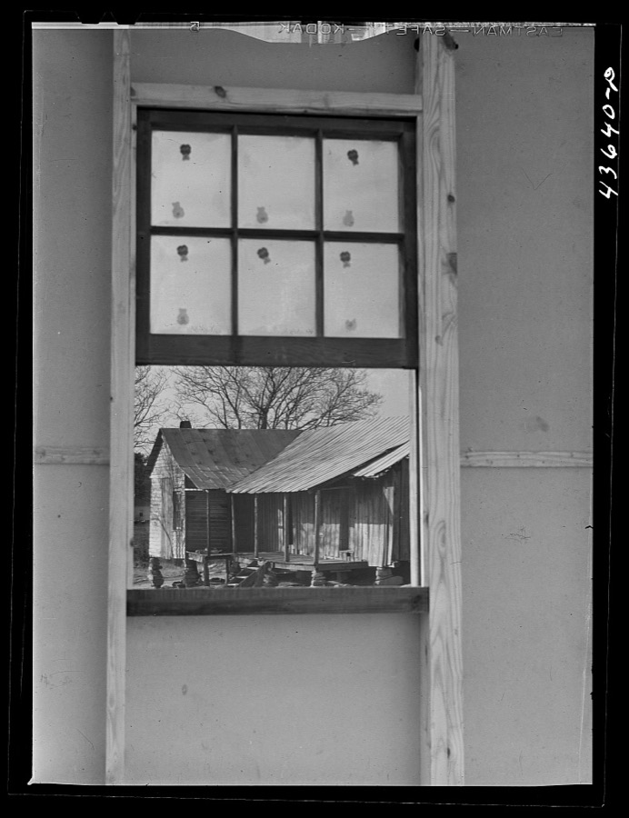
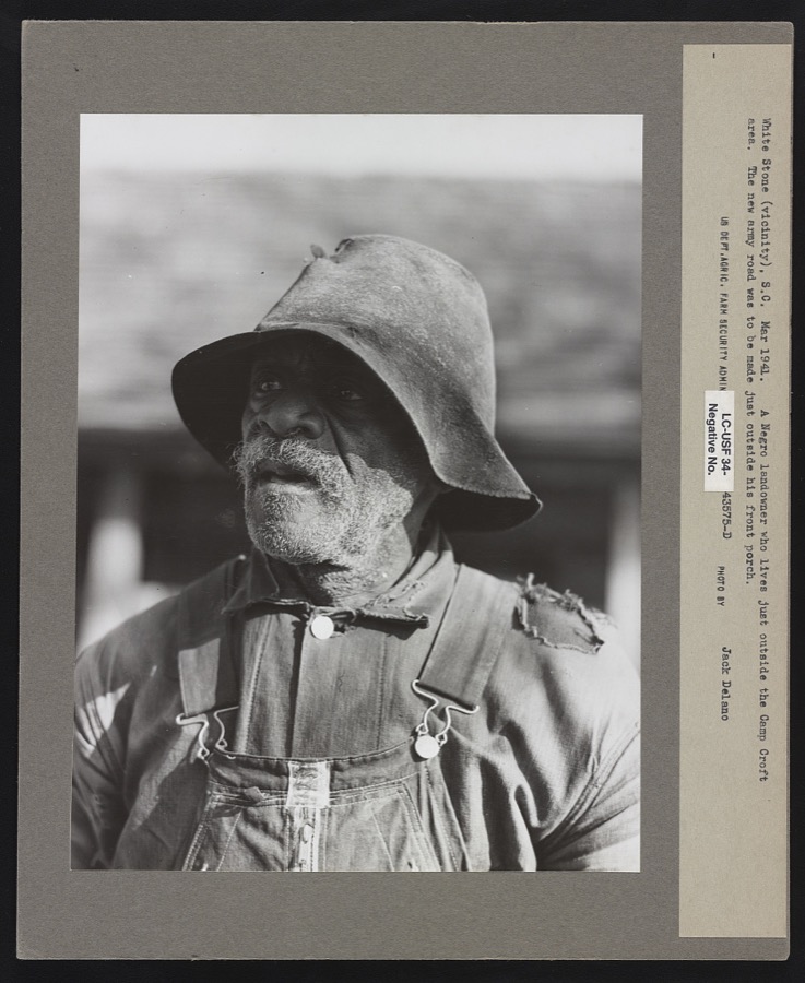

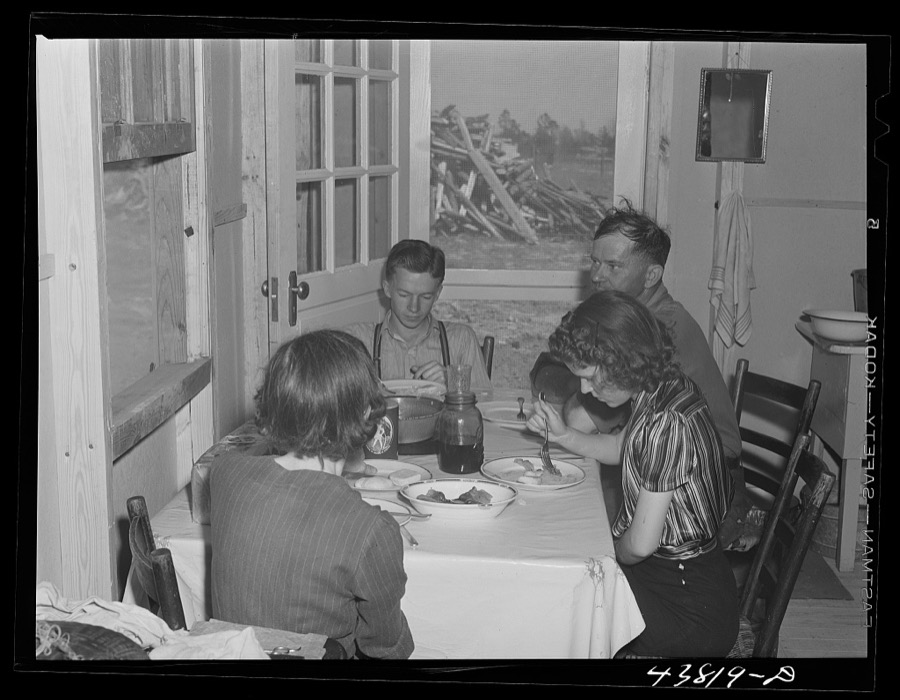
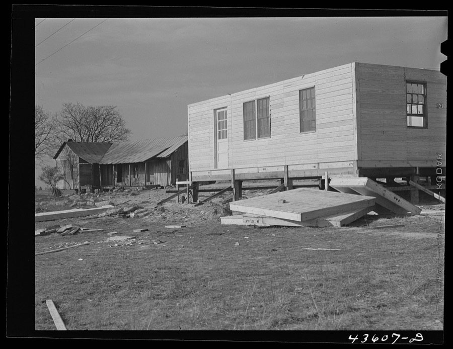
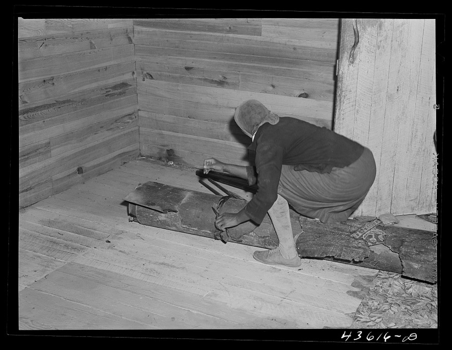
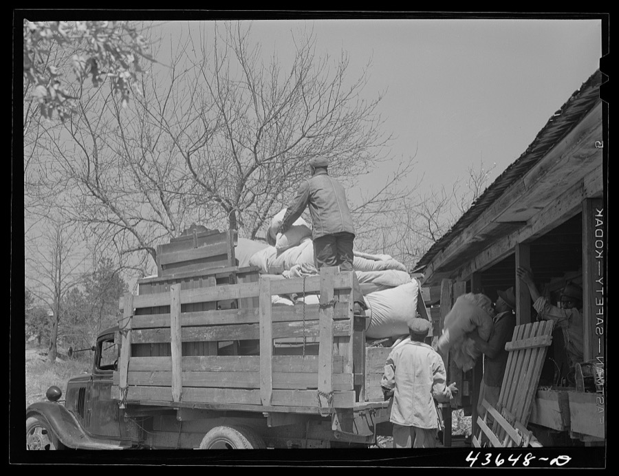
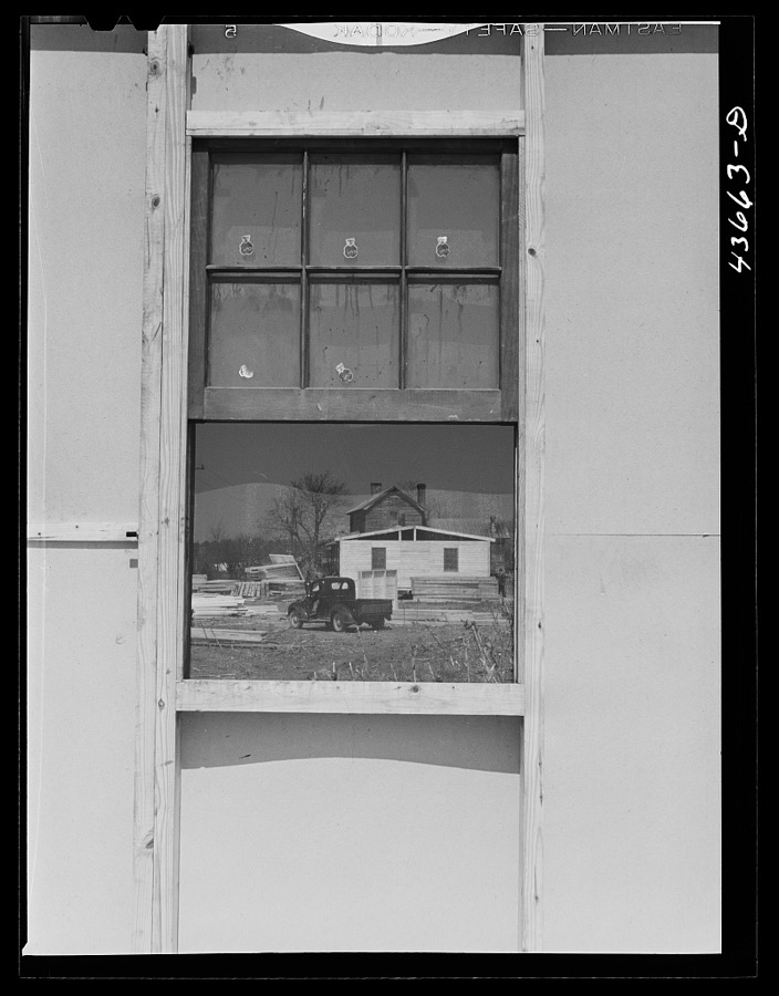
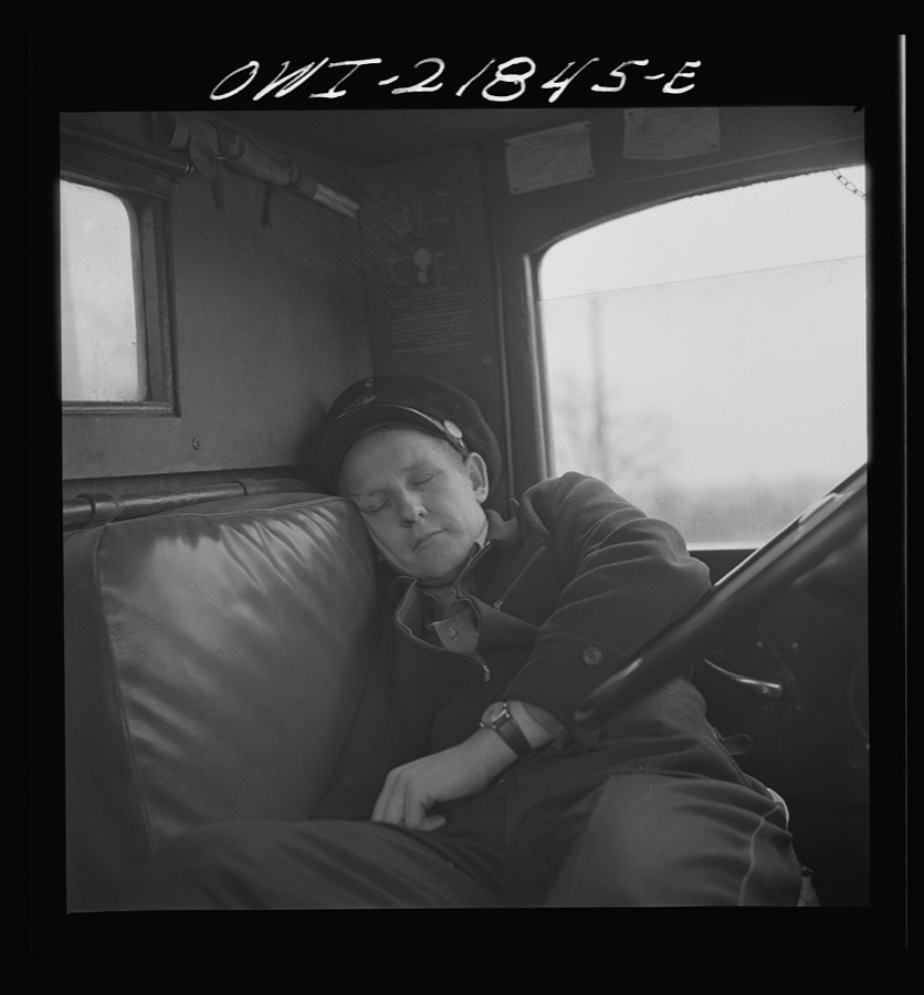
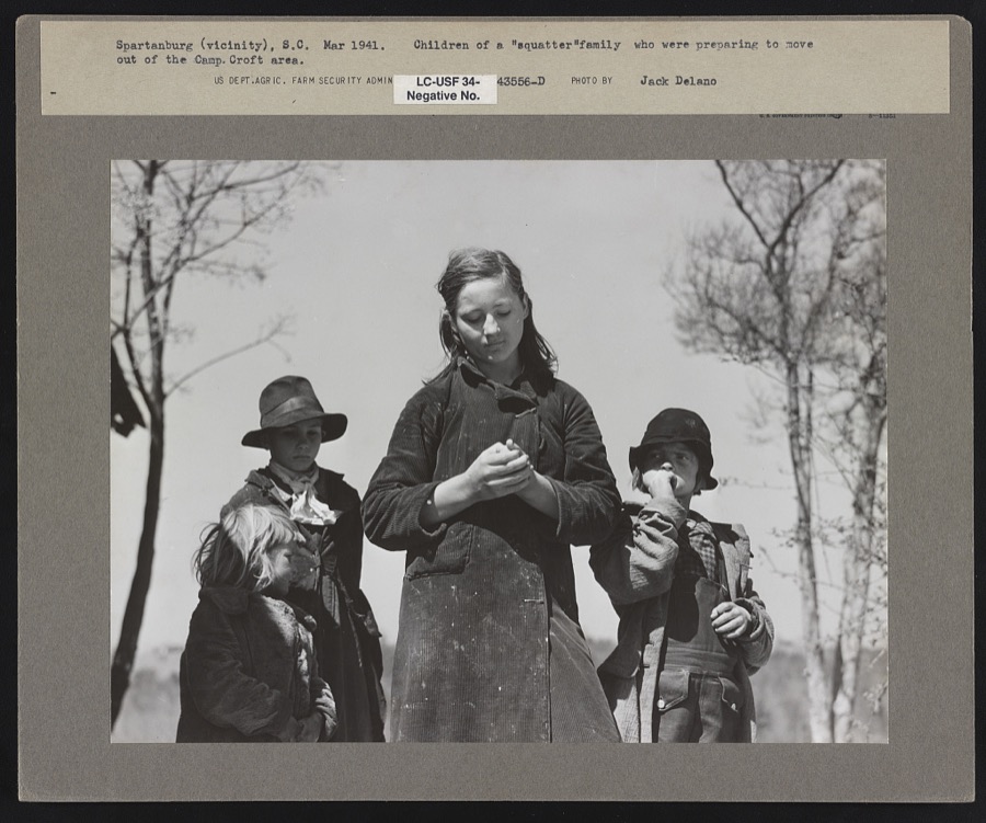
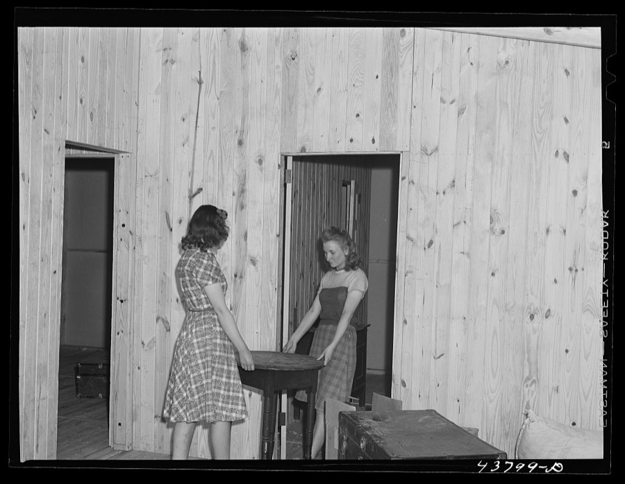
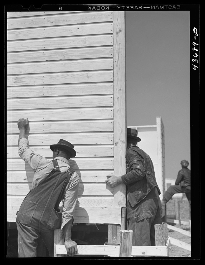
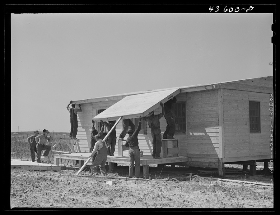
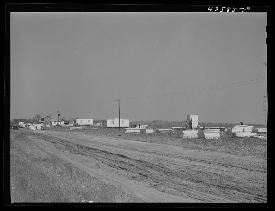
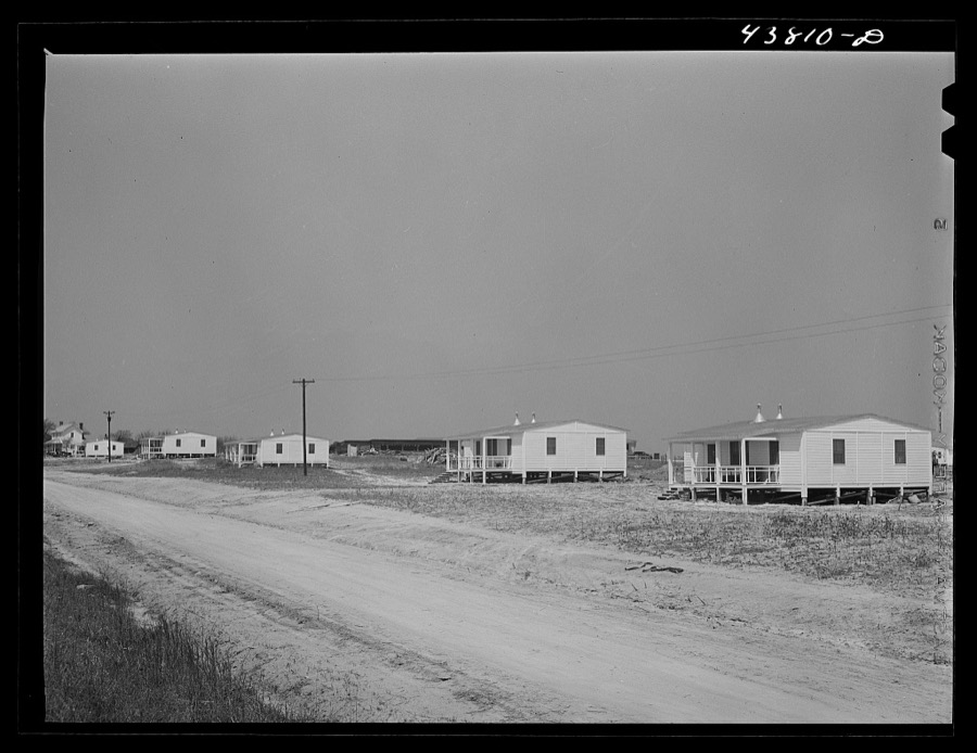
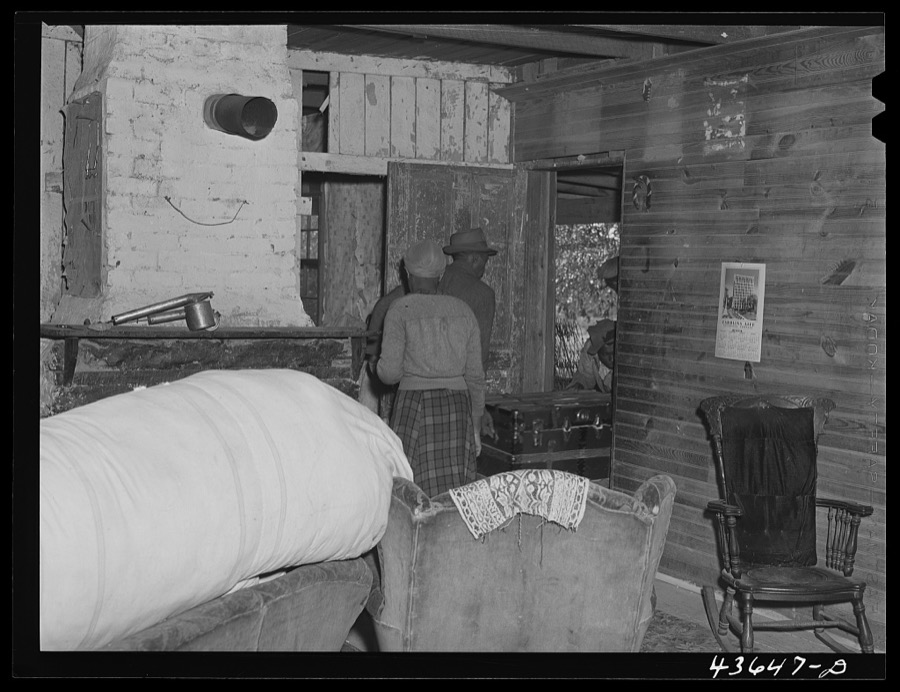
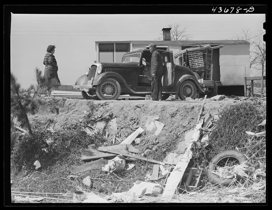
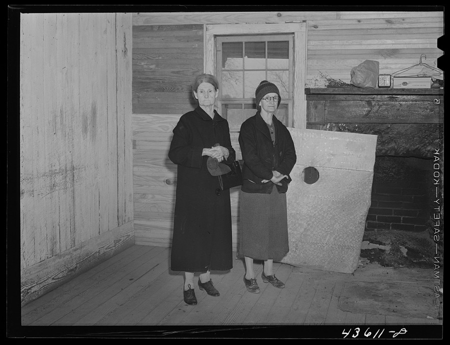
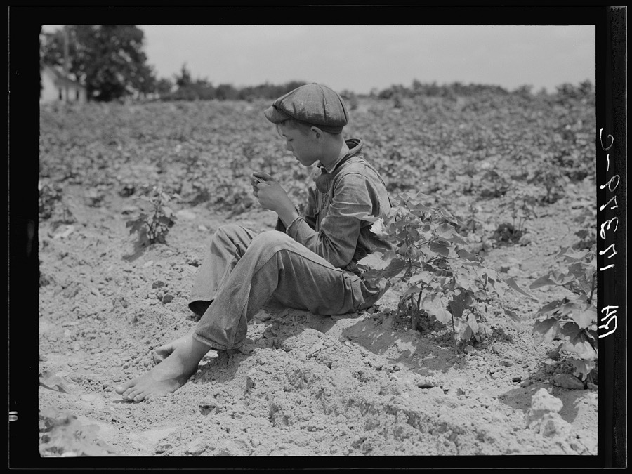
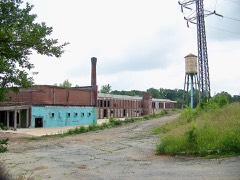
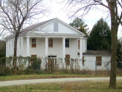
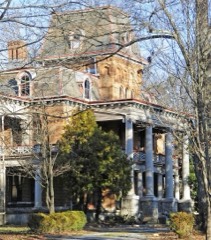
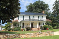
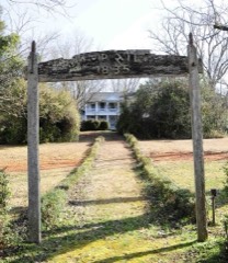
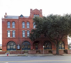
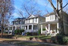
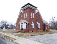
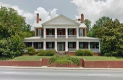
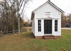
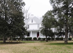
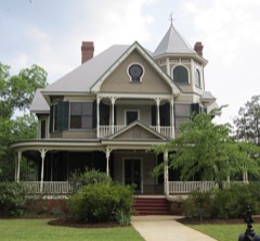
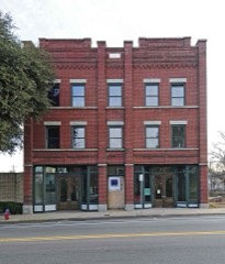
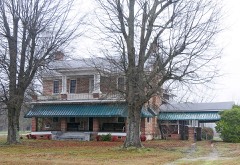
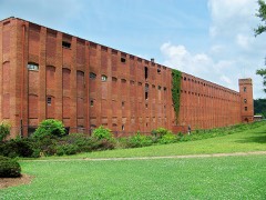
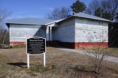
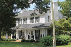
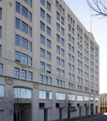
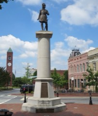
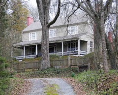
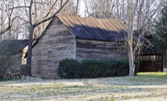
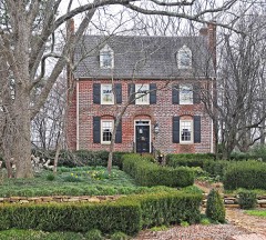
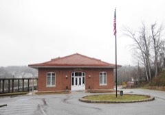
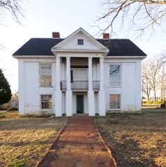
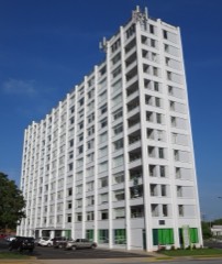
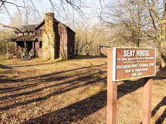
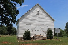
Every property in this county listed on the National Register of Historic Places, with the year it was listed and the federal nomination document.
Sampled issues, machine-read from the Library of Congress scan and published page by page, so every headline and column is searchable text.
Spartanburg, S.C., 1852 to 1896. Machine-read from the Library of Congress scan.
Spartanburg, S.C., 1843 to 1852. Machine-read from the Library of Congress scan.
Spartanburg, S.C., 1896 to 1898. Machine-read from the Library of Congress scan.
Spartanburg, S.C., 1900 to 1906. Machine-read from the Library of Congress scan.
Spartanburg, S.C., 1898 to 1913. Machine-read from the Library of Congress scan.
Spartanburg, S.C., 1913 to 1920. Machine-read from the Library of Congress scan.
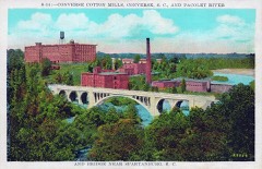
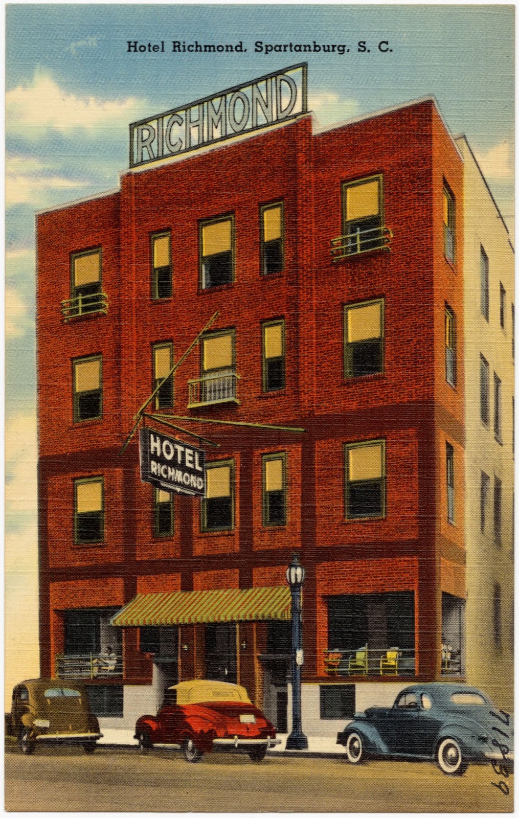
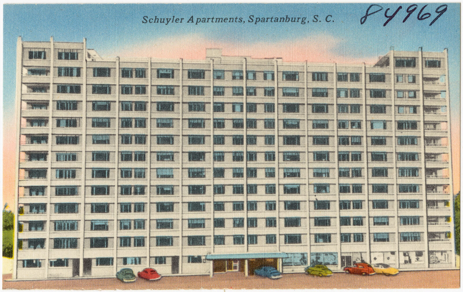
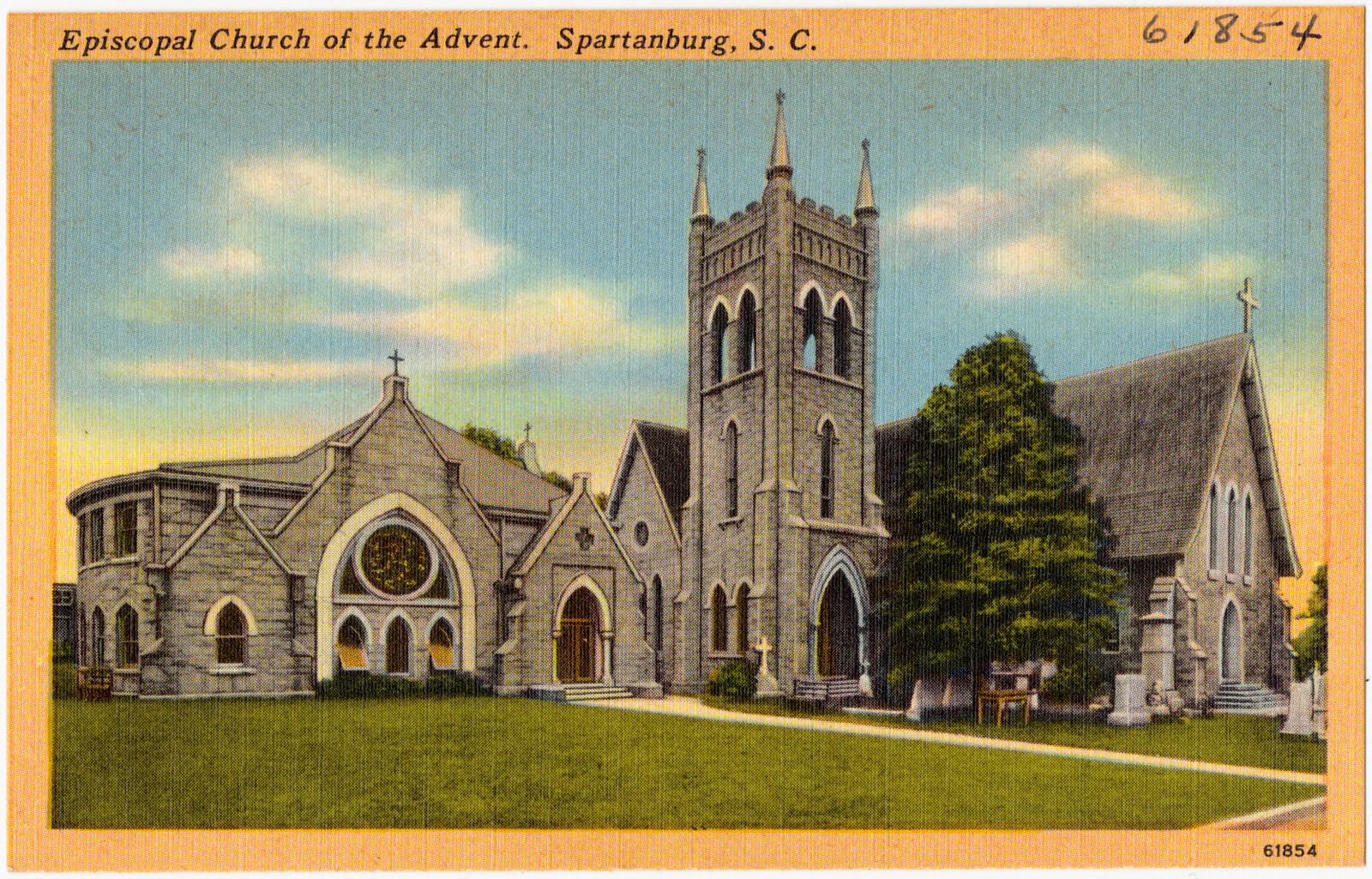
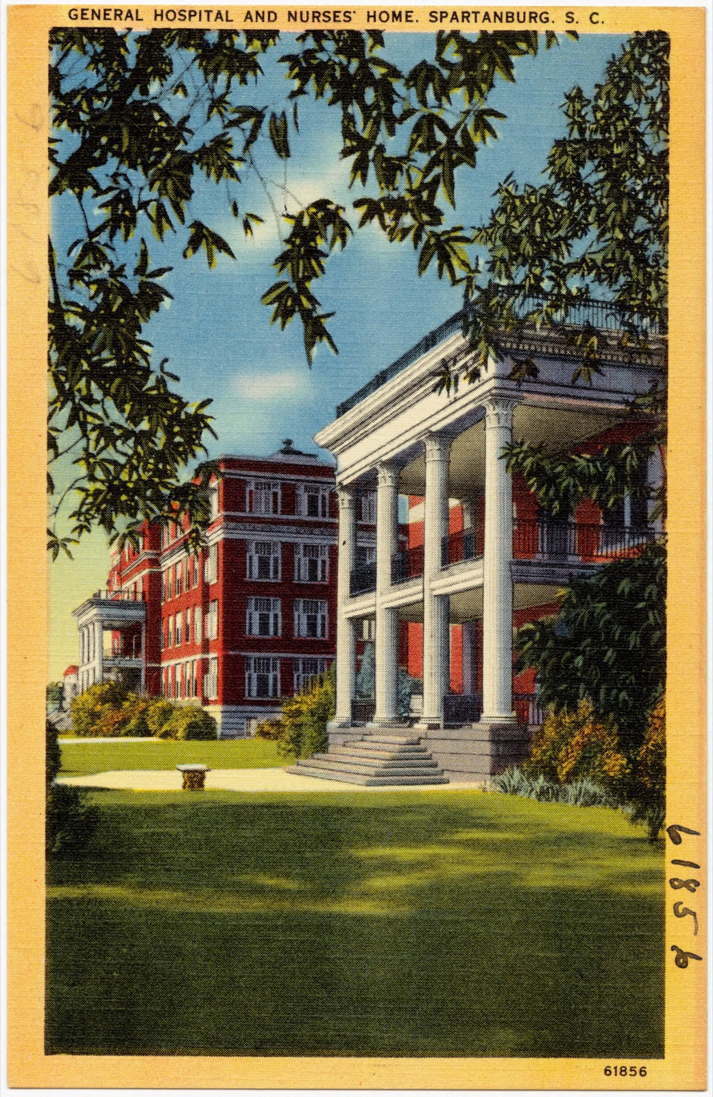
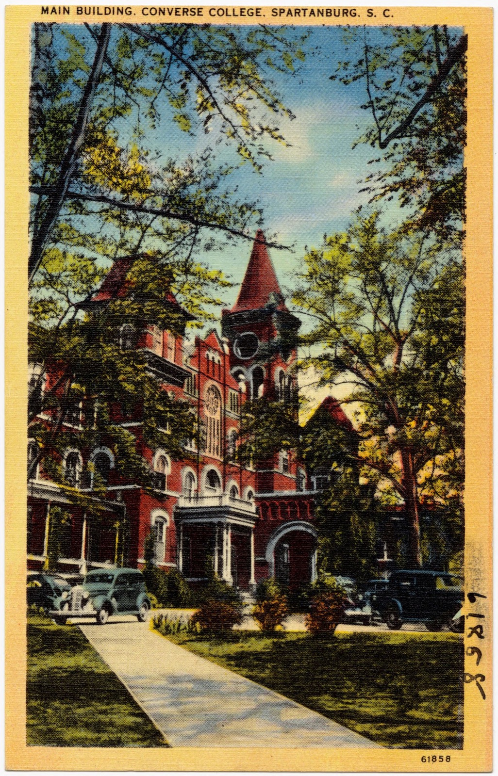
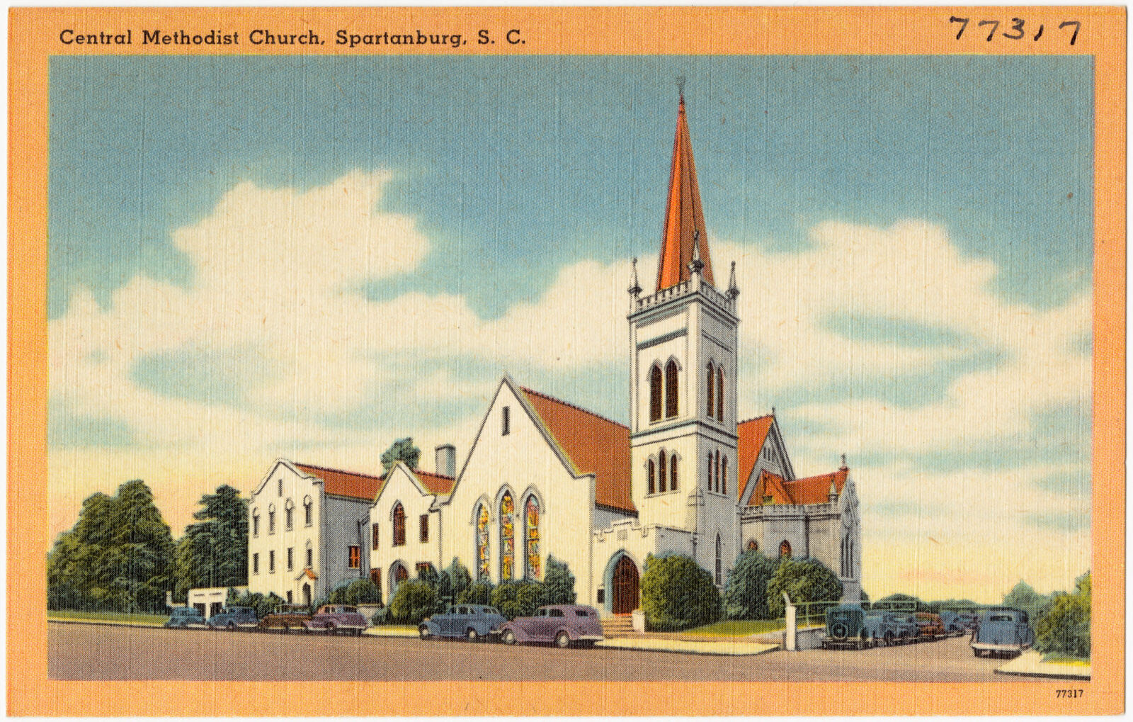
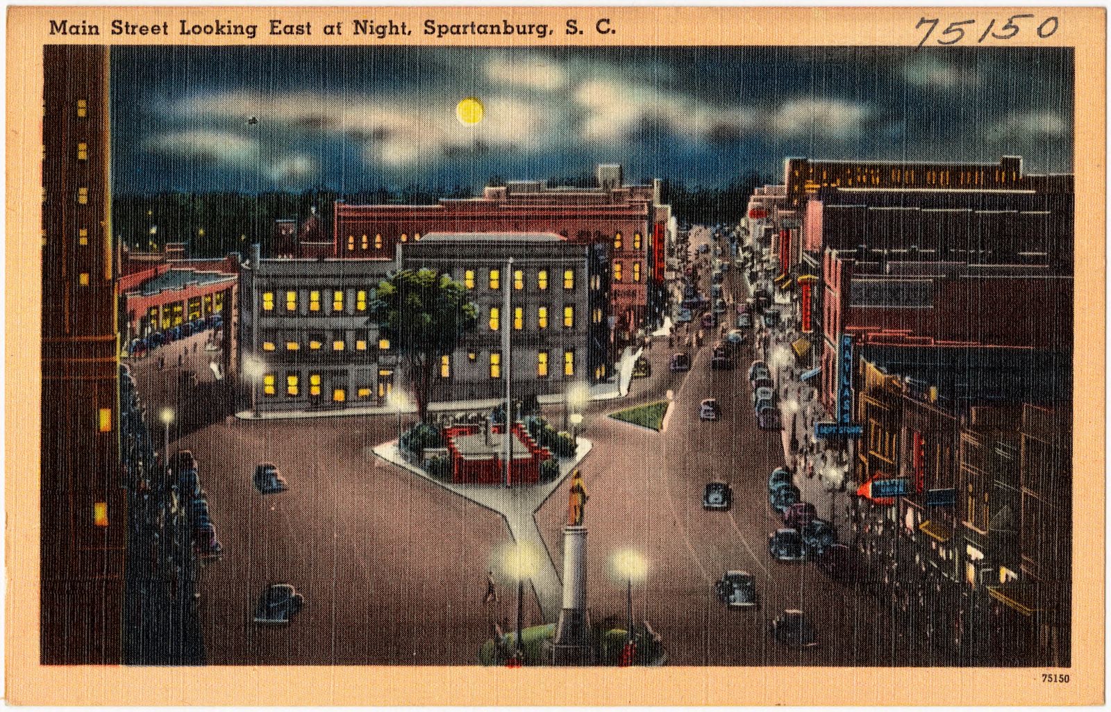
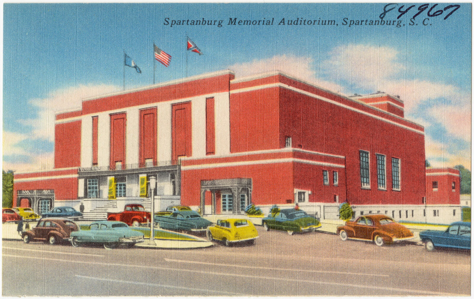
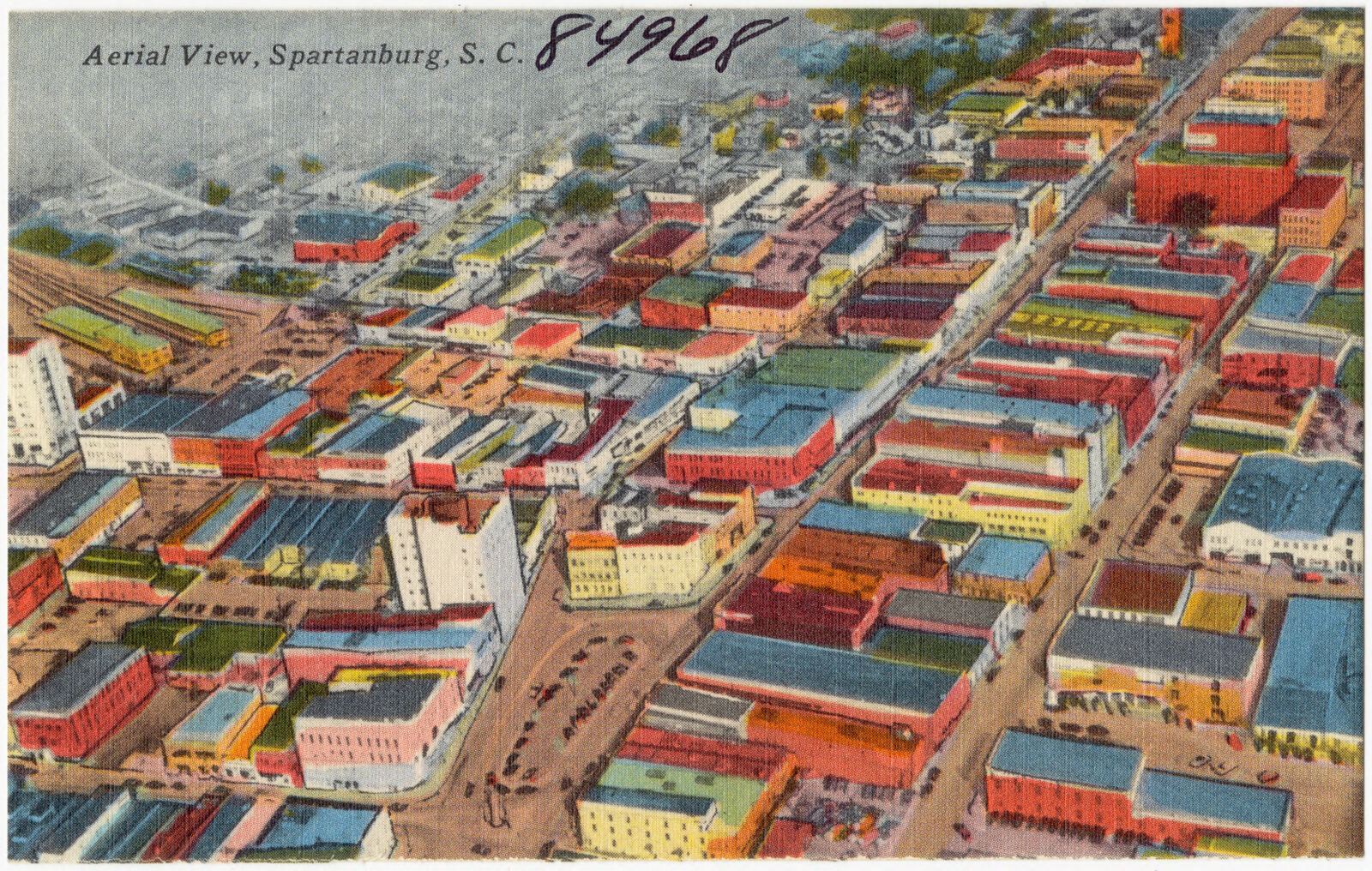
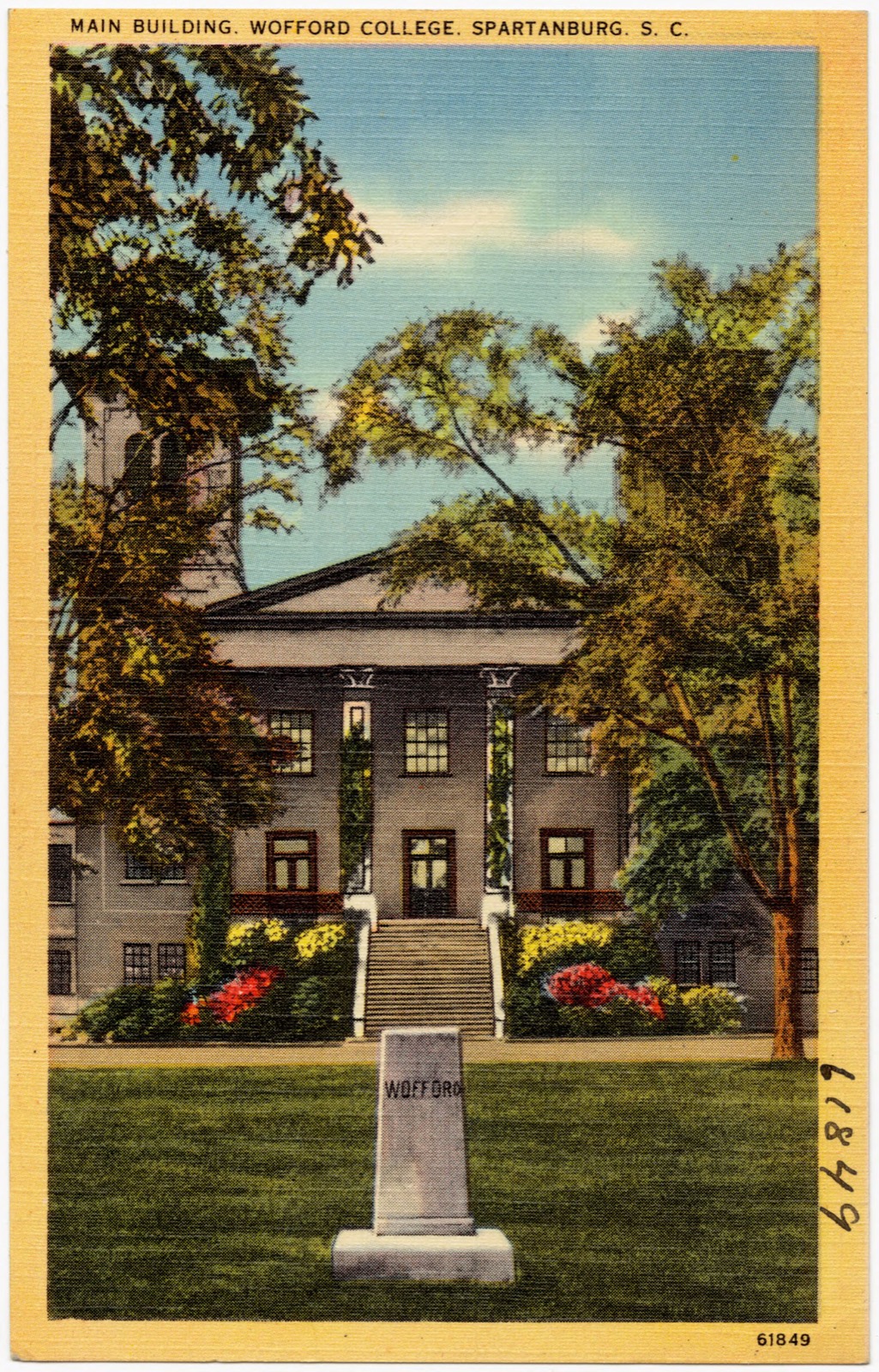
Selected from the Digital Public Library of America's 52 image records catalogued for this county. Every one shown here carries a public-domain status or a licence that permits reuse on a site that carries advertising; non-commercial, share-alike and restricted images are excluded. The selection is spread across the county's towns (at most eight per town), so no single institution's bulk upload crowds out the rest. Each opens the holding library's record, and the complete set at the Digital Public Library of America is one click away.

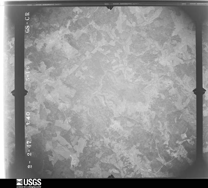
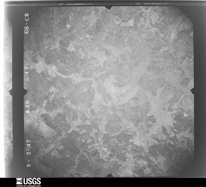
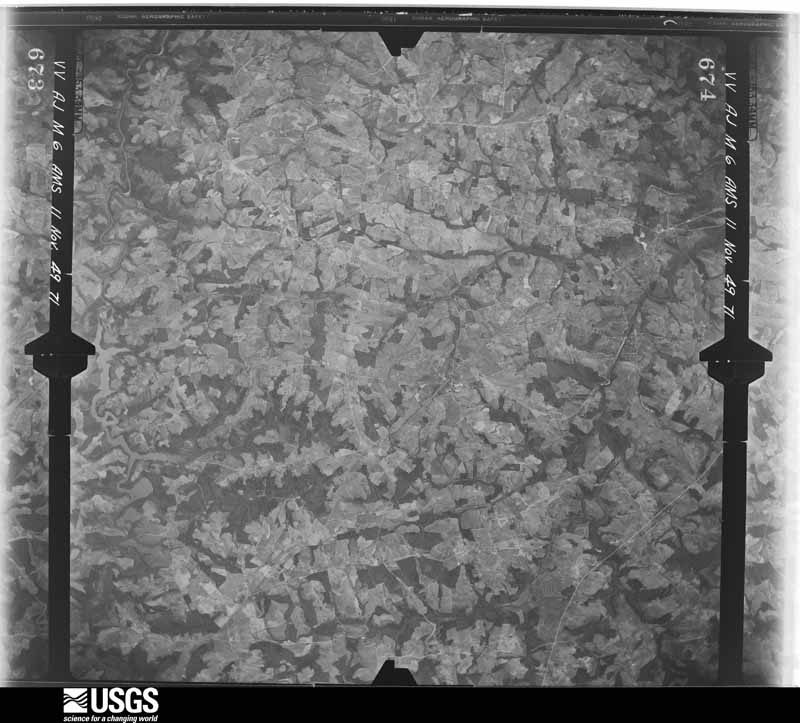
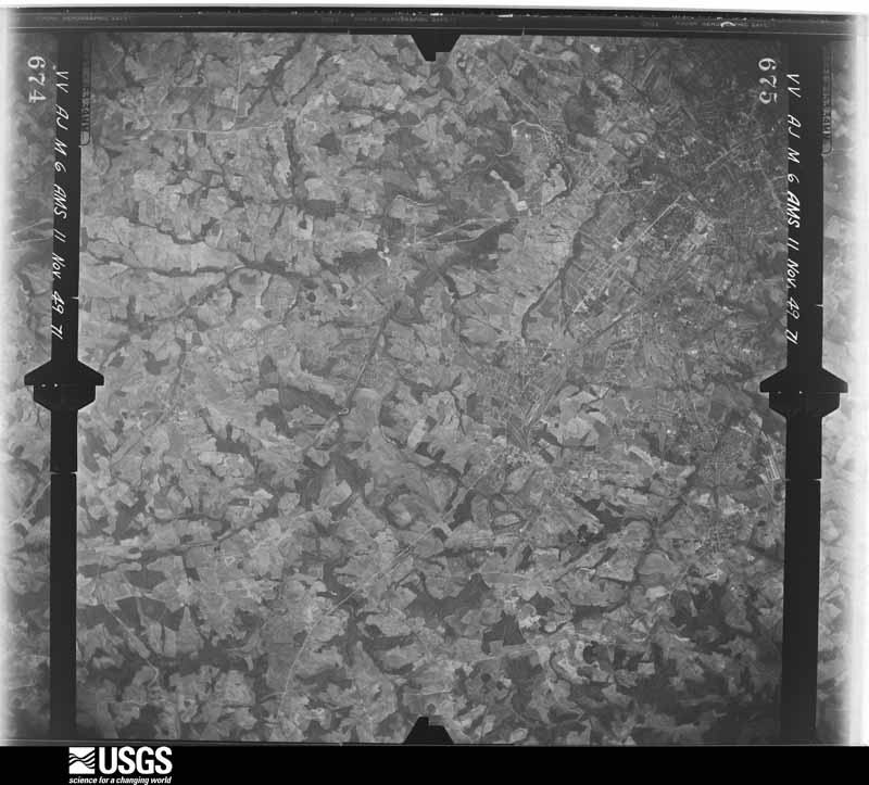
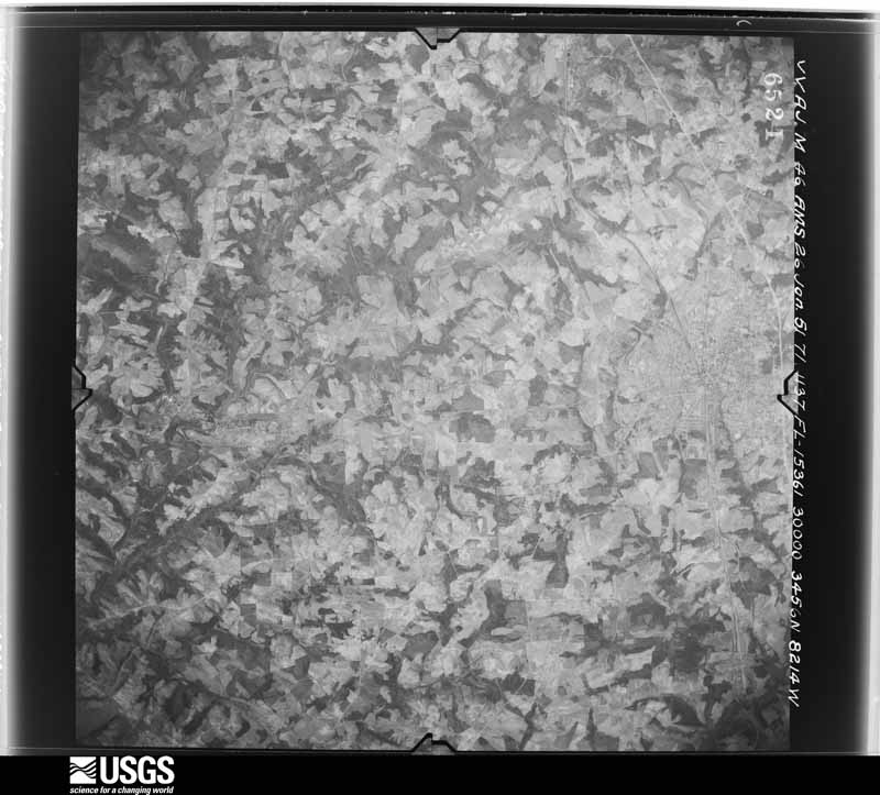
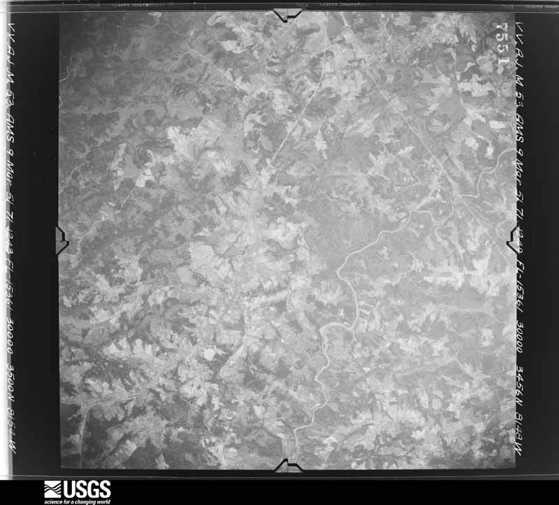
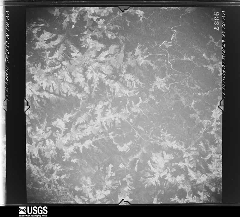
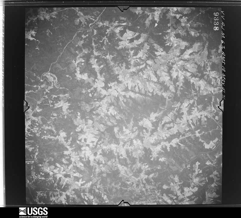
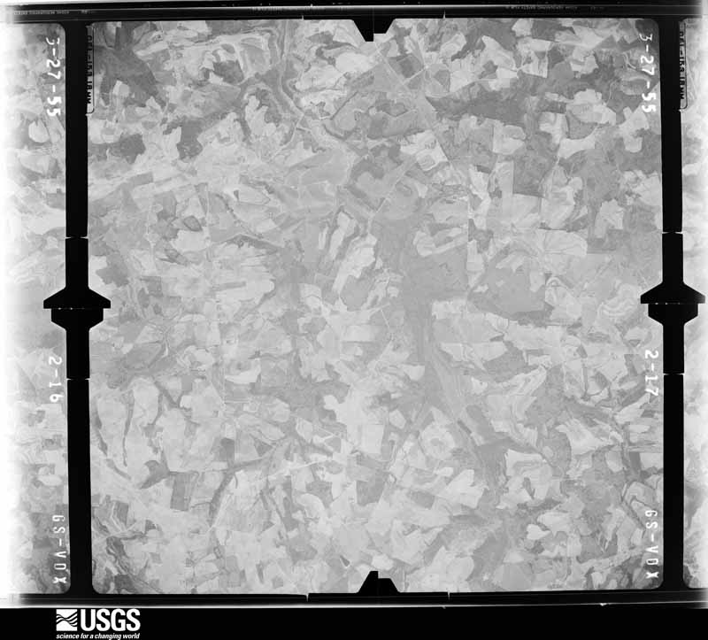
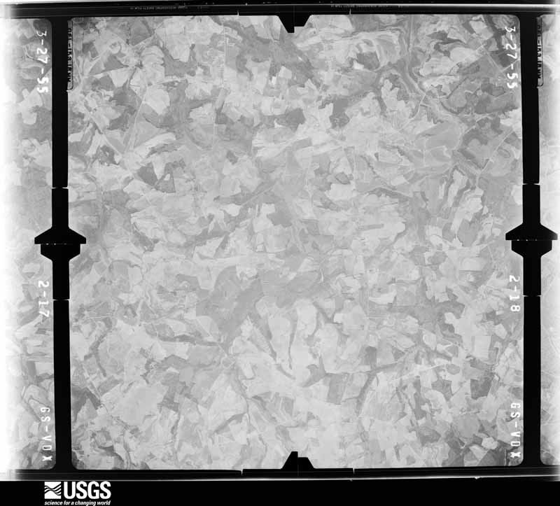
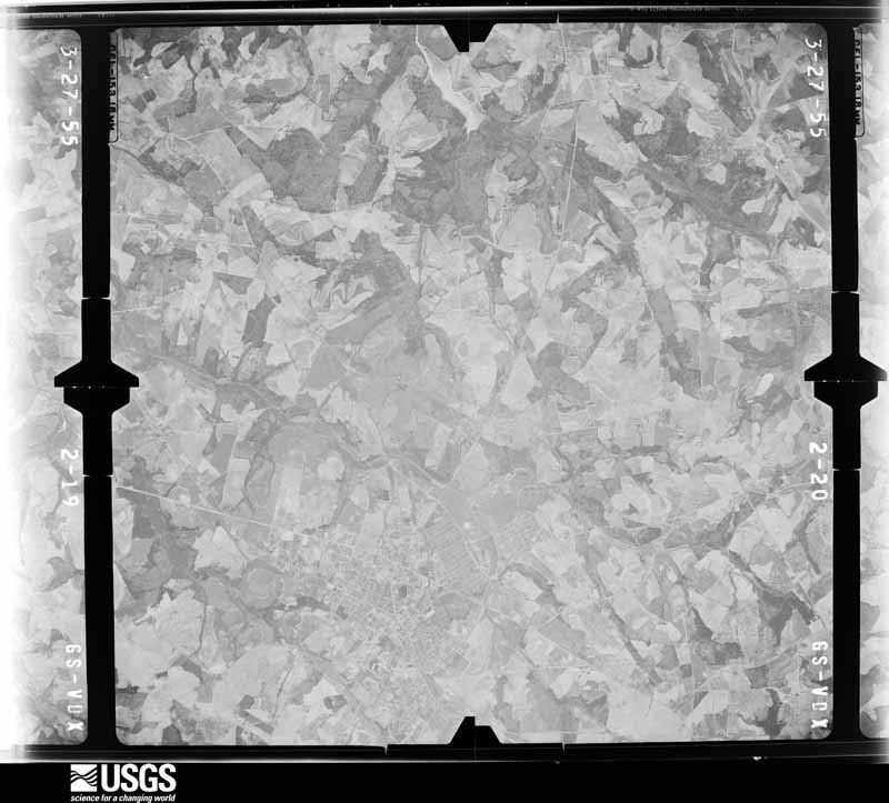
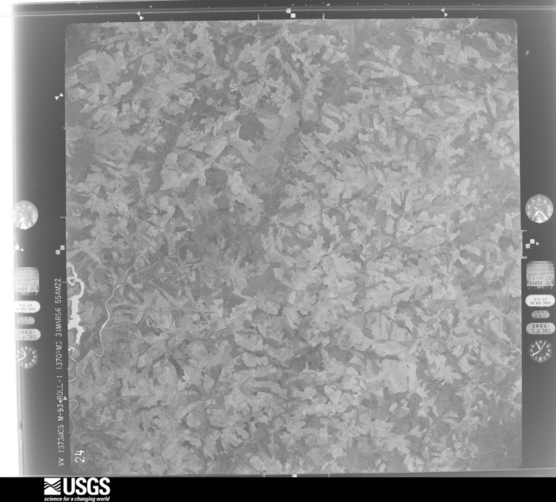
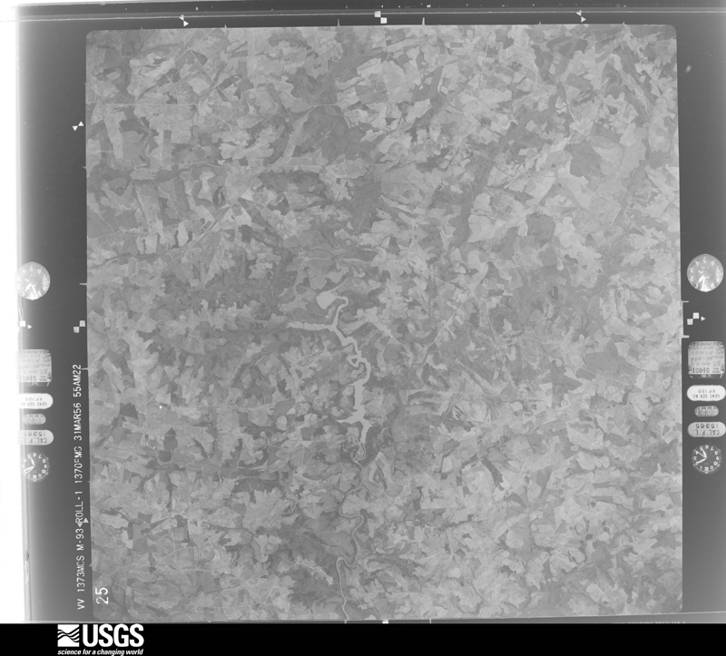
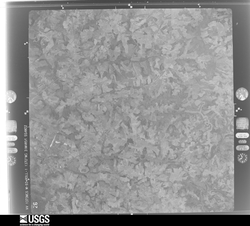
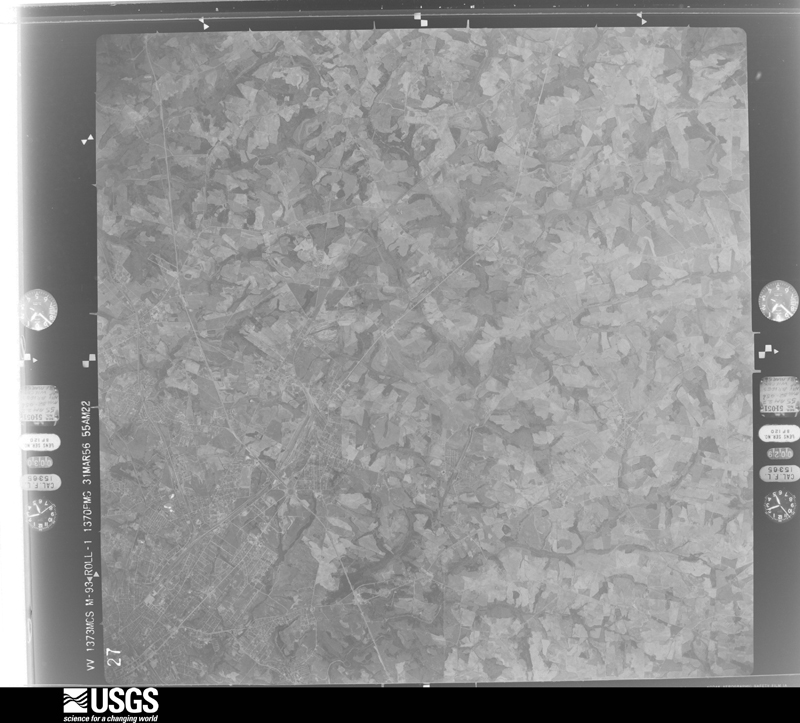
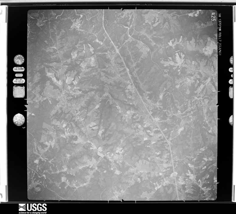
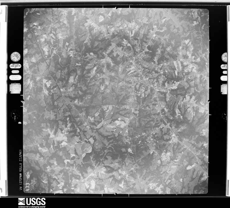
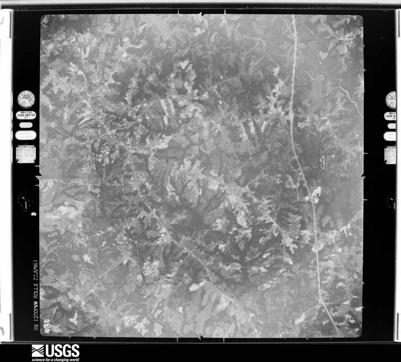
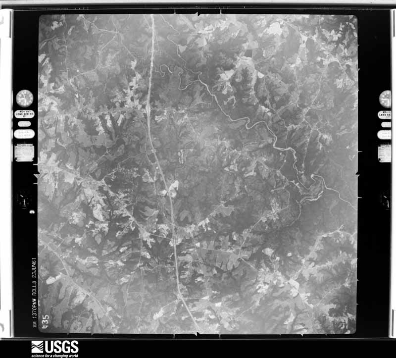
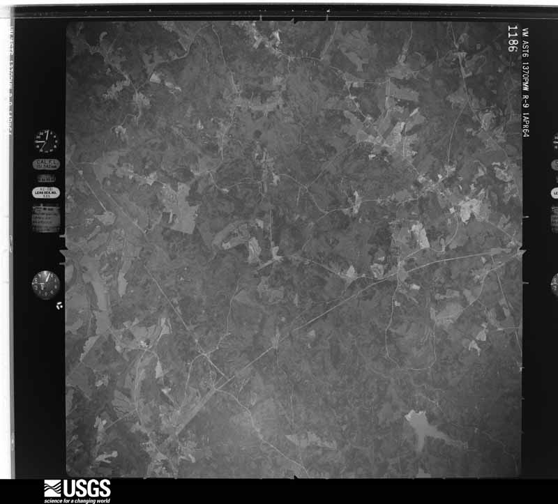
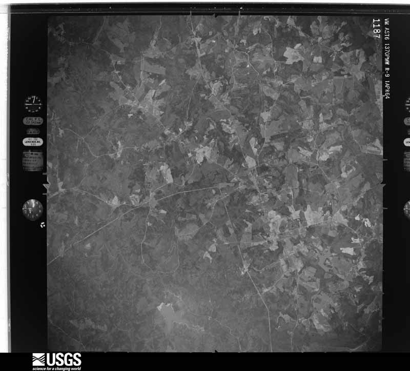
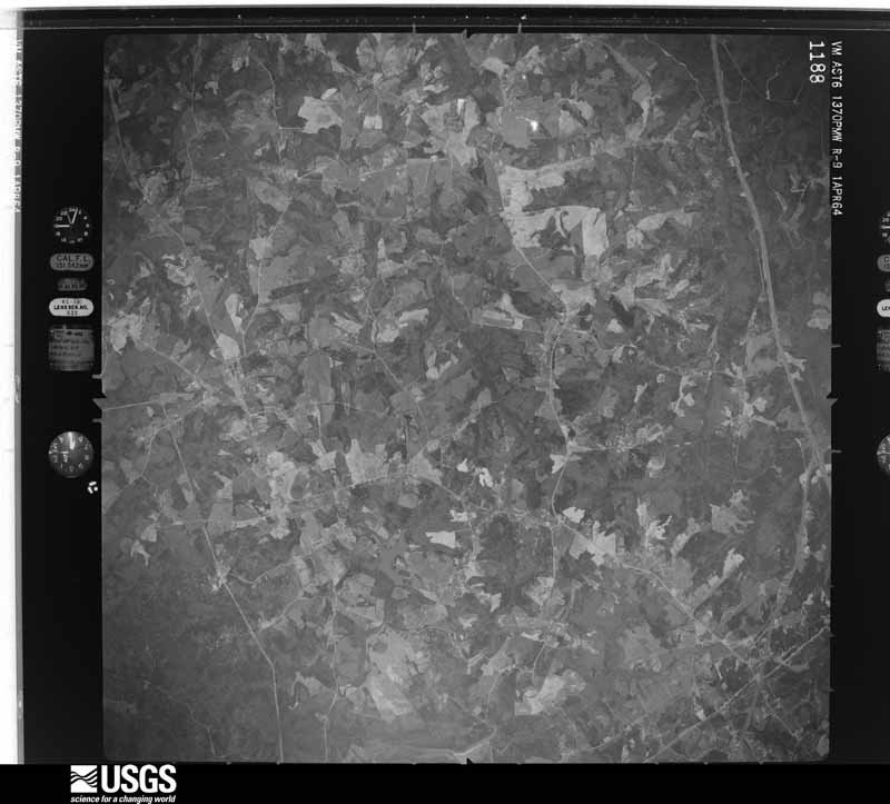
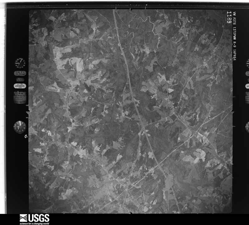
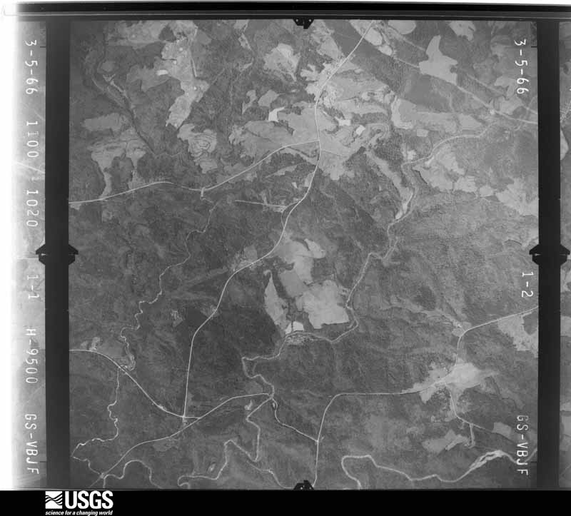
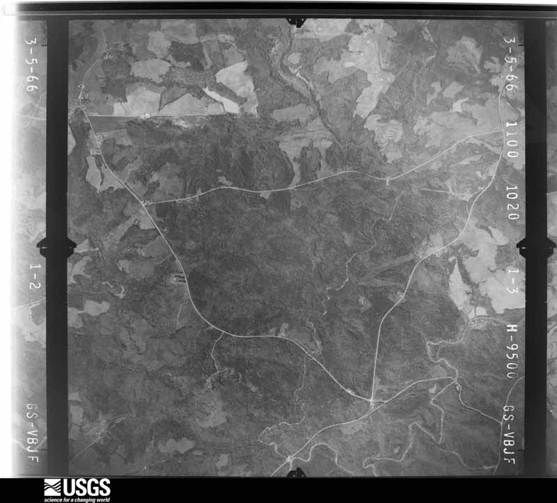
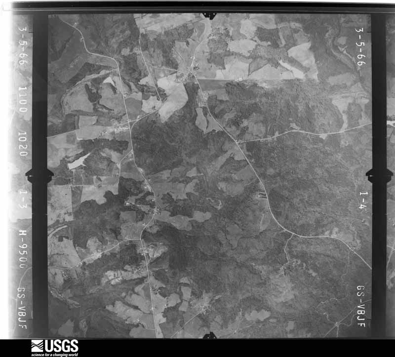
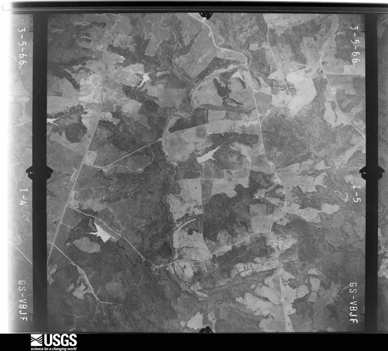
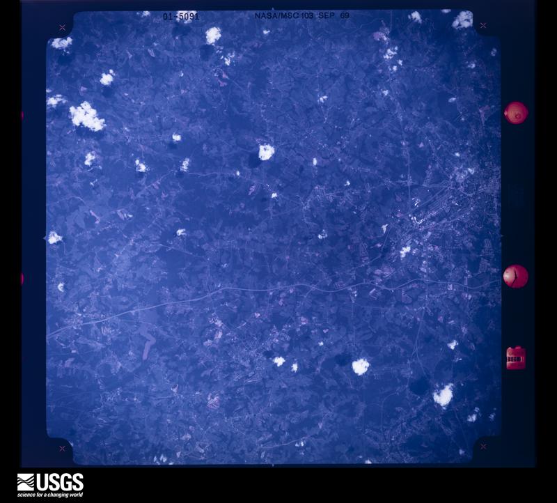
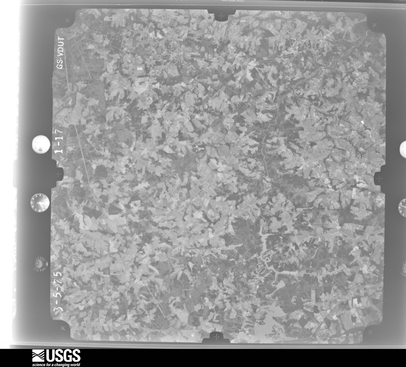
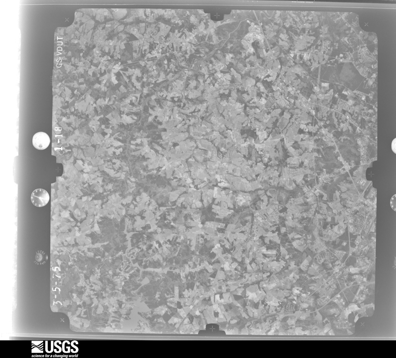
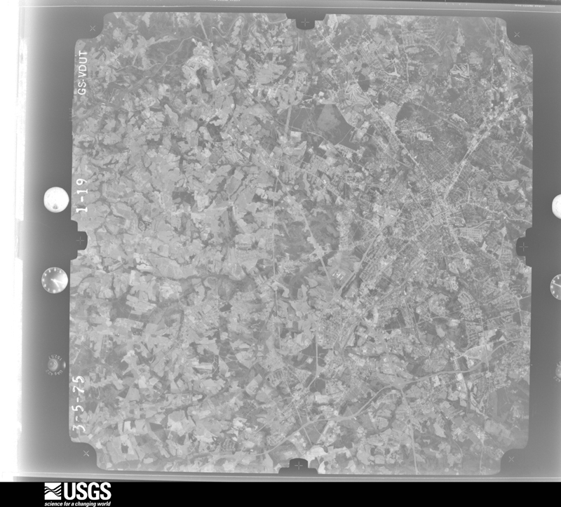
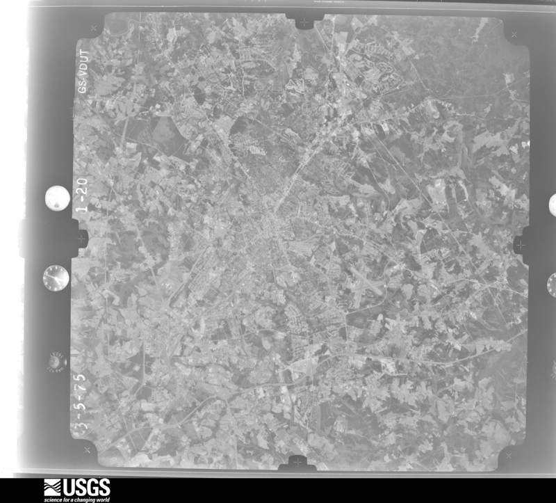
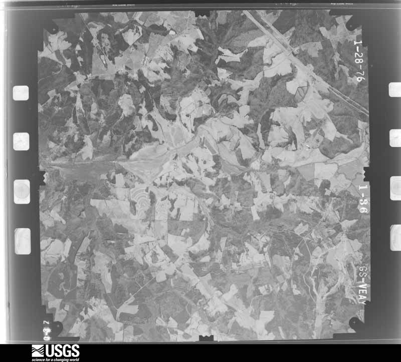
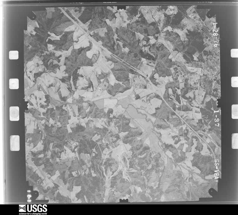
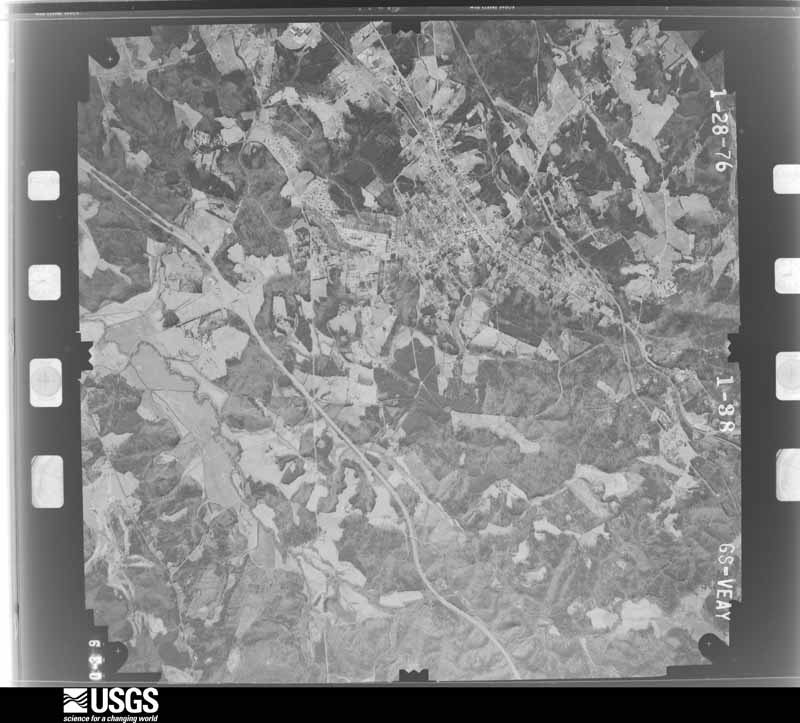
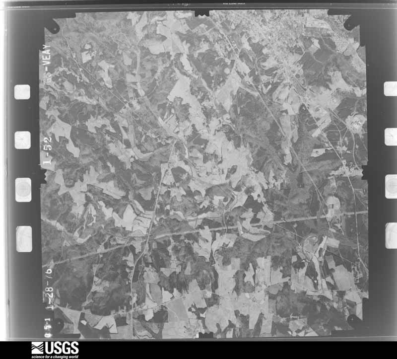
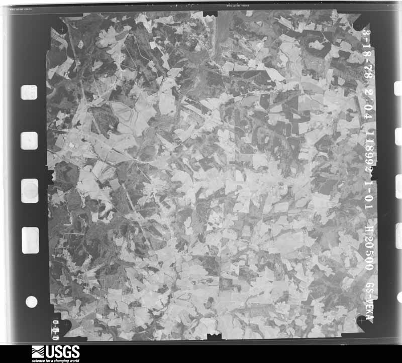
Flown by the U.S. Geological Survey between 1937 and 1989, the Aerial Photo Single Frames collection is the definitive mid-century view of the land: fields, roads and rivers as the camera saw them. The Survey holds 1,418 frames inside the rectangle that bounds this county; the 45 frames below were taken over the county itself, chosen across the decades of flights (at most four a year from that rectangle), so one flight cannot crowd out the rest. The full set is free to browse and download at EarthExplorer under the dataset Aerial Photo Single Frames.




The thermometers that kept this county's weather, and the gages that measured the flow of its streams, as the federal records hold them. The extremes below are measured values from those records, not estimates.
Who lived here in 1950, one enumeration district at a time, as the Census Bureau described each district. Each row opens its official National Archives result, with Population Schedules and ED Maps available there.
Every wildfire the federal occurrence database records inside this county: 1,059 of them, burning about 4,353 acres. 14 started naturally and 69 were recorded as arson. Each settlement page carries the fires within five miles of it.
| Reported cause | Fires |
|---|---|
| Missing data/not specified/undetermined | 501 |
| Debris and open burning | 283 |
| Arson/incendiarism | 69 |
| Misuse of fire by a minor | 67 |
| Equipment and vehicle use | 52 |
| Smoking | 25 |
| Natural | 14 |
| Railroad operations and maintenance | 14 |
| Power generation/transmission/distribution | 13 |
| Recreation and ceremony | 11 |
| Other causes | 7 |
| Fireworks | 3 |
The five largest, by the area the report gives. One of them was set deliberately.
| Date | Cause | Size | Reported by | Name on the report |
|---|---|---|---|---|
| 21 February 2011 | Equipment and vehicle use | 80 acres | South Carolina Forestry Commission | not named |
| 31 August 1993 | Missing data/not specified/undetermined | 80 acres | South Carolina Forestry Commission | not named |
| 10 February 2008 | Missing data/not specified/undetermined | 70 acres | South Carolina Forestry Commission | WOOD MEMORIAL PARK |
| 5 July 1993 | Missing data/not specified/undetermined | 60 acres | South Carolina Forestry Commission | not named |
| 7 March 2013 | Equipment and vehicle use | 58 acres | South Carolina Forestry Commission | not named |
| 4 April 1992 | Missing data/not specified/undetermined | 55 acres | South Carolina Forestry Commission | not named |
| 11 June 2004 | Arson/incendiarism | 53 acres | South Carolina Forestry Commission | not named |
| 21 February 2011 | Missing data/not specified/undetermined | 50 acres | South Carolina Forestry Commission | not named |
Every settlement page carries the fires within five miles of it - see the settlement index below.
The NOAA Storm Events Database holds 1,079 reports for this county, causing 8 deaths, 126 injuries and about $55,677,340 in recorded property damage. Each settlement page carries the reports that name it.
| Kind of event | Reports |
|---|---|
| Thunderstorm Wind | 582 |
| Hail | 349 |
| Flash Flood | 44 |
| Tornado | 35 |
| Lightning | 34 |
| Flood | 20 |
| Heavy Rain | 13 |
| Funnel Cloud | 2 |
The most serious of them, by death, then injury, then recorded damage. The accounts are quoted exactly as the forecast office filed them.
| When | Event | Place named | Harm | What the report says |
|---|---|---|---|---|
| May 1989 | Tornado (F4) | not stated | 2 killed, 35 hurt, $2,500,000 | no account filed |
| May 1952 | Tornado (F3) | not stated | 2 killed, 4 hurt, $30 | no account filed |
| October 2015 | Flash Flood | Saxon | 1 killed, 1 hurt, $200,000 | County comms and FD reported significant flash flooding developed on the north side of the city of Spartanburg after 3 to 5 inches of rain fell in only a couple of hours. Multiple roads were closed due to poor drainage flooding and due to Chinquapin Creek and other small tributaries overflowing their banks. A 56-year-old woman drowned in her vehicle when she drove into water on New Cut Rd. A man was injured when he drove his truck into a collapsed culvert on Hayne St near Ethel Rd. Water from Chinquapin Creek entered homes on Pearson St. Water from an overflowing tributary of Lawsons Fork Creek entered about a dozen apartment units at USC Upstate. Closed roads included Asheville Highway, Howard St, Valley Falls Rd, New Cut Rd and I-85 Business. Wet soil and erosion caused a tree to fell on a home in the Una Community. |
| August 2007 | Lightning | Spartanburg | 1 killed, 1 hurt | no account filed |
| September 2024 | Flash Flood | Landrum | 1 killed, $30,000 | Stream gauges across the Pacolet River basin indicated flash flooding developed after 10-15 inches of rain fell across northern Spartanburg County over three days, with even heavier rainfall occurring over the headwaters in the mountains. The North Pacolet inundated several roads in the north part of the county, including Highway 14, roads near the water treatment plant. Several tributaries of also overflowed their banks, including Buck Creek, which inundated several secondary roads, and Lawsons Fork Creek in Spartanburg, which overflowed onto Heathwood Dr and Lake Forest Dr, as well as at least one private drive. Additionally, the South Pacolet flooded areas of Depot St and Highway 11 in Campobello, while backwater effects into Motlow Creek caused inundation of Old Mill Rd. Other tributaries flooded throughout the norther part of the county, including a tributary of Dillard Creek, which flooded East Howell Rd in Greer. An 88-year-old male was killed when his vehicle was submerged in floodwater near Landrum. |
| August 2006 | Lightning | Lyman | 1 killed | Lightning struck a tree on Vernon St in Lyman, killing a 40-year-old woman who was tending to her dogs. Four dogs were killed as well. |
| August 1985 | Tornado (F2) | not stated | 39 hurt, $2,500,000 | no account filed |
| May 1973 | Tornado (F3) | not stated | 16 hurt, $2,500,000 | no account filed |
| July 2008 | Lightning | Cooley Spgs | 8 hurt | Eight men were struck by lightning in a peach orchard near the intersection of Burnetts Rd and Martin Camp Rd. |
| March 1994 | Tornado (F1) | Lyman to Blackburg | 4 hurt, $500,000 | no account filed |
| April 1990 | Tornado (F1) | not stated | 4 hurt, $250,000 | no account filed |
| July 2012 | Thunderstorm Wind | Saxon | 2 hurt | A tree fell on a vehicle and trapped three occupants on Briarwood Rd. Two of the occupants were treated for minor injuries. Multiple large trees, limbs and power lines|were blown down across Fernwood Dr near Bellwood Dr. Large limbs fell on two homes on Fernwood Dr. |
| April 1990 | Thunderstorm Wind | not stated | 2 hurt | no account filed |
| April 1990 | Thunderstorm Wind | not stated | 2 hurt | no account filed |
| October 2017 | Tornado (EF2) | Una | 1 hurt, $1,000,000 | Nws survey found that a second, more intense tornado touched down on the northwest side of Spartanburg, along Business 85 near Spartanburg Community College. The tornado reached its peak intensity almost immediately upon touching down, as a warehouse building near the intersection of Spring St and Simuel Rd suffered extensive damage, with the collapse of an exterior wall, and much of the roof removed. Multiple trailers were damaged or destroyed and several cars flipped in a parking lot at an adjacent business at|Garrett Rd and Spring St. A person who sought shelter in a glass booth under a metal awning structure at this location was hospitalized with burst ear drums due to the extreme change in air pressure. A warehouse building also lost much of its roofing here. The tornado continued east/northeast, paralleling Business 85, snapping trees along New Cut Rd, and collapsing a wall at another warehouse style building on Buffington Rd. The tornado appeared to weaken considerably from this point, with damage primarily limited to downed trees and limbs until the path ended near the intersection of Business 85 and Highway 9. |
| May 2003 | Thunderstorm Wind | Spartanburg | 1 hurt, $50,000 | Numerous trees and power lines were blown down, some of which fell on structures. Two mobile homes had their roofs blown off in Roebuck. A female was injured by a fallen tree. |
| July 2014 | Lightning | Startex | 1 hurt | Media reported a teenage male received minor injuries and a dog was killed when lightning struck a nearby chain link fence on Blue Springs Dr. |
| June 2004 | Lightning | Boiling Spgs | 1 hurt | A 13-year-old boy suffered minor injuries when lightning struck nearby while he was holding his bicycle. |
| May 2003 | Lightning | Spartanburg | 1 hurt | no account filed |
| December 1991 | Thunderstorm Wind | not stated | 1 hurt | no account filed |
| April 1990 | Thunderstorm Wind | not stated | 1 hurt | no account filed |
| August 1986 | Hail | not stated | 1 hurt | no account filed |
| February 2020 | Tornado (EF1) | Clevedale | $10,000,000 | NWS storm survey found the path of an EF1 tornado that began in the west Spartanburg/Clevedale area, near the intersection of Willis Rd and Harvest Brook Way. Damage was primarily limited to downed trees in this residential area, although one tree fell on and damaged a home. Structural damage increased as the tornado moved through the Westgate Mall and Dorman Center areas near the Highway 29/I-26 intersection, with business signs being damaged and roof damage occurring to several homes and apartment buildings just east of Westgate Mall. This same neighborhood was impacted by another EF1 tornado in October 2017. The tornado strengthened as it moved east of this area, along West Main St toward downtown. Businesses lost roof panels, and at least one small outbuilding was destroyed. Tree damage was observed in downtown Spartanburg and in the Converse Heights neighborhood east of downtown. Though the tornado was not as intense by that time, trees continued to be uprooted along the path of the tornado until it dissipated near Zion Hill Rd on the eastern outskirts of the city. In all, more than 400 homes and businesses were damaged, either directly by wind or by falling trees. |
| August 1999 | Hail | Spartanburg | $9,000,000 | no account filed |
| June 2007 | Thunderstorm Wind | Campobello | $8,000,000 | A large manufacturing building under construction (about 90 percent complete) near the highway 11/I-26 intersection collapsed due to strong winds. Some construction equipment was heavily damaged or destroyed by the collapsing building. Large tree limbs were also blown down nearby. |
| May 2014 | Hail | Spartanburg | $3,000,000 | Public reported up to golf ball size hail from the west side of Spartanburg to the area around Spartanburg Regional Hospital. |
| August 1998 | Flash Flood | Spartanburg | $2,500,000 | A flash flood developed rapidly late in the evening following 4 to 5 inches of rainfall in a short time. The flash flood affected several creeks from the city of Spartanburg southward to Roebuck, Walnut Grove, and Pauline. The most damage may have occurred along Timms Creek and Lawson Fork Creek. Several roads were washed out, several people required rescue from their homes, a country club experienced severe damage, and a restaurant was destroyed. Most of the severe flooding was in the first 2 hours. |
| August 2005 | Flash Flood | Boiling Spgs | $1,500,000 | Flash flooding developed along several creeks in the Boiling Springs area, including Shoally Creek. A pond also overflowed. Water entered 10-15 homes in a new subdivision. |
| July 2005 | Flash Flood | North Portion | $1,100,000 | By 10 AM, flooding became severe, with several vehicles trapped in water. A woman required rescue when she abandoned her flooded car on Bryant Rd in Inman and clung to a tree to escape flood water. Another woman required rescue when she climbed on the roof of her car to avoid flood water on Chapman Rd near Boiling Springs. At least one other woman was rescued from her vehicle in Inman. Water entered several homes in the Boiling Springs area. Numerous roads were closed due to flooding or being washed out, mainly in the Greer, Inman, and Fingerville areas. A portion of Beechwood Dr in Inman was washed out, isolating about 15 homes. In all, about 30 roads were damaged across the county. |
| May 2014 | Hail | Duncan | $1,000,000 | Spotters and the public reported up to golf ball size hail in the Duncan/Reidville/ Moore area. |
| July 2012 | Hail | Saxon | $1,000,000 | An intense hail storm slowly back-built over the southwest side of Spartanburg. Quarter to golf ball size hail fell in the West Spartanburg and Roebuck areas. Two |auto dealerships on Reidville Rd just to the west in Interstate 26 had extensive damage to their inventory. Several residences in this area received roof damage from hail as well. |
| September 2004 | Lightning | Campobello | $1,000,000 | Lightning struck an industrial plant, igniting a fire which destroyed about 2/3 of the facility. |
| August 1999 | Hail | Spartanburg | $1,000,000 | no account filed |
| February 2020 | Flash Flood | Campobello Arpt | $500,000 | Stream gauges indicated flash flooding developed within all of the major watersheds of Spartanburg County after 4 to 6 inches of rain fell in about an 18-hour period, with much of that falling in less than six hours during the morning of the 6th. The Pacolet basin experienced its worst flooding since Tropical Storm Jerry in 1995, while a gauge on the North Pacolet near Fingerville reached its highest stage since 1940. Numerous roads were flooded adjacent to these rivers. The Middle Tyger River flooded from the Greenville County line to below Lake Lyman, where several roads were flooded, including Mount Lebanon Rd. Lawsons Fork Creek overflowed its banks on the east side of Spartanburg and flooded several roads. The Enoree River also flooded multiple roads from the Greenville County border through the Woodruff area, including Kilgore Bridge Rd. |
| February 2020 | Flood | Campobello Arpt | $500,000 | Although rainfall rates steadily tapered off across Spartanburg County through the evening, stream gauges reported runoff from earlier heavy rainfall resulted in continued flooding across the Enoree, Tyger, and Pacolet watersheds until after sunrise on the 7th. |
| June 2013 | Thunderstorm Wind | Clevedale | $500,000 | Three large trees were blown down on Anderson Mill Rd, about 5 miles southwest of downtown Spartanburg. Several hangars and ten aircraft were damaged at the Spartanburg Memorial Airport. A tree was blown down on a shed near Spartanburg and multiple trees were blown down from the south side of Spartanburg to near Pacolet. |
| August 1998 | Flash Flood | Spartanburg | $500,000 | For the second consecutive night a flash flood hit Spartanburg. This time the primary flood occurred along Fairforest Creek and the communities affected were the west side of the city, Arcadia, Una, and Reidville Road. A road buckled leaving a 6 to 8 foot crater, rescues of motorists were required at Una, and a motel was flooded which required evacuation of the residents. |
| March 1994 | Tornado (F2) | Inman to to 3 SE Ches | $500,000 | no account filed |
| February 1997 | Tornado (F2) | Roebuck | $330,000 | no account filed |
| June 2011 | Hail | Pelham | $250,000 | Several homes along Abners Creek Rd were severely damaged by wind-driven hail. |
| April 1990 | Tornado (F0) | not stated | $250,000 | no account filed |
| April 1989 | Tornado (F2) | not stated | $250,000 | no account filed |
| May 1980 | Tornado (F2) | not stated | $250,000 | no account filed |
| May 1969 | Tornado (F1) | not stated | $250,000 | no account filed |
| April 2022 | Lightning | Valley Falls | $200,000 | Media reported lightning struck a house in the Boiling Springs area which ignited a fire that destroyed the structure. |
| July 1997 | Flash Flood | Enoree | $200,000 | no account filed |
| June 2015 | Thunderstorm Wind | Boiling Spgs | $150,000 | Parts of roofing were torn from 6 adjacent businesses at a shopping center off Rainbow Lake Rd on the northwest side of Boiling Springs. Heavy rain falling into the open roofs caused significant damage to the interiors of the businesses. |
| May 1998 | Lightning | Spartanburg | $150,000 | no account filed |
| July 2004 | Thunderstorm Wind | Holly Spgs | $110,000 | Numerous trees were blown down. Some trees fell on houses, causing extensive damage to at least one home and trapping residents inside. In addition, the steeple was blown off a church. Some locations were without power for 24 hours. |
| May 2003 | Hail | Spartanburg | $100,000 | Hail on the east side of Spartanburg was responsible for extensive damage to vehicles on auto dealership lots. |
| May 2003 | Thunderstorm Wind | Greer | $100,000 | Most of the roof was blown off of a truck terminal at the intersection of I-85 and highway 101. A gust to 50 knots was measured at the National Weather Service office at GSP Airport. |
| July 2002 | Thunderstorm Wind | Boiling Spgs | $100,000 | A house was heavily damaged. Roofs and porches were removed from several mobile homes. Several barns and outbuildings were also destroyed. In addition, numerous trees and powerlines were blown down. |
| July 1997 | Lightning | Spartanburg | $100,000 | no account filed |
| July 2008 | Lightning | Woodruff | $75,000 | Lightning ignited a fire on Breezy Hill Lane, causing extensive damage to the structure. |
| July 1995 | Thunderstorm Wind | west Spartanburg | $62,000 | ,,,,,,,,Urban Flooding |
| May 1996 | Thunderstorm Wind | Inman | $60,000 | no account filed |
| January 2024 | Flash Flood | Campobello Arpt | $50,000 | Ham radio operators and other sources reported flash flooding developed across northern and central Spartanburg County after around 4 inches of rain fell in around 12 hours. Impacts were mainly due to inundation of roads via small stream flooding or poor drainage. Impacts were especially noteworthy in and near the city of Spartanburg, where multiple vehicles were submerged in floodwater, including at S Irwin Ave Ext at Carolina Dr, S Church St Ext and Staley Dr, New Cut Rd at Caldwell Rd, and Willis Rd at Rossin Ln. Additionally, water from Holston Creek inundated Old Mill Rd near Campobello and Vines Creek overflowed onto Bennetts Bridge Rd near Reidville. |
| August 2024 | Flash Flood | Una | $50,000 | Ham radio operators reported flash flooding developed across portions of Spartanburg County, particularly in the Boiling Springs area, after 2.5 to 4.5 inches of rain fell in just a couple of hours. The primary impacts were along a couple of tributaries of Lawsons Fork Creek on the north side of Spartanburg. Vehicles were submerged in flood waters from these streams at Yellow Brick Rd and Lone Oak Rd, at Monks Grove Church Rd and Asheville Highway, and at Shadow Dance Lane and Old John Dodd Rd. A home was also flooded on Shadow Dance Lane. Additionally, street flooding due to poor drainage was reported at Asheville Highway and White Ave, and in areas around Lake Cooley and Apalachee Lake. |
| April 2017 | Thunderstorm Wind | Campobello | $50,000 | Public reported more than a dozen trees blown down along Farmer Rd, with media reporting siding and shingle damage to homes in the same area. Public also reported siding and shingle damage to homes in the area around New Cut Rd and Gowan Rd. |
| October 2017 | Tornado (EF1) | Enoree | $50,000 | NWS storm survey and dual pol radar data indicated a tornado crossed into Spartanburg County from Laurens County, just north of Highway 49. Damaged outbuildings and downed trees and large limbs were observed on Highway 92 and along Watson Rd near Cross Anchor Highway. The most significant damage in Spartanburg County was found in the Glenn Springs community, at the intersection of Highway 215 and Glenn Springs Rd, where an outbuilding was destroyed and others damaged, numerous trees were downed, and homes received minor structural damage. |
The Survey's mineral resources record lists 89 workings inside this county. 23 still produce and 66 are closed or unrecorded. Each settlement page carries the workings within five miles of it.
| Commodity | Workings |
|---|---|
| Vermiculite | 51 |
| Sand and Gravel, Construction | 7 |
| Stone, Crushed/Broken | 6 |
| Sand | 6 |
| Kyanite | 5 |
| Gold | 4 |
| Mica | 3 |
| Iron | 2 |
| Feldspar | 2 |
| Titanium, Iron | 1 |
| Thorium, Titanium, Zirconium | 1 |
| Granite, Stone, Crushed/Broken | 1 |
| Copper | 1 |
The least common of them first, because a county's hundredth gravel pit says nothing its first ten did not.
| Where | Site | Commodity | Status | Recorded |
|---|---|---|---|---|
| Hammet Mine, Crocker Mine | Gold, Copper | Unknown | 1818, 1825, 1857 | |
| North Spartanburg | Titanium, Iron | Unknown | Placer , Modern , Fluvial | |
| Tyger River | Thorium, Titanium, Zirconium | Unknown | Placer-Modern-Fluvial | |
| Unnamed Granite Quarry | Granite, Stone, Crushed/Broken | Unknown | Metamorphic | |
| I L Tigert Prospect | Iron | Occurrence | ||
| Pacolet Mill | Feldspar | Plant | ||
| Pacolet Mine | Feldspar | Producer | ||
| Stanley Adkins Prospect | Iron | Occurrence | ||
| Cowpens Mine | Mica | Past Producer | ||
| E W. Foster Prospect | Mica | Prospect | ||
| H L Shelton Deposit | Mica | Occurrence | ||
| Hammet Grove Mine | Gold | Past Producer | Metamorphic Stratform | |
| Wolf & Tyger Placer | Gold | Unknown | Placer | |
| Wolf and Tyger Placer | Gold | Past Producer | ||
| Alexander Sillimanite Prospect | Kyanite | Prospect | ||
| Alexander Sillimanite Prospect | Kyanite | Unknown | Metamorphic | |
| Barber Sillimanite Prospect | Kyanite | Prospect | ||
| Barber Sillimanite Prospect | Kyanite | Unknown | Metamorphic | |
| Gideon Sillimanite Prospect | Kyanite | Prospect | ||
| Chapman Sand Plant #6 (Converse) | Sand | Unknown | Sedimentary | |
| Deaton's Sand Pit | Sand | Unknown | Sedimentary | |
| Fairforest Creek Sand Mine | Sand | Unknown | Sedimentary | |
| Inman Quarry | Stone, Crushed/Broken | Producer | Metamorphic | |
| Inman Quarry | Stone, Crushed/Broken | Producer | ||
| North Pacolet River Mine | Sand | Unknown | Sedimentary | |
| North Pacolet Sand | Sand | Unknown | Sedimentary | |
| Pacolet Quarry | Stone, Crushed/Broken | Producer | Igneous | |
| Pacolet Quarry | Stone, Crushed/Broken | Producer | ||
| Pelham Quarry | Stone, Crushed/Broken | Producer | Metamorphic | |
| Pelham Quarry | Stone, Crushed/Broken | Producer | ||
| South Pacolet River | Sand | Unknown | Sedimentary | |
| Cresent Dredge | Sand and Gravel, Construction | Producer | ||
| Mcmillan Mine | Sand and Gravel, Construction | Unknown | Sedimentary | |
| Merredith Sand Pit | Sand and Gravel, Construction | Past Producer | ||
| Pacolet River Pit | Sand and Gravel, Construction | Unknown | Sedimentary | |
| Pacolet River Pit | Sand and Gravel, Construction | Producer | ||
| Tyger River Mine | Sand and Gravel, Construction | Producer | ||
| Tyger River No. 2 Dredge | Sand and Gravel, Construction | Plant | ||
| Allen #1 Mine | Vermiculite | Past Producer | Metamorphosed Igneous Intrusion | |
| Belk Mine | Vermiculite | Producer | Metamorphosed Igneous Intrusion | |
| Brown #1 and #2 Mine | Vermiculite | Unknown | Metamorphosed Igneous Intrusion | |
| Brown Mine East | Vermiculite | Past Producer | ||
| Brown Mine West | Vermiculite | Past Producer | ||
| C. Casey Mine | Vermiculite | Unknown | Metamorphosed Igneous Intrusion | |
| Canal Mine | Vermiculite | Past Producer | Metamorphosed Igneous Intrusion | |
| Deshields #1 & #2 Mine | Vermiculite | Unknown | Metamorphosed Igneous Intrusion | |
| Deshields #2 Mine | Vermiculite | Past Producer | Metamorphosed Igneous Intrusion | |
| Dillard-Waldrep #3 Mine | Vermiculite | Past Producer | Metamorphosed Igneous Intrusion | |
| Foster #3 | Vermiculite | Past Producer | Metamorphosed Igneous Intrusion | |
| Foster Mine | Vermiculite | Past Producer | Metamorphosed Igneous Intrusion | |
| Fountain Inn #2 Mine | Vermiculite | Past Producer | Metamorphosed Igneous Intrusion | |
| Freeman Casey Mine | Vermiculite | Unknown | Metamorphosed Igneous Intrusion | |
| Gideon | Vermiculite | Producer | Metamorphosed Igneous Intrusion | |
| Gideon Mine | Vermiculite | Past Producer | Metamorphosed Igneous Intrusion | |
| Grace Mine | Vermiculite | Past Producer | ||
| Hanna #1, #2, #3 Mine | Vermiculite | Past Producer | Metamorphosed Igneous Intrusion | |
| Hanna #5 Mine | Vermiculite | Past Producer | Metamorphosed Igneous Intrusion | |
| Hanna #6 Mine | Vermiculite | Unknown | Metamorphosed Igneous Intrusion | |
| Hanna Mine Number 5 | Vermiculite | Past Producer | ||
| Hines-Suber Mine | Vermiculite | Past Producer | Metamorphosed Igneous Intrusion | |
| Johnson | Vermiculite | Producer | Metamorphosed Igneous Intrusion | |
| L.B. Casey | Vermiculite | Unknown | Metamorphosed Igneous Intrusion | |
| Lanford Central Mine and Southern Extension | Vermiculite | Past Producer | Metamorphosed Igneous Intrusion | |
| Martin Mine | Vermiculite | Past Producer | Metamorphosed Igneous Intrusion | |
| Mason #1 Mine | Vermiculite | Past Producer | Metamorphosed Igneous Intrusion | |
| Mason #2 Mine | Vermiculite | Past Producer | Metamorphosed Igneous Intrusion | |
| Meadows Mine | Vermiculite | Past Producer | Metamorphosed Igneous Intrusion | |
| Miller-Thompson Mine | Vermiculite | Producer | Metamorphosed Igneous Intrusion | |
| Myers Mine | Vermiculite | Unknown | Metamorphosed Igneous Intrusion | |
| Patterson Vermiculite--Enoree, Sc | Vermiculite | Producer | ||
| Poole #1 & #2 Mine | Vermiculite | Past Producer | Metamorphosed Igneous Intrusion | |
| Poole #7 Mine | Vermiculite | Past Producer | Metamorphosed Igneous Intrusion | |
| Poole Number 3 Mine | Vermiculite | Past Producer | ||
| Providence Mine | Vermiculite | Producer | Metamorphosed Igneous Intrusion | |
| Rodger Casey Mine | Vermiculite | Past Producer | Metamorphosed Igneous Intrusion | |
| Rodgers Mine | Vermiculite | Producer | Metamorphosed Igneous Intrusion | |
| Schumacher Mine | Vermiculite | Producer | Metamorphosed Igneous Intrusion | |
| Simmons Mine | Vermiculite | Past Producer | Metamorphosed Igneous Intrusion | |
| Spartanburg County Mines | Vermiculite | Producer | ||
| Sumner #1 | Vermiculite | Producer | Metamorphosed Igneous Intrusion | |
| Sumner Mine | Vermiculite | Past Producer | Metamorphosed Igneous Intrusion | |
| Waldrep #2 and #4 Mine | Vermiculite | Past Producer | Metamorphosed Igneous Intrusion | |
| Warren Dillard Mine | Vermiculite | Past Producer | Metamorphosed Igneous Intrusion | |
| Watson Mine | Vermiculite | Past Producer | Metamorphosed Igneous Intrusion | |
| Whitmore Mine | Vermiculite | Unknown | Metamorphosed Igneous Intrusion | |
| Williams Prospect | Vermiculite | Prospect | ||
| Wr Grace, Enoree, S.C. | Vermiculite | Producer | ||
| Yarbourough Mine | Vermiculite | Unknown | Metamorphosed Igneous Intrusion | |
| Young Mine | Vermiculite | Past Producer | Metamorphosed Igneous Intrusion |
One book written about this county, cut here where the book itself is cut, at its printed chapters: 39 chapters in all. Every chapter is public domain, machine-read from the scan and reproduced complete. A chapter already given under one of the county's towns is not repeated in this list.
Named settlements recorded in the Geographic Names Information System, each with the topographic sheets covering it. Villages, hamlets and abandoned places alike. Each is shown with the nearest named watercourse or landform and the survey quadrangle it falls on. The 2 places that were also surveyed for fire insurance come first, with the number of atlases and photographs held for them.
Spartanburg census division · 29306 · On Butterfly Creek · Spartanburg quadrangle
18 sheets, 1941 to 1986
Fire insurance: 10 atlases
Woodruff census division · 29388 · Woodruff quadrangle
8 sheets, 1954 to 1991
Fire insurance: 5 atlases
Spartanburg census division · 29303 · On Betty Green Creek · Spartanburg quadrangle
18 sheets, 1941 to 1986
Gramling census division · 29322 · Campobello quadrangle
15 sheets, 1907 to 1986
No longer a settlement
Spartanburg census division · 29302 · On Halfway Branch · Spartanburg quadrangle
18 sheets, 1941 to 1986
Greer census division · 29651 · On Frohawk Creek · Greer quadrangle
14 sheets, 1935 to 1994
Spartanburg census division · 29306 · On Butterfly Creek · Spartanburg quadrangle
18 sheets, 1941 to 1986
Spartanburg census division · 29307 · On Pole Bridge Branch · Cowpens quadrangle
14 sheets, 1953 to 1991
Spartanburg census division · 29302 · On Halfway Branch · Spartanburg quadrangle
18 sheets, 1941 to 1986
Landrum census division · 29356 · On Clear Branch · Landrum quadrangle
16 sheets, 1907 to 1986
Spartanburg census division · 29302 · On Halfway Branch · Pacolet quadrangle
15 sheets, 1941 to 1986
Spartanburg census division · 29303 · On Betty Green Creek · Valley Falls quadrangle
13 sheets, 1953 to 1991
Boiling Springs census division · 29316 · Valley Falls quadrangle
13 sheets, 1953 to 1991
Boiling Springs census division · 29349 · Inman quadrangle
15 sheets, 1907 to 1986
No longer a settlement
Spartanburg census division · 29306 · On Butterfly Creek · Spartanburg quadrangle
18 sheets, 1941 to 1986
Fairmont Mills census division · 29369 · On Jimmies Creek · Wellford quadrangle
13 sheets, 1935 to 1991
Fingerville census division · 29322 · On Bear Creek · Fingerville West quadrangle
15 sheets, 1907 to 1986
No longer a settlement
Spartanburg census division · 29302 · On Fourmile Branch · Pacolet quadrangle
15 sheets, 1941 to 1986
Greer census division · 29651 · On Wards Creek · Greer quadrangle
14 sheets, 1935 to 1994
Fairmont Mills census division · 29301 · On Frey Creek · Wellford quadrangle
13 sheets, 1935 to 1991
Landrum census division · 29322 · On Motlow Creek · Campobello quadrangle
15 sheets, 1907 to 1986
Spartanburg census division · 29306 · On Reedy Creek · Spartanburg quadrangle
18 sheets, 1941 to 1986
Spartanburg census division · 29307 · On Mineral Spring Branch · Cowpens quadrangle
14 sheets, 1953 to 1991
Spartanburg census division · 29316 · On Persimmon Creek · Valley Falls quadrangle
13 sheets, 1953 to 1991
Boiling Springs census division · 29316 · On Carlisle Branch · Valley Falls quadrangle
13 sheets, 1953 to 1991
Pacolet census division · 29372 · On Browns Branch · Pacolet Mills quadrangle
13 sheets, 1941 to 1986
Greer census division · 29651 · On Victor Creek · Greer quadrangle
14 sheets, 1935 to 1994
Boiling Springs census division · 29323 · On Little Cherokee Creek · Valley Falls quadrangle
13 sheets, 1953 to 1991
Spartanburg census division · 29307 · On Cinder Branch · Pacolet quadrangle
15 sheets, 1941 to 1986
Chesnee census division · 29323 · On Ezell Branch · Chesnee quadrangle
15 sheets, 1953 to 1993
Spartanburg census division · 29307 · On Cinder Branch · Pacolet quadrangle
15 sheets, 1941 to 1986
Boiling Springs census division · 29316 · On Fawn Branch · Valley Falls quadrangle
13 sheets, 1953 to 1991
Boiling Springs census division · 29316 · On Fawn Branch · Valley Falls quadrangle
13 sheets, 1953 to 1991
Spartanburg census division · 29301 · On Frey Creek · Wellford quadrangle
13 sheets, 1935 to 1991
Spartanburg census division · 29307 · On Turkey Hen Branch · Pacolet quadrangle
15 sheets, 1941 to 1986
Cowpens census division · 29307 · On Cinder Branch · Pacolet quadrangle
15 sheets, 1941 to 1986
Spartanburg census division · 29301 · On Jimmies Creek · Wellford quadrangle
13 sheets, 1935 to 1991
Spartanburg census division · 29329 · On Peters Creek · Pacolet quadrangle
15 sheets, 1941 to 1986
Spartanburg census division · 29302 · On Chinquapin Creek · Spartanburg quadrangle
18 sheets, 1941 to 1986
Chesnee census division · 29323 · Fingerville East quadrangle
15 sheets, 1953 to 1993
Spartanburg census division · 29302 · On Fourmile Branch · Pacolet quadrangle
15 sheets, 1941 to 1986
Spartanburg census division · 29302 · On Fourmile Branch · Pacolet quadrangle
15 sheets, 1941 to 1986
Greer census division · 29651 · On Frohawk Creek · Greer quadrangle
14 sheets, 1935 to 1994
Enoree census division · 29335 · Enoree quadrangle
12 sheets, 1941 to 1986
No longer a settlement
Spartanburg census division · 29307 · On Mineral Spring Branch · Pacolet quadrangle
15 sheets, 1941 to 1986
Reidville census division · 29388 · On Perkins Creek · Reidville quadrangle
13 sheets, 1935 to 1991
Inman census division · 29303 · On Greene Creek · Inman quadrangle
15 sheets, 1907 to 1986
Spartanburg census division · 29307 · On Chinquapin Creek · Spartanburg quadrangle
18 sheets, 1941 to 1986
Spartanburg census division · 29307 · On Halfway Branch · Pacolet quadrangle
15 sheets, 1941 to 1986
Pauline census division · 29335 · On Wiley Fork Creek · Cross Anchor quadrangle
15 sheets, 1941 to 1986
Spartanburg census division · 29302 · Spartanburg quadrangle
18 sheets, 1941 to 1986
Spartanburg census division · 29307 · On Pole Bridge Branch · Cowpens quadrangle
14 sheets, 1953 to 1991
Fairmont Mills census division · 29301 · On Jimmies Creek · Wellford quadrangle
13 sheets, 1935 to 1991
Fairmont Mills census division · 29385 · On Frey Creek · Wellford quadrangle
13 sheets, 1935 to 1991
Spartanburg census division · 29303 · On Chinquapin Creek · Spartanburg quadrangle
18 sheets, 1941 to 1986
Greer census division · 29651 · On Frohawk Creek · Greer quadrangle
14 sheets, 1935 to 1994
Spartanburg census division · 29316 · On Little Shoally Creek · Valley Falls quadrangle
13 sheets, 1953 to 1991
Spartanburg census division · 29307 · On Chinquapin Creek · Spartanburg quadrangle
18 sheets, 1941 to 1986
Fingerville census division · 29349 · On Obed Creek · Fingerville West quadrangle
15 sheets, 1907 to 1986
Wellford census division · 29385 · On Jordan Creek · Wellford quadrangle
13 sheets, 1935 to 1991
Pauline census division · 29302 · On Kelsey Creek · Glenn Springs quadrangle
14 sheets, 1941 to 1986
Boiling Springs census division · 29323 · On Casey Creek · Valley Falls quadrangle
13 sheets, 1953 to 1991
Spartanburg census division · 29301 · On Jimmies Creek · Wellford quadrangle
13 sheets, 1935 to 1991
Spartanburg census division · 29376 · On Tim Creek · Moore quadrangle
14 sheets, 1941 to 1986
Spartanburg census division · 29346 · On Fourmile Branch · Pacolet quadrangle
15 sheets, 1941 to 1986
Spartanburg census division · 29303 · Spartanburg quadrangle
18 sheets, 1941 to 1986
No longer a settlement
Pauline census division · 29302 · On Smith Branch · Moore quadrangle
14 sheets, 1941 to 1986
Gramling census division · 29322 · Near Windmill Hill · Campobello quadrangle
15 sheets, 1907 to 1986
Woodruff census division · 29388 · On Quarter Creek · Reidville quadrangle
13 sheets, 1935 to 1991
Spartanburg census division · 29301 · On Frey Creek · Wellford quadrangle
13 sheets, 1935 to 1991
Spartanburg census division · 29306 · On Butterfly Creek · Spartanburg quadrangle
18 sheets, 1941 to 1986
Inman census division · 29349 · On Greene Creek · Inman quadrangle
15 sheets, 1907 to 1986
Inman census division · 29349 · Near Windmill Hill · Inman quadrangle
15 sheets, 1907 to 1986
Spartanburg census division · 29307 · On Halfway Branch · Spartanburg quadrangle
18 sheets, 1941 to 1986
Spartanburg census division · 29307 · On Chinquapin Creek · Spartanburg quadrangle
18 sheets, 1941 to 1986
Enoree census division · 29335 · On Hannah Creek · Enoree quadrangle
12 sheets, 1941 to 1986
Spartanburg census division · 29303 · On Persimmon Creek · Spartanburg quadrangle
18 sheets, 1941 to 1986
Wellford census division · 29365 · On Meadow Creek · Campobello quadrangle
15 sheets, 1907 to 1986
Spartanburg census division · 29301 · On Butterfly Creek · Spartanburg quadrangle
18 sheets, 1941 to 1986
Landrum census division · 29322 · On Clear Branch · Landrum quadrangle
16 sheets, 1907 to 1986
Wellford census division · 29385 · On Jordan Creek · Wellford quadrangle
13 sheets, 1935 to 1991
Boiling Springs census division · 29307 · On Little Cherokee Creek · Valley Falls quadrangle
13 sheets, 1953 to 1991
Spartanburg census division · 29306 · On Butterfly Creek · Spartanburg quadrangle
18 sheets, 1941 to 1986
Spartanburg census division · 29307 · On Halfway Branch · Pacolet quadrangle
15 sheets, 1941 to 1986
Spartanburg census division · 29301 · On Jimmies Creek · Wellford quadrangle
13 sheets, 1935 to 1991
Boiling Springs census division · 29307 · On Little Cherokee Creek · Valley Falls quadrangle
13 sheets, 1953 to 1991
Greer census division · 29651 · On Frohawk Creek · Greer quadrangle
14 sheets, 1935 to 1994
Landrum census division · 29356 · Near Bird Mountain · Landrum quadrangle
16 sheets, 1907 to 1986
Spartanburg census division · 29303 · On Betty Green Creek · Spartanburg quadrangle
18 sheets, 1941 to 1986
Fairmont Mills census division · 29301 · On Frey Creek · Wellford quadrangle
13 sheets, 1935 to 1991
Boiling Springs census division · 29316 · Valley Falls quadrangle
13 sheets, 1953 to 1991
Spartanburg census division · 29303 · On Chinquapin Creek · Spartanburg quadrangle
18 sheets, 1941 to 1986
Fingerville census division · 29323 · On Bear Creek · Fingerville West quadrangle
15 sheets, 1907 to 1986
Spartanburg census division · 29306 · On Butterfly Creek · Spartanburg quadrangle
18 sheets, 1941 to 1986
Spartanburg census division · 29303 · On Persimmon Creek · Spartanburg quadrangle
18 sheets, 1941 to 1986
Boiling Springs census division · 29349 · On Mud Creek · Valley Falls quadrangle
13 sheets, 1953 to 1991
Greer census division · 29651 · On Victor Creek · Greer quadrangle
14 sheets, 1935 to 1994
Greer census division · 29651 · On Victor Creek · Greer quadrangle
14 sheets, 1935 to 1994
Pacolet census division · 29372 · On Richland Creek · Pacolet quadrangle
15 sheets, 1941 to 1986
Gramling census division · 29349 · Near Windmill Hill · Campobello quadrangle
15 sheets, 1907 to 1986
Boiling Springs census division · 29316 · Valley Falls quadrangle
13 sheets, 1953 to 1991
Mayo census division · 29330 · On Double Branch · Cowpens quadrangle
14 sheets, 1953 to 1991
Boiling Springs census division · 29323 · On Little Cherokee Creek · Valley Falls quadrangle
13 sheets, 1953 to 1991
Spartanburg census division · 29303 · On Little Shoally Creek · Valley Falls quadrangle
13 sheets, 1953 to 1991
Inman census division · 29349 · On Greene Creek · Inman quadrangle
15 sheets, 1907 to 1986
Boiling Springs census division · 29316 · On Fawn Branch · Valley Falls quadrangle
13 sheets, 1953 to 1991
Pauline census division · 29376 · On Johnson Branch · Moore quadrangle
14 sheets, 1941 to 1986
No longer a settlement
Greer census division · 29651 · On Frohawk Creek · Greer quadrangle
14 sheets, 1935 to 1994
Spartanburg census division · 29302 · On Halfway Branch · Spartanburg quadrangle
18 sheets, 1941 to 1986
Fairmont Mills census division · 29369 · On Tim Creek · Moore quadrangle
14 sheets, 1941 to 1986
Boiling Springs census division · 29323 · On Carlisle Branch · Valley Falls quadrangle
13 sheets, 1953 to 1991
Boiling Springs census division · 29316 · On Little Shoally Creek · Valley Falls quadrangle
13 sheets, 1953 to 1991
Fingerville census division · 29322 · Fingerville West quadrangle
15 sheets, 1907 to 1986
Spartanburg census division · 29316 · On Fawn Branch · Valley Falls quadrangle
13 sheets, 1953 to 1991
Spartanburg census division · 29316 · On Little Shoally Creek · Valley Falls quadrangle
13 sheets, 1953 to 1991
Fingerville census division · 29322 · Fingerville West quadrangle
15 sheets, 1907 to 1986
Inman census division · 29349 · On Turkey Creek · Inman quadrangle
15 sheets, 1907 to 1986
Spartanburg census division · 29316 · On Little Shoally Creek · Valley Falls quadrangle
13 sheets, 1953 to 1991
Boiling Springs census division · 29316 · On Adventure Creek · Valley Falls quadrangle
13 sheets, 1953 to 1991
Boiling Springs census division · 29349 · On Adventure Creek · Valley Falls quadrangle
13 sheets, 1953 to 1991
Spartanburg census division · 29302 · On Fourmile Branch · Pacolet quadrangle
15 sheets, 1941 to 1986
Fingerville census division · 29322 · Near August Hill · Fingerville West quadrangle
15 sheets, 1907 to 1986
No longer a settlement
Pacolet census division · 29372 · Near Hayes Hill · Pacolet quadrangle
15 sheets, 1941 to 1986
Pacolet census division · 29373 · On Browns Branch · Pacolet Mills quadrangle
13 sheets, 1941 to 1986
Pacolet census division · 29372 · On Browns Branch · Pacolet Mills quadrangle
13 sheets, 1941 to 1986
Greer census division · 29651 · On Wards Creek · Greer quadrangle
14 sheets, 1935 to 1994
Boiling Springs census division · 29316 · Valley Falls quadrangle
13 sheets, 1953 to 1991
Spartanburg census division · 29301 · On Butterfly Creek · Spartanburg quadrangle
18 sheets, 1941 to 1986
Pauline census division · 29374 · On James Branch · Glenn Springs quadrangle
14 sheets, 1941 to 1986
Spartanburg census division · 29303 · Valley Falls quadrangle
13 sheets, 1953 to 1991
Spartanburg census division · 29316 · On Fawn Branch · Valley Falls quadrangle
13 sheets, 1953 to 1991
Spartanburg census division · 29306 · On Butterfly Creek · Spartanburg quadrangle
18 sheets, 1941 to 1986
Spartanburg census division · 29307 · On Halfway Branch · Pacolet quadrangle
15 sheets, 1941 to 1986
Fairmont Mills census division · 29369 · On Jimmies Creek · Wellford quadrangle
13 sheets, 1935 to 1991
Spartanburg census division · 29306 · On Reedy Creek · Spartanburg quadrangle
18 sheets, 1941 to 1986
Spartanburg census division · 29369 · On Ranson Creek · Spartanburg quadrangle
18 sheets, 1941 to 1986
Fairmont Mills census division · 29369 · On Brushy Creek · Reidville quadrangle
13 sheets, 1935 to 1991
Spartanburg census division · 29302 · On Fourmile Branch · Pacolet quadrangle
15 sheets, 1941 to 1986
Boiling Springs census division · 29316 · On Fawn Branch · Valley Falls quadrangle
13 sheets, 1953 to 1991
Boiling Springs census division · 29316 · On Adventure Creek · Valley Falls quadrangle
13 sheets, 1953 to 1991
Reidville census division · On Powder Branch · Reidville quadrangle
13 sheets, 1935 to 1991
Reidville census division · 29388 · On Powder Branch · Reidville quadrangle
13 sheets, 1935 to 1991
Spartanburg census division · 29301 · Spartanburg quadrangle
18 sheets, 1941 to 1986
Fairmont Mills census division · 29369 · On Ranson Creek · Wellford quadrangle
13 sheets, 1935 to 1991
Spartanburg census division · 29316 · On Fawn Branch · Inman quadrangle
15 sheets, 1907 to 1986
Boiling Springs census division · 29349 · On Mud Creek · Inman quadrangle
15 sheets, 1907 to 1986
Boiling Springs census division · 29349 · On Mud Creek · Inman quadrangle
15 sheets, 1907 to 1986
Inman census division · 29349 · On Greene Creek · Inman quadrangle
15 sheets, 1907 to 1986
Mayo census division · 29330 · On Pole Bridge Branch · Cowpens quadrangle
14 sheets, 1953 to 1991
Wellford census division · 29651 · On Wards Creek · Greer quadrangle
14 sheets, 1935 to 1994
Spartanburg census division · 29316 · On Fawn Branch · Valley Falls quadrangle
13 sheets, 1953 to 1991
Spartanburg census division · 29306 · On Butterfly Creek · Spartanburg quadrangle
18 sheets, 1941 to 1986
Spartanburg census division · 29316 · On Greene Creek · Inman quadrangle
15 sheets, 1907 to 1986
Spartanburg census division · 29316 · On Little Shoally Creek · Valley Falls quadrangle
13 sheets, 1953 to 1991
Fairmont Mills census division · 29385 · On Jordan Creek · Wellford quadrangle
13 sheets, 1935 to 1991
Spartanburg census division · 29306 · On Butterfly Creek · Spartanburg quadrangle
18 sheets, 1941 to 1986
Spartanburg census division · 29307 · On Cinder Branch · Pacolet quadrangle
15 sheets, 1941 to 1986
Spartanburg census division · 29369 · Spartanburg quadrangle
18 sheets, 1941 to 1986
Boiling Springs census division · 29316 · On Fawn Branch · Valley Falls quadrangle
13 sheets, 1953 to 1991
Spartanburg census division · 29302 · On Fourmile Branch · Pacolet quadrangle
15 sheets, 1941 to 1986
Spartanburg census division · 29302 · On Halfway Branch · Spartanburg quadrangle
18 sheets, 1941 to 1986
Spartanburg census division · 29302 · On Halfway Branch · Spartanburg quadrangle
18 sheets, 1941 to 1986
Mayo census division · 29330 · On Double Branch · Cowpens quadrangle
14 sheets, 1953 to 1991
Boiling Springs census division · 29316 · On Carlisle Branch · Valley Falls quadrangle
13 sheets, 1953 to 1991
Spartanburg census division · 29303 · On Fawn Branch · Inman quadrangle
15 sheets, 1907 to 1986
Spartanburg census division · 29301 · On Butterfly Creek · Spartanburg quadrangle
18 sheets, 1941 to 1986
Pacolet census division · 29302 · On Fourmile Branch · Pacolet quadrangle
15 sheets, 1941 to 1986
Greer census division · 29651 · On Wards Creek · Greer quadrangle
14 sheets, 1935 to 1994
Spartanburg census division · 29303 · On Little Shoally Creek · Valley Falls quadrangle
13 sheets, 1953 to 1991
Fingerville census division · 29349 · On Turkey Creek · Inman quadrangle
15 sheets, 1907 to 1986
Boiling Springs census division · 29316 · On Greene Creek · Inman quadrangle
15 sheets, 1907 to 1986
Boiling Springs census division · 29316 · Valley Falls quadrangle
13 sheets, 1953 to 1991
Fairmont Mills census division · 29369 · On Jimmies Creek · Wellford quadrangle
13 sheets, 1935 to 1991
Fairmont Mills census division · 29369 · On Jimmies Creek · Wellford quadrangle
13 sheets, 1935 to 1991
Boiling Springs census division · 29316 · On Fawn Branch · Valley Falls quadrangle
13 sheets, 1953 to 1991
Spartanburg census division · 29301 · Spartanburg quadrangle
18 sheets, 1941 to 1986
Greer census division · 29651 · On Victor Creek · Greer quadrangle
14 sheets, 1935 to 1994
Greer census division · 29651 · On Victor Creek · Greer quadrangle
14 sheets, 1935 to 1994
Greer census division · 29651 · On Victor Creek · Greer quadrangle
14 sheets, 1935 to 1994
Wellford census division · 29651 · On Wards Creek · Greer quadrangle
14 sheets, 1935 to 1994
Pauline census division · 29374 · Near Lucas Hill · Moore quadrangle
14 sheets, 1941 to 1986
Spartanburg census division · 29306 · On Butterfly Creek · Spartanburg quadrangle
18 sheets, 1941 to 1986
Wellford census division · 29385 · On Jordan Creek · Wellford quadrangle
13 sheets, 1935 to 1991
Spartanburg census division · 29369 · On Ranson Creek · Wellford quadrangle
13 sheets, 1935 to 1991
Pacolet census division · 29302 · On Thompson Creek · Glenn Springs quadrangle
14 sheets, 1941 to 1986
No longer a settlement
Boiling Springs census division · 29307 · On Pole Bridge Branch · Cowpens quadrangle
14 sheets, 1953 to 1991
Spartanburg census division · 29303 · On Betty Green Creek · Spartanburg quadrangle
18 sheets, 1941 to 1986
Spartanburg census division · 29303 · On Betty Green Creek · Spartanburg quadrangle
18 sheets, 1941 to 1986
Spartanburg census division · 29302 · On Halfway Branch · Pacolet quadrangle
15 sheets, 1941 to 1986
Spartanburg census division · 29303 · On Fawn Branch · Inman quadrangle
15 sheets, 1907 to 1986
Spartanburg census division · 29302 · On Chinquapin Creek · Spartanburg quadrangle
18 sheets, 1941 to 1986
Spartanburg census division · 29303 · On Little Shoally Creek · Valley Falls quadrangle
13 sheets, 1953 to 1991
Landrum census division · 29349 · On Turkey Creek · Inman quadrangle
15 sheets, 1907 to 1986
Greer census division · 29651 · On Frohawk Creek · Greer quadrangle
14 sheets, 1935 to 1994
Spartanburg census division · 29301 · Spartanburg quadrangle
18 sheets, 1941 to 1986
Gramling census division · 29349 · Near Windmill Hill · Inman quadrangle
15 sheets, 1907 to 1986
Spartanburg census division · 29302 · On Reedy Creek · Spartanburg quadrangle
18 sheets, 1941 to 1986
Spartanburg census division · 29307 · On Mineral Spring Branch · Pacolet quadrangle
15 sheets, 1941 to 1986
Greer census division · 29651 · On Frohawk Creek · Greer quadrangle
14 sheets, 1935 to 1994
The vanished settlements of Spartanburg County: the places named above that are no longer on the map.
18 topographic sheets and 10 fire insurance atlases, 1884 to 1953
8 topographic sheets and 5 fire insurance atlases, 1898 to 1943
The complete index, with nothing left out. Each of these is a separate record with its own page: a federal survey report, or the case file that argued a property on to the National Register. Both are public domain and reproduced word for word.
The vanished settlements of Spartanburg County, the places these records name that are no longer on the map.