 Block
Morgana, South Carolina
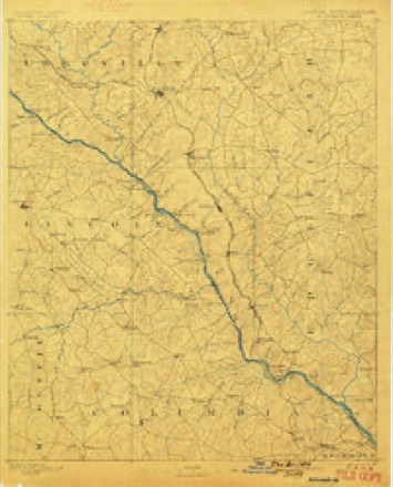
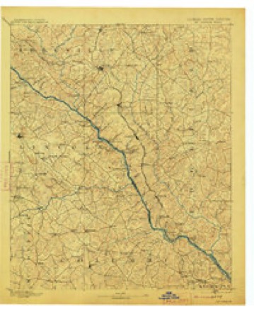
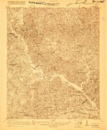
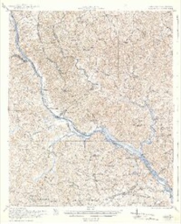
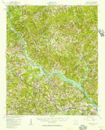
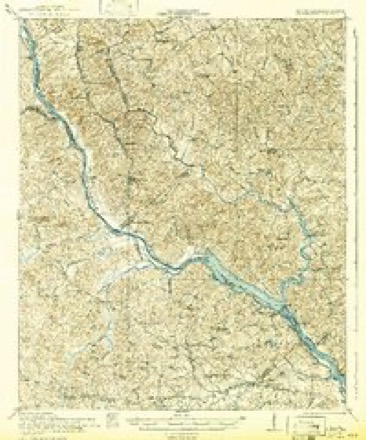
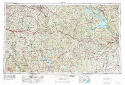
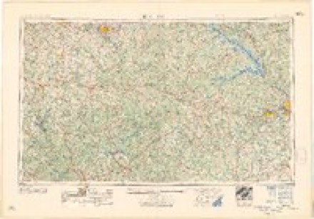
25 topographic sheets cover this place, the earliest surveyed in 1892 and the latest in 1988. It stands in the Southeast Edgefield census division. It lies in ZIP code area 29821. It stands on Reedy Branch. The Survey maps it on the Martinez quadrangle.
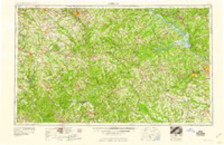
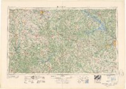
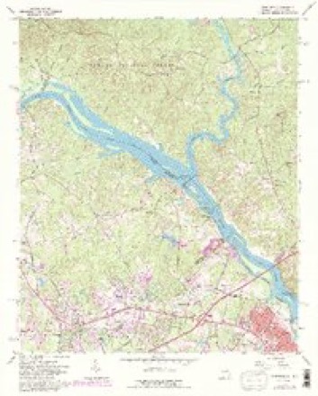
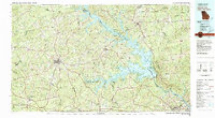
Topographic sheets covering this place
13 surveys from 25 printed sheetsMatched by testing this settlement's coordinate against the published boundary of every sheet in the United States Geological Survey's historical collection. Each opens the scanned sheet at the Survey.
- 1892 USGS Mc Cormick quadrangle1:125000, 5 printings
- 1912 USGS Mc Cormick quadrangle1:125000
- 1920 USGS Clarks Hill quadrangle1:48000
- 1921 USGS Clarks Hill quadrangle1:62500, 3 printings
- 1941 USGS Clarks Hill quadrangle1:62500, 2 printings
- 1942 USGS Clarks Hill quadrangle1:62500
- 1953 USGS Athens quadrangle1:250000, 3 printings
- 1958 USGS Athens quadrangle1:250000
- 1959 USGS Athens quadrangle1:250000
- 1963 USGS Athens quadrangle1:250000
- 1964 USGS Martinez quadrangle1:24000, 4 printings
- 1980 USGS Clark Hill Lake quadrangle1:100000
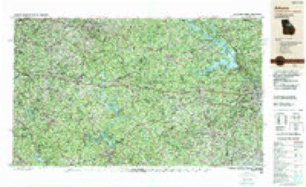
- 1988 USGS Athens quadrangle1:250000
Fires near this place
122 since 1992Regional context, not property-specific evidence. The federal wildfire occurrence database lists 122 fires within 5 miles of Morgana between 1992 and 2019, burning about 489 acres in total. 3 started naturally. 15 were recorded as arson. Distance is straight-line from the map coordinates, so a fire counted here may appear on a neighbouring settlement's page as well.
| Reported cause | Fires |
|---|---|
| Missing data/not specified/undetermined | 48 |
| Debris and open burning | 30 |
| Arson/incendiarism | 15 |
| Misuse of fire by a minor | 9 |
| Power generation/transmission/distribution | 6 |
| Equipment and vehicle use | 5 |
| Natural | 3 |
| Smoking | 3 |
| Railroad operations and maintenance | 2 |
| Recreation and ceremony | 1 |
The most recent of them, most recent first, with the day each was reported and the service that recorded it.
| Date | Cause | Size | Reported by | Name on the report |
|---|---|---|---|---|
| 7 September 2010 | Arson/incendiarism | 1.0 acres | South Carolina Forestry Commission | not named |
| 26 September 2010 | Debris and open burning | under an acre | Georgia Forestry Commission | FY2011-COLUMBIA-004 |
| 23 September 2010 | Missing data/not specified/undetermined | 1.0 acres | South Carolina Forestry Commission | not named |
| 21 September 2008 | Missing data/not specified/undetermined | 1.0 acres | South Carolina Forestry Commission | not named |
| 2 September 1997 | Debris and open burning | 8.0 acres | South Carolina Forestry Commission | not named |
| 19 September 1999 | Arson/incendiarism | 10 acres | South Carolina Forestry Commission | not named |
| 19 September 1999 | Missing data/not specified/undetermined | 1.0 acres | South Carolina Forestry Commission | not named |
| 19 September 1993 | Missing data/not specified/undetermined | under an acre | South Carolina Forestry Commission | not named |
Settlements close enough to share some of these fires:
Storms near this place
27 since 2007Regional context, not property-specific evidence. The National Weather Service names Morgana in 27 storm reports between 2007 and 2024: 16 thunderstorm wind, 6 hail, 3 tornado, 1 flood. The reports record 7 injuries. Each account below is quoted exactly as the forecast office filed it, from the NOAA Storm Events Database, and each date opens the federal record of that event.
| When | Event | Place named | Harm | What the report says |
|---|---|---|---|---|
| March 2019 | Tornado (EF2) | Morgana | 7 hurt | Extensive tree damage occurred along the track of the tornado which paralleled Woodlawn Rd to Briggs Rd and then across Sweetwater Rd. Trees all along the path were either uprooted or snapped. The tornado touched down near the intersection |of Woodlawn Rd and Reedy Branch Rd. The tornado continued to the ENE along Woodlawn Rd. At the intersection of Woodlawn Rd and Highway 230 there was damage to a convenience store. A couple of the gas pumps were blown over and there was |damage to the gas station awning. The tornado continued ENE producing extensive tree damage and just east of the intersection of Briggs Rd and Sweetwater Rd. |The most extensive damage to structures occurred near the Morgana Community along Woodlawn Rd. Several structures were impacted by fallen trees and large branches. Several homes had damage to roof including shingles, fascia and trim. A tree fell across a pick-up truck crushing the truck bed. Numerous power lines were downed along Woodlawn Rd, Highway 230 and Briggs Rd. |
| March 2010 | Tornado (EF2) | Morgana | $250,000 | An EF2 tornado touched down on hwy 230 near Stevens Creek and took down numerous trees and powerlines. Two homes had moderate damage and a mobile home had half of its roof torn off. A motor home was also crushed from a tree falling on it. |
| June 2010 | Thunderstorm Wind | Morgana | $12,000 | WAGT TV reported trees down across souther Edgefield County. |
| July 2012 | Thunderstorm Wind | Morgana | $8,000 | DOT reported trees and powerlines down on Martintown Road. |
| October 2011 | Thunderstorm Wind | Morgana | $5,000 | Sheriff reported trees down near Martintown Road and Woodlawn Road. |
| June 2013 | Flood | Morgana | $4,000 | SC Highway Patrol reported roads closed due to high water around Gregory Lake Drive and Capers Drive. |
| July 2013 | Thunderstorm Wind | Morgana | $2,000 | DOT reported a few trees down along W. Martintown Road. |
| January 2024 | Thunderstorm Wind | Morgana | - | A tree was downed onto a power line on Stevens Creek Rd and Andrews Way. |
| September 2024 | Flash Flood | Morgana | - | Spotter sent pictures of flash flooding off of Stevens Creek along W Martintown Rd from rainfall that occurred in the core of Helene. |
| September 2023 | Thunderstorm Wind | Morgana | - | Tree down at W Martintown Road and Currytown Road. Hail of unknown size also reported. Time estimated by radar. |
| March 2022 | Hail | Morgana | - | Public report via mPING of dime size hail. |
| March 2022 | Hail | Morgana | - | Public report of one inch hail at Woodlawn Rd and Martintown Rd. Time estimated. |
| July 2022 | Thunderstorm Wind | Morgana | - | Edgefield Co dispatch reported multiple trees down on Woodlawn Rd. Time estimated. |
| June 2020 | Thunderstorm Wind | Morgana | - | A tree was downed on Country Club Hills Dr. Time estimated. |
| April 2019 | Thunderstorm Wind | Morgana | - | SCHP reported trees down near the intersection of W. Martintown Rd and Bella Vita Way. |
| April 2018 | Thunderstorm Wind | Morgana | - | SC Highway Patrol reported trees down at Country Club Hills and Gregory Lake Rd. |
| September 2018 | Thunderstorm Wind | Morgana | - | Tree fell on a vehicle on W. Martintown Rd, 3 miles south of Woodlawn Rd. No injuries. |
| July 2017 | Thunderstorm Wind | Morgana | - | Tree down on Cherry Tree Lane. |
| May 2016 | Hail | Morgana | - | Several reports of dime to nickel size hail. |
| May 2016 | Hail | Morgana | - | Reported golf ball size hail near Highway 230. |
| July 2016 | Thunderstorm Wind | Morgana | - | Trees downed along Woodlawn Rd. |
| June 2014 | Thunderstorm Wind | Morgana | - | Highway Department reported trees down near Martintown Road and Murrah Road. |
| May 2008 | Hail | Morgana | - | SKYWARN HAM radio operator reported nickel size hail. |
| July 2008 | Thunderstorm Wind | Morgana | - | Sheriff Dispatch reported trees and power lines down at the intersection of Martintown Road and West Martintown Road. |
| March 2008 | Hail | Morgana | - | SKYWARN spotter reported quarter size hail near the Edgefield county line. |
| March 2008 | Tornado (EF0) | Morgana | - | Survey found trees down from supercell tornado that came out of Columbia County GA. |
| March 2007 | Thunderstorm Wind | Morgana | - | Sheriff reported trees and some powerlines down countywide along with minor damage to a mobile home. |
Nearest settlements
The eight closest, with where each one stands in the county. Distances are straight-line, computed from the Geographic Names Information System coordinates.
| Map | Place | Distance | Sheets |
|---|---|---|---|
| Lenoir (historical) | 1.9 miles | 25 | |
| Poverty Hill | 3.8 miles | 25 | |
| Lake Forest Estates | 5.1 miles | 20 | |
| Huntington Estates | 5.3 miles | 20 | |
| New Richmond (historical) | 5.4 miles | 25 | |
| Murphys Estates | 5.8 miles | 20 | |
| Crafton (historical) | 6.2 miles | 17 | |
| Ropers Crossroads | 6.3 miles | 17 |
Provenance
This settlement is recorded in the Geographic Names Information System as feature 1231562. The sheet list is computed by point-in-boundary test against the United States Geological Survey's historical topographic inventory. Both are works of the United States government and carry no copyright under 17 U.S.C. 105.
Wildfire. Short, Karen C. 2022. Spatial wildfire occurrence data for the United States, 1992-2020 [FPA_FOD_20221014]. 6th Edition. Fort Collins, CO: Forest Service Research Data Archive. https://doi.org/10.2737/RDS-2013-0009.6 Collected with United States Government funding and usable without additional permissions or fees.
Storms. NOAA National Centers for Environmental Information, Storm Events Database https://www.ncei.noaa.gov/stormevents/ A work of the United States government, no copyright under 17 U.S.C. 105. Narratives are quoted verbatim from the National Weather Service report and are not edited or summarised.