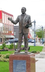
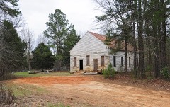
27 National Register listings published here · the county-history sources tell 3 stories and name 36 people · people the book names include Death Of Colonel Joseph Abney (Edgefield, 1897) (machine-read).
South Carolina within the United StatesEdgefield County within South Carolina
Explore by year
What the record shows
2 places in this county were surveyed for fire insurance: Edgefield, Johnston, between 1884 and 1938.
14 fire insurance atlases survive for the county. Topographic coverage is national; fire insurance survey reached only incorporated places with something worth insuring.
598 topographic sheet readings cover the county's settlements.
27 properties here are on the National Register of Historic Places: 21 districts and 6 buildings.
5 of the 27 listings were added during the 1970s.
The Geographic Names Information System records 36 populated places in this county; 36 are covered by at least one topographic sheet.
What happened here
3 accounts
Among them: Abraham Giles Dozier; Wounded Officers; Death Of Colonel Joseph Abney. These passages come from the
identified county-history source books. Each inset names its own source
and opens the exact section it comes from.
Was another of those old-time lawyers whose home was at Ninety-Six, but who practiced at Edgefield and in the adjoining districts. He was admitted to the Bar in 1798. He had a large practice at Edgefield, and was very successful. He died at his home at Ninety-Six of the great epidemic in 1816, which killed so many, at least one-tenth of the whole population of Edgefield, Abbeville, Newberry, and L/aurens.
Major Joseph Abney, of the Twenty-Seventh South Carolina Volunteers, wounded in the fight at Drewry's Bluff on the i6th ult., has arrived at his home in our town. We have been to see this gallant soldier, who is unable to be out, and find him with not only a considerable "spot of tragedy" on his right side, but suffering in general health, and looking worn and weary.
Suddenly and unexpectedly, we are called to mourn the loss of a much valued and beloved citizen. Colonel Joseph Abney died at his residence in the tovi^n of Edgefield, on Wednesday night, the 2nd instant, after an illness of only ten hours, a victim of the prevailing epidemic, Meningetis, as pronounced by his brother, Dr.
Taken for the Office of War Information and
the Farm Security Administration, who photographed the country between
1935 and 1944. Works of United States government photographers, with no
known restriction on use. Each opens its catalogue record.
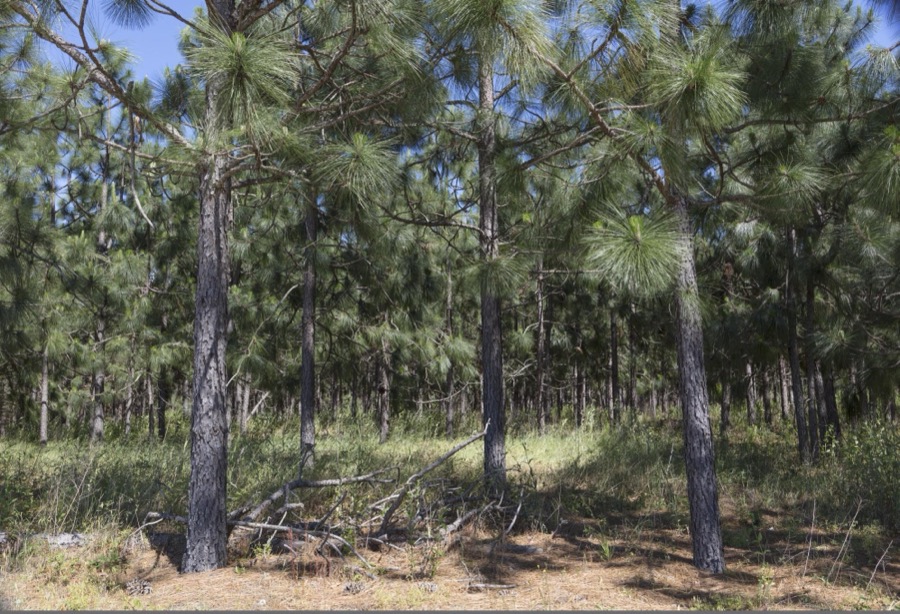
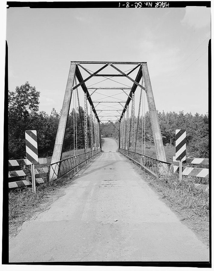
Typical scene in the piney woods of Southeast South Carolina's Edgefield County, near Eureka Highsmith, Carol M, 2017. Library of CongressEdgefield County Bridge No. 3, Road S-63 spanning Log Creek, Pleasant Lane, Edgefield County, SC Photographer not recorded. Library of Congress
Places on the National Register
27
Every property in this county listed on the
National Register of Historic Places, with the year it was listed and the
federal nomination document.
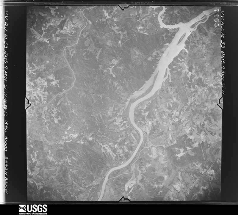
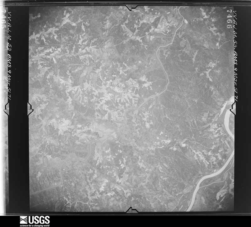
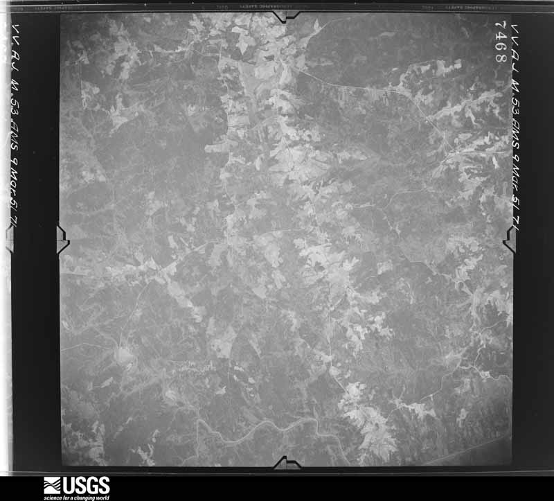
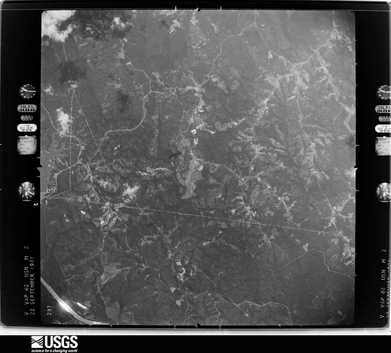
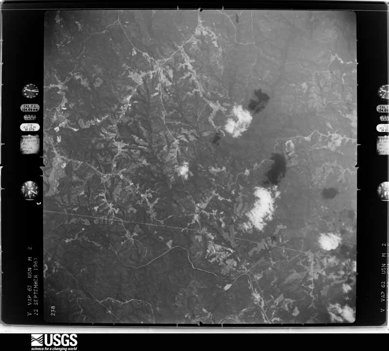
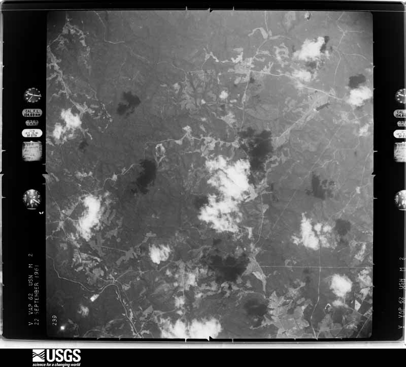
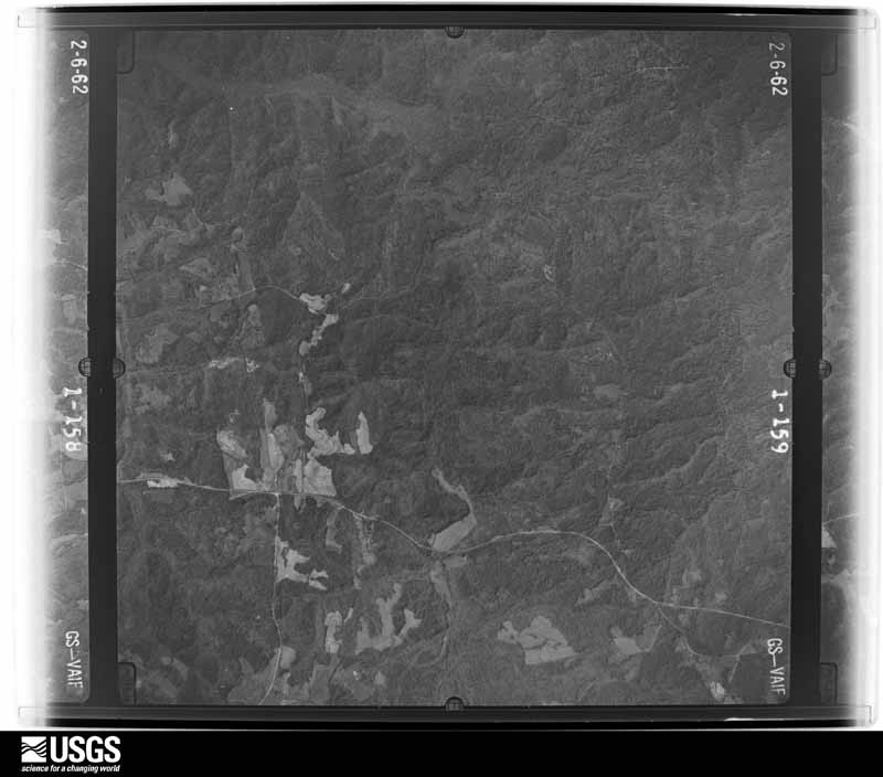
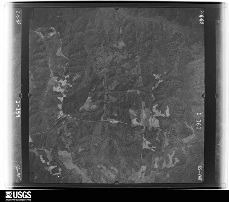
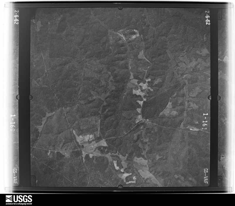
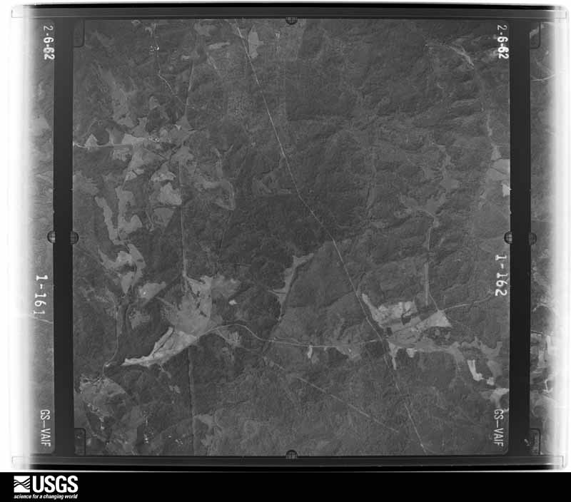
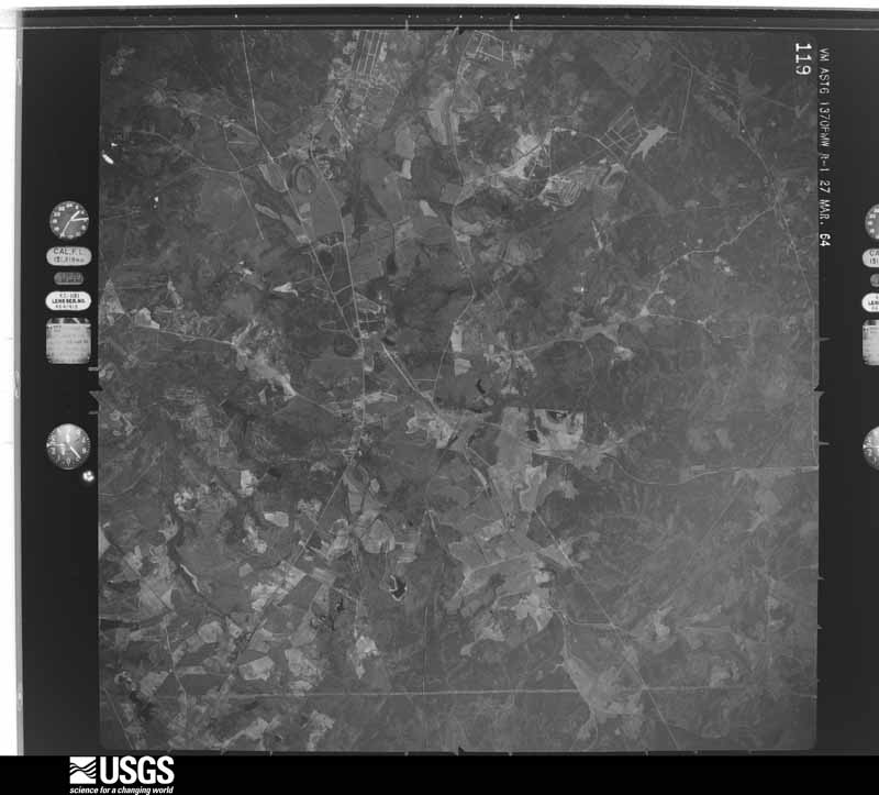
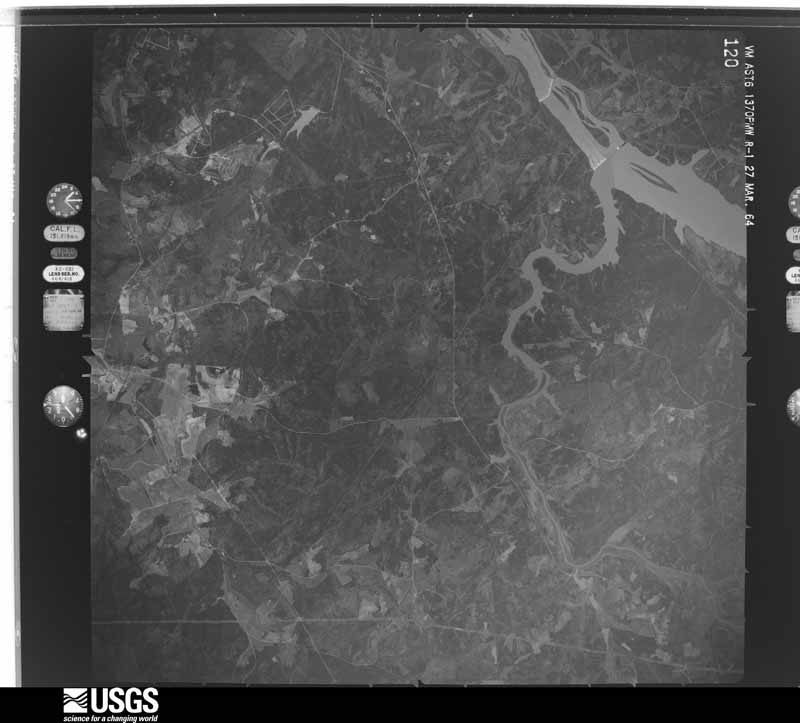
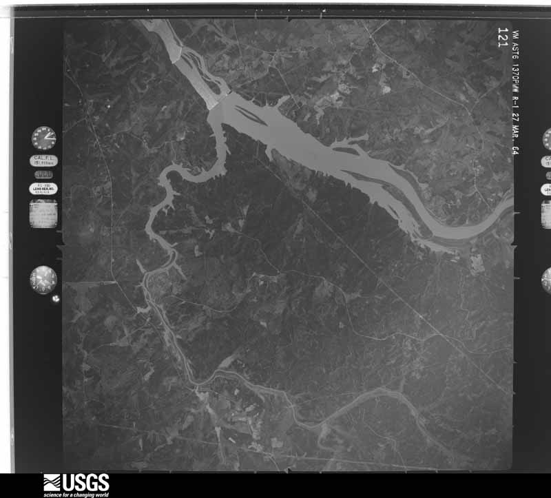
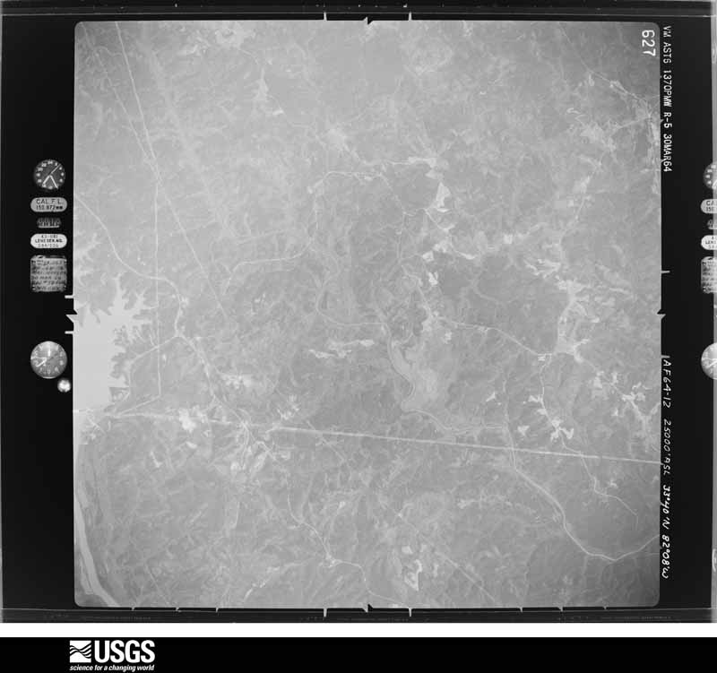
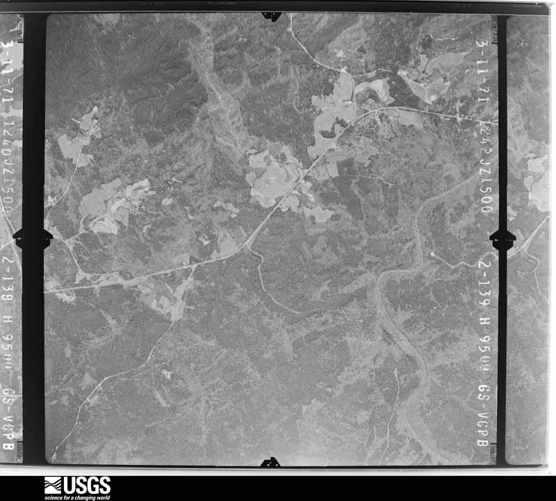
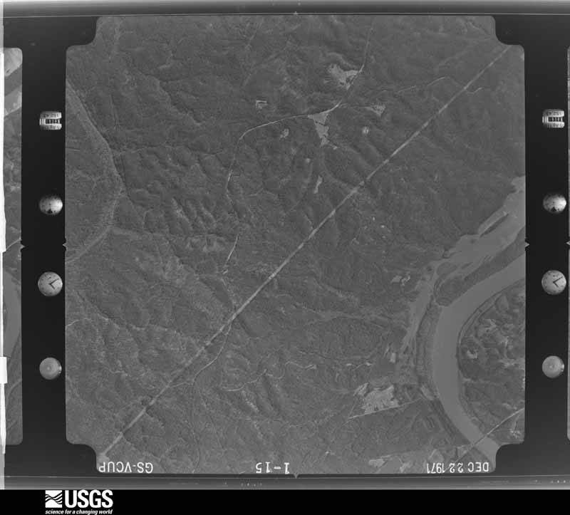
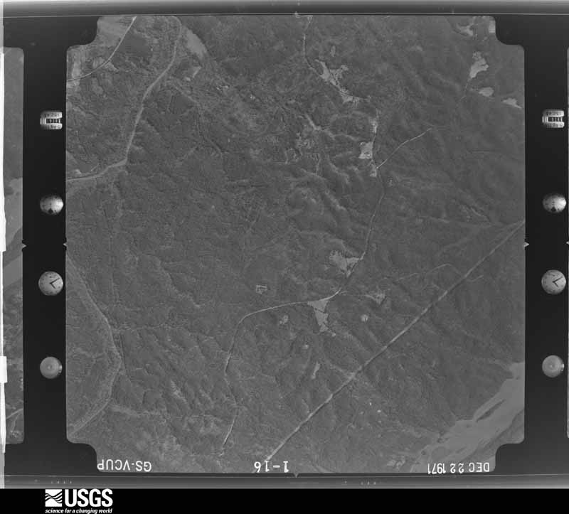
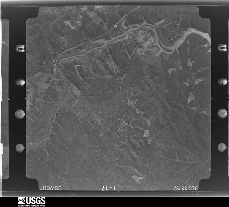
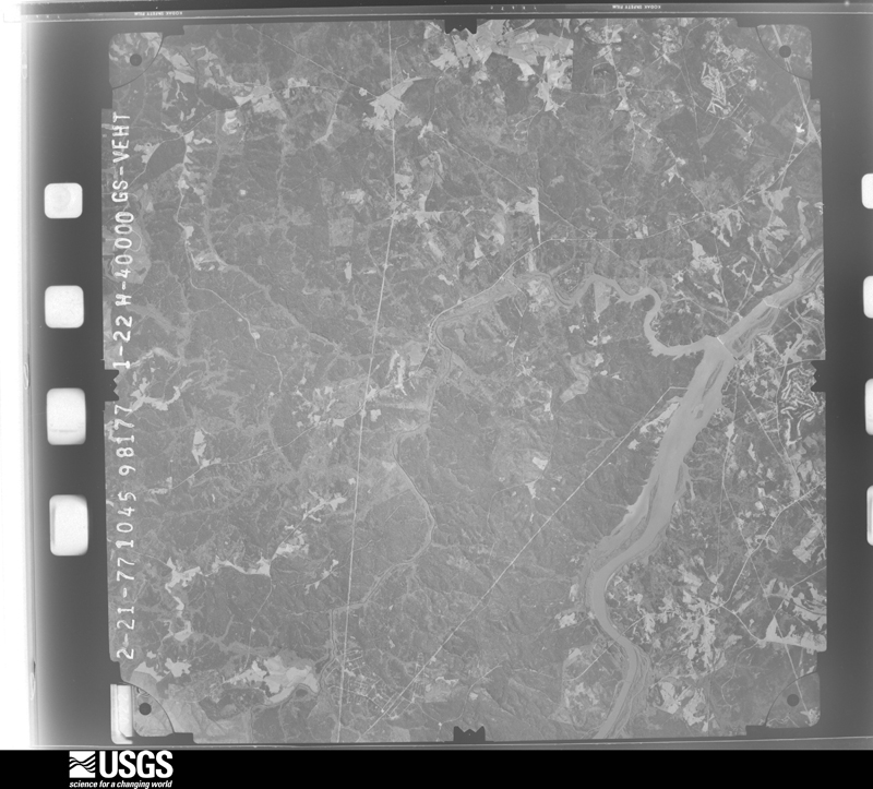
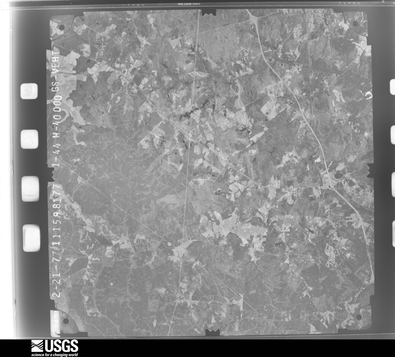
Flown by the U.S. Geological Survey
between 1937 and 1989, the Aerial Photo Single Frames collection is
the definitive mid-century view of the land: fields, roads and rivers
as the camera saw them. The Survey holds 1,272 frames inside the
rectangle that bounds this county; the 22 frames below were taken over
the county itself, chosen across the decades of flights (at most four
a year from that rectangle), so one flight cannot crowd out the rest.
The full set is free to browse and download at
EarthExplorer under the dataset Aerial Photo Single
Frames.
1951-03-09, scale 1:57000. U.S. Geological Survey aerial photograph.1951-03-09, scale 1:57000. U.S. Geological Survey aerial photograph.1951-03-09, scale 1:57000. U.S. Geological Survey aerial photograph.1951-03-09, scale 1:57000. U.S. Geological Survey aerial photograph.1961-06-23, scale 1:60000. U.S. Geological Survey aerial photograph.1961-10-01, scale 1:60000. U.S. Geological Survey aerial photograph.1961-10-01, scale 1:60000. U.S. Geological Survey aerial photograph.1961-10-01, scale 1:60000. U.S. Geological Survey aerial photograph.1962-02-06, scale 1:19000. U.S. Geological Survey aerial photograph.1962-02-06, scale 1:19000. U.S. Geological Survey aerial photograph.1962-02-06, scale 1:19000. U.S. Geological Survey aerial photograph.1962-02-06, scale 1:19000. U.S. Geological Survey aerial photograph.1964-04-01, scale 1:50000. U.S. Geological Survey aerial photograph.1964-04-01, scale 1:50000. U.S. Geological Survey aerial photograph.1964-04-01, scale 1:50000. U.S. Geological Survey aerial photograph.1964-04-01, scale 1:50000. U.S. Geological Survey aerial photograph.1971-03-11, scale 1:19000. U.S. Geological Survey aerial photograph.1971-12-22, scale 1:24000. U.S. Geological Survey aerial photograph.1971-12-22, scale 1:24000. U.S. Geological Survey aerial photograph.1971-12-22, scale 1:24000. U.S. Geological Survey aerial photograph.1977-02-21, scale 1:80000. U.S. Geological Survey aerial photograph.1977-02-21, scale 1:80000. U.S. Geological Survey aerial photograph.
Weather records
13 stations, 3 gages
The thermometers that kept this county's weather, and the gages that measured the flow of its streams, as the federal records hold them. The extremes below are measured values from those records, not estimates.
MC CORMICK 9 E1893 to 1998, hottest 32.8 C, coldest -4.4 C
TRENTON 1 NNE1893 to 1957, hottest 42.8 C, coldest -20.0 C
Who lived here in 1950, one enumeration
district at a time, as the Census Bureau described each district.
Each row opens its official National Archives result, with Population
Schedules and ED Maps available there.
19-12Edgefield town, comprising parts of Pickens and Wise townships: Edgefield town - That part in Pickens township Bounded by Town limits; Town limits; Augusta, Mims; Hart, Simpkins, Wigtall, Addison, Pickens
19-13Edgefield town - That part in Pickens township Bounded by Town limits; Pickens, Addison, Wigtall, Simpkins, Hart; Main, Jeter, Beaver Dam Creek; Town limits
19-14Edgefield town - That part in Wise township Bounded by Beaverdam Creek, Jeter, Main; Mims, Augusta; Town limits; Town limits
19-15Pickens township, outside Edgefield town: Pickens township - That part north of State Hwy. 23, outside Edgefield town
19-16Pickens township - That part south of State Hwy. 23, outside Edgefield town (Remainder of Pickens township is in Edgefield town)
19-21Ward township: Ward township - That part northeast of State Hwys. 233 and 231 and southeast of road from State Hwy. 231 to State Hwy. 404 via Long Branch School and State Hwy. 404
19-22Ward township - That part southwest of State Hwys. 233 and 231 and northwest of road from State Hwy. 231 to State Hwy. 404 via Long Branch School and State Hwy. 404
19-23Wise township, outside Edgefield town: Wise township - That part east of Georgia and Florida Railroad, outside Edgefield town
19-24Wise township - That part west of Georgia and Florida Railroad, outside Edgefield town (Remainder of Wise township is in Edgefield town)
Wildfire,
1992 to 2020
692 fires
Every wildfire the federal occurrence
database records inside this county: 692 of them, burning
about 3,688 acres. 40 started naturally and 40 were recorded as arson. Each settlement page carries the fires within
five miles of it.
Reported cause
Fires
Missing data/not specified/undetermined
284
Debris and open burning
220
Equipment and vehicle use
52
Arson/incendiarism
40
Natural
40
Misuse of fire by a minor
19
Power generation/transmission/distribution
14
Smoking
11
Recreation and ceremony
5
Railroad operations and maintenance
4
Other causes
2
Firearms and explosives use
1
The five largest, by the area the report
gives. None of them was recorded as arson.
Date
Cause
Size
Reported by
Name on the report
30 June 2012
Debris and open burning
122 acres
Francis Marion & Sumter National Forests
TURKEY ROAD
2 June 2000
Equipment and vehicle use
110 acres
South Carolina Forestry Commission
not named
11 June 2008
Natural
101 acres
South Carolina Forestry Commission
GILCHRIST ROAD
23 July 1993
Missing data/not specified/undetermined
80 acres
South Carolina Forestry Commission
not named
8 August 2009
Equipment and vehicle use
75 acres
South Carolina Forestry Commission
not named
23 June 2011
Natural
68 acres
South Carolina Forestry Commission
not named
10 November 2005
Debris and open burning
65 acres
South Carolina Forestry Commission
not named
1 February 1992
Missing data/not specified/undetermined
60 acres
South Carolina Forestry Commission
not named
Every settlement page carries the fires within five
miles of it - see the settlement index below.
Storms,
1959 to 2026
60 of 322 shown
The
NOAA Storm Events Database holds
322 reports for this county, causing 1 death, 30 injuries and about $3,708,110 in recorded property damage.
Each settlement page carries the reports that name it.
Kind of event
Reports
Thunderstorm Wind
205
Hail
80
Tornado
21
Flash Flood
8
Heavy Rain
4
Flood
2
Funnel Cloud
1
Lightning
1
The most serious of them, by death, then
injury, then recorded damage. The accounts are quoted exactly as the
forecast office filed them.
An F3 tornado either destroyed or severely damaged around 60 homes and mobile homes and a church. One person was killed when her mobile home took a direct hit and was completely destroyed. Widespread trees were taken down.
Extensive tree damage occurred along the track of the tornado which paralleled Woodlawn Rd to Briggs Rd and then across Sweetwater Rd. Trees all along the path were either uprooted or snapped. The tornado touched down near the intersection |of Woodlawn Rd and Reedy Branch Rd. The tornado continued to the ENE along Woodlawn Rd. At the intersection of Woodlawn Rd and Highway 230 there was damage to a convenience store. A couple of the gas pumps were blown over and there was |damage to the gas station awning. The tornado continued ENE producing extensive tree damage and just east of the intersection of Briggs Rd and Sweetwater Rd. |The most extensive damage to structures occurred near the Morgana Community along Woodlawn Rd. Several structures were impacted by fallen trees and large branches. Several homes had damage to roof including shingles, fascia and trim. A tree fell across a pick-up truck crushing the truck bed. Numerous power lines were downed along Woodlawn Rd, Highway 230 and Briggs Rd.
Edgefield County dispatch confirms a media report that 4 people were struck by lightning on Luke Bridge Rd. Two of the individuals were in good condition, one was in fair condition, and the other was in critical condition according to Augusta University Medical Center. Later media reports indicated that all individuals recovered and survived. They were agricultural workers working in a peach field at the time of the strike. Exact location unknown.
Tornado damage began in Edgefield County on the east side of Johnston near Winthrow Avenue and continued northeast into Saluda County. Widespread hardwood and pine trees were uprooted and snapped causing damage to multiple homes and vehicles. Most of the damage was EF-0 and EF-1 in Edgefield County. Widespread large hardwoods were uprooted and snapped with some trees having the bark stripped off. One female received minor injuries when a branch fell on her vehicle causing her windshield to shatter.
Volunteer Fire Dept. building destroyed by an intense microburst. Numerous trees were down across the county. Many homes and also a moted sustained significant wind damage and from fallen trees. Several autos also had trees on them.
An F3 tornado touched down near SC highway 61 and moved east to SC highway 36 taking down numerous trees and causing major and minor damage to several homes.
An EF2 tornado touched down on hwy 230 near Stevens Creek and took down numerous trees and powerlines. Two homes had moderate damage and a mobile home had half of its roof torn off. A motor home was also crushed from a tree falling on it.
Broadcast media relayed a public report, via social media, including a photo, which showed Mill Creek Dr over Dry Branch washed out. Edgefield Co EM confirmed the report and also provided a photo. Time estimated.
Severe hailstorm damaged or destroyed several hundred acres of peach trees. This was the same area of severe weather that moved northeastward across central South Carolina.
Edgefield Co dispatch reported flooding on Scenic Dr near Deer Trail Point. Road was impassable. Water entered a home on Scenic Dr. Occupants were reported trapped inside. Times estimated.
NWS storm survey found an EF0 tornado intermittently touched down in wooded areas from Two Mile Road to near Bland Baptist Road. One tree fell on a home causing minor damage.
DOT reported a few trees down along W. Martintown Road.
Mines and
quarries
14 recorded
The Survey's mineral resources record
lists 14 workings inside this county. 2 still produce and 12 are closed or unrecorded. Each
settlement page carries the workings within five miles of it.
Commodity
Workings
Gold
5
Clay
2
Stone, Crushed/Broken
2
Granite, Stone, Crushed/Broken
2
Granite, Stone, Dimension
1
Corundum, Pyrophyllite, Kyanite, Aluminum
1
Kyanite
1
Pyrophyllite
1
Andalusite
1
The least common of them first, because a
county's hundredth gravel pit says nothing its first ten did not.
History of Edgefield County from the Earliest Settlement to 1897 (1897)
47,093 words in 3 parts
The county's history books
170,343 words
One book written about this county, cut here
where the book itself is cut, at its printed chapters: 1 chapter in all.
Every chapter is public domain, machine-read from the scan and
reproduced complete. A chapter already given under one of the county's
towns is not repeated in this list.
History of Edgefield County from the Earliest Settlement to 1897 (1897)
Everyone History of Edgefield County from the Earliest Settlement to 1897 stops to write about, with
the section that describes them. Among them are the men who founded the
place and governed the Territory. Each name opens the passage itself, in
the words of 1897.
Named settlements recorded in the Geographic Names
Information System, each with the topographic sheets covering it. Villages,
hamlets and abandoned places alike. Each is shown with the nearest named
watercourse or landform and the survey quadrangle it falls on. The 2 places that were also surveyed for fire insurance come first, with the number of atlases and photographs held for them.
The complete index, with nothing left out.
Each of these is a separate record with its own page: a federal survey
report, or the case file that argued a property on to the National
Register. Both are public domain and reproduced word for word.
Topographic sheets. USGS Historical Topographic Map Collection, county index, measured from the bulk metadata.
Fire insurance maps. Library of Congress Sanborn collection, faceted to this county.
Photographs. Each place queried individually against the Library of Congress Prints and Photographs search.
Wildfire. Short, Karen C. 2022. Spatial wildfire occurrence data for the United States, 1992-2020 [FPA_FOD_20221014]. 6th Edition. Fort Collins, CO: Forest Service Research Data Archive. https://doi.org/10.2737/RDS-2013-0009.6 Collected with United States Government funding and usable without additional permissions or fees.
Mines and quarries. USGS Mineral Resources Data System (MRDS) https://mrdata.usgs.gov/mrds/ A work of the United States government, no copyright under 17 U.S.C. 105.
Storms. NOAA National Centers for Environmental Information, Storm Events Database https://www.ncei.noaa.gov/stormevents/ A work of the United States government, no copyright under 17 U.S.C. 105. Narratives are quoted verbatim from the National Weather Service report and are not edited or summarised.
 Block