 Block
Myers, South Carolina
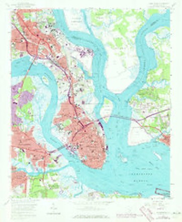
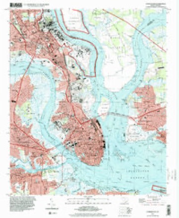
18 topographic sheets cover this place, the earliest surveyed in 1919 and the latest in 1994. It stands in the Charleston Central census division. It lies in ZIP code area 29405. It stands on Newmarket Creek. The Survey maps it on the Charleston quadrangle.
On record in Myers
Buildings and businesses the archive holds for this place. Each opens its own page, with the source record it came from.
On the National Register within a mile 6 records
The National Register names another town for these. They stand within one mile of this settlement's coordinate.
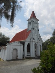 Charleston Cemeteries Historic Districtlisted 2017 · 0.3 miles away
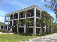 Standard Oil Company Headquarterslisted 2015 · 0.3 miles away
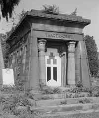 Magnolia Cemeterylisted 1978 · 0.5 miles away
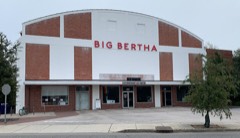 Sixth Naval District Training Aids Librarylisted 2017 · 0.8 miles away
 Charleston Consolidated Railway, Electric and Gas Company Car Houselisted 2017 · 0.8 miles away
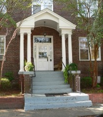 Florence Crittenton Homelisted 1997 · 1.0 miles away
Topographic sheets covering this place
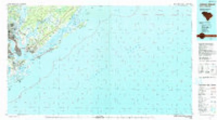
9 surveys from 18 printed sheetsMatched by testing this settlement's coordinate against the published boundary of every sheet in the United States Geological Survey's historical collection. Each opens the scanned sheet at the Survey.
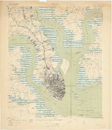
- 1919 USGS Charleston quadrangle1:21120, 3 printings
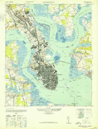
- 1948 USGS Charleston quadrangle1:24000, 2 printings
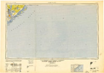
- 1948 USGS James Island quadrangle1:250000, 2 printings
- 1958 USGS Charleston quadrangle1:24000, 5 printings
- 1968 USGS James Island quadrangle1:250000
- 1969 USGS James Island quadrangle1:250000, 2 printings
- 1986 USGS James Island quadrangle1:100000
- 1990 USGS James Island quadrangle1:100000
- 1994 USGS Charleston quadrangle1:24000
Fires near this place
15 since 1993Regional context, not property-specific evidence. The federal wildfire occurrence database lists 15 fires within 5 miles of Myers between 1993 and 2015, burning about 185 acres in total. 1 started naturally. 3 were recorded as arson. Distance is straight-line from the map coordinates, so a fire counted here may appear on a neighbouring settlement's page as well.
| Reported cause | Fires |
|---|---|
| Missing data/not specified/undetermined | 6 |
| Debris and open burning | 4 |
| Arson/incendiarism | 3 |
| Fireworks | 1 |
| Natural | 1 |
The most recent of them, most recent first, with the day each was reported and the service that recorded it.
| Date | Cause | Size | Reported by | Name on the report |
|---|---|---|---|---|
| 12 September 1999 | Arson/incendiarism | 4.0 acres | South Carolina Forestry Commission | not named |
| 29 August 1998 | Debris and open burning | under an acre | South Carolina Forestry Commission | not named |
| 7 July 2012 | Fireworks | 8.0 acres | South Carolina Forestry Commission | not named |
| 20 June 2015 | Natural | 3.0 acres | South Carolina Forestry Commission | not named |
| 18 May 1994 | Missing data/not specified/undetermined | 1.0 acres | South Carolina Forestry Commission | not named |
| 12 April 2001 | Debris and open burning | 1.0 acres | South Carolina Forestry Commission | not named |
| 2 March 2004 | Missing data/not specified/undetermined | 60 acres | South Carolina Forestry Commission | not named |
| 14 March 1998 | Arson/incendiarism | 40 acres | South Carolina Forestry Commission | not named |
Settlements close enough to share some of these fires:
Mines and quarries near this place
6 within 5 milesRegional context, not property-specific evidence. The federal mineral resources record lists 6 workings within 5 miles of Myers: 3 producers, 1 unknown, 1 plant, 1 past producer. 4 still produce. What was taken out: Sand and Gravel, Construction, REE, Thorium, Iron. Distance is straight-line from the map coordinates, so a quarry counted here may appear on a neighbouring settlement's page as well.
| Where | Site | Commodity | Status | Recorded |
|---|---|---|---|---|
| (Facility) Charleston Smelter | Chromium | Plant | ||
| Airco Alloys | Iron | Unknown | ||
| Charleston County Mine | REE, Thorium | Producer | ||
| Cross Country Mine | Sand and Gravel, Construction | Producer | ||
| Cross Creek Mine | Sand and Gravel, Construction | Producer | ||
| Mt Pleasant Pit | Sand and Gravel, Construction | Past Producer | Sedimentary |
Storms near this place
9 since 2013Regional context, not property-specific evidence. The National Weather Service names Myers in 9 storm reports between 2013 and 2025: 7 flash flood, 2 thunderstorm wind. No death or injury is recorded in these reports. Each account below is quoted exactly as the forecast office filed it, from the NOAA Storm Events Database, and each date opens the federal record of that event.
| When | Event | Place named | Harm | What the report says |
|---|---|---|---|---|
| October 2015 | Flash Flood | Myers | $728,550 | Law enforcement and social media images indicated several road closures due to flooding in downtown Charleston. Road intersections closed included North Market Street at East Bay Street, South Market Street at Meeting Street, Huger Street at King Street, Line Street at Hagood Avenue, Nassau Street at Cooper Street, Hagood Avenue at Fishburne Street, President Street at Cannon Street and the Crosstown Expressway. Up to a foot of water was also reported in some homes in Middleton Place within Wagener Terrace. |
| October 2015 | Flash Flood | Myers | $728,550 | Law enforcement and media reported several roads closed due to flooding in North Charleston and Hanahan. Roads and intersections closed included Rivers Avenue between Reynolds Avenue and Success Street, Rivers Avenue at the intersection of Eagle Drive and the intersection of Otranto Road, Spruill Avenue at the intersection with Buist Avenue, Remount Road at the intersection with Blackwell Street and Dorchester Road at the intersection with Transfer Street. Water in excess of 3 feet depth was also entering at least one home in the 2000 block of Little Avenue with residents being escorted from their property by law enforcement. Macon Avenue at the intersection with Meeting Street was also closed due to a portion of the road collapsing. |
| August 2025 | Flash Flood | Myers | - | Emergency management reported the intersections of Meeting Street and Huger Street, as well as King Street and Huger Street closed due to flooding. A few vehicles were also flooded across the Downtown Charleston Peninsula. |
| September 2025 | Flash Flood | Myers | - | Charleston Police Department reported a large section of Morrison Drive was closed due to flooding. The closed section began at the intersection with Brigade Street, continued to Huger Street, and ended at Columbus Street. |
| August 2024 | Flash Flood | Myers | - | The City of Charleston reported over 60 roads closed across the city due to flooding. The City of Charleston web page indicated that all primary access points to the Charleston Peninsula were closed to incoming traffic due to widespread flooding. |
| June 2020 | Thunderstorm Wind | Myers | - | A report relayed via social media indicated a large tree down along Peachtree Street. |
| July 2015 | Thunderstorm Wind | Myers | - | An off duty National Weather Service employee reported a large metal sign bent by strong winds along Interstate 26 west just south of the Spruill Avenue exit. |
| August 2015 | Flash Flood | Myers | - | The media reported Highway 52 near 4 Mile Lane impassable due to flooding. |
| June 2013 | Flash Flood | Myers | - | Law enforcement reported Spruill Avenue closed at the Interstate 26 off ramp due to flooding. Law enforcement also reported parts of Joppa Avenue, Kingworth Avenue and Little Avenue also closed due to flooding. |
Nearest settlements
The eight closest, with where each one stands in the county. Distances are straight-line, computed from the Geographic Names Information System coordinates.
| Map | Place | Distance | Sheets |
|---|---|---|---|
| Garden Hill | 0.4 miles | 18 | |
| Hibernian Heights | 0.7 miles | 18 | |
| Rosemont | 0.9 miles | 18 | |
| Union Heights | 1.6 miles | 18 | |
| Grove Creek Village | 1.8 miles | 18 | |
| Windsor Place | 1.8 miles | 18 | |
| Daniel Jenkins Homes | 1.8 miles | 18 | |
| Gadsden Green Homes | 1.9 miles | 18 |
Provenance
This settlement is recorded in the Geographic Names Information System as feature 1231579. The sheet list is computed by point-in-boundary test against the United States Geological Survey's historical topographic inventory. Both are works of the United States government and carry no copyright under 17 U.S.C. 105.
Wildfire. Short, Karen C. 2022. Spatial wildfire occurrence data for the United States, 1992-2020 [FPA_FOD_20221014]. 6th Edition. Fort Collins, CO: Forest Service Research Data Archive. https://doi.org/10.2737/RDS-2013-0009.6 Collected with United States Government funding and usable without additional permissions or fees.
Mines and quarries. USGS Mineral Resources Data System (MRDS) https://mrdata.usgs.gov/mrds/ A work of the United States government, no copyright under 17 U.S.C. 105.
Storms. NOAA National Centers for Environmental Information, Storm Events Database https://www.ncei.noaa.gov/stormevents/ A work of the United States government, no copyright under 17 U.S.C. 105. Narratives are quoted verbatim from the National Weather Service report and are not edited or summarised.