 Block
Myrtle Ridge, South Carolina
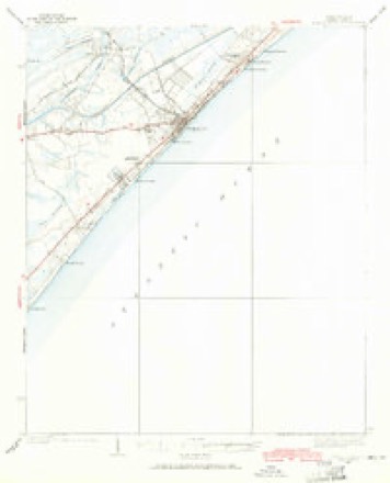
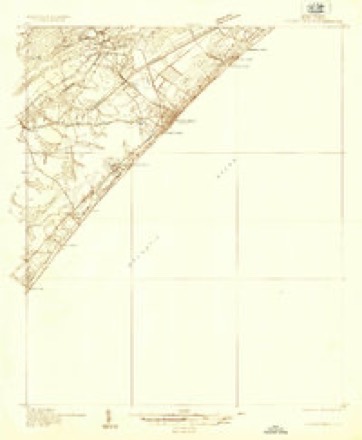
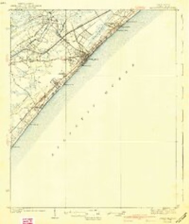
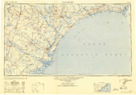
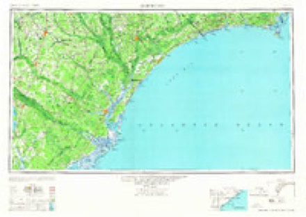
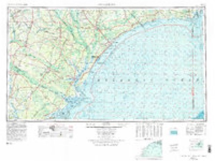
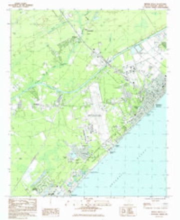
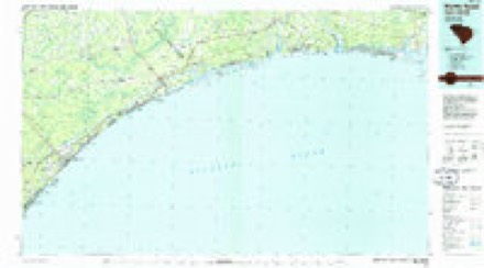
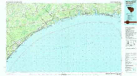
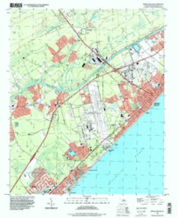
14 topographic sheets cover this place, the earliest surveyed in 1937 and the latest in 1994. It stands in the Myrtle Beach census division. It lies in ZIP code area 29577. The Survey maps it on the Myrtle Beach quadrangle.
Topographic sheets covering this place
10 surveys from 14 printed sheetsMatched by testing this settlement's coordinate against the published boundary of every sheet in the United States Geological Survey's historical collection. Each opens the scanned sheet at the Survey.
- 1937 USGS Myrtle Beach quadrangle1:62500, 2 printings
- 1937 USGS Myrtle Beach quadrangle1:48000
- 1940 USGS Myrtle Beach quadrangle1:62500, 3 printings
- 1949 USGS Georgetown quadrangle1:250000
- 1967 USGS Georgetown quadrangle1:250000
- 1974 USGS Georgetown quadrangle1:250000, 2 printings
- 1984 USGS Myrtle Beach quadrangle1:24000
- 1986 USGS Myrtle Beach quadrangle1:100000
- 1990 USGS Myrtle Beach quadrangle1:100000
- 1994 USGS Myrtle Beach quadrangle1:24000
Fires near this place
115 since 1992Regional context, not property-specific evidence. The federal wildfire occurrence database lists 115 fires within 5 miles of Myrtle Ridge between 1992 and 2020, burning about 3,071 acres in total. 2 started naturally. 29 were recorded as arson. Distance is straight-line from the map coordinates, so a fire counted here may appear on a neighbouring settlement's page as well.
| Reported cause | Fires |
|---|---|
| Missing data/not specified/undetermined | 37 |
| Arson/incendiarism | 29 |
| Misuse of fire by a minor | 20 |
| Debris and open burning | 15 |
| Recreation and ceremony | 6 |
| Equipment and vehicle use | 4 |
| Natural | 2 |
| Power generation/transmission/distribution | 1 |
| Fireworks | 1 |
The most recent of them, most recent first, with the day each was reported and the service that recorded it.
| Date | Cause | Size | Reported by | Name on the report |
|---|---|---|---|---|
| 8 September 2010 | Arson/incendiarism | under an acre | South Carolina Forestry Commission | not named |
| 27 September 2007 | Arson/incendiarism | 2.8 acres | South Carolina Forestry Commission | not named |
| 3 August 2001 | Debris and open burning | 1.5 acres | South Carolina Forestry Commission | not named |
| 21 August 2005 | Missing data/not specified/undetermined | under an acre | South Carolina Forestry Commission | not named |
| 20 August 2006 | Arson/incendiarism | 6.0 acres | South Carolina Forestry Commission | not named |
| 2 August 2015 | Misuse of fire by a minor | 4.0 acres | South Carolina Forestry Commission | not named |
| 8 July 2012 | Missing data/not specified/undetermined | 1.5 acres | South Carolina Forestry Commission | not named |
| 8 July 1993 | Missing data/not specified/undetermined | 1.5 acres | South Carolina Forestry Commission | not named |
Settlements close enough to share some of these fires:
Mines and quarries near this place
2 within 5 milesRegional context, not property-specific evidence. The federal mineral resources record lists 2 workings within 5 miles of Myrtle Ridge: 2 producers. All of them still produce. What was taken out: Sand and Gravel, Construction, Clay. Distance is straight-line from the map coordinates, so a quarry counted here may appear on a neighbouring settlement's page as well.
| Where | Site | Commodity | Status | Recorded |
|---|---|---|---|---|
| No. 11 Mine | Sand and Gravel, Construction | Producer | ||
| Waccamaw Mine | Clay | Producer |
Storms near this place
10 since 2008Regional context, not property-specific evidence. The National Weather Service names Myrtle Ridge in 10 storm reports between 2008 and 2025: 4 thunderstorm wind, 3 flash flood, 1 lightning, 1 tornado. No death or injury is recorded in these reports. Each account below is quoted exactly as the forecast office filed it, from the NOAA Storm Events Database, and each date opens the federal record of that event.
| When | Event | Place named | Harm | What the report says |
|---|---|---|---|---|
| October 2015 | Flash Flood | Myrtle Ridge | $50,000 | Flooding was reported to include Kings Highway at 5th Avenue, Highway 15 at 5th Avenue and Boundary Street and adjacent areas. |
| October 2015 | Flash Flood | Myrtle Ridge | $40,000 | Flooding forced the closure of S Ocean Boulevard between 10th Avenue S and 11th Avenue S. |
| October 2019 | Tornado (EF0) | Myrtle Ridge | $25,000 | A tornado touched down along 8th Avenue South between Denny's and |Captain Cain's Miniature Golf and moved north-northwest. Several |large limbs were broken from oak trees along S. Oak Street and|through the Shady Grove Mobile Home Park. Two mobile homes sustained|major damage from large sections of oak trees that were broken out|and fell through the roofs. The tornado lifted, then touched down |again briefly in the KOA campground. One large hardwood tree was|snapped, along with several smaller trees, and numerous large |branches were broken out of many other trees. The tornado lifted |again, then briefly touched down along Columbia Drive, and broke |numerous large branches out of pine trees. After lifting again, the|tornado touched down once more near Park Drive and Ramsey Drive |north of Highway 15. Several large limbs were broken out of pine |trees, and the top of a large pine tree was snapped out. |
| June 2010 | Thunderstorm Wind | Myrtle Ridge | $15,000 | A large oak tree was reported down at the South Carolina National Guard at the intersection of South Kings Highway and 19th Avenue S. Signs were blown out at the Big Lots store at the intersection of South Kings Highway and 14th Avenue South. A fabric awning was also ripped from the store front. Several Bradford Pear trees were snapped and numerous limbs were reported down. |
| February 2008 | Lightning | Myrtle Ridge | $1,000 | Lightning struck a house in the 2400 block of Youpon Drive. The damage was confined to a burned out fuse box. |
| August 2025 | Thunderstorm Wind | Myrtle Ridge | - | This wind gust was measured by the FAA station. |
| July 2025 | Thunderstorm Wind | Myrtle Ridge | - | WMBF news posted pictures of trees down along Kings Highway between 29th Ave South and Farrow Parkway. |
| August 2024 | Flash Flood | Myrtle Ridge | - | Minor flash flooding in the parking lots along Midway Park in Myrtle Beach. |
| June 2020 | Hail | Myrtle Ridge | - | Quarter size hail was reported at Hwy 17 and 29th Ave in Myrtle Beach. |
| July 2013 | Thunderstorm Wind | Myrtle Ridge | - | A National Weather Service employee estimated winds to 60 mph at the Sea Mist Oceanfront Resort. No wind damage was observed. |
Nearest settlements
The eight closest, with where each one stands in the county. Distances are straight-line, computed from the Geographic Names Information System coordinates.
| Map | Place | Distance | Sheets |
|---|---|---|---|
| Owens | 0.5 miles | 14 | |
| Scott Acres | 0.6 miles | 14 | |
| Dogwood | 0.7 miles | 14 | |
| Ramsey Acres | 0.8 miles | 14 | |
| Withers Heights | 1.2 miles | 14 | |
| Yaupon Circle | 1.2 miles | 14 | |
| Seaview Place | 1.3 miles | 14 | |
| Hurl Rocks | 1.4 miles | 14 |
Provenance
This settlement is recorded in the Geographic Names Information System as feature 1224915. The sheet list is computed by point-in-boundary test against the United States Geological Survey's historical topographic inventory. Both are works of the United States government and carry no copyright under 17 U.S.C. 105.
Wildfire. Short, Karen C. 2022. Spatial wildfire occurrence data for the United States, 1992-2020 [FPA_FOD_20221014]. 6th Edition. Fort Collins, CO: Forest Service Research Data Archive. https://doi.org/10.2737/RDS-2013-0009.6 Collected with United States Government funding and usable without additional permissions or fees.
Mines and quarries. USGS Mineral Resources Data System (MRDS) https://mrdata.usgs.gov/mrds/ A work of the United States government, no copyright under 17 U.S.C. 105.
Storms. NOAA National Centers for Environmental Information, Storm Events Database https://www.ncei.noaa.gov/stormevents/ A work of the United States government, no copyright under 17 U.S.C. 105. Narratives are quoted verbatim from the National Weather Service report and are not edited or summarised.