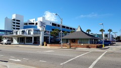
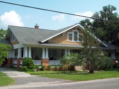
Block
From the record
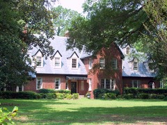
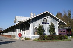
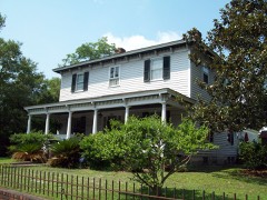
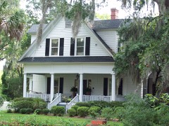
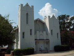
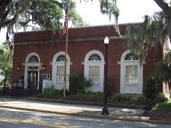
38 National Register listings published here.
Sources: the National Register database, National Park Service
99 topographic sheets and 6 fire insurance atlases across 2 places.
38 National Register listings published here.
Sources: the National Register database, National Park Service
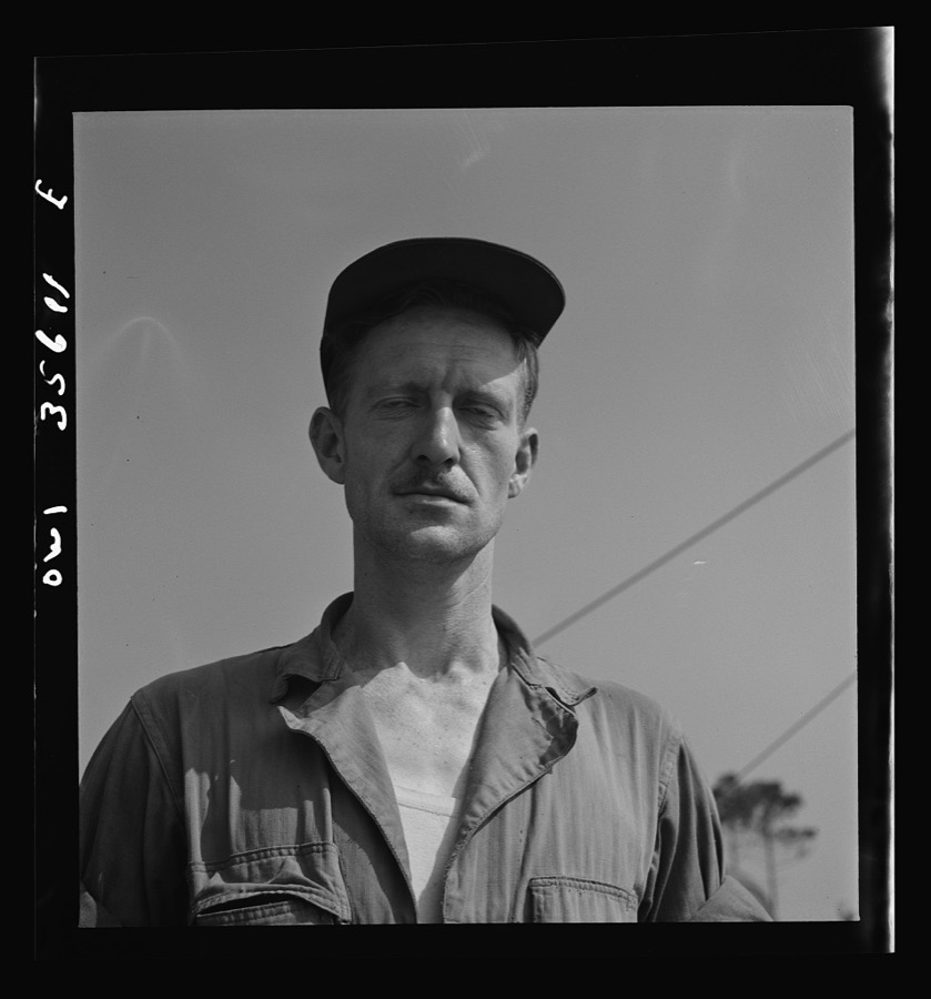
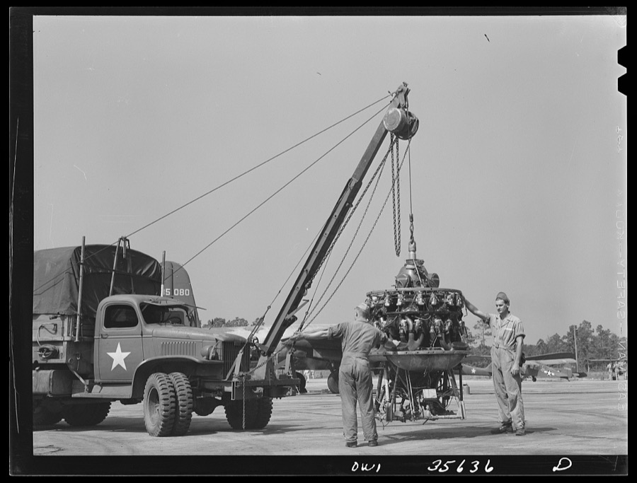
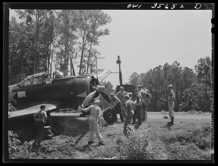
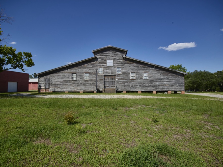
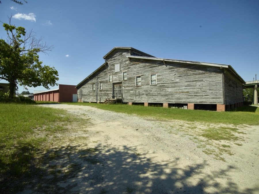
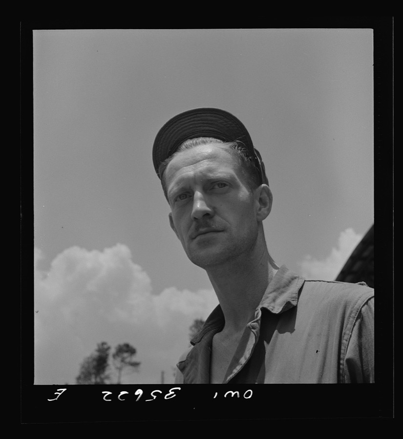
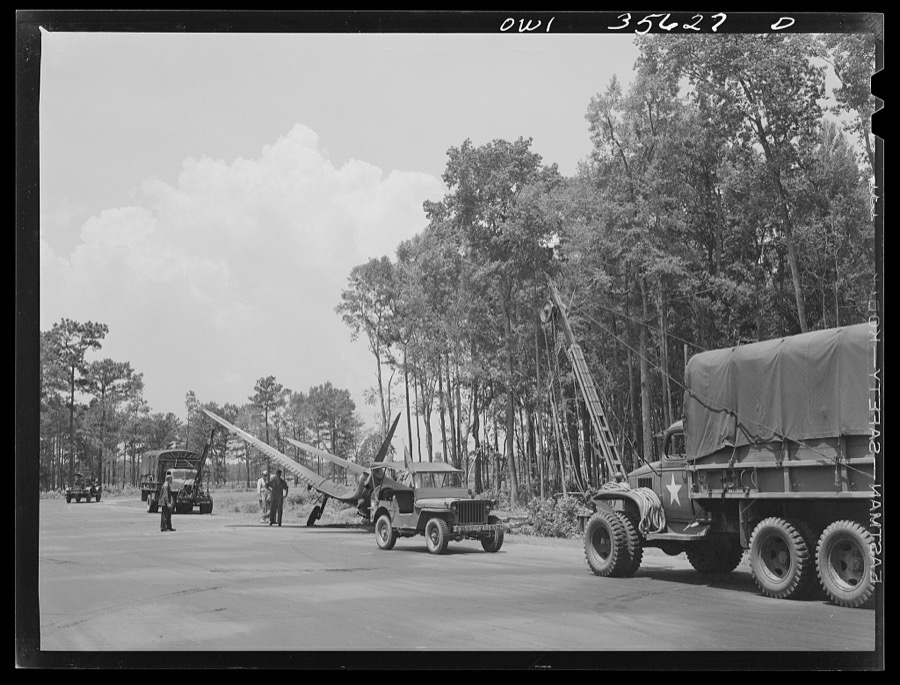
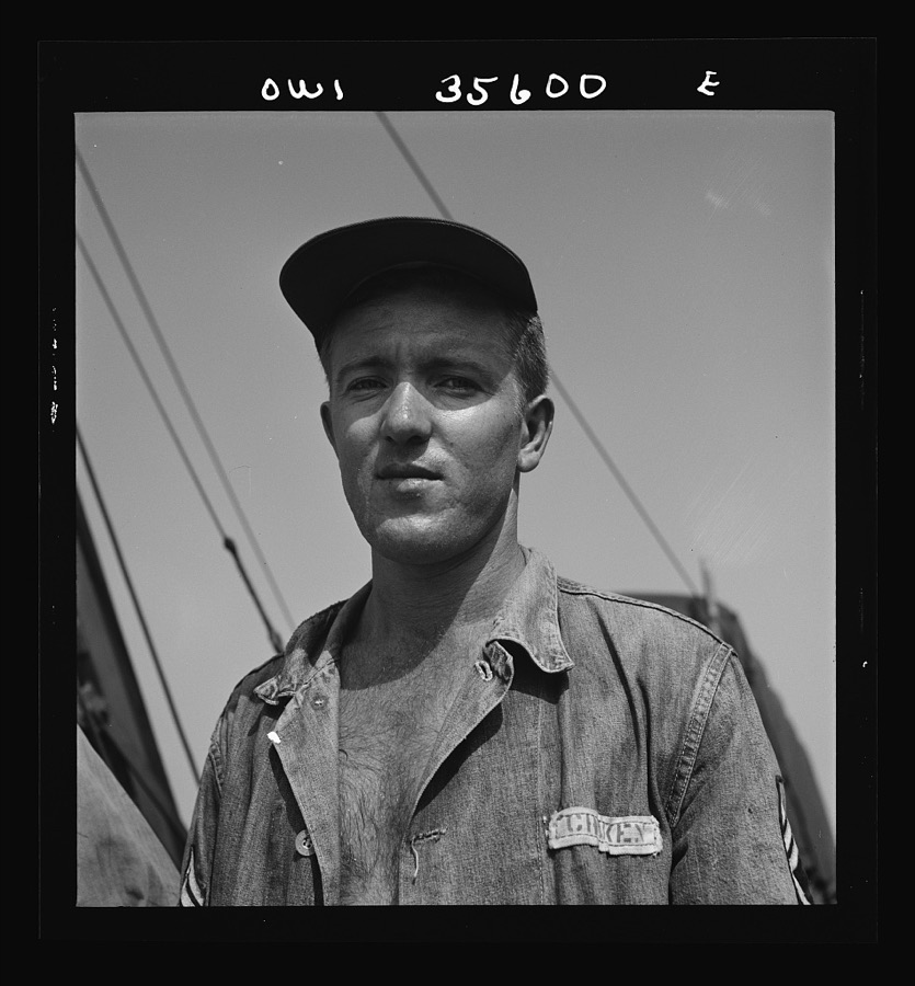
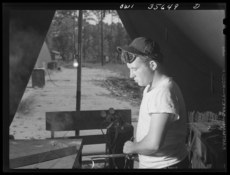
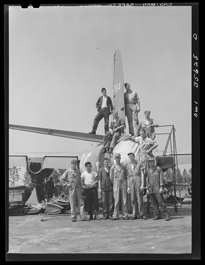
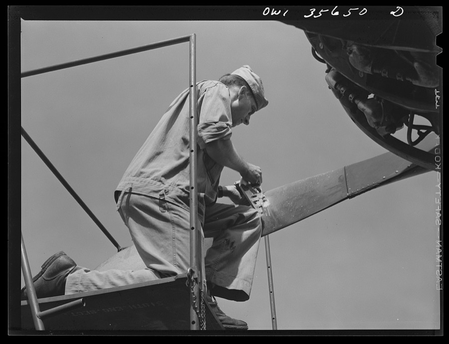
Taken for the Office of War Information and the Farm Security Administration, who photographed the country between 1935 and 1944. Works of United States government photographers, with no known restriction on use. Each opens its catalogue record.
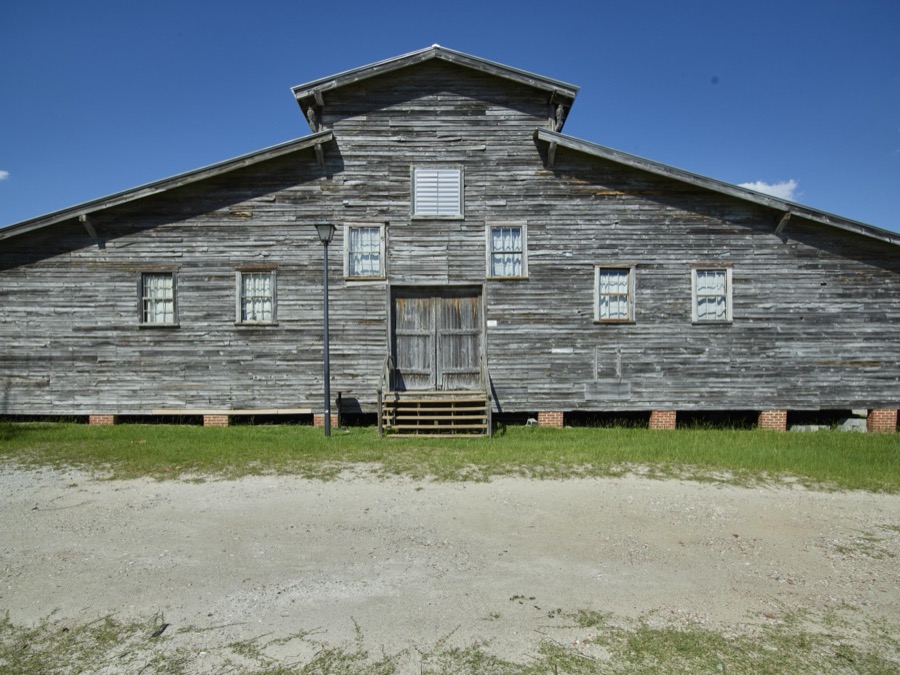

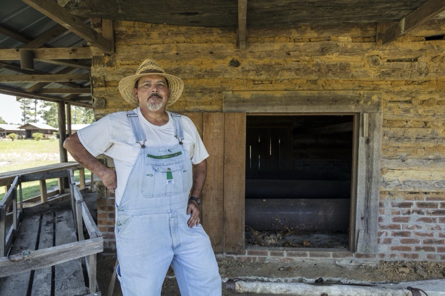
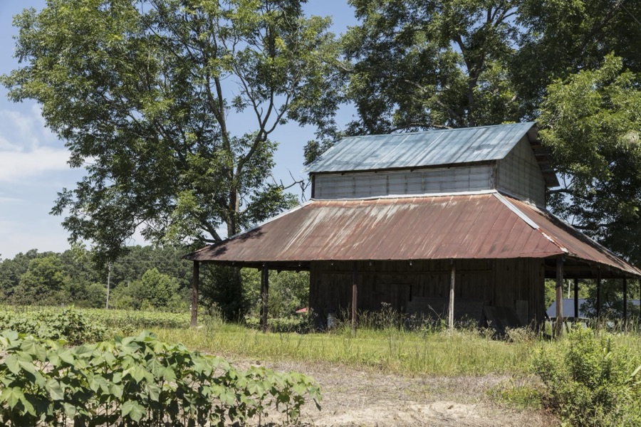











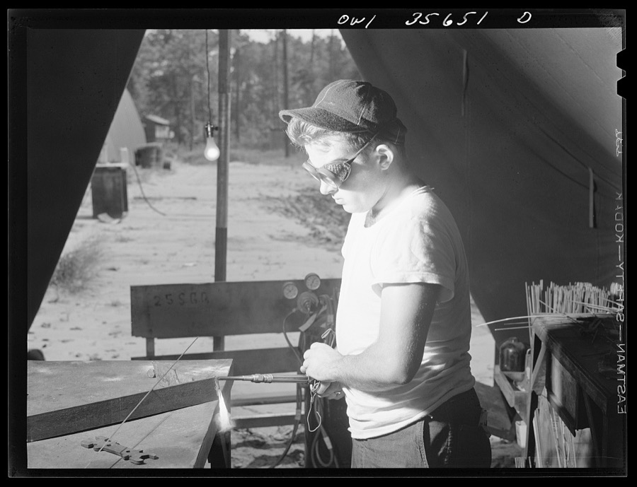
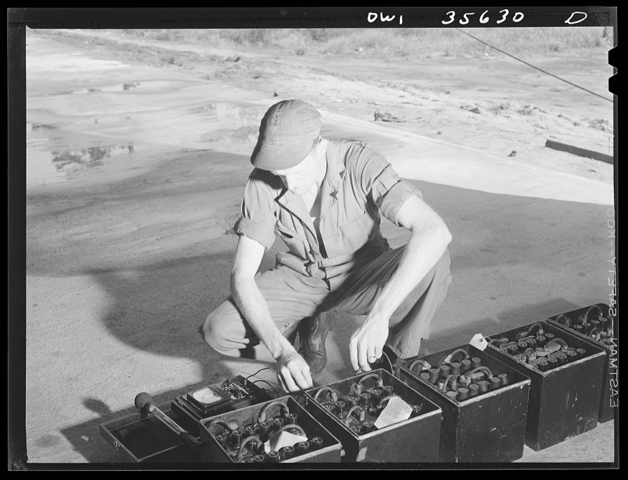
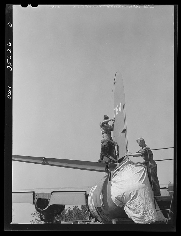
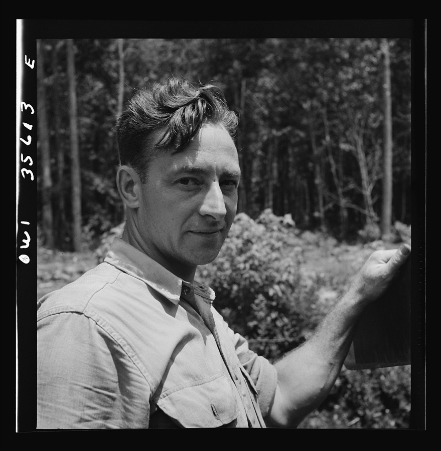
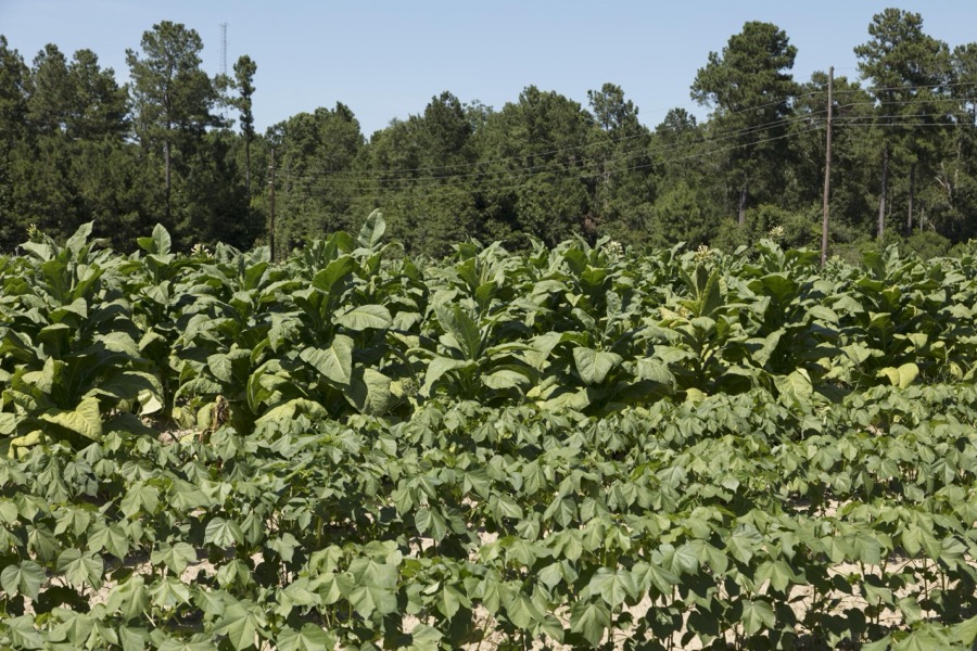

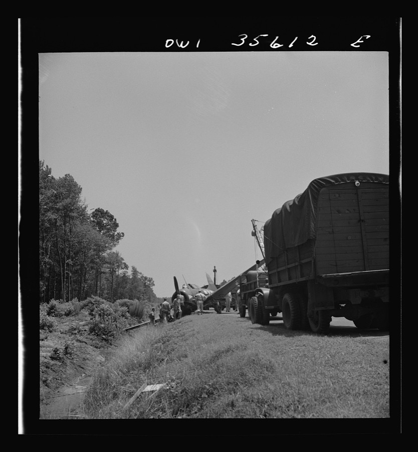
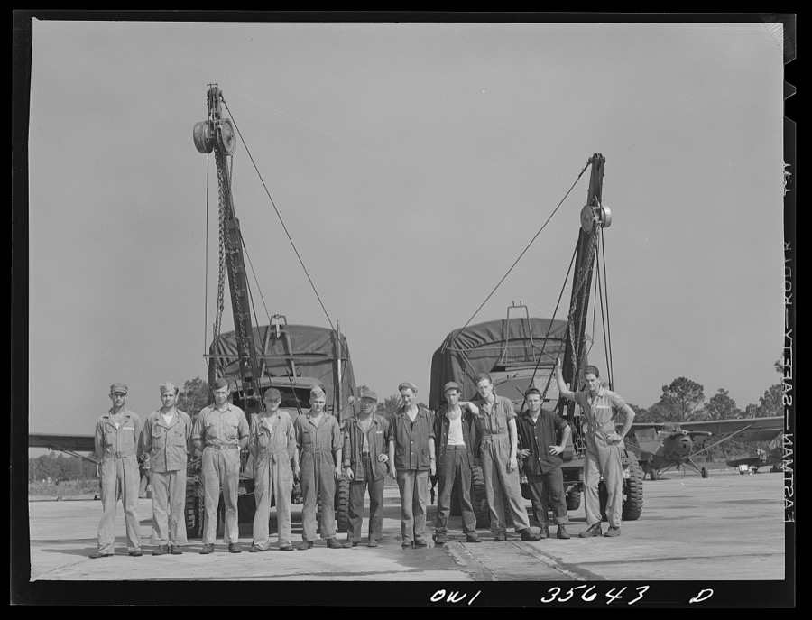

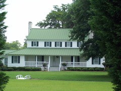
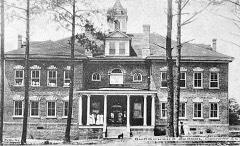
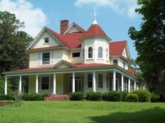
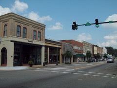
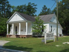
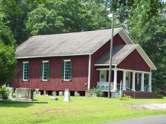
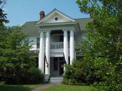
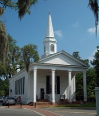
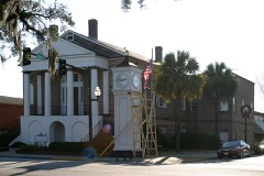
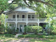
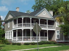
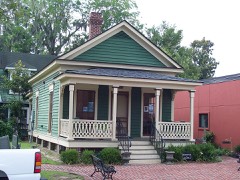
Every property in this county listed on the National Register of Historic Places, with the year it was listed and the federal nomination document.
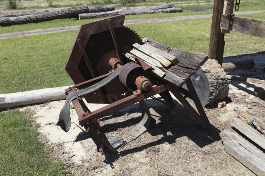
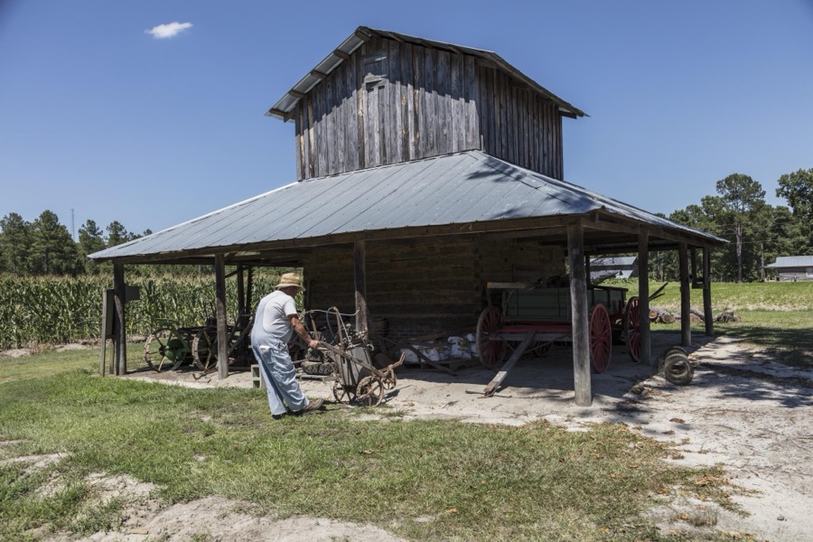
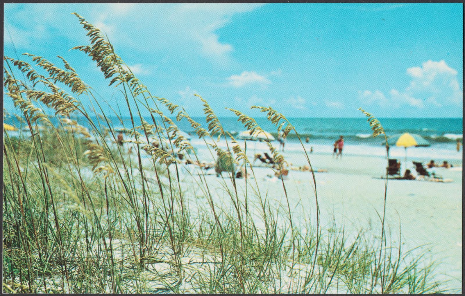
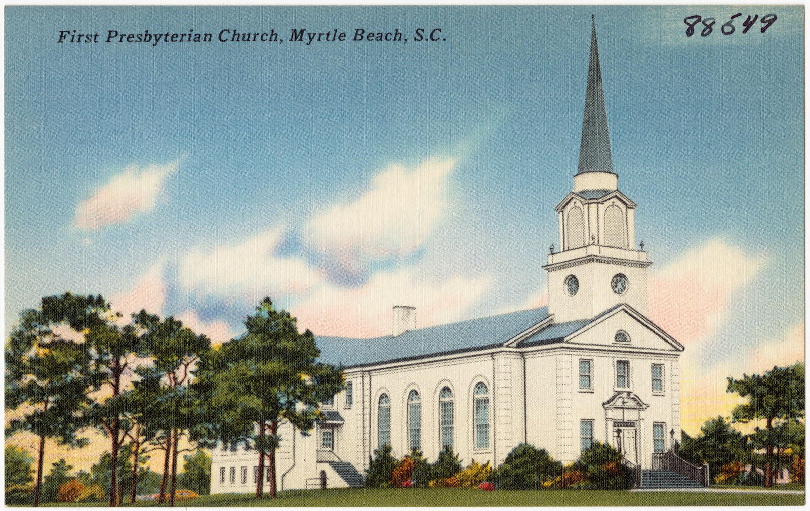
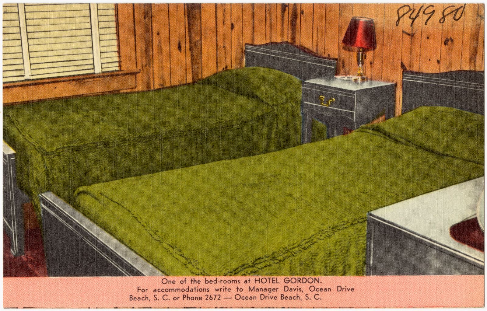
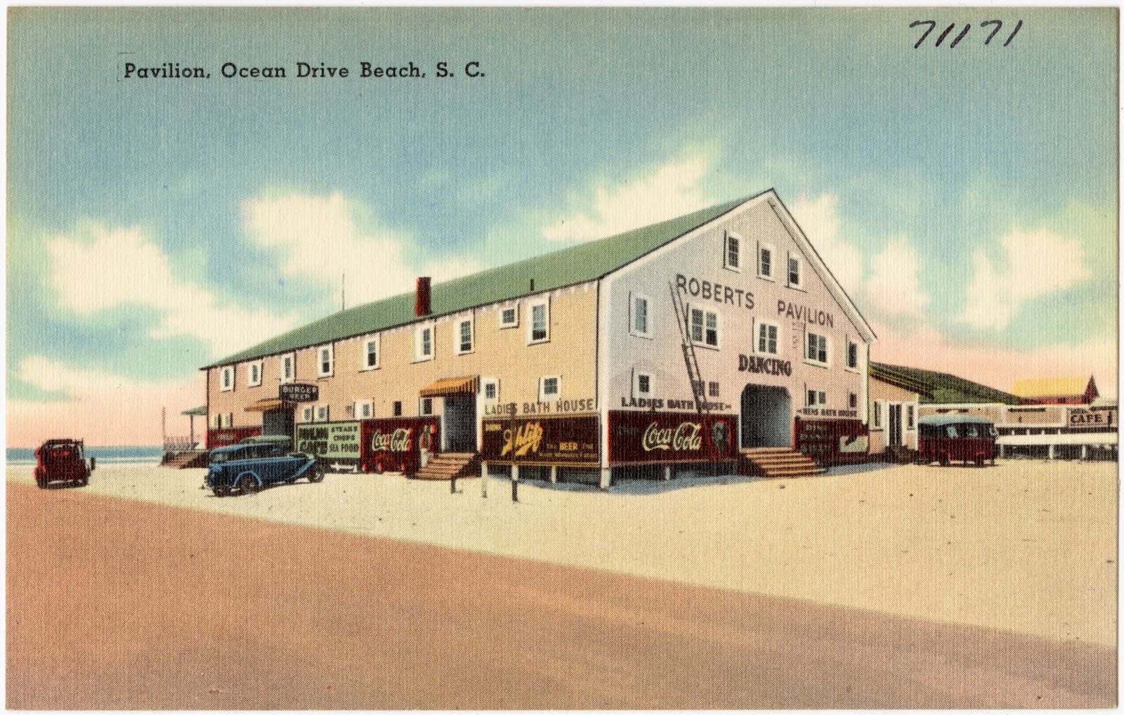
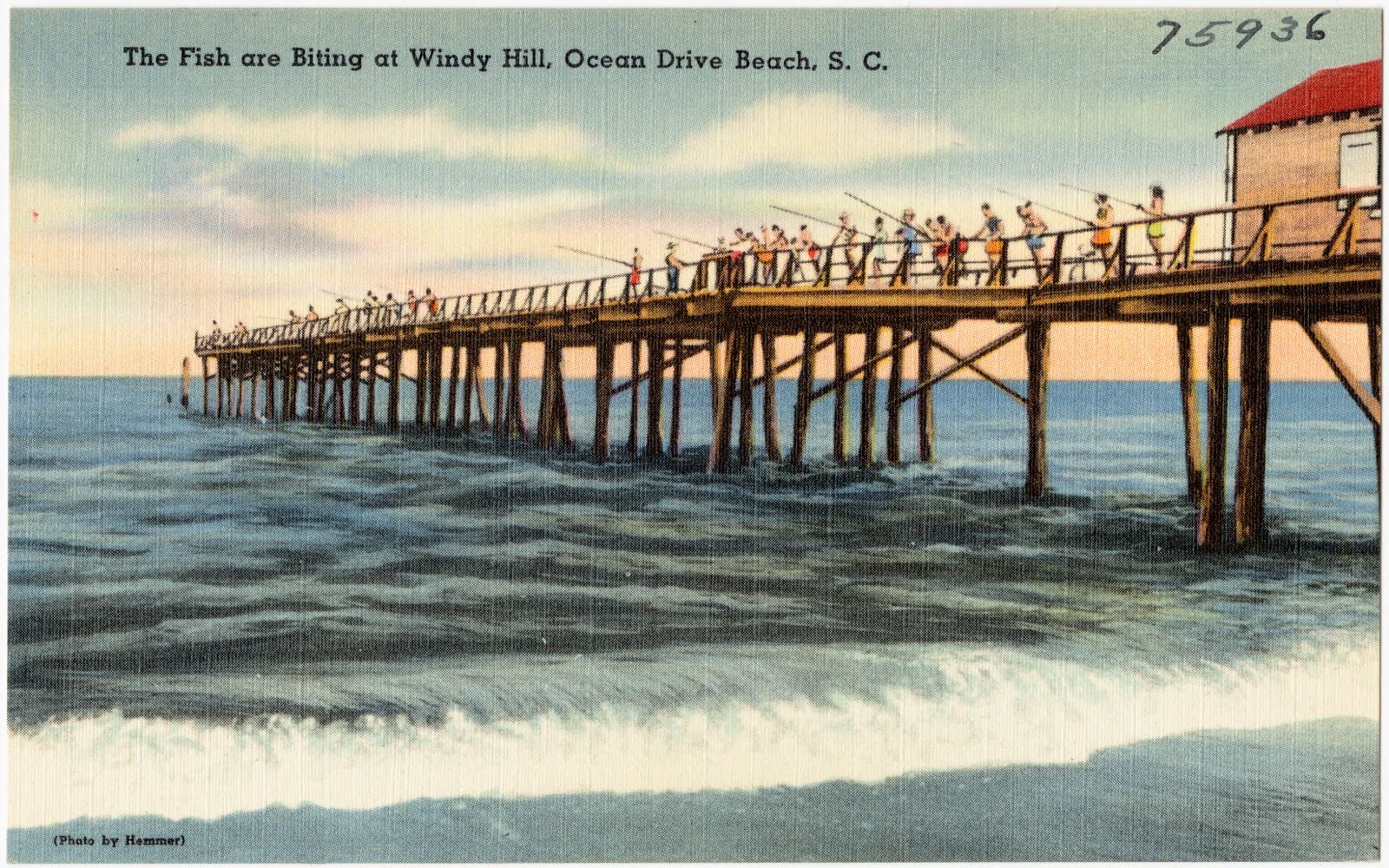
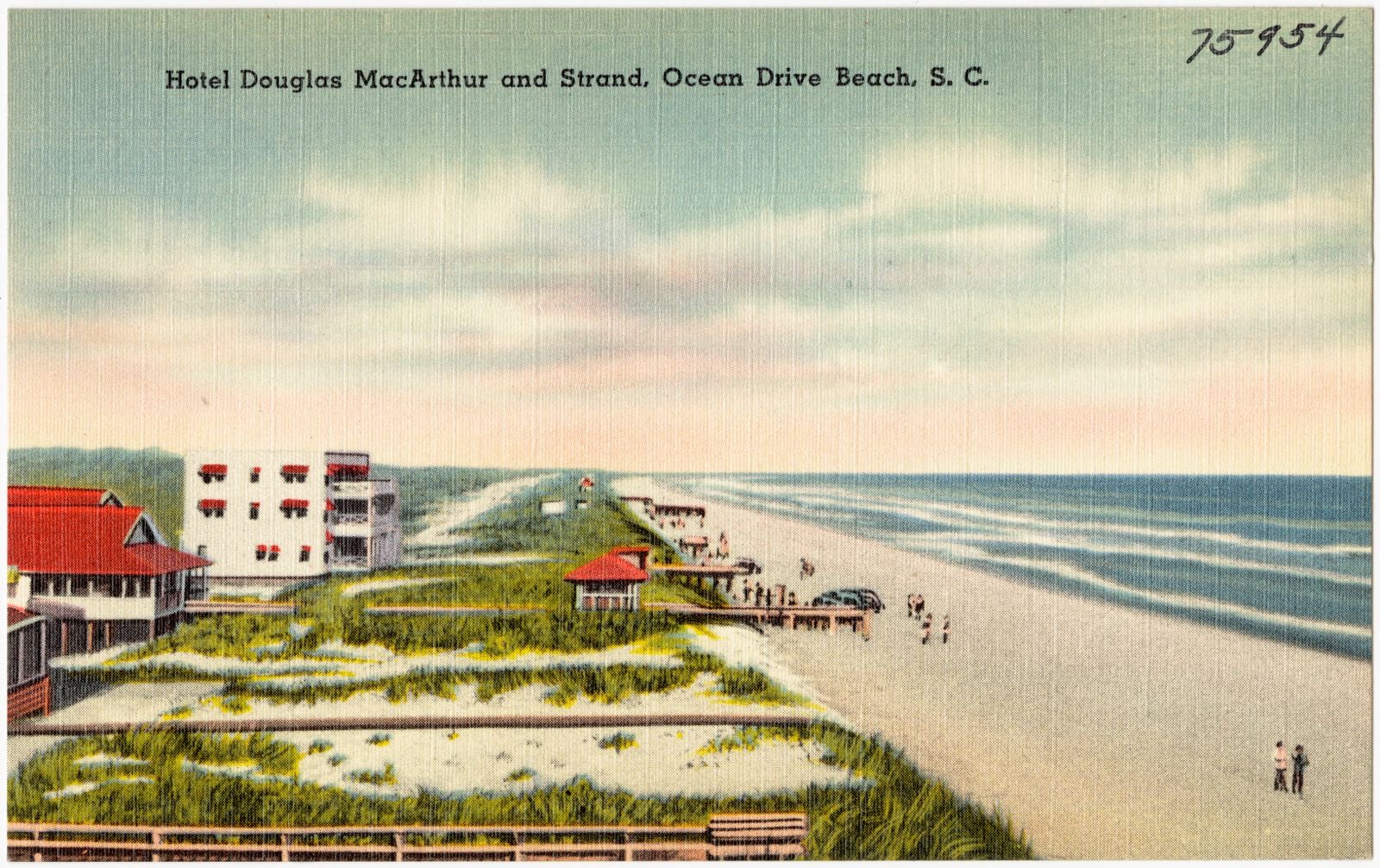
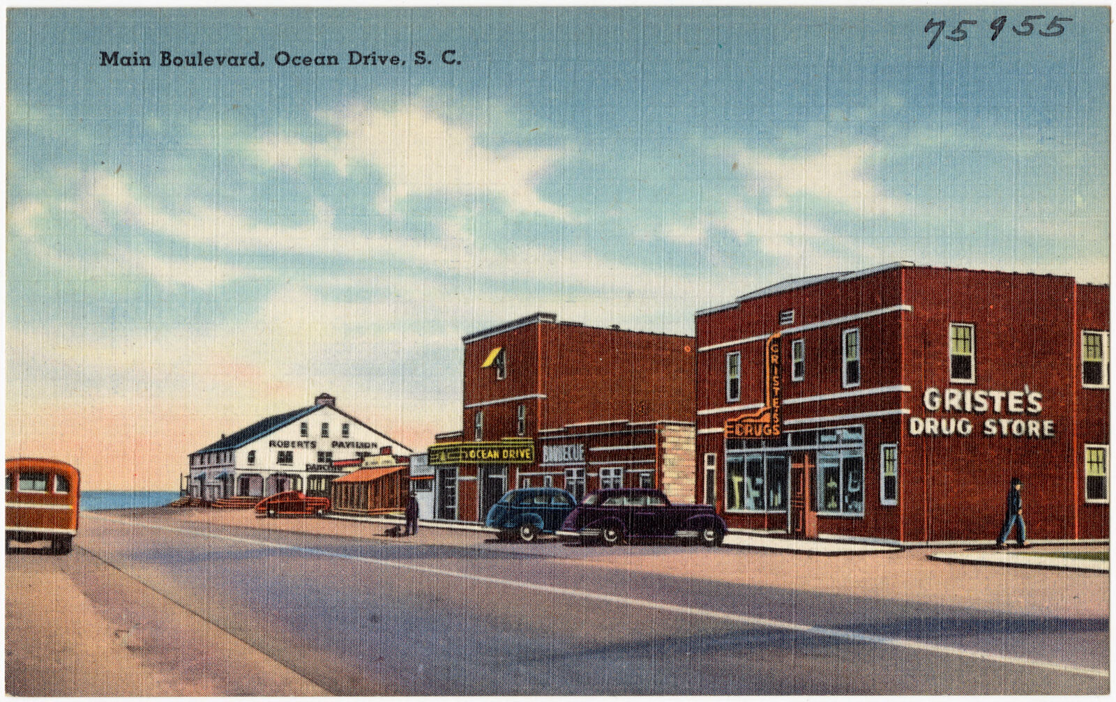
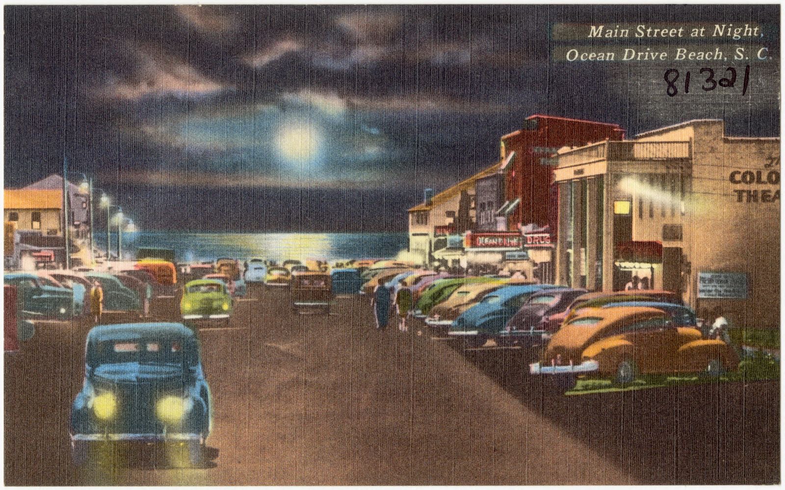
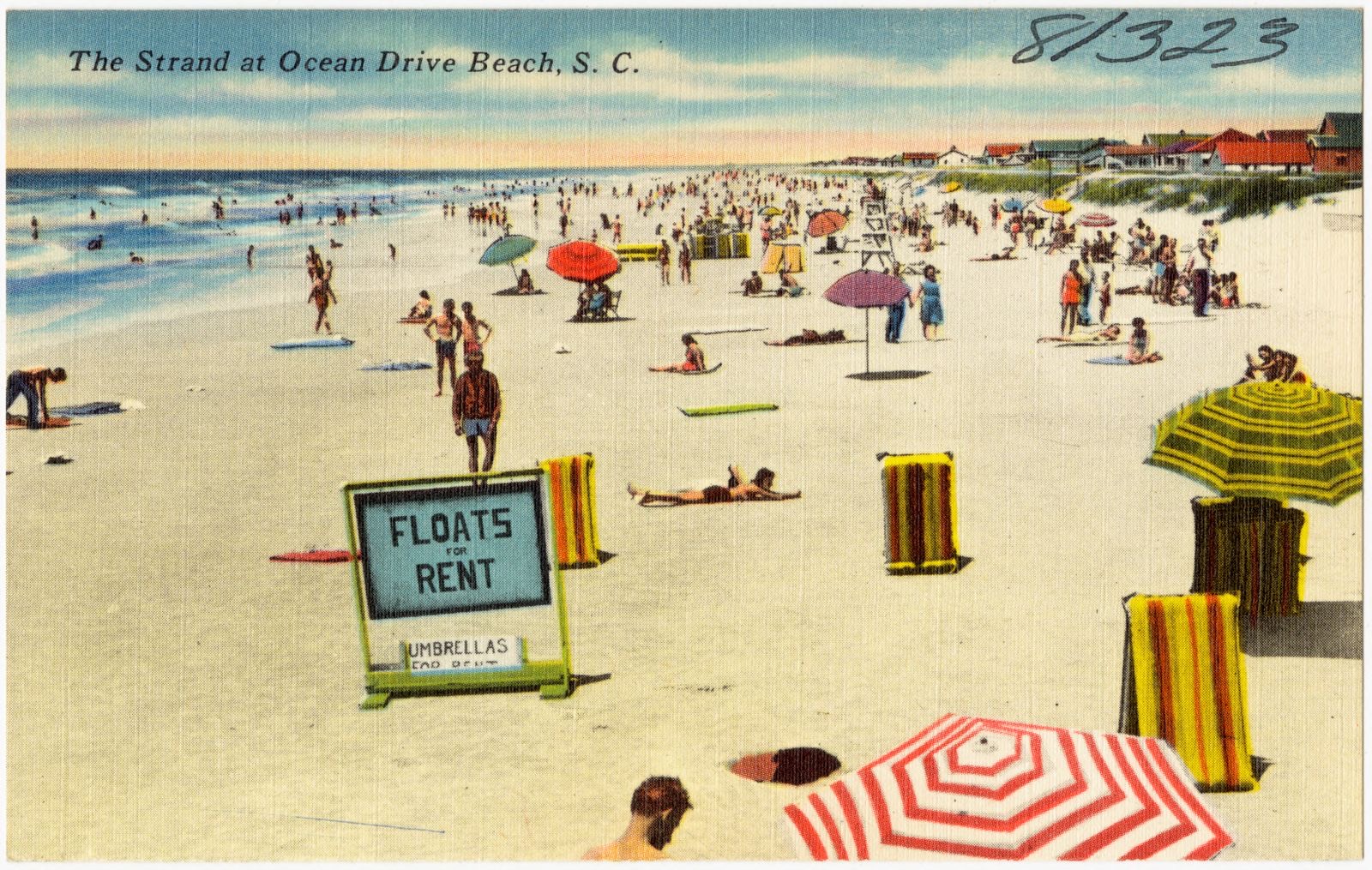
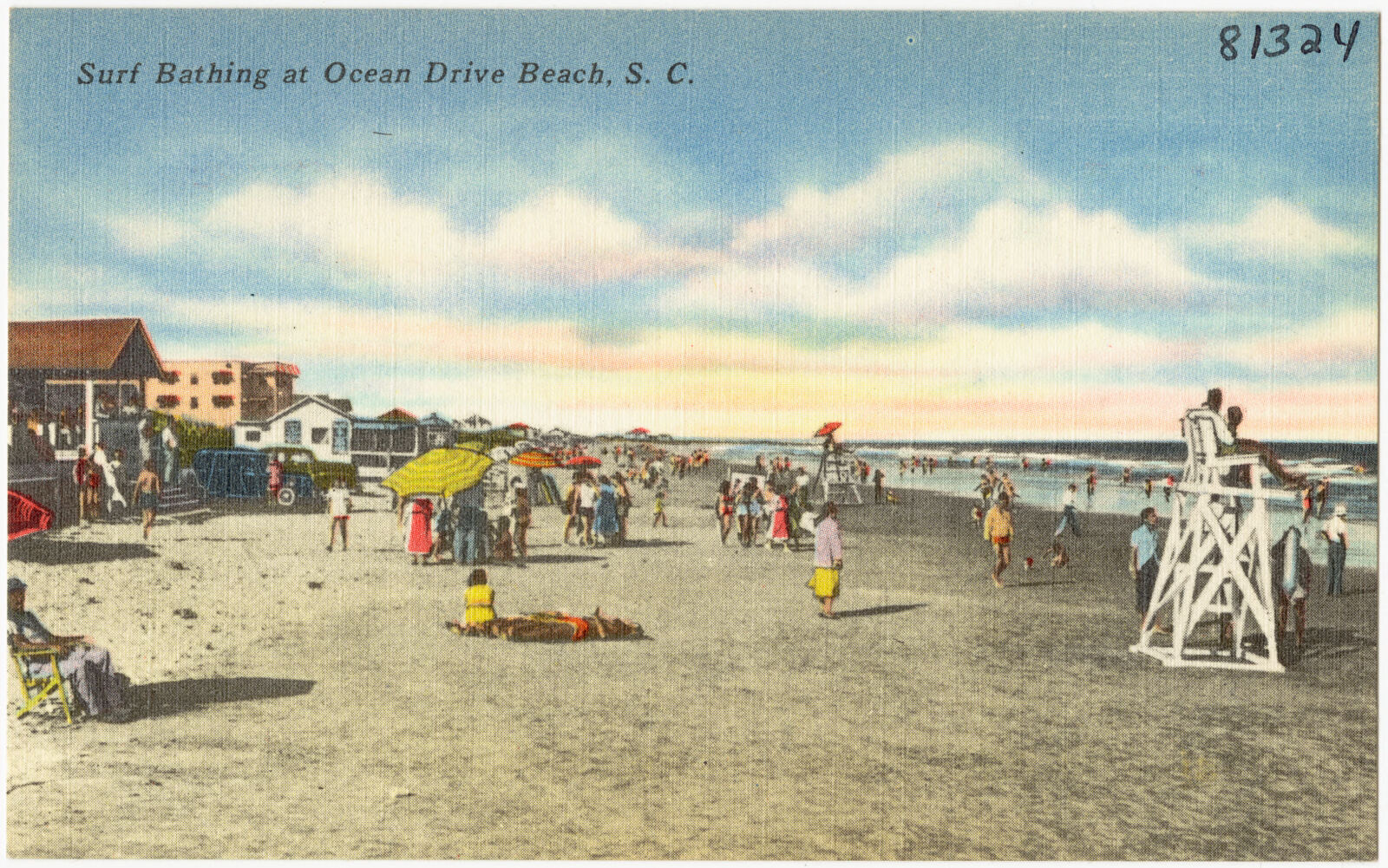
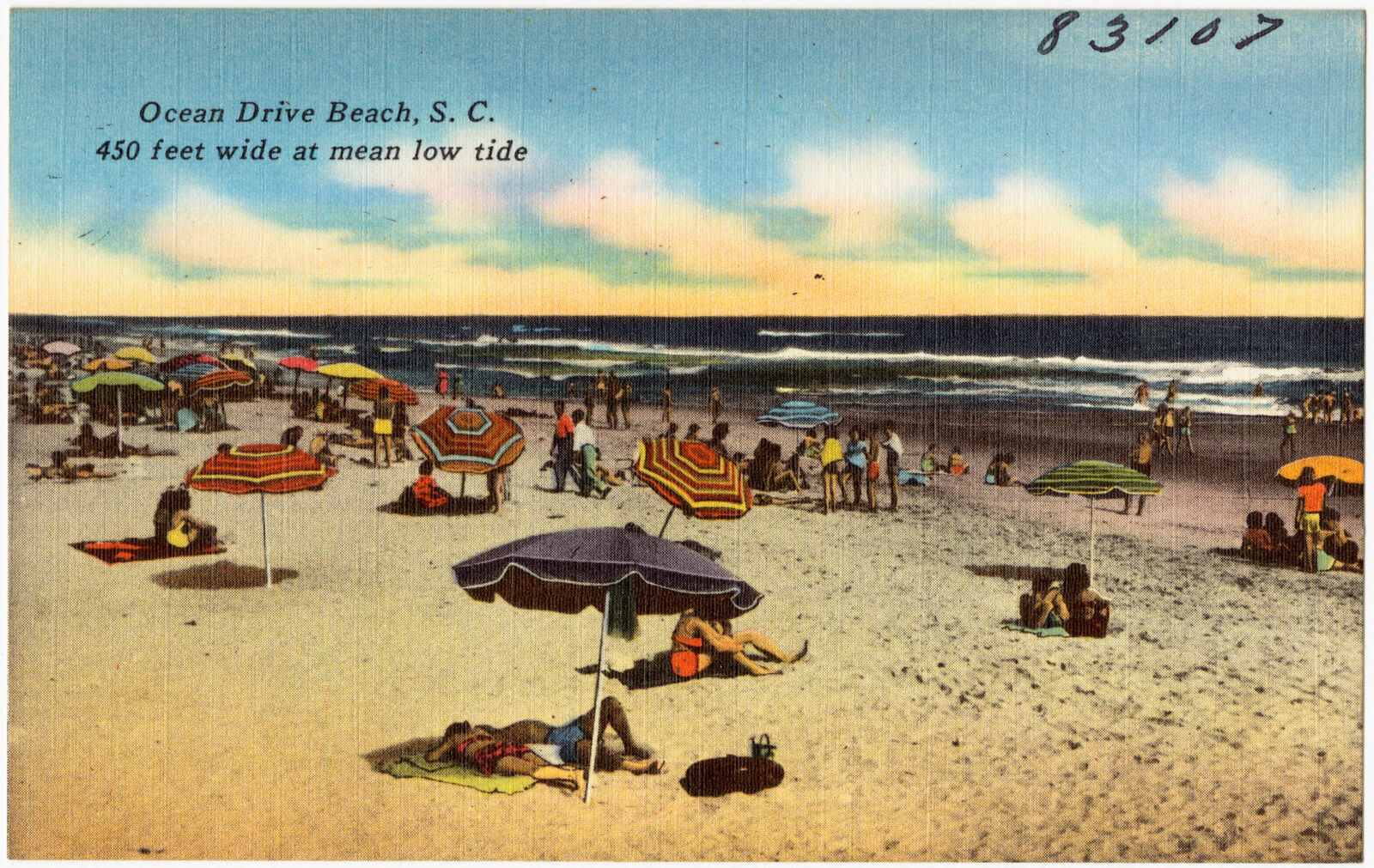
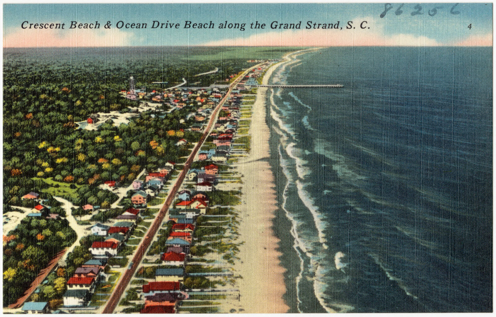
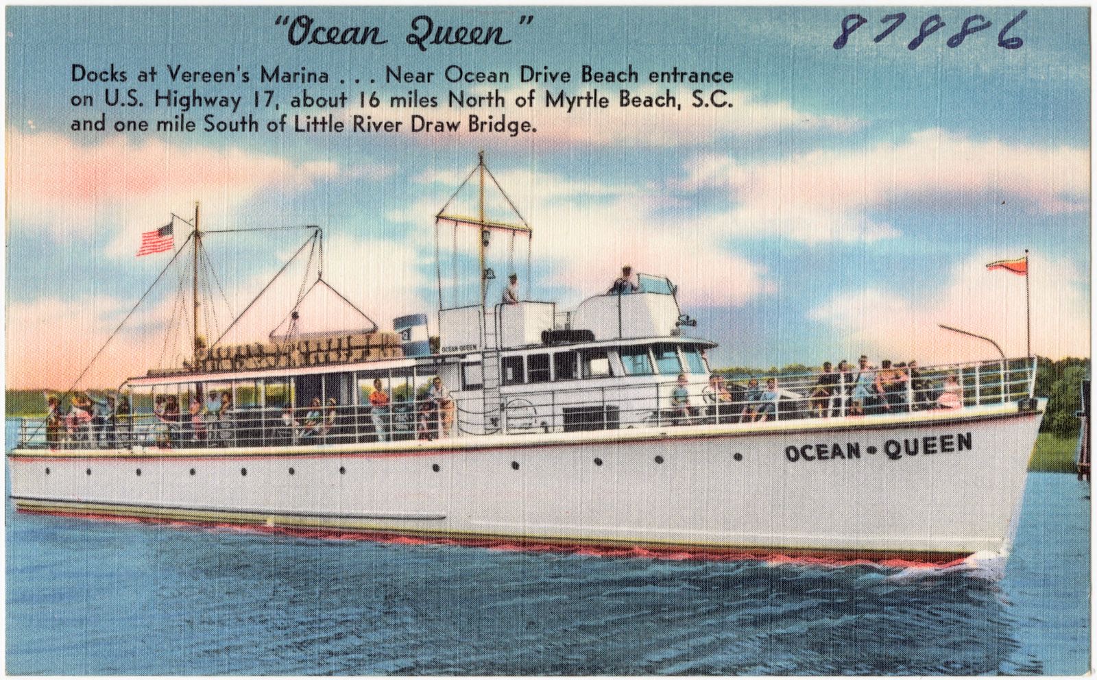
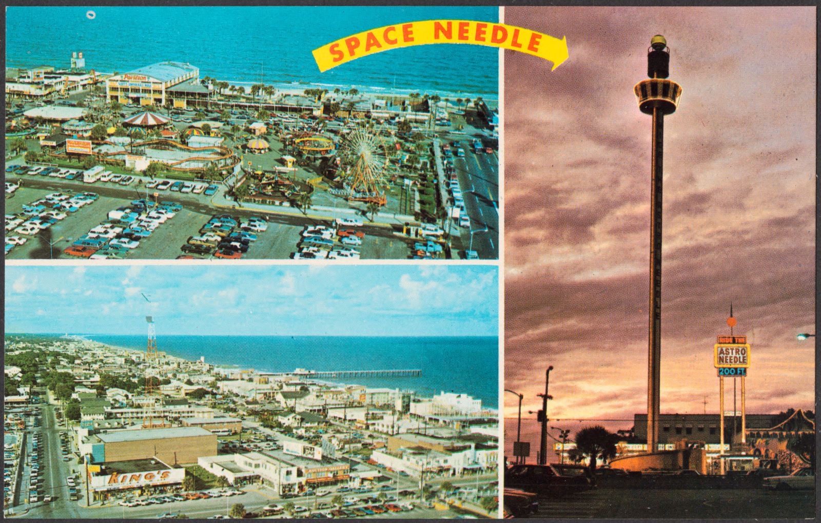
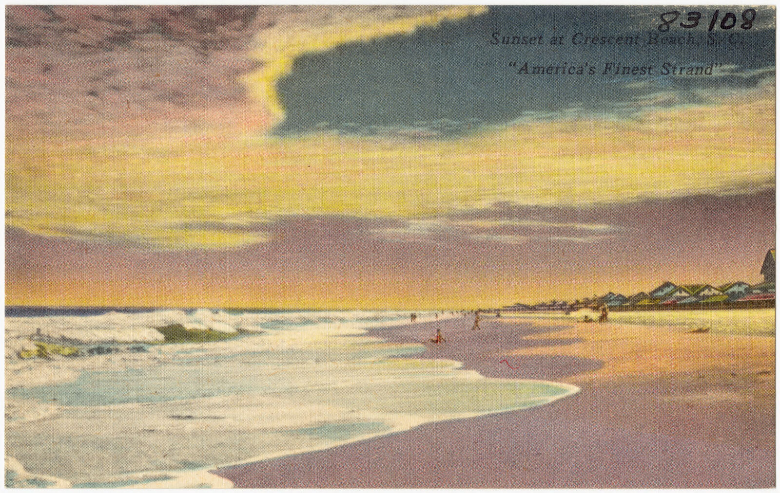
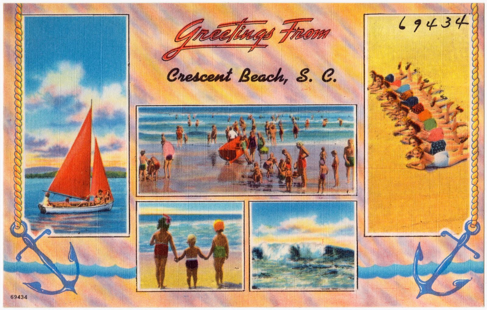
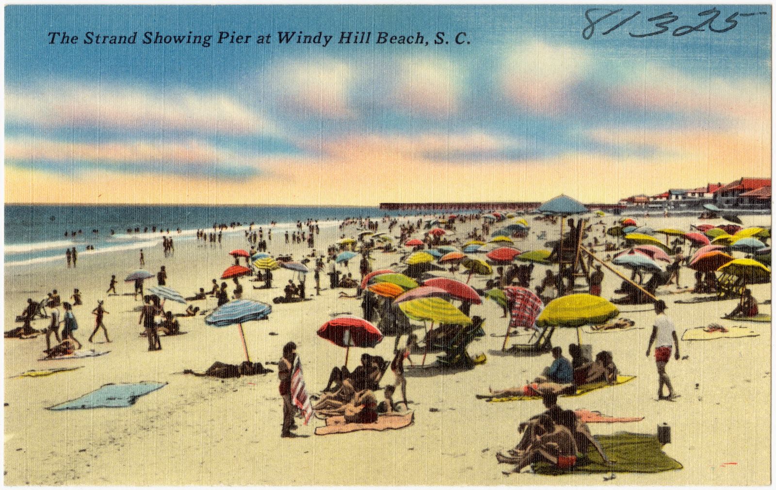
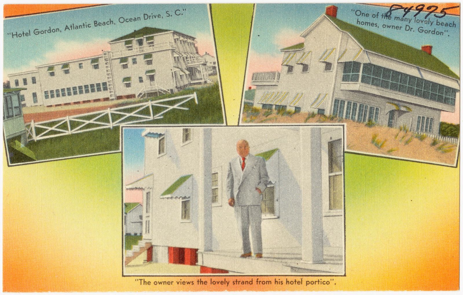
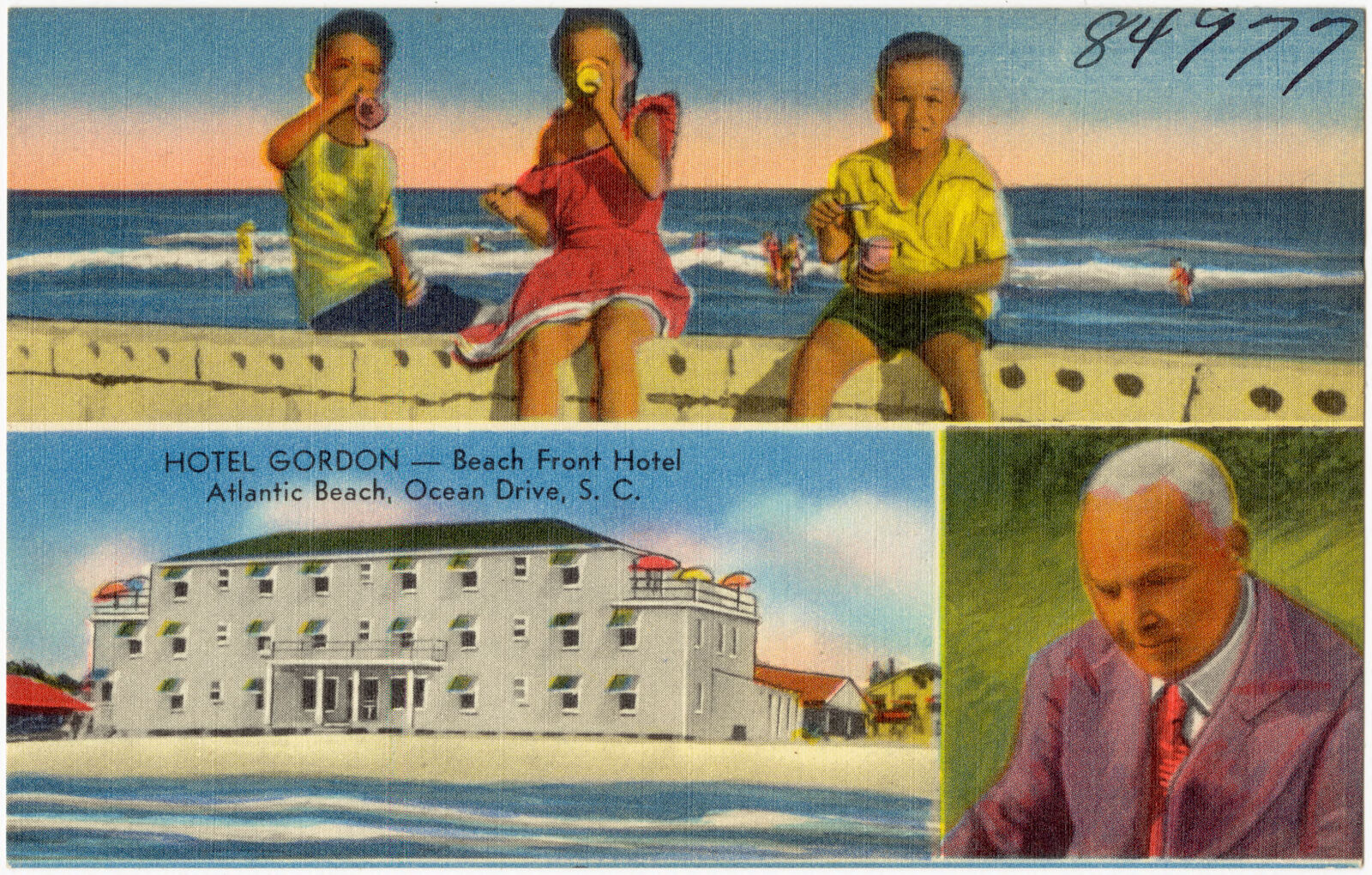
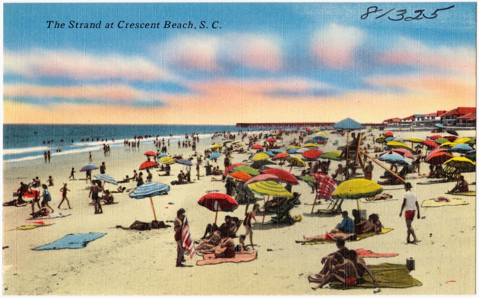
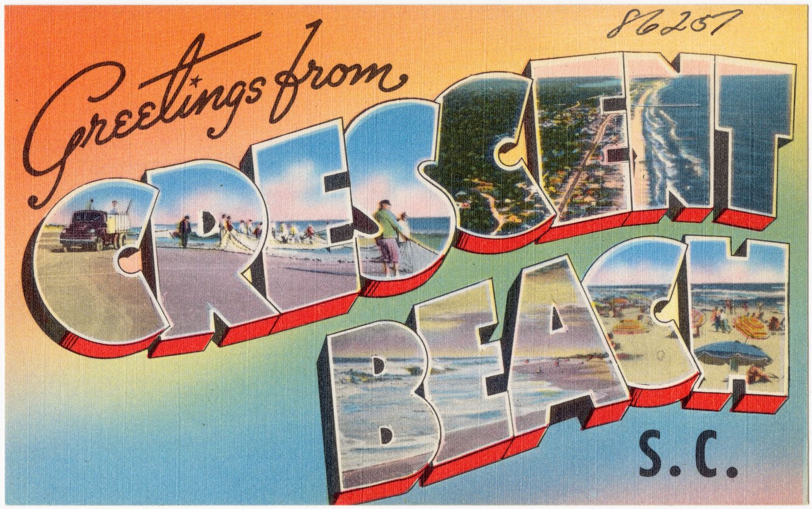
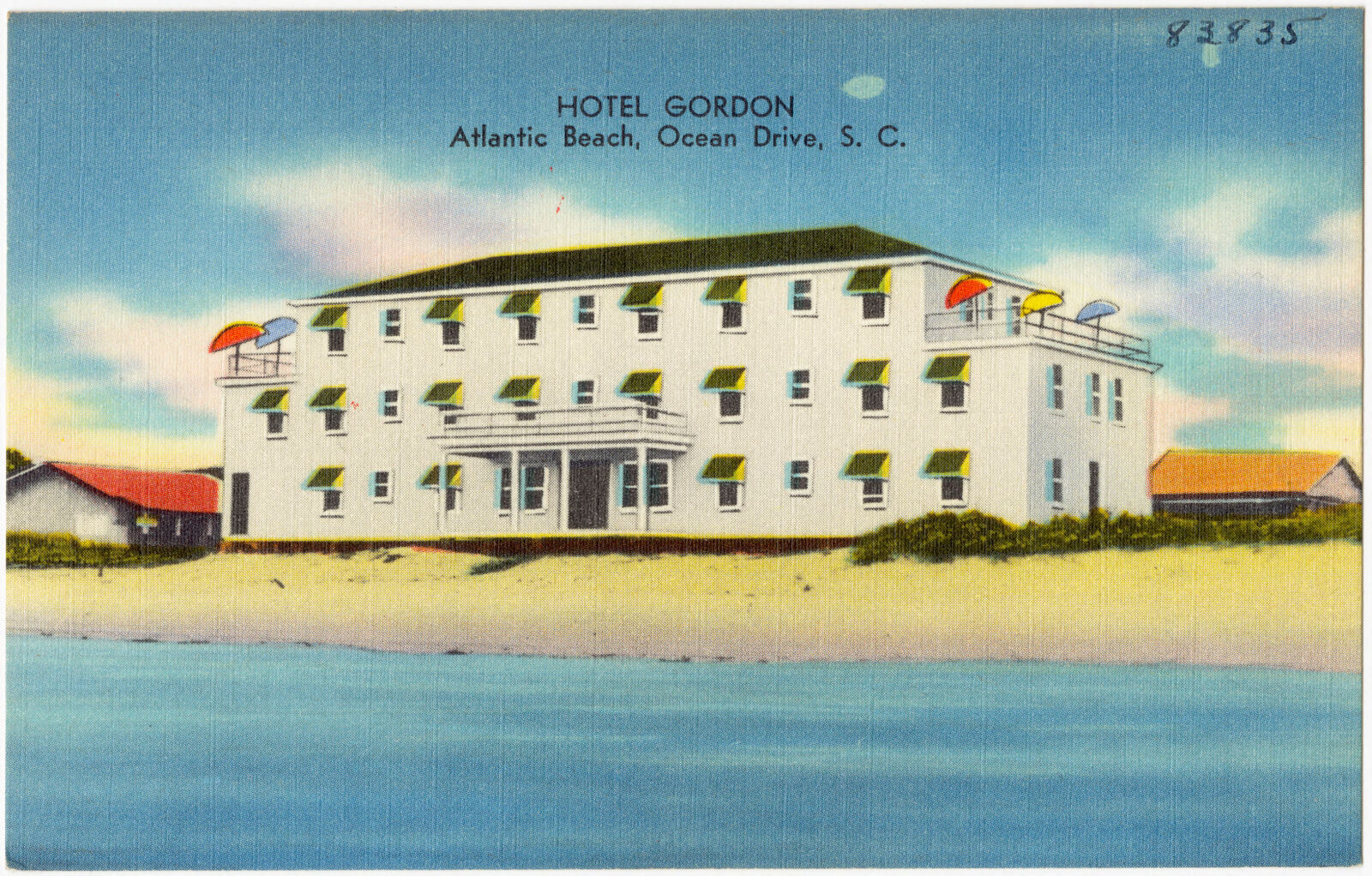
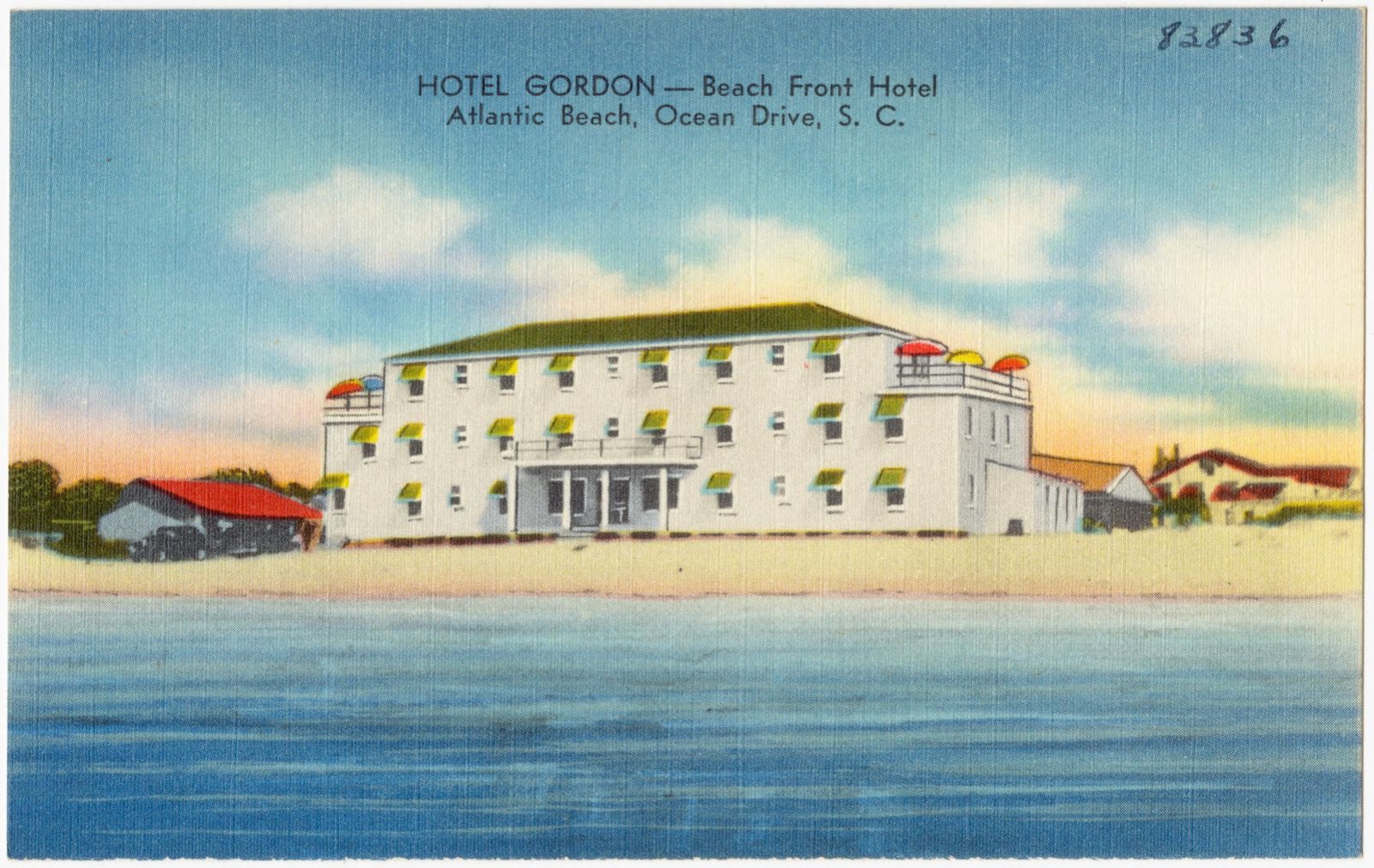
Selected from the Digital Public Library of America's 146 image records catalogued for this county. Every one shown here carries a public-domain status or a licence that permits reuse on a site that carries advertising; non-commercial, share-alike and restricted images are excluded. The selection is spread across the county's towns (at most eight per town), so no single institution's bulk upload crowds out the rest. Each opens the holding library's record, and the complete set at the Digital Public Library of America is one click away.

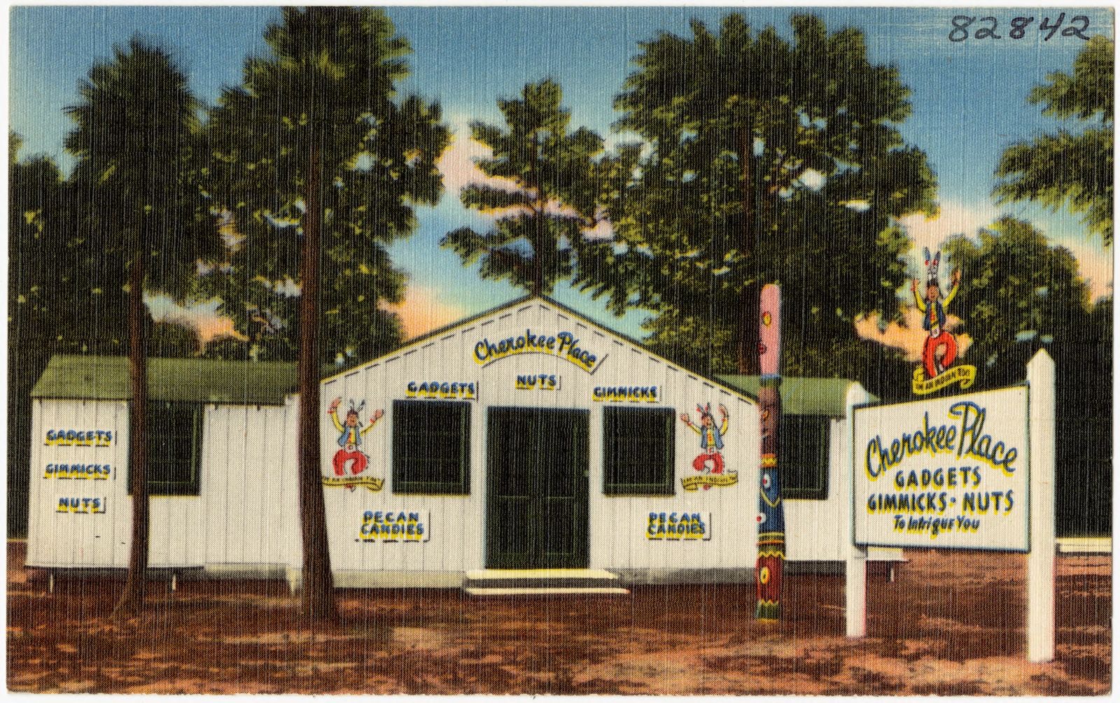
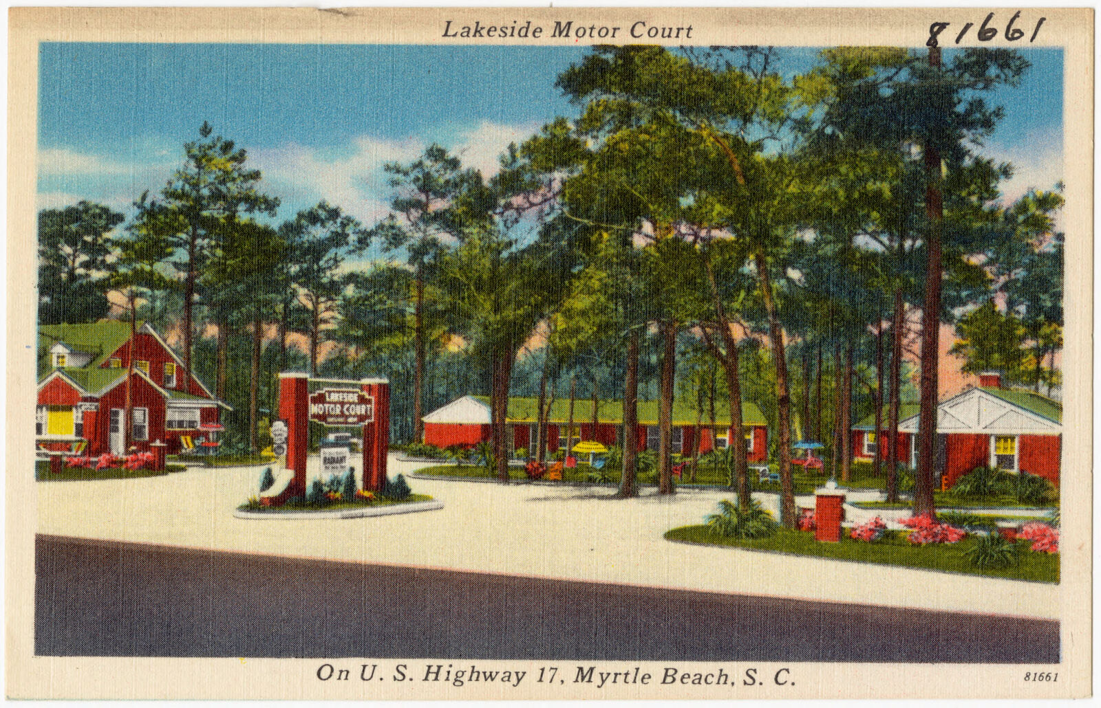
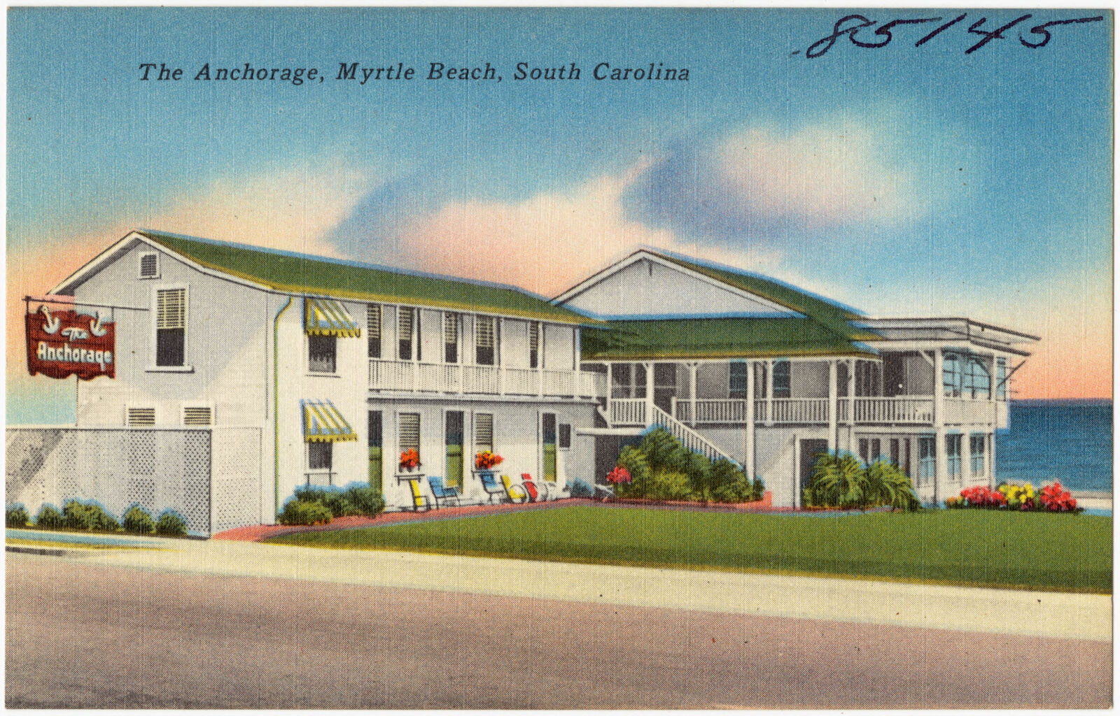
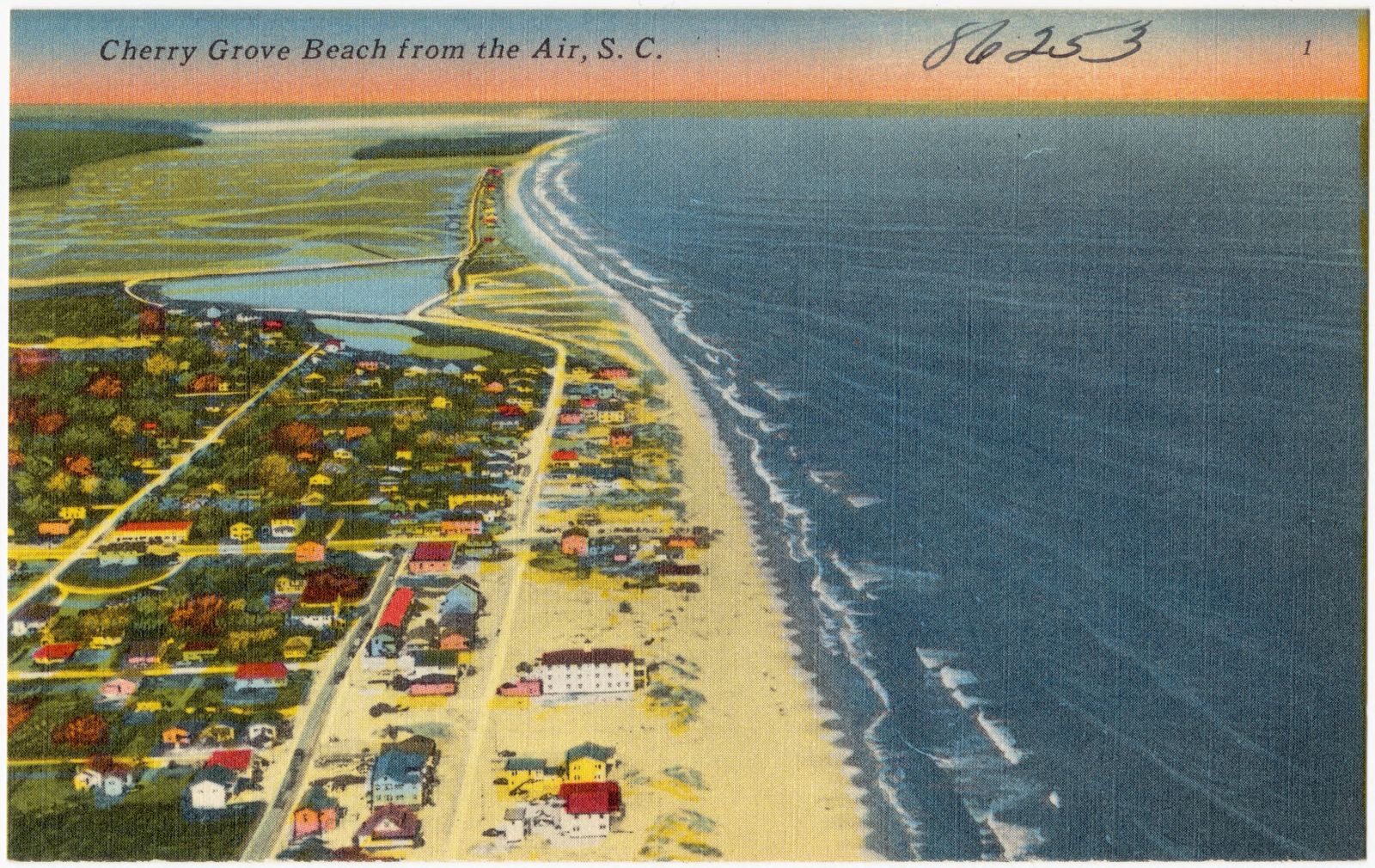


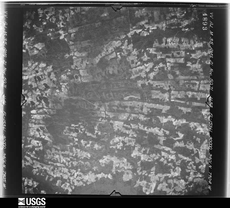
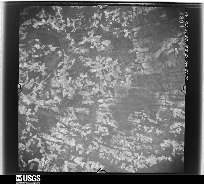
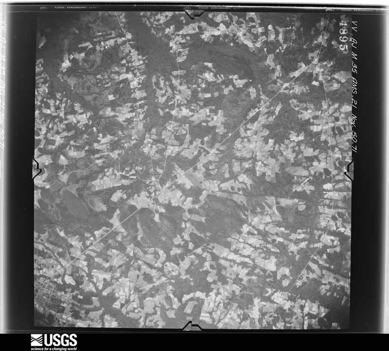
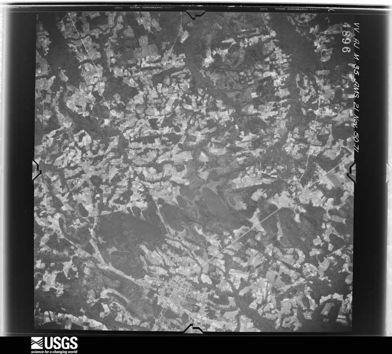
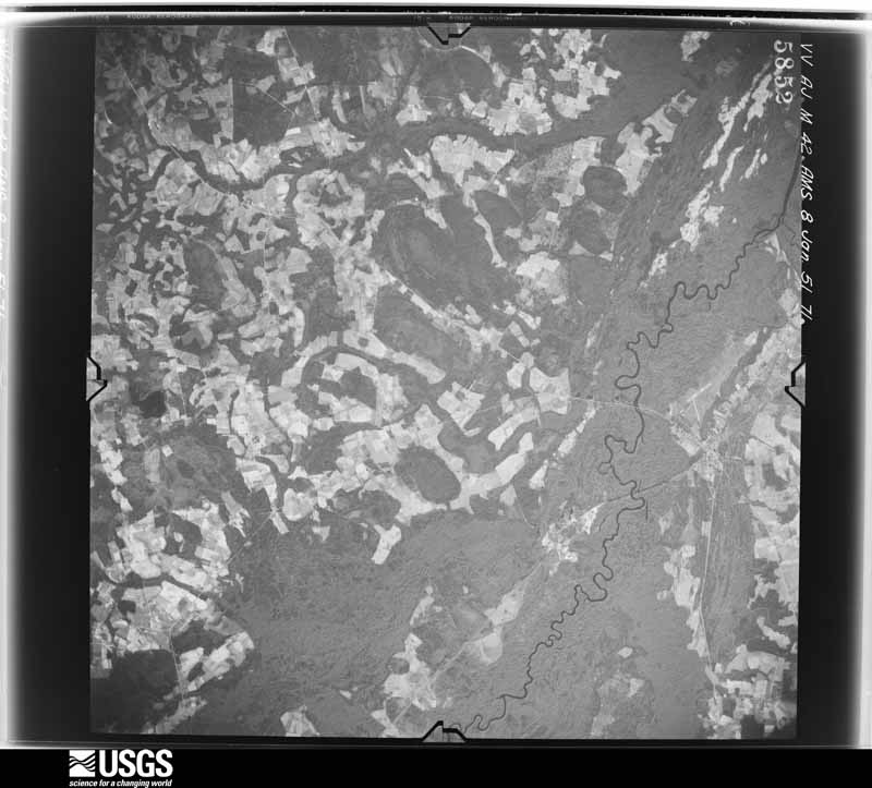
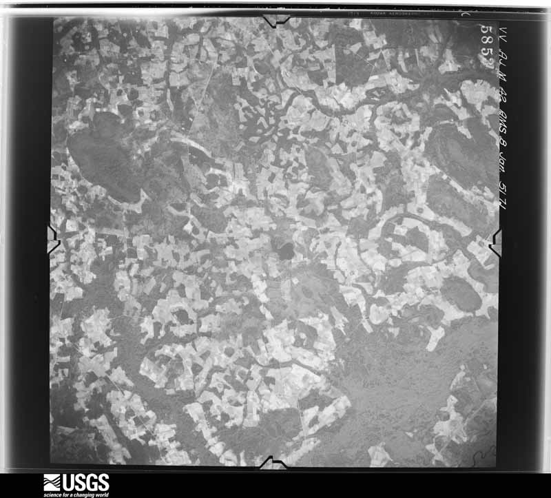
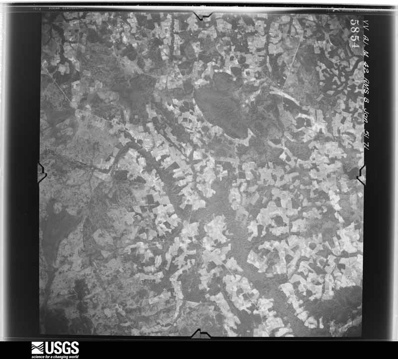
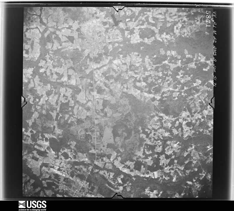
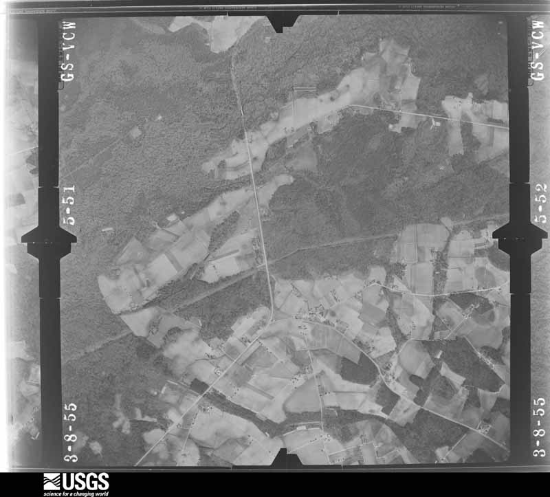
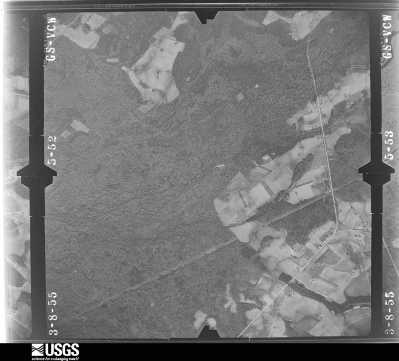
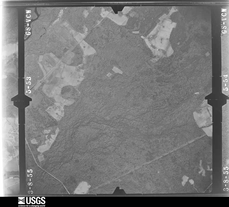
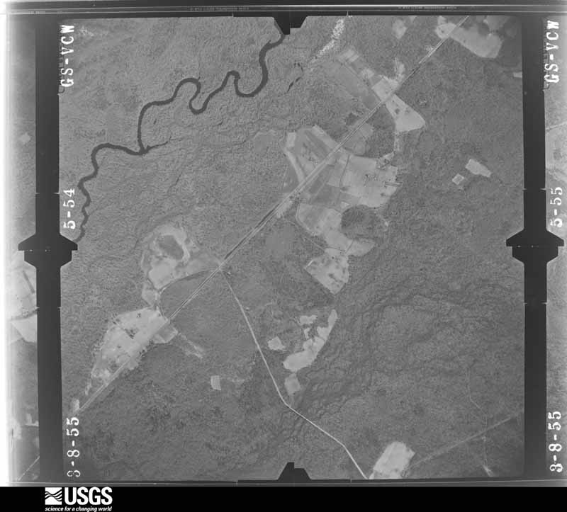
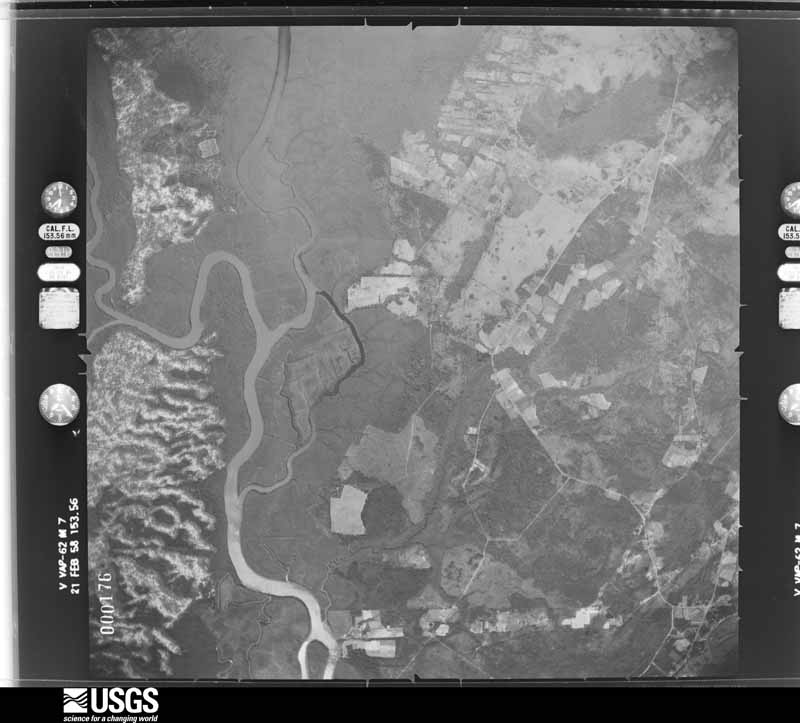
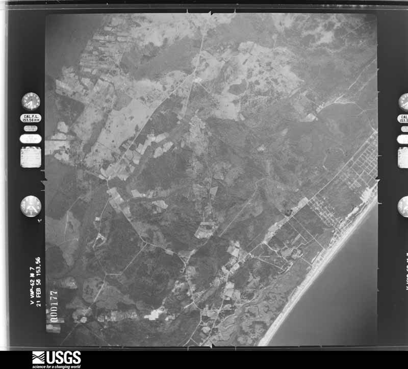
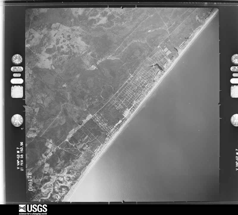
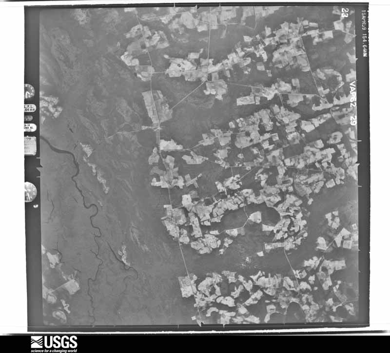
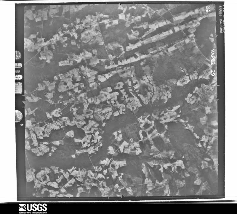
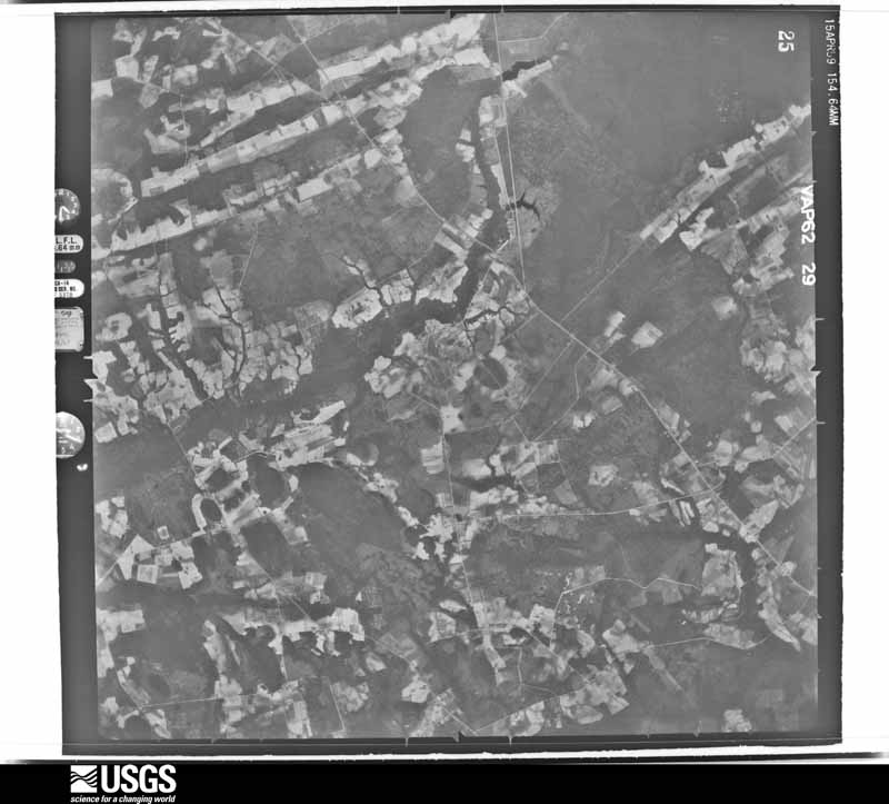
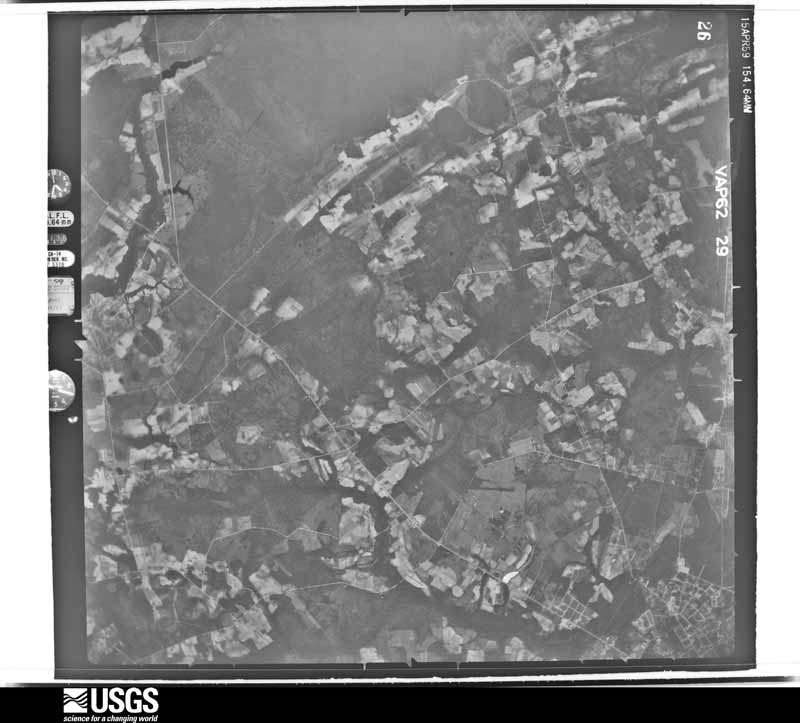
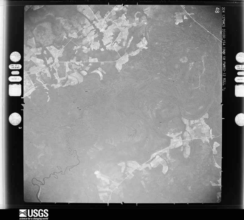
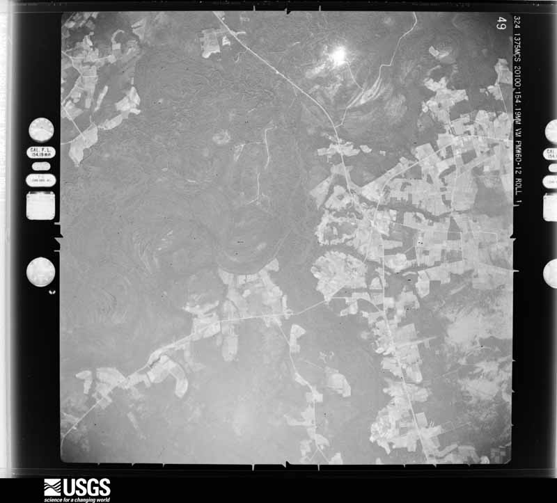
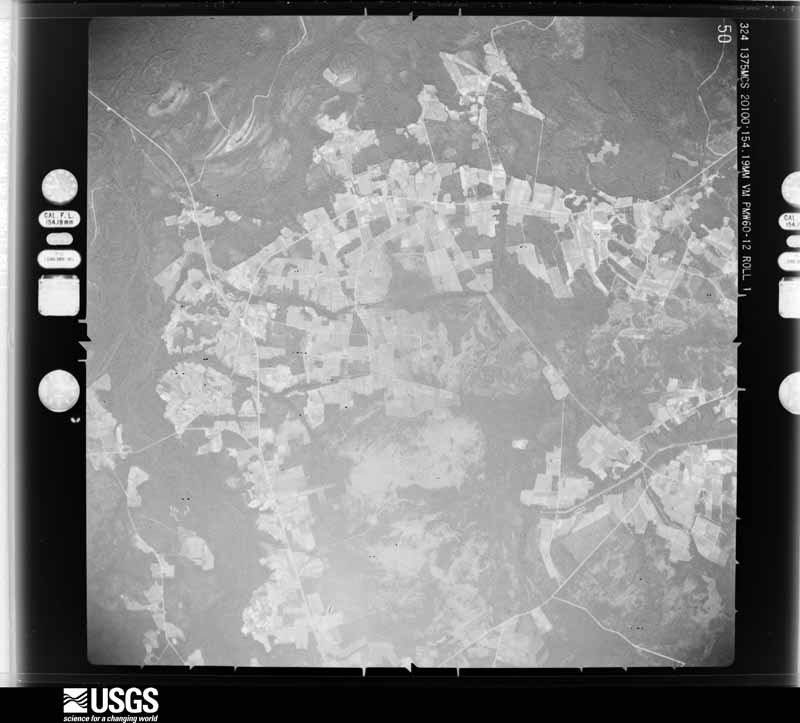
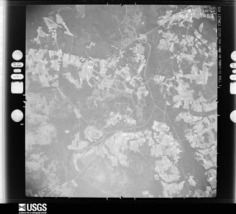
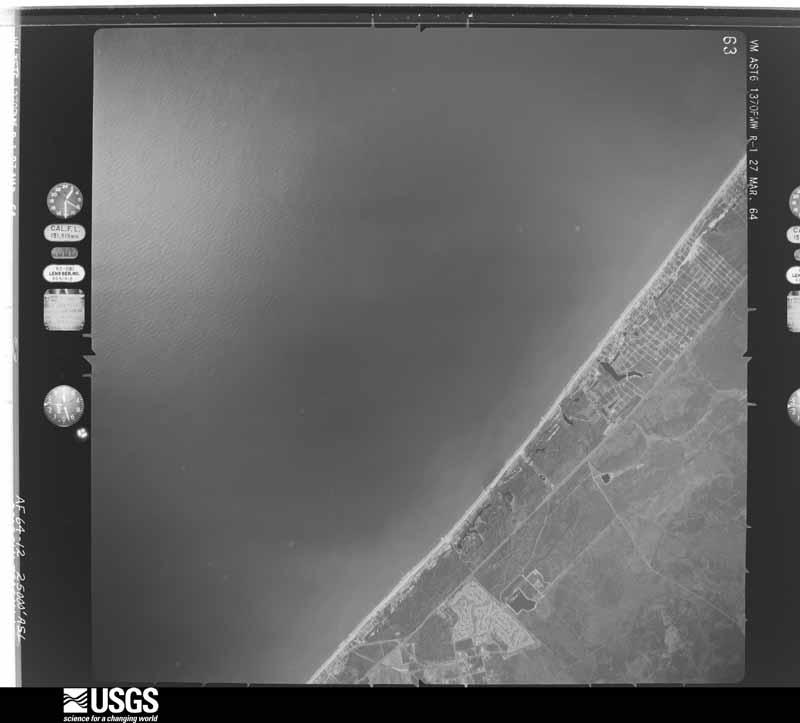
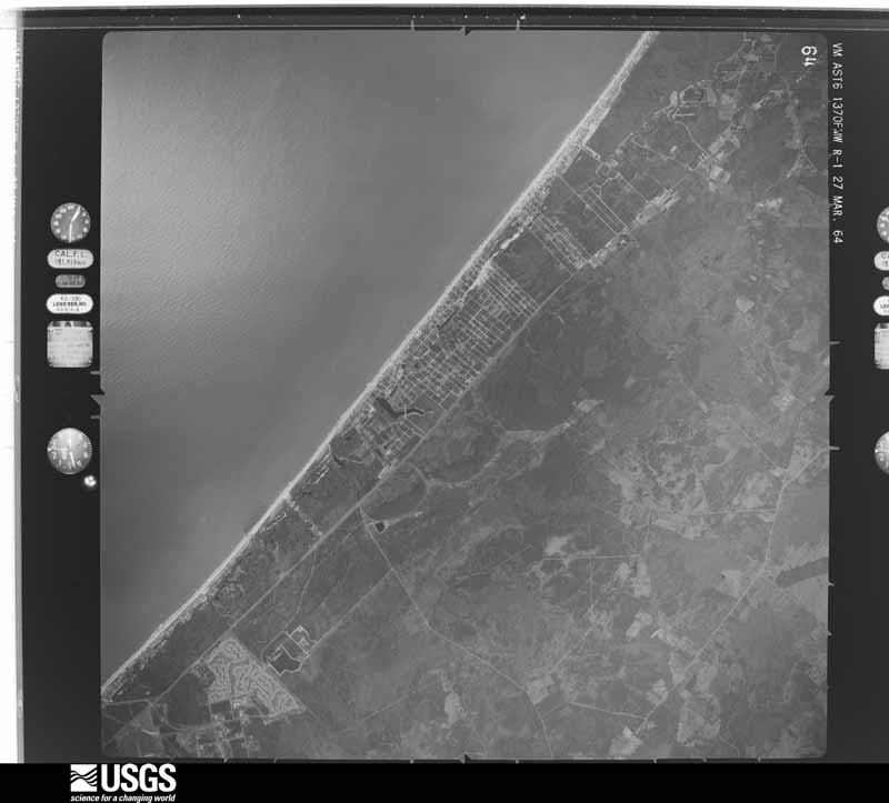
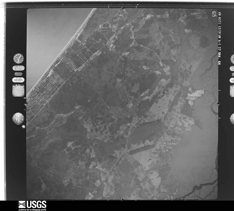
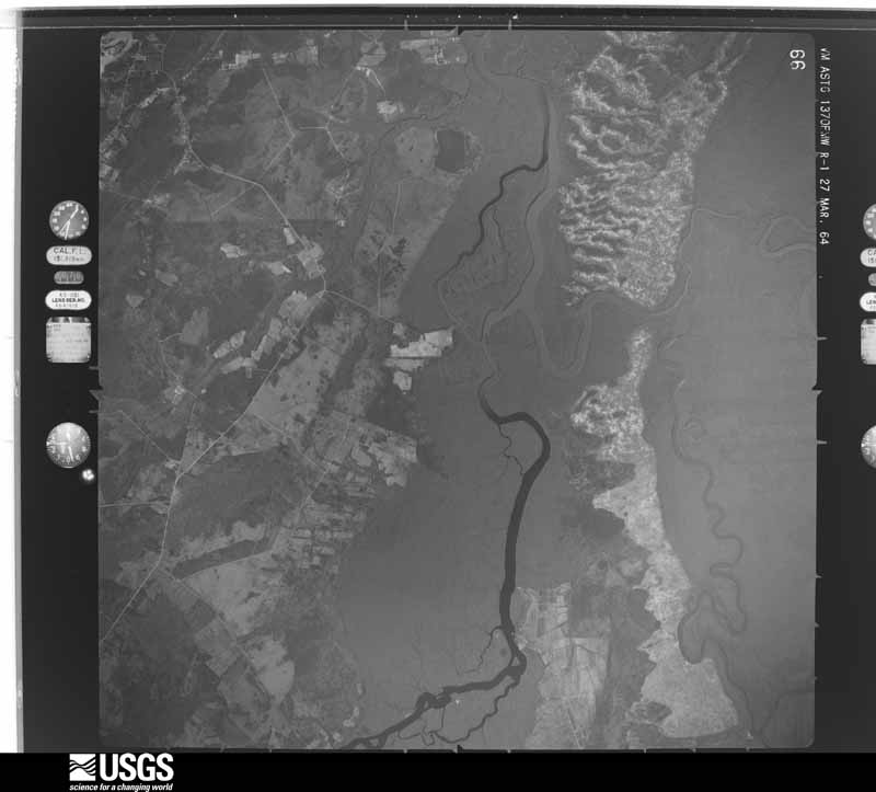
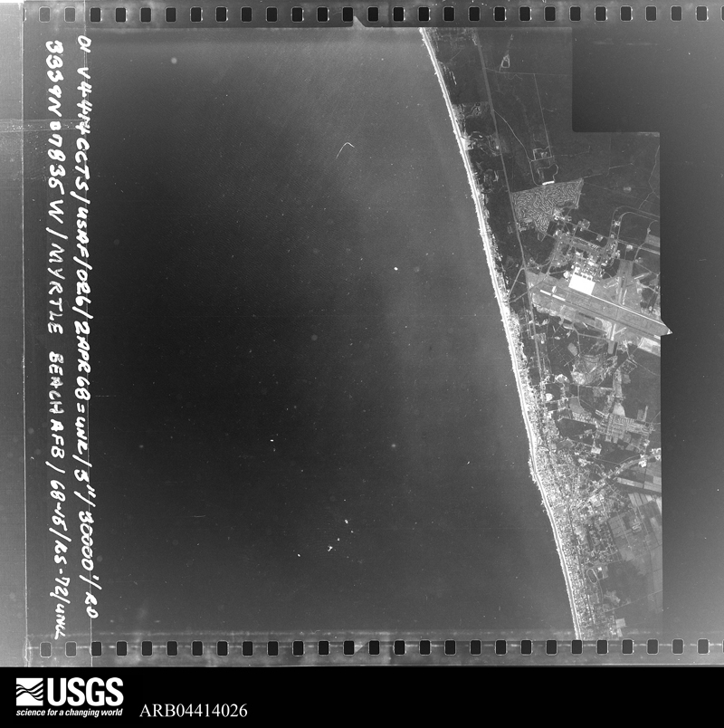
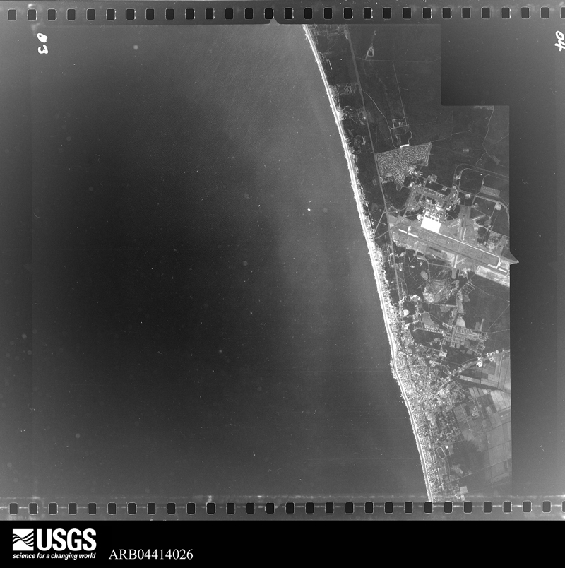
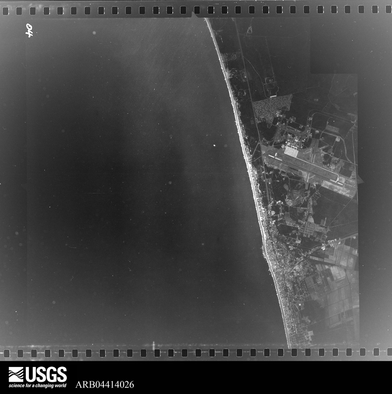
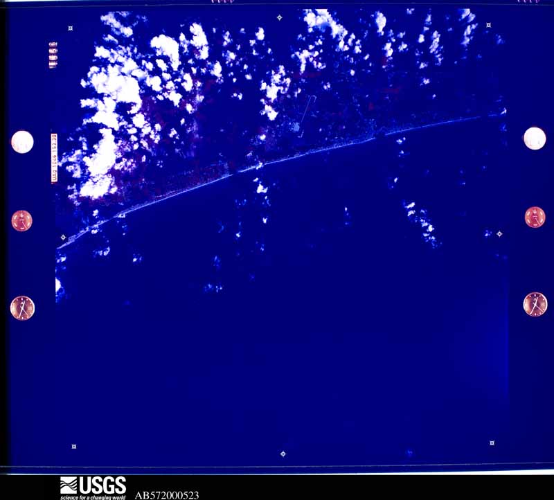
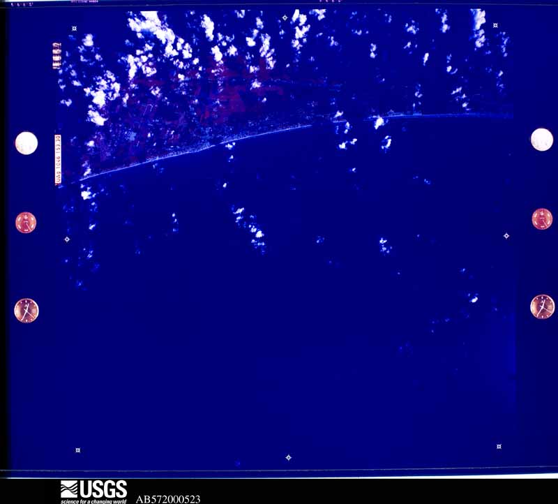
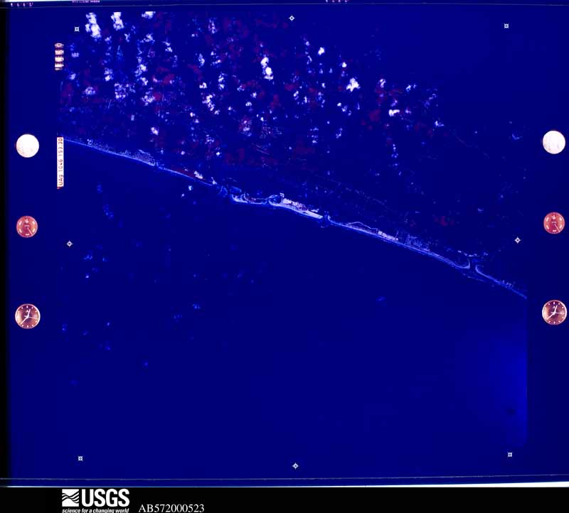
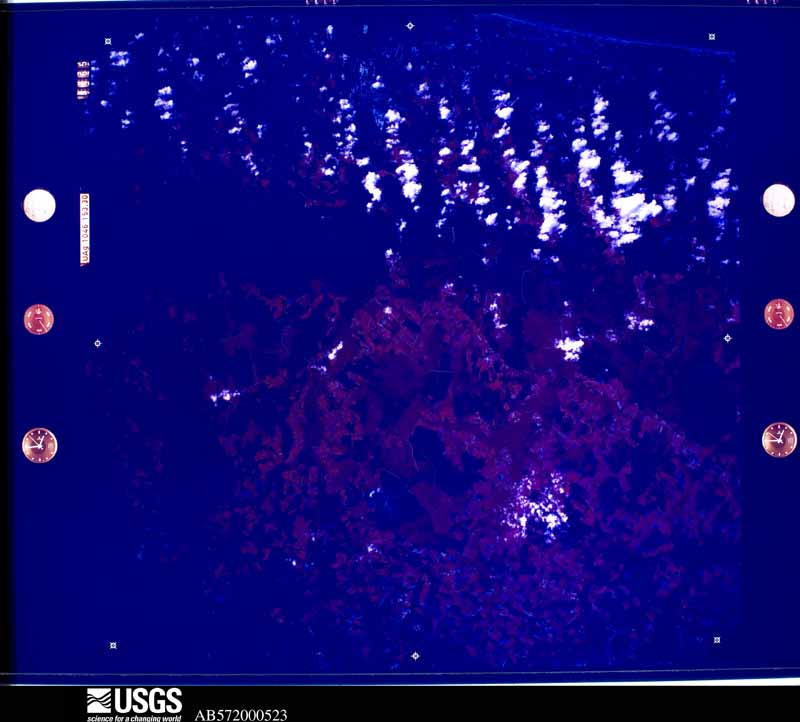
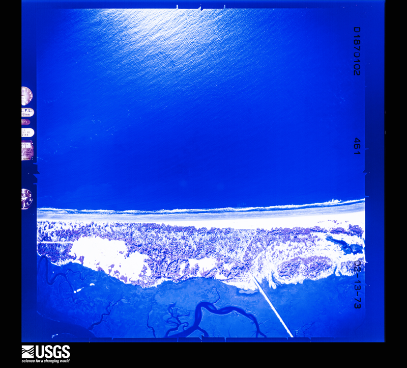
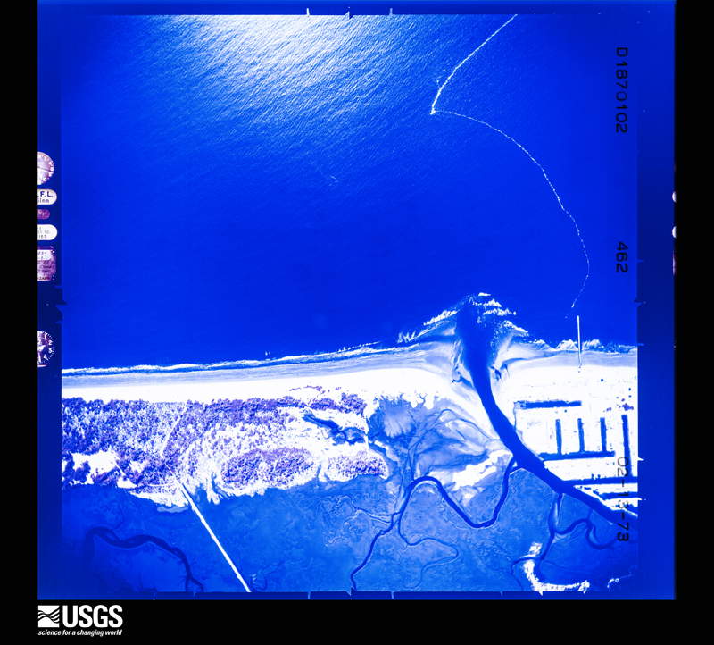
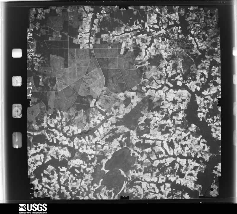
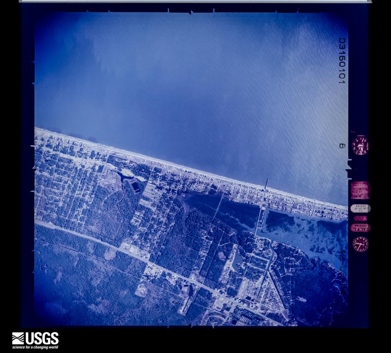
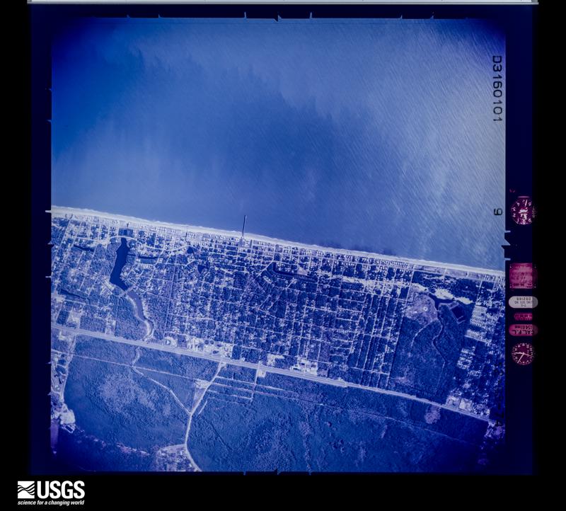
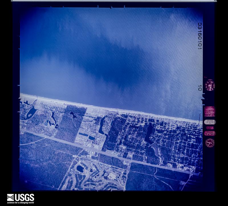
Flown by the U.S. Geological Survey between 1937 and 1989, the Aerial Photo Single Frames collection is the definitive mid-century view of the land: fields, roads and rivers as the camera saw them. The Survey holds 2,625 frames inside the rectangle that bounds this county; the 48 frames below were taken over the county itself, chosen across the decades of flights (at most four a year from that rectangle), so one flight cannot crowd out the rest. The full set is free to browse and download at EarthExplorer under the dataset Aerial Photo Single Frames.



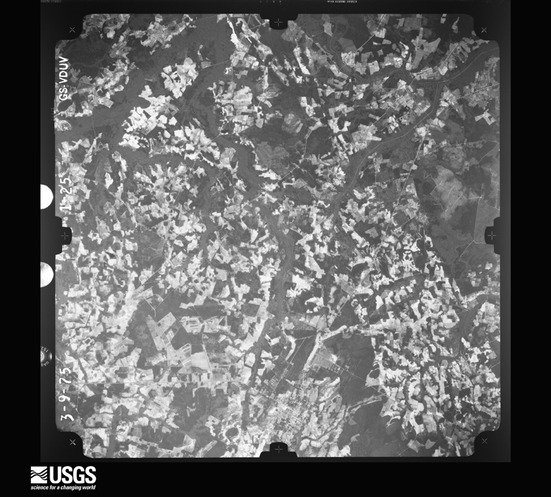
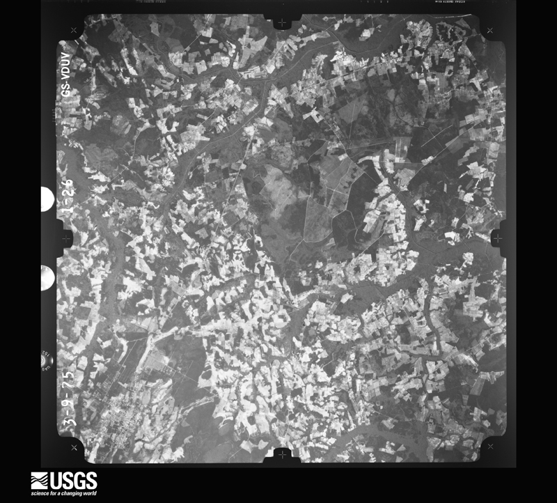
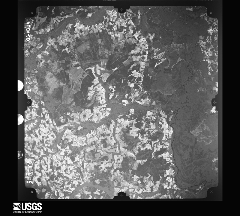
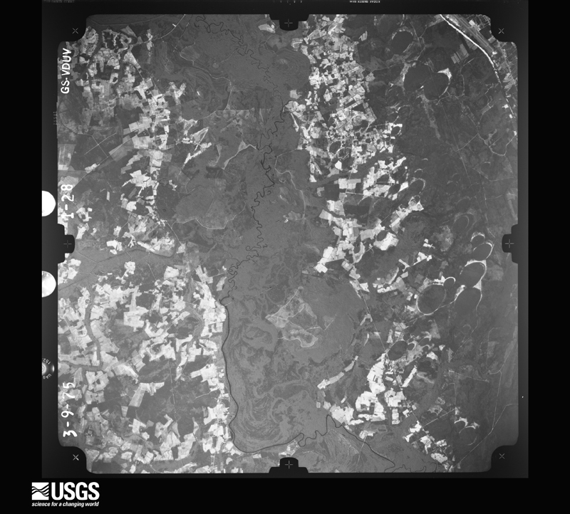
The thermometers that kept this county's weather, and the gages that measured the flow of its streams, as the federal records hold them. The extremes below are measured values from those records, not estimates.
Who lived here in 1950, one enumeration district at a time, as the Census Bureau described each district. Each row opens its official National Archives result, with Population Schedules and ED Maps available there.
Every wildfire the federal occurrence database records inside this county: 3,156 of them, burning about 44,193 acres. 57 started naturally and 841 were recorded as arson. Each settlement page carries the fires within five miles of it.
| Reported cause | Fires |
|---|---|
| Debris and open burning | 1046 |
| Missing data/not specified/undetermined | 937 |
| Arson/incendiarism | 841 |
| Misuse of fire by a minor | 122 |
| Equipment and vehicle use | 97 |
| Natural | 57 |
| Recreation and ceremony | 20 |
| Smoking | 15 |
| Railroad operations and maintenance | 9 |
| Fireworks | 6 |
| Power generation/transmission/distribution | 4 |
| Other causes | 2 |
The five largest, by the area the report gives. Two of them were set deliberately.
| Date | Cause | Size | Reported by | Name on the report |
|---|---|---|---|---|
| 22 April 2009 | Debris and open burning | 19,130 acres | South Carolina Forestry Commission | HIGHWAY 31 FIRE |
| 7 November 2001 | Arson/incendiarism | 1,911 acres | South Carolina Forestry Commission | LONG BAY |
| 15 June 2002 | Debris and open burning | 1,648 acres | South Carolina Forestry Commission | LEGENDS FIRE |
| 3 July 2011 | Fireworks | 1,155 acres | South Carolina Forestry Commission | HORNET FIRE |
| 11 May 1996 | Missing data/not specified/undetermined | 844 acres | South Carolina Forestry Commission | not named |
| 23 April 2007 | Arson/incendiarism | 765 acres | South Carolina Forestry Commission | not named |
| 24 June 1998 | Debris and open burning | 750 acres | South Carolina Forestry Commission | not named |
| 11 August 2002 | Debris and open burning | 317 acres | South Carolina Forestry Commission | not named |
Every settlement page carries the fires within five miles of it - see the settlement index below.
The NOAA Storm Events Database holds 1,024 reports for this county, causing 12 deaths, 136 injuries and about $59,268,830 in recorded property damage. Each settlement page carries the reports that name it.
| Kind of event | Reports |
|---|---|
| Thunderstorm Wind | 401 |
| Hail | 346 |
| Flash Flood | 105 |
| Tornado | 60 |
| Lightning | 46 |
| Flood | 32 |
| Heavy Rain | 16 |
| Funnel Cloud | 7 |
| Waterspout | 6 |
| Rip Current | 3 |
| Storm Surge/Tide | 2 |
The most serious of them, by death, then injury, then recorded damage. The accounts are quoted exactly as the forecast office filed them.
| When | Event | Place named | Harm | What the report says |
|---|---|---|---|---|
| September 2018 | Flash Flood | Camp Swamp | 2 killed, $10,000 | Pond Rd from Camp Swamp Rd to Old Buck Creed Rd closed due to flooding. Two females drowned as they drove into flooded waters. |
| June 2005 | Rip Current | Myrtle Beach | 2 killed | Strong rip currents took the lives of two people at Myrtle Beach State Park. |
| July 2005 | Rip Current | Myrtle Beach | 2 killed | Two people drowned from rip currents at Myrtle Beach. One drowned near 11th Ave. , and the other near 17th Ave. |
| June 2004 | Rip Current | Myrtle Beach | 2 killed | A long shore current evolved into a rip current and was responsible for two deaths. The first occurred around 615 pm near 24th Avenue North, and the other occurred later that evening (8 pm) around 18th Avenue North. |
| August 1998 | Lightning | Nixons Xrds | 1 killed, 1 hurt | Husband and wife struck by lightning near 13th hole at Colonial Charters Golf Course. Woman was revived, but the man died. |
| March 2001 | Flash Flood | Surfside Beach | 1 killed, $50,000 | A low pressure system caused heavy showers and wind gusts 30 to 50 mph that downed a few powerlines...but widespread rainwater flooding along the Grand Strand caused more serious problems. Radar rainfall estimates and local reports indicated 2-4 inches of rain in a couple of hours, and 6 inches to 2 feet of water flooded many roads and intersections. Police reported 30 roads were barricaded. A 7 year old boy drowned when he ventured into a flooded ditch along Sycamore Street near the entrance of Sea Gate Village. |
| September 2018 | Flash Flood | Green Sea | 1 killed, $10,000 | Hwy 646 closed due to flooding. A man's vehicle was swept off the roadway and he drowned. |
| July 1986 | Thunderstorm Wind | not stated | 1 killed | no account filed |
| August 1965 | Tornado (F3) | not stated | 46 hurt, $250,000 | no account filed |
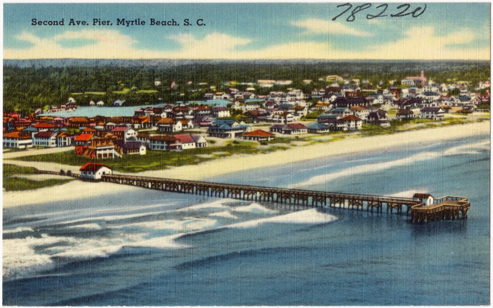
| July 2001 | Tornado (F2) | Myrtle Beach | 39 hurt, $8,000,000 | As a weak cold front moved south into an afternoon sea breeze boundary, slow-moving thunderstorms developed along the Horry county coast. An F0 tornado briefly touched down at 9th Ave N near the Myrtle Beach Pavilion, and soon after a waterspout formed just off the beach near 3rd Ave N. It slightly damaged the 2nd Ave N pier and then moved over the beach as it developed more strongly, causing F2 damage - overturned buses and extensive damage to vehicles and hotels along the beach to about 4nd Ave S. Moving off the beach again, the waterspout continued south about 100 yards from the shore until it came ashore between 28th Ave S and Springmaid Pier...causing a 66 knot gust over water at the Springmaid Pier anemometer. As it moved through the Seagate RV park, it did F1 damage - destroyed 10 RVs and damaged 40 more. Weakening further, the tornado crossed US Hwy Business 17 onto Myrtle Beach International Airport, doing F0 damage to trees and structures. |
| March 1984 | Tornado (F2) | not stated | 8 hurt, $250,000 | no account filed |
| August 2007 | Thunderstorm Wind | Green Sea | 7 hurt, $1,000,000 | A storm survey concluded that the damage examined was the result of straight line winds. A north-south swath of damage was found crossing SC Highway 9 near Duford. Damage was mainly in the form of large snapped trees and peeled off metal roofing from sheds and barns. Damage was also scattered from just north of S.R. 9 from Mount Olive Church Road to Bay View Drive. Considerable damage occurred at Green Sea Floyds High School including minor roof damage, a downed light pole, damage to a tennis court fence, broken windows, several trees down and a well constructed football scoreboard was blown over. An 18 wheel tractor trailer was overturned on SC Highway 9. Winds were estimated between 60 and 90 mph. A small area of more concentrated damage occurred along Mount Olive Church Road between Billy MC Road and Fairview Highway. At this location, a mobile home was completely destroyed and seven occupants in this home suffered minor injuries and were taken to the local hospital. Large trees 3-4 ft diameter were snapped and uprooted. Wind speeds with this damage were estimated between 95 and 109 mph. Two firefighters were injured when their firetruck ran over a downed tree in the road. All of the damage observed was aligned from north-northwest to south-southeast. About 10,000 people lost power. |
| July 2014 | Thunderstorm Wind | Lundy Xrds | 6 hurt, $25,000 | A team from the National Weather Service conducted a survey and determined a microburst with winds up to 75 mph began between Juniper Bay Road and 4 Mile Road. Damage in this area included scattered tree damage. A nearby trailer park along Sleepy Hollow Lane suffered primarily minor damage to a couple of structures. A tree in the mobile park was uprooted and fell onto a mobile home. There were several large trees uprooted in this area. As the microburst moved to the southeast it caused significant damage. A poorly secured metal roof of a mobile home on Singing Pines Drive was completely lifted from the home. Several large hardwoods were uprooted along Singing Pines Drive and nearby Old Railroad Road. Power lines were also reported down. The microburst weakened, but severe winds still uprooted several trees and downed large limbs along Wayside Road, Juniper Bay Road and Dunn Short Cut Road. The ground was very saturated and almost all of the uprooted trees were hardwoods. The maximum path width was 1.8 miles and the path length was 2.35 miles. Six people were sent to the hospital with minor injuries and quickly released. |
| August 1955 | Tornado (F1) | not stated | 5 hurt, $25,000 | no account filed |
| June 2016 | Lightning | Garden City | 4 hurt | Lightning injured four people at the Taqueria las Comadres restaurant. Three of them had to be hospitalized. |
| March 1976 | Tornado (F1) | not stated | 3 hurt, $2,500,000 | no account filed |
| September 1997 | Thunderstorm Wind | Myrtle Beach | 2 hurt, $500,000 | A rain loaded thunderstorm microburst hit the beach berm and hotel area along a 4 block strip (from 26th Ave - 30th Ave). Two people were injured (cuts from flying glass and bruises). |
| March 1999 | Thunderstorm Wind | Myrtle Beach | 2 hurt, $175,000 | Wind from a severe thunderstorm blew out windows at Wyndham Myrtle Beach Resort and overturned 4 trailers in a Briarcliffe RV park, injuring two people. At a car lot, 29 cars had windows blown out. Hail was marble size. Power outages extended from the Briarcliffe area to North Myrtle Beach. |
| May 1995 | Thunderstorm Wind | Socastee | 2 hurt | Trees down. |
| June 1988 | Thunderstorm Wind | not stated | 2 hurt | no account filed |
| October 2020 | Tornado (EF1) | White Oak | 1 hurt, $150,000 | The tornado formed on the west side of Oak St. near an open field|then moved north, crossing Oak St. where it caused significant|damage to a home. The tornado also caused minor damage to an|adjacent home and storage building, but considerable damage to an|old barn. A large tree was snapped near the homes and several|other trees were uprooted in the forest north of the damaged|homes. The tornado likely dissipated prior to crossing Brown|Swamp, or south of Four Mile Rd. |
| November 1967 | Tornado (F3) | not stated | 1 hurt, $25,000 | no account filed |
| December 1967 | Tornado (F2) | not stated | 1 hurt, $25,000 | no account filed |
| April 1997 | Tornado (F1) | Conway | 1 hurt, $20,000 | ONE INFANT HOSPITALIZED TO HAVE SPLINTERS REMOVED, TWO HOUSES SUFFERED DAMAGE FROM FALLEN TREES, NUMEROUS POWER LINES DOWN |
| August 2016 | Lightning | Ocean Drive Beach | 1 hurt | Four men were surf fishing at North Myrtle Beach when lightning struck nearby. One individual was briefly knocked unconscious. |
| July 2012 | Lightning | Myrtle Beach | 1 hurt | A man was in an open garage on 4091 Coyledom Ct in Myrtle Beach. He was on an aluminum ladder and was struck in the hand by lightning. He was treated and released at a local hospital. |
| June 2007 | Lightning | Conway | 1 hurt | An 18 year old male was struck by lightning while inside his house on Jacksonbluff Rd. He was transported to the hospital for observation and was alert and breathing. |
| September 2000 | Lightning | Loris | 1 hurt | Emergency management reported a person was struck by lightning on Highway 9. The extent of the injuries is not known, but the emergency vehicles responded to a code 3 - indicating a life threatening situation. |
| August 1999 | Lightning | Wampee | 1 hurt | A 22 year old man was struck by lightning and spent the night in the hospital before being released. Lightning also damaged a home in Juniper Bay, 7 miles west of Conway. |
| October 2015 | Flood | Savannah Bluff | $10,000,000 | Around 15 inches of rain fell over a few days on the basins to the Waccamaw River at Conway. The river subsequently rose to a major flood, cresting at 16.20 feet, the third highest crest of all time, and the highest crest since Hurricane Floyd. Over 400 homes were inundated, with evacuations necessary. |
| July 2023 | Lightning | Nixonville | $5,000,000 | Lightning caused a house fire on Long Left Pine Drive in Conway, SC. |
| June 1982 | Tornado (F2) | not stated | $2,500,000 | no account filed |
| September 1979 | Tornado (F2) | not stated | $2,500,000 | no account filed |
| July 2000 | Flash Flood | Socastee | $2,000,000 | Strong slow moving thunderstorms inundated Horry county with rain. The flooding was first reported in Socastee, but quickly spread to Forestbrook and Garden City Beach. The heaviest activity occurred in Myrtle Beach, where 11.4 inches of rainfall was recorded from 5 am to 5 pm. Police reported several weather related accidents, with no injuries noted. Many yards were flooded. Many city streets and rural roads were closed due to standing water up to 2 feet deep, with reports of stalled and abandoned automobiles. Several businesses also closed shop due to water in their buildings. The pollution-laden storm water also caused state environment officials to issue a swim warning for the Horry county coast. |
| November 1995 | Tornado (F2) | Conway | $1,500,000 | Estimated five tornado touchdowns ran a track in 10 minutes from near the Conway Raceway northeast along U.S. Highway 378 to Little River area on S.C. Highway 90. Major damage was done to 50 residental and five commercial buildings. Minor damage was done to 85 residental and 20 commercial. Hundreds of large trees were twisted and snapped. |
| May 2005 | Thunderstorm Wind | Conway | $1,200,000 | no account filed |
| July 2023 | Lightning | Hand | $1,000,000 | Lightning caused a structural fire in Longs. |
| July 2023 | Lightning | Pine Is | $1,000,000 | Horry County Fire Rescue was dispatched to a residential structure fire on Ashboro Ct. |
| October 2016 | Flash Flood | White Oak | $1,000,000 | Numerous reports of flooded roads in Conway and throughout Horry County. Many structures were impacted by the flood waters. |
| October 2016 | Flash Flood | Loris Twin City Arpt | $1,000,000 | Numerous roads in Loris and throughout Horry County were barricaded and closed through the night. Many structures were severely impacted by the flooding. The report was relayed by WMBF News. |
| October 2016 | Flash Flood | Conway | $1,000,000 | Numerous roads in Conway and throughout Horry County were barricaded and closed through the night. Many structures were severely impacted by the flooding. The report was relayed by WMBF News. |
| October 2016 | Flash Flood | Myrtle Beach | $1,000,000 | Numerous roads in Myrtle Beach and throughout Horry County were barricaded and closed through the night. Many structures were severely impacted by the flooding. The report was relayed by WMBF News. |
| October 2016 | Flash Flood | Jamestown | $1,000,000 | U.S. 701 and U.S. 501 near Conway were closed due to high water. Numerous adjacent roadways and structures were also impacted by the flood waters. |
| October 2016 | Flash Flood | Nixons Xrds | $1,000,000 | Numerous roadways in and around Little River were flooded. Many structures were severely impacted by the flood waters. |
| October 2016 | Flash Flood | Ocean Forest | $1,000,000 | Numerous roads in the Carolina Forest area were flooded, some up to chest deep. Many homes were severely impacted by the flood waters. |
| February 2017 | Tornado (EF1) | Adrian | $997,000 | A survey conducted by the National Weather Service concluded an EF-1 tornado first touched down near Adrian Highway, just east of Sabrina Lane and caused some minor tree damage. The tornado then moved nearly parallel to Adrian Highway and caused extensive tree damage and damage to numerous farm buildings and sheds. Power lines were also reportedly down in the area. As the tornado continued to move east, just east of Hucks Road, it snapped dozens of trees. Two homes sustained damage in this area, one of which had windows blown out. The tornado crossed Johnson Shelly Road and stayed just north of New Dawn Lane causing dozens of snapped trees. Near the intersection of New Dawn Lane and Highway 19, a small barn was destroyed and a large shed was completely damaged. The tornado continued east and crossed New Home Circle where it nearly toppled a single wide trailer and caused damage to a couple other trailers. The tornado lifted in a field just west of Gause Road after being on the ground for about 10 minutes and just under 5 miles. The tornado had estimated maximum winds of 110 mph. |
| July 2001 | Tornado (F1) | North Myrtle Beach | $800,000 | A F1 tornado crossed US Hwy 17 just south of SC Hwy 22 (Conway Bypass) doing damage to signs and power poles near the Chesapeake House Restaurant. |
| October 2016 | Flash Flood | Bucksport | $750,000 | Boyne Drive, in the Cameron Village Community, was reported flooded. Numerous homes were impacted by the flood waters. |
| September 1994 | Thunderstorm Wind | Myrtle Beach | $500,000 | Myrtle Beach trees and limbs down near Waccamaw Pottery on U.S. 501. Several large signs (24'x 26') blown down, some shingles removed, and a mobile home heavily damaged. Damage estimated $75,000. Five hundred power outages reported in Horry County. |
| October 2005 | Heavy Rain | Myrtle Beach | $500,000 | no account filed |
| June 2009 | Lightning | Burgess | $400,000 | Lightning struck a house in the Blackmoor Golf Course subdivision. The subsequent fire destroyed the home. There were no injuries. |
| June 2009 | Lightning | Garden City | $300,000 | Lightning struck the Garden City Baptist Church early Sunday morning June 28th, setting it on fire. Half the church was burning, along with part of another building, before the fire fighters arrived. It took five hours to extinguish the blaze, and the church was destroyed. A fireman injured his ankle in the event. |
| October 2016 | Flash Flood | Garden City | $250,000 | The intersection of Atlantic Avenue and Dogwood Drive was impassable due to flood waters. Adjacent structures were impacted by the flood waters. |
| October 2016 | Flash Flood | Aynor | $250,000 | The road was reported impassable at 11th Avenue and Oak Street due to flood waters. Adjacent roadways and structures were impacted by the flood waters. |
| October 2015 | Flash Flood | Little River | $250,000 | An earthen dam on Heather Lake, near the state line, was overtopped. Significant flooding was reported in Little River and portions of North Myrtle Beach where up to a foot of rain fell during the afternoon and evening. More than 100 homes were reportedly flooded in Little River and 40 homes in North Myrtle Beach. Numerous people had to be rescued from their homes. In addition, several people were rescued from their vehicles which had become stranded in the rapidly rising water. |
| October 2015 | Flash Flood | Lakewood | $250,000 | Dick Pond Road and adjacent properties were reported flooded. |
| October 1996 | Tornado (F0) | Socastee | $250,000 | no account filed |
| November 1985 | Tornado (F0) | not stated | $250,000 | no account filed |
| June 1985 | Tornado (F2) | not stated | $250,000 | no account filed |
| June 1982 | Tornado (F1) | not stated | $250,000 | no account filed |
The Survey's mineral resources record lists 30 workings inside this county. 13 still produce and 17 are closed or unrecorded. Each settlement page carries the workings within five miles of it.
| Commodity | Workings |
|---|---|
| Sand and Gravel, Construction | 10 |
| Sand | 5 |
| Limestone, General | 3 |
| Stone, Crushed/Broken, Limestone, General | 3 |
| Stone, Crushed/Broken | 2 |
| Clay | 2 |
| Titanium, Iron | 1 |
| Sand and Gravel, Construction, Clay | 1 |
| Silica | 1 |
| Calcium | 1 |
| Limestone, Dimension | 1 |
| Stone | 1 |
The least common of them first, because a county's hundredth gravel pit says nothing its first ten did not.
| Where | Site | Commodity | Status | Recorded |
|---|---|---|---|---|
| Bird Quarry | Stone | Producer | ||
| E.P. Pitts Sand Pit | Silica | Unknown | 1946, 1975 | |
| G and C Quarry | Calcium | Producer | ||
| Myrtle Beach | Titanium, Iron | Unknown | Placer , Modern , Beach | |
| Myrtle Beach Pit | Sand and Gravel, Construction, Clay | Unknown | Sedimentary | |
| Wacca Dee Mine | Limestone, Dimension | Past Producer | ||
| Cedar Creek Quarry | Stone, Crushed/Broken | Producer | ||
| Myrtle Beach Qyarry | Sand and Gravel, Construction, Clay | Past Producer | ||
| Wacca-Dee Materials Company Mine | Stone, Crushed/Broken | Past Producer | ||
| Waccamaw Mine | Clay | Producer | ||
| Alice Mine | Limestone, General | Unknown | Sedimentary | |
| Alice Mine | Limestone, General | Past Producer | ||
| Cannon Pit | Stone, Crushed/Broken, Limestone, General | Producer | Sedimentary | |
| G and C Mine (G&G Mine) | Stone, Crushed/Broken, Limestone, General | Producer | Sedimentary | |
| Unnamed Coguina Pit(Bird Quarry) | Stone, Crushed/Broken, Limestone, General | Past Producer | 1980 | |
| West Mine | Limestone, General | Unknown | Sedimentary | |
| Black Creek Mine | Sand | Unknown | Sedimentary | |
| Black Creek Mine | Sand | Unknown | Sedimentary | |
| Buck Mine | Sand | Producer | Sedimentary | |
| Pit No. 3 Route 90 | Sand | Unknown | Sedimentary | |
| Socastee Pit | Sand | Unknown | Sedimentary | |
| Asphalt Products Pit | Sand and Gravel, Construction | Producer | ||
| Godwin Pit | Sand and Gravel, Construction | Unknown | Sedimentary | |
| Godwin Pit | Sand and Gravel, Construction | Producer | ||
| Little River No. 2 Mine | Sand and Gravel, Construction | Producer | ||
| No. 11 Mine | Sand and Gravel, Construction | Producer | ||
| Pitts Mine | Sand and Gravel, Construction | Plant | ||
| Plant Number 9 | Sand and Gravel, Construction | Producer | ||
| Unnamed Sand Pit | Sand and Gravel, Construction | Past Producer | Sedimentary | |
| Unnamed Sand Pit | Sand and Gravel, Construction | Past Producer | Sedimentary |
Named settlements recorded in the Geographic Names Information System, each with the topographic sheets covering it. Villages, hamlets and abandoned places alike. Each is shown with the nearest named watercourse or landform and the survey quadrangle it falls on. The 2 places that were also surveyed for fire insurance come first, with the number of atlases and photographs held for them.
Conway census division · 29526 · On Kingston Lake · Conway quadrangle
9 sheets, 1943 to 1986
Fire insurance: 4 atlases
Myrtle Beach census division · 29577 · Myrtle Beach quadrangle
14 sheets, 1937 to 1994
Fire insurance: 2 atlases
Myrtle Beach census division · 29572 · On Long Branch · Hand quadrangle
12 sheets, 1937 to 1990
Little River census division · 29582 · On Camp Branch Run · Wampee quadrangle
8 sheets, 1943 to 1990
Conway census division · 29526 · On Horse Creek · Adrian quadrangle
9 sheets, 1943 to 1986
Loris census division · 29544 · On Daniel Hole Branch · Bayboro quadrangle
8 sheets, 1948 to 1983
Myrtle Beach census division · 29577 · On Black Creek · Ocean Forest quadrangle
14 sheets, 1937 to 1990
Little River census division · On Camp Branch Run · Wampee quadrangle
8 sheets, 1943 to 1990
Little River census division · 29572 · On Long Branch · Hand quadrangle
12 sheets, 1937 to 1990
Conway East census division · 29579 · On Socastee Swamp · Myrtle Beach quadrangle
14 sheets, 1937 to 1994
Conway census division · 29527 · On Big Cypress Swamp · Dongola quadrangle
8 sheets, 1943 to 1986
Conway census division · 29527 · On Nimrod Creek · Bucksville quadrangle
9 sheets, 1943 to 1986
Conway census division · 29527 · On Altman Branch · Conway quadrangle
9 sheets, 1943 to 1986
Conway census division · 29527 · On Church Branch · Dongola quadrangle
8 sheets, 1943 to 1986
Conway census division · 29527 · On Church Branch · Dongola quadrangle
8 sheets, 1943 to 1986
No longer a settlement
Myrtle Beach census division · 29572 · On Bear Branch · Ocean Forest quadrangle
14 sheets, 1937 to 1990
Conway census division · 29527 · On Big Cypress Swamp · Dongola quadrangle
8 sheets, 1943 to 1986
Conway census division · 29526 · On Booth Branch · Adrian quadrangle
9 sheets, 1943 to 1986
No longer a settlement
Conway census division · 29527 · On Cedar Grove Branch · Conway quadrangle
9 sheets, 1943 to 1986
Little River census division · 29582 · On Salt Flat Creek · Wampee quadrangle
8 sheets, 1943 to 1990
Conway census division · 29526 · On Crab Tree Swamp · Conway quadrangle
9 sheets, 1943 to 1986
Myrtle Beach census division · 29588 · On Negro Field Swamp · Myrtle Beach quadrangle
14 sheets, 1937 to 1994
Conway census division · 29526 · On Mary Branch · Conway quadrangle
9 sheets, 1943 to 1986
Aynor census division · 29511 · On North Prong Chinners Swamp · Horry quadrangle
8 sheets, 1943 to 1986
Conway East census division · 29588 · On Negro Field Swamp · Bucksville quadrangle
9 sheets, 1943 to 1986
Conway census division · 29526 · On Crab Tree Swamp · Conway quadrangle
9 sheets, 1943 to 1986
Little River census division · 29582 · On Salt Flat Creek · Wampee quadrangle
8 sheets, 1943 to 1990
Conway East census division · 29579 · On Cross Swamp · Myrtle Beach quadrangle
14 sheets, 1937 to 1994
Conway census division · 29526 · On Altman Branch · Conway quadrangle
9 sheets, 1943 to 1986
Myrtle Beach census division · 29575 · Myrtle Beach quadrangle
14 sheets, 1937 to 1994
Myrtle Beach census division · 29575 · Myrtle Beach quadrangle
14 sheets, 1937 to 1994
Aynor census division · 29544 · Near Patsy Island · Brittons Neck quadrangle
8 sheets, 1946 to 1990
Conway East census division · 29568 · On Horse Savannah · Hand quadrangle
12 sheets, 1937 to 1990
No longer a settlement
Conway census division · 29527 · On Sarah Branch · Dongola quadrangle
8 sheets, 1943 to 1986
Floyds Crossroads census division · 29581 · On Poplar Branch · Duford quadrangle
9 sheets, 1949 to 1983
Myrtle Beach census division · 29572 · On Buck Island Swamp · Hand quadrangle
12 sheets, 1937 to 1990
Conway census division · 29527 · On Cowford Swamp · Bucksville quadrangle
9 sheets, 1943 to 1986
No longer a settlement
Conway census division · 29526 · On Fourmile Swamp · Conway quadrangle
9 sheets, 1943 to 1986
Myrtle Beach census division · 29588 · On Enterprise Creek · Bucksville quadrangle
9 sheets, 1943 to 1986
Conway census division · 29526 · On Dam Swamp · Nixonville quadrangle
11 sheets, 1937 to 1990
Loris census division · 29569 · On Seed Tick Branch · Loris quadrangle
9 sheets, 1953 to 1990
Floyds Crossroads census division · 29581 · On Pew Branch · Duford quadrangle
9 sheets, 1949 to 1983
Myrtle Beach census division · 29572 · On Bear Branch · Ocean Forest quadrangle
14 sheets, 1937 to 1990
Conway East census division · 29579 · On Cross Swamp · Myrtle Beach quadrangle
14 sheets, 1937 to 1994
Conway census division · 29527 · On Jenkins Swamp · Dongola quadrangle
8 sheets, 1943 to 1986
Longs census division · 29569 · On Sheepbridge Branch · Goretown quadrangle
9 sheets, 1953 to 1990
Myrtle Beach census division · 29576 · Brookgreen quadrangle
11 sheets, 1943 to 1986
Conway census division · 29527 · On Sheep Pen Branch · Yauhannah quadrangle
10 sheets, 1943 to 1986
Little River census division · 29566 · Wampee quadrangle
8 sheets, 1943 to 1990
Conway East census division · 29526 · On Tilly Swamp · Nixonville quadrangle
11 sheets, 1937 to 1990
Myrtle Beach census division · 29577 · On Black Creek · Ocean Forest quadrangle
14 sheets, 1937 to 1990
Myrtle Beach census division · 29572 · On Long Branch · Hand quadrangle
12 sheets, 1937 to 1990
Loris census division · 29545 · On Iron Springs Swamp · Tabor City West quadrangle
9 sheets, 1953 to 1990
Conway census division · 29527 · On Altman Branch · Conway quadrangle
9 sheets, 1943 to 1986
Loris census division · 29569 · On Bay Gully Branch · Loris quadrangle
9 sheets, 1953 to 1990
Longs census division · 29526 · By Parker Ledge · Hammond quadrangle
11 sheets, 1937 to 1990
Conway East census division · 29568 · On Meetinghouse Branch · Hand quadrangle
12 sheets, 1937 to 1990
Conway census division · 29527 · On Forney Branch · Dongola quadrangle
8 sheets, 1943 to 1986
Little River census division · 29582 · On Salt Flat Creek · Wampee quadrangle
8 sheets, 1943 to 1990
Conway census division · 29526 · On Maple Swamp · Shell quadrangle
11 sheets, 1937 to 1990
Myrtle Beach census division · 29572 · On Bear Branch · Ocean Forest quadrangle
14 sheets, 1937 to 1990
Little River census division · 29582 · On Salt Flat Creek · Wampee quadrangle
8 sheets, 1943 to 1990
Conway census division · 29526 · On Saint Paul Branch · Adrian quadrangle
9 sheets, 1943 to 1986
Conway census division · 29526 · On Hellhole Swamp · Shell quadrangle
11 sheets, 1937 to 1990
Conway census division · 29527 · On Bear Swamp · Conway quadrangle
9 sheets, 1943 to 1986
Loris census division · 29569 · On Sheepbridge Branch · Goretown quadrangle
9 sheets, 1953 to 1990
Conway East census division · 29579 · On Socastee Swamp · Myrtle Beach quadrangle
14 sheets, 1937 to 1994
Loris census division · 29569 · On Savannah Branch · Loris quadrangle
9 sheets, 1953 to 1990
Aynor census division · 29544 · On Schoolhouse Branch · Horry quadrangle
8 sheets, 1943 to 1986
Aynor census division · 29544 · On Ratan Branch · Horry quadrangle
8 sheets, 1943 to 1986
Conway census division · 29511 · On Cross Branch · Adrian quadrangle
9 sheets, 1943 to 1986
No longer a settlement
Conway census division · 29527 · On Knotty Branch · Dongola quadrangle
8 sheets, 1943 to 1986
Floyds Crossroads census division · 29581 · On Reedy Branch · Galivants Ferry quadrangle
9 sheets, 1948 to 1983
Conway census division · 29527 · On Halfway Swamp · Bucksville quadrangle
9 sheets, 1943 to 1986
Little River census division · 29582 · On Salt Flat Creek · Wampee quadrangle
8 sheets, 1943 to 1990
Myrtle Beach census division · 29577 · On Black Creek · Ocean Forest quadrangle
14 sheets, 1937 to 1990
Aynor census division · 29544 · On Big Mill Branch · Bayboro quadrangle
8 sheets, 1948 to 1983
No longer a settlement
Longs census division · 29568 · On Big Cedar Branch · Longs quadrangle
10 sheets, 1944 to 1990
Myrtle Beach census division · 29572 · On Bear Branch · Ocean Forest quadrangle
14 sheets, 1937 to 1990
Myrtle Beach census division · 29575 · Myrtle Beach quadrangle
14 sheets, 1937 to 1994
Conway census division · 29527 · On Willow Springs Branch · Conway quadrangle
9 sheets, 1943 to 1986
Myrtle Beach census division · 29576 · On Bull Creek · Brookgreen quadrangle
11 sheets, 1943 to 1986
Aynor census division · 29527 · On Cooper Branch · Horry quadrangle
8 sheets, 1943 to 1986
Conway census division · 29526 · On Boggy Swamp · Adrian quadrangle
9 sheets, 1943 to 1986
Aynor census division · 29544 · On Long Branch · Galivants Ferry quadrangle
9 sheets, 1948 to 1983
Floyds Crossroads census division · 29581 · On Long Branch · Duford quadrangle
9 sheets, 1949 to 1983
Myrtle Beach census division · 29577 · Ocean Forest quadrangle
14 sheets, 1937 to 1990
Myrtle Beach census division · 29577 · Ocean Forest quadrangle
14 sheets, 1937 to 1990
Conway East census division · 29526 · On Cane Bay · Nixonville quadrangle
11 sheets, 1937 to 1990
Conway census division · 29526 · On Crab Tree Swamp · Conway quadrangle
9 sheets, 1943 to 1986
Myrtle Beach census division · 29572 · On Bear Branch · Hand quadrangle
12 sheets, 1937 to 1990
Floyds Crossroads census division · 29545 · On Crooked Run Branch · Tabor City West quadrangle
9 sheets, 1953 to 1990
No longer a settlement
Conway census division · 29527 · On Beaver Hole Swamp · Dongola quadrangle
8 sheets, 1943 to 1986
Myrtle Beach census division · 29572 · On Bear Branch · Ocean Forest quadrangle
14 sheets, 1937 to 1990
Myrtle Beach census division · 29575 · Surfside Beach quadrangle
14 sheets, 1937 to 1990
Little River census division · 29582 · On Salt Flat Creek · Wampee quadrangle
8 sheets, 1943 to 1990
Aynor census division · 29544 · On Savannah Creek · Centenary quadrangle
8 sheets, 1947 to 1983
No longer a settlement
Conway census division · 29526 · On Altman Branch · Conway quadrangle
9 sheets, 1943 to 1986
Conway East census division · 29588 · On Big Buckskin Creek · Bucksville quadrangle
9 sheets, 1943 to 1986
Conway census division · 29527 · On Church Branch · Dongola quadrangle
8 sheets, 1943 to 1986
Conway East census division · 29579 · On Cross Swamp · Myrtle Beach quadrangle
14 sheets, 1937 to 1994
Myrtle Beach census division · 29577 · On Black Creek · Ocean Forest quadrangle
14 sheets, 1937 to 1990
Conway East census division · 29579 · On Cross Swamp · Myrtle Beach quadrangle
14 sheets, 1937 to 1994
Conway census division · 29526 · On Kingston Lake · Conway quadrangle
9 sheets, 1943 to 1986
Little River census division · 29582 · On Camp Branch Run · Wampee quadrangle
8 sheets, 1943 to 1990
Floyds Crossroads census division · 29581 · On Jet Branch · Nichols quadrangle
8 sheets, 1948 to 1983
Floyds Crossroads census division · 29581 · On Jet Branch · Nichols quadrangle
8 sheets, 1948 to 1983
Floyds Crossroads census division · 29581 · On Jet Branch · Nichols quadrangle
8 sheets, 1948 to 1983
Myrtle Beach census division · 29577 · On Black Creek · Myrtle Beach quadrangle
14 sheets, 1937 to 1994
Loris census division · 29569 · On Zeeks Branch · Bayboro quadrangle
8 sheets, 1948 to 1983
Conway census division · 29511 · On Cross Branch · Adrian quadrangle
9 sheets, 1943 to 1986
No longer a settlement
Conway census division · 29526 · On Booth Branch · Adrian quadrangle
9 sheets, 1943 to 1986
Aynor census division · 29511 · On Rabon Branch · Adrian quadrangle
9 sheets, 1943 to 1986
Conway census division · 29527 · On Cowford Swamp · Bucksville quadrangle
9 sheets, 1943 to 1986
No longer a settlement
Conway census division · 29526 · On Little Baxter Swamp · Adrian quadrangle
9 sheets, 1943 to 1986
Conway census division · 29527 · On Willow Springs Branch · Conway quadrangle
9 sheets, 1943 to 1986
Aynor census division · 29511 · On Rabon Branch · Adrian quadrangle
9 sheets, 1943 to 1986
Longs census division · By Red Bluff · Hammond quadrangle
11 sheets, 1937 to 1990
Aynor census division · 29544 · On Savannah Creek · Brittons Neck quadrangle
8 sheets, 1946 to 1990
Aynor census division · 29544 · On Savannah Creek · Brittons Neck quadrangle
8 sheets, 1946 to 1990
Aynor census division · 29544 · Near Turkey Island · Horry quadrangle
8 sheets, 1943 to 1986
Little River census division · 29582 · On Salt Flat Creek · Wampee quadrangle
8 sheets, 1943 to 1990
Myrtle Beach census division · 29588 · On Negro Field Swamp · Myrtle Beach quadrangle
14 sheets, 1937 to 1994
Conway census division · 29526 · On Saint Paul Branch · Adrian quadrangle
9 sheets, 1943 to 1986
Aynor census division · 29511 · On Broadway Branch · Horry quadrangle
8 sheets, 1943 to 1986
Conway census division · 29527 · On Willow Springs Branch · Conway quadrangle
9 sheets, 1943 to 1986
Myrtle Beach census division · 29577 · Myrtle Beach quadrangle
14 sheets, 1937 to 1994
Conway census division · 29527 · On Jenkins Swamp · Dongola quadrangle
8 sheets, 1943 to 1986
Little River census division · 29572 · On Camp Branch Run · Hand quadrangle
12 sheets, 1937 to 1990
Myrtle Beach census division · 29588 · On Negro Field Swamp · Myrtle Beach quadrangle
14 sheets, 1937 to 1994
Conway census division · 29511 · On Cross Branch · Adrian quadrangle
9 sheets, 1943 to 1986
Myrtle Beach census division · 29577 · Myrtle Beach quadrangle
14 sheets, 1937 to 1994
Myrtle Beach census division · 29588 · On Socastee Swamp · Myrtle Beach quadrangle
14 sheets, 1937 to 1994
Conway East census division · 29568 · By Star Bluff · Hand quadrangle
12 sheets, 1937 to 1990
Myrtle Beach census division · 29575 · Surfside Beach quadrangle
14 sheets, 1937 to 1990
Conway East census division · 29579 · On Cross Swamp · Myrtle Beach quadrangle
14 sheets, 1937 to 1994
Myrtle Beach census division · 29572 · On Buck Island Swamp · Hand quadrangle
12 sheets, 1937 to 1990
Little River census division · 29572 · On Camp Branch Run · Hand quadrangle
12 sheets, 1937 to 1990
Little River census division · 29582 · On Salt Flat Creek · Wampee quadrangle
8 sheets, 1943 to 1990
Myrtle Beach census division · 29577 · On Black Creek · Myrtle Beach quadrangle
14 sheets, 1937 to 1994
Little River census division · 29582 · On Eden Saltworks Creek · Little River quadrangle
10 sheets, 1943 to 1990
Myrtle Beach census division · 29576 · Brookgreen quadrangle
11 sheets, 1943 to 1986
No longer a settlement
Little River census division · 29582 · On Salt Flat Creek · Wampee quadrangle
8 sheets, 1943 to 1990
Little River census division · 29582 · On Camp Branch Run · Wampee quadrangle
8 sheets, 1943 to 1990
Conway census division · 29527 · On Red Hill Branch · Dongola quadrangle
8 sheets, 1943 to 1986
Conway East census division · 29526 · On Steritt Swamp · Conway quadrangle
9 sheets, 1943 to 1986
Myrtle Beach census division · 29572 · On Long Branch · Hand quadrangle
12 sheets, 1937 to 1990
Conway census division · 29526 · On Beaverdam Swamp · Nixonville quadrangle
11 sheets, 1937 to 1990
Little River census division · 29568 · By Star Bluff · Wampee quadrangle
8 sheets, 1943 to 1990
Floyds Crossroads census division · 29581 · Duford quadrangle
9 sheets, 1949 to 1983
No longer a settlement
Myrtle Beach census division · 29577 · Ocean Forest quadrangle
14 sheets, 1937 to 1990
Myrtle Beach census division · 29588 · On Socastee Swamp · Myrtle Beach quadrangle
14 sheets, 1937 to 1994
Conway East census division · 29579 · On Cross Swamp · Myrtle Beach quadrangle
14 sheets, 1937 to 1994
Conway census division · 29526 · On Mary Branch · Conway quadrangle
9 sheets, 1943 to 1986
Conway census division · 29527 · On Bear Swamp · Conway quadrangle
9 sheets, 1943 to 1986
Conway census division · 29526 · On Steritt Swamp · Conway quadrangle
9 sheets, 1943 to 1986
Myrtle Beach census division · 29576 · Brookgreen quadrangle
11 sheets, 1943 to 1986
Myrtle Beach census division · 29577 · Myrtle Beach quadrangle
14 sheets, 1937 to 1994
Myrtle Beach census division · 29577 · Myrtle Beach quadrangle
14 sheets, 1937 to 1994
Little River census division · 29566 · On Bellamy Branch · Longs quadrangle
10 sheets, 1944 to 1990
Myrtle Beach census division · 29577 · Myrtle Beach quadrangle
14 sheets, 1937 to 1994
The vanished settlements of Horry County: the places named above that are no longer on the map.
9 topographic sheets and 4 fire insurance atlases, 1920 to 1949