 Block
Oakway, South Carolina
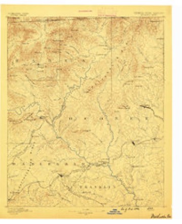
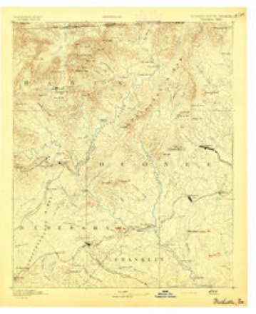
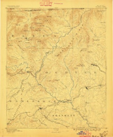
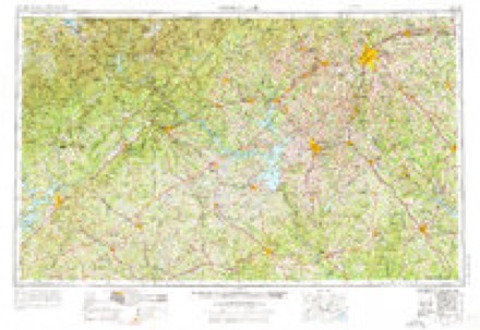
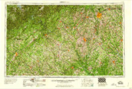
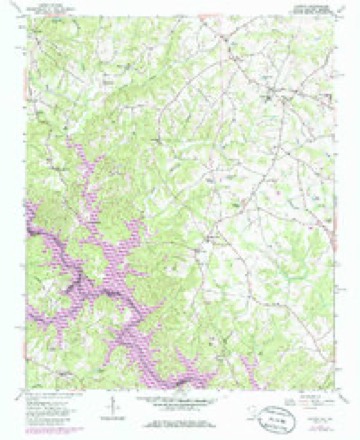
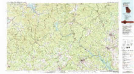
18 topographic sheets cover this place, the earliest surveyed in 1886 and the latest in 1981. It stands in the Oakway census division. It lies in ZIP code area 29693. The Survey maps it on the Oakway quadrangle.
Topographic sheets covering this place
7 surveys from 18 printed sheetsMatched by testing this settlement's coordinate against the published boundary of every sheet in the United States Geological Survey's historical collection. Each opens the scanned sheet at the Survey.
- 1886 USGS Walhalla quadrangle1:125000
- 1892 USGS Walhalla quadrangle1:125000, 7 printings
- 1896 USGS Walhalla quadrangle1:125000
- 1954 USGS Greenville quadrangle1:250000, 3 printings
- 1958 USGS Greenville quadrangle1:250000
- 1963 USGS Oakway quadrangle1:24000, 3 printings
- 1981 USGS Toccoa quadrangle1:100000, 2 printings
Fires near this place
151 since 1992Regional context, not property-specific evidence. The federal wildfire occurrence database lists 151 fires within 5 miles of Oakway between 1992 and 2020, burning about 361 acres in total. 3 started naturally. 12 were recorded as arson. Distance is straight-line from the map coordinates, so a fire counted here may appear on a neighbouring settlement's page as well.
| Reported cause | Fires |
|---|---|
| Debris and open burning | 61 |
| Missing data/not specified/undetermined | 43 |
| Arson/incendiarism | 12 |
| Equipment and vehicle use | 11 |
| Smoking | 9 |
| Misuse of fire by a minor | 6 |
| Natural | 3 |
| Fireworks | 2 |
| Recreation and ceremony | 2 |
| Other causes | 1 |
| Railroad operations and maintenance | 1 |
The most recent of them, most recent first, with the day each was reported and the service that recorded it.
| Date | Cause | Size | Reported by | Name on the report |
|---|---|---|---|---|
| 5 September 2003 | Smoking | 1.0 acres | South Carolina Forestry Commission | not named |
| 5 September 1998 | Debris and open burning | 1.0 acres | South Carolina Forestry Commission | not named |
| 17 September 2009 | Smoking | under an acre | South Carolina Forestry Commission | not named |
| 14 September 1998 | Missing data/not specified/undetermined | under an acre | South Carolina Forestry Commission | not named |
| 9 August 2006 | Missing data/not specified/undetermined | under an acre | South Carolina Forestry Commission | not named |
| 9 August 2002 | Misuse of fire by a minor | under an acre | South Carolina Forestry Commission | not named |
| 8 August 2002 | Equipment and vehicle use | 4.0 acres | South Carolina Forestry Commission | not named |
| 7 August 2002 | Debris and open burning | 2.0 acres | South Carolina Forestry Commission | not named |
Settlements close enough to share some of these fires:
Mines and quarries near this place
5 within 5 milesRegional context, not property-specific evidence. The federal mineral resources record lists 5 workings within 5 miles of Oakway: 2 unknowns, 1 past producer, 1 occurrence, 1 prospect. None of them still produces. What was taken out: Sand and Gravel, Construction, Gold, Mica. Distance is straight-line from the map coordinates, so a quarry counted here may appear on a neighbouring settlement's page as well.
| Where | Site | Commodity | Status | Recorded |
|---|---|---|---|---|
| Parker Deposit | Mica | Occurrence | ||
| Richland Sand Pit | Sand and Gravel, Construction | Unknown | Sedimentary | |
| Richland Sand Pit | Sand and Gravel, Construction | Past Producer | ||
| Sitton Prospect | Gold | Unknown | Vein | |
| Sitton Prospect | Gold | Prospect |
Storms near this place
24 since 1994Regional context, not property-specific evidence. The National Weather Service names Oakway in 24 storm reports between 1994 and 2022: 11 hail, 9 thunderstorm wind, 2 tornado, 1 flash flood. The reports record 1 death and 5 injuries. Each account below is quoted exactly as the forecast office filed it, from the NOAA Storm Events Database, and each date opens the federal record of that event.
| When | Event | Place named | Harm | What the report says |
|---|---|---|---|---|
| April 2020 | Tornado (EF3) | Oakway | 1 killed, 5 hurt, $100,000,000 | NWS Storm Survey found the path of a strong EF3 tornado that began across southern Oconee County, just south of Westminster along Retreat Rd and W Oak Highway. As the tornado moved northeast, damage was largely confined to uprooted and snapped trees as it crossed Highway 11, Brown Farm Rd, and the Coneross Creek drainage before moving into the southwest side of Seneca. The tornado intensified rapidly after crossing S Radio Station Rd. A house on Return Church Rd experienced complete structural collapse, which combined with surrounding vegetation damage of numerous trees snapped and/or debarked was suggestive of strong EF3 damage, or 160 mph peak wind gusts. The tornado maintained EF3 intensity as it continued northeast, destroying a significant portion of a manufacturing facility Between Return Church Rd and Wells Highway. A 77-year-old male employee was killed inside the facility. Four other employees received mostly minor injuries. At least strong EF2 damage continued as the tornado approached the center of Seneca, with numerous homes receiving minor to severe damage, including EF3 damage to at least one house on Ploma Dr. The tornado rapidly weakened as it continued northeast into the east side of Seneca, but continued to snap and uproot numerous trees as it crossed Shiloh Rd and Clemson Blvd. The tornado moved over Lake Keowee a couple of miles north of Clemson Blvd, crossing into Pickens County. This was the first EF3 or stronger tornado in upstate South Carolina since 1994. It was also the first known EF3 or stronger tornado to impact the western Carolinas during the overnight hours. |
| June 1994 | Thunderstorm Wind | Oakway | $50,000 | no account filed |
| May 1998 | Tornado (F0) | Oakway | $5,000 | A weak tornado briefly touched down in the town of Oakway downing trees and blowing roofs off outbuildings. The tornado was seen by several citizens and weather spotters. |
| July 2003 | Thunderstorm Wind | Oakway | $1,000 | Trees and power lines were blown down. |
| June 2022 | Thunderstorm Wind | Oakway | - | County comms reported multiple trees blown down and blocking roads southwest of Seneca, including on Return Church Rd and Fire Tower Rd. |
| April 2018 | Hail | Oakway | - | Multiple Social Media reports of pea to nickel size hail were received from the Oakway area to locations south of Seneca. |
| July 2018 | Hail | Oakway | - | Public reported mostly dime to nickel size hail with a few quarter size stones in the Oakway area. |
| May 2018 | Thunderstorm Wind | Oakway | - | County comms reported trees blown down on Blackjack Rd, South Union Rd, and at Shelor Ferry Rd and North Port Bass Rd. |
| July 2013 | Flash Flood | Oakway | - | A low spot along Highway 24 near the intersection with Highway 11 reportedly had water moving swiftly across it, making it difficult for traffic to pass. |
| July 2013 | Heavy Rain | Oakway | - | Runoff from heavy rain caused deep ponding of water on Barrett Way near Choestoa Creek. |
| July 2011 | Thunderstorm Wind | Oakway | - | Trees were blown down on Blackjack Rd. |
| January 2010 | Thunderstorm Wind | Oakway | - | Numerous trees were blown down between Westminster and Fair Play. |
| June 2010 | Thunderstorm Wind | Oakway | - | Numerous reports of downed trees were received from the Georgia border to Ricks|Rd to the I-85/highway 11 intersection. A boat dock on Lake Hartwell was overturned in this area. |
| July 2005 | Thunderstorm Wind | Oakway | - | Numerous trees and power lines down between Oakway and Fair Play. Also, numerous trees down in the Chickasaw Point community along Lake Hartwell. |
| April 2002 | Hail | Oakway | - | Reported in South Union. |
| April 2012 | Hail | Oakway | - | no account filed |
| April 2012 | Hail | Oakway | - | no account filed |
| June 2010 | Hail | Oakway | - | no account filed |
| May 2006 | Hail | Oakway | - | no account filed |
| July 2006 | Hail | Oakway | - | no account filed |
| July 2005 | Hail | Oakway | - | no account filed |
| May 2003 | Hail | Oakway | - | no account filed |
| August 1999 | Hail | Oakway | - | no account filed |
| August 1999 | Thunderstorm Wind | Oakway | - | no account filed |
Nearest settlements
The eight closest, with where each one stands in the county. Distances are straight-line, computed from the Geographic Names Information System coordinates.
| Map | Place | Distance | Sheets |
|---|---|---|---|
| Hicks Store | 2.3 miles | 17 | |
| Retreat | 2.5 miles | 17 | |
| Cross Roads | 2.6 miles | 17 | |
| Earles Grove | 3.0 miles | 17 | |
| Return | 3.1 miles | 16 | |
| South Union | 3.7 miles | 18 | |
| The Woods | 4.1 miles | 16 | |
| Brock | 4.5 miles | 17 |
Provenance
This settlement is recorded in the Geographic Names Information System as feature 1249934. The sheet list is computed by point-in-boundary test against the United States Geological Survey's historical topographic inventory. Both are works of the United States government and carry no copyright under 17 U.S.C. 105.
Wildfire. Short, Karen C. 2022. Spatial wildfire occurrence data for the United States, 1992-2020 [FPA_FOD_20221014]. 6th Edition. Fort Collins, CO: Forest Service Research Data Archive. https://doi.org/10.2737/RDS-2013-0009.6 Collected with United States Government funding and usable without additional permissions or fees.
Mines and quarries. USGS Mineral Resources Data System (MRDS) https://mrdata.usgs.gov/mrds/ A work of the United States government, no copyright under 17 U.S.C. 105.
Storms. NOAA National Centers for Environmental Information, Storm Events Database https://www.ncei.noaa.gov/stormevents/ A work of the United States government, no copyright under 17 U.S.C. 105. Narratives are quoted verbatim from the National Weather Service report and are not edited or summarised.