Block
From the record
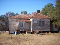
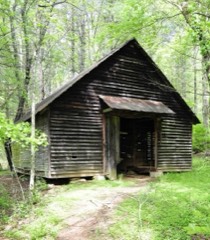
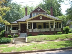
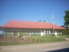
24 National Register listings published here.
Sources: the National Register database, National Park Service
87 topographic sheets and 23 fire insurance atlases across 4 places.
24 National Register listings published here.
Sources: the National Register database, National Park Service
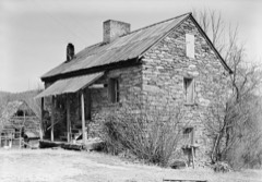
Taken for the Office of War Information and the Farm Security Administration, who photographed the country between 1935 and 1944. Works of United States government photographers, with no known restriction on use. Each opens its catalogue record.
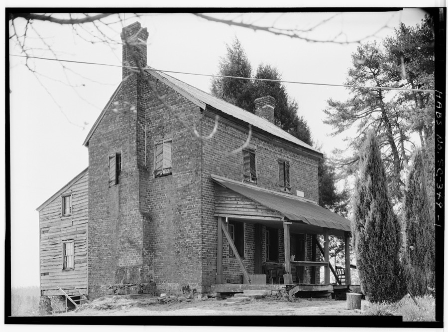
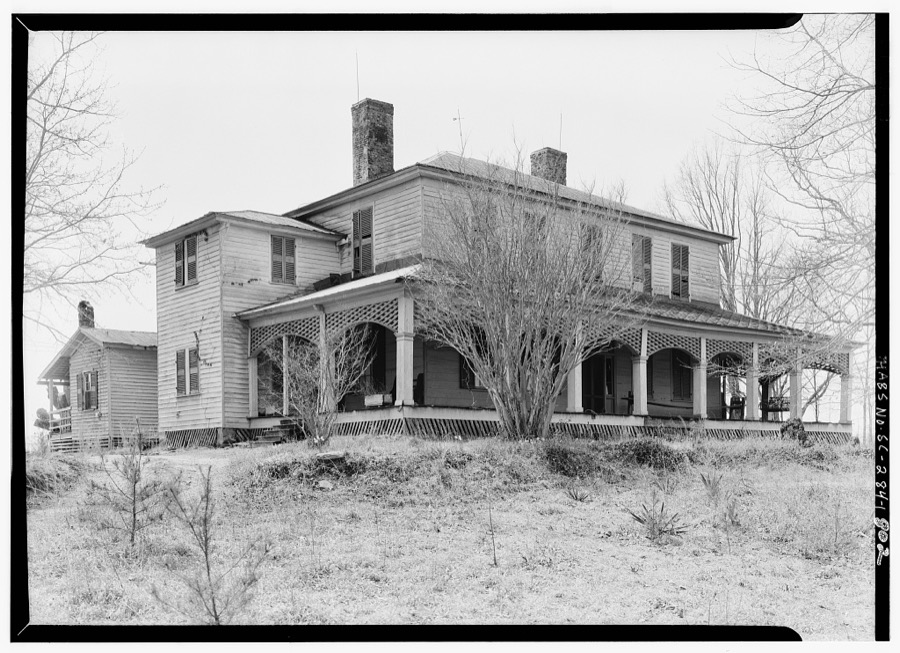
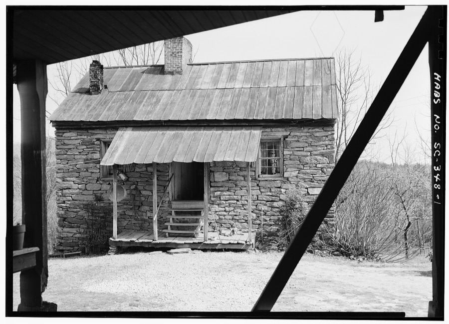
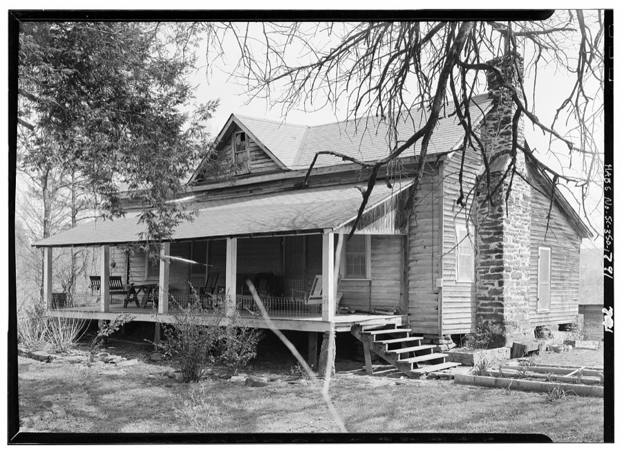
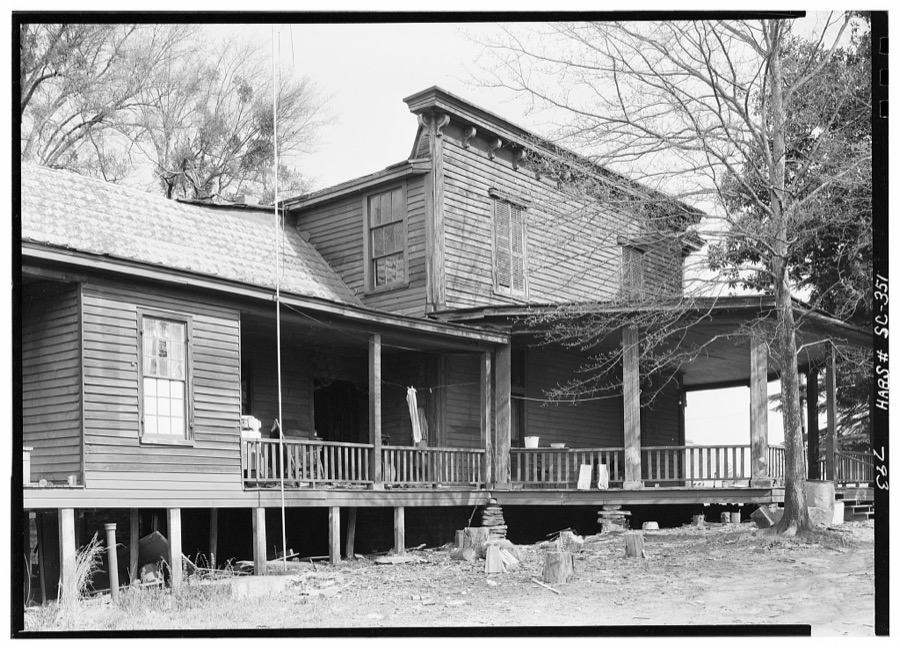
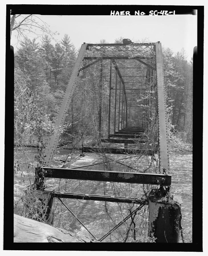
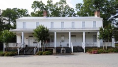
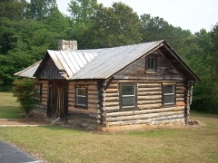
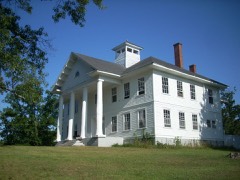
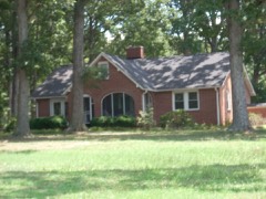
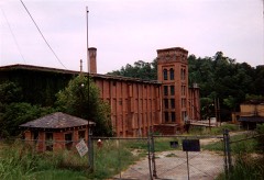
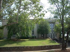
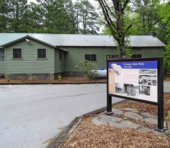
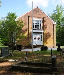
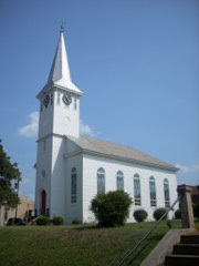
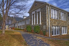
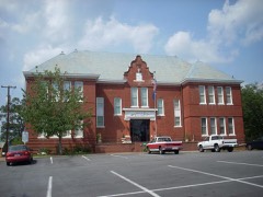
Every property in this county listed on the National Register of Historic Places, with the year it was listed and the federal nomination document.
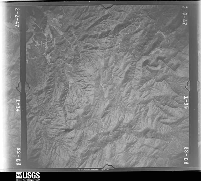
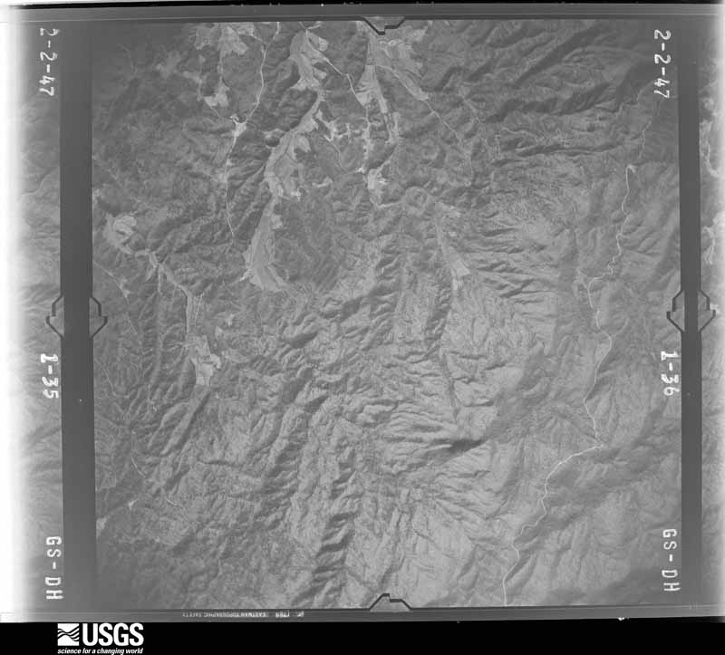
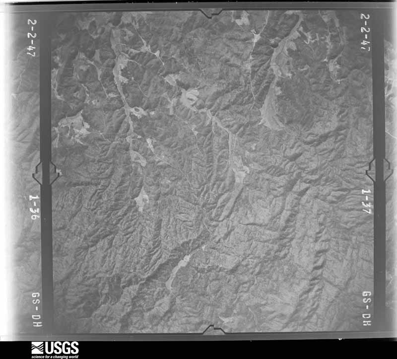
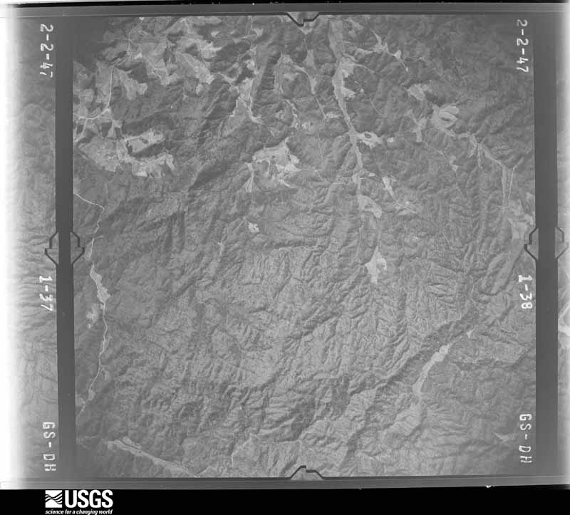
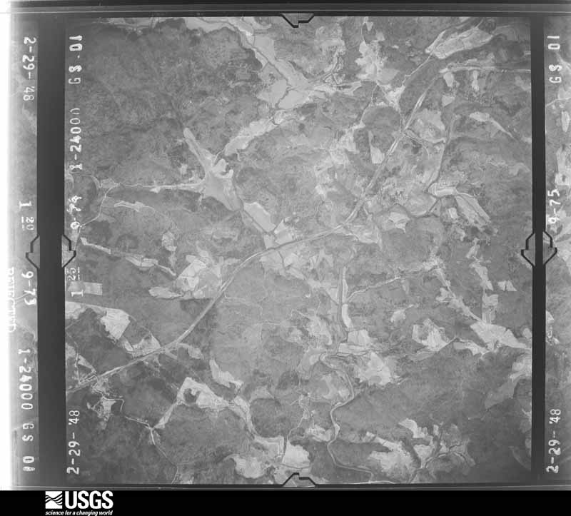
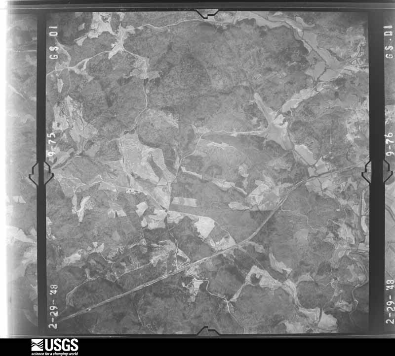
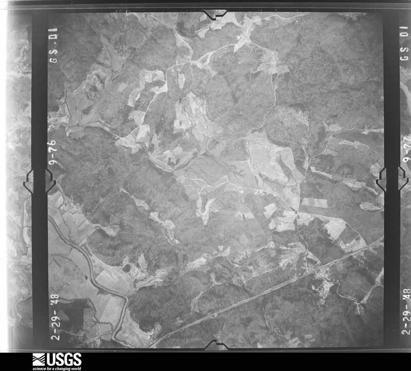
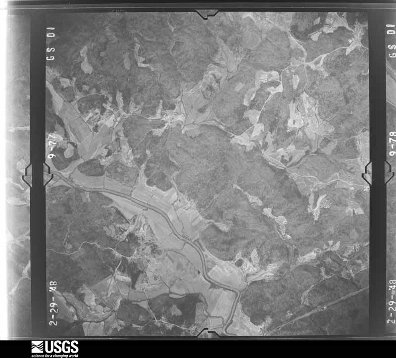
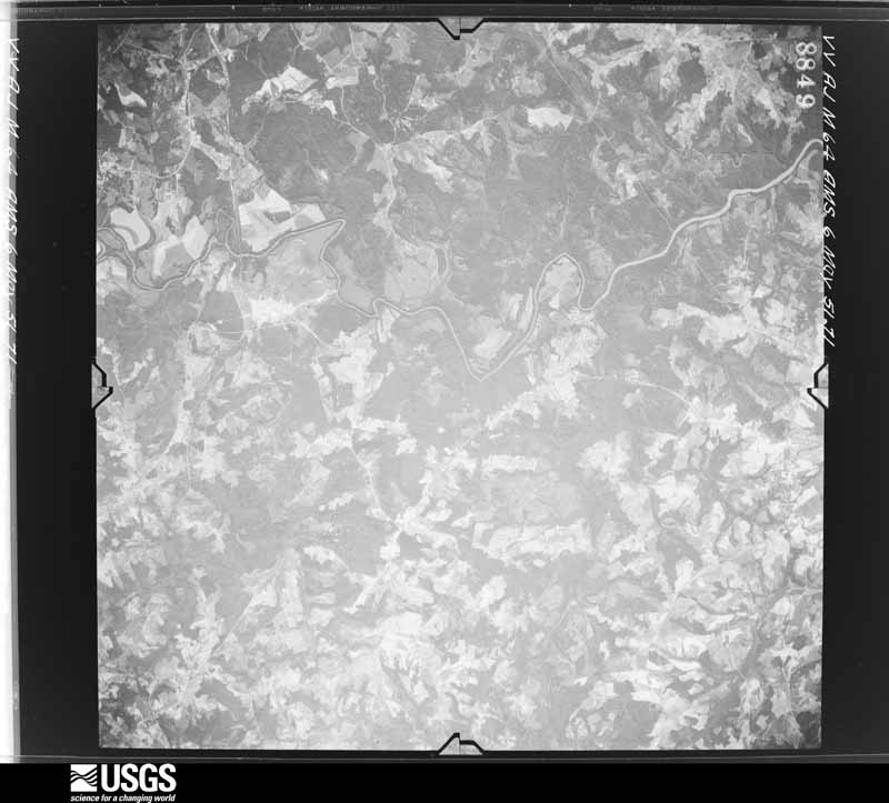
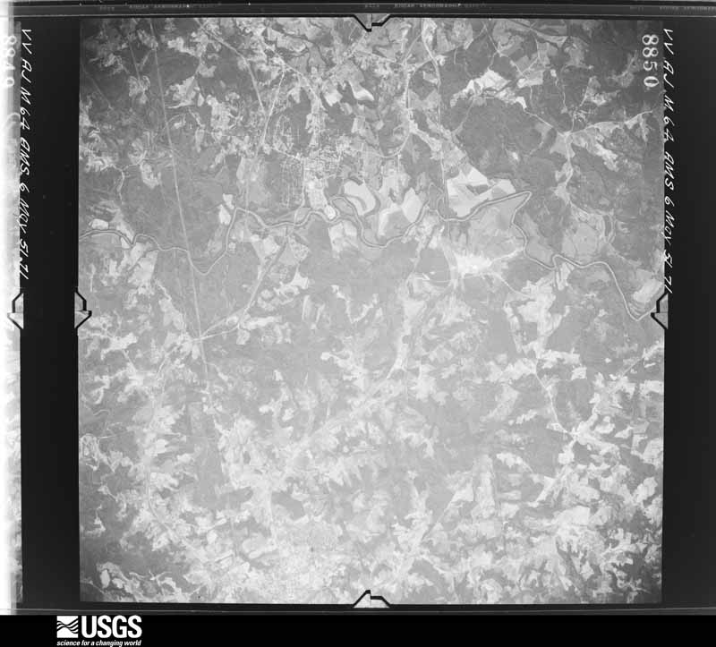
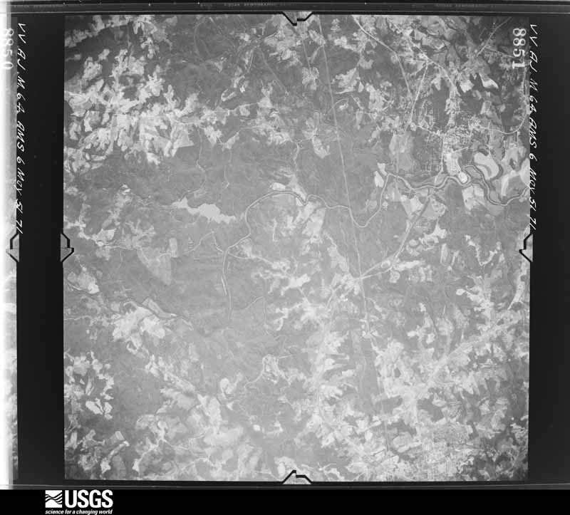
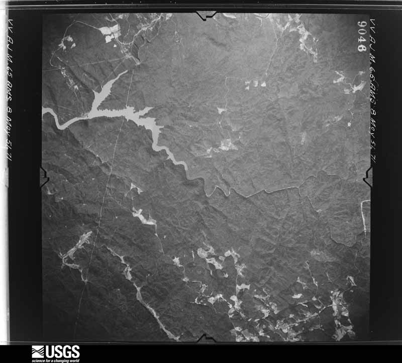
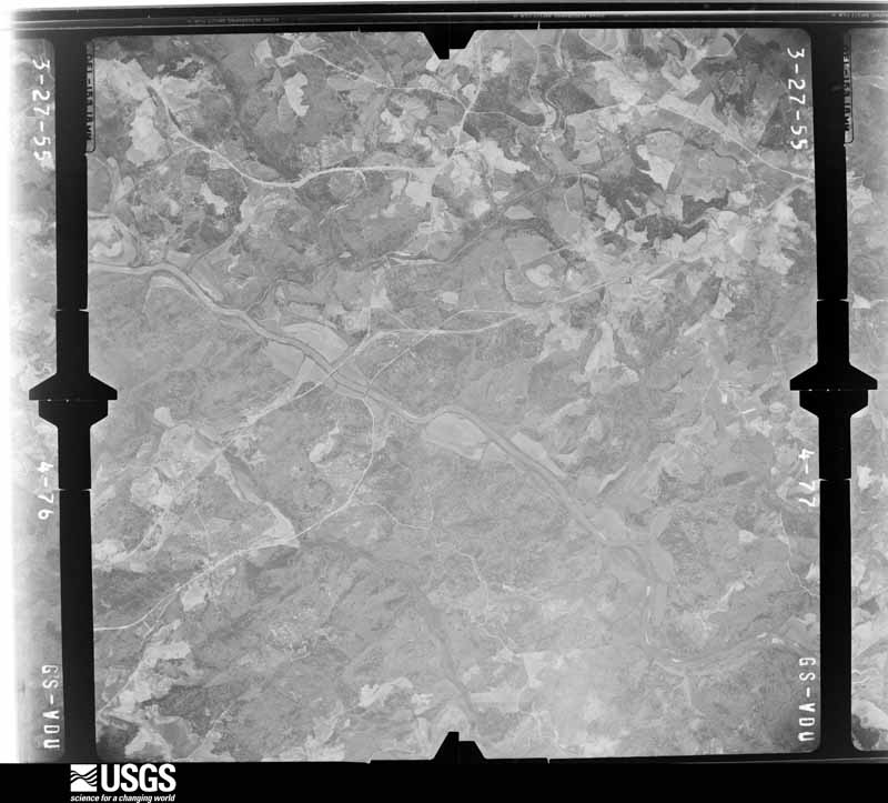
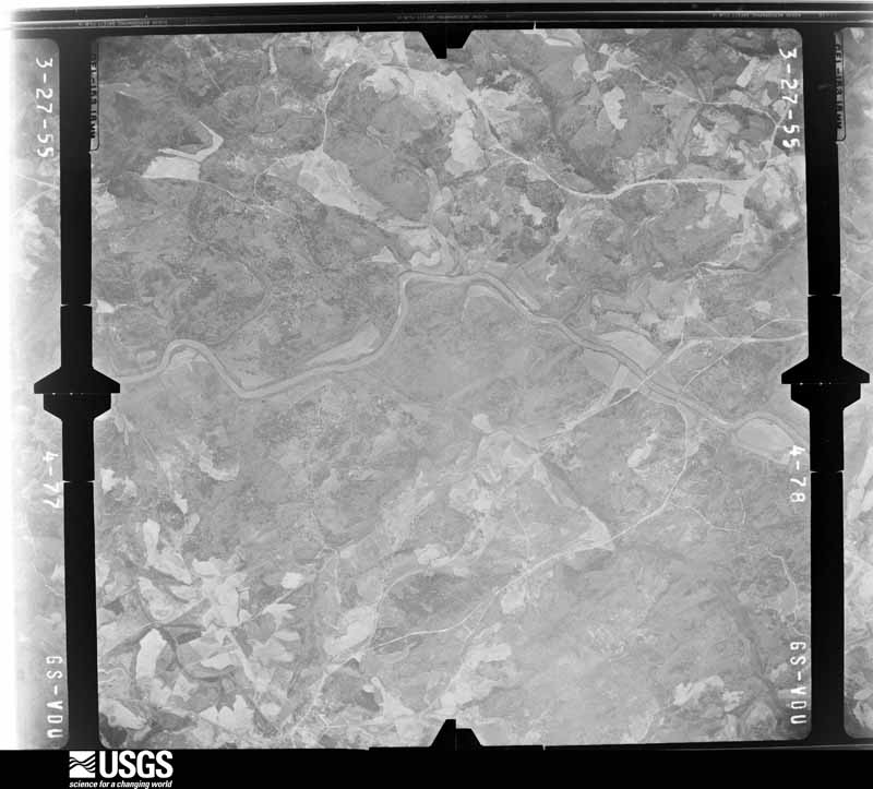
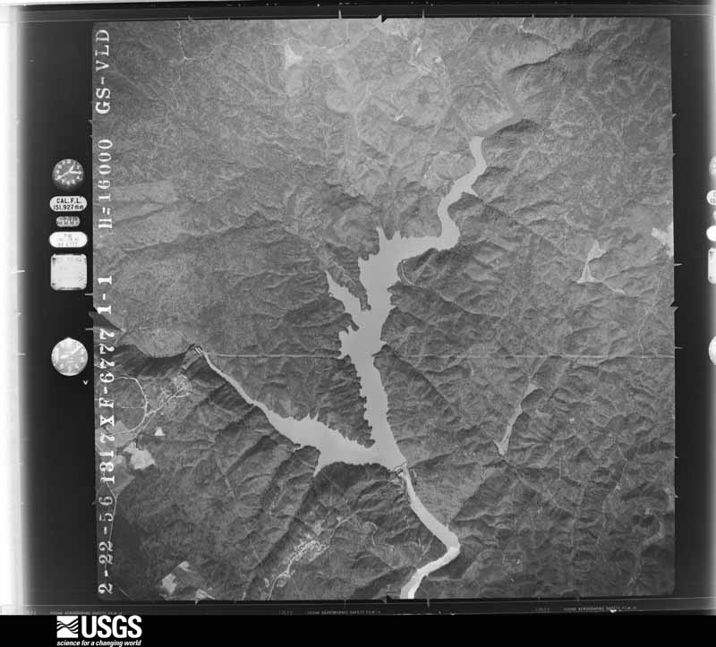
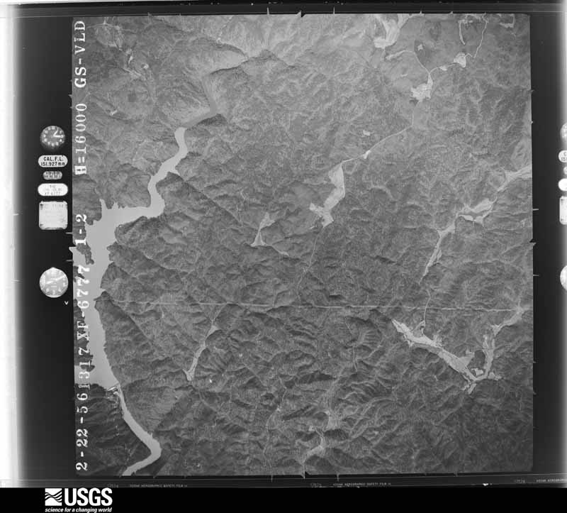
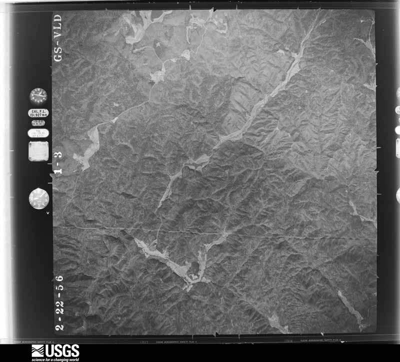
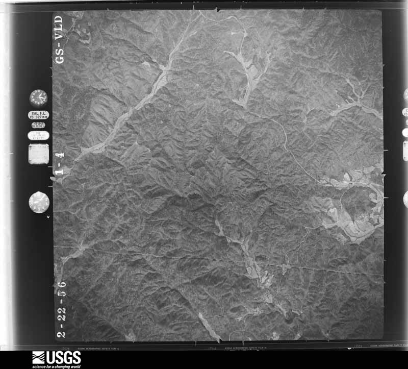
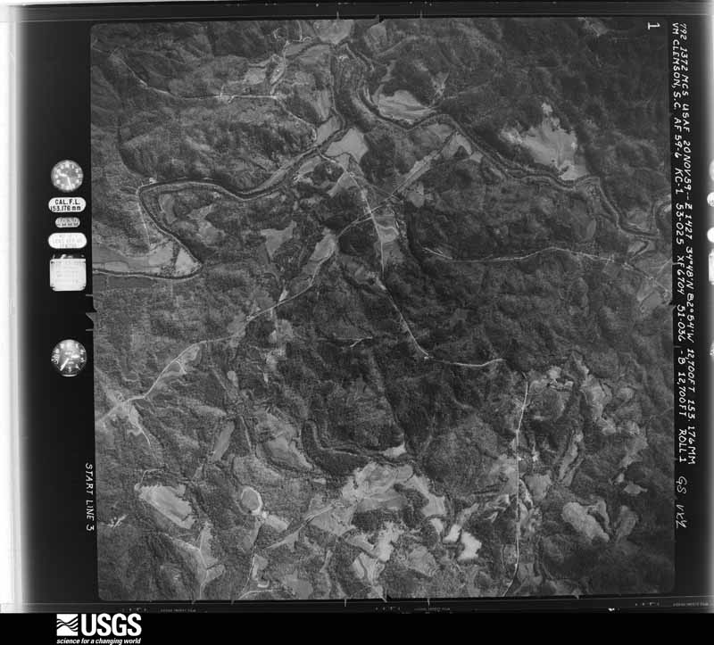
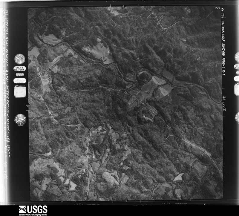
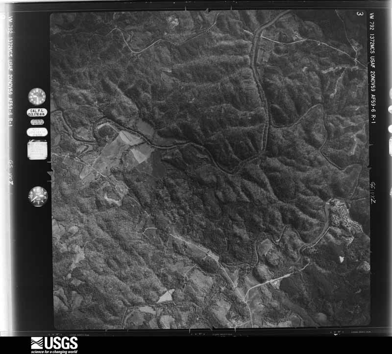
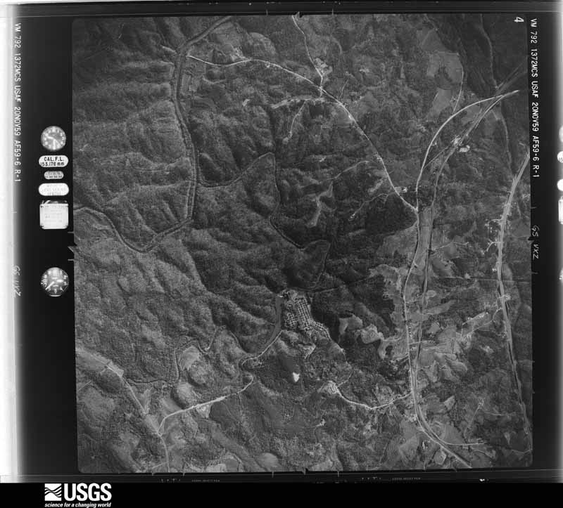
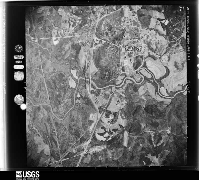
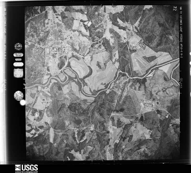
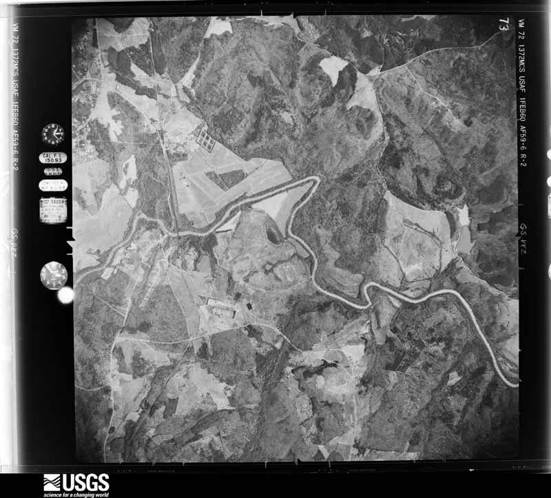
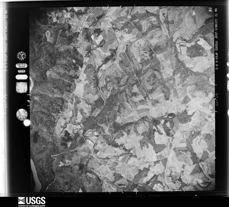
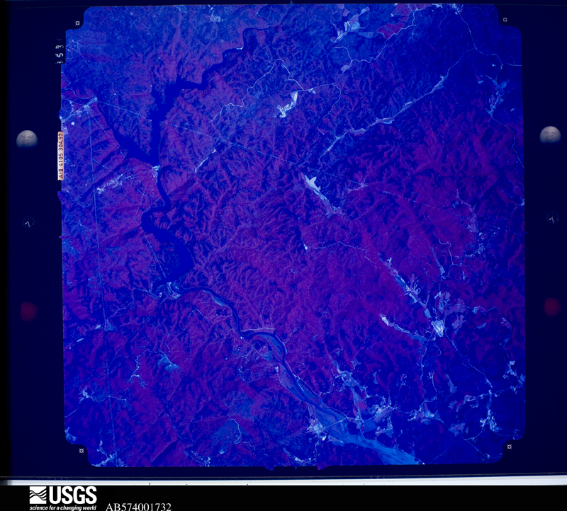
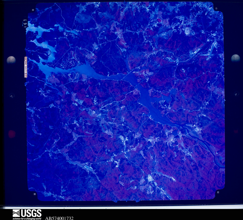
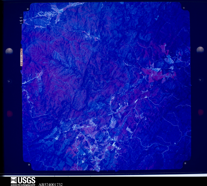
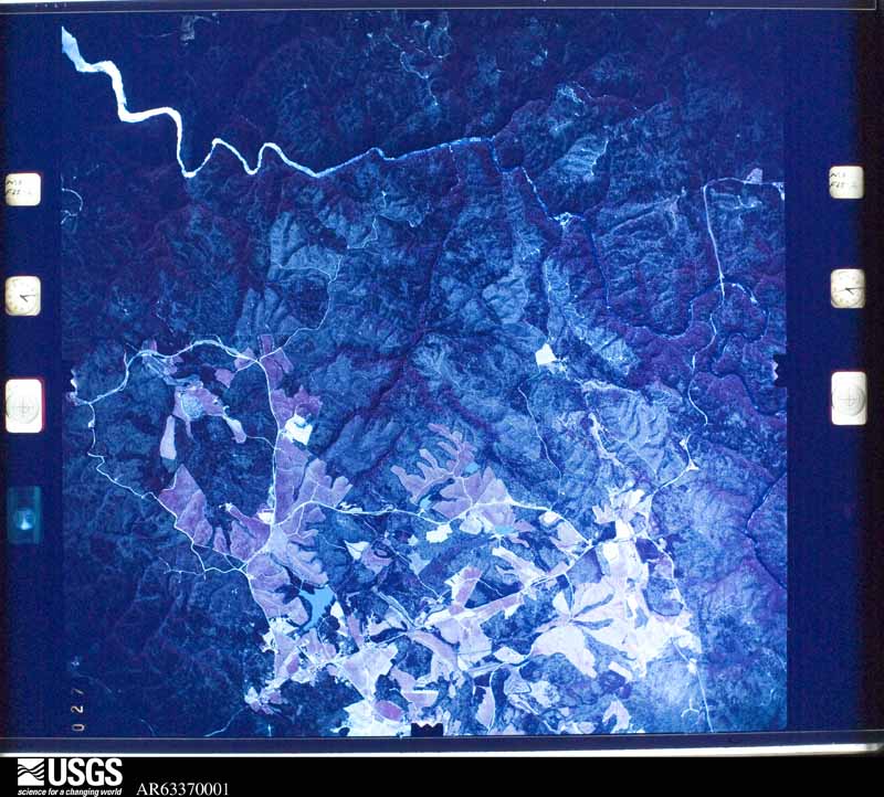
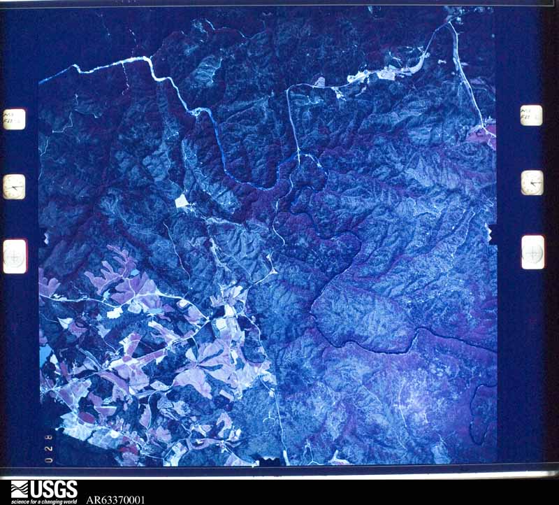
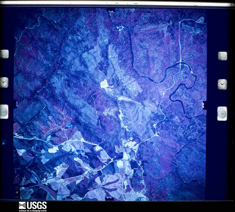
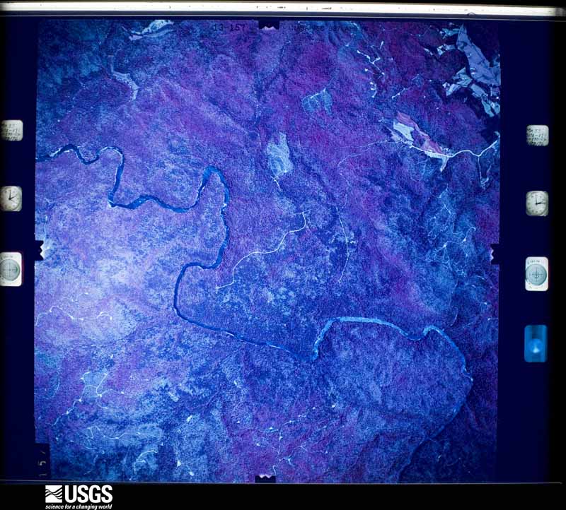
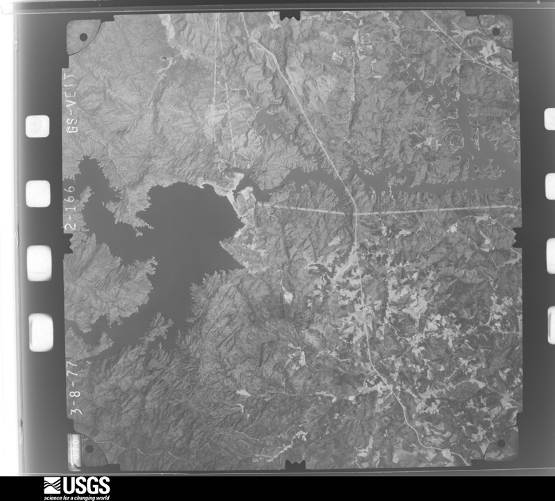
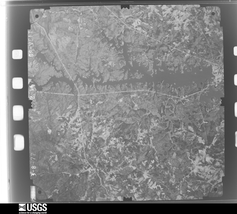
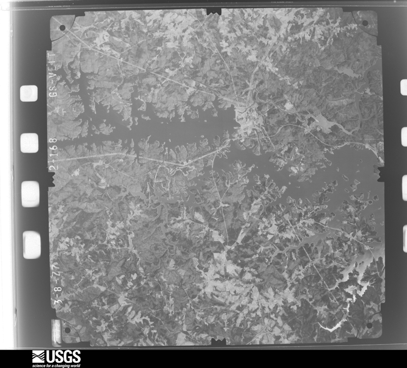
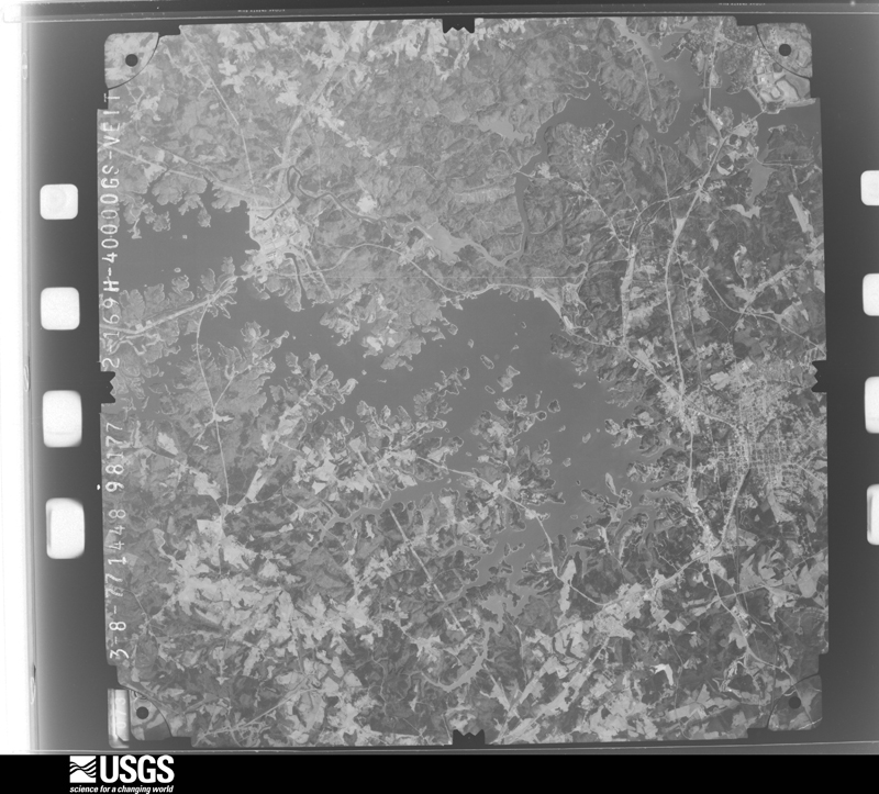
Flown by the U.S. Geological Survey between 1937 and 1989, the Aerial Photo Single Frames collection is the definitive mid-century view of the land: fields, roads and rivers as the camera saw them. The Survey holds 996 frames inside the rectangle that bounds this county; the 37 frames below were taken over the county itself, chosen across the decades of flights (at most four a year from that rectangle), so one flight cannot crowd out the rest. The full set is free to browse and download at EarthExplorer under the dataset Aerial Photo Single Frames.
The thermometers that kept this county's weather, and the gages that measured the flow of its streams, as the federal records hold them. The extremes below are measured values from those records, not estimates.
Who lived here in 1950, one enumeration district at a time, as the Census Bureau described each district. Each row opens its official National Archives result, with Population Schedules and ED Maps available there.
Every wildfire the federal occurrence database records inside this county: 1,078 of them, burning about 5,023 acres. 44 started naturally and 126 were recorded as arson. Each settlement page carries the fires within five miles of it.
| Reported cause | Fires |
|---|---|
| Debris and open burning | 359 |
| Missing data/not specified/undetermined | 309 |
| Arson/incendiarism | 126 |
| Equipment and vehicle use | 77 |
| Natural | 44 |
| Smoking | 42 |
| Misuse of fire by a minor | 35 |
| Recreation and ceremony | 29 |
| Power generation/transmission/distribution | 29 |
| Other causes | 11 |
| Fireworks | 9 |
| Railroad operations and maintenance | 8 |
The five largest, by the area the report gives. One of them was set deliberately.
| Date | Cause | Size | Reported by | Name on the report |
|---|---|---|---|---|
| 13 March 2004 | Arson/incendiarism | 800 acres | Francis Marion & Sumter National Forests | LONGNOSE |
| 19 March 2017 | Recreation and ceremony | 570 acres | Francis Marion & Sumter National Forests | PICKNEY |
| 27 April 2009 | Recreation and ceremony | 239 acres | Francis Marion & Sumter National Forests | GRAPEVINE |
| 21 March 2012 | Debris and open burning | 225 acres | South Carolina Forestry Commission | not named |
| 8 June 2007 | Natural | 205 acres | South Carolina Forestry Commission | not named |
| 27 June 2008 | Natural | 150 acres | Francis Marion & Sumter National Forests | TATER HILL |
| 13 March 2004 | Missing data/not specified/undetermined | 100 acres | South Carolina Forestry Commission | not named |
| 4 March 2005 | Missing data/not specified/undetermined | 80 acres | Francis Marion & Sumter National Forests | BUZZARD ROOST |
Every settlement page carries the fires within five miles of it - see the settlement index below.
The NOAA Storm Events Database holds 612 reports for this county, causing 1 death, 26 injuries and about $109,887,800 in recorded property damage. Each settlement page carries the reports that name it.
| Kind of event | Reports |
|---|---|
| Thunderstorm Wind | 328 |
| Hail | 206 |
| Tornado | 31 |
| Flash Flood | 22 |
| Lightning | 13 |
| Heavy Rain | 6 |
| Flood | 5 |
| Funnel Cloud | 1 |
The most serious of them, by death, then injury, then recorded damage. The accounts are quoted exactly as the forecast office filed them.
| When | Event | Place named | Harm | What the report says |
|---|---|---|---|---|
| April 2020 | Tornado (EF3) | Oakway | 1 killed, 5 hurt, $100,000,000 | NWS Storm Survey found the path of a strong EF3 tornado that began across southern Oconee County, just south of Westminster along Retreat Rd and W Oak Highway. As the tornado moved northeast, damage was largely confined to uprooted and snapped trees as it crossed Highway 11, Brown Farm Rd, and the Coneross Creek drainage before moving into the southwest side of Seneca. The tornado intensified rapidly after crossing S Radio Station Rd. A house on Return Church Rd experienced complete structural collapse, which combined with surrounding vegetation damage of numerous trees snapped and/or debarked was suggestive of strong EF3 damage, or 160 mph peak wind gusts. The tornado maintained EF3 intensity as it continued northeast, destroying a significant portion of a manufacturing facility Between Return Church Rd and Wells Highway. A 77-year-old male employee was killed inside the facility. Four other employees received mostly minor injuries. At least strong EF2 damage continued as the tornado approached the center of Seneca, with numerous homes receiving minor to severe damage, including EF3 damage to at least one house on Ploma Dr. The tornado rapidly weakened as it continued northeast into the east side of Seneca, but continued to snap and uproot numerous trees as it crossed Shiloh Rd and Clemson Blvd. The tornado moved over Lake Keowee a couple of miles north of Clemson Blvd, crossing into Pickens County. This was the first EF3 or stronger tornado in upstate South Carolina since 1994. It was also the first known EF3 or stronger tornado to impact the western Carolinas during the overnight hours. |
| March 1994 | Tornado (F3) | Long Creek to 1 E Pic | 12 hurt, $5,000,000 | no account filed |
| September 2014 | Lightning | Mountain Rest | 2 hurt | EM reported two people sustained minor injuries after lightning struck near them at a campground off Highway 107. |
| June 2011 | Lightning | Battle Creek | 2 hurt | Two people were injured by a lightning strike on the Chattooga River. |
| June 1994 | Tornado (F2) | Pickett Post | 1 hurt, $500,000 | no account filed |
| February 1990 | Tornado (F1) | not stated | 1 hurt, $250,000 | no account filed |
| May 1973 | Tornado (F2) | not stated | 1 hurt, $250,000 | no account filed |
| January 1995 | Thunderstorm Wind | Walhalla | 1 hurt, $5,000 | no account filed |
| July 1988 | Thunderstorm Wind | not stated | 1 hurt | no account filed |
| July 2008 | Lightning | Seneca | $500,000 | Lightning ignited a fire at a large home on Lake Keowee, causing extensive damage. |
| April 2002 | Hail | Madison | $500,000 | Widespread damage to buildings and vehicles was reported. |
| March 1994 | Thunderstorm Wind | Westminister to Walha | $500,000 | no account filed |
| February 2020 | Flash Flood | Whetstone | $400,000 | Media and EM reported flash flooding developed across central and northern Oconee County after 5.5 to 7 inches of rain fell throughout the area in about 24 hours, with much of that falling during the morning of the 6th. Multiple small streams overflowed their banks and flooded/washed out adjacent roads, including Richland Creek in Seneca, Coneross Creek, and Cane Creek, which inundated Rocky Noll Rd, Lusk Rd, and Tulip Dr in the Walhalla area. Roads washed out included Cobb Bridge Rd, Busch Creek Rd, and Conley Rd. Flooding of several streets also occurred in downtown Walhalla due to poor drainage, including Main St and S College St.Media reported flash flooding developed across central Oconee County after 5.5 to 7 inches of rain fell throughout the area in about 24 hours, with much of that falling during the morning of the 6th. Multiple small streams overflowed their banks and flooded/washed out adjacent roads, including Richland Creek in Seneca, Coneross Creek, and Cane Creek, which inundated Rocky Noll Rd, Lusk Rd, and Tulip Dr in the Walhalla area. Flooding of several streets also occurred in downtown Walhalla due to poor drainage, including Main St and S College St. |
| May 1989 | Tornado (F1) | not stated | $250,000 | no account filed |
| April 1989 | Tornado (F2) | not stated | $250,000 | no account filed |
| September 1996 | Tornado (F1) | Tokeena Xrds | $200,000 | no account filed |
| February 1997 | Thunderstorm Wind | Walhalla | $130,000 | no account filed |
| August 2004 | Lightning | Seneca | $80,000 | Lightning ignited fires at 2 homes, causing significant damage to both. |
| September 2004 | Tornado (F1) | Westminster | $75,000 | This tornado blew down numerous trees and power lines along its track, some of which fell on homes. A mobile home was destroyed when it was blown into an embankment. |
| March 1996 | Lightning | Westminster | $75,000 | no account filed |
| July 2017 | Lightning | Westminster | $70,000 | Radio station reported lightning struck and disabled two public works water pumps. |
| April 2002 | Thunderstorm Wind | Madison | $50,000 | Numerous trees and power lines were reported down. In addition, gutters were reportedly torn off of some homes. |
| June 1994 | Thunderstorm Wind | W of Long Creek | $50,000 | no account filed |
| June 1994 | Thunderstorm Wind | Oakway | $50,000 | no account filed |
| March 1993 | Tornado (F0) | Seneca | $50,000 | no account filed |
| February 2020 | Flood | Whetstone | $40,000 | Although heavy rain tapered of across Oconee County throughout the afternoon, high water conditions persisted due to runoff from the earlier rainfall. Many roads remained closed through the evening. |
| April 2021 | Tornado (EF0) | Richland | $30,000 | NWS storm survey found the path of a weak tornado on the north side of Seneca. The tornado touched down near the intersection of Keowee School Rd and Blue Ridge Blvd, where a vehicle was flipped, a business lost part of its roof and a radio tower was damaged. From that point, the tornado moved northeast south of South Cove Rd before lifting near Elclay Dr. Damage east of the initial point of touchdown was limited to multiple snapped or uprooted trees. |
| June 2006 | Flash Flood | Walhalla | $25,000 | Levi Lane, Debra Lane, and Seed Farm Road were all washed out, and numerous other roads were closed due to flooding, mainly in areas from Walhalla south to between Seneca and Westminster. Most of the flooding was due to poor drainage, but some of it was likely due to flooding streams. Closed roads included E Halfway Branch, Antebellum, Avondale, Mauldin Mill, Sertoma Field, and Camp. |
| July 2004 | Thunderstorm Wind | Walhalla | $25,000 | Trees were blown down in the Lake Keowee area. A number of homes were damaged by falling trees. |
| May 1998 | Thunderstorm Wind | Seneca | $25,000 | no account filed |
| March 1996 | Thunderstorm Wind | Long Creek | $25,000 | no account filed |
| May 1989 | Tornado (F2) | not stated | $25,000 | no account filed |
| March 1984 | Tornado (F1) | not stated | $25,000 | no account filed |
| May 1973 | Tornado (F2) | not stated | $25,000 | no account filed |
| January 2020 | Thunderstorm Wind | Tokeena Xrds | $20,000 | Public reported a chicken house destroyed, a smaller outbuilding blown over, minor structural damage to a home, and multiple trees blown down along Rocky Knoll Rd. |
| April 2019 | Flash Flood | Welcome Church | $20,000 | Law enforcement officials reported flash flooding developed after a swatch of 5 to 8 inches of rain, most of which fell in around 6 hours developed across mainly central Oconee County. Numerous roads were reported flooded due to a combination of small stream and drainage flooding. Several vehicles were reportedly submerged. |
| August 2018 | Thunderstorm Wind | Keowee | $20,000 | County comms reported a tree blown down on a home on Chippewa Ct and multiple trees and power lines down with an additional tree on a home on North Bayshore Dr. |
| August 2012 | Lightning | Salem | $20,000 | Lightning struck a home on Buckthorn Trail, starting a fire that damaged several rooms. |
| May 2003 | Thunderstorm Wind | Newry | $20,000 | A 130-year-old tree fell and destroyed a garage and the vehicle inside. |
| September 2004 | Flash Flood | South Portion | $20,000 | no account filed |
| August 2024 | Thunderstorm Wind | Westminster | $10,000 | Public reported a large tree blew down onto and destroyed a car on Pump House Rd. |
| August 2023 | Thunderstorm Wind | Madison | $10,000 | Public reported trees uprooted in the Westminster area, with one tree down on a house. |
| April 2022 | Thunderstorm Wind | West Union | $10,000 | Public reported a barn destroyed at the intersection of Highway 183 and Country Junction Rd. |
| September 2022 | Flash Flood | Walhalla | $10,000 | Multiple sources reported flash flooding developed over western Oconee County after 4 to 7 inches of rain fell in around 6 hours. Impacts were generally limited to inundated roads, including Stribling Shoals Rd and Coffee Rd at the confluence of White Fork and Coneross Creeks. The Chauga River and Ramsey Creek caused significant flooding of Chau Ram Park and Ramsey Creek Rd. Multiple roads were reported flooded and closed closer to Westminster, including Clearmont Rd, which was inundated by Colonels Fork Creek. |
| June 2022 | Thunderstorm Wind | Walhalla | $10,000 | Multiple trees were blown down in the Walhalla area, with one tree on a house. |
| August 2021 | Thunderstorm Wind | Salem | $10,000 | County comms reported multiple trees blown down in the Salem area. One tree was down on a house and others down on power lines. |
| August 2021 | Tornado (EF0) | Courtenay | $10,000 | NWS storm survey reported a tornado touched down briefly on the western shore of Lake Keowee near High Falls County Park. Multiple trees were uprooted in this area, with one tree on a home on Crowe Dr. |
| April 2020 | Thunderstorm Wind | Tokeena Xrds | $10,000 | Public reported numerous large trees down and minor structural damage along Lakefront Rd. |
| July 2020 | Thunderstorm Wind | Salem | $10,000 | Media reported a tree blown down on a mobile home in the Salem area. |
| March 2017 | Thunderstorm Wind | West Union | $10,000 | EM reported widespread trees blown down across northern Oconee County, with more than two dozen roads blocked. Several outbuildings were also damaged or destroyed, while at least one home received siding damage (near Big Brown Dr and Old Highway 11). |
| September 2016 | Thunderstorm Wind | Westminster | $10,000 | Media reported a tree fell on a house on Seed Farm Rd in Westminster. County comms and public reported a couple of additional trees blown down in the Oakway area. |
| May 2016 | Thunderstorm Wind | Courtenay | $10,000 | FD and Highway Patrol reported multiple trees blown down from Lake Keowee to the area around Beacon Ridge Dr west of Clemson. Most of the damage was in this area, where one tree fell on a house. |
| April 2015 | Thunderstorm Wind | Westminster | $10,000 | EM reported mutliple trees blown down in the Westminster area, with one tree down on a home. |
| September 2009 | Flash Flood | Mountain Rest | $10,000 | Creeks flooded several roads in the northern part of the county, including Cassidy Bridge Rd and Whetstone Rd. Several roads were also flooded in Walhalla, including Andover Dr. |
| August 2008 | Heavy Rain | Westminster | $10,000 | A combination of gusty winds and a soaked ground resulting from very heavy rainfall caused a tree to fall on a mobile home, briefly trapping the occupant. |
| August 2002 | Thunderstorm Wind | Westminster | $10,000 | Numerous trees were blown down. At least two trees fell on and damaged mobile homes. |
| September 1996 | Thunderstorm Wind | Seneca | $10,000 | no account filed |
| January 1995 | Thunderstorm Wind | Fair Play | $10,000 | no account filed |
| January 1995 | Thunderstorm Wind | Walhalla | $10,000 | no account filed |
| January 2024 | Flash Flood | Westminster | $5,000 | Public reported (via Social Media) flash flooding developed across central Oconee County, particularly in the urban areas around Seneca and Westminster after 3 to 5 inches of rain fell in around 12 hours. Multiple roads were inundated and impassable due to a combination of small stream flooding and poor drainage. |
The Survey's mineral resources record lists 47 workings inside this county. 2 still produce and 45 are closed or unrecorded. Each settlement page carries the workings within five miles of it.
| Commodity | Workings |
|---|---|
| Gold | 17 |
| Mica | 9 |
| Marble, Dimension | 8 |
| Sand and Gravel, Construction | 3 |
| Granite, Stone, Crushed/Broken | 2 |
| Stone, Crushed/Broken | 2 |
| Silver | 2 |
| Garnet | 1 |
| Clay | 1 |
| Stone, Dimension | 1 |
| Talc-Soapstone | 1 |
The least common of them first, because a county's hundredth gravel pit says nothing its first ten did not.
| Where | Site | Commodity | Status | Recorded |
|---|---|---|---|---|
| Flagstone Prospect | Stone, Dimension | Prospect | ||
| Unnamed Clay Prospect | Clay | Prospect | ||
| Unnamed Garnet Prospect | Garnet | Prospect | ||
| Unnamed Talc Prospect | Talc-Soapstone | Prospect | ||
| (Facility) Unnamed Silver Smelter Site | Silver | Plant | ||
| Oconee Quarry | Granite, Stone, Crushed/Broken | Past Producer | Metamorphic | |
| Oconee Rock Quarry | Stone, Crushed/Broken | Producer | ||
| Unnamed Silver Mine | Silver | Past Producer | ||
| Walhalla Quarry | Granite, Stone, Crushed/Broken | Unknown | Metamorphic | |
| Walhalla Quarry | Stone, Crushed/Broken | Past Producer | ||
| Coneross River Mine | Sand and Gravel, Construction | Past Producer | ||
| Richland Sand Pit | Sand and Gravel, Construction | Unknown | Sedimentary | |
| Richland Sand Pit | Sand and Gravel, Construction | Past Producer | ||
| Marble Prospect | Marble, Dimension | Prospect | ||
| Marble Prospect | Marble, Dimension | Prospect | ||
| Marble Prospect | Marble, Dimension | Prospect | ||
| Marble Prospect | Marble, Dimension | Prospect | ||
| Marble Prospect | Marble, Dimension | Prospect | ||
| Marble Prospect | Marble, Dimension | Prospect | ||
| Marble Prospect | Marble, Dimension | Prospect | ||
| Marble Prospect | Marble, Dimension | Prospect | ||
| Amos L Honeycutt Deposit | Mica | Occurrence | ||
| Bruce Doyle & Reedy Burns Prospects | Mica | Prospect | ||
| J B Smith Prospect | Mica | Prospect | ||
| John Dyer Prospect | Mica | Prospect | ||
| Keith Deposit | Mica | Occurrence | ||
| Leroy Prospect | Mica | Prospect | ||
| Parker Deposit | Mica | Occurrence | ||
| Unnamed Mica Prospect | Mica | Prospect | ||
| Unnamed Mica Prospect | Mica | Prospect | ||
| Cochran Mine | Gold | Past Producer | ||
| Cochran Placer | Gold | Past Producer | 1908 | |
| Cox Prospect | Gold | Past Producer | Placer | |
| Cox Prospect | Gold | Prospect | ||
| Henckel Mine | Gold | Unknown | 1908 | |
| Henckel Mine | Gold | Past Producer | ||
| Jesse Lay Mine | Gold | Unknown | Vein | |
| Jesse Lay Mine | Gold | Past Producer | ||
| Kuhtman Mine | Gold | Unknown | Vein | |
| Kuhtman Mine | Gold | Past Producer | ||
| Pickens Prospect | Gold | Unknown | Vein | |
| Pickens Prospect | Gold | Prospect | ||
| Sitton Prospect | Gold | Unknown | Vein | |
| Sitton Prospect | Gold | Prospect | ||
| Sloan Placer | Gold | Unknown | Placer | |
| Sloan Prospect | Gold | Occurrence | ||
| Whitewater-Toxaway Placer | Gold | Unknown | Placer |
Named settlements recorded in the Geographic Names Information System, each with the topographic sheets covering it. Villages, hamlets and abandoned places alike. Each is shown with the nearest named watercourse or landform and the survey quadrangle it falls on. The 4 places that were also surveyed for fire insurance come first, with the number of atlases and photographs held for them.
Seneca census division · 29678 · Seneca quadrangle
16 sheets, 1888 to 1991
Fire insurance: 8 atlases
Walhalla census division · 29691 · Walhalla quadrangle
20 sheets, 1886 to 1981
Fire insurance: 8 atlases
Walhalla census division · 29696 · On Little Cane Creek · Walhalla quadrangle
20 sheets, 1886 to 1981
Fire insurance: 2 atlases
Westminster census division · 29693 · Westminster quadrangle
17 sheets, 1886 to 1981
Fire insurance: 5 atlases
Seneca census division · 29678 · On Shiloh Branch · Clemson quadrangle
19 sheets, 1888 to 1991
Walhalla census division · 29672 · On Halfway Branch · Westminster quadrangle
17 sheets, 1886 to 1981
Long Creek census division · 29658 · On Shoulder Bone Branch · Tugaloo Lake quadrangle
20 sheets, 1886 to 1997
Seneca census division · 29672 · On Sixmile Creek · Clemson quadrangle
19 sheets, 1888 to 1991
Seneca census division · 29678 · On Speeds Creek · Seneca quadrangle
16 sheets, 1888 to 1991
Salem census division · 29676 · Near Smeltzer Mountain · Salem quadrangle
19 sheets, 1888 to 1996
Seneca census division · 29672 · On Halfway Branch · Seneca quadrangle
16 sheets, 1888 to 1991
Long Creek census division · 29693 · Near Piney Mountain · Holly Springs quadrangle
17 sheets, 1886 to 1981
Walhalla census division · 29696 · On Little Cane Creek · Walhalla quadrangle
20 sheets, 1886 to 1981
Walhalla census division · 29691 · On Reece Branch · Walhalla quadrangle
20 sheets, 1886 to 1981
Westminster census division · 29693 · On Ramsey Creek · Holly Springs quadrangle
17 sheets, 1886 to 1981
Mountain Rest census division · 29686 · On Knox Creek · Tamassee quadrangle
19 sheets, 1886 to 1996
Westminster census division · 29693 · On Colonels Fork Creek · Westminster quadrangle
17 sheets, 1886 to 1981
Seneca census division · 29678 · On Shiloh Branch · Seneca quadrangle
16 sheets, 1888 to 1991
Seneca census division · 29678 · On Snow Creek · Seneca quadrangle
16 sheets, 1888 to 1991
Walhalla census division · 29672 · On Dodgens Creek · Seneca quadrangle
16 sheets, 1888 to 1991
Walhalla census division · 29696 · On Little Cane Creek · Walhalla quadrangle
20 sheets, 1886 to 1981
Walhalla census division · 29693 · On Negro Fork · Westminster quadrangle
17 sheets, 1886 to 1981
No longer a settlement
Seneca census division · 29672 · On Cane Creek · Seneca quadrangle
16 sheets, 1888 to 1991
Walhalla census division · 29696 · On Little Cane Creek · Walhalla quadrangle
20 sheets, 1886 to 1981
Westminster census division · 29693 · On Chauga River · Avalon quadrangle
18 sheets, 1886 to 1981
Walhalla census division · 29672 · On Frenge Branch · Old Pickens quadrangle
16 sheets, 1888 to 1991
Walhalla census division · 29696 · On Little Cane Creek · Walhalla quadrangle
20 sheets, 1886 to 1981
Walhalla census division · 29672 · On Cater Branch · Walhalla quadrangle
20 sheets, 1886 to 1981
Walhalla census division · 29672 · On Dodgens Creek · Seneca quadrangle
16 sheets, 1888 to 1991
Seneca census division · 29678 · On Seneca Creek · Clemson quadrangle
19 sheets, 1888 to 1991
No longer a settlement
Walhalla census division · 29696 · On Dodgens Creek · Seneca quadrangle
16 sheets, 1888 to 1991
Walhalla census division · 29672 · On Crooked Creek · Seneca quadrangle
16 sheets, 1888 to 1991
Walhalla census division · 29696 · On Little Cane Creek · Old Pickens quadrangle
16 sheets, 1888 to 1991
Walhalla census division · 29691 · On Reece Branch · Walhalla quadrangle
20 sheets, 1886 to 1981
Walhalla census division · 29691 · On Williams Creek · Walhalla quadrangle
20 sheets, 1886 to 1981
Walhalla census division · 29672 · On Dodgens Creek · Seneca quadrangle
16 sheets, 1888 to 1991
Walhalla census division · 29672 · On Dodgens Creek · Seneca quadrangle
16 sheets, 1888 to 1991
Seneca census division · 29672 · On Little River · Seneca quadrangle
16 sheets, 1888 to 1991
Westminster census division · 29693 · On Toxaway Creek · Holly Springs quadrangle
17 sheets, 1886 to 1981
No longer a settlement
Westminster census division · 29693 · Near Grassy Mountain · Holly Springs quadrangle
17 sheets, 1886 to 1981
Westminster census division · 29693 · On Ramsey Creek · Holly Springs quadrangle
17 sheets, 1886 to 1981
No longer a settlement
Salem census division · 29676 · On Whitewater River · Salem quadrangle
19 sheets, 1888 to 1996
Salem census division · 29676 · On Whitewater River · Salem quadrangle
19 sheets, 1888 to 1996
No longer a settlement
Walhalla census division · 29672 · On Crooked Creek · Seneca quadrangle
16 sheets, 1888 to 1991
Seneca census division · 29672 · On Cane Creek · Seneca quadrangle
16 sheets, 1888 to 1991
Walhalla census division · 29672 · On Dodgens Creek · Seneca quadrangle
16 sheets, 1888 to 1991
Walhalla census division · 29672 · On Von Hollen Creek · Old Pickens quadrangle
16 sheets, 1888 to 1991
Mountain Rest census division · 29664 · Near Callas Mountain · Satolah quadrangle
18 sheets, 1886 to 1981
Long Creek census division · 29658 · On Persimmon Branch · Rainy Mountain quadrangle
20 sheets, 1886 to 1997
Mountain Rest census division · 29686 · On Cantrell Creek · Tamassee quadrangle
19 sheets, 1886 to 1996
Seneca census division · 29678 · On Shiloh Branch · Clemson quadrangle
19 sheets, 1888 to 1991
Walhalla census division · 29696 · On Beaty Creek · Walhalla quadrangle
20 sheets, 1886 to 1981
Walhalla census division · 29672 · On Halfway Branch · Westminster quadrangle
17 sheets, 1886 to 1981
Seneca census division · 29672 · On Kelly Creek · Old Pickens quadrangle
16 sheets, 1888 to 1991
Walhalla census division · 29672 · On Crooked Creek · Seneca quadrangle
16 sheets, 1888 to 1991
Westminster census division · 29693 · Holly Springs quadrangle
17 sheets, 1886 to 1981
Walhalla census division · 29696 · On Halfway Branch · Westminster quadrangle
17 sheets, 1886 to 1981
Mountain Rest census division · 29691 · On Alexander Creek · Walhalla quadrangle
20 sheets, 1886 to 1981
Seneca census division · 29678 · On Martin Creek · Seneca quadrangle
16 sheets, 1888 to 1991
Walhalla census division · 29693 · On Colonels Fork Creek · Westminster quadrangle
17 sheets, 1886 to 1981
Oakway census division · 29678 · On Perkins Creek · Seneca quadrangle
16 sheets, 1888 to 1991
Seneca census division · 29693 · On Colonels Fork Creek · Westminster quadrangle
17 sheets, 1886 to 1981
Seneca census division · 29693 · On Colonels Fork Creek · Westminster quadrangle
17 sheets, 1886 to 1981
Seneca census division · 29678 · On Seneca Creek · Seneca quadrangle
16 sheets, 1888 to 1991
Mountain Rest census division · 29664 · On Russell Mountain · Satolah quadrangle
18 sheets, 1886 to 1981
No longer a settlement
Walhalla census division · 29672 · On Cater Branch · Old Pickens quadrangle
16 sheets, 1888 to 1991
Seneca census division · 29678 · On Speeds Creek · Fair Play quadrangle
17 sheets, 1888 to 1991
Walhalla census division · 29696 · On Little Cane Creek · Walhalla quadrangle
20 sheets, 1886 to 1981
Seneca census division · 29672 · On Sixmile Creek · Clemson quadrangle
19 sheets, 1888 to 1991
Walhalla census division · 29672 · On Frenge Branch · Old Pickens quadrangle
16 sheets, 1888 to 1991
Walhalla census division · 29672 · On Dodgens Creek · Seneca quadrangle
16 sheets, 1888 to 1991
Salem census division · 29686 · On Reece Branch · Tamassee quadrangle
19 sheets, 1886 to 1996
Seneca census division · 29678 · On Perkins Creek · Seneca quadrangle
16 sheets, 1888 to 1991
Seneca census division · 29678 · On Shiloh Branch · Seneca quadrangle
16 sheets, 1888 to 1991
Seneca census division · 29678 · On Seneca Creek · Seneca quadrangle
16 sheets, 1888 to 1991
Mountain Rest census division · 29664 · On Grapevine Branch · Whetstone quadrangle
20 sheets, 1886 to 1997
Walhalla census division · 29672 · On Von Hollen Creek · Old Pickens quadrangle
16 sheets, 1888 to 1991
Seneca census division · 29678 · On Richland Creek · Seneca quadrangle
16 sheets, 1888 to 1991
The vanished settlements of Oconee County: the places named above that are no longer on the map.
16 topographic sheets and 8 fire insurance atlases, 1884 to 1941
20 topographic sheets and 8 fire insurance atlases, 1884 to 1933
17 topographic sheets and 5 fire insurance atlases, 1898 to 1936
20 topographic sheets and 2 fire insurance atlases, 1924
The complete index, with nothing left out. Each of these is a separate record with its own page: a federal survey report, or the case file that argued a property on to the National Register. Both are public domain and reproduced word for word.
The vanished settlements of Oconee County, the places these records name that are no longer on the map.