 Block
Ogden, South Carolina
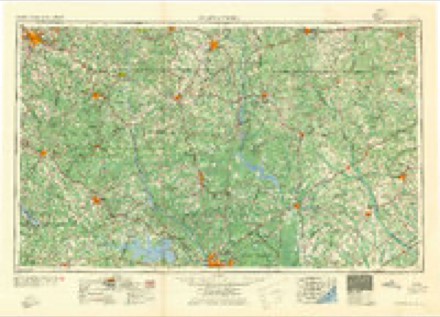
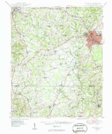
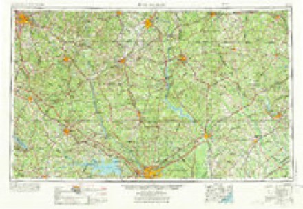
15 topographic sheets cover this place, the earliest surveyed in 1941 and the latest in 1986. It stands in the Rock Hill census division. It lies in ZIP code area 29730. The Survey maps it on the Edgemoor quadrangle.
Topographic sheets covering this place
8 surveys from 15 printed sheetsMatched by testing this settlement's coordinate against the published boundary of every sheet in the United States Geological Survey's historical collection. Each opens the scanned sheet at the Survey.
- 1941 USGS Spartanburg quadrangle1:250000
- 1949 USGS Rock Hill quadrangle1:62500, 3 printings
- 1953 USGS Spartanburg quadrangle1:250000, 4 printings
- 1960 USGS Spartanburg quadrangle1:250000, 2 printings
- 1963 USGS Spartanburg quadrangle1:250000
- 1964 USGS Spartanburg quadrangle1:250000
- 1982 USGS Edgemoor quadrangle1:24000
- 1986 USGS Spartanburg quadrangle1:100000, 2 printings
Fires near this place
78 since 1992Regional context, not property-specific evidence. The federal wildfire occurrence database lists 78 fires within 5 miles of Ogden between 1992 and 2017, burning about 215 acres in total. 1 started naturally. 8 were recorded as arson. Distance is straight-line from the map coordinates, so a fire counted here may appear on a neighbouring settlement's page as well.
| Reported cause | Fires |
|---|---|
| Missing data/not specified/undetermined | 41 |
| Debris and open burning | 18 |
| Arson/incendiarism | 8 |
| Equipment and vehicle use | 4 |
| Misuse of fire by a minor | 4 |
| Natural | 1 |
| Recreation and ceremony | 1 |
| Fireworks | 1 |
The most recent of them, most recent first, with the day each was reported and the service that recorded it.
| Date | Cause | Size | Reported by | Name on the report |
|---|---|---|---|---|
| 19 September 2005 | Arson/incendiarism | 3.0 acres | South Carolina Forestry Commission | not named |
| 18 September 1992 | Missing data/not specified/undetermined | under an acre | South Carolina Forestry Commission | not named |
| 16 September 2010 | Equipment and vehicle use | 1.0 acres | South Carolina Forestry Commission | not named |
| 31 August 2005 | Debris and open burning | under an acre | South Carolina Forestry Commission | not named |
| 29 August 1997 | Debris and open burning | 1.0 acres | South Carolina Forestry Commission | not named |
| 26 August 1992 | Missing data/not specified/undetermined | 1.0 acres | South Carolina Forestry Commission | not named |
| 16 August 2000 | Debris and open burning | under an acre | South Carolina Forestry Commission | not named |
| 8 July 1998 | Misuse of fire by a minor | 1.0 acres | South Carolina Forestry Commission | not named |
Settlements close enough to share some of these fires:
Mines and quarries near this place
2 within 5 milesRegional context, not property-specific evidence. The federal mineral resources record lists 2 workings within 5 miles of Ogden: 2 producers. All of them still produce. What was taken out: Stone, Crushed/Broken. Distance is straight-line from the map coordinates, so a quarry counted here may appear on a neighbouring settlement's page as well.
| Where | Site | Commodity | Status | Recorded |
|---|---|---|---|---|
| Rock Hill Quarry | Stone, Crushed/Broken | Producer | ||
| York Mill | Stone, Crushed/Broken | Producer |
Storms near this place
7 since 2008Regional context, not property-specific evidence. The National Weather Service names Ogden in 7 storm reports between 2008 and 2024: 3 flash flood, 2 flood, 1 hail, 1 thunderstorm wind. No death or injury is recorded in these reports. Each account below is quoted exactly as the forecast office filed it, from the NOAA Storm Events Database, and each date opens the federal record of that event.
| When | Event | Place named | Harm | What the report says |
|---|---|---|---|---|
| January 2024 | Flash Flood | Ogden | $30,000 | Multiple sources reported flash flooding developed in the Rock Hill and Form Mill areas after 3 to 5 inches of rain fell in around 12 hours, with about half of that falling in just a couple of hours during the late morning and early afternoon. Multiple streams overflowed their banks and inundated roads and even some structures. Impacted streams included Wildcat Creek, which inundated Ogden Rd and McConnells Highway and Big Dutchman Creek, which flooded West Oak Dr and Mount Gallant Rd, and Stony Creek, which inundated Highway 324. Poor drainage flooding also resulted in a motorist becoming stranded at Celanese Rd and Museum Rd and water entering homes on Hamilton Forest Rd in Fort Mill and on Beachwood Cove Dr in Tega Cay. |
| August 2024 | Flash Flood | Ogden | $25,000 | Multiple sources reported flash flooding developed across a portion of York County, mainly in areas just west and southwest of Rock Hill, after 4 to 7 inches of rain fell. The main streams impacted were Wildcat Creek, Fishing Creek and their tributaries. Water from a tributary inundated King Drive and College Downs Park with several inches of water. Stony Fork flooded Skyline Road and Highway 324, as well as Rambo Rd, with water over several driveways and entering the crawlspace of at least one home and surrounding another. Water from a tributary of Stony Fork inundated Williamson Rd. Fishing Creek overflowed onto Ogden Rd. Finally, a stream gauge on Wildcat Creek at Robertson Rd exceeded its established flood stage, indicating inundation of McConnells Highway. In addition, Calabash Branch overflowed onto Calabash Rd in the Clover area. |
| April 2015 | Flash Flood | Ogden | $10,000 | Highway Patrol reported flash flooding developed across eastern York County after about an inch of rain fell in about an hour associated with an area of thunderstorms. This was on top of 1-2 inches that had already fallen earlier in the day. Automated stream gauges on Wildcat Creek southwest of Rock Hill, and on Big Dutchman Creek north of the city. Multiple roads were closed due to flooding along these creeks and due to poor drainage. Affected roads included Mt Gallant Rd, McConnells Highway at Saluda Rd, and Paraham Rd at Highway 49. |
| April 2015 | Flood | Ogden | $1,000 | Although heavy rain ended across York County during the evening of the 19th, flooding continued along the Wildcat Creek basin into the early part of the overnight. |
| July 2019 | Thunderstorm Wind | Ogden | $500 | Public reported most of the shingles were blown off a shed in the Ogden community. |
| December 2015 | Flood | Ogden | $500 | Although heavy rain ended across York County during the afternoon of the 30th, flooding continued along the Wildcat Creek basin well into the evening. |
| September 2008 | Hail | Ogden | - | Hail was reported on highway 72 southwest of Rock Hill. |
Nearest settlements
The eight closest, with where each one stands in the county. Distances are straight-line, computed from the Geographic Names Information System coordinates.
| Map | Place | Distance | Sheets |
|---|---|---|---|
| Deas Mill | 1.4 miles | 15 | |
| Oakdale Acres | 2.5 miles | 16 | |
| Oakdale | 2.6 miles | 16 | |
| Clubside Estates | 2.8 miles | 16 | |
| Whispering Hills | 3.2 miles | 16 | |
| College Farms | 3.3 miles | 16 | |
| Country Club Estates | 3.4 miles | 16 | |
| Quail Run | 3.5 miles | 16 |
Provenance
This settlement is recorded in the Geographic Names Information System as feature 1231611. The sheet list is computed by point-in-boundary test against the United States Geological Survey's historical topographic inventory. Both are works of the United States government and carry no copyright under 17 U.S.C. 105.
Wildfire. Short, Karen C. 2022. Spatial wildfire occurrence data for the United States, 1992-2020 [FPA_FOD_20221014]. 6th Edition. Fort Collins, CO: Forest Service Research Data Archive. https://doi.org/10.2737/RDS-2013-0009.6 Collected with United States Government funding and usable without additional permissions or fees.
Mines and quarries. USGS Mineral Resources Data System (MRDS) https://mrdata.usgs.gov/mrds/ A work of the United States government, no copyright under 17 U.S.C. 105.
Storms. NOAA National Centers for Environmental Information, Storm Events Database https://www.ncei.noaa.gov/stormevents/ A work of the United States government, no copyright under 17 U.S.C. 105. Narratives are quoted verbatim from the National Weather Service report and are not edited or summarised.