 Block
Pinecrest, South Carolina
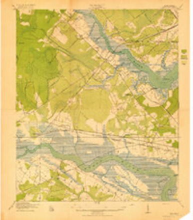
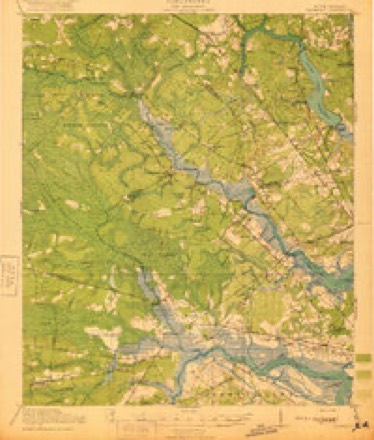
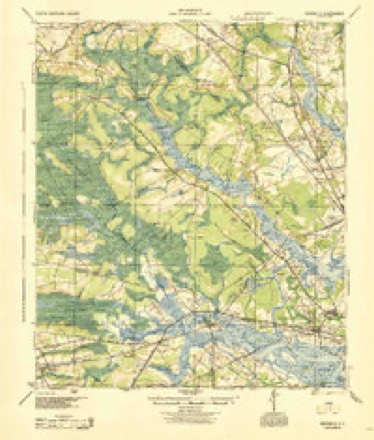
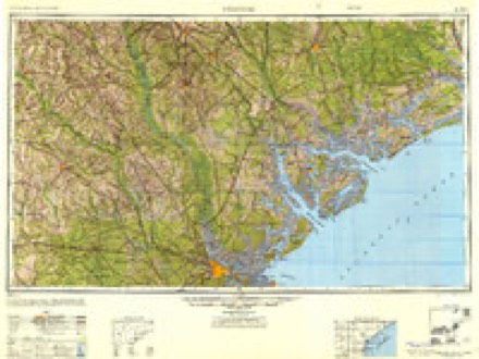
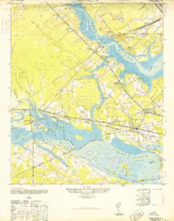
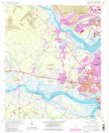
25 topographic sheets cover this place, the earliest surveyed in 1919 and the latest in 1990. It stands in the West Ashley census division. It lies in ZIP code area 29407. The Survey maps it on the Johns Island quadrangle.
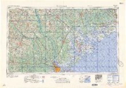
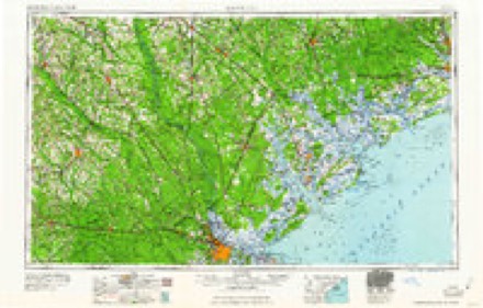
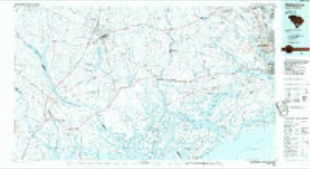
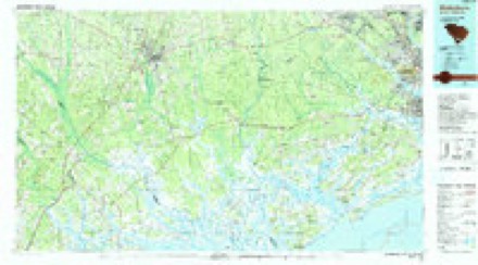
Topographic sheets covering this place
12 surveys from 25 printed sheetsMatched by testing this settlement's coordinate against the published boundary of every sheet in the United States Geological Survey's historical collection. Each opens the scanned sheet at the Survey.
- 1919 USGS Johns Island quadrangle1:21120, 2 printings
- 1920 USGS Ravenels quadrangle1:62500, 3 printings
- 1944 USGS Ravenels quadrangle1:62500
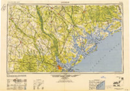
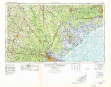
- 1947 USGS Savannah quadrangle1:250000
- 1948 USGS Johns Island quadrangle1:24000, 3 printings
- 1948 USGS Savannah quadrangle1:250000
- 1957 USGS Savannah quadrangle1:250000, 4 printings
- 1958 USGS Johns Island quadrangle1:24000, 5 printings
- 1960 USGS Savannah quadrangle1:250000
- 1961 USGS Savannah quadrangle1:250000, 2 printings
- 1986 USGS Walterboro quadrangle1:100000
- 1990 USGS Walterboro quadrangle1:100000
Fires near this place
36 since 1992Regional context, not property-specific evidence. The federal wildfire occurrence database lists 36 fires within 5 miles of Pinecrest between 1992 and 2020, burning about 147 acres in total. 1 started naturally. 7 were recorded as arson. Distance is straight-line from the map coordinates, so a fire counted here may appear on a neighbouring settlement's page as well.
| Reported cause | Fires |
|---|---|
| Missing data/not specified/undetermined | 17 |
| Debris and open burning | 8 |
| Arson/incendiarism | 7 |
| Misuse of fire by a minor | 2 |
| Natural | 1 |
| Fireworks | 1 |
The most recent of them, most recent first, with the day each was reported and the service that recorded it.
| Date | Cause | Size | Reported by | Name on the report |
|---|---|---|---|---|
| 25 September 1993 | Missing data/not specified/undetermined | 30 acres | South Carolina Forestry Commission | not named |
| 12 September 1999 | Arson/incendiarism | 4.0 acres | South Carolina Forestry Commission | not named |
| 4 August 1999 | Debris and open burning | under an acre | South Carolina Forestry Commission | not named |
| 4 August 1999 | Arson/incendiarism | under an acre | South Carolina Forestry Commission | not named |
| 29 August 1998 | Debris and open burning | under an acre | South Carolina Forestry Commission | not named |
| 7 July 2012 | Fireworks | 8.0 acres | South Carolina Forestry Commission | not named |
| 29 July 1998 | Debris and open burning | under an acre | South Carolina Forestry Commission | not named |
| 24 July 1998 | Debris and open burning | under an acre | South Carolina Forestry Commission | not named |
Settlements close enough to share some of these fires:
Mines and quarries near this place
9 within 5 milesRegional context, not property-specific evidence. The federal mineral resources record lists 9 workings within 5 miles of Pinecrest: 4 producers, 3 past producers, 2 unknowns. 4 still produce. What was taken out: Sand and Gravel, Construction, Sand and Gravel, Construction, Clay, Clay, REE. Distance is straight-line from the map coordinates, so a quarry counted here may appear on a neighbouring settlement's page as well.
| Where | Site | Commodity | Status | Recorded |
|---|---|---|---|---|
| Airco Alloys | Iron | Unknown | ||
| Brinson Pit | Sand and Gravel, Construction, Clay | Unknown | Sedimentary | |
| Brinson Pit | Sand and Gravel, Construction, Clay | Producer | ||
| Charleston County Mine | REE, Thorium | Producer | ||
| Brownswood Mine | Sand and Gravel, Construction | Past Producer | Sedimentary | |
| Cross Country Mine | Sand and Gravel, Construction | Producer | ||
| Cross Creek Mine | Sand and Gravel, Construction | Producer | ||
| Mt Pleasant Pit | Sand and Gravel, Construction | Past Producer | Sedimentary | |
| Murraywood Pit | Sand and Gravel, Construction | Past Producer | Sedimentary |
Storms near this place
24 since 2009Regional context, not property-specific evidence. The National Weather Service names Pinecrest in 24 storm reports between 2009 and 2022: 16 thunderstorm wind, 4 lightning, 3 flash flood, 1 hail. No death or injury is recorded in these reports. Each account below is quoted exactly as the forecast office filed it, from the NOAA Storm Events Database, and each date opens the federal record of that event.
| When | Event | Place named | Harm | What the report says |
|---|---|---|---|---|
| October 2015 | Flash Flood | Pinecrest | $728,550 | Firefighters reported water entering homes near the intersection of Wapoo Road and Elsey Drive. The intersection of West Oak Forest Drive and Oak Forest Drive was also closed due to flooding. |
| September 2022 | Lightning | Pinecrest | $10,000 | A residential structure fire due to lightning was reported. No injuries occurred. |
| September 2022 | Lightning | Pinecrest | $10,000 | The Charleston Fire Department reported a residential structure fire due to a lightning strike. |
| January 2017 | Lightning | Pinecrest | $10,000 | Charleston County dispatch reported a house fire on Headquarters Plantation Island started by a lightning strike. |
| June 2009 | Lightning | Pinecrest | $10,000 | A newspaper article indicated that a house was struck by lightning and caught on fire in Headquarters Plantation off the Maybank Highway in Johns Island, South Carolina. |
| December 2012 | Thunderstorm Wind | Pinecrest | $2,250 | The Charleston Police Department reported a tree and power lines down on Wateree Drive. |
| September 2014 | Flash Flood | Pinecrest | $1,000 | Elsey Drive was reported closed near the intersection with LaSalle Avenue due to flash flooding. |
| June 2013 | Thunderstorm Wind | Pinecrest | $1,000 | The Charleston County 911 call center reported a tree down at the 1300 block of White Drive. |
| June 2013 | Thunderstorm Wind | Pinecrest | $1,000 | The South Carolina Department of Highways reported a tree down near the intersection of Savannah Highway and Orleans Road. |
| July 2012 | Thunderstorm Wind | Pinecrest | $1,000 | NWS employee reported one tree down along River Road and Maybank Road. |
| August 2010 | Thunderstorm Wind | Pinecrest | $1,000 | Law enforcement reported a tree down at the intersection of Betsy Road and Sanford Road. |
| June 2022 | Thunderstorm Wind | Pinecrest | - | A report received via social media indicated a tree down on Wappoo Road. |
| May 2019 | Thunderstorm Wind | Pinecrest | - | Public reports were received of trees down on Millcreek Drive, south of Highway 17. An NWS employee surveyed the area and found as many as 8 to 10 medium to large sized trees down across several streets. The most concentrated wind damaged was noted between Cessna Avenue and Millcreek Street. The trees missed homes, but one did fall on a small greenhouse. |
| April 2019 | Thunderstorm Wind | Pinecrest | - | A report via social media indicated a tree down near the intersection of Shelley Road and Keats Road. |
| August 2018 | Thunderstorm Wind | Pinecrest | - | The media relayed a report of a large water oak down crushing a car and blocking Hinson Avenue near Medway Road in the Riverland Terrace neighborhood. |
| August 2018 | Thunderstorm Wind | Pinecrest | - | The media reported a tree down beside a house on Opal Avenue. |
| April 2017 | Hail | Pinecrest | - | A report via amateur radio indicated quarter size hail near the intersection of Highway 61 and Glenn McConnell Parkway. |
| May 2016 | Thunderstorm Wind | Pinecrest | - | A member of the local broadcast media passed along a report of a tree down at a car dealership on Highway 17 which damaged at least one vehicle. |
| July 2016 | Thunderstorm Wind | Pinecrest | - | A NWS employee reported at least two large tree limbs down near the 500 block of Stinson Drive. |
| July 2016 | Thunderstorm Wind | Pinecrest | - | The public reported a large tree down and across Rushland Landing Road on Johns Island, blocking access to the neighborhood. |
| July 2015 | Thunderstorm Wind | Pinecrest | - | South Carolina Highway Patrol reported a tree down across Maybank Highway near the intersection with Fenwich Hall Allee. |
| July 2015 | Thunderstorm Wind | Pinecrest | - | An off duty National Weather Service employee reported a large tree down near the intersection of Interstate 526 and Highway 17. |
| June 2013 | Thunderstorm Wind | Pinecrest | - | An off duty NWS employee estimated a 60 mph wind gust on Maybank Bridge. |
| August 2012 | Flash Flood | Pinecrest | - | A trained spotter reports that Emory Avenue is flooded and only passable by tall trucks. Many yards are flooded and water is surrounding some homes. |
Nearest settlements
The eight closest, with where each one stands in the county. Distances are straight-line, computed from the Geographic Names Information System coordinates.
| Map | Place | Distance | Sheets |
|---|---|---|---|
| Orleans Woods | 0.4 miles | 25 | |
| Ashley Hall Manor | 0.6 miles | 25 | |
| Orleans Estates | 0.6 miles | 25 | |
| Heathwood | 0.7 miles | 25 | |
| Sherwood Forest | 0.7 miles | 25 | |
| Castlewood | 0.8 miles | 25 | |
| Saint Andrews Heights | 0.8 miles | 25 | |
| Murry Hill | 0.8 miles | 25 |
Provenance
This settlement is recorded in the Geographic Names Information System as feature 1231660. The sheet list is computed by point-in-boundary test against the United States Geological Survey's historical topographic inventory. Both are works of the United States government and carry no copyright under 17 U.S.C. 105.
Wildfire. Short, Karen C. 2022. Spatial wildfire occurrence data for the United States, 1992-2020 [FPA_FOD_20221014]. 6th Edition. Fort Collins, CO: Forest Service Research Data Archive. https://doi.org/10.2737/RDS-2013-0009.6 Collected with United States Government funding and usable without additional permissions or fees.
Mines and quarries. USGS Mineral Resources Data System (MRDS) https://mrdata.usgs.gov/mrds/ A work of the United States government, no copyright under 17 U.S.C. 105.
Storms. NOAA National Centers for Environmental Information, Storm Events Database https://www.ncei.noaa.gov/stormevents/ A work of the United States government, no copyright under 17 U.S.C. 105. Narratives are quoted verbatim from the National Weather Service report and are not edited or summarised.