 Block
Port Royal, South Carolina
19 topographic sheets cover this place, the earliest surveyed in 1944 and the latest in 1998. It stands in the Beaufort-Port Royal census division. It lies in ZIP code area 29935. It stands on Battery Creek. The Survey maps it on the Beaufort quadrangle. 14,220 people lived here at the 2020 count. It stands 23 feet above sea level.
On record in Port Royal
Buildings and businesses the archive holds for this place. Each opens its own page, with the source record it came from.
On the National Register 4 records
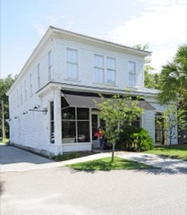 F.W. Scheper Storelisted 2004
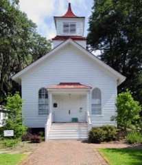 Union Church of Port Royallisted 2010
- Little Barnwell Islandlisted 1973
- Port Royal Schoollisted 2014
Surveyed buildings and structures 1 record
- Fort Frederick, Fort Frederick Boat Landing, Port Royalfederal building survey, 9 photographs
Population over time
2 figuresPort Royal grew from 10,678 to 14,220 between 2010 and 2020. These are the recorded population figures Wikidata holds for this place, reached through the Geographic Names Information System number this page is keyed on rather than by name, so they belong to this place and not to another of the same name. Most are census counts, but not all are: an early figure may be a founding or settlement estimate, and an estimate published within five years of a census is left out. The change column is computed, and is left blank where more than 20 years separate a figure from the one before it, because a gap that long is not a change between two counts.
| Year | People | Change |
|---|---|---|
| 2010 | 10,678 | |
| 2020 | 14,220 | +3,542 (+33%) |
Topographic sheets covering this place
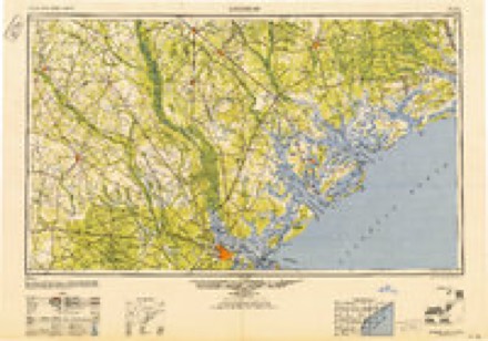
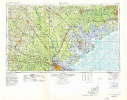
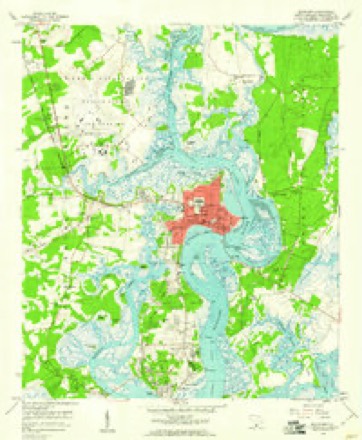
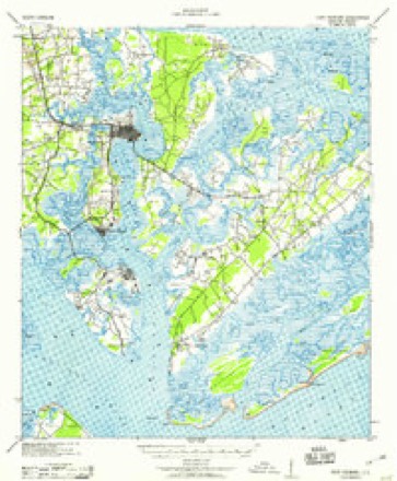
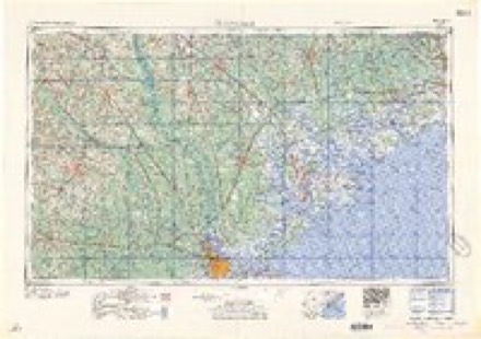
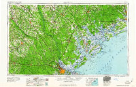
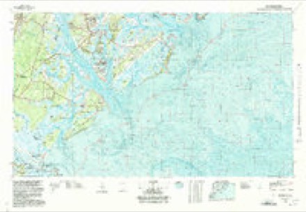
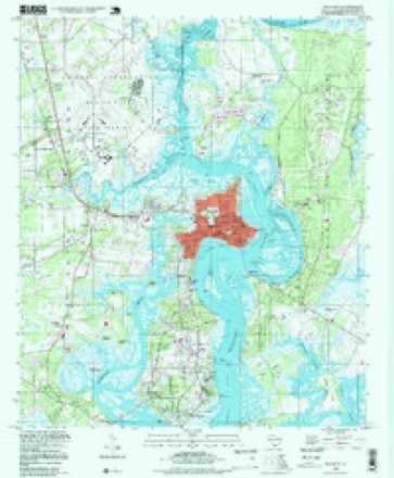
10 surveys from 19 printed sheetsMatched by testing this settlement's coordinate against the published boundary of every sheet in the United States Geological Survey's historical collection. Each opens the scanned sheet at the Survey.
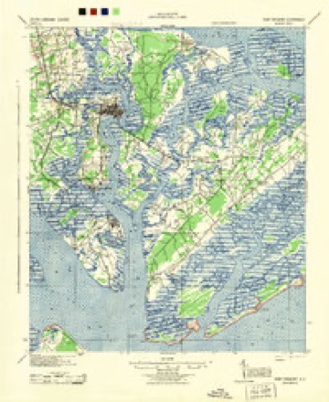
- 1944 USGS Fort Fremont quadrangle1:62500
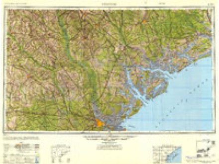
- 1947 USGS Savannah quadrangle1:250000
- 1948 USGS Savannah quadrangle1:250000
- 1957 USGS Savannah quadrangle1:250000, 4 printings
- 1958 USGS Beaufort quadrangle1:24000, 5 printings
- 1959 USGS Fort Fremont quadrangle1:62500
- 1960 USGS Savannah quadrangle1:250000
- 1961 USGS Savannah quadrangle1:250000, 2 printings
- 1978 USGS Beaufort quadrangle1:100000, 2 printings
- 1998 USGS Beaufort quadrangle1:24000
Fires near this place
96 since 1992Regional context, not property-specific evidence. The federal wildfire occurrence database lists 96 fires within 5 miles of Port Royal between 1992 and 2020, burning about 329 acres in total. 1 started naturally. 21 were recorded as arson. Distance is straight-line from the map coordinates, so a fire counted here may appear on a neighbouring settlement's page as well.
| Reported cause | Fires |
|---|---|
| Debris and open burning | 37 |
| Missing data/not specified/undetermined | 22 |
| Arson/incendiarism | 21 |
| Misuse of fire by a minor | 11 |
| Recreation and ceremony | 2 |
| Natural | 1 |
| Equipment and vehicle use | 1 |
| Fireworks | 1 |
The most recent of them, most recent first, with the day each was reported and the service that recorded it.
| Date | Cause | Size | Reported by | Name on the report |
|---|---|---|---|---|
| 9 August 2002 | Debris and open burning | under an acre | South Carolina Forestry Commission | not named |
| 7 August 1999 | Arson/incendiarism | 2.0 acres | South Carolina Forestry Commission | not named |
| 5 August 2008 | Debris and open burning | under an acre | South Carolina Forestry Commission | not named |
| 2 August 2001 | Debris and open burning | 8.0 acres | South Carolina Forestry Commission | not named |
| 14 August 2000 | Debris and open burning | 1.0 acres | South Carolina Forestry Commission | not named |
| 5 July 1993 | Missing data/not specified/undetermined | 1.0 acres | South Carolina Forestry Commission | not named |
| 3 July 1996 | Missing data/not specified/undetermined | 1.0 acres | South Carolina Forestry Commission | not named |
| 29 July 2006 | Debris and open burning | 1.0 acres | South Carolina Forestry Commission | not named |
Settlements close enough to share some of these fires:
Storms near this place
30 since 1994Regional context, not property-specific evidence. The National Weather Service names Port Royal in 30 storm reports between 1994 and 2025: 16 thunderstorm wind, 5 hail, 5 lightning, 3 flash flood. No death or injury is recorded in these reports. Each account below is quoted exactly as the forecast office filed it, from the NOAA Storm Events Database, and each date opens the federal record of that event.
| When | Event | Place named | Harm | What the report says |
|---|---|---|---|---|
| July 2021 | Tornado (EF1) | Port Royal | $1,000,000 | A National Weather Service (NWS) storm survey team determined that an EF-1 tornado occurred near Port Royal in Beaufort County. This tornado was likely part of the same storm that hit Parris Island just to the south. It began near 11th Street, between Paris and London Avenues, where it snapped several trees including one tree that hit a home on 11th Street. The tornado continued northward across 14th and 15th Streets, close to Paris Avenue. Many hardwood trees and large limbs were snapped in this area, which also took down some powerlines along Paris Avenue. The tornado then moved across the southern portion of Paris Avenue West, snapping more trees and limbs with some falling on a few homes and buildings. Finally, the tornado crossed Ribaut Road, ending just north of the intersection of Ribaut and Royal Palms Roads. All total, the tornado damaged at least 44 buildings in Port Royal and caused an estimated one million dollars in damage. The maximum strength of the tornado was estimated to be EF-1, with peak winds of 95 mph. |
| July 2019 | Thunderstorm Wind | Port Royal | $20,000 | Beaufort County Emergency Management reported a tree down on power lines at 16th Street and Old Shell Road. There were also two trees down on a residence on 17th Street. |
| August 2009 | Thunderstorm Wind | Port Royal | $12,000 | Broadcast Media relayed a report of trees down on a house and power lines on Paris Avenue in Port Royal, South Carolina. |
| June 1994 | Thunderstorm Wind | Port Royal | $5,000 | no account filed |
| July 2006 | Thunderstorm Wind | Port Royal | $2,000 | Powerlines down. |
| June 2021 | Thunderstorm Wind | Port Royal | $1,250 | A Beaufort County emergency manager reported live power lines down near the 1600 block of Edinburgh Avenue. |
| July 2025 | Thunderstorm Wind | Port Royal | $1,000 | Beaufort County Emergency Management reported a tree down on Stuart Towne Lane. |
| August 2022 | Lightning | Port Royal | $1,000 | The Beaufort County 911 Call Center reported a lightning striking a tree and igniting a small fire near the Navy Hospital. |
| June 2021 | Thunderstorm Wind | Port Royal | $1,000 | A Beaufort County emergency manager reported a tree down near the intersection of Richard Avenue and 15th Street in Port Royal. |
| July 2019 | Lightning | Port Royal | $1,000 | Beaufort County dispatch reported that lightning struck a building on Richmond Avenue. |
| August 2019 | Lightning | Port Royal | $1,000 | An emergency manager reported lightning struck a home. The extent of damage was minor, but one individual was displaced. |
| August 2019 | Lightning | Port Royal | $1,000 | An emergency manager reported a residence struck by lightning, resulting in minor damage. |
| August 2025 | Flash Flood | Port Royal | - | The Beaufort County 911 Call Center reported a car stalled on West Paris Avenue due to a flooded roadway. |
| August 2022 | Flash Flood | Port Royal | - | The Beaufort County 911 Call Center reported water in a residence on Stuart Towne Lane. |
| January 2021 | Thunderstorm Wind | Port Royal | - | A trained spotter reported several large tree limbs down near Ballard Circle. The largest of the limbs was approximately 8 feet in length and 4 inches in diameter. |
| June 2021 | Thunderstorm Wind | Port Royal | - | A Beaufort County emergency manager reported a tree down on Bay Drive. |
| June 2016 | Thunderstorm Wind | Port Royal | - | Law enforcement reported a tree through the roof of Port Royal Elementary School. Trees also fell onto residences along Ribaut Road and Ridenour Place in Port Royal. |
| July 2015 | Thunderstorm Wind | Port Royal | - | Multiple trees were reported down in the Port Royal area. |
| June 2014 | Thunderstorm Wind | Port Royal | - | Law enforcement reported trees down. |
| August 2011 | Thunderstorm Wind | Port Royal | - | A tree fell on a vehicle on Waddel Road. |
| March 2011 | Hail | Port Royal | - | The Public reported golf ball size hail in Port Royal, South Carolina. |
| March 2011 | Hail | Port Royal | - | The Public reported quarter size hail in Port Royal, South Carolina. |
| March 2011 | Hail | Port Royal | - | A trained weather spotter reported dime to nickel size hail with a few golf ball size hail stones at the South Carolina National Golf Club, 2 miles east-northeast of Parris Island, South Carolina. |
| March 2011 | Hail | Port Royal | - | The Public reported quarter to tennis ball size hail in Port Royal, South Carolina. |
| June 2003 | Lightning | Port Royal | - | Lightning struck a power line and traveled through the line to a Coca-Cola bottling plant in Port Royal. Two fires were started which caused some damage to the building. |
| July 2003 | Flash Flood | Port Royal | - | Several hours of very heavy rainfall dropped 4 to 6 inches of rain across parts of the county. In Port Royal, many roads were flooded, several cars were swamped, and a restaurant took in 2 to 4 feet of water |
| June 2001 | Thunderstorm Wind | Port Royal | - | Power lines down. |
| July 1998 | Thunderstorm Wind | Port Royal | - | Powerlines down. |
| April 1998 | Hail | Port Royal | - | no account filed |
| June 1994 | Thunderstorm Wind | Port Royal | - | no account filed |
Newspapers printed here
433 digitised pages3 papers published in this town, digitised by the Library of Congress and free to read: 108 issues, 433 pages. Every page is searchable, so a name or a street can be looked for directly in what the town printed about itself at the time.
| Newspaper | Published |
|---|---|
| The Palmetto Herald | 1864 |
| Port Royal Commercial and Beaufort County Republican | 1873 to 1874 |
| The New South | 1862 to 1867 |
What the paper printed
22,039 wordsFront pages of the local paper, read from the Library of Congress scans: 12 issues spread across its run from 1862 to 1874, 22,039 words in total. Each is reproduced on its own page, exactly as the recogniser returned it.
These pages read less well than anything else here, and the number is worth stating: about three words in four come through cleanly, against nine in ten for the building records. An 1896 broadsheet sets eight-point type in seven columns on microfilm, which is the hardest thing in this archive to read by machine. We tested our own recognisers against the Library's and they were not better, so the Library's text is what appears, with the wholly unreadable columns removed. Read it as a guide to what the paper covered, and follow the link to the scan before quoting anything.
| Issue | Paper | Length |
|---|---|---|
| 1862-03-15 | The New South | 1,589 words |
| 1862-09-13 | The New South | 1,152 words |
| 1862-10-25 | The New South | 1,296 words |
| 1862-11-15 | The New South | 1,178 words |
| 1864-04-21 | The Palmetto Herald | 1,381 words |
| 1864-06-30 | The Palmetto Herald | 1,380 words |
| 1864-07-28 | The Palmetto Herald | 1,360 words |
| 1864-12-22 | The Palmetto Herald | 1,215 words |
| 1873-11-06 | Port Royal Commercial and Beaufort County Republican | 2,950 words |
| 1873-11-20 | Port Royal Commercial and Beaufort County Republican | 2,322 words |
| 1873-12-11 | Port Royal Commercial and Beaufort County Republican | 2,772 words |
| 1874-04-30 | Port Royal Commercial and Beaufort County Republican | 3,444 words |
Nearest settlements
The eight closest, with where each one stands in the county. Distances are straight-line, computed from the Geographic Names Information System coordinates.
| Map | Place | Distance | Sheets |
|---|---|---|---|
| Mariners Watch | 0.3 miles | 19 | |
| Riverwind | 1.2 miles | 19 | |
| Waterford Place | 1.2 miles | 19 | |
| Port Royal Landing | 1.4 miles | 19 | |
| Battery Marina Village | 1.4 miles | 19 | |
| Magnolia Bluff | 1.8 miles | 19 | |
| Orange Grove | 2.2 miles | 19 | |
| Shell Point | 2.3 miles | 19 |
Elsewhere
Matched on this settlement's Geographic Names Information System number rather than its name, so it cannot be a different place of the same name in another state.
| Wikipedia article on Port Royal | An encyclopaedic summary. Its text is share-alike, so it is linked here rather than copied. |
| Wikidata item Q926275 | The structured record the population and elevation above come from. Public domain (CC0). |
Provenance
This settlement is recorded in the Geographic Names Information System as feature 1250223. The sheet list is computed by point-in-boundary test against the United States Geological Survey's historical topographic inventory. Both are works of the United States government and carry no copyright under 17 U.S.C. 105.
Wildfire. Short, Karen C. 2022. Spatial wildfire occurrence data for the United States, 1992-2020 [FPA_FOD_20221014]. 6th Edition. Fort Collins, CO: Forest Service Research Data Archive. https://doi.org/10.2737/RDS-2013-0009.6 Collected with United States Government funding and usable without additional permissions or fees.
Storms. NOAA National Centers for Environmental Information, Storm Events Database https://www.ncei.noaa.gov/stormevents/ A work of the United States government, no copyright under 17 U.S.C. 105. Narratives are quoted verbatim from the National Weather Service report and are not edited or summarised.