 Block
Providence, South Carolina
18 topographic sheets cover this place, the earliest surveyed in 1920 and the latest in 1990. It stands in the Elloree census division. It lies in ZIP code area 29059. It stands on Jack Branch. The Survey maps it on the Felderville quadrangle. It stands 112 feet above sea level.
On record in Providence
Buildings and businesses the archive holds for this place. Each opens its own page, with the source record it came from.
On the National Register within a mile 1 record
The National Register names another town for these. They stand within one mile of this settlement's coordinate.
 Providence Methodist Churchlisted 2009 · 0.2 miles away
Topographic sheets covering this place
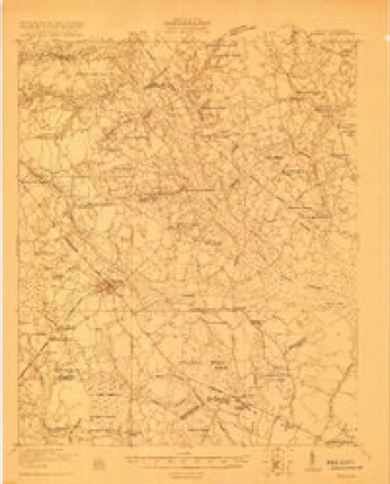
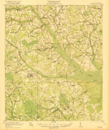
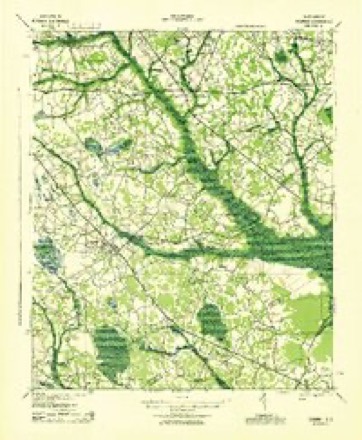
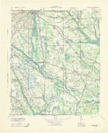
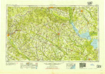
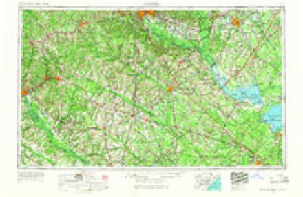
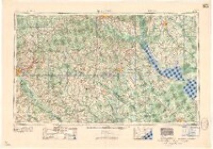
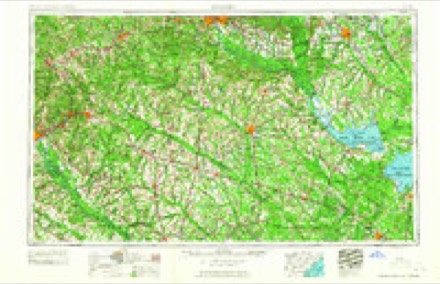
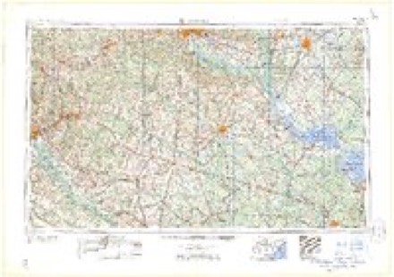
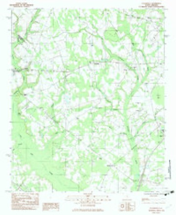
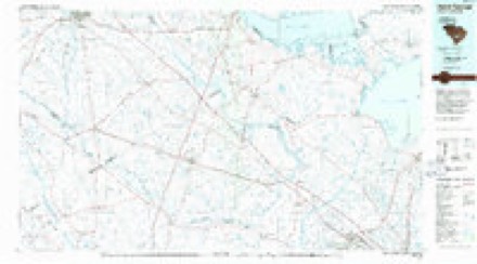
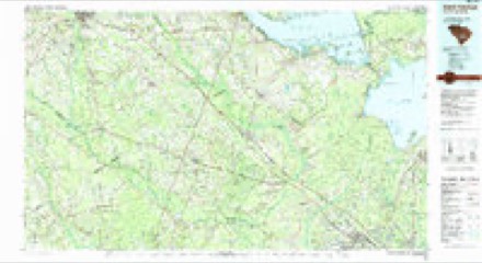
12 surveys from 18 printed sheetsMatched by testing this settlement's coordinate against the published boundary of every sheet in the United States Geological Survey's historical collection. Each opens the scanned sheet at the Survey.
- 1920 USGS Bowman quadrangle1:48000
- 1921 USGS Bowman quadrangle1:62500, 4 printings
- 1943 USGS Bowman quadrangle1:62500
- 1943 USGS Orangeburg quadrangle1:125000
- 1954 USGS Augusta quadrangle1:250000
- 1957 USGS Augusta quadrangle1:250000, 3 printings
- 1958 USGS Augusta quadrangle1:250000
- 1961 USGS Augusta quadrangle1:250000, 2 printings
- 1962 USGS Augusta quadrangle1:250000
- 1982 USGS Felderville quadrangle1:24000
- 1985 USGS Saint George quadrangle1:100000
- 1990 USGS Saint George quadrangle1:100000
Fires near this place
313 since 1992Regional context, not property-specific evidence. The federal wildfire occurrence database lists 313 fires within 5 miles of Providence between 1992 and 2020, burning about 1,334 acres in total. 5 started naturally. 33 were recorded as arson. Distance is straight-line from the map coordinates, so a fire counted here may appear on a neighbouring settlement's page as well.
| Reported cause | Fires |
|---|---|
| Missing data/not specified/undetermined | 116 |
| Debris and open burning | 111 |
| Arson/incendiarism | 33 |
| Equipment and vehicle use | 21 |
| Smoking | 18 |
| Misuse of fire by a minor | 7 |
| Natural | 5 |
| Power generation/transmission/distribution | 1 |
| Fireworks | 1 |
The most recent of them, most recent first, with the day each was reported and the service that recorded it.
| Date | Cause | Size | Reported by | Name on the report |
|---|---|---|---|---|
| 4 September 1993 | Missing data/not specified/undetermined | under an acre | South Carolina Forestry Commission | not named |
| 4 September 1993 | Missing data/not specified/undetermined | 1.0 acres | South Carolina Forestry Commission | not named |
| 30 September 2006 | Debris and open burning | 3.0 acres | South Carolina Forestry Commission | not named |
| 3 September 1999 | Debris and open burning | 5.0 acres | South Carolina Forestry Commission | not named |
| 27 September 1996 | Missing data/not specified/undetermined | under an acre | South Carolina Forestry Commission | not named |
| 26 September 2019 | Debris and open burning | under an acre | South Carolina Forestry Commission | not named |
| 25 September 2017 | Equipment and vehicle use | 2.0 acres | South Carolina Forestry Commission | not named |
| 25 September 2016 | Debris and open burning | under an acre | South Carolina Forestry Commission | not named |
Settlements close enough to share some of these fires:
Storms near this place
14 since 2001Regional context, not property-specific evidence. The National Weather Service names Providence in 14 storm reports between 2001 and 2025: 10 thunderstorm wind, 3 tornado, 1 hail. No death or injury is recorded in these reports. Each account below is quoted exactly as the forecast office filed it, from the NOAA Storm Events Database, and each date opens the federal record of that event.
| When | Event | Place named | Harm | What the report says |
|---|---|---|---|---|
| June 2013 | Tornado (EF1) | Providence | $340,000 | NWS storm survey found an EF1 tornado that began near Ayshire Road and Ebenezer Road. The tornado continued to move southeast across Ebenezer Road between 4 Holes Farm Road and Duncan Chape Road. The tornado continued into Dorchester County. Numerous trees and powerlines were down and three homes were damaged. Five homes had moderate damage and 28 agricultural buildings were badly damaged or destroyed. |
| July 2015 | Thunderstorm Wind | Providence | $12,000 | Electric Company reported several trees and powerlines down from south of Santee to south of Eutawville. |
| June 2013 | Hail | Providence | $8,000 | From a storm survey the public reported half dollar size hail on Ditch Bank and Ebenezer roads. |
| April 2011 | Thunderstorm Wind | Providence | $8,000 | Sheriff reported trees down in the town of Providence. |
| July 2010 | Thunderstorm Wind | Providence | $2,000 | Highway Patrol reported trees down on I-26 near mile marker 167. |
| June 2025 | Thunderstorm Wind | Providence | - | The SC DOT webcam on I-95 near mile marker 93 shows trees down on the interstate blocking the road. Time estimated from radar. |
| September 2024 | Tornado (EF1) | Providence | - | A long track EF-1 tornado from an outer band of Tropical Storm Helene began in eastern Orangeburg County and crossed into western Calhoun county north of Cameron Rd, just southwest of Cameron. The tornado began west of Providence near Little Bull Swamp and then continued northwest crossing Five Chop Road. Moving northwest, EF-1 tree damage was observed along Wild Hearts Road, Whisperwood Road, and Sleepy Hollow Road. The tornado then crossed Cameron Road northeast of Orangeburg. Scattered EF-0 damage was observed in Calhoun County. |
| July 2019 | Thunderstorm Wind | Providence | - | Two trees were downed at 207 Jack Branch Rd. Time estimated. |
| May 2016 | Thunderstorm Wind | Providence | - | Reported trees down near I-95 and US Route 176. |
| June 2016 | Thunderstorm Wind | Providence | - | Reported trees down along mile marker 165 on the westbound side of I-26. |
| June 2014 | Tornado (EF0) | Providence | - | An EF0 Tornado snapped off a few trees and uprooted a couple of trees along a path from near Ditch Bank Road southeast across Old School House Road then across Ebenezer Road to near Fiesta Court. The estimated wind speeds ranged from 75 to 85 mph. |
| June 2014 | Thunderstorm Wind | Providence | - | SC Highway Patrol reported trees down on I-26 near mile marker 169. |
| June 2014 | Thunderstorm Wind | Providence | - | Along Ennis Lane there was a small tree uprooted. There was damage to a small shed covering a water pump. Portions of a metal roof covering an open air cattle barn was damaged. There was also some damage to a corn field that was due to a microburst. There were additional small to large branches down along Ebenezer Road. |
| July 2001 | Thunderstorm Wind | Providence | - | Highway Patrol reported trees down along I 95 between Providence and Santee. |
Nearest settlements
The eight closest, with where each one stands in the county. Distances are straight-line, computed from the Geographic Names Information System coordinates.
| Map | Place | Distance | Sheets |
|---|---|---|---|
| Dantzler | 2.7 miles | 18 | |
| Wells | 3.6 miles | 17 | |
| Whetsell | 4.8 miles | 18 | |
| Felderville | 4.9 miles | 18 | |
| Oaks Crossroads | 6.3 miles | 18 | |
| Santee | 6.4 miles | 17 | |
| Milligans | 6.6 miles | 17 | |
| Vance | 6.9 miles | 17 |
Elsewhere
Matched on this settlement's Geographic Names Information System number rather than its name, so it cannot be a different place of the same name in another state.
| Wikipedia article on Providence | An encyclopaedic summary. Its text is share-alike, so it is linked here rather than copied. |
| Wikidata item Q7252367 | The structured record the population and elevation above come from. Public domain (CC0). |
Provenance
This settlement is recorded in the Geographic Names Information System as feature 1242788. The sheet list is computed by point-in-boundary test against the United States Geological Survey's historical topographic inventory. Both are works of the United States government and carry no copyright under 17 U.S.C. 105.
Wildfire. Short, Karen C. 2022. Spatial wildfire occurrence data for the United States, 1992-2020 [FPA_FOD_20221014]. 6th Edition. Fort Collins, CO: Forest Service Research Data Archive. https://doi.org/10.2737/RDS-2013-0009.6 Collected with United States Government funding and usable without additional permissions or fees.
Storms. NOAA National Centers for Environmental Information, Storm Events Database https://www.ncei.noaa.gov/stormevents/ A work of the United States government, no copyright under 17 U.S.C. 105. Narratives are quoted verbatim from the National Weather Service report and are not edited or summarised.