 Block
River Falls, South Carolina
15 topographic sheets cover this place, the earliest surveyed in 1905 and the latest in 1986. It stands in the Slater-Marietta census division. It lies in ZIP code area 29661. It stands on Head Foremost Creek. The Survey maps it on the Cleveland quadrangle.
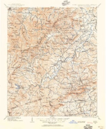
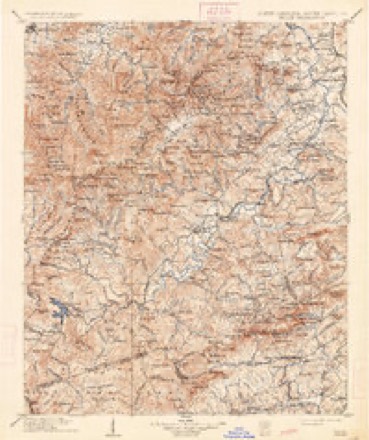
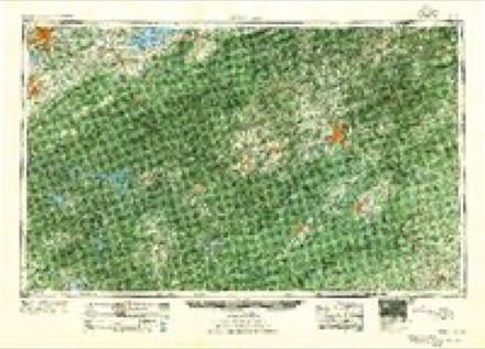
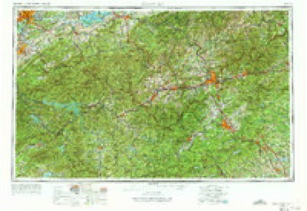
Topographic sheets covering this place
8 surveys from 15 printed sheetsMatched by testing this settlement's coordinate against the published boundary of every sheet in the United States Geological Survey's historical collection. Each opens the scanned sheet at the Survey.
- 1905 USGS Pisgah quadrangle1:125000
- 1906 USGS Pisgah quadrangle1:125000, 2 printings
- 1955 USGS Knoxville quadrangle1:250000
- 1957 USGS Knoxville quadrangle1:250000, 4 printings
- 1960 USGS Knoxville quadrangle1:250000, 2 printings
- 1961 USGS Cleveland quadrangle1:24000, 2 printings
- 1964 USGS Knoxville quadrangle1:250000
- 1986 USGS Hendersonville quadrangle1:100000, 2 printings
Fires near this place
98 since 1992Regional context, not property-specific evidence. The federal wildfire occurrence database lists 98 fires within 5 miles of River Falls between 1992 and 2020, burning about 979 acres in total. 5 started naturally. 12 were recorded as arson. Distance is straight-line from the map coordinates, so a fire counted here may appear on a neighbouring settlement's page as well.
| Reported cause | Fires |
|---|---|
| Missing data/not specified/undetermined | 37 |
| Debris and open burning | 32 |
| Arson/incendiarism | 12 |
| Natural | 5 |
| Equipment and vehicle use | 3 |
| Smoking | 3 |
| Recreation and ceremony | 2 |
| Power generation/transmission/distribution | 2 |
| Misuse of fire by a minor | 1 |
| Other causes | 1 |
The most recent of them, most recent first, with the day each was reported and the service that recorded it.
| Date | Cause | Size | Reported by | Name on the report |
|---|---|---|---|---|
| 26 September 1999 | Missing data/not specified/undetermined | under an acre | South Carolina Forestry Commission | not named |
| 20 September 1998 | Debris and open burning | 2.0 acres | South Carolina Forestry Commission | not named |
| 17 September 1999 | Debris and open burning | 3.0 acres | South Carolina Forestry Commission | not named |
| 4 August 2017 | Debris and open burning | 65 acres | South Carolina Forestry Commission | not named |
| 26 August 2016 | Power generation/transmission/distribution | under an acre | North Carolina Forest Service | MINE MOUNTAIN TRAIL |
| 24 August 1997 | Arson/incendiarism | under an acre | South Carolina Forestry Commission | not named |
| 2 August 1999 | Natural | 15 acres | South Carolina Forestry Commission | not named |
| 12 August 2002 | Debris and open burning | 1.5 acres | South Carolina Forestry Commission | not named |
Settlements close enough to share some of these fires:
Mines and quarries near this place
1 within 5 milesRegional context, not property-specific evidence. The federal mineral resources record lists 1 working within 5 miles of River Falls: 1 past producer. None of them still produces. What was taken out: Mica. Distance is straight-line from the map coordinates, so a quarry counted here may appear on a neighbouring settlement's page as well.
| Where | Site | Commodity | Status | Recorded |
|---|---|---|---|---|
| Caesar's Head Mine | Mica | Past Producer |
Storms near this place
12 since 2010Regional context, not property-specific evidence. The National Weather Service names River Falls in 12 storm reports between 2010 and 2024: 4 thunderstorm wind, 4 flash flood, 2 hail, 1 lightning. The reports record 1 injury. Each account below is quoted exactly as the forecast office filed it, from the NOAA Storm Events Database, and each date opens the federal record of that event.
| When | Event | Place named | Harm | What the report says |
|---|---|---|---|---|
| May 2018 | Lightning | River Falls | 1 hurt | Newspaper reported a woman was injured by a lightning strike on Ymca Camp Rd. |
| February 2020 | Flash Flood | River Falls | $200,000 | Stream gauges reported widespread flash flooding occurred along all major watersheds in Greenville County, including the Saluda, Reedy, and Enoree basins, after 5 to 8 inches of rain fell across northern and central portions of the county in about 18 hours. More than half of that rain fell in less than six hours during the morning of the 6th. Flooding first developed along the North Saluda River, with a gauge on Highway 11 exceeding flood stage and indicating inundation of Old Settlement Rd and low-lying areas near Bates Bridge Rd. The Reedy River flooded through downtown Greenville, inundating Cleveland Park, adjacent portions of the Swamp Rabbit Trail, as well as Hudson St and Westfield St. Around 30 people had to be rescued from businesses in Berea due to flooding along the Reedy. The Enoree River and a couple of its tributaries, including Brushy Creek, Rocky Creek, and Gilder Creek flooded in the Greer, Pelham, and Five Forks/Simpsonville areas, inundating several roads, including Gibb Shoals Rd, East Georgia Rd, and low lying areas adjacent to Highway 417 near the Spartanburg County line. |
| September 2024 | Flash Flood | River Falls | $50,000 | Stream gauges indicated flash flooding developed over the headwaters of the Saluda River basin after 15-20 inches of rain, with locally higher amounts fell across the area over three days, with 1.5 to 3 inches of that falling in less than three hours on the morning of the 27th. The Middle Saluda and smaller tributaries overflowed their banks in the River Falls community, inundating portions of River Falls Rd, Devils Fork Rd, Oil Camp Rd, and Gap Creek Rd, where a house was inundated. Additionally, the North Saluda overflowed onto Old Settlement Rd near Highway 11 and inundated a farm off Bates Bridge Rd. |
| September 2024 | Tornado (EF0) | River Falls | $5,000 | Emergency manager reported a brief tornado touched down in an area between Jones Gap State Park and River Falls Rd. Multiple trees were blown down and some outbuildings were damaged. |
| July 2016 | Thunderstorm Wind | River Falls | - | Highway Patrol reported a tree blown down at McCarson Rd and River Falls Rd and one more tree down at Fire Tower Rd and Highway 276. |
| May 2016 | Hail | River Falls | - | Public, SC Park Service, and CoCoRahs observer reported up to half dollar size along YMCA Camp Rd, Oil Camp Creek Rd, and across Jones Gap State Park in extreme northern Greenville County. |
| July 2013 | Flash Flood | River Falls | - | Hart Cut Rd was closed due to flooding. Pine Ridge Dr was also flooded and closed in this same area. |
| August 2013 | Flash Flood | River Falls | - | River Falls Road and Devils Fork Road were flooded by local streams. |
| April 2012 | Hail | River Falls | - | Quarter size hail almost covered the ground at Jones Gap State Park. |
| July 2010 | Thunderstorm Wind | River Falls | - | Large tree limbs were blown down along Gap Creek Rd 4 miles north of Cleveland. A tree also fell on power lines about 5 miles north of Marietta. |
| June 2010 | Thunderstorm Wind | River Falls | - | Several large limbs were blown down on Gap Creek Rd near Jones Gap. A tree was also blown down near highway 25 and Old Highway 25. |
| June 2010 | Thunderstorm Wind | River Falls | - | Numerous large tree limbs were blown down on Devils Fork Rd. |
Nearest settlements
The eight closest, with where each one stands in the county. Distances are straight-line, computed from the Geographic Names Information System coordinates.
| Map | Place | Distance | Sheets |
|---|---|---|---|
| Riverview | 2.3 miles | 15 | |
| Gap Creek | 3.2 miles | 28 | |
| Cleveland | 3.6 miles | 15 | |
| Caesars Head | 4.5 miles | 15 | |
| Terry (historical) | 4.6 miles | 17 | |
| Terry Creek | 4.9 miles | 28 | |
| Lima | 5.5 miles | 17 | |
| Mountain Lake Colony | 5.6 miles | 15 |
Provenance
This settlement is recorded in the Geographic Names Information System as feature 1250392. The sheet list is computed by point-in-boundary test against the United States Geological Survey's historical topographic inventory. Both are works of the United States government and carry no copyright under 17 U.S.C. 105.
Wildfire. Short, Karen C. 2022. Spatial wildfire occurrence data for the United States, 1992-2020 [FPA_FOD_20221014]. 6th Edition. Fort Collins, CO: Forest Service Research Data Archive. https://doi.org/10.2737/RDS-2013-0009.6 Collected with United States Government funding and usable without additional permissions or fees.
Mines and quarries. USGS Mineral Resources Data System (MRDS) https://mrdata.usgs.gov/mrds/ A work of the United States government, no copyright under 17 U.S.C. 105.
Storms. NOAA National Centers for Environmental Information, Storm Events Database https://www.ncei.noaa.gov/stormevents/ A work of the United States government, no copyright under 17 U.S.C. 105. Narratives are quoted verbatim from the National Weather Service report and are not edited or summarised.