 Block
Rockville, South Carolina
19 topographic sheets cover this place, the earliest surveyed in 1919 and the latest in 1990. It stands in the Wadmalaw Island census division. It lies in ZIP code area 29487. It stands on Adams Creek. The Survey maps it on the Rockville quadrangle. 141 people lived here at the 2020 count. It stands 23 feet above sea level.
On record in Rockville
Buildings and businesses the archive holds for this place. Each opens its own page, with the source record it came from.
On the National Register 1 record
- John Seabrook Plantation Bridgelisted 1974
Population over time
2 figuresRockville grew from 134 to 141 between 2010 and 2020. These are the recorded population figures Wikidata holds for this place, reached through the Geographic Names Information System number this page is keyed on rather than by name, so they belong to this place and not to another of the same name. Most are census counts, but not all are: an early figure may be a founding or settlement estimate, and an estimate published within five years of a census is left out. The change column is computed, and is left blank where more than 20 years separate a figure from the one before it, because a gap that long is not a change between two counts.
| Year | People | Change |
|---|---|---|
| 2010 | 134 | |
| 2020 | 141 | +7 (+5%) |
Topographic sheets covering this place
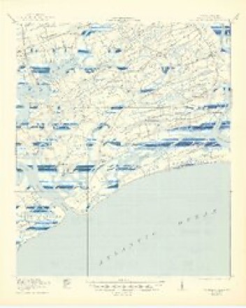
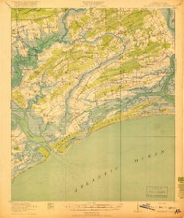
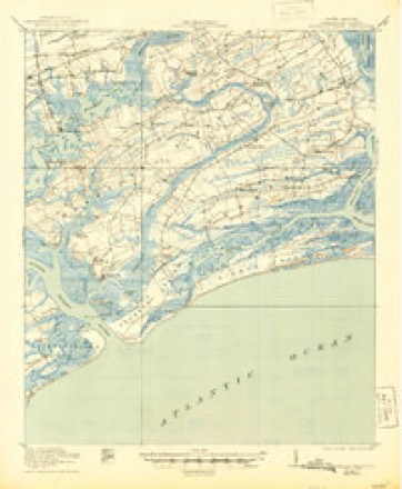
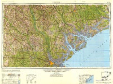
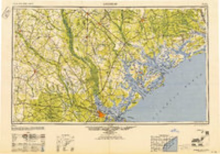
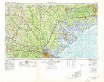
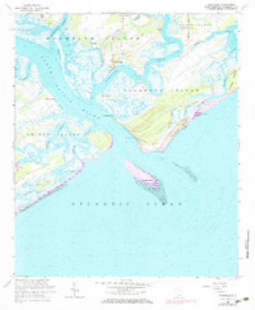
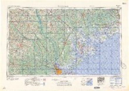
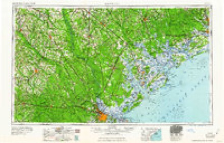
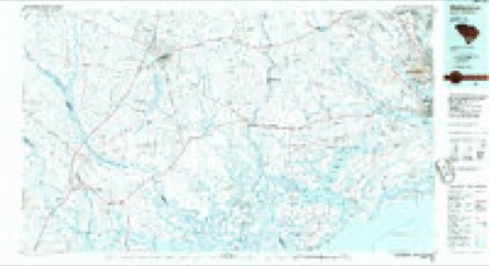
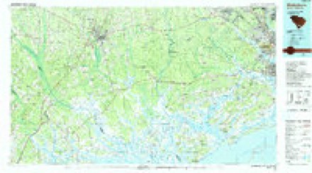
11 surveys from 19 printed sheetsMatched by testing this settlement's coordinate against the published boundary of every sheet in the United States Geological Survey's historical collection. Each opens the scanned sheet at the Survey.
- 1919 USGS Wadmalaw Island quadrangle1:24000
- 1919 USGS Wadmelaw Island quadrangle1:62500
- 1944 USGS Wadmelaw Island quadrangle1:62500, 2 printings
- 1947 USGS Savannah quadrangle1:250000
- 1948 USGS Savannah quadrangle1:250000
- 1957 USGS Savannah quadrangle1:250000, 4 printings
- 1960 USGS Rockville quadrangle1:24000, 4 printings
- 1960 USGS Savannah quadrangle1:250000
- 1961 USGS Savannah quadrangle1:250000, 2 printings
- 1986 USGS Walterboro quadrangle1:100000
- 1990 USGS Walterboro quadrangle1:100000
Fires near this place
65 since 1992Regional context, not property-specific evidence. The federal wildfire occurrence database lists 65 fires within 5 miles of Rockville between 1992 and 2019, burning about 370 acres in total. 1 started naturally. 18 were recorded as arson. Distance is straight-line from the map coordinates, so a fire counted here may appear on a neighbouring settlement's page as well.
| Reported cause | Fires |
|---|---|
| Missing data/not specified/undetermined | 22 |
| Debris and open burning | 21 |
| Arson/incendiarism | 18 |
| Equipment and vehicle use | 2 |
| Natural | 1 |
| Misuse of fire by a minor | 1 |
The most recent of them, most recent first, with the day each was reported and the service that recorded it.
| Date | Cause | Size | Reported by | Name on the report |
|---|---|---|---|---|
| 9 September 1998 | Arson/incendiarism | 3.0 acres | South Carolina Forestry Commission | not named |
| 11 September 2007 | Arson/incendiarism | under an acre | South Carolina Forestry Commission | not named |
| 7 July 1994 | Missing data/not specified/undetermined | 3.0 acres | South Carolina Forestry Commission | not named |
| 6 July 2012 | Arson/incendiarism | 3.5 acres | South Carolina Forestry Commission | not named |
| 20 July 2007 | Natural | 4.0 acres | South Carolina Forestry Commission | not named |
| 25 June 2019 | Equipment and vehicle use | 60 acres | South Carolina Forestry Commission | not named |
| 12 June 2002 | Arson/incendiarism | under an acre | South Carolina Forestry Commission | not named |
| 6 May 2001 | Debris and open burning | under an acre | South Carolina Forestry Commission | not named |
Settlements close enough to share some of these fires:
Mines and quarries near this place
2 within 5 milesRegional context, not property-specific evidence. The federal mineral resources record lists 2 workings within 5 miles of Rockville: 2 unknowns. None of them still produces. What was taken out: Titanium, Zirconium, Iron, Iron, Thorium, Zirconium, Titanium. Distance is straight-line from the map coordinates, so a quarry counted here may appear on a neighbouring settlement's page as well.
| Where | Site | Commodity | Status | Recorded |
|---|---|---|---|---|
| Edisto Island Quadrangle | Titanium, Zirconium, Iron | Unknown | Placer , Modern , Beach | |
| Wadmalaw | Iron, Thorium, Zirconium, Titanium | Unknown | Placer , Modern , Beach |
Storms near this place
31 since 1997Regional context, not property-specific evidence. The National Weather Service names Rockville in 31 storm reports between 1997 and 2025: 21 thunderstorm wind, 5 tornado, 3 flash flood, 2 hail. No death or injury is recorded in these reports. Each account below is quoted exactly as the forecast office filed it, from the NOAA Storm Events Database, and each date opens the federal record of that event.
| When | Event | Place named | Harm | What the report says |
|---|---|---|---|---|
| October 2015 | Flash Flood | Rockville | $728,550 | Law enforcement reported the Kiawah Island Main Gate closed to entry traffic due to flooding. |
| August 2008 | Thunderstorm Wind | Rockville | $10,000 | A trained weather spotter reported that strong thunderstorm winds beached and damaged several yachts and boats along the north Edisto River near Rockville, South Carolina. The boats were preparing for the Rockville Regatta. |
| June 2009 | Thunderstorm Wind | Rockville | $4,000 | A trained weather spotter reported 10-12 inch diameter Oak trees uprooted outside the Seabrook Property Owners building on Seabrook Island, South Carolina. |
| July 2025 | Thunderstorm Wind | Rockville | $1,000 | South Carolina Highway Patrol reported a tree down on Roseville Road. |
| June 2012 | Thunderstorm Wind | Rockville | $1,000 | The Charleston County 911 Dispatch reported a tree down along Maybank Highway on Wadmalaw Island. |
| June 2009 | Thunderstorm Wind | Rockville | $1,000 | A golf course employee reported numerous large tree branches down on Kiawah Island Golf Resort. |
| June 2009 | Thunderstorm Wind | Rockville | $500 | A county official reported a tree down at Friarson Elementary School in the 6000 block of Maybank Highway, 2 miles north of Rockville, South Carolina. |
| August 2008 | Thunderstorm Wind | Rockville | $500 | A trained weather spotter reported a 2 to 3 foot diameter tree was knocked down by strong thunderstorm winds in Seabrook Island, South Carolina. |
| June 2008 | Thunderstorm Wind | Rockville | $500 | A tree was reported down on Betsy Kerrison Parkway in Kiawah Island, South Carolina. |
| September 2024 | Tornado (EF1) | Rockville | - | A National Weather Service storm survey team confirmed that an EF-1 tornado with estimated peak winds of 90 mph and associated with Helene, impacted portions of Wadmalaw Island. The tornado, possibly beginning as a waterspout just west or northwest of Rockville, downed several large trees along Brigger Hill Road and McCants Road. The tornado then quickly travelled north snapping and blowing down several cluster of large hardwood trees along Leadenwah Drive and Allendale Plantation Road before dissipating in an area of water and marsh south of Heron Island Way. The tornado was likely at its strongest passing over Leadenwah Drive where the tree damage was the most extensive. |
| August 2024 | Tornado (EF0) | Rockville | - | A National Weather Service Storm Survey Team confirmed an EF0 tornado with an estimated maximum wind speed of 85 mph in Kiawah Island, South Carolina occurring from 955 PM to 959 PM EST.||The tornado, associated with an outer rainband of Tropical Storm Debby, moved onshore around the 30 to 40 Block area of Surfsong Road on Kiawah Island, South Carolina. No significant damage was detected at the point it came onshore. The tornado then moved rapidly northwest through the center of Turtle Point Golf Course, snapping some trees and limbs around the 270 to 280 Block area on Doral Open Road. The tornado then continued north toward the 25 to 30 Block of Governors Drive, where it snapped and uprooted some trees. The tornado then moved northwest and dissipated over the marsh region between Governors Drive and Rhetts Bluff Road. |
| June 2023 | Thunderstorm Wind | Rockville | - | The Charleston County 911 Call Center relayed a report of a tree down on Pumpkin Hill Road near Betsy Kerrison Parkway. |
| May 2020 | Thunderstorm Wind | Rockville | - | The public reported a large tree and traffic light down where Betsy Kerrison Highway turns into Bohicket Road. |
| April 2020 | Tornado (EF1) | Rockville | - | A National Weather Service Storm Survey Team confirmed an EF-1 tornado with a estimated maximum wind speed of 105 mph on the southwest side of Kiawah Island. The same storm that produced a tornado at Edisto Beach and Seabrook Island produced a third tornado on Kiawah Island. The tornado developed near the 12th hole of a golf course just east of the intersection between Surfwatch Drive and Palm Warbler Road, traveled east-northeast down the fairway and into a residential neighborhood before dissipating just east of Green Winged Teal Road. Evidence of the tornado was clearly seen on both sides of the fairway, where several large trees were snapped or had damage to large branches. |
| April 2020 | Thunderstorm Wind | Rockville | - | A trained spotter reported a tree down on Kiawah Beach Drive. |
| April 2020 | Thunderstorm Wind | Rockville | - | A picture on social media indicated a tin roof partially blown off and in trees. |
| April 2020 | Thunderstorm Wind | Rockville | - | A National Weather Service Storm Survey Team determined a downburst of wind snapped off trees and branches as well as uprooted others in and around Night Heron Park and an adjacent apartment complex. A tree also fell into an apartment, breaking out several home windows, producing minor roof damage, and damage to a porch railing. |
| April 2020 | Thunderstorm Wind | Rockville | - | A member of the public reported several trees down around their property on Airy Hall, including some roof damage caused by falling trees. |
| June 2016 | Thunderstorm Wind | Rockville | - | The Charleston County Sheriff Office reported a tree down and blocking Roseville Road. |
| June 2016 | Thunderstorm Wind | Rockville | - | The South Carolina State Highway Patrol reported a tree down in the 2800 Block of Roseville Road near the intersection with Bumblebee Road. |
| June 2015 | Thunderstorm Wind | Rockville | - | South Carolina DOT reported a tree blown down onto Bohicket Road at River Road. |
| August 2015 | Thunderstorm Wind | Rockville | - | A trained spotter reported a tree down about 2 miles from the intersection of Bohicket Road and River Road. |
| May 2014 | Tornado (EF0) | Rockville | - | A weak and brief tornado moved onto the south-central part of Kiawah Island, possibly starting as a waterspout. The tornado traveled west about a tenth of a mile before dissipating. Beach chairs and umbrellas were thrown but there were no apparent injuries or structural damage. Winds were estimated to range from 55 to 65 mph. Video of the event was recorded by the public and relayed to the National Weather Service by local television media. The event took place on the beach area nearly right in front of The Sanctuary Hotel and Resort. |
| August 2012 | Tornado (EF0) | Rockville | - | A funnel cloud first appeared over Kiawah Island then moved into the waterway east of the bridge on Kiawah Island Parkway. Based on photographs and video taken, it appears that the funnel briefly touched down near the Intracoastal Waterway before dissipating. There were no reports of damage associated with this tornado. |
| May 2009 | Thunderstorm Wind | Rockville | - | A trained spotter reported a tree down at a residence on Seabrook Island in South Carolina. |
| June 2009 | Thunderstorm Wind | Rockville | - | A trained weather spotter estimated a wind gust of 60 mph at the intersection of River Road and Betty Kerrison Parkway, 4 miles northeast of Rockville, South Carolina. |
| August 2008 | Flash Flood | Rockville | - | A trained weather spotter reported significant streen flooding on Seabrook Island, with water rising several inches above the running boards of cars. |
| August 2008 | Flash Flood | Rockville | - | A trained weather spotter reported the main road on Seabrook Island was impassable by most vehicles due to flooding. |
| August 2008 | Hail | Rockville | - | A trained weather spotter reported penny size hail and torrential rainfall in Seabrook Island, South Carolina. |
| January 2006 | Hail | Rockville | - | Nickel size hail occurred in the River Road area of Seabrook Island. |
| June 1997 | Thunderstorm Wind | Rockville | - | no account filed |
Nearest settlements
The eight closest, with where each one stands in the county. Distances are straight-line, computed from the Geographic Names Information System coordinates.
| Map | Place | Distance | Sheets |
|---|---|---|---|
| Rockland | 0.9 miles | 19 | |
| Oakgrove | 2.0 miles | 17 | |
| Seabrook Island | 2.1 miles | 19 | |
| Camp Saint Christopher | 2.5 miles | 19 | |
| Bears Bluff | 4.4 miles | 18 | |
| White Point Landing | 5.0 miles | 18 | |
| Steamboat Landing | 5.2 miles | 18 | |
| Wadmalaw Island | 5.3 miles | 17 |
Elsewhere
Matched on this settlement's Geographic Names Information System number rather than its name, so it cannot be a different place of the same name in another state.
| Wikipedia article on Rockville | An encyclopaedic summary. Its text is share-alike, so it is linked here rather than copied. |
| Wikidata item Q2466870 | The structured record the population and elevation above come from. Public domain (CC0). |
Provenance
This settlement is recorded in the Geographic Names Information System as feature 1231739. The sheet list is computed by point-in-boundary test against the United States Geological Survey's historical topographic inventory. Both are works of the United States government and carry no copyright under 17 U.S.C. 105.
Wildfire. Short, Karen C. 2022. Spatial wildfire occurrence data for the United States, 1992-2020 [FPA_FOD_20221014]. 6th Edition. Fort Collins, CO: Forest Service Research Data Archive. https://doi.org/10.2737/RDS-2013-0009.6 Collected with United States Government funding and usable without additional permissions or fees.
Mines and quarries. USGS Mineral Resources Data System (MRDS) https://mrdata.usgs.gov/mrds/ A work of the United States government, no copyright under 17 U.S.C. 105.
Storms. NOAA National Centers for Environmental Information, Storm Events Database https://www.ncei.noaa.gov/stormevents/ A work of the United States government, no copyright under 17 U.S.C. 105. Narratives are quoted verbatim from the National Weather Service report and are not edited or summarised.